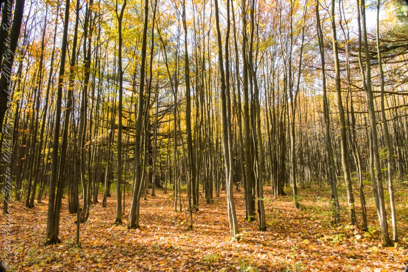
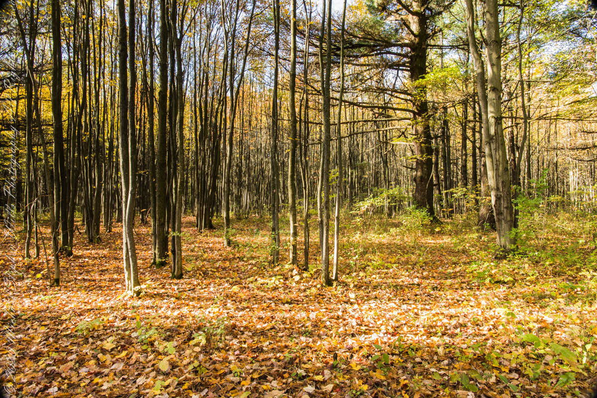
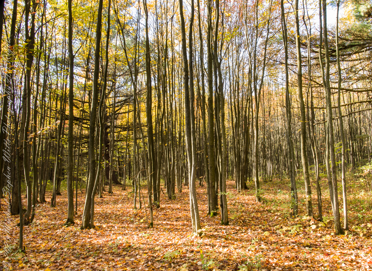
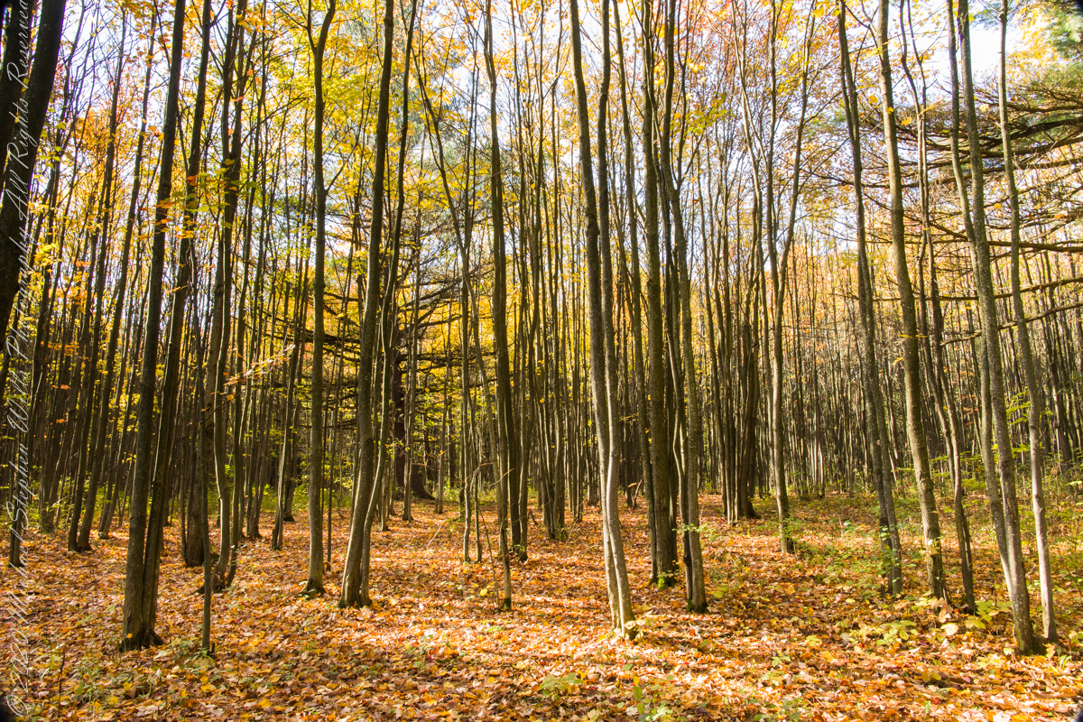
In the long history of this forested ridge two Iroquois tribes visited this unproductive land for tree nuts and hunting, unproductive in that the soil did not support agriculture. After the Revolutionary War, the British siding Iroquois tribes were driven away and the land given as one mile square blocks to soldiers, in payment for service. Those who settled this ridge cleared the land and farmed as best they could. During the Depression era, many of these farms were abandoned and others sold to the Federal government.
In the long history of this forested ridge two Iroquois tribes relied on this land for tree nuts and hunting, the soil did not support agriculture. After the Revolutionary War, the British siding Iroquois tribes were driven away and the land given as one mile square blocks to soldiers, in payment for service. During the Depression era, many of these farms were abandoned and others sold to the Federal government.
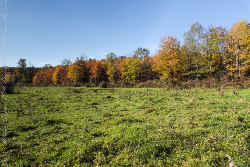
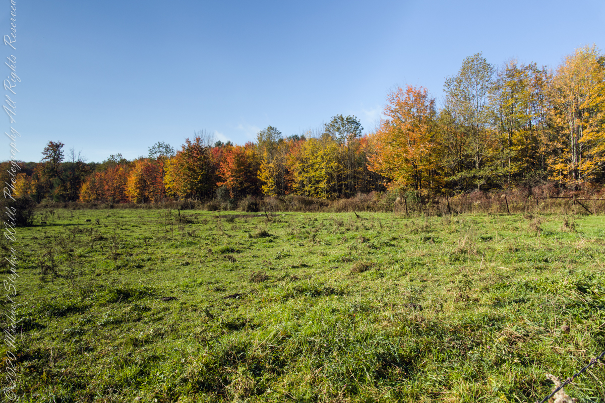
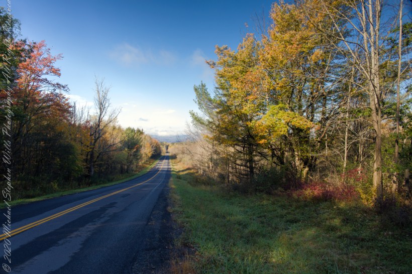
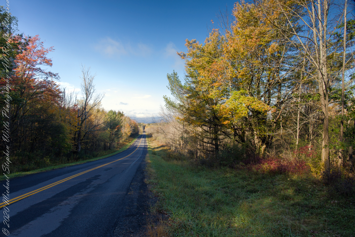
Today, there is a patchwork of private land and National Forest. This line of color marks the forest boundary on the eastern ridge side.
Click photograph for a larger view. To do this from WordPress Reader, you need to first click the title of this post to open a new page.
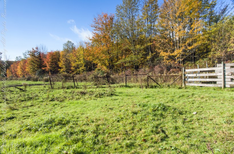
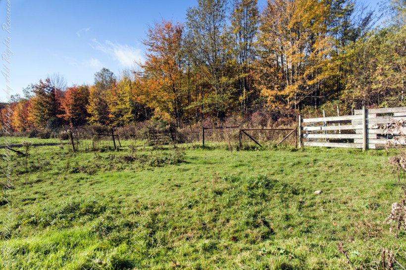
I positioned the tripod against the barbed wire fence marking the posted property. A few barbs and sear goldenrod flowers just visible in the lower right corner.
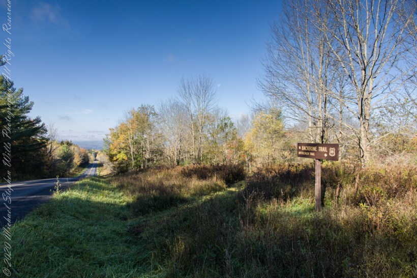
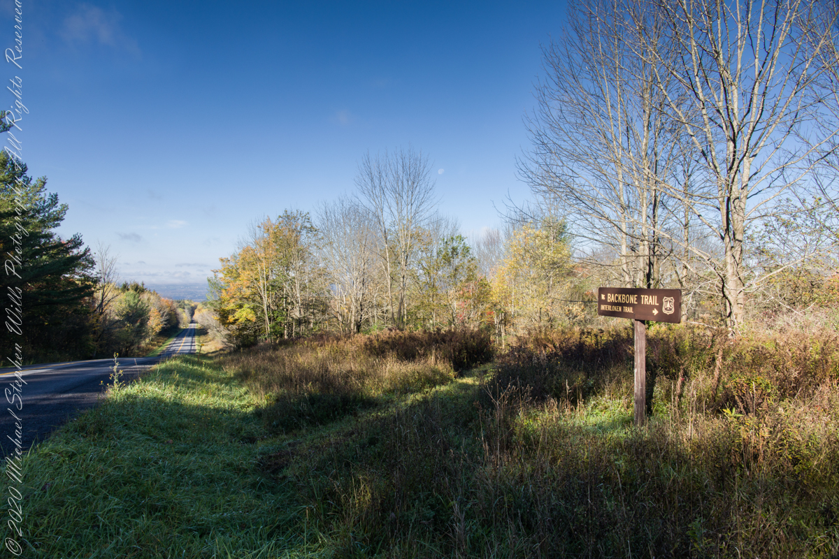
An open road, autumn morning, a hiking trail under a setting moon. Thirty miles of hiking trails thread these 16,212 acres. Some, like the Backbone trail, traverse farmland reverted to forest and meadow, popular for horseback riding.
Click photograph for a larger view. To do this from WordPress Reader, you need to first click the title of this post to open a new page.
The only National Forest in New York State, this land is visible as a ridge to the west of our home. Here we are on the west side, the ridge of Seneca Lake in the distance.
Click photograph for a larger view. To do this from WordPress Reader, you need to first click the title of this post to open a new page.
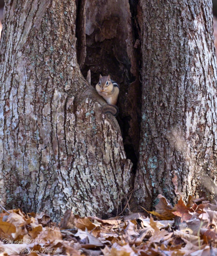
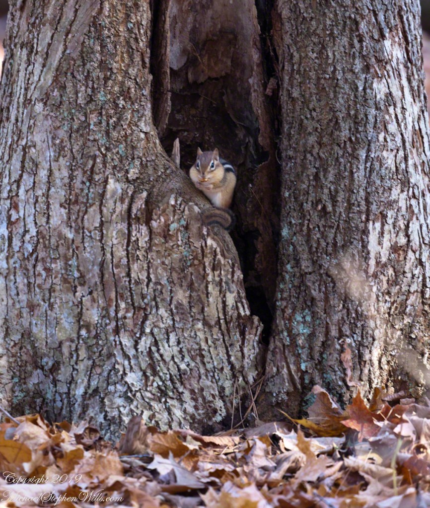
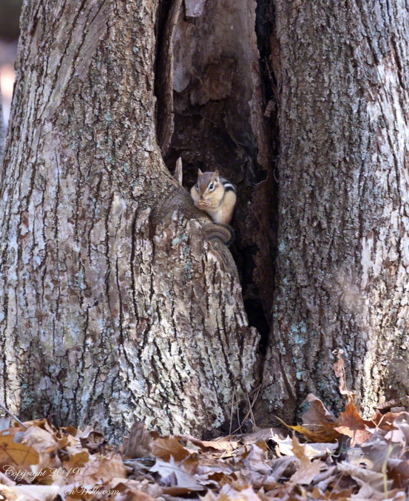
Perched on its doorstep, an Eastern Chipmunk gorges on an ample supply of acorns. These small rodents are omnivores. Here are two shots, each with an acorn in hand and full cheek pouches.
Wary Chipmunk with acorn
Chipmunk eating acorn
Copyright 2021 All Rights Reserved Michael Stephen Wills
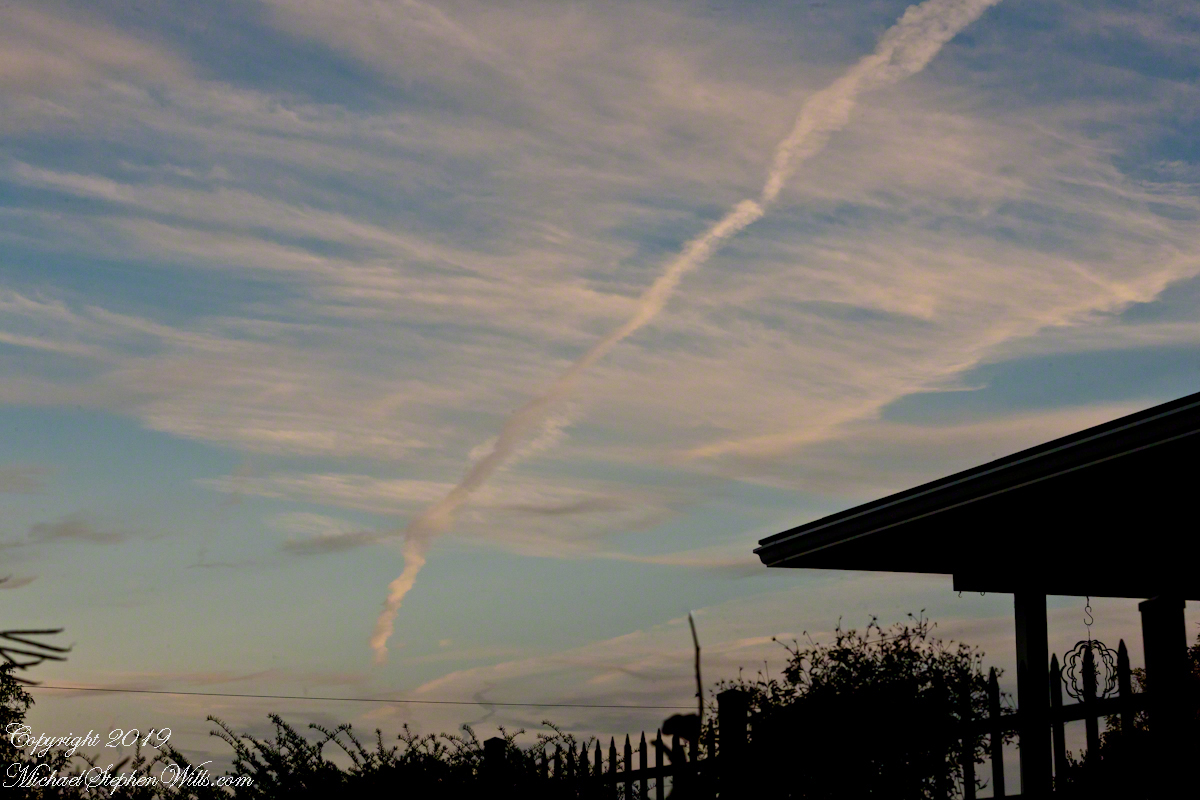
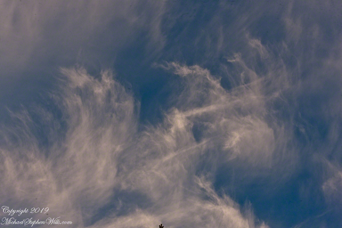
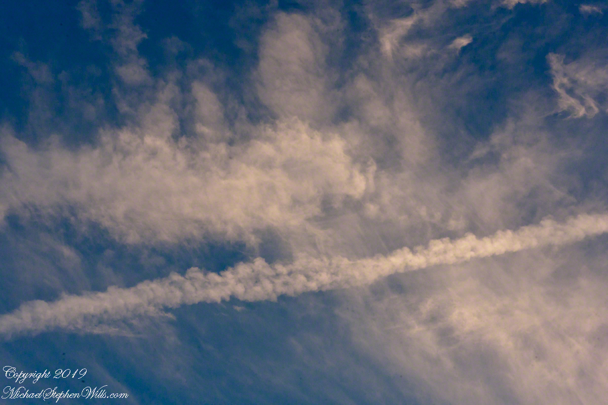
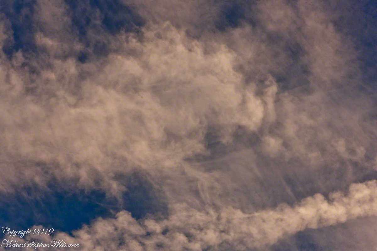
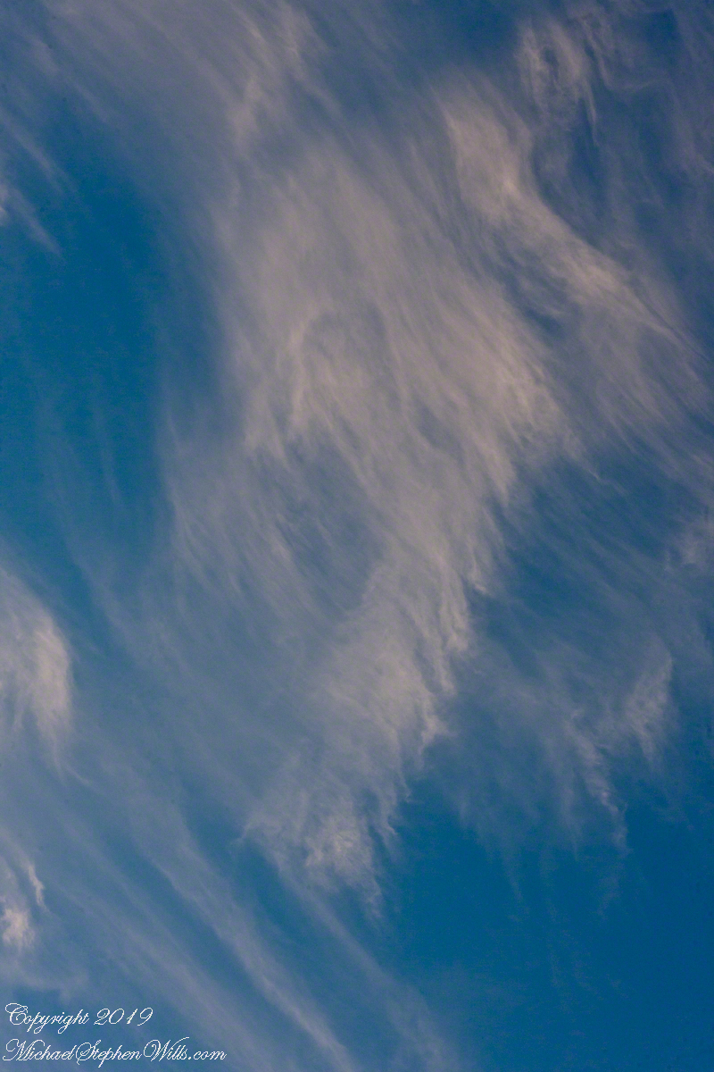
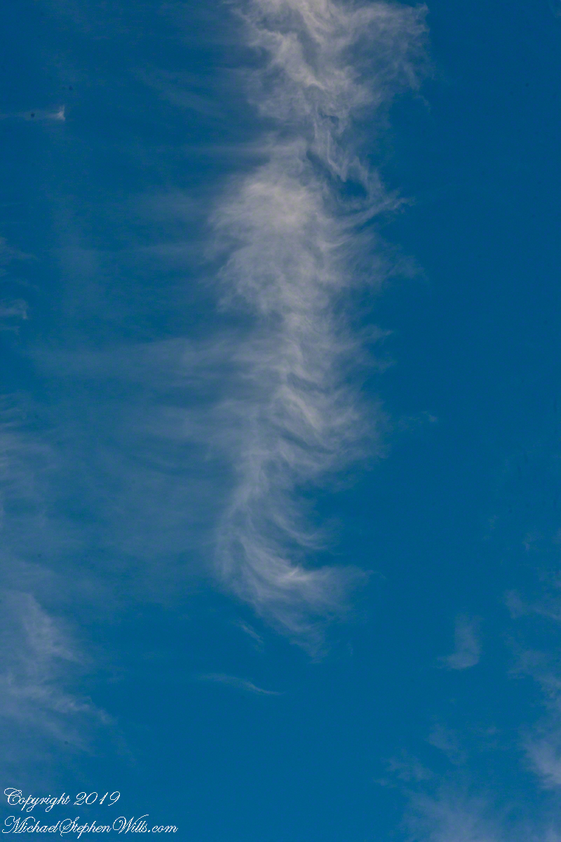
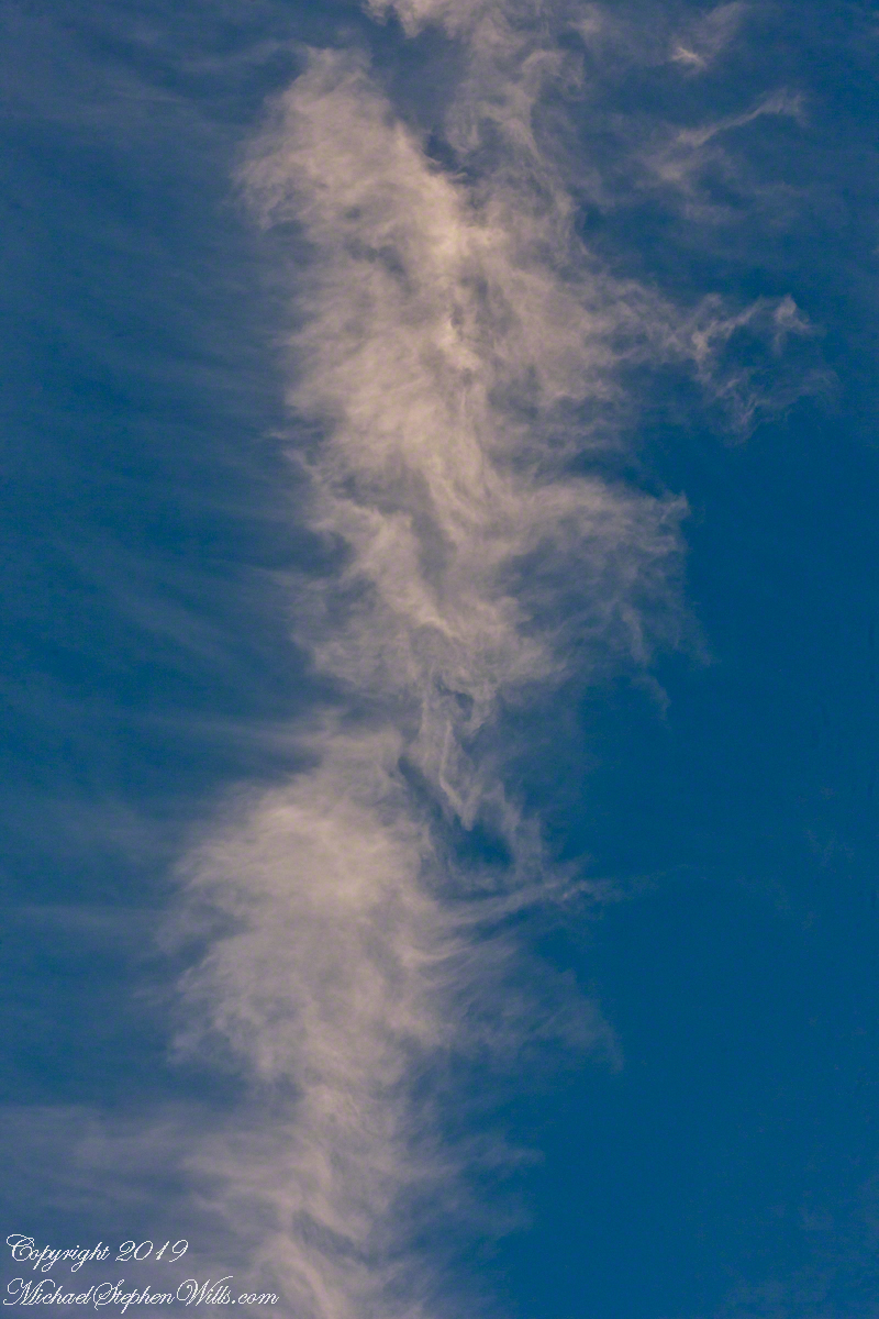
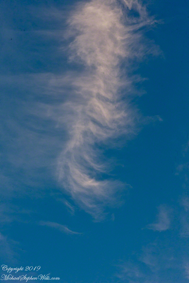
This evening cirrus clouds filled the sky at sunset. View the following photographs to understand how these forms are named from the Latin word for a ringlet, or curl, of hair. Formed above 16,500 feet, on this day the cirrus glow with the light of a sun low in the sky.
Here is a wide view from our driveway that includes a deteriorating con trail and possibly a mixture of other cloud types, I am no expert. I used a Canon “zoom” lens for flexibility in framing. To minimize exposure time for a crisp capture of the moving object, ISO was set to to 1,000 and the f-stop minimized.
Click any image for a larger views. Then, click again to return to post.
Post production I needed to spend time removing dust spots (neglected to clean the image sensor), some of the images still have those annoying spots.
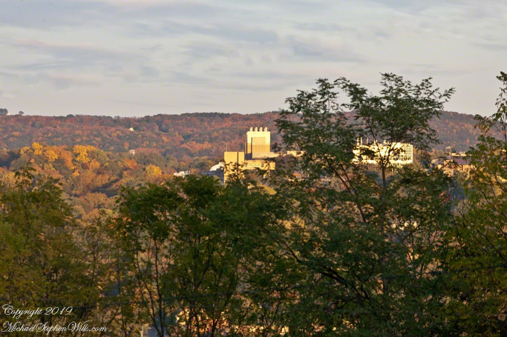
We enjoy looking west across the valley when the hills are glowing.
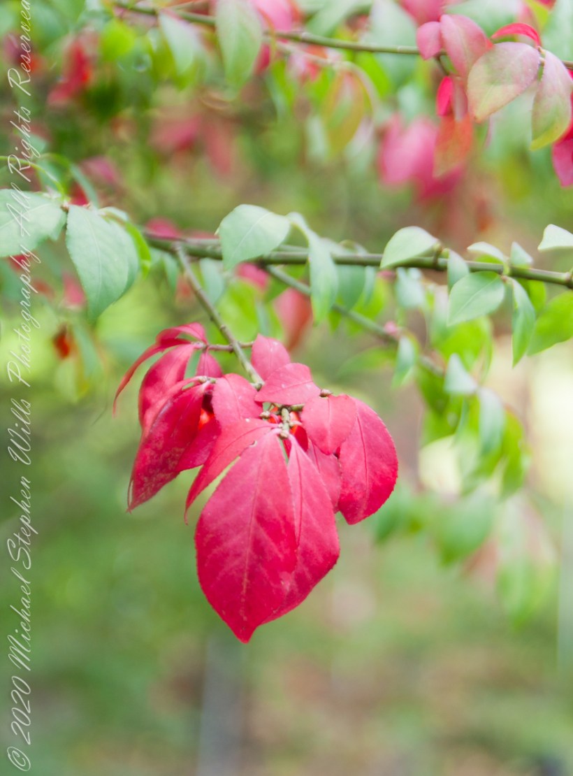
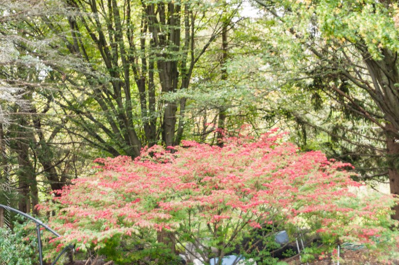
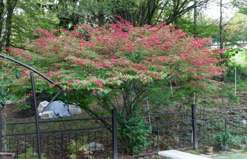
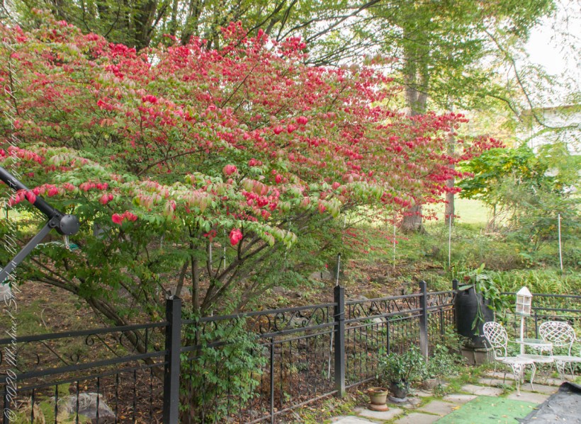
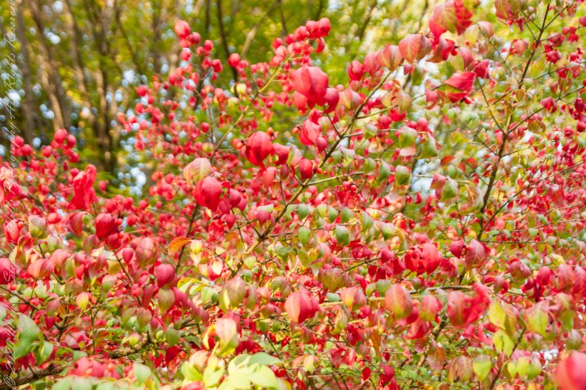
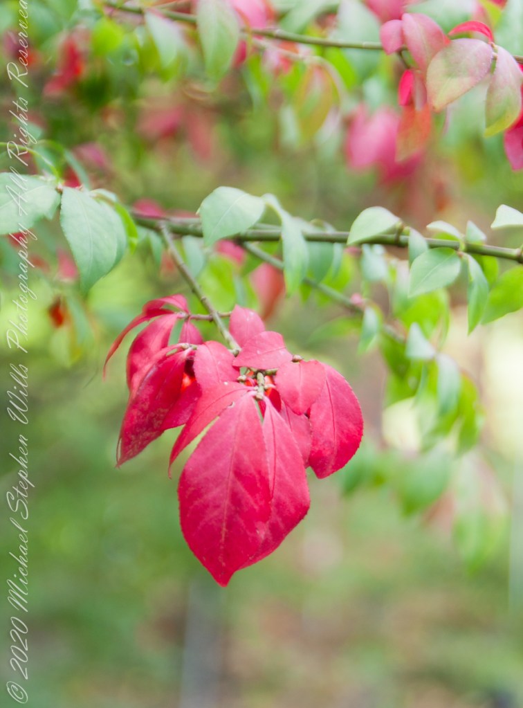
After we came home from the Underground Railroad excursion, with a camera and time on my hands, this Euonymus bush fringed with scarlet leaves caught my eye. Starting with a leaf here and there in September the flame-like color spreads until it takes on the character it is named for “Firebush.”
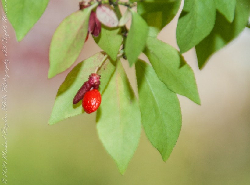
Springtime it is covered with tiny green flowers, each turns to a small, fleshy fruit encapsulating tiny seeds said to be loved by birds. As ours neglect the fruits, I’ve taken to collecting them to spread along the borders of our back property. Here and there some have sprouted around the bush, this year I marked a few to move this winter when the plant is dormant. I have high hopes for success of this project as the species is known as “invasive” in 21 states.
Click pic for larger view in a new browser tab. If you are in WordPress Reader, open the post to use this feature.
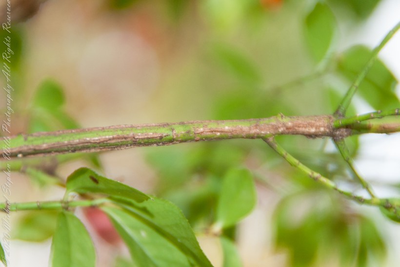
All parts of the plant are toxic, causing severe discomfort when eaten. The name “Spindle plant” was given it in England for the corky wings that grow long the length of stems, not so pronounced with our Euonymus species.
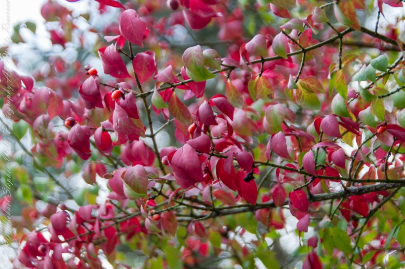
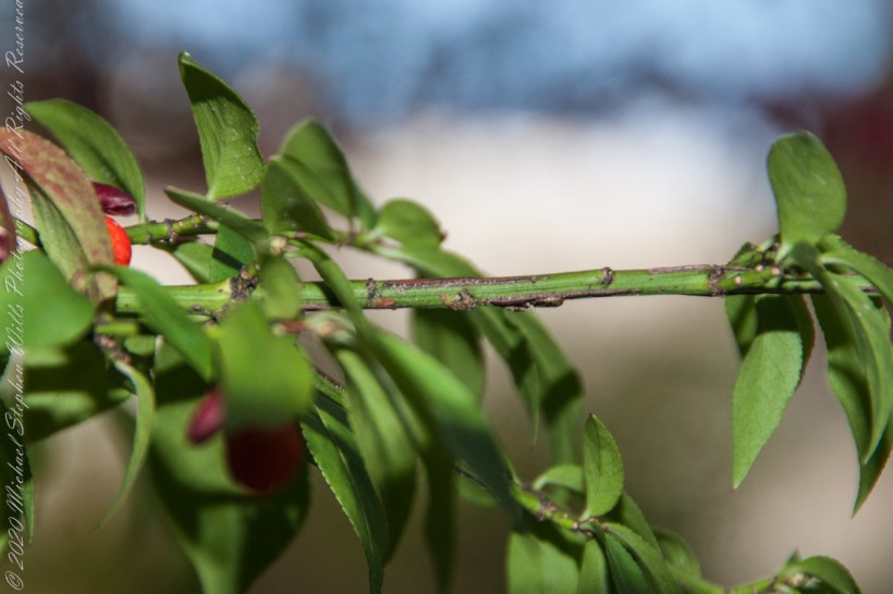
Here are macros of the flaming leaves and fleshy berry.
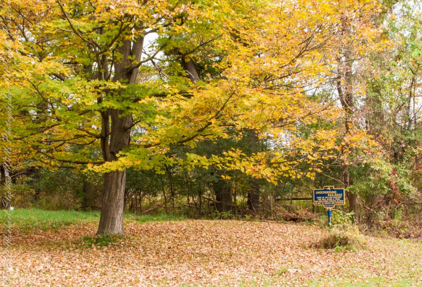
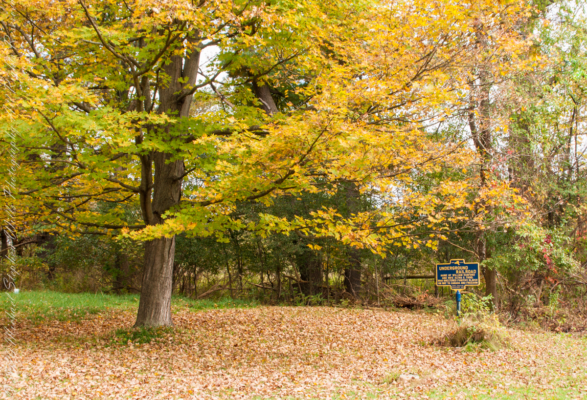
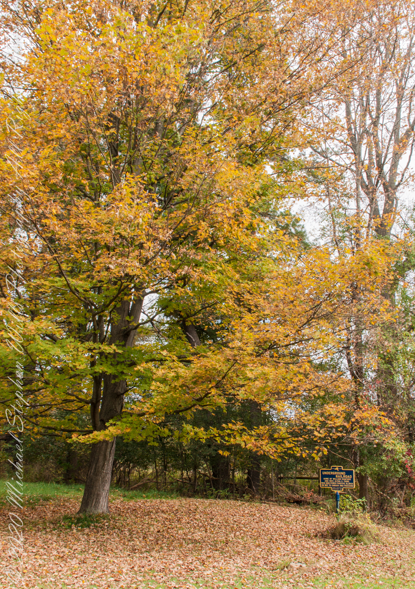
We have often travelled Lower Creek Road as an alternate route to visit my son and his family who live in Freeville, a village named for the activity of the Underground Railroad. After noticing this sign in passing for years, this week we stopped on a glorious autumn morning to capture it. I had packed the Sony Alpha 700 dslr for just such an opportunity.
Just off the road, under a maple tree in full autumn color (yellow), ground covered with fallen leaves (brown) on a fine early October morning, the sign reads, “New York, UNDERGROUND RAILROAD, HOME OF WILLIAM HANFORD AND WIFE ALTHA C. TODD, WHO SHELTERED FUGITIVE SLAVES ON THE WAY TO CANADA AND FREEDOM, STATE EDUCATION DEPARTMENT 1932”. These dark blue background, bright yellow letter signed are found throughout this region and much appreciated.
October 5, 2014 found Pam and I at Keuka Lake after my son completed the Wine Glass Marathon. Here we are at the finish line in Corning, home of the Corning Glass Factory. You may know it from your set of Correlle dinnerware.
Marathoner and his proud father
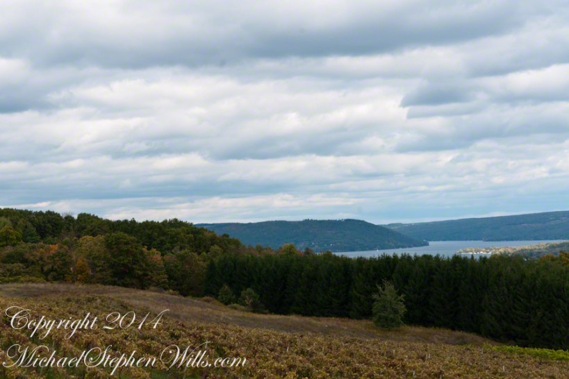
Afterwards, Pam and I made it up to the Dr. Frank Winery for a tasting followed by dinner at a local restaurant. Here is a photograph from the same viewpoint, using the “zoom” setting of my Sony DSLR A700. The view is more interesting than the winter shot of “Keuka Lake Winter I” from the autumn clouds and the burst of late day sun on the eastern lake shore.
This is the juncture of the “Y” shaped lake where the two arms joint the long foot. The pointed high headland is the point where the two arms meet. We are looking north here. The western arm, on the right, is unique in that the water is flowing down into the juncture. In Keuka Lake the water flows in two directions. The flow of lake foot and eastern arm is in the opposite direction, Keuka Lake empties at the top of the eastern arm, eventually reaching Lake Ontario.
North View from Overlook using “Zoom” lens
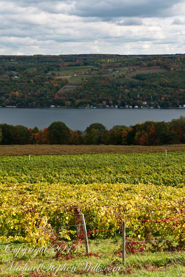
Here is the eastern view, from the overlook, looking over a vineyard ready for harvest, covered with fruit and leaves. Every once in awhile there is a loud “bang” from a noisemaker used to discourage birds from feasting on grapes. The buildings along the shore are summer cottages, Keuka is lined with them.
East View on an autumn afternoon
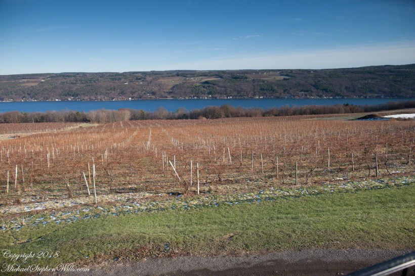
The same view, from our December 2018 visit. The vines are bare, the fallen leaves cleared, the vine roots covered under banked earth to protect them from the cold.
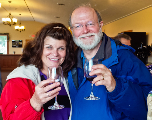
Pam and I, enjoying wine after the 2014 Wine Glass Marathon. Cheers!!


 Michael Stephen Wills Photography