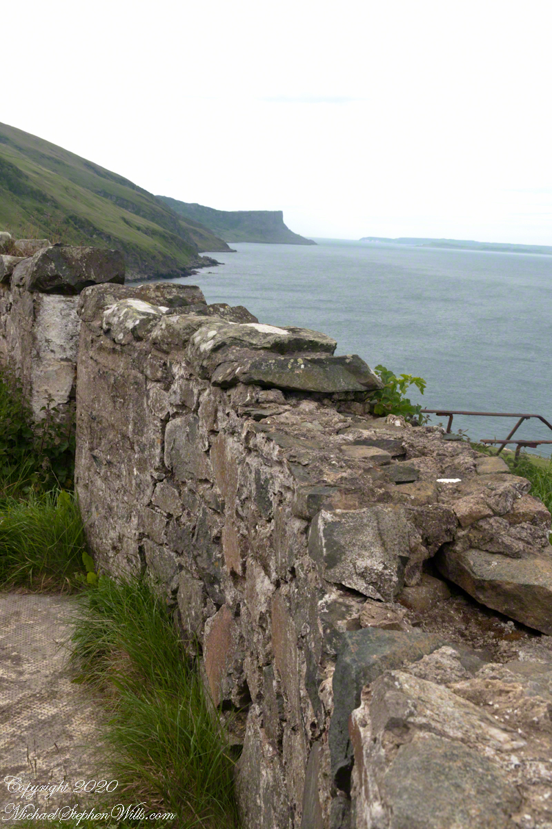
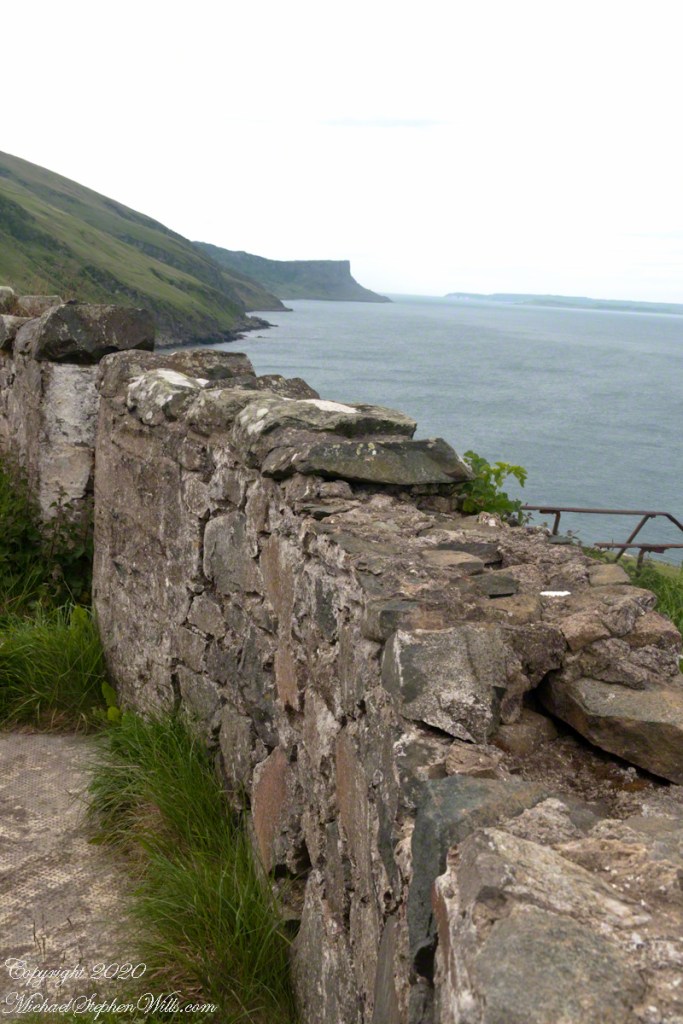
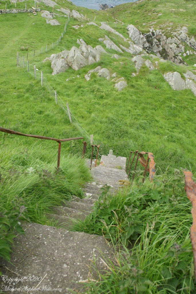
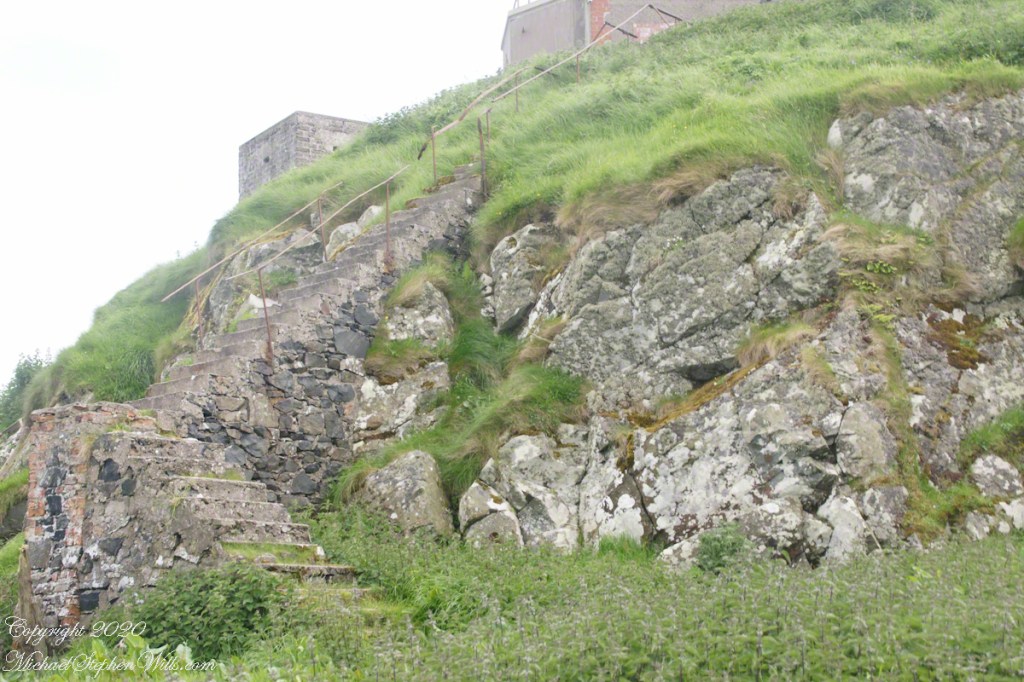
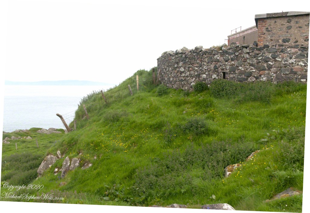
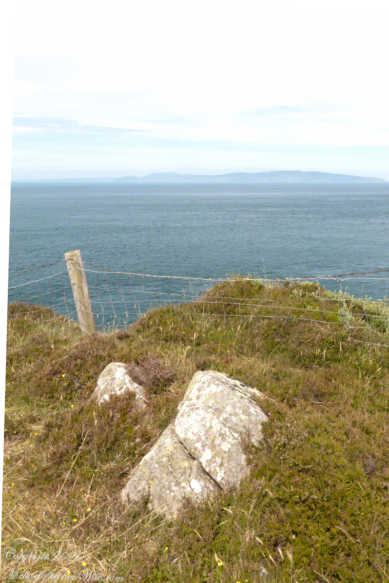
Weathered masonry at the height of Torr Head was there to serve the custom house and as support for a spotting station where ships transiting the Strait of Moyle (Irish Sruth na Maoile), the 12 miles of water to the Mull of Kintyre.
Lloyd’s of London, vitally interested in the appearance of ships’ progress crossing the oceans, had notice of passage via semaphore (and, later, Marconi’s “wireless”). Destination ports were copied in.
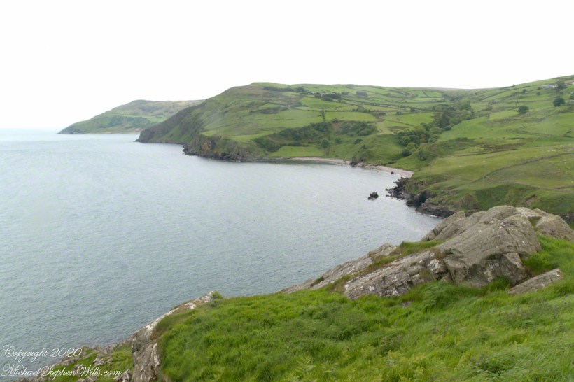
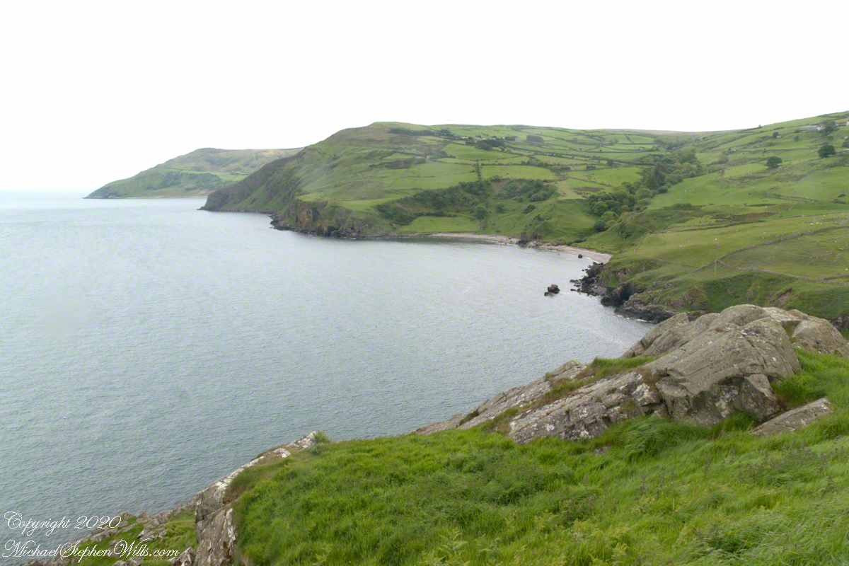
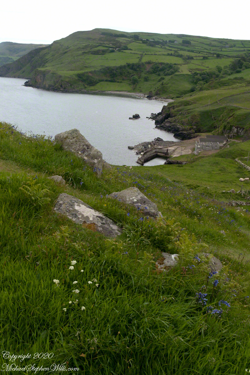
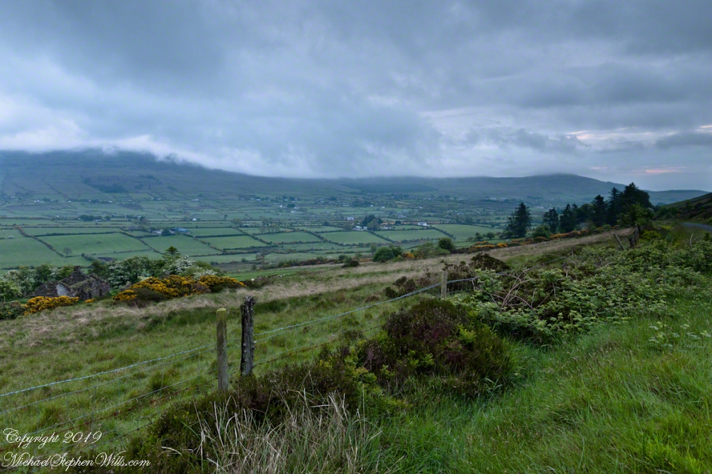
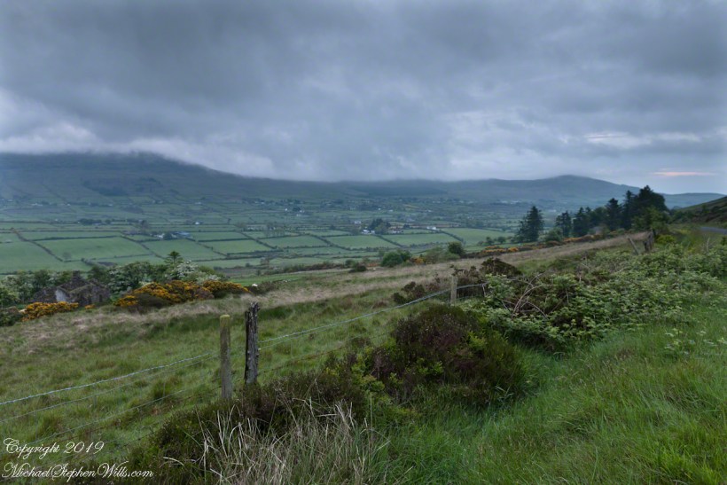
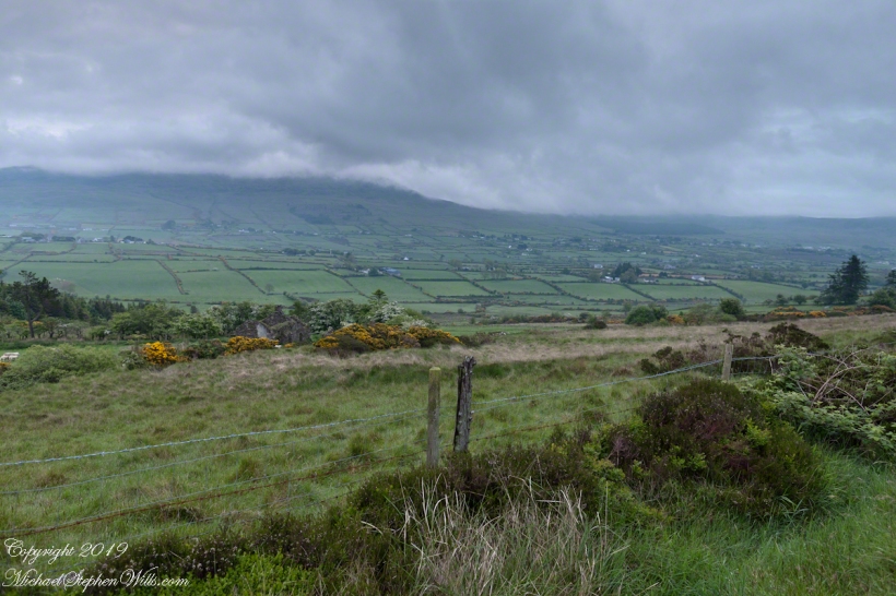
Scottish influences touched the landscape covered by yesterday’s post, today we continue on this subject with these south facing views from Torr Head. The far ridge of Torrcor marks Loughan Bay.
A townland on the other side of Torrcor hill (and townland) has an eponymous ruin, Altagore Cashel. Mores the pity we did not visit this site, a thick drystone enclosing wall from the 5th century (you can see photographs from another site at this link). Cashel is from the Irish Caiseal, a circular, defensive fort (“ring fort”).
Books such as “Antrim and Argyll: Some Aspects of the Connections” tell of connections over the millennia, clan associations between the islands and ring forts such as Altagore Cashel.
Argylshire Scotland across the North Channel from Torr Head
Late spring and summer, weekdays, a net is stretched across the bay to catch salmon nosing up the coast, searching for their home spawning stream, here called Altmore Burn. “Burn” is a Scottish term for a fresh water source, evidence of the influence 12 miles across the north channel.
The small harbor seen here from Torr Head is for the salmon fishery. Small boats will seek shelter here from the wind and tides strong enough to roar in passing the Head, like a fast flowing river.
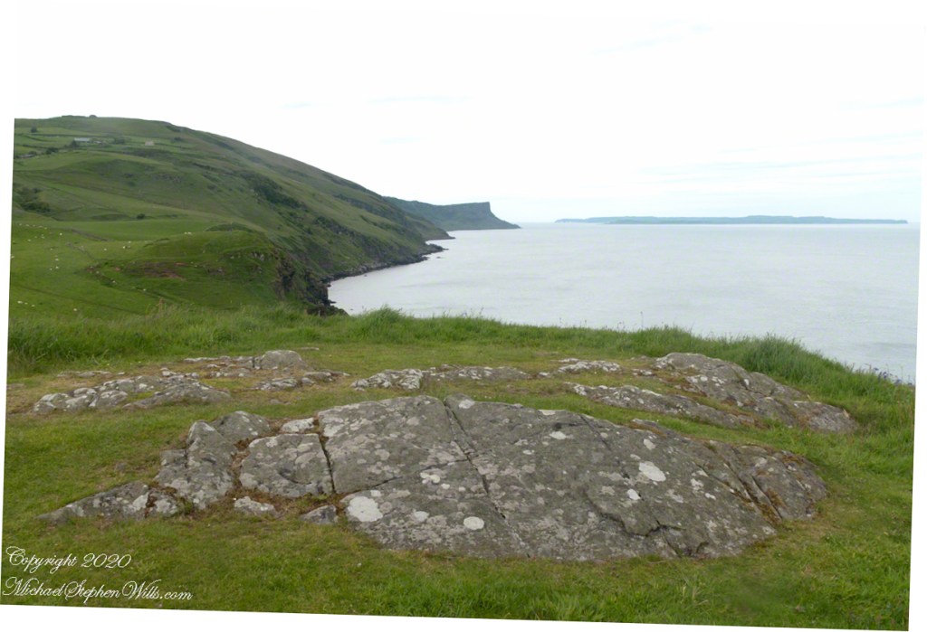
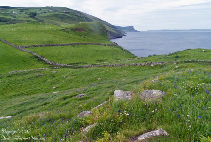
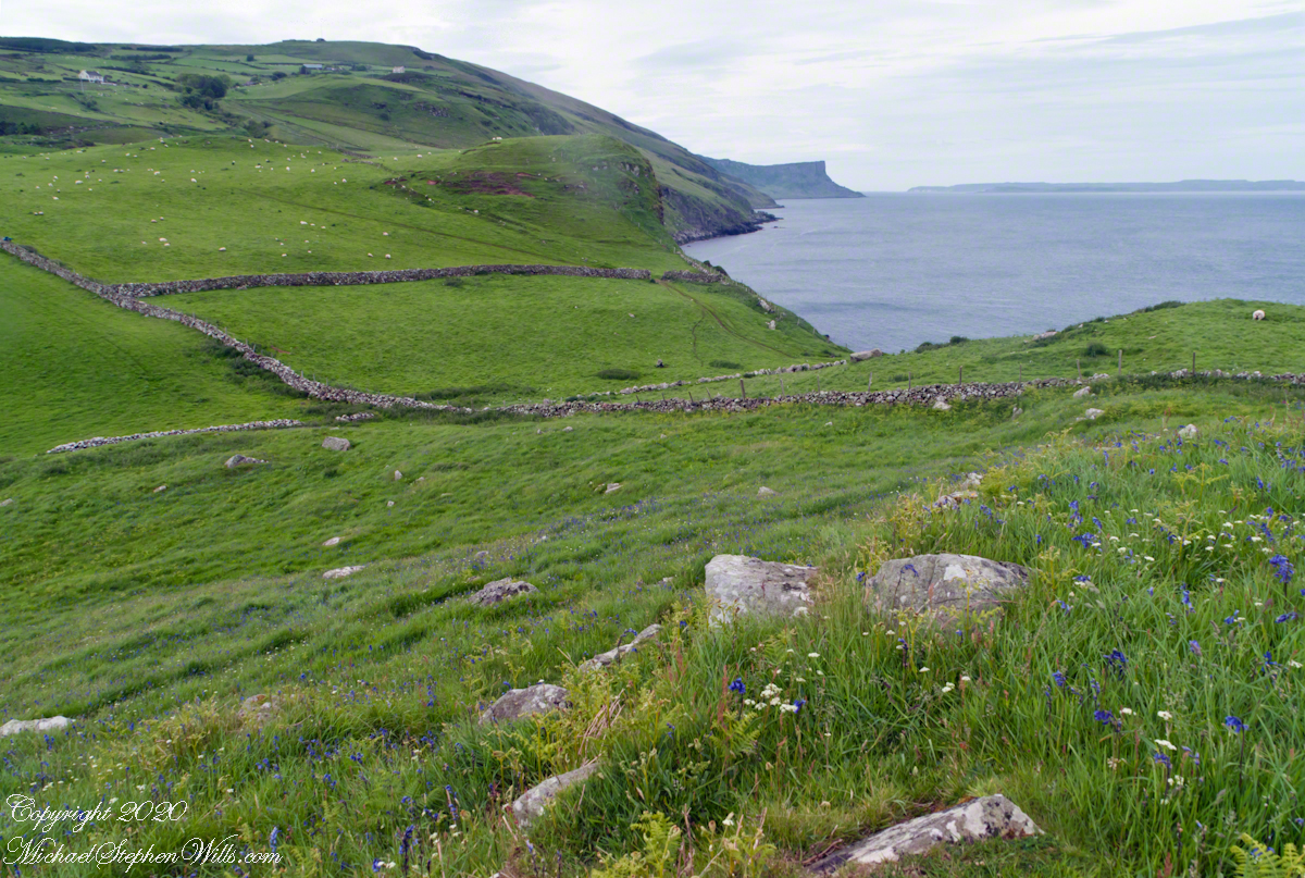
Taking in a flower meadow, foreground, coaster sheep pastures, the photograph, below, looks north from Torr Head. The high hill, midground, is Greenanmore, notable for a the largest passage tomb of the Antrim Glens. Locally known as “Barrach’s Tomb,” for the Red Branch knight of the 1st Century AD fort on Torr Head, tree ring research of the mid-20th Century dates these tombs in the neolithic The hilltop passage tomb was an ancient relic when the mortar of Barrach’s Torr Head fort was drying.
When I enlarge the original photograph, visible on the ridge is a decommissioned Cold War listening post, the tomb is near that. The distant land across the North Channel water is Rathlin Island.
Click photograph for a larger view. To do this from WordPress Reader, you need to first click the title of this post to open a new page.
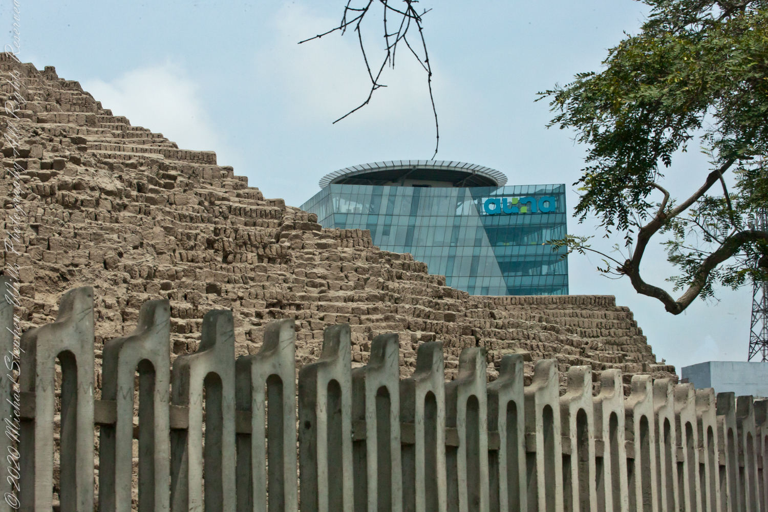
View of Clinica Delgado (hospital) from Lima Peru’s Elias Aguirre (street), Huaca Pucllana filling the foreground. Huacas are commonly located in nearly all regions of Peru outside the deepest parts of the Amazon basin in correlation with the regions populated by the pre-Inca and Inca early civilizations. They can be found in downtown Lima today in almost every district, the city having been built around them. Huaca Pucllana, located in Miraflores district, is an adobe and clay pyramid built from seven staggered platforms. It served as an important ceremonial and administrative center for the advancement of the Lima Culture, a society which developed in the Peruvian Central Coast between the years of 200 AD and 700 AD.
This the fifth and final of a series of landscape photographs taken from this position.
Click photograph for a larger view. To do this from WordPress Reader, you need to first click the title of this post to open a new page.
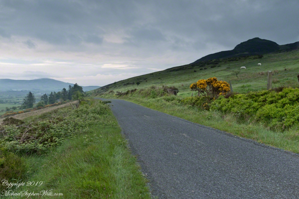
Slievenaglogh View with road, east
The peak is named, in the English language, Slievenaglogh. It is so strange as it’s not English, being instead a transliteration of the Irish name “Sliabh na gCloch.” This is “Rock Mountain” translated literally. Slievenaglogh is carried to the townland, a long thin swath of land being the peak and associated ridge-line.
The rocks up there are called “gabbro,” a type of magma slowly cooled under ground. Slievenaglog, Slieve Foy across the valley, and the Morne mountains all formed within volcano magma chamber(s) of the Paleocene, 66 million years ago, a time associated with extensive volcanism and the Cretaceous–Paleogene extinction event that gave rise to the current age.
Our younger cousin has been up there, optimistically we left it for a later trip.
Slievenaglogh View, northeastSlievenaglogh View, east northeastSlievenaglogh View, east northeastSlievenaglogh View, north northeastSlievenaglogh View with road, east
This the fourth of a series of landscape photographs taken from this position.
Click photograph for a larger view. To do this from WordPress Reader, you need to first click the title of this post to open a new page.
Slievenaglogh View, north northeast
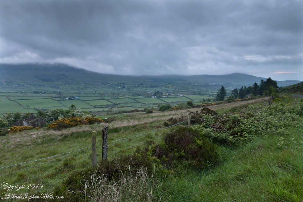
The distant ridge, Slieve Foy, is the site of a mythic battle from the epic “The Cattle Raid of Cooley” (Irish: Táin Bó Cúailnge).
Pam and I did a circuit of the island, returning to the home of my Mom’s first cousin. Our last full day on Ireland a cousin took us on the Tain Trail, over Maeve’s Gap of Slieve Foy and into Carlingford town.
Our route is partly visible to the right of the ridge, hidden in low clouds.
These are the second and third of a series of landscape photographs taken from this position. See the previous post for the first.
Click photograph for a larger view. To do this from WordPress Reader, you need to first click the title of this post to open a new page.
Slievenaglogh View, east northeastSlievenaglogh View, east northeast
I visited here early morning of the Monday Pam and I embarked on a trip around the island of Ireland.
Arrived the previous Saturday when, after some sites between Dublin airport and the Cooley Peninsula, we met my Mom’s first cousin who had invited us for a visit. We had a grand time meeting them.
The ruin in this view is on the slopes of the peak. Some of these ruins are former homes with the replacement nearby. This appears to be an abandoned farm.
Slievenaglogh is the name of a peak on the Cooley Peninsula of County Louth, Ireland near to the birthplace of my Mom, Proleek, a few townlands to the west.
Click photograph for a larger view. To do this from WordPress Reader, you need to first click the title of this post to open a new page.
Slievenaglogh View, northeast
On the northeast slope of Slievenaglogh peak (Irish: Sliabh na gCloch) on the road from Mullaghattin Townland to Riverstown.
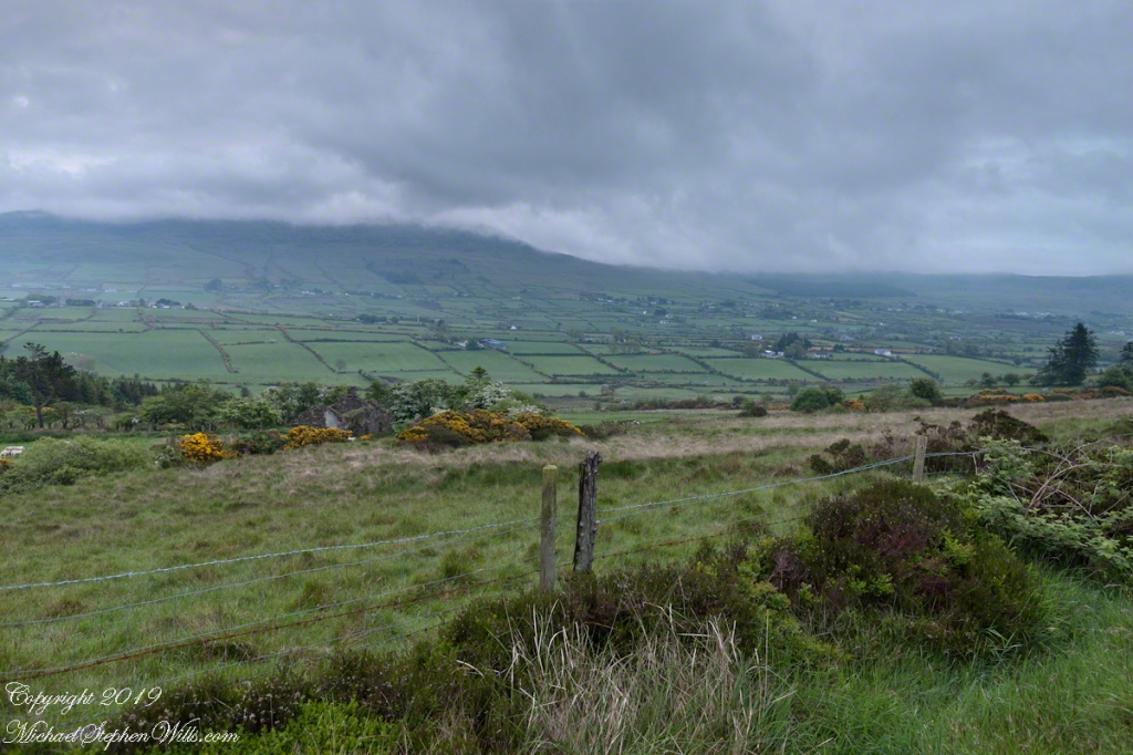
Here we look northeast from the Slievenaglogh Townland, the valley between Slieve Foy and Slievenaglogh peaks.
The view includes Little River, Ballycoly Townland and Castletown River.
Adjacent is a sheep pasture with a farm ruin behind the yellow flowered gorse (whin bush, scientific name Ulex).
Slieve Foy is the far ridge lost in clouds. Early morning, late May 2014.
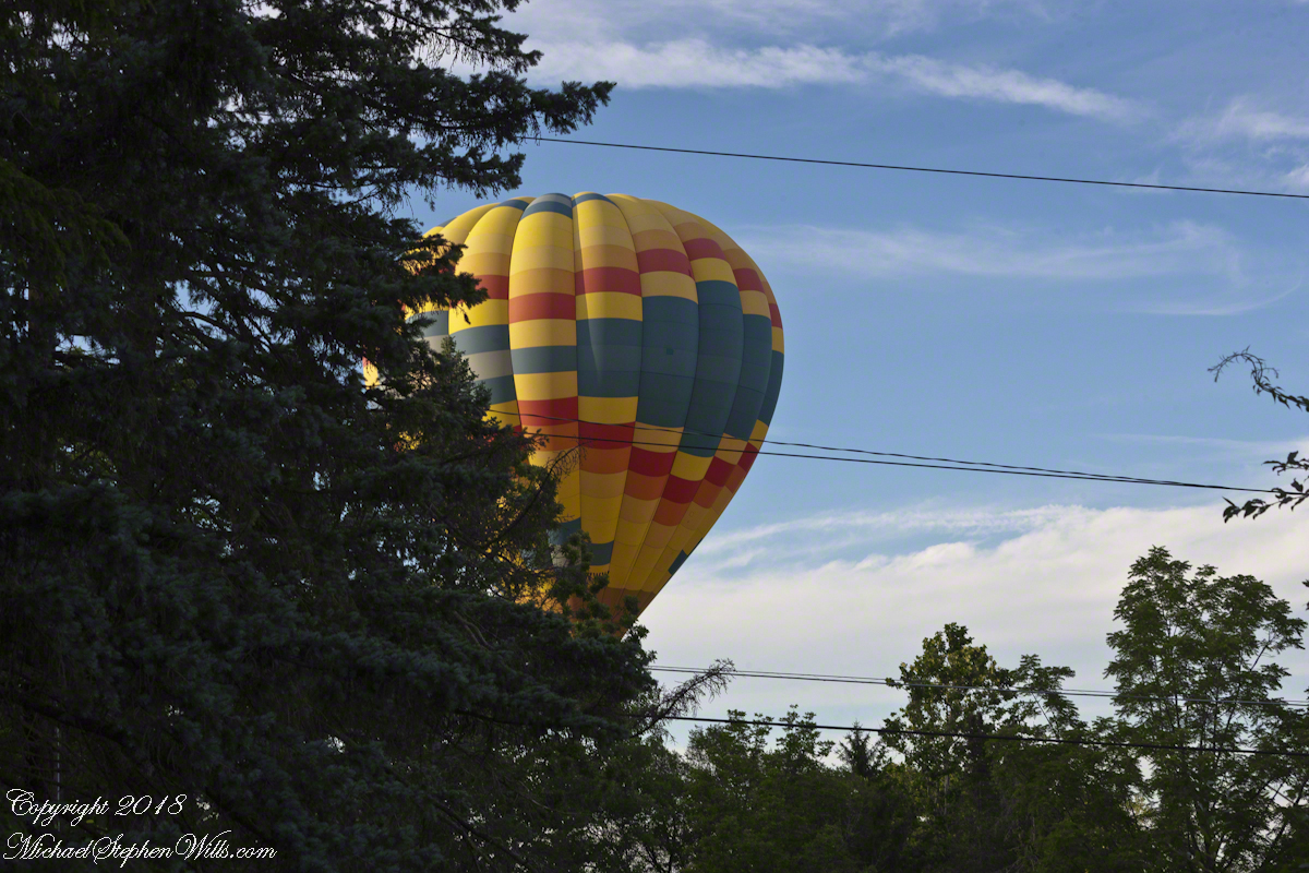
Whoosh….whoosh. Taking out the garbage Monday evening, July 15th, 2019 I heard the unmistakable sound of a liquid propane burner. As the propane is gasified and ignited, the flame and exhaust are directed into the balloon, all under control of the human operator. What a sound!!
These past years, hot air balloons started launching from West Hill and, when the breeze (balloons never launch in winds, as far as I know) is right the balloon and gondola full of passengers drift in the direction of our home. More than one time, directly overhead, I estimate 200 feet away. We could clearly see and converse with the passengers. What fun.
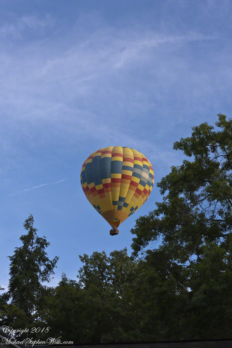
Each previous viewing I regretted not filming the balloon as the vision floated away. Last Monday, I dropped everything (not literally, I did leave the garbage in the bin), mounted the Canon lens EF 70-300mm f/4-5.6L IS USM on a EOS 1Ds Mark III body, returning to the north side of our property as the balloon emerged from the trees, only the envelope visible.
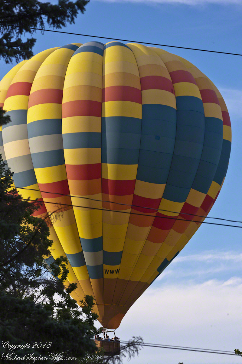
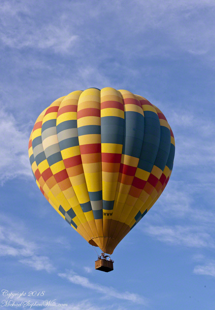
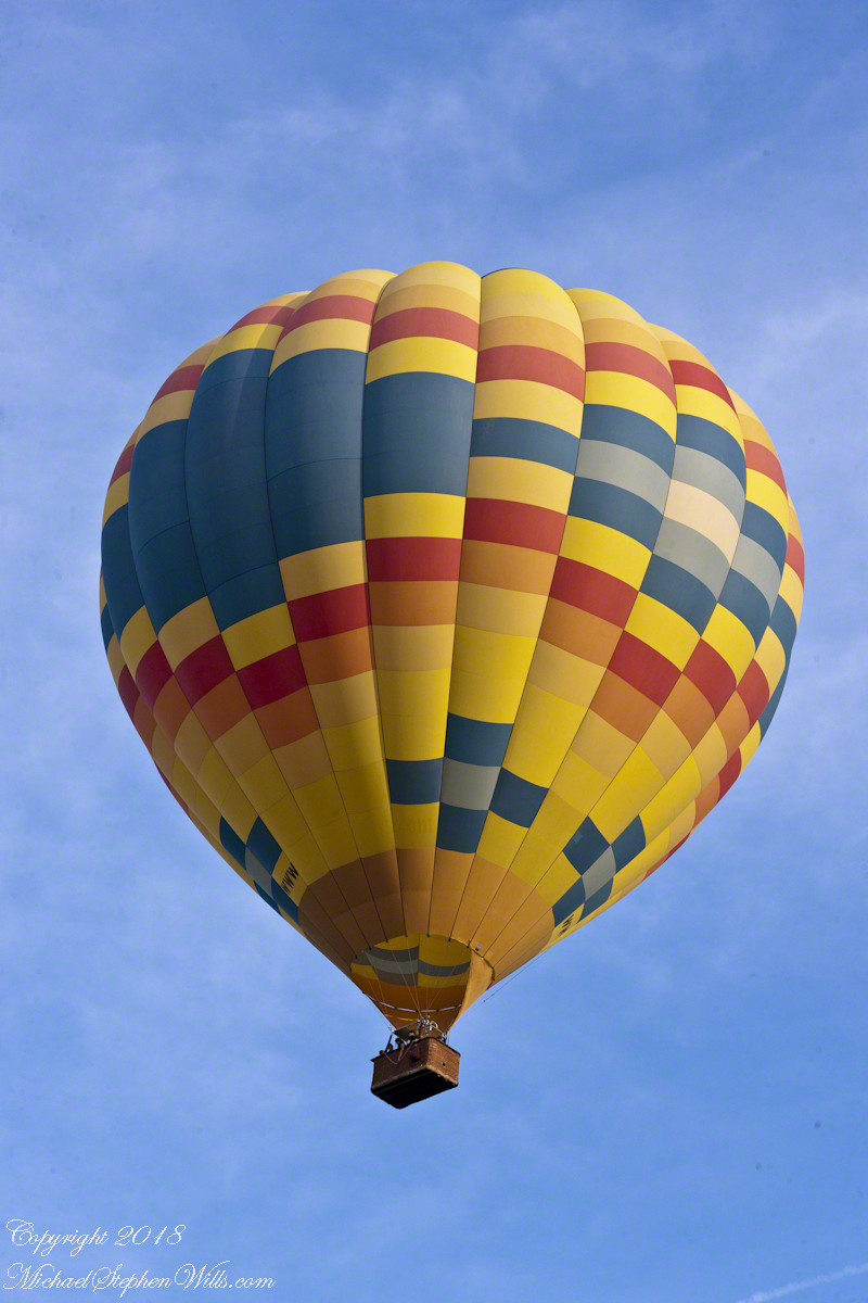
We have enjoyed this balloon before, the envelope pattern evokes a classic Navajo Rug, the colors really pop against the blue sky.
Why the Whooooosh?
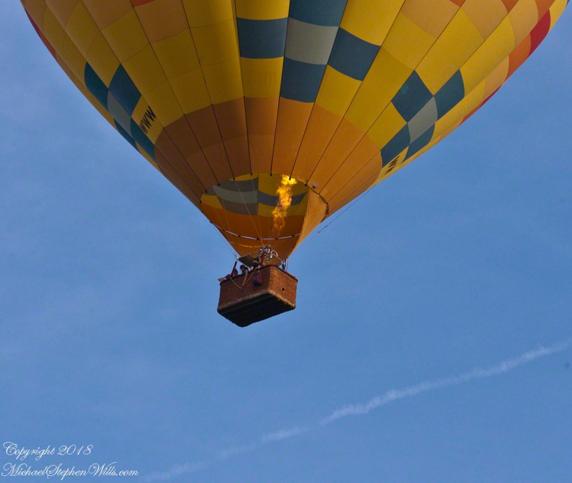
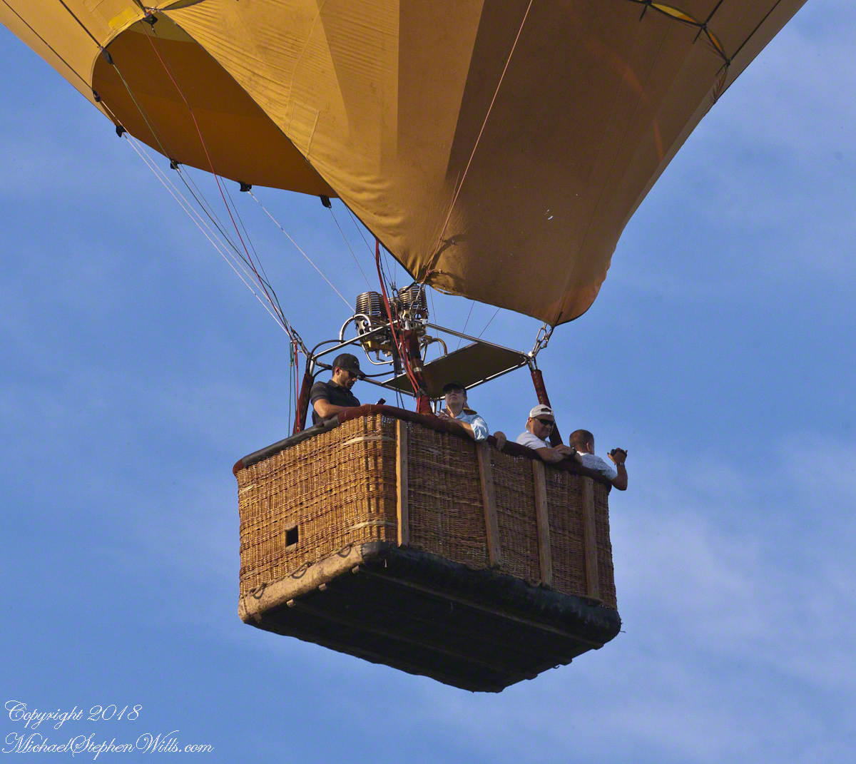
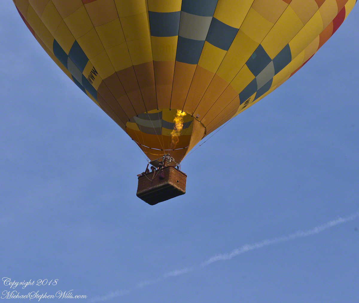
Tourists and local residents pay $230 per person for the experience of floating silently over Finger Lakes landscape with a launch from Trumansburg, ending up over Ithaca, in its valley surrounded by hills. Cayuga Lake is visible the entire flight, to the east, then northeast as the path reaches Ithaca. As they approached the balloon elevation was not so high relative to our home. You can see this clearly in the first photograph. With the zoom on 300 mm I was almost able to look into the basket, each of the four riders (the operation, looking at a cell phone, and three passengers) was recognizable.
There are three propane burners, two in front and the edge of a third just visible between the front pair.
Ethereal silence and reveres are broken when the burner lights up. Here it appears only one burner is running, sending the craft high above us.
Seven of the forty images are shared here. The duration was three minutes. With a goal of capturing the action, I had the camera on burst mode, with the shutter pressed the exposures run serially, in close succession.
I perfected these seven photographs to represent the perfection of this colorful event as it passed from the northwest, disappearing in the tree line to the southeast.
I am listening for the next event, camera and lens ready.
Post script….it was my usual early morning blogging time when I heard the familiar Whooooosshh, whoooosssshhh, grabbed my IPhone for a video and captured the following. You will hear the gondola occupants chatting. The burner was turned on at 1:03 when the balloon was fairly distant. The Whoooosssshhhh is low, but audible.
Today, they were headed North/Northwest in the opposite direction from Monday and are backlit. Enjoy!!
Copyright 2022 Michael Stephen Wills All Rights Reserved