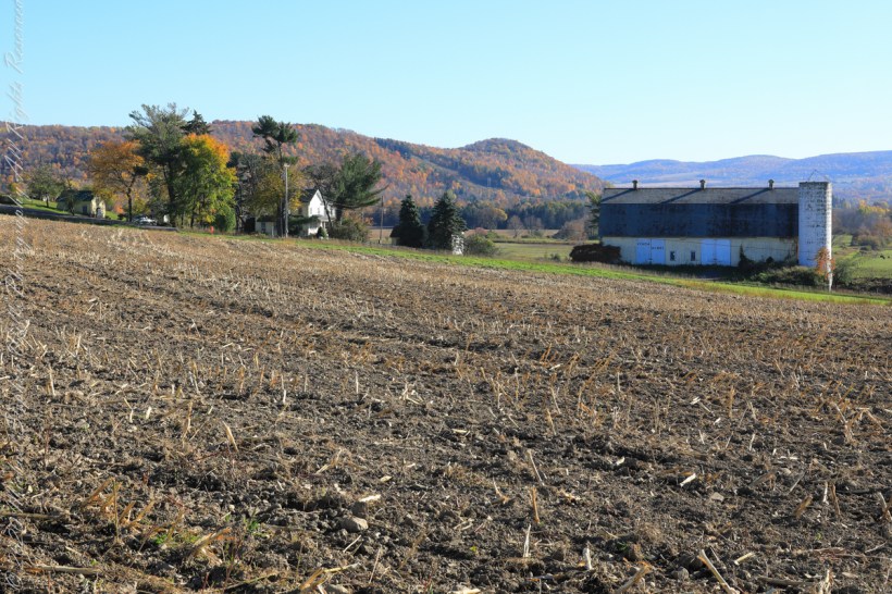
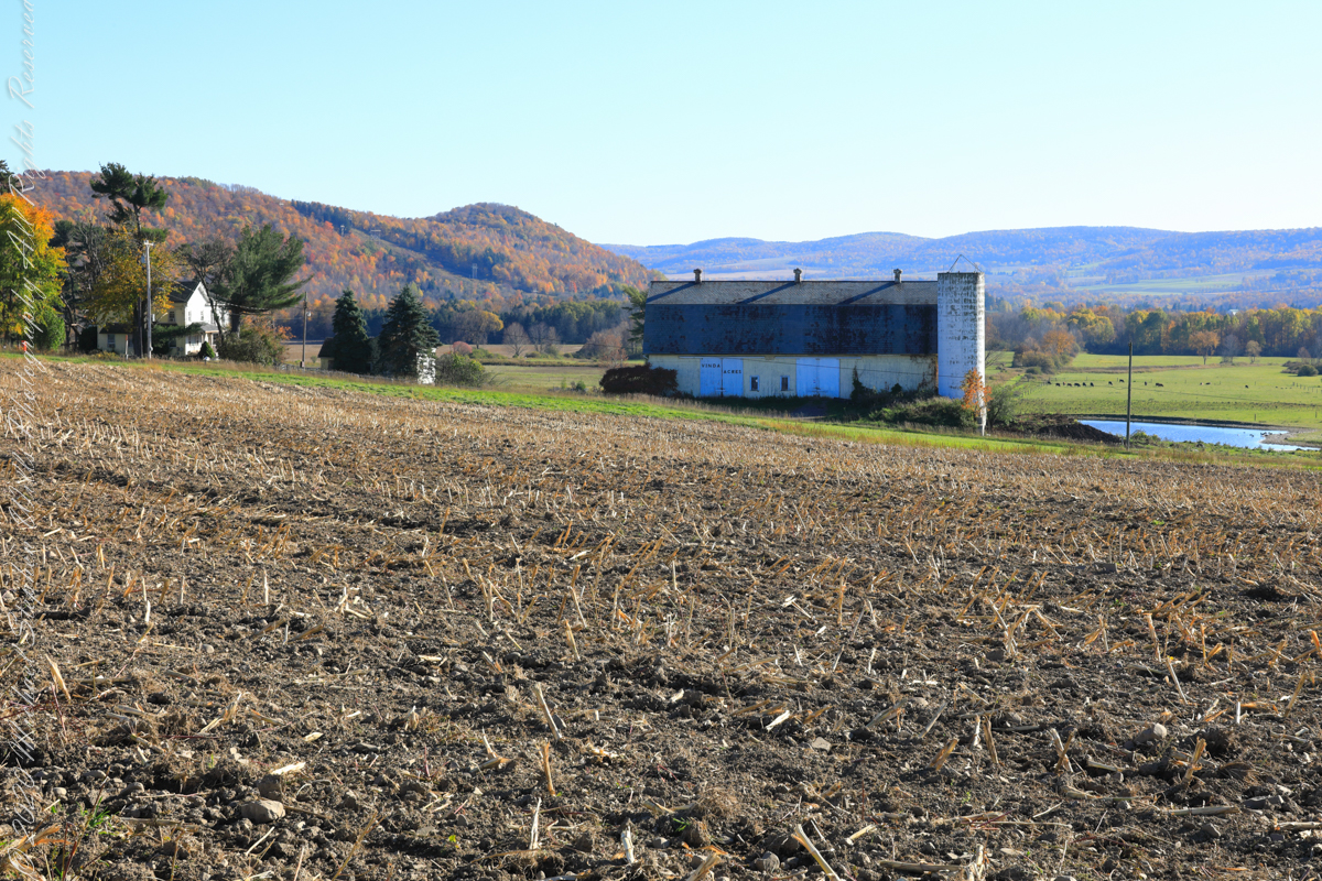
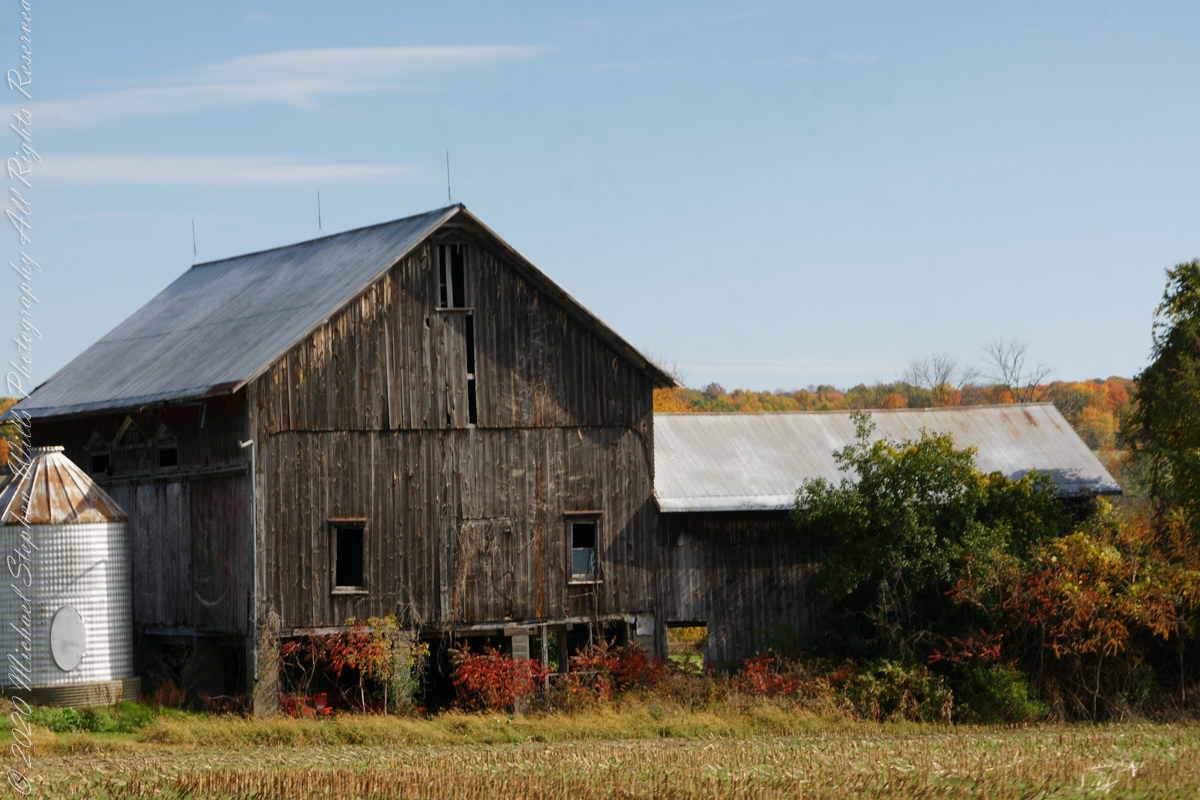
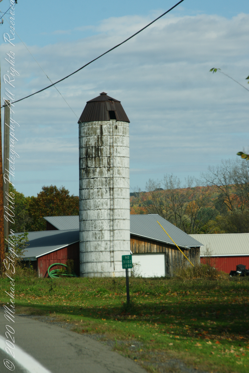
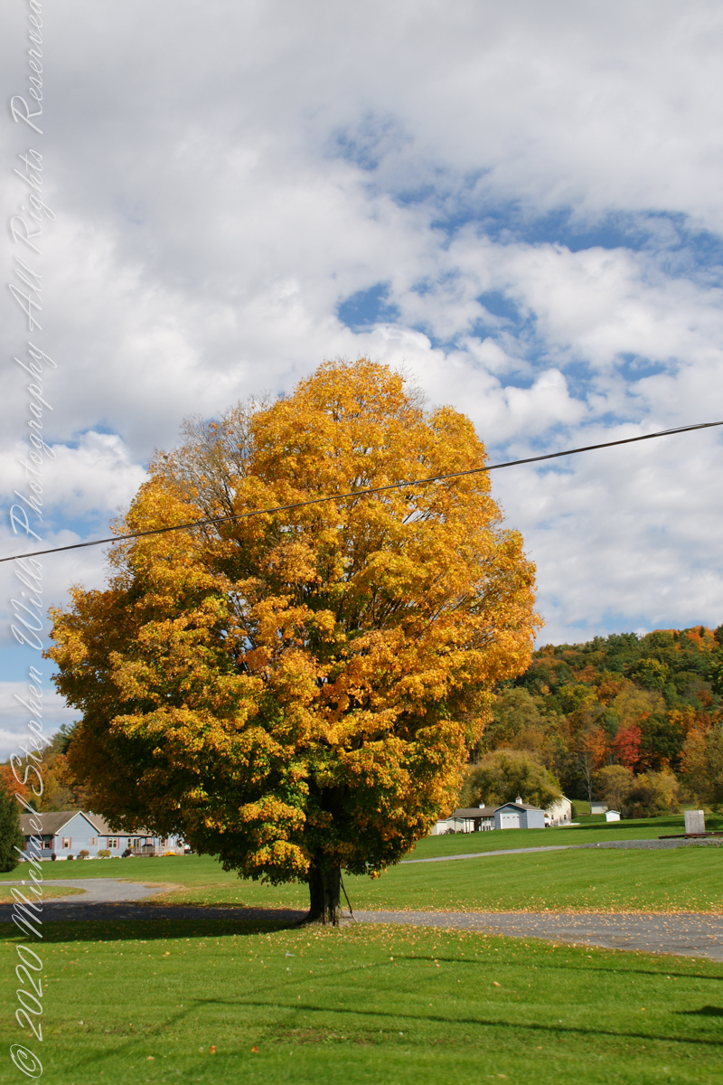
Carpenter Hill from Virgil Road, Route 392, looking across cornstalk stubble and McClintock Road, a faded yellow barn with “Vinda Acres” written on the doors.
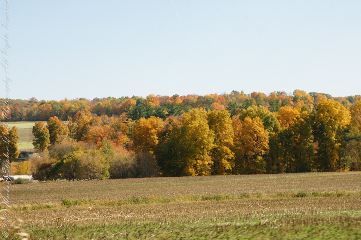
The hill is clearly a drumlin. A drumlin, from the Irish word droimnín (“littlest ridge”), first recorded in 1833, is an elongated hill in the shape of an inverted spoon or half-buried egg formed by glacial ice acting on underlying unconsolidated till or ground moraine.
Distant ridges on the right include Hammond Hill. The road to Virgil above the town of Dryden, Tompkins County, New York.
Copyright 2022 Michael Stephen Wills All Rights Reserved
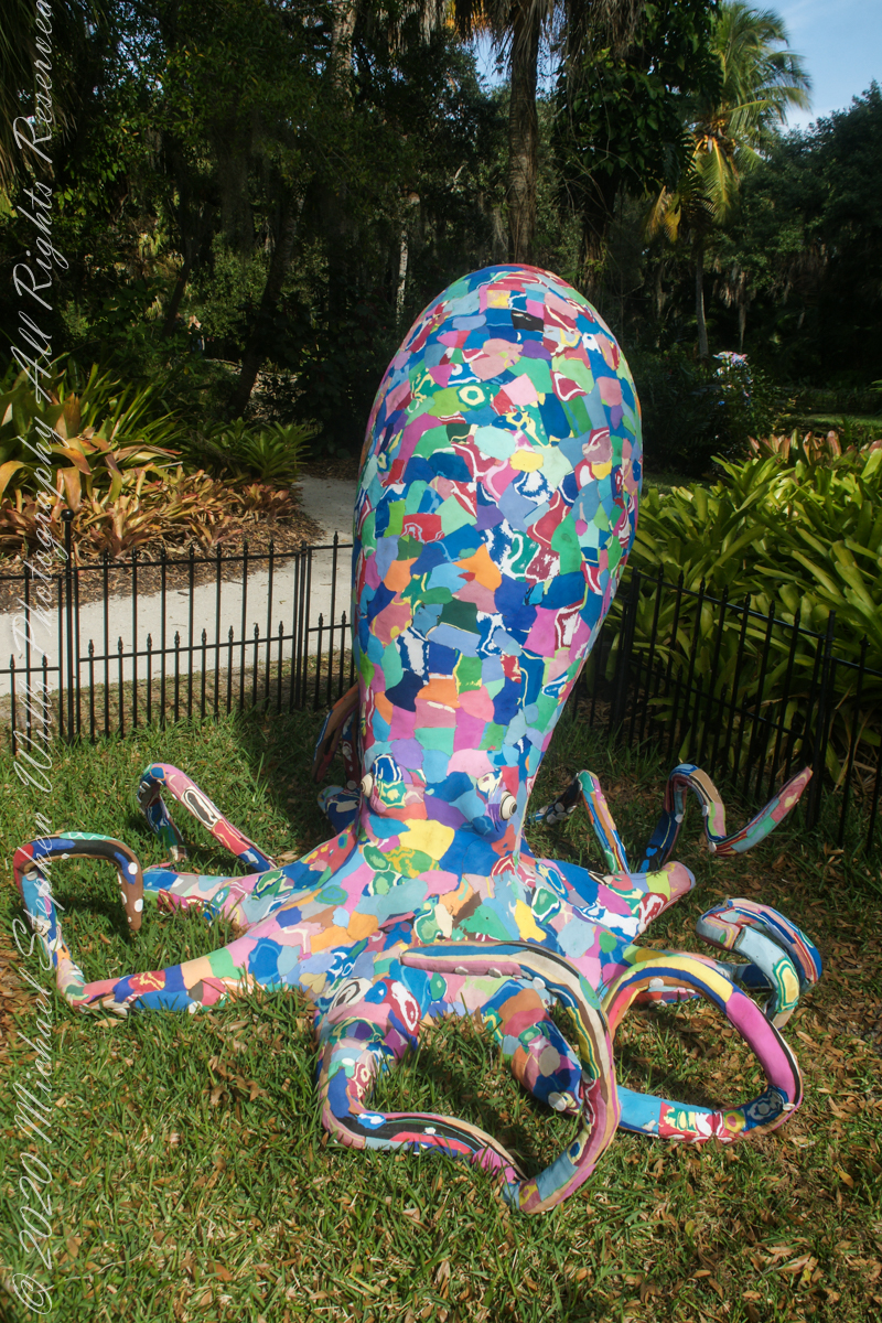
This common octopus (Octopus vulgaris) specimen was created by artists of Ocean Sole Africa. 890 recycled flip flops were used in this sculpture. from a 2019 exhibit hosted by McKee Botanical Gardens, Vero Beach, Indian River County, Florida.
Octopuses are adaptable and intelligent 8-limbed creatures known live in and around ocean reefs, deep ocean and intertidal zones. Invertebrate, without a skeleton an octopus can hide in tight spaces. Maneuvering and hunting, each tentacle is lined with suckers that grab rocks and prey. Existing solely on meat, these carnivores prey on crabs and shellfish, finding them with sharp binocular eyesight and devouring with a sharp parrot-like beak. Their defenses include camouflage, changing skin color to made surroundings, ejection of thick black ink to distract a predator and escape. A last line of defense is sacrificing an arm that can grow back over time. These blue-blooded aristocrats have three hearts!
Copyright 2022 Michael Stephen WillsAll Rights Reserved
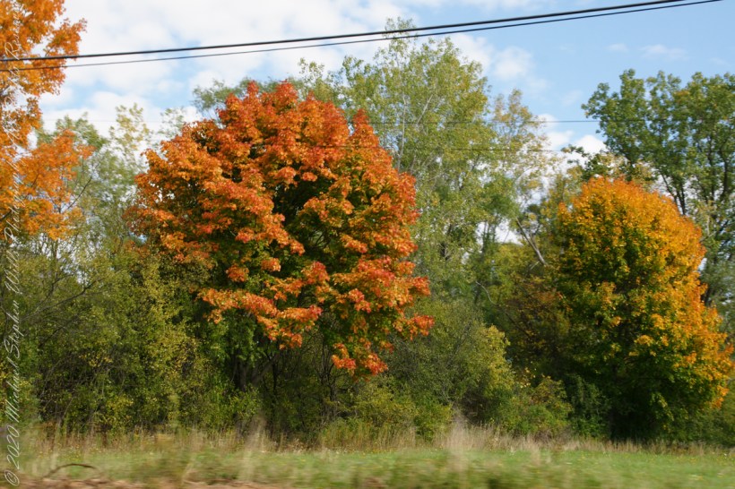
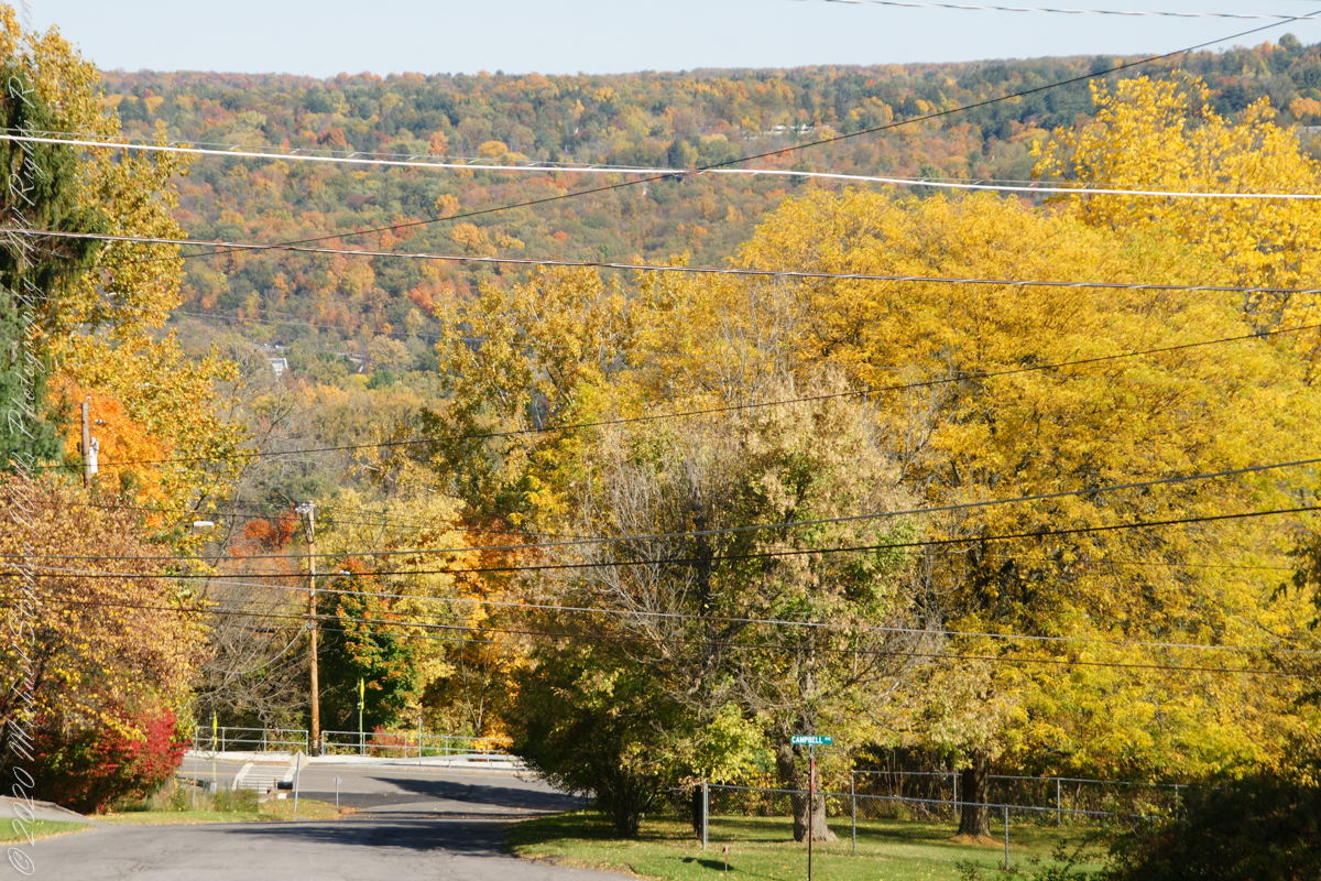
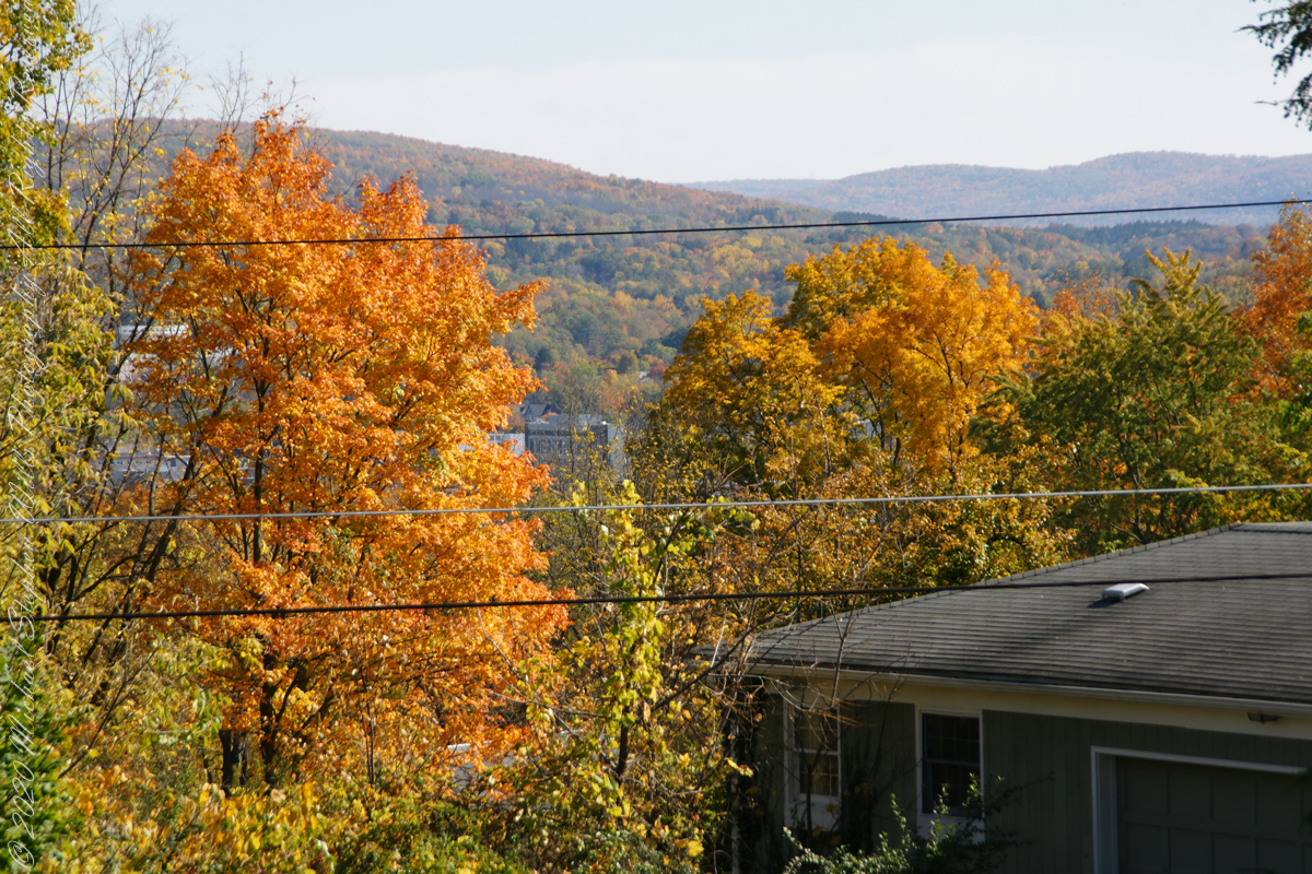
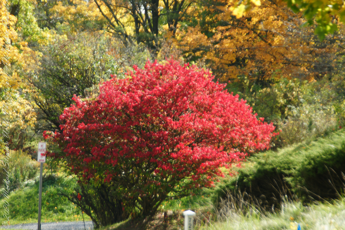
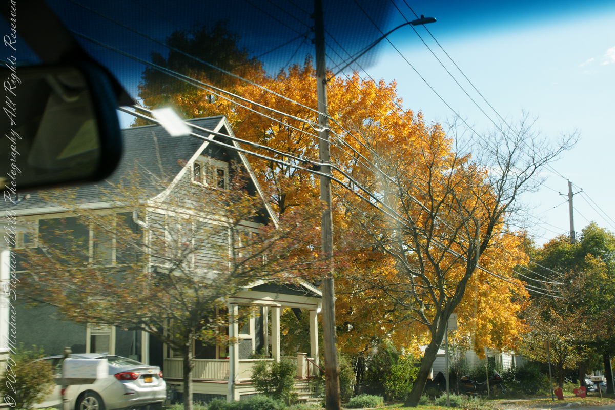
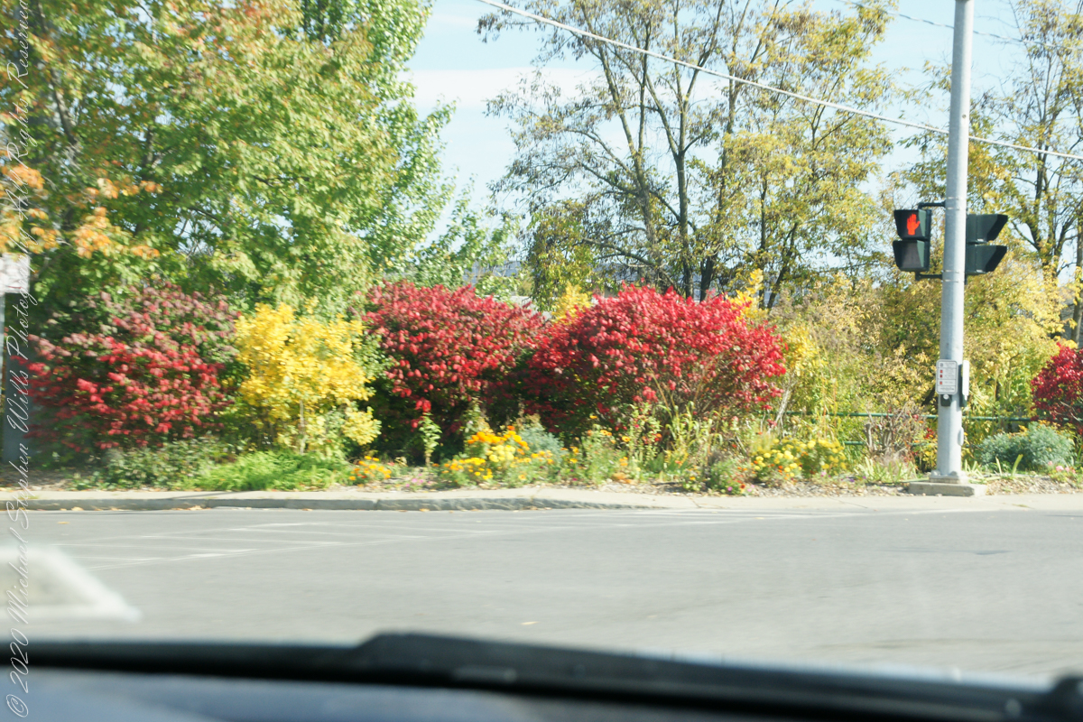
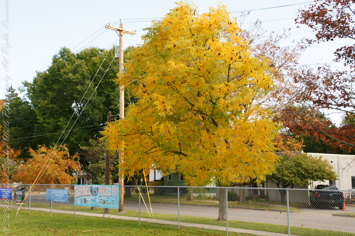
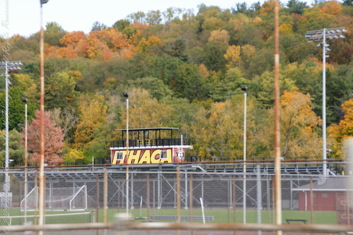
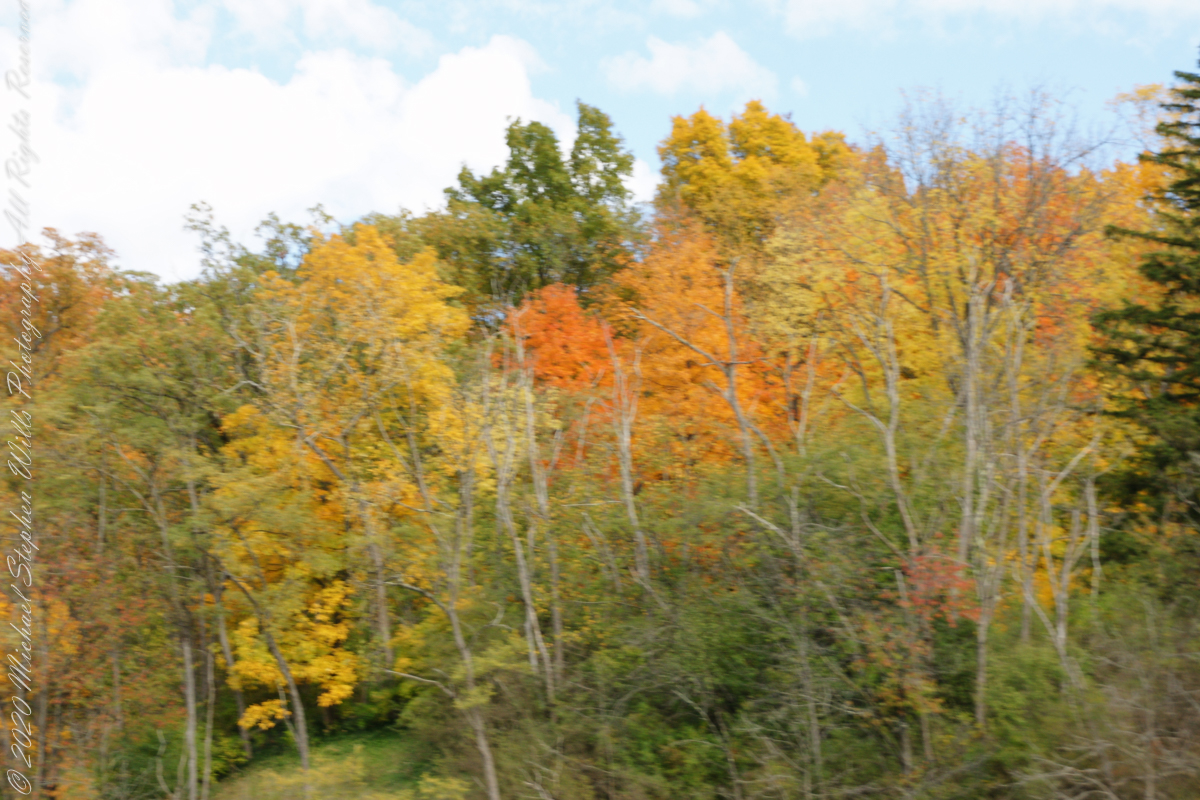
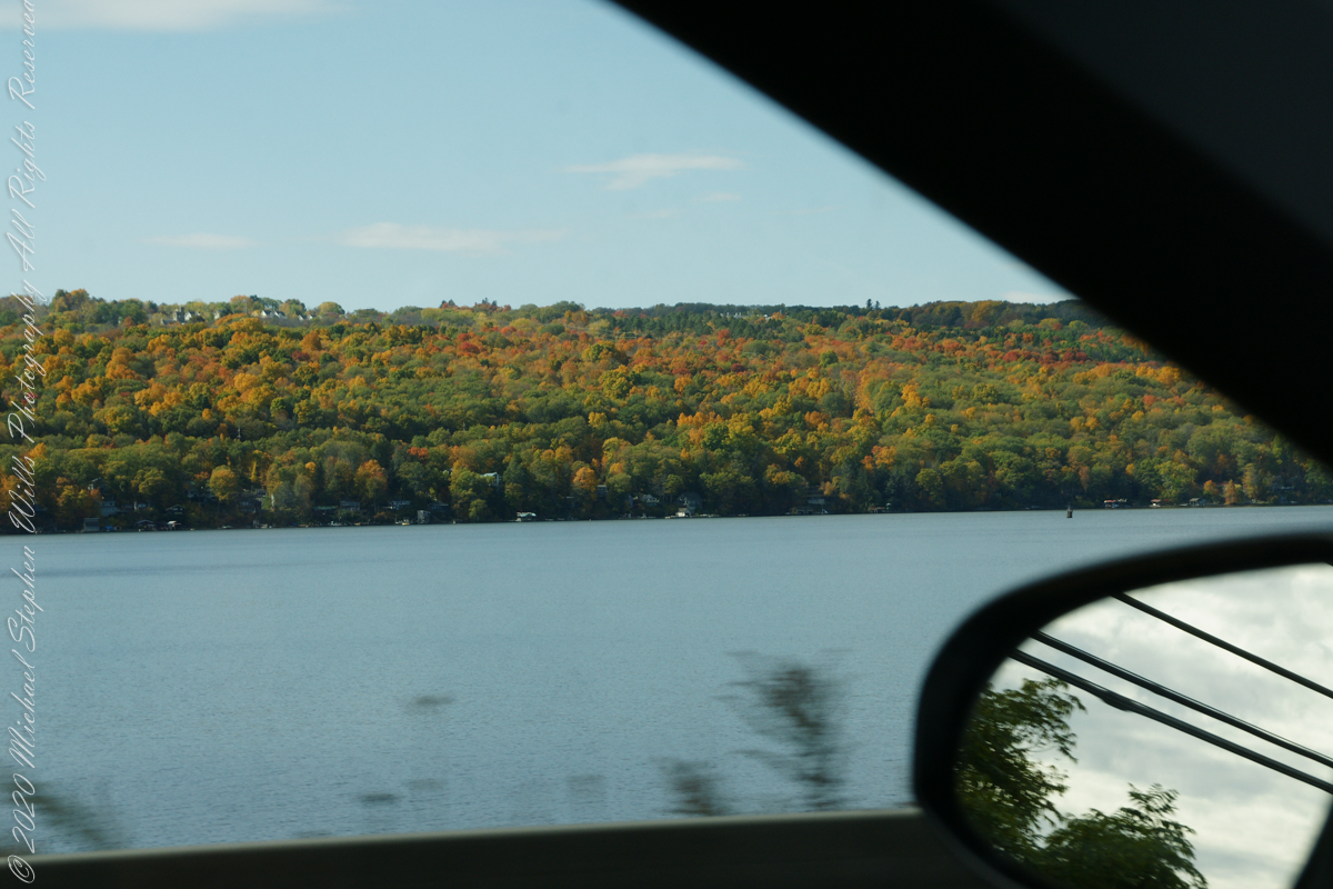
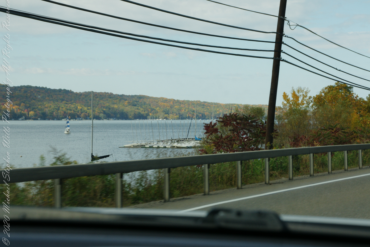
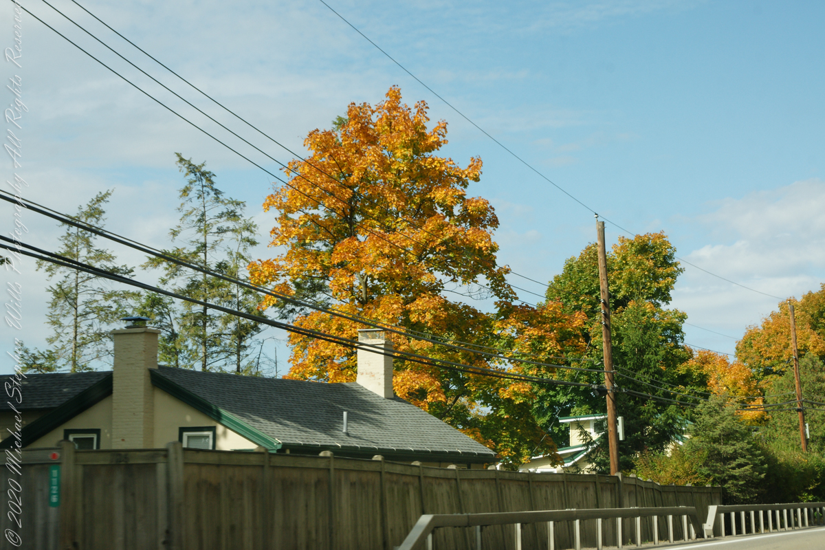
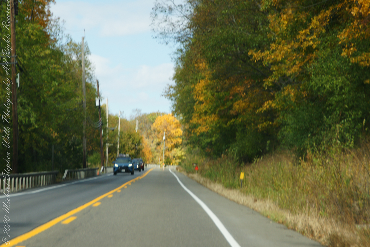
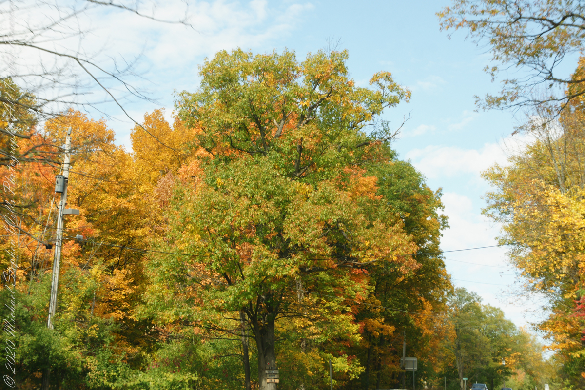
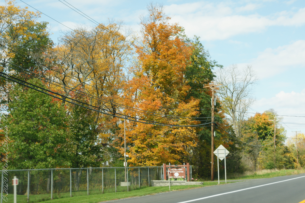
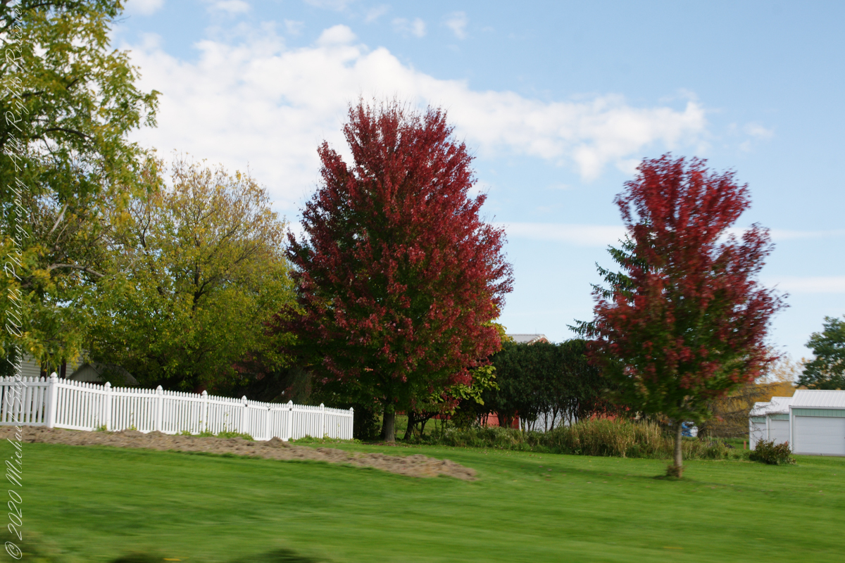
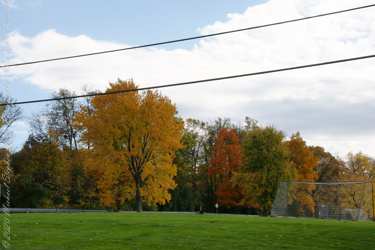
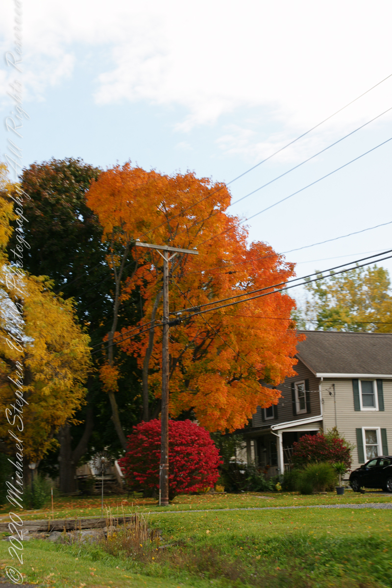
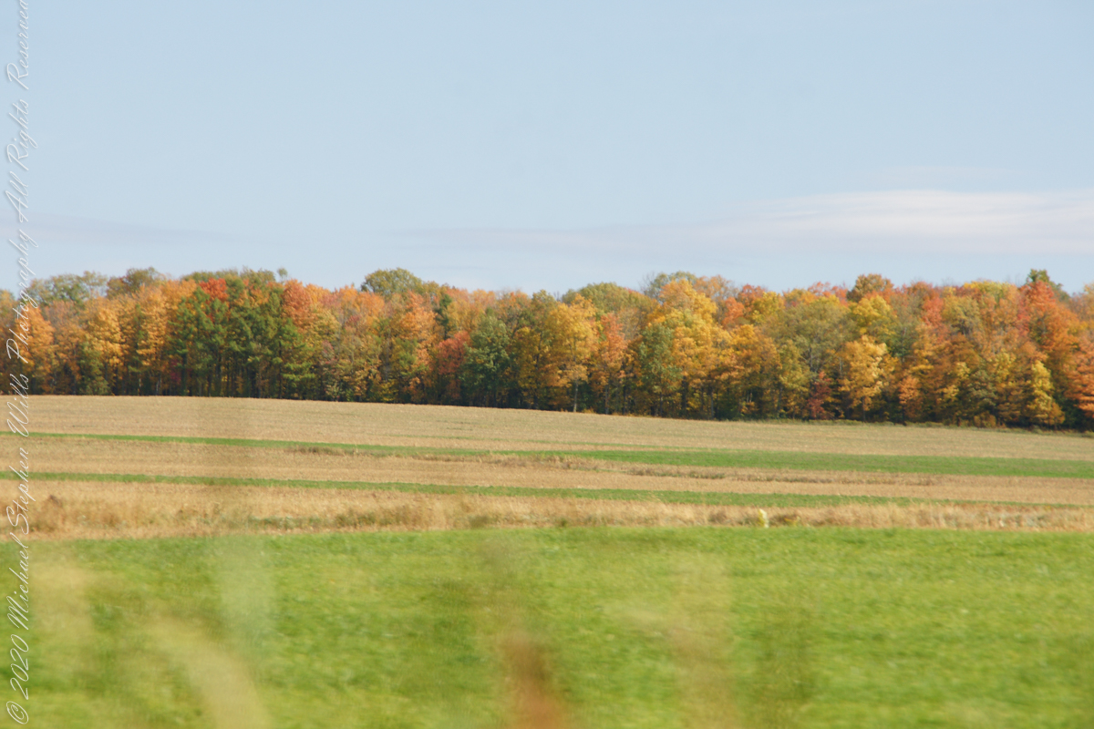
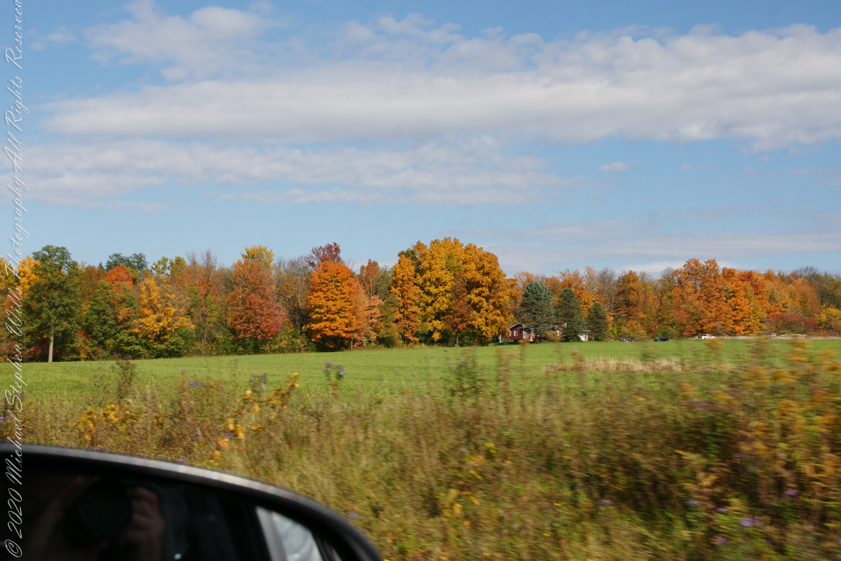
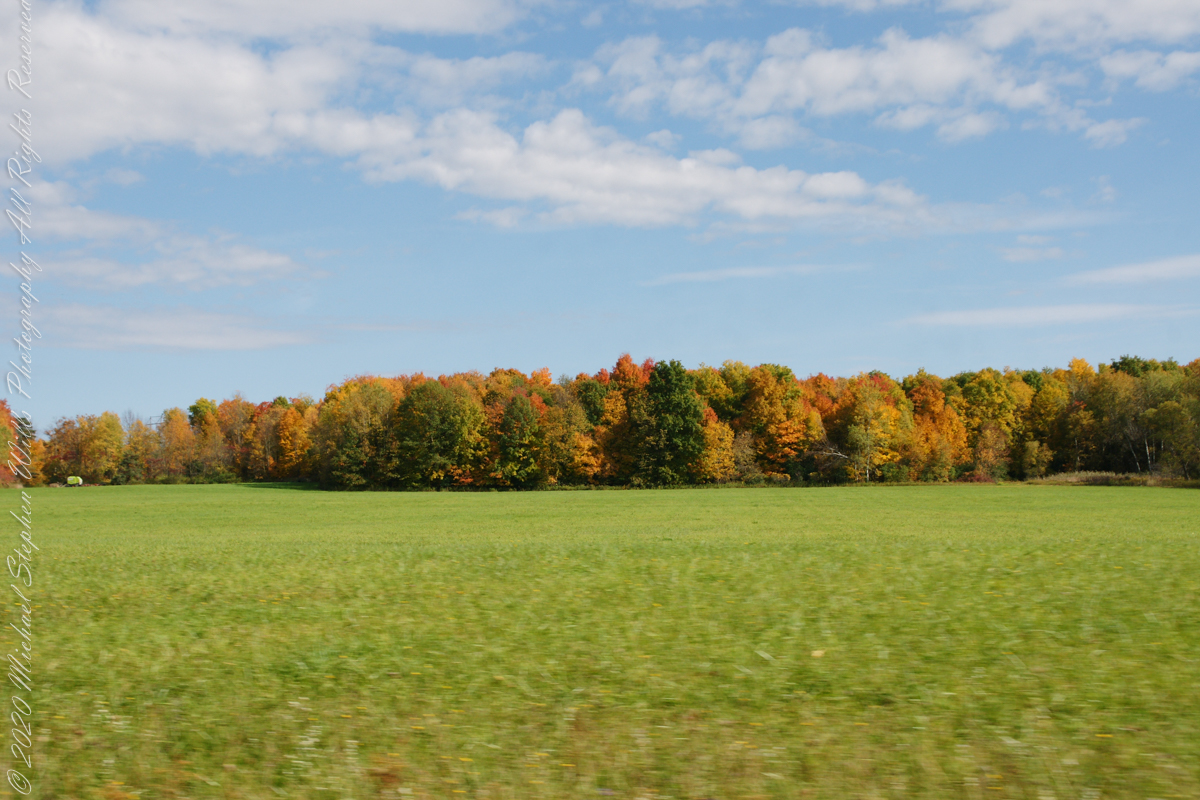
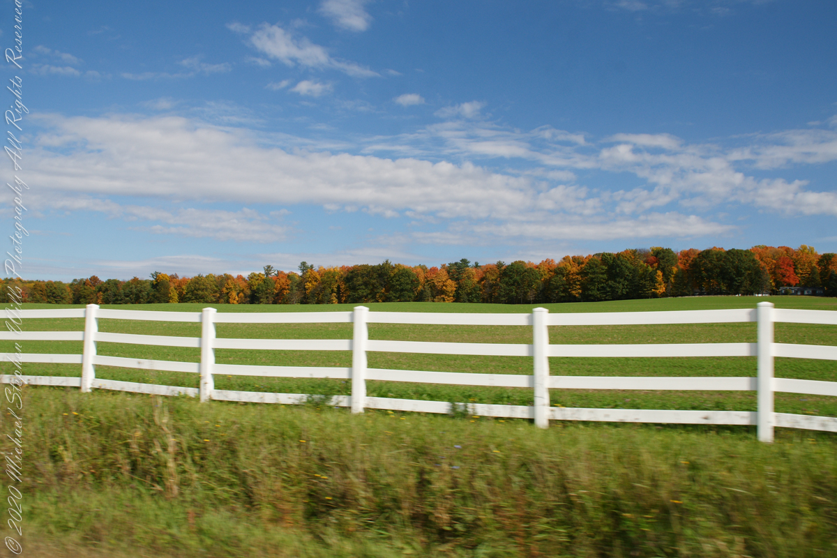
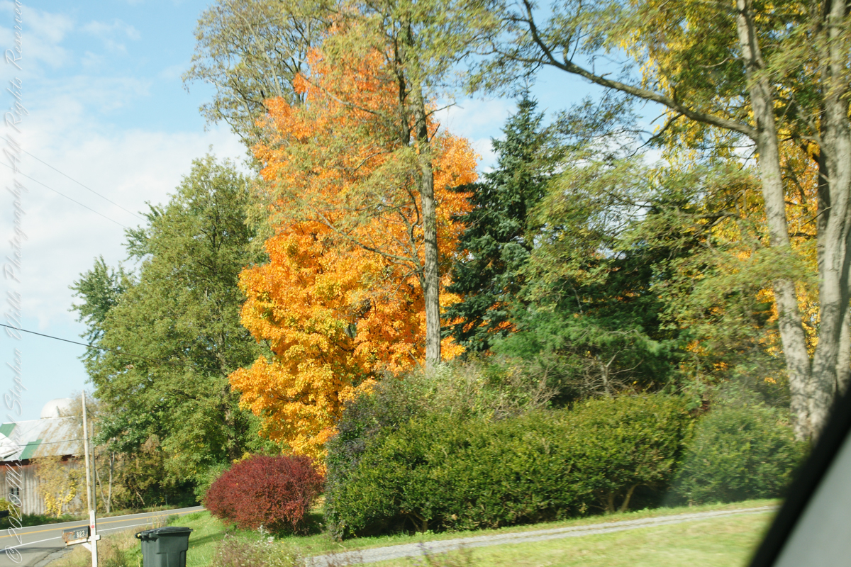
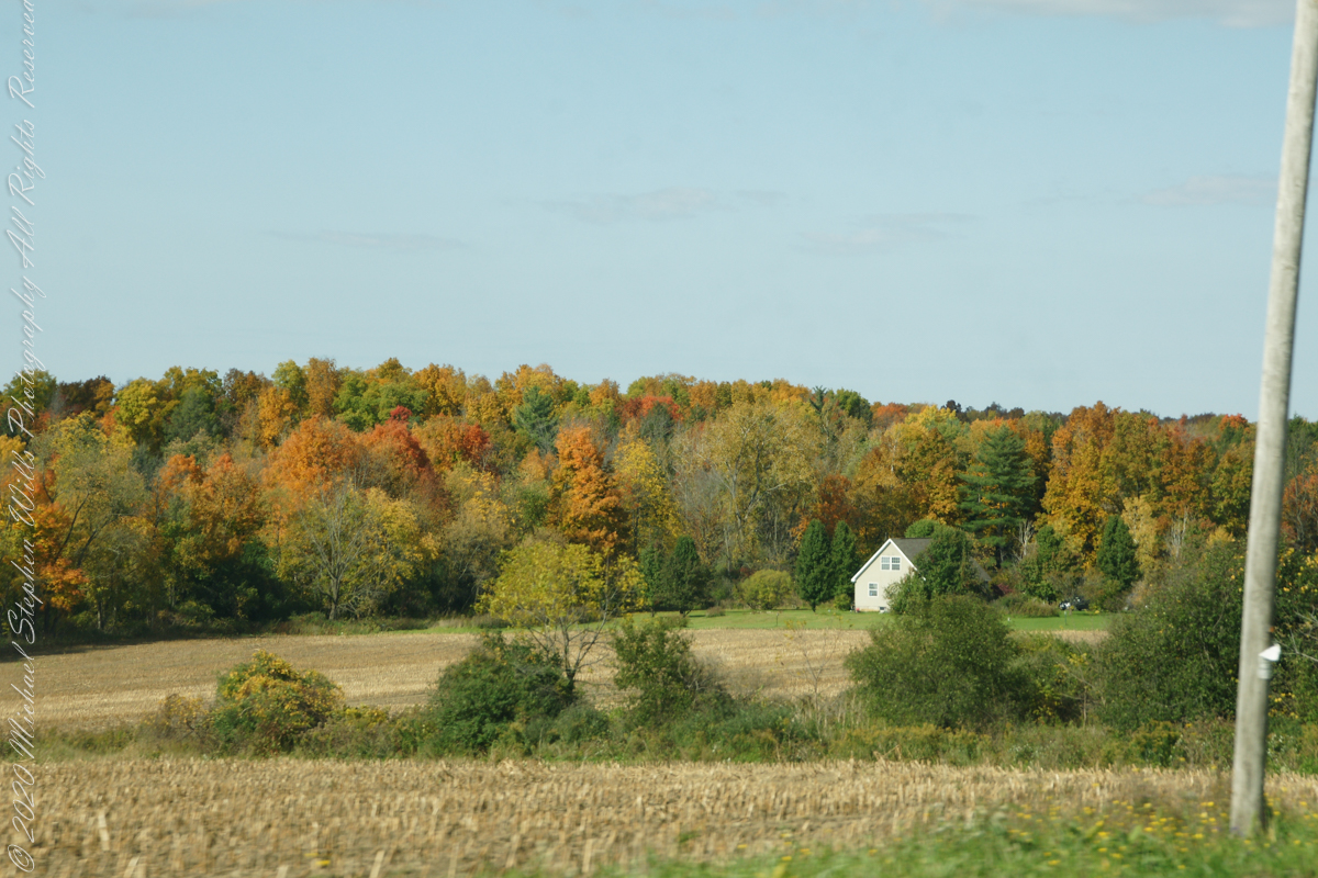
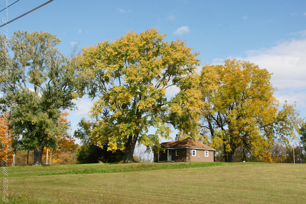
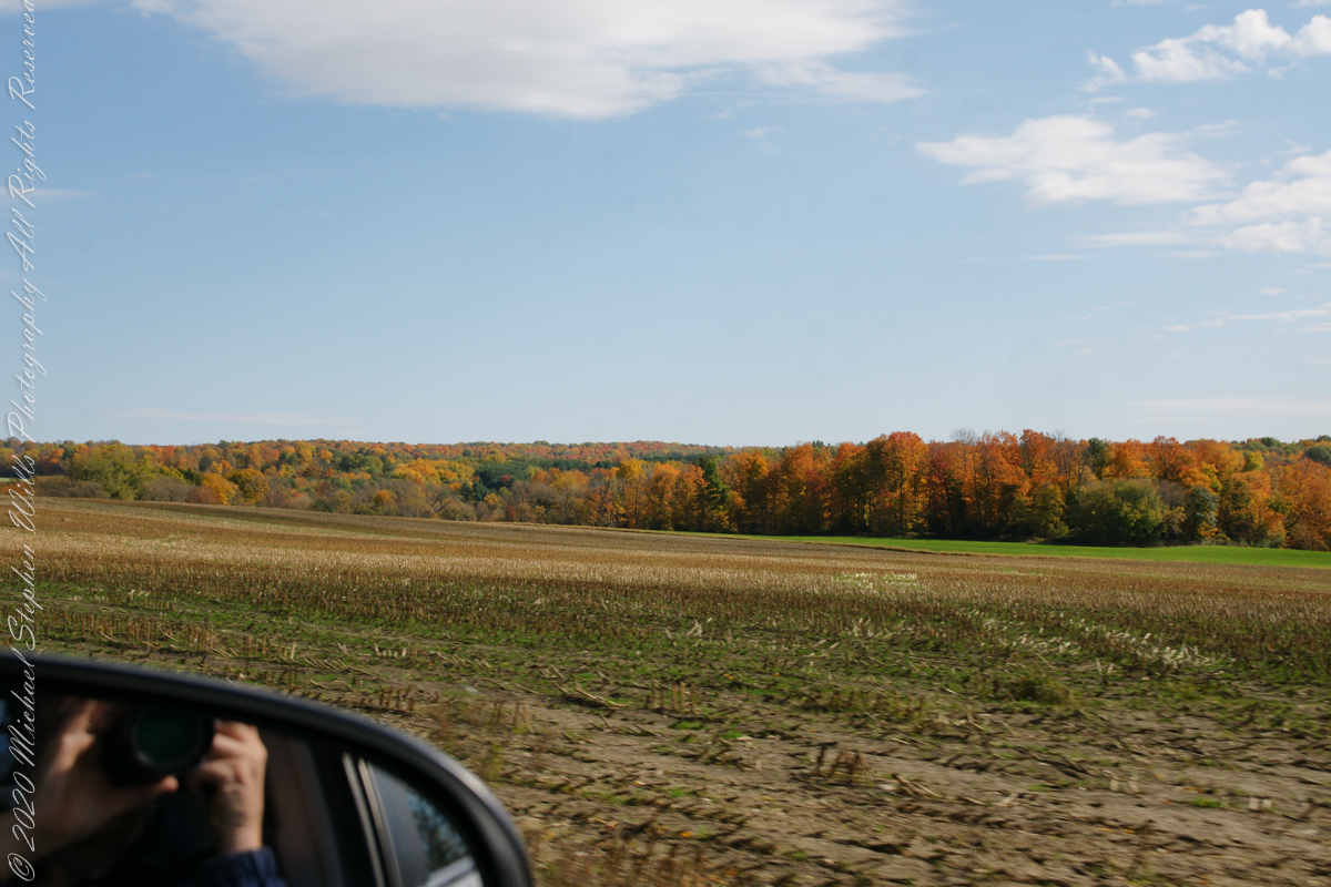
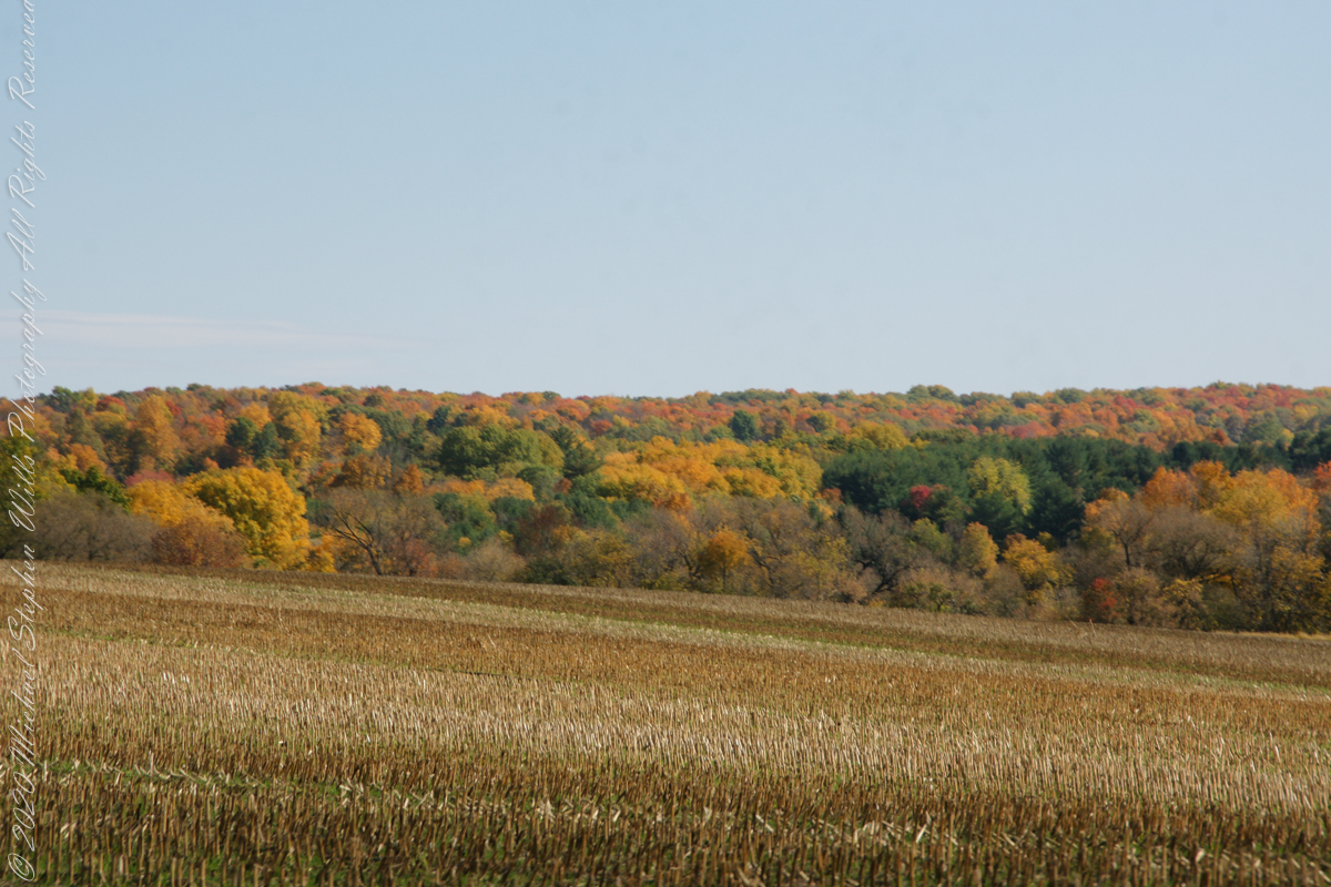
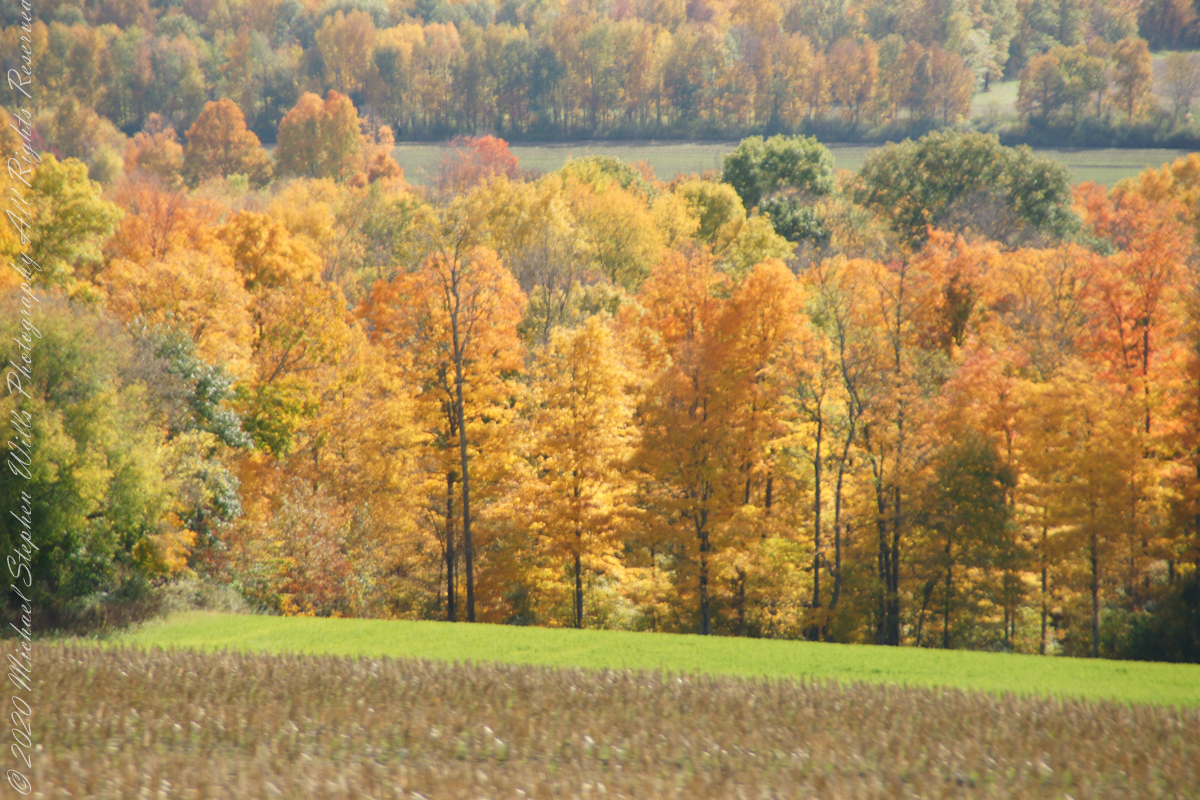
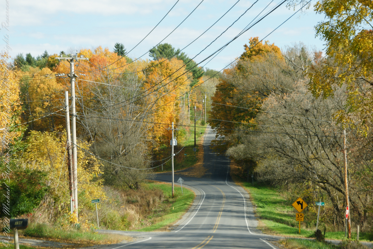
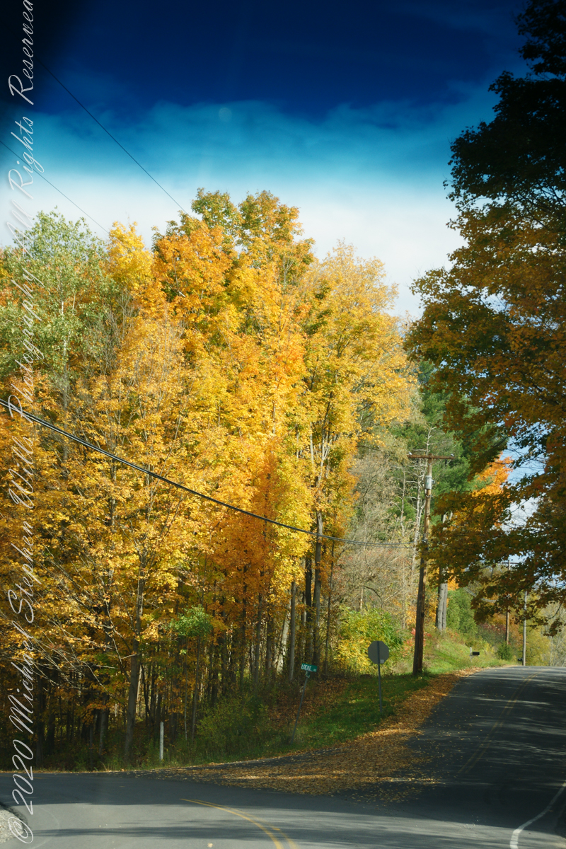
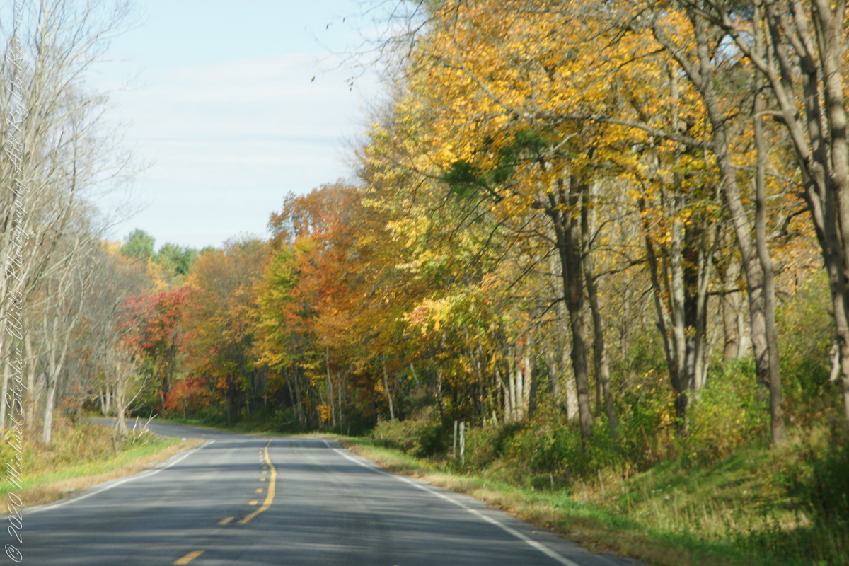
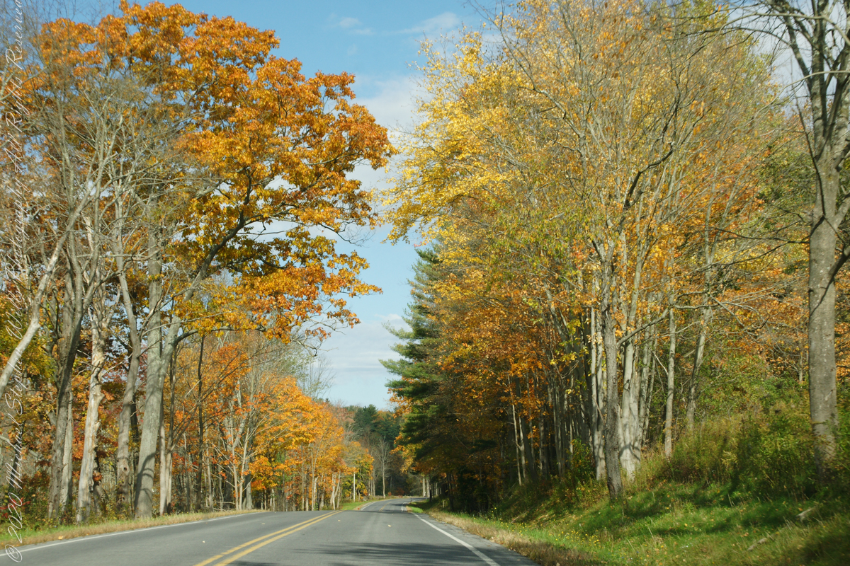
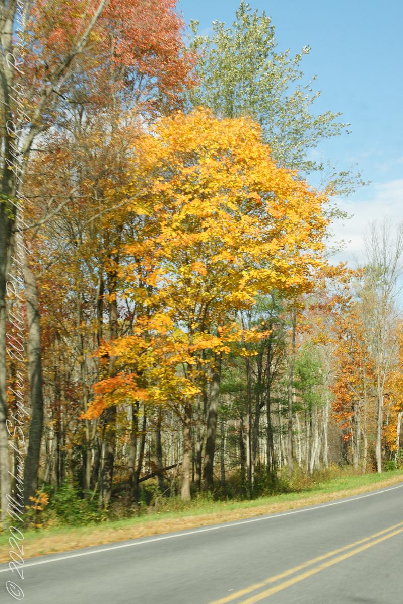
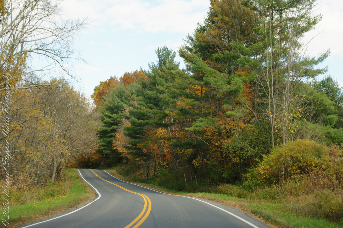
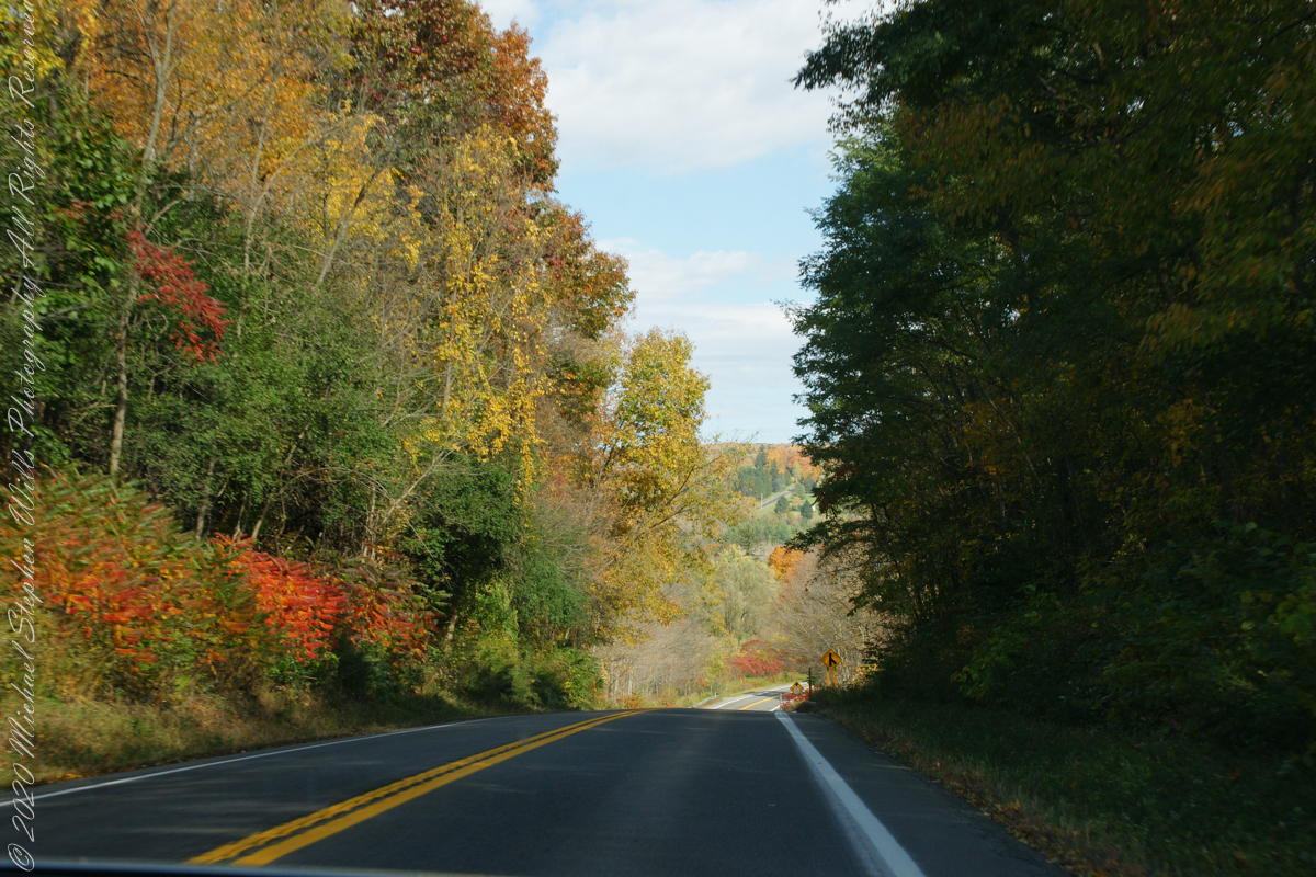
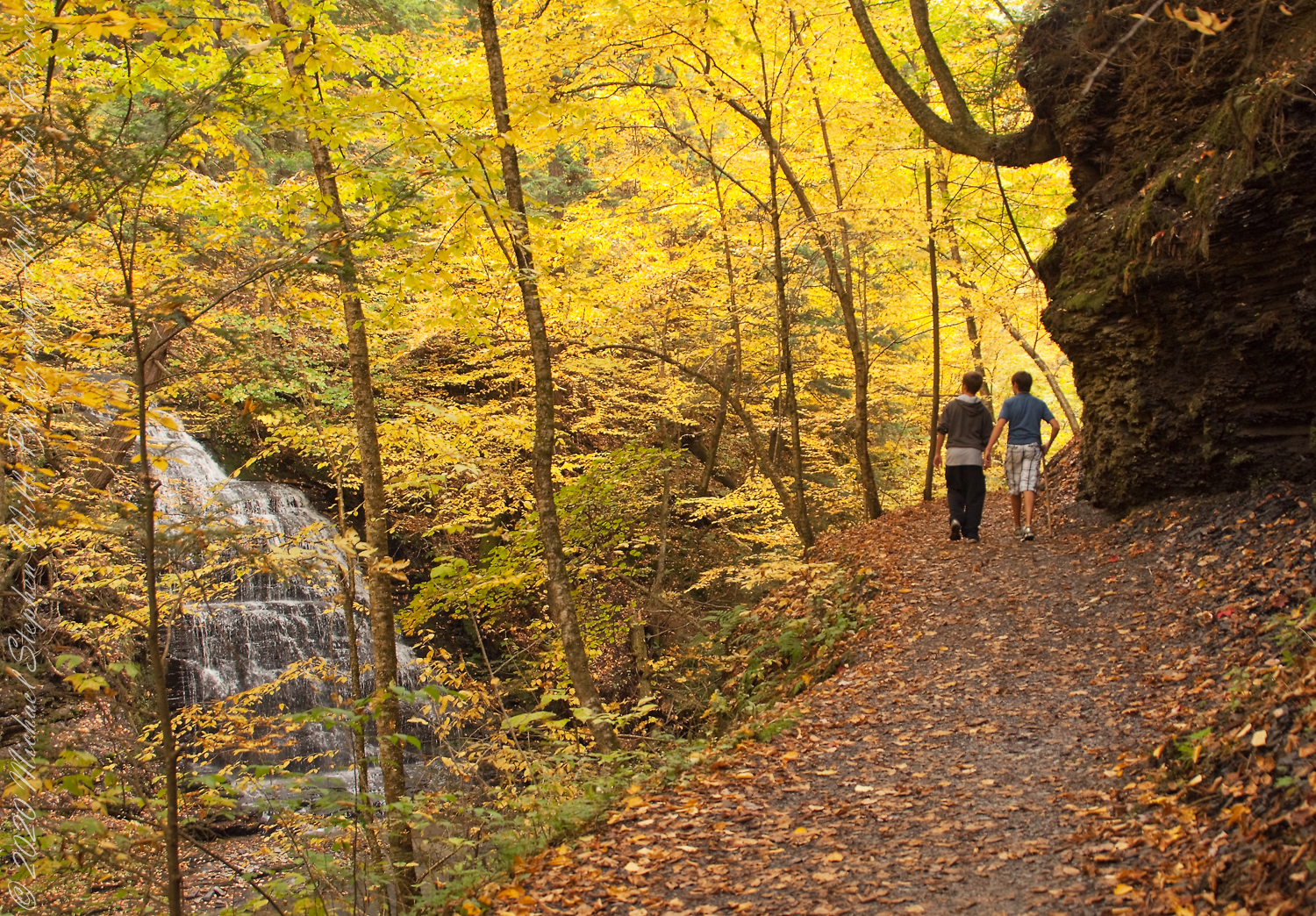
My Sony Alpha captured our October 16 drive to Fillmore Glen. As we traversed landscapes, the spectacle of Tompkins and Cayuga Counties autumn glory passed by the open passenger side window and, even, the front windshield. Thank You, Pam, for driving.
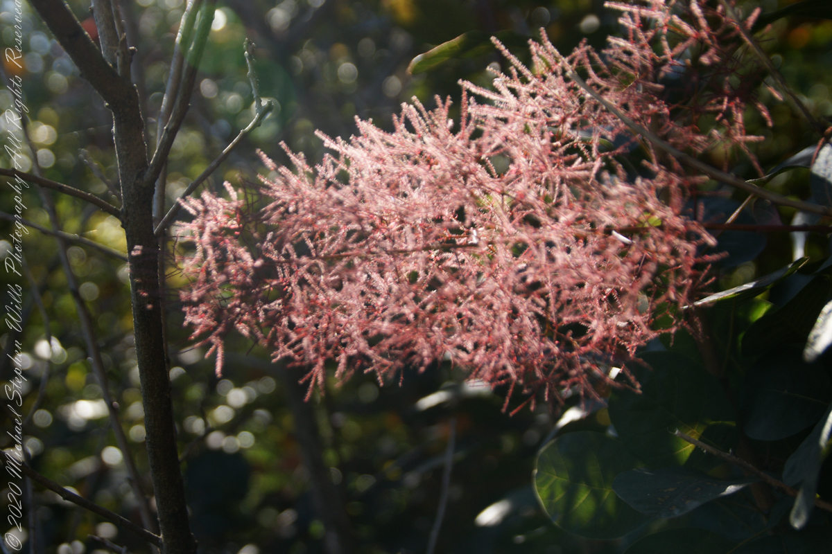
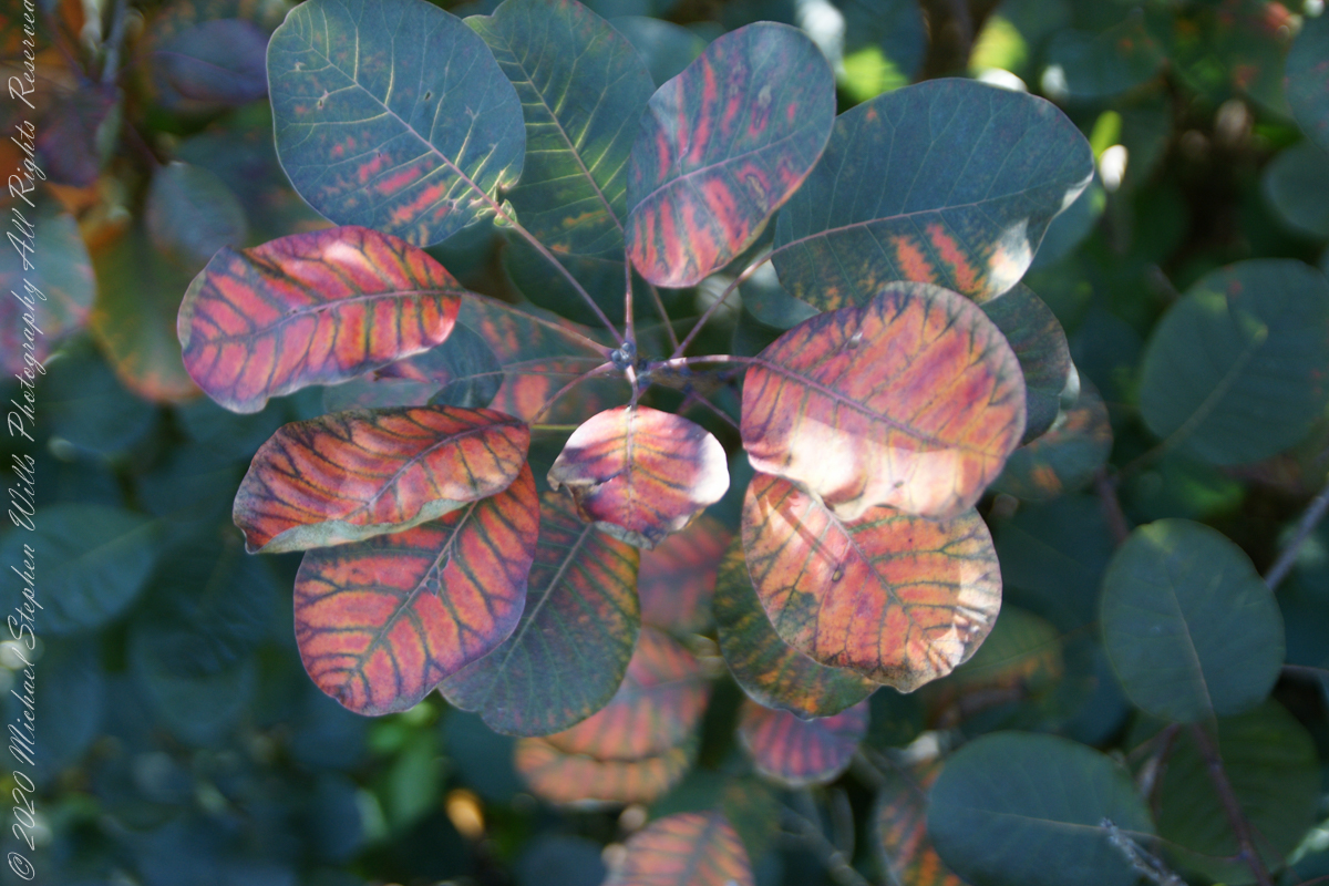
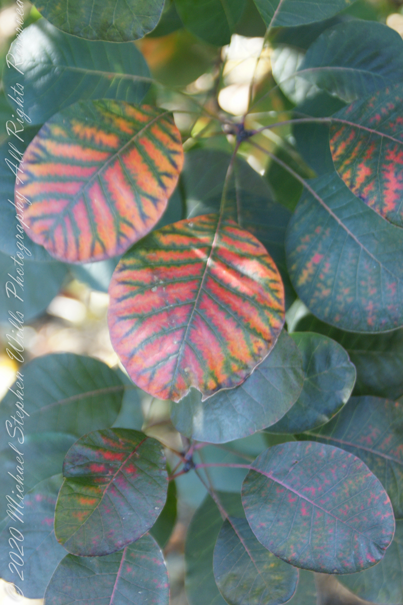
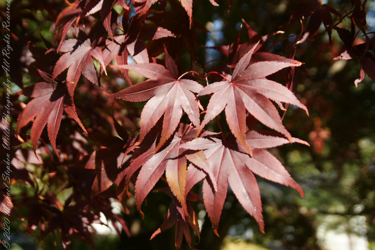
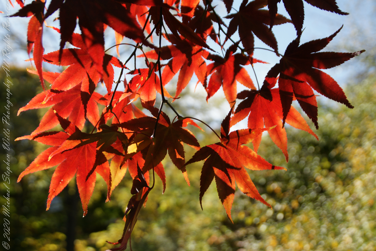
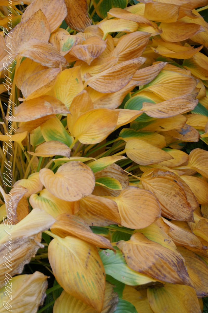
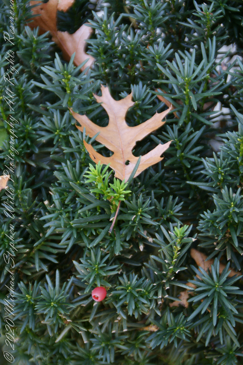
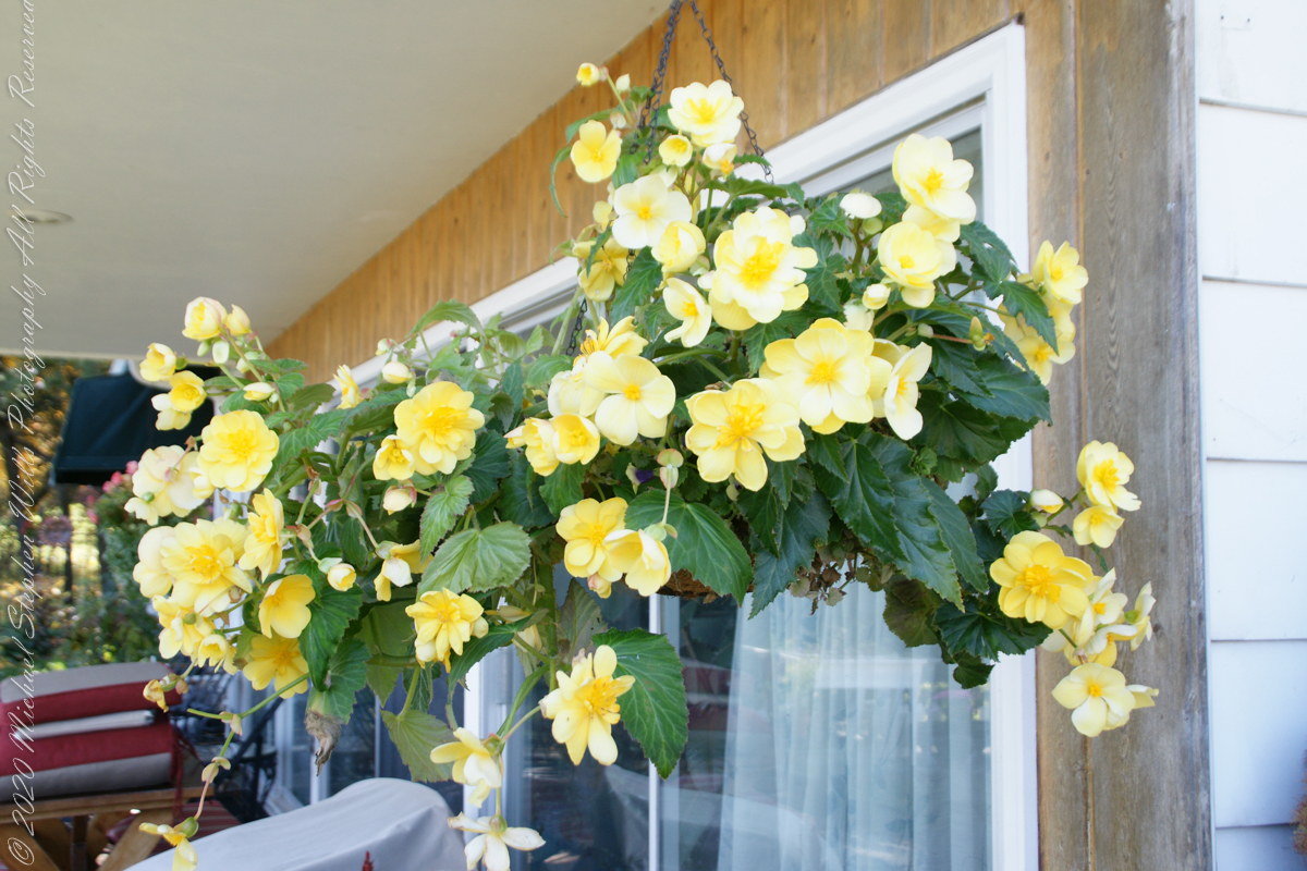
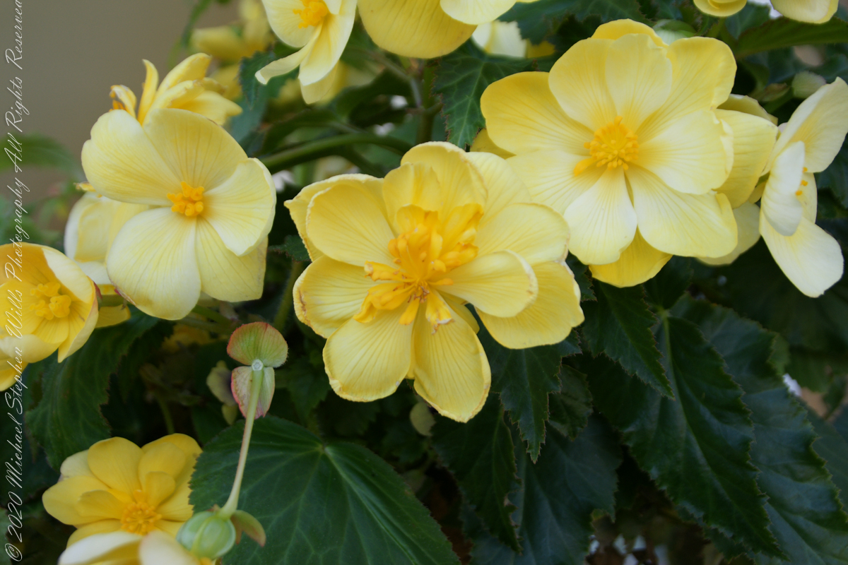
A turn around our home: Smoke tree, Japanese Maple, Pam’s flower baskets, fallen Oak leaves
.TT.
Panoramas from our front porch and on to Hector Street descending into and through Ithaca
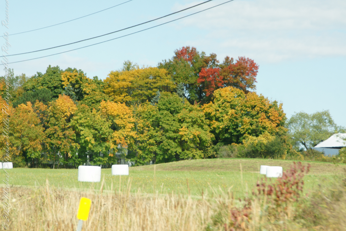
Headed up Route 34 along Cayuga Lake, into “Farm Country”
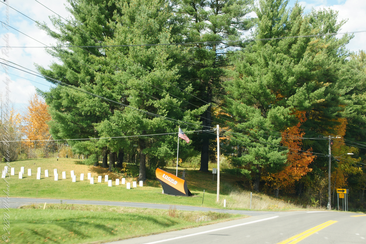
Turning onto Locke Road and crossing from Tompkins to Cayuga County
Travelling through Cayuga County, the town of Locke, then Moravia and Fillmore Glen State Park
..
This is my farewell to “Fall” for now.
Copyright 2022 All Right Reserved Michael Stephen Wills
“Cornell Botanic Gardens is a living museum with a mature botanic garden and arboretum—part of what makes Cornell one of the most beautiful campuses anywhere. We steward over 3,600 acres of biologically diverse landscapes that represent the full range of ecological communities found in the Finger Lakes region.” — from their web site
Pam and I need venture no farther than across the valley, from West to East Hill, for an experience of autumn in all its glory. These IPhone 7 photographs and videos are from a recent visit.
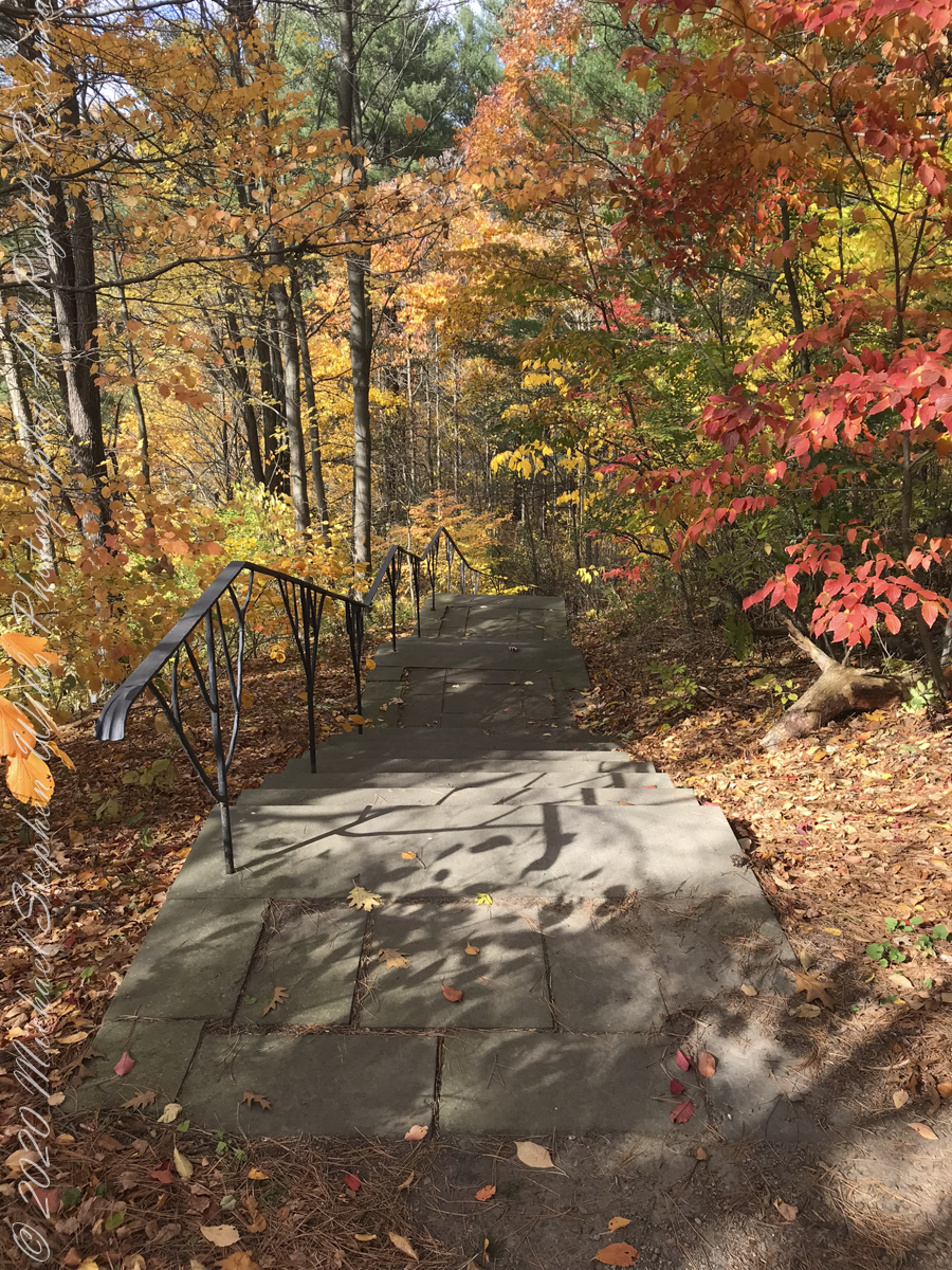
We took in the artistry of the railing, the stone steps, gentle curves.
De Courcey Stairs
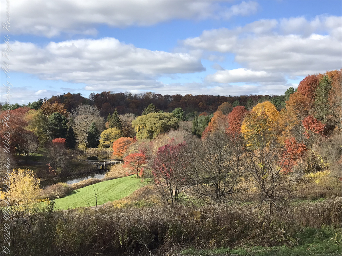
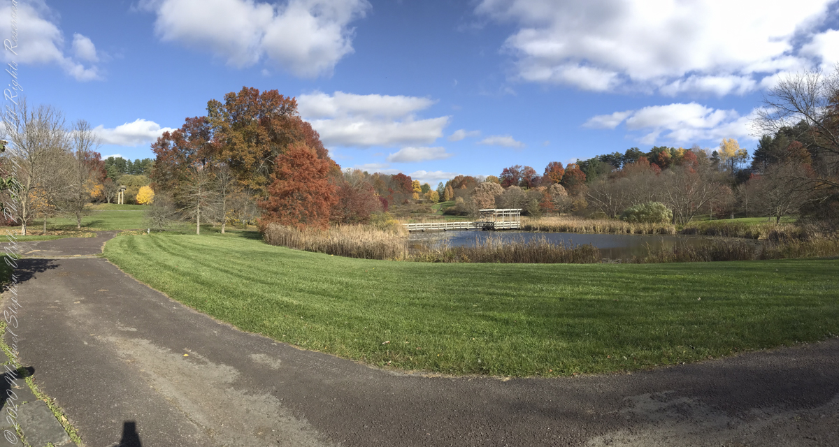
Buena Vistas
Granite boulders harvested for a Holocaust Memorial by Andy GoldsworthySculpture GardenArt Work
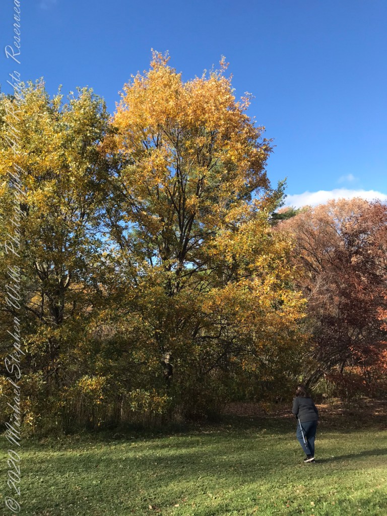
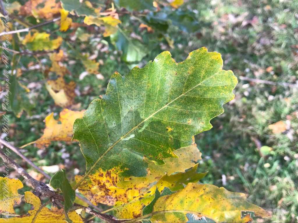
I marveled at the absence of Gypsy Moth egg masses on the Oak trunks, in spite of evident though modest leaf damage.
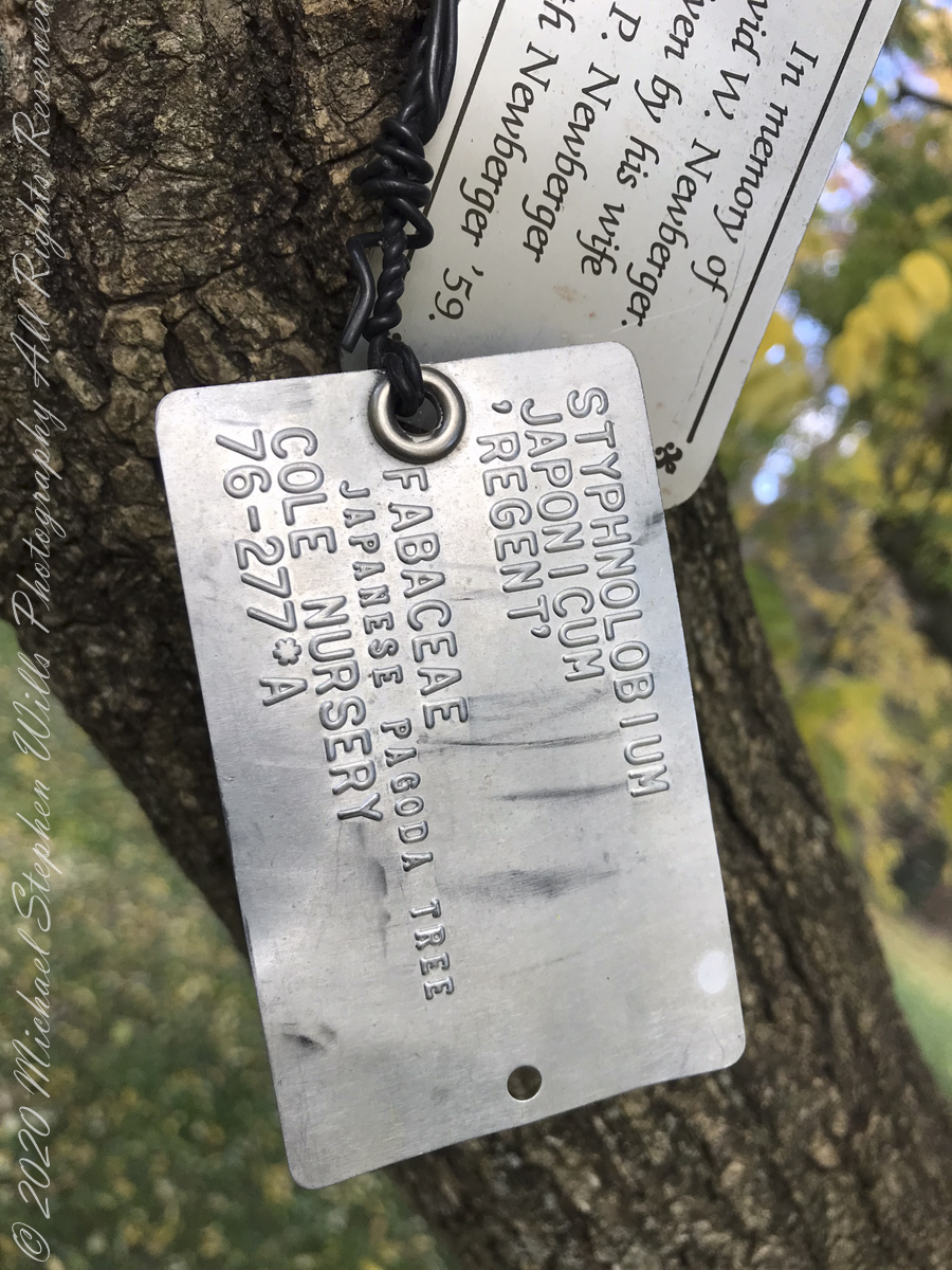
Labeled Diversity, specimens from the Oak Collection
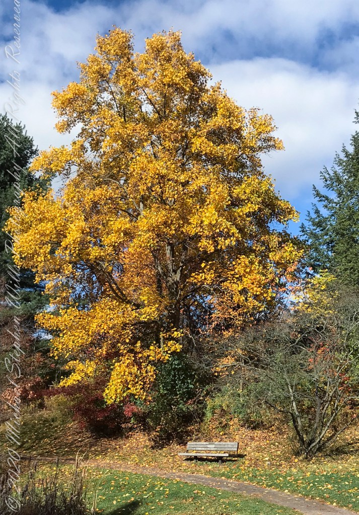
Respite BenchEncircledGrand OakStriking GroupAncient Red Oak Silhouette
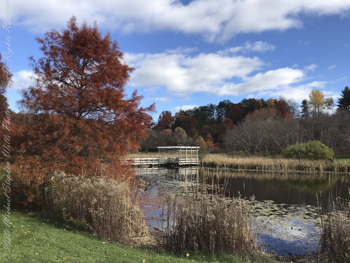
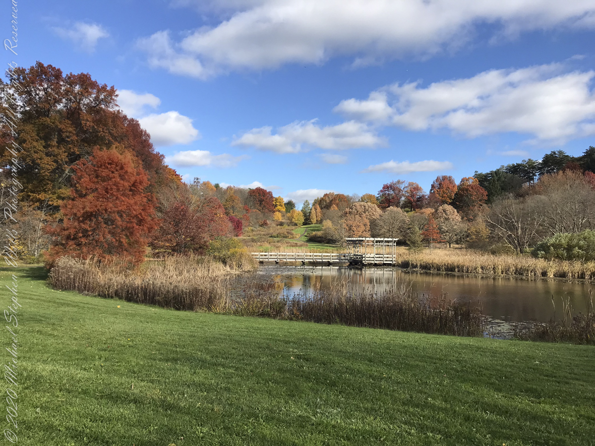
Houston Pond is visible in several of the “Buena Vista” images…..
Houston Pond
Houston Pond reflections from the pavilion
Another version of reflections from Houston Pond taken from pavilion
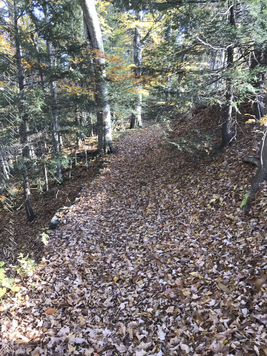
Johnson Trail
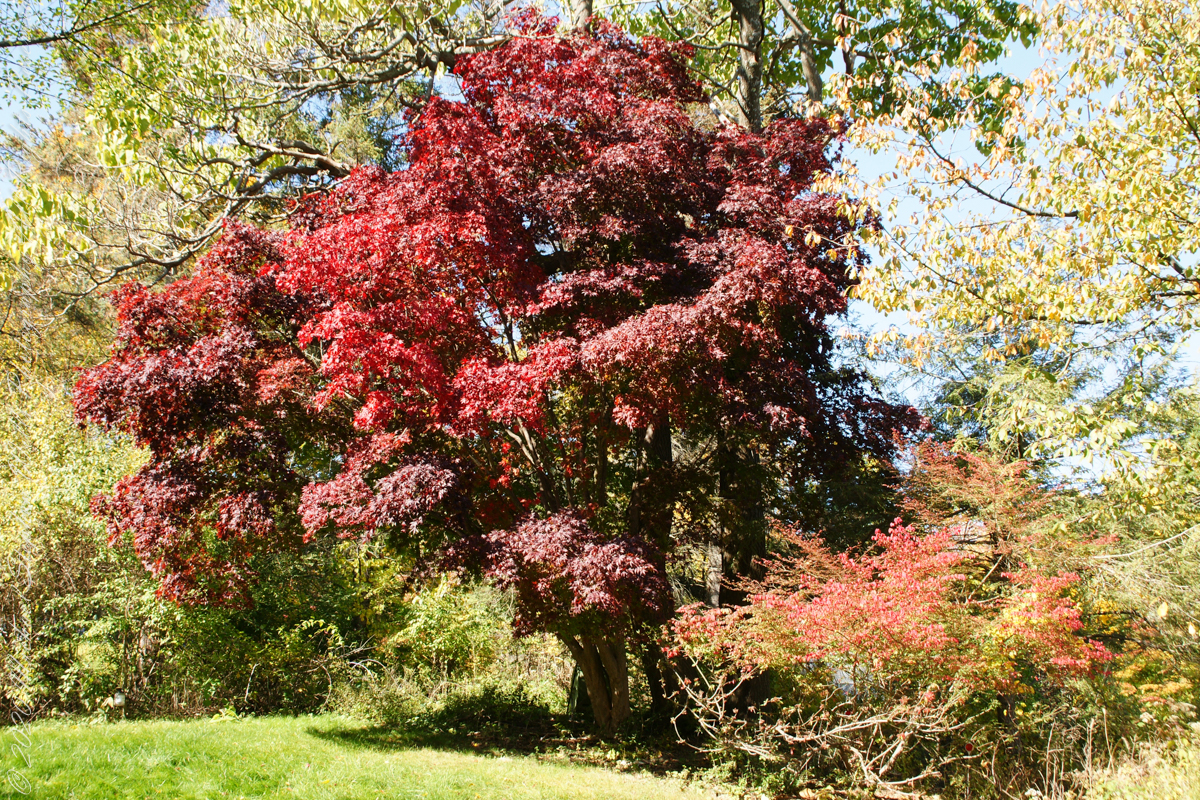
“No Place Like Home” — Back on West Hill, our Japanese Maple was waiting for us.
Copyright 2022 Michael Stephen Wills All Rights Reserved
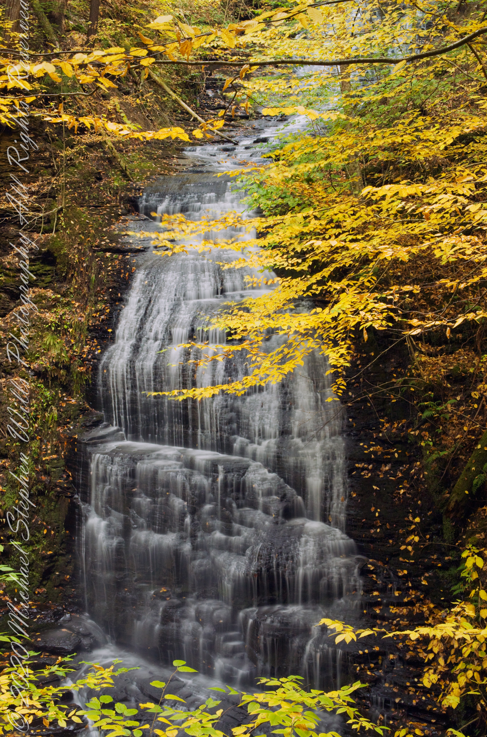
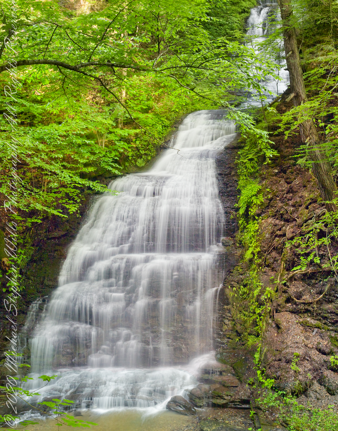
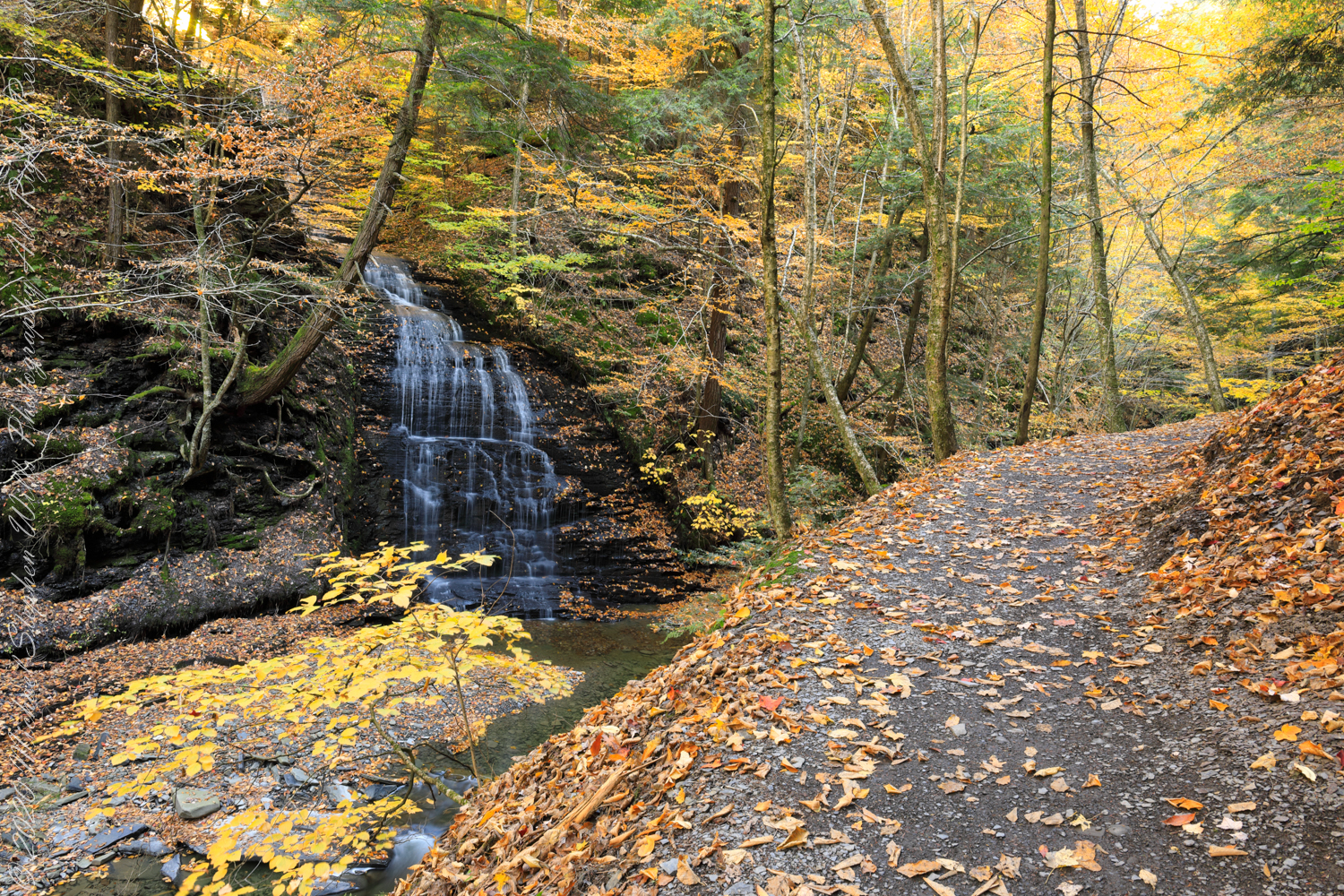
Between bridges six (6) and seven (7) on the Gorge trail a cascade comes down the canyon wall. Mid-summer this brook can dry out, the waterfall disappears leaving this spot naked of water.
Taken over a period of thirteen (13) years, the cascade was alive and well autumn-time. This year, after the summer drought our autumn rains were sparse, the flow is the lowest photographed.
“Friends”, Sony DSLR-A 700, variable lens set to 24 mm
Taken mid-October 2010, Kodak DSC Pro SLR-C, 50 mm lens
Taken late September 2009 before leaf turning, Kodak DSC Pro SLR-C, 50 mm lens
Autumn Peak 2022, Canon EOS 5D Mark IV, 24 mm lens
Copyright 2022 All Right Reserved Michael Stephen Wills
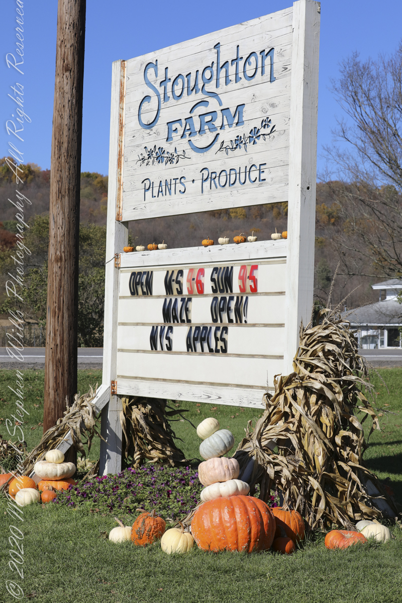
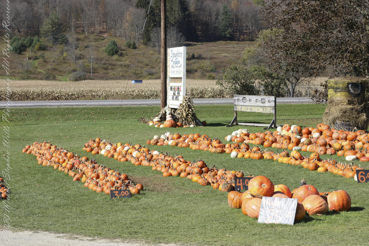
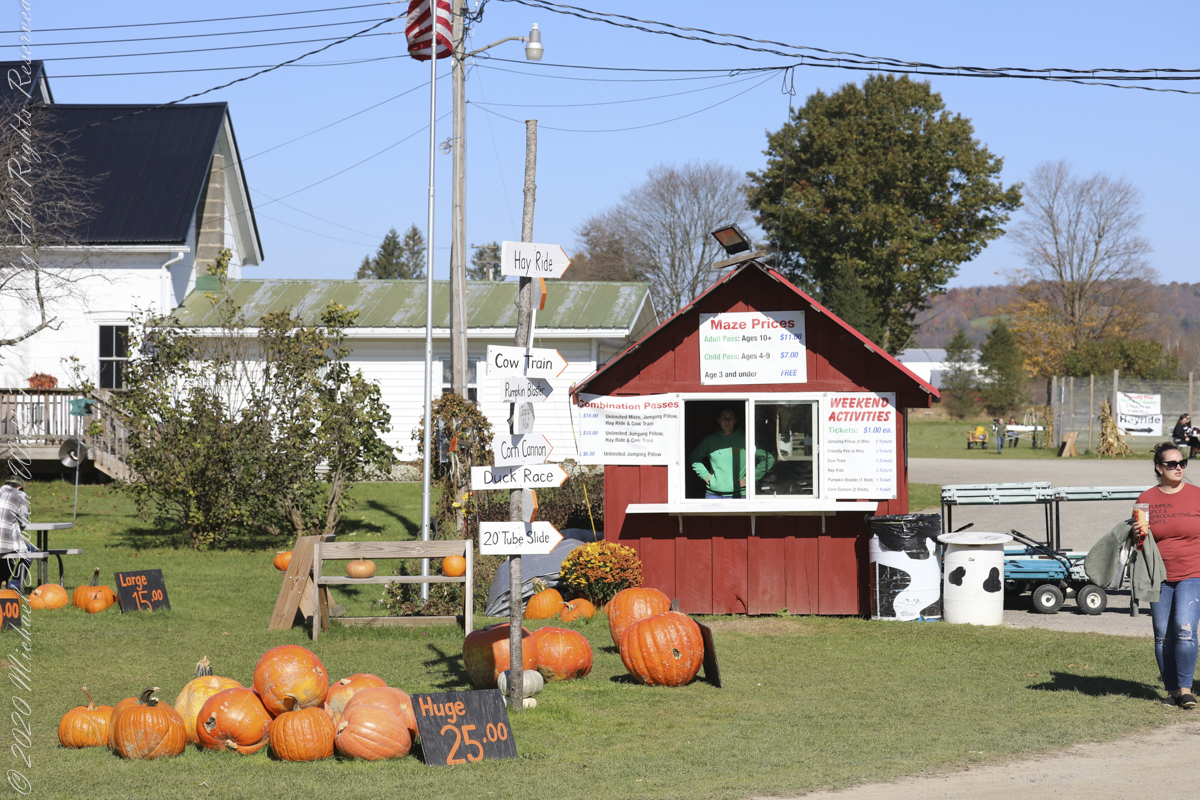
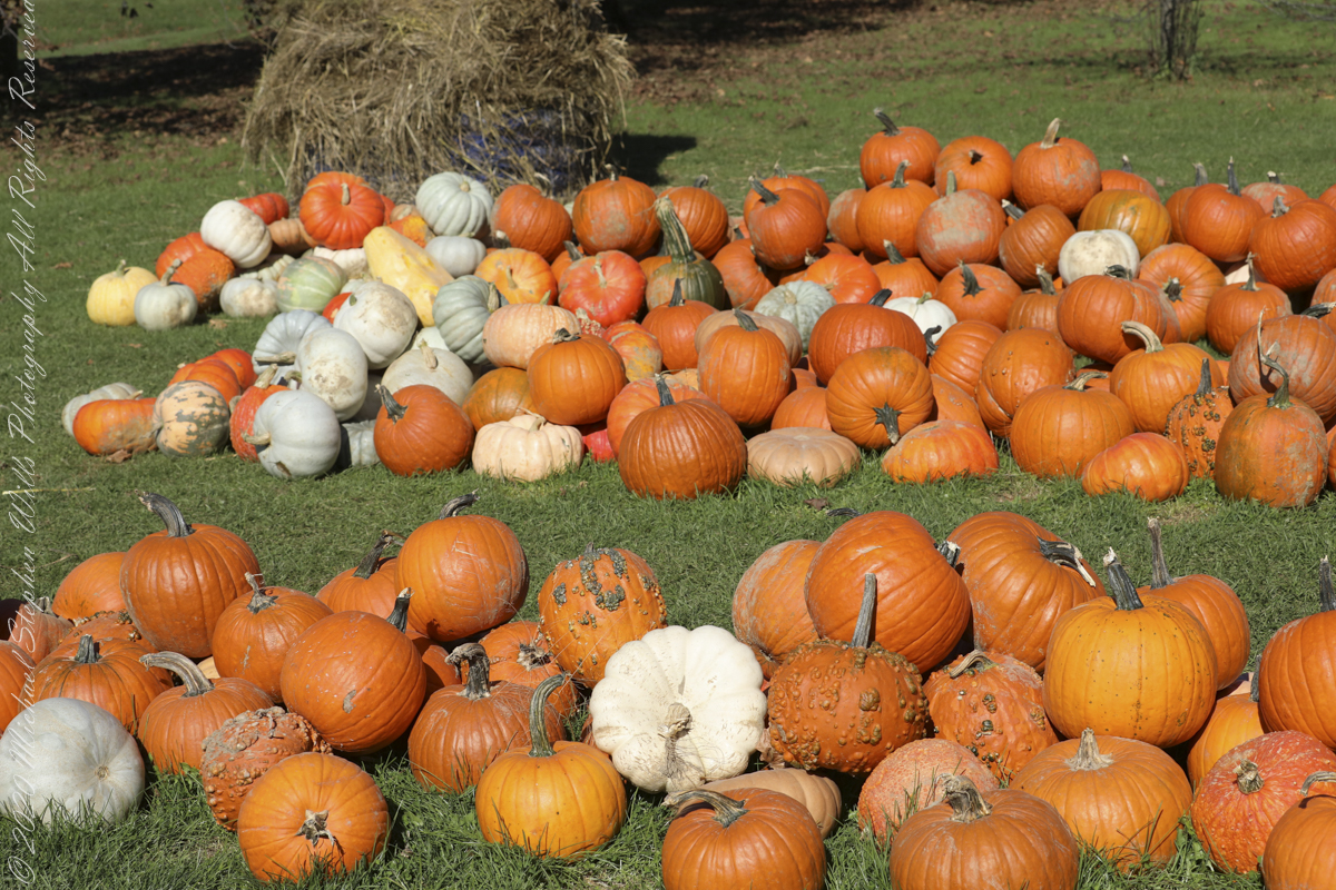
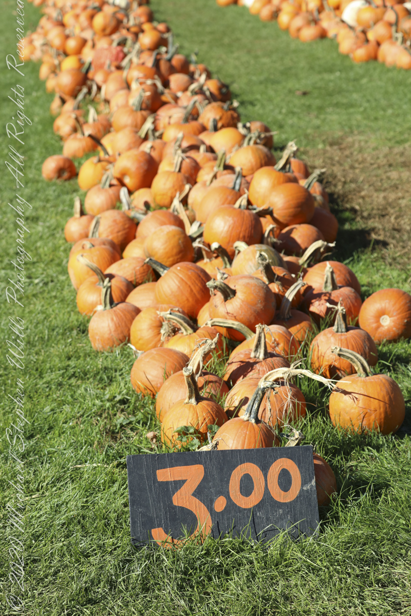
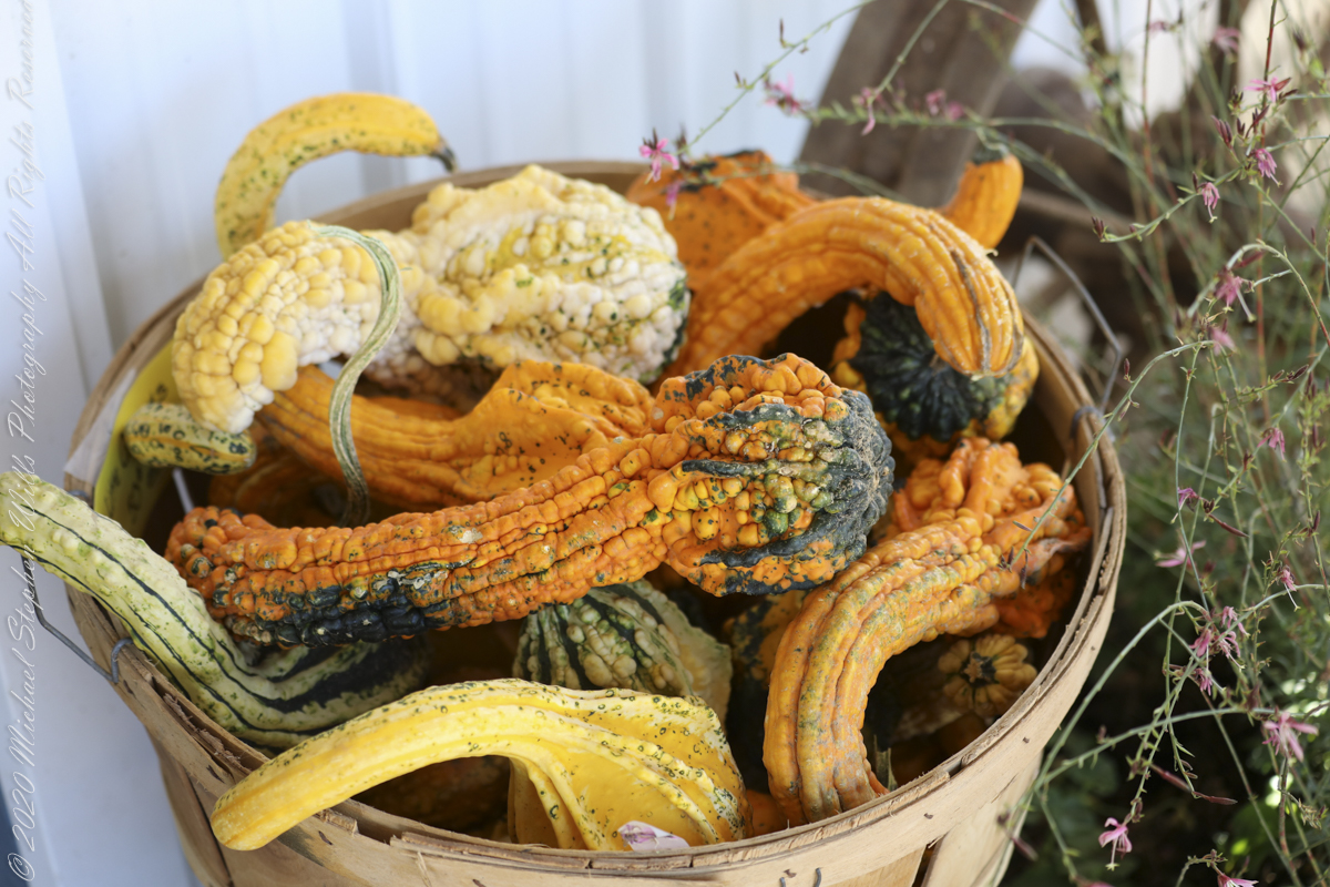
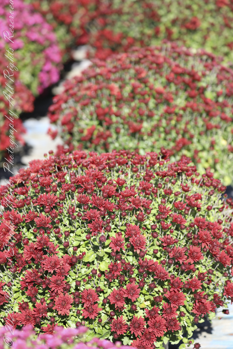
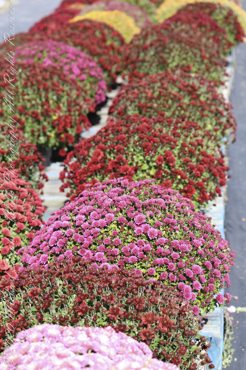
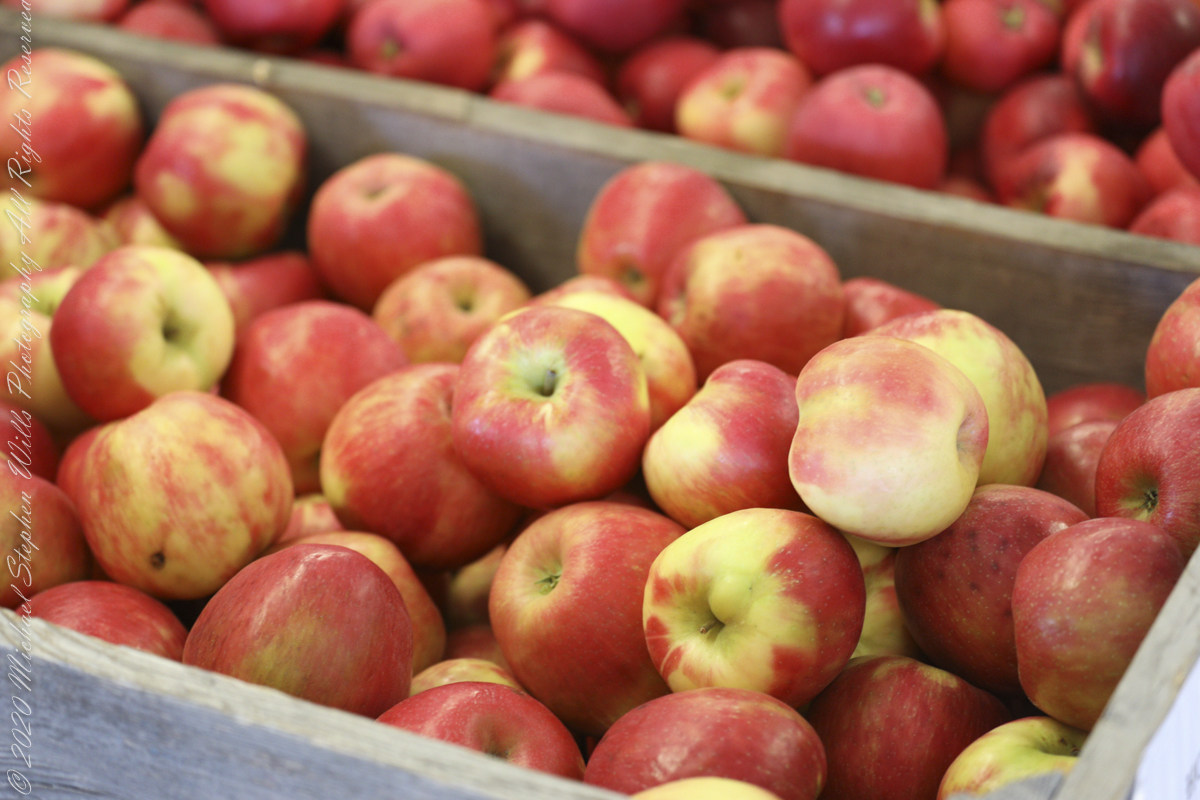
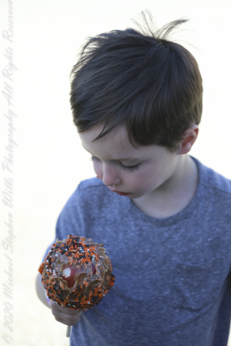
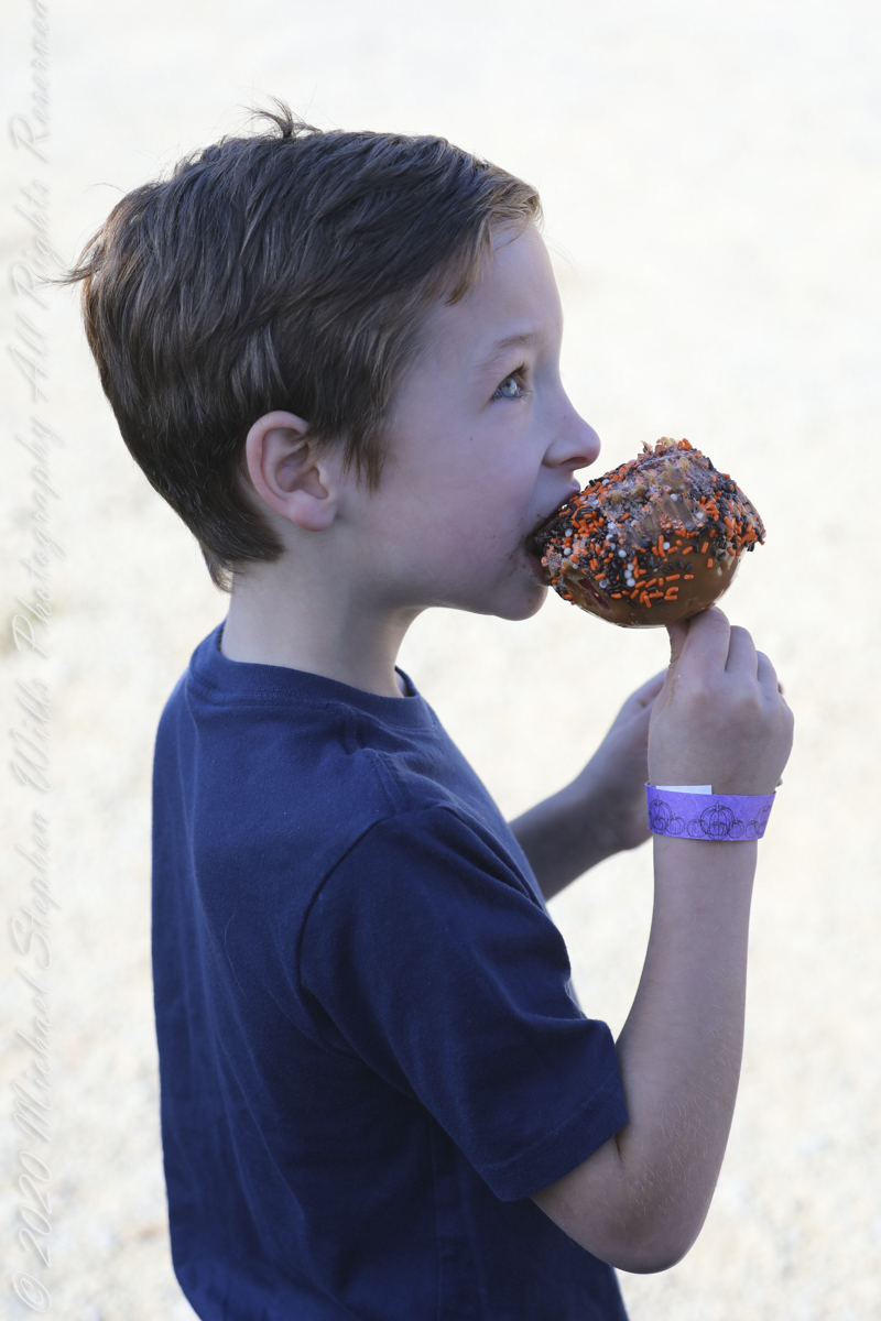
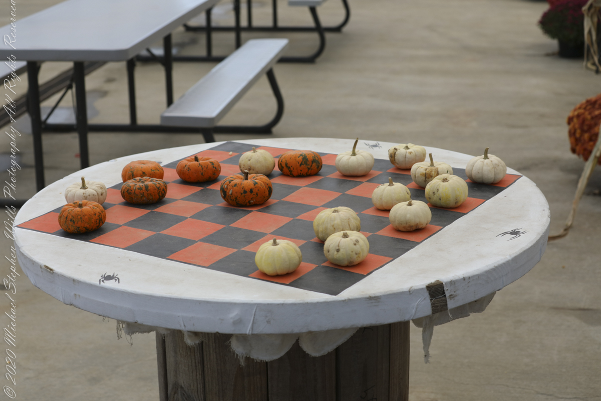
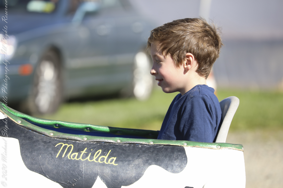
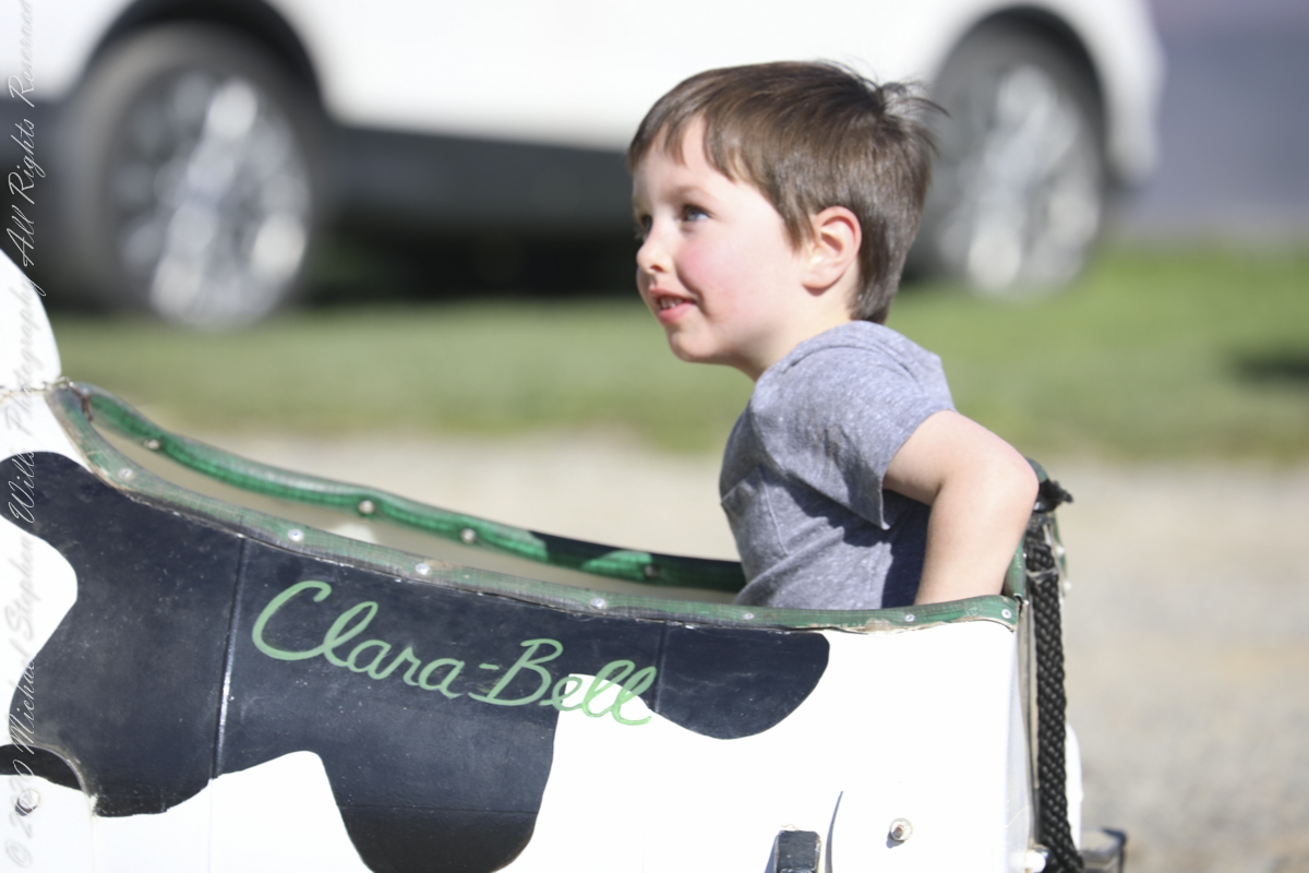
Gourds include the fruits of some flowering plant species in the family Cucurbitaceae, particularly Cucurbita and Lagenaria. The term refers to a number of species and subspecies, many with hard shells, and some without. One of the earliest domesticated types of plants, subspecies of the bottle gourd, Lagenaria siceraria, have been discovered in archaeological sites dating from as early as 13,000 BCE. Gourds have had numerous uses throughout history, including as tools, musical instruments, objects of art, film, and food. ~Wikipedia A wildly popular flower, Chrysanthemums are presented here during a “Pumpkin Farm” autumn festival. Honeycrisp (Malus pumila) is an apple cultivar (cultivated variety) developed at the Minnesota Agricultural Experiment Station’s Horticultural Research Center at the University of Minnesota, Twin Cities. Designated in 1974 with the MN 1711 test designation, patented in 1988, and released in 1991, the Honeycrisp, once slated to be discarded, has rapidly become a prized commercial commodity, as its sweetness, firmness, and tartness make it an ideal apple for eating raw. “…The apple wasn’t bred to grow, store or ship well. It was bred for taste: crisp, with balanced sweetness and acidity.” It has larger cells than most apple cultivars, a trait which is correlated with juiciness, as theoretically a higher number of cells rupture when bitten, releasing more juice in the mouth. The Honeycrisp also retains its pigment well and has a relatively long shelf life when stored in cool, dry conditions. Pepin Heights Orchards delivered the first Honeycrisp apples to grocery stores in 1997. The name Honeycrisp was trademarked by the University of Minnesota, but university officials were unsure of its protection status in 2007. It is now the official state fruit of Minnesota. A large-sized honeycrisp will contain about 113 calories. ~Wikipedia Stoughton Farm, Newark Valley, Tioga County, New York
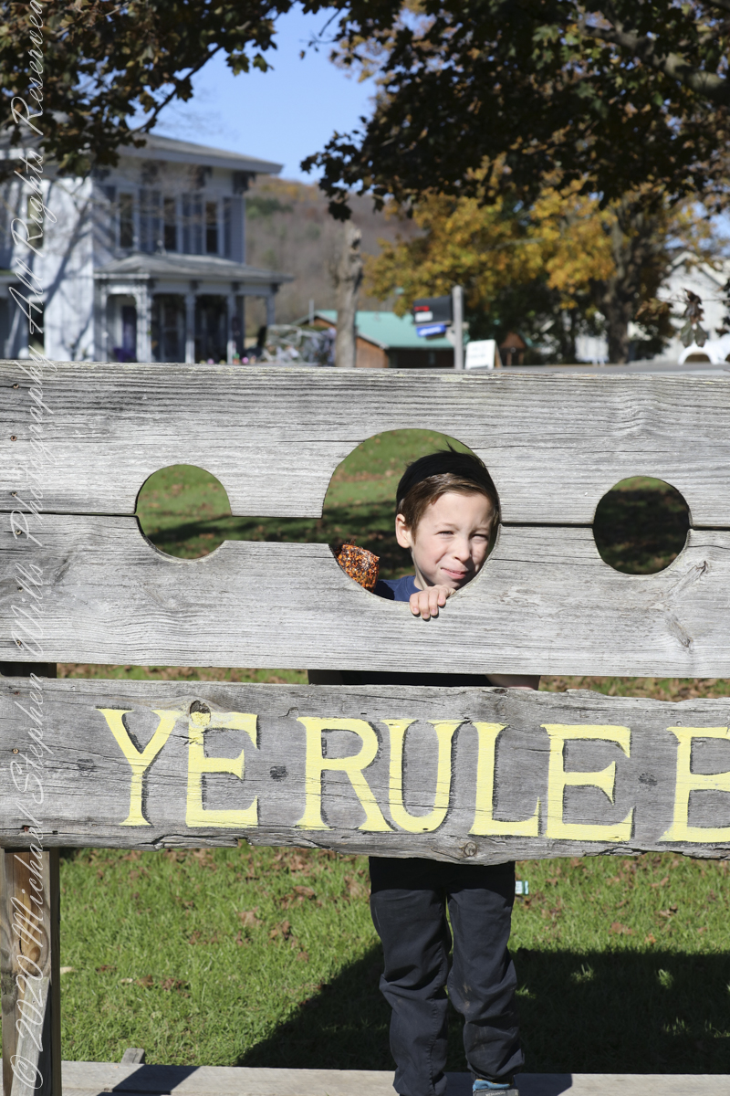
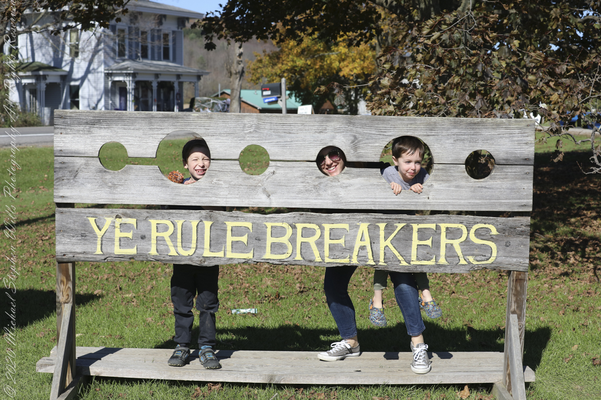
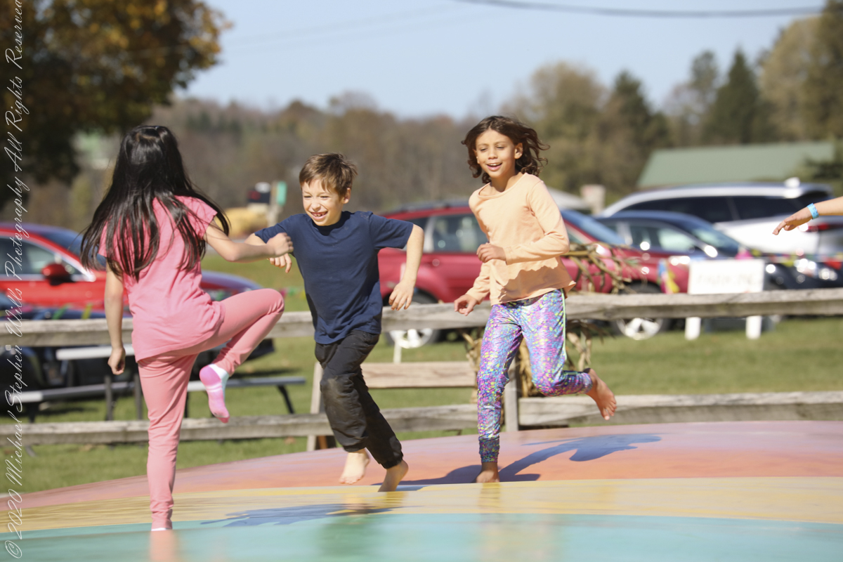
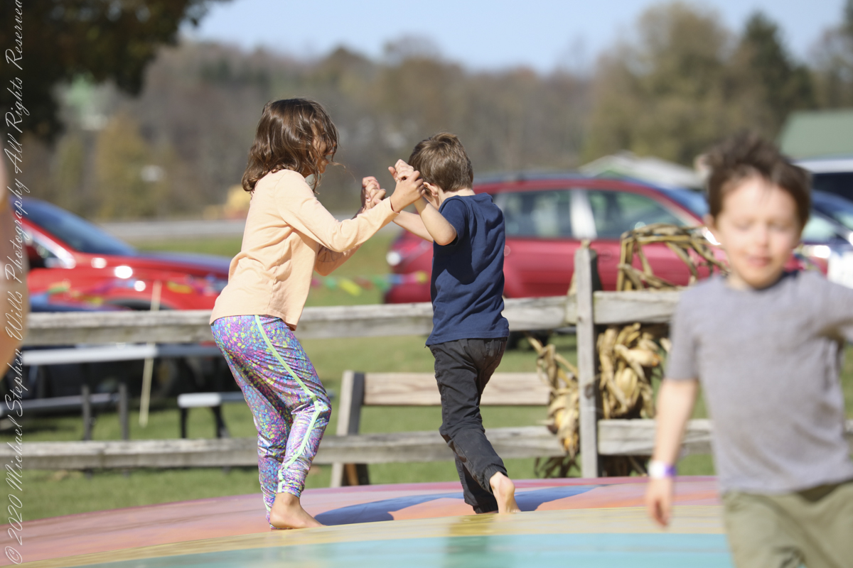
Family
A family pulls together before the Pumpkin Farm Autumn Festival.
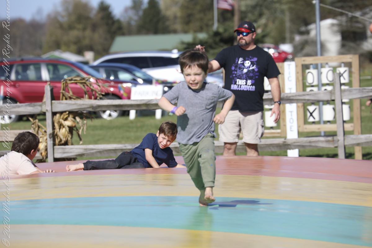
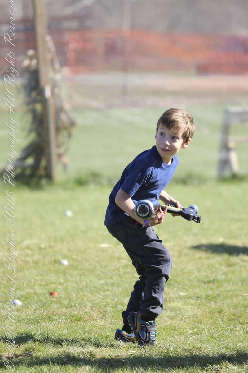
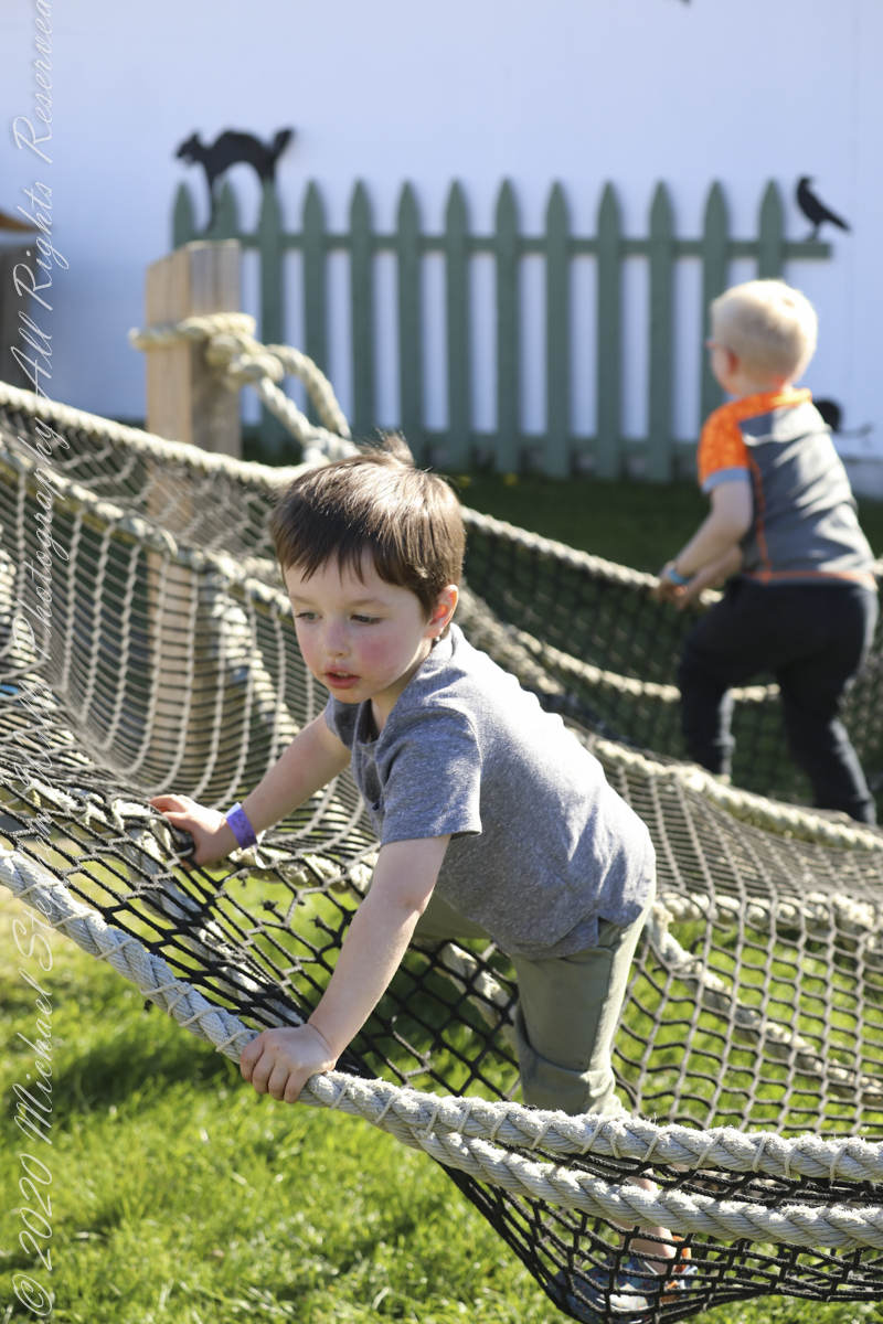
Fun
Nerf Gun BattleCow Wagon
Copyright 2022 Michael Stephen Wills All Rights Reserved
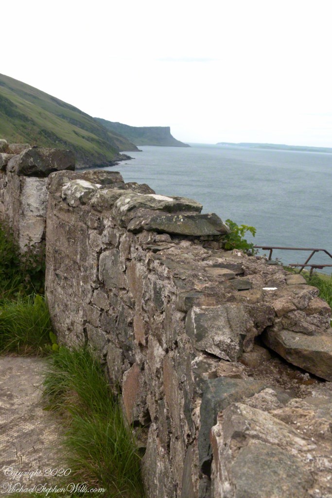
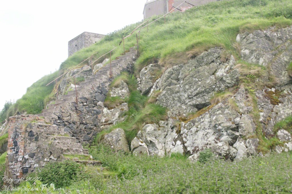
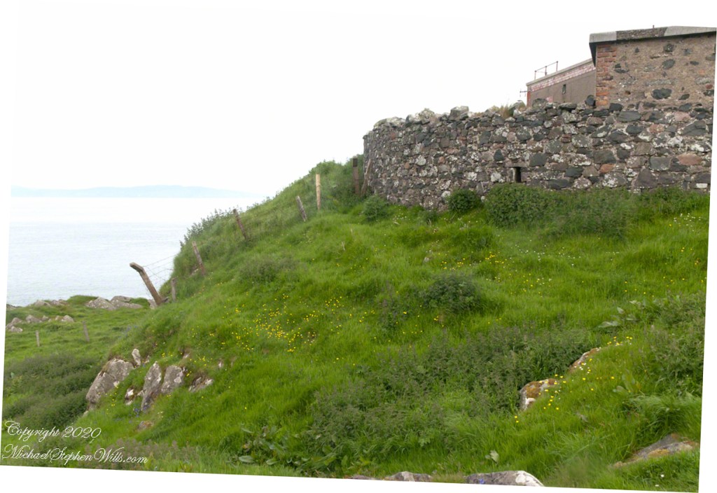
Weathered masonry at the height of Torr Head was there to serve the custom house and as support for a spotting station where ships transiting the Strait of Moyle (Irish Sruth na Maoile), the 12 miles of water to the Mull of Kintyre.
Lloyd’s of London, vitally interested in the appearance of ships’ progress crossing the oceans, had notice of passage via semaphore (and, later, Marconi’s “wireless”). Destination ports were copied in.
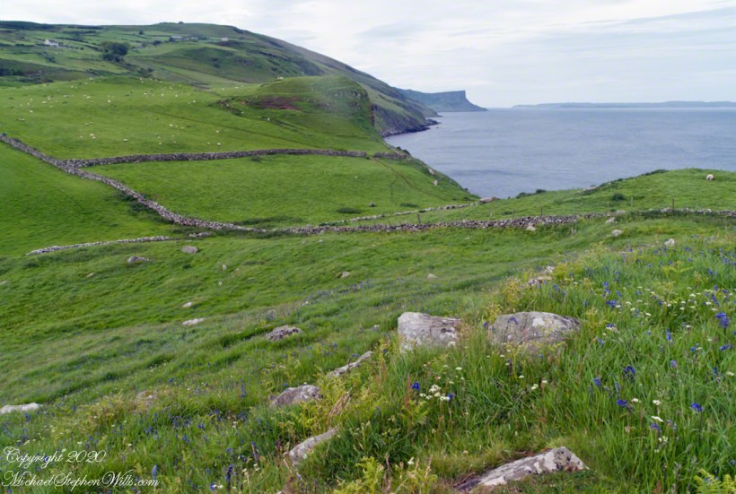
Scottish influences touched the landscape covered by yesterday’s post, today we continue on this subject with these south facing views from Torr Head. The far ridge of Torrcor marks Loughan Bay.
A townland on the other side of Torrcor hill (and townland) has an eponymous ruin, Altagore Cashel. Mores the pity we did not visit this site, a thick drystone enclosing wall from the 5th century (you can see photographs from another site at this link). Cashel is from the Irish Caiseal, a circular, defensive fort (“ring fort”).
Books such as “Antrim and Argyll: Some Aspects of the Connections” tell of connections over the millennia, clan associations between the islands and ring forts such as Altagore Cashel.
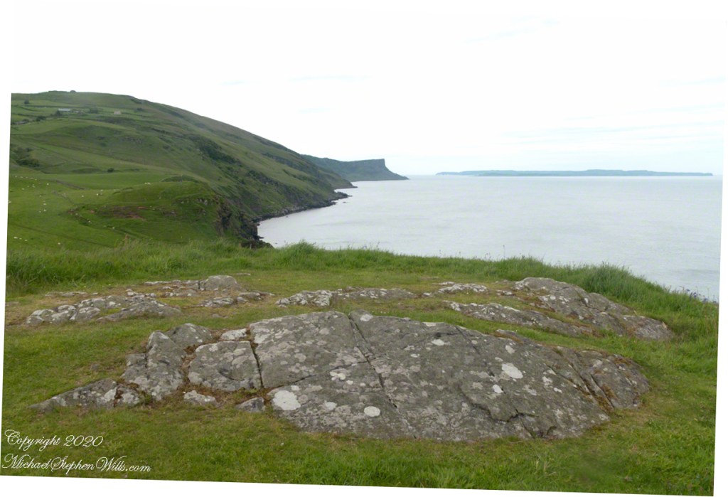
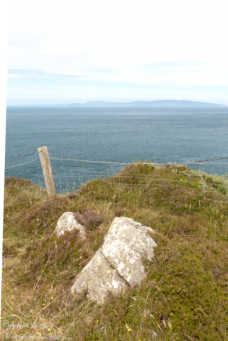
Argylshire Scotland across the North Channel from Torr Head
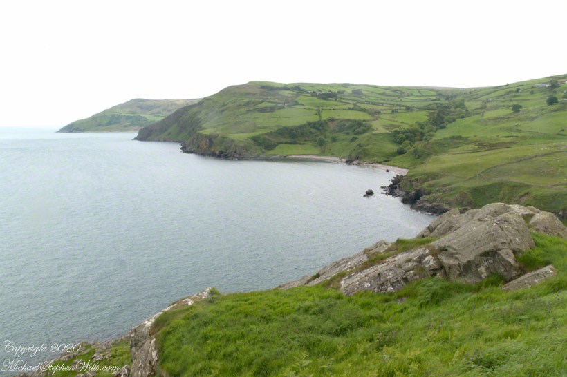
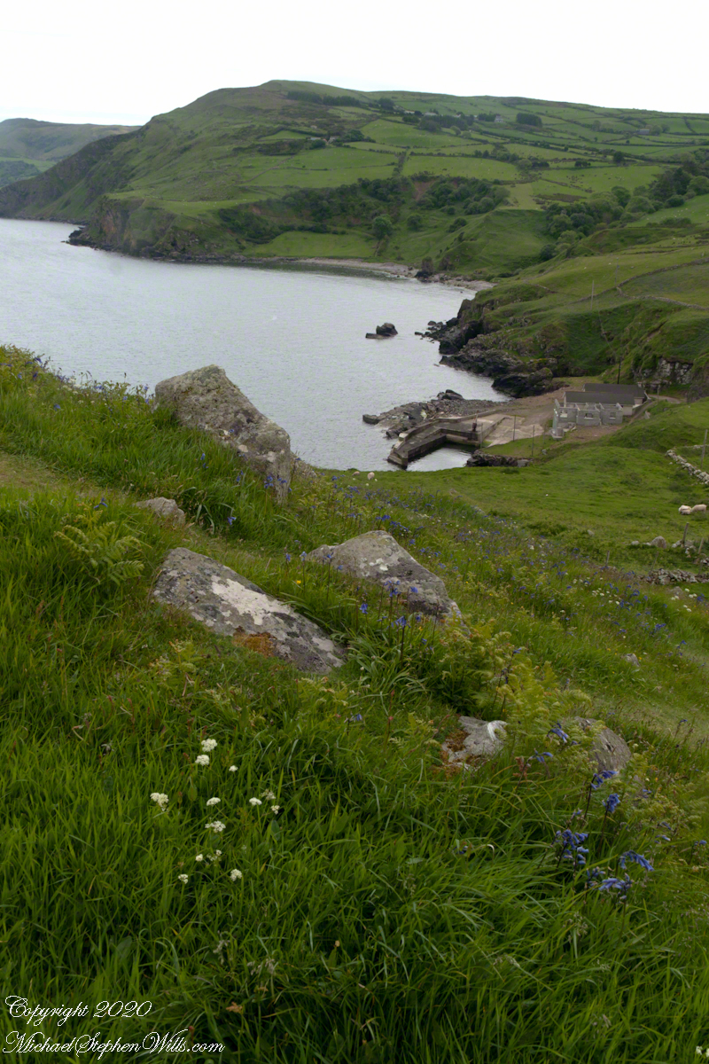
Late spring and summer, weekdays, a net is stretched across the bay to catch salmon nosing up the coast, searching for their home spawning stream, here called Altmore Burn. “Burn” is a Scottish term for a fresh water source, evidence of the influence 12 miles across the north channel.
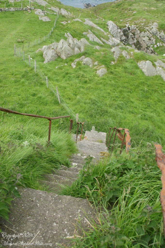
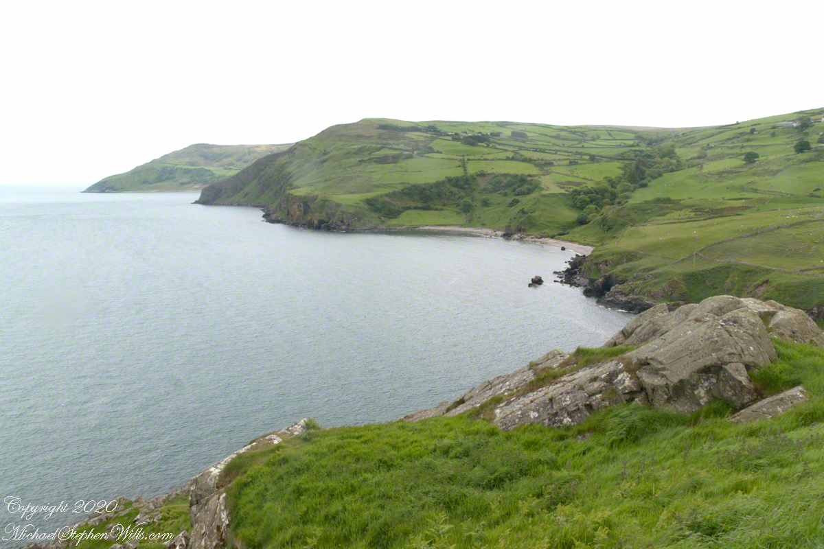
The small harbor seen here from Torr Head is for the salmon fishery. Small boats will seek shelter here from the wind and tides strong enough to roar in passing the Head, like a fast flowing river.
Taking in a flower meadow, foreground, coaster sheep pastures, the photograph, below, looks north from Torr Head. The high hill, midground, is Greenanmore, notable for a the largest passage tomb of the Antrim Glens. Locally known as “Barrach’s Tomb,” for the Red Branch knight of the 1st Century AD fort on Torr Head, tree ring research of the mid-20th Century dates these tombs in the neolithic The hilltop passage tomb was an ancient relic when the mortar of Barrach’s Torr Head fort was drying.
When I enlarge the original photograph, visible on the ridge is a decommissioned Cold War listening post, the tomb is near that. The distant land across the North Channel water is Rathlin Island.
Click photograph for a larger view. To do this from WordPress Reader, you need to first click the title of this post to open a new page.