Parts of the Scorpion

Twenty million years ago a then nonexistent earth-bound human civilization could recognize none of the prominent stars of the constellation Scorpius (The Scorpion) as these, compared to our 4.6 billion year old star, lit up less than 12 million years ago. The brightest star, Alpha Scorpii AKA Antares, is a red giant destined to burst into a supernova bright as the full moon within two million years. Will the human race be around to witness it?

Such as it is, The Scorpion was traced out by the Babylonian astronomers around 8 BCE following even more ancient Sumerian traditions naming Alpha Scorpii “The Heart of the Scorpion.”

I first became aware of Antares March 2009 during a stay on Cocoa Beach. Setting the room clock to a 5 am alarm to view the sunrise. As I sat listening to the surf, Antares glowed dark red in the south. It is the reddish tint star in the following illustration.
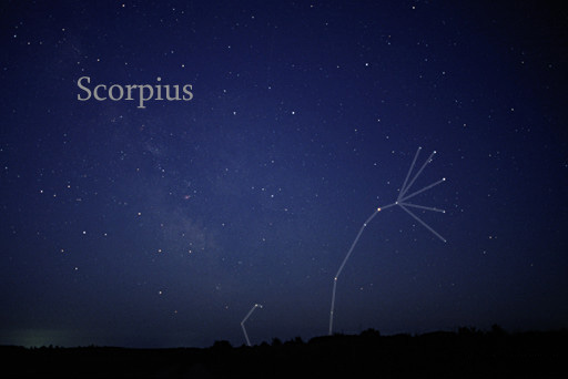
Till Credner, CC BY-SA 3.0 https://creativecommons.org/licenses/by-sa/3.0, via Wikimedia Commons

Here is a photograph of Antares, the reddish dot in center, along with the 6 of the 18 Scorpius bright stars. For this shot a Canon EOS 5D Mark IV dlsr had mounted a Canon lens EF 70-300 f4-5.6L IS USM set to 70 mm focal length, 1600 ISO. Exposure was “bulb,” meaning when the shutter button is pressed and held the shutter remains open: for this exposure this was for approximately 10 seconds. The equipment was held steady on a Manfrotto BeFree Carbon Fiber tripod. As the Earth continued to turn, the resulting star images are smeared a bit.
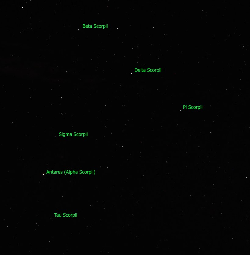
Bracketing Antares, the Scorpion Heart are “The Arteries” Theta and Tau. About those Greek letters, these designate relative brightness of each star respective of the others in the constellation. “Alpha” the first letter of the Greek alphabet is the brightest. Here are the other letters listed, with the alphabetic order in brackets Beta(2), Delta(4), Pi(16), Sigma(18), Tau(19). Ancient Greek built on the traditions of the Mesopotamians (Babylonian and Sumerian) and were in turn used for modern stellar nomenclature, including the tracings of sky images, the constellations.

The position of a relatively minor star, Tau, near Antares elevates it to the important function of an artery. The stars themselves run against their brightness hierarchy placement: The star Delta Scorpii, after having been a stable 2.3 magnitude star, flared in July 2000 to 1.9 in a matter of weeks. It has since become a variable star fluctuating between 2.0 and 1.6. This means that at its brightest it is the second brightest star in Scorpius.
Copyright 2023 Michael Stephen Wills All Rights Reserved

Autumn Wonder

Cornell Botanical Gardens

“Cornell Botanic Gardens is a living museum with a mature botanic garden and arboretum—part of what makes Cornell one of the most beautiful campuses anywhere. We steward over 3,600 acres of biologically diverse landscapes that represent the full range of ecological communities found in the Finger Lakes region.” — from their web site

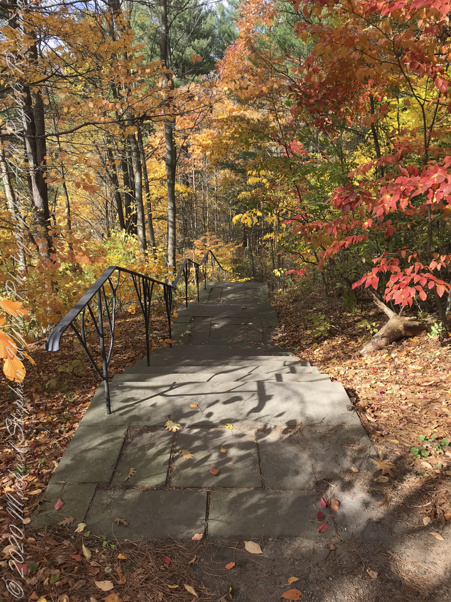
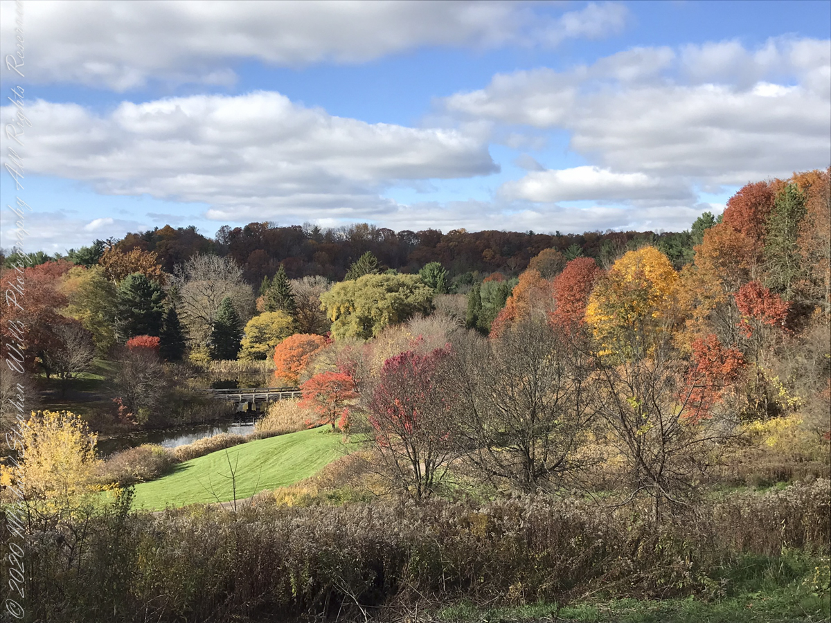
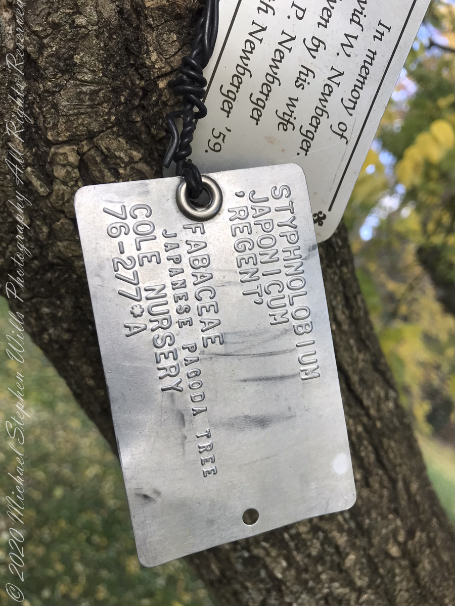
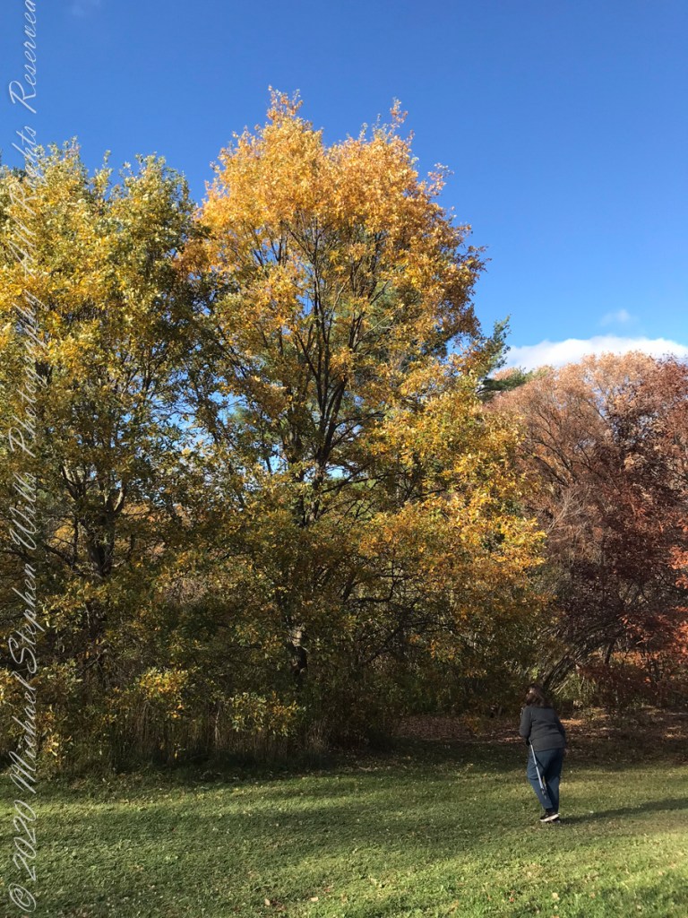
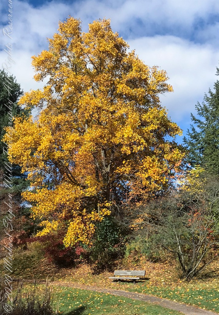
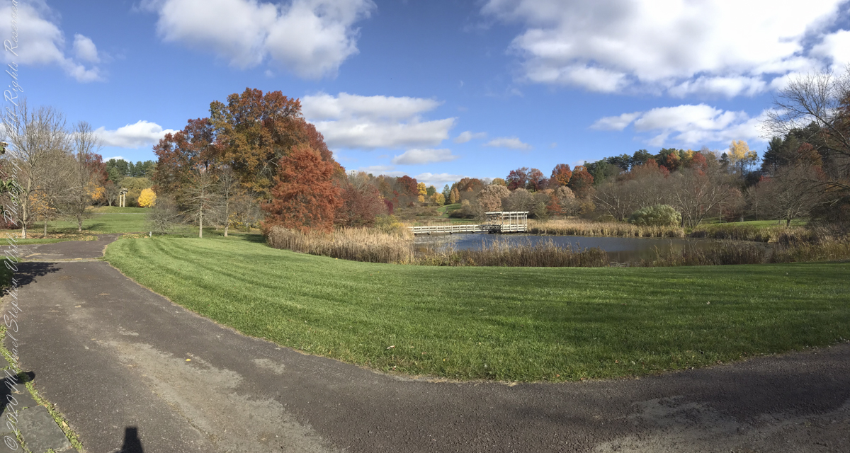
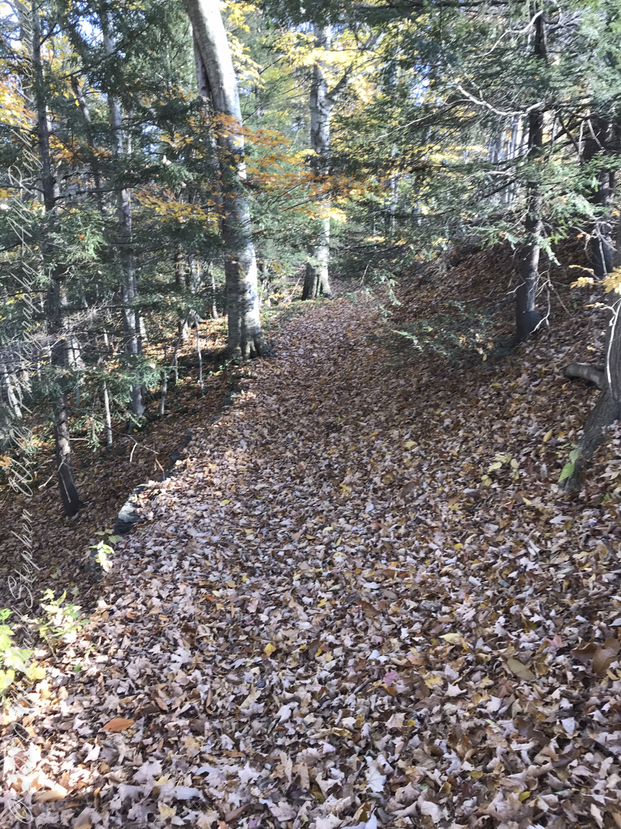
Pam and I need venture no farther than across the valley, from West to East Hill, for an experience of autumn in all its glory. These IPhone 7 photographs and videos are from a recent visit.

We took in the artistry of the railing, the stone steps, gentle curves.

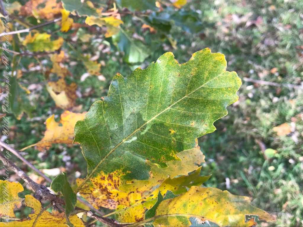
I marveled at the absence of Gypsy Moth egg masses on the Oak trunks, in spite of evident though modest leaf damage.

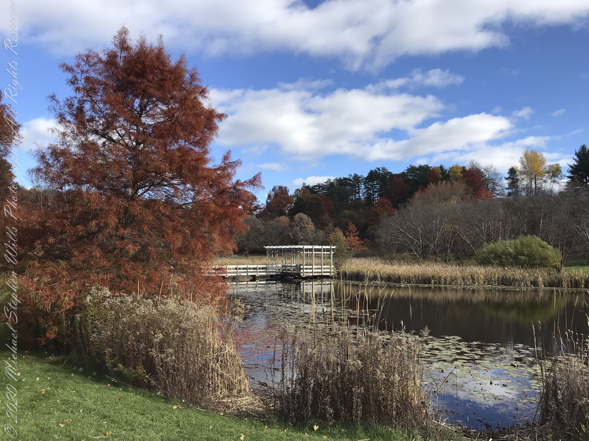
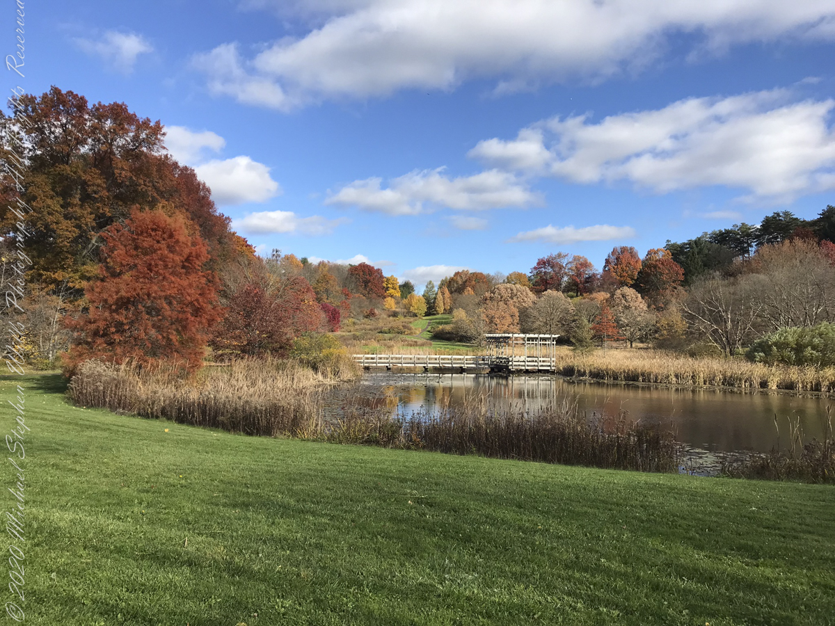
Houston Pond is visible in several of the “Buena Vista” images…..

Houston Pond reflections from the pavilion

Another version of reflections from Houston Pond taken from pavilion

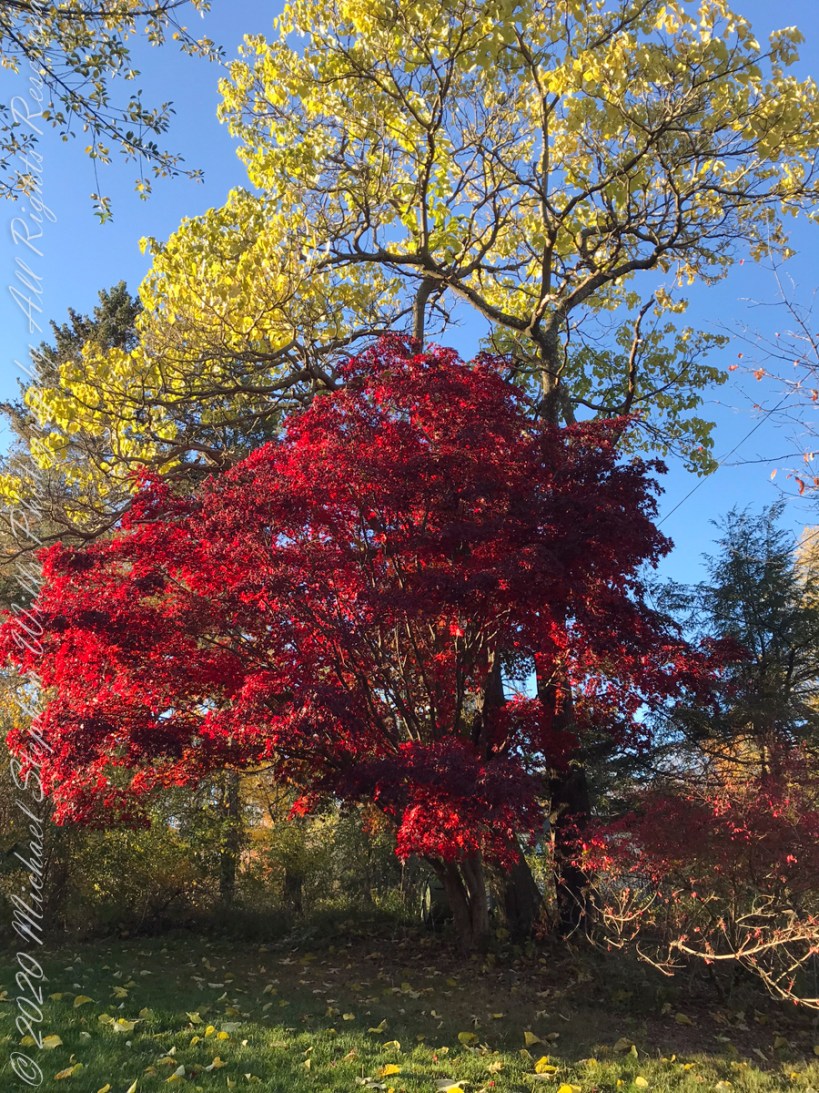
“No Place Like Home” — Back on West Hill, our Japanese Maple was waiting for us.
Copyright 2022 Michael Stephen Wills All Rights Reserved

Torr Head Stories VI

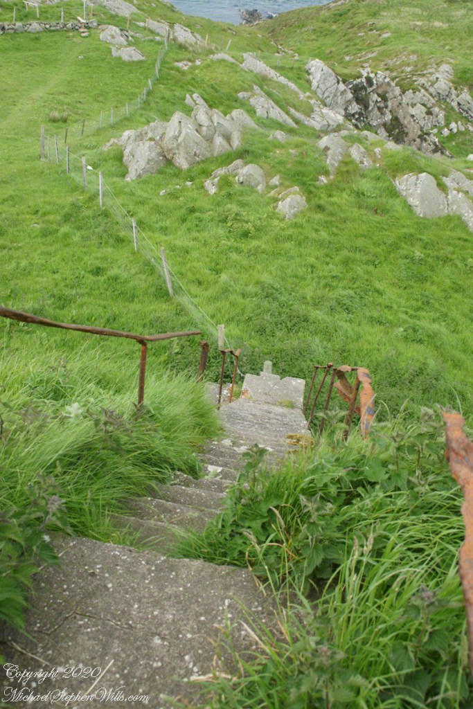
Down and Down

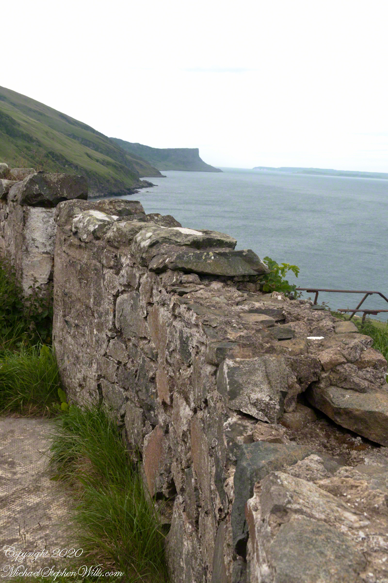
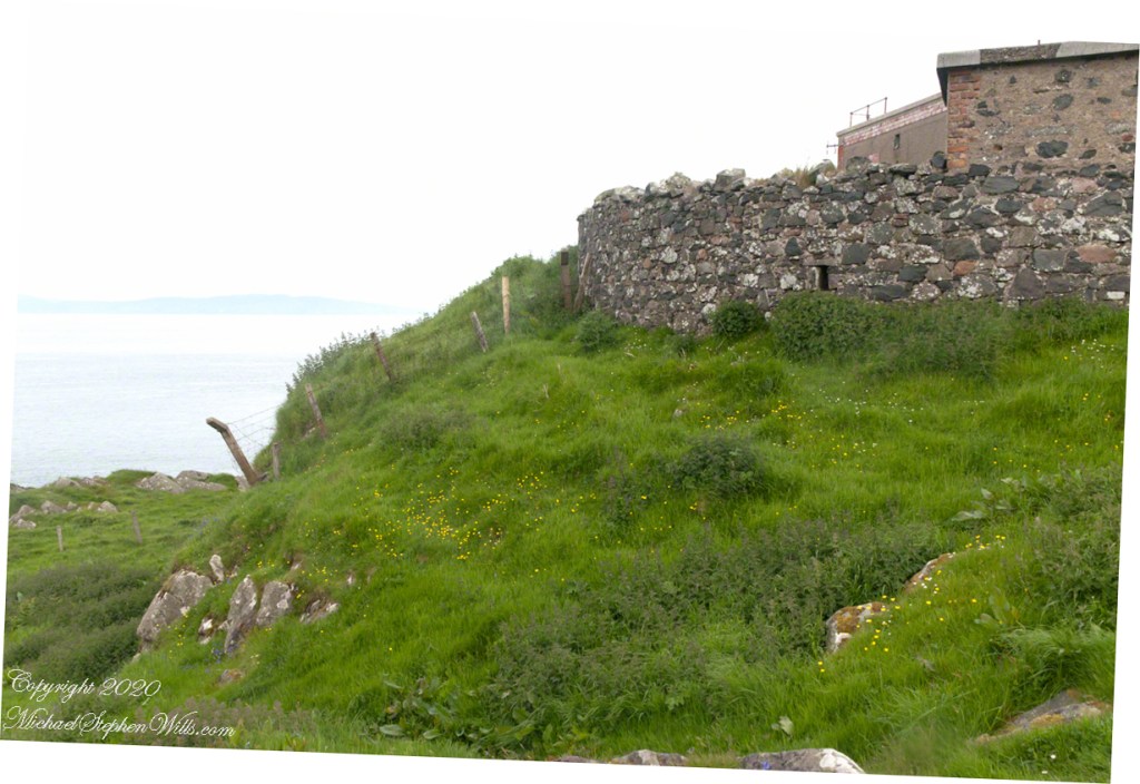
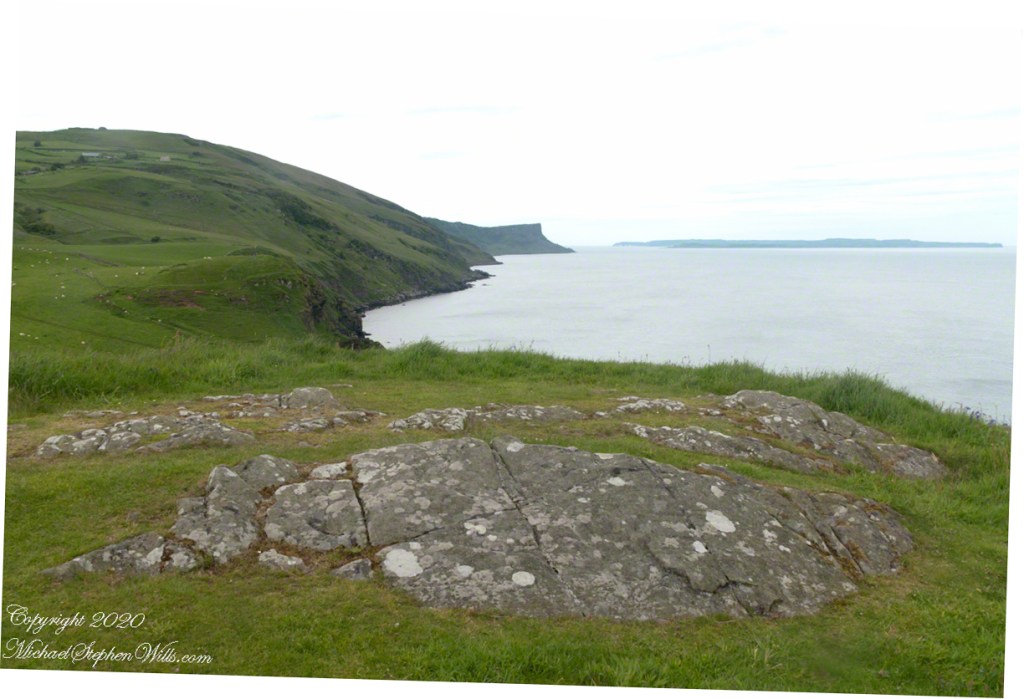
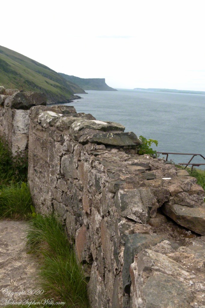
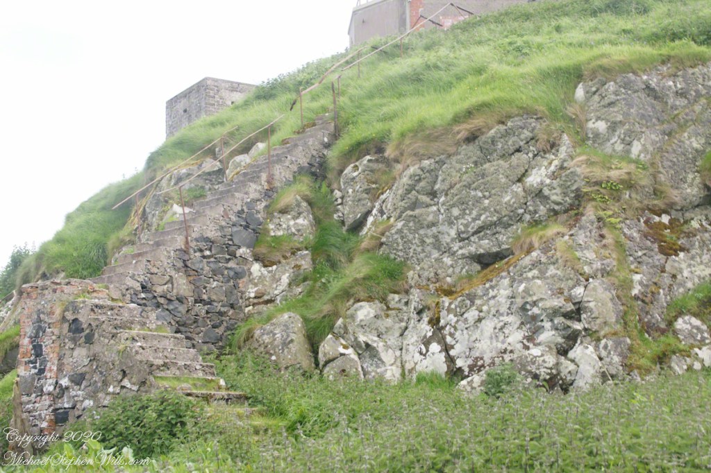
Weathered masonry at the height of Torr Head was there to serve the custom house and as support for a spotting station where ships transiting the Strait of Moyle (Irish Sruth na Maoile), the 12 miles of water to the Mull of Kintyre.

Lloyd’s of London, vitally interested in the appearance of ships’ progress crossing the oceans, had notice of passage via semaphore (and, later, Marconi’s “wireless”). Destination ports were copied in.

Explore my photography on Shutterstock for use with your blogs“

Click me for the first post of this series.
Copyright 2022 All Rights Reserved Michael Stephen Wills

Torr Head Stories V

The Way South –

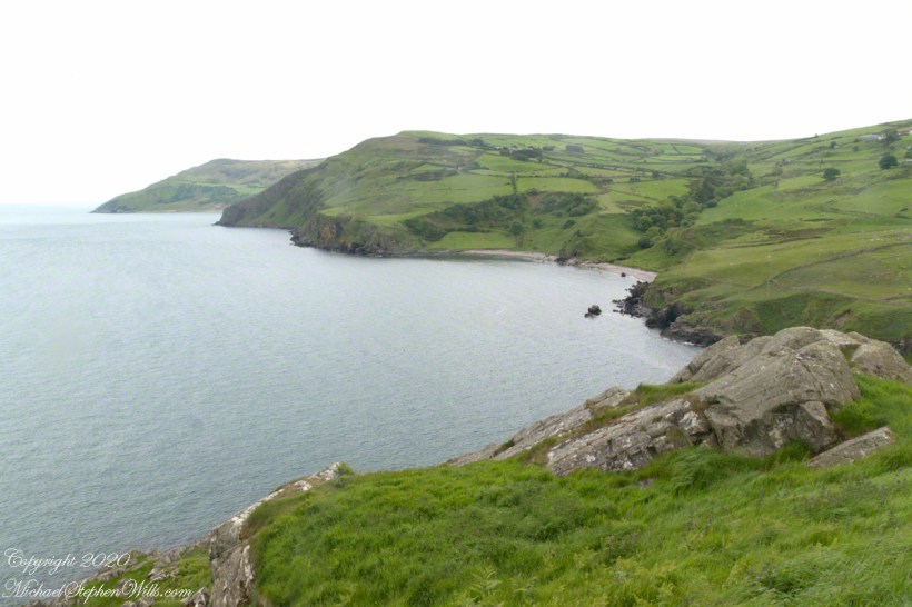
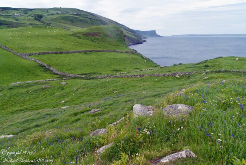
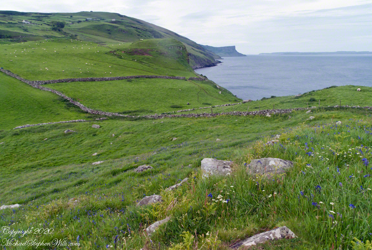
Scottish influences touched the landscape covered by yesterday’s post, today we continue on this subject with these south facing views from Torr Head. The far ridge of Torrcor marks Loughan Bay.
A townland on the other side of Torrcor hill (and townland) has an eponymous ruin, Altagore Cashel. Mores the pity we did not visit this site, a thick drystone enclosing wall from the 5th century (you can see photographs from another site at this link). Cashel is from the Irish Caiseal, a circular, defensive fort (“ring fort”).

Books such as “Antrim and Argyll: Some Aspects of the Connections” tell of connections over the millennia, clan associations between the islands and ring forts such as Altagore Cashel.

Explore my photography on Shutterstock for use with your blogs.

Copyright 2022 All Rights Reserved Michael Stephen Wills

Torr Head Stories IV

Salmon Run

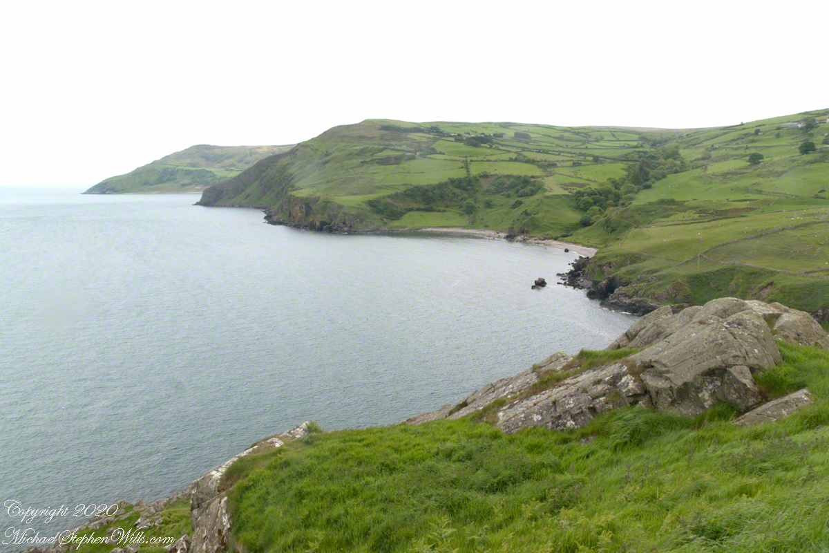
Late spring and summer, weekdays, a net is stretched across the bay to catch salmon nosing up the coast, searching for their home spawning stream, here called Altmore Burn. “Burn” is a Scottish term for a fresh water source, evidence of the influence 12 miles across the north channel.

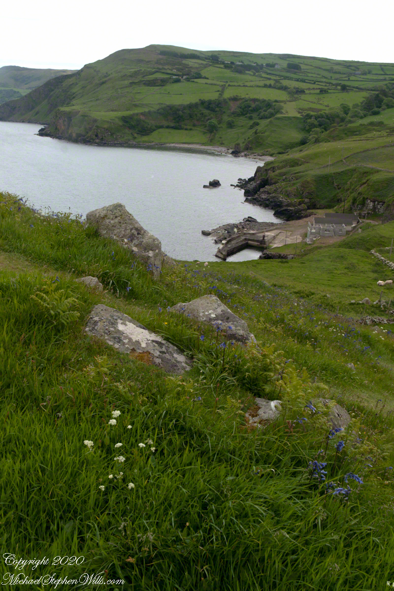
The small harbor seen here from Torr Head is for the salmon fishery. Small boats will seek shelter here from the wind and tides strong enough to roar in passing the Head, like a fast flowing river.

Click me for the first post of this series.

Copyright 2022 All Rights Reserved Michael Stephen Wills

Torr Head Stories III

Neolithic Passage Tomb

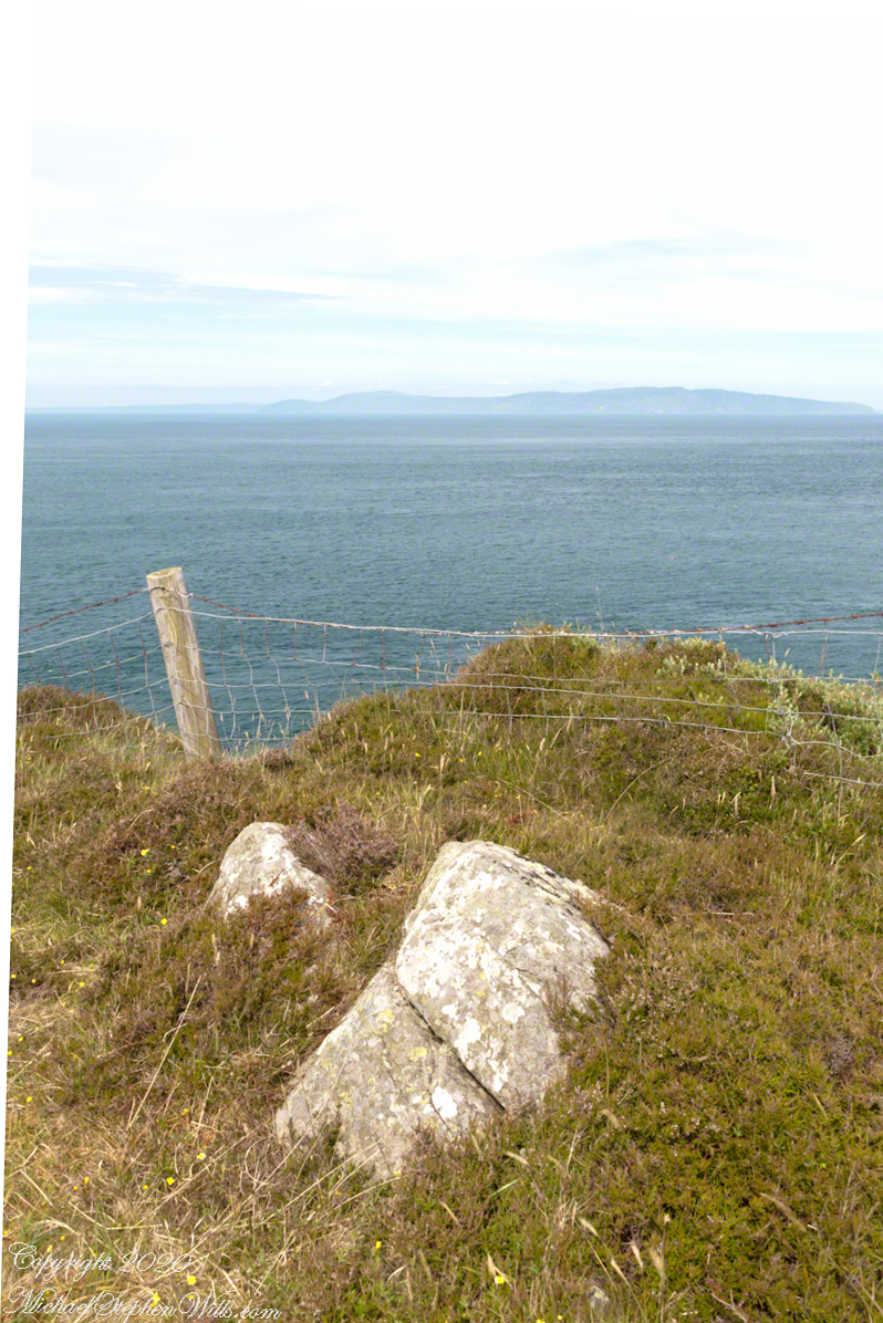
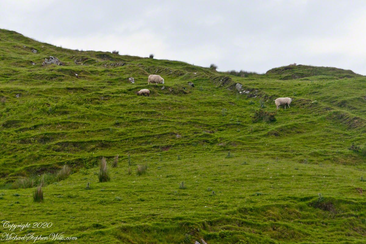
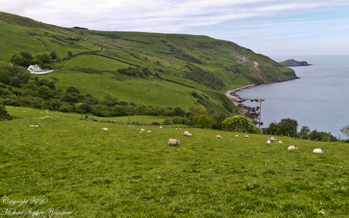
Taking in a flower meadow, foreground, coaster sheep pastures, the photograph, below, looks north from Torr Head. The high hill, midground, is Greenanmore, notable for a the largest passage tomb of the Antrim Glens. Locally known as “Barrach’s Tomb,” for the Red Branch knight of the 1st Century AD fort on Torr Head, tree ring research of the mid-20th Century dates these tombs in the neolithic The hilltop passage tomb was an ancient relic when the mortar of Barrach’s Torr Head fort was drying.

When I enlarge the original photograph, visible on the ridge is a decommissioned Cold War listening post, the tomb is near that. The distant land across the North Channel water is Rathlin Island.

Click photograph for a larger view. To do this from WordPress Reader, you need to first click the title of this post to open a new page.

Click me for the first post of this series.

Copyright 2022 All Rights Reserved Michael Stephen Wills

Torr Head Stories II

Ancient Castles and Raithlin Island

Knights of the Red Branch appear towards the end of “Deirdre and the sons of Uisneach”, a tale from 1st century AD Ireland, as protectors of the lovers Dierdre and one of the sons of Uisneach, named Naoise. The two fled to Rathlin Island, seen in the distance in the following photograph.

From Rathlin Island they passed over the Irish Sea to Scotland where they lived happily for a term of years.

Click me for an earlier Torr Head post “A Bit About Torr Head.”

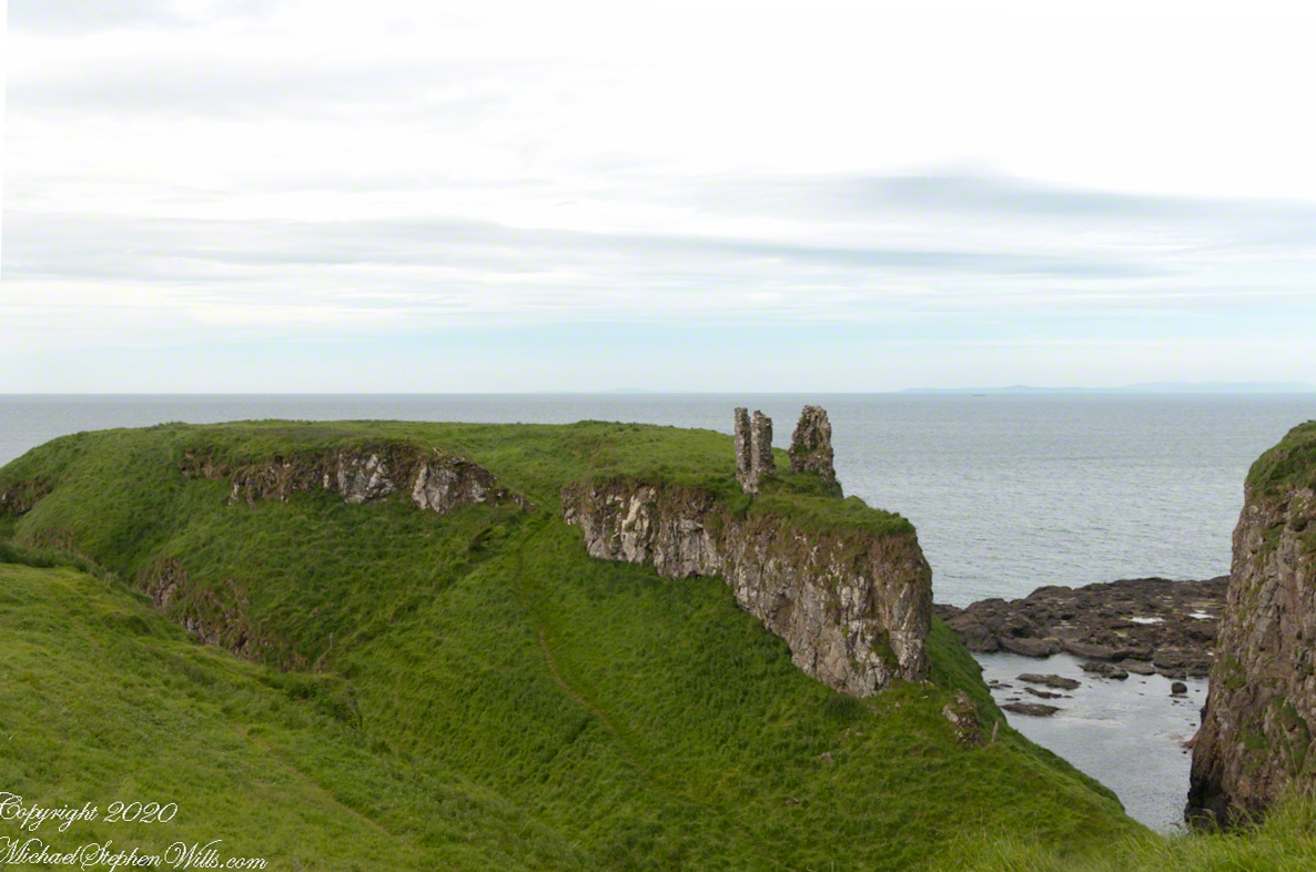
Barrach’s fort no longer exists, a Coast Guard Station was built over the site. There are other intact ruins on this picturesque coast. Here is one close to the Giant’s Causeway, Dunseverick Castle.

Copyright 2022 All Rights Reserved Michael Stephen Wills

Torr Head Stories I

Mysterious Barrach, Knight of the Red Branch

Torr in Irish is a steep rocky height. Likewise, Corr means odd, uneven, rounder, convex, curved, peaked, projecting, smooth. Combined Torcorr is the townland where we stopped on the Torr Road, halted by our wonder at this sight.

In the distance, Torr Head projects into North Channel, the closest land to Scotland. Following the coast, the cliffs in front of Torr Head are home to numerous sea birds such as Fulmars (family Procellariidae) nad Oystercatchers (family Haematopodiadae). Along the rock beaches next Eider Ducks (genus Somateria). You might see the Common Buzzard (species Buto buteo).

Click photograph for a larger view. To do this from WordPress Reader, you need to first click the title of this post to open a new page.

Click me for an earlier Torr Head post “A Bit About Torr Head.”

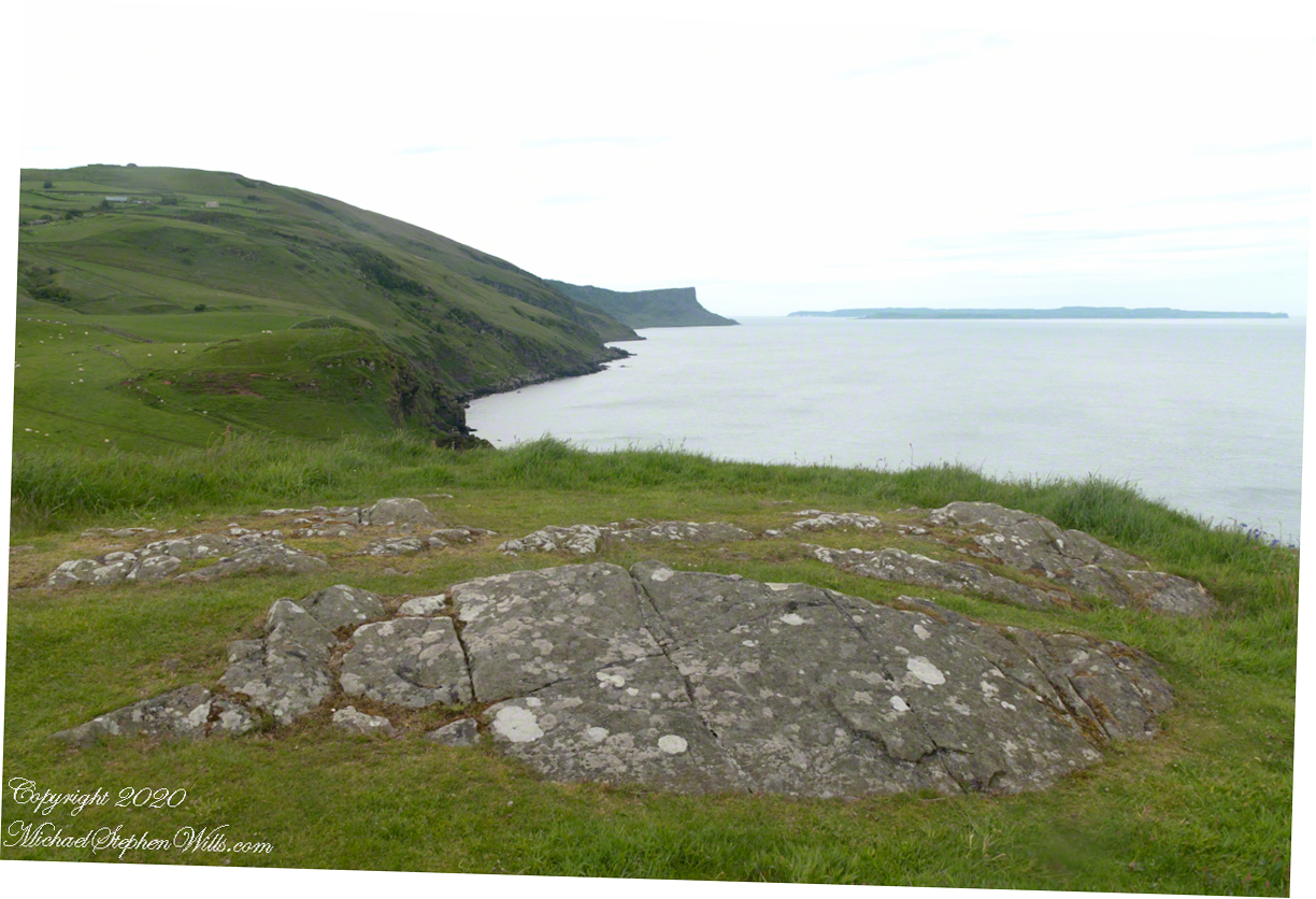
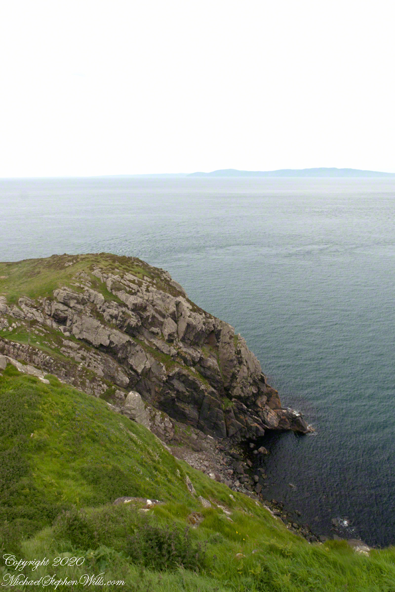
In the following photograph Torr Head seen from immediately above. I stand on the ancient site of Barrach’s fort, a knight of the Red Branch. After some internet research I cannot find another reference to this knight, other than the information placard on Torr Head.

A Bit About Coolranny Townland

Neat and tidy

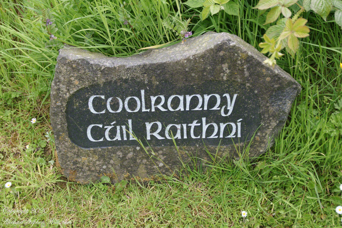
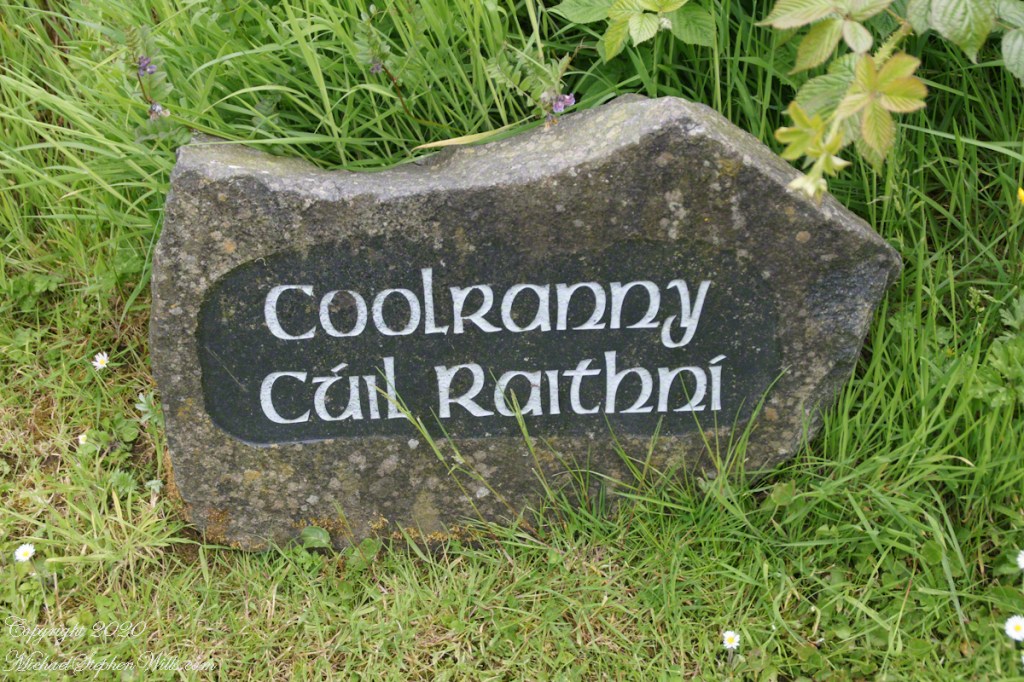
2014, the count of townlands on and around the island of Ireland was 61,098 with most of Irish Gaelic origin predating the Norman invasion, first recorded in 12 century church records. The names have a pride of place reflected in the beauty of the namestones along Torr Road.

Click photograph for a larger view. To do this from WordPress Reader, you need to first click the title of this post to open a new page.

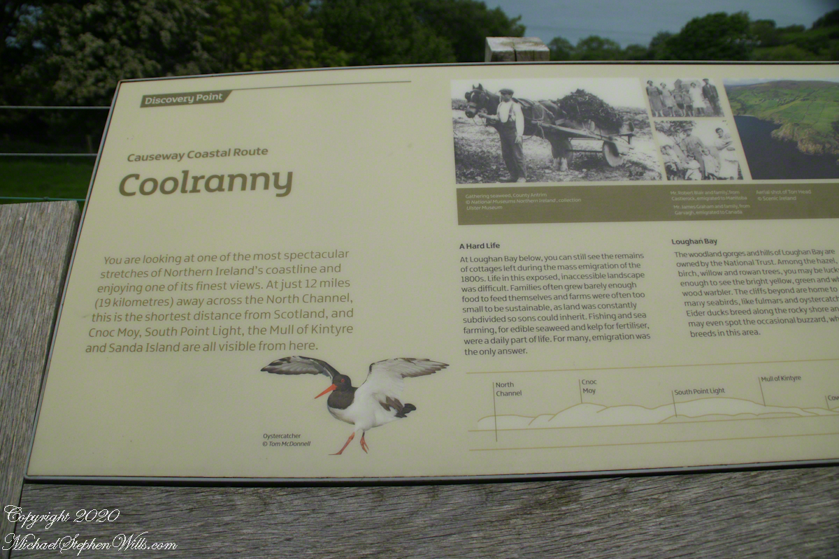
The 82 acres of Coolranny forms a slice of land running from a ridge to Loughan Bay off the North Channel of the Irish Sea across from Scotland.

See this post for a description of wildflowers flowering here in the month of June.

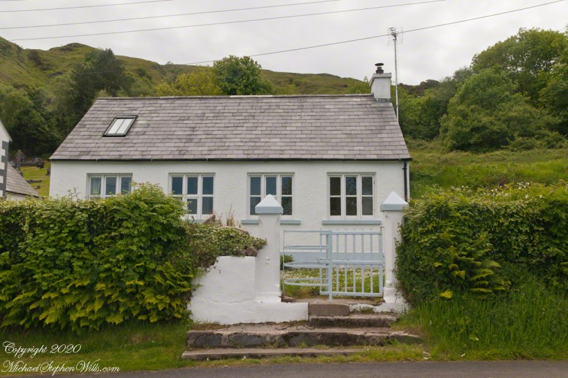
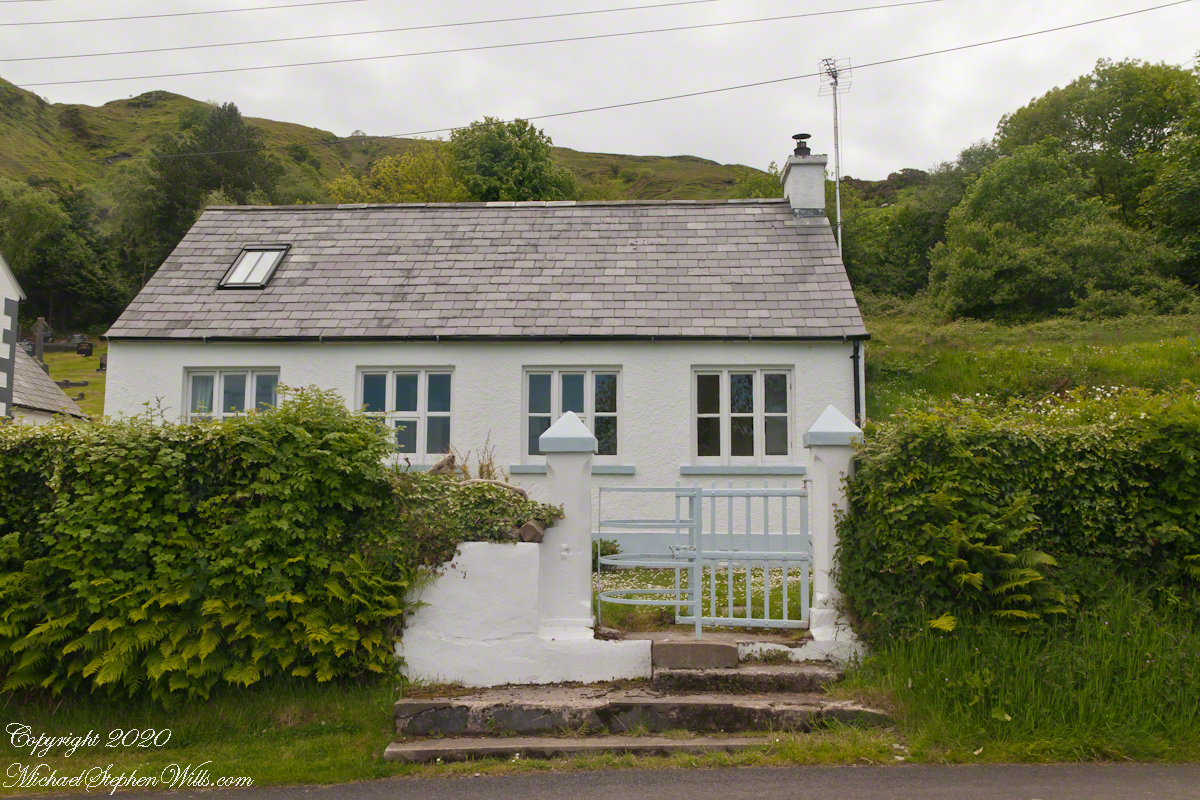
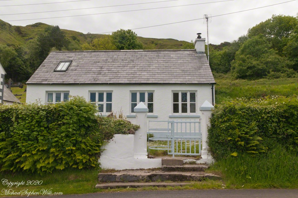
A spic and span cottage on Torr Road, maybe the rectory for the Saint Mary’s Star of the Sea church.

An informative placard.

Here is a slideshow of this post’s images. To visit from WordPress Reader, you need to first click the title of this post to open a new page.
Copyright 2022 All Rights Reserved Michael Stephen Wills

Autumn Ithaca

Cass Park

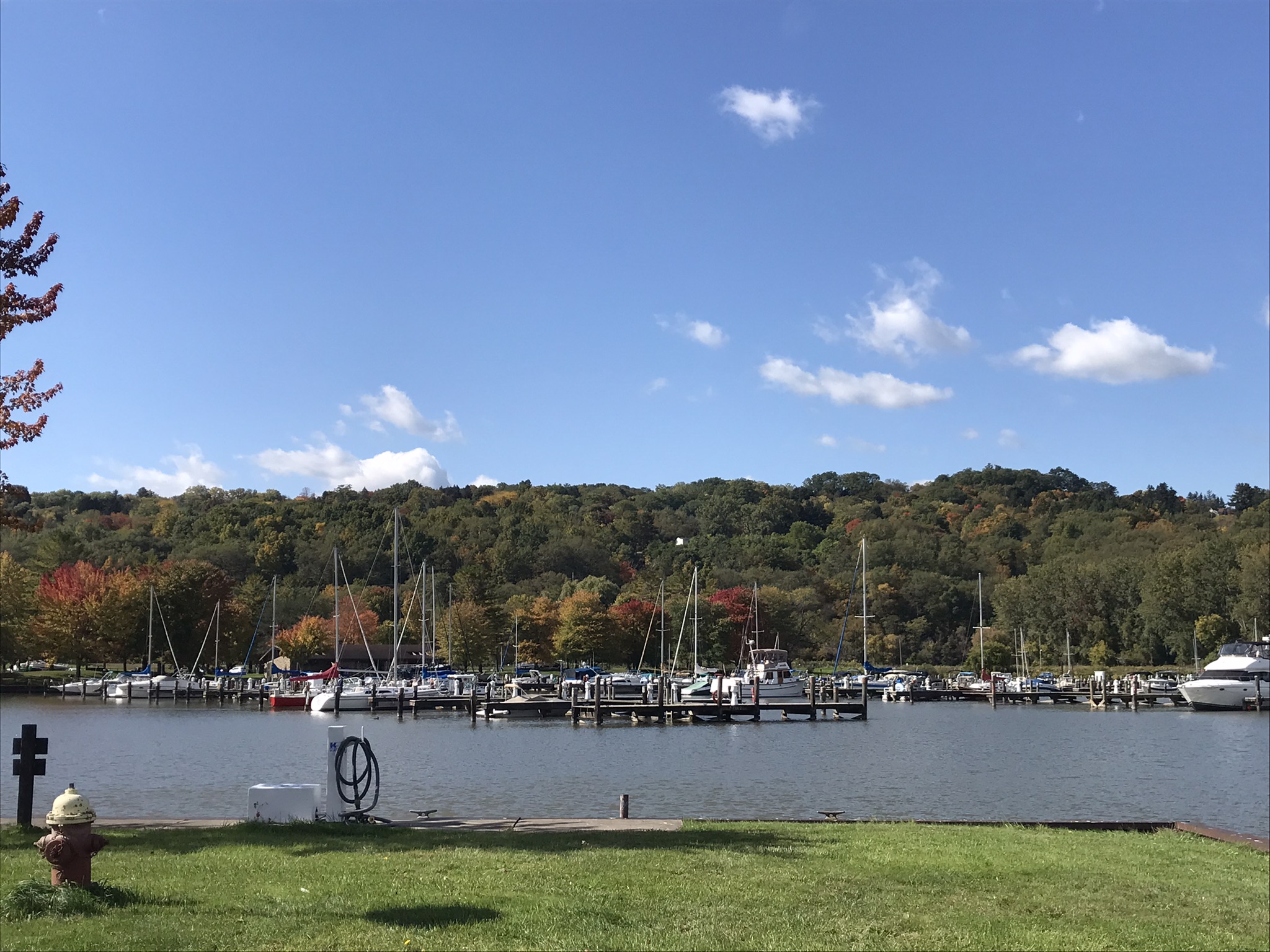
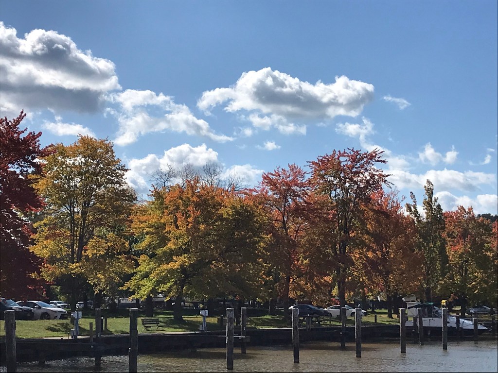
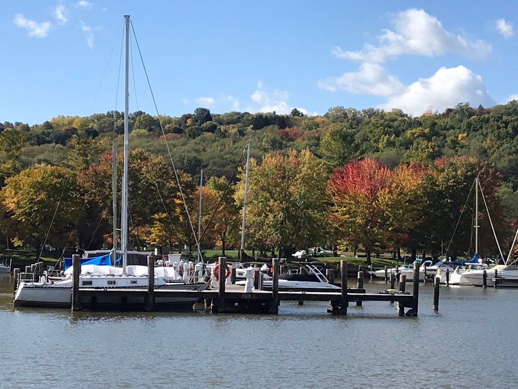
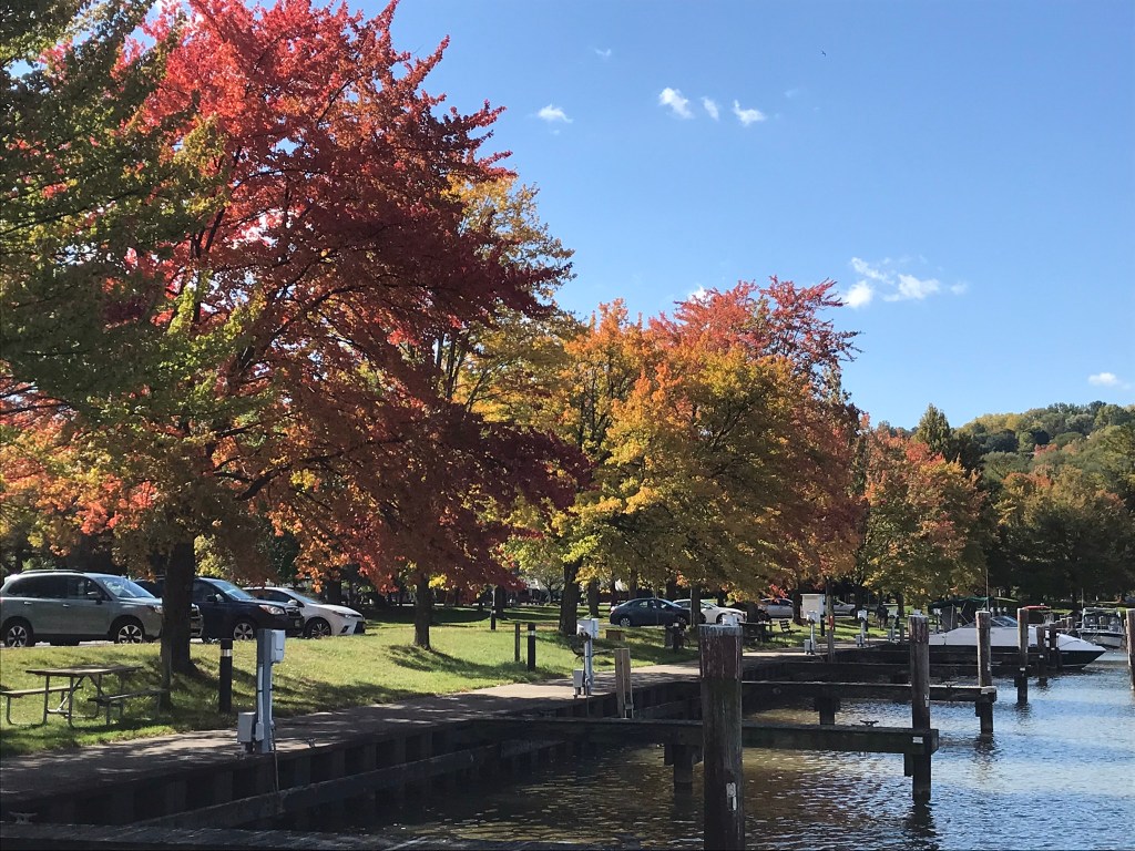
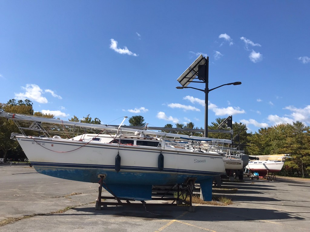
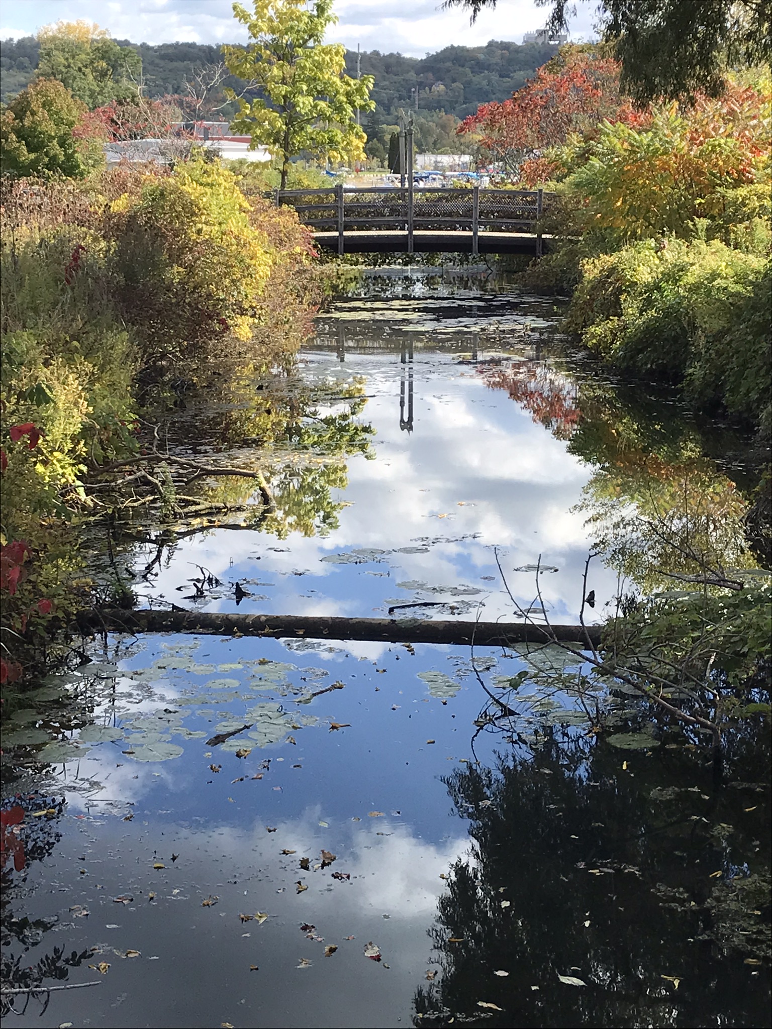
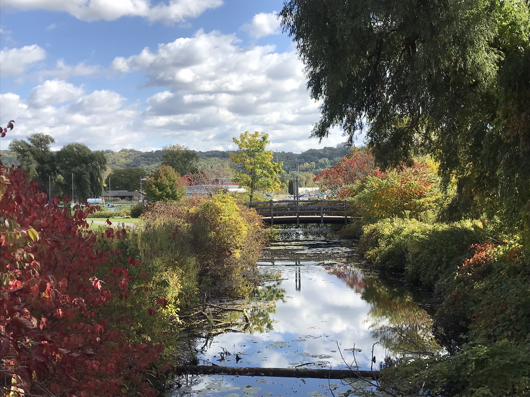
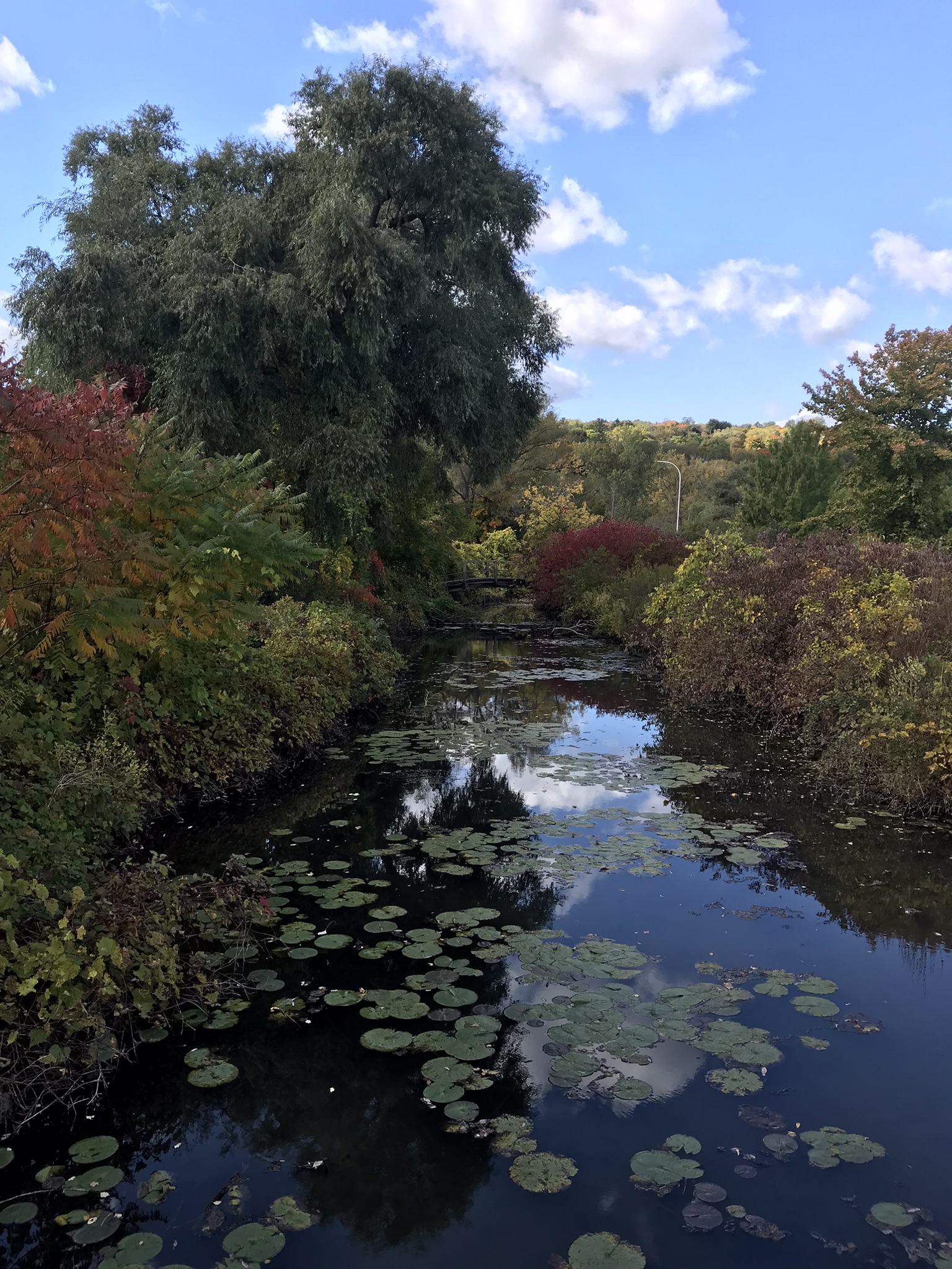
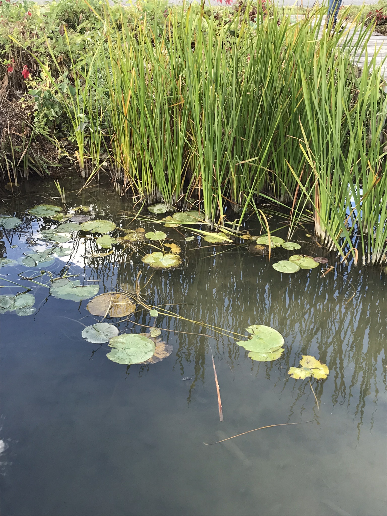
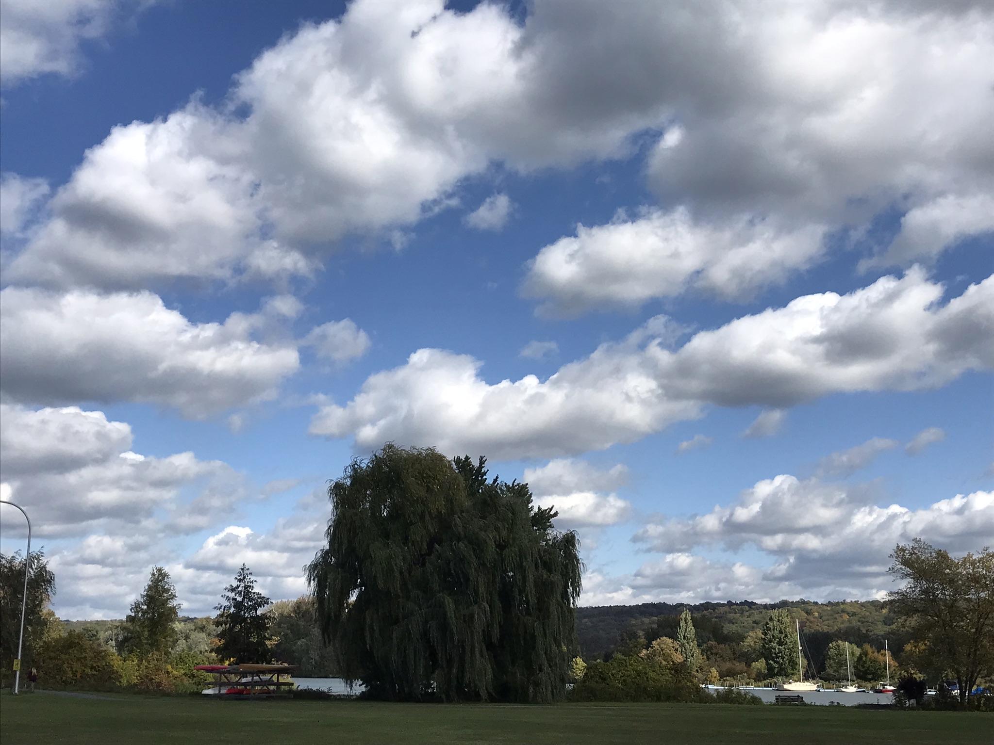
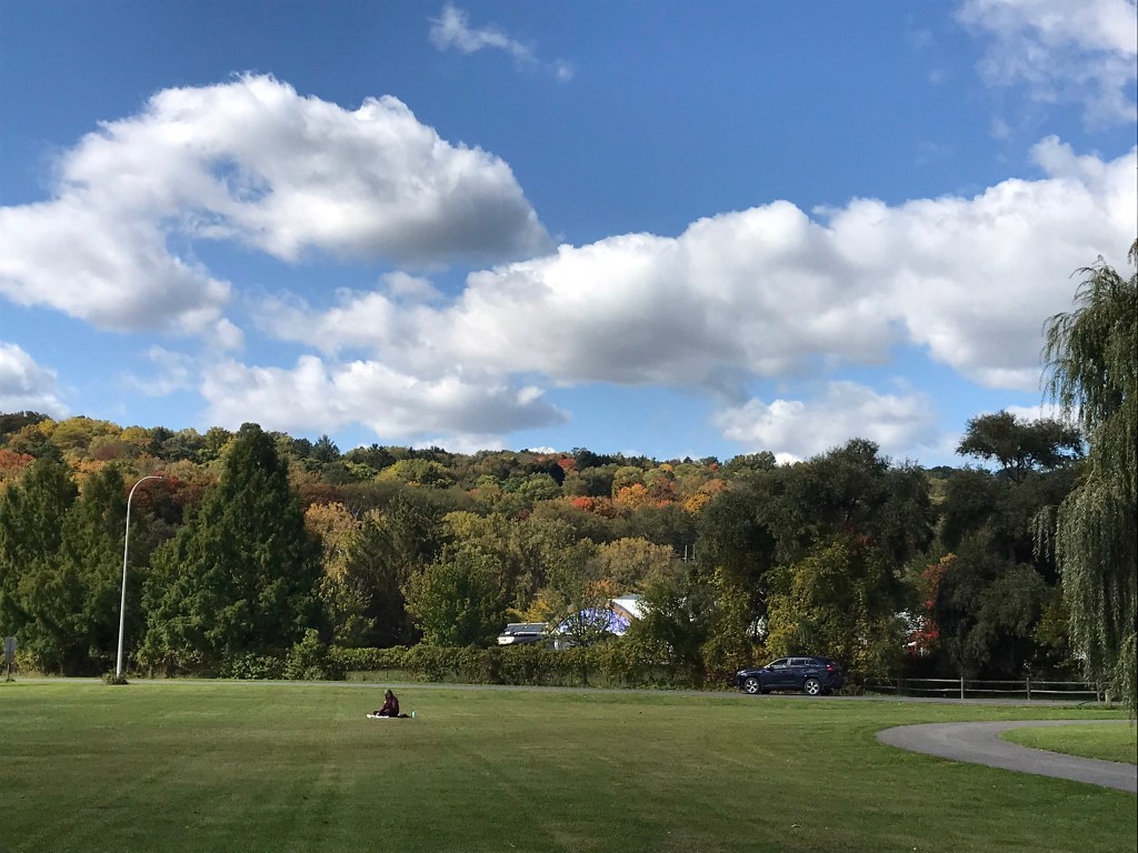
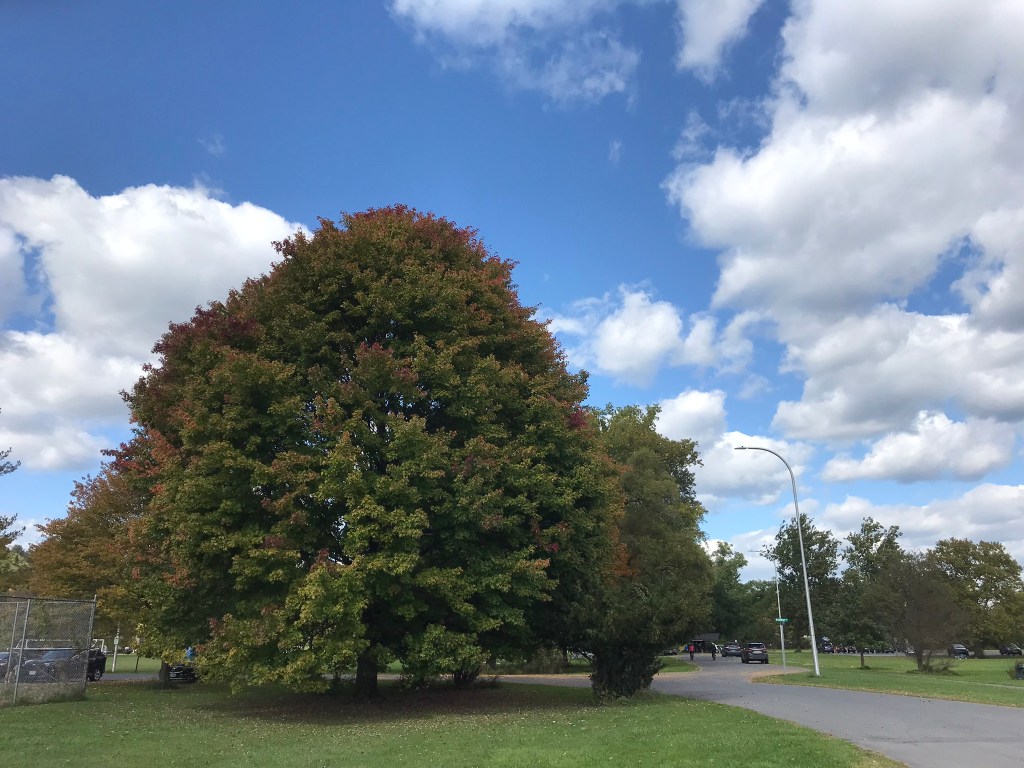
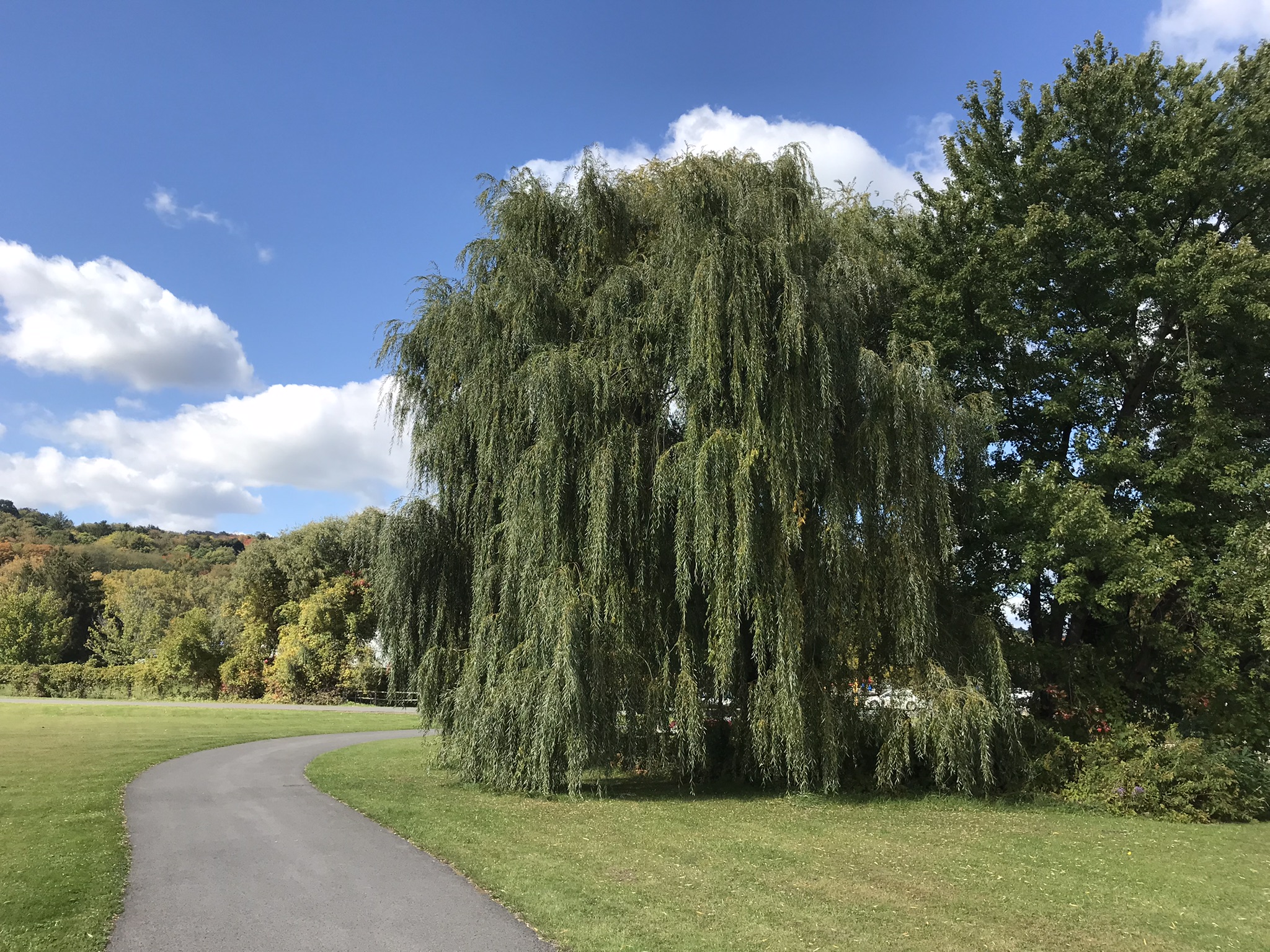
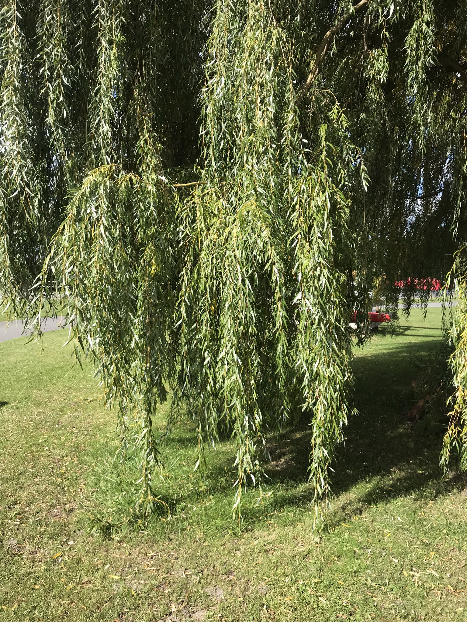
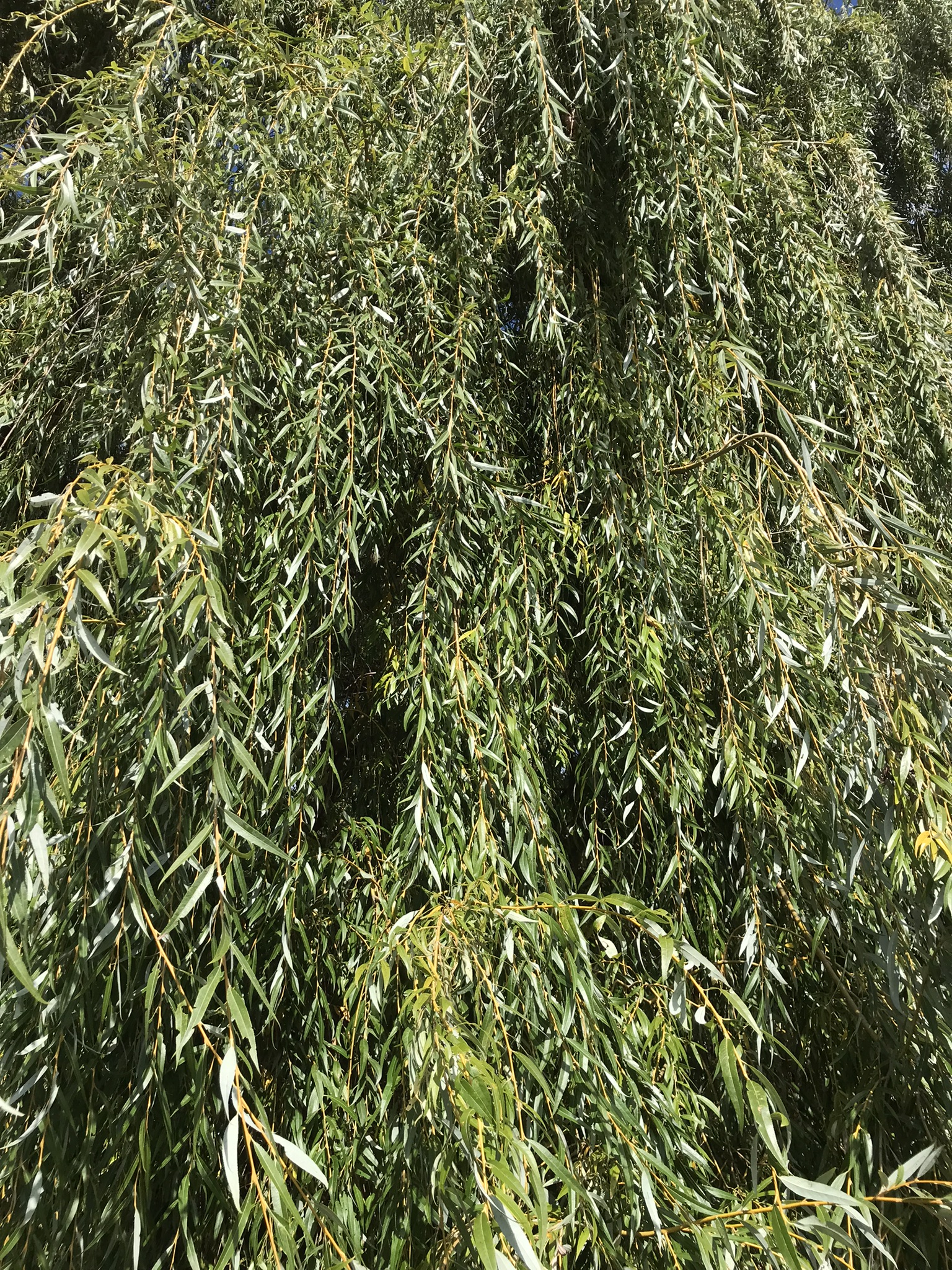
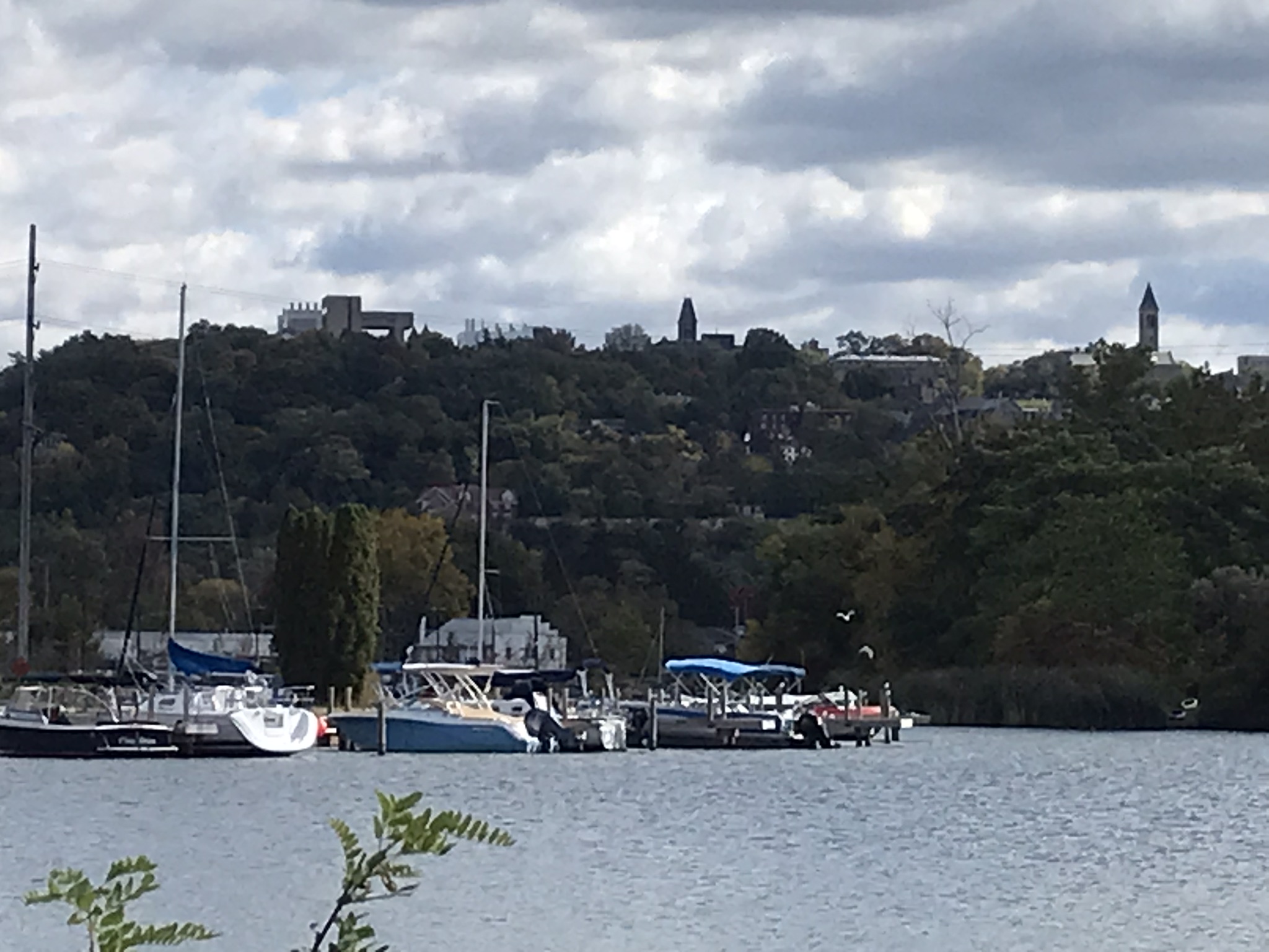
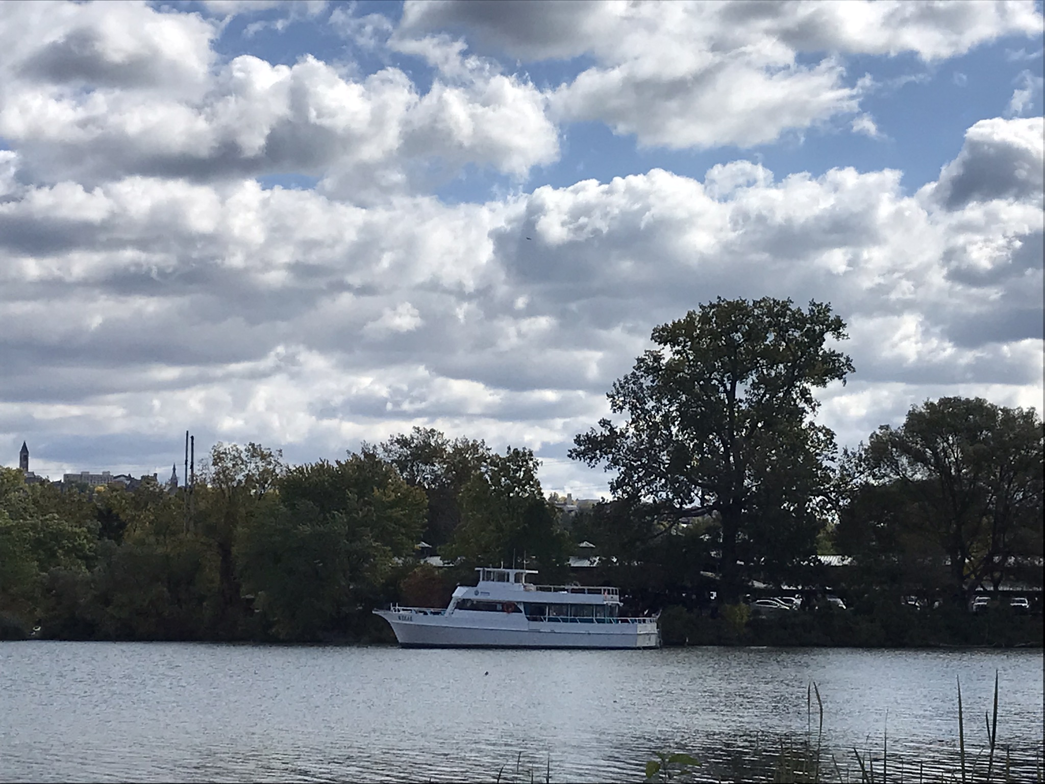
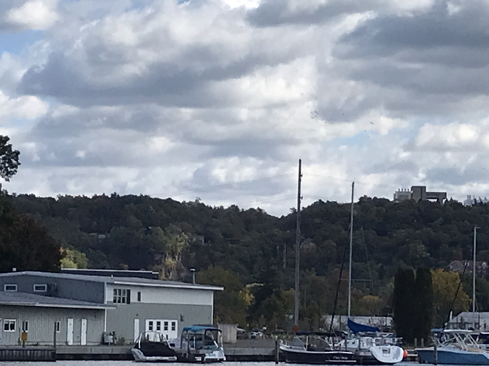
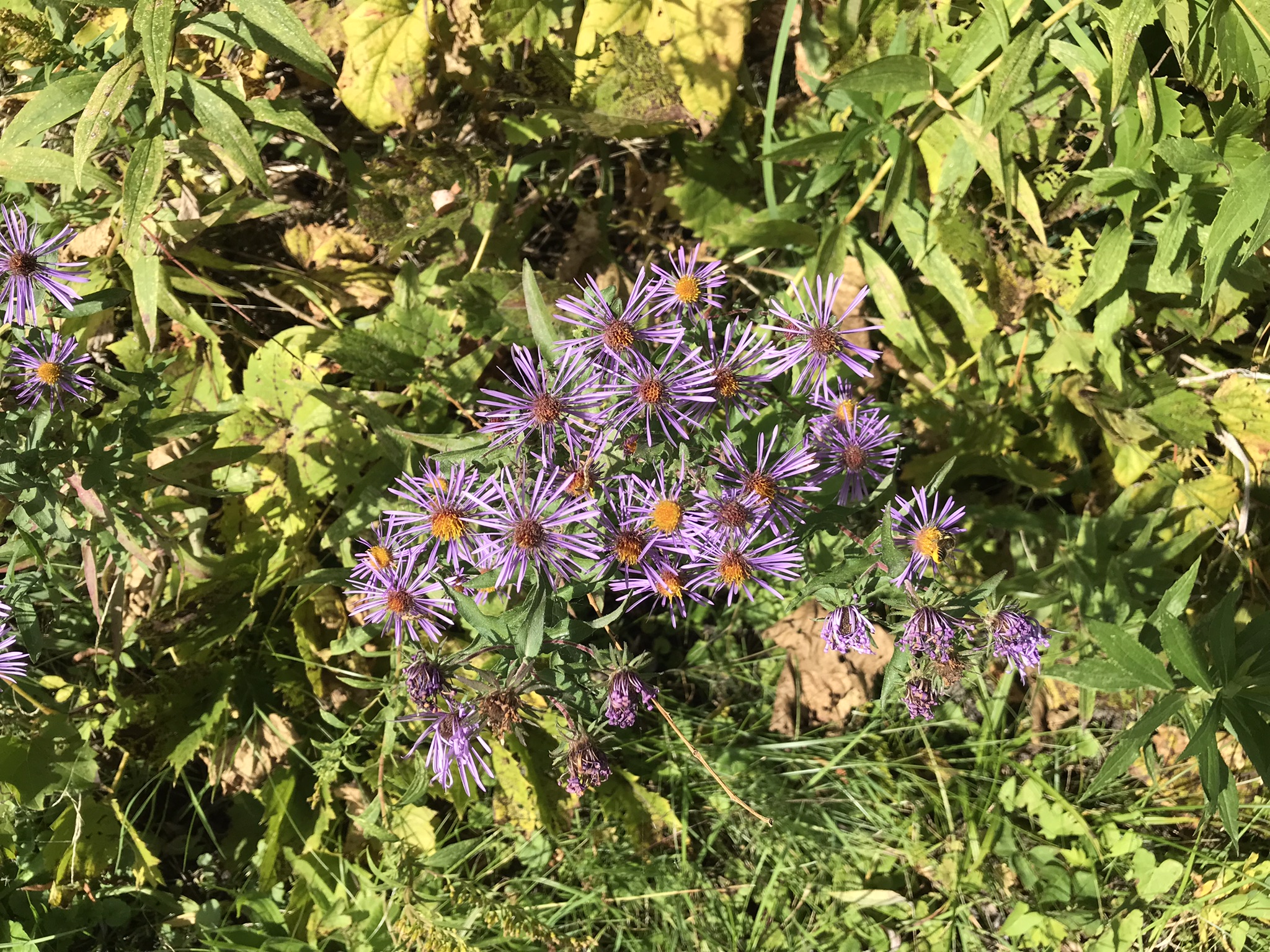
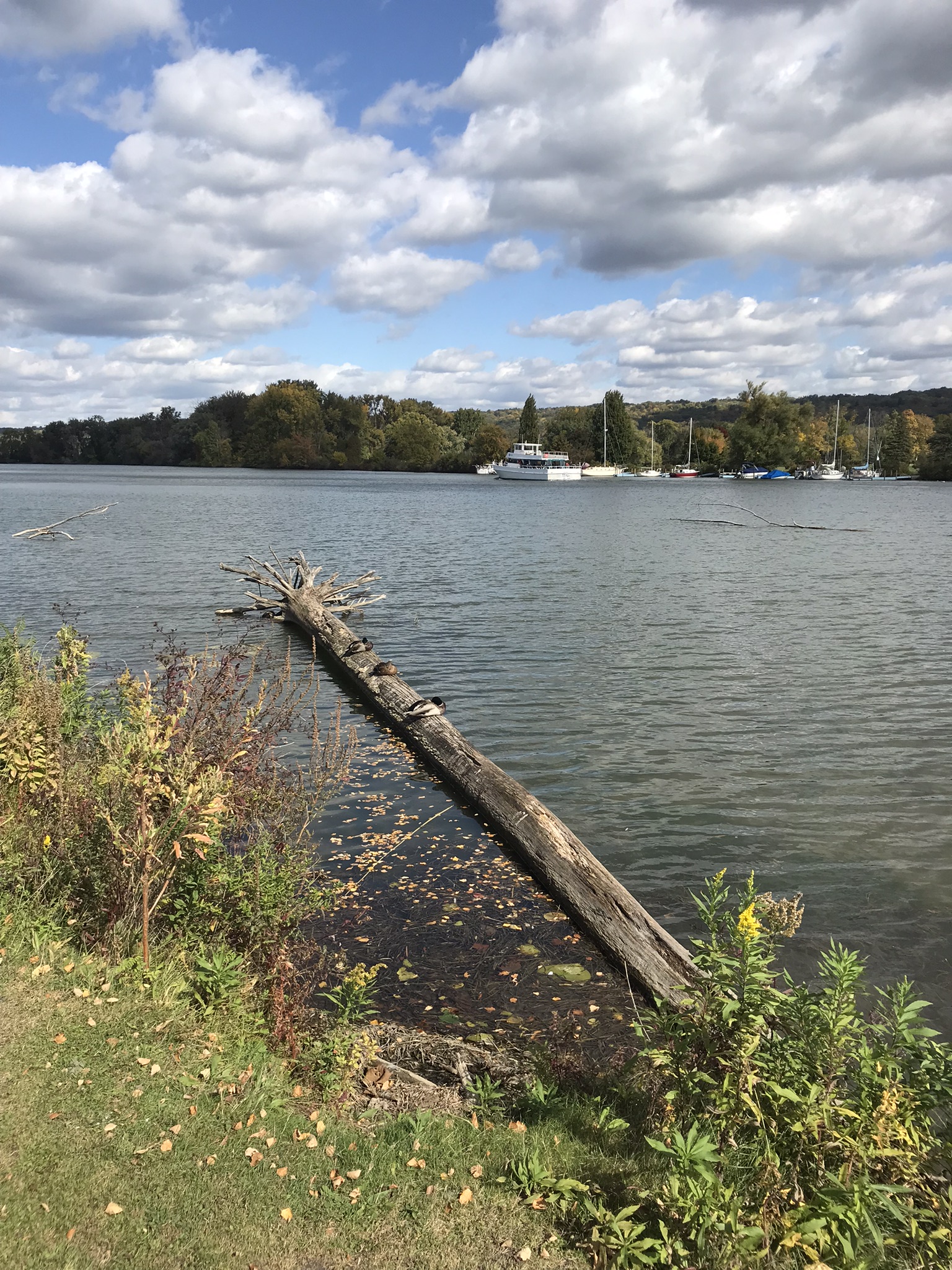
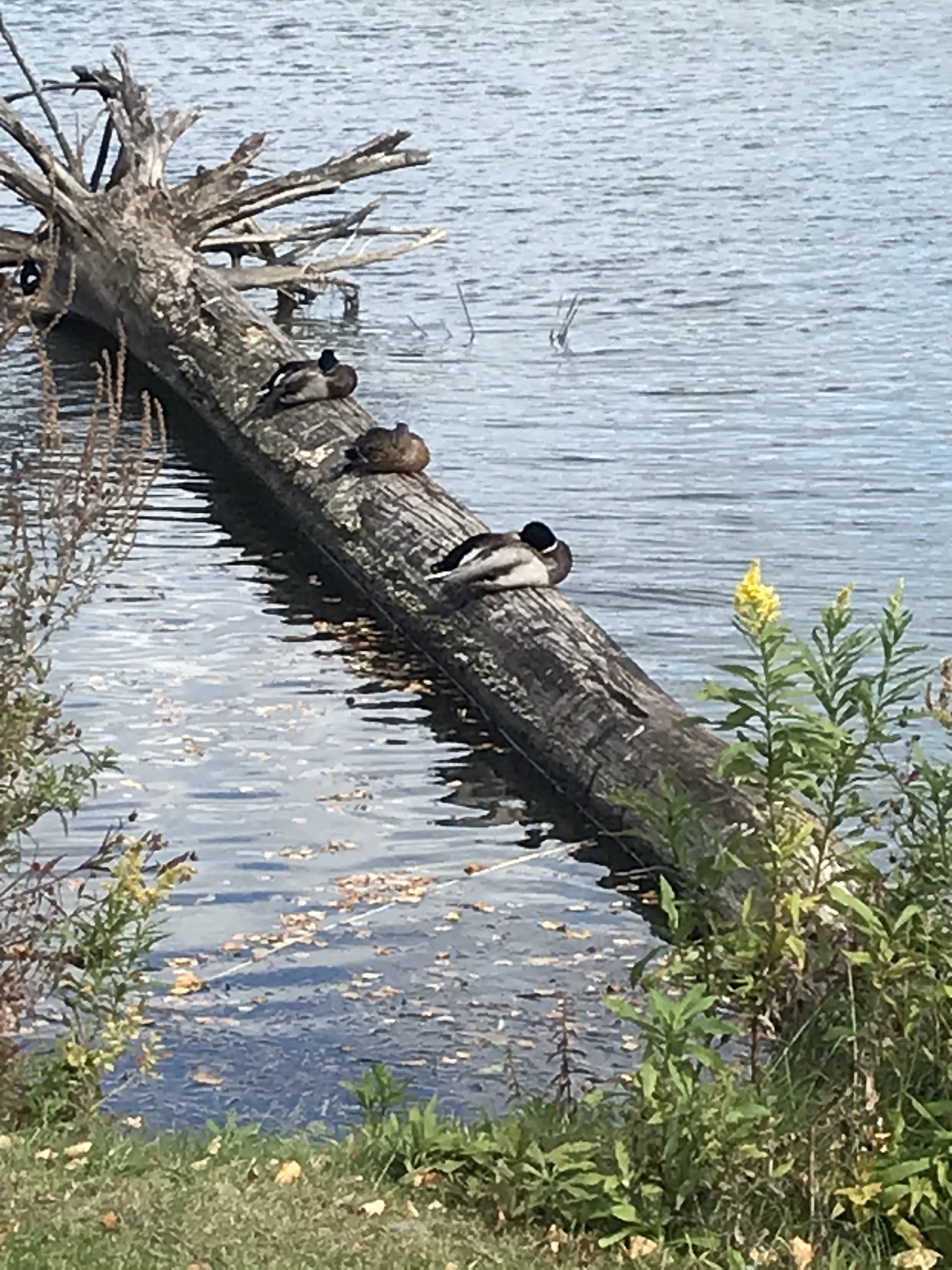
Pam and I arrived early to Cass Park for our grandson’s October afternoon soccer match, in time for a 2 mile walk on the generous footpaths. This is my impression of that time, from the IPhone 7’s camera.

A Packed Excursion Boat Under A Stunning Sky

This completes our Sunday afternoon walk around Cass Park, Ithaca, New York.

Copyright 2022 Michael Stephen Wills All Rights Reserved