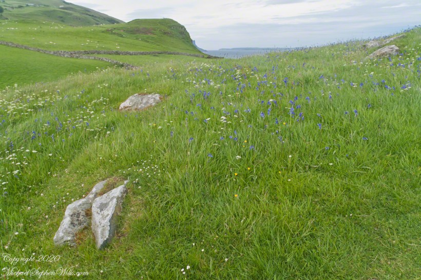
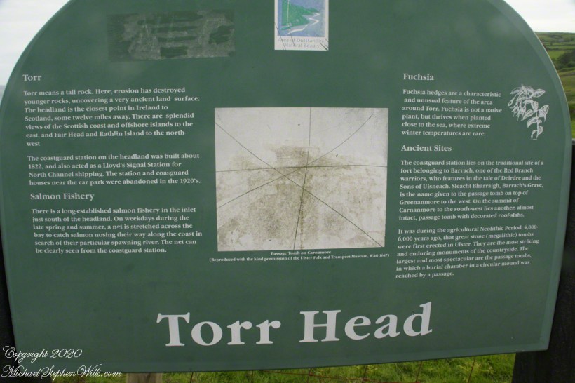
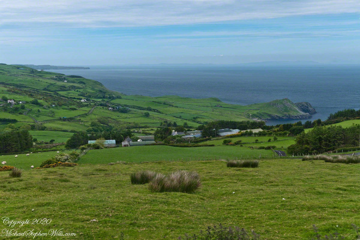
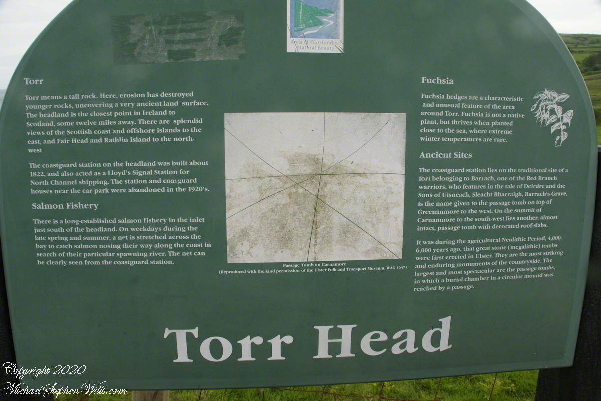
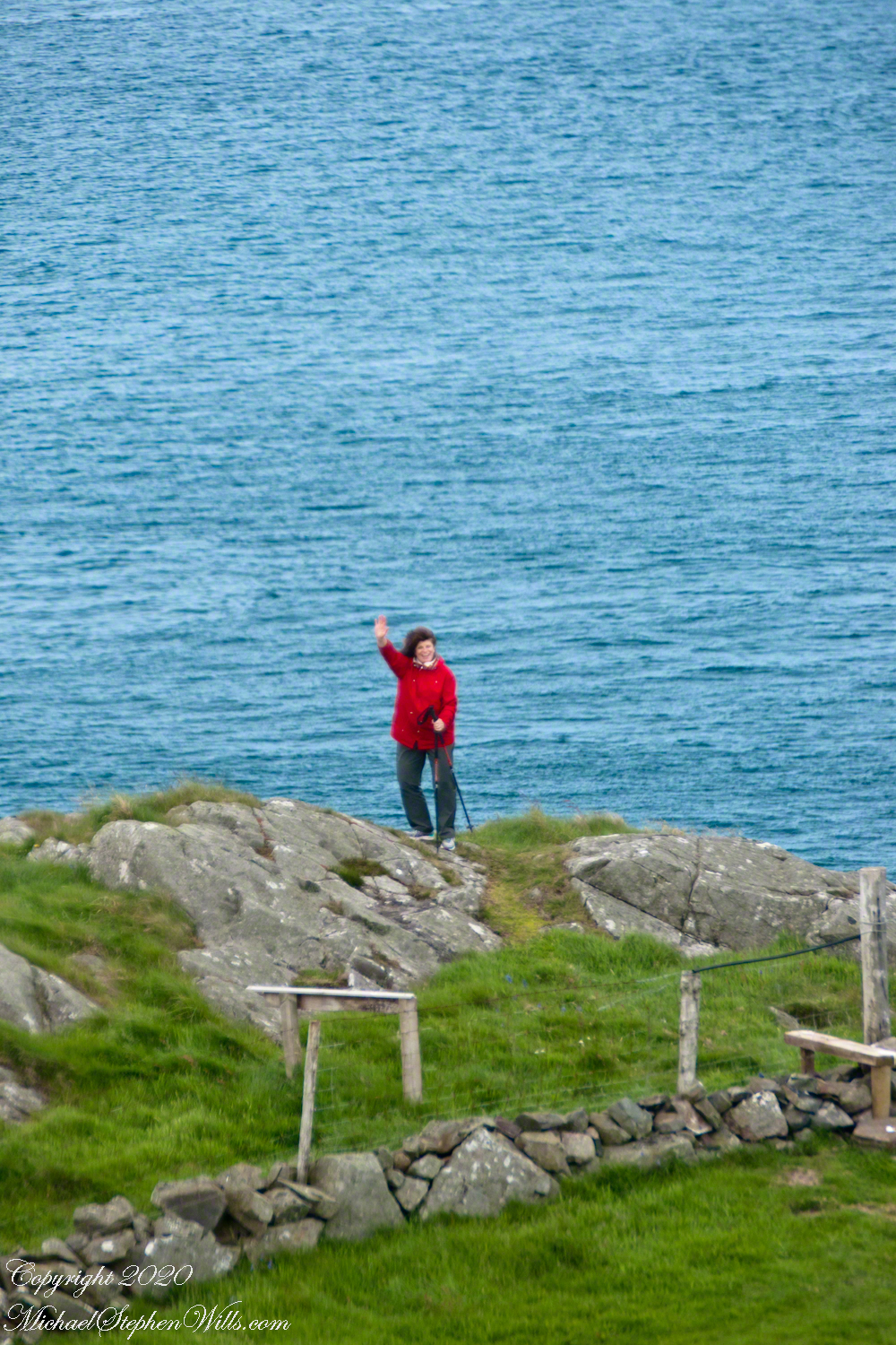
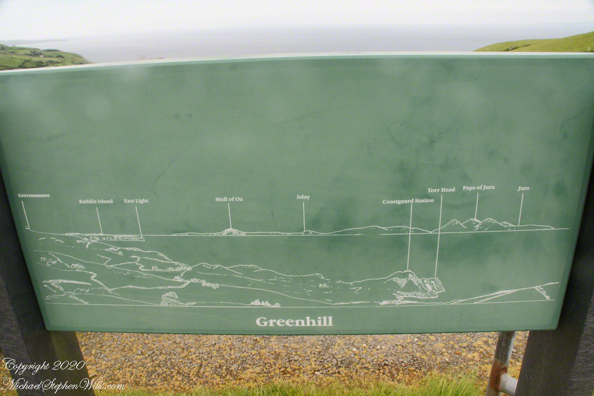
We parked below the Coast Guard station, headed toward the height of Torr Head. I was stopped in my tracks by the hillside meadow wildflower profusion.
Here are a few I identified, listed by common name: Bluebell, Daisy, Meadow Buttercup, Sea Campion, Yarrow. We love daisies and buttercups around home. We spotted Sea Campion on the Dingle Peninsula, as well. Yarrow is common through Ireland. I don’t recall seeing bluebells anywhere else.
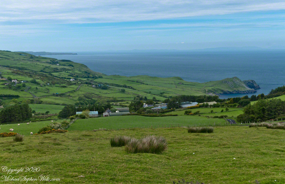
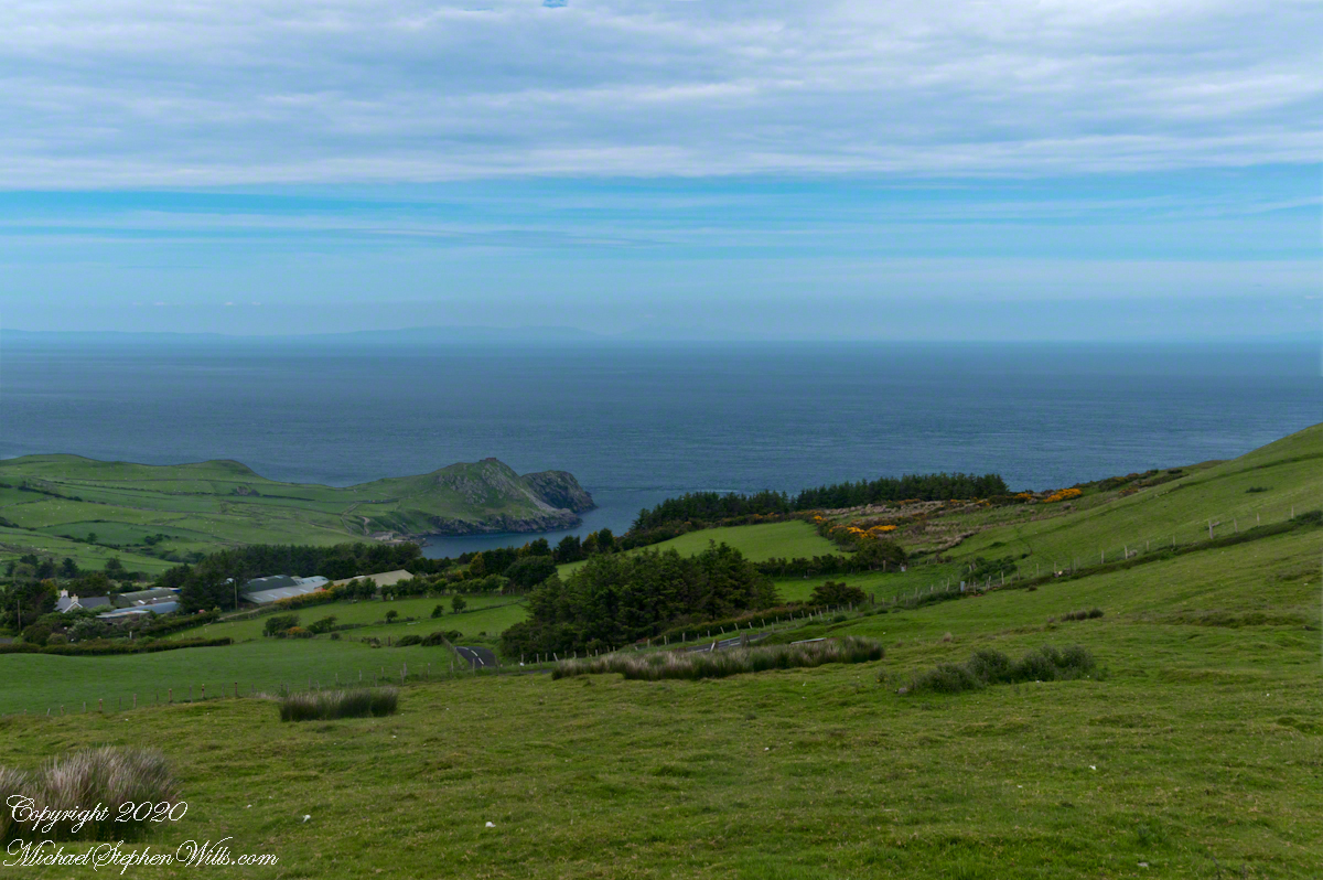
It was the bluebells in this photograph that clued me into why I took a photograph of the hillside. The view north takes in coastal sheep pasture looking on a portion of North Channel and the Irish island Rathelin.
The web page I used for identification was wildflowersofireland.net . Great information and links to the Botanical Society of Britain and Ireland with a distribution map.
Copyright 2022 All Rights Reserved Michael Stephen Wills
There is at least one tanker ship traversing the North Channel. You can just make out the Torr Road we followed through those farm buildings to the parking near the Coast Guard Station.
Here is a gallery for easier flipping between photographs. To do this from WordPress Reader, you need to first click the title of this post to open a new page.
Copyright 2022 All Rights Reserved Michael Stephen Wills
This the fifth and final of a series of landscape photographs taken from this position.
Click photograph for a larger view. To do this from WordPress Reader, you need to first click the title of this post to open a new page.
Slievenaglogh View with road, east
The peak is named, in the English language, Slievenaglogh. It is so strange as it’s not English, being instead a transliteration of the Irish name “Sliabh na gCloch.” This is “Rock Mountain” translated literally. Slievenaglogh is carried to the townland, a long thin swath of land being the peak and associated ridge-line.
The rocks up there are called “gabbro,” a type of magma slowly cooled under ground. Slievenaglog, Slieve Foy across the valley, and the Morne mountains all formed within volcano magma chamber(s) of the Paleocene, 66 million years ago, a time associated with extensive volcanism and the Cretaceous–Paleogene extinction event that gave rise to the current age.
Our younger cousin has been up there, optimistically we left it for a later trip.
Slievenaglogh View, northeastSlievenaglogh View, east northeastSlievenaglogh View, east northeastSlievenaglogh View, north northeastSlievenaglogh View with road, east
This the fourth of a series of landscape photographs taken from this position.
Click photograph for a larger view. To do this from WordPress Reader, you need to first click the title of this post to open a new page.
Slievenaglogh View, north northeast
The distant ridge, Slieve Foy, is the site of a mythic battle from the epic “The Cattle Raid of Cooley” (Irish: Táin Bó Cúailnge).
Pam and I did a circuit of the island, returning to the home of my Mom’s first cousin. Our last full day on Ireland a cousin took us on the Tain Trail, over Maeve’s Gap of Slieve Foy and into Carlingford town.
Our route is partly visible to the right of the ridge, hidden in low clouds.
These are the second and third of a series of landscape photographs taken from this position. See the previous post for the first.
Click photograph for a larger view. To do this from WordPress Reader, you need to first click the title of this post to open a new page.
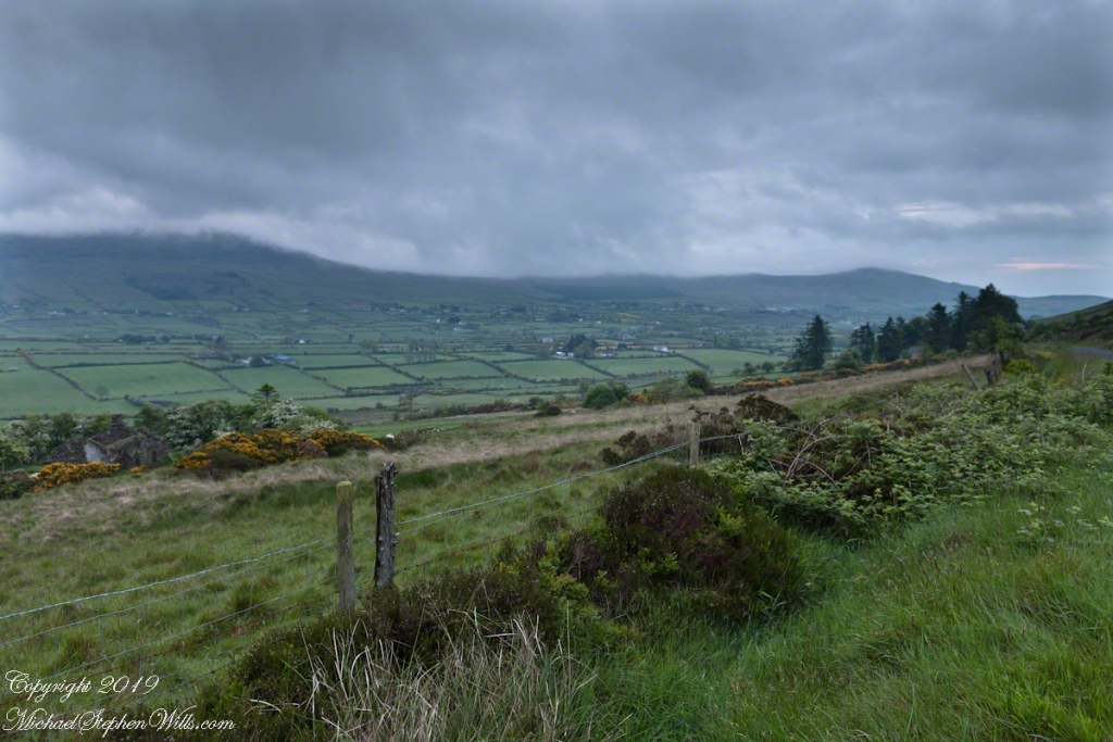
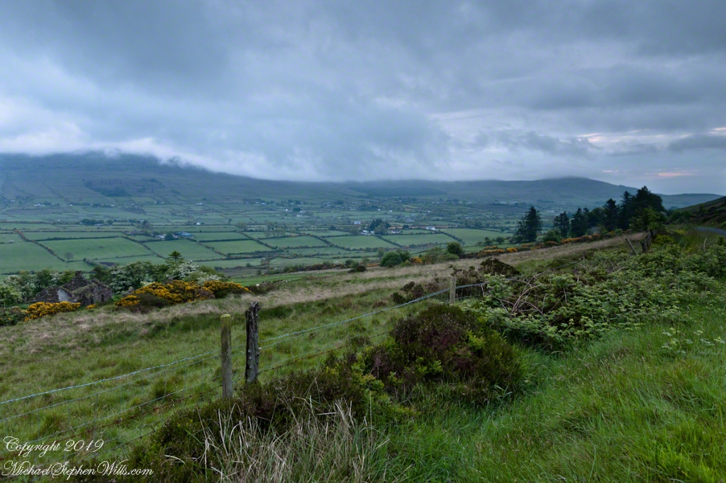
Slievenaglogh View, east northeastSlievenaglogh View, east northeast
I visited here early morning of the Monday Pam and I embarked on a trip around the island of Ireland.
Arrived the previous Saturday when, after some sites between Dublin airport and the Cooley Peninsula, we met my Mom’s first cousin who had invited us for a visit. We had a grand time meeting them.
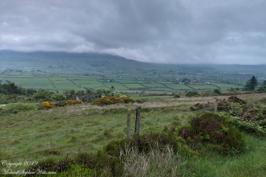
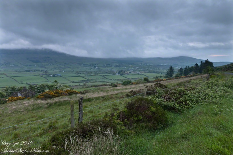
The ruin in this view is on the slopes of the peak. Some of these ruins are former homes with the replacement nearby. This appears to be an abandoned farm.
Slievenaglogh is the name of a peak on the Cooley Peninsula of County Louth, Ireland near to the birthplace of my Mom, Proleek, a few townlands to the west.
Click photograph for a larger view. To do this from WordPress Reader, you need to first click the title of this post to open a new page.
Slievenaglogh View, northeast
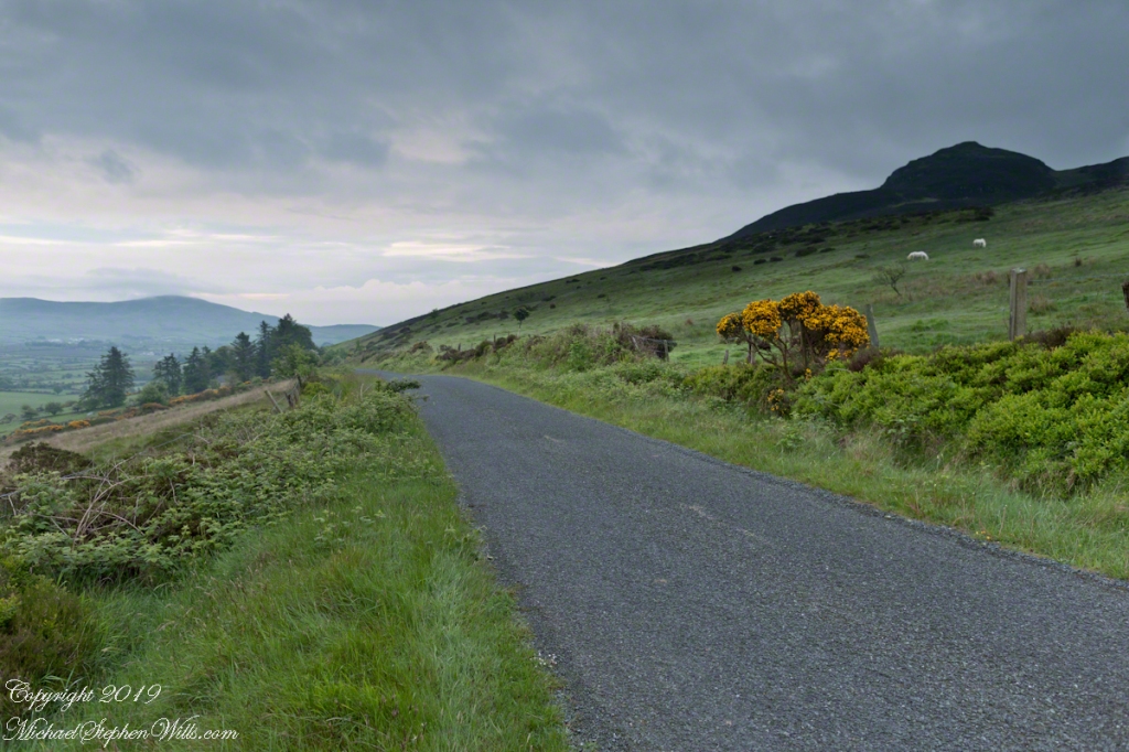
On the northeast slope of Slievenaglogh peak (Irish: Sliabh na gCloch) on the road from Mullaghattin Townland to Riverstown.
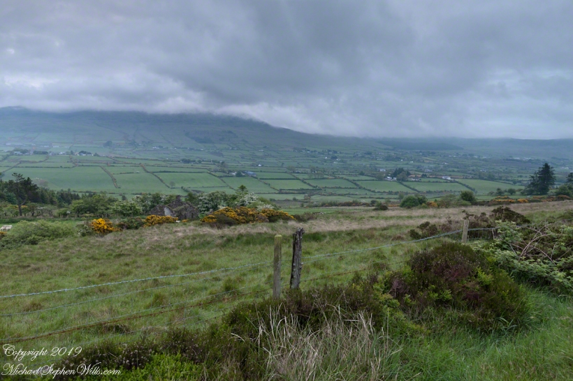
Here we look northeast from the Slievenaglogh Townland, the valley between Slieve Foy and Slievenaglogh peaks.
The view includes Little River, Ballycoly Townland and Castletown River.
Adjacent is a sheep pasture with a farm ruin behind the yellow flowered gorse (whin bush, scientific name Ulex).
Slieve Foy is the far ridge lost in clouds. Early morning, late May 2014.
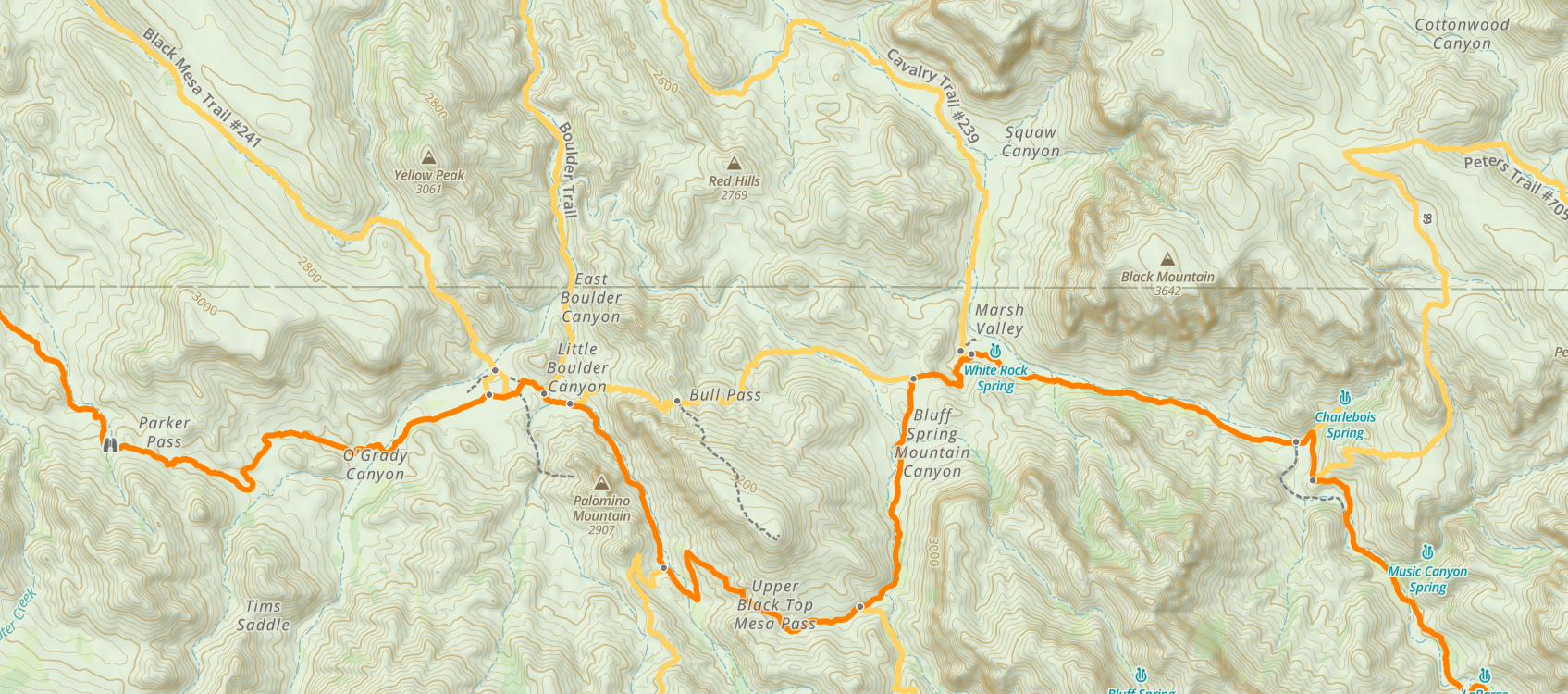
Our second day began in East Boulder Canyon, in the following map it is at the foot of the “Z” of the orange line, the Dutchman Trail, lower left center. The shape is the signature of a switchback needed to negotiate a steep slope up to Upper Black Top Mesa pass. This day will see us traverse Dutchman Trail to the intersection with Peter’s Trail (yellow), another steep climb up Peter’s Mesa.
A topographic map including Yellow Peak with Dutchman Trail in orange. Upper Black Top Mesa Pass lower center.
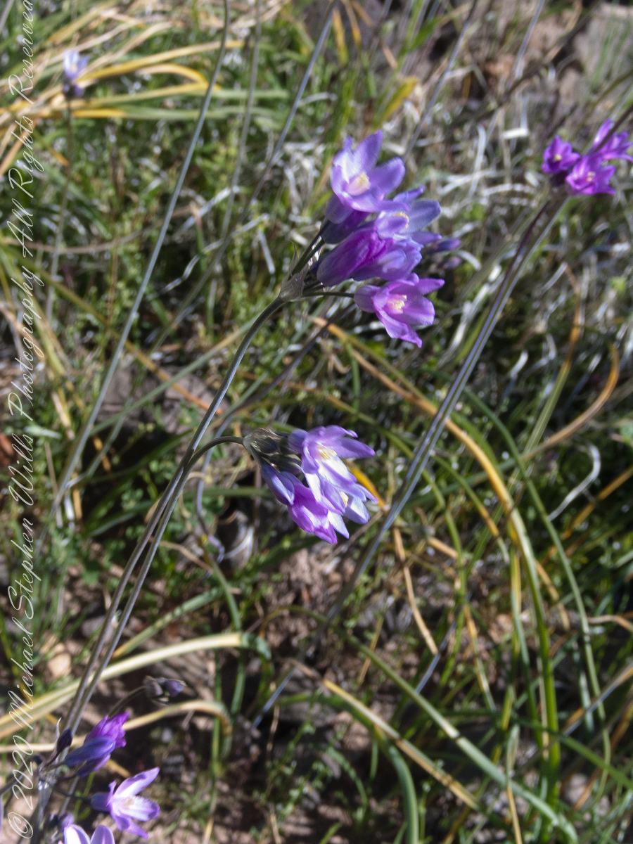
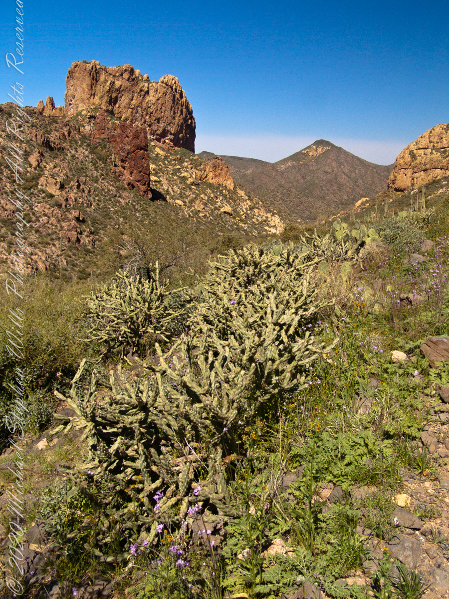
Today’s post features photographs of flourishing Sonoran Desert plants and landscape on the slopes of Black Top Mesa. Dipterostemon capitatus known by the common names blue dicks, purplehead and brodiaea is native to the Western United States (particularly Arizona, California, Oregon, Utah, New Mexico and northwest Mexico.
Dutchman Trail above East Boulder Canyon, Palamino Mountain left, Yellow Peak in distance. We are on the side of Black Top Mesa.
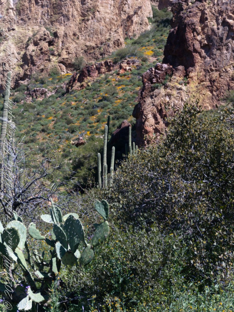
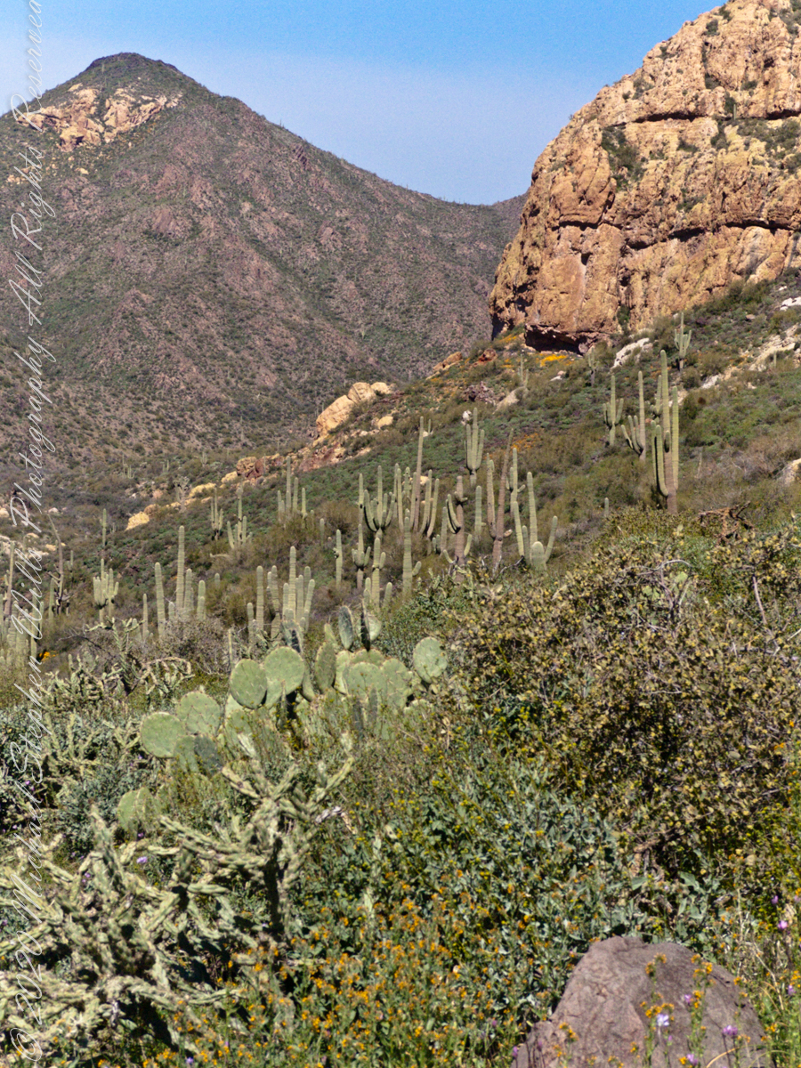
Here I used the “zoom” for a better view of distant Yellow Peak. In foreground is Brittlebush (Encelia farinosa) and Blue Dick. In the distance Saguaro Cactus. Below the cliff of Black Top Mesa, above East Boulder Canyon, is a patch of yellow, Mexican Poppy (Eschscholtzia californica).
Slope of Black Top Mesa above East Boulder Canyon with the distant Yellow Peak.
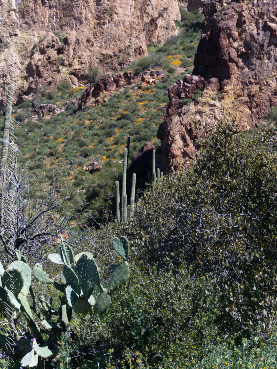
Here is camera, set to zoom, is swung toward the mesa cliffs. Prickly Pear and Brittlebush growing along the Upper Black Top Mesa Pass trail. I have not identified the shaggy shrub above the Brittlebush. In the distance Saguaro Cactus (Carnegiea gigantean) flourishes. Below the cliff are patches of “gold dust”, the Mexican Poppy.
PCliffs of Black Top Mesa
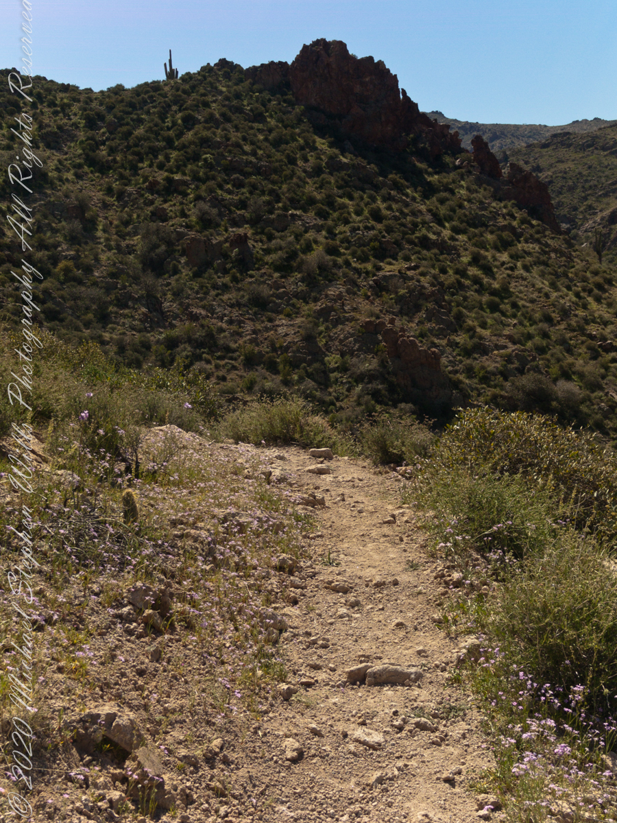
Heading southeast climbing out of East Boulder Canyon with a very young Saguaro Cactus (Carnegiea gigantean) just off trail on left, a large specimen silhouetted on ridge ahead. Windmill Pink (AKA Common Catchfly) (Silene gallica) foreground, lower left. Brittlebush (Encelia farinosa) on both sides.
Upper Black Top Mesa Pass
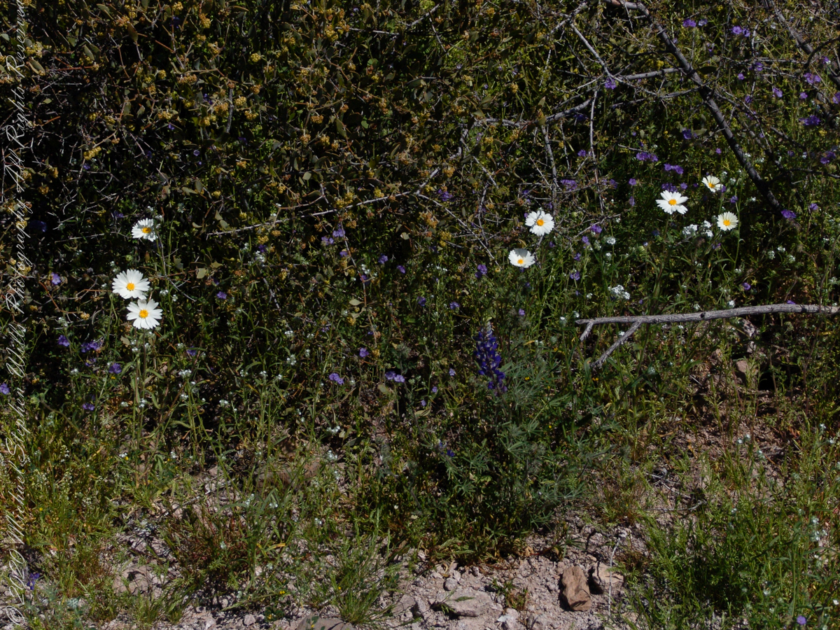
This post ends as it began, with wildflowers growing next to the trailon a March morning. Blue Dicks (AKA Purplehead) (Dipterostemon capitatus), Tidy Tips (Layia) — daisy like flower, Brittlebush flowers are yellow when not dried. The larger small white flowers are Desert Phlox (Phlox austromontana) — I have not identified the tiny white flowers sprinkled around.