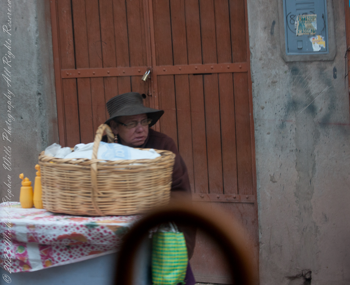
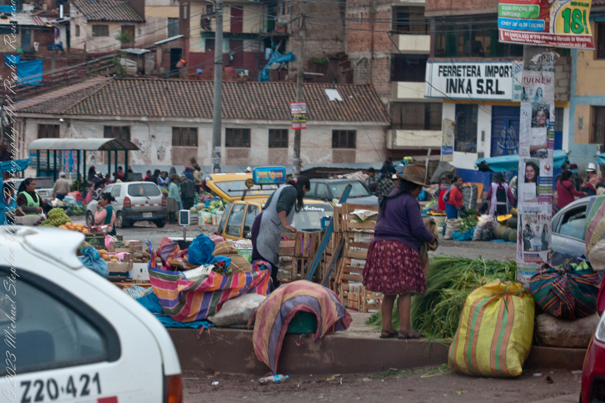
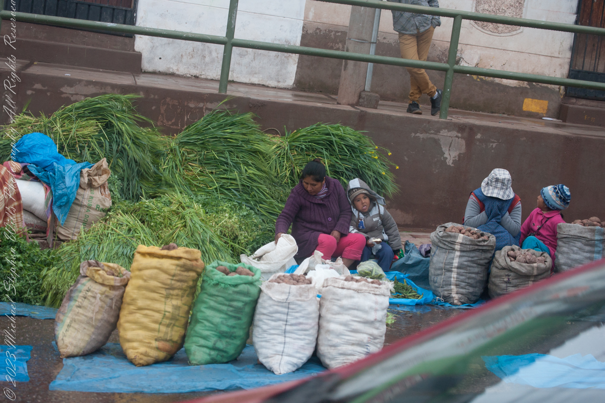
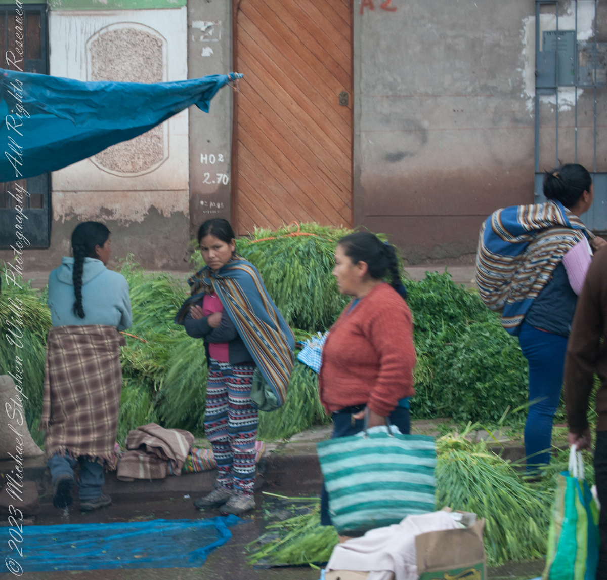
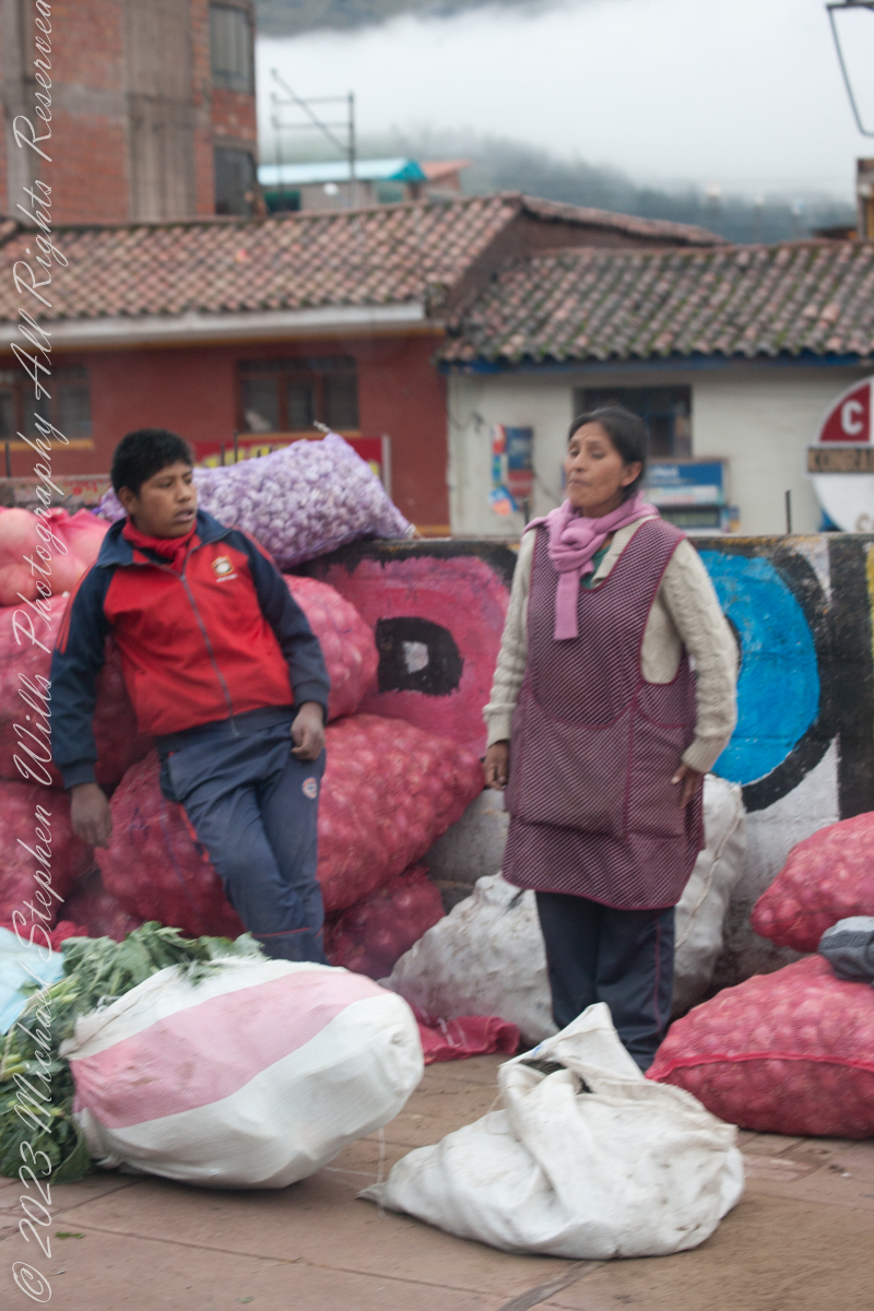
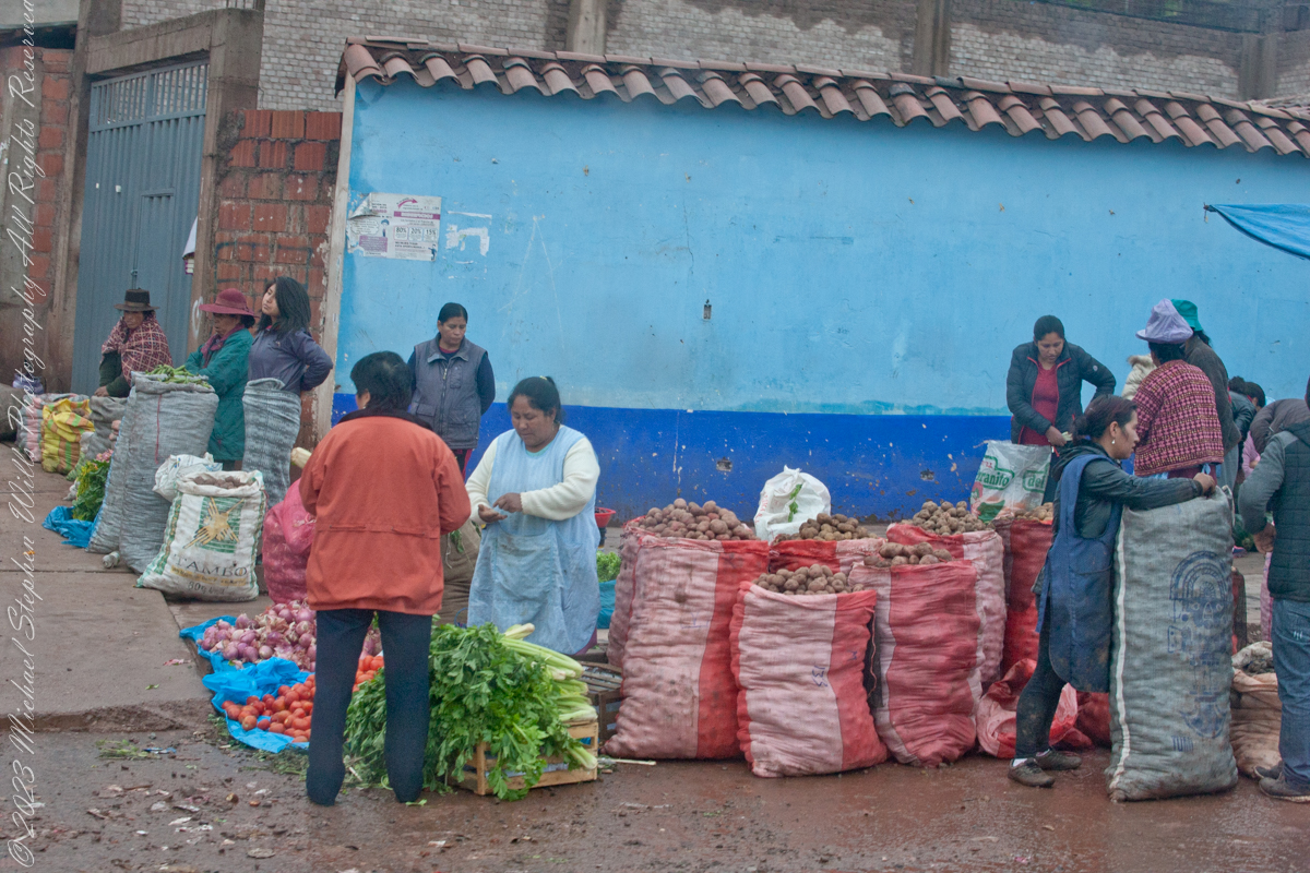
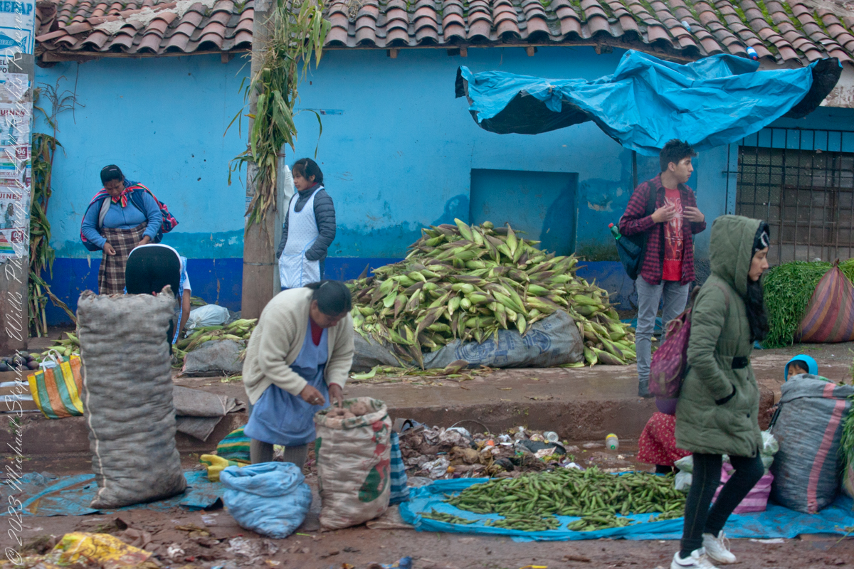
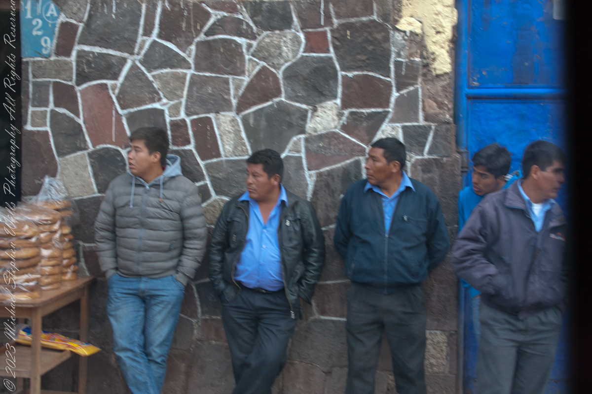
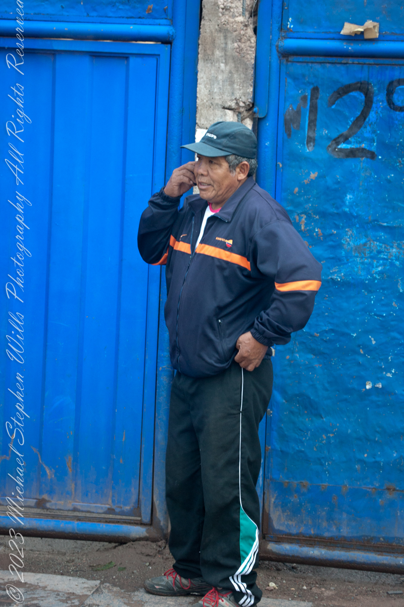
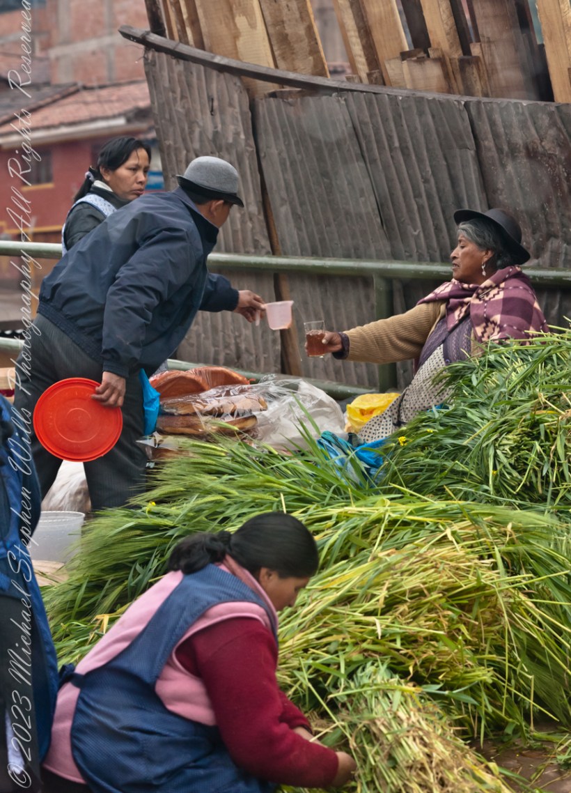
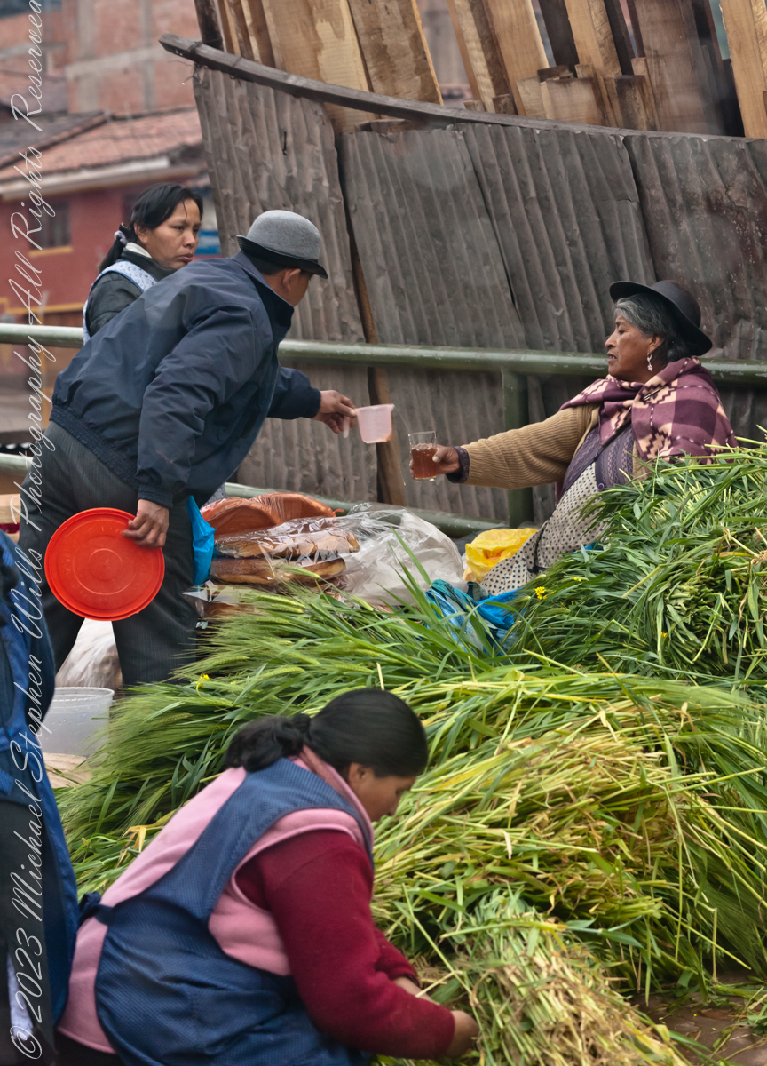
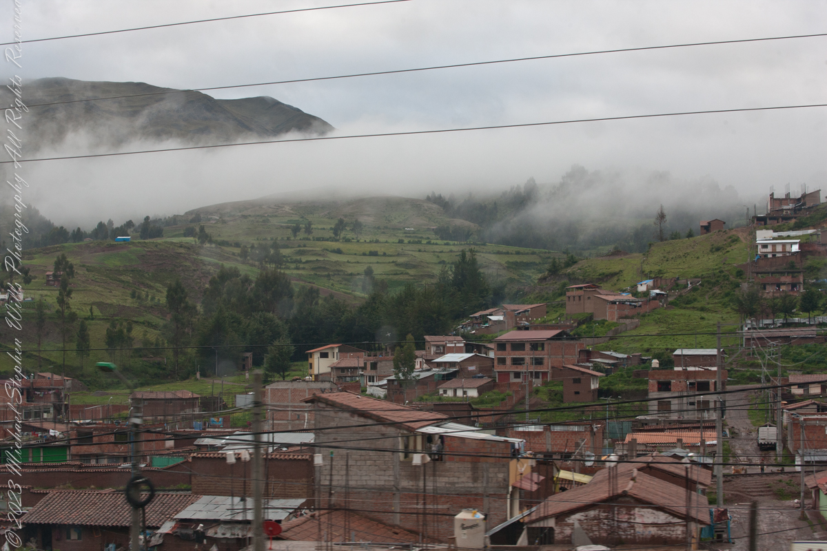
Here we are, passing the outskirts in the hills surrounding Cusco, Peru. Route 3S, going under various names. Highland Road (North) (Longitudinal de la Sierra Norte)Highway, climbs out of Cusco in broad switchbacks.
Click Me for my Online Gallery
View of terraced fields from route 3S through the hills above Cusco, Peru. “In the South American Andes, farmers have used terraces, known as andenes, for over a thousand years to farm potatoes, maize, and other native crops.“
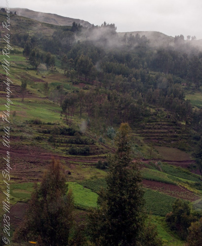
“Terraced farming was developed by the Wari culture and other peoples of the south-central Andes before 1000 AD, centuries before they were used by the Inca, who adopted them. The terraces were built to make the most efficient use of shallow soil and to enable irrigation of crops by allowing runoff to occur through the outlet. The Inca people built on these, developing a system of canals, aqueducts, and puquios to direct water through dry land and increase fertility levels and growth. These terraced farms are found wherever mountain villages have existed in the Andes. They provided the food necessary to support the populations of great Inca cities and religious centers such as Machu Picchu.“
Reference: “Terrace (earthworks)” Wikipedia