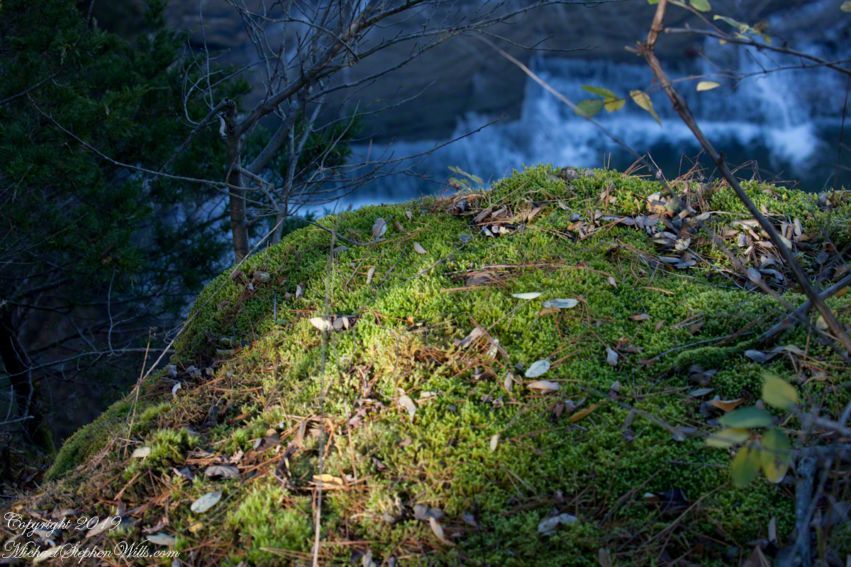
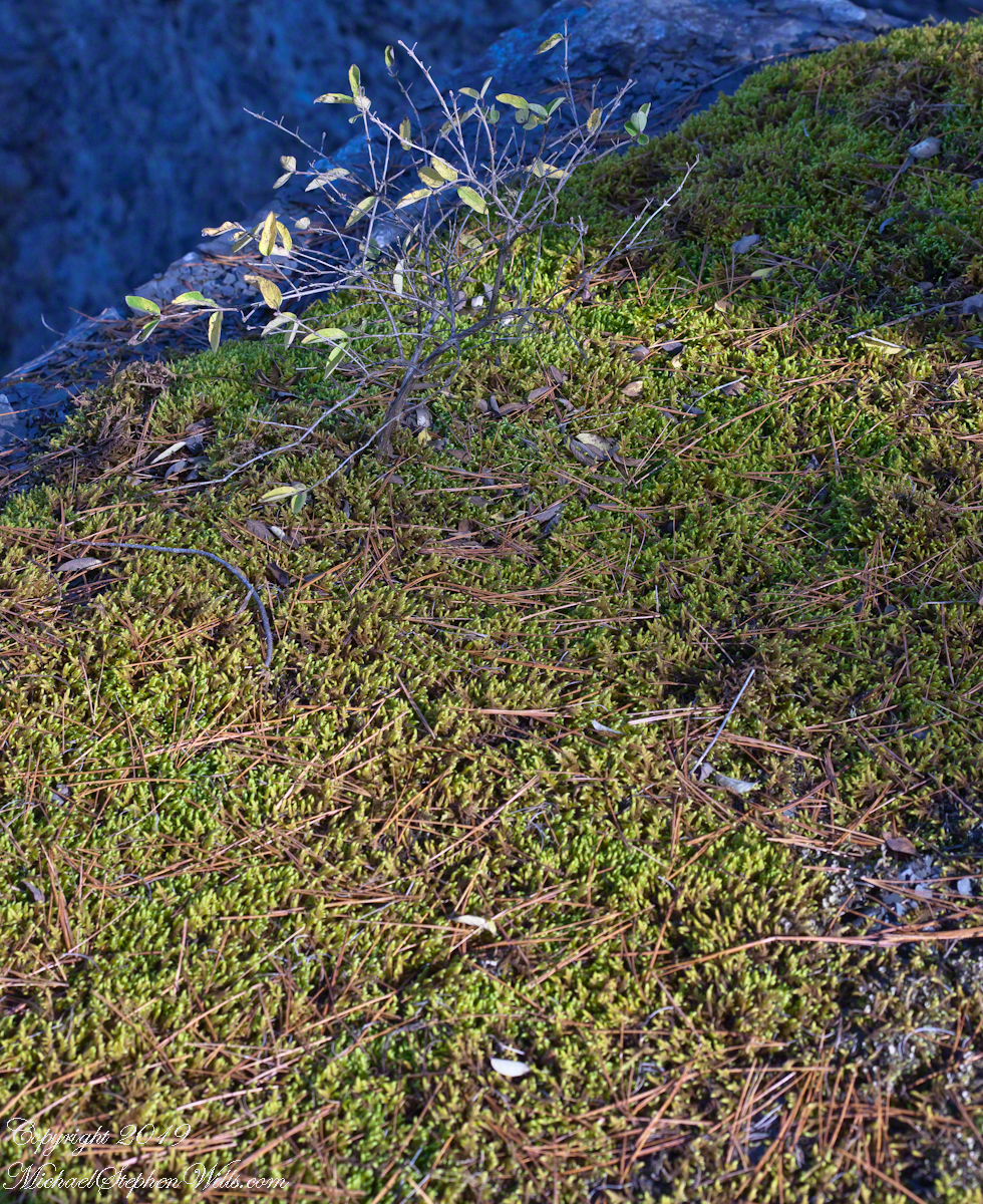
After leaf fall abrupt emptiness of Taughannock Falls is visible from the south rim. Beyond, you can just make out the enormous carved limestone slabs that protect visitors from the constant infall from the gorge walls allowing them to approach the falls.
Click photograph for a larger view. To do this from WordPress Reader, you need to first click the title of this post to open a new page.
The Brink
Copyright 2019 All Rights Reserved Michael Stephen Wills
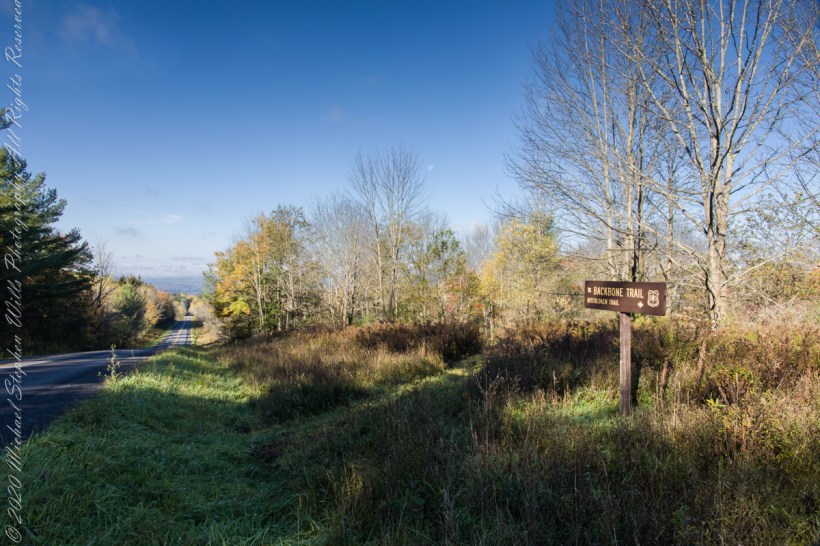
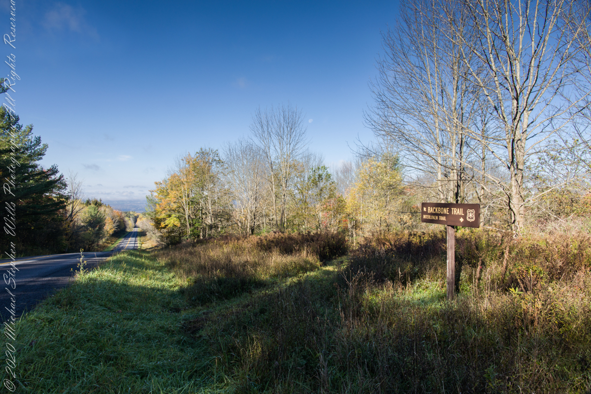
An open road, autumn morning, a hiking trail under a setting moon. Thirty miles of hiking trails thread these 16,212 acres. Some, like the Backbone trail, traverse farmland reverted to forest and meadow, popular for horseback riding.
Click photograph for a larger view. To do this from WordPress Reader, you need to first click the title of this post to open a new page.
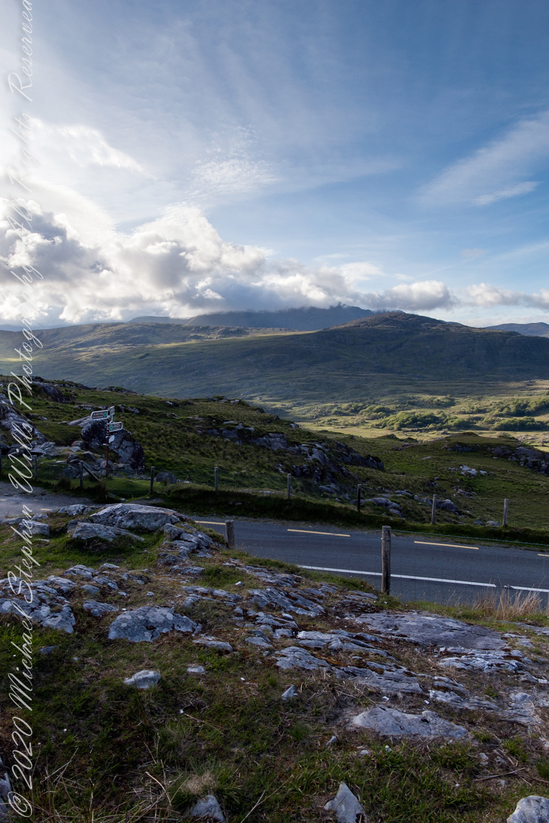
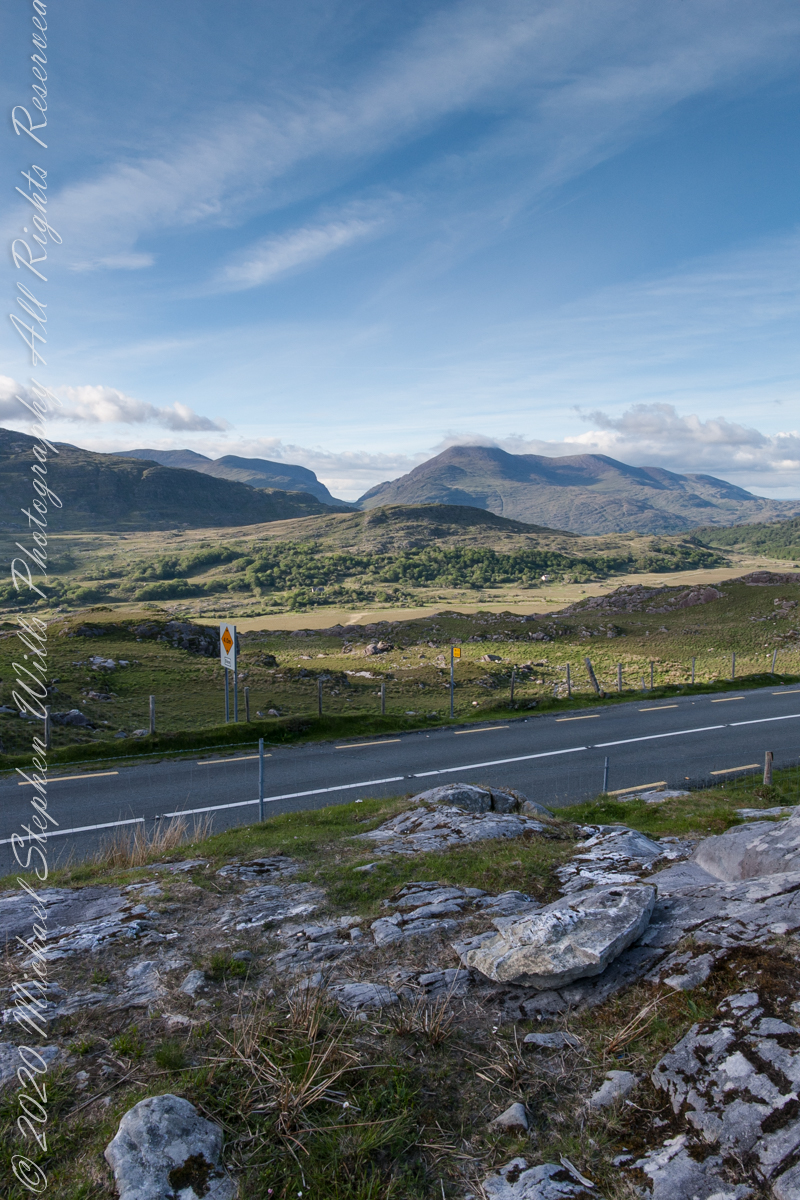
Here we are standing in Moll’s Gap, looking northwest into Black Valley, a place so remote it was among the last, on the island itself (“mainland”) to be electrified or connected to telephone networks.
Beneath our feet are the slopes of Derrygarriff (in Irish Doire Gharbh) of the Mangerton range. Across the way is Crossderry peak of the Dunkerron mountains, the townland is named for the peak. Black Valley, now a southerly route to the Gap of Dunloe well known to certain hikers and cyclists, is beyond the far mountains.
Click pic for larger view in a new browser tab. If you are in WordPress Reader, open the post to use this feature.
Copyright 2021 Michael Stephen Wills All Rights Reserved
The only National Forest in New York State, this land is visible as a ridge to the west of our home. Here we are on the west side, the ridge of Seneca Lake in the distance.
Click photograph for a larger view. To do this from WordPress Reader, you need to first click the title of this post to open a new page.
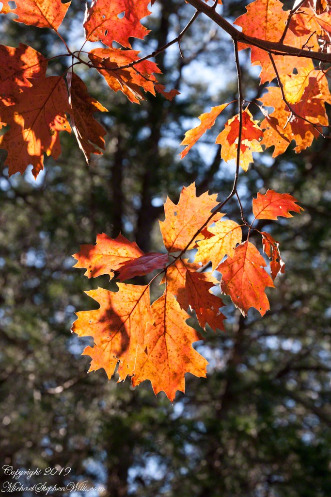
The oak holds tight to leaves, sometimes until spring when new growth pushes last year’s off. Here is a cluster on a bright November afternoon hanging above the South Rim trail of Taughannock Falls Park of the New York State Finger Lakes Region.
Backlit Autumn Oak Leaves
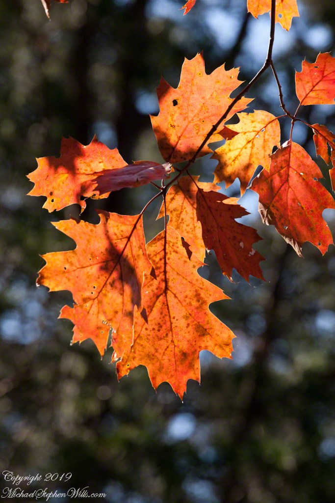
Autumn Oak Leaves, detail
Copyright 2021 All Rights Reserved Michael Stephen Wills
Here we are, on the road from Kenmare to Killarney, N71, part of the Ring of Kerry around the Iveragh Peninsula. The spot is the mountain pass Moll’s Gap, also known in the Irish language as Céim an Daimh (meaning, Gap of the Ox). In the Nineteenth Century a woman named Moll Kissane ran a public house here, operating illegally.
The mountain of this townland, named Eirk (also known as Adhard) , is composed of a fine grained sandstone found in a wide swath from North America’s northeastern coast, Greenland, Ireland, Great Britain — lands formerly part of the same ancient continent.
Click pic for larger view in a new browser tab. If you are in WordPress Reader, open the post to use this feature.
Iveragh Peninsula, Eirk townland, County Kerry, Republic of Ireland.
Copyright 2021 Michael Stephen Wills All Rights Reserved
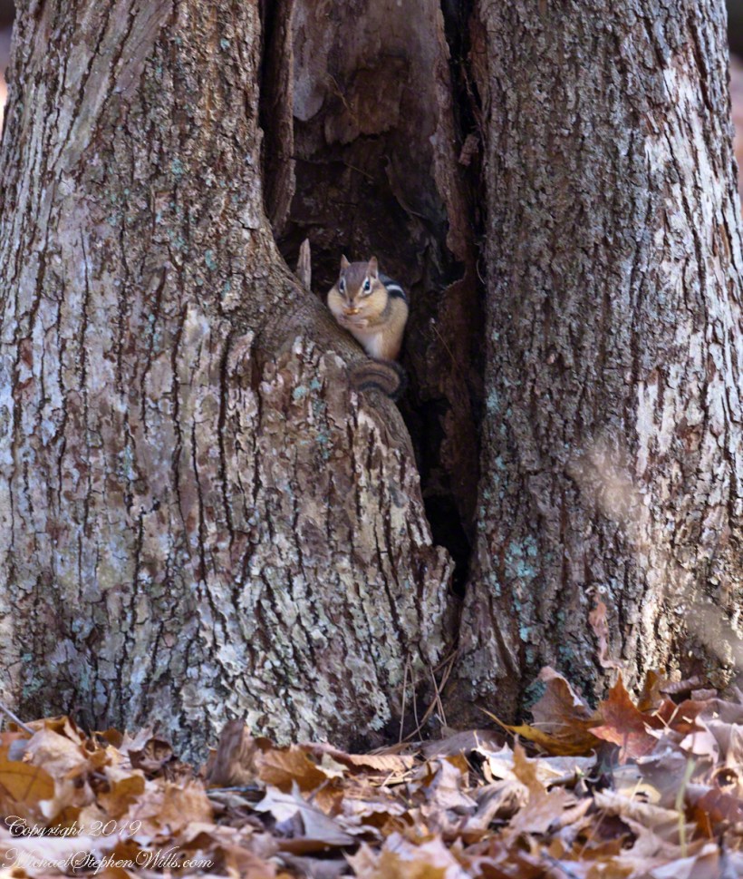
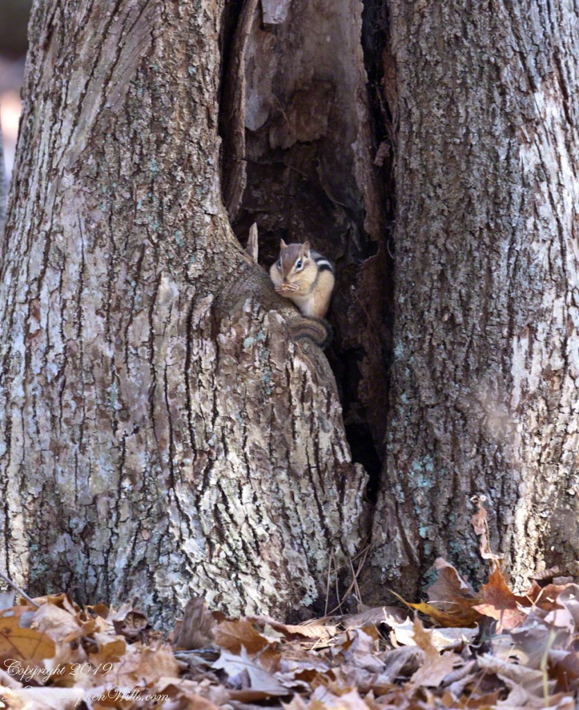
Perched on its doorstep, an Eastern Chipmunk gorges on an ample supply of acorns. These small rodents are omnivores. Here are two shots, each with an acorn in hand and full cheek pouches.
Wary Chipmunk with acorn
Chipmunk eating acorn
Copyright 2021 All Rights Reserved Michael Stephen Wills
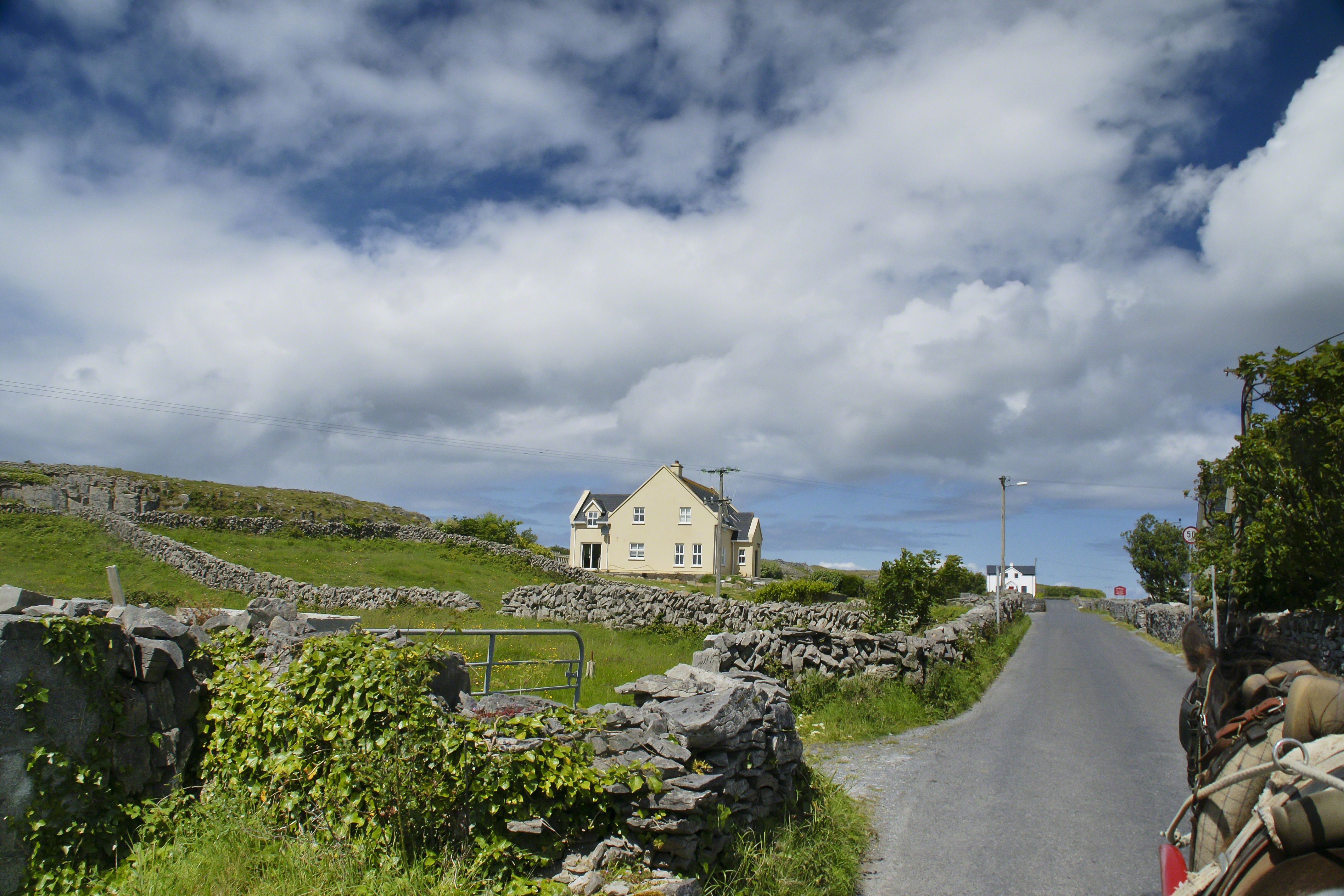
Enjoying travel on a horse trap, a type of carriage, on Inishmore (Inis Mór), the largest Aran Island in Galway Bay we headed up Cottage Road from Kilronan, the main island settlement. It was there we embarked from the ferry, hired the driver, his horse drawn trap. Our destination an iron age fort, Dun Aengus (Dún Aonghasa, the Irish language name) and the sights along the way.
Headed up Cottage Road, I captured this view of dry stone walls and homes against the May sky over the shoulder of our horse.
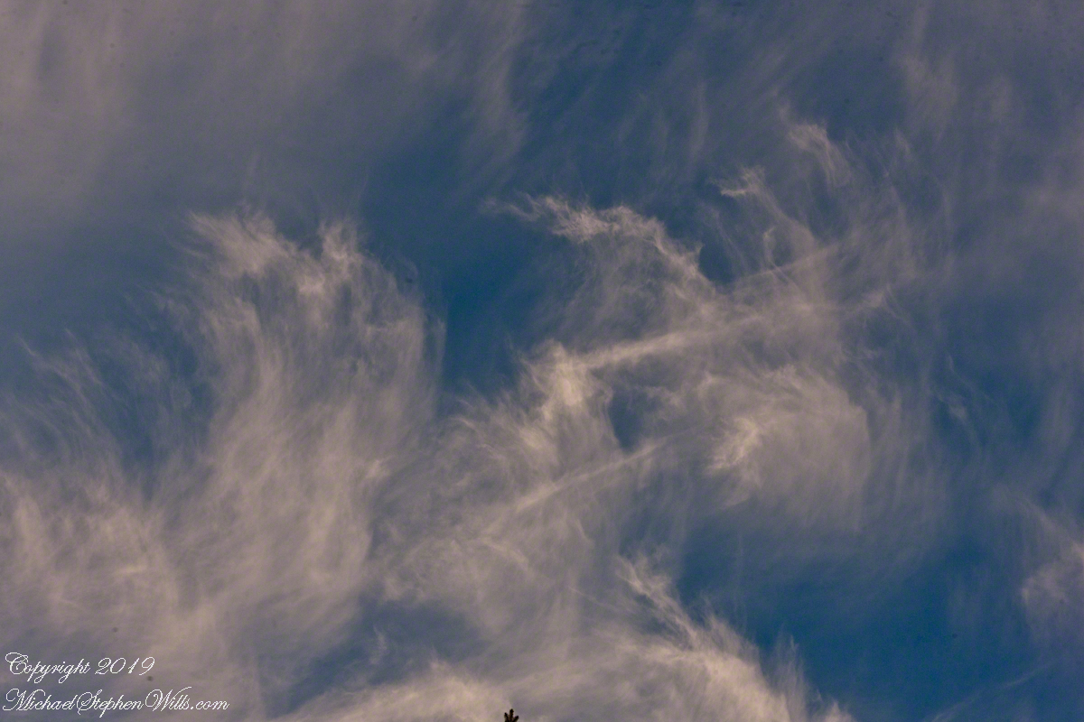
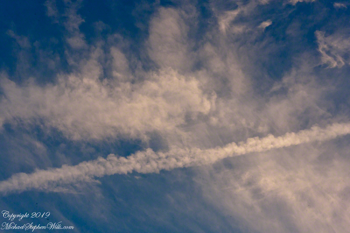
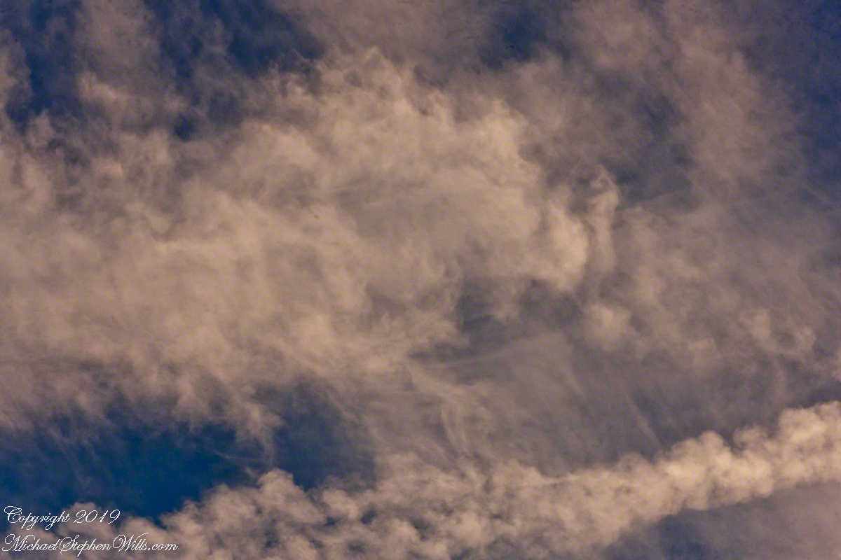
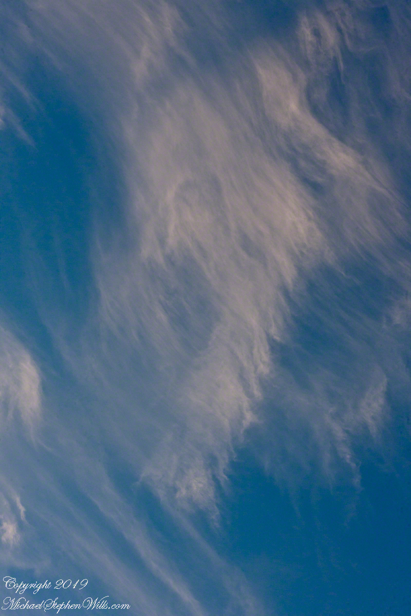
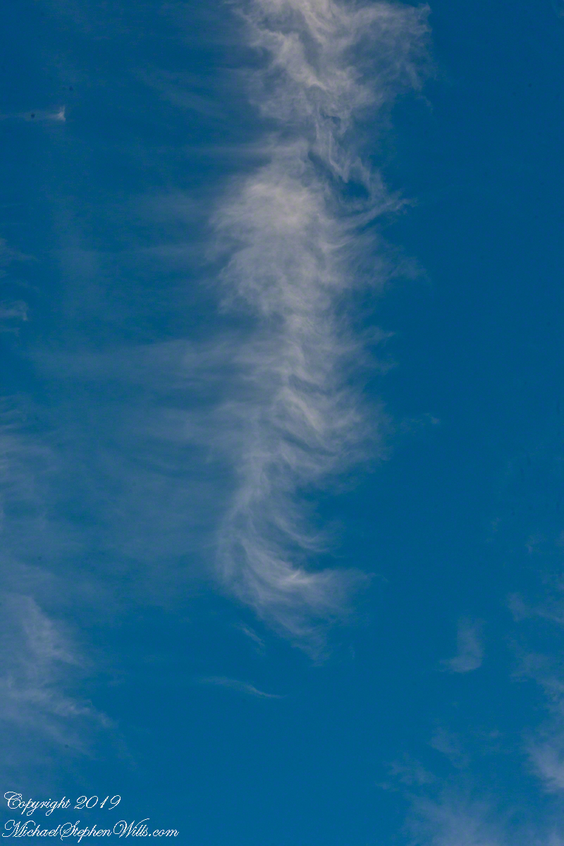
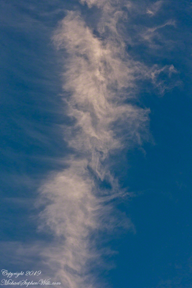
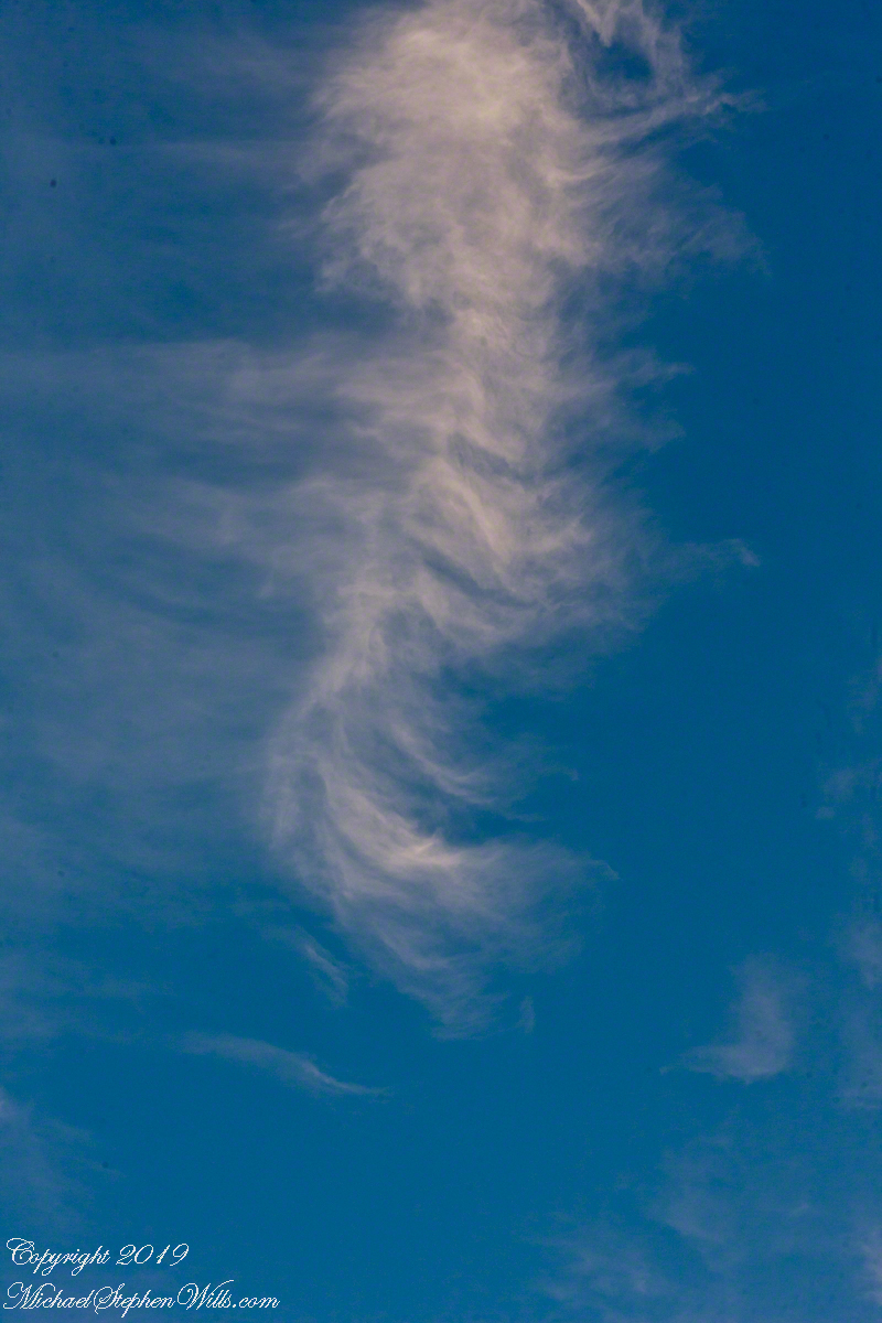
This evening cirrus clouds filled the sky at sunset. View the following photographs to understand how these forms are named from the Latin word for a ringlet, or curl, of hair. Formed above 16,500 feet, on this day the cirrus glow with the light of a sun low in the sky.
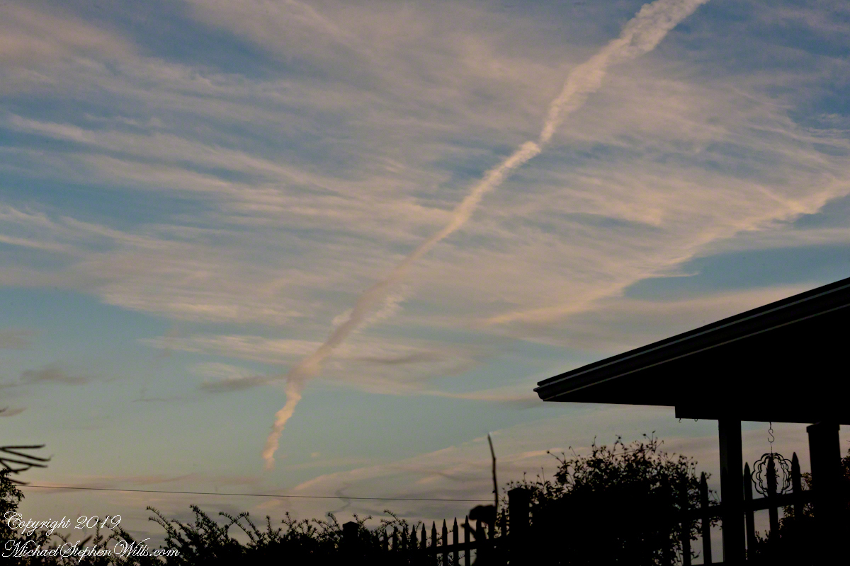
Here is a wide view from our driveway that includes a deteriorating con trail and possibly a mixture of other cloud types, I am no expert. I used a Canon “zoom” lens for flexibility in framing. To minimize exposure time for a crisp capture of the moving object, ISO was set to to 1,000 and the f-stop minimized.
Click any image for a larger views. Then, click again to return to post.
Post production I needed to spend time removing dust spots (neglected to clean the image sensor), some of the images still have those annoying spots.
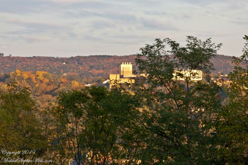
We enjoy looking west across the valley when the hills are glowing.