Eirk Townland View One

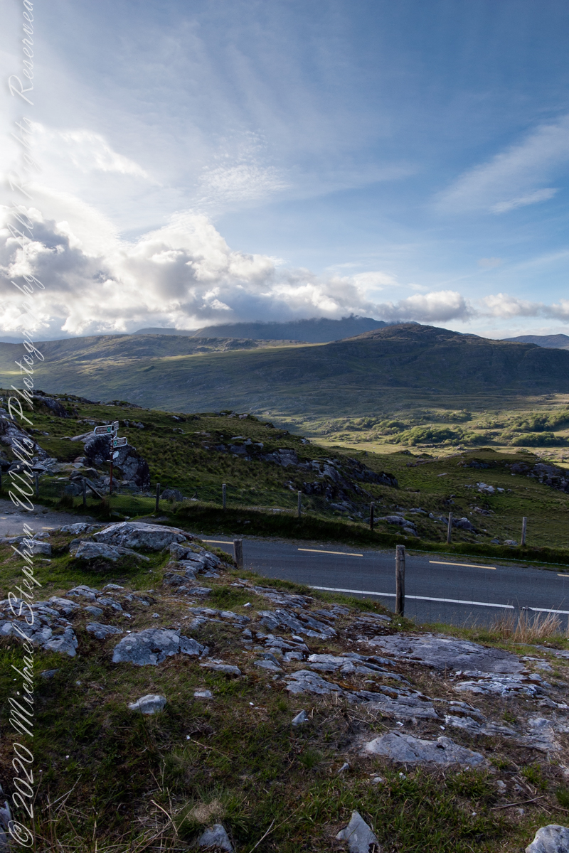
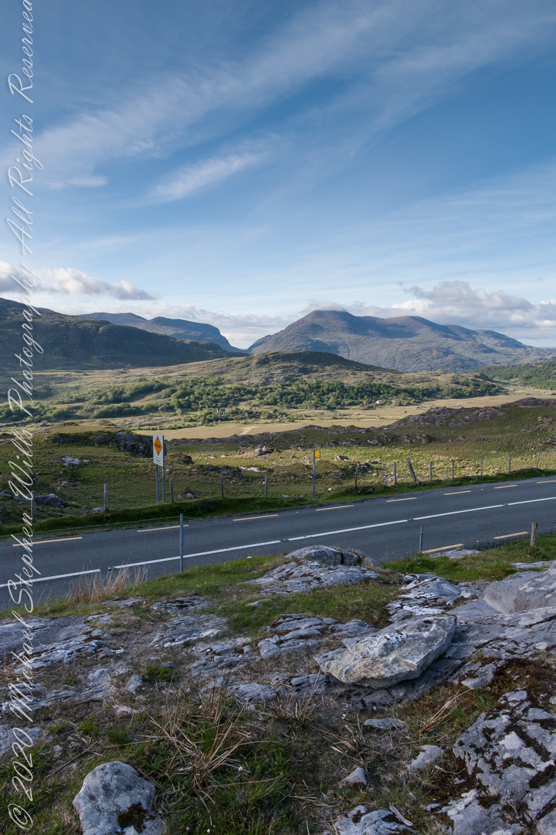
Here we are in Moll’s Gap, also known in the Irish language as Céim an Daimh (meaning, Gap of the Ox)

Here we are, on the road from Kenmare to Killarney, N71, part of the Ring of Kerry around the Iveragh Peninsula. The spot is the mountain pass Moll’s Gap, also known in the Irish language as Céim an Daimh (meaning, Gap of the Ox). In the Nineteenth Century a woman named Moll Kissane ran a public house here, operating illegally.

The mountain of this townland, named Eirk (also known as Adhard) , is composed of a fine grained sandstone found in a wide swath from North America’s northeastern coast, Greenland, Ireland, Great Britain — lands formerly part of the same ancient continent.

Click pic for larger view in a new browser tab. If you are in WordPress Reader, open the post to use this feature.

Copyright 2021 Michael Stephen Wills All Rights Reserved

Headed Up Cottage Road, Inishmore

View from a horse trap on the Aran Islands, Galway Bay, Ireland

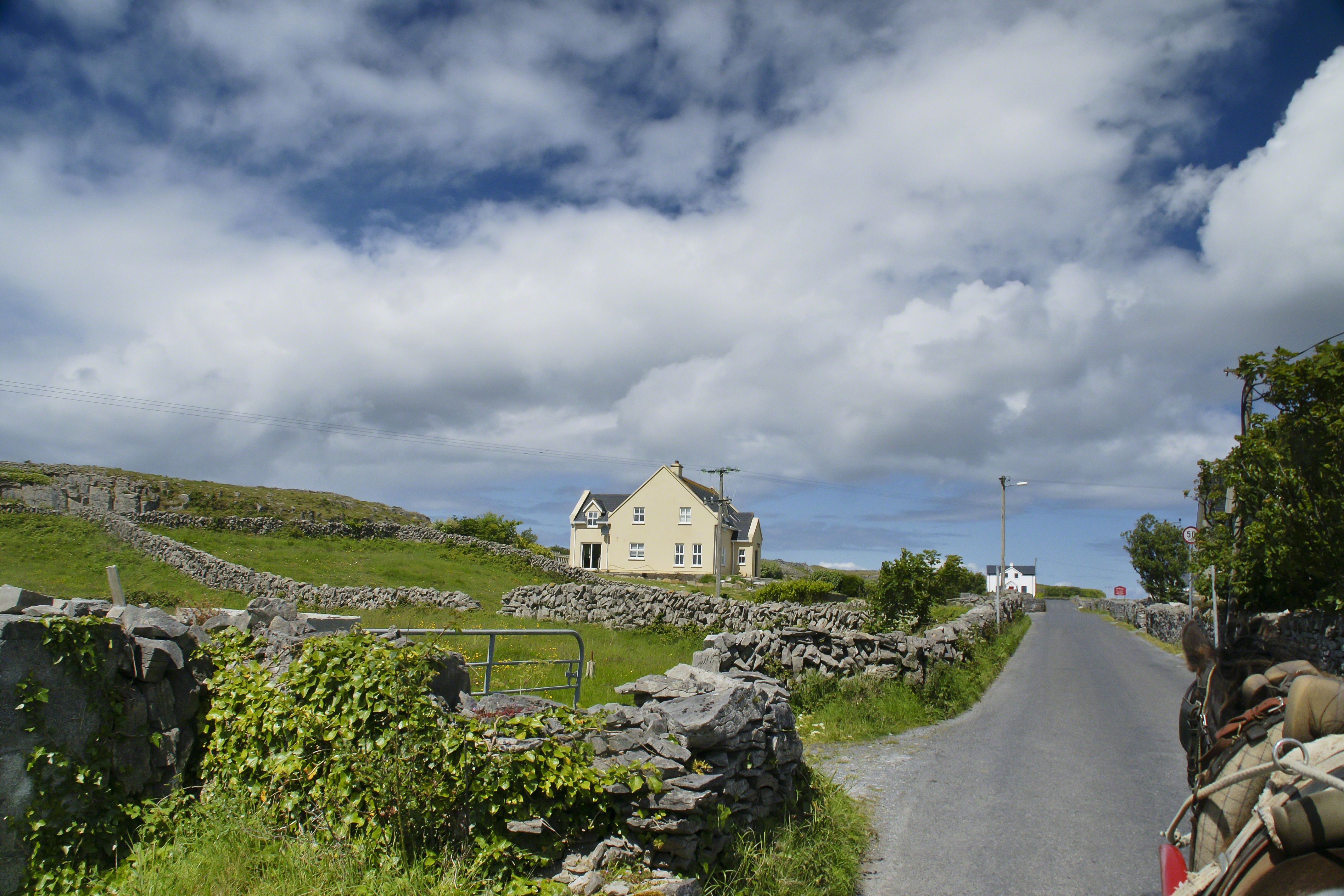
Enjoying travel on a horse trap, a type of carriage, on Inishmore (Inis Mór), the largest Aran Island in Galway Bay we headed up Cottage Road from Kilronan, the main island settlement.  It was there we embarked from the ferry, hired the driver, his horse drawn trap.  Our destination an iron age fort, Dun Aengus (Dún Aonghasa, the Irish language name) and the sights along the way. 

Headed up Cottage Road, I captured this view of dry stone walls and homes against the May sky over the shoulder of our horse.

Click the link for my Getty IStock photography of the Aran Islands
Headed up Cottage Road

Copyright 2019 All Rights Reserved Michael Stephen Wills

Copyright 2021 Michael Stephen Wills All Rights Reserved

Ocotillo Sunset from Saguaro National Park, a diary Part 2

The creation of a photograph

A retrospective diary of the day I captured “Octillo Sunset, continued from PART 1


Moving to a Better Location

On the ground in Sabino Canyon, I rethought my plans for the afternoon, given the potential of an incredible desert sunset, and decided to seek the high ground east of Tucson up against the Rincon Mountains in the Saguaro National Monument. There was still plenty of time to travel there and set up.

On arrival at the monument I took the scenic “loop” road that meandered around the desert. The Lime Kiln Falls trail makes some elevation, so I hiked that to the end. In the 1800’s the rocks in the area were exploited for their mineral content by heating them, on site, to high temperatures that released a highly caustic (chemically reactive) “quick lime” that was in high demand. All that’s left of this work is some ground discoloration.

The Dry Water Fall and former Mining Site

The “Falls” in question were a totally dry rock ledge that I climbed for these views. In the first photo, on the right in the distance, you can see the same mountain peaks I shared in Part One. I used the same 200 mm telephoto lens because that interesting stand of saguaros were over 100 feet away across a steep slope.

Young Saguaros

The saguaros are interesting, to me, because they are all so young and grouped together. As though s clutch of seeds from the same specimen landed together on the same spot. The saguaros are notable for their lack of arms which will form with the passing years.

A View of the Catalinas

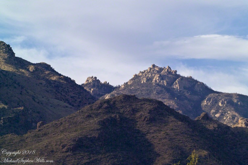
Late afternoon is the perfect time to photograph the Catalinas in the distance and the high, thin gathering cloud cover made for dramatic shading of the peaks. I needed to wait for a perfect moment because the light and view changed, literally, second by second. If you look closely, the city of Tucson can be seen among the foothills, to the left.

Why the Distance Stands Out (high contrast)

The lens was fitted with a deep hood. Besides being black, the interior of the hood is surfaced with black felt, the same as used for large telescopes, to capture any stray light. Light falling across the lens surface causes reflections, which is what this hood prevents. The result is the amount of contrast I captured, using the appropriate exposure and other settings. For this photograph I used F14, 1/125 and ISO160.

Click any photograph to view Ocotillo Sunset Young Saguaros and the Catalinas – CLICK ME to view Ocotillo Sunset.
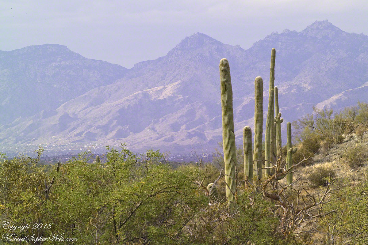
Another Catalina View

A bit further down the same trail, the desert view features an army of saguaros marching into Tucson.

Click any photograph to view Ocotillo Sunset Saguaros and the Catalinas – CLICK ME to view Ocotillo Sunset.
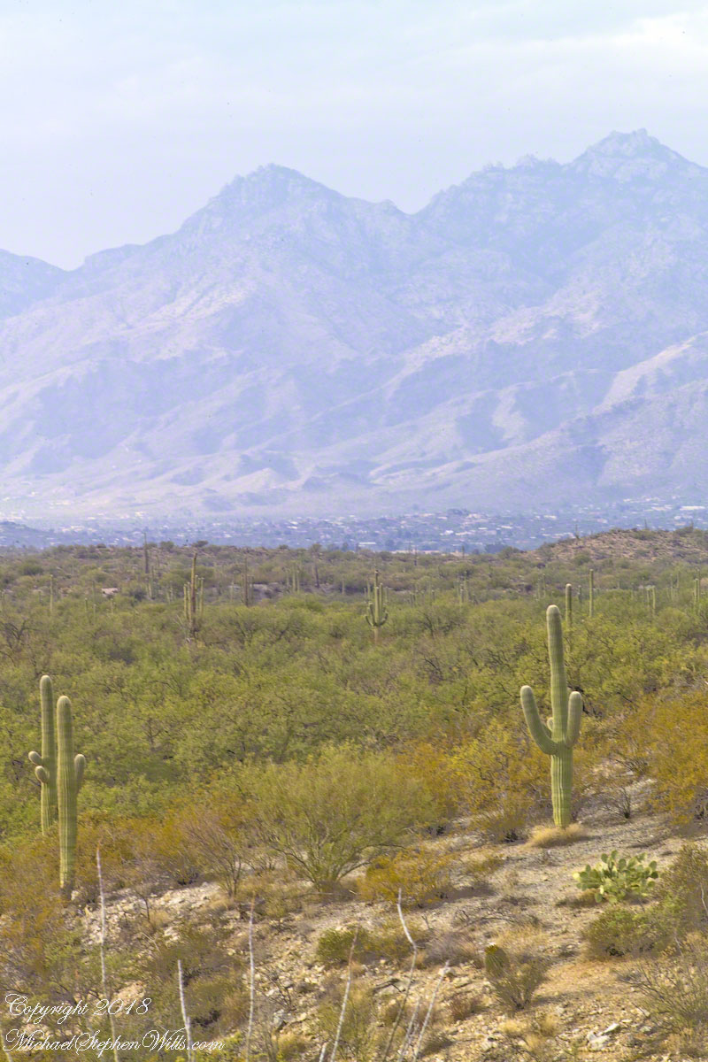
The Catalina Highway runs along the escarpment, in the distance, and to the top of Mount Lemmon, a 9157 foot peak. In season, you can ski in the morning, on the peak, and in an hour or so travel to the desert to sunbathe comfortably. From the trail to the top of the Rincon Mountains this view just keeps opening up farther and farther and farther. My wife, Pam, and I backpacked up there April 2011.

Click Me for the next post in this series.

Click Me for the first post in this series.

Copyright 2021 Michael Stephen Wills All Rights Reserved

Ocotillo Sunset, a diary

The creation of a photograph

This is a retrospective diary of the day I created my print “Ocotillo Sunset.”

On a Tucson November 2005 afternoon, after my volunteer work for the University of Arizona, CALS college, alumni board of directors, in the mid-afternoon I headed for Sabino Canyon with my photography kit.

With a 25-pound pack on my back, walking from the parking lot I looked up at the incredible rock formations of the Santa Catalina mountains. It took some time to set up the tripod (at that time I was using a cheap swivel head on adjustable aluminum legs) with a 200mm telephoto lens (Canon L-series EF 200mm USM) I grabbed this shot of the hoodoo fringed peaks beyond the foothills (f16, 1/30, ISO160). The lower sun angle made the formations pop out.

Hoodoos in the Hills

You call those strange formations of upright rocks “hoodoos. Some people believe the fantastic shapes were created by spirits, today the explanation is wind, water and time create hoodoos from rock of the right stuff. It is a wonderful experience to wander among hoodoos, though unsettling because some of these large rocks are seemingly in danger of falling over at any moment.

Santa Catalina Hoodoos – CLICK ME to view Ocotillo Sunset.

Moving On

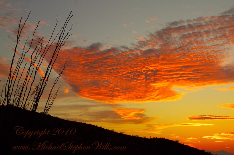
I have a mental list of photographic “to do’s” and the gathering clouds, typical for a Tucson November day, reminded me an awesome desert sunset was on this list, so I packed up to head for the east side of Tucson for a shot looking toward the Tucson Mountains (on the west side).

Clouds gather at sunset above a ridge serrated by saguaros.

Click any photograph to view Ocotillo Sunset Gathering Clouds – CLICK ME to view Ocotillo Sunset.

Sabino Canyon House

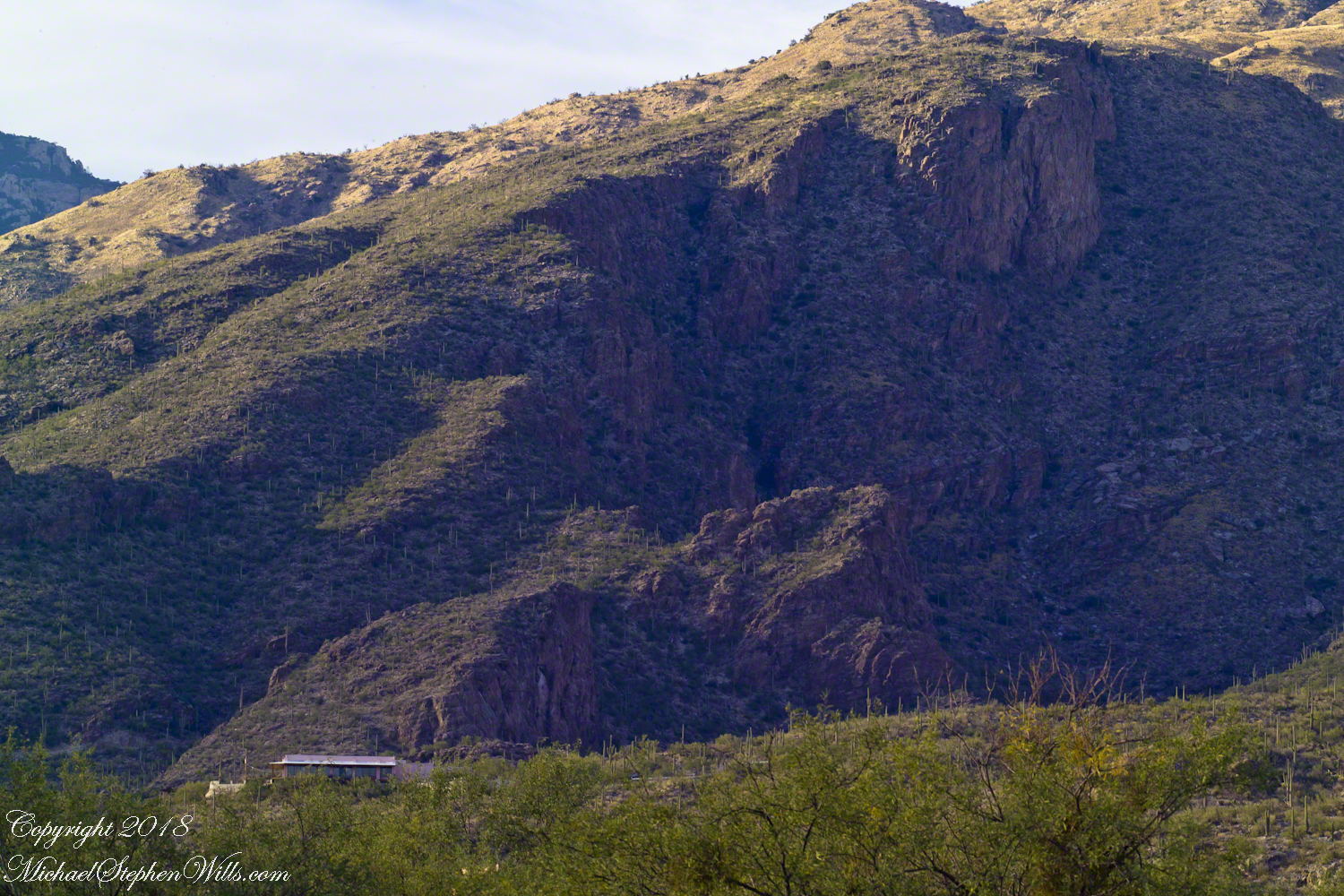
Before we move on, this is a fascinating image of a typical southern Arizona house perched on a ridge at the mouth of Sabino Canyon. In this image the viewer sympathizes because the telephoto lens gathers the majestic rocks around the tiny structure.

Desert Foothill Home – CLICK ME to view Ocotillo Sunset.

The house is perched on a Santa Catalina foothill ridge running east west, a wall of picture windows facing south with a view across the Tucson valley toward Mount Wrightson of the Santa Rita mountains, 42 miles distant. Summer thunderstorms gather on this peak, wreathing it with lightening. These times, evenings and night, the view pays for the inconvenience of this distant, hot ridge. Another time to be there is for sunsets.

Click Me for the next post in this series.

Copyright 2024 Michael Stephen Wills All Rights Reserved

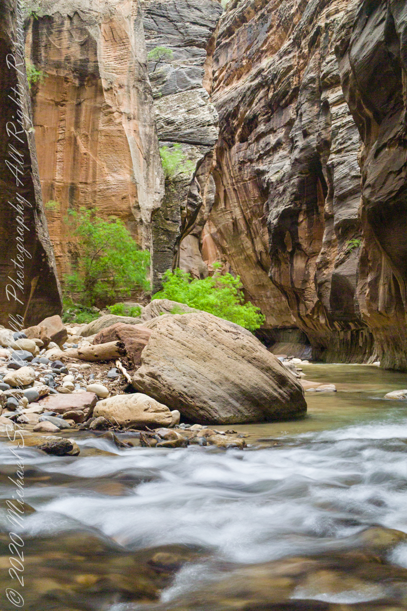
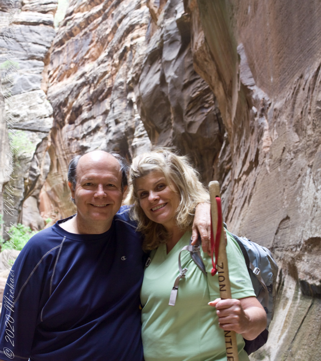
Zion National Park 2007

My Zion Photography on Getty

I finished my Zion photographs from oyr 2007 trip. Click this link for the 22 images accepted by Getty.

Copyright 2021 Michael Stephen Wills All Rights Reserved

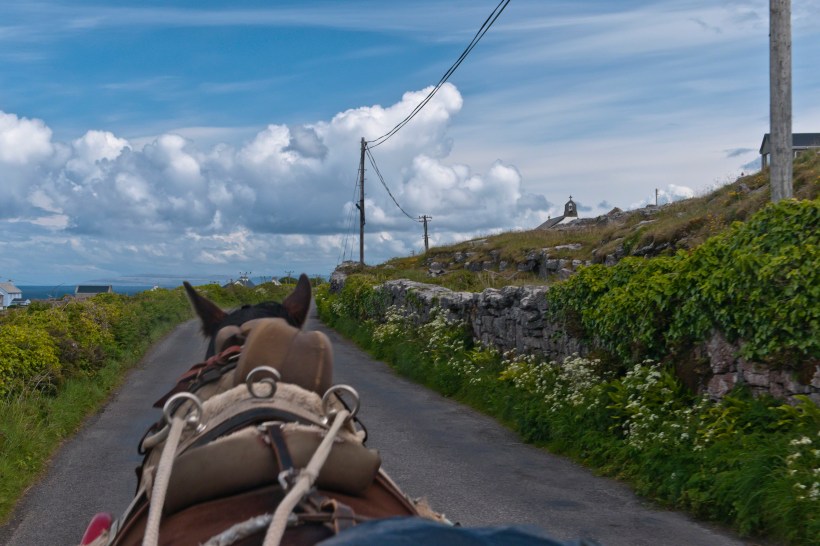
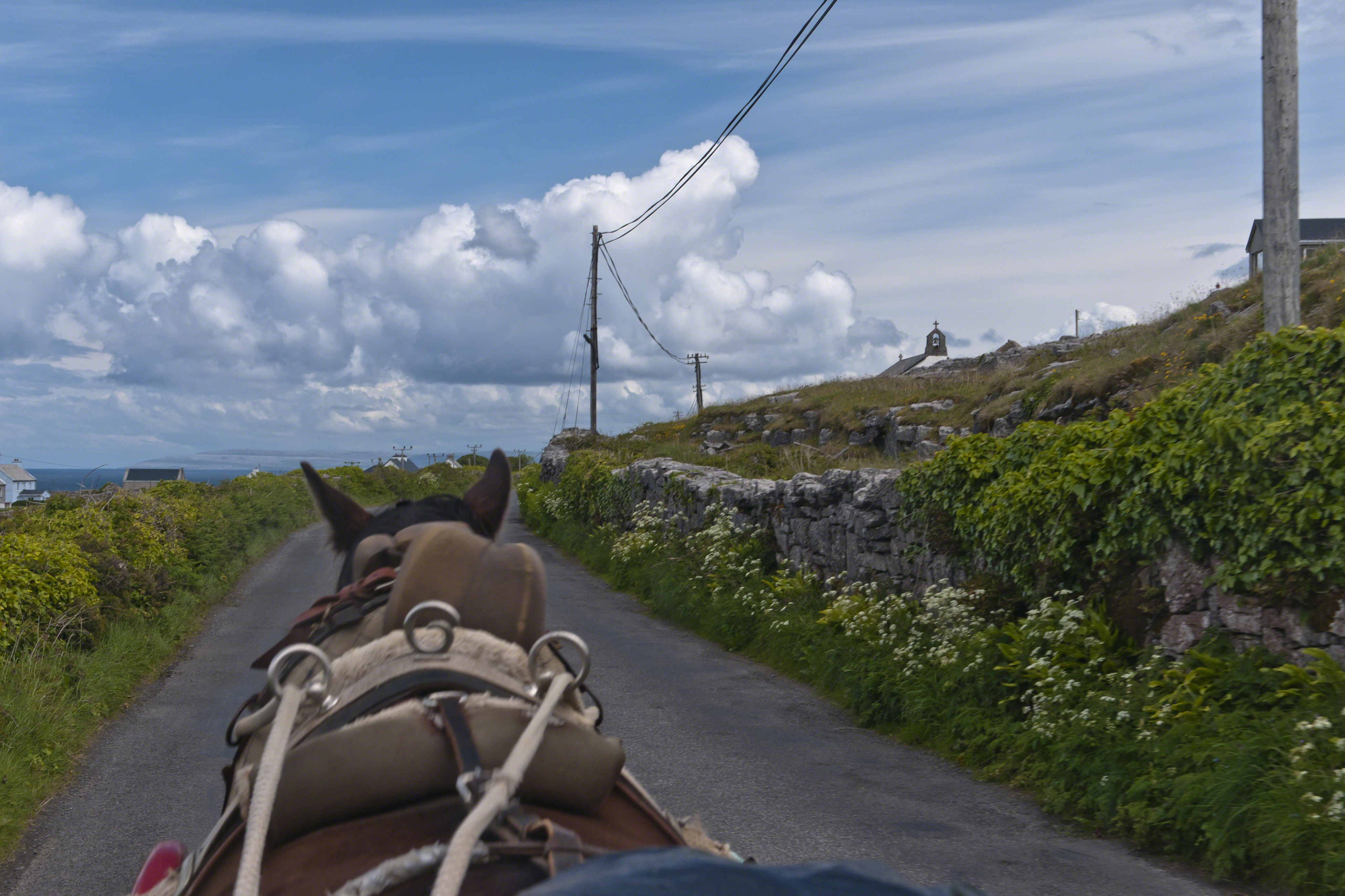
Horse Trap on Inishmore

Travel at its best

Enjoying travel on a horse trap, a type of carriage, on Inishmore (Inis Mór), the largest Aran Island in Galway Bay.

Click the link for my Getty IStock photography of the Aran Islands
View from Horse Drawn Trap on Cottage Road headed into Kilronan

Copyright 2019 All Rights Reserved Michael Stephen Wills

Pinelands Connections IX

What is a Collier?

Click for the first chapter “Pinelands Connections I”

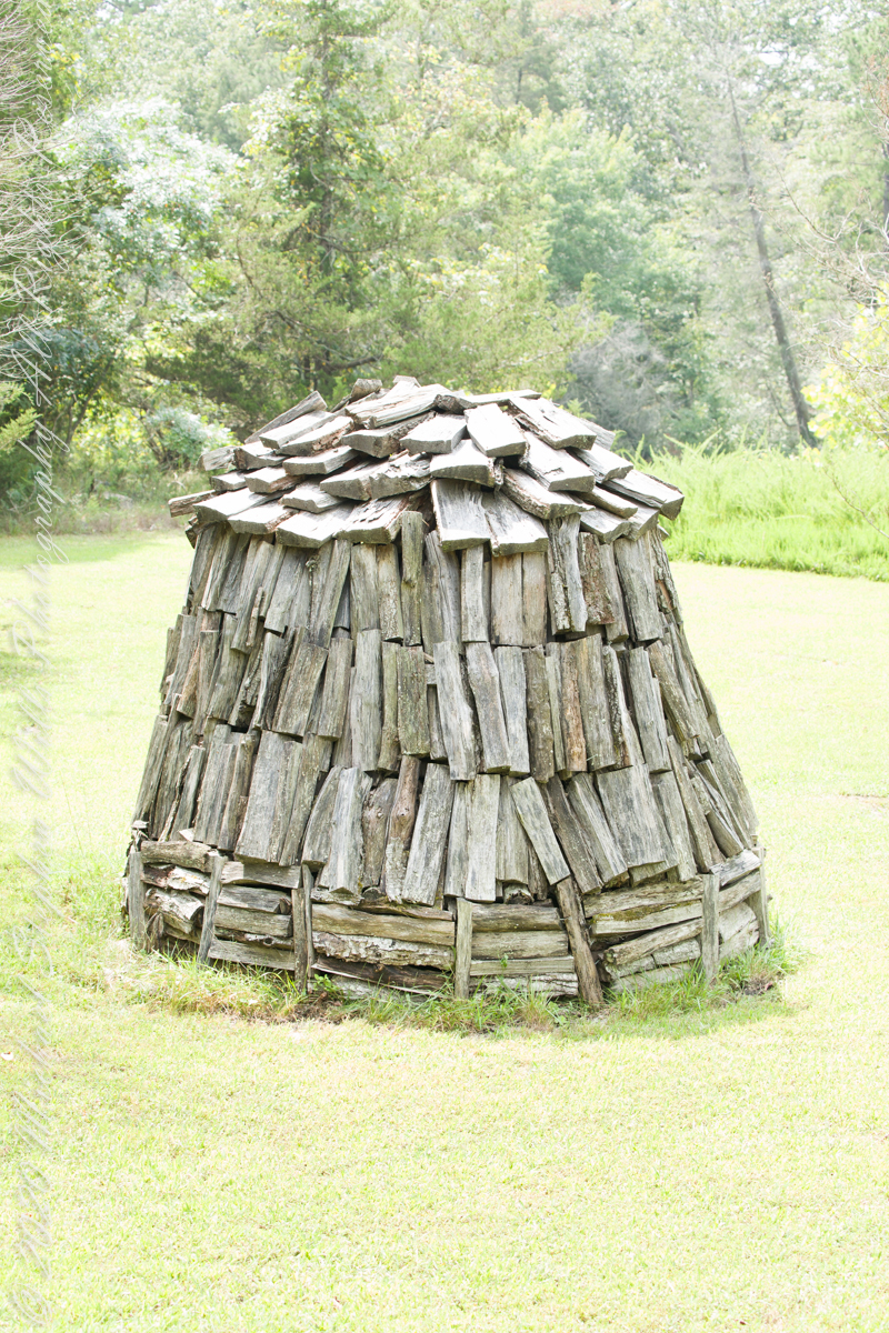
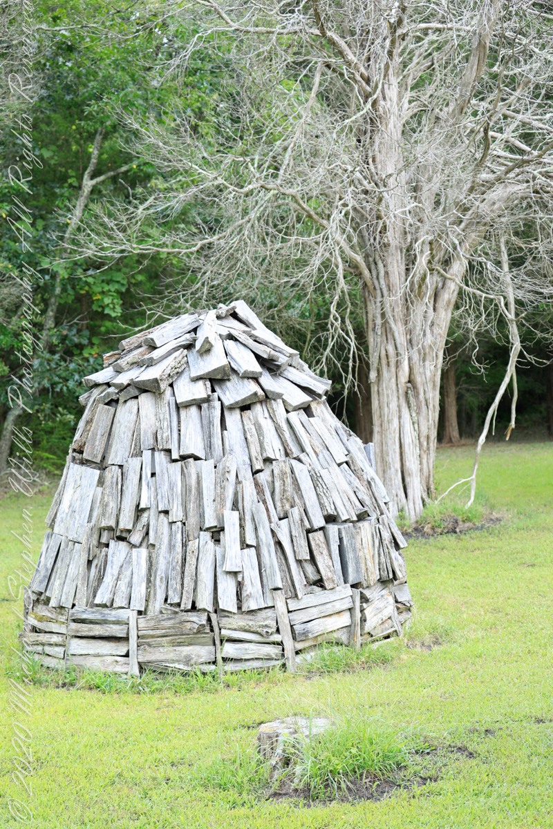
Here my exploration of Wharton State Forest, Pitch Pine Forest III, branches to the genealogical exploration of this landscape as my sister, Theresa and I, proceed along the humped, pitted sand road Goodwater through the wilderness to emerge in Batsto Village, a recreation of lives that touched my great great grandparents, James and Ann McCambridge among them. Ann saved money earned as a cook for Atsion furnace, the historical site at the start of the road to Quaker Bridge. Her husband James worked as a collier, supplying fuel for the iron furnaces at Atsion and Batsto, among other enterprises. During our Batsto Village visit we found these reproductions of charcoal clamps.

Since earliest times charcoal was used for cooking and heating. It was the best heat source for metal furnaces. Entire deforested regions are attributed to the demand for charcoal. Thomas Jefferson experimented with charcoal clamp designs, modifying air flow from the base.

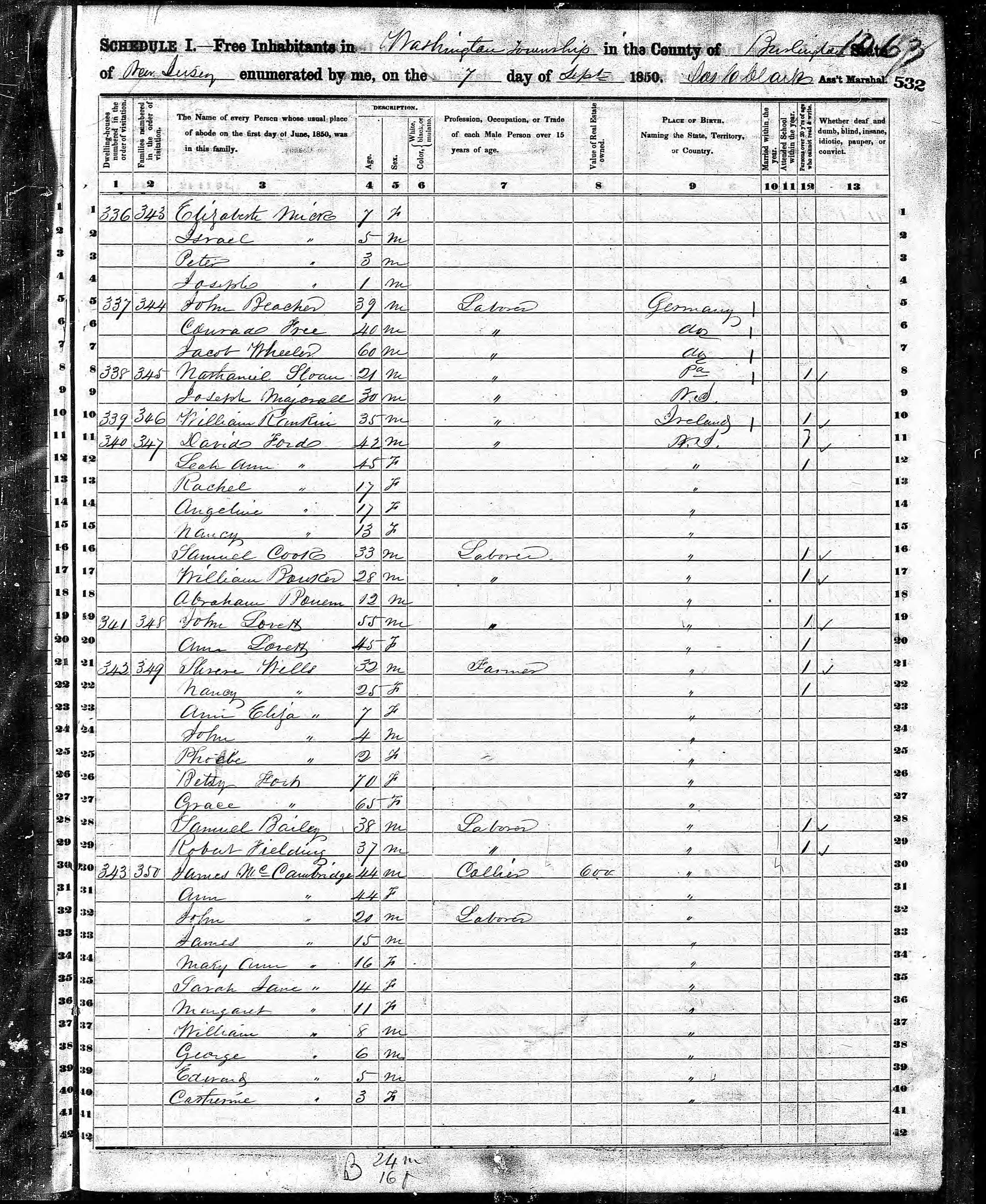
James and Ann lived on the land that provided a livelihood, enough to support themselves and nine (9) children. From September 7, 1850 is the US Census for this family of my second great grandparents. Great Grandmother Margaret was 11 years. James is listed as a Collier, the value of Real Estate owned was 6,000 (a fortune for the time).

Like his wife Ann, James had a savings account…..

Click for the next chapter, “Pinelands X”

Copyright 2021 Michael Stephen Wills All Rights Reserved

Pitch Pine Forest III

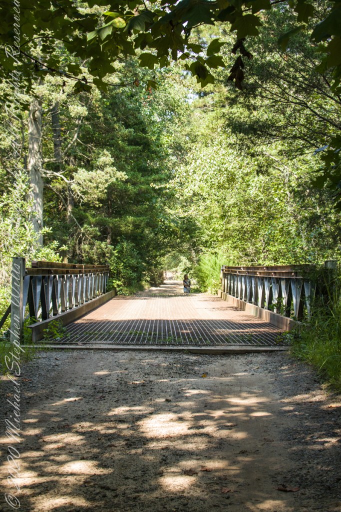
Road to Batsto

Leaving the jeep on the west side of Quaker Bridge, I walked over to inspect the structure and poke around the other side, carrying a Canon 5d Mark IV (camera body) / EF 70 – 300 mm f/4-5.6 L IMS (lens), shooting as I walked. My sister Theresa and Maxie, a little white dog, lagged behind taking in the surroundings. Here they are, in shadow, on the west side.

Click pic for larger view in a new browser tab. If you are in WordPress Reader, open the post to use this feature.

My work on the east side was shared in previous posts, “Pinelands Connections VIII,” I and II “Around Quaker Bridge,” and I and II “Pitch Pine Forest,” work interrupted by the sound of an approaching engine, a Humvee came into view. I waved my arm up and down, a sign to slow down, pulling alongside the driver looked up with dead eyes, no element of recognition of a fellow human, as I explained my sister was on the bridge. A stink of unfamiliar hydrocarbons, diesel fuel?, rose through the heat as they pulled forward with no acknowledgement of my request. Thankfully they slowed down as Theresa, Max in her arms, said, “hi.”

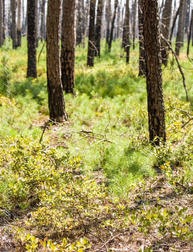
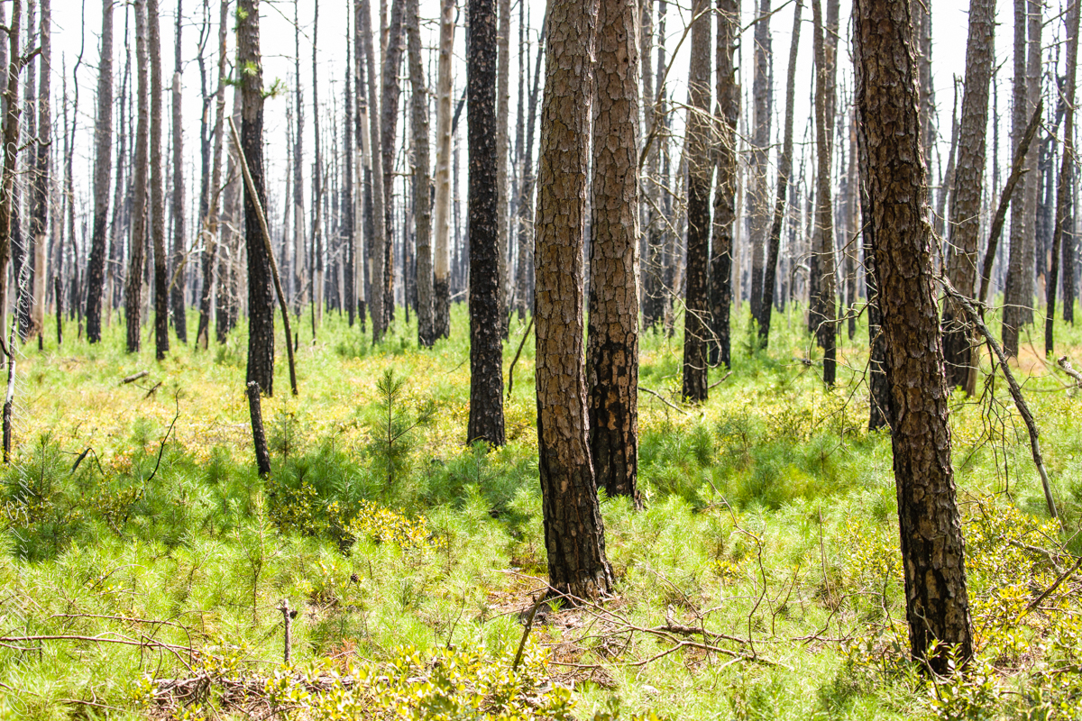
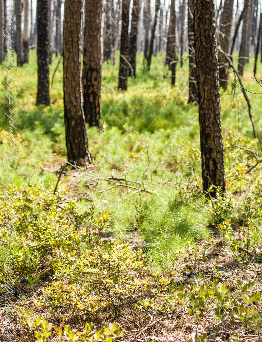
Multiple roads converge from all directions on Quaker Bridge, using GoogleMaps (surprising these unimproved, “jeep” sand roads were listed) I chose Goodwater Road as a route to Batsto Village, on the southern side of Wharton State Forest. The 6.1 mile road follows the east bank of Mullica River at a distance, a very rough passage through ancient Pitch Pine forest. Here are photographs of the enormous capacity of the pines to regrow after fire. Note a thick seeding growth among the mature pine trunks, lower portions fire blackened.

Copyright 2021 Michael Stephen Wills All Rights Reserved

Proleek, Grandfather McArdle’s home

Romance of Ruins

In three, so far, postings on the cottage ruins at Loughan an Lochan (Loughan Bay) we explored a former community above the Irish Sea with a view of Scotland.  For the third posting I shared some research on the last cottage people of that site with the intent of additional postings.

I wondered, “What motivates you to do this?” and remembered my mother’s Canadian passport in which, for place of birth “Proleek, Ireland” was written and my request to our cousin, John Mills, who invited us to stay with them after my mother passed away, June, 2013, the request being to visit the site of great grandfather James McCardle’s home, where grandfather Peter McCardle was raised, information since discovered from the Irish census.

On the morning of Sunday, May 25, John took us from mass on a tour of sites related to the family.  One of these was the site of the McCardle home, Proleek Townland.

Peter McArdle Former Home
The ruins of the former home of Peter McArdle are on a corner of unnamed streets in Proleek, County Louth. This is a view of the southwest side.

There site is an anonymous corner on a unnamed street with no outlet.  The street ends close to the Proleek Dolmen, an ancient passage tomb, after passing farms and fields.

Peter McArdle Former Home
The interior of the property. I see no evidence of great grandfather James McArdle’s home, It has returned to the earth.

The 1901 Irish Census provides these details from 116 years ago:

  • The walls were stone, brick or concrete.
  • The roof of thatch, wood or another perishable material.
  • Two rooms, with three windows facing the road.
  • Out buildings listed were:
    • cow house.
    • piggery.

Today, the site is another person’s property, it was not possible to explore further than when the camera lens reached when I leaned as far a possible into the brush.  No sign of standing walls.

Southeast view from McArdle former home
Across the road from the McArdle Plot is this ditch (stone wall) and a home. In the far distance, just visible across the plain, rising from it, is an unnamed land mark, a rounded hill 350 feet tall of the neighboring townland of Bellurgan.

Modern homes surround the corner, solid and prosperous.

View to the west from McArdle Former Home
The site is surrounded by homes on the west and south, farmland on the east and west.

For this posting I collected the following images from Google Earth.  The site is marked with a pushpin, “McCardle Home.”  A “Proleek Dolmen” pushpin marks the passage tomb.

McArdleHomeProleekCountyLouthOverview

A closer view suggests, if we trespassed and poked around, some remains of the structure were concealed by the trees and brush.

McArdleHomeProleekCountyLouth

Between May 2014 and this image, from 2015, the center of the plot was gouged out.  The area corresponds to the corresponds to the remains indicated in the 2013 image.  From this we can understand were the structures stood in relation to the road.

Using the polygon ruler tool the size of the site is 413 feet in circumference, 9,619 square feet, and the gouge, indicating the ruins, is 1,368 square feet.

McArdleHomeProleekCountyLouthToday

But for John and Betty Mills, their kind invitation to stay and John’s guidance that day, the “Proleek” notation on my mother’s Canadian passport would still be a mystery today.

John Mills passed away the next year, September 26, 2015.  Here are Hawthorne Blossoms from the corner of the former McCardle home in memory.

Here is some follow-up to my story in the posting “A Visit to Proleek Dolmen.”

Hawthorne Blossoms
Blooming Hawthorne on the former McArdle Home

Copyright 2024 Michael Stephen Wills All Rights Reserved

Superstition Galleries

A peaceful wilderness evening

….continued from the chapter “Reavis Ranch Autumn Sweep”

These are photographs from my Superstition Wilderness postings.

The following year my sister Diane and I did two expeditions into the Superstitions, March and November 2006.

“A This video is from the November backpack, taken from the hill above the Ranch Ruin (Click me for “A Ride to Reavis Ranch”) you will experience the peace of this wilderness valley.

Click me to visit Michael Stephen Wills Online Arizona Gallery.

Click me for the first post of this series.

Copyright 2021 All Rights Reserved Michael Stephen Wills