Friday last Pam and I joined a “James Potorti Memorial Gorge Walk” through Buttermilk Falls State Park where we learned interesting facts connected to one of my most successful photographs, “Summer Dream: Buttermilk Falls.” This is the second post of this series.
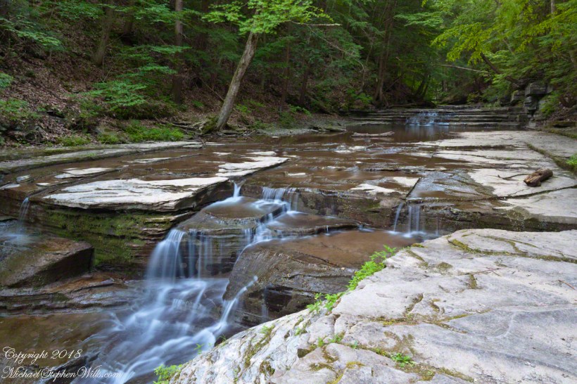
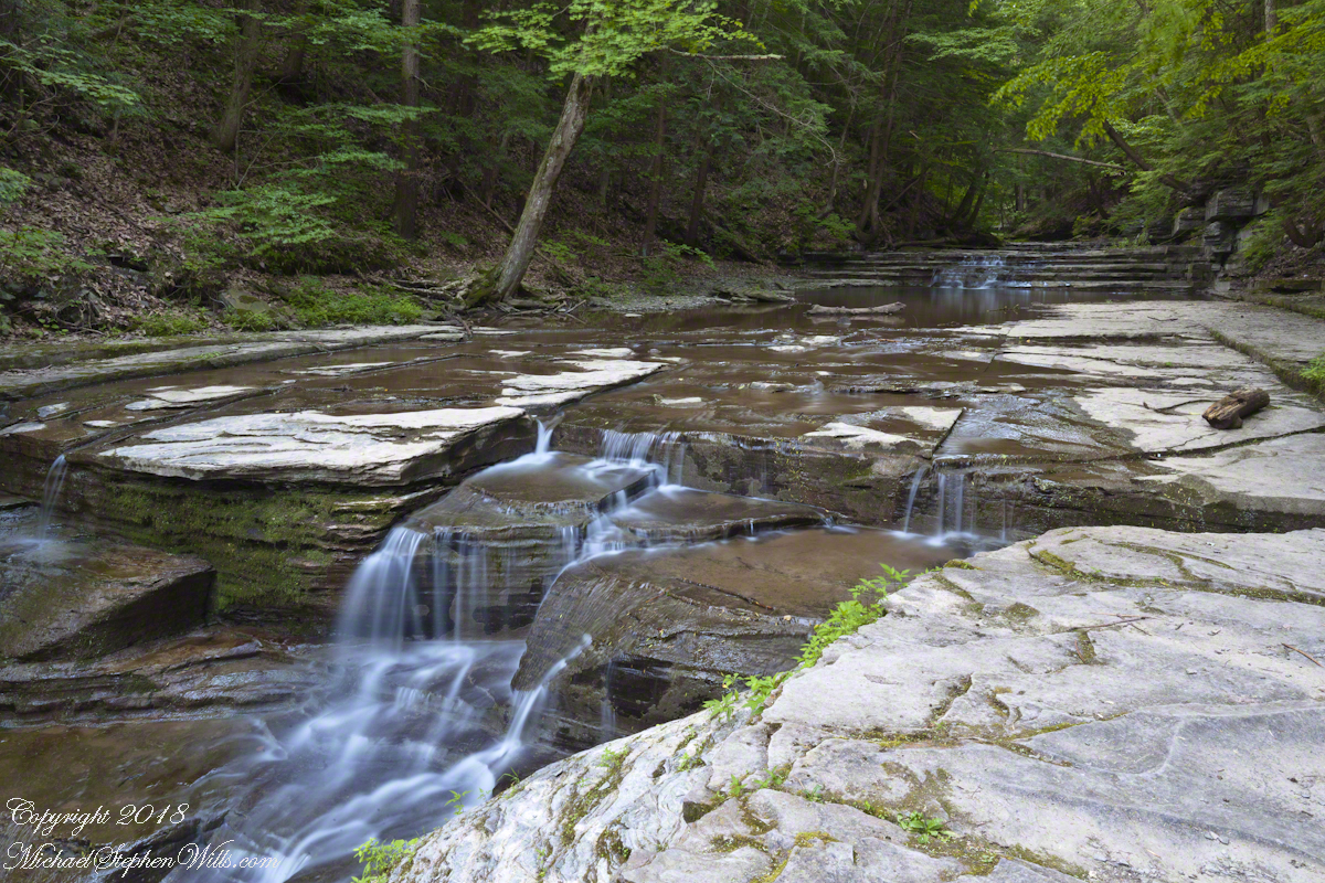
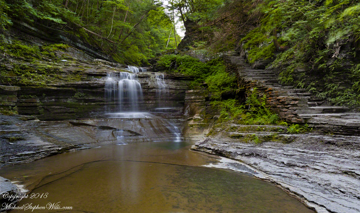
On a July morning 2018 I walked Buttermilk Creek from the scene of my “Summer Dream: Buttermilk Falls”, up the steps on the right of that photograph to where the water flows across a flat expanse of stone. This is a photograph of that expanse taken using a tripod mounted Canon EOS 1DS Mark III body with the Canon lens EF 24mm f/1.4L II USM w/a neutral density filter (0.6 as I recall).
Click photograph for a larger view.
“Summertime Cascades – 2018”
For a scene from nature there are many straight lines and, even, right angles in addition to the layering of the sedimentary rock from its origin as eroded material from the ancient Arcadia mountains collected on the floor of a warm shallow sea. We learned from Friday’s walking tour this sea was close to the equator at that time, riding on a tectonic plate that’s since drifted north. This North American Plate jostling with the others.
Beneath these rocks were older formations in which decomposed organic matter had transformed to methane gas. When the African plate and this pressed together, the stressed rocks weakened at right angles to the force, each stress point joining others in straight lines. The methane gas pressure from below forced the weak points to open a straight line fractures.
As the plates continued to move, orientation to the African plate transformed by ninety degrees and the two pressed together again. Methane gas pressure was present, causing straight line fractures at right angles to the others. Everywhere these rocks are exposed across the Finger Lakes region we see these right angle fractures.
In Memorium
James Potorti was a native of Ithaca who perished at 52 years of age in New York City on September 11, 2001 were he worked on the 96th floor of 1 World Trade Center.
Copyright 2022, Michael Stephen Wills All Rights Reserved
Join us on a journey through Buttermilk Falls State Park, where we uncover fascinating geological facts that shape the gentle cascades of “Summer Dream: Buttermilk Falls.” Discover the hidden beauty of this serene landscape.
Early one Friday morning Pam and I joined a “James Potorti Memorial Gorge Walk” through Buttermilk Falls State Park where we learned interesting facts connected to one of my most successful photographs, “Summer Dream: Buttermilk Falls.”
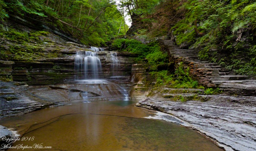
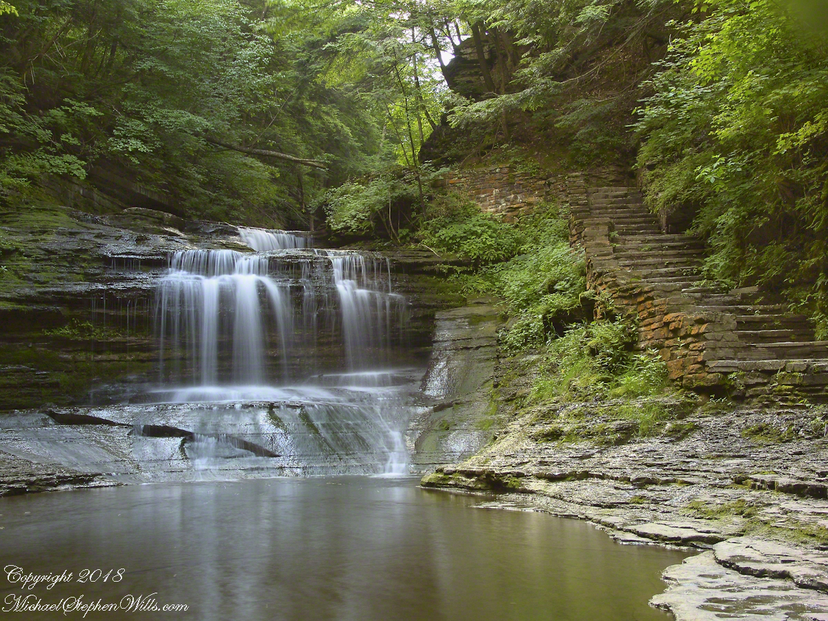
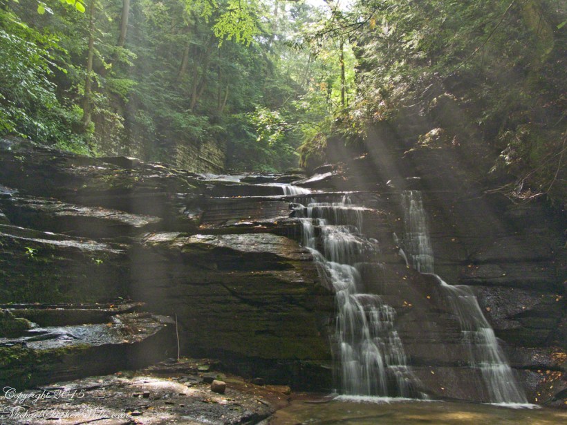
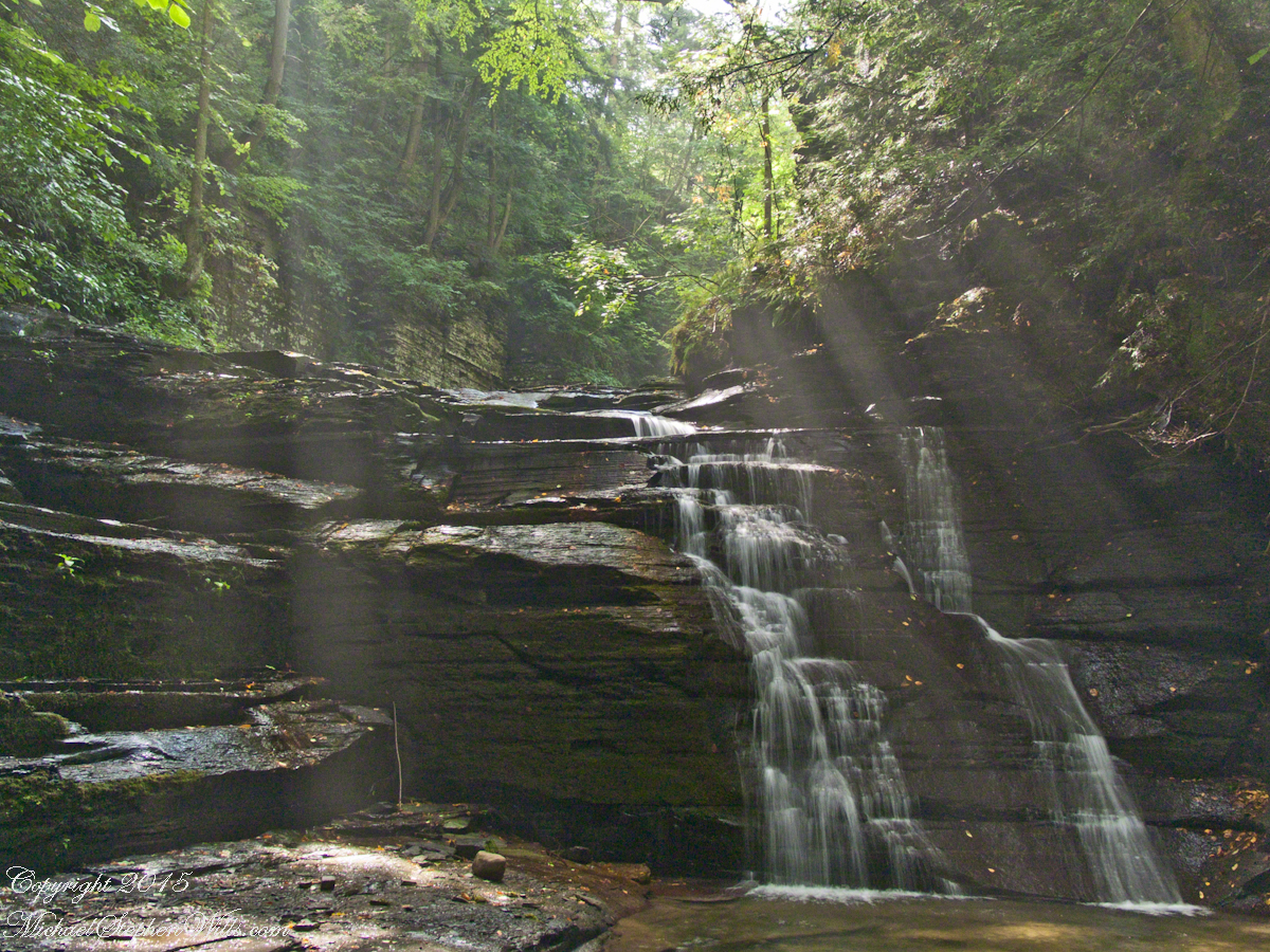
Presented here is the original photograph from July 2004 and an second version, produced July 2018. Both were produced at a low flow after many days without rainfall. The first learned fact is a significant water source for Buttermilk Creek and all the Finger Lakes gorge creeks, is ground water percolating through the sedimentary rocks cut through by the running water. The beautiful fall of water seen here is possible because the creeks flow through periods of drought, a lower flow creating these gentle cascades.
Click either photograph for a larger view.
“Summer Dream, Buttermilk Falls -2004”
pH
Secondly, because Finger Lakes sedimentary rock formed beneath warm, shallow seas 400 million years ago, water percolating trough the stone acquires soluble carbonate (calcium carbonate, Ca CO 3), an chemical imparting basic (as opposed to acidic) properties to the water. This characteristic buffers the water protecting us in the Finger Lakes from the effects of acid rain. When the pH of rainwater falling on the Finger Lakes is measured, it is acidic, falling below 5 on the scale. pH is a measure of reactive hydrogen in water, the more hydrogen the more acidic. Neutral pH is a 7. The water flowing in Buttermilk Creek is consistently around 8, in the basic side of the scale.
“Summer Dream, Buttermilk Falls – 2018”
James Potorti was a native of Ithaca who perished at 52 years of age in New York City on September 11, 2001 were he worked on the 96th floor of 1 World Trade Center.
Copyright 2022 Michael Stephen Wills All Rights Reserved
Augusts are typically dry in the Finger Lakes, drawing down creeks to a thin flow perfect for photography. I took the opportunity of Sunday leisure time to climb into Fillmore Glen gorge, set up the tripod and shoot.
The sun broke through the clouds for this shot.
Copyright 2021 Michael Stephen Wills All Rights Reserved
Whoosh….whoosh. Taking out the garbage Monday evening, July 15th, 2019 I heard the unmistakable sound of a liquid propane burner. As the propane is gasified and ignited, the flame and exhaust are directed into the balloon, all under control of the human operator. What a sound!!
These past years, hot air balloons started launching from West Hill and, when the breeze (balloons never launch in winds, as far as I know) is right the balloon and gondola full of passengers drift in the direction of our home. More than one time, directly overhead, I estimate 200 feet away. We could clearly see and converse with the passengers. What fun.
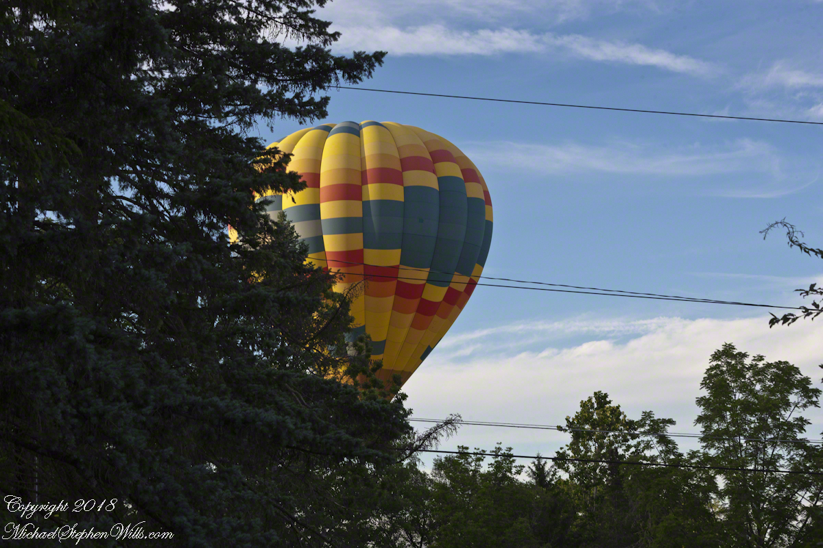
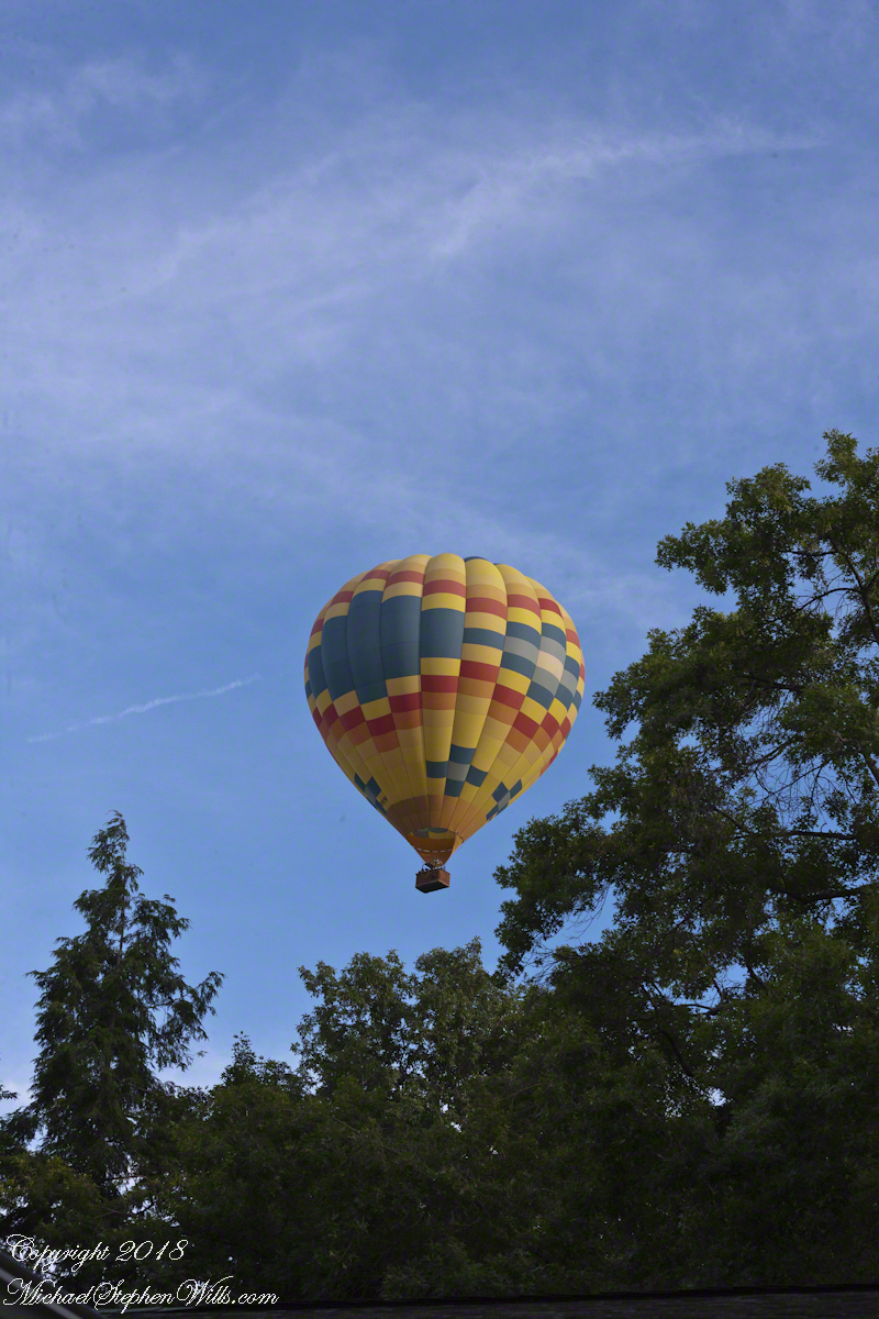
Each previous viewing I regretted not filming the balloon as the vision floated away. Last Monday, I dropped everything (not literally, I did leave the garbage in the bin), mounted the Canon lens EF 70-300mm f/4-5.6L IS USM on a EOS 1Ds Mark III body, returning to the north side of our property as the balloon emerged from the trees, only the envelope visible.
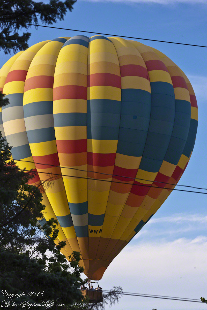
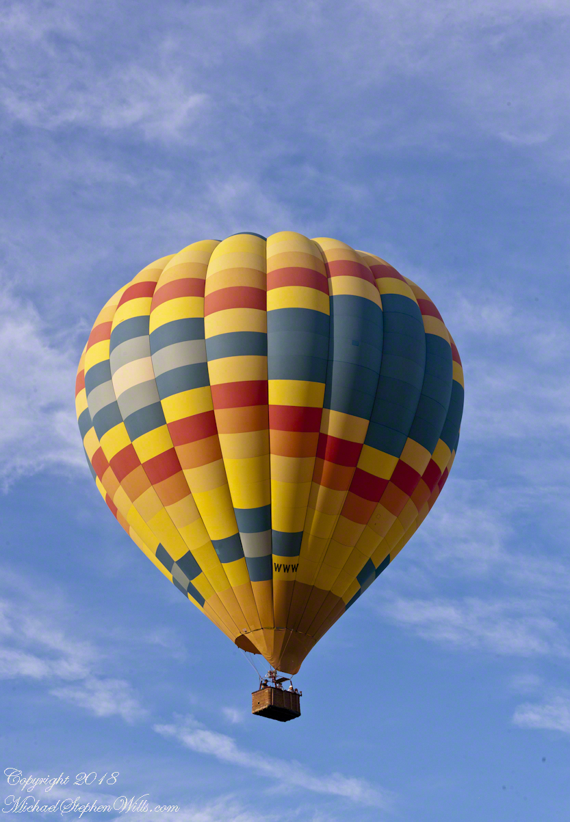
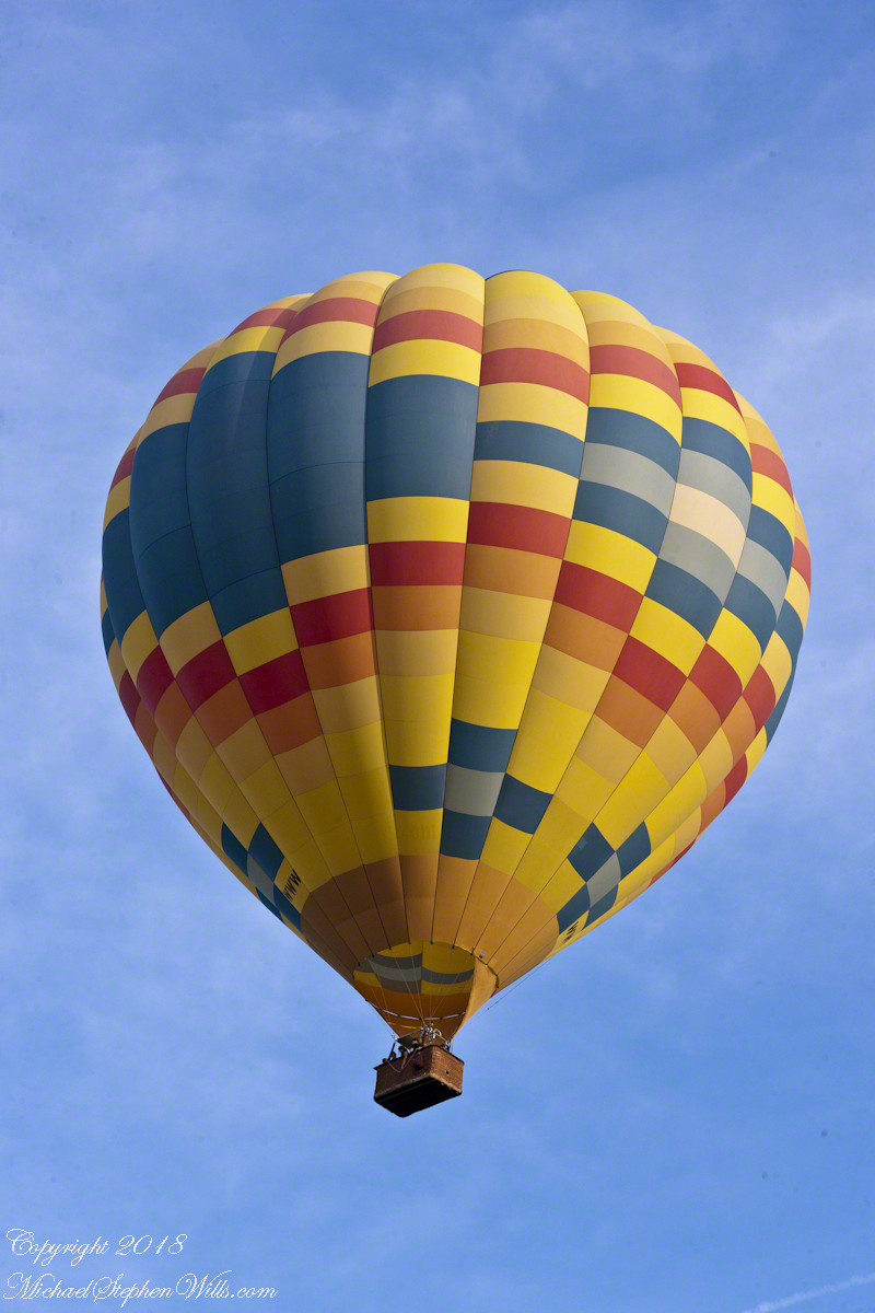
We have enjoyed this balloon before, the envelope pattern evokes a classic Navajo Rug, the colors really pop against the blue sky.
Why the Whooooosh?
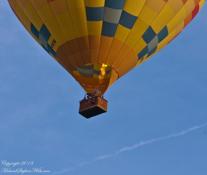
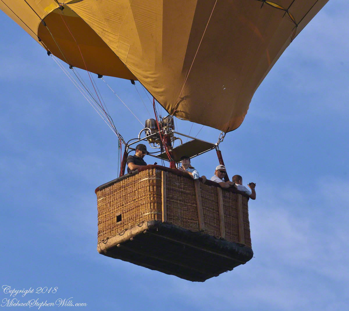
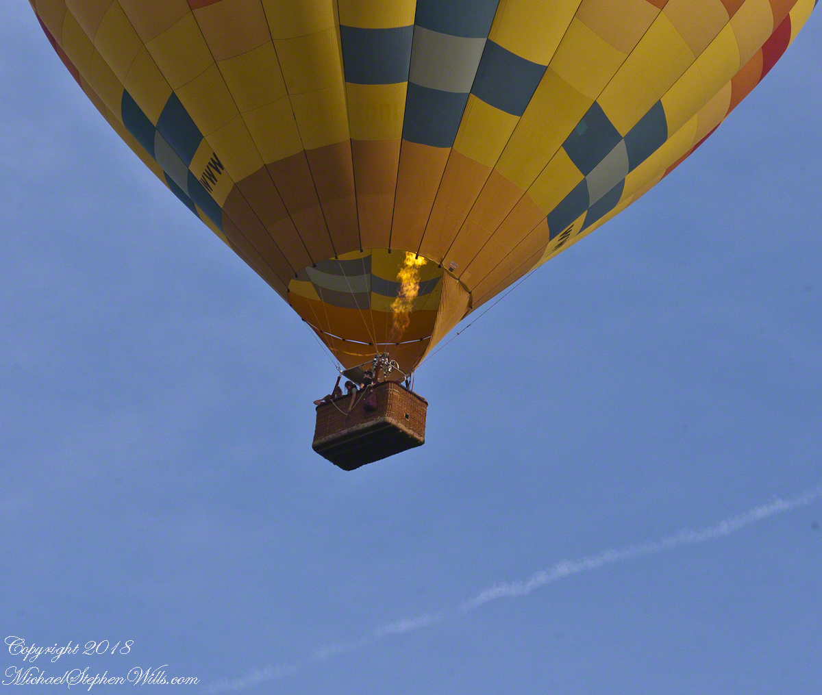
Tourists and local residents pay $230 per person for the experience of floating silently over Finger Lakes landscape with a launch from Trumansburg, ending up over Ithaca, in its valley surrounded by hills. Cayuga Lake is visible the entire flight, to the east, then northeast as the path reaches Ithaca. As they approached the balloon elevation was not so high relative to our home. You can see this clearly in the first photograph. With the zoom on 300 mm I was almost able to look into the basket, each of the four riders (the operation, looking at a cell phone, and three passengers) was recognizable.
There are three propane burners, two in front and the edge of a third just visible between the front pair.
Ethereal silence and reveres are broken when the burner lights up. Here it appears only one burner is running, sending the craft high above us.
Seven of the forty images are shared here. The duration was three minutes. With a goal of capturing the action, I had the camera on burst mode, with the shutter pressed the exposures run serially, in close succession.
I perfected these seven photographs to represent the perfection of this colorful event as it passed from the northwest, disappearing in the tree line to the southeast.
I am listening for the next event, camera and lens ready.
Post script….it was my usual early morning blogging time when I heard the familiar Whooooosshh, whoooosssshhh, grabbed my IPhone for a video and captured the following. You will hear the gondola occupants chatting. The burner was turned on at 1:03 when the balloon was fairly distant. The Whoooosssshhhh is low, but audible.
Today, they were headed North/Northwest in the opposite direction from Monday and are backlit. Enjoy!!
Copyright 2022 Michael Stephen Wills All Rights Reserved
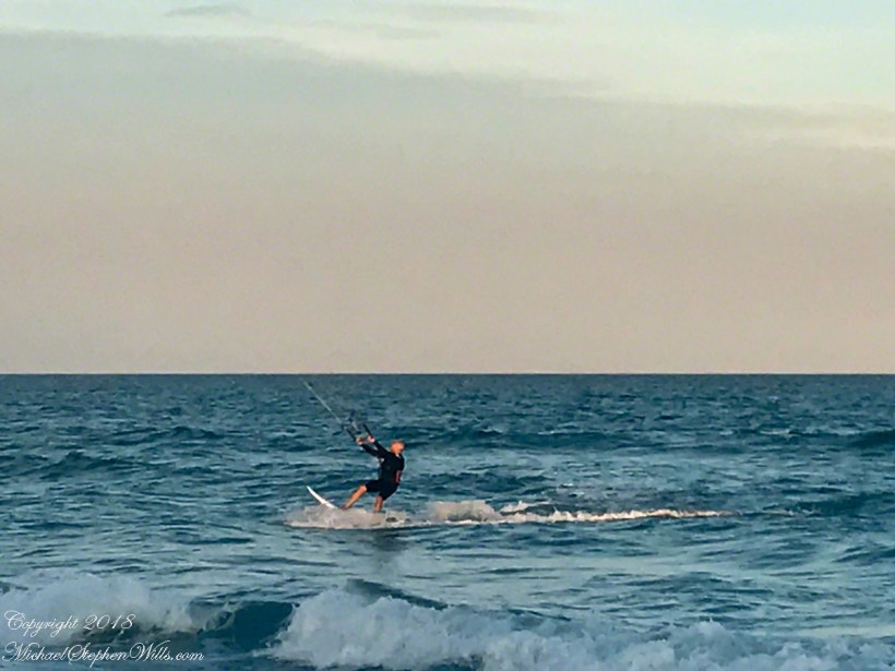
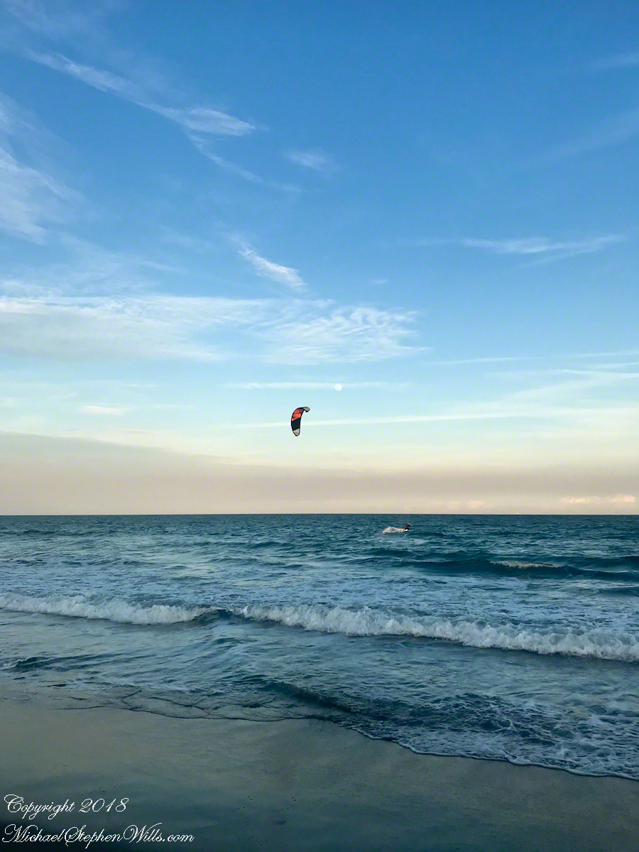
One day before the 2019 Total Lunar Eclipse a full moon rose 4:25 pm above the Atlantic Ocean off Cocoa Beach, the “Space Coast” of Florida. We saw a power kite to the south, with the southerly winds there was time before he was on us. I took the following photographs with what was at hand, an iPhone 8.
Click any photograph to visit my Online Fine Art Photography Gallery
At 50 minutes post moonrise, I included the orb in this frame as the rider tacked, rising a water crest.
Risen Full Moon and Surf Boarder at Sunset
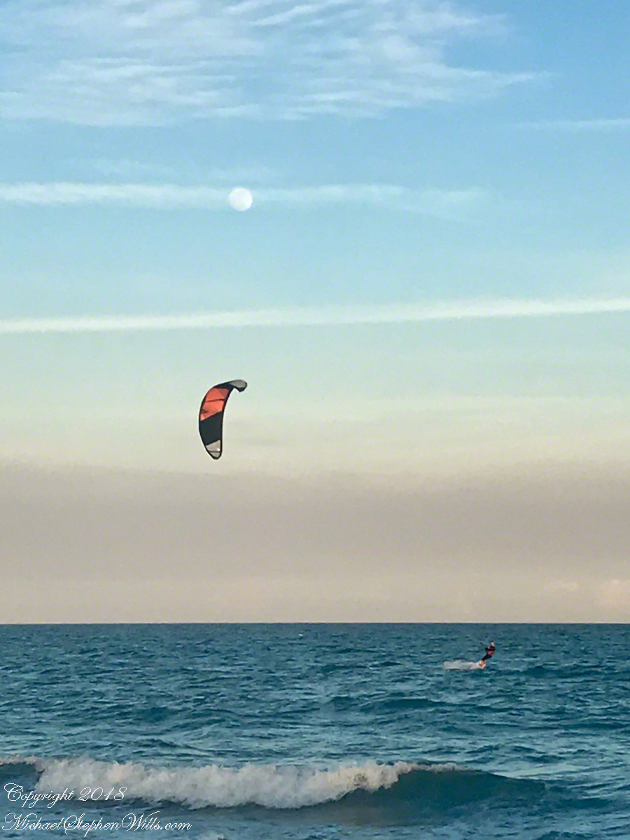
A flick of the fingers to zoom in, the moon and rider are together as he rides toward shore.
Risen Full Moon and Surf Boarder at Sunset with cruise ship
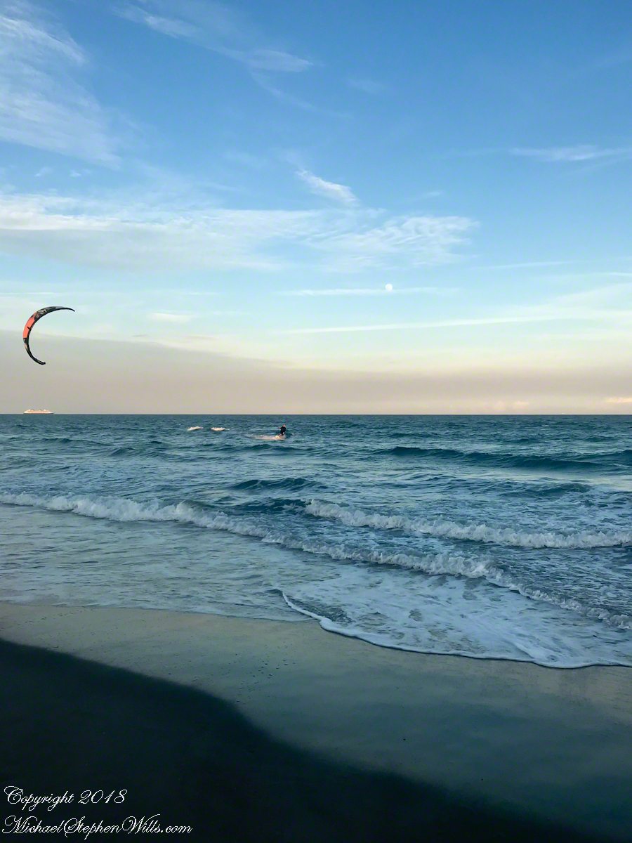
This time of, Saturdays, the cruise ships depart Cape Canaveral Port. The kite is above the distant ship. It is amazing the kite allows sailing into the wind, his heading is southwest. The shore limits his progress, forcing a tack towards a southeast heading.
Kite Surfer coming to shore at sunset.
Or not, it seems he plans to tack to the northeast, continuing progress north up the coast. I have to wonder how he will return to the starting point?
Copyright 2022 All Rights Reserved Michael Stephen Wills
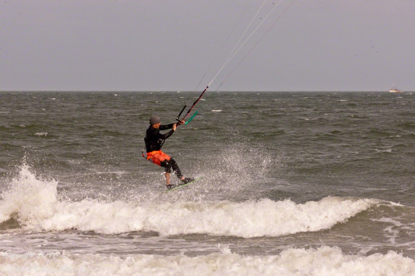
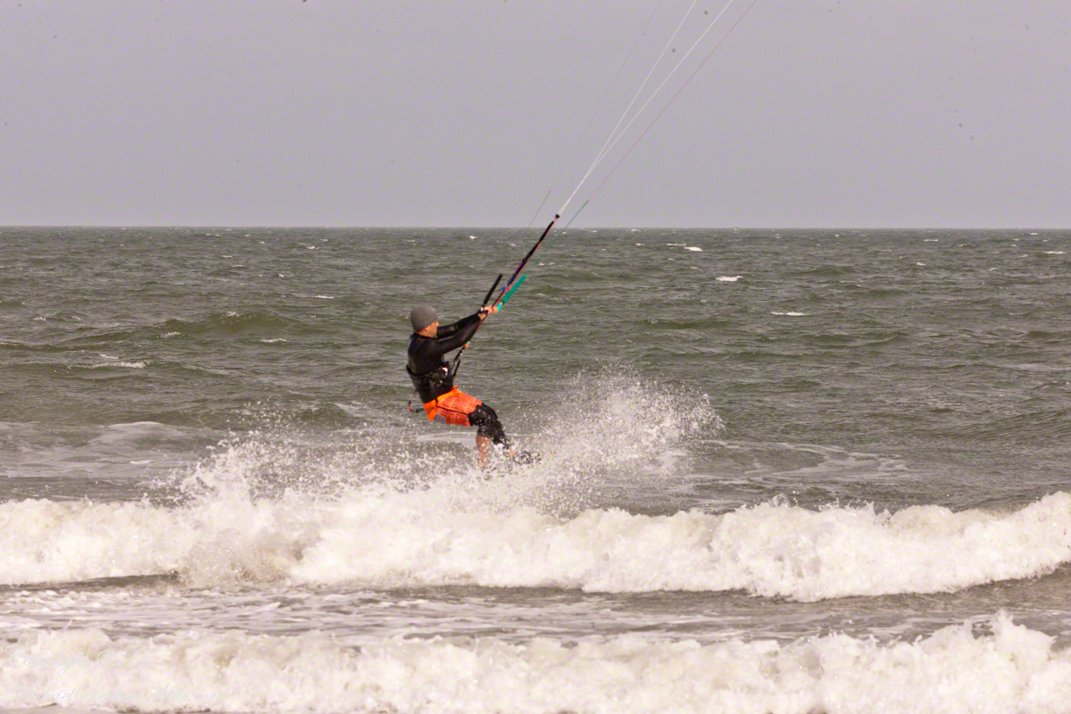
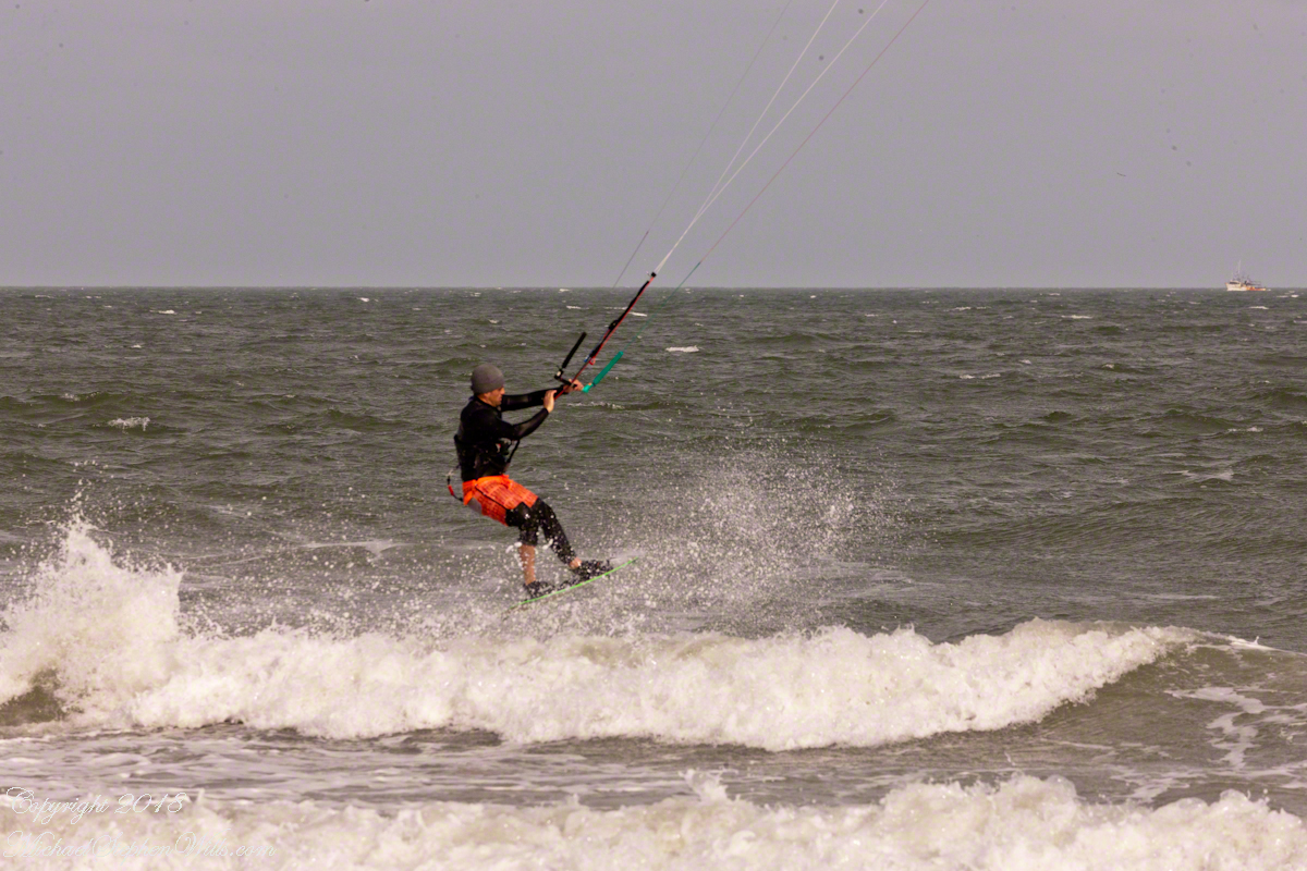
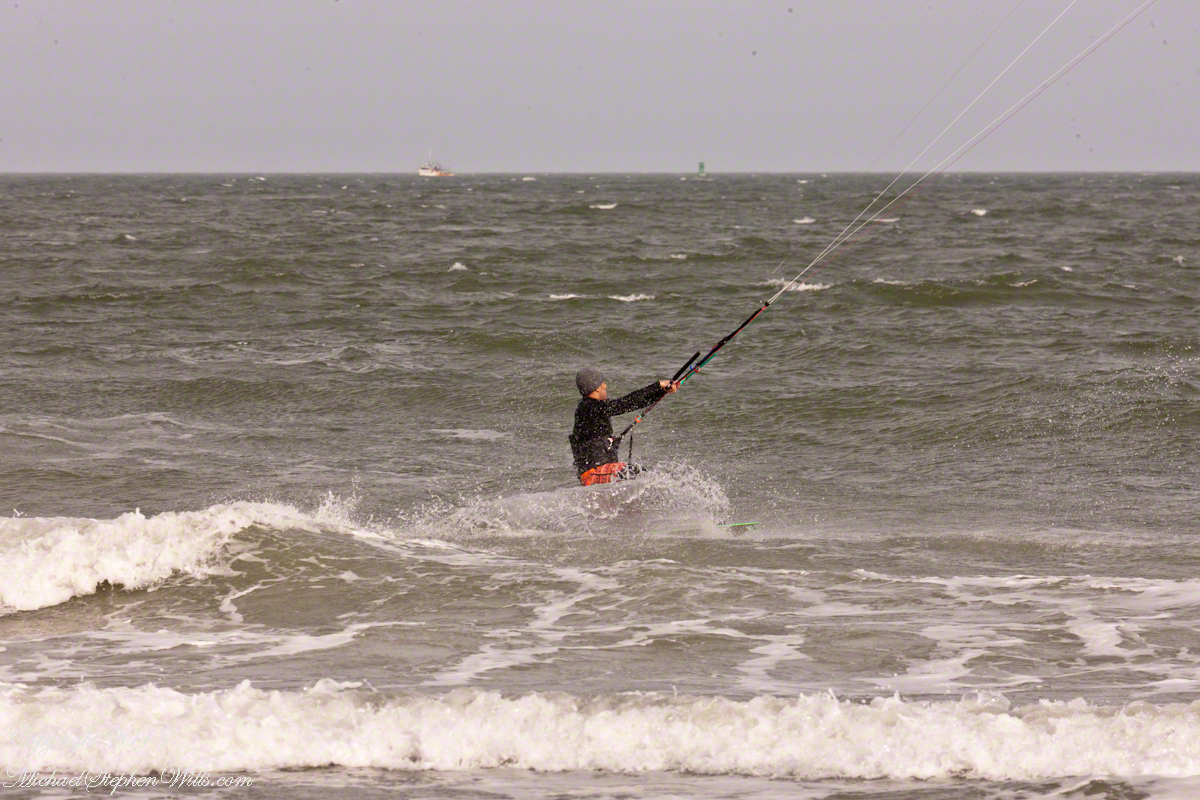
For a change of scene we visited Cape Canaveral, the beach at Cherie Down Park were an informal gathering of Kite Surfers was underway. Here is a series of action shots, one second elapsed from first to last.
Click any photograph for my Online Galleries
Conditions were excellent: good northerly wind, the sun overcast and, it being afternoon, in the west. Surfers stayed relatively close to shore, near their starting point. I had packed the “heavy gun” camera with a tripod.
Panning the scene (swiveling on the tripod), the camera in rapid exposure mode, I pressed the shutter release and held it down.
The surfer was captured mid-jump to landing.
Copyright 2022 All Rights Reserved Michael Stephen Wills
In the early morning hours of Sunday, September 10, 2017 as Hurricane Irma approached the Florida Keys, I cannot sleep, worried about family members north of Miami and in Daytona Beach. To pass the time, I returned to the golden hours of March 4, 2017 evening. On vacation, Pam and I walked Cocoa Beach starting from Lori Wilson Park, headed north.
The light was perfect when I decided to switch to Raw-Jpeg mode, feeling the extra space was worth it. I don’t know why I don’t shoot Raw 100% of the time, as always, in retrospect, I regret using jpeg only. The camera was the Sony Alpha 700 dslr with a DT 18-200mm f3.5-6.3 lens purchased 2008 after an expedition to the Superstition Wilderness.
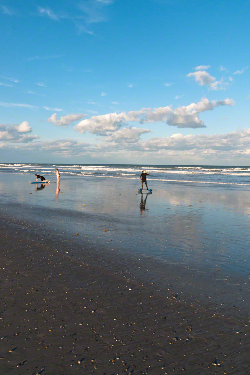
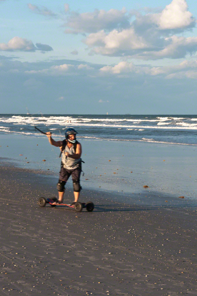
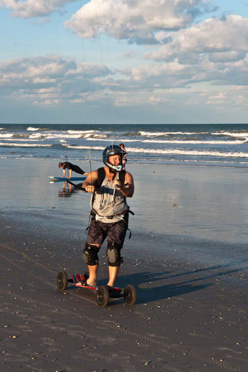
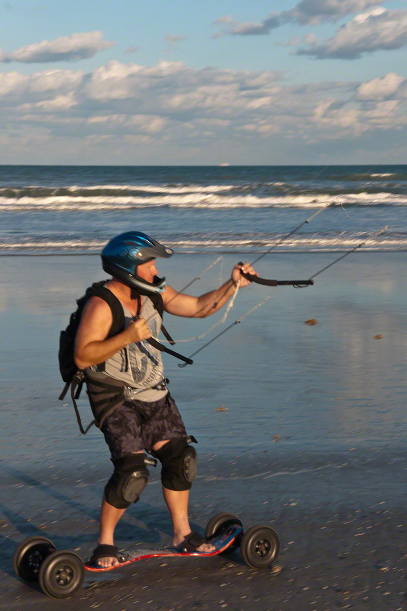
After capturing a wedding photo shoot and surfers there was this set of two Kite Skaters going at least 20 miles an hour. The Sony Alpha was quick enough to capture some of the action in raw mode, I am not satisfied with the sharpness of the images as the lens was not fast enough.
We had never watched kite skaters before and were prepared to understand the vision from watching distant kite surfers out beyond the breakers. North winds are the best for any type of kiting on Cocoa Beach and, that day, the wind was northeast. These riders zipped by in less than a minute. The sport is low key, it does not exist on Wikipedia. Image that. These two are having a fantastic time and stayed upright, going on and on and on down the miles long beach.
Sailskater Dreamview with Cruise Ship
1990 KiteSkate pioneers on the USA east coast experimented with four-line controllable parafoil kites powering in-line skates for exciting rides on asphalt surfaces.
Her partner approaches
The name “Wheels of Doom” suggest the danger of going this fast over a hard, rough surface.
He makes it look easy
These Cocoa Beach riders are outfitted for speed and safety: pads, helmets.
He maneuvers kite overhead to slow down.
Barefeet?? Unprotected skin? They must know how to dress, though maybe not. He has never fallen?
Full speed ahead with the kite positioned forward.
The beach within the tide line is solid, the pebbles, broken shells and such unforgiving as asphalt.
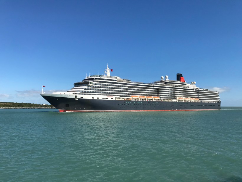
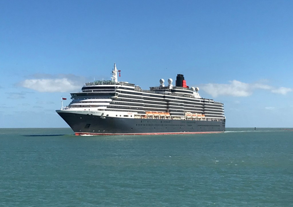
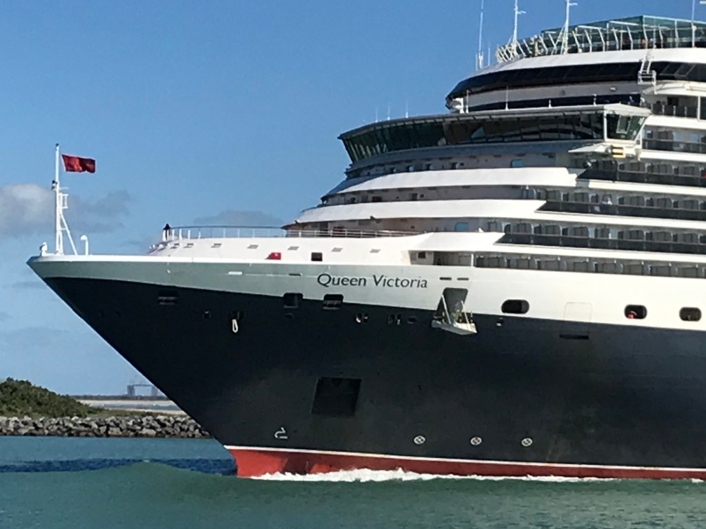
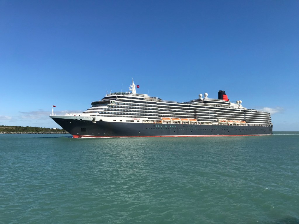
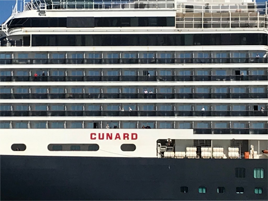
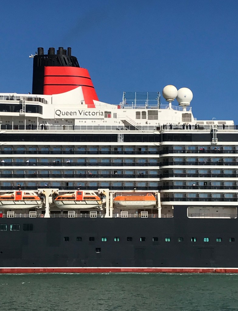
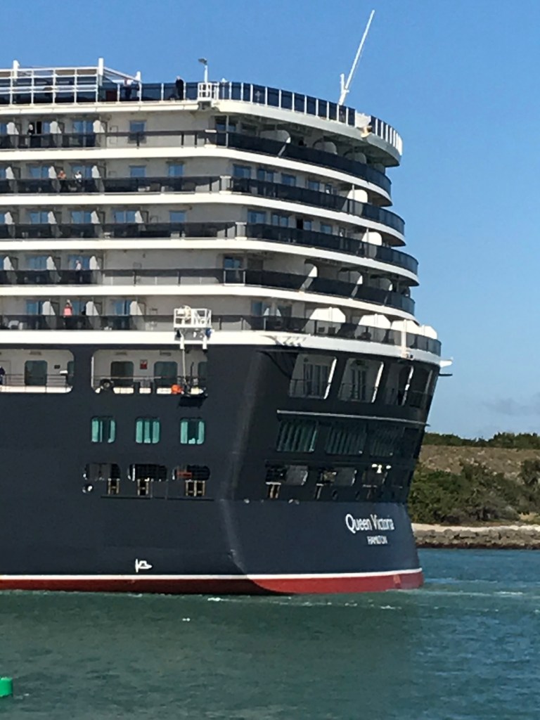
Pam and I walked from Cheri Down park this morning of February 2020 to Jetty Park where we were fortuitous witnesses to the arrival of the Cunard ship Queen Victoria on an 84-day cruise around South America.
Click video to start. To do this from WordPress Reader, for best results first click the title of this post to open a new page. Ditto for the photograph
I used my IPhone 7 to capture the event. Understanding the context of a ship’s arrival opens a whole new world. Standing on the pier I researched the voyage.
Here is the list of ports on the itinerary. These include the Caribbean, Central America and many of the same ports visited on the 2016 Oceania cruise Pam and I enjoyed from Lima, Peru to Buenos Aires, Argentina.
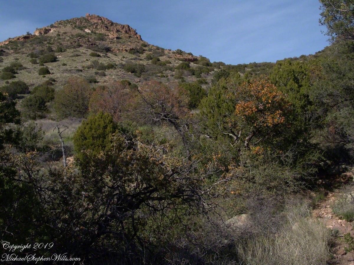
Nugget and Colorado had eaten their fill of the rich early spring grass of the apple orchard, The Searcher pulled together the pair for the return to Pine Creek. Perched on Colorado, the lead held by The Searcher, I listened as he shared survival facts remembered from Peter Bigfoot’s desert survival course. The Reavis Mountain School of Self Reliance, founded 1979, is along same Reavis Gap Trail (#117) we traversed. After descending to Pine Creek and up to Reavis Gap (where I first met The Searcher), it descends to meet Campaign Creek where the survival school is located.
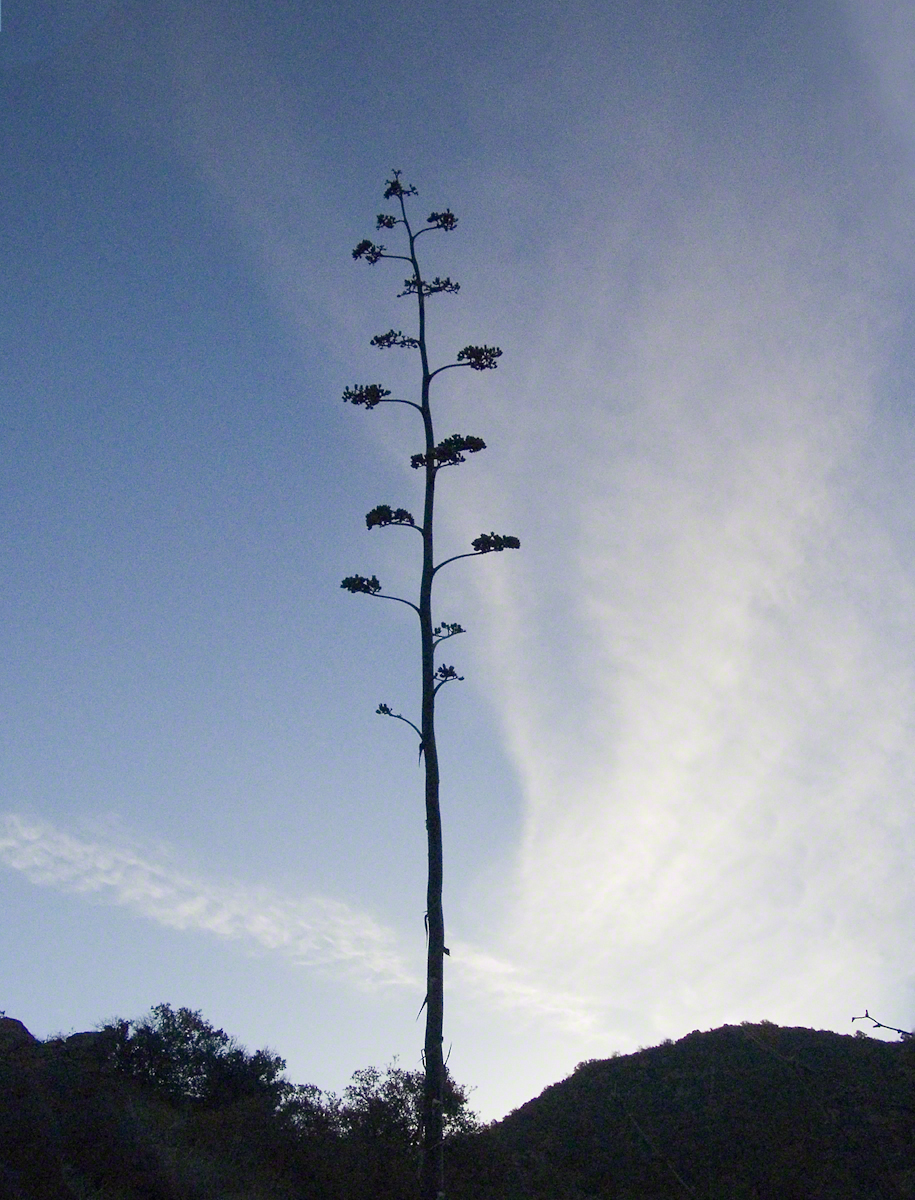
He pointed out on the many flowering Century Plant stalks along the trail. “These are great to roast when young, just as the stalk starts to bud from the center, before it starts to lengthen.” By the time the stalk flowers, as in the following photograph, it is quite tough.
Agave flower spike against the dawn in the nameless canyon west of Two Bar Mountain, Superstition Wilderness, Arizona.
At the base of boulders, shaded from the sun, the ridgeline fern takes hold. Surviving on seasonal water seepage, it dries out during dry spells to later revive and reproduce via spores. As I recall, the dry or fresh form is useful as an analgesic.
An absolute necessity for bushwacking (walking off the path), a pair of rattlesnake proof boots were worn on every expedition. These rose to mid-calf with a layer of lexan, the same as used for bullet proof glass.
Swept from the Saddle
We passed the time in this way, me holding on to the saddle horn bouncing and shifting as Colorado negotiated the rough and steep path down to Pine Creek where the vegetation changed from very sparse to the thick growth you saw in my post “A Peaceful Day at Pine Creek”. On the east side of Pine Creek a trail, unmarked on the maps, follows the creek bed uphill north towards Mound Mountain. In 50 feet or so we passed the side trail to my campsite, our destination was The Searcher’s campsite. I was not paying near enough attention to the surroundings when I looked up to see an Arizona Oak limb headed to my chest. With no time or space to negotiate the obstacle I was left to grab hold and hang on to be swept from the saddle. The branch held my bulk for, at most, a second before giving way.
In bending flexibly before breaking the live Oak wood and centuries of soil underneath the trees softened my fall enough so I was badly shaken and unhurt. Falling a foot or so in any direction would have resulted in serious injury or instant death. Colorado stopped, looking briefly back as I slowly came to my feet. After taking account and letting the circumstance wash over me, I got up and proceeded slowly while we both contemplated my miraculous survival.
Bear Shelter
I now took up the rear as in a few hundred yards the valley wall rose on both sides of the Creek to form a short, narrow pass. The walls fell away just as quickly, the valley floor leveled out and we came to The Searcher’s camp. The bear shelter stood out right away. This was a ten foot high teepee of 4 – 6 inch diameter tree trunks tied with rope, within was a hammock . The three foot wide opening left only one unprotected side while he slept, offering some protection from the all too common roaming bears, most commonly from September to November when mazanita fruit ripens.
Well stocked in every respect, for a wilderness camp. In the following years of roaming the wilderness the camps of other horse people were similar in this way: stoves, comfortable cots, radios, pots and pans all fit into panniers. As a noun pannier is seldom used in the singular because there are always two, one on each side of the horse for balance. I sat on the wide top of one enjoying a cold beer pulled from a bed of ice.
We discussed the benefits and drawback of horses for exploration. I required a gallon and a half of water daily and in the desert wilderness provided for storage of three days, 4 and a half gallons. At 8 pounds each, that is 36 pounds!! Starting out, my pack weighted 90 pounds with a camera and tripod.
There are benefits to having a mode of transport that thinks for itself and drawbacks. Each individual has its own personality and horses do try to get away with what they can. It is wise to limit your dependence on a horse until you know each other well. In retrospect, I was “out on a limb” riding Colorado modified by being led by someone the horse knew well.
It was soon time for me to head back to camp. We set the agenda for the next day, an early start for the hike out. Colorado was to be fully loaded so my riding was not an option, just as well. It was possible to lighten my pack to almost nothing and I looked forward to that.
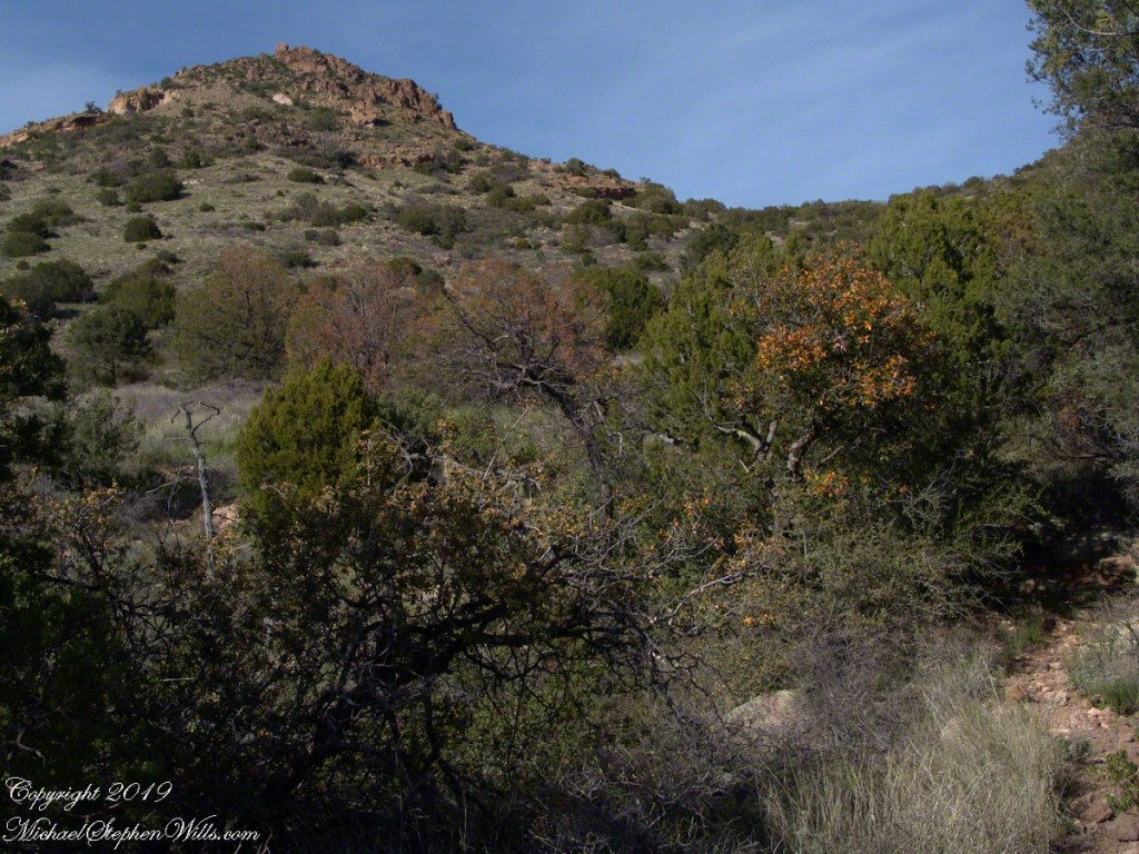
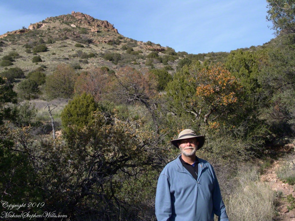
I took some time before dinner to set up the tripod for a self-portrait on my last full day in Pine Creek. The view is northeast from the Arizona Trail near my camp, the ridge overlooks Reavis Gap. I did a version of the view with and without me.
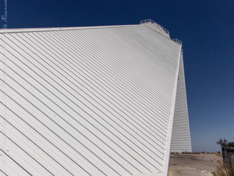
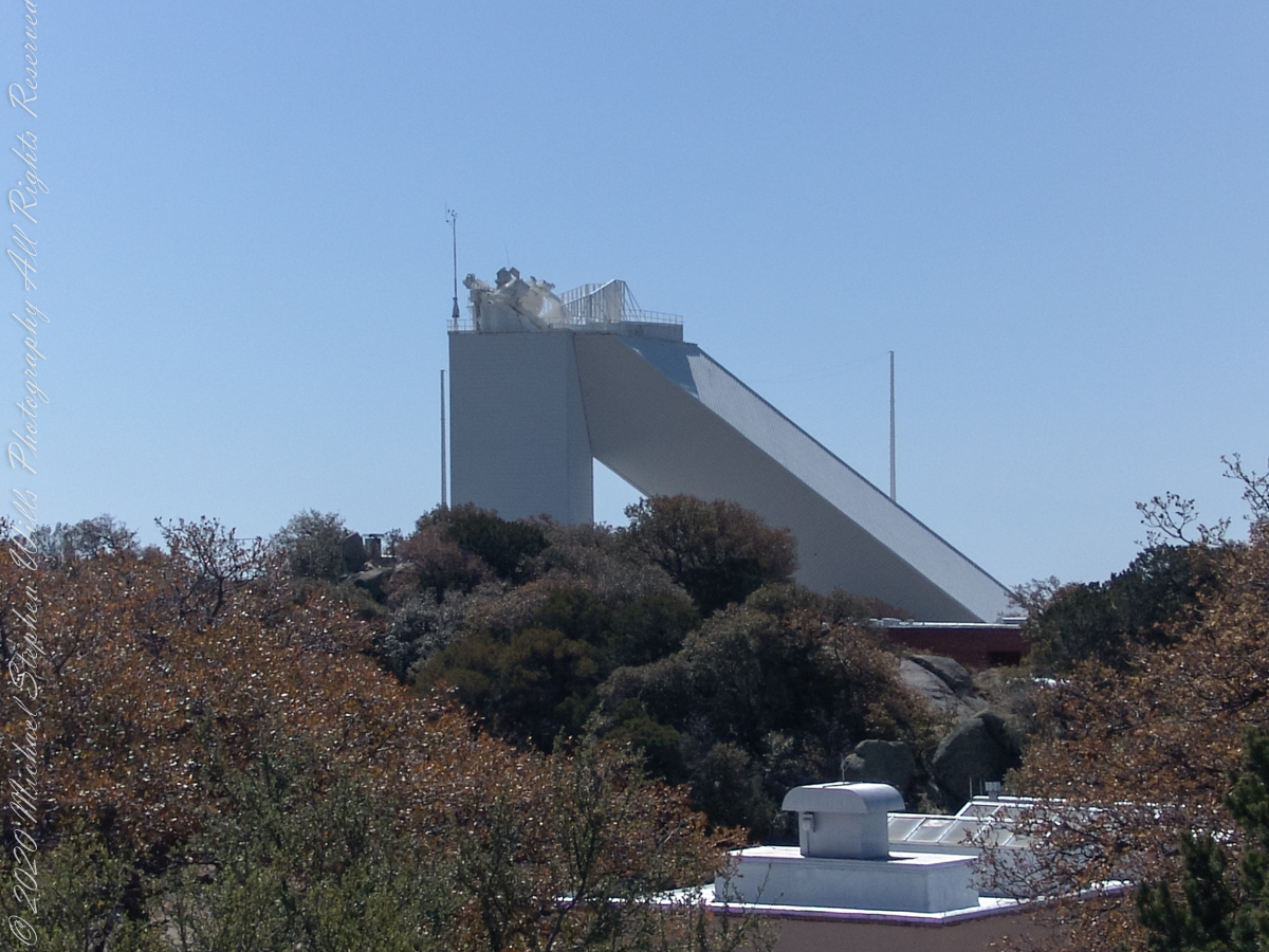
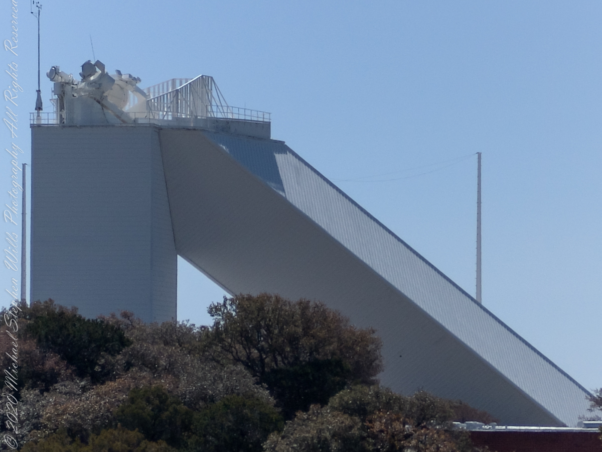
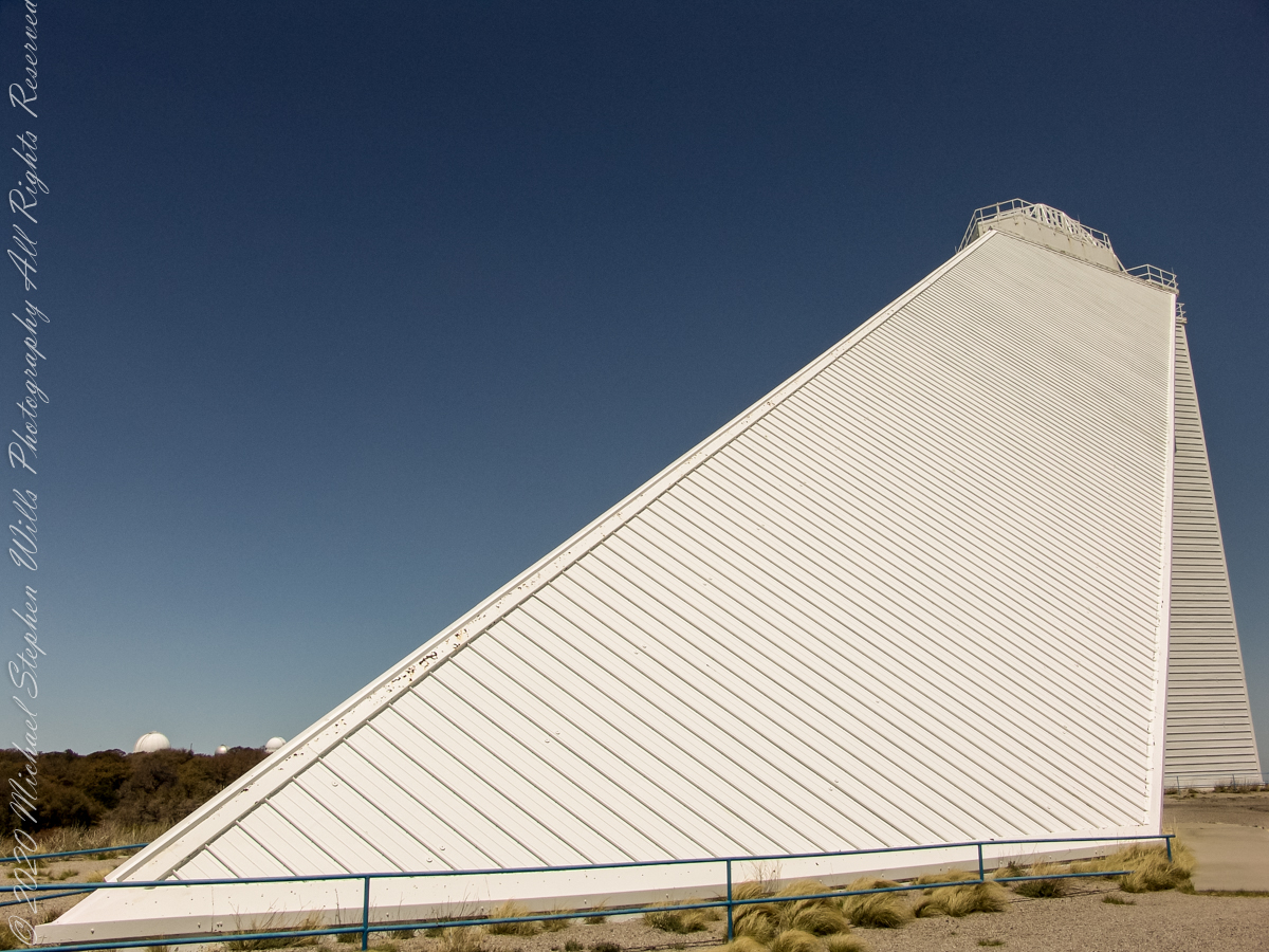
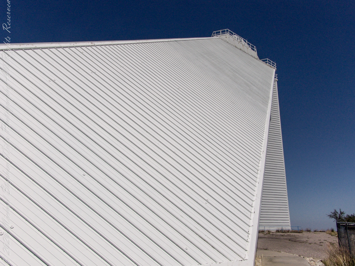
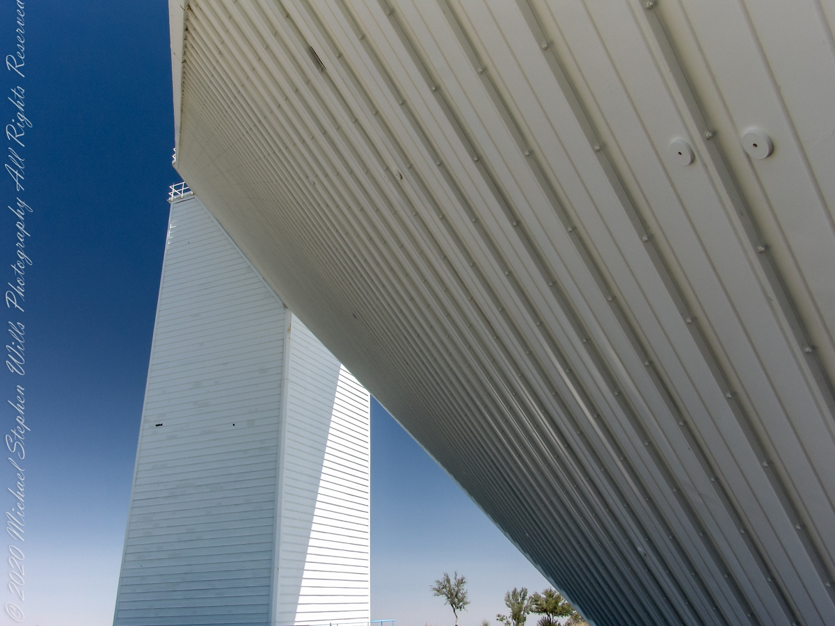
These views of the McMath–Pierce solar telescope enclosure are the preliminary to a guided tour of the instrument, April 20, 2005.
On the tower are three heliostats, plane (flat) mirrors mounted on computer-controlled platforms to follow the sun across the sky to direct sunlight to primary mirrors underground, beneath the base of the slanted shaft
Built in 1962, the building was designed by American architect Myron Goldsmith and Bangladeshi-American structural engineer Fazlur Rahman Khan. It was the largest solar telescope and the largest unobstructed aperture telescope in the world. It is named after the astronomers Robert Raynolds McMath and Keith Pierce.
The slanted shaft, looking toward the tower.View of the slanted shaft, looking toward the tower.View from underneath the slanted shaft, looking toward the tower.
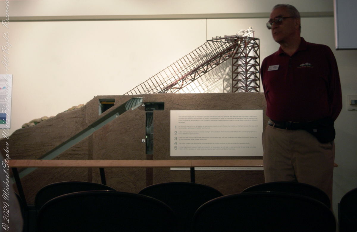
Inside the McMath–Pierce solar telescope is this keyed model of the observatory. Our docent for the morning tour stands alongside.
Reference: Wikipedia “McMath–Pierce solar telescope”
Copyright 2022 Michael Stephen Wills All Rights Reserved