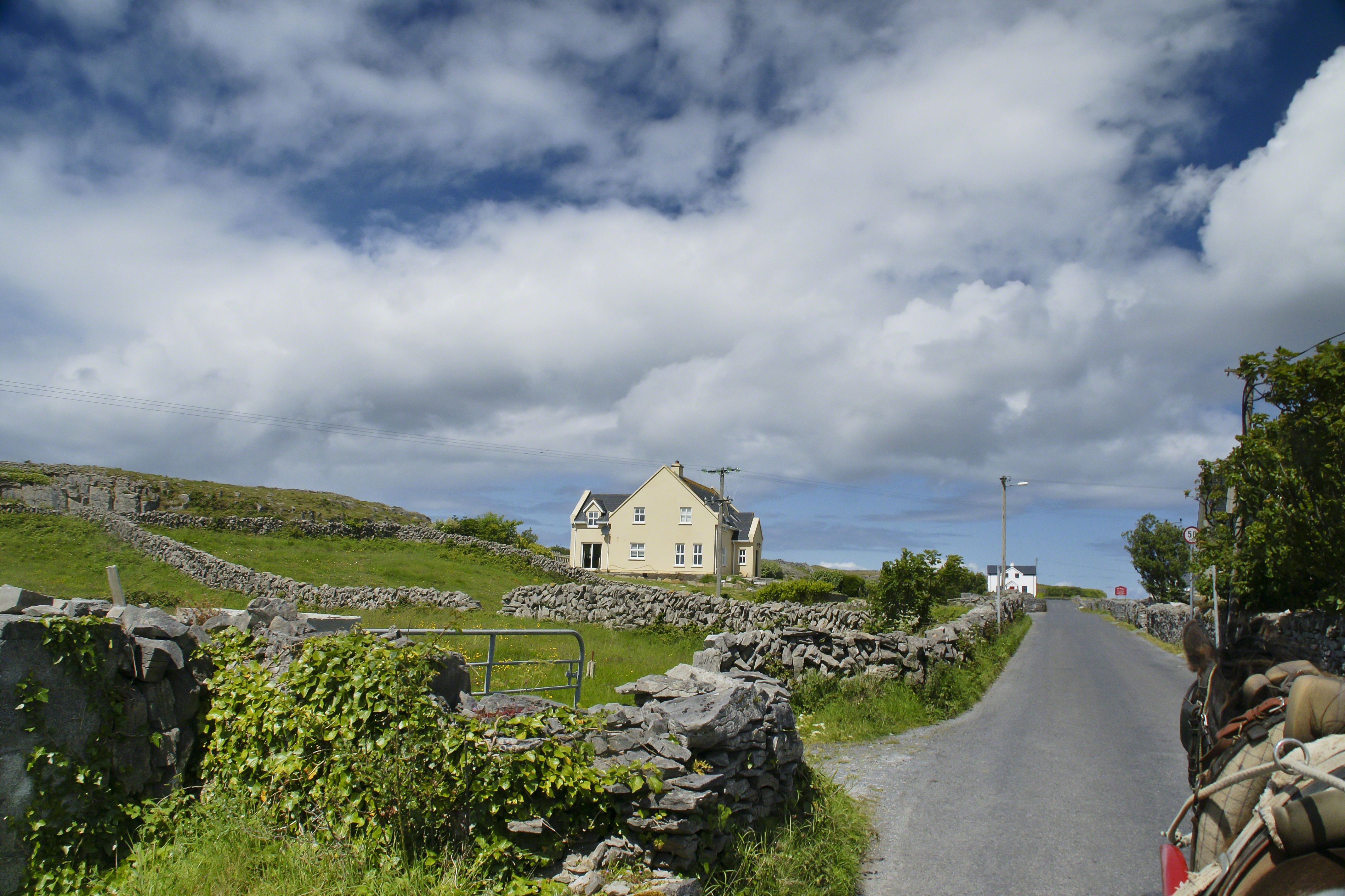
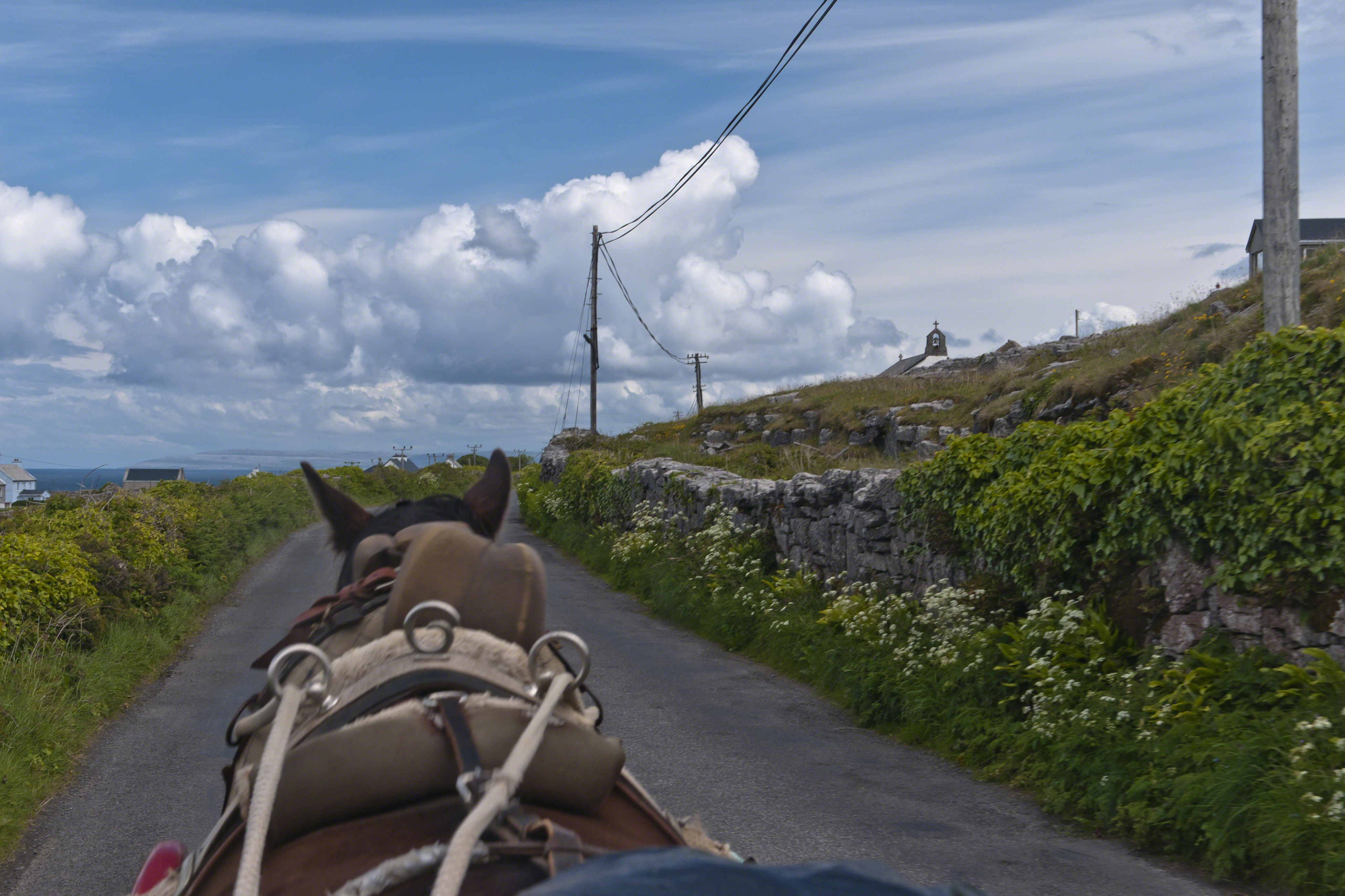
Enjoying travel on a horse trap, a type of carriage, on Inishmore (Inis Mór), the largest Aran Island in Galway Bay we headed up Cottage Road from Kilronan, the main island settlement. It was there we embarked from the Doolin ferry, hired the driver, his horse drawn trap. Our destination an iron age fort, Dun Aengus (Dún Aonghasa, the Irish language name) and the sights along the way.
The feeling of this blurry photograph is too good to let lie. I just kept snapping away from the moving carriage, here we are descending a hill and moving a bit faster, the elevation provides this view of Galway Bay, Connemara and the Twelve Pins beyond.
There’s a gate in the cow field, though some fields with cows were gateless. There is a simple answer to the mystery. At one point our driver stopped by his field and and demonstrated how the wall is pulled down to make an opening, the rocks stacked to make this easy. When the cows are in, the rocks go back up, a matter of 10 minutes or so to make a cow-width passage.
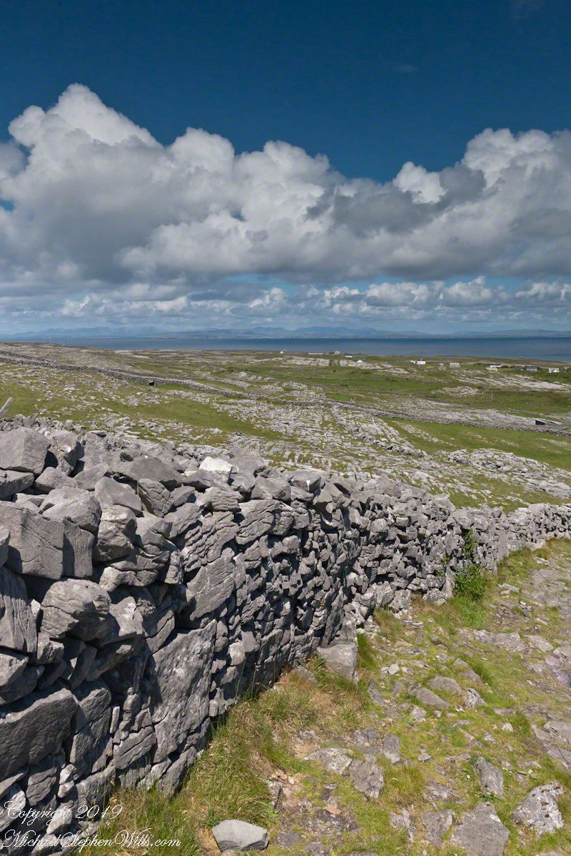
From the heights of Dun Aonghasa the karst, a type of limestone, of Inishmore falls away for the sight of the twelve pins against Galway Bay. These unworked, barren slopes have a pale green covering growing seemingly on air.
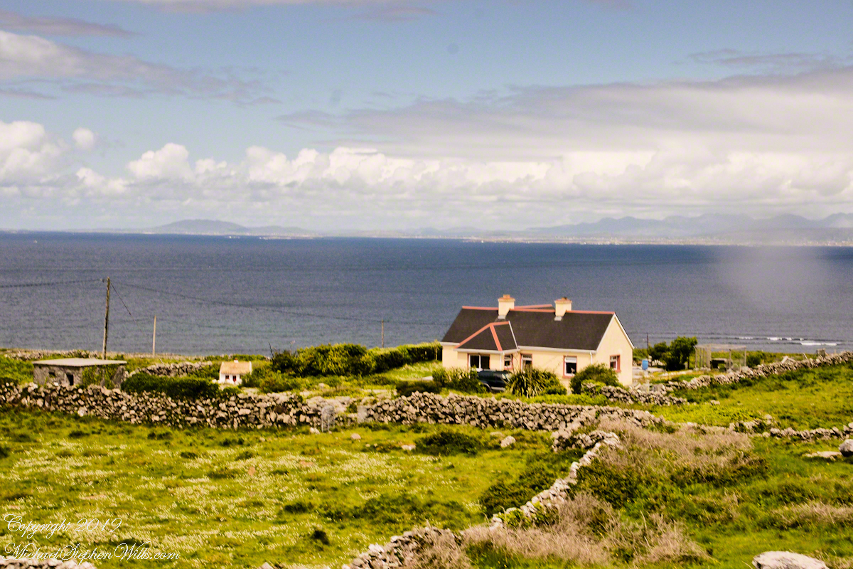
On approach to Dun Aonghasa, Cottage Road dips closer to the road for this view of a field with enough dense grass for five cows to feed, the rest on the cushioning green. Where did this come from?
The answer is simple hard work, hundreds, a thousand years of hauling seaweed and sand, mixing it on the barren limestone, allowing the rot of time to work. Hold it down with roots, till and refresh.
Modern stonework borders the 1/2 mile path to the inner Dún Aonghasa walls, keeping tourists off delicate plants, maintaining the integrity of this ancient site.
The view north, northwest over the walled path to Dun Aonghasa (Dun Aengus) looking across karst landscape, walled fields, farms, the North Atlantic Ocean, coast of Connemara and the 12 Bens (12 Pins) mountains. Aran Islands, County Galway, Ireland.
Admittedly, I over-planned the Ireland trip. For every day possible the venues were pre-booked and paid. In theory planning provides more flexibility when life interrupts.
For the Inishmore planning, a perfect day, for me, was tooling around on a bicycle stopping where we pleased with welcome exercise in between. That was unrealistic, the day worked out otherwise.
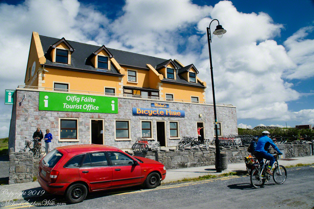
Upon disembarking from Queen of Aran, our ferry out of Doolin, onto the Kilronan quay we walked toward the bicycle rental and Pam refused to bicycle. Her objections were many, safety, impending rain, time. She did have a point about time, the ferry leaves at a set time leaving errant tourists to fend for themselves. We were unused to cycling, still Dun Aonghasa is just over 5 miles from Kilronan, less than an hour round trip. With our starting time of 11:30 am there was 3.5 hours slack for returning to the quay before the 4 pm departure. Plenty of time for wandering the ruins and stopping along the way.
We followed Pam’s advice. Still there were the many bicyclists. Perched on our horse drawn carriage, on the uphill runs, each bicyclist we passed was proof positive to Pam of the wisdom of our choice. I was silently envious of their freedom and overlooked the many mini-buses on the narrow road.
When the day comes to mind, not often, I am left with the guilty feeling of not stopping into the bicycle rental office to cancel the reservation. An email was waiting for me the next day, asking where we were. Thus, the title of this post, “Stiffed.”
Pam’s Response to this post.
Pam’s reasons for not wanting to ride a bicycle around Inishmore: “I hadn’t been on a bike for approximately 20 years. However, if it wasn’t going to rain (it did), if the narrow road was larger, if there weren’t any minibuses loaded to the gills or horse traps sharing the same single lane, I would have considered it. Sitting back and enjoying the beautiful view on our private horse trap and listening to our very knowledgeable tour guide/driver was the highlight of this adventure for me. I am sorry you felt like you didn’t have a choice.”
Pam’s correction of my statement about her being concerned about time: “Time wasn’t a factor in my decision making. I also didn’t have a problem with you biking but there was no way I was going to do that.”
Copyright 2022 Michael Stephen Wills All Rights Reserved
Enjoying travel on a horse trap, a type of carriage, on Inishmore , the largest Aran Island in Galway bay, we headed up Cottage Road from Kilronan, the main island settlement. It was from Kilronan we disembarked from the ferry, hired the driver and trap. Our destination an Iron Age fort, Dun Aengus, and sights along the way.
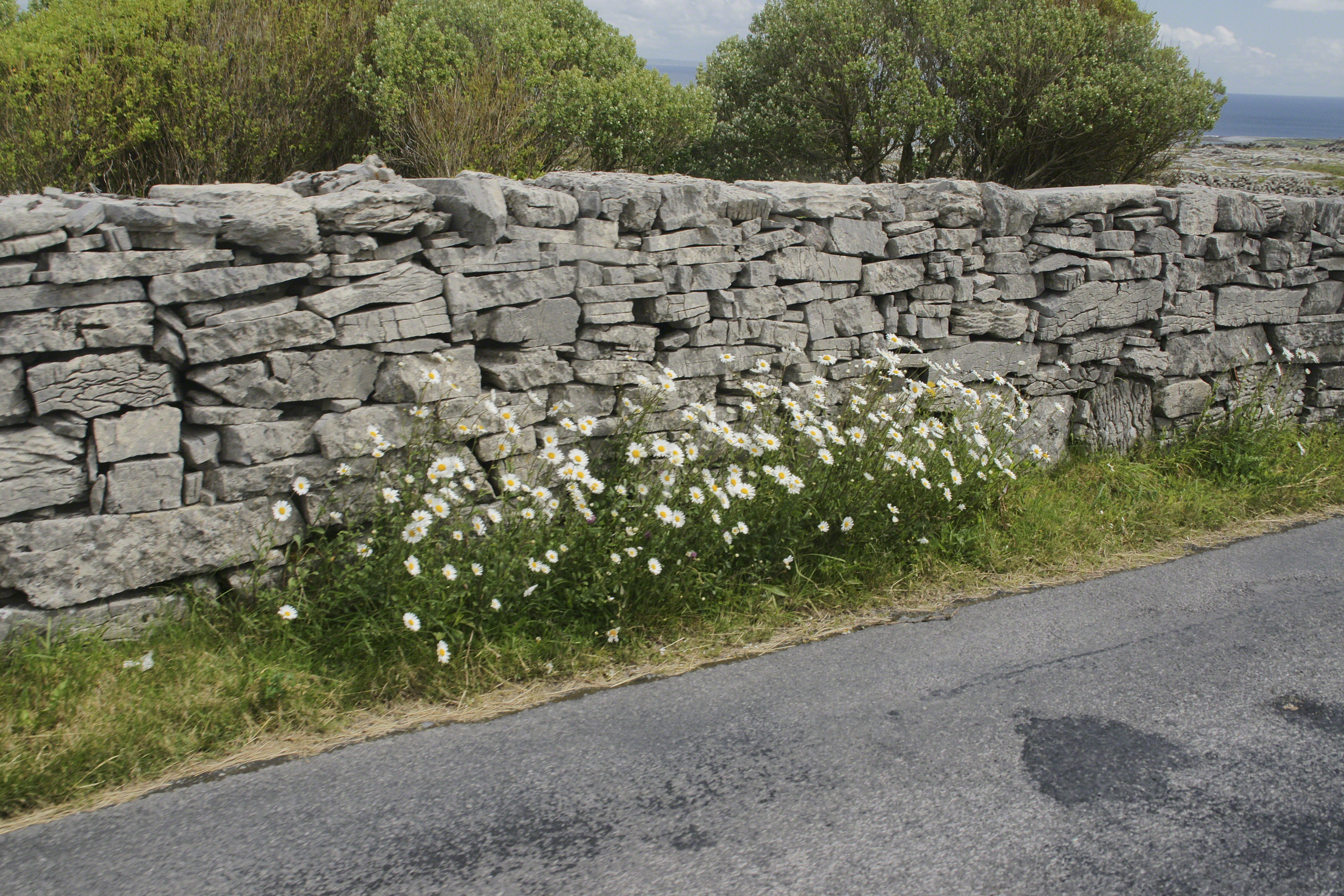
Dry Stone walls abound throughout Ireland. Ancient walls, buried in peat, were discovered in County Mayo and dated to 3,800 BC. This is a field wall on Cottage Road with daisies growing at the wall base.
The wall is composed of stones, not rocks. I have read in places a stone is a rock put to use or shaped by human hands. Other usages have rock and stone used interchangeably. For example, an internet search on “Dry Rock Wall” will return hits on the same. “You pays your money and takes your choice.”
Sources for this post: search Wikipedia for “Dry Stone”.
The Searcher arrived after breakfast. My camp was bundled up to join the rest of The Searchers equipment and supplies on Colorado’s panniers that replaced the saddle where I sat, and was dumped from, yesterday. This fifth morning of the adventure, I was to have the experience of a light pack for the 4.7 mile trail from Pine Creek to Campaign Creek, past the Reavis Mountain School of Self Reliance.
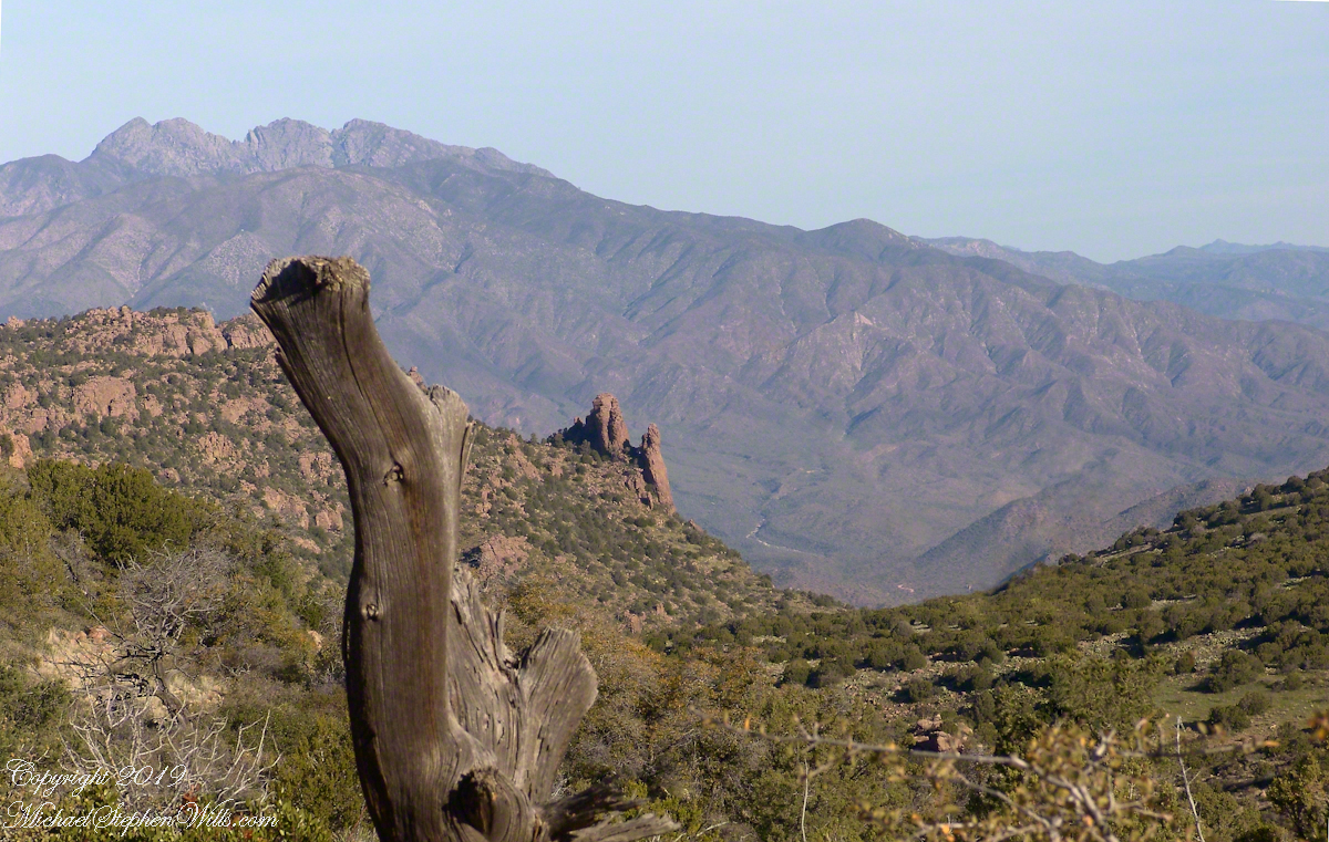
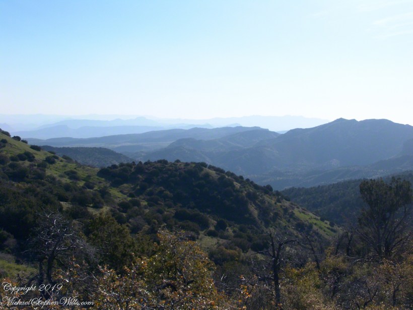
First, there was the climb to the edge of Pine Creek canyon where we, for the last time, enjoyed the view to the north of the Arizona Trail and, in the distance, the Four Peaks Wilderness.
North from Reavis Gap
At Reavis Gap we took a rest before the 1500 descent to Campaign Creek on a trail rated as so difficult backpackers go miles out of the way to access Reavis Ranch.
I split an energy bar and took a swig of water before setting up the tripod to capture the following view of our path. The ridge, hazy in the distance of 22 miles, is Apache Peaks, the near descending ridges an improbable green after a wet winter. In the previous photograph, “North from Reavis Gap” you can clearly see the transition from the desert to a grassland biome as the elevation increases.
Generations
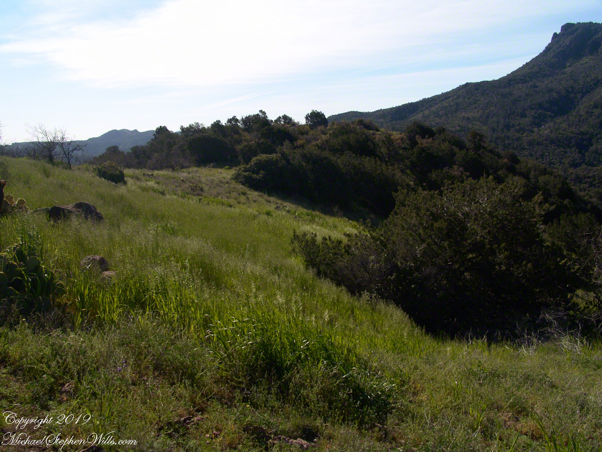
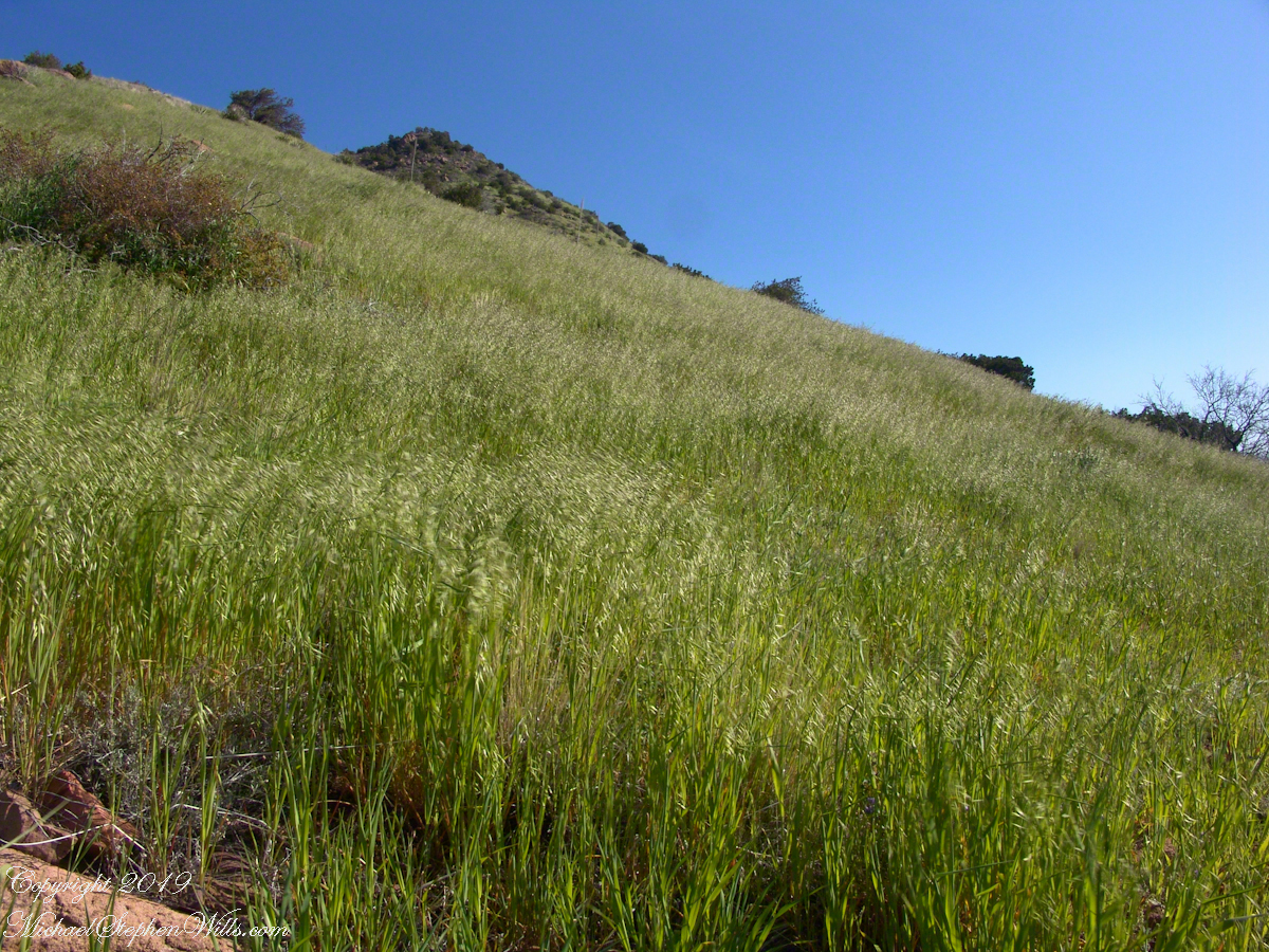
On this, the southern shoulder of Two Bar Mountain, we enjoyed desert grasslands almost the entire length, starting with this unlikely oat field. The higher, eastern Superstitions are the western and northern-most Sky Island of Southern Arizona: rising from the desert as isolated mountain systems, catchments for passing storms, with life zones progressing with altitude, the highest typical of Canada. As with oceanic islands, each is a haven for life with potential for evolution of unique species from the isolating effect of the surrounding desert.
These oats are domesticated grain spilled from a horse or donkey pack to thrive in the decades since, sprouting into this spread of light green after a wet winter, ripening, then turning gold with the summer, the grains falling to wait for the next opportunity. This green hue is my first impression of Reavis Gap, see my post “Two Meetings” for a video of the morning breezes rippling along the hillside.
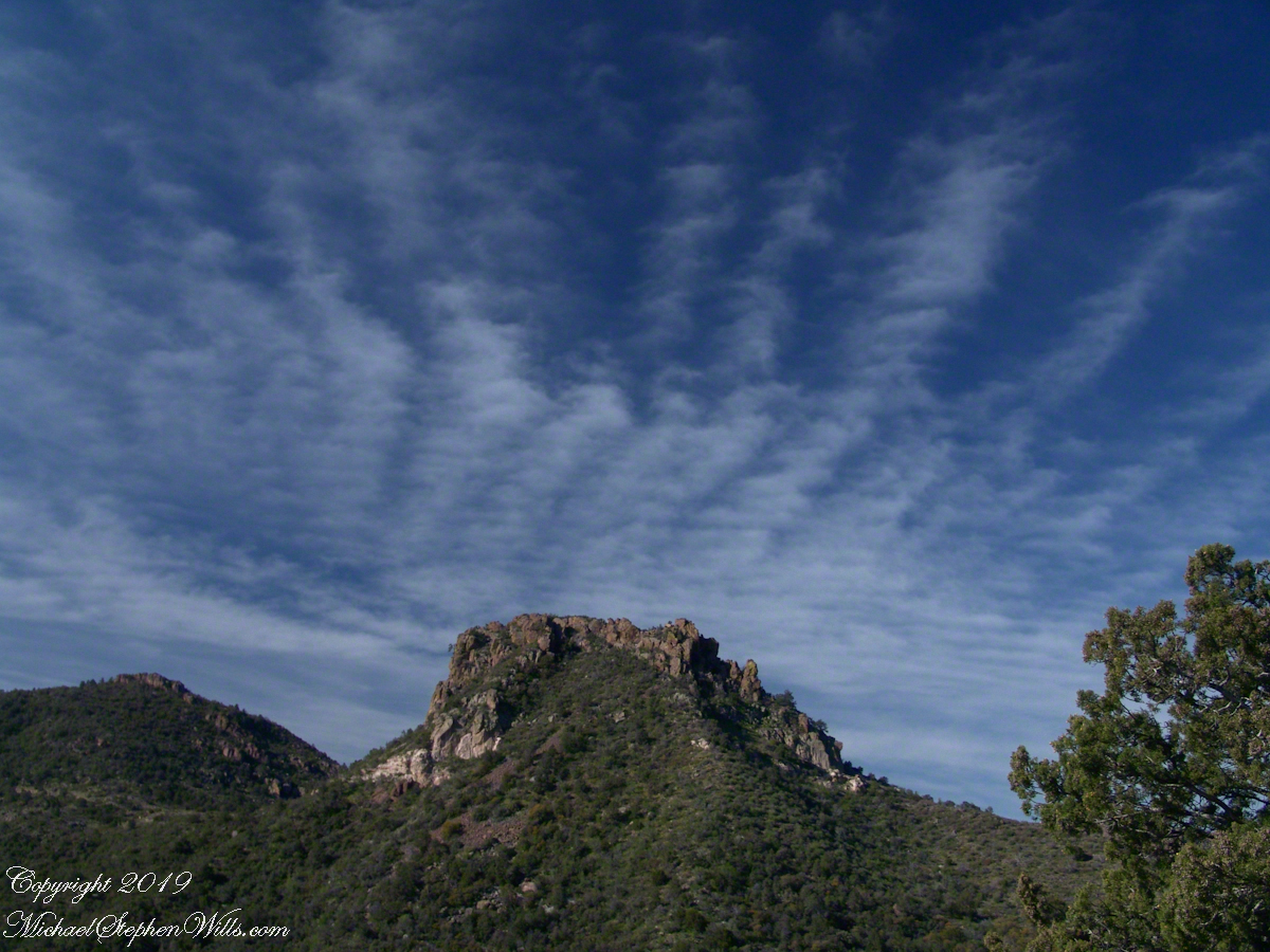
The camera sweeps 180 degrees for all the views from this spot, including prickly pear cactus among the grasses, a butte-like formation to the west, as in the following photograph.
Upper Horrell, the end of the beginning.
We passed the length of the Reavis Mountain School of Self Reliance, the Reavis Gap trail is 100 feet or so higher on the north side. The name “Upper Horrell” is attached to this location. Reavis Gap trail used to start at a ranch house, part of the “Upper Horrell Ranch.” Horrell is the family name of the former owners.
Upper Horrell is a fortunate location for the school, with the perennial Campaign Creek flowing parallel to their 13 acres on which is a large garden, many fruit trees, livestock and poultry. The school provides lodging and classes throughout the year.
The Searcher initiated his time in the Superstitions with wilderness survival classes and they allowed him to park is horse trailer and pickup outside the gates. We were loaded and out of there with a stop at Roosevelt, population 28, where we were the only customers for mesquite grilled hamburgers and french fries. We talked about the potential for future trips and I took him up on an offer to store my stuff until then. In the following years I did more Superstition Wilderness day trips, backpack expeditions, some with my sister Diane, and one horse expedition with The Searcher and a friend.
Here is a gallery of this post’s photographs, for you to flip through.
The Arizona Trail passes this spot in the remote eastern Superstition Wilderness. This is the view of my path up from Nameless Canyon. In the distance is the Four Peaks Wilderness Area.
The view down the canyon followed by the steep Reavis Gap trail from Campaign Creek.
The viaw back toward the Superstition Wilderness from the Reavis Gap trail on the approach to Reavis Gap.
Enjoying travel on a horse trap, a type of carriage, on Inishmore (Inis Mór), the largest Aran Island in Galway Bay we headed up Cottage Road from Kilronan, the main island settlement. It was there we embarked from the ferry, hired the driver, his horse drawn trap. Our destination an iron age fort, Dun Aengus (Dún Aonghasa, the Irish language name) and the sights along the way.
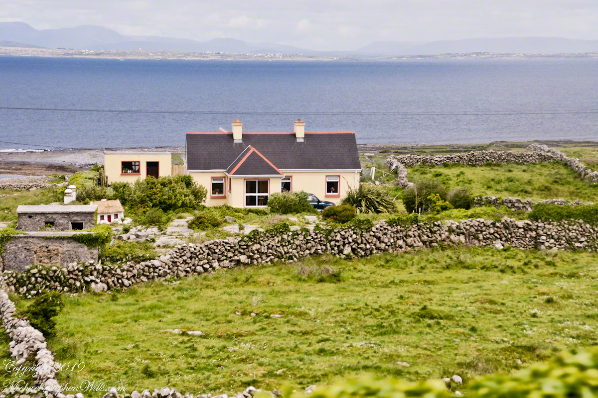
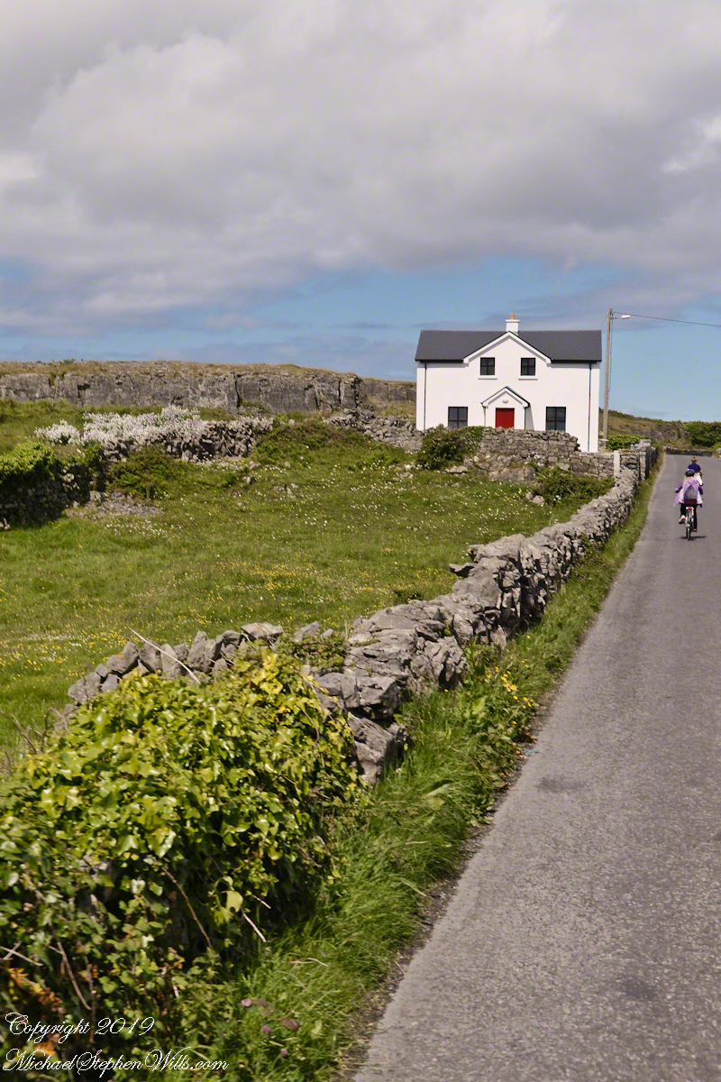
Headed up Cottage Road, I captured this view of dry stone walls and homes against the May sky over the shoulder of our horse.
Another aspect of the gradual 1/2 mile inclined path to the central ring of the prehistoric Dun Aonghasa ruins of County Galway, Ireland.
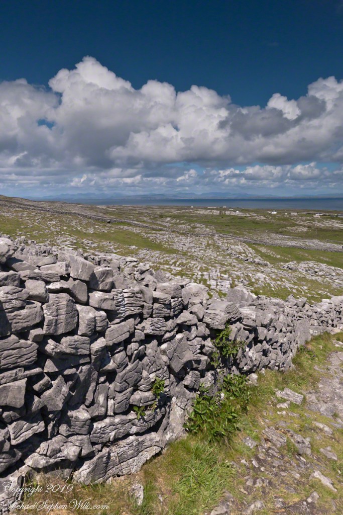
The view north, northwest from this way to Dun Aonghasa (Dun Aengus). In early June, looking across wildflowers, karst landscape, walled fields, farms, the North Atlantic Ocean, coast of Connemara and the 12 Bens (12 Pins) mountains.
Note the doorway (with long lintel) in the surrounding wall, to left of center in middle distance.