Rose of Castlemaine
Beauty and History on the Maine River
Beauty and History on the Maine River
Step into the ancient world of Neolithic monuments and discover the astounding astronomical knowledge of our ancestors. Explore the Newgrange Lightbox in Ireland and similar marvels across Europe, revealing a deep connection between ancient peoples and the cosmos. Join me in unveiling these architectural wonders.
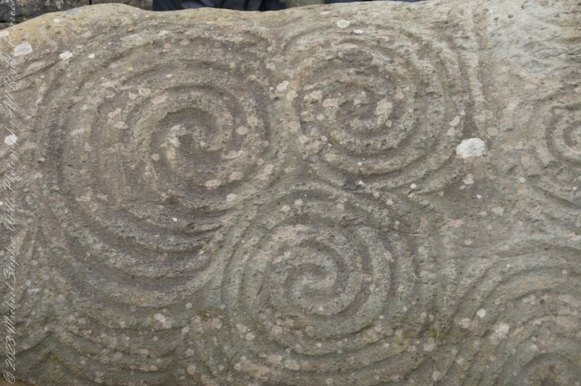
Discover the mysteries of the Newgrange monument’s Entrance Stone, a showcase of exquisite Neolithic rock art. Explore spirals, lozenges, and geometric designs that define European megalithic art and delve into their potential meanings and cultural significance. Join me in uncovering the secrets of this ancient Irish wonder.

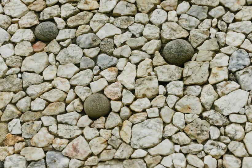
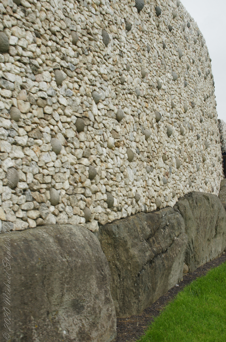
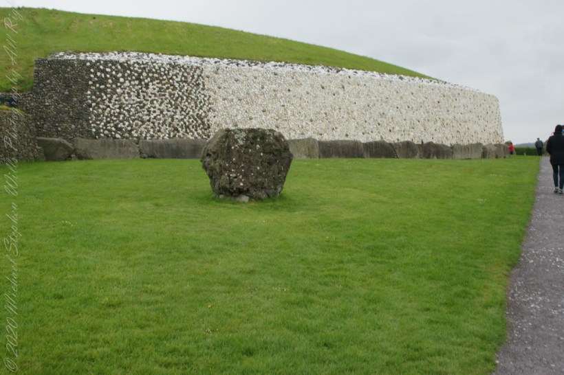
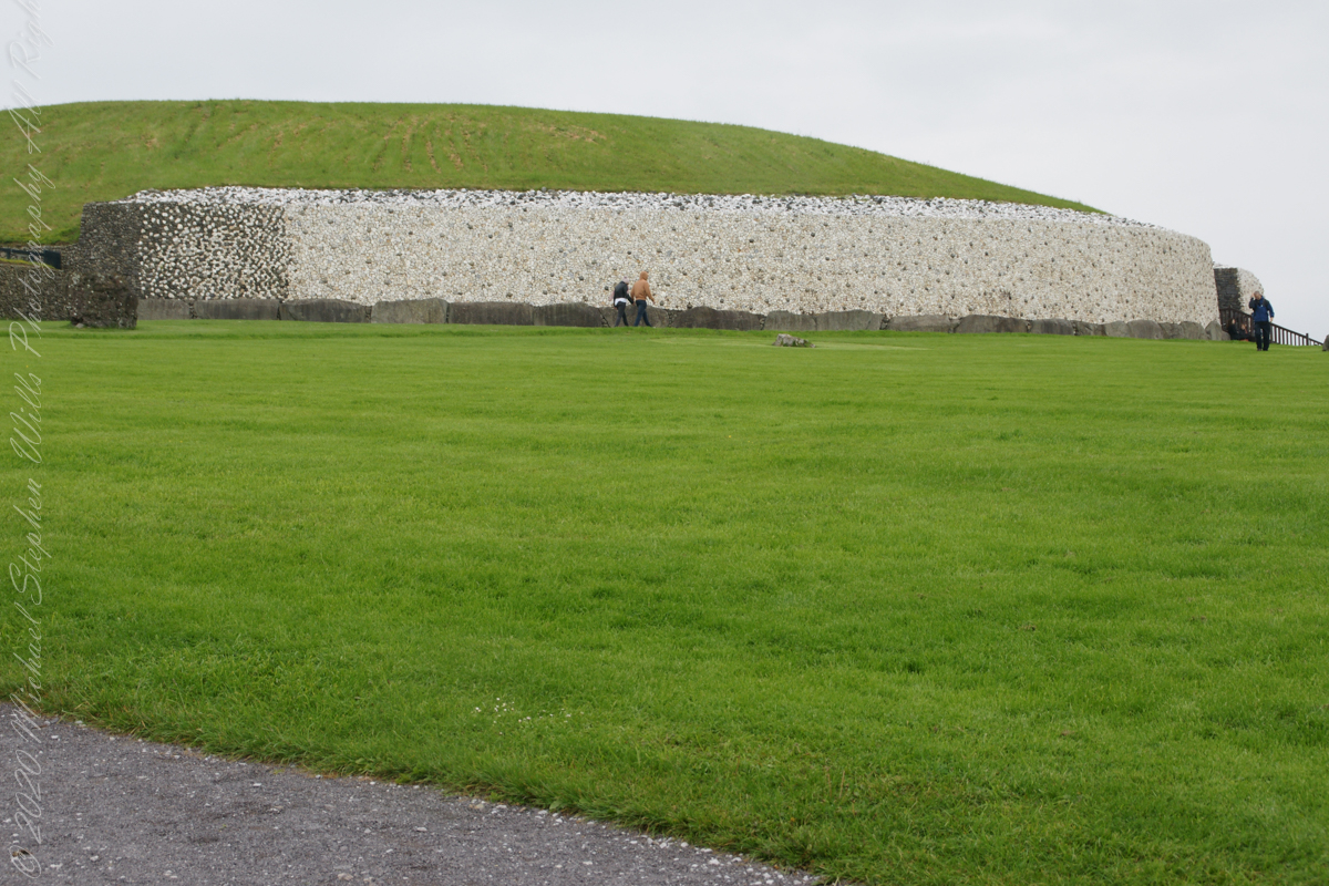
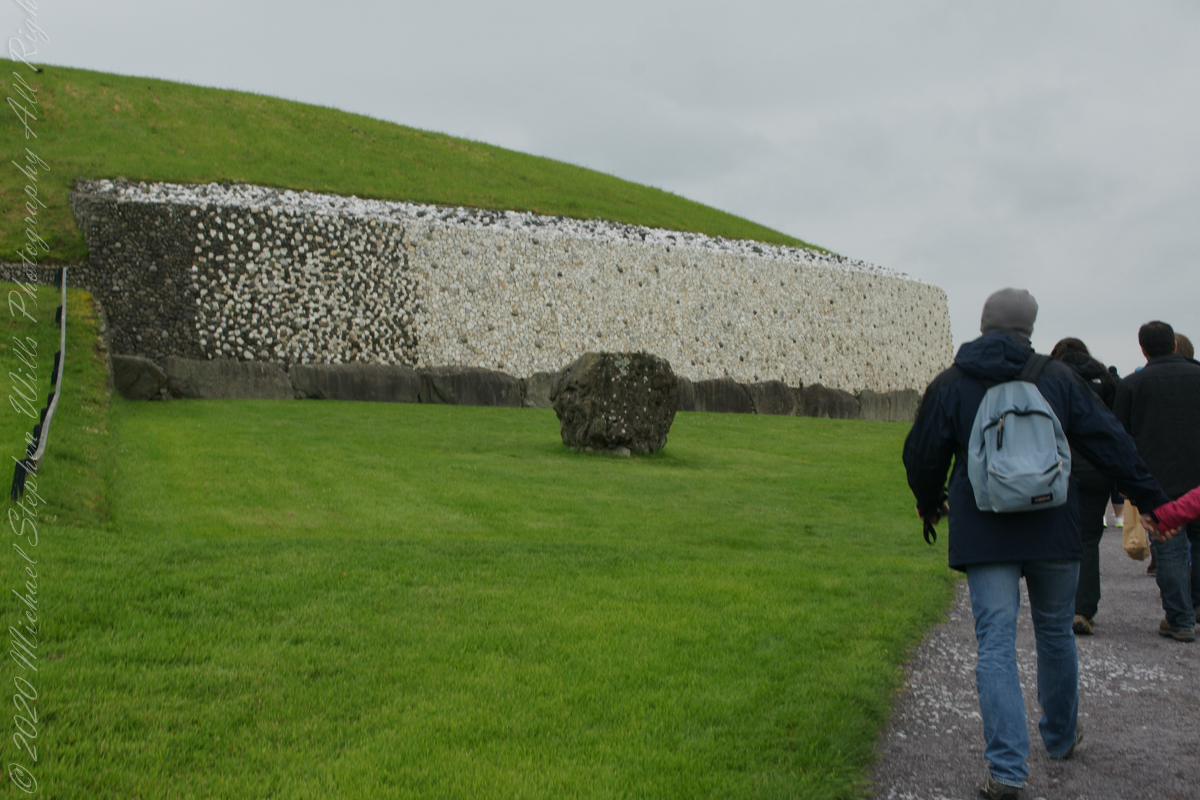
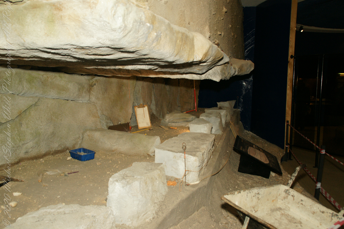
The Newgrange facade and kerbstones consists of stones from various locations, believed to be transported by sea and river.
The Newgrange façade and entrance of today is a creation from the large quantity of small stones unearthed and conserved during excavation given form by a steel-reinforced concrete retention wall.

The brilliant white quartz cobblestones were collected from the Wicklow Mountains, 31 miles to the south. Our guide called them “sunstones” for the way they reflect sunlight. In the following photograph is white quartz, the same excavated 1967-1975 from the Newgrange site and incorporated into the facade, I collected from “Miners Way” along R756 (above Glendalough).

You can also see in these photographs dark rounded granodiorite cobbles from the Mourne Mountains, 31 miles to the north. Dark gabbro cobbles from the Cooley Mountains and banded siltstone from the shore at Carlingford Lough both locations on the Cooley Peninsula where my mother’s family still has farms.
The stones may have been transported to Newgrange by sea and up the River Boyne by fastening them to the underside of boats at low tide. None of the structural slabs were quarried, for they show signs of having been weathered naturally, so they must have been collected and then transported, largely uphill, to the Newgrange site. The granite basins found inside the chambers also came from the Mournes.


Geological analysis indicates that the thousands of pebbles that make up the cairn, which together would have weighed about 200,000 tons, came from the nearby river terraces of the Boyne. There is a large pond in this area that is believed to be the site quarried for the pebbles by the builders of Newgrange.
Most of the 547 slabs that make up the inner passage, chambers, and the outer kerbstones are greywacke. Some or all of them may have been brought from sites either 3 miles away or from the rocky beach at Clogherhead, County Louth, about 12 miles to the northeast.
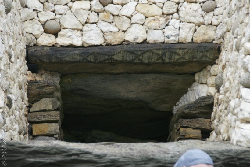
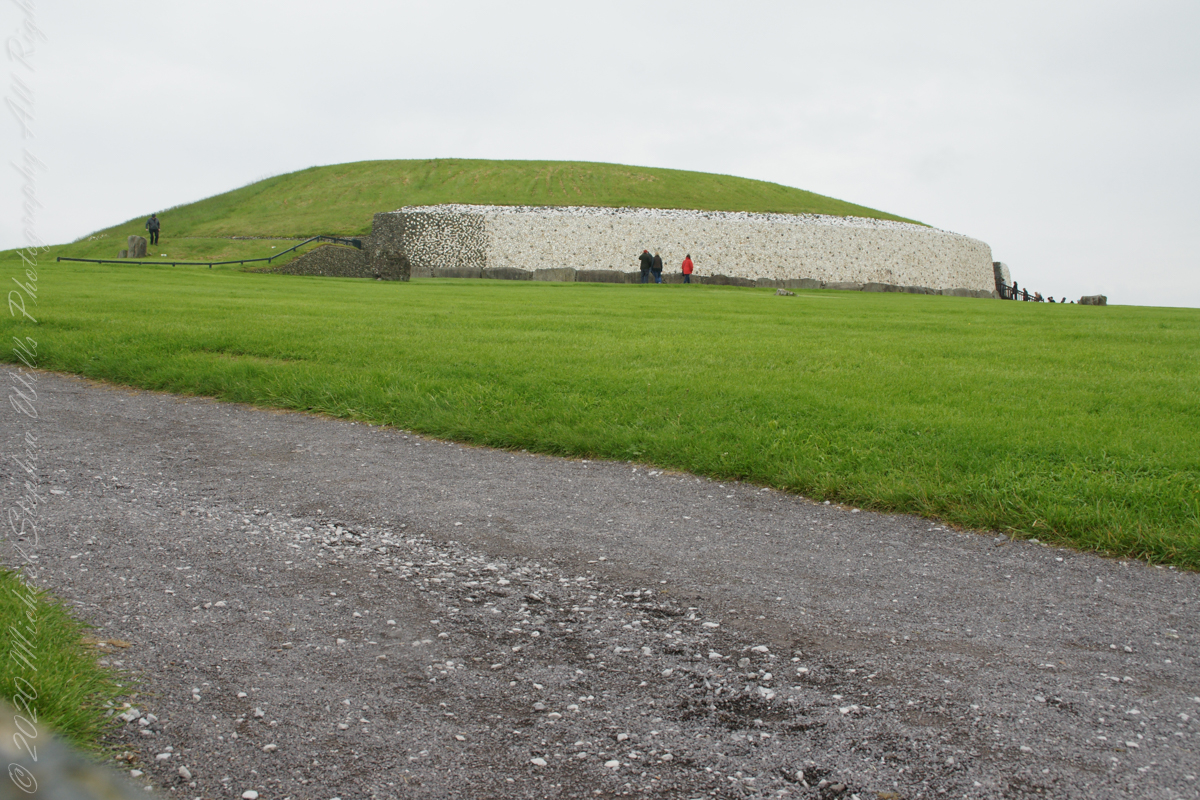
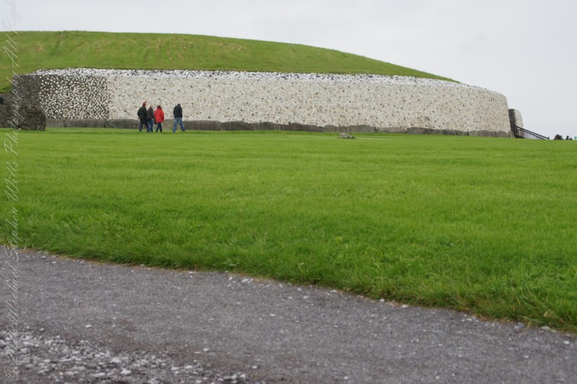
Approaching Newgrange for the first time
Michael Joseph “Brian” O’Kelly was selected to undertake the direction of the excavation of Newgrange during a 1961 meeting of “those who had a professional interest in the monument” organized by PJ Hartnett, the archaeological officer with Bord Fáilte Eireann (Irish Tourist Board) and a former pupil of Professor O’Kelly’s. Excavation commenced in 1962 and continued every summer for a four-month season up to and including 1975.
The aim of the excavation was to discover as much as possible about the archaeological and historical context of Newgrange and the people who built it and to discover what its original finished appearance was so as to direct a reconstruction, conservation and restoration of the structure to its former condition and appearance.
The last year of excavation was 1975, Michael J. wrote “We determined in 1975 that that should be our last season of excavation at Newgrange. We had investigated approximately one third of the structure and we had discovered much about it that was new, both in its structure and in its ornament, while radiocarbon had pushed its date back by 1,000 years……”
“…We felt that the other two thirds should be left for a future excavator, who, working with new knowledge and perhaps with better methods and new scientific approaches, should have large areas untouched by us in which to test, check and re-evaluate our findings.” From The Restoration of Newgrange by Michael J.O’Kelly. Antiquity LIII, 1979.

“Between the bright sky and the long glittering silver ribbon of the Boyne the land looks black and featureless. Great flocks of starlings are flying across the sky from their nighttime roosts to their daytime feeding places. The effect is very dramatic as the direct light of the sun brightens and casts a glow of light all over the chamber. I can even see parts of the roof and a reflected light shines right back into the back of the end chamber.” The recorded words of Prof O’Kelly spoken in the tomb of Newgrange on the 21st December 1969.
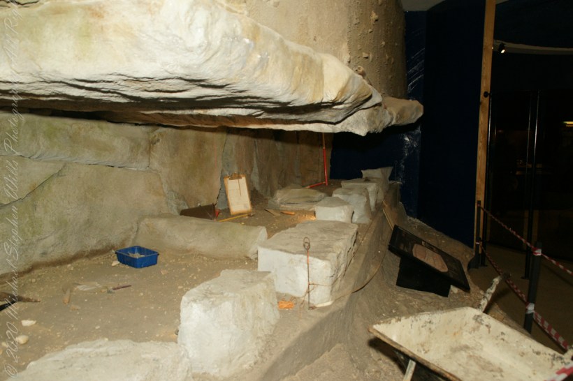
Newgrange and Knowth mounds were built and stabilized by structural experts.
At the same time as the passage and chamber were being built, work on the mound was going ahead.
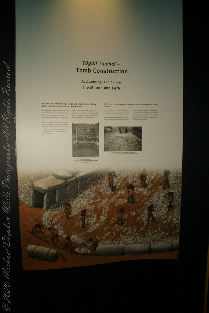
At Newgrange, and the main mound at Knowth, an area around the tomb was left clear for a platform of stones to encase and stabilize the chamber roofs.
Once the passage roof was complete, structural experts returned to the kerb and continued to set the slabs in place — either in sockets or on prop stones, so as to achieve an even top-line all-round the mound.

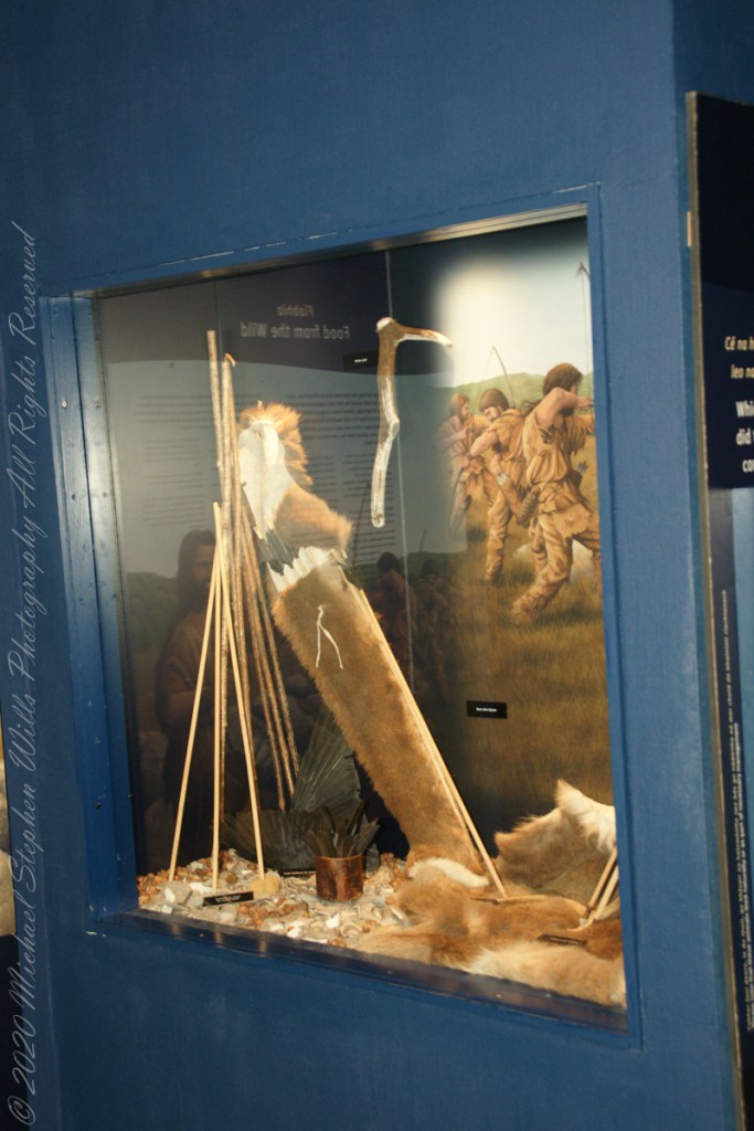
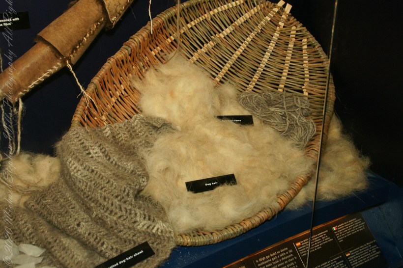
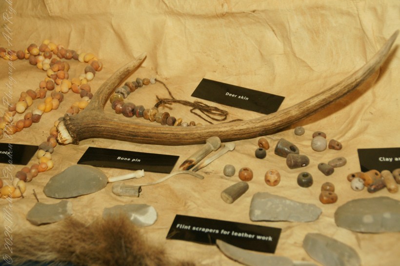
How the builders of Brú na Bóinne clothed themselves
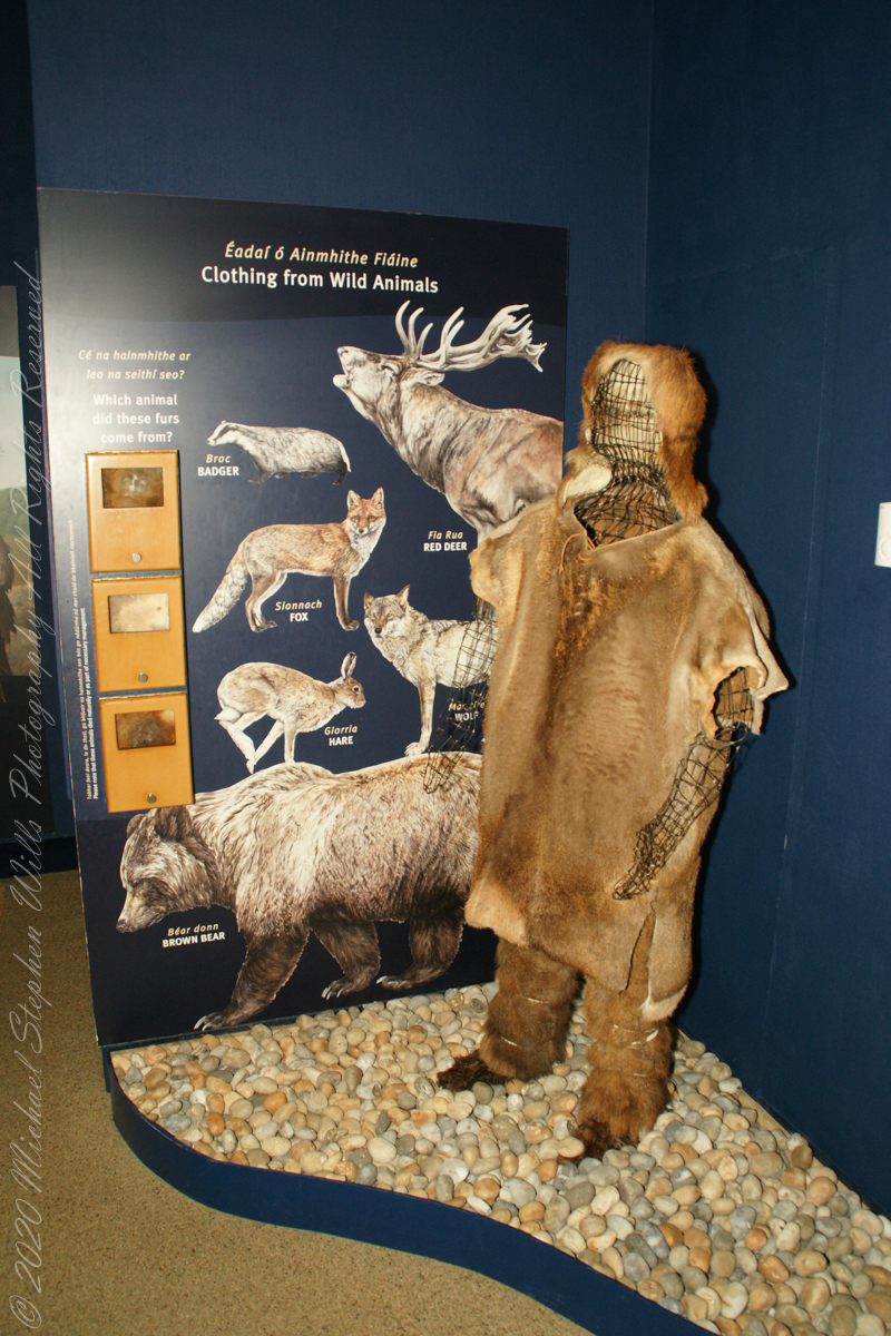
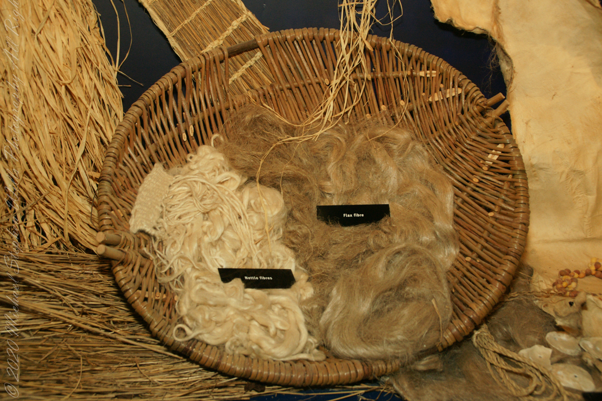
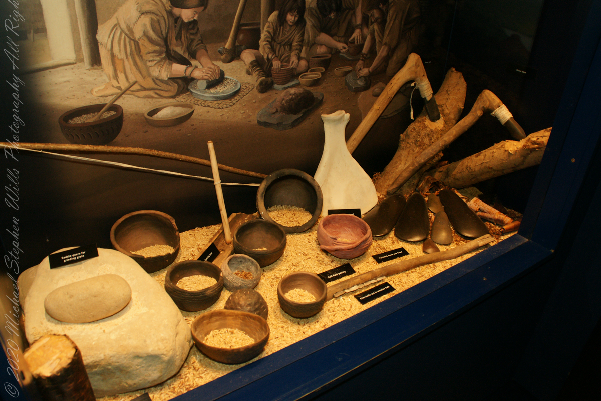
Early Irish farmers introduced crops and domesticated animals, aided by milder climate.
The people who built the passage tombs at Brú na Bóinne and elsewhere in Ireland were farmers, a way of life which by this time had become well established in Ireland. All the mainstays of early farming life — cereals such as wheat and barley, and domesticated animals such as cattle, pigs, sheep and goats — were introduced to Ireland by early farmers. T

he climate was warmer and drier than it is today which meant that the growing season was longer and winter was shorter and milder. The main crops grown appear to have been emmer wheat and naked barley. Flint knives and blades were used for cutting meat. Simple wooden ploughs with stone tips were probably used.

The cattle were Bos taurus longifrans, large animals with forward facing horns which were kept primarily for farm work and meat. Cattle may also have been important in a ceremonial sense; cattle bones were sometimes placed in a very deliberate way in the ground. Sheep were probably like Soay sheep today, without a woolly fleece and probably used mainly for their meat. Dog and pig bones have also been found.

Facing Views and History
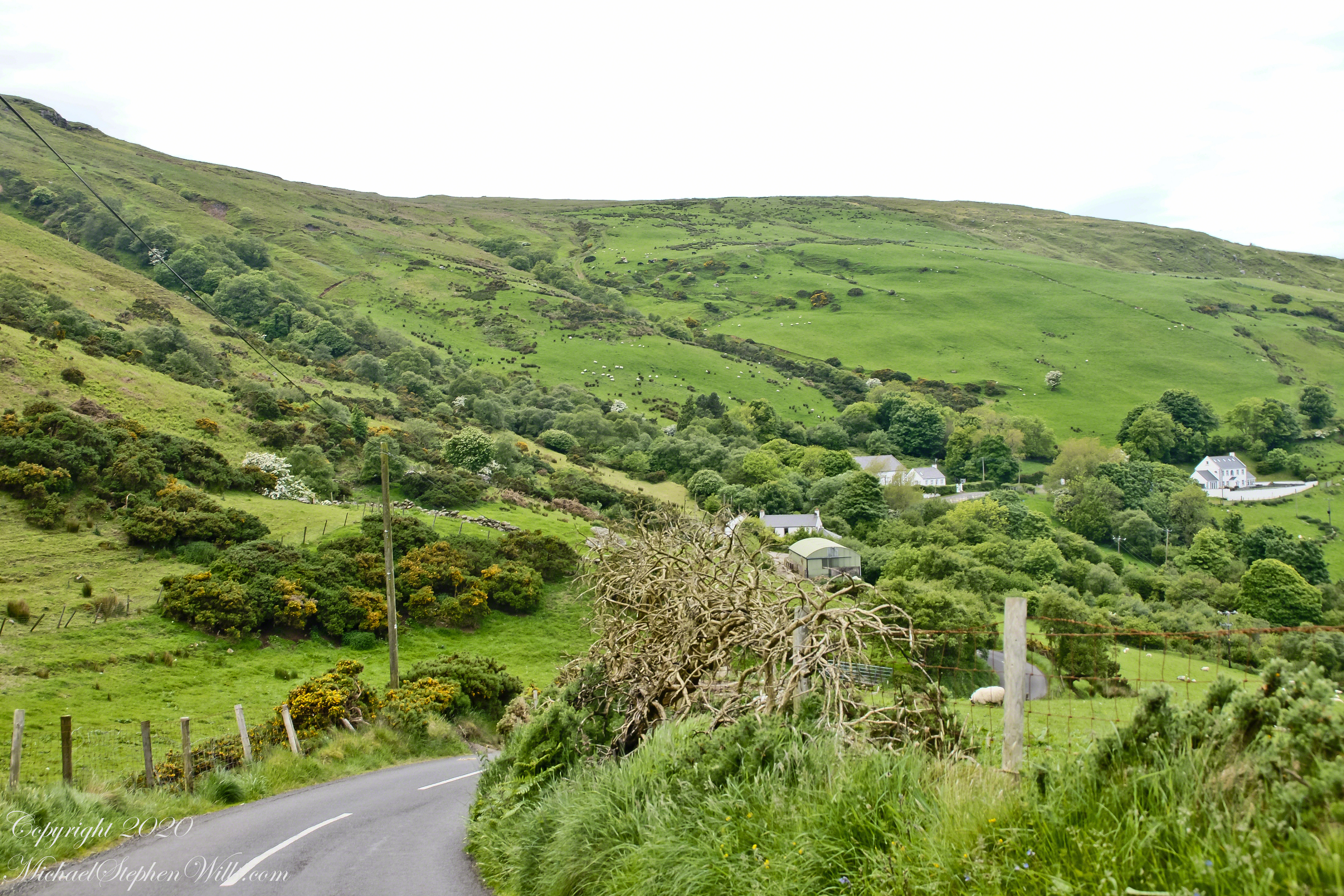
A grand view presents itself throughout the roll down Torcorr into Coolranny townland. Loughan is a shallow bay along the North Channel of the Irish Sea, a rocky sand beach is accessible via a slope shallower than the cliffs on either side. This access is a reason for the tiny rural community on the slope above, now a site of ruined cottages, abandoned during the emigration from Ireland, a flight continuing into the Twentieth Century.
Click photograph for a larger view. To do this from WordPress Reader, you need to first click the title of this post to open a new page.

See this post for a description of wildflowers flowering here in the month of June.
This photograph from the bottom of the Torr Road hill takes in Coolranny Townland. a slice of land running from the ridge to Loughan Bay. We see a number of hawthorne trees in flower, yellow flowering Whin Bush, houses and the Roman Catholic church Saint Mary’s Star of the Sea.
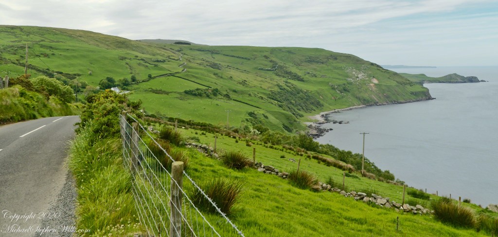
Tor in Irish is a steep rocky height. Likewise, Corr means odd, uneven, rounder, convex, curved, peaked, projecting, smooth. Combined Torcorr is the townland where we stopped on the Torr Road, halted by our wonder at this sight. In the distance, Torr Head projects into North Channel, the closest land to Scotland. Following the coast, the cliffs in front of Torr Head is home to numerous sea birds. The curved bay is named Loughan, the rocky sand beach are ruins of cottages emptied by Irish emigration. The white building is Saint Mary’s Star of the Sea Roman Catholic Church. County Antrim, Northern Ireland.
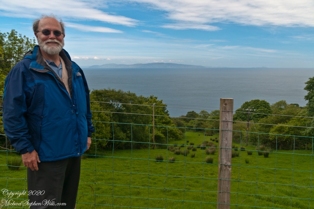
The photograph of the header, taken by Pam, is from either Coolranny or Loughan Townland, looking across a sheep pasture, the North Channel of the Irish Sea toward the Mull of Kintyre, Scotland just twelve miles distant.


Loughcrew history
In more recent centuries Loughcrew became the seat of a branch of the Norman-Irish Plunkett family, whose most famous member became the martyred St Oliver Plunkett. The family church stands in the grounds of Loughcrew Gardens. With its barren isolated location, Sliabh na Caillí became a critical meeting point throughout the Penal Laws for Roman Catholics. Even though the woods are now gone an excellent example of a Mass Rock can still be seen on the top of Sliabh na Caillí today. The Plunketts were involved in running the Irish Confederacy of the 1640s and were dispossessed in the Cromwellian Settlement of 1652. Their estate at Loughcrew was assigned by Sir William Petty to the Napier Family c.1655. The Napiers are descended from Sir Robert Napier who was Chief Baron of the Exchequer of Ireland in 1593.
