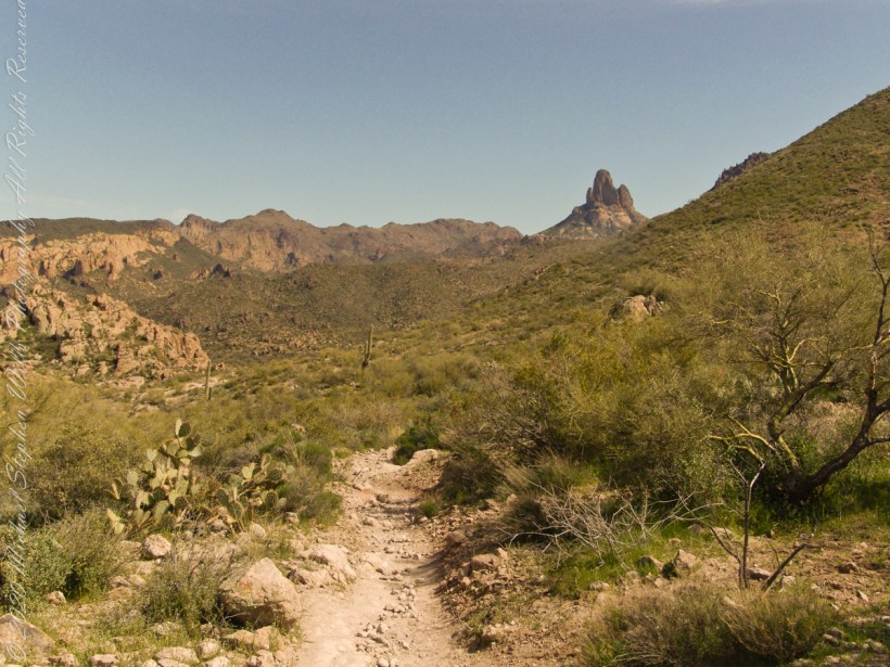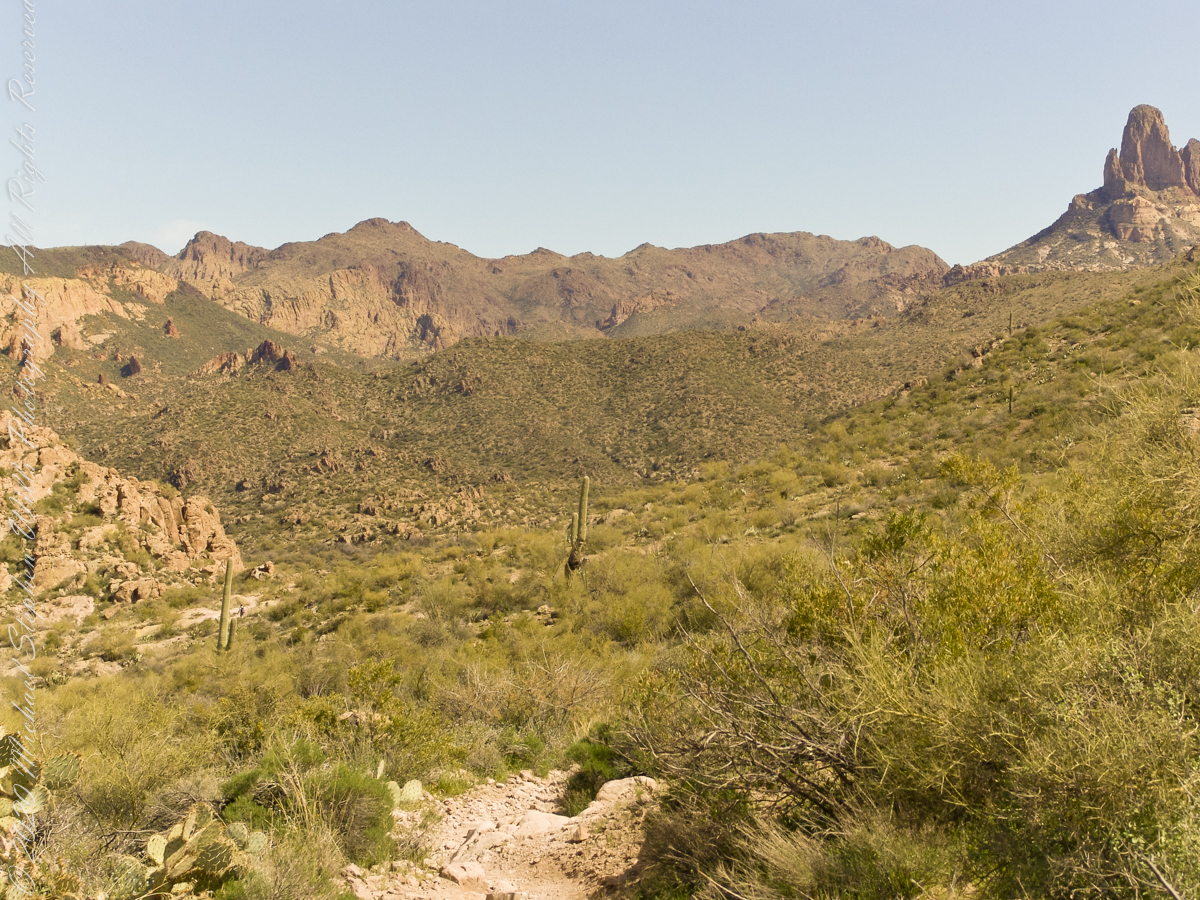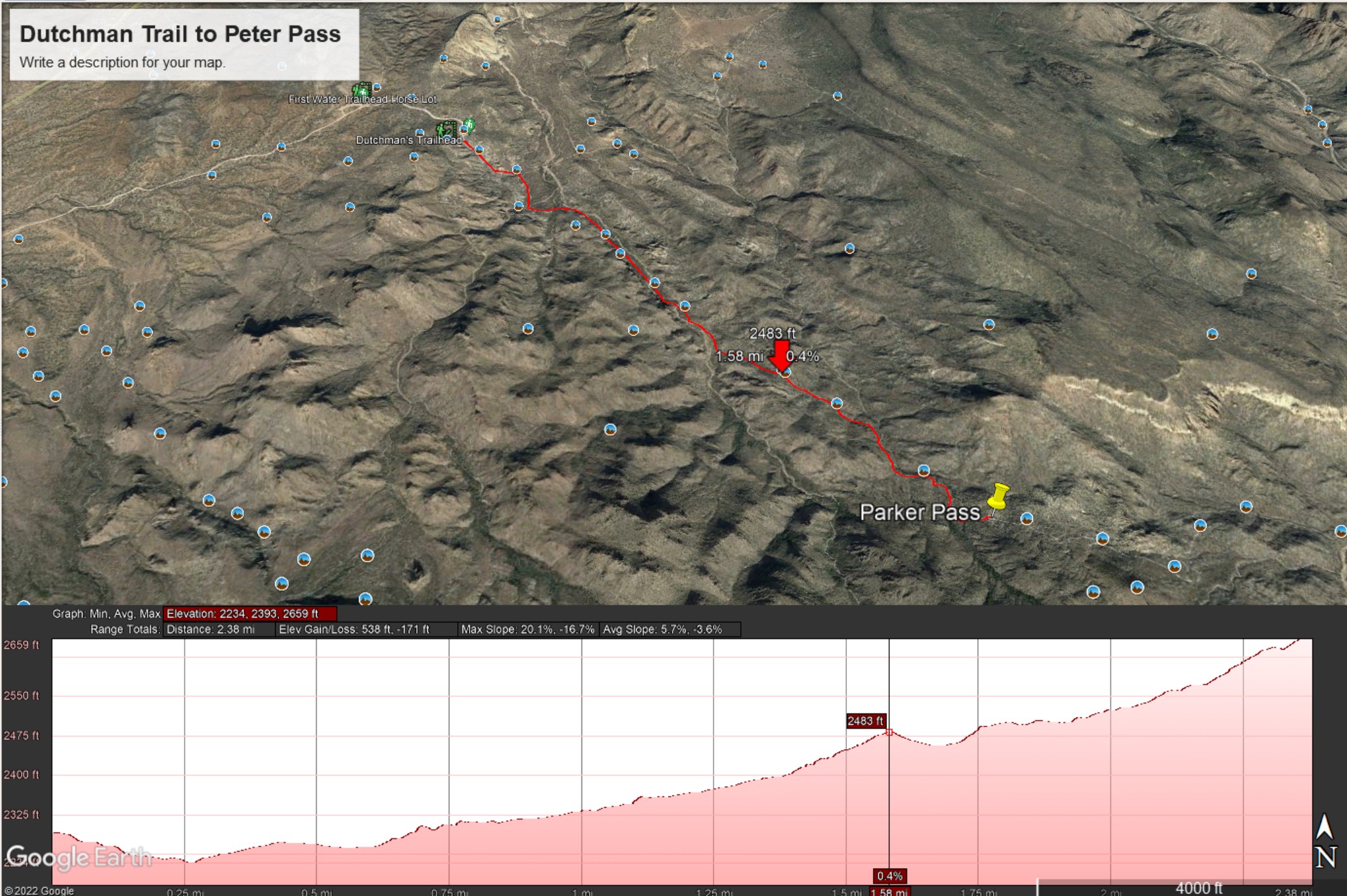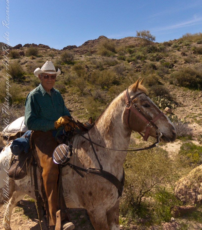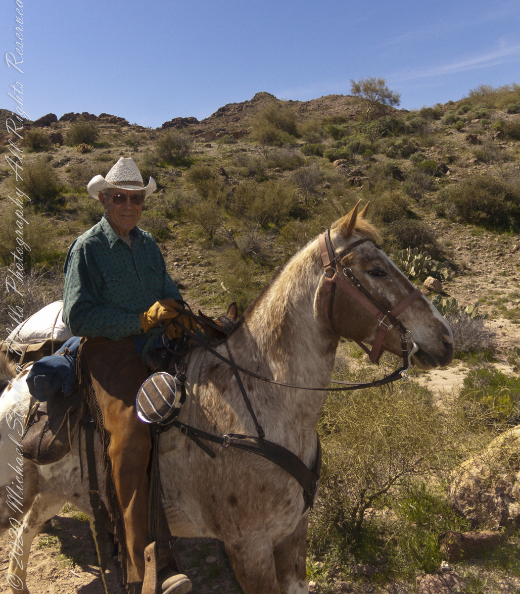
Twenty-three minutes later I caught up with Dave and Al taking a break at a large loop in the trail, a half mile below Parker Pass.
Click Me for my Online Gallery
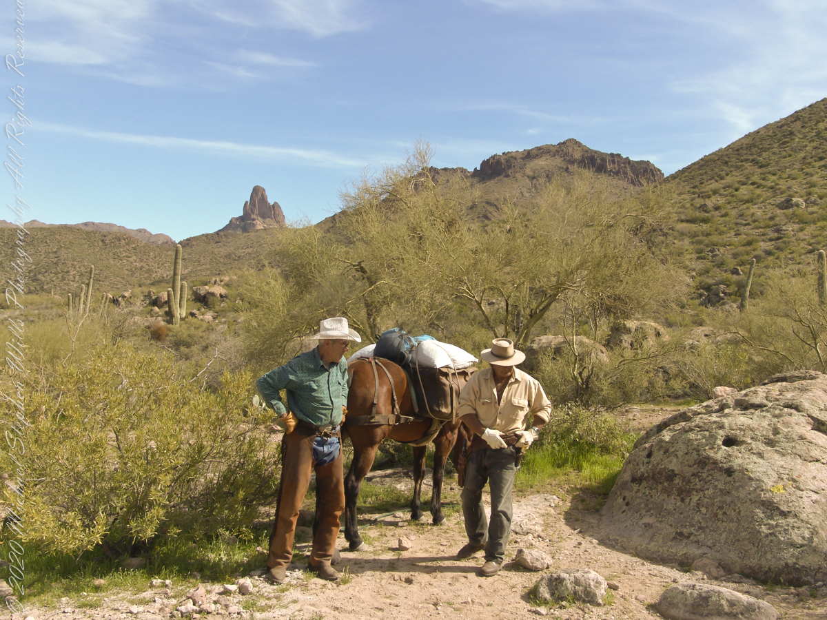
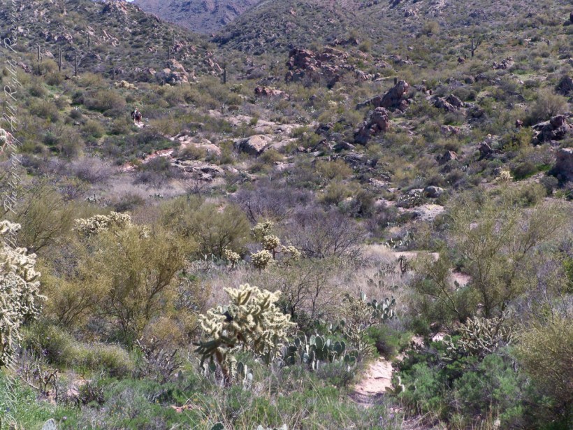
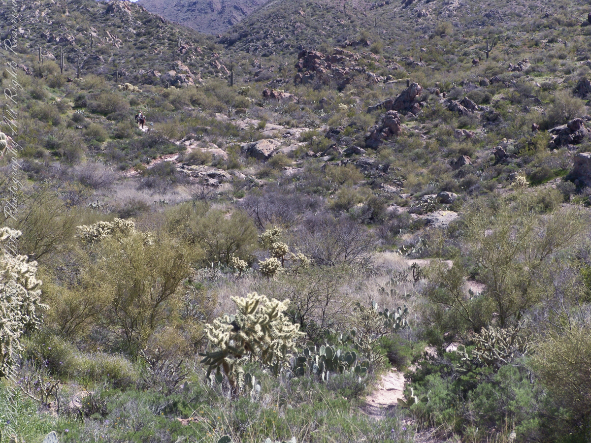
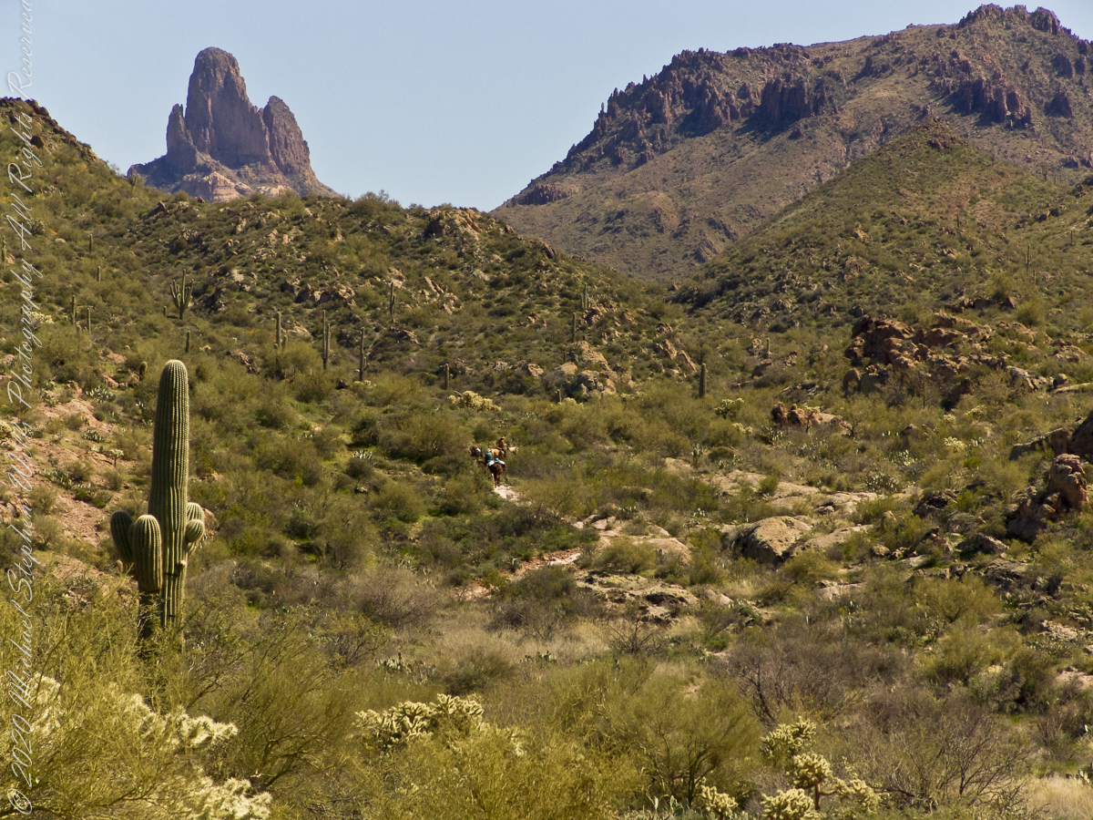
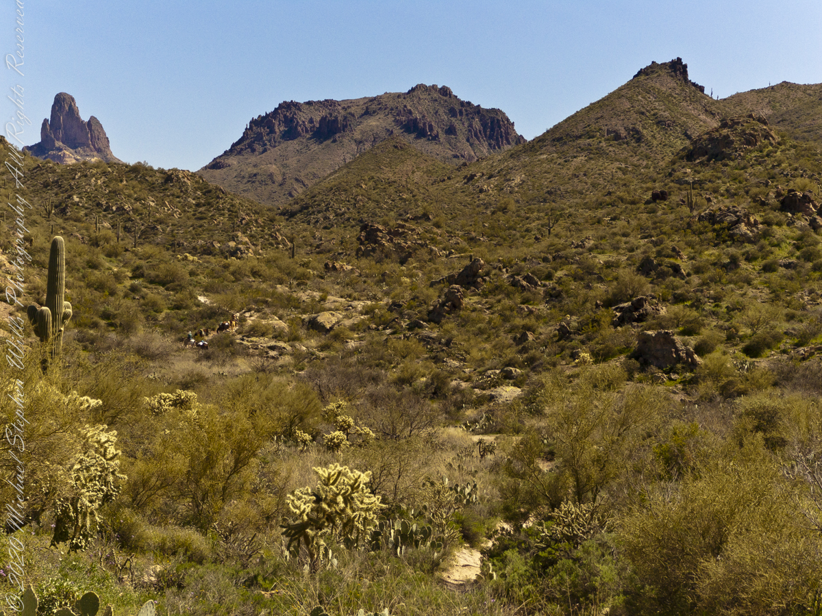
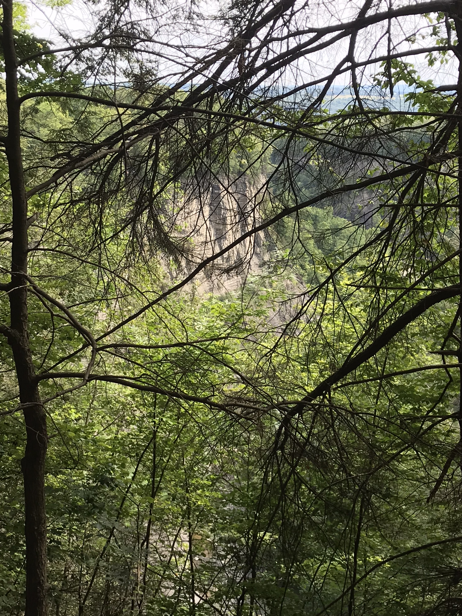
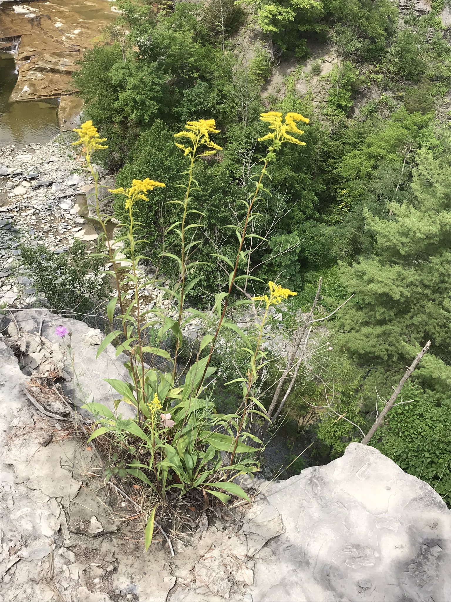
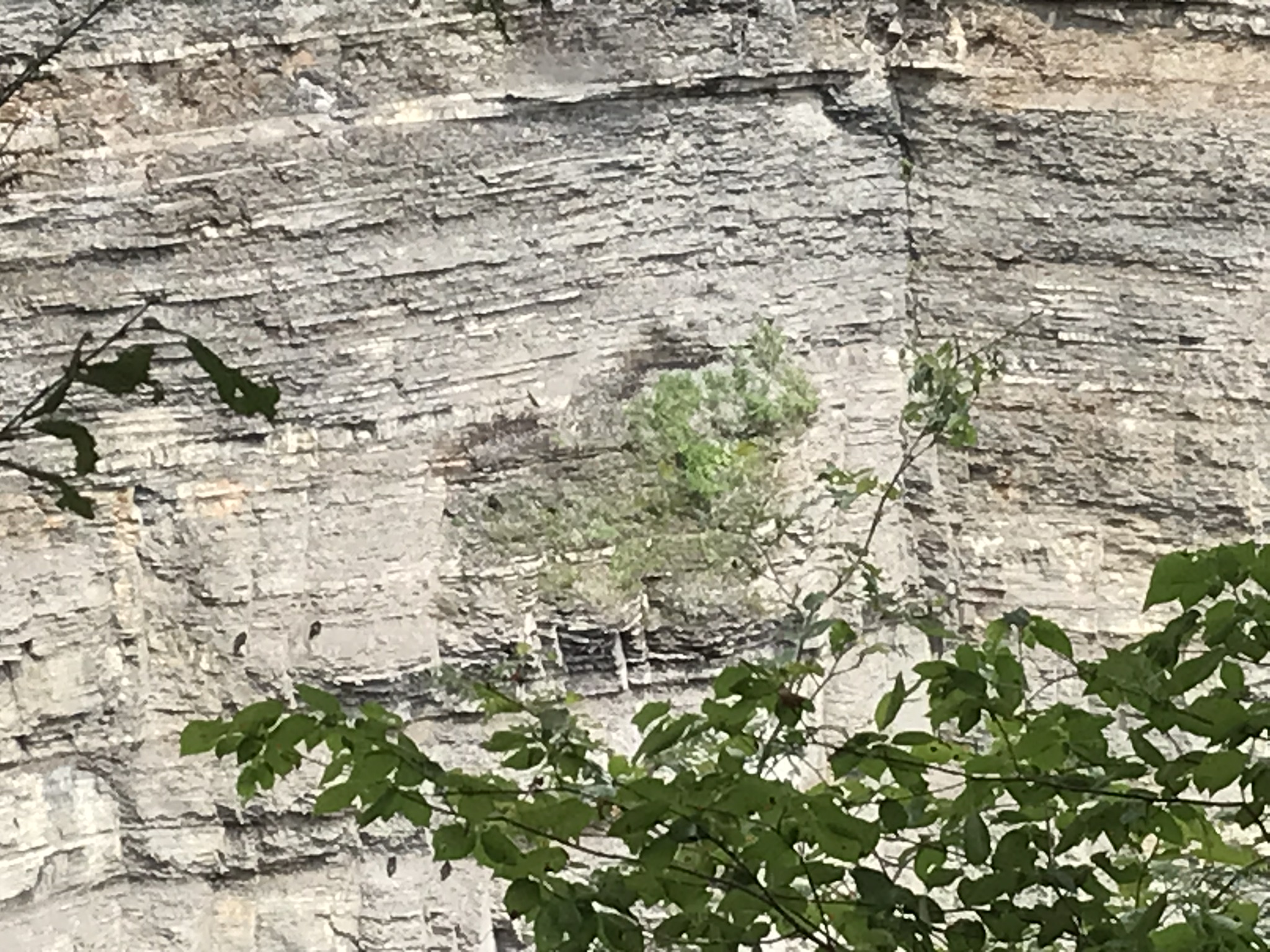
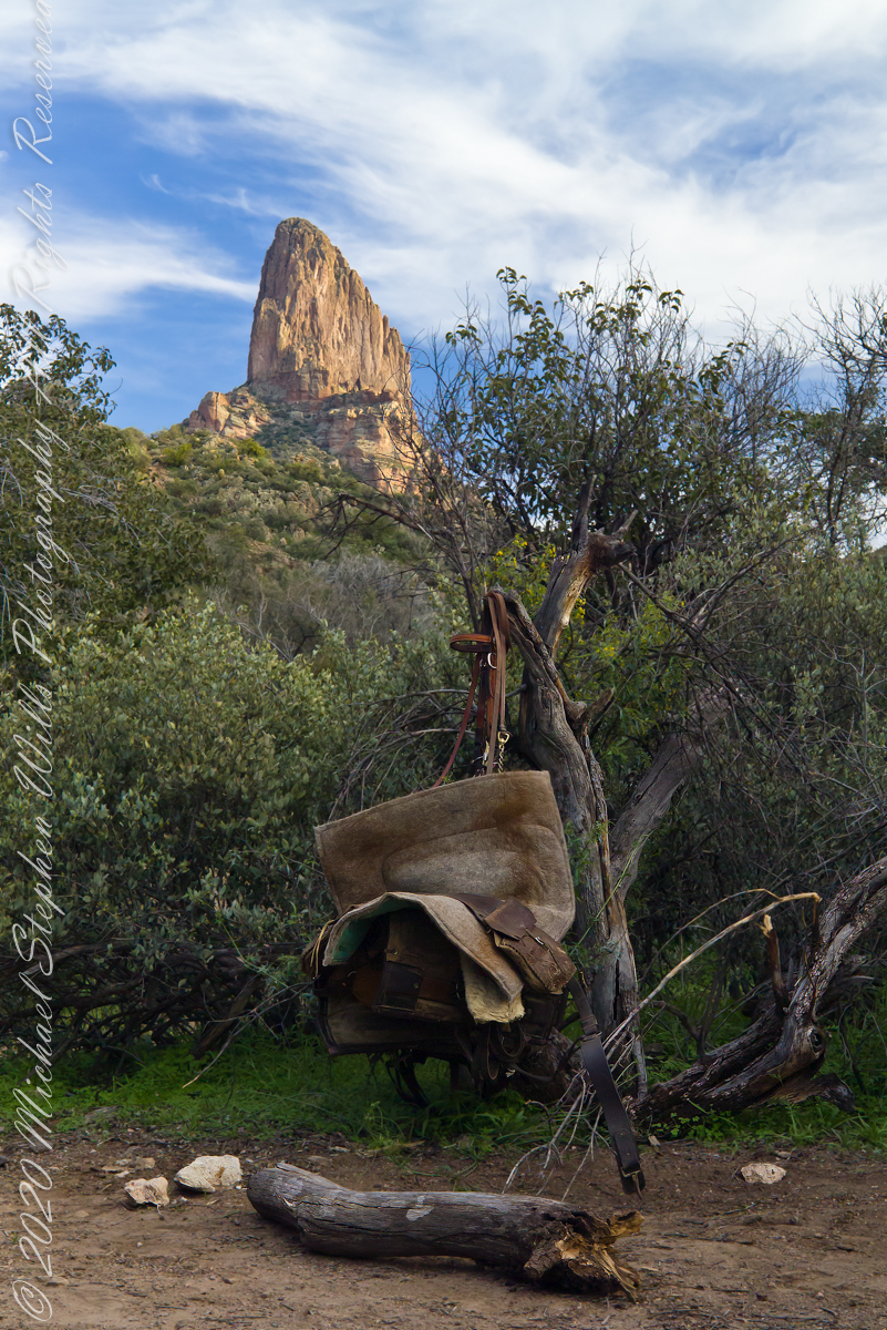
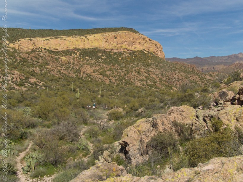
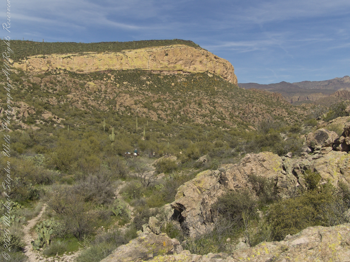
Fourteen years later, using GoogleEarth, I deduce the location to be 33°27’19.39″N , 111°24’38.58″W. After the horse party proceeded, I stayed behind to record them.
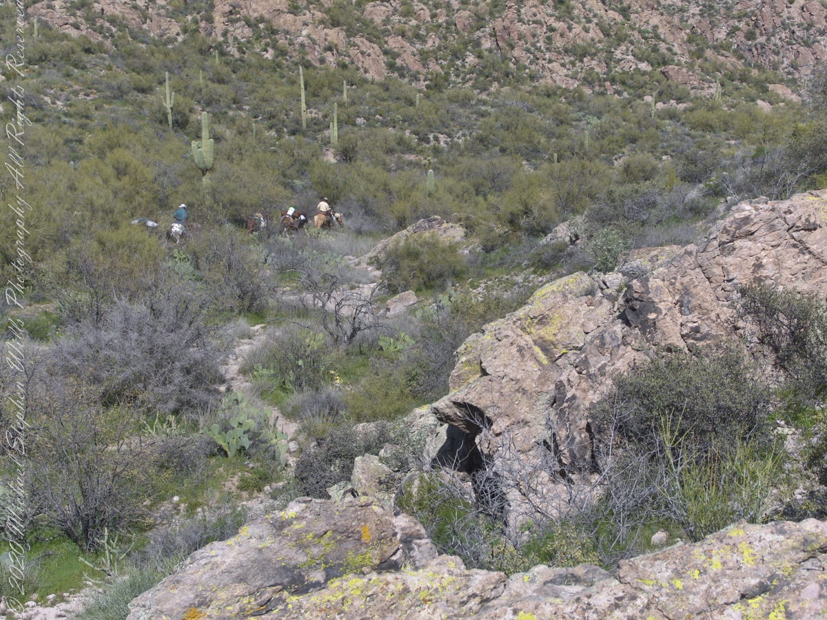
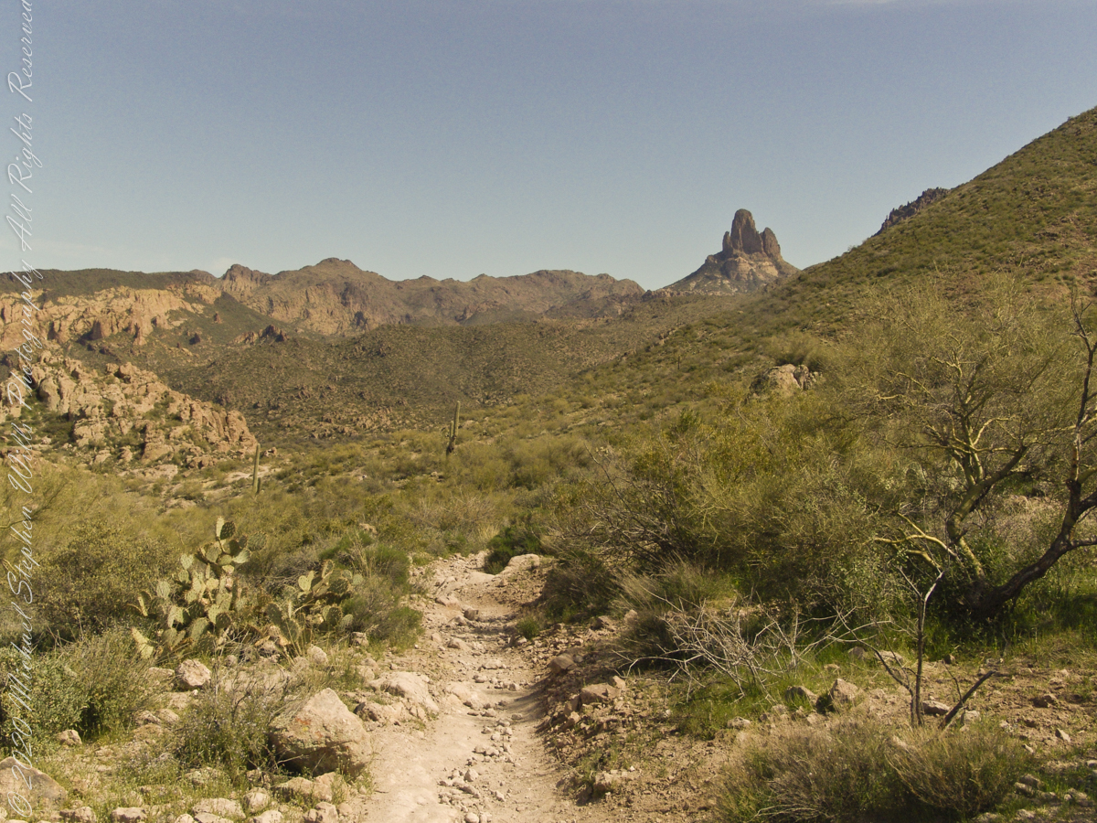
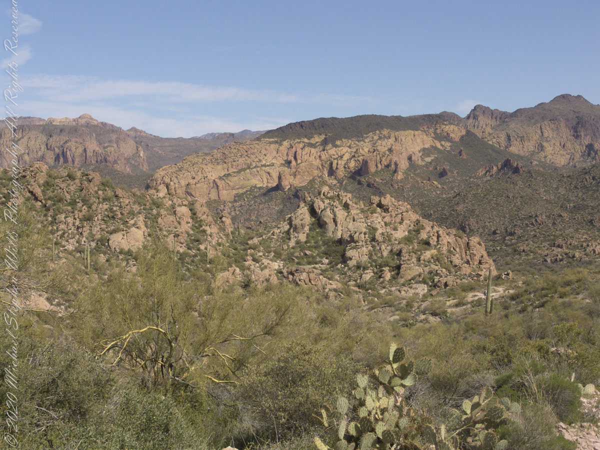
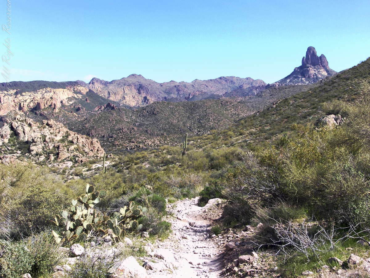
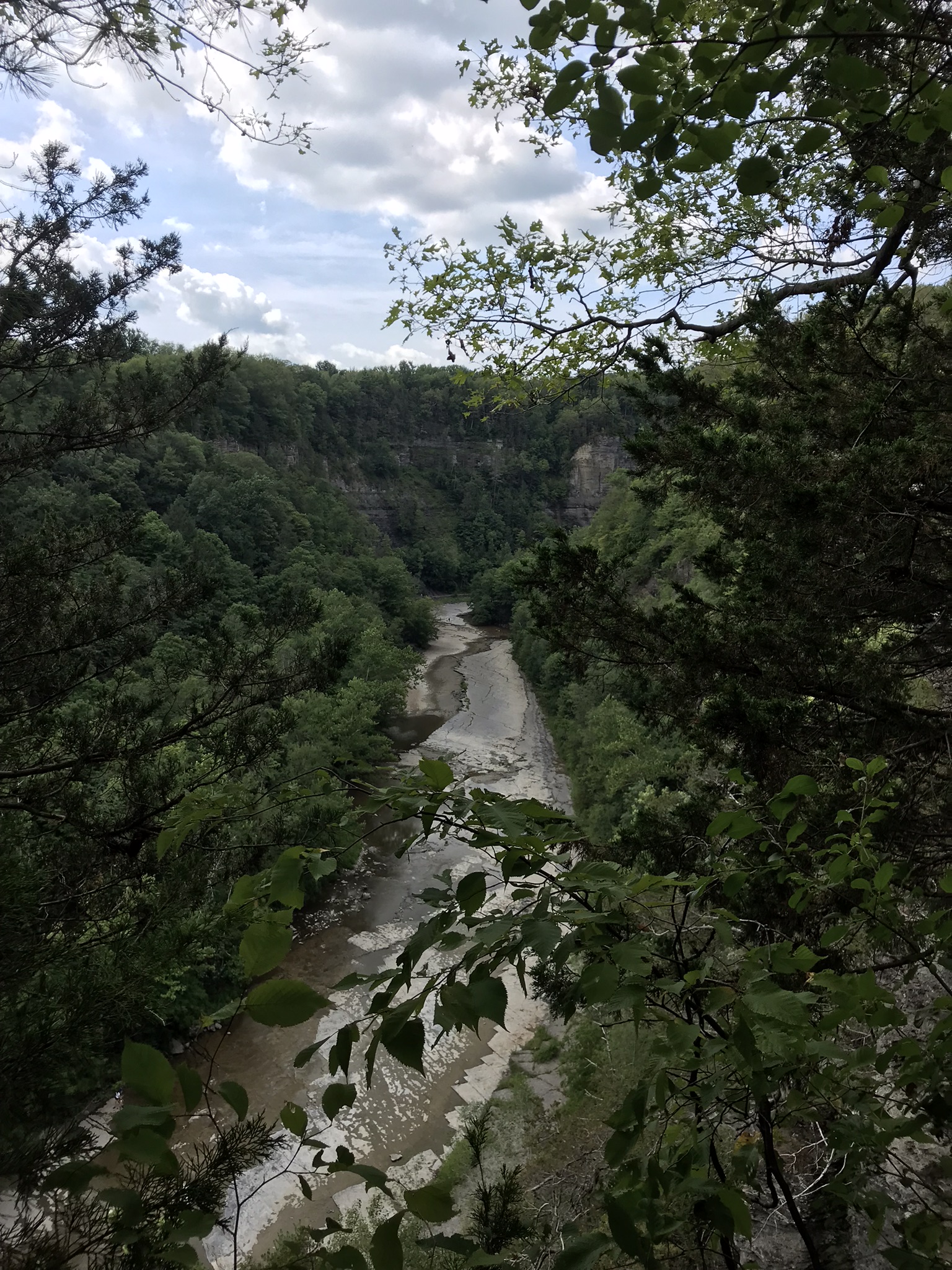
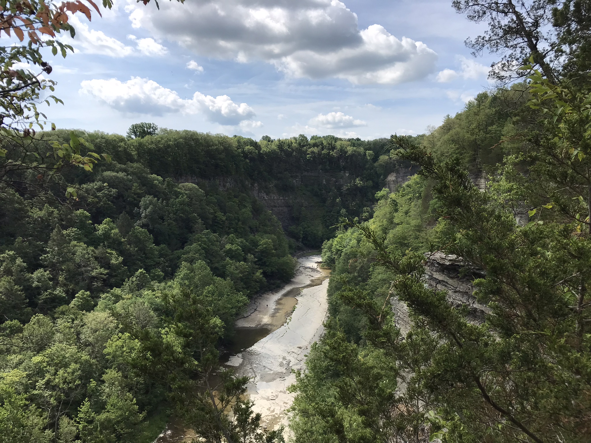
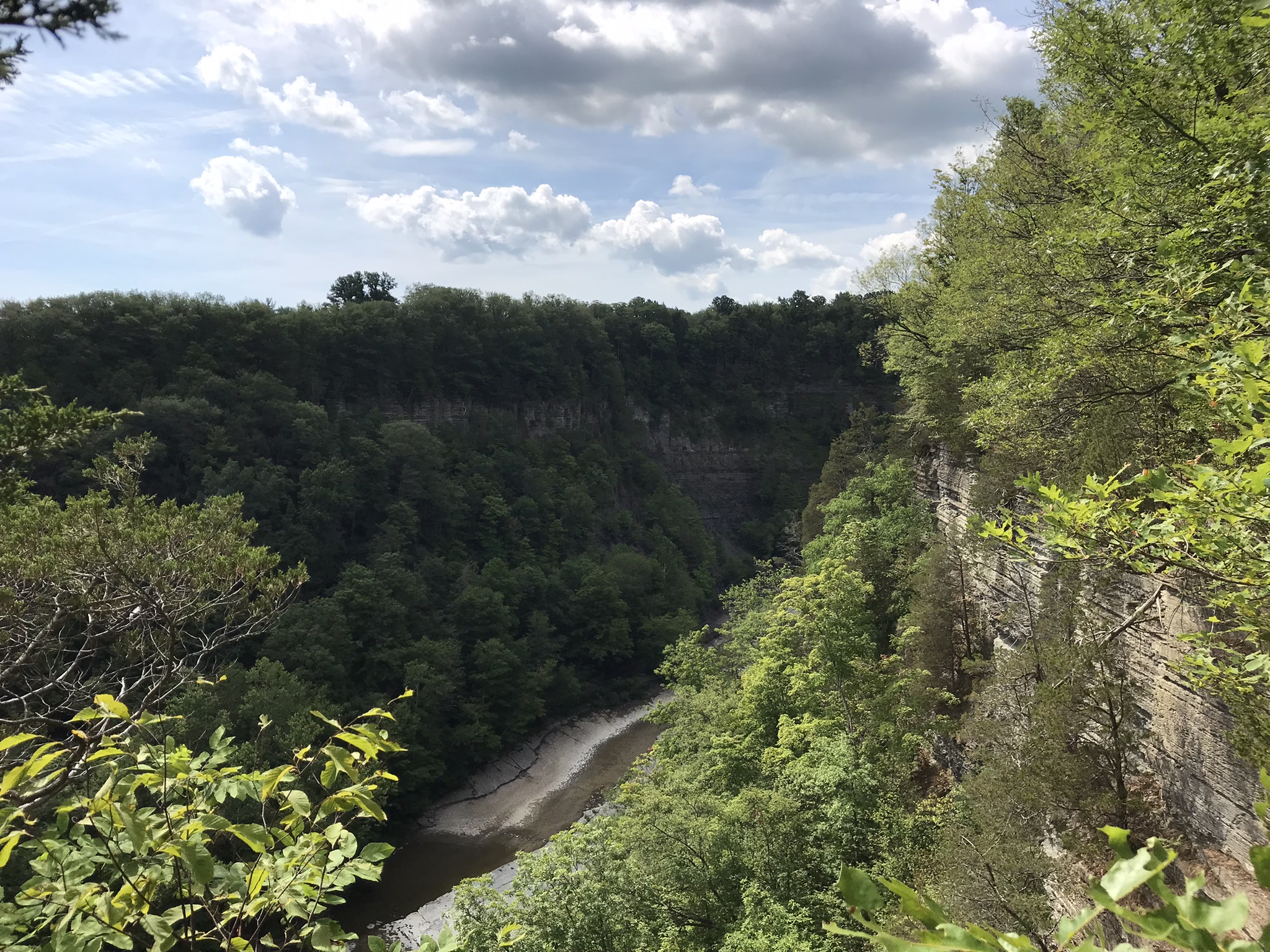
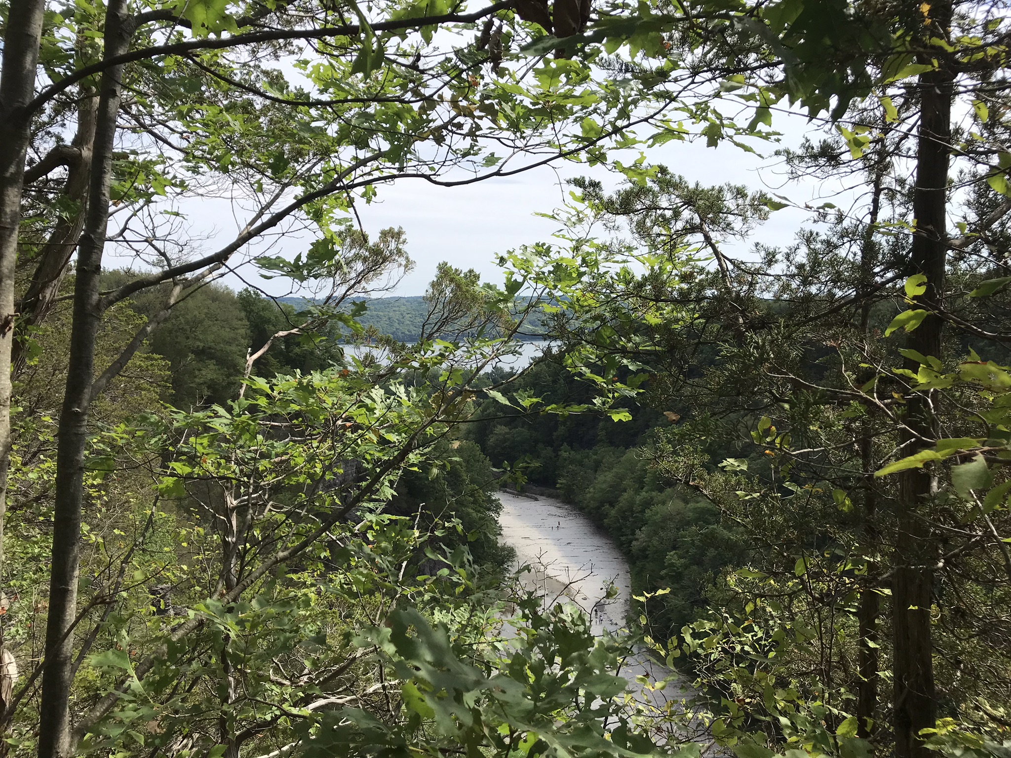
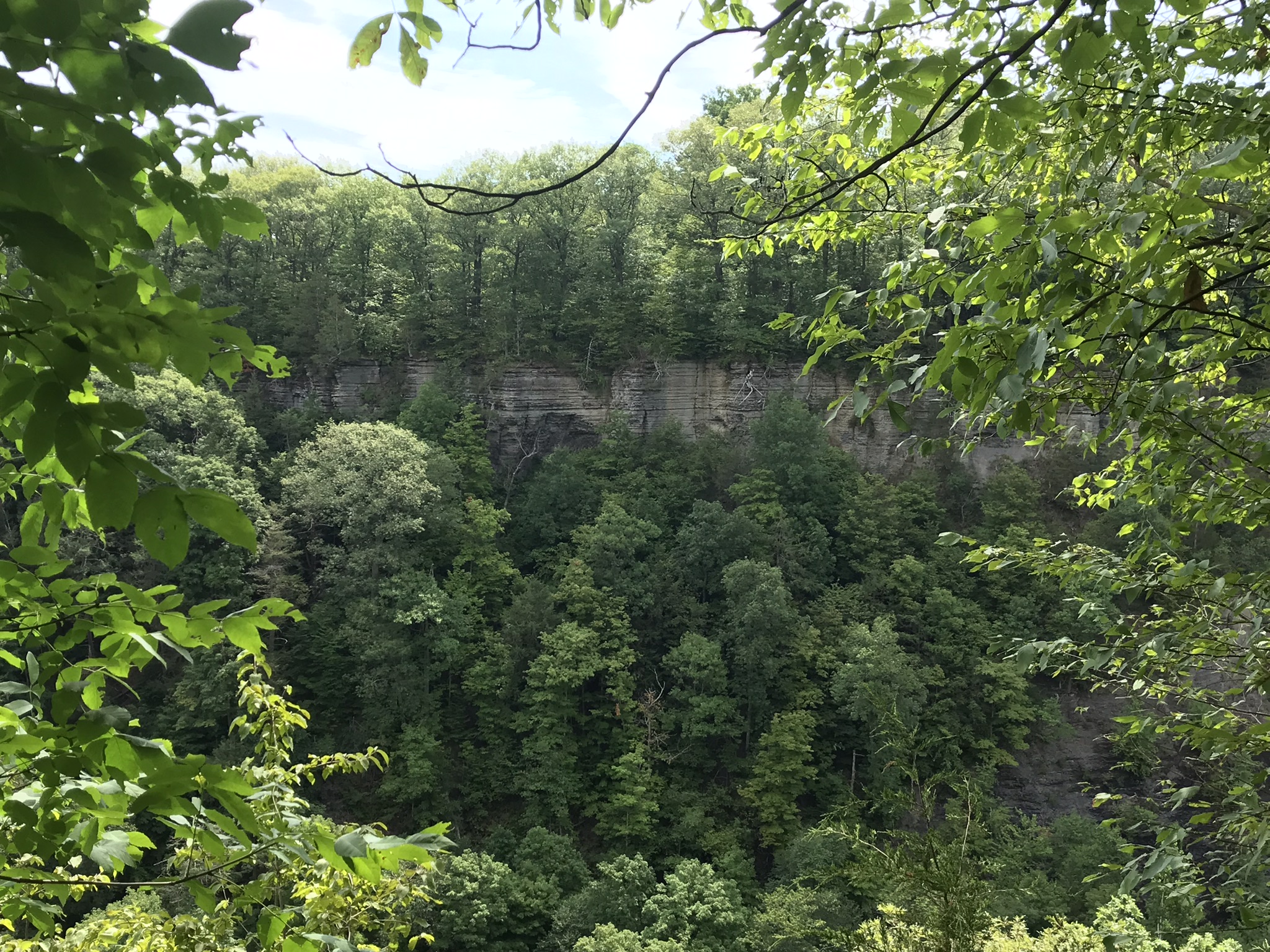
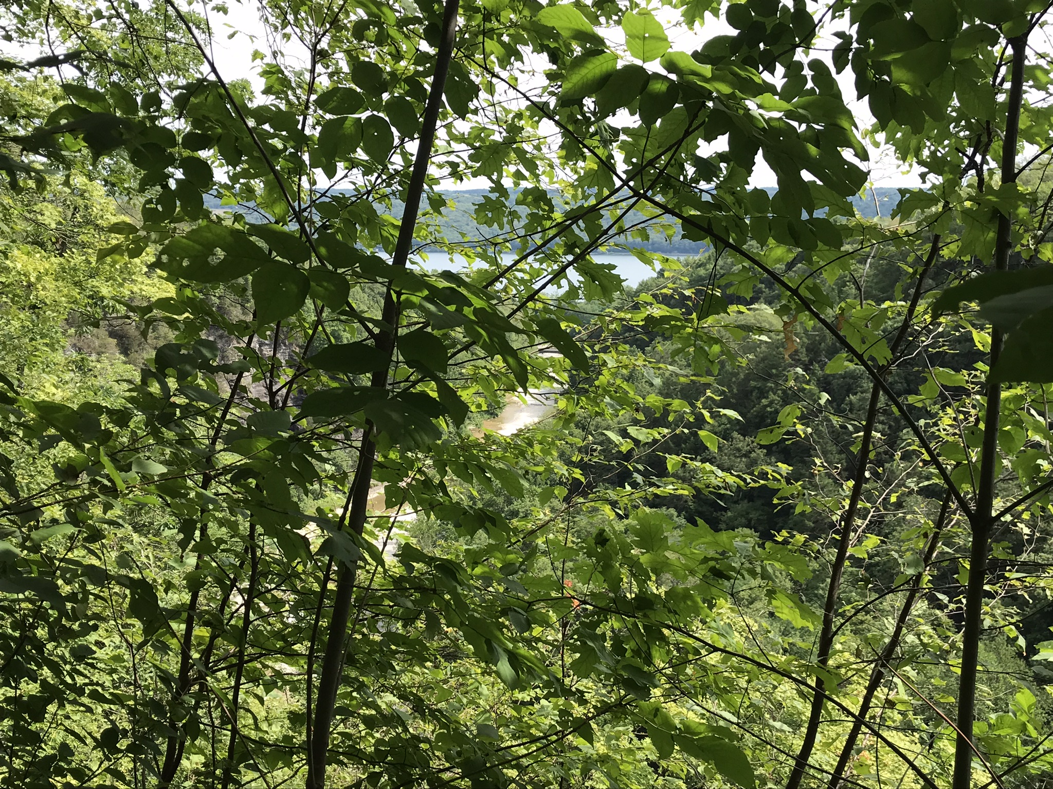
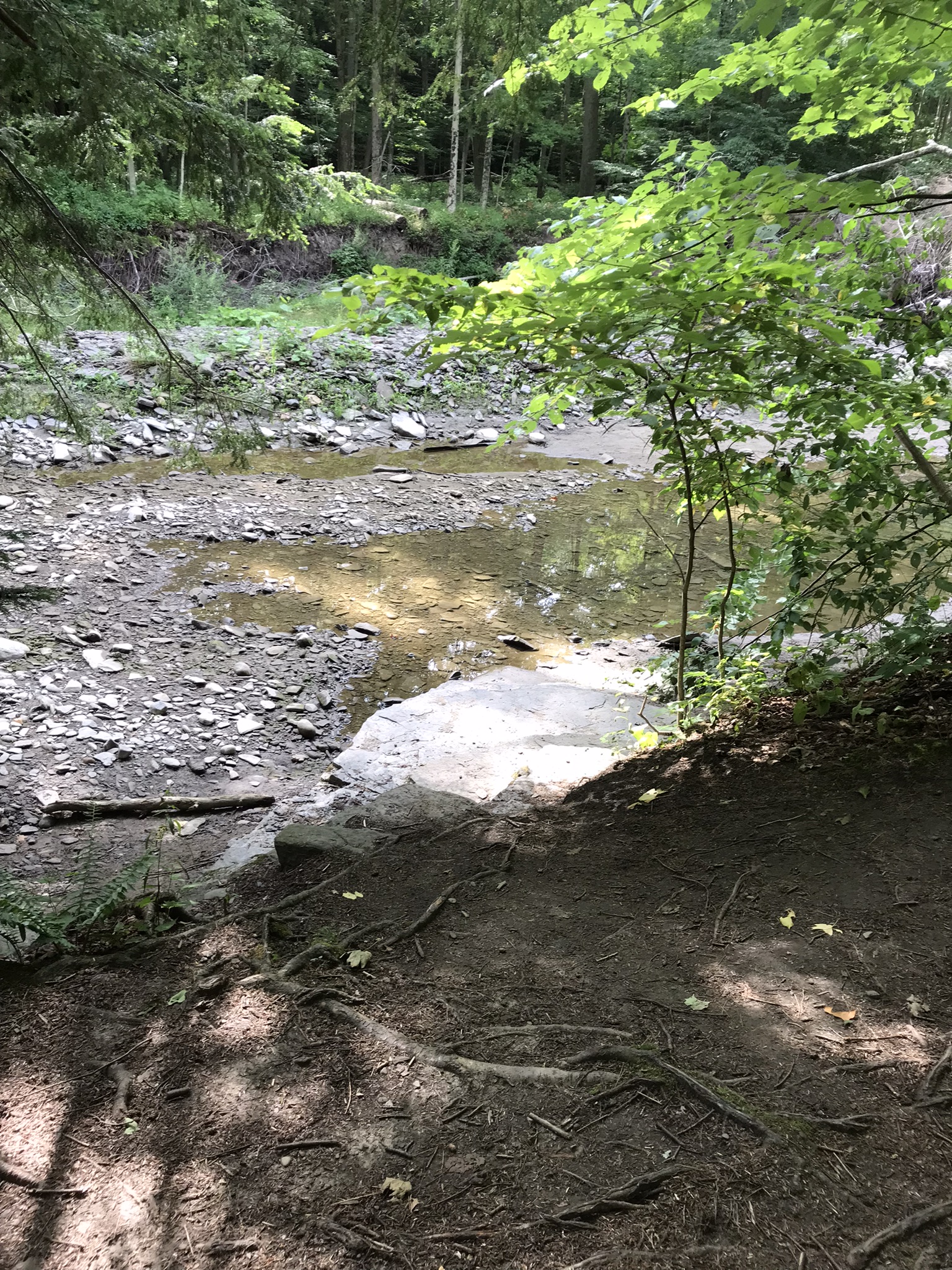
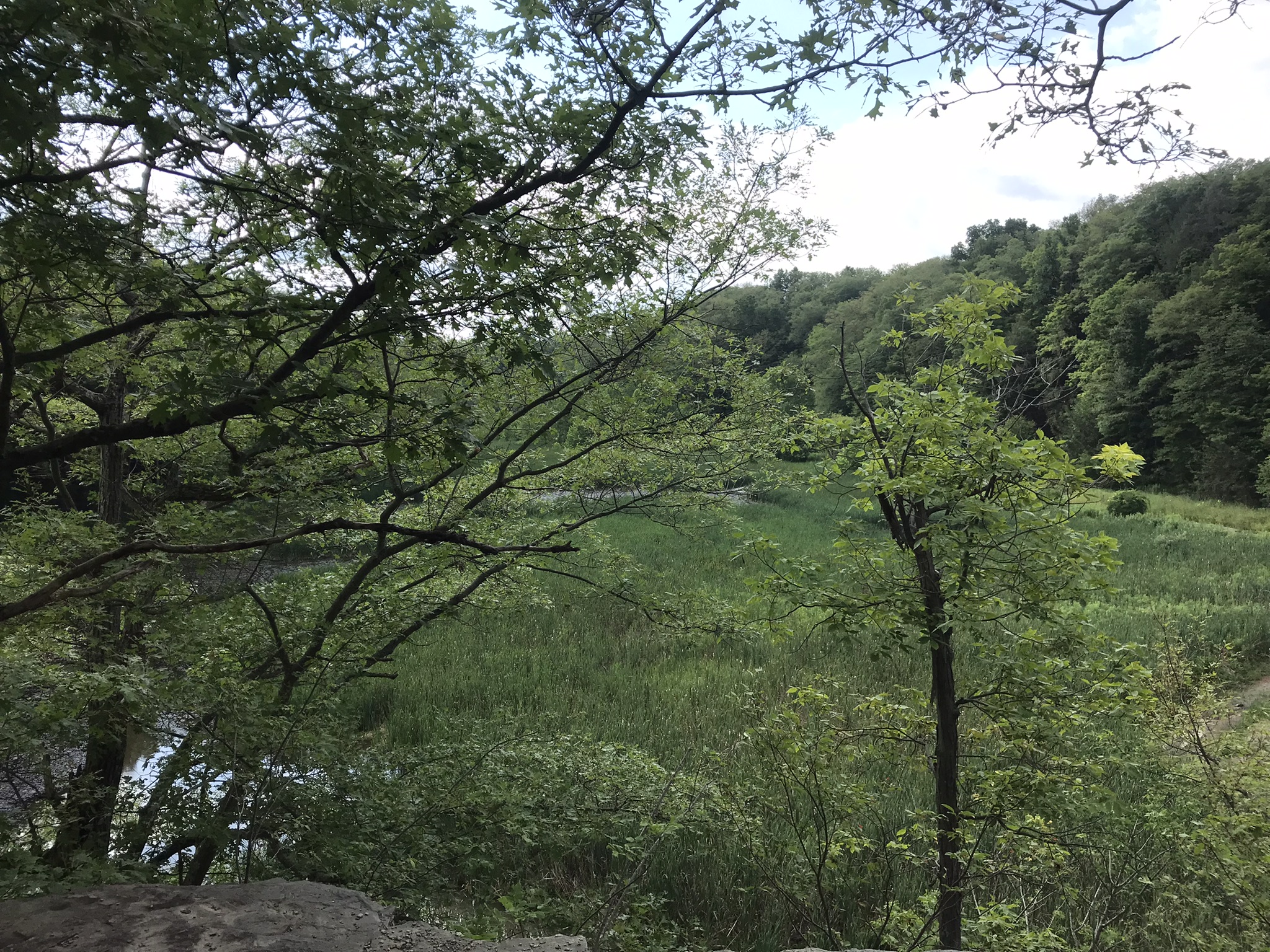
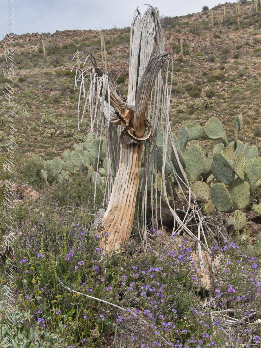
….as well as the surroundings. The geological formation is the escarpment of Black Mesa above O’Grady Canyon.
The name O’Grady Canyon piqued my interest, so I poked around the internet and found this posting from Tom Kollenborn, a well-known authority on the Superstitions.
“I was told Tim O’Grady prospected the area for about twenty-five years before moving to Washington. He was a well known character around Apache Junction from about 1945 – 1980. There are other interesting stories about Tim. I visited with him several times on the old First Water – Charlebois Trail in the late 1950’s and early 1960’s when I worked for the Barkley Cattle Company.
Tim’s Saddle was named after “Rattlesnake” Tim O’Grady a prospector who searched the Superstition for the Dutchman’s Lost Mine in the 1950’s and 1960’s. O’Grady Canyon is also named after him. The story goes something like this. A USGS map crew was working in the area around Parker Pass in the early 1950’s and came across this old white bearded prospector. They ask him about several landmarks in the area and their names. He pointed to a saddle and said that is Tim’s Saddle and the canyon on the right is O’Grady Canyon. They talked for a while about other landmarks and finally ask the old prospector for his name. He looked at them politely and said he was Tim O’Grady. The last I ever heard of “Rattlesnake” Tim O’Grady was he moved to Washington. He was 87 at the time.
Click me for another Superstition Wilderness Episode
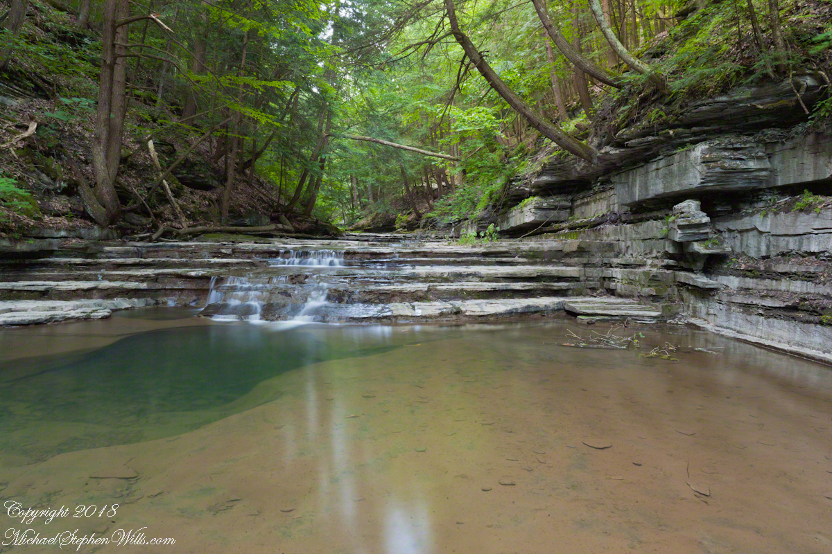
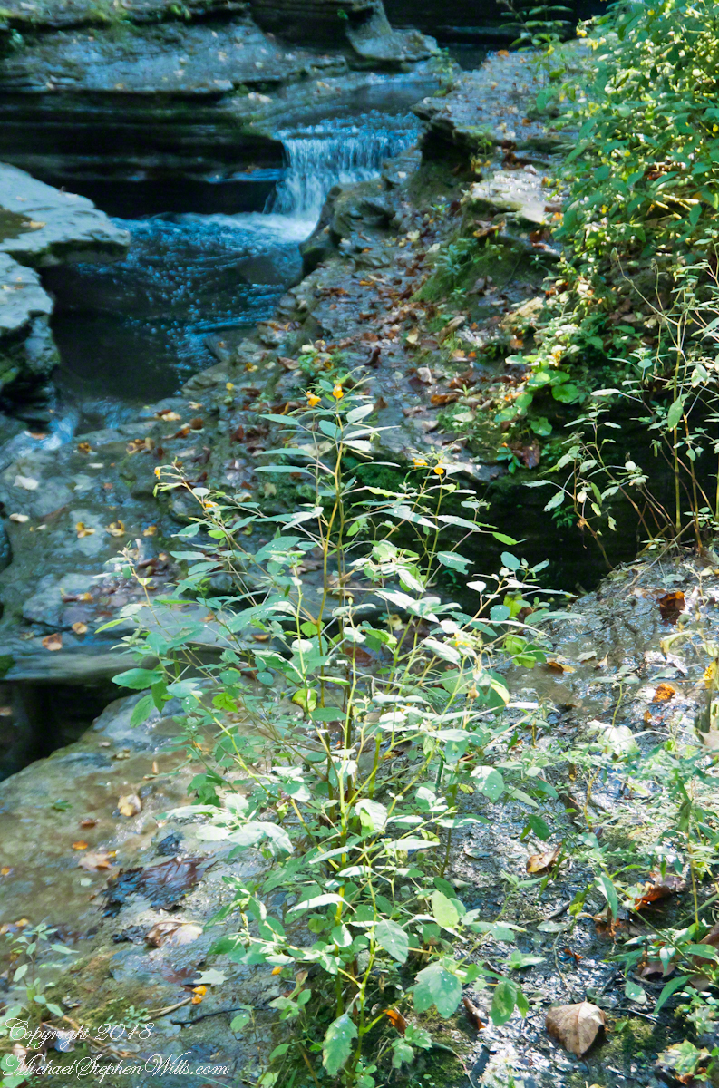
Copyright 2022 Michael Stephen Wills All Rights Reserved