Friday last Pam and I joined a “James Potorti Memorial Gorge Walk” through Buttermilk Falls State Park where we learned interesting facts connected to one of my most successful photographs, “Summer Dream: Buttermilk Falls.” This is the fourth post of this series.
Starting Point
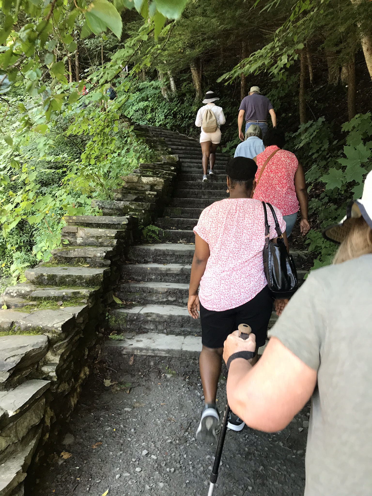
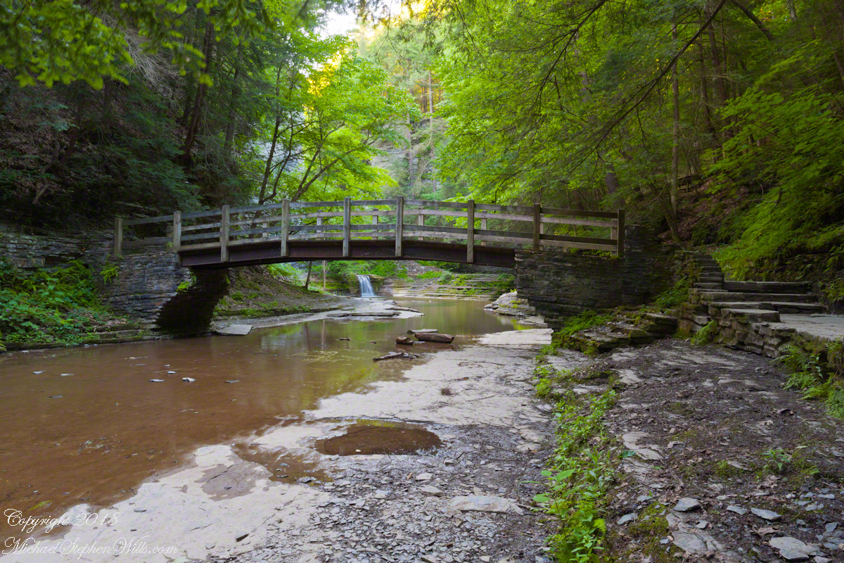
Buttermilk Falls State Park has two parks, upper and lower. Friday’s hike began at lower park. Using GoogleEarth I see the half mile trail along the lower gorge climbs 506 feet, 355 feet of this is ascended in 300 steps in the first quarter mile. Here is a view of the magnificent cascade that greets lower park visitors.
To my knowledge, nobody has ascended the creek bed at this point. The climb is not impossible, people with technical rock climbing skills and equipment can do it. We use the trail. Most often, Pam and I visit the upper park and walk down the gorge to the top of this ascent. Friday, we walk up with everyone else.
Creek Level Photographs
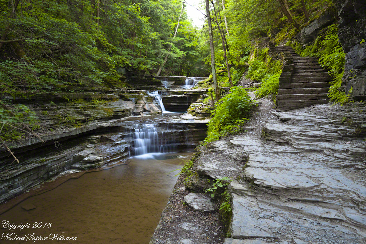
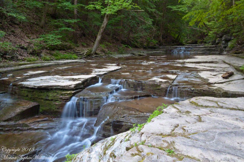
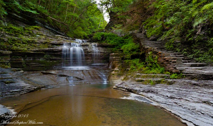
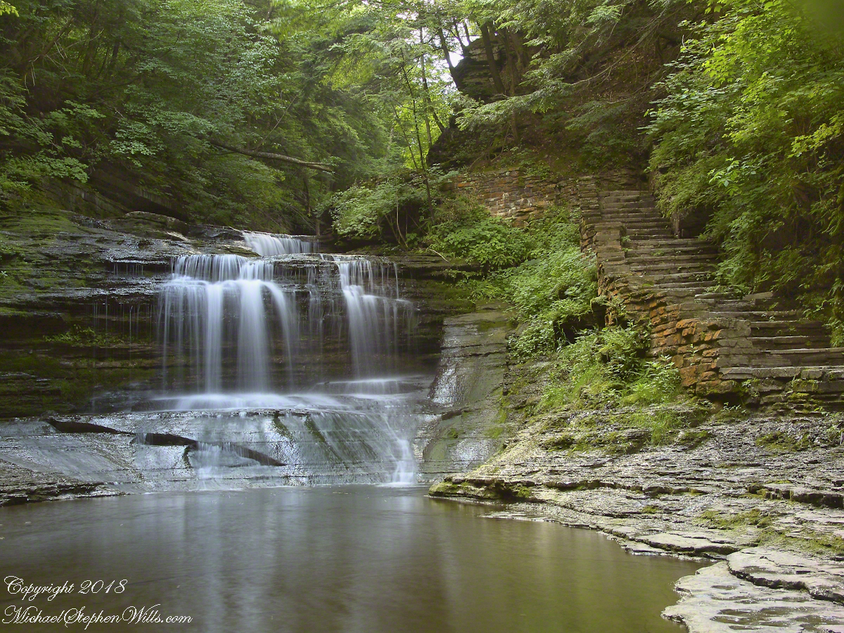
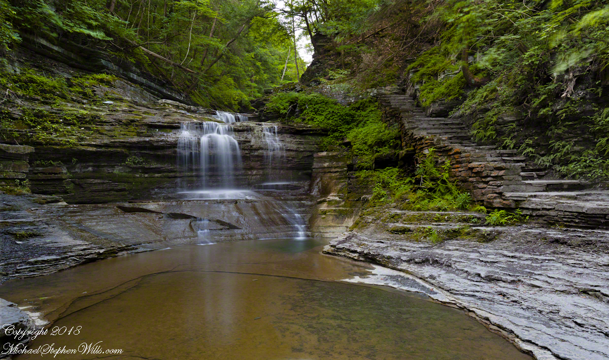
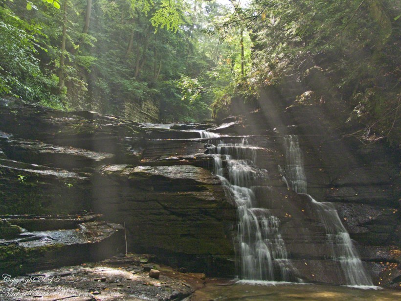
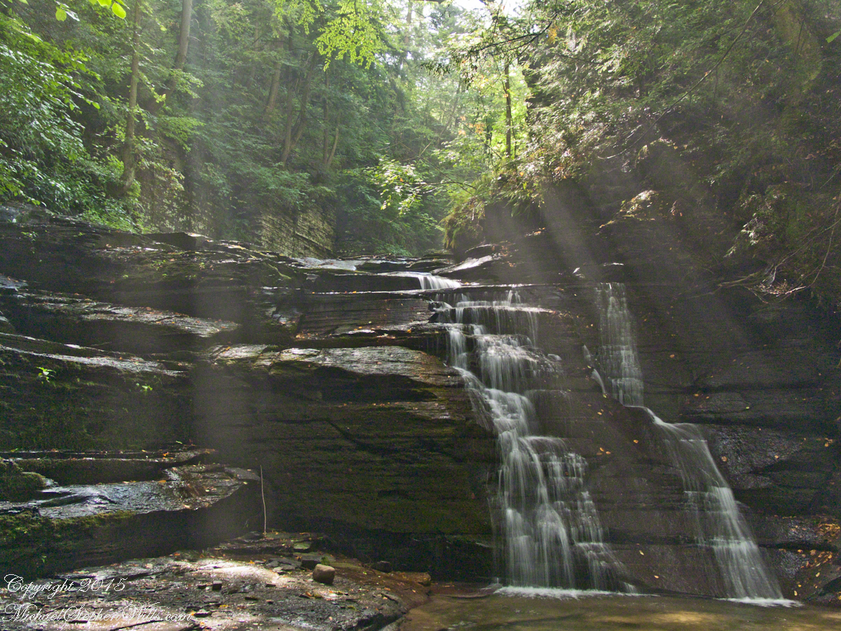
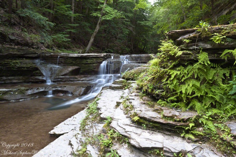
On a July morning 2018 I walked Buttermilk Creek from the scene of my “Summer Dream: Buttermilk Falls”, up the steps on the right of that photograph to where the water flows across a flat expanse of stone. The following three photographs from that walk were taken using a tripod mounted Canon EOS 1DS Mark III body with the Canon lens EF 24mm f/1.4L II USM w/a neutral density filter (0.6 as I recall).
Click any photograph for a larger view.
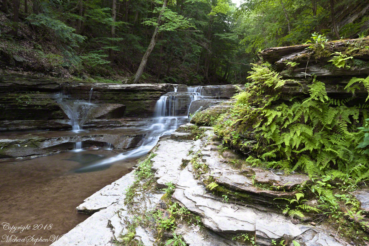
Low Flow
The “secret” behind my successful “Summer Dream: Buttermilk Falls” photograph is waiting for a seasonal low creek flow. For the same reason, this is a safe time to walk this part of the creek to capture the scene. See the previous post, “Walking Buttermilk Creek”, for the entry to this creek level walk. Attempting to walk the creek in other seasons can be fatal….there is a plaque along the trail memorializing an attempted rescue during a March flood where two people died: the rescued and the rescuer.
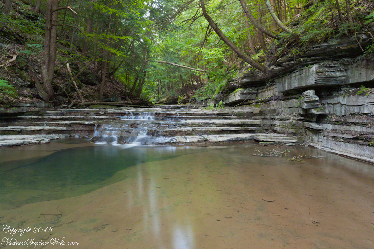
The most difficult passage was through the above photograph. I walked along that narrow, water level ledge using the tripod as a third leg. Here is a link to my waterfall photographs on Getty IStock, including the series captured on that July 2018 morning.
In Memorium
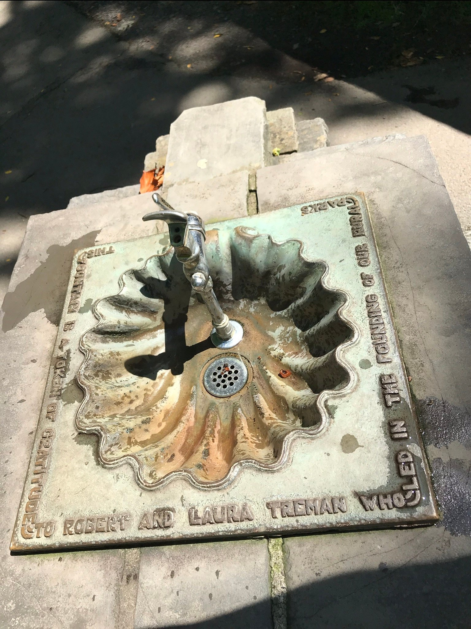
James Potorti was a native of Ithaca who perished at 52 years of age in New York City on September 11, 2001 were he worked on the 96th floor of 1 World Trade Center.