Pam and I arrived at Mesa Verde early one summer morning in July and spent time understanding the landscape of the ruin sites and the lighting. I made a mental visit plan and decided to arrive at the cliff palace mid-afternoon and it turned out, of the tour times available, this was the best. It is possible to make special arrangements for access, to take photographs, and maybe I will give this a try in my next life.
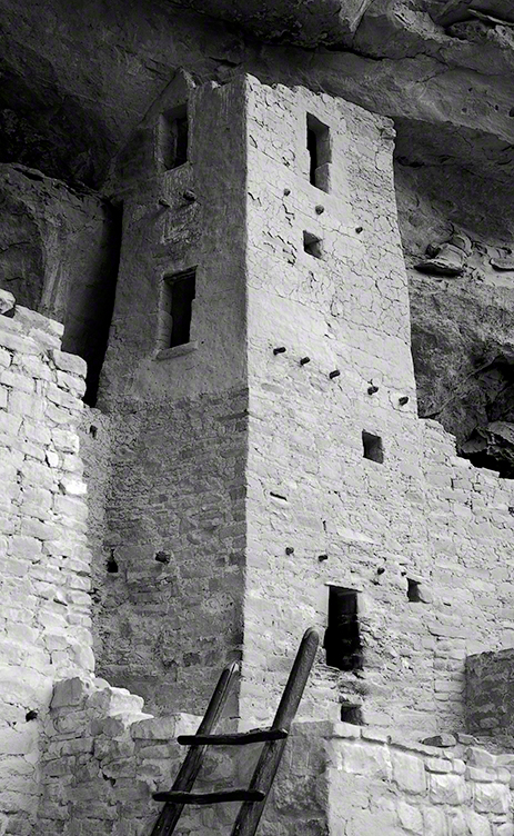
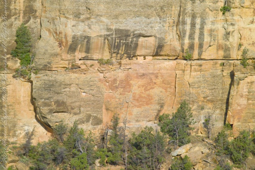
This four-story square tower, located at the south end of the alcove, at one time reached the ceiling. Access to the upper rooms was provided by hatchways in the lower room roofs.
What about that T-shaped door?
On the fourth floor, a T-shaped doorway suggests a balcony because that type of opening in the wall, designed to minimize the area, was used as a doorway.
Bend over Backwards
Inside the tower are well preserved wall paintings. To view them, you side in that lower opening, facing outwards and, bending backwards, look up into the tower. You need to hold onto the wall to do this and its the only time we were allowed to touch the ruin.
The Kiva
The modern wooden ladder rises from a kiva platform. Notice the level of wear on the top of the ladder posts. There are three kivas visible from the tower and at a later time I might post about these.
Copyright 2023 Michael Stephen Wills All Rights Reserved
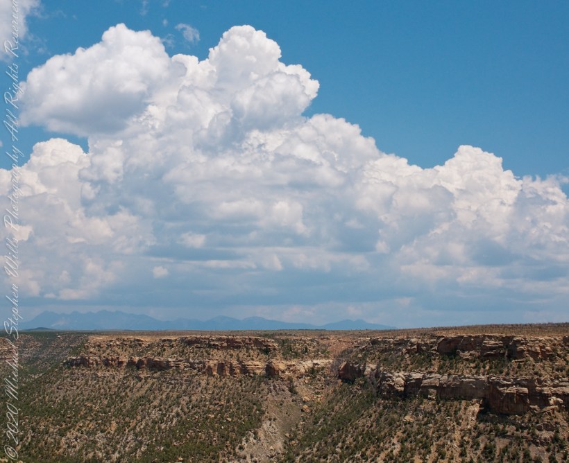
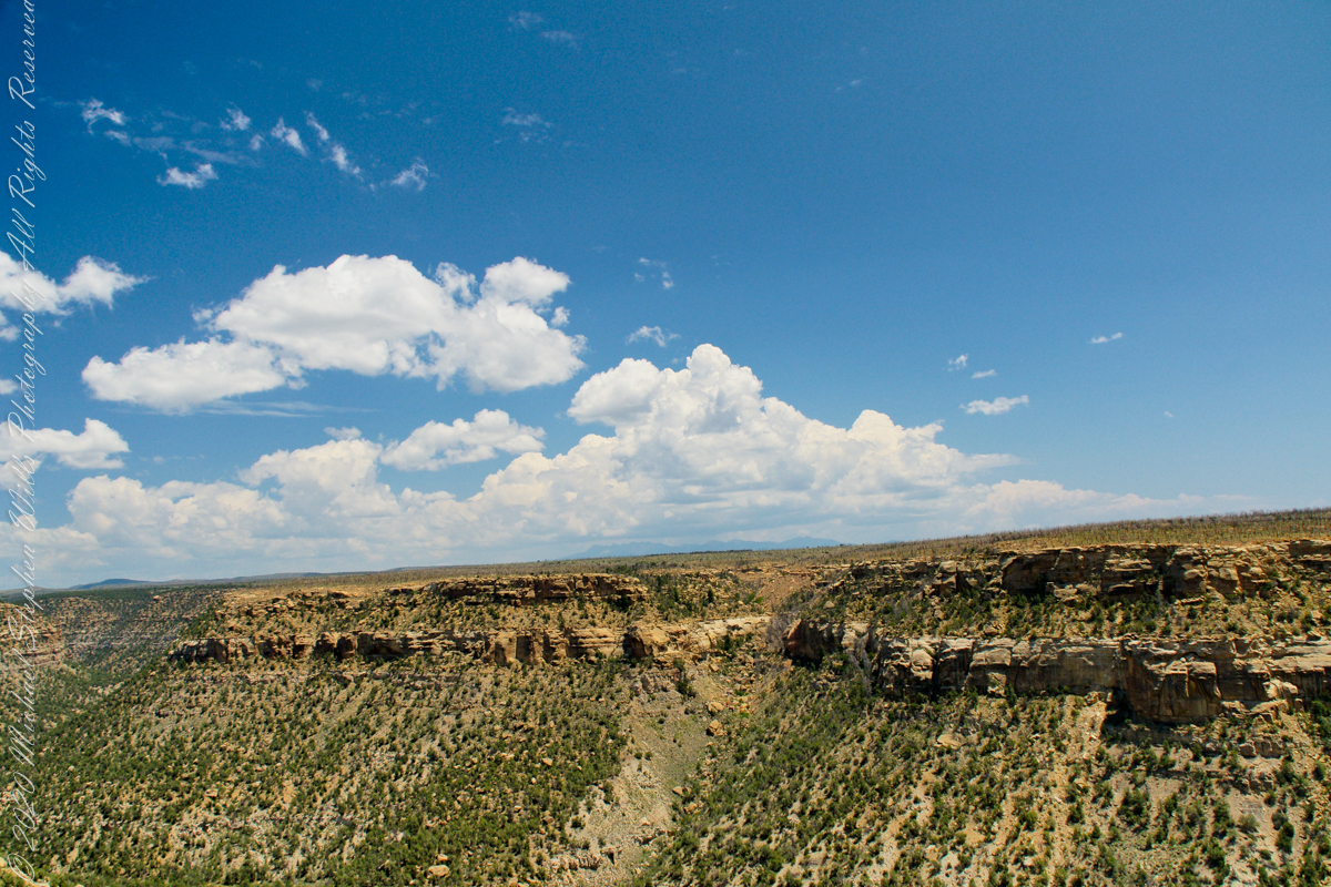
Chapin Mesa is the site of the Mesa Verde Anasazi ruins Balcony House and Cliff Palace. These are the views you see before the descent below the cliff rim to visit Balcony House.
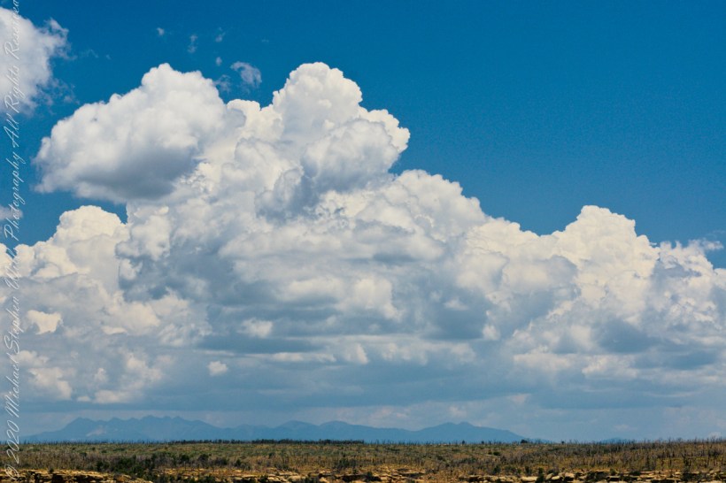
These views from the Chapin Mesa rim are companions to two photographs of Balcony House, taken on the same morning. You are looking northeast across Soda Canyon, to a thunderstorm building above the San Juan mountains in the distance. Route 550 from Durango to Silverton climbs passes into these peaks, on the way to Telluride. Chapin Mesa is part of Mesa Verde National Park.
The following fine art image is a combination of the previous photographs
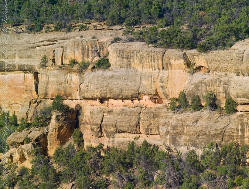
The Anasazi (“ancient ones”) constructed 15 rooms on a 10 foot deep cliff alcove and used a toe-trail (literally a series of depressions in the rock used to gain traction) to climb to the mesa top (shown in this photograph) and the canyon.
A toe-trail security feature is the necessity to start using the correct hand/foot combination, otherwise there will be a point from which it is impossible to proceed. There are 15 rooms here: a kiva, on the far left, a multi-story building, on the right, with 4 upper rooms and 10 ground floor spaces. They probably blocked the openings in cold weather to conserve heat.
The Anasazi had gardens on the mesa top or the canyon, plus they hunted and gathered wild foods. In the gardens, they planted corn, bean, squash and watermelon in the rich soil. They also gathered wild plants and herbs such as bee-weed, ground cherry, milkweed, cattail, wolf berry and sedge grass Cliff dwelling alcoves include a seep spring, a seam in the rock through which a small amount of water flowed. Imagine the difficulty of hauling water every day if there was not a water source in the alcove.
Can you find the unnamed ruin also in this canyon, we call it “Cliff Canyon”? These ruins are outside the national park boundary, inside the Ute Mountain Ute Indian Reservation.
House of Many Windows
The “window” of this cliff dwelling (ruin) was actually a door!! The Anasazi (“ancient ones”) constructed two rooms in this narrow cliff alcove.
The two rooms here are what seems to be a round wall, possibly a kiva ruin, on the left and a single story building, on the right, being the single wall with an opening for access. They probably blocked the opening in cold weather to conserve heat. It is possible this site had a special use and was occupied for a limited period of time each season/year.
Cliff dwelling alcoves include a seep spring, a seam in the rock through which a small amount of water flowed. Imagine the difficulty of hauling water every day if there was not a water source in the alcove. The large juniper to the left attests to a water source, since it grows from a shared crevice.
The protective alcove was deeper in the past. The desert varnish (the dark marking) above the alcove marks a place where water seeps from the cliff and, in cold weather, expands under the overlying rock, causing it to fall. Can you see where the cliff face has fallen above the ruin? The lack of desert varnish shows the rock fall was relatively recent.
Copyright 2023 Michael Stephen Wills All Rights Reserved
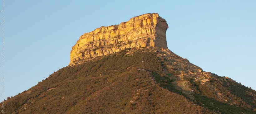
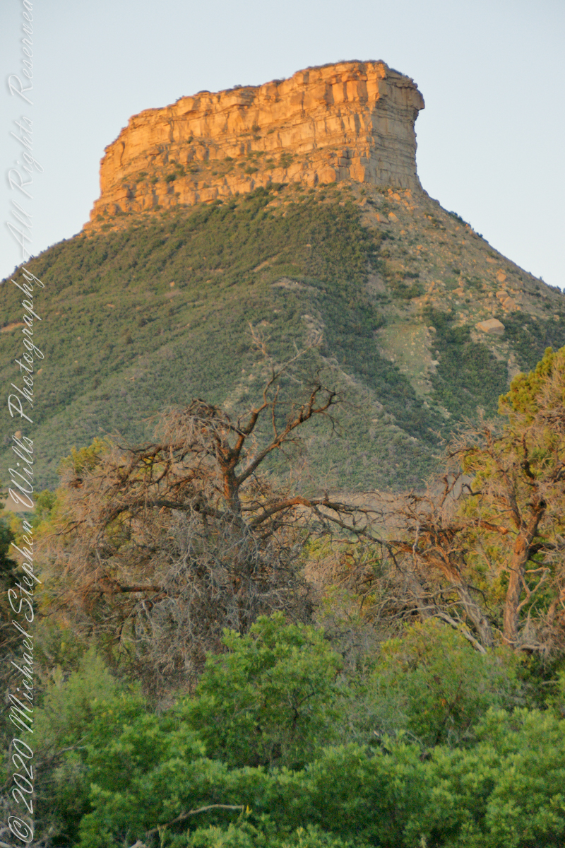
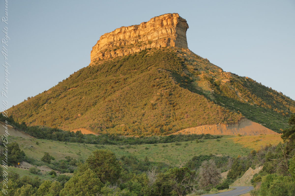
This dramatic butte at the entrance to Mesa Verde National Park, golden in the first light of a July morning. My wife, Pam, and I were on this road in the pre-dawn hours. Our delight with this surprise view was worth it.
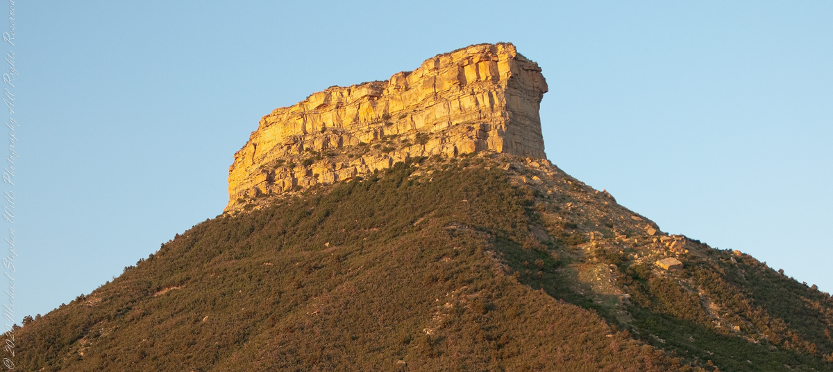
In this Point Lookout area, near the park’s entrance, the Mancos Shale is about 2,000 ft thick, and this is what this butte is composed of. Mancos Shale is the lowest formation of the park and is a thick sequence of gray to black marine shale containing minor tan siltstone and fine sandstone beds. On steep slopes, such as those near the northern and eastern boundaries of the park, this formation is prone to landslides and debris flows. This is the base of the butte. The lovely golden rock is Point Lookout Sandstone of the Mesaverde Group, a predominantly yellowish-gray or pale-orange, fine- to medium-grained marine sandstone, approximately 300-400 ft thick. The Point Lookout Sandstone forms much of the cap rock in the northern park area.
I reworked the above image into this Fine Art image of Point Lookout.
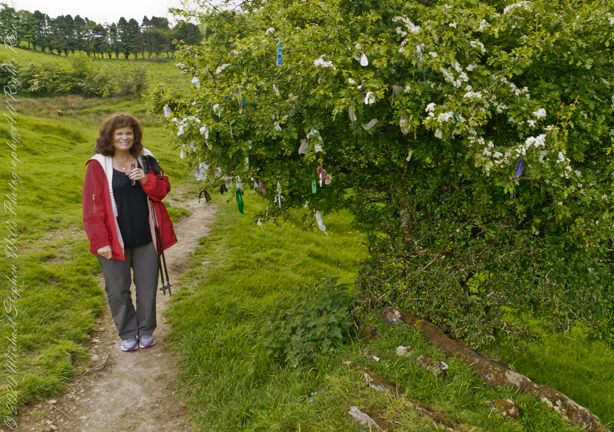
Pam and I were lucky enough to plan our tour of Ireland for May and June when the Hawthorne trees are in bloom. Named sceach gheal in Gaelic, the white clusters of blossoms symbolize hope. Hawthorns are plentiful throughout the island. The Irish revere the tree and associate each Hawthorn with the Little People. There are roads in Ireland that curve around a Hawthorn tree because the local people convinced the engineers to do so, to save the tree.
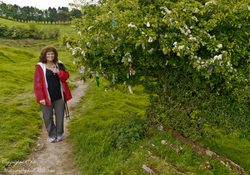
This specimen, covered with offerings (to the Little People?), is on the trail to Loughcrew. Even with her knee trouble, Pam made it to the top of the Hag’s Mountain to visit Cairn T of the Loughcrew Passage tombs.
The steep path to Loughcrew passes a hawthorn covered with flowers and may offerings.
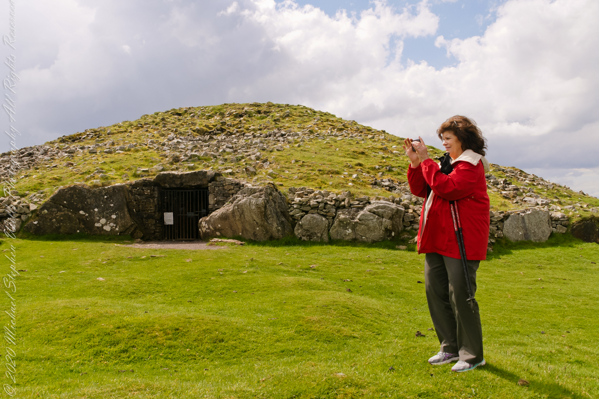
Pam loves to capture images and returned from Ireland with a large collection. Most of the photos of me at work are by Pam. Here Pam is capturing the summit view of Hag’s Mountain with the Cairn T entrance gate in the background. Lucky for us, a fellow visitor made the trip to Loughcrew Gardens and picked up the gate key from the café. In a later post I will share my work from inside this passage tomb.
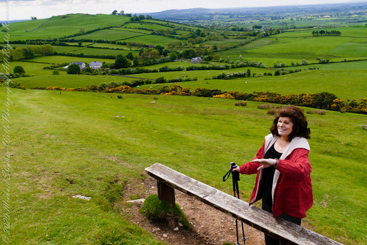
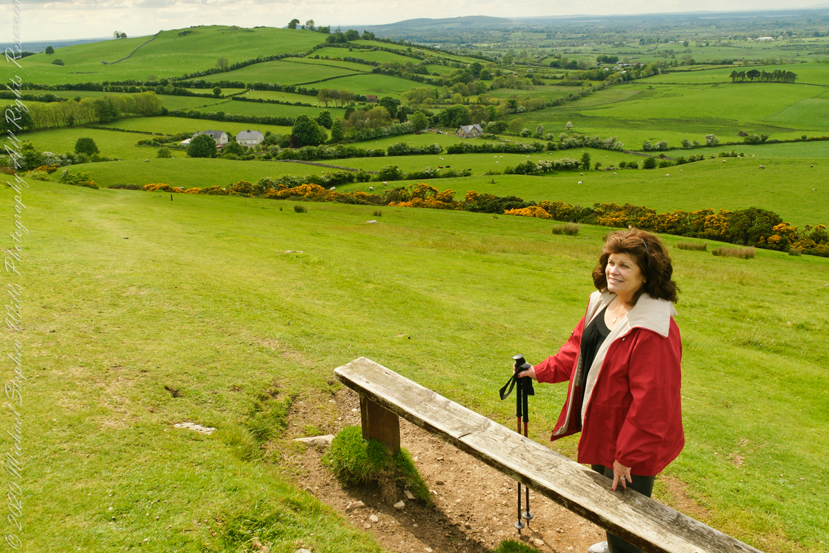
Pam makes friends wherever we go. She started down the mountain before me to take it easy on her knees. When I caught up, Pam and a young Irish family were deep in conversation. I took the opportunity to capture Pam with that gorgeous view to the northwest, Irish countryside with Lake of the Branches in the far distance.
Copyright 2023 Michael Stephen Wills All Rights Reserved
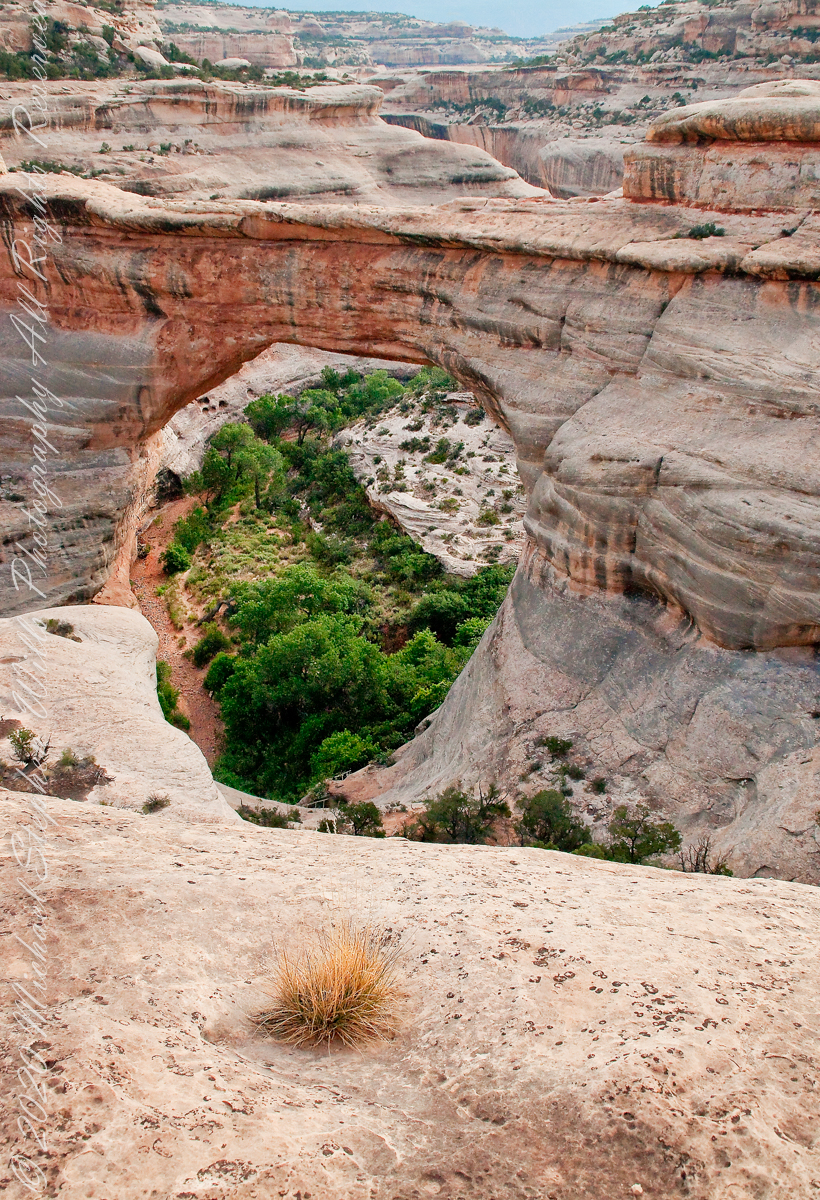
Sipapu is one of the largest natural bridges known.
Part of the Natural Bridges National Monument in Utah, a place inaccessible until the “uranium boom” of the 1950’s and the road was only paved in 1976.
We visited on a July day of thunderstorms, which you see building here. If you look closely at the base of the bridge, you can see the railings my wife and I used to climbed the steep sides of White Canyon.
We hiked a few miles along an unmaintained trail. On the way we passed ancient cliff dwellings. The area is a maze of canyons throughout which these ruins are scattered.
Sipapu is a Hopi word for the small hole or indentation in the floor of kivas used by the Ancient Pueblo Peoples and modern-day Puebloans. It symbolizes the portal through which their ancient ancestors first emerged to enter the present world.
A natural bridge is formed through erosion by water flowing in the stream bed of the canyon.
Sipapu Bridge is 268 feet across and, standing in the stream bed, it is 220 feet above your head. That is white Permian sandstone, after which White Canyon is named.
Copyright 2023 Michael Stephen Wills All Rights Reserved
“From the fire tower on Bear Swamp Hill, in Washington Township, Burlington County, New Jersey, the view usually extends about twelve miles. To the north, forest land reaches to the horizon. The trees are mainly oaks and pines, and the pine predominate. Occasionally, there are long, dark, serrated stands of Atlantic white cedars, so tall and so closely set that they seem spread against the sky on the ridges of hills, when in fact they grow along streams that flow through the forest. To the east, the view is similar, and few people who are not native to the region can discern essential differences from the high cabin of the fire tower, even though one difference is that huge areas out in this direction are covered with dwarf forests, where a man can stand among the trees and see for miles over their uppermost branches. To the south, the view is twice broken slightly — by a lake and by a cranberry bog — both otherwise it, too, goes to the horizon in forest. To the west, pines, oaks, and cedars continue all the way, and the western horizon includes the summit of another hill — Apple Pie Hill — and the outline of another fire tower, from which the view three hundred and sixty degrees around is virtually the same as the view from Bear Swamp Hill, where, in a moment’s sweeping glance, a person can see hundreds of square miles of wilderness. The picture of New Jersey that most people hold in their minds is so different from this one that, considered beside it, the Pine Barrens, as they are called, become as incongruous as they are beautiful.” From The New Yorker magazine, November 26, 1967, “Profiles, The Pine Barrens I” creative non-fiction by the great John McPhee.
This quote captures the contours of a place, now known as “The Pinelands,” a corner of Burlington County, New Jersey my English, Irish, Scottish ancestors settled from 1677 until my grandfather, James Edward Wills, left for northern New Jersey, Asbury Park, in the first years of the twentieth century. This past decade, more so since retirement 2017, I’ve explored these two hundred and twenty (220) or so years beginning with amorphous asides over the years from my father and second hand through my sisters then through online research via Ancestry.com (Ancestry) and other searches.
From my father and sisters I knew to search southern New Jersey. The United States decennial census, “thank you Constitution,” listed a George and Margaret Wills with my grandfather among their children. Great Grandfather George Wills was listed as a 14 year old child of George and Mary Wills in the 1850 census. How could I be sure? DNA technology with internet based social interaction helped there. I was contacted by a Dellett descendant, identified by DNA as a fourth cousin, who claimed Mary Wills as a double great aunt, the daughter of James and Ann Dellett. Here is a screen capture of an Ancestry “ThruLines” analysis showing the six living ancestors of James and Ann in the database. I removed the names and photos of the other five to preserve privacy. The DNA fourth cousin relationship was an exact match to the family tree.
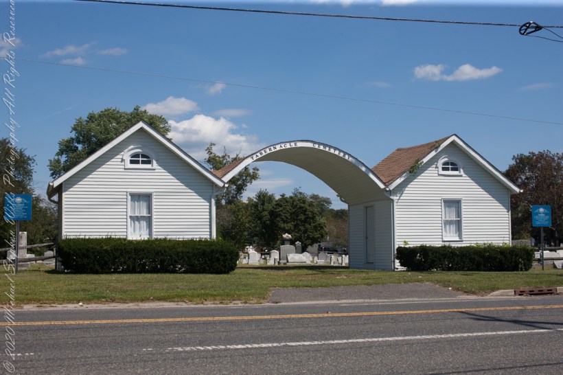
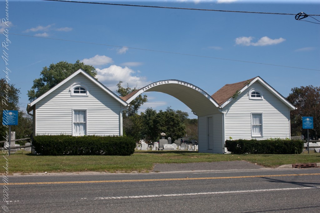
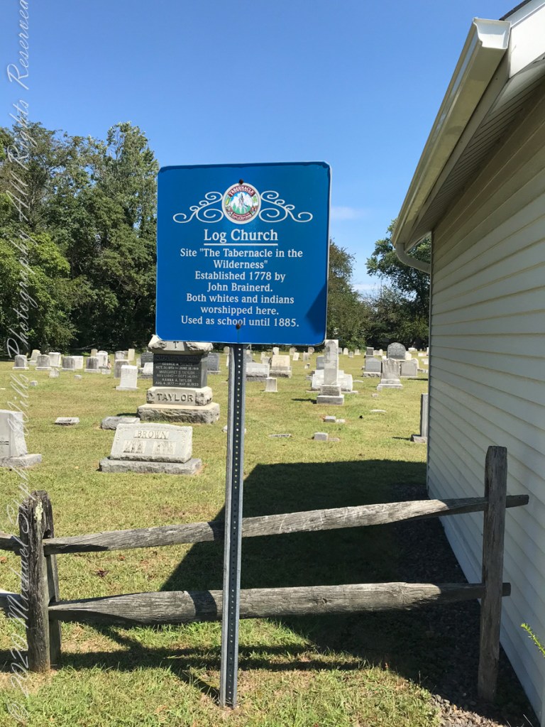
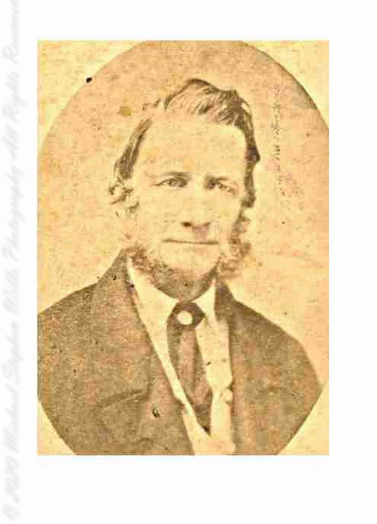
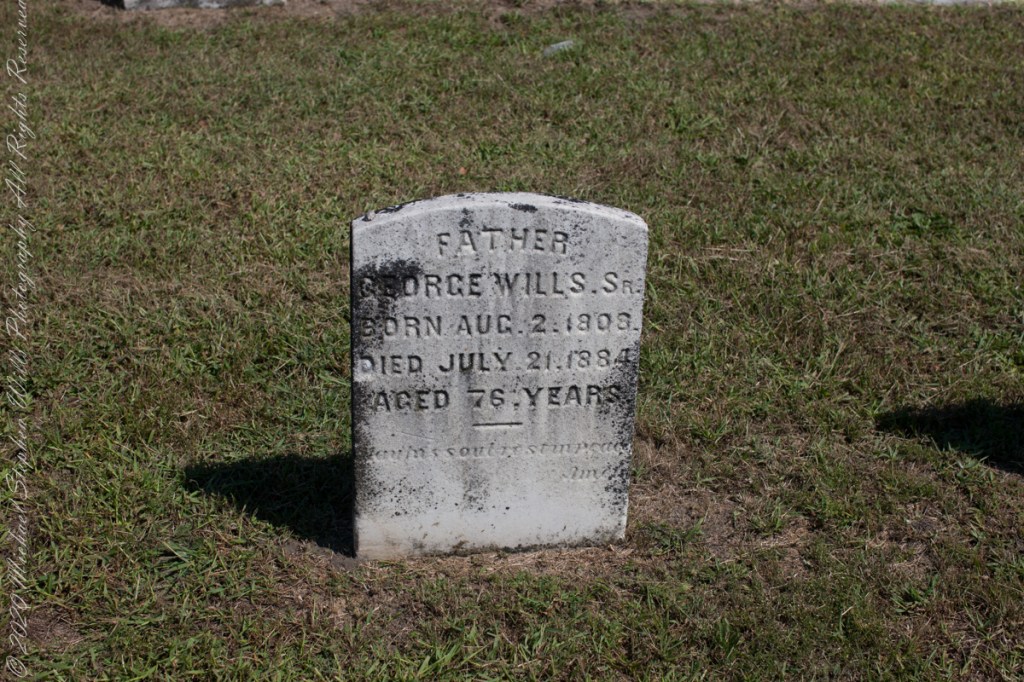
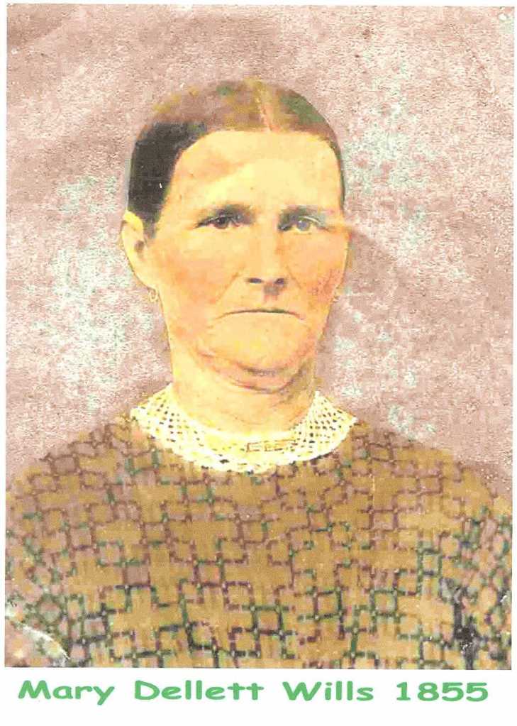
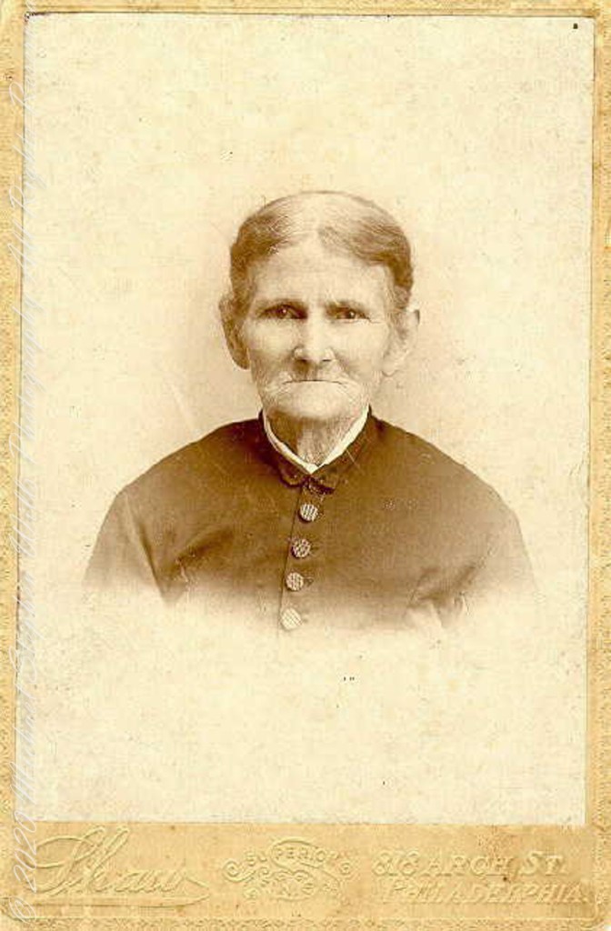
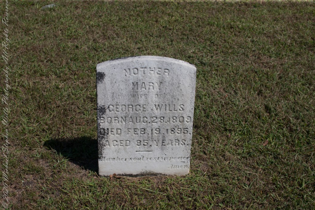
Cousin Delette provided antique photographs of George and Mary. I did a “FindAGrave” search, their final resting place is in a place named Tabernacle, Burlington County, New Jersey. September 2019 my wife Pam and I did a weekend tour with a bed and breakfast base in the city of Burlington, New Jersey. The rest of the photos in the following slideshow are from that weekend.
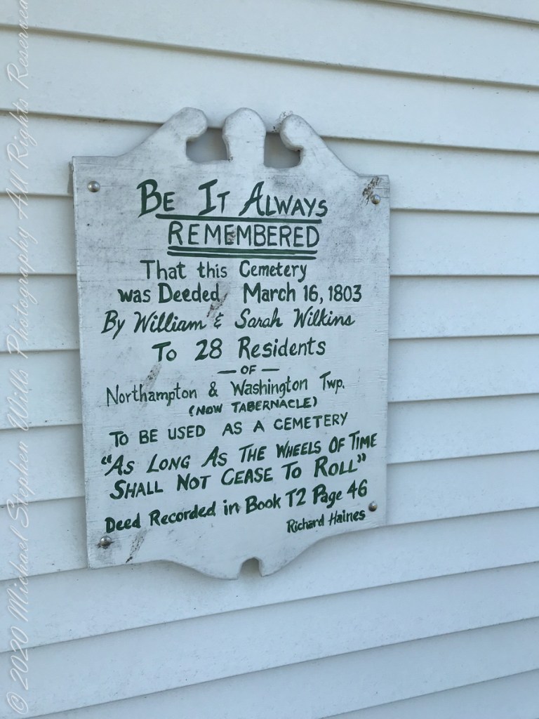
Resting place of double great Grandparents George and Mary WillsWooden Plaque on left sdie of entry pavilion. Sign to left of pavilionGeorge Wills, Hotel Keeper, around 1850Father, George Wills, Sr., Born August 2, 1809, Died July 21, 1884 Aged 76 years., May his soul rest in peace, AmenMary Dellett Wills, as widow after 1894Mother Mary wife of George Wills, Born August 28, 1809, Died February 18, 1895 Aged 85 years. May her soul rest in peace, Amen
Here is the same Ancestry “ThruLines” analysis with the immediate family links exploded. through my “first cousin 1 time removed” I was able to communicate with a “lost” niece of my father who shared reminiscences of him from the time he was just released from World War II Naval Service, before meeting Mom.
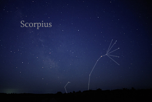
Twenty million years ago a then nonexistent earth-bound human civilization could recognize none of the prominent stars of the constellation Scorpius (The Scorpion) as these, compared to our 4.6 billion year old star, lit up less than 12 million years ago. The brightest star, Alpha Scorpii AKA Antares, is a red giant destined to burst into a supernova bright as the full moon within two million years. Will the human race be around to witness it?
Such as it is, The Scorpion was traced out by the Babylonian astronomers around 8 BCE following even more ancient Sumerian traditions naming Alpha Scorpii “The Heart of the Scorpion.”
I first became aware of Antares March 2009 during a stay on Cocoa Beach. Setting the room clock to a 5 am alarm to view the sunrise. As I sat listening to the surf, Antares glowed dark red in the south. It is the reddish tint star in the following illustration.
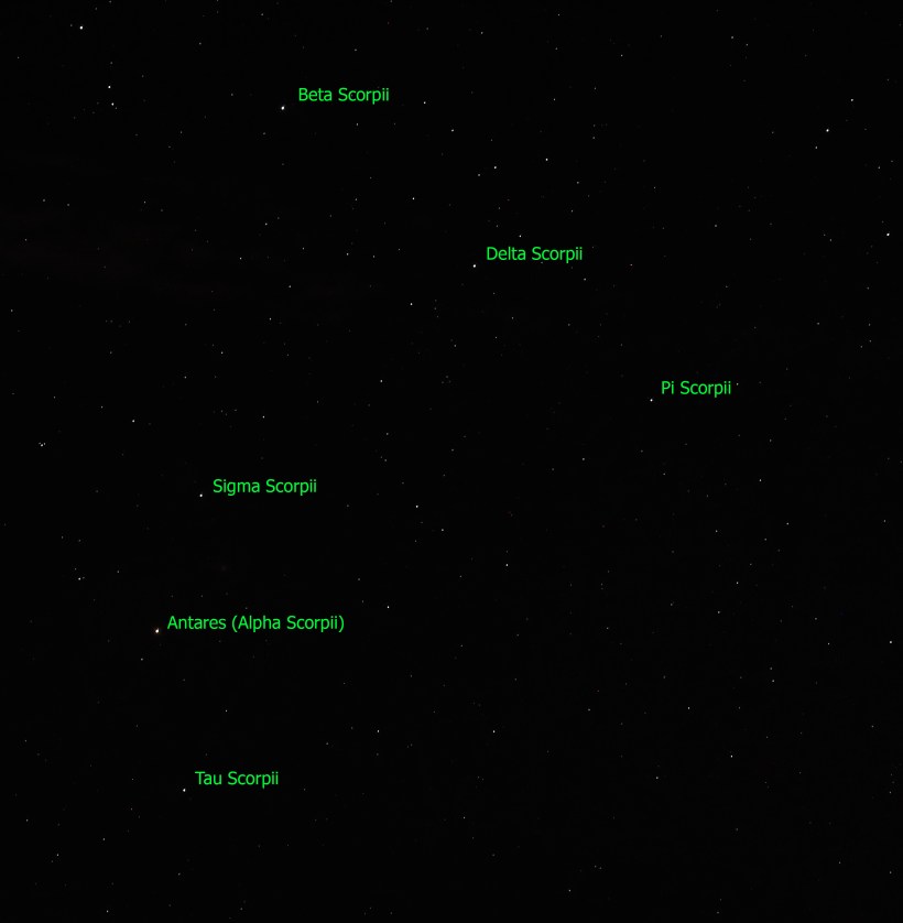
Here is a photograph of Antares, the reddish dot in center, along with the 6 of the 18 Scorpius bright stars. For this shot a Canon EOS 5D Mark IV dlsr had mounted a Canon lens EF 70-300 f4-5.6L IS USM set to 70 mm focal length, 1600 ISO. Exposure was “bulb,” meaning when the shutter button is pressed and held the shutter remains open: for this exposure this was for approximately 10 seconds. The equipment was held steady on a Manfrotto BeFree Carbon Fiber tripod. As the Earth continued to turn, the resulting star images are smeared a bit.
Bracketing Antares, the Scorpion Heart are “The Arteries” Theta and Tau. About those Greek letters, these designate relative brightness of each star respective of the others in the constellation. “Alpha” the first letter of the Greek alphabet is the brightest. Here are the other letters listed, with the alphabetic order in brackets Beta(2), Delta(4), Pi(16), Sigma(18), Tau(19). Ancient Greek built on the traditions of the Mesopotamians (Babylonian and Sumerian) and were in turn used for modern stellar nomenclature, including the tracings of sky images, the constellations.
The position of a relatively minor star, Tau, near Antares elevates it to the important function of an artery. The stars themselves run against their brightness hierarchy placement: The star Delta Scorpii, after having been a stable 2.3 magnitude star, flared in July 2000 to 1.9 in a matter of weeks. It has since become a variable star fluctuating between 2.0 and 1.6. This means that at its brightest it is the second brightest star in Scorpius.
Copyright 2023 Michael Stephen Wills All Rights Reserved
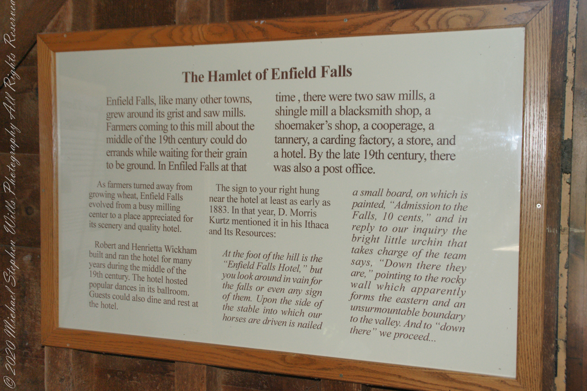
“Enfield Falls, like many other towns, grew around its grist and sawmills. Farmers coming to this mill about the middle of the 19th century could do errands while waiting for their grain to be ground. In Enfield Falls at that time, there were two sawmills, a shingle mill, cooperage, tannery, carding factory, store and hotel. By the late 19th century there was also a post office.”
“As farmers turned asway from growing wheat, Enfield Falls evolved from a busy milling center to a place appreciated for scenery and a quality hotel. Robert and Henrietta Wickham build and ran the hotel for many years during the middle of the 19th century. The hotel hosted popular dances in its ballroom. Guests could also dine and rest at the hotel.”
This placard from the Mill Museum at Treman Park is the source of much of today’s information. I used italics and quotes to attribute this source.
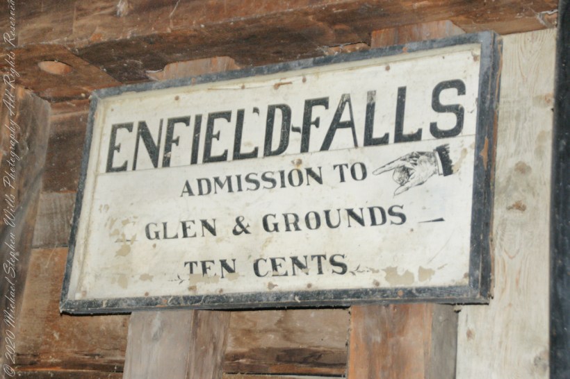
The sign in the heading of this post “hung near the hotel at least as early as 1883. In that year, D. Morris Kurtz mentioned it in his “Ithaca and Its Resources”: “At the foot of the hill is the Enfield Falls Hotel, but you look around in vain for the falls or even any sign of them. Upon the side of the stable into which our horses are driven is nailed a small board, on which is painted ‘Admission to the Falls, 10 cents.’ In reply to our inquiry the bright little urchin that takes charge of the team says, ‘Down there they are,’ pointing to the rocky wall which apparently forms the eastern and an unsurmountable boundary to the valley. And to ‘down there’ we proceed……“
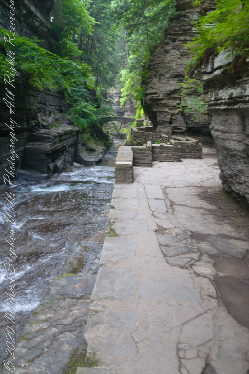
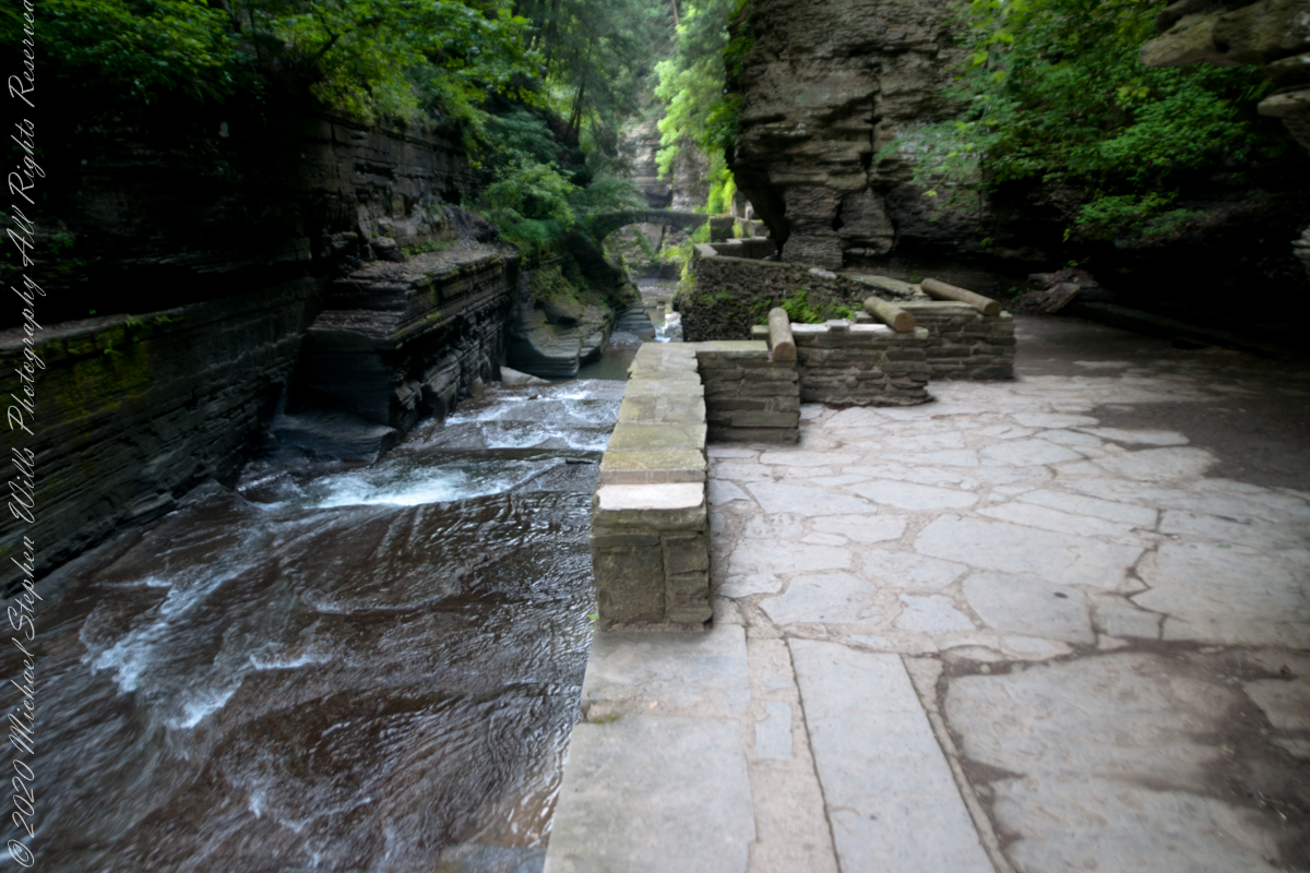
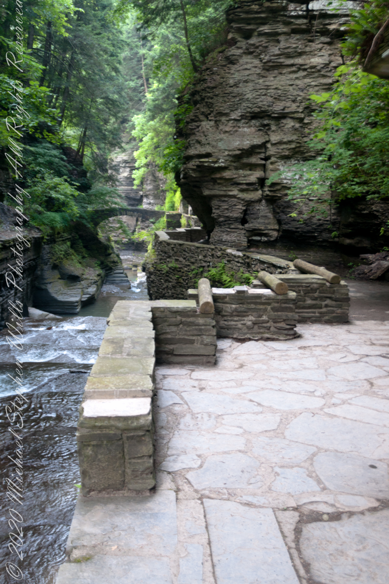
Treman Gorge Trail from the Old Mill enters a narrow gallery looking here southeast along Enfield Creek, passing over a stone footbridge. This was the control point in the 19th century for collecting the ten cent admission fee. Here are some photographs of the entrance as it exists today. The retaining wall, footpath and stone bridge were constructed in the 1930’s by the Civilian Conservation Corps. The site was far rougher for those earlier visitors.
The Gorge Trail next to Enfield Creek on a midsummer morning. Robert H. Treman State Park, Ithaca, Tompkins County, New YorkThis walkway, retaining wall, path, stone bridge were built by the Civilian Conservation Corps, “Roosevelt’s Tree Army,” during the Great Depression in the 1930’s. The north side is sedimentary rock worn through over the ages by what we call Enfield Creek today.
Photograph captured on a midsummer morning. Robert H. Treman State Park, Ithaca, Tompkins County, New York
Copyright 2023 All Rights Reserved Michael Stephen Wills
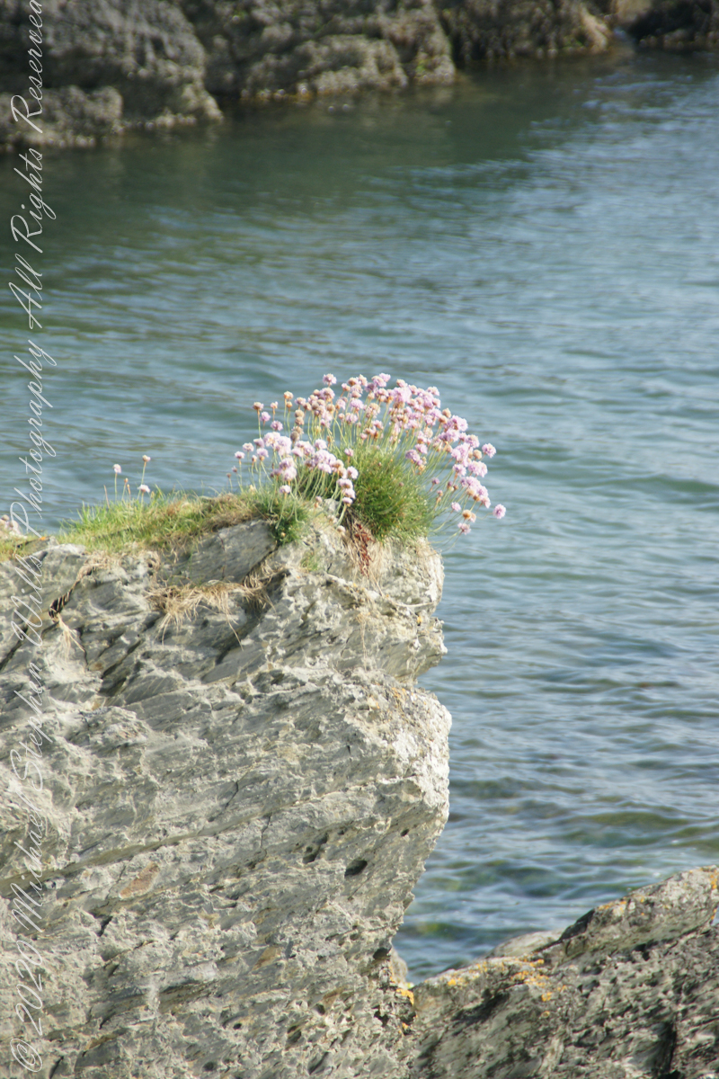
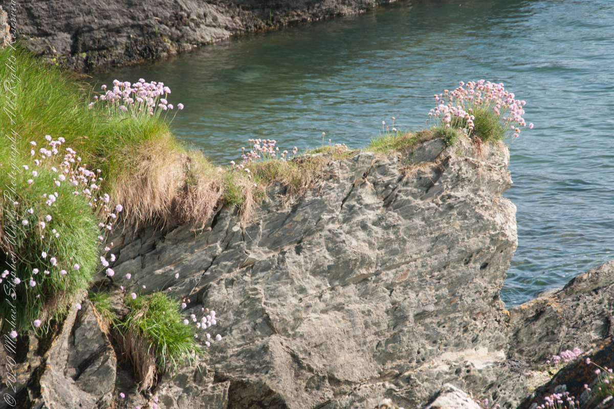
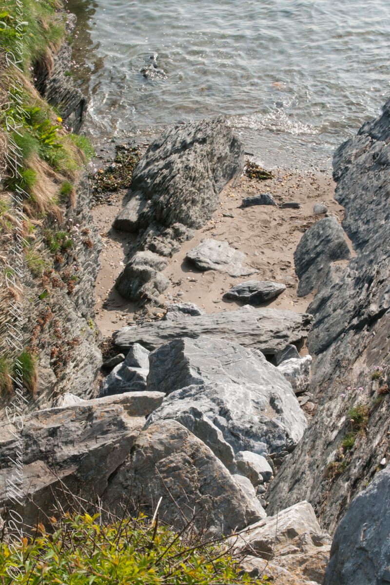
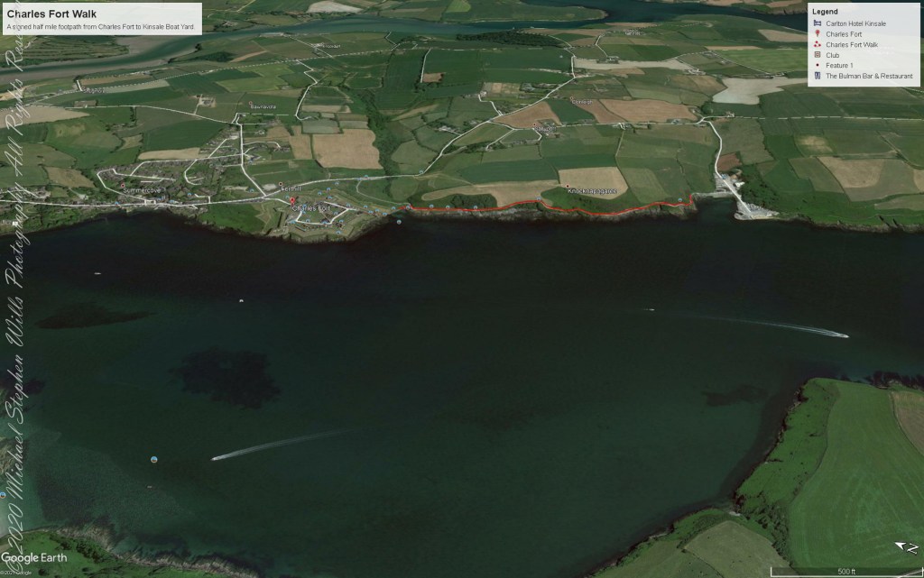
We continued down the half mile “Sallyport” footpath, marked in red on the Google Earth view provided at the end of this post, along shoreline cliffs to find these croppings of Sea Pink on jagged rocks.
Oddly, the jags being perfect places for Sea Pink to perch. Scientific name, Armeria maritima, and also known by Thrift or Sea Thrift, a reason these evergreen perennials are found on the obverse of the British Three Pence coin issued 1937 – 1952. Thrifty can mean to buy a lot for a little money — three pence is very little money.
Click any pic for a larger view, in a new tab, or a slide show. When using WordPress Reader, you need to open the post first.
Another sign informing hikers of the view.
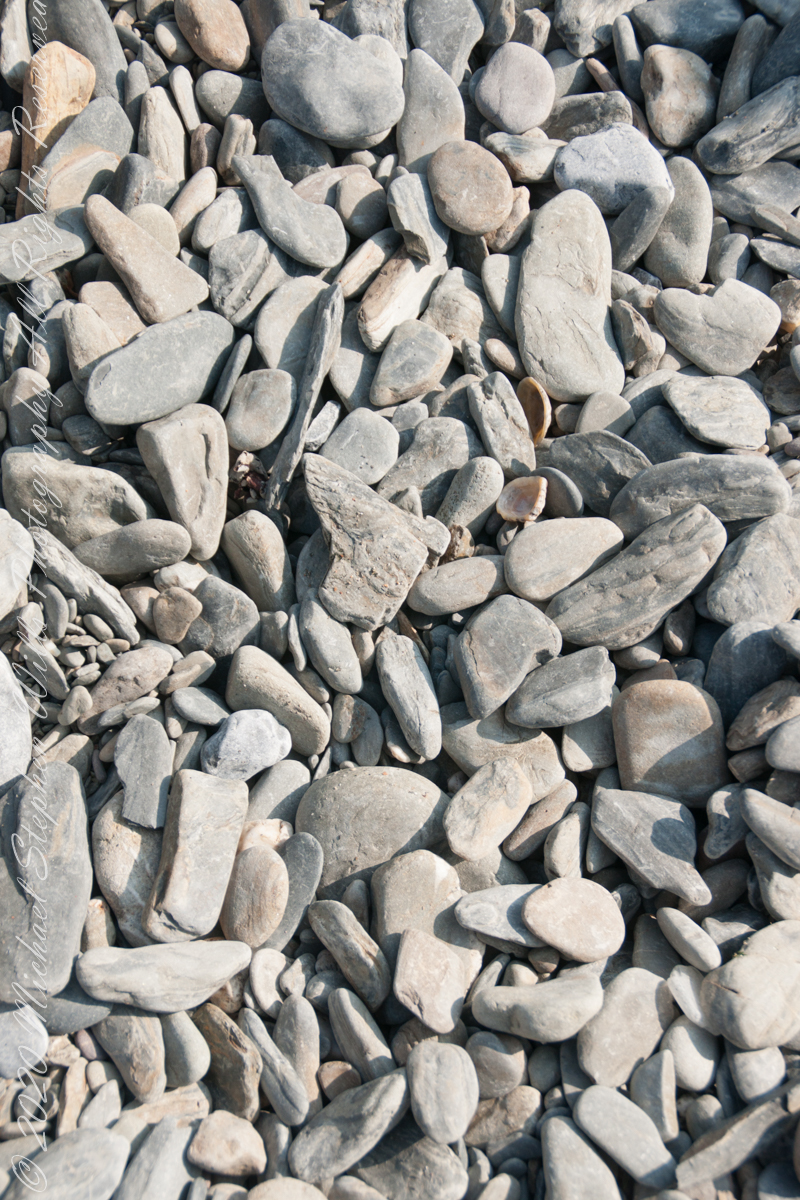
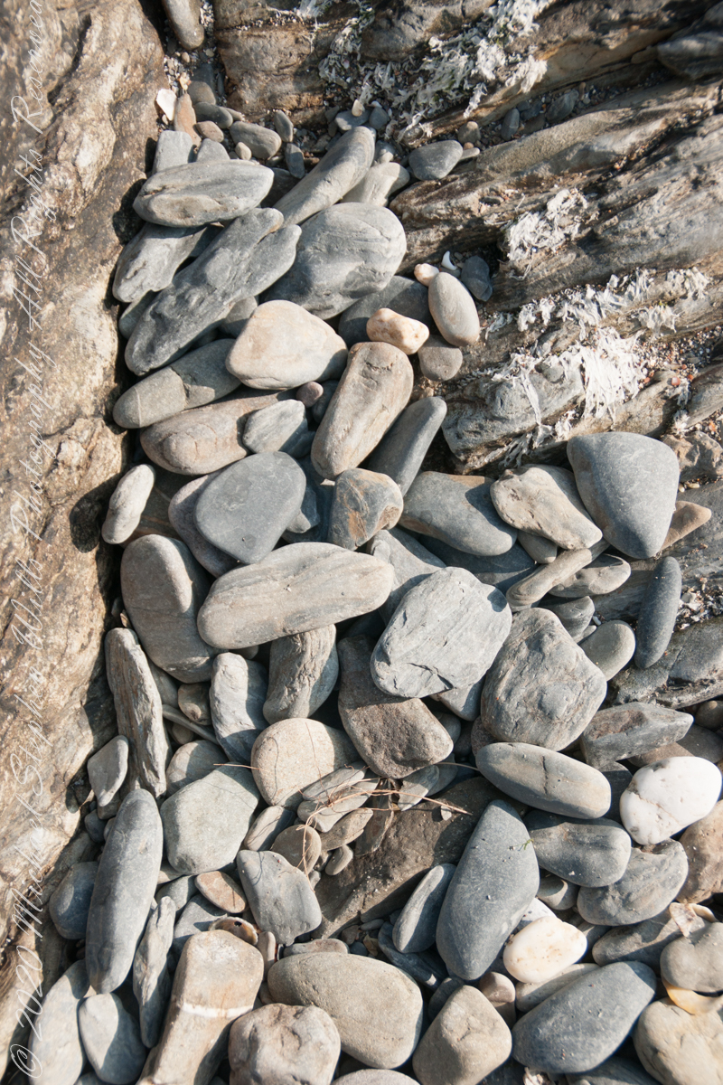
DeclivitySea SmoothedSmoothed over time by wave actionA half mile footpath, marked in red, leads from Charles fort along the shoreline cliffs, surmounted by working farmland.
Reference
“Armeria maritima” – wikipedia
Copyright 2023 Michael Stephen Wills All Rights Reserved