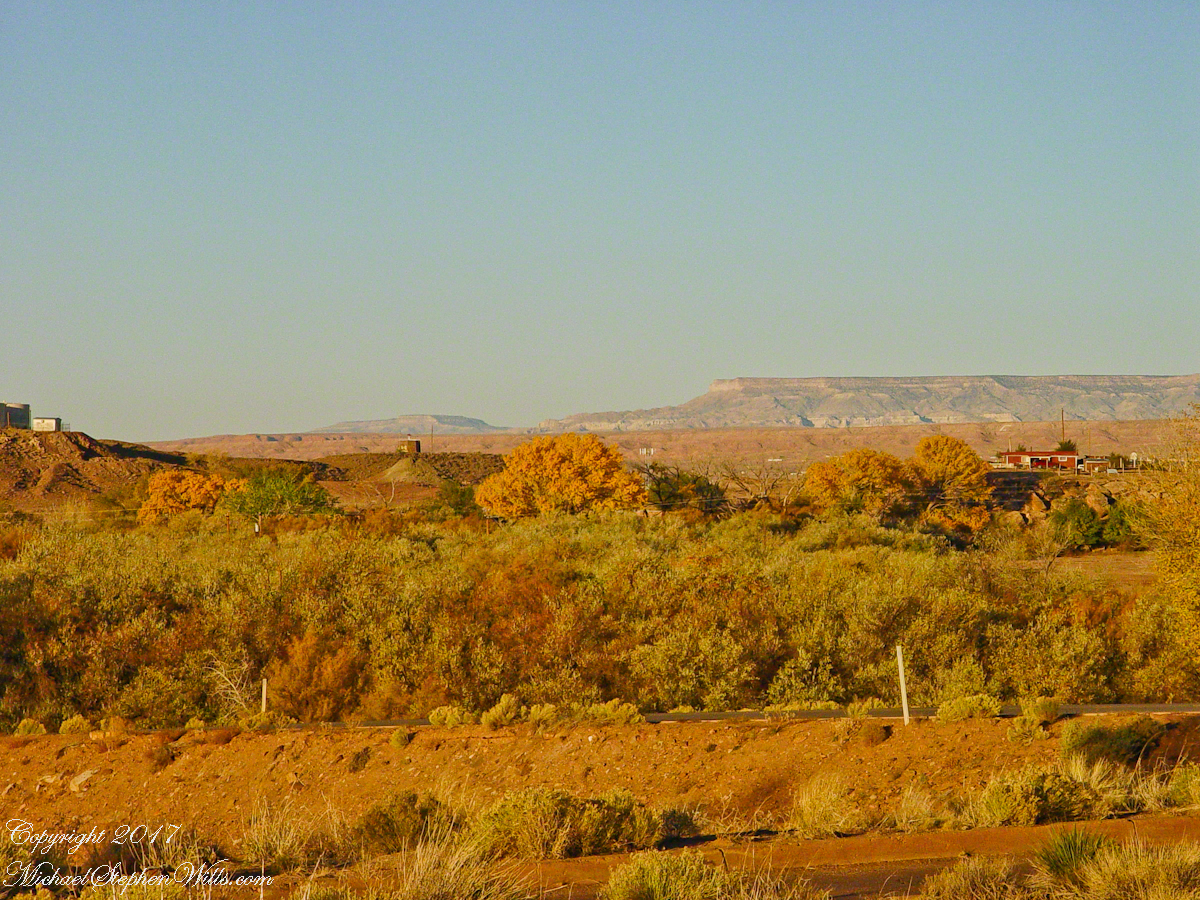
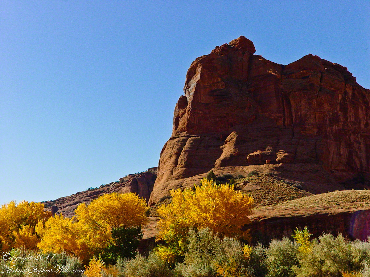
Looking southwest from the Canyon de Chelly visitor center toward the eastern escarpment of Black Mesa of the Hopis.
The village of Chinle is a “census designate place”, in other words it only exists because people live there, it was not formally recorded in “official” records. On the Navajo reservation, people lived here beyond recorded time. It is called in their language “flowing out”, where live giving water flows out from the canyons.
There is a fine Best Western in Chinle, better than most of that brand and the only choice for mile and miles and miles.
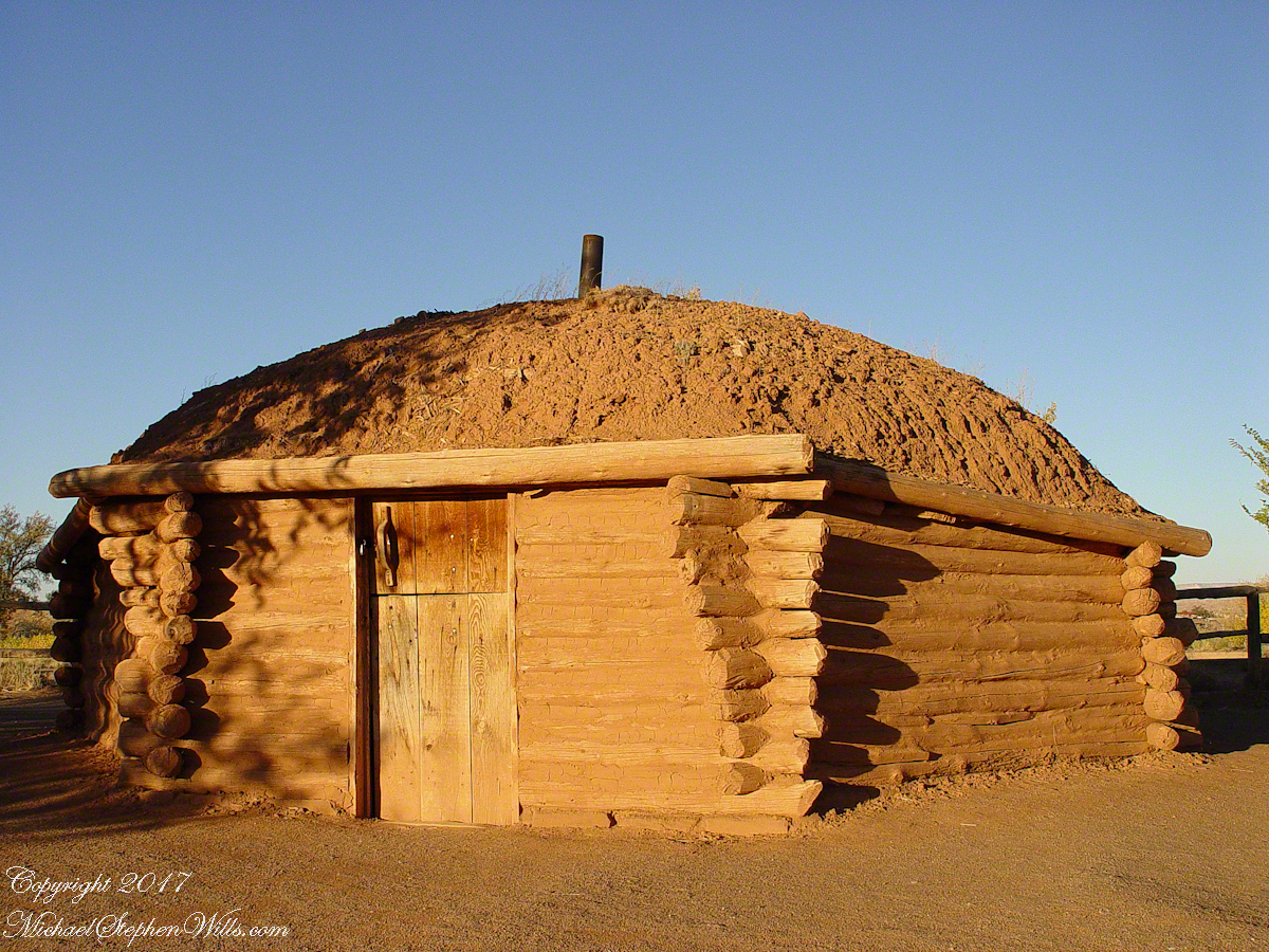
This is a cribbed log hogan. The domed earthen roof keeps the interior cool in hot weather and, along with a fire, warm in the winter. The Navajo hogan entrance faces east.
In Junction Ruin Musings, the previous post, a ruin from the Anasazi people was contemplated. Above is a traditional Navajo dwelling from a later, more secure, time.
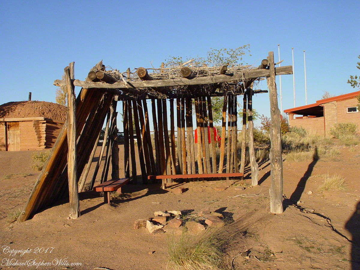
A good place to cook, read and sleep in hot weather. The entrance faces east and, for this one, the view was superb.
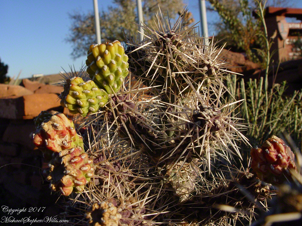
Ouch!! Everywhere in the southwest, watch where you tread.
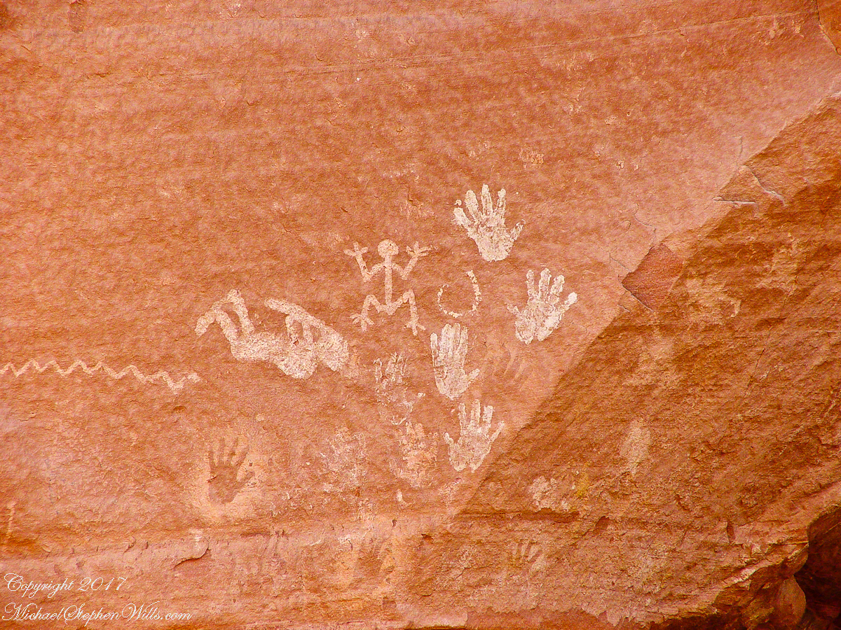
A Native American, seeing the flute playing Kokopelli, hears in the mind the sonorous melodies of their native flutes carried in as if on the wind. The hands waving in rhythm, “Here we are.”
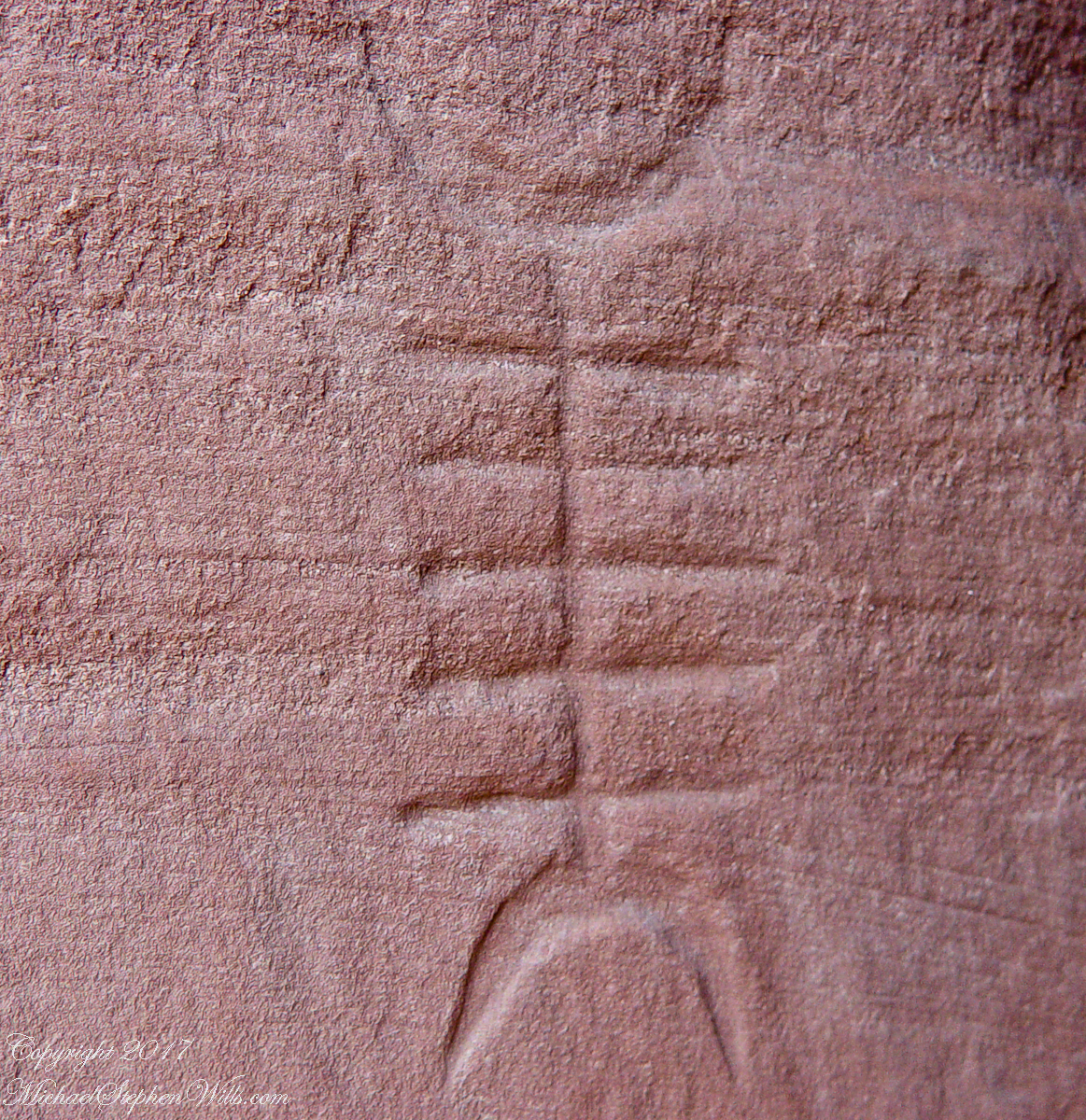
Canyon de Chelly symbol carved into red sandstone cliff representing a clan sign.
I recall our guide, Peter, describes this as a scorpion.
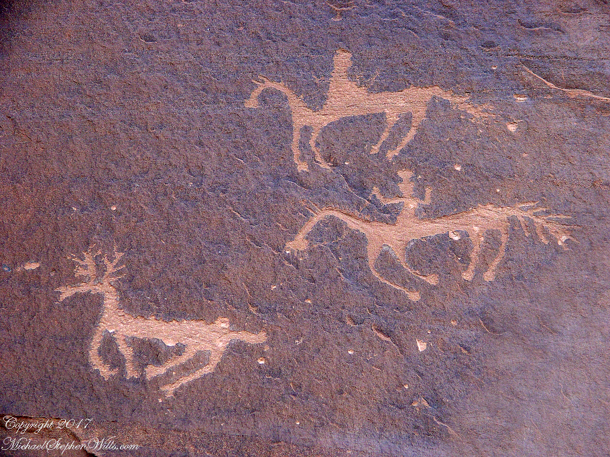
Canyon de Chelly petroglyph, desert varnish over red sandstone. Image is dated by representation of horses, brought by europeans.
The feeling of movement and the story invoked viewing this drawing etched carefully on the rock demonstrates we are in the presence of an accomplished artist. The story of the times for us to learn from.
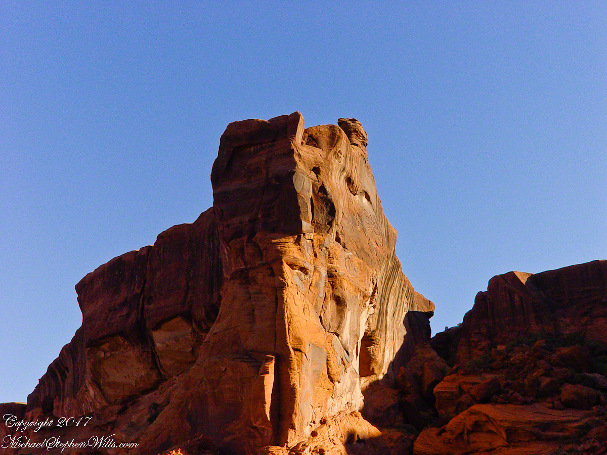
Red sandstone formation on ridgeline, north side of Canyon de Chelly is remember by the Navajo for the story of the Raven Woman.
A Navajo woman, fleeing Apache captors, flew over this cliff, or seemed to. Survival depended on knowing how to run over slickrock without stumbling and to know where and how to disappear into the rocks.
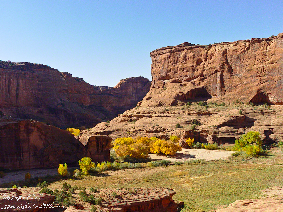
Canyon de Chelly below the first division into tow arms, the junction. This is looking south east. The cottonwoods are in autumn foliage.
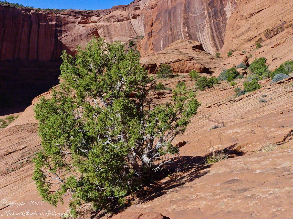
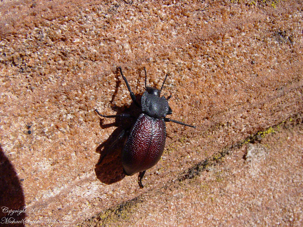
Cahyon de Chelly is is possible here to climb out of the canyon over these lower slopes over what is called slickrock. In the foreground is a juniper tree.Canyon de Chelly vista from a slickrock ledgeA two inch dung beetle crawls up sandstone slickrock, the origin of this stone apparent from the visible sand granules within an apparent clay matrix. The stone grain, described as cross bedded, suggests this was a former dune of wind blown sand composed of remnants of the Ancestral Rock Mountains.
A half mile footpath, marked in red on the following Google Earth view, leads from the Charles fort sallyport, along the shoreline cliffs, surmounted by working farmland and looks toward the Celtic Sea.
To “sally” is to suddenly charge out from a besieged place against the enemy. The word is also used as a noun. It can also be used to describe our walk, as a sally to an unusual place.
The town above the walk is named Sallyport
Here is a view of the Celtic Sea from the Sallyport
From Wikipedia: “The Celtic Sea receives its name from the Celtic heritage of the bounding lands to the north and east. The name was first proposed by E. W. L. Holt at a 1921 meeting in Dublin of fisheries experts from Great Britain, France, and Ireland. The northern portion of this sea was considered as part of Saint George’s Channel and the southern portion as an undifferentiated part of the “Southwest Approaches” to Great Britain. The desire for a common name came to be felt because of the common marine biology, geology and hydrology of the area. It was adopted in France before being common in the English-speaking countries; in 1957 Édouard Le Danois wrote, “the name Celtic Sea is hardly known even to oceanographers.”[3] It was adopted by marine biologists and oceanographers, and later by petroleum exploration firms. It is named in a 1963 British atlas.. A 1972 article states ‘what British maps call the Western Approaches, and what the oil industry calls the Celtic Sea […] certainly the residents on the western coast [of Great Britain] don’t refer to it as such.'”
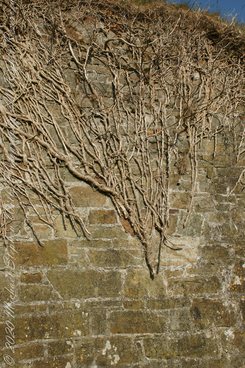
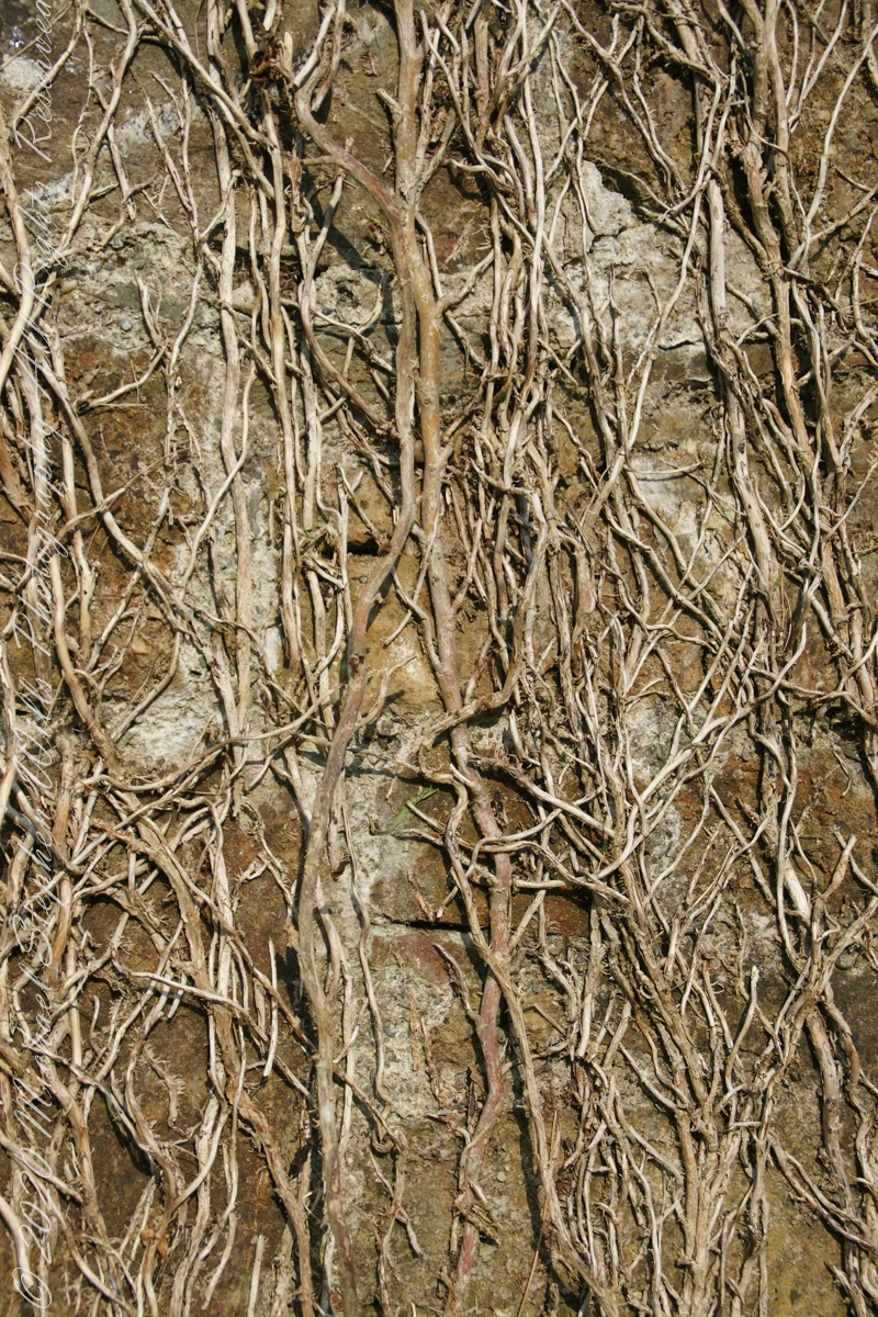
Views of the wall from previous photograph. The vines were separated from roots to preserve the walls, leaving interesting patterns.
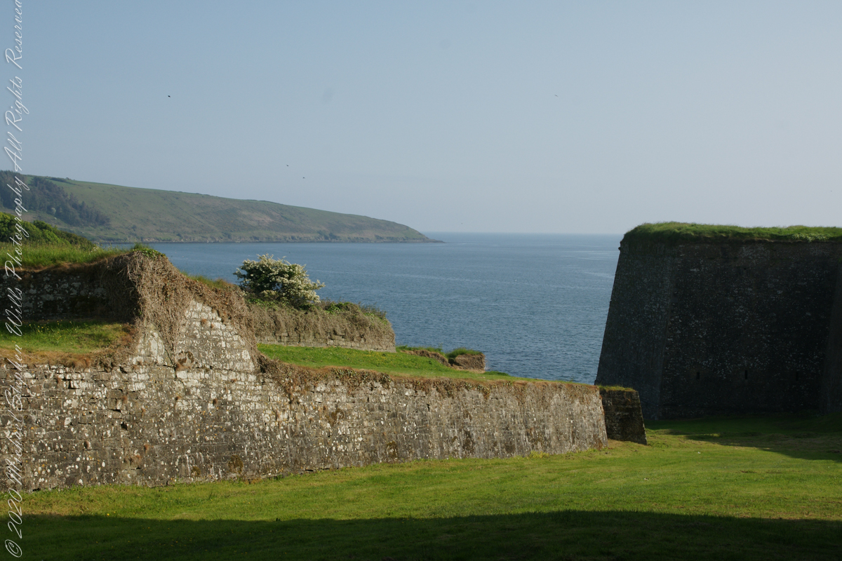
The distant land to the right, beyond the walls, is the Old Head of Kinsale.
Informational placards along the walk give background to the views enjoyed by hikers.
Here is the above view.
SONY DSC
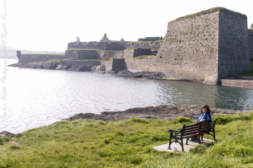
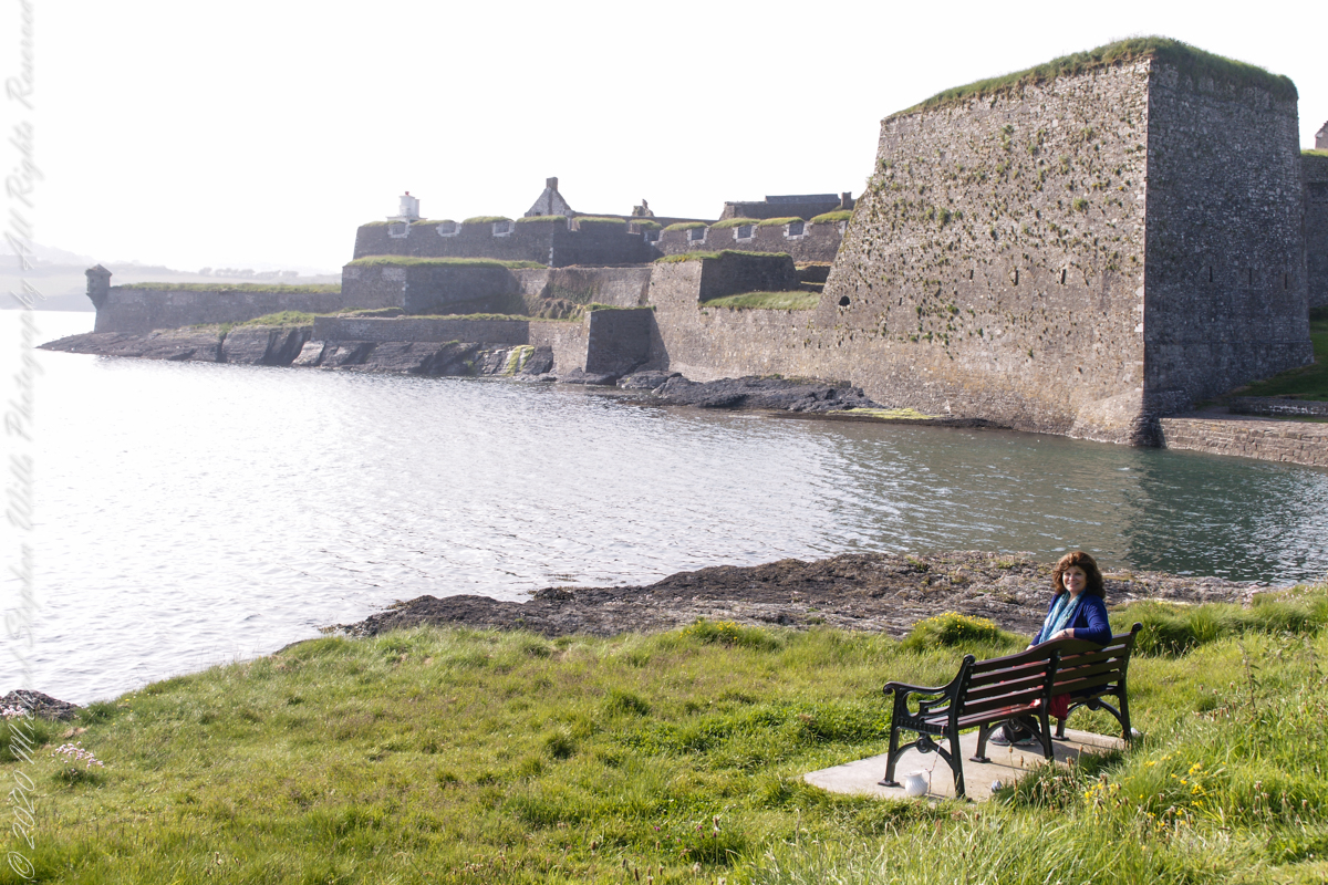
Pam, at start of our walk. Poking above the walls is the Charles Fort Lighthouse. “This lighthouse is a directional light marking the way to safe anchorage close to Kinsale. In 1665 King Charles II granted letters patent to Sir Robert Reading to erect six lighthouses on the coast of Ireland, including one at Barry Oge’s castle, near Kinsale later to become Charles Fort. The original structure would have had a coal fire on its roof. In 1810 powers given to the Commissioners for Barracks and others between 1767 and 1806 were all vested in the Corporation for Preserving and Improving the Port of Dublin or the Ballast Board. This board took over the general lighting and marking of the coast when fourteen lighthouses were transferred to it including that at Charles Fort. This lighthouse, built in 1929, is one of the more recent to be found along the coast, with most dating to the nineteenth century. A new mains powered light at Charles Fort Lighthouse was put into operation on the 14 April 2004 marking the end of a long era of gas and oil powered lights in Ireland.” Quote is from the link provided in references.
May 30, 2014 outside of Charles Fort, Kinsale, County Cork, Republic of Ireland
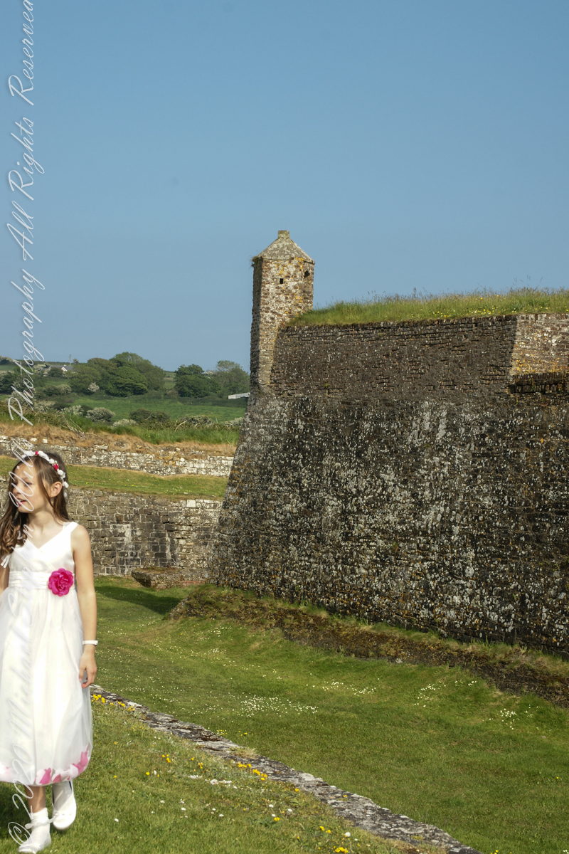
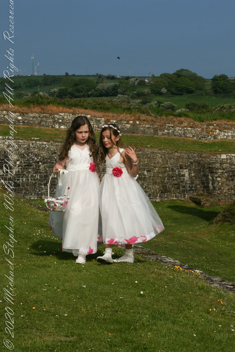
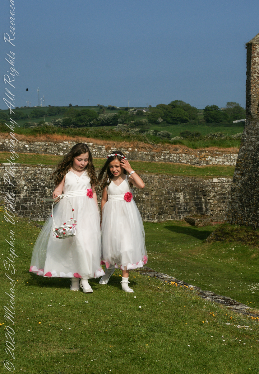
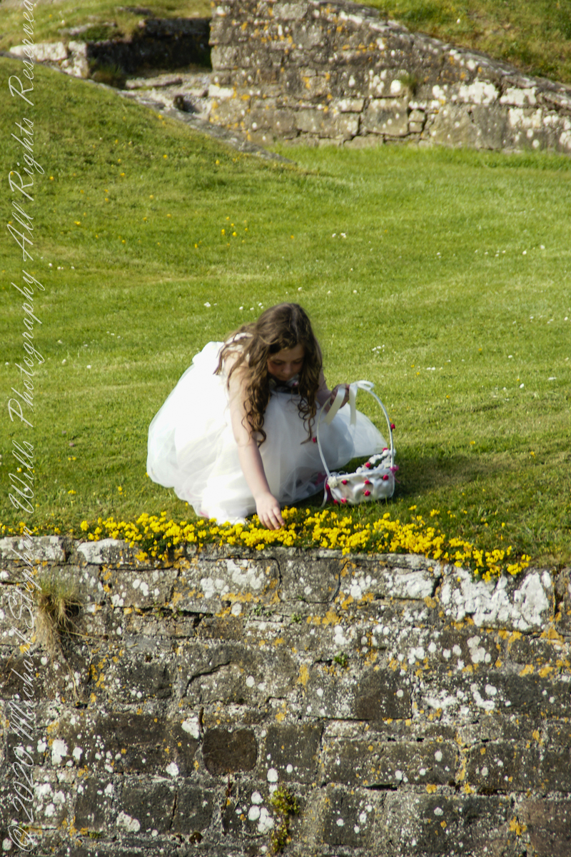
Arriving at Charles Fort, the “new” fort compared to the “old” James Fort across the cove, late in the day after our walking tour of Kinsale and lunch, the gate to the interior was closed. Pam and I made do with exploring the outer battlements where the citizens of Kinsale were enjoying themselves.
A shortcoming of Charles Fort was the high ground you can see behind the figures. The defenses are strong on the seaward side and open to attack from the land.
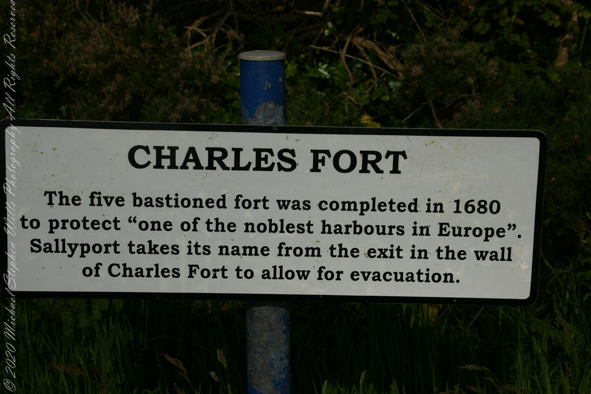
After exploring Kinsale town and lunch Pam and I drove two miles, along the east side of the cove, to the ruins of Charles Fort, one of a pair of fortifications protecting Kinsale from seaward attack. The “New Fort,” Charles, faces the “Old Fort”, James, across the cove.
Built in the 17th century on the site of an older fortification, Ringcurran Castle, it is named for Charles II, the English monarch of the time. The fort was burned during by retreating anti-treaty forces in 1922 during the Irish Civil war. It lay derelict until today’s 1971 until now restoration.
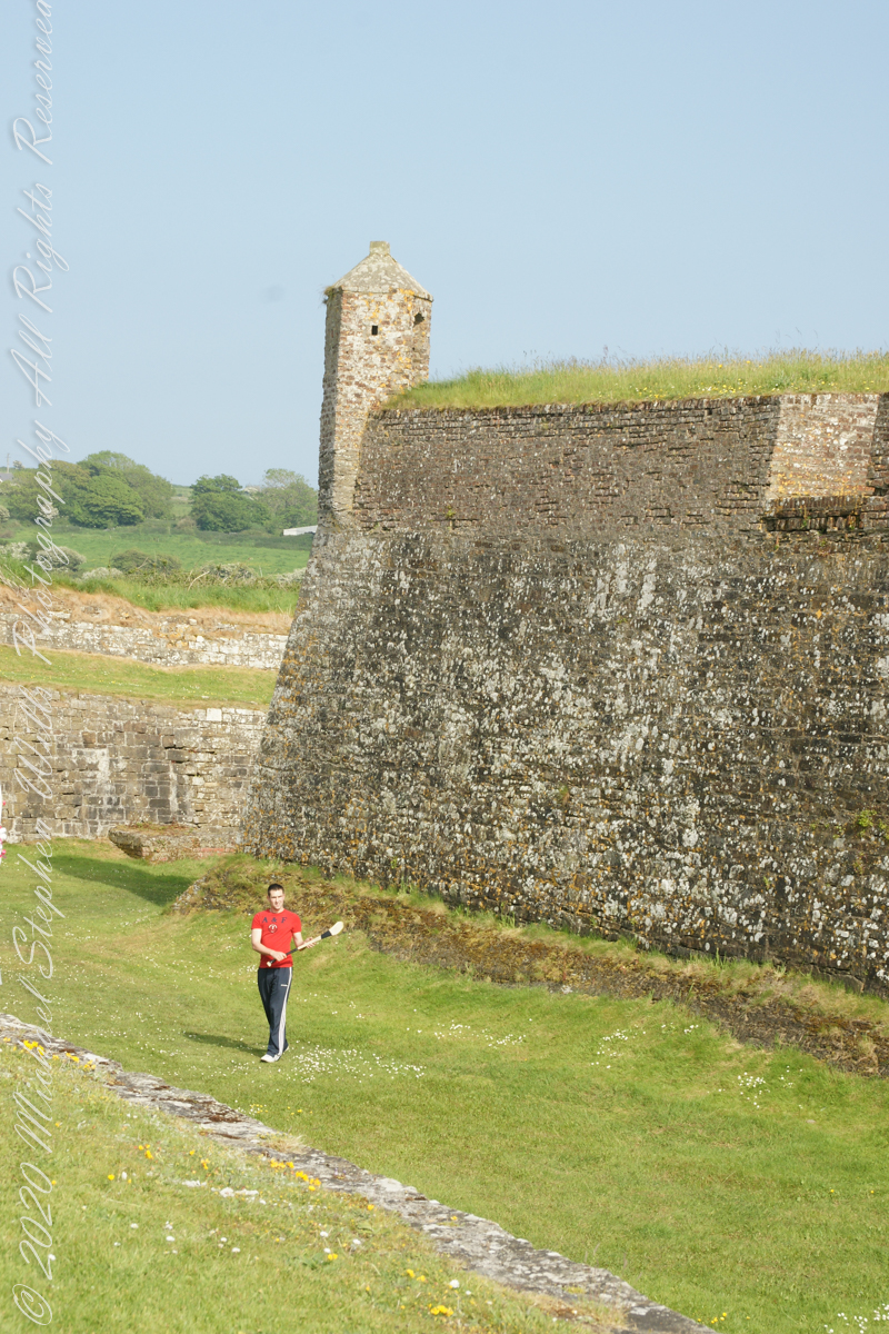
Upon our arrival this young man was handling a hurley and sliotar beneath the fort wall, an incarnation of Cúchulainn playing hurling at Emain Macha. From Wikipedia, “Hurling is older than the recorded history of Ireland. It is thought to predate Christianity, having come to Ireland with the Celts. The earliest written references to the sport in Brehon law date from the fifth century. Seamus King’s book A History of Hurling references oral history going back as far as 1200 BCE of the game being played in Tara, County Meath. The tale of the Táin Bó Cuailgne (drawing on earlier legends) describes the hero Cúchulainn playing hurling at Emain Macha.”
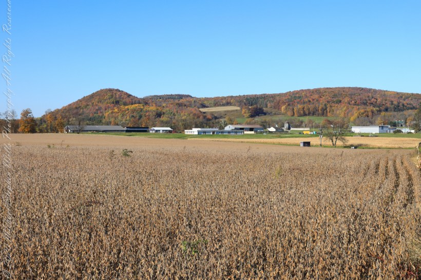
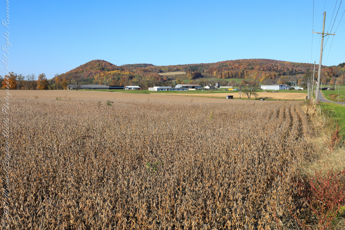
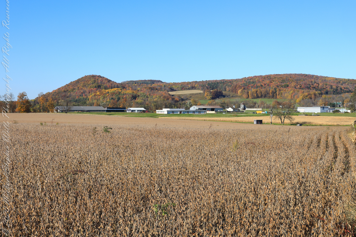
A diorama of the Museum of Natural History, New York City, features this north view, first viewed as a young teen on a school field trip — the duplicated sight was imprinted on my memory. Over the years I passed this spot repeatedly for trips to Long Island for family Thanksgiving celebrations. October 22nd, 2022, the field was planted with soybeans ready to harvest. The rounded hill, a drumlin, finishing the left side of the ridge, is the “star” of this photograph and the diorama.
A drumlin, from the Irish word droimnín (“littlest ridge”), first recorded in 1833, is an elongated hill in the shape of an inverted spoon or half-buried egg formed by glacial ice acting on underlying unconsolidated till or ground moraine.
Same exposure cropped to remove road and poles to perfect the image.
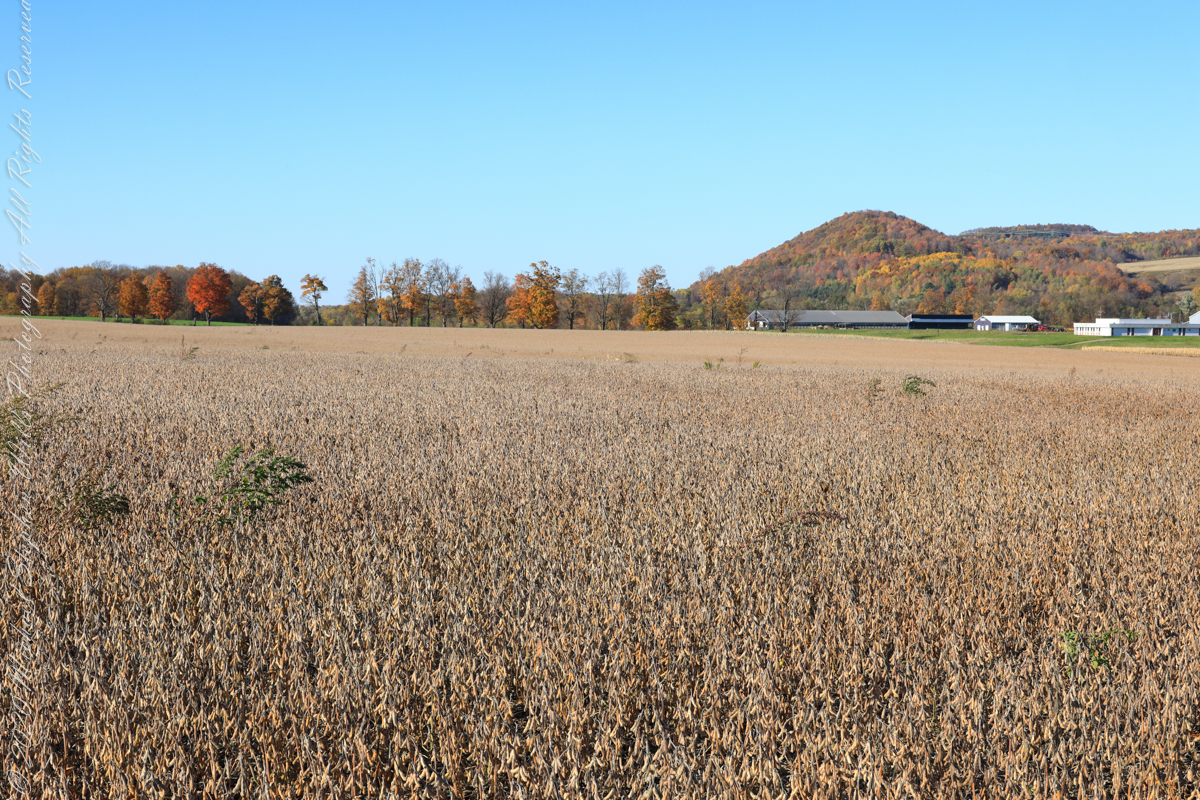
I am not sure the north/northwest view is an improvement, as seen in the following photograph.
Copyright 2022 Michael Stephen Wills All Rights Reserved
For this series I travelled a short distance south from where Palmer Road intersects with Virgil Road, crossing the border from Tompkins to Cortland County, closer to Carpenter Hill.
In the 19th Century driven wells (also called tube wells) were an innovation developed in Cortland County under the command of a Civil War era Colonel Nelson W. Green who sought for twenty-two years to impose royalties on use of driven wells. I.H. Palmer assisted John W. Sugget, both of Cortland County, in a seminal patent law case they won in U.S. Supreme Court seeking the release from royalty payments from thousands of driven well installations throughout the Eastern and Midwestern United States. Their successful argument was for two years before any patent application, in Cortland County, driven wells were in use. I cannot say Palmer Road has a connection to I.H. Palmer, though it is an interesting historical aside.
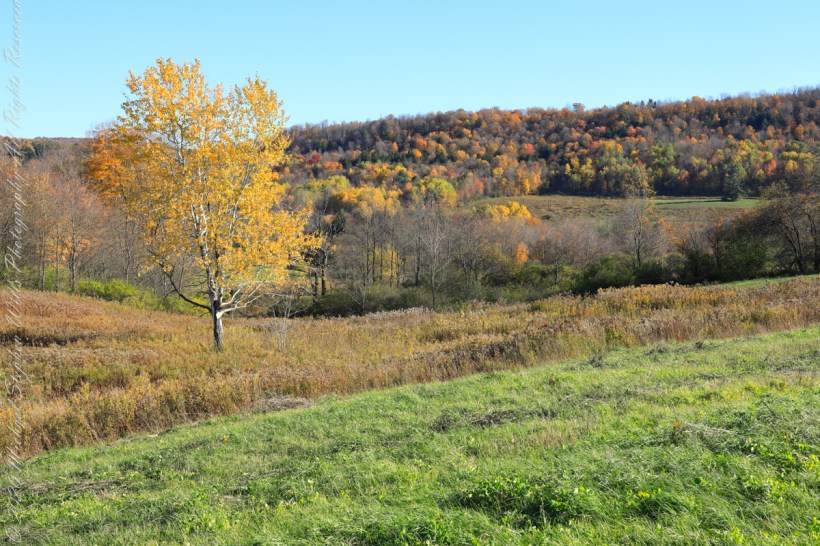
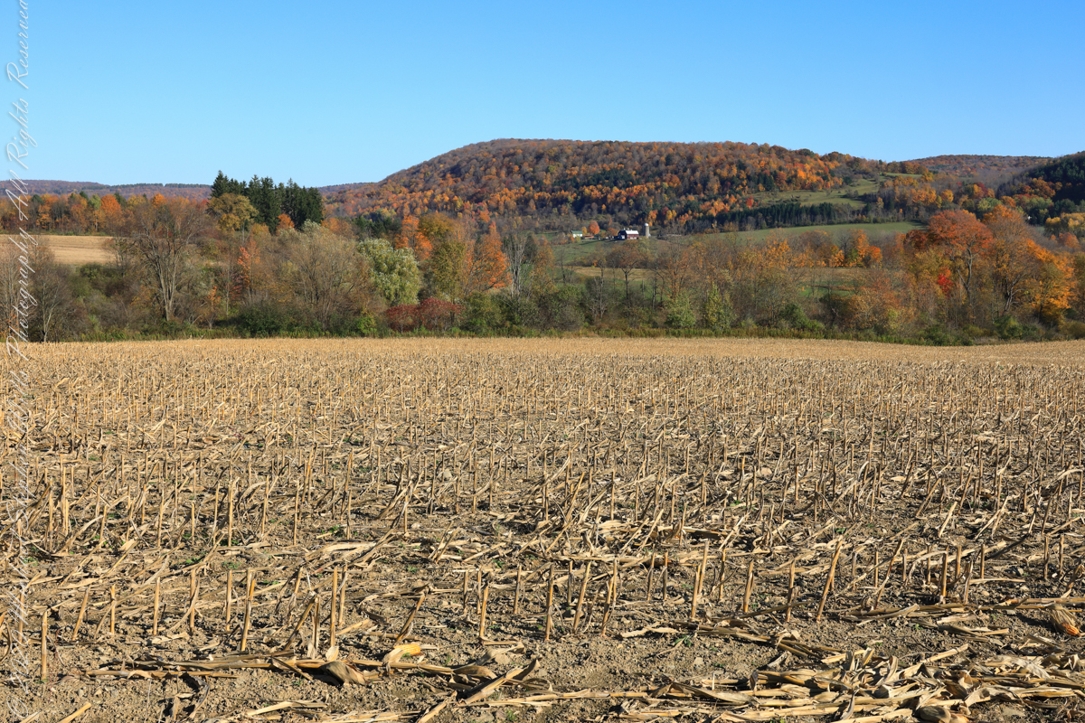
View east from Palmer Road across corn stubble. A feeder stream to Virgil Creek is marked by the nearest line of trees, beyond the land rises over the shoulder of Owego Hill.
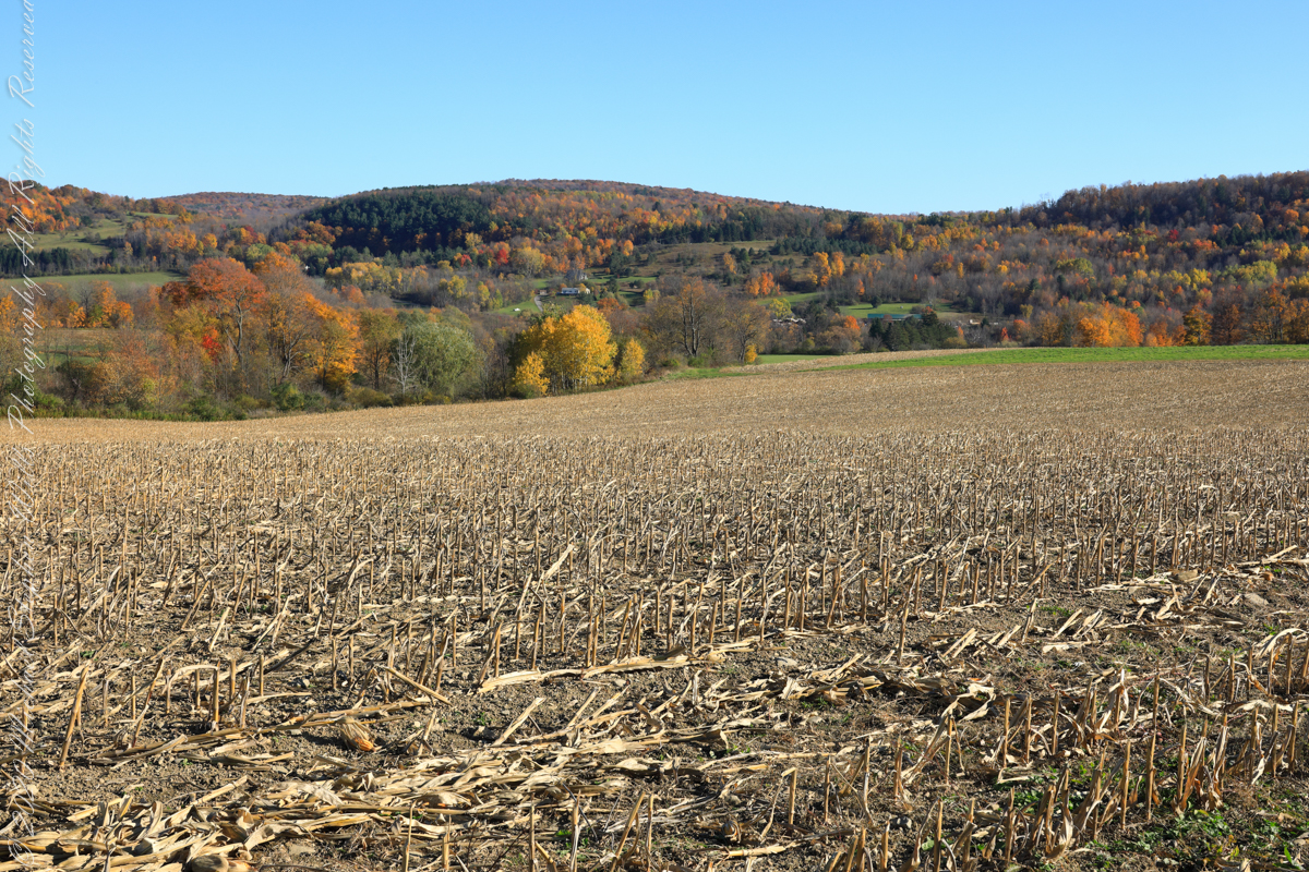
View east/southeast from Palmer Road across corn stubble. A feeder stream to Virgil Creek flows through the first tree line on left with the creek itself in the far trees, center at the foot of Carpenter Hill. The green field at edge of corn stubble is the fallow field of the next photograph.
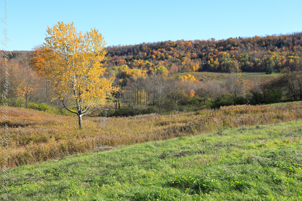
View east/southeast from the east edge of a fallow field along Palmer Road. Looking across Virgil Creek to the slope of Carpenter Hill. Cortland County, New York.
Copyright 2022 Michael Stephen Wills All Rights Reserved
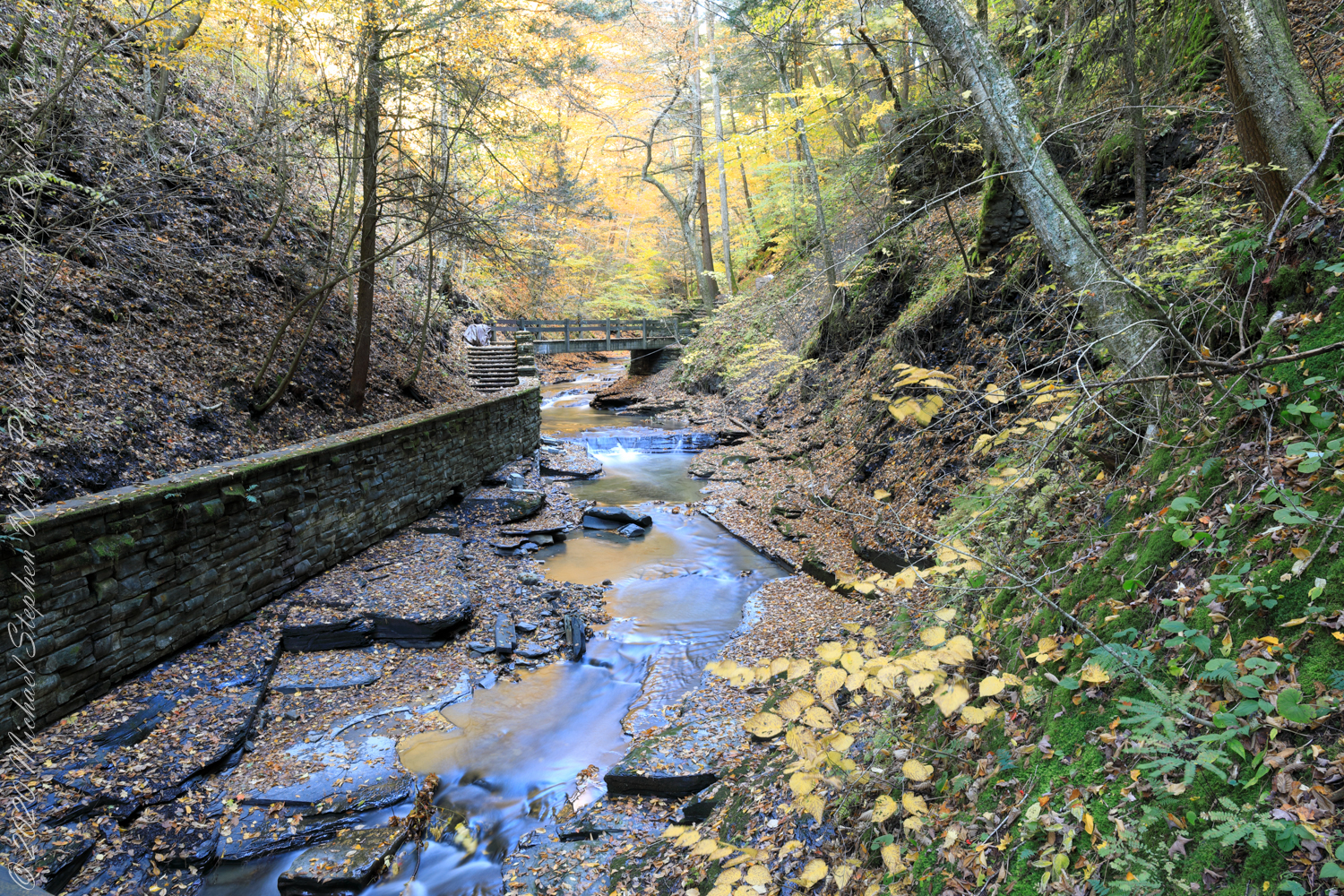
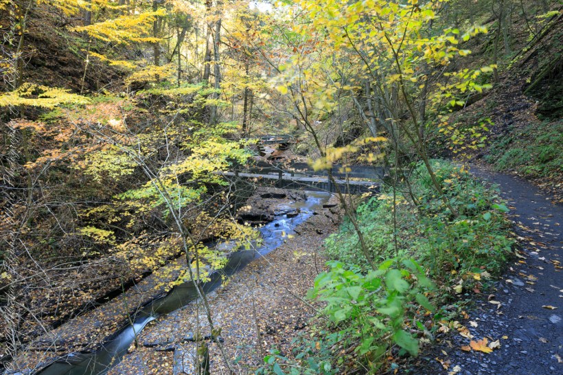
The United States Civil Conservation Corps (CCC) Camp number SP 33, inaugurated May 1, 1934, Marathon New York, worked four years (1934-1938) to improve Fillmore Glen State Park.
Bridges Five (5) and Six (6)…..
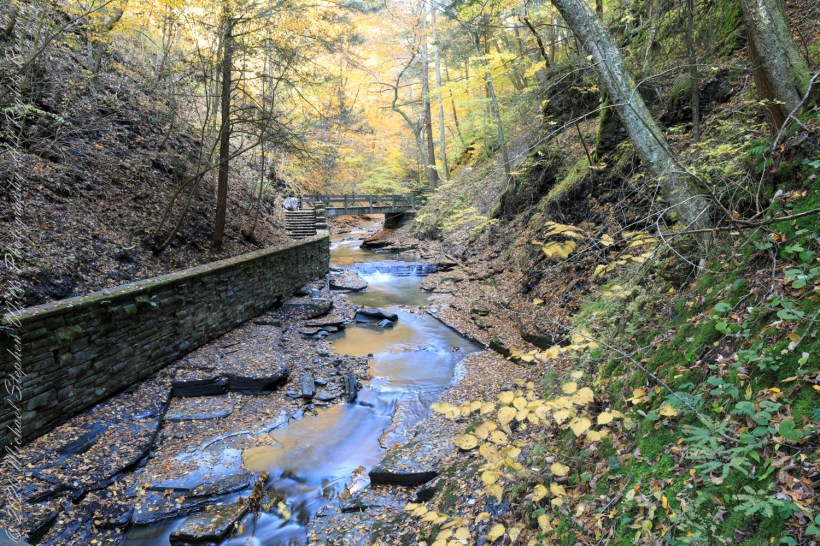
We can see the work to maintain the CCC work continues today by the New York State Office of Parks, Recreation and Historic Preservation. Look closely to see the cable flowing from the south gorge rim (to right) by which the limestone, out of sight along the gallery, was lowered for this project. There are building supplies at Bridge Five and Six, both left in these photographs.
…the gallery and Bridge Six (6)…..
Fillmore Glen, Cayuga County, Moravia. In the Finger Lakes Region of New York State
Copyright 2022 All Right Reserved Michael Stephen Wills
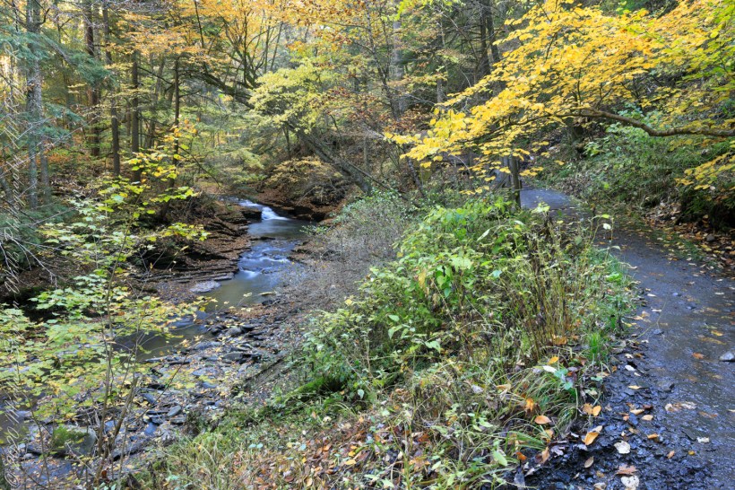
A faint organic whiff of Paleozoic Era generations follows hikers enjoying the Gorge Trail, an odor luring contemporary treasure seekers thankfully spurned by the December 2014 New York State fracking ban. Thanks to Governor Andrew Cuomo’s leadership, the ban protects public health, drinking water, the environment, local economies based on agriculture, tourism and small businesses. The ban on fracking sets the New York State apart for its climate leadership by leaving fossil fuels in the ground while the state simultaneously leads the nation in expanding renewable energy.
A plentitude of waterfalls…..
…bridge number 5…..
Fillmore Glen, Cayuga County, Moravia. In the Finger Lakes Region of New York State
Copyright 2022 All Right Reserved Michael Stephen Wills
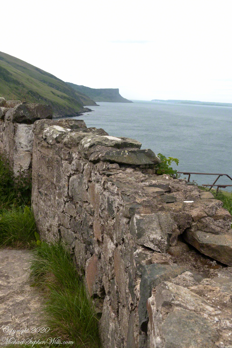
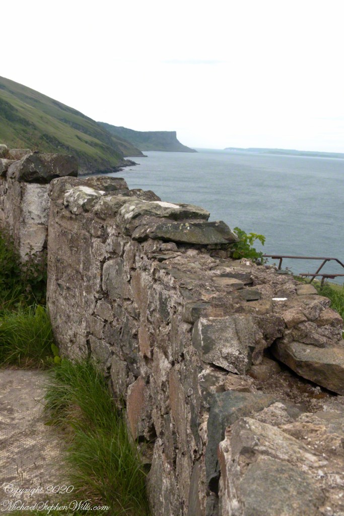
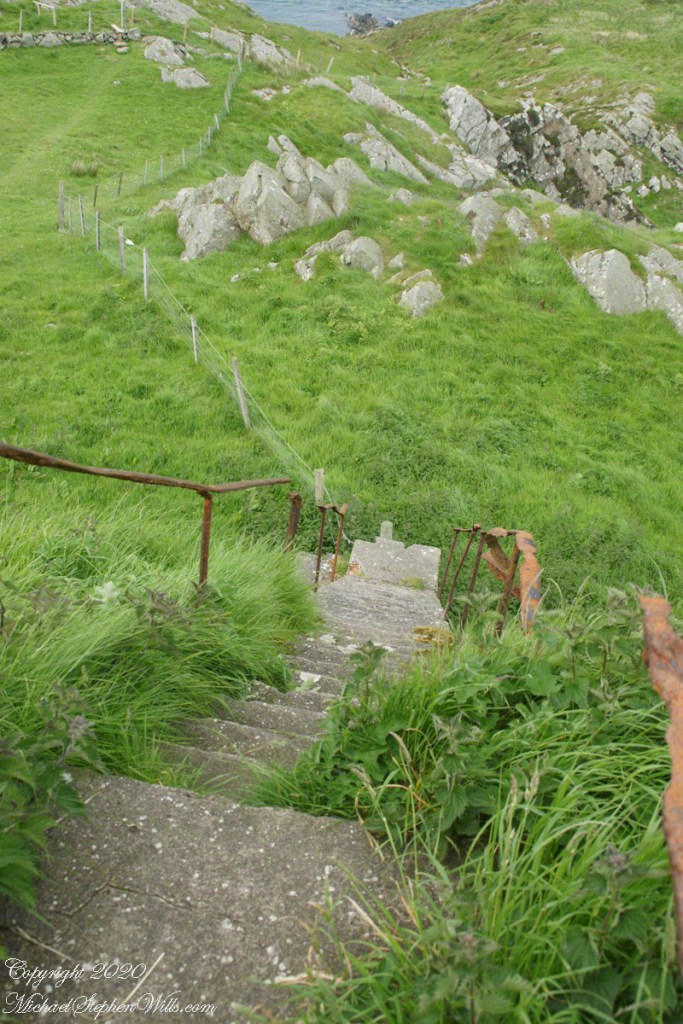
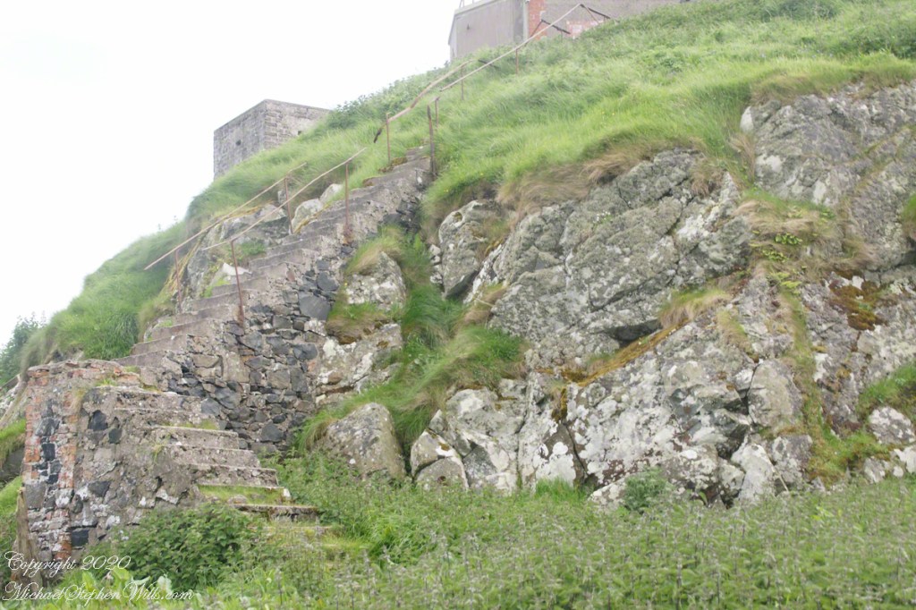
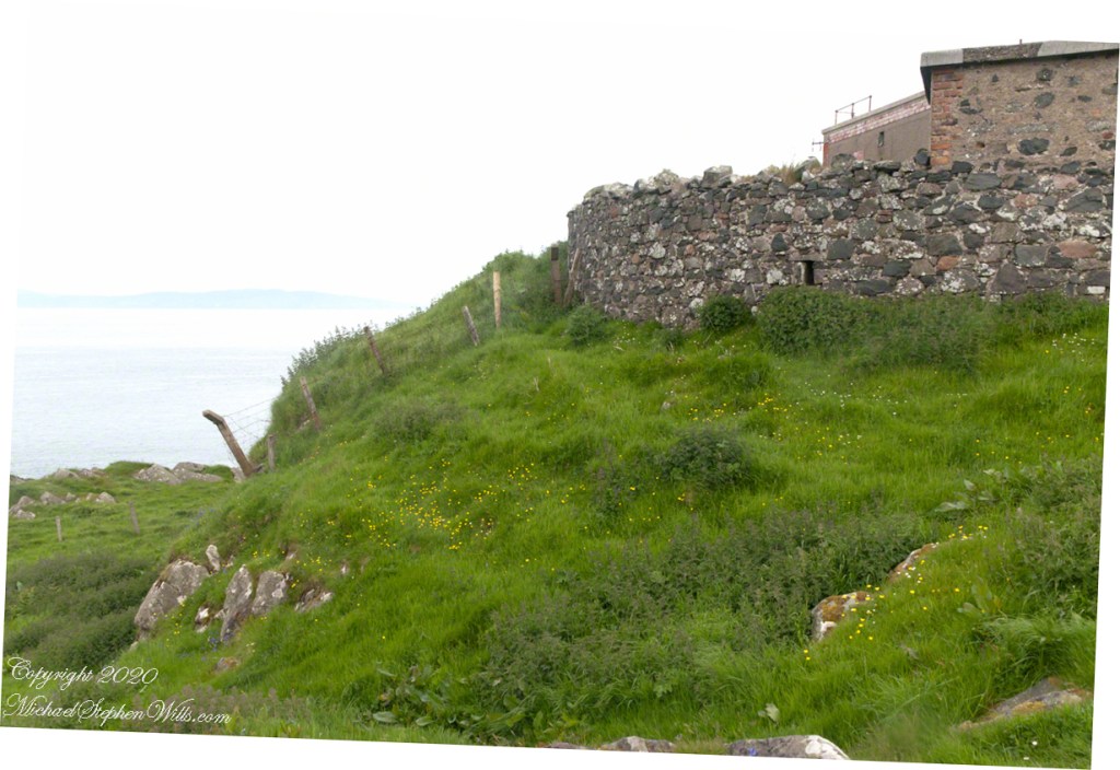
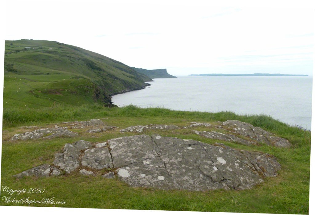
Weathered masonry at the height of Torr Head was there to serve the custom house and as support for a spotting station where ships transiting the Strait of Moyle (Irish Sruth na Maoile), the 12 miles of water to the Mull of Kintyre.
Lloyd’s of London, vitally interested in the appearance of ships’ progress crossing the oceans, had notice of passage via semaphore (and, later, Marconi’s “wireless”). Destination ports were copied in.
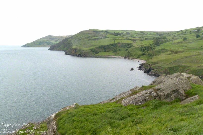
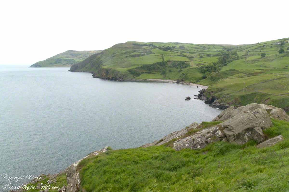
Scottish influences touched the landscape covered by yesterday’s post, today we continue on this subject with these south facing views from Torr Head. The far ridge of Torrcor marks Loughan Bay.
A townland on the other side of Torrcor hill (and townland) has an eponymous ruin, Altagore Cashel. Mores the pity we did not visit this site, a thick drystone enclosing wall from the 5th century (you can see photographs from another site at this link). Cashel is from the Irish Caiseal, a circular, defensive fort (“ring fort”).
Books such as “Antrim and Argyll: Some Aspects of the Connections” tell of connections over the millennia, clan associations between the islands and ring forts such as Altagore Cashel.
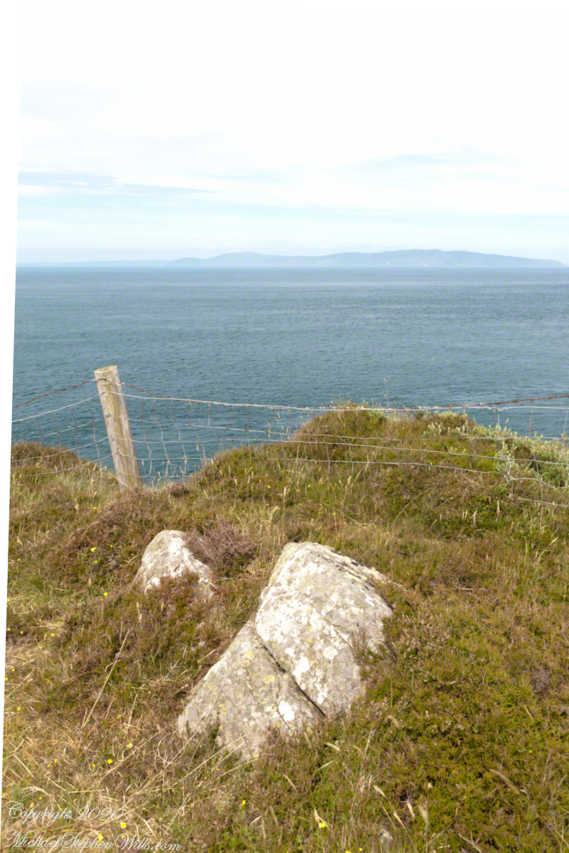
Argylshire Scotland across the North Channel from Torr Head