


Ice Crystals

A tripod and Neutral Density filter
Winter 2020 I posted “Winter People Watching” featuring the Sony F828 and candid street photography.
What I love about this place, a unique feature, is the size and different vantage points making it possible to view the same place from different angles. November 2019, readers were shown “The Bend,” a place with Taughannock gorge makes a 90 degree turn, changing from a southeastern to an eastern flow. Here are photographs from spot overlooked by that post.
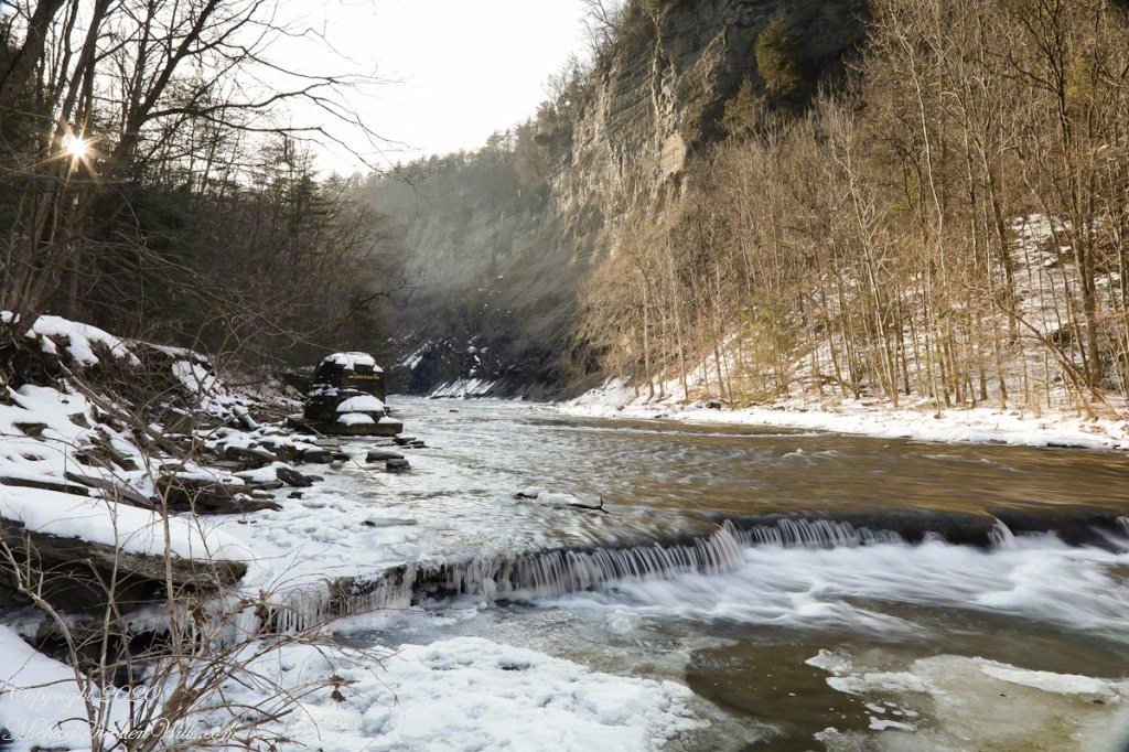
Here the camera faces away from the sun, the graduated neutral density filter allowing me to capture the cloudless blue sky, a little milky the way it is here February with a hint of spring.

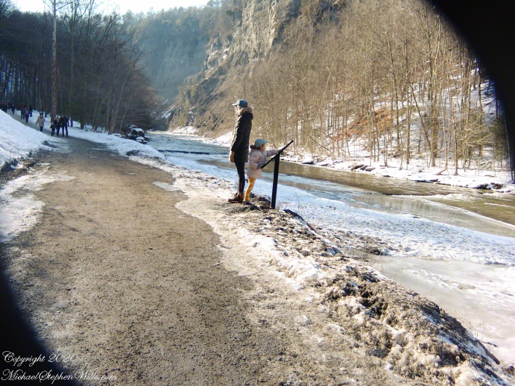
This little one is studying the information placard with rapt attention, learning how the African continent, pushing against North America, across the eaons, formed the right angle fractures mirrored by this dramatic change in Taughannock Gorge. For the Big Bend photographs I was standing behind them, along the stream bed.
Here is a broader slice of that sky.

Can you see the tiny figures of hikers, dwarfed by the frozen cliff?


…and Gorge Cliffs
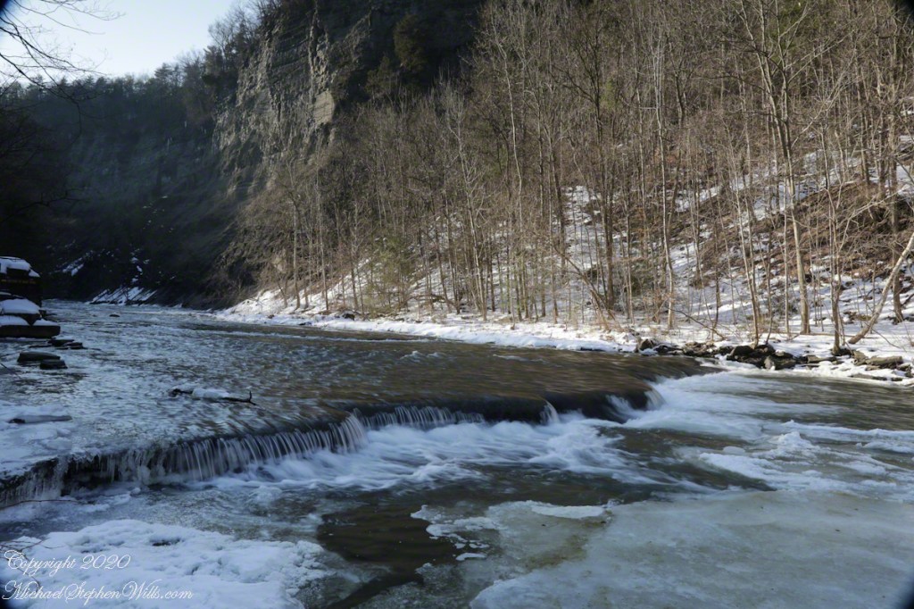
Purling of the water beneath this foot high waterfall was enhanced by reducing ISO to 100, tamping down the aperture to f/22 resulting in an shutter speed of 1/10th second. I set the graduated Neutral Density filter to shade the left side.
On the cliffs ahead is where the observation platform is cut into the rock. It has a great view of the waterfall, in some ways the experience of the falls is enhanced, compared to hiking the 3/4 mile path and standing below.
A marvelous forest grows on talus from the high gorge walls.

A sign on a disused pier warns waders to leave the creek bed. Ahead the gorge walls tower above the creek. Rocks dislodge and crash down unexpectedly, crushing foolish waders. It is appalling to see, in warmer months, people walking below those cliffs gathering the fallen rocks to make delicately balanced cairns.
Meadow Idyll
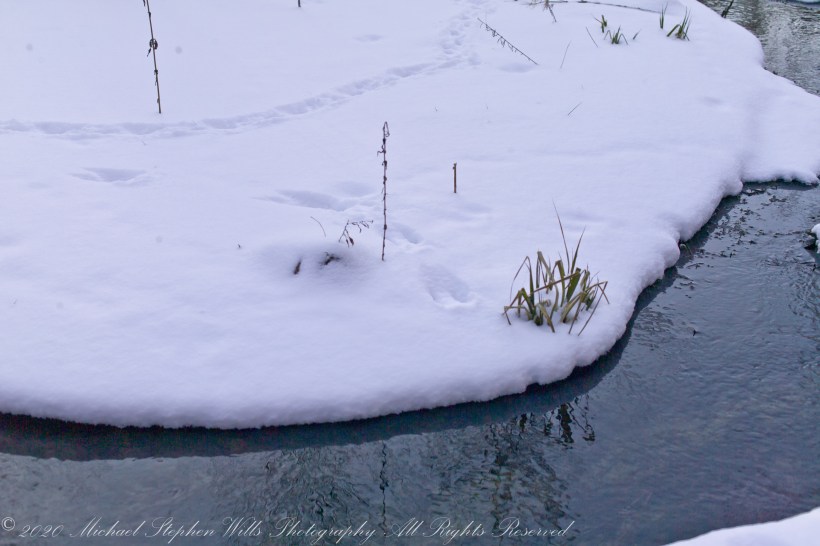
Snow under the gathering light of February, edges rounded by sunlight. Can you identify the animal tracks?

All were from a tripod mounted Kodak DSC pro SLR-C with the Canon lens EF 50mm f/1.4 USM

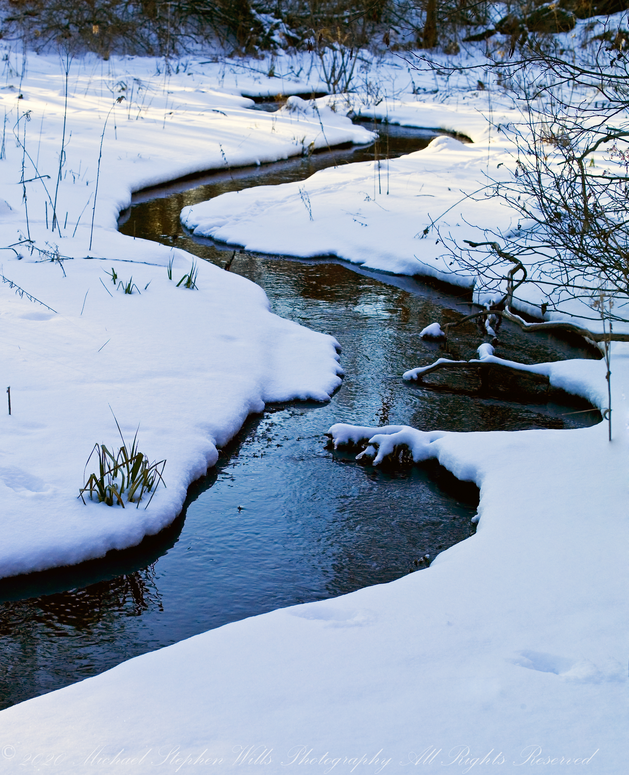
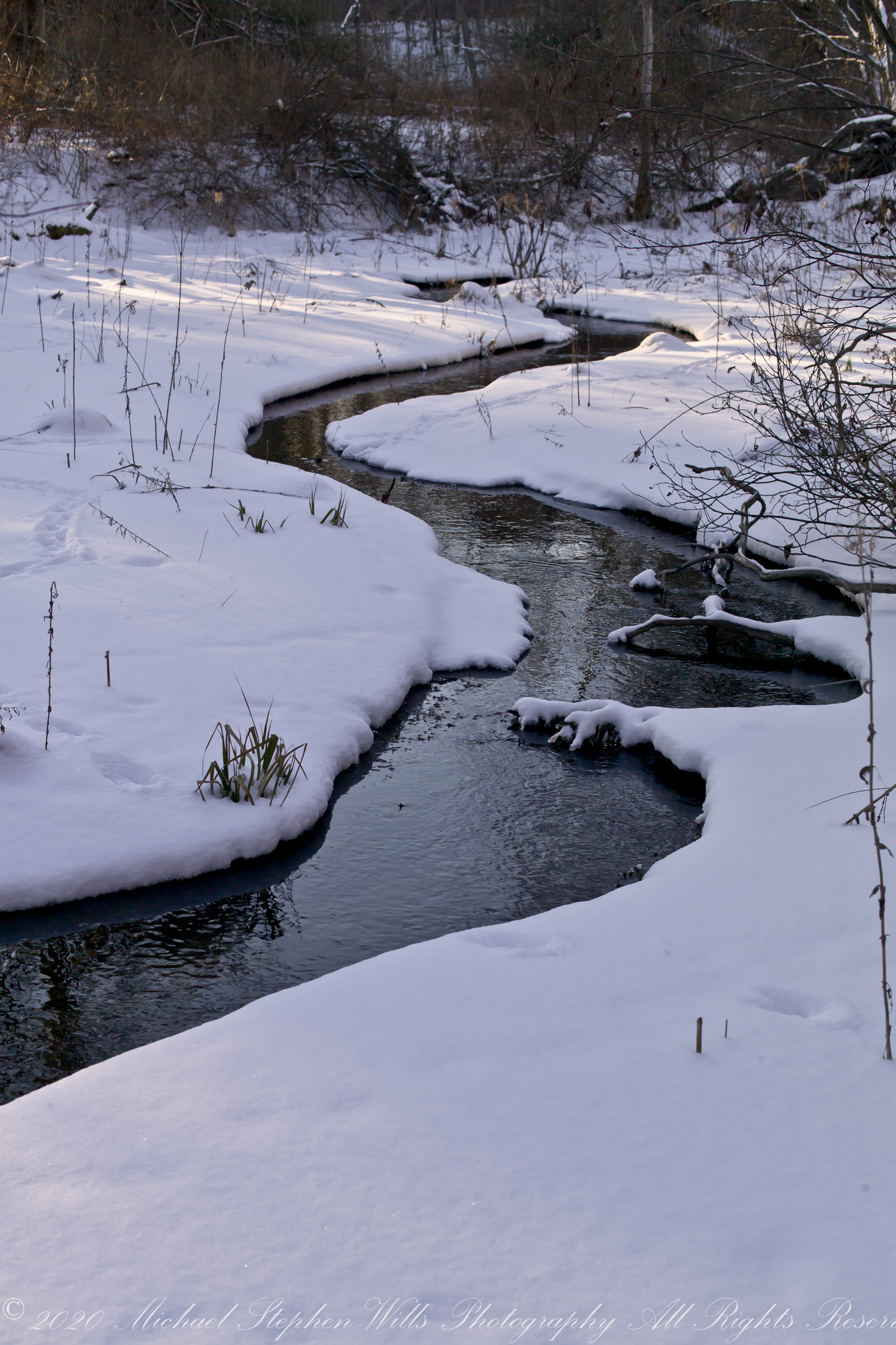
Meadow Idyll
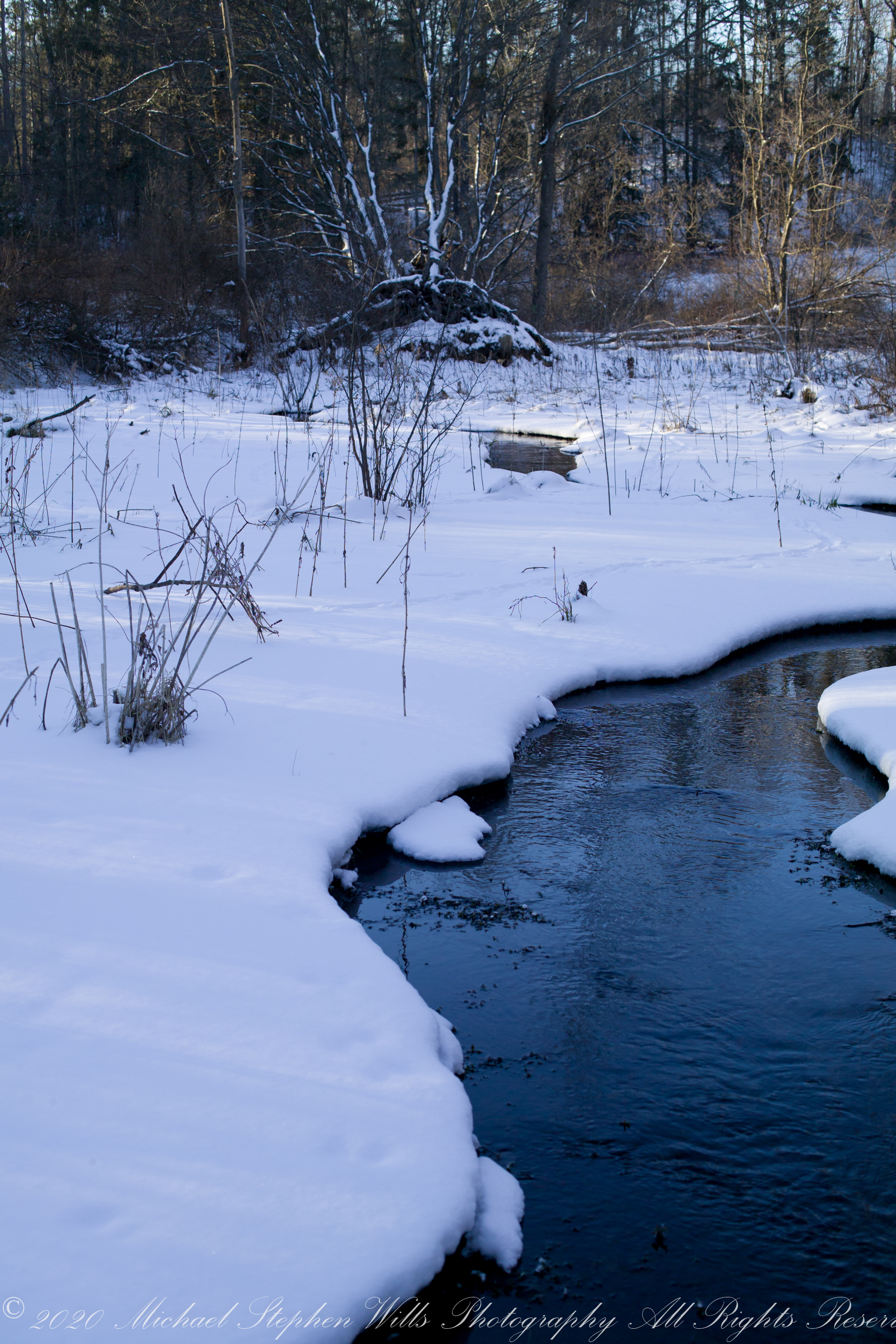
The glacial marls through which this water flows to emerge here clear and pure were under threat from development in the 1980’s and 1990. Thanks to the efforts of the landowner, the uniqueness of this environment was preserved.
The first two photographs are combined and enhanced in photoshop to yield the third, combination, photograph.
All were from a tripod mounted Kodak DSC pro SLR-C with the Canon lens EF 50mm f/1.4 USM
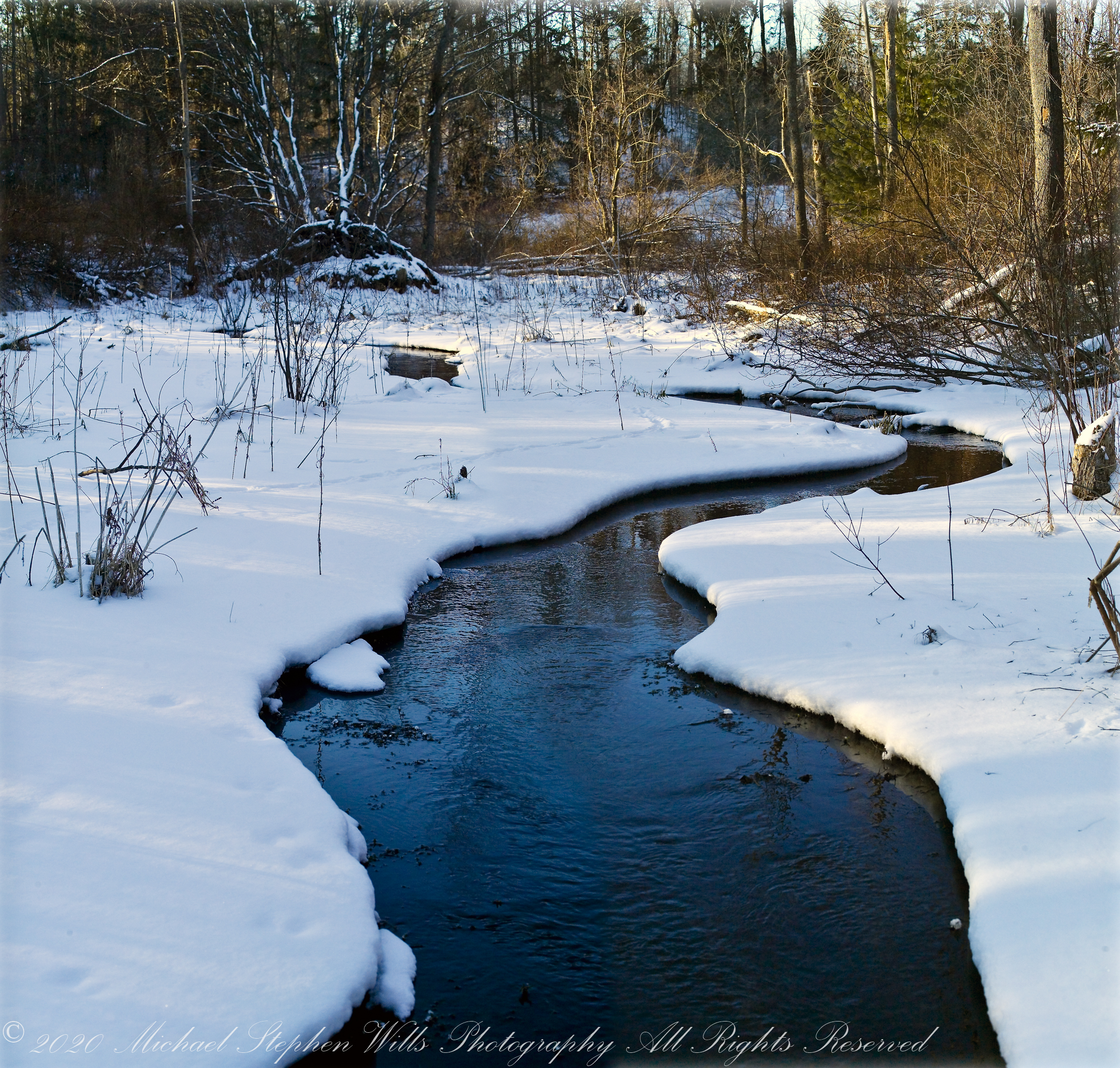

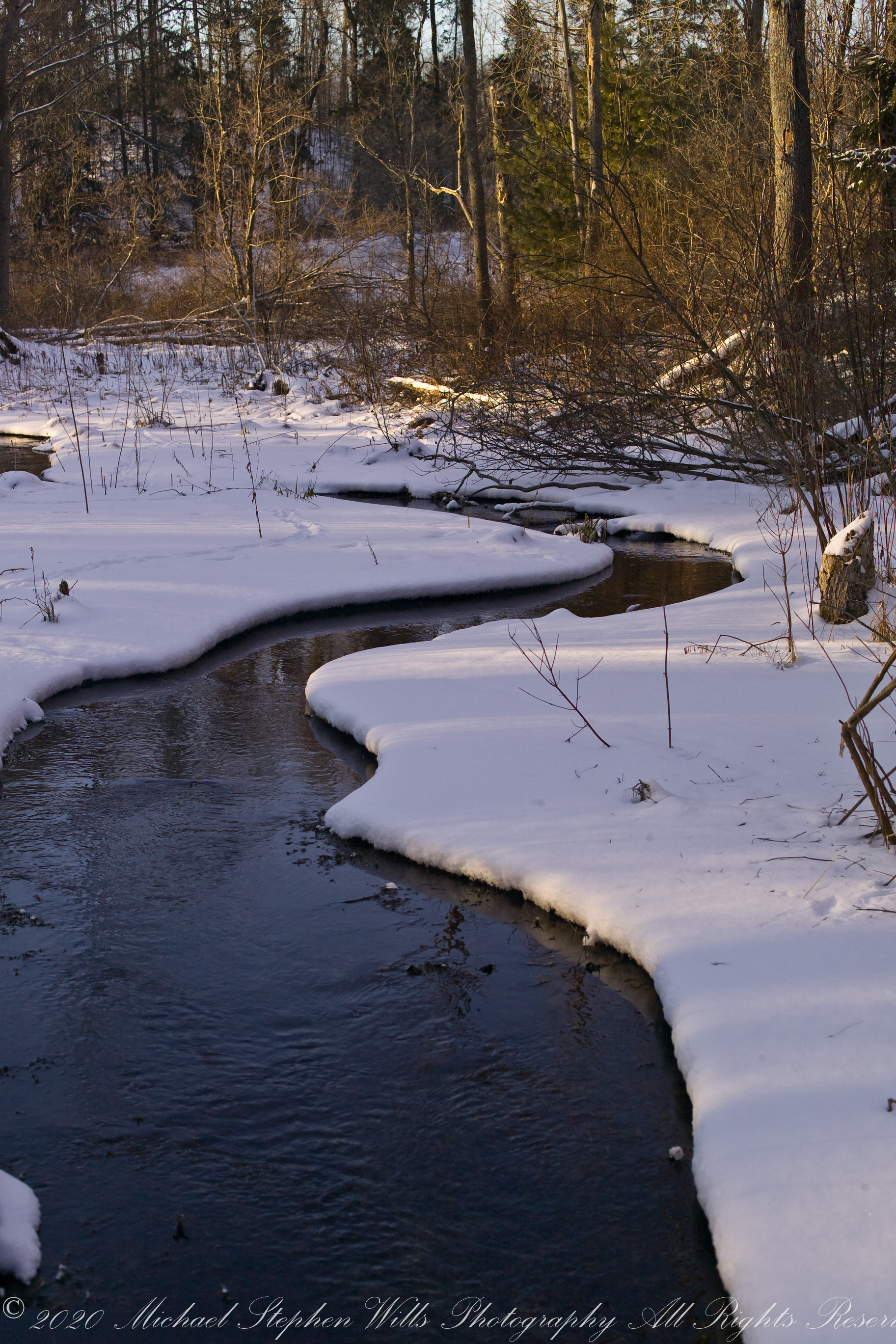
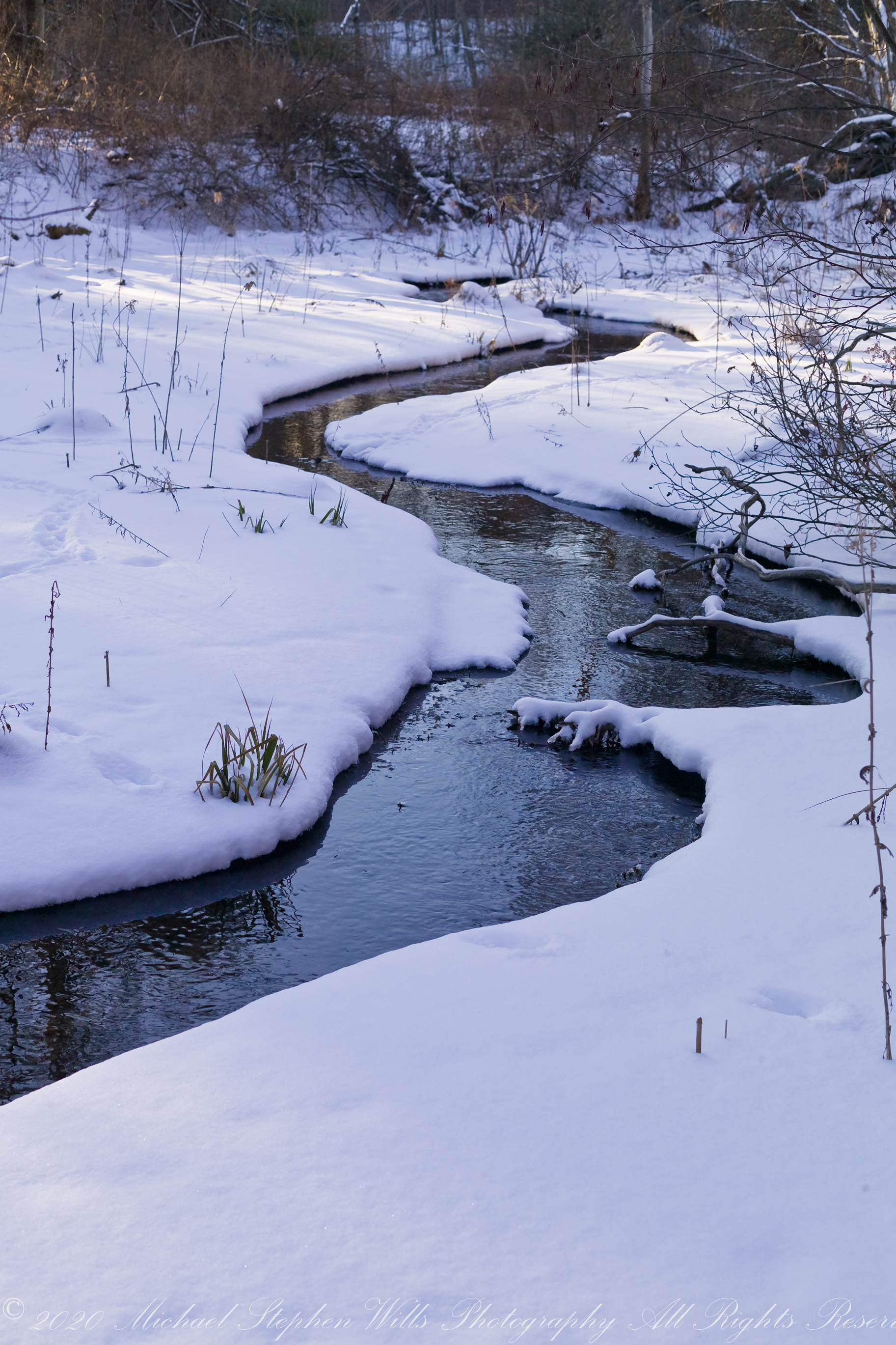
Meadow Idyll
This water emerges from glacial marls, pure and clear, before flowing into a kettle pond. Here we see it on a winter afternoon meandering across a meadow before joining the Fall Creek of the previous postings of this week.
The first two are the same photograph. One has been enhanced in Photoshop. The other was perfected in Lightroom. The third is a different photograph taken about the same time, also peracted in Lightroom.
All were from a tripod mounted Kodak DSC pro SLR-C with the Canon lens EF 50mm f/1.4 USM

Happy Thanksgiving (USA) 2022
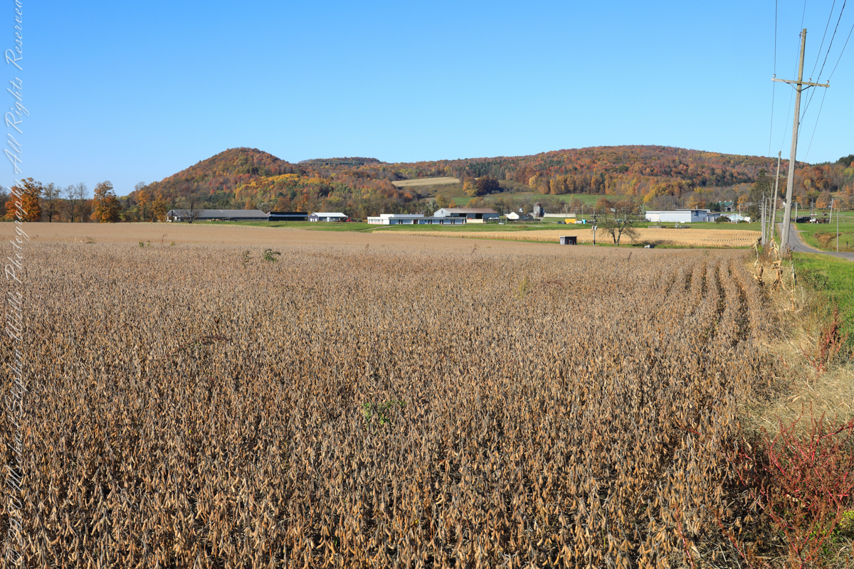
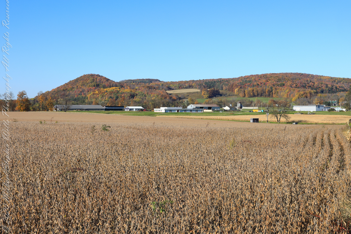

Driven Wells in Cortland County
For this series I travelled a short distance south from where Palmer Road intersects with Virgil Road, crossing the border from Tompkins to Cortland County, closer to Carpenter Hill.
In the 19th Century driven wells (also called tube wells) were an innovation developed in Cortland County under the command of a Civil War era Colonel Nelson W. Green who sought for twenty-two years to impose royalties on use of driven wells. I.H. Palmer assisted John W. Sugget, both of Cortland County, in a seminal patent law case they won in U.S. Supreme Court seeking the release from royalty payments from thousands of driven well installations throughout the Eastern and Midwestern United States. Their successful argument was for two years before any patent application, in Cortland County, driven wells were in use. I cannot say Palmer Road has a connection to I.H. Palmer, though it is an interesting historical aside.

Golden Road
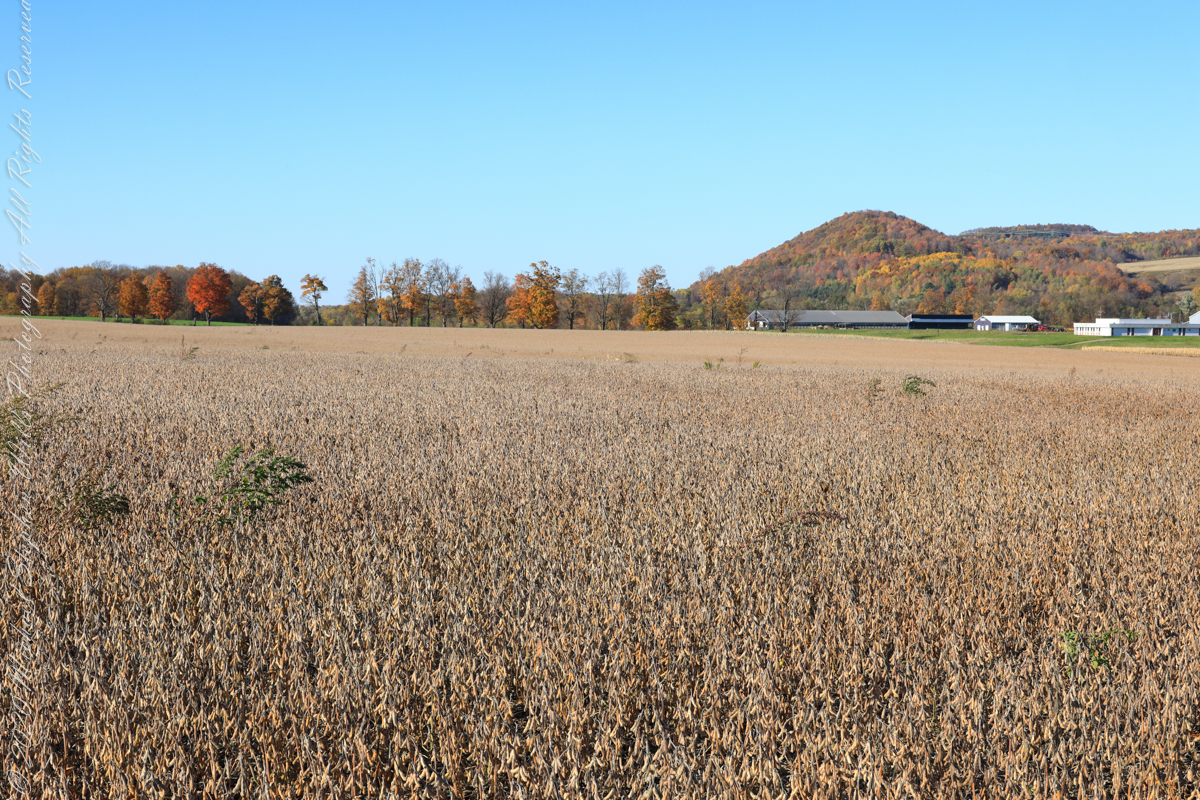
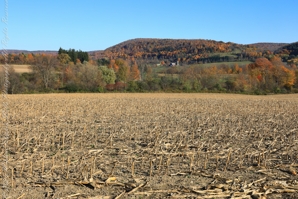
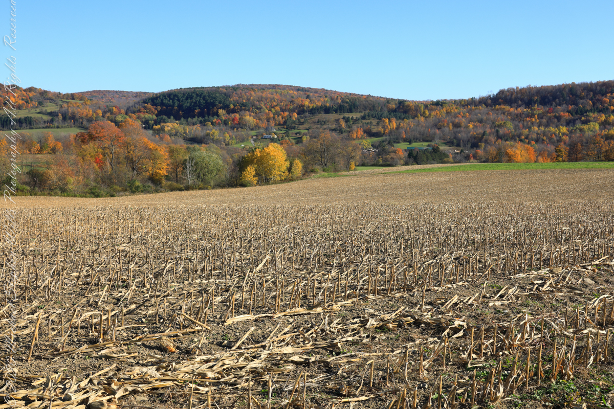
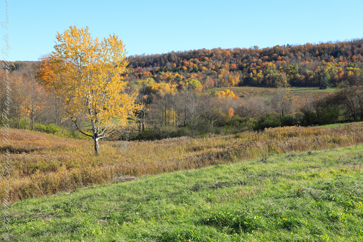
My Sony Alpha was in use during our October 16 drive to Fillmore Glen. As we traversed landscapes, autumn glory of Tompkins and Cayuga Counties was captured. Thank You, Pam, for driving.
Heading today’s post is a windshield shot, I’m loving the effect of a golden road.
During our walk, I used the Sony Alpha for a parallel series of shots to compliment the tripod mounted Canon. Here are some of those results.
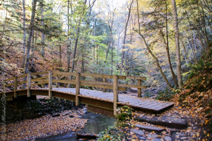


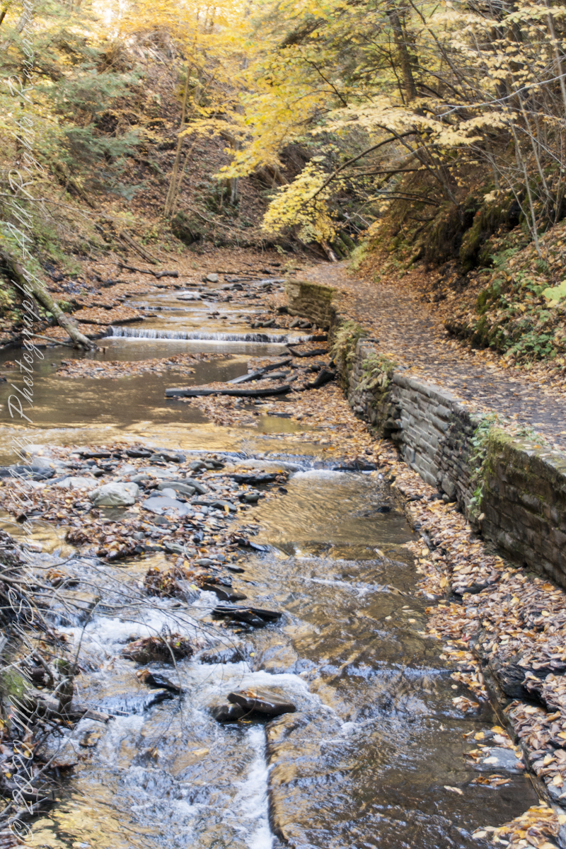
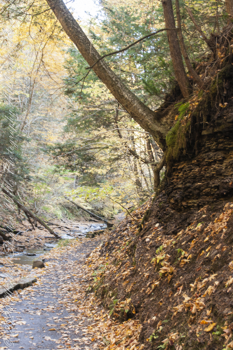


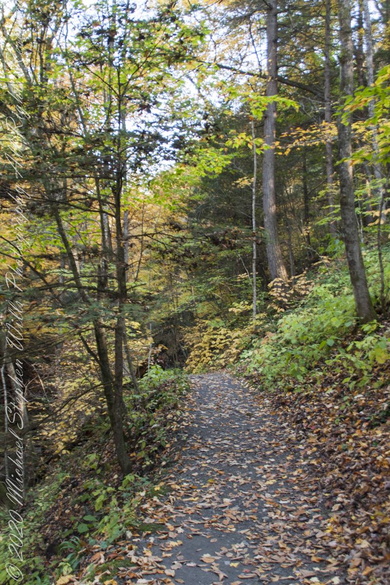
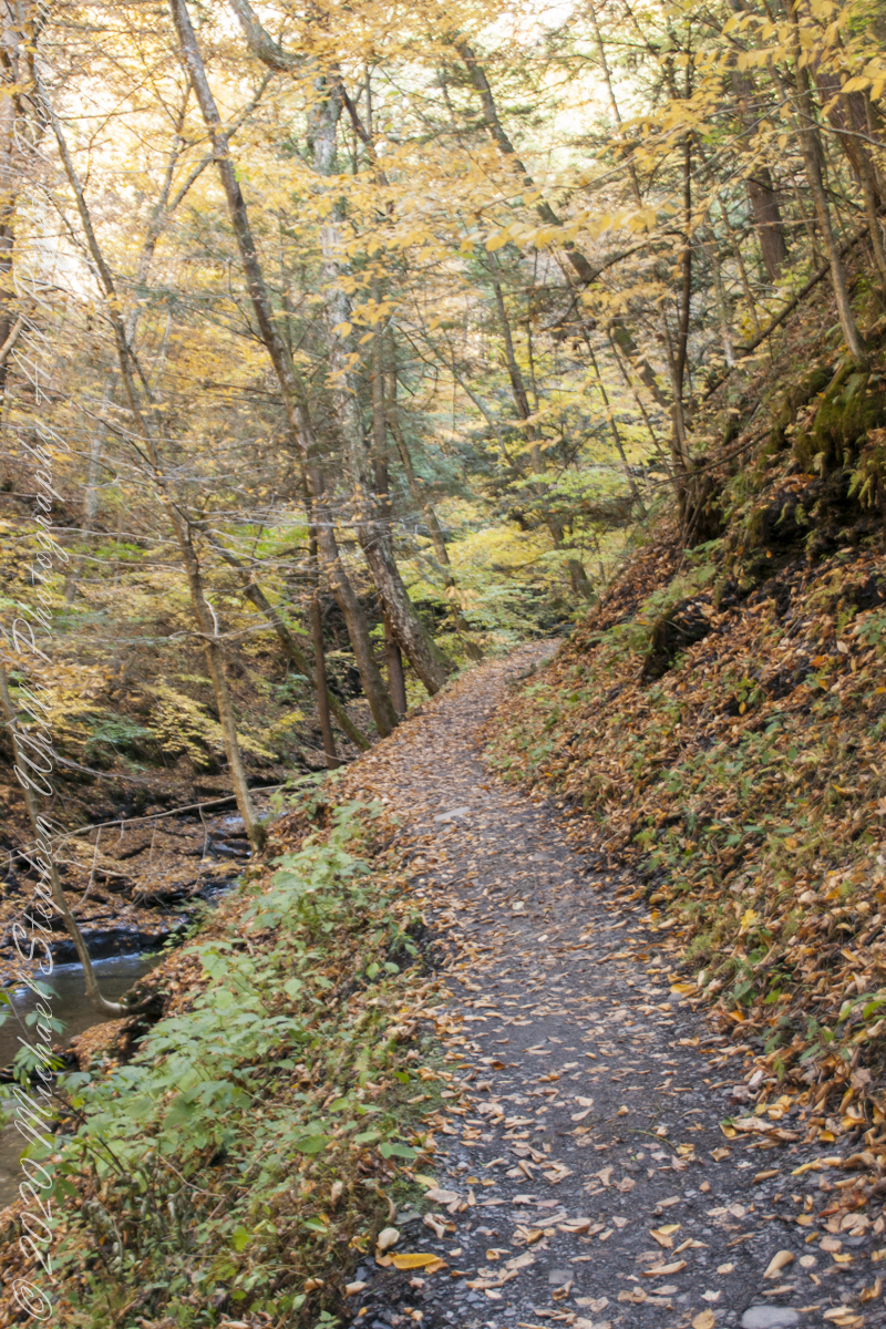
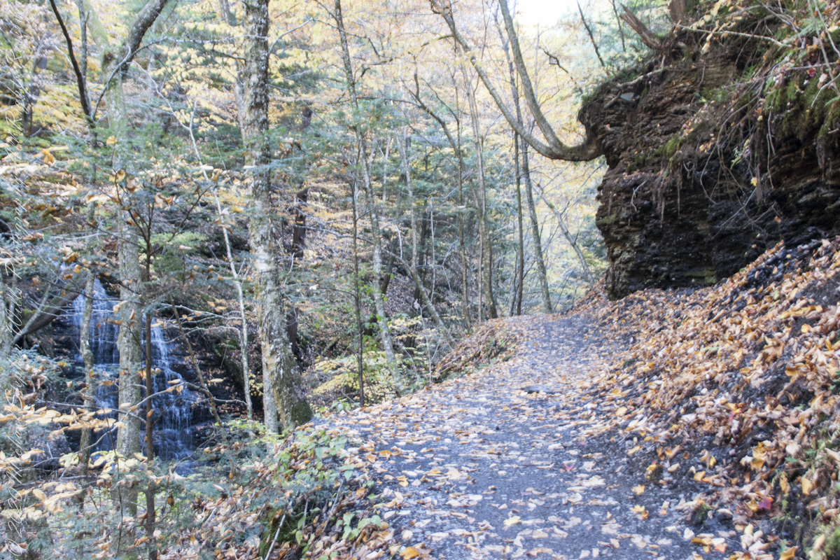

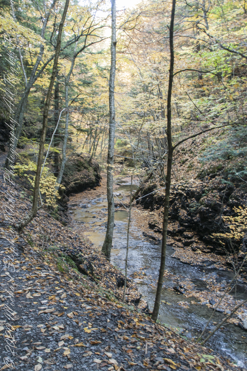


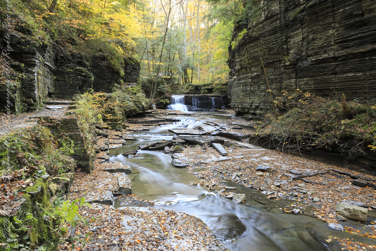
Fillmore Glen, New York State Park, Cayuga County, Moravia, New York

” I ventured up the gorge from bottom to this point where, blocked by an enormous shining emerald-colored ice wedge accumulated from the water pouring over the path in warmer months, I turned around”
Between the metal walkway (see previous post) and the last numbered bridge, eight (8), the gorge narrows with sedimentary rock cliffs on either side, remnants of the forces that formed this rock in the form of water pouring from the porous stone flowing over the trail.
One February morning, equipped with climbing boots, crampons, gaiters, I ventured up the gorge from bottom to this point where, blocked by an enormous shining emerald-colored ice wedge accumulated from the water pouring over the path in warmer months, I turned around.
I call it a Waterfall Gallery for these walls bracing this wonderful collection of cascades in these photographs.

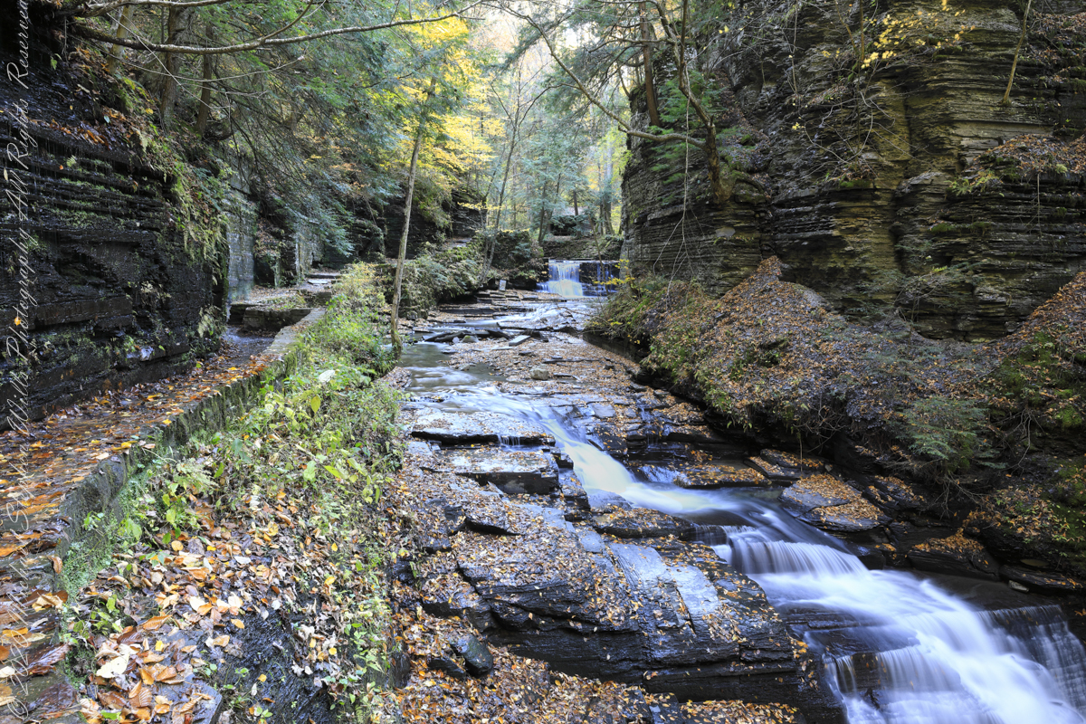

Fillmore Glen, New York State Park, Cayuga County, Moravia, New York
