The 115,000 acres of Wharton State Forest are predomenantly Pitch Pine, scientific name Pinus Rigida, and AKA Black Pine and Hard Pine. Climb the fire tower of Apple Pie Hill, in all directions will be a sea of these trees interspersed here and there with occasional oaks. Cedars mark water courses. These photographs, unless otherwise identified, were taken deep in the forest, near where Quaker Bridge spans the Mullica River.
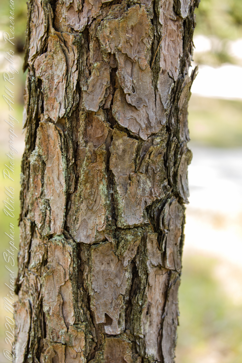
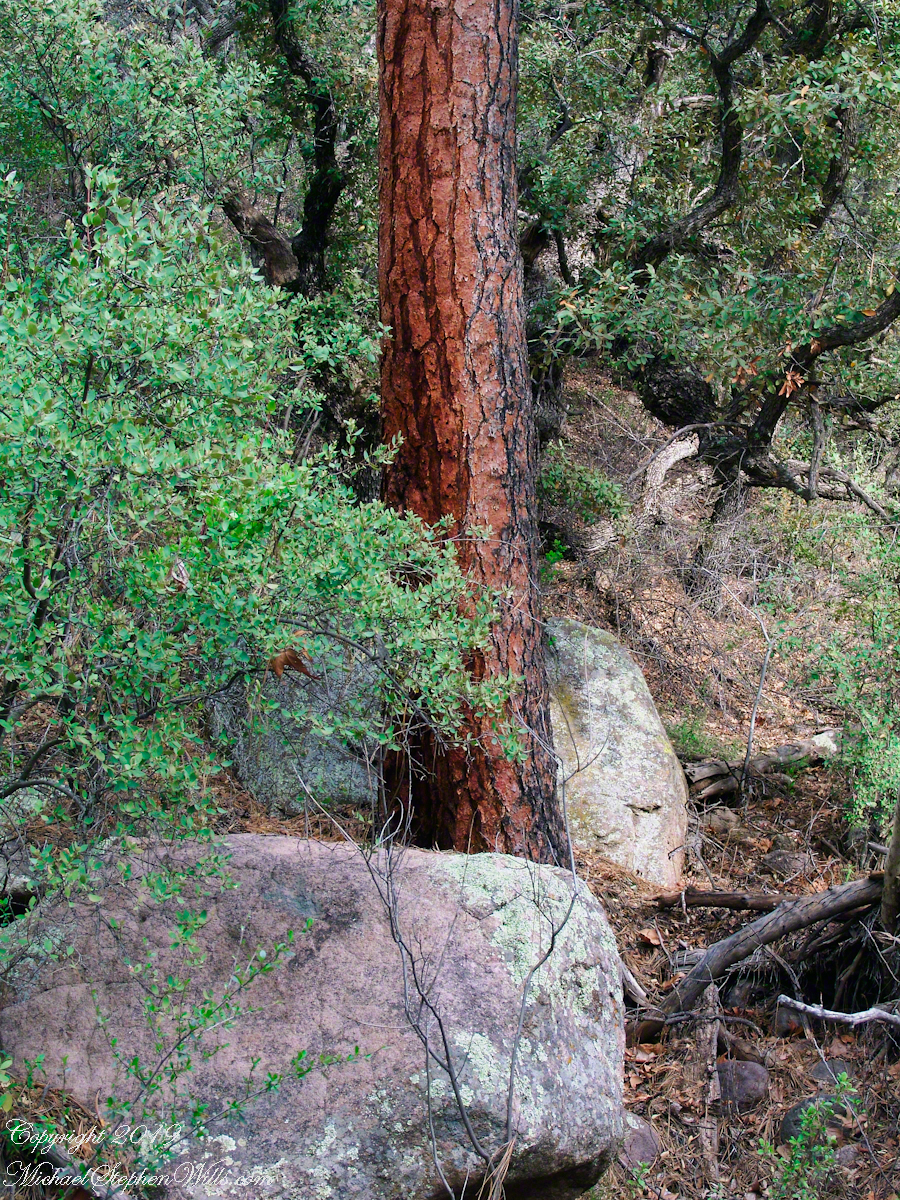
A mature Pitch Pine has bark of large, thick, irregular plates, adapted to survive forest first, similar to another member of the Pinus genera, the Ponderosa Pine.
Click pic for larger view in a new browser tab. If you are in WordPress Reader, open the post to use this feature.
Trunk of a mature pitch pine
Trunk of Ponderosa Pine, Superstition Wilderness
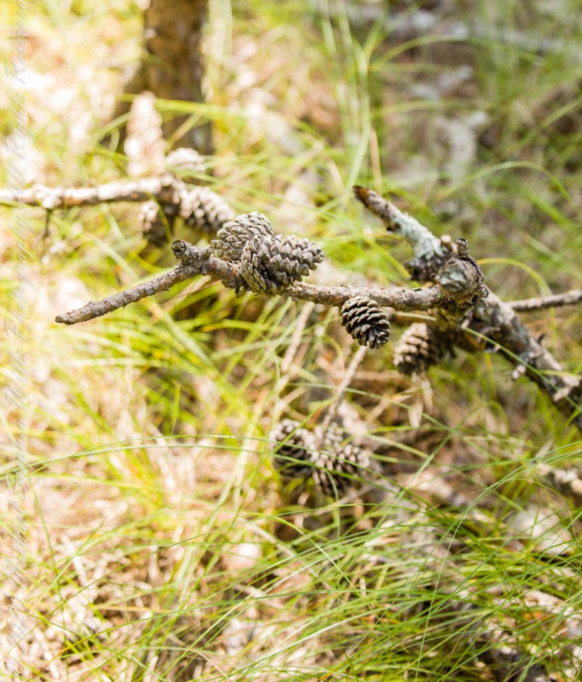
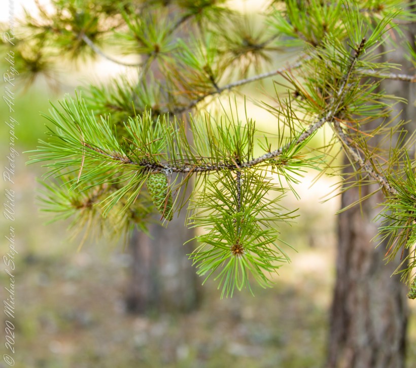
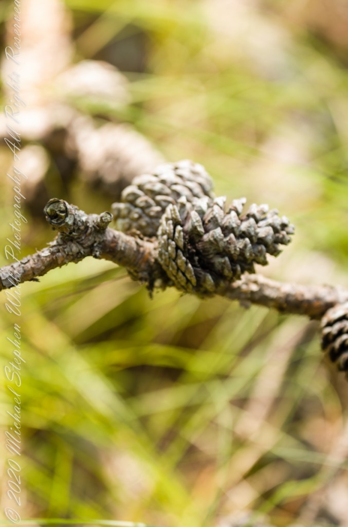
Open-growth trees begin bearing cones in as little as three years, with shade-inhabiting pines taking a few years longer. The cones are 4–7 cm (1+1⁄2–2+3⁄4 in) long and oval, with prickles on the scales. Cones take two years to mature. Seed dispersal occurs over the fall and winter.
Unlike the another member of genus Pinus, the Pinyon Pine, the seeds released by Pitch Pine cones are not sought out for human consumption.
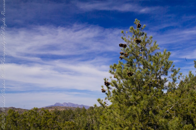
Large Pinyon Pine with mature cones on the slopes of Mound Mountain above Reavis Valley. Superstition Wilderness, Arizona. Four Peaks Wilderness is in the distance.
Copyright 2021 Michael Stephen Wills All Rights Reserved
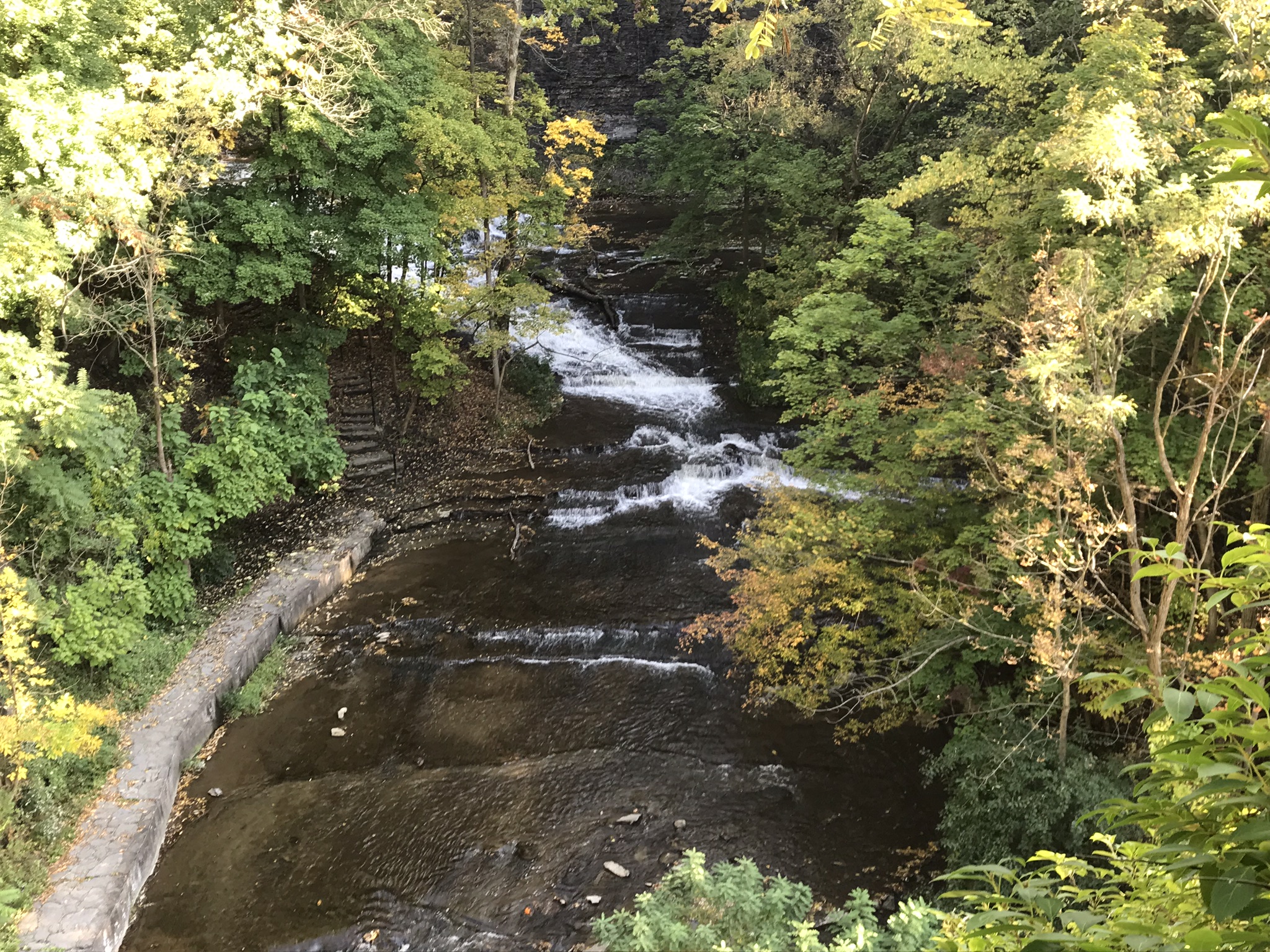
An 84-degree October walk up Cascadilla Gorge—quiet paths, bluestone porches, fresh paint on the bridge—waiting for the footbridge to catch the last, warm evening sunlight.
Every fall I make a point of walking Cascadilla Gorge at least once. On an 84-degree October 9 afternoon, Pam was tied up with chores, so I parked downtown and stopped to see the grandchildren. They were with their mom. Two were “too tired” after school to do anything. The youngest, at the age of four, was not yet in school and he floated the idea of the skateboard park; for me, that wasn’t in the cards. So I set off on foot up Court Street, past the residence of Buddhist monks at the gorge entrance.
Cascadilla Gorge is part of Cornell Botanic Gardens (formerly the Plantations), the university unit that stewards natural areas and gardens across campus. Foot traffic was light. A sign explained why: the lower trail was closed at Stewart Avenue, where the bridge spans the ravine. I crossed to the north side by the Christian Science church and wound up Cascadilla Park Road to the rim trail that climbs East Hill toward campus.
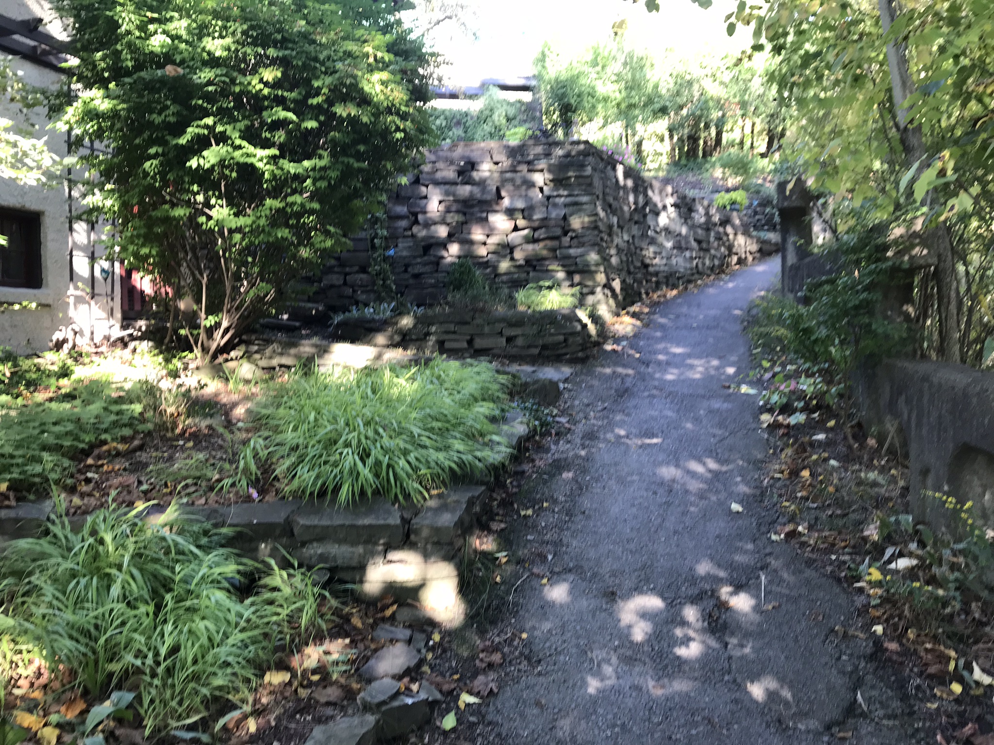
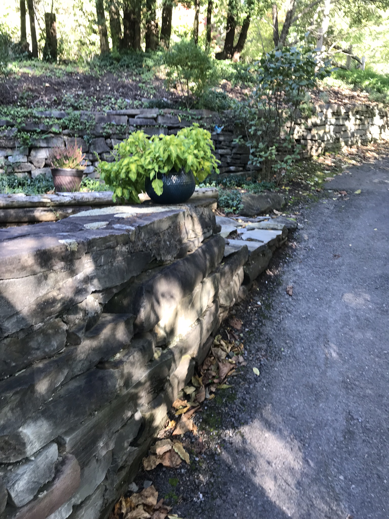
Homes line this stretch, porches facing the gorge where the constant music of creek and falls carries up. Not feeling ambitious, I made a few phone snapshots. Here the path squeezes past a porch built of local “bluestone,” a feldspathic sandstone native to the region—around town it’s sometimes called “Llenroc,” Cornell in reverse.
That pot you see in the previous photo gets a closer look here, with more of the same weathered bluestone.
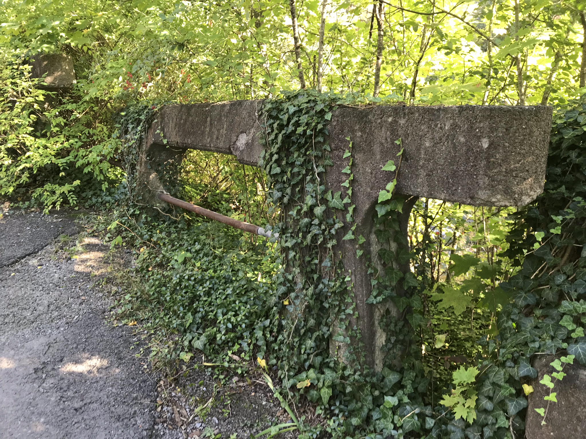
The drop to the gorge floor is steep, sheer in places. The barrier fence looks stout in some sections and thins to almost nothing in others. A few years ago, a recent Cornell graduate walking home late along this path fell to his death. I continued to the fork for the Ithaca City Cemetery, climbed to Stewart Avenue, turned right to cross the Cascadilla bridge, then right again onto the Gorge Rim Trail back toward town. At the bridge I noticed part of the closure work: fresh paint on the bridge and on the suicide-prevention netting beneath. On September 24—just fifteen days earlier—a Cornell senior had jumped; the net caught him, and the fire department brought him to safety.
From the concrete barrier in that photo you can peer into the gorge: a beautiful view, the steady voice of water rising from below. I try to leave the darker stories where they belong—at least until the sight of fresh paint pulls them back to mind.
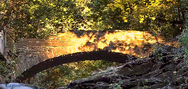
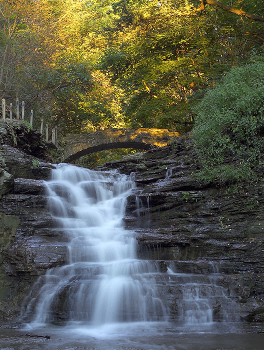
I took the following photograph in 2005, the September before my previous post, “Autumn Stroll in Sapsucker Woods” with the Kodak DSC pro slr-c, an ND filter, 50 mm lens and a tripod. It was a planned session, I work waterproof boots and was able to stand in the creek after a series of rain-free days. At this time of the year the gorge opens to the setting sun. I waited, taking a series of photographs for the perfect amount of light on the footbridge. The feature photograph (the header to this posting) is a detail from a shot with the bridge more fully lit.
The header image for this post comes from a planned session in September 2005, just before the photograph of my “Autumn Stroll in Sapsucker Woods” post. I used a Kodak DCS Pro SLR/c with an ND filter, a 50 mm lens, and a tripod. After several rain-free days I wore waterproof boots and stood mid-creek. In autumn the gorge opens to the setting sun; I waited and shot a sequence until the light laid perfectly across the footbridge. The banner image is a detail from a frame where the bridge is more fully lit.
We have a framed print of that photograph at home. I mounted it as a gift to Pam on our first Valentine’s Day.
“September Sunset in Cascadilla Gorge”
If you’ve walked Cascadilla Gorge in autumn, I’d love to hear your favorite vantage points—porches along the rim, the lower stone steps, or the footbridge at golden hour. Do you know any stories about Llenroc bluestone on these houses, or remember the Stewart Avenue Bridge before its safety upgrades? Photographers: what helps you balance deep shade and bright water from the designated trails? Share a tip or a memory in the comments.
Enter your email to receive notification of future postings. I will not sell or share your email address.
Copyright 2025 All Rights Reserved Michael Stephen Wills
The previous post was an overview the Fulacht Fiadh associated with the Drombeg Stone Ring of County Cork, Republic of Ireland.
In this post, we explore the elements of these fascinating remnants from the late Bronze Age, over 3,000 years ago.
Click pic for a larger view, in a new tab. When using WordPress Reader, you need to open the post first.
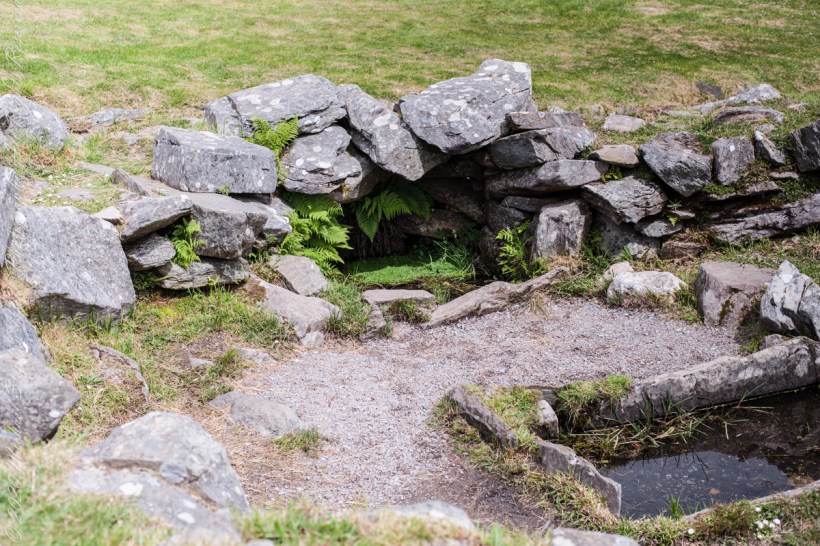
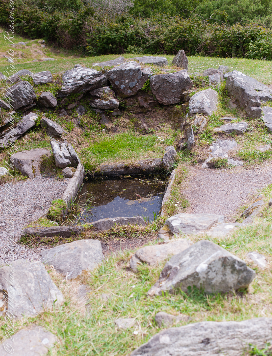
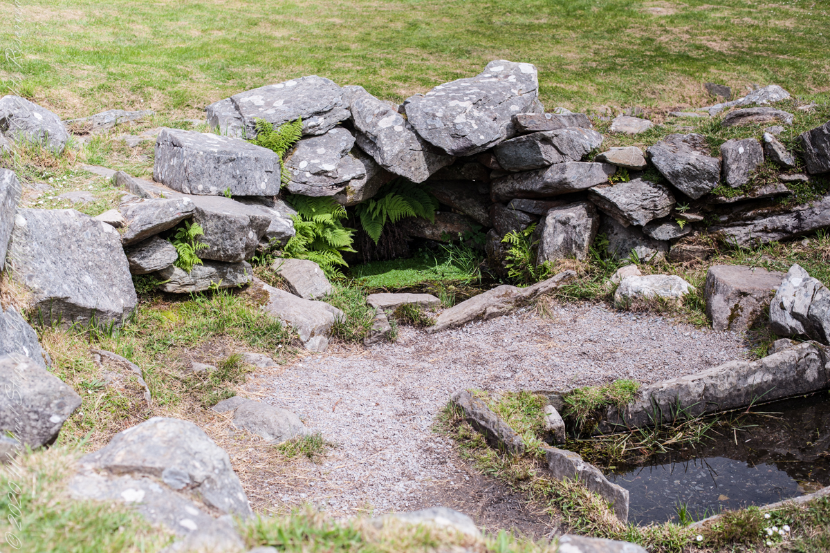
rock- lined pit
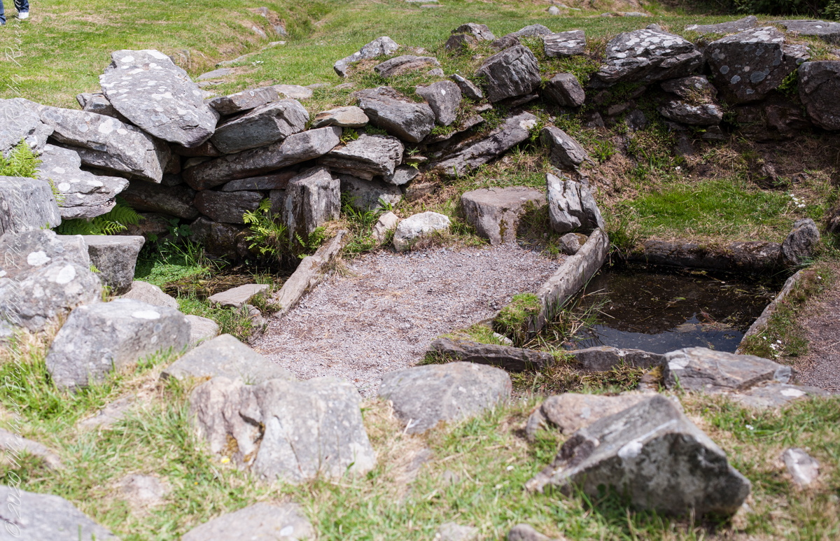
It is amazing the rock wall survived human need for the valuable wall stones. Portions were stolen, though for the most part we can see enough to understand.
rock- lined pit and hearthView of entrance to the south from above the spring, visible is the rock lines cooking pit filled with ground water.
Capturing photographs and videos on the fly using an Iphone, we visited Fillmore Glen State Park, Moravia, New York with our granddaughter, Nia. This is the third post of this series. Click me for the first post in this series.
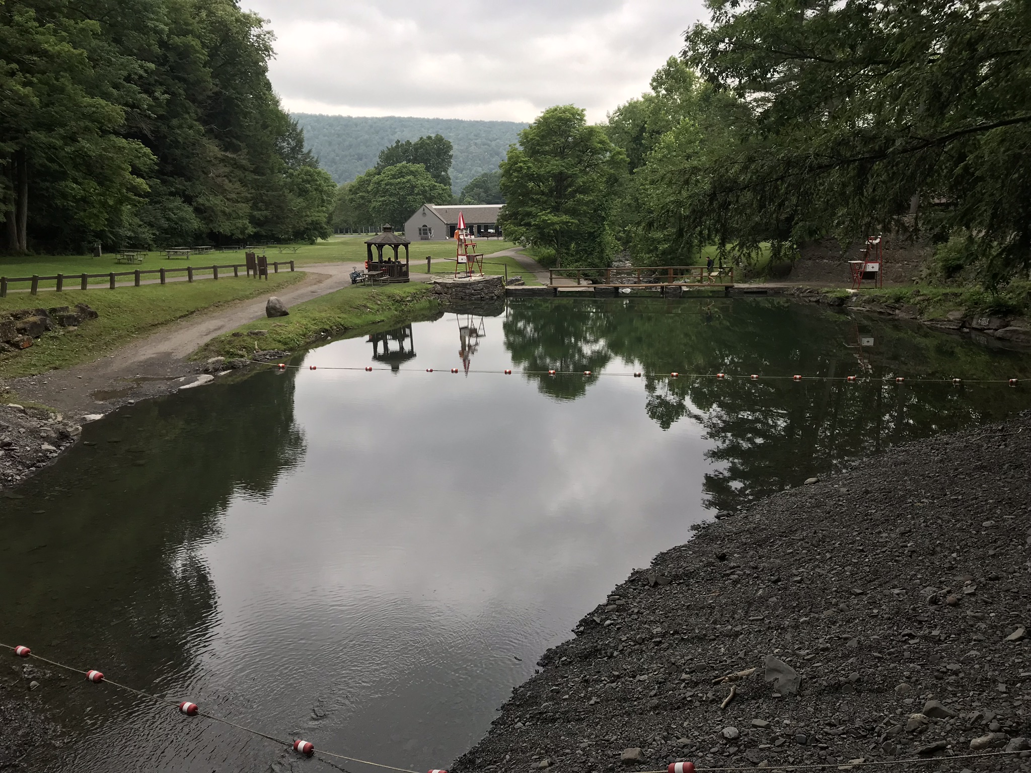
Emerging from the blind canyon of Cowsheds Waterfall, we are faced with this gorgeous pool fed by Dry Creek (yes, that is the name). Formed by a dam, the water is deep and very cold.
We were standing on this footbridge for the above photograph. The trail to Cowsheds is on the far side of Dry Creek and to the right.
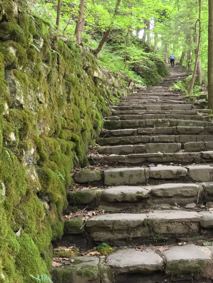
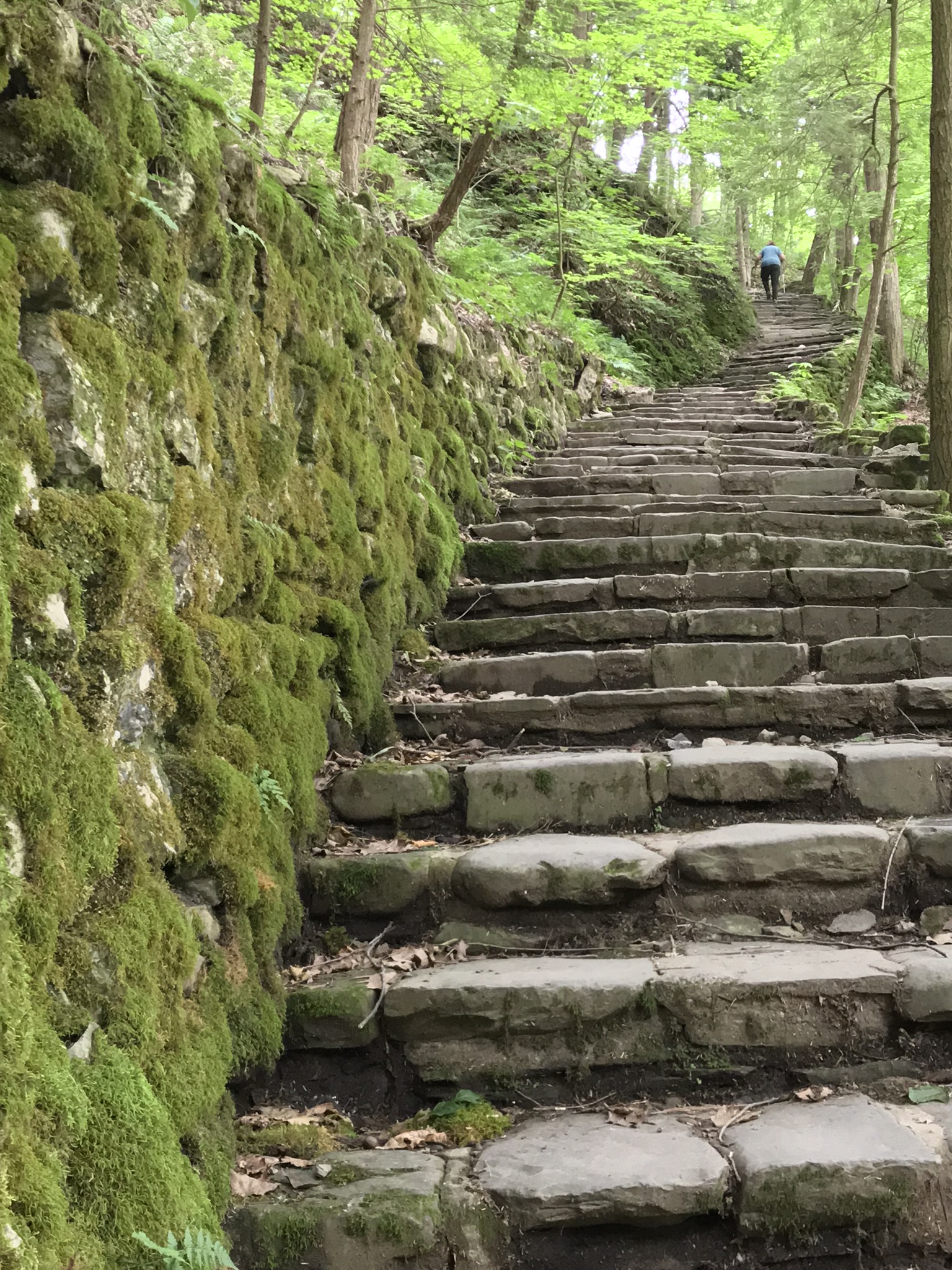
We have yet to count these steps, don’t know why. The limestone blocks were quarried locally from the same stone of the creek bed. The gorge trail begins at the top.
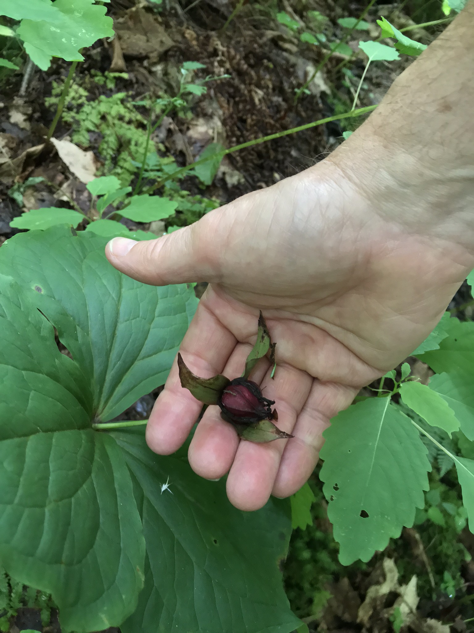
Trillium Seed Capsule
This is a Purple Trillium, I believe, formal name Trillium erectum. It is a large specimen judging form the width of the bracts, leaf like structures at the based of the flower stalk. When fertilized, the ovaries form this seed capsule containing up to 16 seeds, each with lipid with a high content of oleic acid. During summer, the capsule opens, seeds disperse. Ants encounter the seed elaiosome, the oleic acid content triggers “corpse carrying behavior.” The ants carry the seeds into their nests, consume the lipids leaving the seeds. After a year dormancy the seeds sprout and the additional depth in the ant nest provides a good start.
Trillium are a favorite food of deer, unfortunately. Some seeds are spread this way, passing through the digestive tract and out in fecal waste. I use the color of the seed capsule to identify it was Purple Trillium. In my experience the white variety (Trillium grandiflorum, and others) has a light colored seed capsule.
Copyright 2021 Michael Stephen Wills All Rights Reserved
Our “Night Blooming Cereus” is blooming earlier in 2021, blooms opened twice during nights of early August. I put the name in quotes because during the course of writing the first seven posts ( I through VII ) I learned this is NOT a member of the genus Cereus, it is actually an epiphyte of the Epiphyllum genus.
For those familiar with the early history of New York City and Hudson Valley it is easy to see why a common name of the plant is “Dutchman’s Pipe Cactus.”
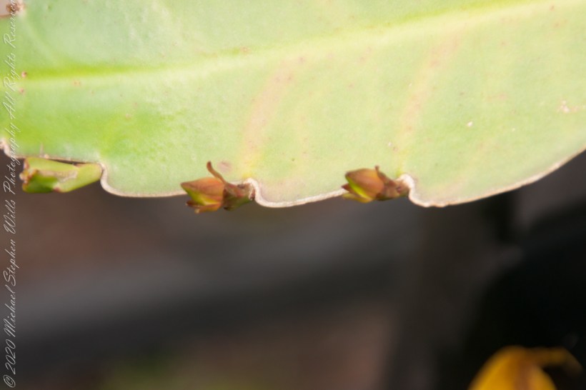
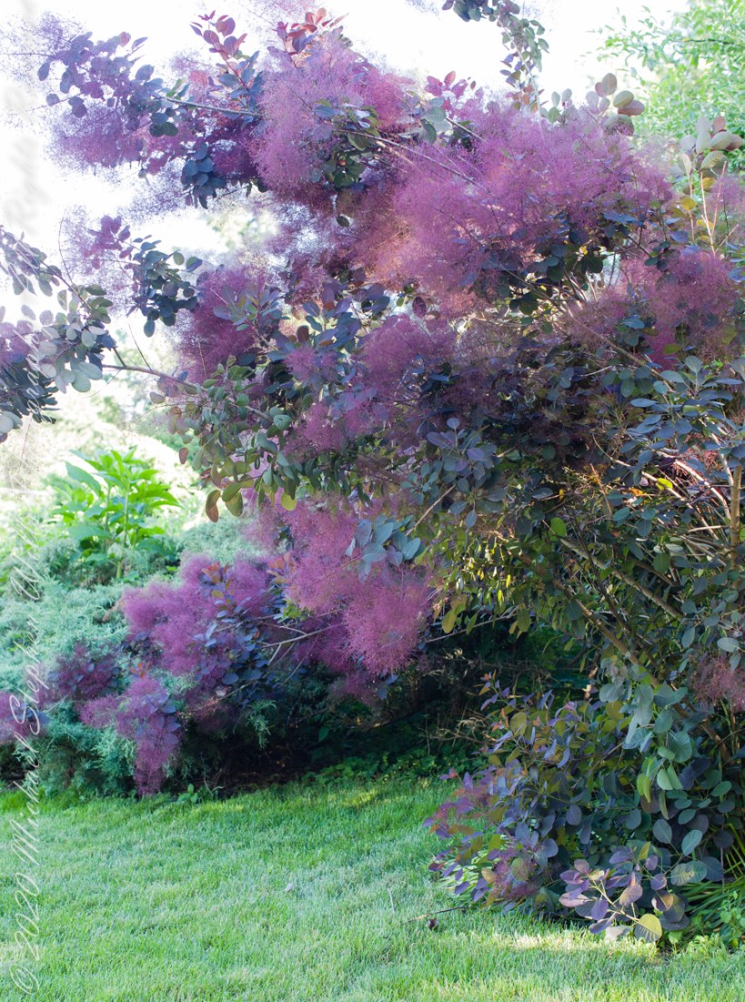
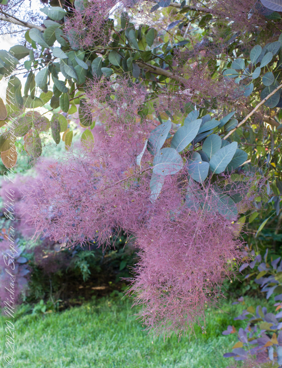
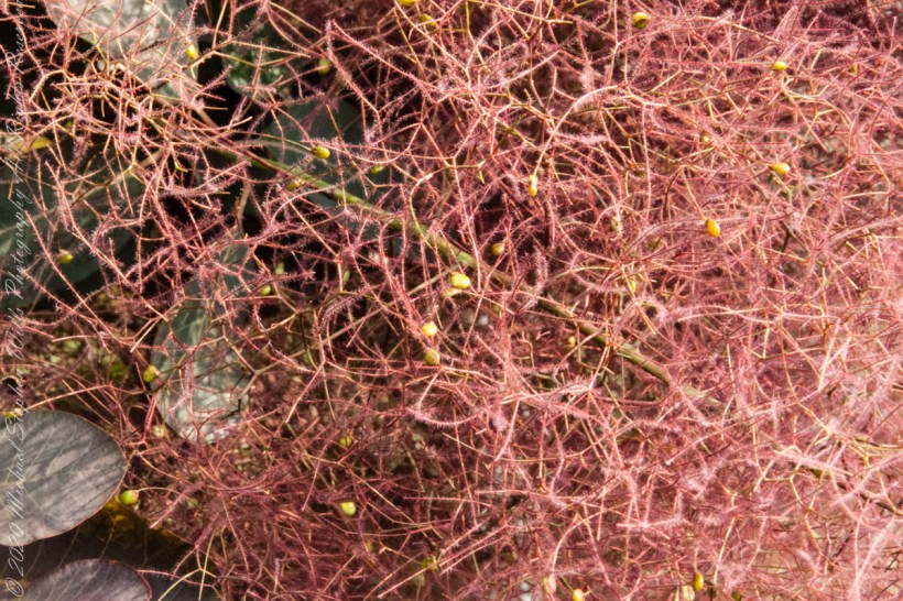
Three species of the genus Cotinus, commonly called “Smoke Tree,”in the family Anacardiaceae exist in North America, Europe and Asia. Ours is more like a shrub with numerous, long branches. Flowers with profuse filaments in clusters resembling whiffs of smoke. Here we see the flower filaments, interspersed with small drupes, each containing a single seed.
ISO 2500, 1/40 sec at f/13
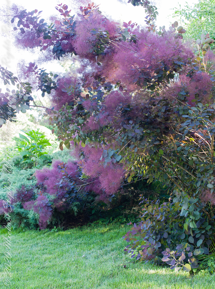
The post header, and these photographs were made from the Canon EOS 5D Mark IV, Canon Lens EF 50mm f/1.2L USM stabilized with a Manfrotto 468ZMZ tripod with hydrostatic head. Late afternoons, evenings the tree is shaded by a hemlock hedge (line of trees running north/south) this is the shade here. This Canonn dslr excels in color rendition. The flower masses are a burgundy wine color, the leaves have a purple tinge. I do not directly fertilize, as the plant is said to do best with unfertile soil though the surrounding cedars do get fertilizer stakes.
ISO 800, 1/125 sec at f/5.0
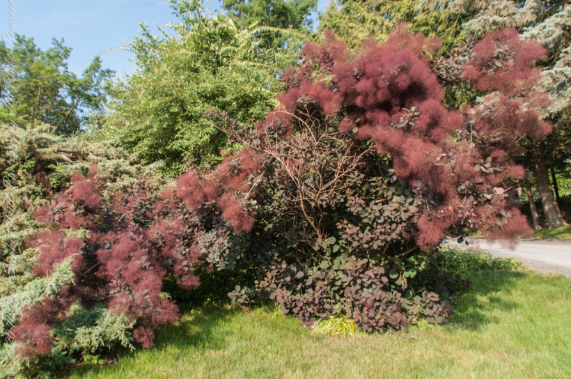
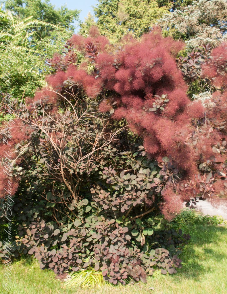
Eight AM a following morning I followed up with a handheld session using a Sony DSLR-Alpha700, Sony Lens DT 18-200 mm F3.5-6.5. Took these two shots with a lower ISO and tweaked the images in Lightroom, reducing the exposure. The flower smoky effect is well captured, the color in bright sunlight is not as wine-like as in shade.
ISO 200, 1/250 sec at f/5.0
ISO 200, 1/200 sec at f/5.6
By the time I proceeded to macros, a morning breeze kicked up, handled by upping the ISO to 3200 for a faster shutter speed to stop the movement. The bright sun helped with this.
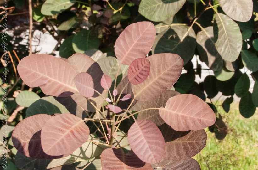
Fertilized flowers develop into fruit stalks with radiating filaments, the yellow dots are the drupes (fleshy bodies surrounding a single seed). Fresh leaves are purple, turning to dark green with age. The leaves are as unusual as the flowers: aromatic, simple and round on long stalks. Autumn, the leaves turn a stunning bright red-orange, a scarlet shade. In winter some stalks die off, new growth appears from the roots in spring.
Flower Filaments with drupes. ISO 3200, 1/100 sec at f20
New leaves with aged in background, ISO 3200, 1/320 sec at f20
References
“The Botanical Garden Vol 1 Trees and Shrubs”, Roger Phillips and Martyn Rix, Firefly Books, Buffalo NY, 2000, p 361
Wikipedia, “Smoke Tree”
Copyright 2021 Michael Stephen Wills All Rights Reserved
One weekend my nephew Chris and I backpacked to Peaked Mountain Pond, the Adirondacks wilderness, in the rain. My son, Sean, was to meet us later. The constant rain made the easy trek into a slog. Our attitude improved after the tents setup and the fire. The skies clear to a brilliant display of the Milky Way away from light pollution.
Peaked Mountain in the light of an August dawn taken from the west pond shore. Siamese Ponds Wilderness, Adirondack Park, New York State. At 2,919 feet, Peaked Mountain is a modest height though it rises an impressive 675 feet in 0.4 mile.
Looking north across Peaked Mountain Pond from the west shore shortly after dawn.
Click the photograph to visit my Fine Art Gallery
We used the canoe as a punt, using a solid branch to push around the shallow pond for short distances, after bailing.
Click the photograph to visit my Fine Art Gallery
Mid-morning, we headed up the trail to the peak. I caught this orb-weaver spider web on the way.
Click the photograph to visit my Fine Art Gallery
…and a detail. Technically, this is a macro. Did not wait around for the owner.
Click the photograph to visit my Fine Art Gallery
Later, in the afternoon, Chris caught some Zzzzz’s in a time out from water gathering. We pumped water through a filter, this is necessary throughout New York State to avoid giardia infection.
Click the photograph to visit my Fine Art Gallery
The ultimate in peace and tranquility, though disturbing a hornet pollinator can lead to excitement. This water lily bloom was caught with a tripod mounted long lens. Look closely for the hornet at work inside the flower. HHealthy water lily leaves are the epitome of tranquility because they are always clean, giving the illusion of tranquility. Scientists study water lily leaves to learn how the leaf surface sheds dirt. Imagine self-cleaning cloths.
Correction: it is the Lotus leaf, not lily pad, that is self cleaning.
Looking for the perfect photo for your web site and blog?
Browse my reasonably priced stock photography. This blog features seven (7) photographs I published today to Getty Istock and my Fine Art gallery.
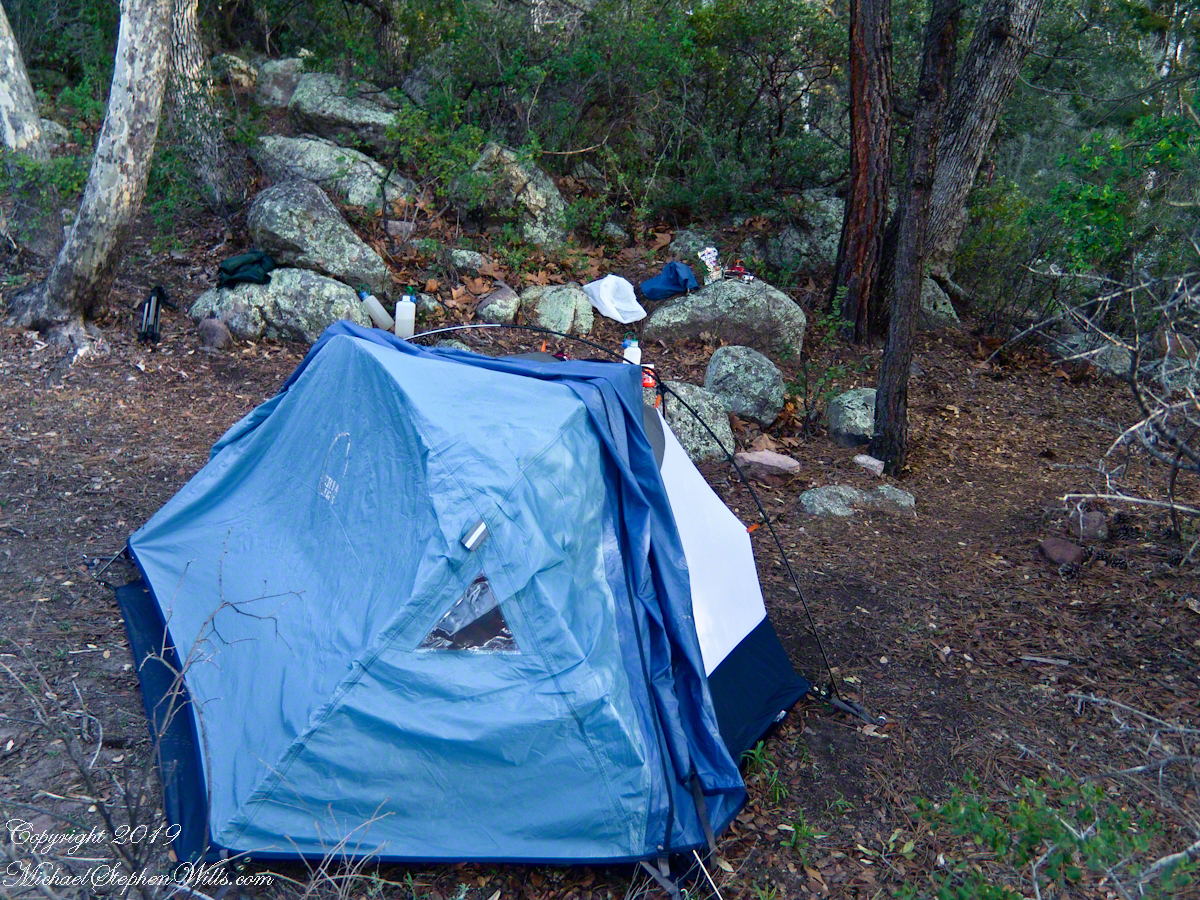
My third wilderness evening was unlike the others. I rested with an unhurried exploration of the camp area. Underfoot was a scatter of dry oak leaves, acorns on hardened desert soil not much softer than the numerous lichen encrusted boulders, all of which formed a bench above Pine Creek.
Pine Creek Camp Overview from a large lichen encrusted boulder
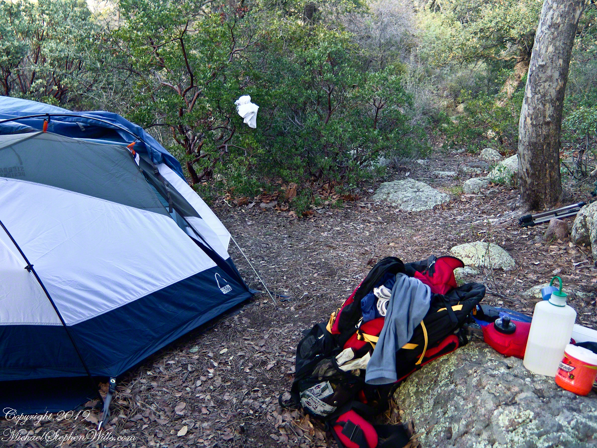
Pumping a gallon of drinking water though the ceramic filter takes more time than meal preparation. The four gallons I packed up were almost used and I enjoyed the luxury of pumping two days supply, 3 gallons in all and planned to down a quart or two of “gator aid” before dinner with the luxurious enjoyment of a flowing Pine Creek for company.
Pine Creek is the most common type for Arizona, recurring. To recur means to happen periodically or repeatedly and, for streams, this means for part of the year no water flows. For these days the flow was low, the water clear, what was left from the plentiful winter rains of 2004/2005.
Looking east toward Manzanita thickets with the unpacked backpack foreground
The wind gently rustled the manzanita and the sun just above the western cliffs as I settled on a boulder to enjoy a quart of fluid. I mulled over my next steps.
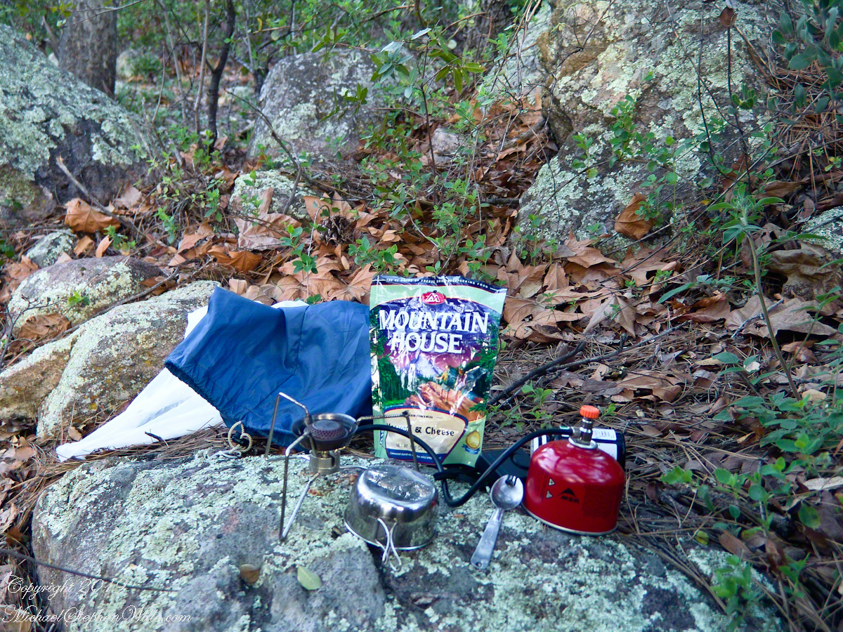
The kitchen: a very light gas burner, spork, dehydrated food with cup for beverages
Initially, the plan was to walk across the Superstition Wilderness, starting on the remote eastern end and emerging on the populated west side, in the Lost Dutchman State Park. My sister expected me there on day 10, but today was the end of day three. I didn’t know at that time the climb on my second day was the steepest of the wilderness and the way forward was much, much easier.
Looking west toward pine creek, manzanita branch foreground and thickets all round, young Ponderosa Pine, Arizona Oak behind tent.
Before a decision could be reach, my thoughts were broken by a different sound from the manzanita: several horses approaching on the trail.
Here is a photographic recap of the previous Superstition Wilderness postings as a gallery. You can page through the photographs.
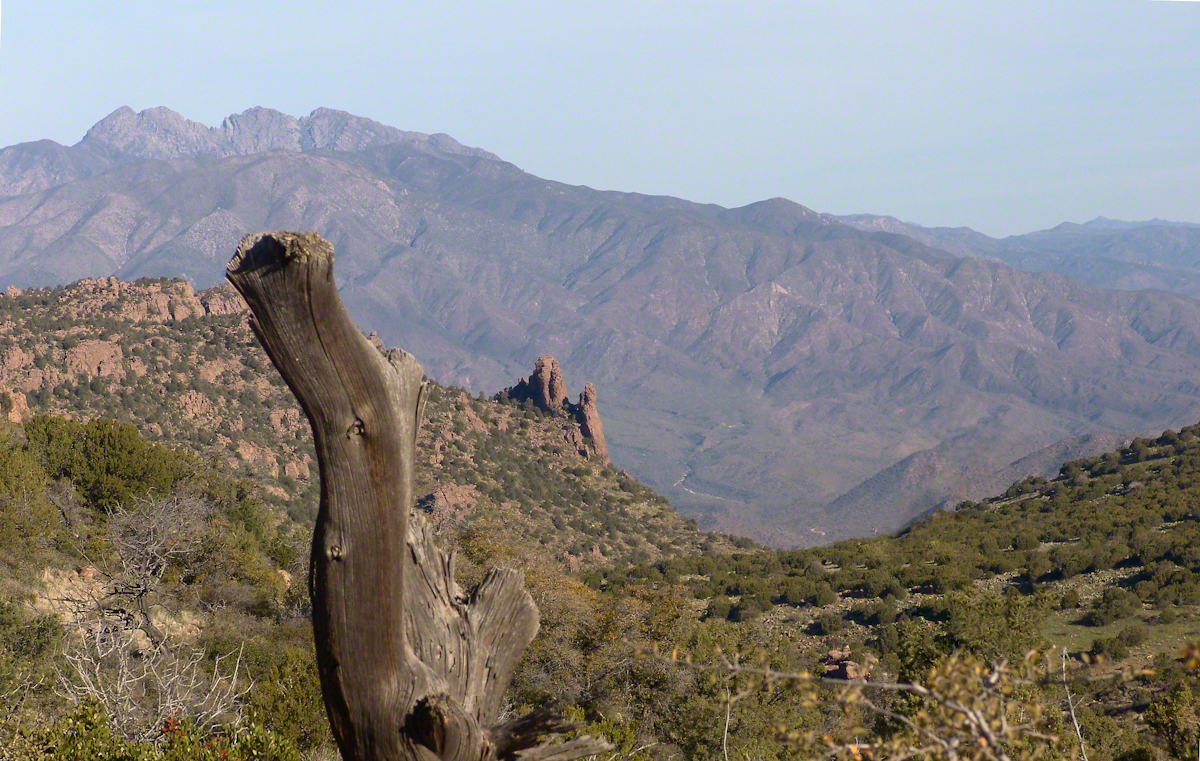
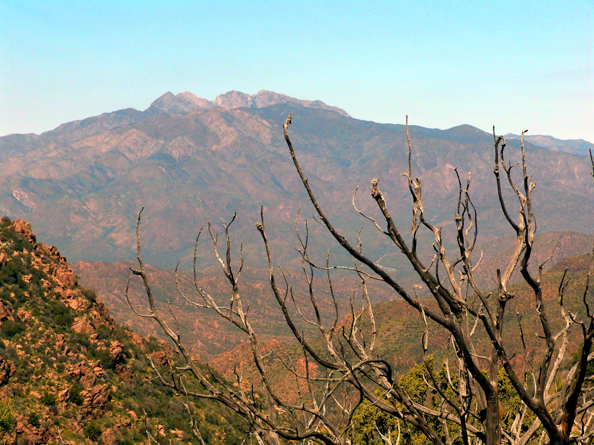
View to the southwest on the Arizona Trail above Pine Creek.Pine Creek of the remote eastern Superstition Wilderness hosts this wild Tufted Evening Primrose.The Arizona Trail passes this spot in the remote eastern Superstition Wilderness. This is the view of my path up from Nameless Canyon. In the distance is the Four Peaks Wilderness Area.Superstition Wilderness, Arizona
The spring gales persisted through my late afternoon arrival in Pine Creek, into the night and next morning. Protected from the west wind by the rising land, the tent was not buffeted like I described in the chapter “A Dry Piece of Paradise.” The song of soughing pines was my last impression of the evening and the first of the next morning.
Where the Arizona trail crosses, Pine Creek flows at 4,600 foot elevation through a canyon of broadly sloping sides. The flow originates at the foot of Mound Mountain to the southwest, at 6,253 feet the highest elevation in the Superstitions. There are 5,500 foot peaks to the east and west. The land falls away to the north giving great views of the Four Peaks Wilderness.
I chose a flat site to camp above the creek among Arizona White Oak, Arizona Sycamore, Ponderosa Pine and Manzanita. Of these, it’s Manzanita fruit for which the bears come in the summer. Manzanita thickets made approach to the camp site difficult from all directions but the path. Bear sign was thick among this growth. Go to my chapter, “Racing the Sun,” to see the red barked Manzanita and pink blossoms from which grow tiny green fruits that ripen summertime into a bright red, like tiny apples. Indians used this bland tasting fruit containing five hard seeds for food and a cider beverage.
Well before dawn I grabbed warm clothes, hat, camera to head out for a full day of leisure.
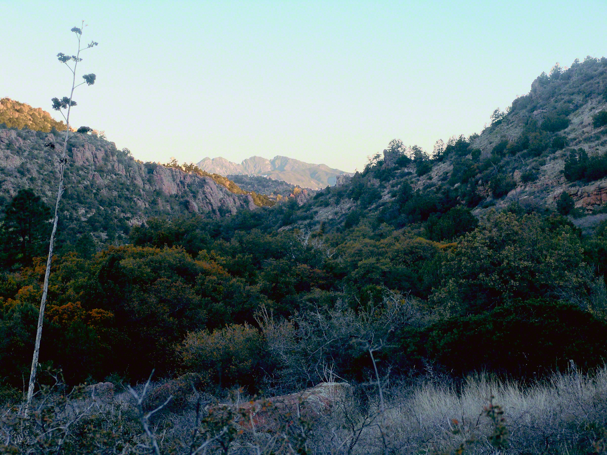
On a shallow rise above Pine Creek I took the two shots of agave (Century Plant) stalks in dawn light. These start the chapter, “A Dry Piece of Paradise.” One dry agave flower is to the left in this North view, looking down the creek not far from the creek crossing.
Click any photograph for a larger view
North View from Pine Creek, early morning
In the photograph notice how the canyon narrows as the creek flows north, the walls rising above it for hundreds of feet.
When I climbed about 200 feet above the creek to a ledge that provided great views, the protective canyon walls fell away and wind gusts threatened to up end the light tripod. It was necessary to anchor it with the daypack and I tied down my hat as well.
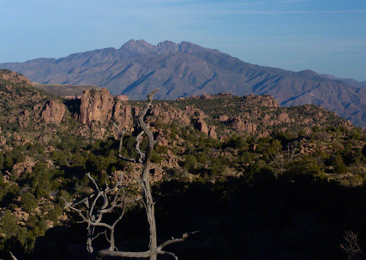
Shadows of night lie below, dominated by Four Peaks Wilderness. A unique long flat ridge is behind the near dramatic ridge above Pine Creek. This view leads me to daydreams. The long ridge is clearly visible in two photographs titled “Nameless Canyon in the Dawn” and “Nameless Canyon Morning” of my post “A Dry Piece of Paradise.” A view from the west is available in my post “Racing the Sun.” Look at the photograph captioned, “Overview of my path to the Nameless Canyon behind Two Bar Mountain,” the flat ridge is just above the shadow of Castle Dome. The view from that spot must be incredible across the lower Reavis Creek valley. From here it is a day trip 4+ mile roundtrip bushwhack over the cliffs above Pine Creek.
North View from Pine Creek
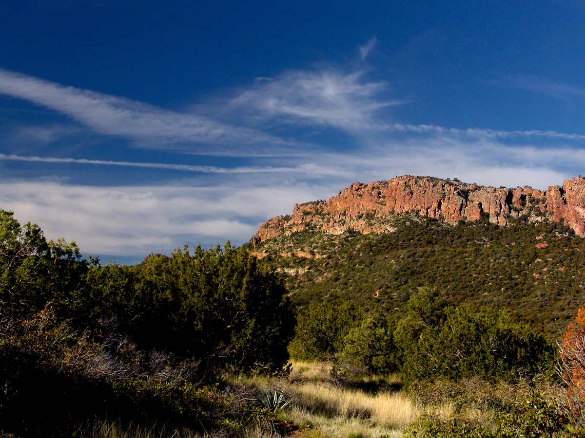
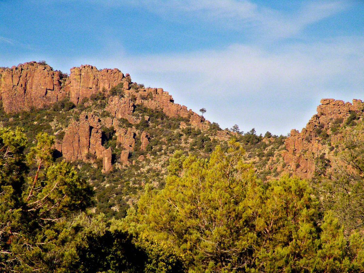
Those evergreens in the following photograph are Oneseed Juniper (“Shagbark Juniper”) of the three species common to the Superstitions, this has this spherical, bushy appearance. Here the elevation is just high enough for junipers because there are none down below. The trail crosses Pine Creek to ascend the lower slopes of these red cliffs, following it around to the west and over to the next valley, Reavis Ranch, a distance of 3.5 miles. In my “Two Meetings” blog is a sweeping view of Pine Creek Canyon, from the southern approach.
For most people a 400+ foot climb over these steep cliffs is impossible. Fortunately, a saddle to the right of this photograph is a possible route.
Southwest View from the Arizona Trail above Pine Creek
The saddle is 100 feet lower without cliffs. Still, this entrance to remote, fascinating locations is a steep 300+ climb.
A Saddle breaks a line of cliffs
“The Searcher” arrived around this time riding the buckskin gelding and leading a pinto. He saw me and my camera equipment and stopped for a chat. His plan was to follow the trail I came up yesterday to find a rumored camp with good water. The howling wind made conversation difficult. I wondered where his camp of last night was located, since there was no sign of him. Before I could ask, his cowboy hat flew away with a wind gust. He hopped off the gelding, “That’s my best beaver hat.” After a quick brush and tie-down they were off.
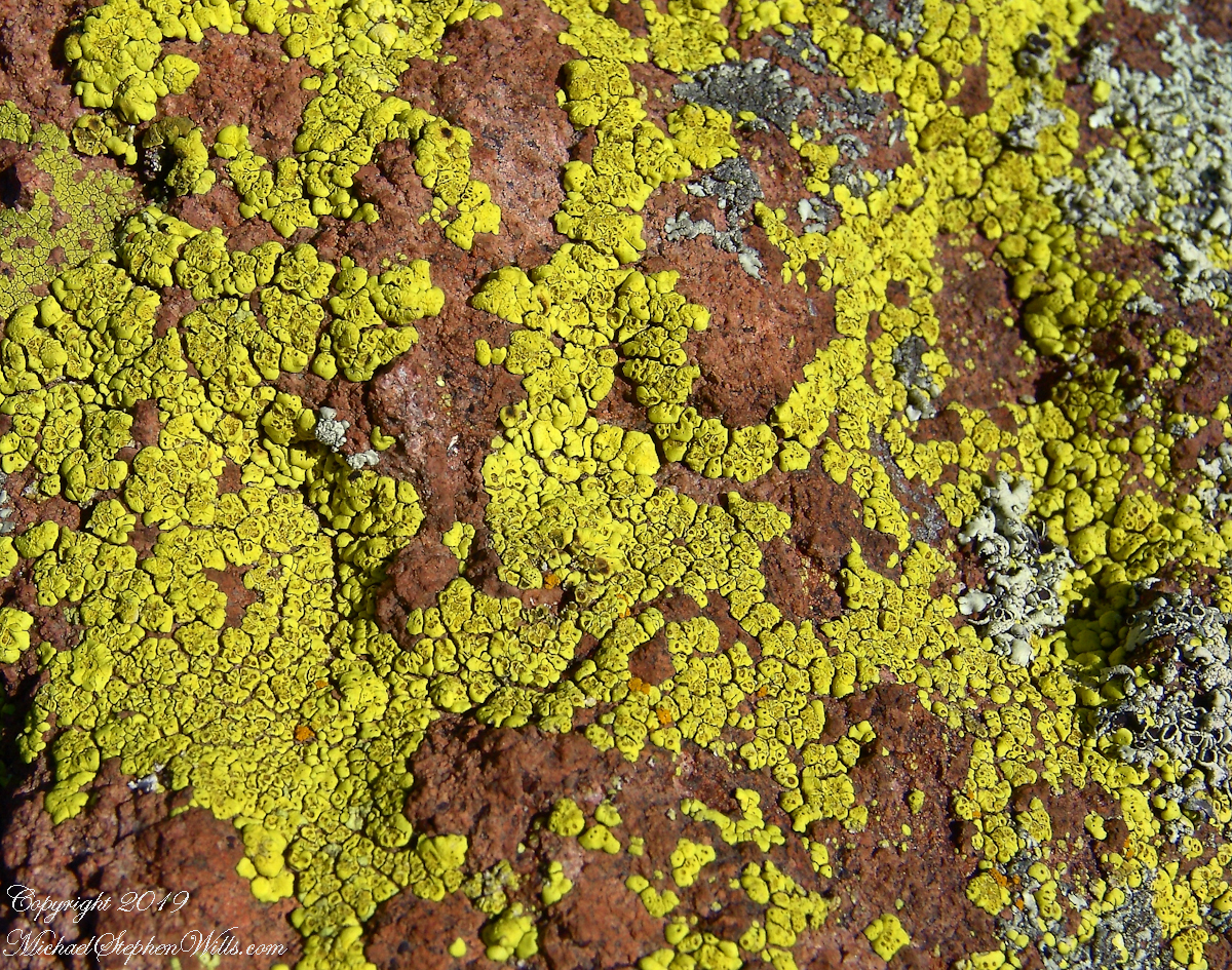
Heading back down to the creek, here is a macro of lichen that covered the crumbling surfaces of boulders that littered the slope.
Nature’s Abstract
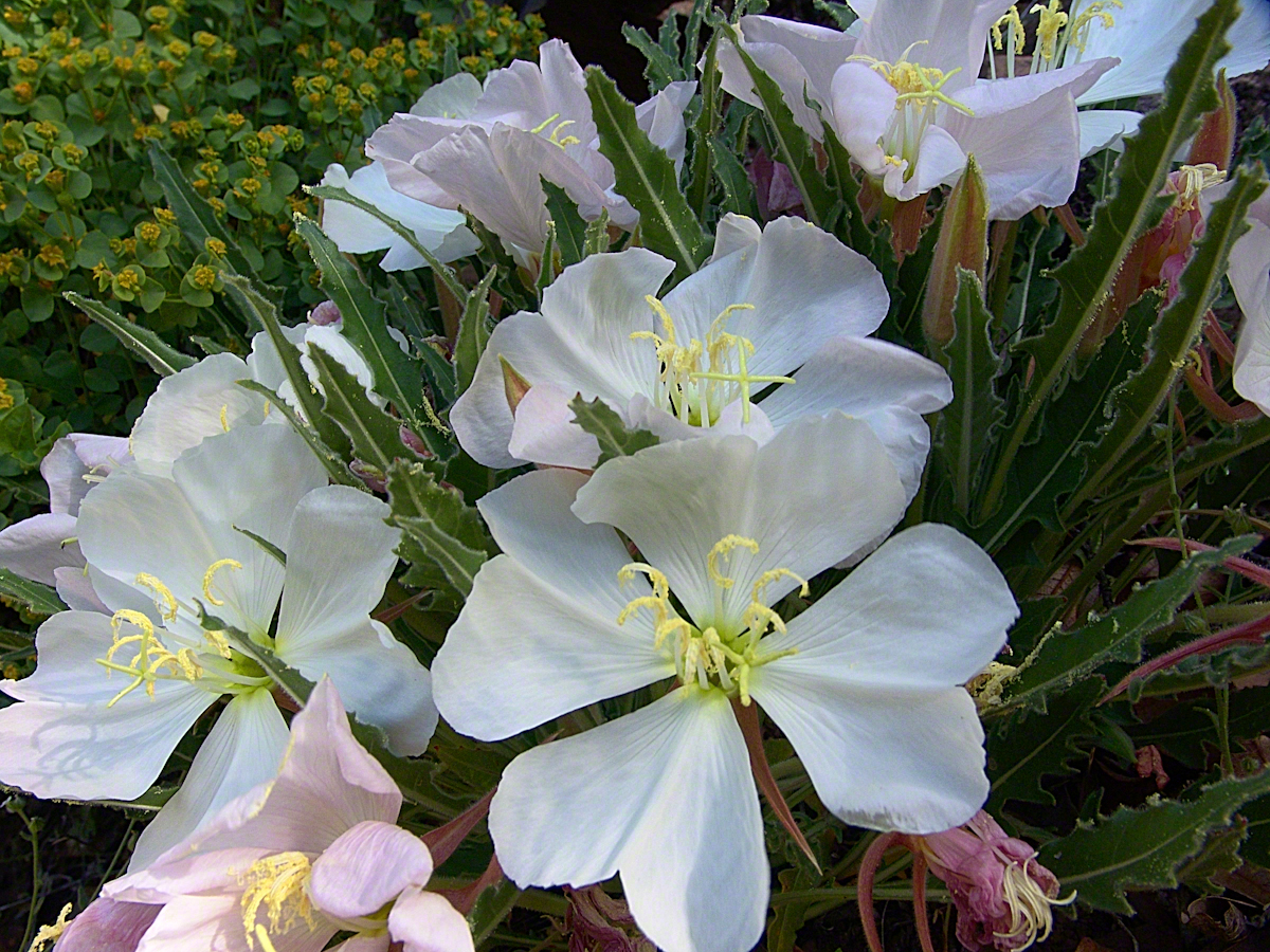
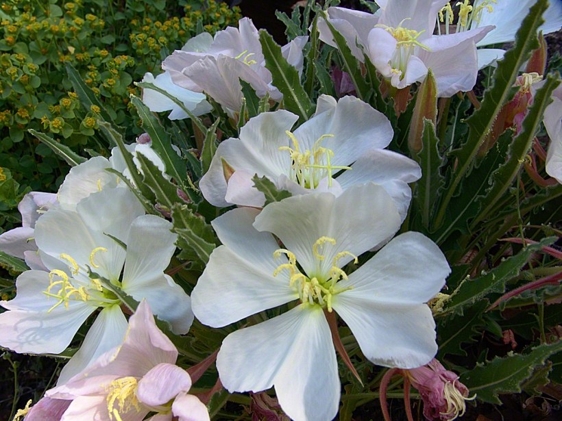
During the previous night fresh primrose blossoms opened, this one flourishing in the earth of a south facing slope. There is a reddish spent blossom at lower left. The soil here formed over eons by the action of the creek water, atmosphere and plant life. I have more about the Primrose and these yellow flowers in the background in my “Two Meetings” blog.
Pine Creek of the remote eastern Superstition Wilderness hosts this wild Tufted Evening Primrose.
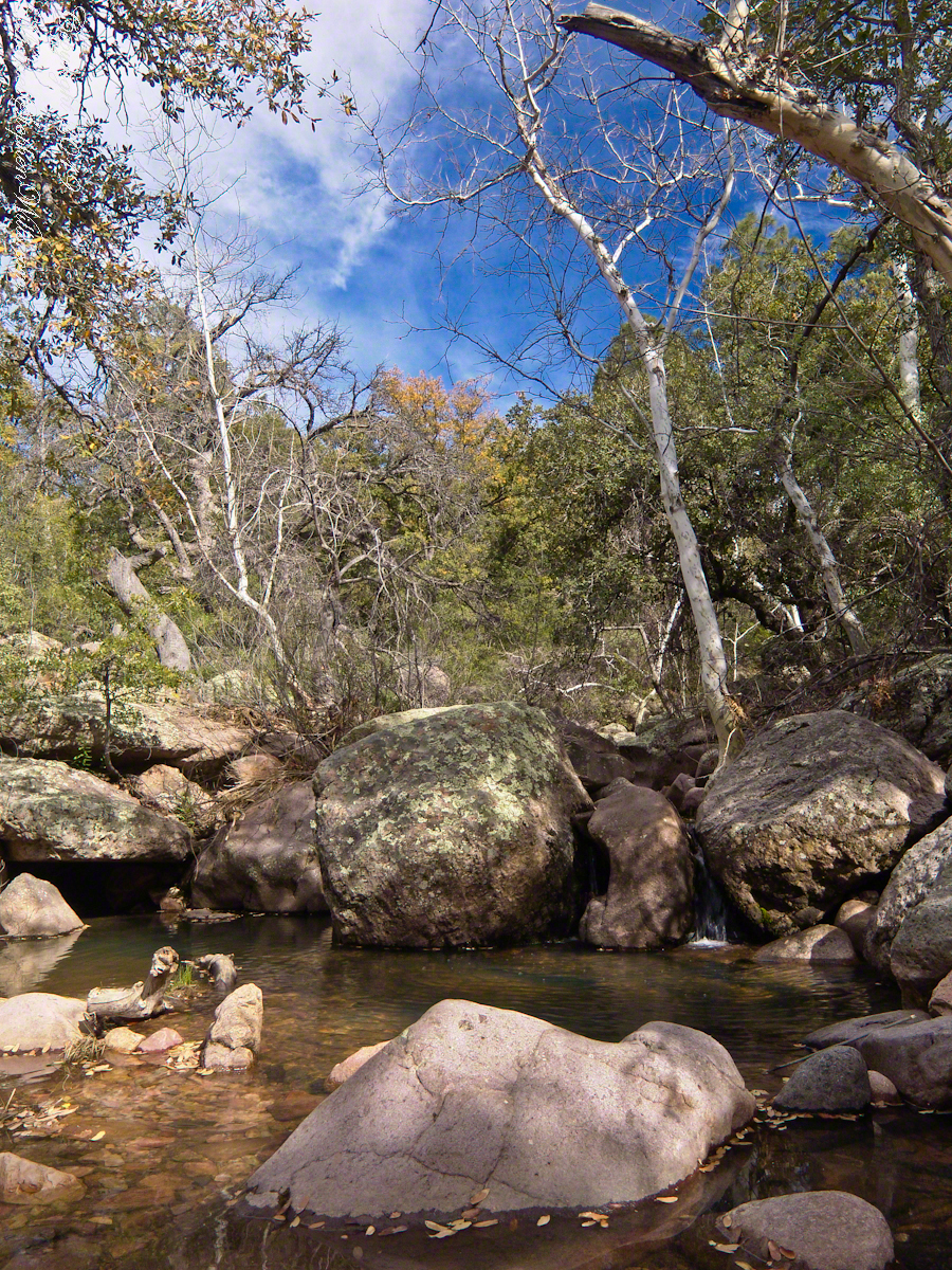
Turn left (up stream) where the Arizona Trail crosses Pine Creek and jump boulder to boulder for a hundred feet or so and you come to this view. The creek bank, covered by vegetation, rises on both sides and makes it difficult to leave the creek. Those are Arizona White Oak leaves floating along the large foreground boulder.
Pine Creek Pool with Young Arizona Sycamores
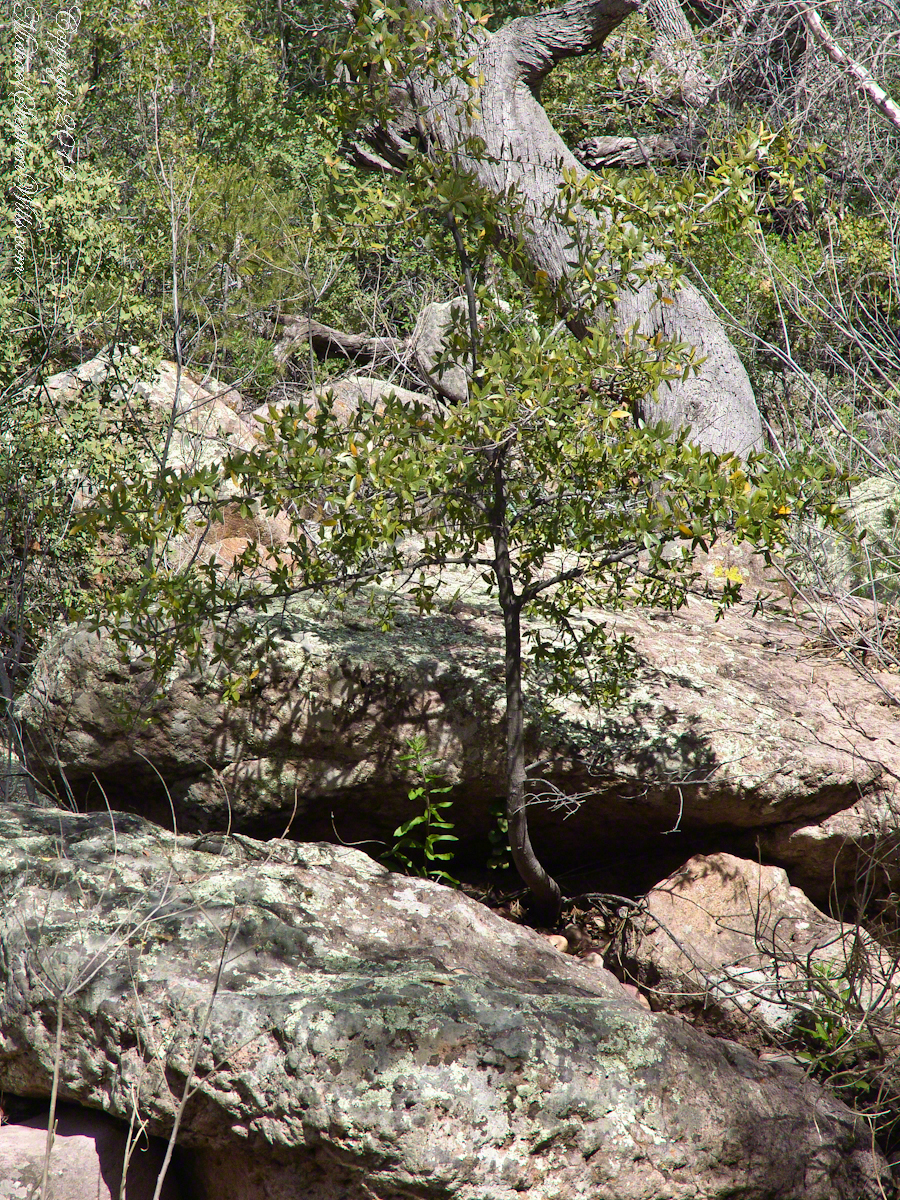
This is a very young Arizona White Oak, common species growing along the creek. The leaves are not what you’d expect from an oak, being 2 – 3 inches long in the shape of a lance blade and without obvious lobes Mature Arizona White Oak has a rough bark and, at most, 24 inch trunks.
Arizona White Oak
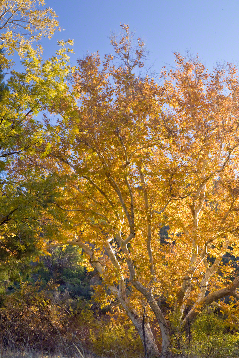
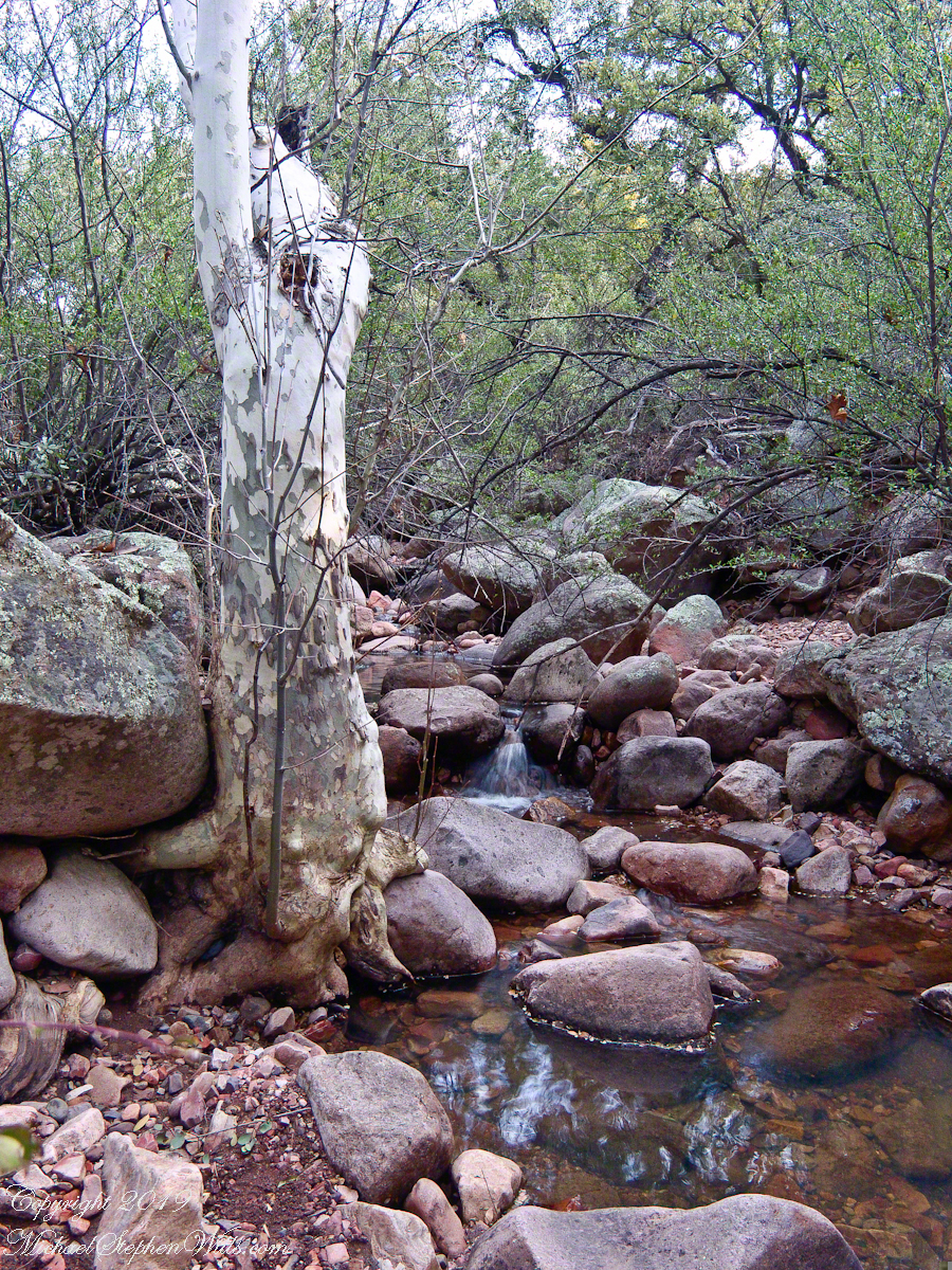
There are better examples of grand Arizona Sycamores along the perennial Reavis Creek. Pine Creek does not flow in the driest seasons, this tree sloughed its branches in order to survive. You can see from the many young Sycamores in the Pine Creek Pool photograph the previous photo the sycamores are successful in this environment.
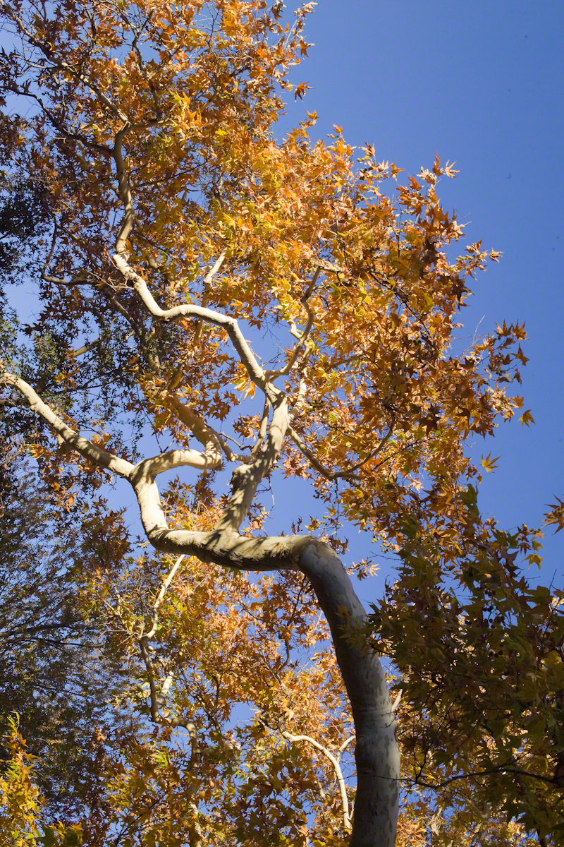
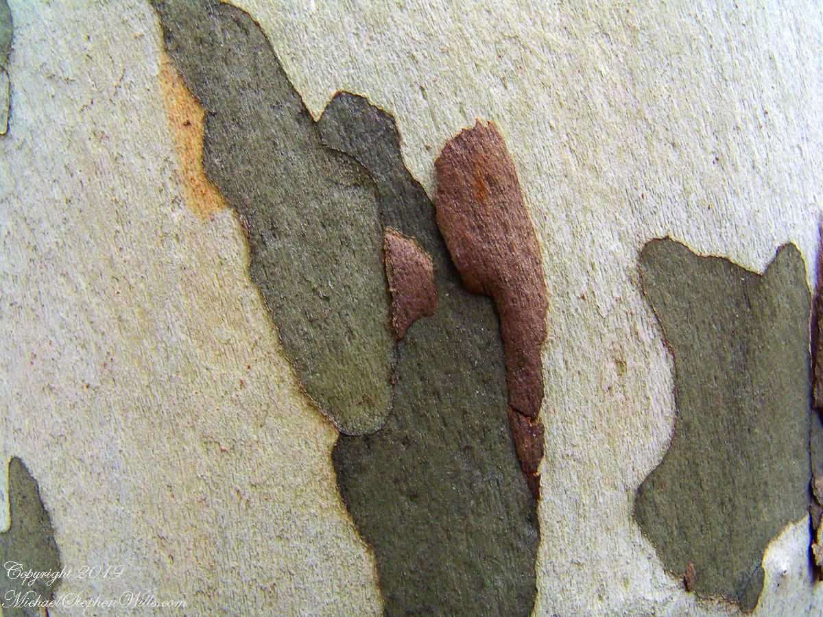
I spent some time with this Sycamore, capturing abstract patters of the bark.
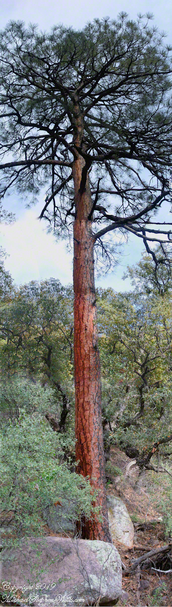
The abundance of Ponderosa Pines here demonstrate the species thrives at this altitude and dry environment. This specimen grows on the creek bank. Those are shrubby Arizona Oaks around the trunk.
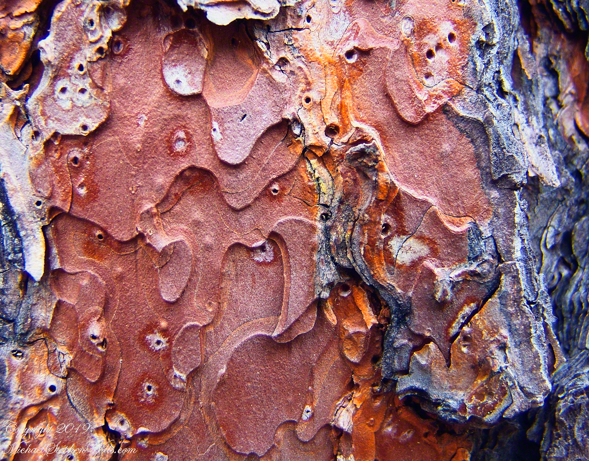
Abstract patterns in the bark of this Ponderosa. The popular and scientific name (Pinus ponderosa) for this species is from the dense weight of the wood.
The tree is over 100 feet tall. I patched together four shots for this view.
In the afternoon I explored the Arizona Trail to Reavis Ranch. It crosses the creek to ascend the cliff in broad switchbacks. Eventually it follows a contour below a cliff with fine views of Pine Creek Canyon. I turned back to leave the hike to Reavis Ranch for another day.







 Michael Stephen Wills Photography