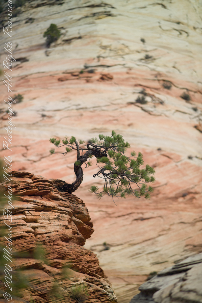
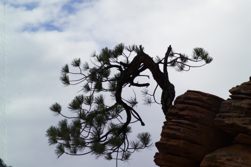
From this angle the Pinyon Pine is backed by Checkerboard Mesa slickrock.
ISO 250 1/800 sec at f/2.8
For humans travelling on foot this weather worn sandstone is anything but slippery, If we wore iron horseshoes the sense of slippery, or slick, rock becomes apparent. It was ranchers mounted on horses who coined the name slickrock.
For this shot we approached Zion National Park from the east, via route 9, past Checkerboard Mesa.
Captured with a Kodak DCS Pro SLE/c dslr and a Canon lens EF 200 mm 1:2.8 L II stabilized with the Manfrotto Studio Tripod model 475 and the 468 Hydrostatic ball head. This series explores the possibility of the iconic “Lone Pine.”
Here is a gallery of the four Lone Pine images.
Copyright 2021 Michael Stephen Wills All Rights Reserved
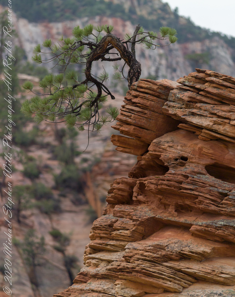
What is a Lone Pine without the sky? This specimen somewhat less gnarled than numbers 1 and 2. Here we see more of the beetling crag, layered up sediment of eons.
ISO 250 1/400 sec at f/4.0
For this shot we approached Zion National Park from the east, via route 9, past Checkerboard Mesa. Our lodging was to the east, probably the Best Western in Mt. Carmel on Rt 89. Meaning there were four opportunities for capturing memorable East Zion images over two days.
Captured with a Kodak DCS Pro SLE/c dslr and a Canon lens EF 200 mm 1:2.8 L II stabilized with the Manfrotto Studio Tripod model 475 and the 468 Hydrostatic ball head. This series explores the possibility of the iconic “Lone Pine.”
Copyright 2021 Michael Stephen Wills All Rights Reserved
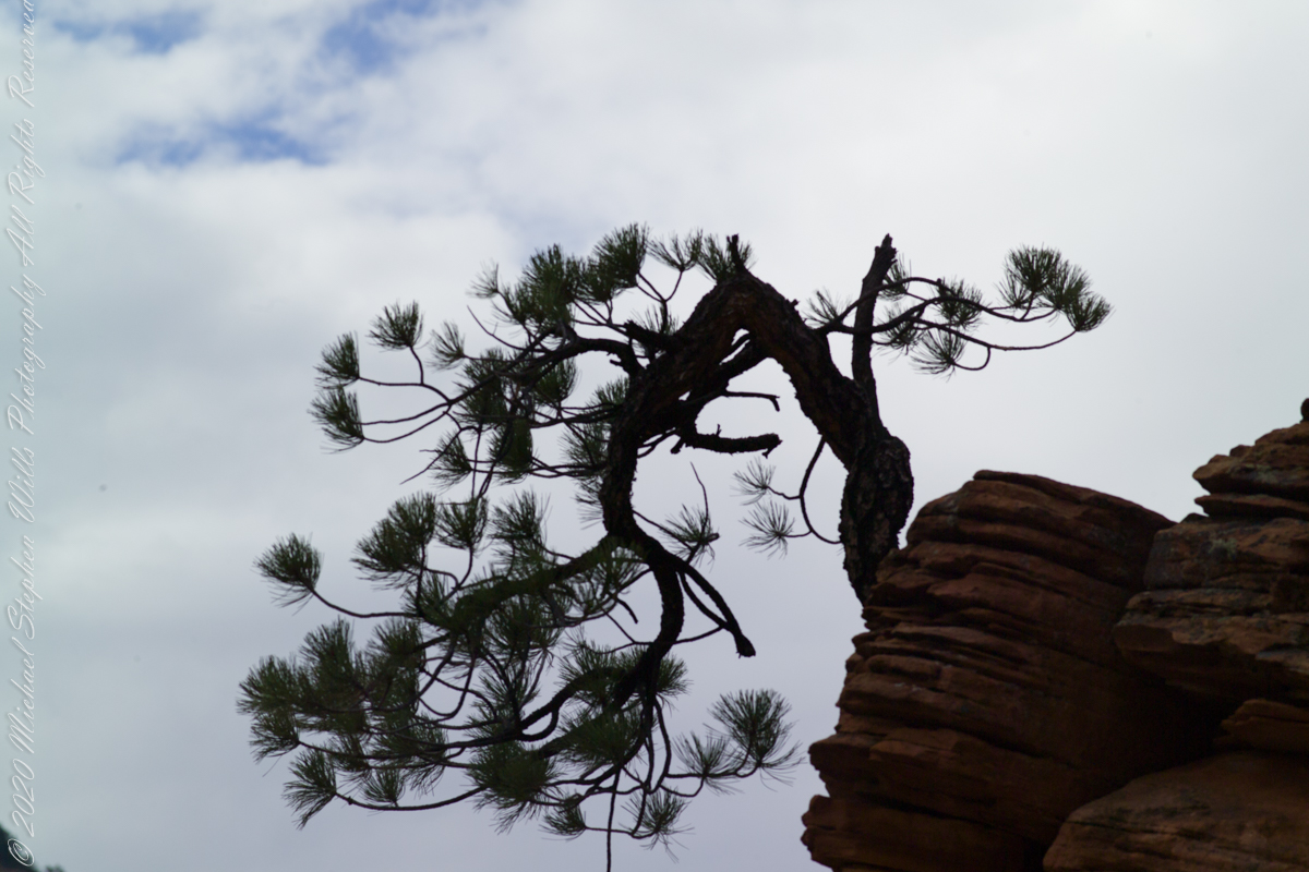
Here is the same gnarled pinyon pine of the previous post, with a sky centered exposure revealing the silhouetted wonder.
ISO 250 1/1000 sec at f/7.1
Captured with a Kodak DCS Pro SLE/c dslr and a Canon lens EF 200 mm 1:2.8 L II stabilized with the Manfrotto Studio Tripod model 475 and the 468 Hydrostatic ball head. This series explores the possibility of the iconic “Lone Pine.”
Copyright 2021 Michael Stephen Wills All Rights Reserved
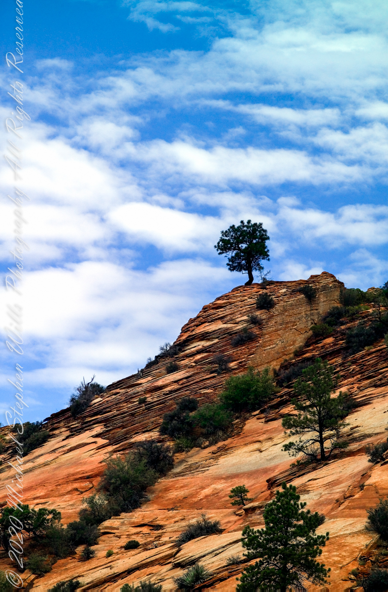
The eastern approach Zion Canyon is a national park unto itself, route 9 passes through otherworldly landscapes.
ISO 250 1/1000 sec at f/2.8
Captured with a Kodak DCS Pro SLE/c dslr and a Canon lens EF 200 mm 1:2.8 L II stabilized with the Manfrotto Studio Tripod model 475 and the 468 Hydrostatic ball head. This series explores the possibility of the iconis “Lone Pine.” Here the tortured existence of this organism is rendered plain.
Copyright 2021 Michael Stephen Wills All Rights Reserved
Imagine walking across the ranch house ruin towards where I described the former pond. Looking to the east and north from the elevation you see this sight.
In the near distance a grass pasture slopes into Reavis Creek. The creek has flowing water in all but the longest dry seasons. By the way, the trail from Pine Creek is on the slopes of that conical feature in the distance, to the left.
Click any photograph for a larger version.
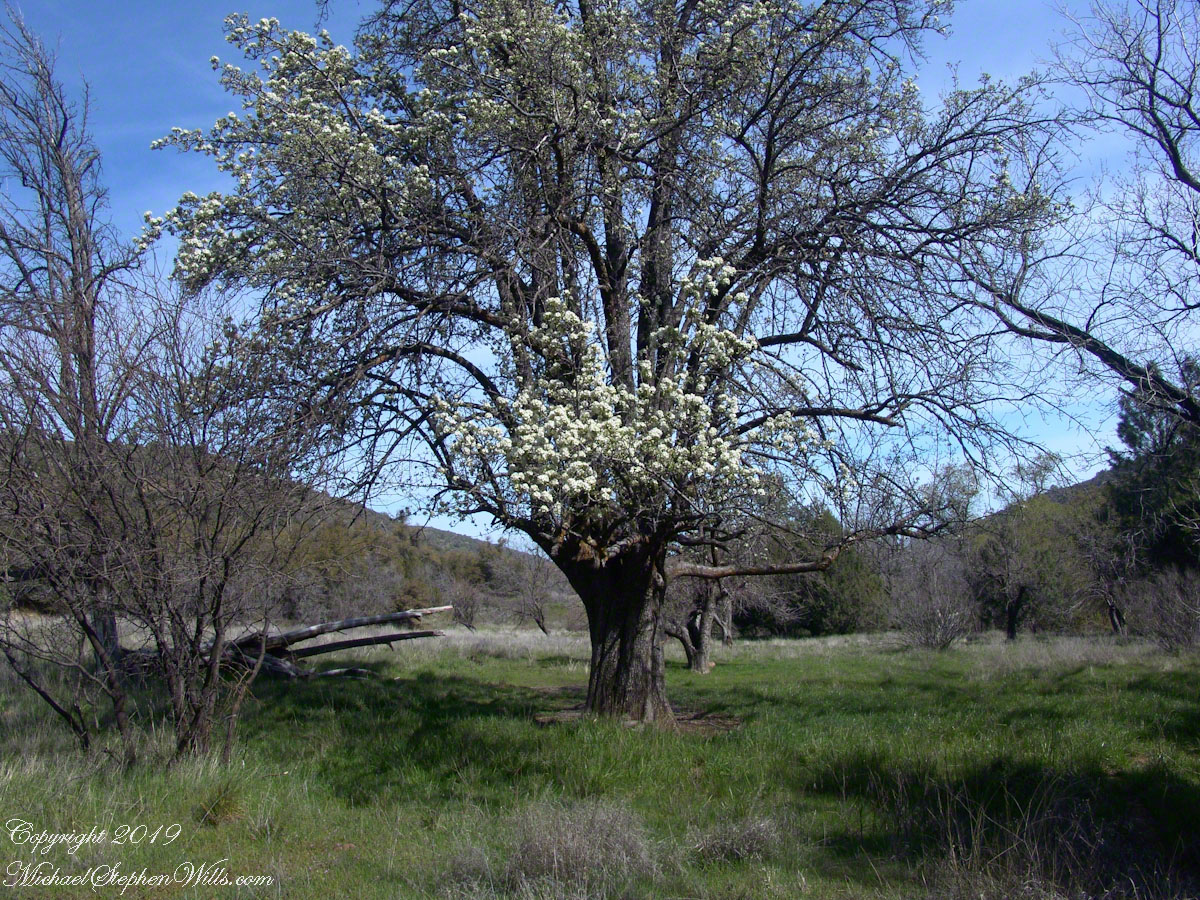
Looking from the former house site towards the Arizona Trail running beneath the distant red rock ridge. Not the fence rails on the left and apple trees in bloom.
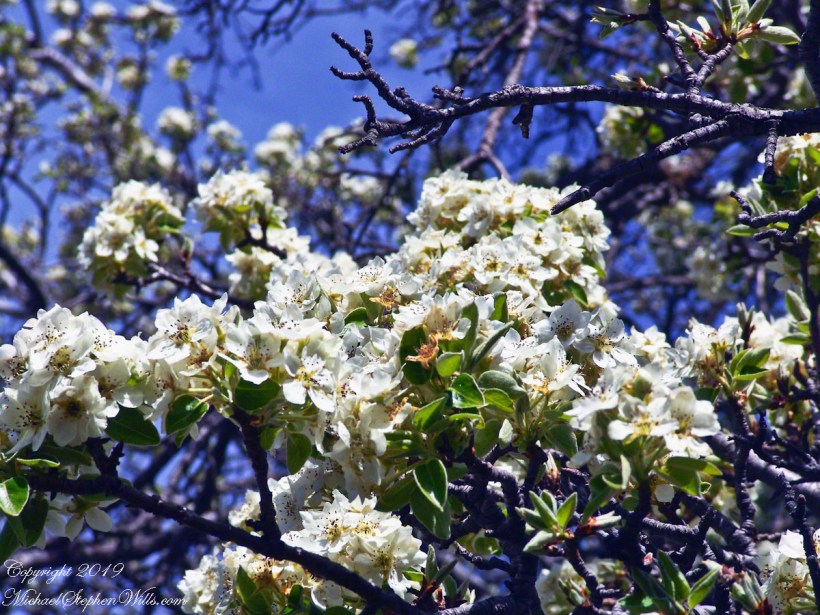
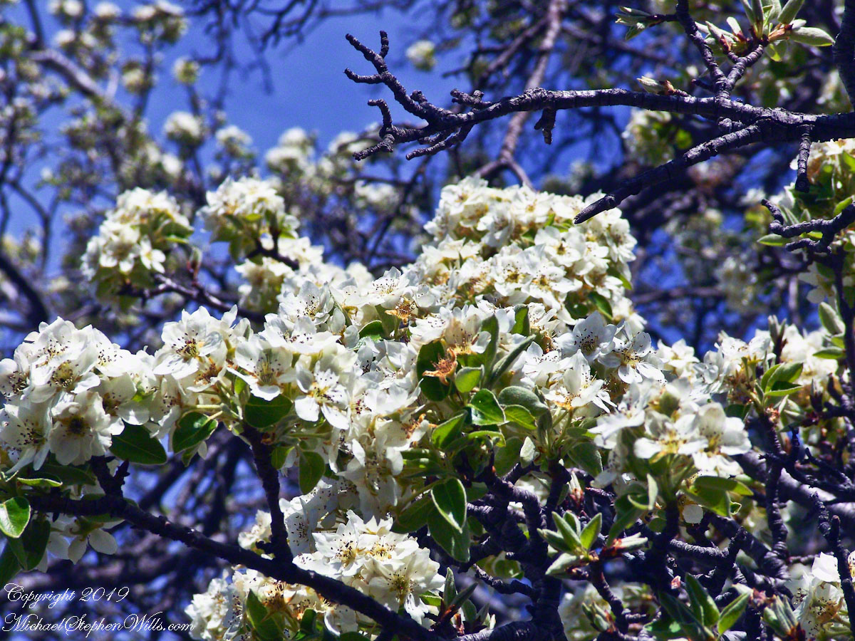
From the ruin, walk down the Arizona Trail, south, for a few hundred feet and turn left into the fields to encounter the same apple tree, and a close up of pure white apple blossoms.
Portrait of a Blooming Apple Tree
At Rest and History
This tree is an outlier of a thick stand of several hundred trees to the north. The Searcher and I rode into the middle of the grove for a rest and chat. The horses were allowed to graze in the abundant new grass brought on by the winter rains.
The Searcher told me the story of the valley and that it was a man named Clemans who planted 600+ apple trees, trees in bloom all around us. The Reavis Valley was long a site of agriculture, starting in the 19th century with Elisha Reavis, who passed away in 1896 and is buried on the slopes of White Mountain, and continued with a series of ranchers and entrepreneurs in the 20th: John Fraser, William Clemans, who planted the trees, and John A. “Hoolie” Bacon, then Bacon’s son-in-law Floyd Stone who sold the land to the U.S. Department of Agriculture in 1967.
We talked about some earthwork I noticed, in the southern part of the valley. It was part of a water system that diverted Reavis creek flow at the head of the valley to the ranch house. We decided that strange hexogonal structure on the elevation above the house ruin was the site of water storage. At that location the structure would provide a pressure feed for the house and much else.
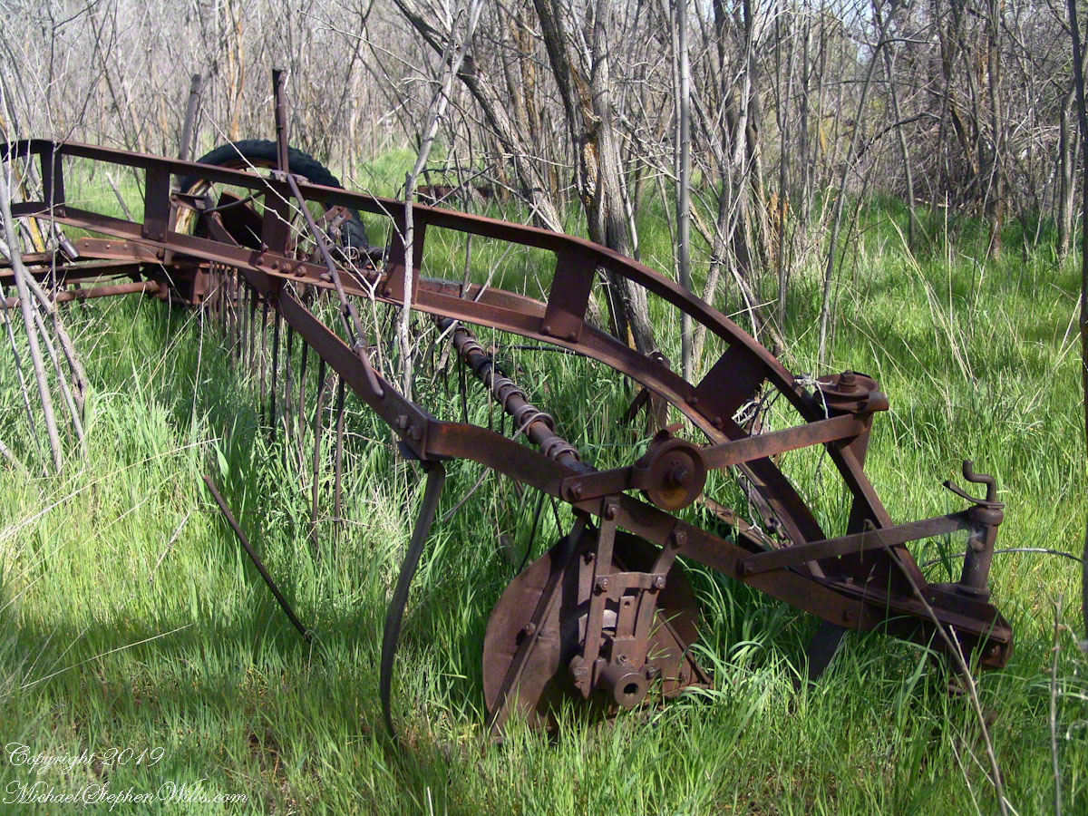
Abandoned Hay Rake
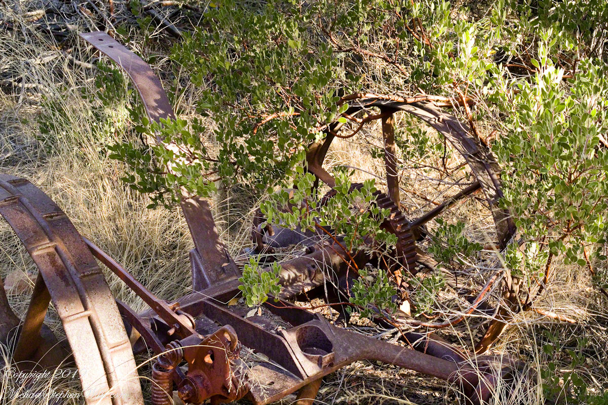
A mix of winter rains and fertile soil were exploited in the Reavis Valley for a handful of decades, the enterprise now is set aside. This abandoned hay rake and chassis, used to harvest grass in seasons past, is evidence of the work. The apple trees produce to this day without irrigation.
The Searcher touched upon the subject of the “Circlestone” ruin he mentioned on our morning ride. He had never been there, but mentioned some books on the subject. It is a wide circle of rough stone wall enclosing mysterious structures. At this point, I was hooked, and decided to check Circlestone on a later trip. Here are some photographs from one of those trips, in November 2006.
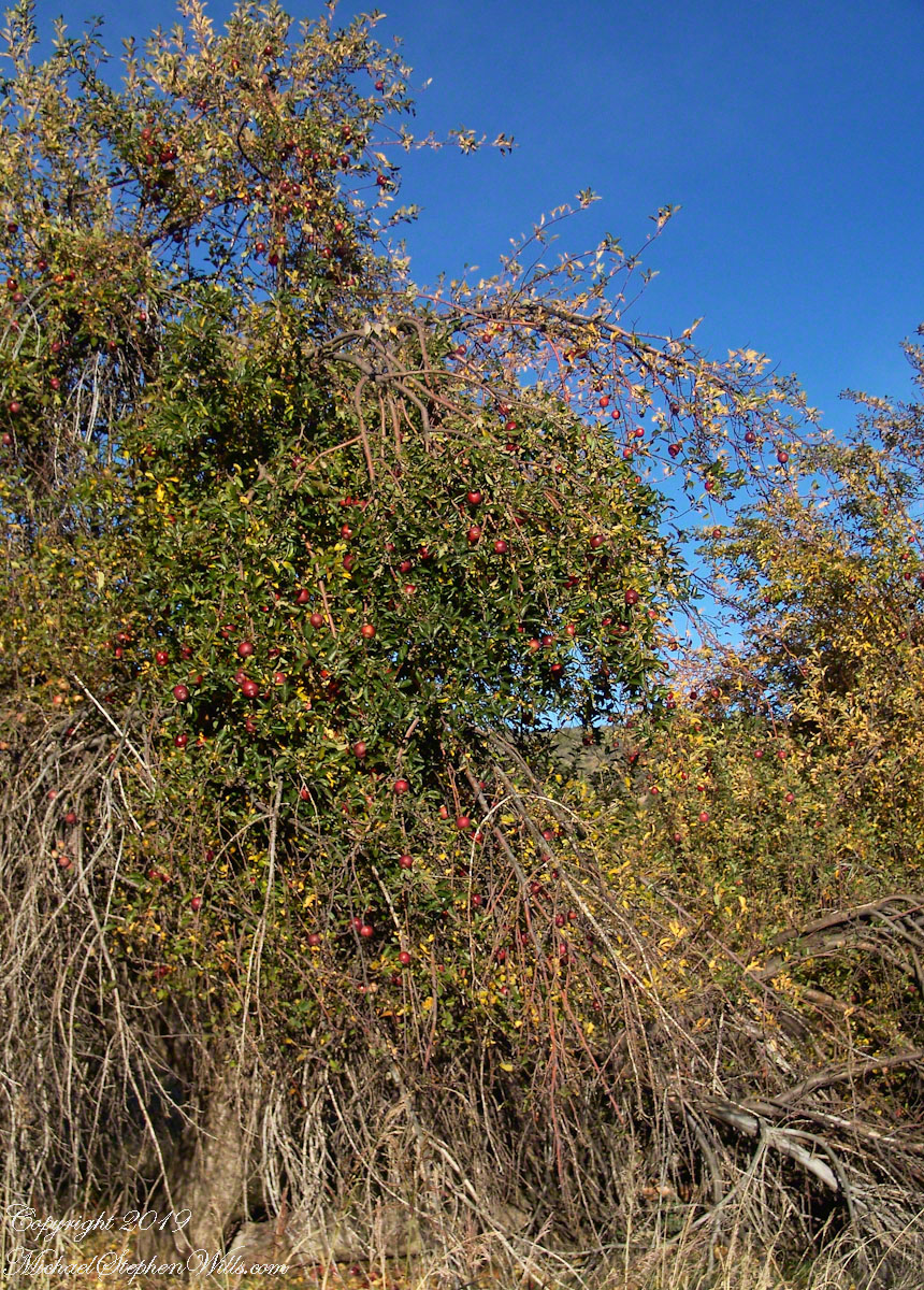
Reavis Ranch Apple Orchard Tree
Reavis Ranch Apples Yellow
Reavis Ranch Apples Red
In my next post The Searcher and I return to Pine Creek, Colorado gives me some trouble and we visit a stand of wild oats in the Reavis Gap.
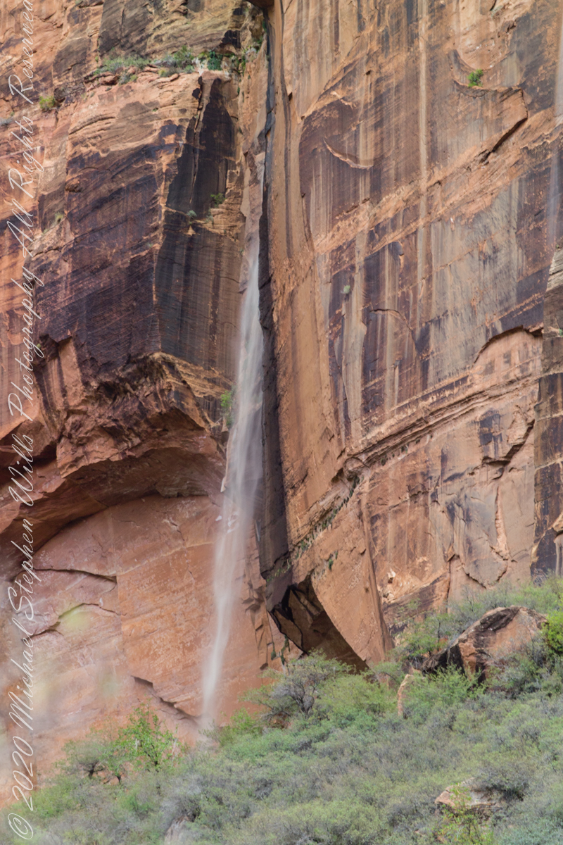
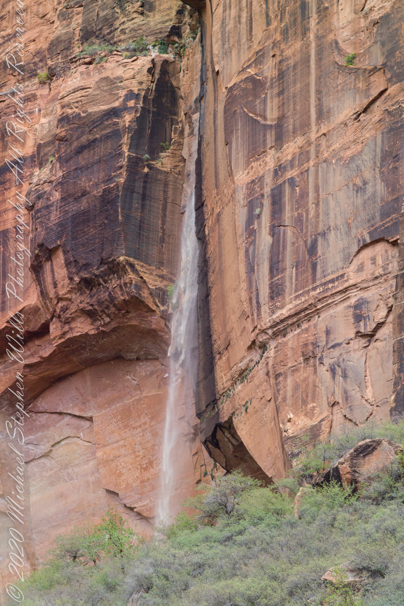
Rainwater from distant thunderstorms on the vast Colorado Plateau emerge from a cliff wall, Zion Canyon. The fall will last for a few hours, we bore lucky witness as do my images shared below.
1/15 sec at f/8.0 ISO 160
Captured with a Kodak DCS Pro SLE/c dslr and a Canon lens EF 200 mm 1:2.8 L II stabilized with the Manfrotto Studio Tripod model 475 and the 468 Hydrostatic ball head. I prefer the details of misting water at the widest lens aperture, focus is clear throughout the plane, excepting some foreground brush.
1/125 sec at f/2.8 ISO 160
Copyright 2021 Michael Stephen Wills All Rights Reserved
One weekend my nephew Chris and I backpacked to Peaked Mountain Pond, the Adirondacks wilderness, in the rain. My son, Sean, was to meet us later. The constant rain made the easy trek into a slog. Our attitude improved after the tents setup and the fire. The skies clear to a brilliant display of the Milky Way away from light pollution.
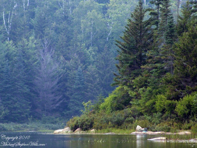
Peaked Mountain in the light of an August dawn taken from the west pond shore. Siamese Ponds Wilderness, Adirondack Park, New York State. At 2,919 feet, Peaked Mountain is a modest height though it rises an impressive 675 feet in 0.4 mile.
Looking north across Peaked Mountain Pond from the west shore shortly after dawn.
Click the photograph to visit my Fine Art Gallery
We used the canoe as a punt, using a solid branch to push around the shallow pond for short distances, after bailing.
Click the photograph to visit my Fine Art Gallery
Mid-morning, we headed up the trail to the peak. I caught this orb-weaver spider web on the way.
Click the photograph to visit my Fine Art Gallery
…and a detail. Technically, this is a macro. Did not wait around for the owner.
Click the photograph to visit my Fine Art Gallery
Later, in the afternoon, Chris caught some Zzzzz’s in a time out from water gathering. We pumped water through a filter, this is necessary throughout New York State to avoid giardia infection.
Click the photograph to visit my Fine Art Gallery
The ultimate in peace and tranquility, though disturbing a hornet pollinator can lead to excitement. This water lily bloom was caught with a tripod mounted long lens. Look closely for the hornet at work inside the flower. HHealthy water lily leaves are the epitome of tranquility because they are always clean, giving the illusion of tranquility. Scientists study water lily leaves to learn how the leaf surface sheds dirt. Imagine self-cleaning cloths.
Correction: it is the Lotus leaf, not lily pad, that is self cleaning.
Looking for the perfect photo for your web site and blog?
Browse my reasonably priced stock photography. This blog features seven (7) photographs I published today to Getty Istock and my Fine Art gallery.
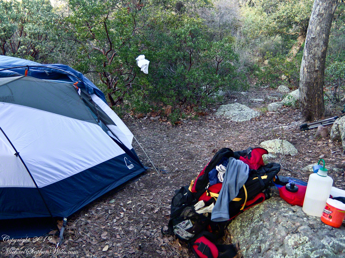
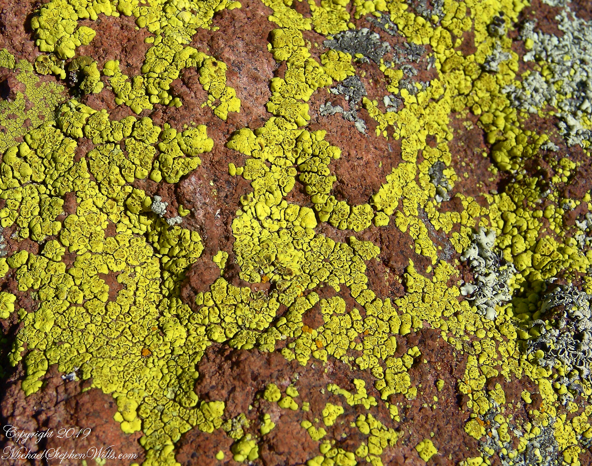
My third wilderness evening was unlike the others. I rested with an unhurried exploration of the camp area. Underfoot was a scatter of dry oak leaves, acorns on hardened desert soil not much softer than the numerous lichen encrusted boulders, all of which formed a bench above Pine Creek.
Pine Creek Camp Overview from a large lichen encrusted boulder
Pumping a gallon of drinking water though the ceramic filter takes more time than meal preparation. The four gallons I packed up were almost used and I enjoyed the luxury of pumping two days supply, 3 gallons in all and planned to down a quart or two of “gator aid” before dinner with the luxurious enjoyment of a flowing Pine Creek for company.
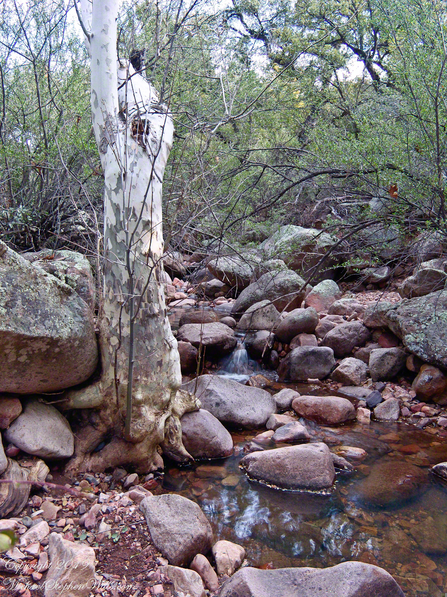
Pine Creek is the most common type for Arizona, recurring. To recur means to happen periodically or repeatedly and, for streams, this means for part of the year no water flows. For these days the flow was low, the water clear, what was left from the plentiful winter rains of 2004/2005.
Looking east toward Manzanita thickets with the unpacked backpack foreground
The wind gently rustled the manzanita and the sun just above the western cliffs as I settled on a boulder to enjoy a quart of fluid. I mulled over my next steps.
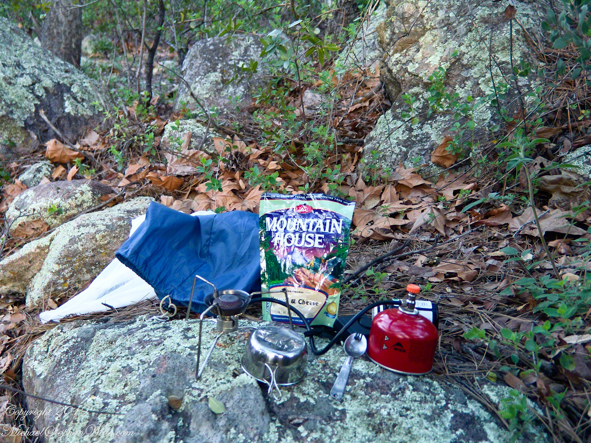
The kitchen: a very light gas burner, spork, dehydrated food with cup for beverages
Initially, the plan was to walk across the Superstition Wilderness, starting on the remote eastern end and emerging on the populated west side, in the Lost Dutchman State Park. My sister expected me there on day 10, but today was the end of day three. I didn’t know at that time the climb on my second day was the steepest of the wilderness and the way forward was much, much easier.
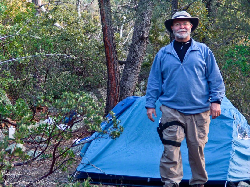
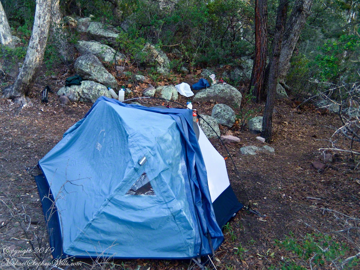
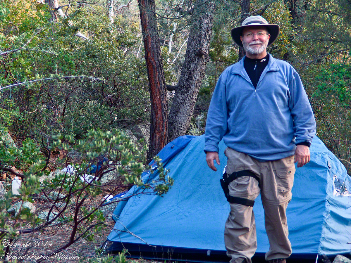
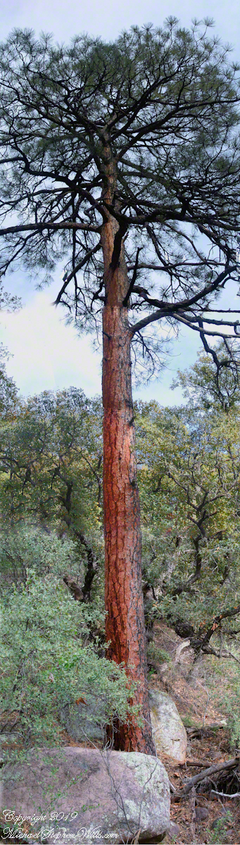
Looking west toward pine creek, manzanita branch foreground and thickets all round, young Ponderosa Pine, Arizona Oak behind tent.
Before a decision could be reach, my thoughts were broken by a different sound from the manzanita: several horses approaching on the trail.
Here is a photographic recap of the previous Superstition Wilderness postings as a gallery. You can page through the photographs.
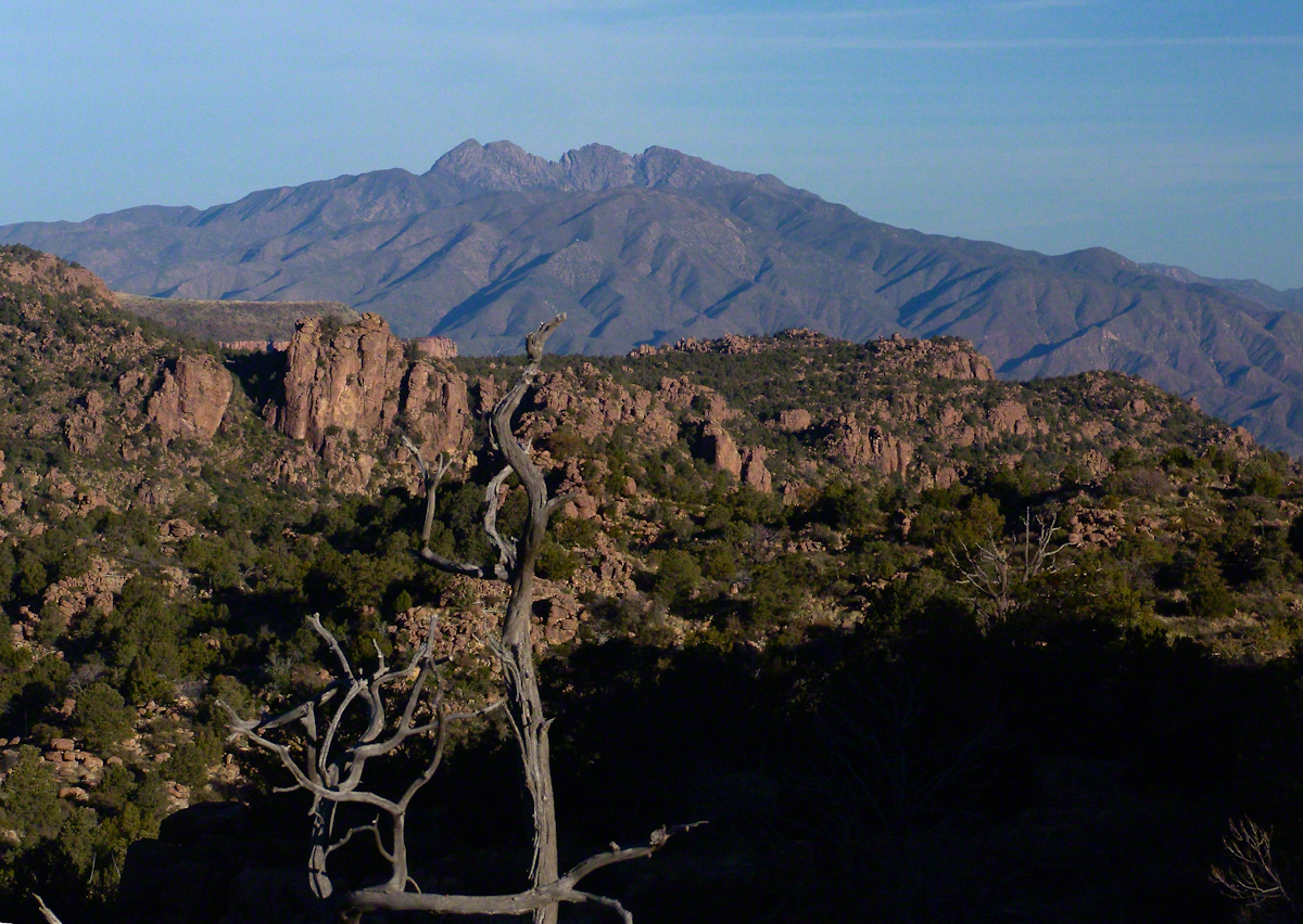
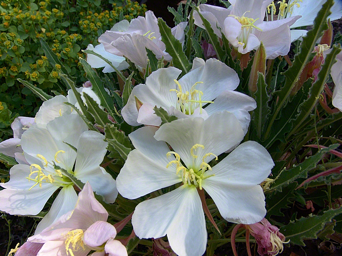
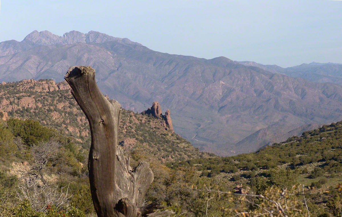
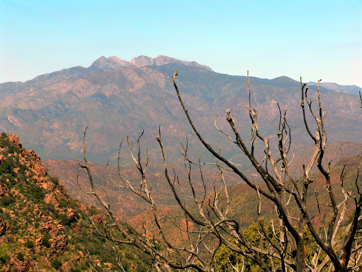
View to the southwest on the Arizona Trail above Pine Creek.Pine Creek of the remote eastern Superstition Wilderness hosts this wild Tufted Evening Primrose.The Arizona Trail passes this spot in the remote eastern Superstition Wilderness. This is the view of my path up from Nameless Canyon. In the distance is the Four Peaks Wilderness Area.Superstition Wilderness, Arizona
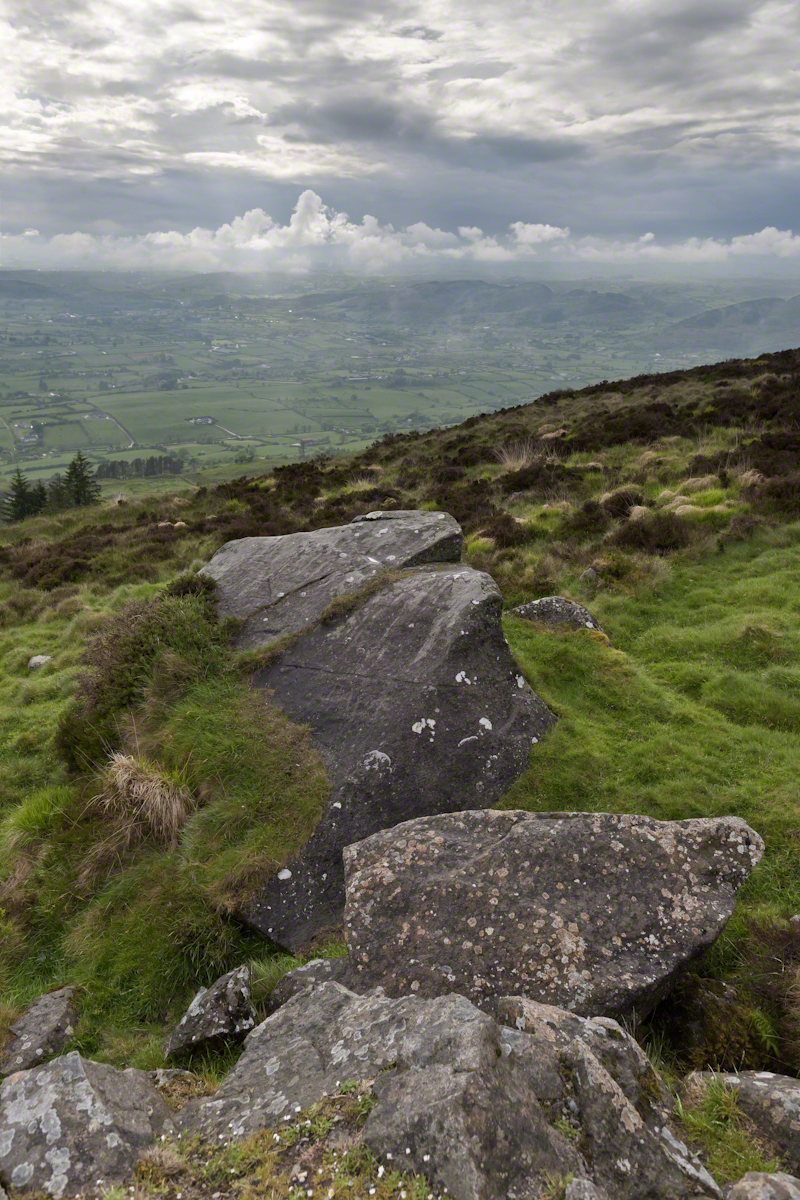
Yesterday, I simultaneously published nine photographs on my ImageKind Ireland Gallery and Getty IStock (click the links to visit): nine views taken from the slopes of Slieve Gullion.
Sunday, May 25, 2014 was a happy day for Pam and I. It was the first full day of an eighteen (18) we filled with Ireland, travelling in a loop of the island following the coast from, naming the counties where we spent time on the ground, Louth, Armagh, Dublin, Meath, Wicklow, Cork, Kerry, Claire, Mayo, Antrim, Down and back to Louth. The counties of Northern Ireland are in italics. Indeed, at this time the politics allowed us to travel freely between the Republic and the North. That day, our morning was spent in Louth attending mass, enjoying our first meeting with the family over a substantial mid-day meal (click the link for my Facebook album of the meeting). We split off that afternoon to visit the home of my cousin, Mary and her husband Joseph in County Armagh, just over the border. When Joseph offered to drive us over to Slieve Gullion it was totally new to us, we had no conception of the place or what to expect.
It was such a gift, we are grateful to Joseph for this experience. Only in 2018 when, at 64 years of age and retired”, was I able to research the place and spend time developing the photographs for publication. Two of the photographs illustrate this posting, to view the others in my online gallery, click either photograph.
Slieve is the Irish language word for “mountain.” Slieve Gullion is a lone eminence, one remnant of volcanic eruptions about 60 million years ago during the rifting of continents that produced the Atlantic Ocean. Around the mountain is the Ring of Gullion, a string of hills, 26 miles by 11 miles, surrounding the mountain and formed from the ancient collapse of a volcanic caldera. The technical name for it is a Ring Dyke and it was the first of its kind to be recognized and mapped, well before the nature of the formation was understood of be volcanic. The name Gullion is derived, in one formulation, from the name of the metalsmith, Culann. In Irish Myth, Culann’s home and workshop was on the slope of Slieve Gullion. A wealthy and respected personage, Culann invited Conchobhar mac_Neasa, king of Ulster to feast. During his approach to the mountain, passing through the surrounding plain, the king stopped to watch boys play hurling. Among them was the future hero of Ulster, the young Sétanta. Impressed with Sétanta athletic abilities, the king invited him to join in the feasting at Culann and the boy promised to follow after the game. Later, while climbing the mountain to fulfill his promise Sétanta was attacked by the guard dog of Culann. The myth says the dog was killed by Sétanta in self-defense. Never the less, in compensation to Culann, Sétanta committed to rearing a replacement and to act as guard dog in the meantime. In this way he became known as Cu Culann, “the dog of Culann.” Click for more about Cu Culann.
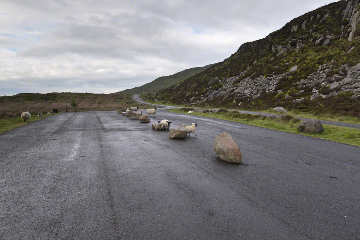
On the summit two cairns north and south of a small lake, tangible proofs of ancient peoples and beliefs. The north cairn is a more ancient passage grave, 90 feet wide, 16 feet high, the opening aligned with the setting sun on the winter solstice. The cairn north of the lake is less ancient containing two cist burials. For our visit Joseph drove us along the 8 mile drive. The following is an image of a viewing platform and the road. Just beyond, on the right, where the ridge meets the road, is the trail to the 1,880 foot summit of Slieve Gullion. Our arrival disturbed sheep resting on the asphalt. I’d have loved to spent a day climbing the summit, but it was not to be this trip.
The way is part of the Slieve Gullion Forest Park. Throughout are turnoffs to admire the view. It was during our frequent stops I pulled out the photography gear to grab the views. Here is one, looking southwest. For the other views, click either photograph to visit my Online Gallery of Ireland.
Copyright 2021 Michael Stephen Wills All Rights Reserved
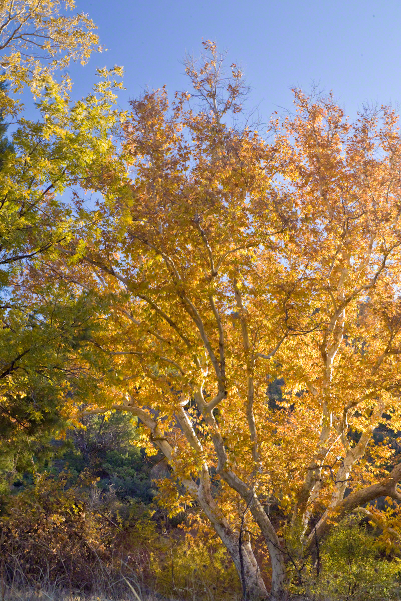
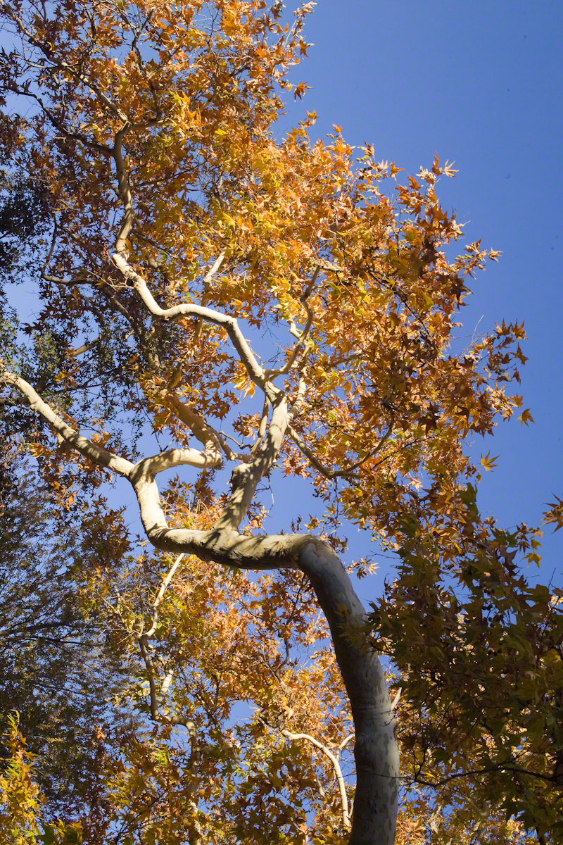
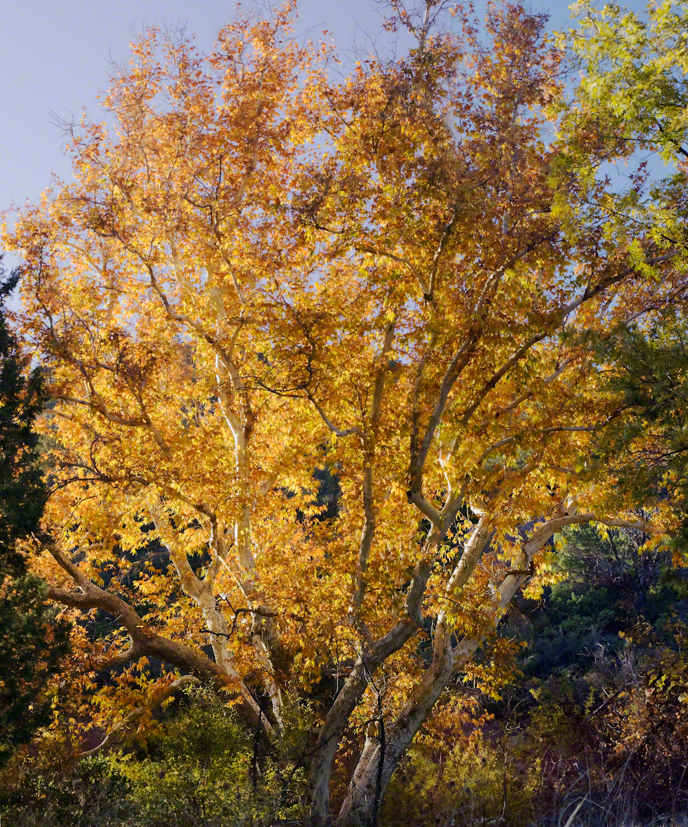
Compare these Arizona Sycamores with the struggling specimen from the last chapter, “A Peaceful Day at Pine Creek.” Many Sycamores such as this one flourish along Reavis Creek, a perennial stream of the eastern Superstition Wilderness. The drainage that feeds Pine Creek is far less acreage than that of Reavis Creek and, when the Pine Creek flow fades in the driest seasons, plants go into survival mode and halt growth and may even slough off limbs to conserve water.
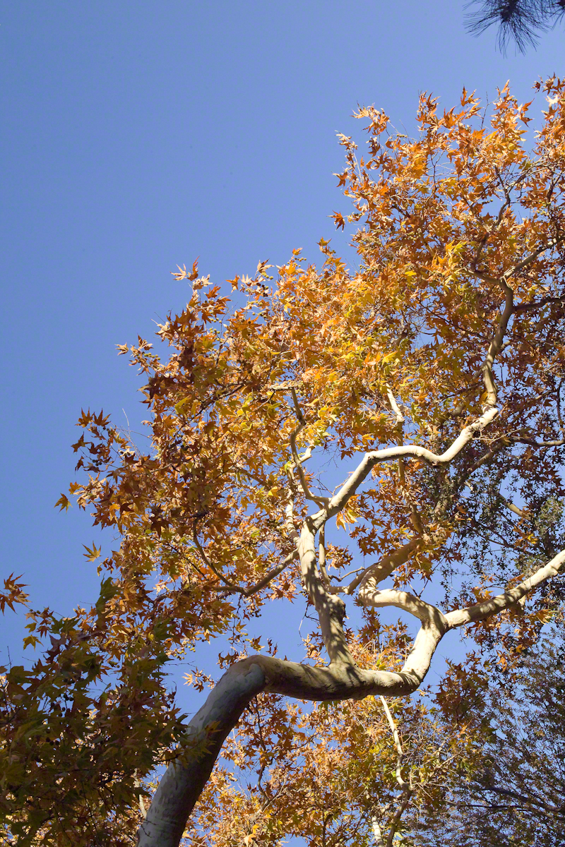
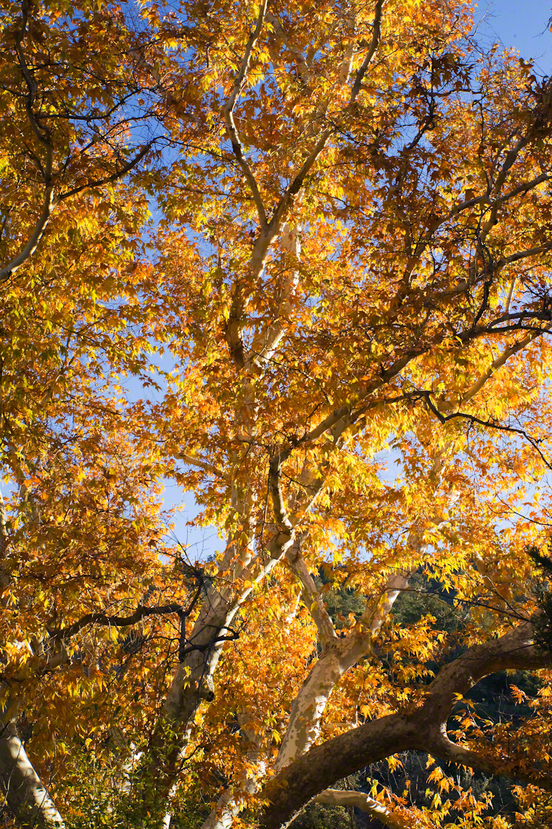
These Sycamores grace a stream that seldom stops flowing, even in the driest of seasons. I had the good fortune to visit the Reavis valley of the Superstition Wilderness in November 2007, when these trees were at peak autumn foliage.
The tree requires a supply of water to thrive. This specimen demonstrates the species growth habit growing multiple trunks with a shape driven by water availability and the environmental context. The multiple trunks may be a desert survival mechanism. In dry periods a trunk or trunks are sloughed off to reduce moisture loss. This is why the Sycamore of “A Peaceful Day at Pine Creek” has a single trunk.”
To encounter a riparian space of the Arizona desert is a revelation, to progress from Sonoran desert spaces assailed by the breath of dry wind, to see the first signs of water in the distance as a welcome fluttering of leaves, to feel a welcome odor of water.
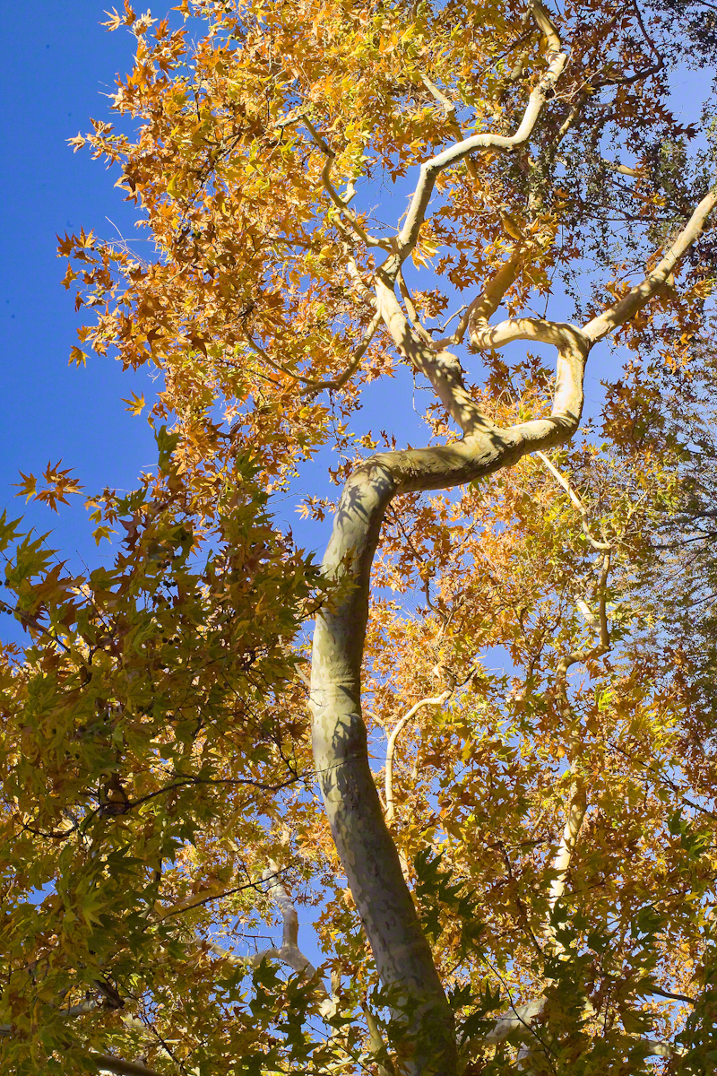
Yes, the first effect of a riparian space on the senses is the smell of water. Let’s finish this post with limbs of the Reavis Creek Arizona Sycamore reaching for the sky.