Racing the Sun

Through that afternoon the wind gusts hit me as a physical force like a cat playing with her next meal.

superstitionspring_copyright_640
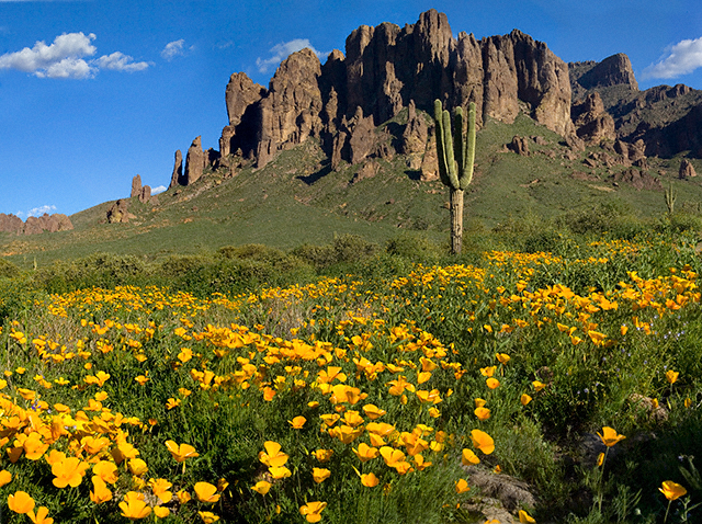
Mexican Poppies bloomed in profusion throughout the Superstitions after the plentiful winter rains of 2008.
Want more? Click for my OnLine Gallery

The four mile climb up the 2,000 foot eastern Superstition Wilderness bajada and escarpment consumed the morning and much of the afternoon.  It was the 80 pound backpack that did it.  Ten days of supplies, tent, equipment and 3.5 gallons (28 pounds) of water; enough food for a trek across the Superstition Wilderness, water enough for two days.  One day in, one day out if the water could not be replenished.  Mine was a water commitment, enough water storage to allow two days to trekking to another source.
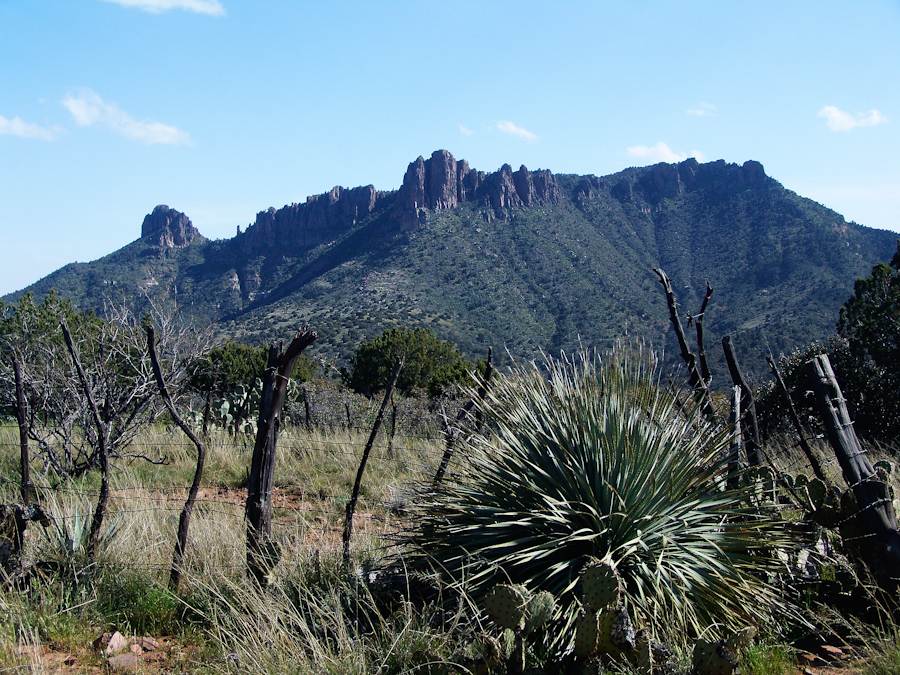
Two Bar Mountain
Two Bar Mountain from Tule Canyon trail with corral made from mesquite trunks and barbed wire. Yucca and prickly pear in foreground.

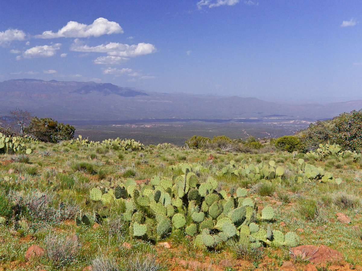
Here the canyon rim view from atop the escarpment…..
viewtoeasttrail122copyright
Here I found the huge mountain lion track in the dry mud from the spring rain, where water pooled and the cat drank.

…over trail 122, the Tule Canyon Trail, looking out from the wilderness.  Tule Canyon trail is very lightly used and only present in the form of occasional cairns.  There is a red rock cairn in the midground.  Theodore Roosevelt Lake of the Salt river is in the distance, as is the dirt road to the trail head.  A settlement is visible, on the right.

A rancher formed a cattle watering hole by damming an ephemeral stream and that day the pool held some water. Shortly after a rain a large mountain lion had approach the pool for a drink, leaving a footprint in the now dry mud.

I knew a mountain lion attack was improbable: I ran more risk of being run down on a New York City sidewalk by a madman or, even more so, of having a heart attack.  Still, during my brief lunch I faced east, looking over Apache Lake for the possibility of a cat leaping up from the canyon.  On all other sides was an open area until, a quarter-mile uphill, there was a thick growth of Manzanita reaching to the ridge.

After that climb to the escarpment rim I was in a race to reach a safe campsite at an unknown location, the other side of Two Bar ridge, before sunset at 6:46 pm mountain time.  Yes, the time was exact to the minute.  If sunset found me on the mountain side or ridge, rapid fall of darkness would force me to set camp.

The following photograph was taken the winter of February 2006 from a campsite below Castle Dome on Reavis Ranch Trail.  A red line, starting to the left, is Trail 119, my path along Two Bar mountain ridge, beneath the mountain peaks, with switchbacks into a nameless canyon.

ff6h3323_twobarmountain_cropped_enhanced001_annotated_resized_copyright
Overview of my path to the nameless canyon behind Two Bar Mountain.

Ahead of me was a 400 foot ascent in a half mile to Two Bar Ridge, two miles along the glorious ridge providing endless views to the west and northwest.  An 800 foot descent to a nameless canyon below Two Bar Mountain.  This left no time for photography!!

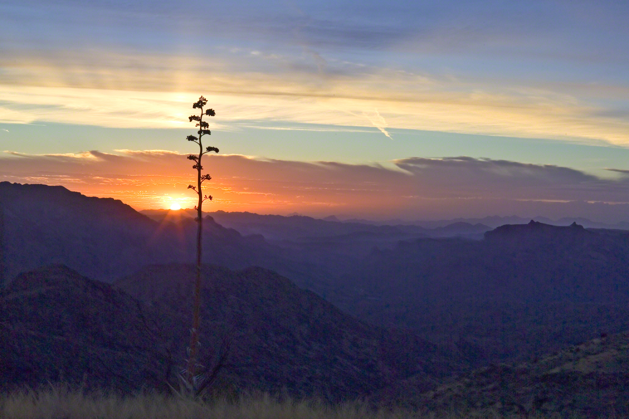
This photograph, taken 4 miles to the west and 10 months later, is similar to what I enjoyed, and dreaded, that day.  A flowering century plant stalk grows at the end of the plant’s long life, usually 10 – 30 years.  After death, the plant is reborn through suckers from its roots.
sunsetfromcastledomemarch2006copyright-3372
A Superstition Wilderness Sunset from a February 2006 backpack.

My hope was to find some flat terrain in that canyon, for a camp site. If only there was time enough to reach it. My progress was bedeviled by sudden gusts of wind, grabbing like a large cat, throwing off-balance.  

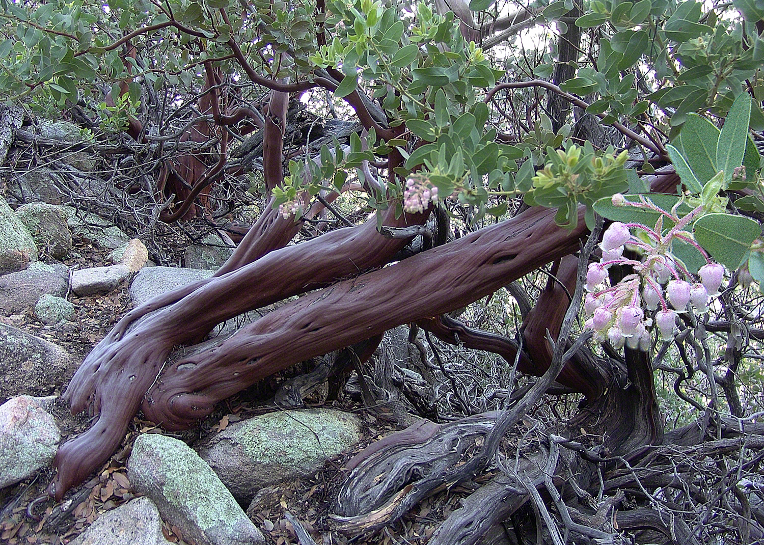
The west wind was whipping the bushes as I entered the Manzanita.  Here is a photo of the plant from a later backpack to the Rincon Mountain Wilderness.  Yes, the trunk is a dark, rich red.  “Manzana” is apple is spanish, the plan is named “Little Apple” for the small green fruits much loved by bears.
Manzanita.
A mature Manzanita growing along the Miller Trail of the Rincon Mountain Wilderness. There is an enlargement of the flowers, to the right.

Manzanita leaves were thick around me snapping in the wind, making it seem at all moments a large creature was moving. The trail was difficult and several times I needed to turn back to find it, all the while climbing continuously.

On ridge was the highest point for a hundred or more miles to the west, so the wind was free to run which it did in huge gusts.  You can get an idea of the openness from the Superstition sunset photo.  For awhile the Manzanita acted as protection, then I descended along the west face of the Two Bar Mountain ridge.
Evening from Lime Mountain to East with Risen Moon
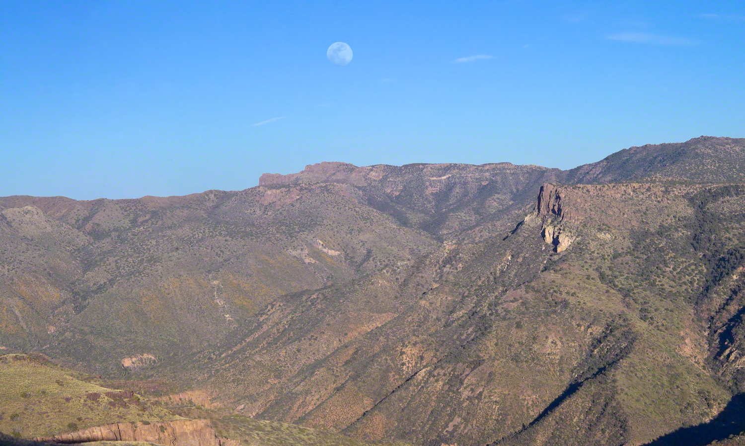
Two Bar Mountain and Ridge from Lime Mountain with rising moon.

My hat tie-down were tested on that two miles of ridge, the brim was molded around the right side of my head. The backpack acted as a sail so that it was taken in the wind gusts, affecting my balance.

On mountain trails the path is full of stones of all sizes and,  aside from the occasional rattlesnakes, critter scat or, at lower elevations, Gila monsters, it is the rock that forces hikers to look four steps ahead, planning moves carefully to avoid falls.  The 80 pound backpack, wind, rocks, high perch and, not forgetting the prickly pear cactus and jumping cholla, all slowed me to less than a mile an hour.  I was jumpy walking through that Manzanita and this slowed me down more.

Trail 122 joins Trail 119 on Two Bar Ridge.  On the ridge a substantial barbed wire fence separates federal land from the working ranch.  Where the trails crosses, the fence has a break.  The hiker needs to wend through a simple maze impassable to cattle.

Of all the trail, this is the most clearly marked.  Fences have deep historical significance for the western United States.  Range wars were fought between men who had different beliefs about land use and ownership.  Many historians associate the building of barbed wire fences with the passing of the Old West.

Up until the fence, cattle grazing visibly damaged the land and plants.  After the fence, the land was free to become as it was since the beginning of time.  Up here, there’s wonderful grass that was, in this season after heavier than normal winter rains, was lush and green.

The trail followed the fence for a ways, then descends steeply into a fold of the land, leaving me in shade as the sun, low in a cloudless sky, raked over the mountainside with a brilliant golden light.  The Two Bar Mountain and Ridge with Moon photograph, above, gives an idea of the effect.

Below, the canyon floor seemed a mass of prickly pear cactus groves.  I decided the lower canyon wall was the best choice for camp…as unlikely as that sounds.

Here, the trail was anything but straight and almost invisible, descending in looping curves called switchbacks.

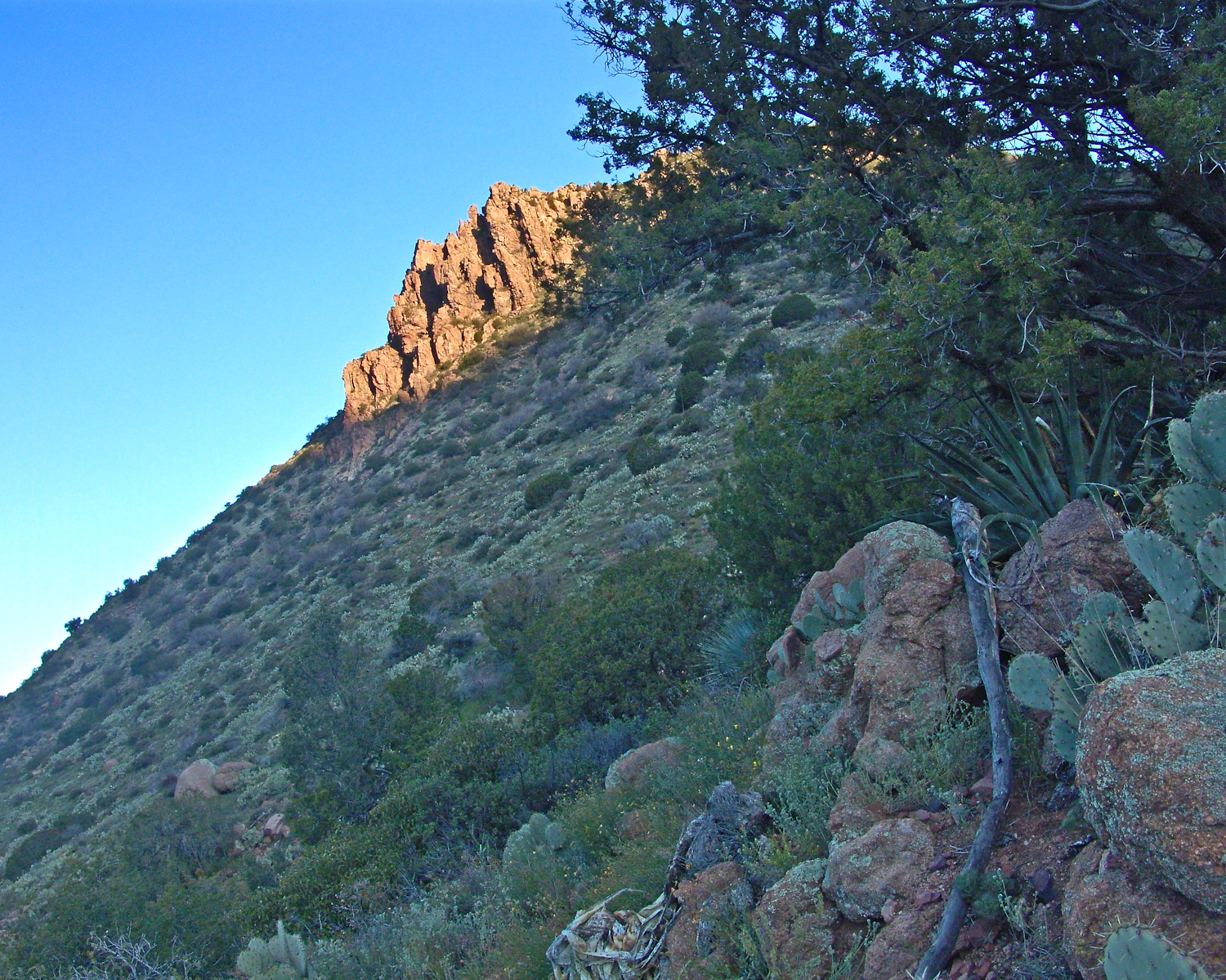
Here’s a photo from the following morning.  I found a small shelf on a ridge overlooking the canyon floor, amongst wonderful shrubby Juniper trees.  Tiny hedgehog cactuses were covered in lavender blooms.  There is a decrepit stalk of a Century (yucca) plant lying over the rock.
ontheslopesoftwobarmountaincopyrightmichaelstephenwills08
Morning view from my camp in a nameless canyon below Two Bar Mountain.

On approaching the shelf, the air turned suddenly cold as the sun fully set and the wind gained even more in strength flowing up the canyon and over Two Bar Mountain.  Stony ground made it impossible to stake the tent, instead I used small boulders to fix the corners and sides of the tent.  Once inside, I was grateful for an excellent mat to protect me from the small jagged stones at one with the ground.  The tent walls held back the wind.  I forgot to back an excellent sleeping bag for the trip.  Instead of buying one in Phoenix, my sister lent me a light waffle weave blanket.  “What was I thinking???”  It was a restless, cold night.  The sun was very welcome the following day.
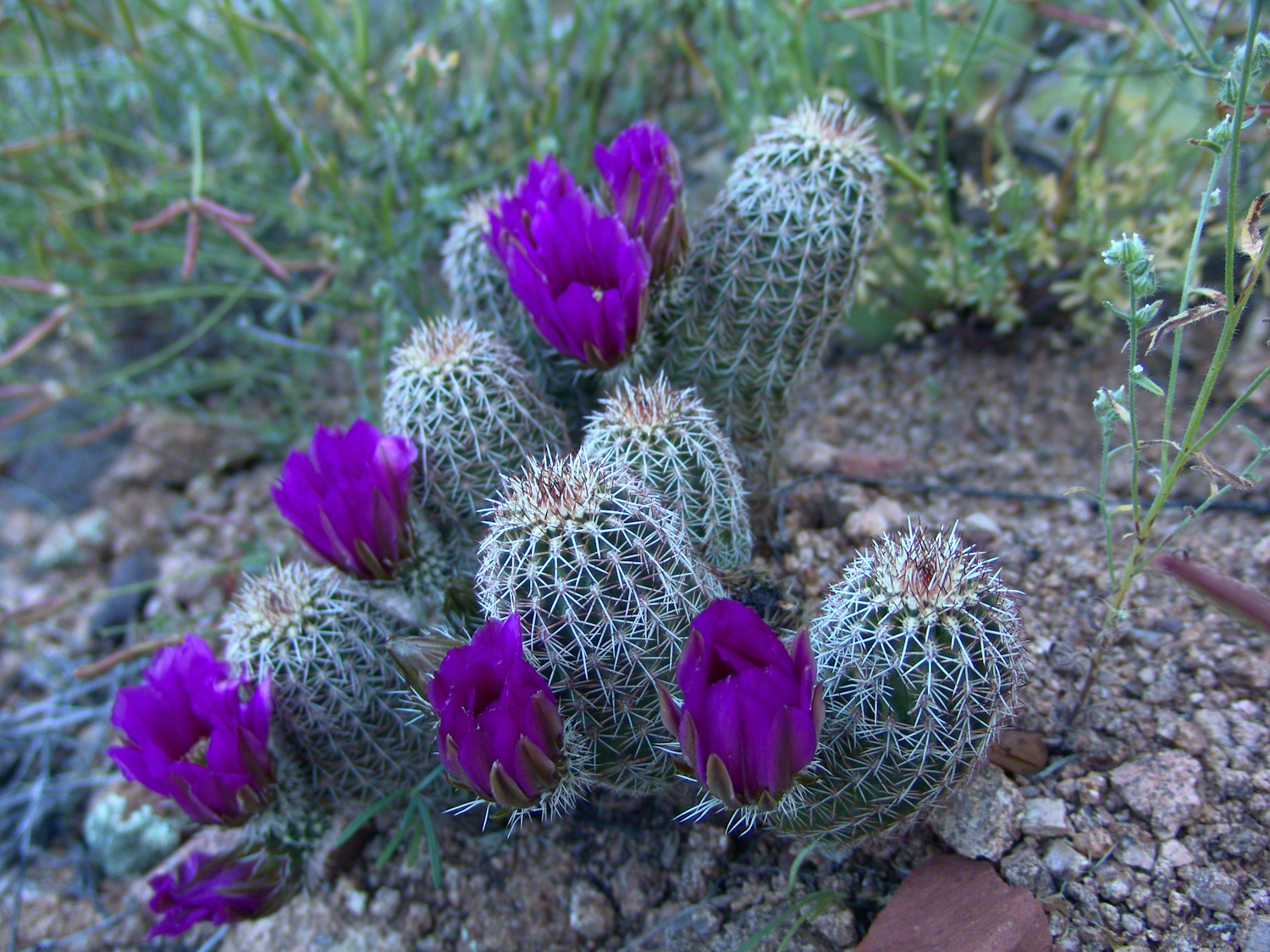
Lavender Hedgehog Cactus Blooms
Lavender Hedgehog Cactus Blooms in pre-dawn light

Click me to visit Michael Stephen Wills Online Arizona Gallery.

Copyright 2026 All Rights Reserved Michael Stephen Wills

A Story Risen from the Mist

The Resurrection of Táin Bó Cúailnge

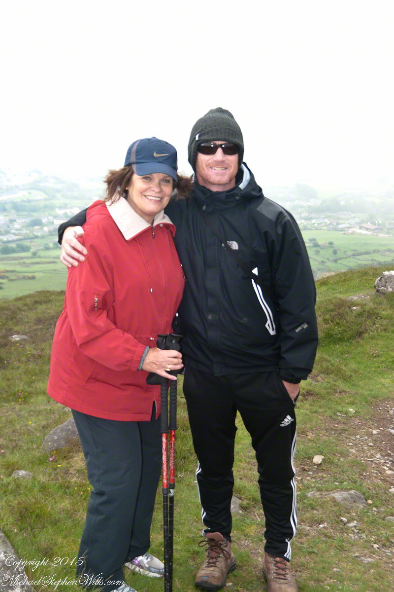
We did not climb so much as ascend, with effort, the flank of Slieve Foy, a peak of the Cooley Mountains, County Louth, Ireland. The group being cousin Sean, my wife, Pam, and myself.

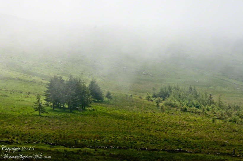
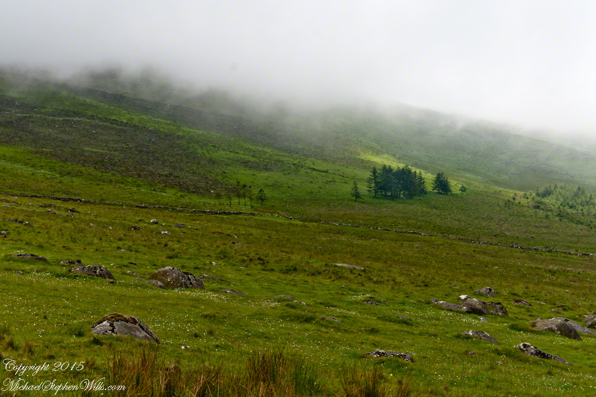
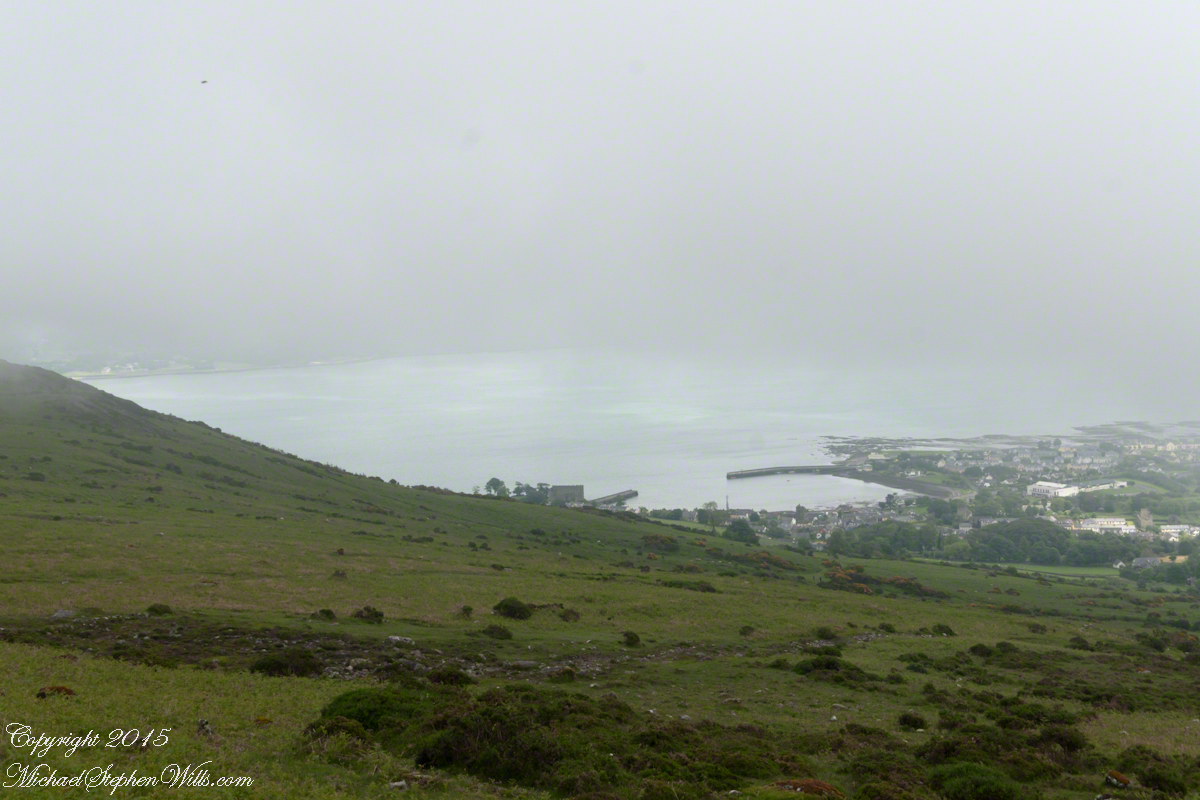
The ridge of Golyin Pass loomed in the mist where the path dissolved in low cloud. Sean pointed above, to the right to Barnavave, also know as Maeve’s Gap for the queen who came from the west of Ireland to take Donn Cúailnge, the Brown Bull of Cooley, by force of arms with an army behind her.

My Online Gallery– CLICK ME!!!!
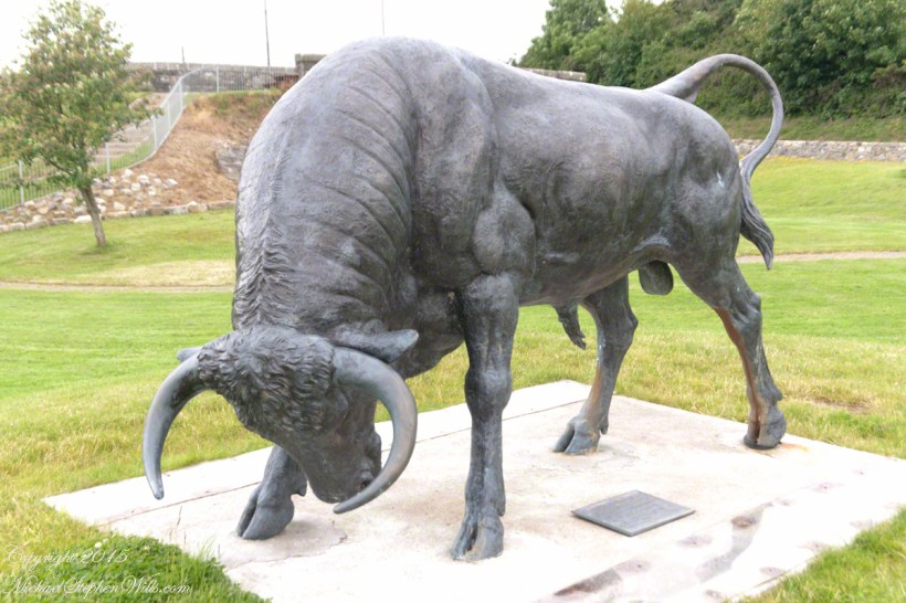
A modern rendering of Donn Cúailnge. See link at the bottom of this posting for more information.
Click this link or a photograph to visit my Online Gallery

When cousin Sean named Cú Chulainn, the champion of Maeve’s opponents, the Ulstermen, he recalled a story once lost, Táin Bó Cúailnge. A hospitable siege different from Maeve’s and mist are part of the story of the recovery of this tale.

A gathering of 150 poets, 100 pupils, and attendants strained the patience and wealth of Guaire Aidne mac Colmáin, King of Connacht, when it extended to a year and four months.

Southwest View from Hags Mountain– CLICK ME!!!!
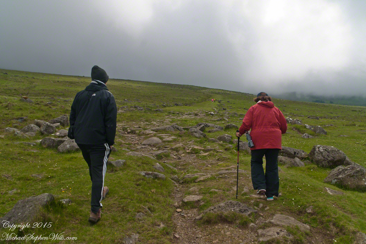
Our first and only encounter with fellow hikers. In the distance two figures appear over the next ridge, a mother and young daughter. She greeted us and challenged Sean to his knowledge of the area. Sean acquitted himself well and we continued.

On that 16th month, the king challenged the leader of his guests to the telling of a tale. Guaire demanded Seanchan Torpest, the chief poet of Connacht, to recite the whole of Táin Bó Cúailnge, known in English as the Cattle Raid of Cooley or The Táin (Cattle Raid).

Click a gallery pic for a larger view.

In this way the king was relieved of his guests: the book of the Táin was lost before their lifetimes, rumored to be abroad. Abashed at his failure, Seanchan Torpest withdrew. Fellow poets and followers trailed out from the castle.

Seanchan Torpest regrouped the host (an opened question is who then supported them) in conference to construct Táin Bó Cúailnge. It was a false hope as the gathering discovered while each poet knew a part of the whole, most of the story was lost. His honor, reputation and self-esteem in tatters the Chief Poet of Connacht, set off with Murgen, his son, and second cousin Eimena to return the Táin to Ireland.

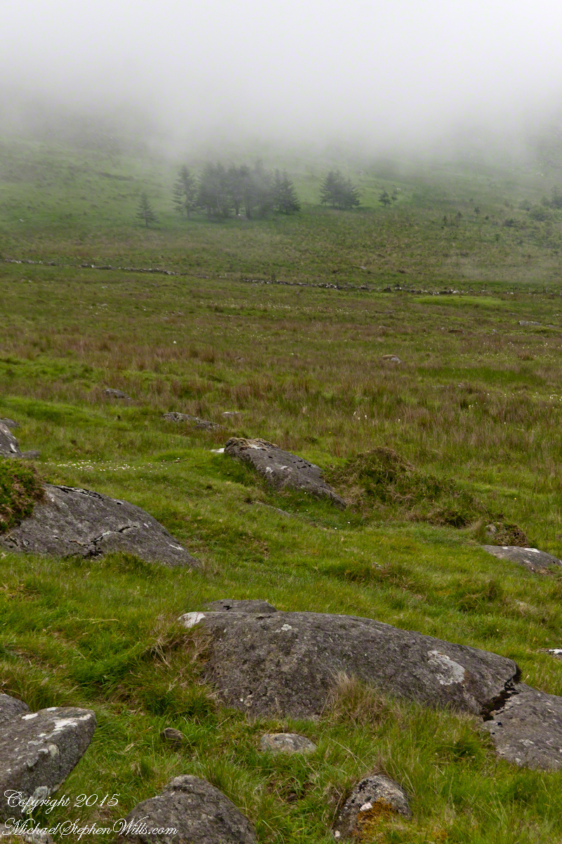
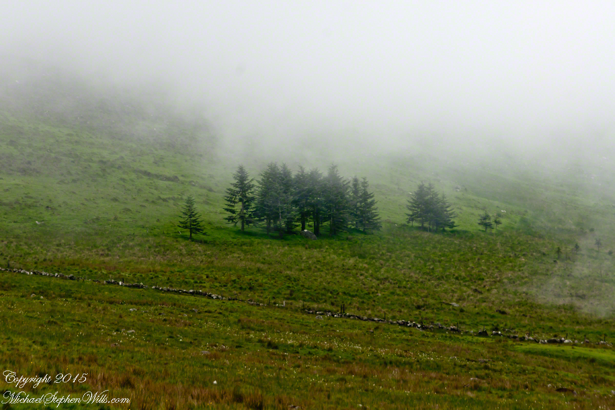
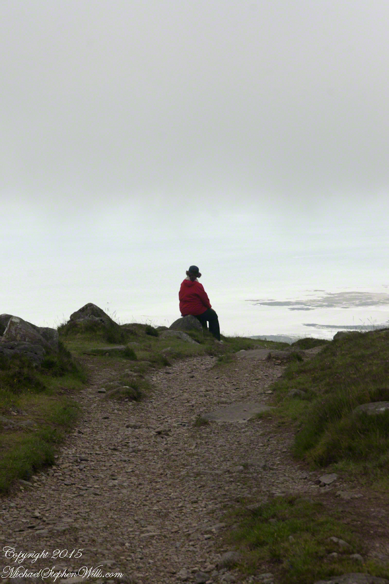
Into mists such as those Pam, Sean and I ascended, the travelers soon were lost and separated.

Magically, Murgen finds the grave of the Uncle of Cú Chulainn in the mists, there to meet the shade of that enormous man, Fergus mac Róich is his name. In the Táin, as related in whole by Fergus to Murgen, Fergus was led by circumstances to ally with Maeve, to guide her army against the Ulstermen. As a deposed king, traitor to Ulster and Uncle to the champion Cú Chulainn, Fergus knew the tale entire.

My Online Gallery– CLICK ME!!!!
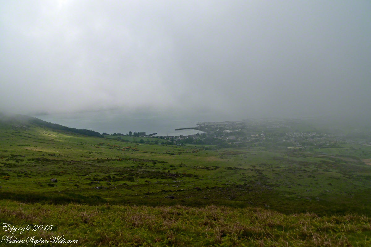
View as we approached Goliyn Pass

It was from the mists that Murgen emerged, found his father and cousin, and returned together without the book, but with possession of the substance of the Táin.

Click this link or the above photograph to visit my Online Gallery

Views of Carlingford

Visit the opening chapter of our time on the Tain Way

Visit the next posting in this Ireland series, “Farmland Southeast of Carlingford”

A thank you to Wikipedia, my information source on the resurrection of the Táin.

Copyright 2021 Michael Stephen Wills All Rights Reserved

On the Tain Way

A place of myth and wonder on foot and approachable

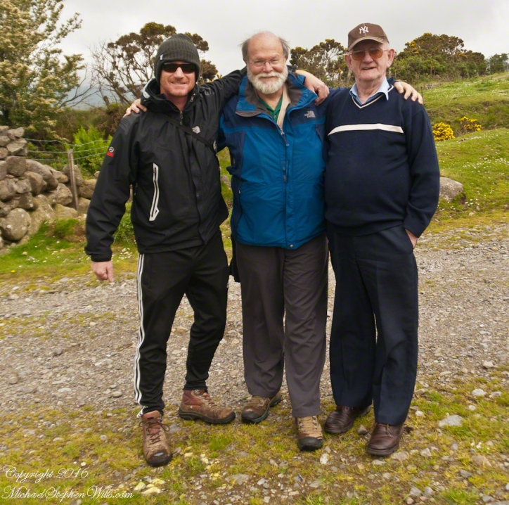
On Monday, June 9, 2014, cousin John Mills dropped his son, Sean Mills, myself and Pam Wills off at the foot of the western slopes of Slieve Foy on the Tain Way.  Sean, Pam and I walked the way over the mountain and into Carlingford in the footsteps of epic Irish heroes.

Our guide, Sean Mills, proposed the walk and it fell on our last full day in Ireland. Sean’s father and our host for this visit, John Mills, transported the group including my wife Pam to the starting point at the foot of Slieve Foy.

Click this link to visit my Online Gallery

On the Tain Way– CLICK ME!!!!

Yes, if there is any part of the Tain Way the the mythic Irish heroes trod it is this one over Slieve Foy mountain. The saga, in Irish “Táin Bó Cúailnge” and “The Cattle Raid of Cooley” in English, features this bull, “Donn Cuailnge” “The Brown Bull of Cooley”, here as a statue erected 2011 by the Grange and District Residents Association.

Walking the Tain Trail to Carlingford

Donn Cuailnge raged over the very slopes we walked this day. The myths themselves fill a volume and I am unable to do them justice here.
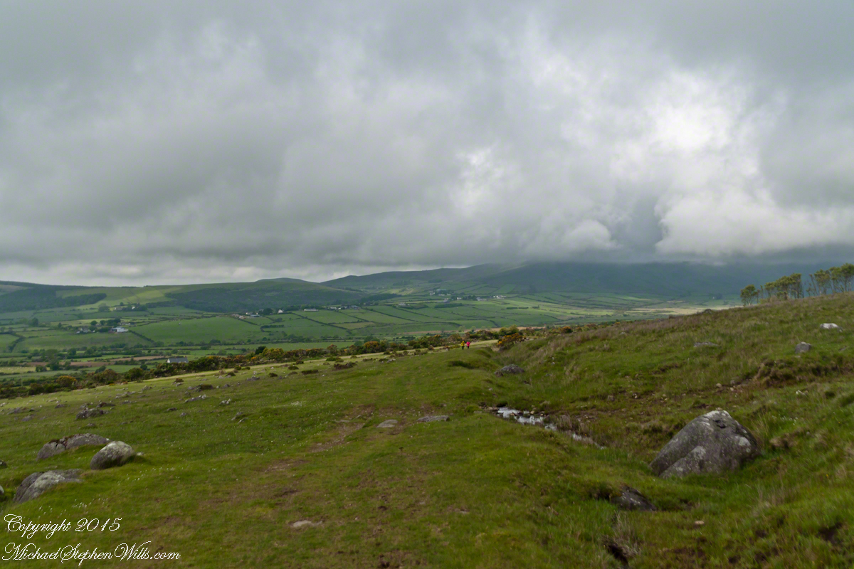
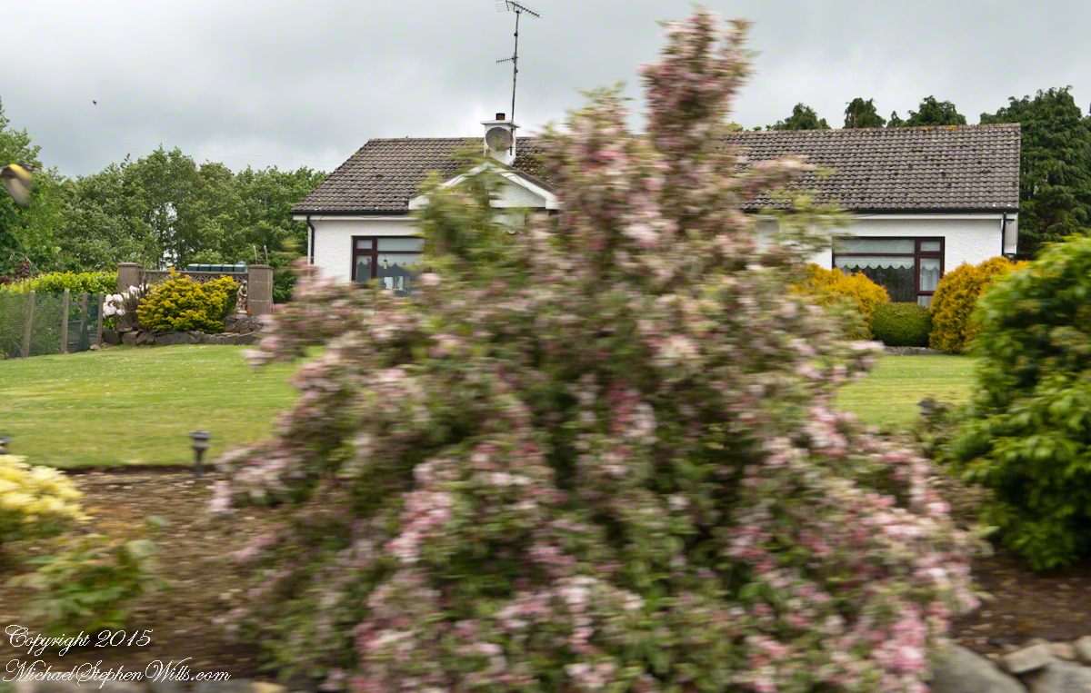
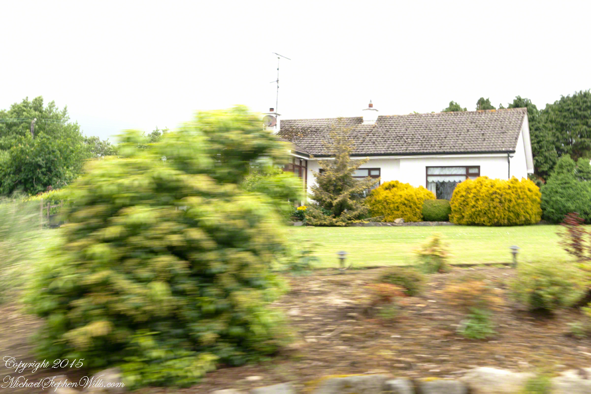
On the way, John stopped at the Old Aghameen School he attended in the late 1930’s early 1940’s 70 years before and we pass through the country soon to grace our views.

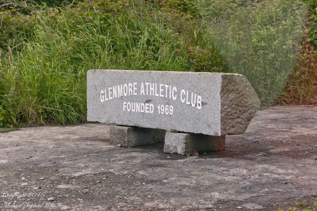
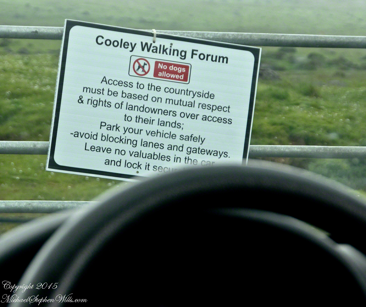
Many thanks to the Glenmore Athletic Club, the Cooley Walking Forum and land owners who provide access to the Tain Way.

We had our leave taking with John, who planned to stay near the phone for our call from Carlingford, if all went according to plan. That same year Pam had the first of two total knee replacements. This was our longest hike in Ireland and Pam was not likely to miss it, regardless of any pain. Pam is always ready to smile.

Walking the Tain Trail to Carlingford

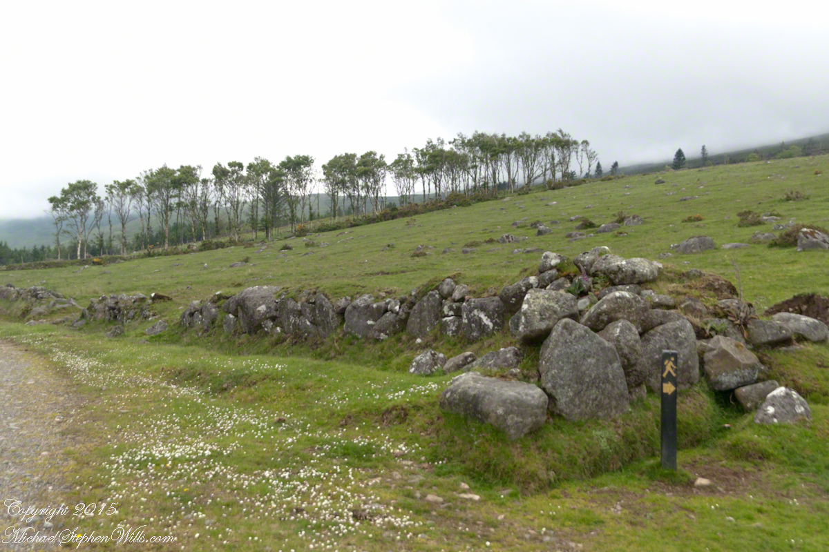
At start, the Tain Way is broad, green and welcoming.

Walking the Tain Trail to Carlingford

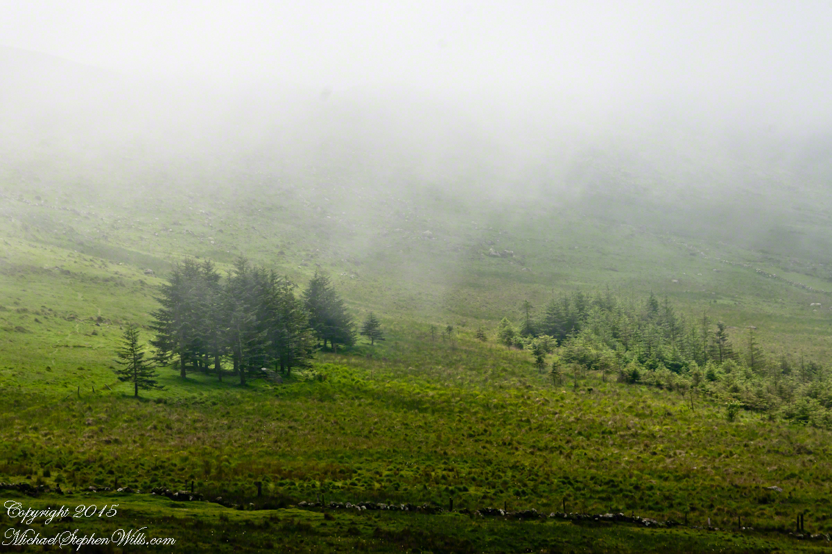
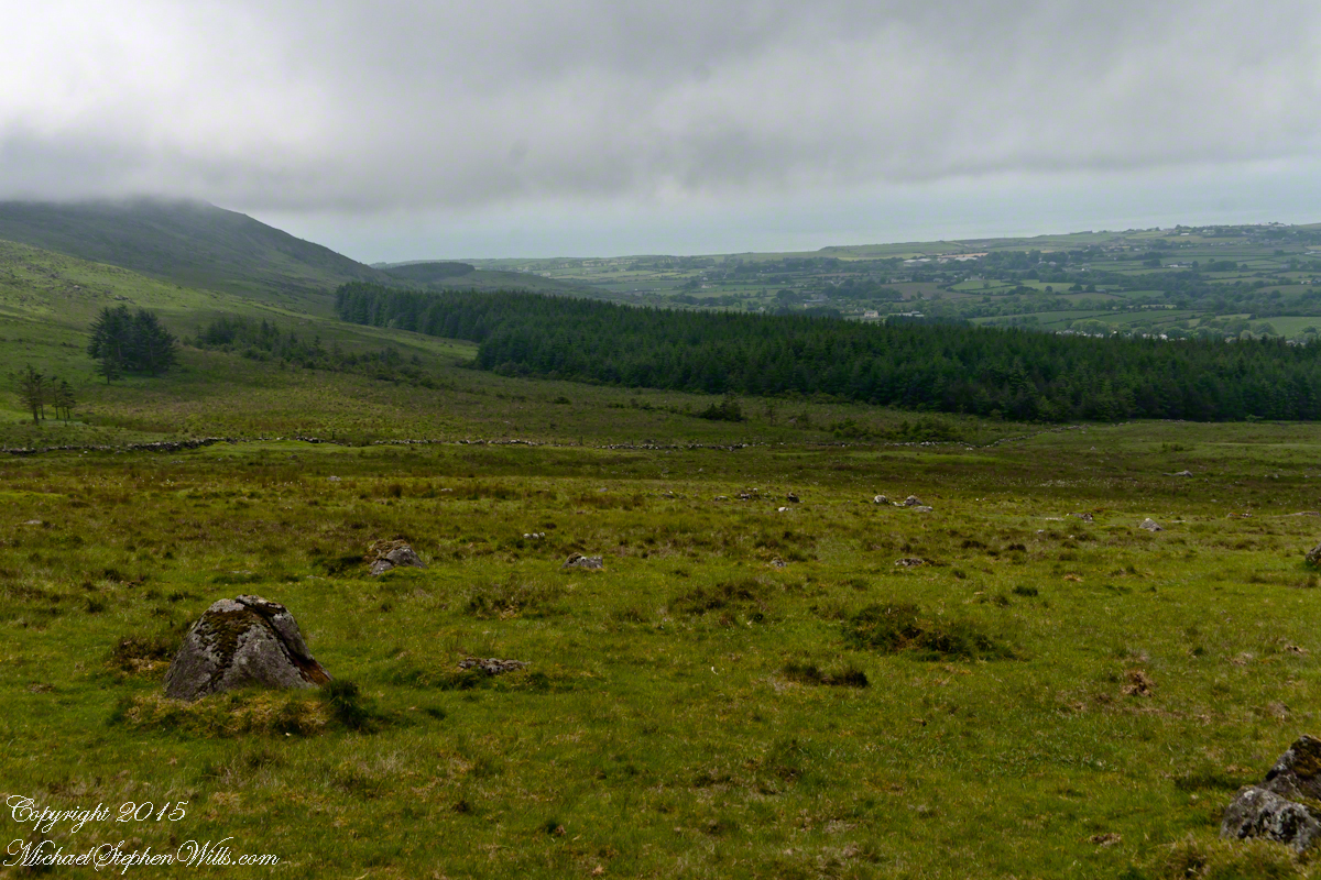
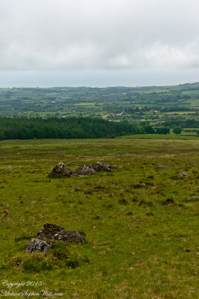
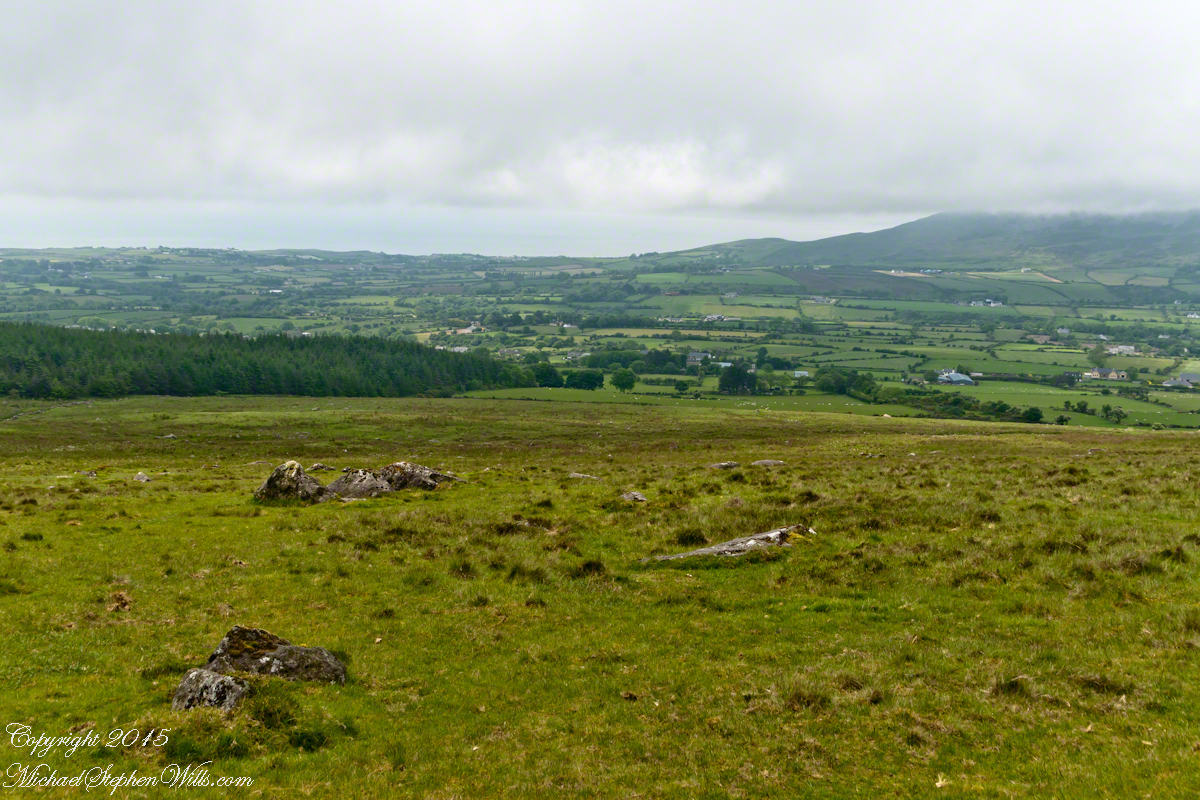
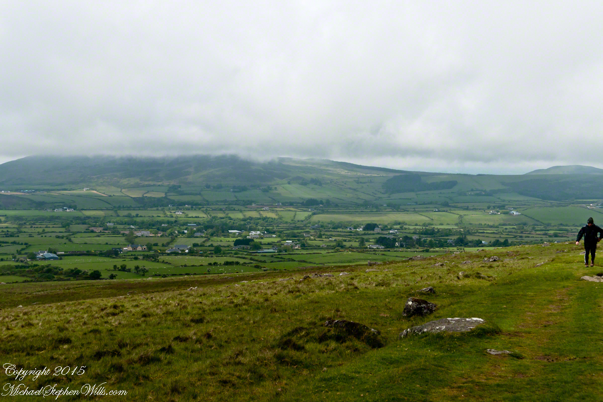
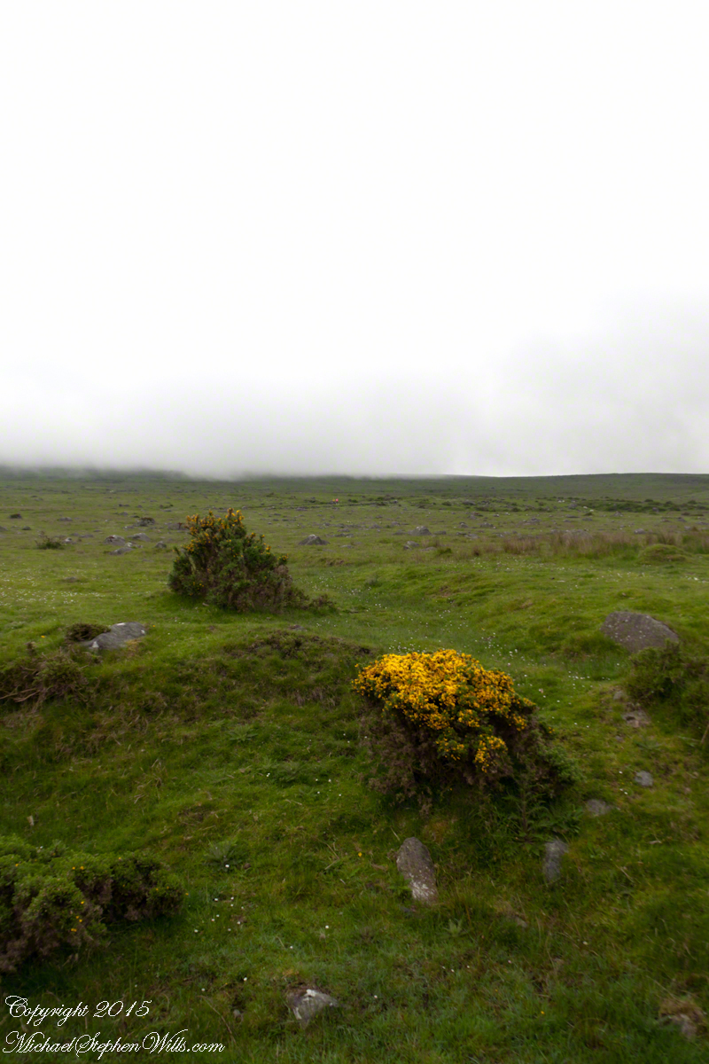
The western slopes of Slieve Foy hold views of a valley among the Cooley Mountains with Dundalk Bay of the Irish Sea to the south / southeast. It was not long before the view started to open and, then, opened and opened the entire walk to the top. We were graced with a lovely, cloudy, June day. Mist only, no rain. Plenty of wind, not strong.

Walking the Tain Trail to Carlingford

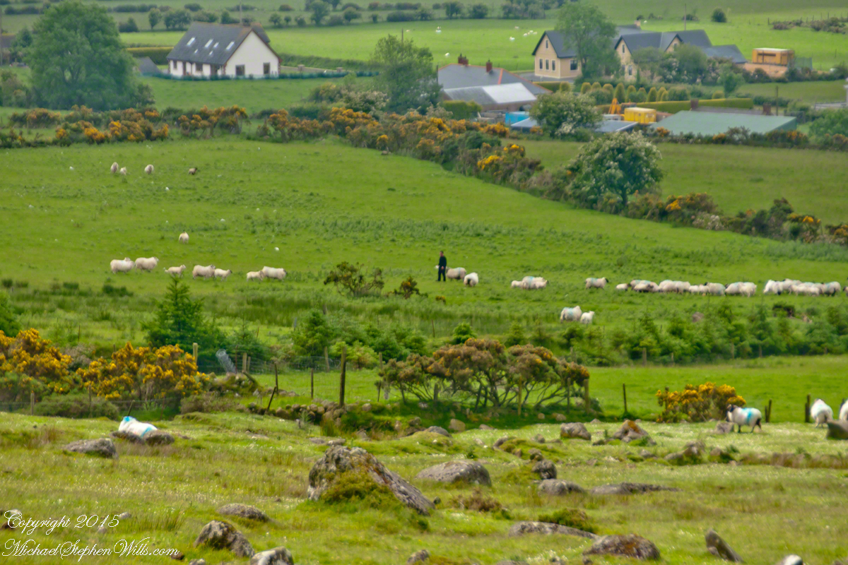
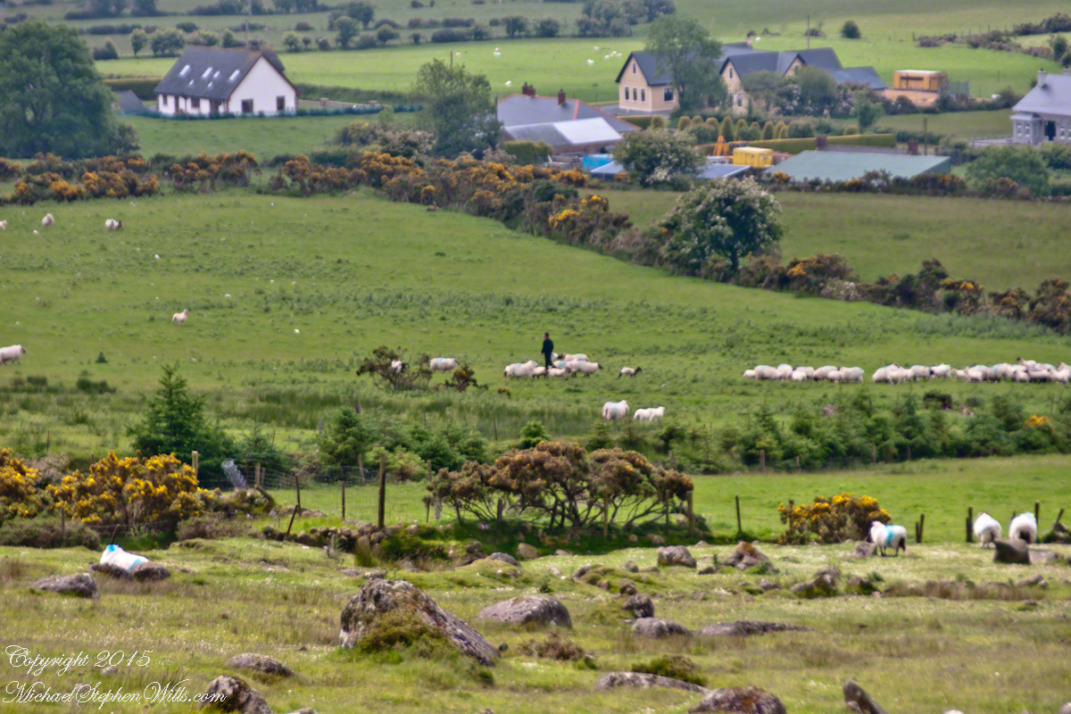
Farms are all about. Here a farmer attends to the flock. They know who he is.

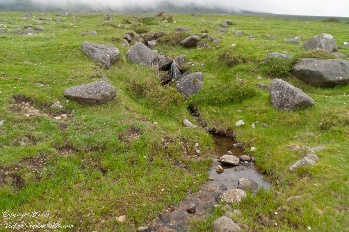
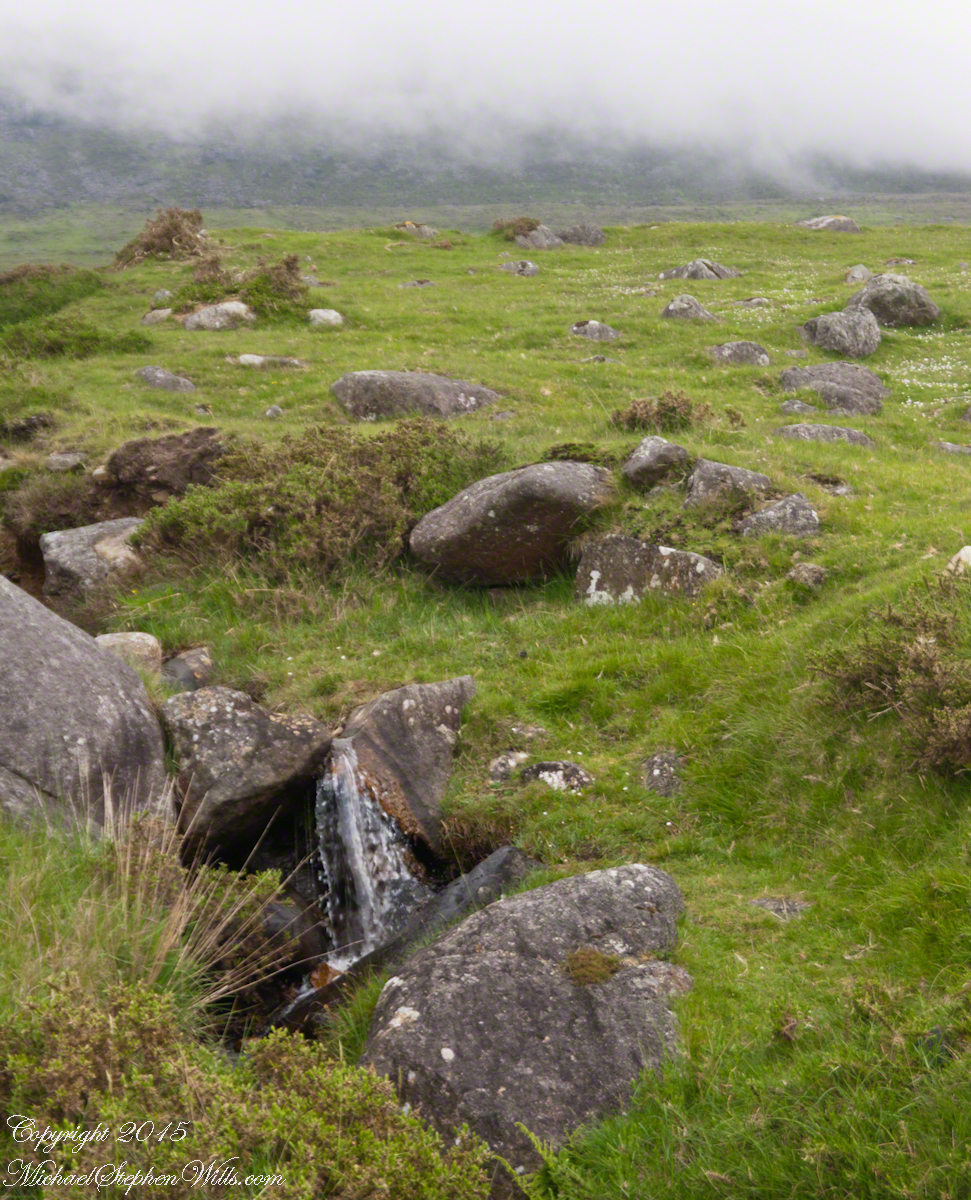
Walking the Tain Trail to Carlingford The lower slopes hold many small stream among granite stones. Walking the Tain Trail to Carlingford Walking the Tain Trail to Carlingford Walking the Tain Trail to Carlingford Walking the Tain Trail to Carlingford Walking the Tain Trail to Carlingford

I will continue with our walk on the Tain Way soon enough.

Click for the next chapter of our time on the Tain Way

Here’s a previous Ireland posting……

Copyright 2021 Michael Stephen Wills All Rights Reserved

Gulf of Penas

Rounding the Aisen Headland

Entering Penas Gulf
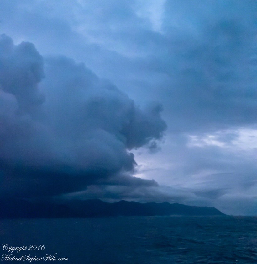
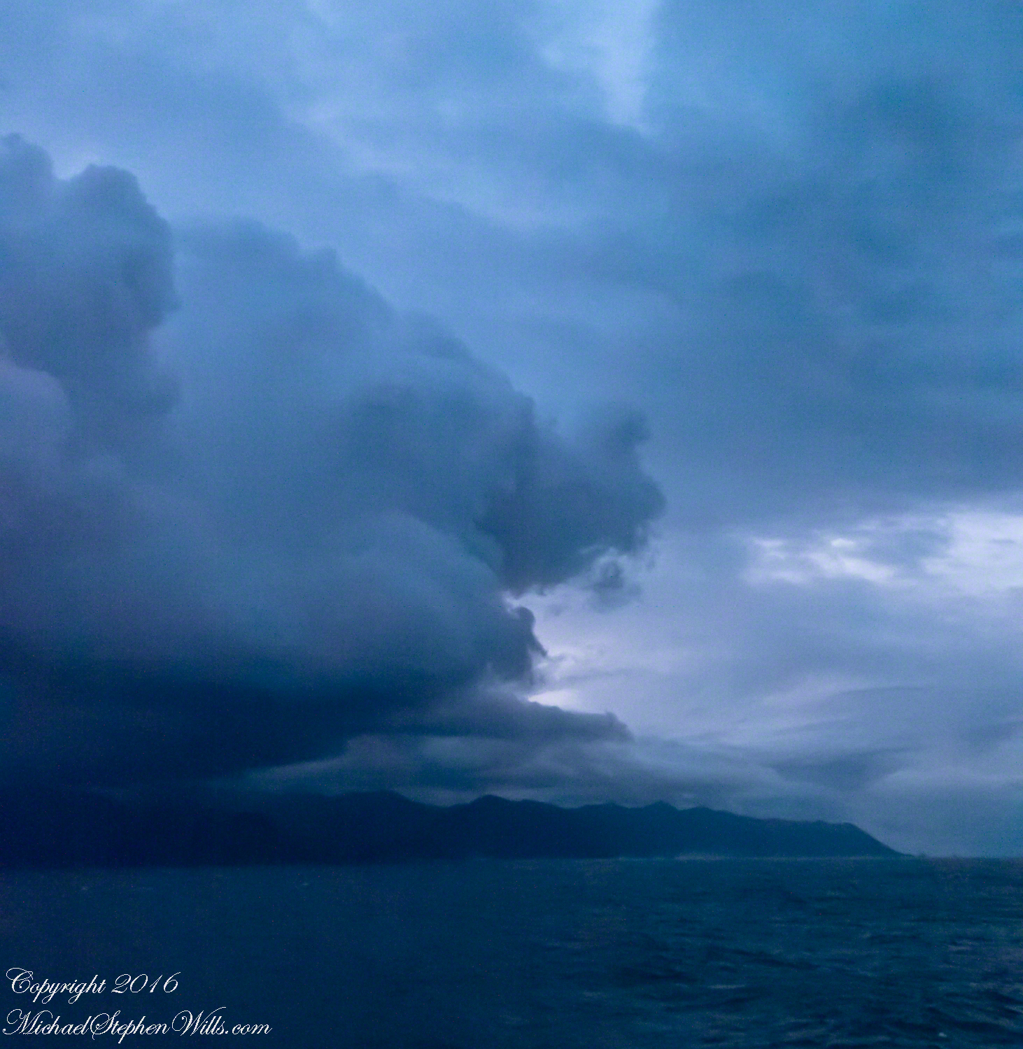
Rounding the Aysen Region headland of the Penas Gulf. Next land will be the Magellian Region extending to Cape Horn. In the Penas Gulf we will enter the Messier Channel and the fjords.

Get More from My Online Gallery

Taken with a tripod mounted Sony DSLR A 700 DT 18-200 variable lens set to 18 mm.  1/40 second at f4.5 ISO 6400.  The sun was still low, after sunrise with gathering storm clouds from the terrace of our state room (a moving ship).

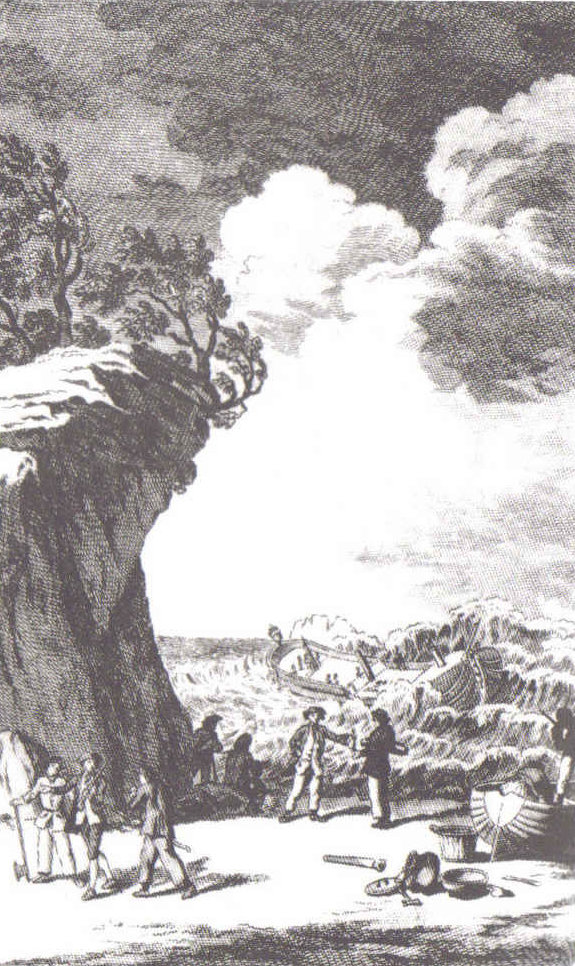
Our early morning traverse of the Penas Gulf was smooth sailing in route for Tarn Bar, entrance to the Messier Channel. We’ll pass Wager Isle where May 14, 1741 the H.M.S. Wager wrecked, stranding the crew. Speaking to the conditions on board, immediately some of the crew broke into the “Spirit Room, got drunk, armed themselves and began looting, dressing up in officers’ clothes and fighting,” many drowning the next day when the Wager flooded and sank.

The original fronts piece to Byron’s Narrative; “Being an Account of the Shipwreck of The Wager and the Subsequent Adventures of Her Crew.”

The remaining 140 officers and crew manned the boat to make for shore in the Patagonian winter. Five years later, midshipman John Byron, grandfather to the poet Lord Byron, made it back to England with the Captain David Cheap. Just west of Wager Isle is the larger Byron Isle, named in his honor.

On this south heading our cabin on the port side faced east. In these early morning hours, I set up on the stateroom balcony, so for better or worse there is no views of either Wager or Byron Isle.

Entering Messier Channel from the Gulf of Penas is the next blog in this series.

Lighthouse on Cape Rapier is the previous blog in this series.

The contents of this blog are Copyright 2021 Michael Stephen Wills

Farmland Southeast of Carlingford

Beauty of the Cooley Peninsula, County Louth, Ireland

I offer here a continuation of descriptions of a 2014 walk on the Tain Way, an appreciation of the lore and beauty of Ireland.

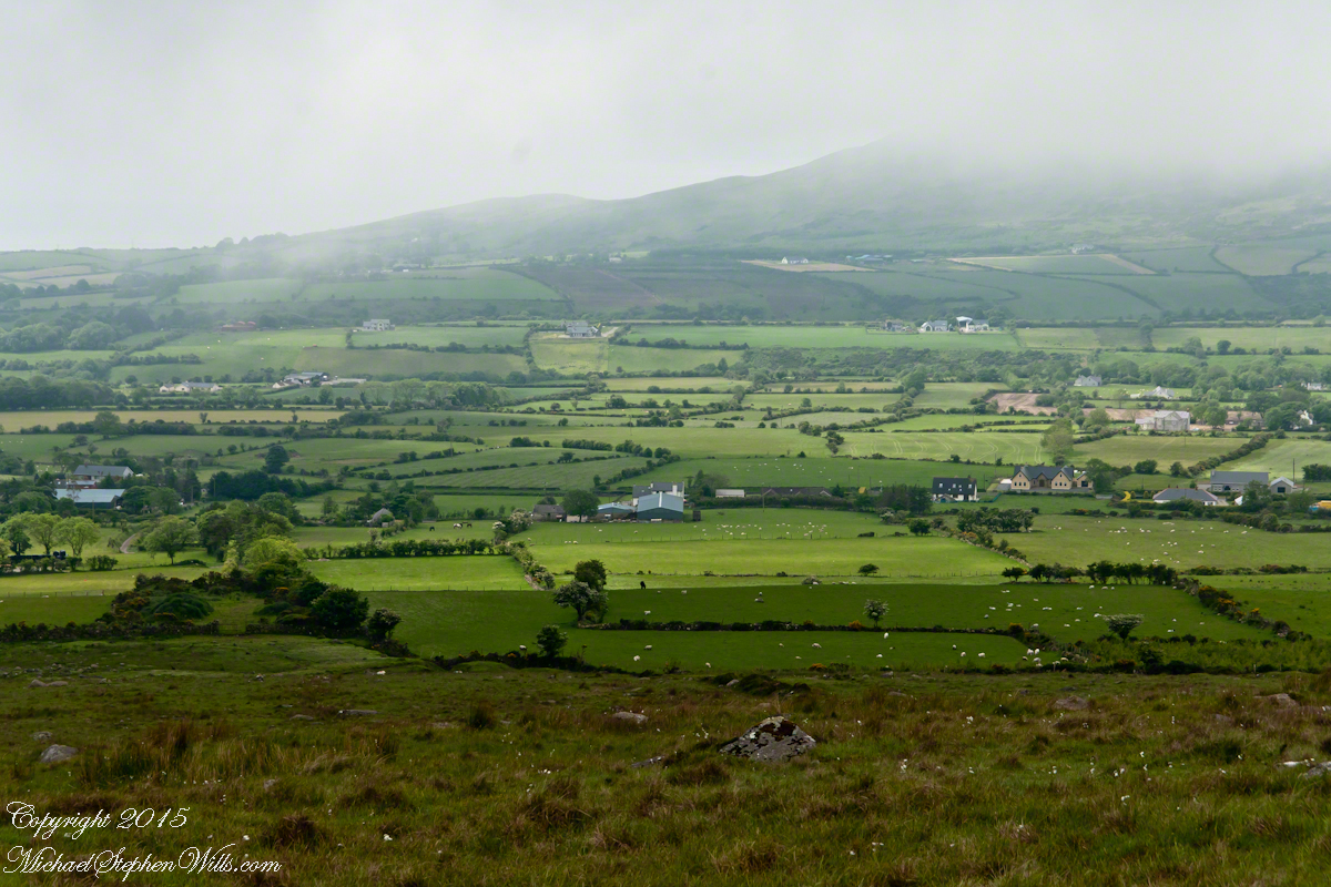
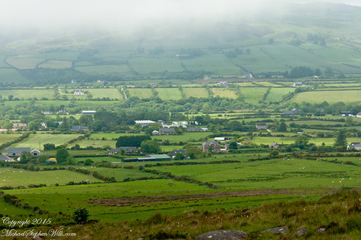
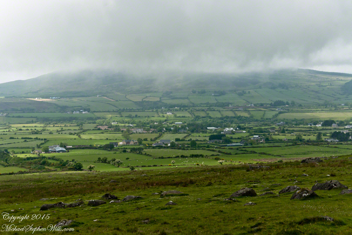
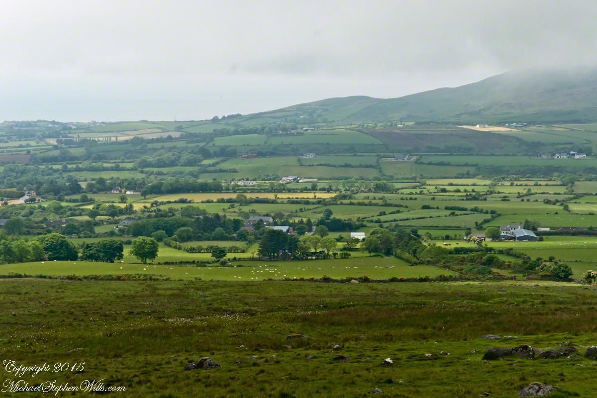
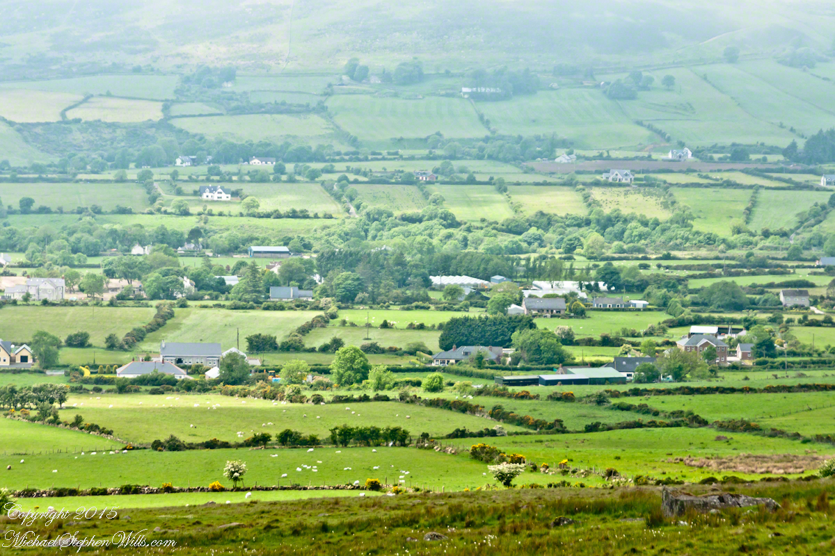
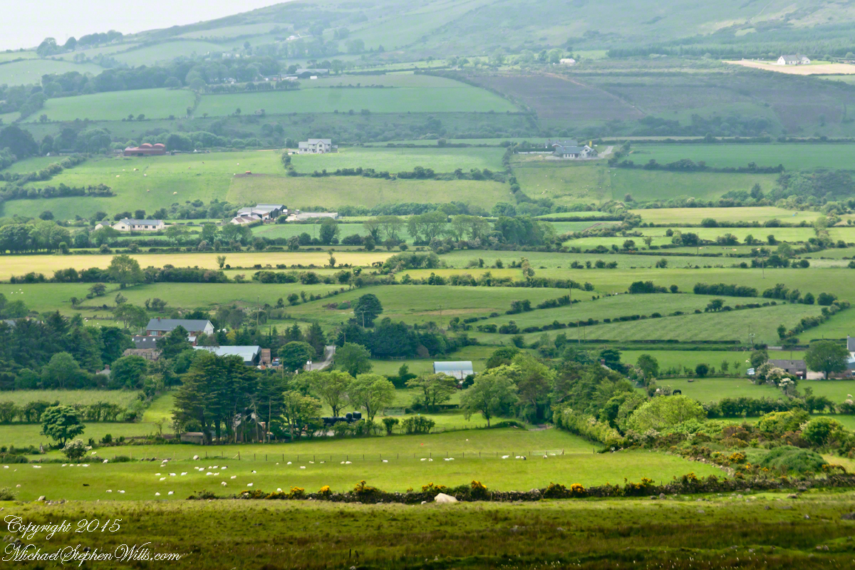
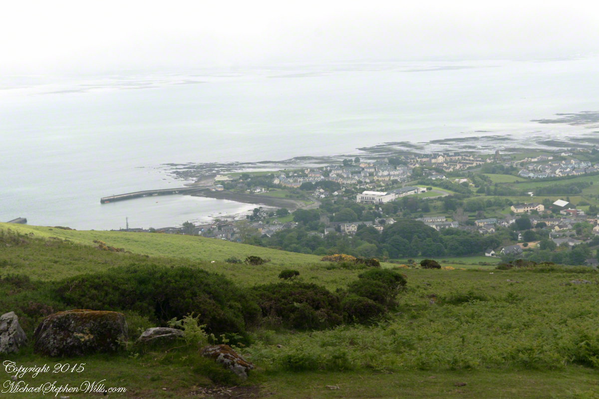
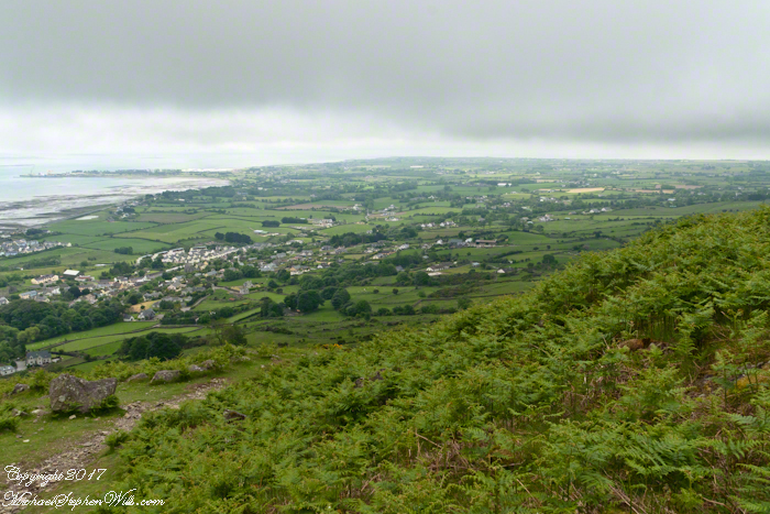
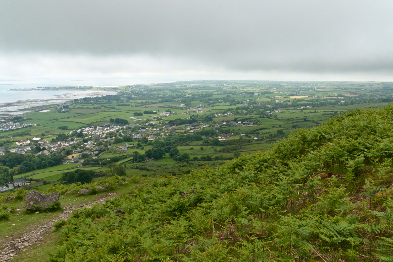
Descending the Tain Way from the ridge of Golyin Pass the sweep of Cooley Peninsula spread before us. Louth is the smallest of the Irish Republic counties, a peninsula which is mountainous where it is not farmland, one exception being Carlingford with the most people, population 1,405 in 2016.

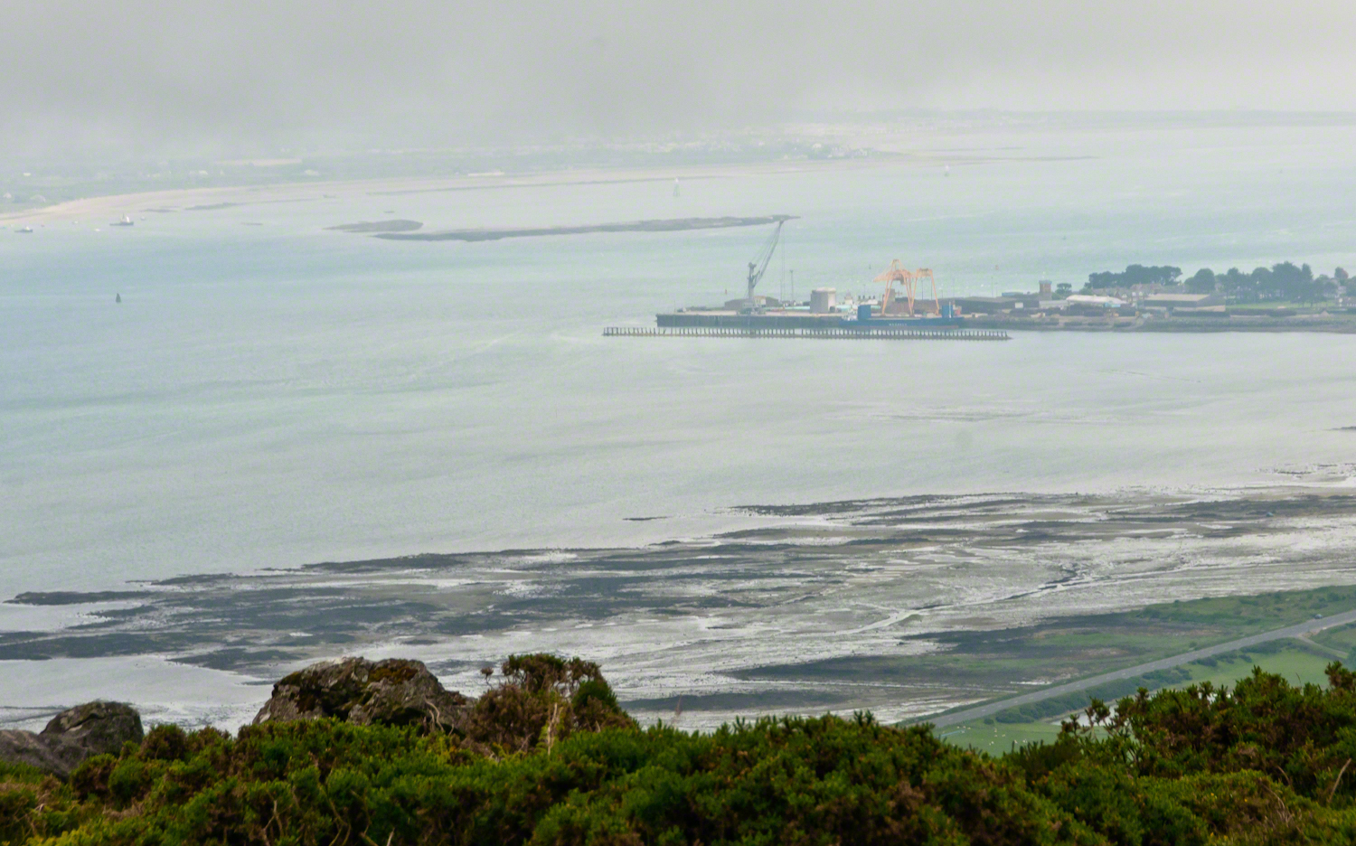
Residential Carlingford continues along the Greenore Road, farmland adjoins then continues southeast along the Cooley Peninsula margin, the Irish Sea beyond. Greenore Town and deep water port on upper left.  These photographs are views from the Tain Way on the slopes of Slieve Foye, the highest mountain of County Louth.

Greenore Town and Deepwater Port
Click this link for my Ireland gallery of Fine Art Photography.

Wander through the place names: Chapel Hill, Liberties of Carlingford, Moneymore, Leminageh, Crossalaney, Mullatee, Millgrange, Ramparts, Muchgrange, Ballyamony, Mullabane, Petestown, Ballagane, Willville, Whites Town.


There is a deepwater port on Carlingford Lough adjacent to and part of Greenore Town. The port employed Cousin John Mills years ago, supplementing his farm income. Across the lough is Greenecastle, Newry in Northern Ireland.

Greenore Town and Deepwater Port

The Irish Sea opens on the far side of Greenore with the Isle of Man about 52 miles east and a little north.

Visit the opening chapter of our time on the Tain Way

Click link for the next posting of this series, “Leprechaun Rock along the Tain Way”

Copyright 2021 Michael Stephen Wills All Rights Reserved

Loughan Bay Ruins, County Antrim

Deserted Cottages above the Irish Sea

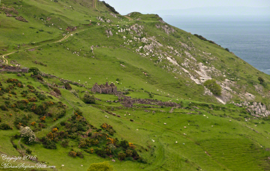
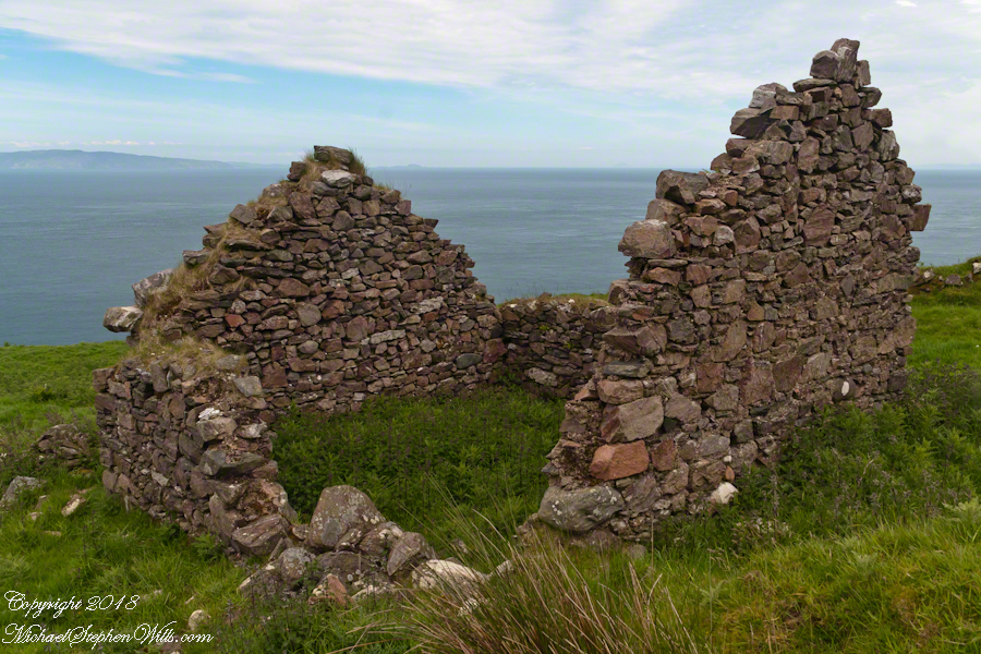
We pulled off the side of Torr Road for this fine view on the way to Torr Head to take in this view of the Irish Sea.  The steeply rising distant headland is the Mull of Kintyre. Loughan an Lochan, County Antrim, Northern Ireland.

Michael Wills – CLICK ME for my Getty Portfolio.

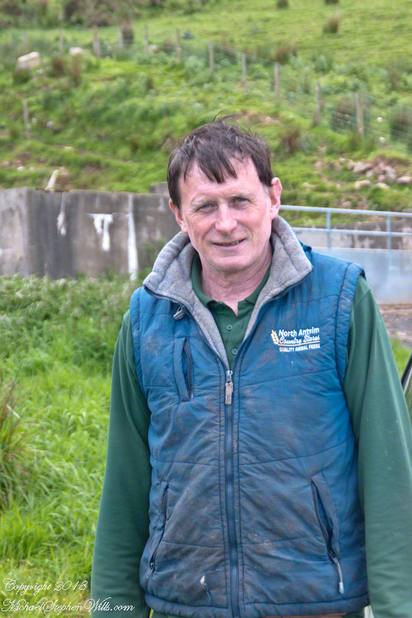
We parked on a turnout above the Loughan Cottages, near this farmer’s sheep pen.  He drove up in a huge tractor and conversed with Pam while I was below shooting the cottages. He made a good impression.

Loughan Bay Farmer – CLICK ME for my Getty Portfolio.

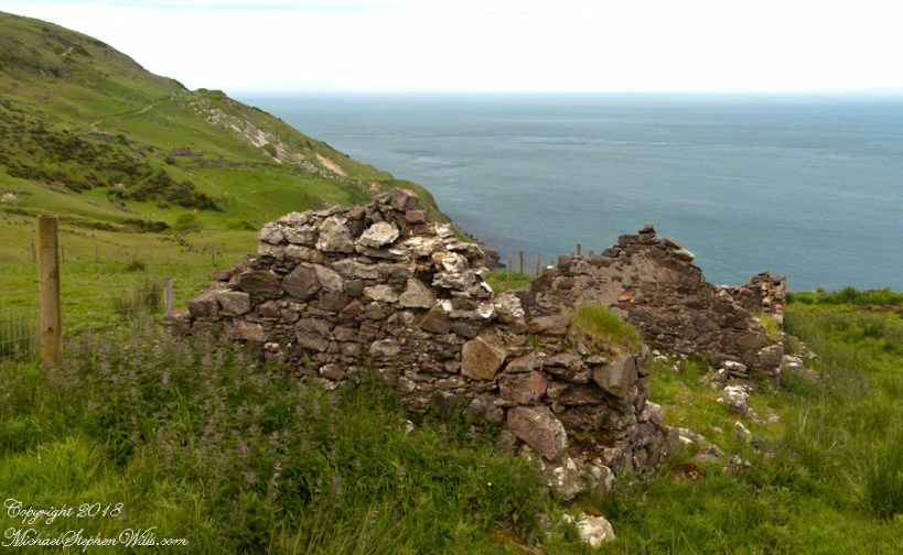
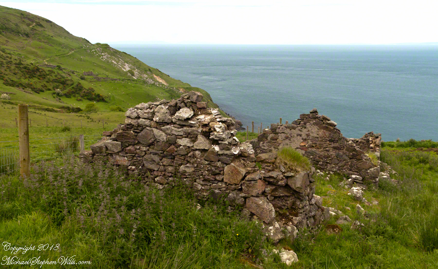
Roofless walls of a cottage more substantial than the other deserted ruins above Loughan Bay, with two fireplaces a walled porch with a view. A number of outbuilding foundations lay around. The integrity of the walls, chimneys and gables speaks to the quality of construction. A freighter in the North Channel of the Irish Sea is visible in the distance above the upper ridge. Beyond is the island of Islay, Scotland, about 30 miles distant. Loughan an Lochan, County Antrim, Northern Ireland.

I am happy to report a series of thirteen (13) photographs of these ruins were accepted for publication by Getty.  You can click any of the photographs in this posting for my Getty portfolio.

Loughan Cottages Ruins above Crockan Point – CLICK ME for my Getty Portfolio.

The land slopes steeply to a rocky beach.

Ruin Above Loughan Bay – CLICK ME for my Getty Portfolio.

A thick growth of ferns, grass on the gable was once a home with a view of Scotland’s Mull of Kintyre 13 miles across the North Channel of the Irish Sea.  The Isle of Sanda just visible on the right of the far gable.  A landform named Alisa Crag is just visible in the distance, to the left of the nearest gable. 

Single Room Loughan Bay Cottage – CLICK ME for my Getty Portfolio.

Please browse my reasonably priced stock photography. License a photograph, download and use it for your website or blog. Click this link to browse all my Getty IStock Photography offerings.

Or click this link or any photograph or this link to select a print with custom framing from my “Ireland” Fine Art Gallery.

Interested in learning more about this site?  I have a series of postings on Loughan Bay.  Click for the first posting in this series.

Copyright 2021 Michael Stephen Wills, All Rights Reserved.

Peter’s Mesa Sunset

Can You Find the Eye of the Needle?

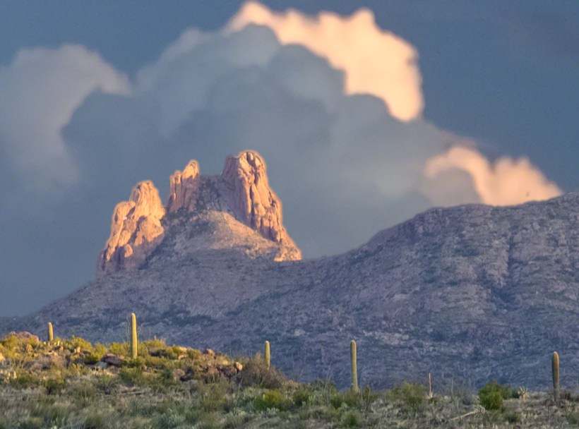
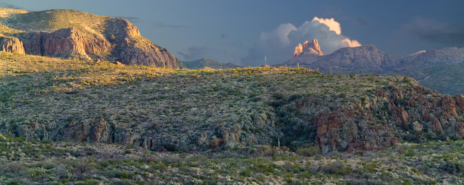
Peter’s mesa is at the center of Superstition Wilderness treasure legends. I was a member of an expedition to the top of the Mesa March 2008. This is a sunset view, looking south, southwest. Light raking across the desolation and an approaching storm behind Miner’s Needle create a fascinating spectacle. Ancient volcanism, apparent throughout the Superstition Wilderness, is here seen in the texture, form and type of rock as well as the mineral deposits. Miner’s Needle, like Weaver’s Needle (no seen in this view), are eroded volcanic summits. Look closely for the “eye” of Miner’s Needle, backlit by the storm cloud itself lit by the setting sun. To this day, hopeful prospectors search for gold nuggets around the Needle. There is one form of volcanism present today as an eerie rumble or hiss, similar to an enormous distant jet engine. We heard now and then during our two days on the mesa, louder and closer than a overhead plane could produce. The view includes many notable Sonoran desert plants. Many young Saguaro cactus are in the form of green poles and, on the rim of the ravine running left to right below the closer ridge, an excellent specimen with multiple arms. Catching the dramatic light, on the ridge is a tall single flower of an Agave, known as the “Century Plant” it flowers once in a long life and dies.

Click this link or the photograph for my Online Gallery
Peter's Mesa -- CLICK ME!!!!

Peters Mesa is named after “Old Pete” Gottfried Petrasch, father of Hermann and Rhiney Petrasch. Old Pete worked for Jim Bark for awhile in the 1890s doing odd jobs. Irregular employment gave Pete and Sons time to s searched for the Lost Dutchman Mine in the years following the death of the source of the legend, the “Dutchman” Jacob Waltz. The Petrasches were one of the first groups to search for the mine, and gold in general. They covered almost the entire Superstition range in their combined searches.

On our first day on the Mesa we came across the remains of one of these camp, on the top of Squaw Canyon. This was only deplorable junk a presumably disappointed bunch of searchers were too lazy to cart out. That March, we were lucky to find the remants of winter rains in the form of a meager trickle at the bottom of a shallow draw off Peter’s Mesa trail up from La Barge canyon. We had a good time of it until the trip was cut short by a storm front and torrential rains. We were back in Apache Junction before they hit.
This panorama is from our last evening on the Mesa. As the sun set I put the Kodak DSLR with a 50 MM lens on a Manfrotto tripod and hiked a mile higher onto the mesa for a view of Miner’s Needle. I quit only after the last light was extinguished by the approaching front. My reward for persistence was this dramatic light ennobling a craggy desolation. This is a composite of several images, combined using Photoshop. I have since invested in a Canon 24 mm wide angle lens.

Here is another Superstition Wilderness Episode

Copyright 2017 Michael Stephen Wills All Rights Reserved

Irish Countryside: the Old Aghameen School

A schoolhouse ruin on the Cooley Peninsula near the Tain trail

Click any photograph to visit my online gallery

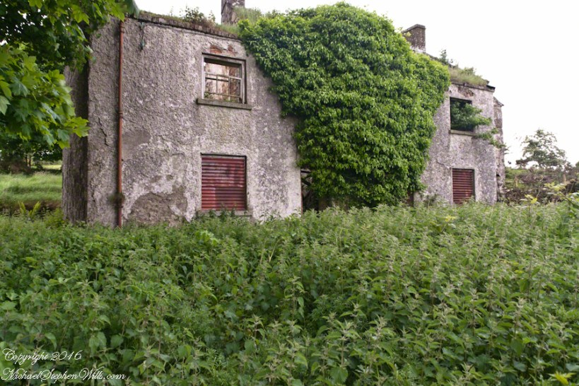
On Monday, June 9, 2014 John Mills, the first cousin of my mother, Catherine Wills nee McArdle, showed us the ruin of the schoolhouse used in the 1930 / 1940’s and which he attended as would Catherine if her parents hadn’t emigrated to Canada in the 1920’s.  Free public schooling was mandated in Ireland from 1831 and by the 1850s most Irish parishes had a schoolhouse, such as this in Ballymascanlon civil parish, as part of the National Schools.  When this piece was first published, Malachy Mills (a cousin), left a comment and clue…the name is Aghameen School.  The following information spooled out from that.

There is an Irish language site, Duchas.ie, with listings for Aghameen, a Louth township, the very one of the school and, very rightly, it is the name of the school.  There is even information from a teacher, Bean Ui Riada, who taught there 1937 – 1938, and posted information about local place names and legends.  Here is the link to his postings.  I learned from him that Aghameen is An tÁth Mín in Irish and means “field of the mountain meadow.”  You can see from the photographs the site is on the side of a mountain, pine forests all around.

Throughout her life my Mother had correspondence with her cousins who learned how to write in this very school.

The school existed at least since 1842. In private communication arising from this blog posting I learned a friend’s great, great grandfather, Denis Joseph Doherty, came from Donegal in that year to teach in the school and married a fellow teacher, Margaret Kane who was the girl’s school teacher. They raised a family while living at the school until moving to Jenkinstown. Margaret was from Jenkinstown, not far away and also on the Cooley Peninsula. They are Malachy Mills’ great, great, great grandparents through his mother.

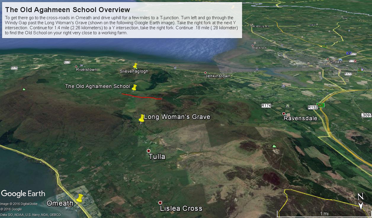
Aghameen School is located on the Cooley Peninsula, County Louth, shown in the following Google Earth Image

Schoolhouse Ruin Overview from Omeath– CLICK ME!!!!

This is the exact location:
Latitude 54° 2’17.83″N
Longitude 6°16’3.08″W

To get there go to the cross-roads in Omeath and drive uphill for a few miles to a T-junction. Turn left and go through the Windy Gap past the Long Woman’s Grave (shown on the following Google Earth image). Take the right fork at the next Y intersection. Continue for 1.4 mile (2.26 kilometers) to a Y intersection, take the right fork. Continue .18 mile (.28 kilometer) to find the ruin is on your right.

Aghameen Schoolhouse Location– CLICK ME!!!!

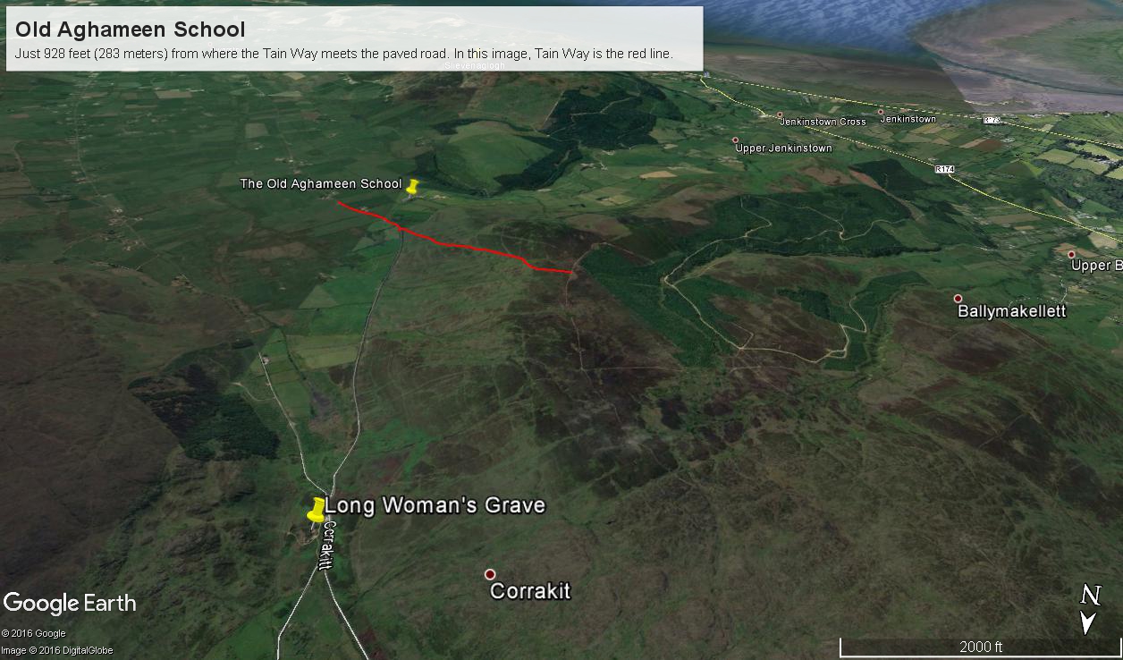
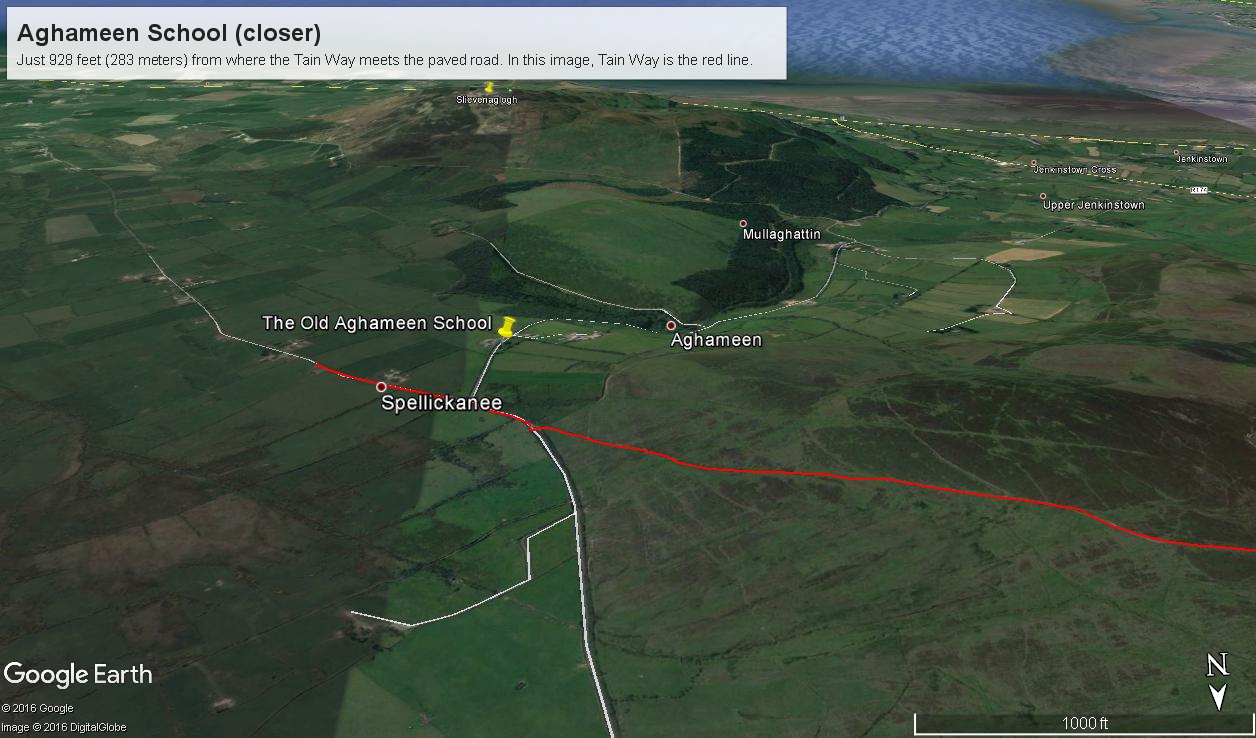
I marked the a portion of the Tain Way with a red line where it passes near the Old Schoolhouse.

Aghameen Schoolhouse Location closer– CLICK ME!!!!

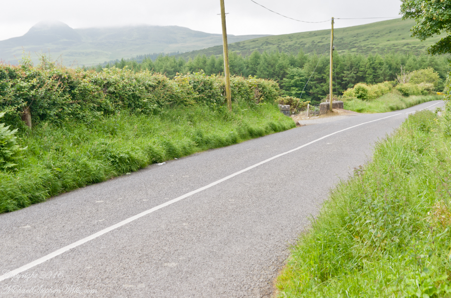
This is the road as viewed from the ruin looking south…..

Schoolhouse Ruin stone fence– CLICK ME!!!!

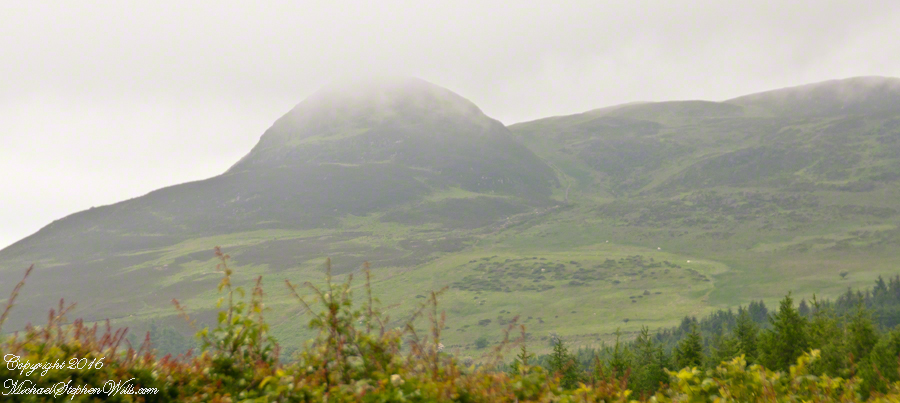
….and the distant view of the uniquely shaped peak Slievenaglogh to the southeast. Slievenaglogh in Irish is Sliabh na gCloch and means mountain of rocks. There is an identically named peak in the Mourne Mountains, to the north across Carlingford Loch. Slievenaglogh of Cooley Peninsula is an interesting element of south view from this valley.
Schoolhouse Ruin stone fence– CLICK ME!!!!

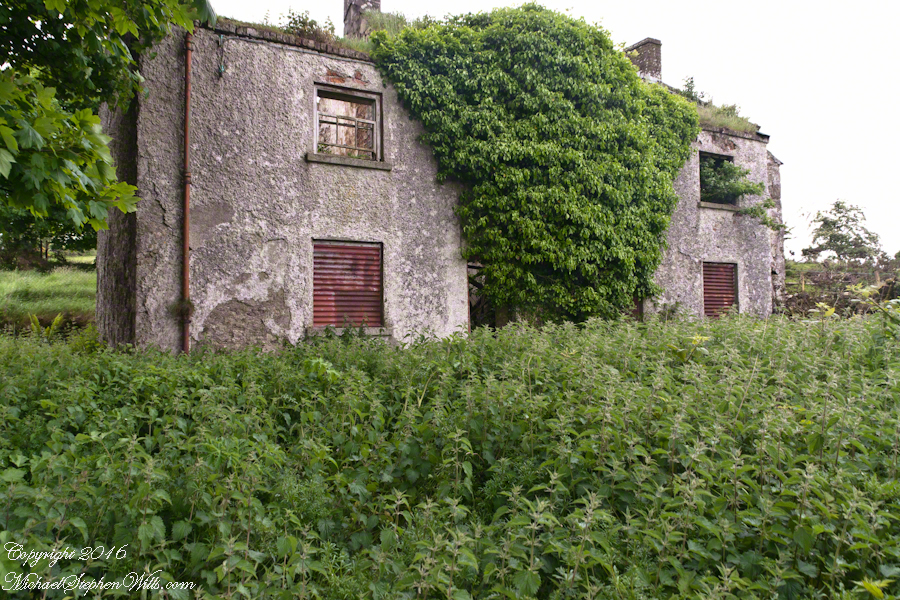
The ruin itself. Schoolhouse Ruin stone fence– CLICK ME!!!!
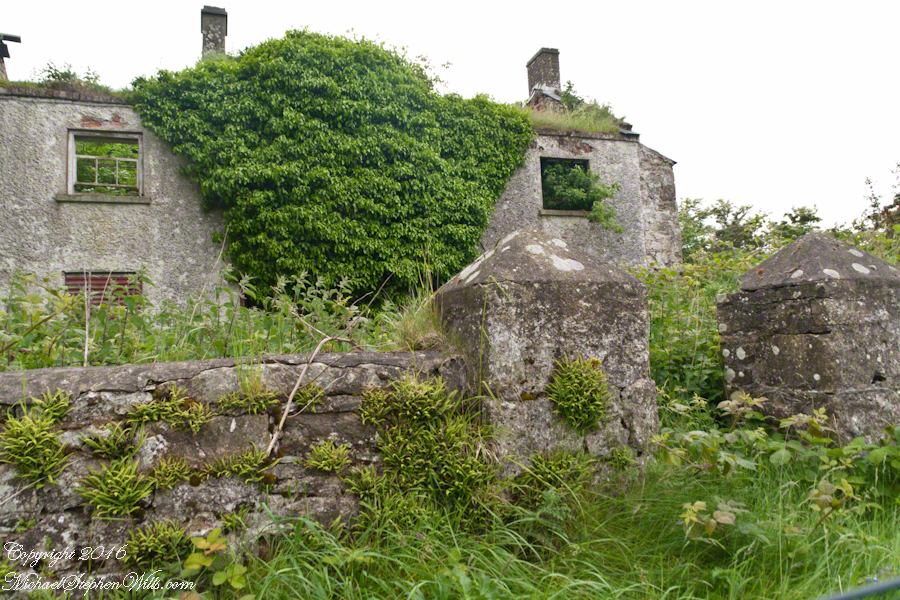
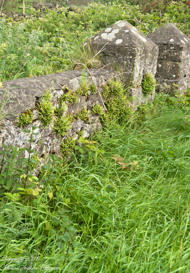
…behind a stone fence and gate posts.

Schoolhouse Ruin stone fence– CLICK ME!!!!

Overgrown with ferns, moss, grass…..

Schoolhouse Ruin stone fence– CLICK ME!!!!

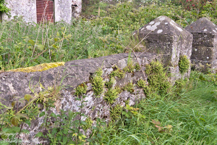
…the ever present lichen.

Schoolhouse Ruin stone fence– CLICK ME!!!!

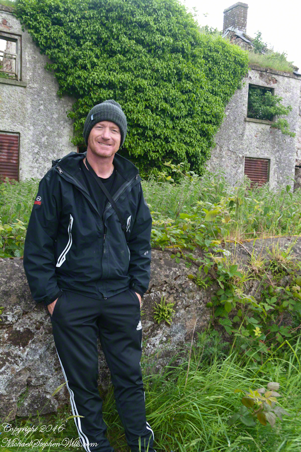
John’s son, Sean Mills, was with us.  That day, Sean lead us on Tain Way over the Golyin Pass over Slieve Foy with Carlingford as the destination.  Indeed, the Tain Way passes a few feet from this spot, being a loop of the Cooley peninsula. The Way is a two day walk, our starting point was a few miles from the schoolhouse.

Click for the previous posting in this series, “Happy Saint Patrick’s Day 2017”.

Click for the next posting in this series, “Annie Moore and her brothers”.Click for the next posting in this series, “Annie Moore and her brothers”.

Schoolhouse Ruin stone fence– CLICK ME!!!!

Irish Countryside: the Old Aghameen School, repost

Have a wonderful July 4th Holiday (from the USA)

Click me to visit this post from Ireland.

Copyright 2020 Michael Stephen Wills All Rights Reserved

On the Tain Way, repost

A place of myth and wonder on foot and approachable

Click me to visit this Ireland post.

Copyright 2020 Michael Stephen Wills All Rights Reserved