We did not come upon her the way you come upon a monument. On a late winter morning my sister and I chose to walk through the pergola alongside the Richard M. Lewis Education Center and there she was.
There is no plaza, no axial approach, no insistence. Instead, the Yarb Woman statue waits in a corner of the Robison New York State Herb Garden, where paths narrow and attention shifts from spectacle to detail. The pergola frames the space, the beds lie dormant or fragrant depending on the season, and there—almost at eye level with the plants—is the woman herself, bent into her work.
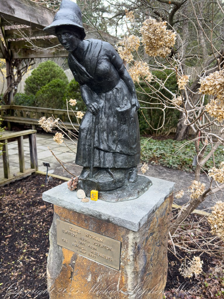
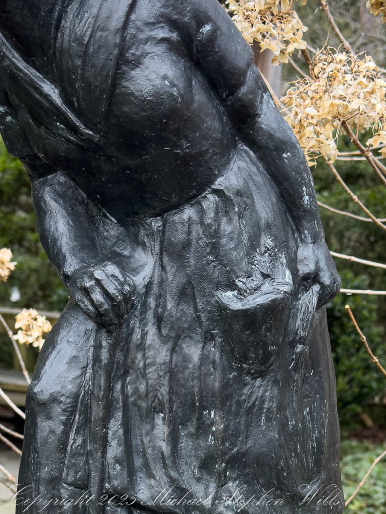
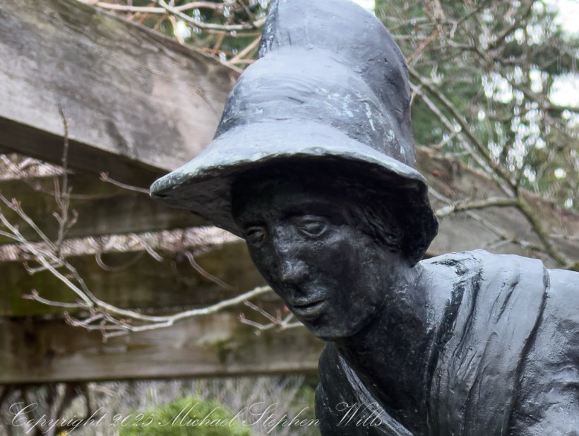
Her posture is one of reguard. That is the first instruction. Her posture is a study in intention: forward-leaning, balanced, attentive. One hand gathers, the other steadies. She is caught mid-action, not posed. This is a figure practicing herbal knowledge.

And because of that, she alters the space around her. Standing there to regard the statue the garden becomes a workplace—a field of quiet labor. Each plant is no longer merely labeled but noticed. The dried hydrangea beside her, the winter stems, the low green groundcover—everything begins to feel like it belongs to her attention.
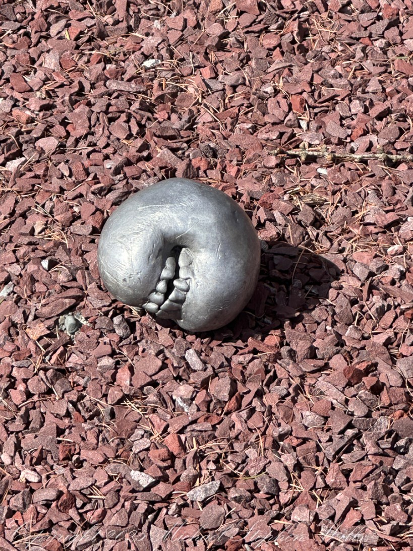
We began to notice the small offerings at her feet—stones, a tiny object left by a passerby—that suggest that others have felt this shift. Not worship, exactly, but recognition. A kind of informal acknowledgment that this figure gathers more than herbs; she gathers meaning from the overlooked.
There is something deliberate in her scale. She is not monumental. She does not dominate the garden. Instead, she invites you downward—to stoop, to look, to consider what is beneath your habitual line of sight.
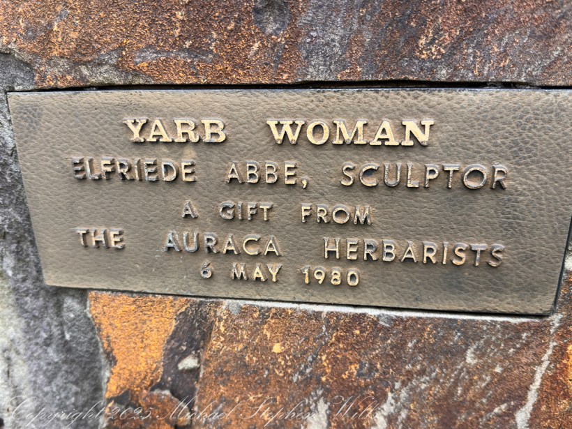
This is consistent the sculptor, Elfriede Abbe’s, larger artistic life. She was not drawn to grand gestures but to process: carving wood, printing pages, observing the minute structures of plants. In “Yarb Woman”, that ethic becomes embodied. The sculpture is less about a person than about a way of being in the world.
To gather. To attend.To work with care.
Standing there, you may feel the subtle inversion: the garden becomes something you enter into, as she has. The distance between observer and participant narrows.
And time shifts slightly. The date on the plaque—1980—anchors the piece historically, but the figure herself resists that anchoring. Herbal practice stretches backward through centuries of unnamed practitioners, most of them women, most of them unrecorded. She could belong to any of them. Or to all.
Even the word “yarb” participates in this temporal layering—an old word surviving in a modern garden, just as old knowledge survives in new forms.
What we encountered, then, was not simply a sculpture. It was a quiet proposition:
That knowledge can be gathered slowly.
That attention is a form of reverence.
And that in the midst of a university—of speed, abstraction, and analysis—there remains a place where understanding begins with kneeling close to the ground.
And noticing what grows there.