On to Cowsheds Waterfall
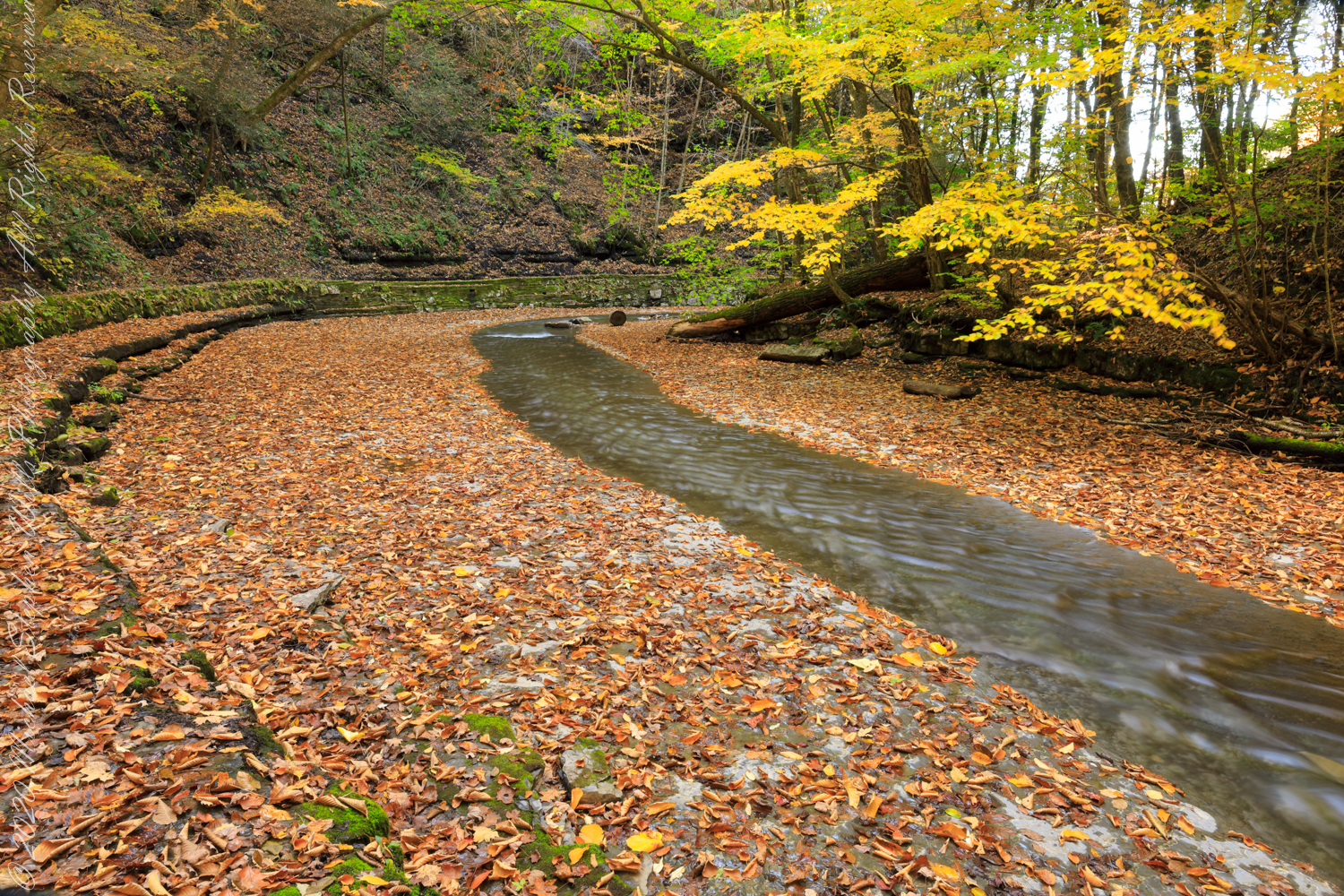
The bed of Dry Creek bends before the fall. Fillmore Glen, New York State Park, Moravia, Cayuga County, New York
around the bend…..
…and over the brink.
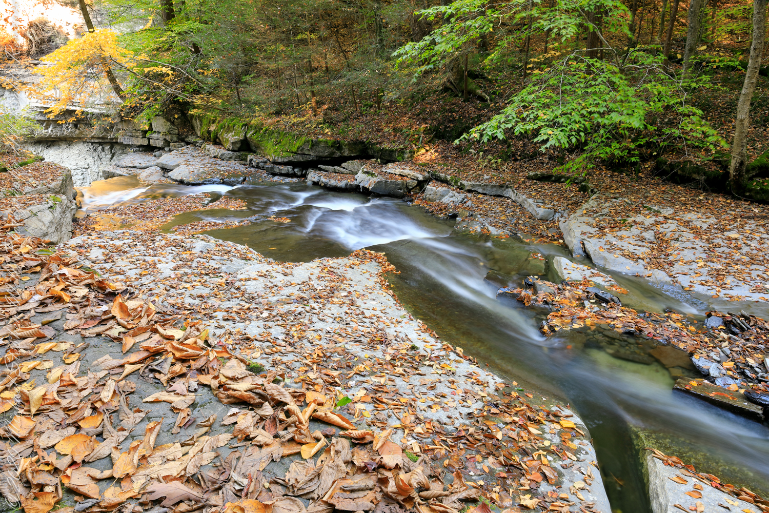
Fillmore Glen New York State Park, Cayuga County, Moravia, New York

Take the Leap, or Not
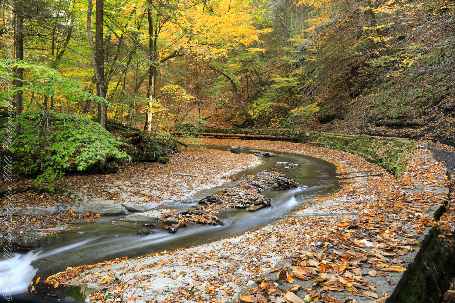
The bed of Dry Creek bends before the fall. Fillmore Glen, New York State Park, Moravia, Cayuga County, New York
Fillmore Glen New York State Park, Cayuga County, Moravia, New York

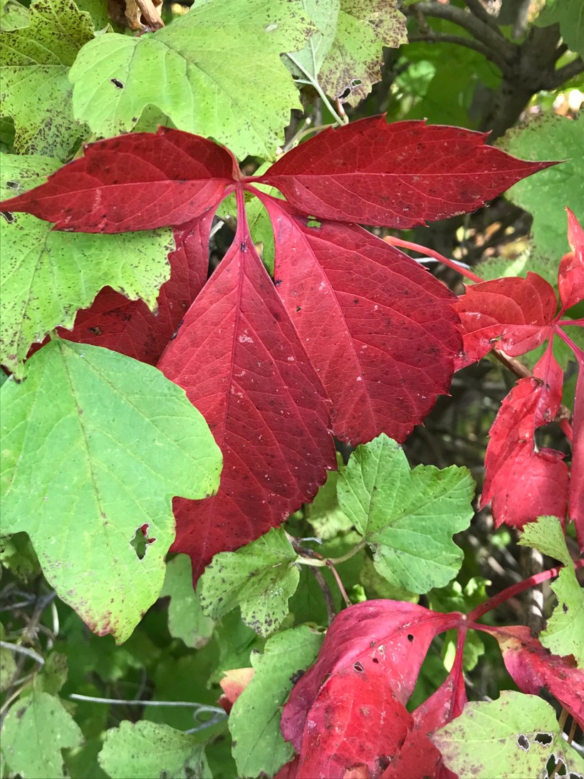
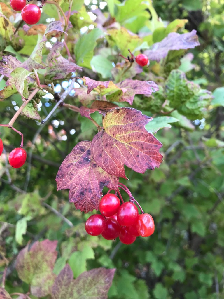
Fillmore Glen Autumn
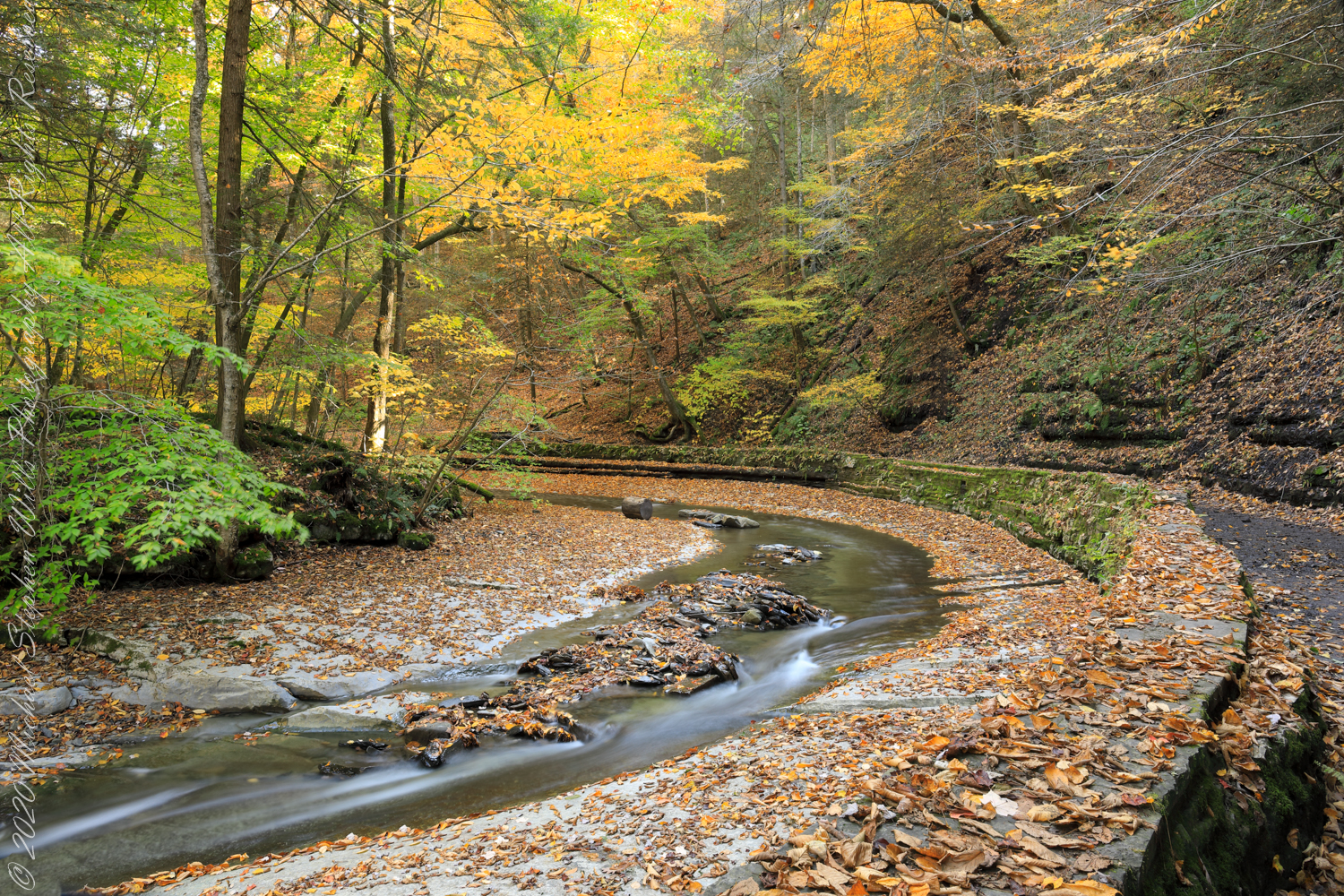
The bed of Dry Creek bends before approaching Cowsheds waterfall drop-off. Fillmore Glen, New York State Park, Moravia, Cayuga County, New York

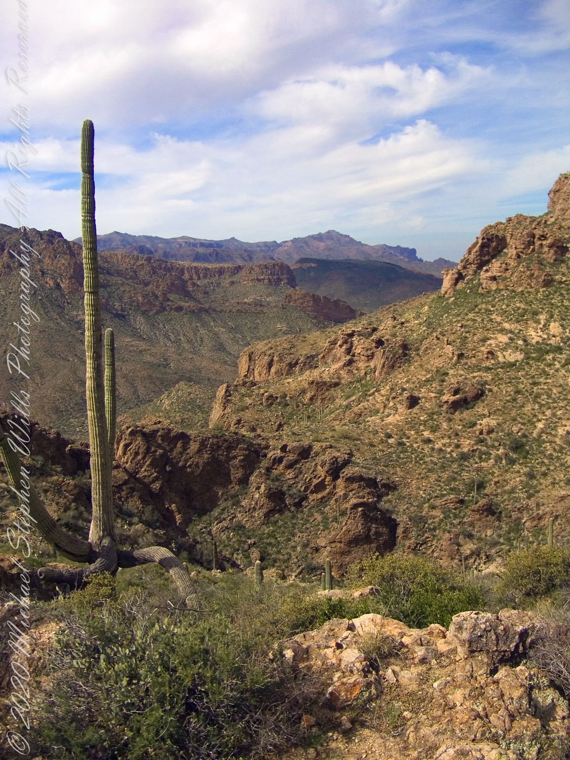
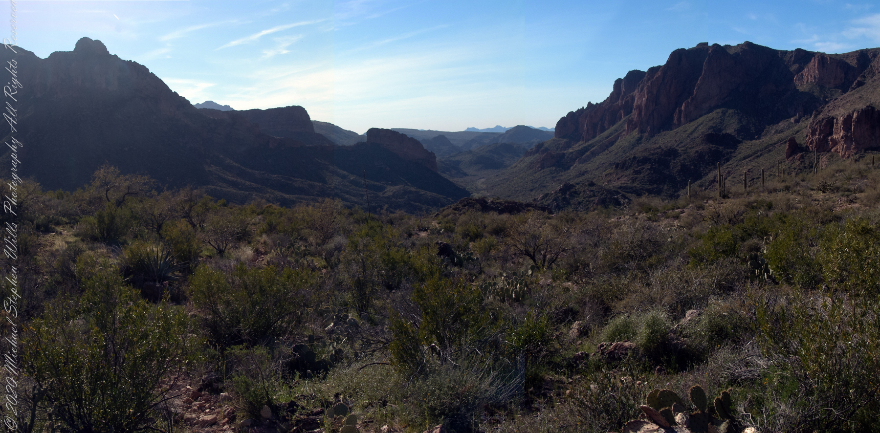
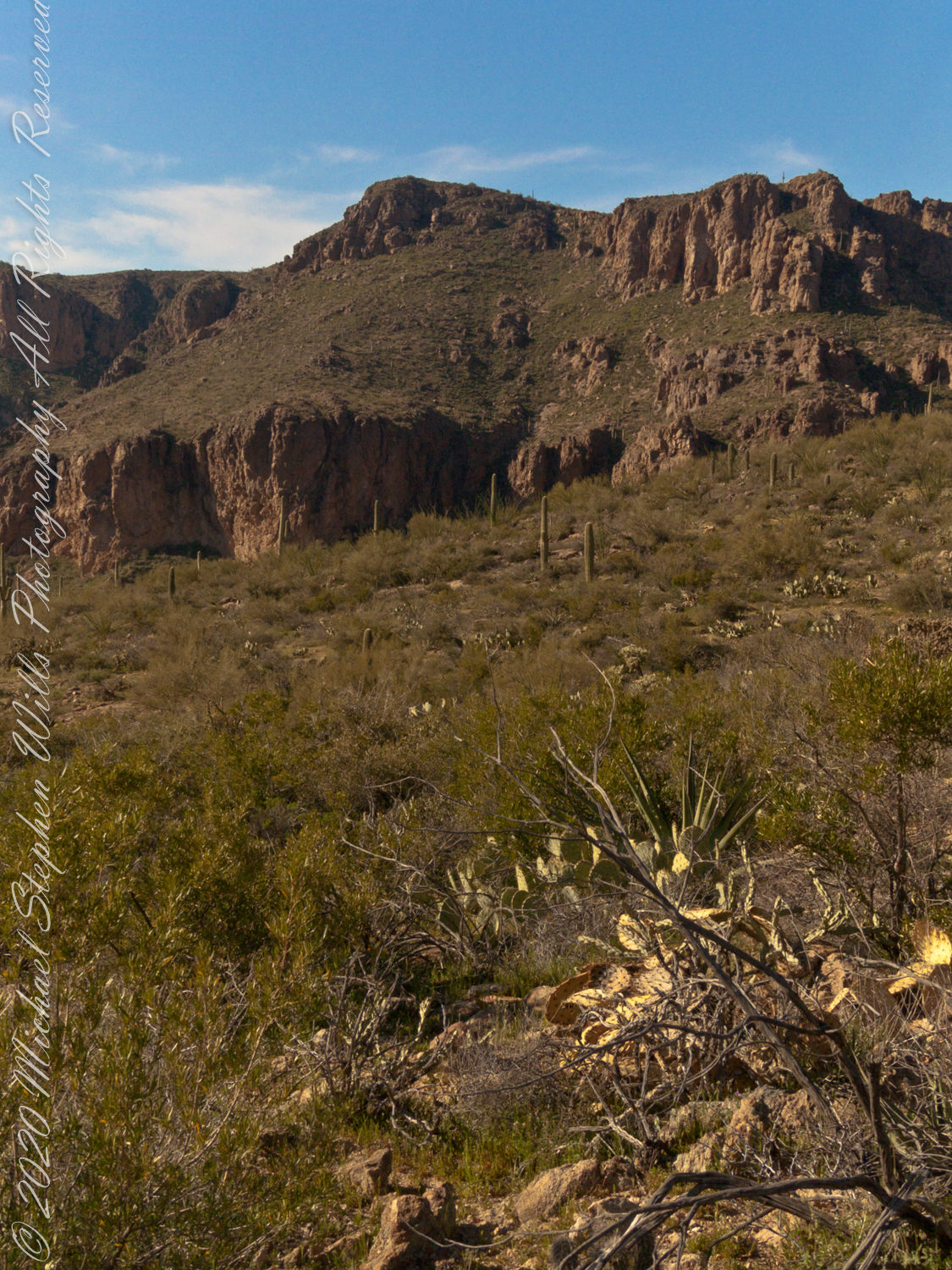
On Peter’s Mesa
View North / Northwest from Peter’s Mesa. At our feet is a mature Saguaro Cactus towering over Charlebois Canyon, to the right Black Mountain. Bluff Spring Mountain, middle distance, then Black Top Mesa. Flatiron Peak, of the famed Superstition Mountain, is in distance. Photographed from Peter’s Trail on a March afternoon 2008. Superstition Wilderness, Tonto National Forest, Arizona
Bluff Spring Mountain, middle distance, then Black Top Mesa. Flatiron Peak, of the famed Superstition Mountain, is in distance. Photographed from Peter’s Trail on a March afternoon 2008. Superstition Wilderness, Tonto National Forest, Arizona
Copyright 2022 Michael Stephen Wills All Rights Reserved
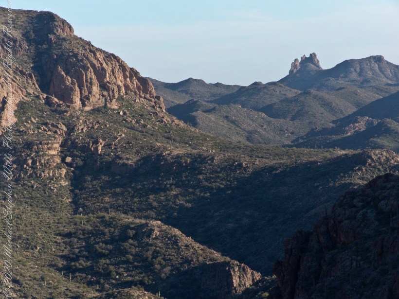
Can you see the Needle’s Eye?
The eye of Miner’s Needle is clear in both these South / Southeast views from Peter’s Mesa looking across the Music Canyon.
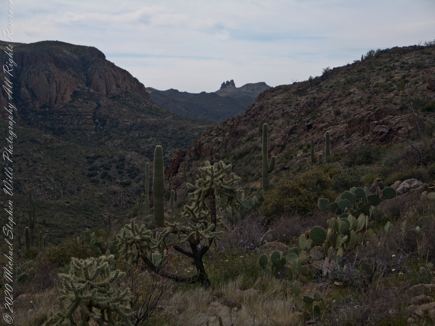
Many wildflowers, sprinkled like stars through the foreground of the morning photograph with Prickly Pear, Cholla and Saguaro cactus. Beware of “Jumping Cholla”, named for its seeming ability to attack passers-by. Another name, “Hanging Chain Cholla”, is more appropriate. Each chain with many hooked barbs is lightly attached to the branch, ready to snag a ride from unwary hikers.
Light rakes across the landscape in the evening photograph, taken from another vantage point on Peter’s Mesa. Miner’s Needle is four (4) miles away “as the crow flies,” i.e., line of sight distance.

Copyright 2022 Michael Stephen Wills All Rights Reserved
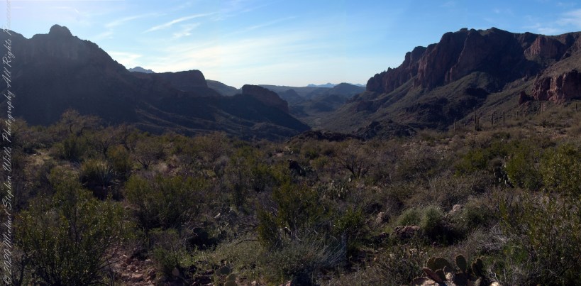
Superstition Glory
View North / Northwest from Peter’s Trail looking back the way we came. Black Mountain on right, Bluff Spring Mountain left with LaBarge Canyon running to the Red Hills center. On a March afternoon 2008.
Copyright 2022 Michael Stephen Wills All Rights Reserved
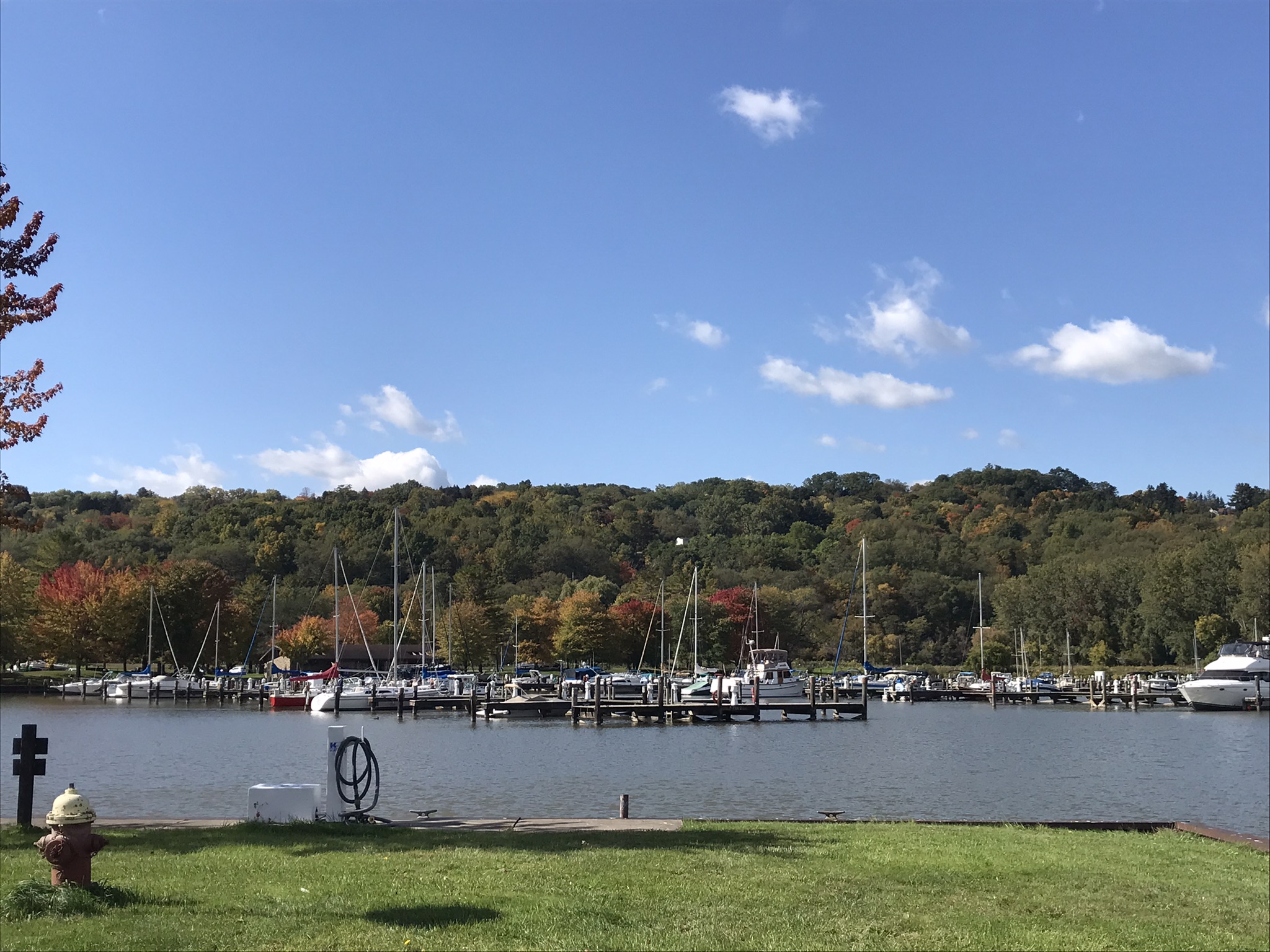
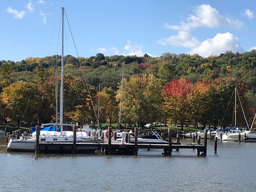
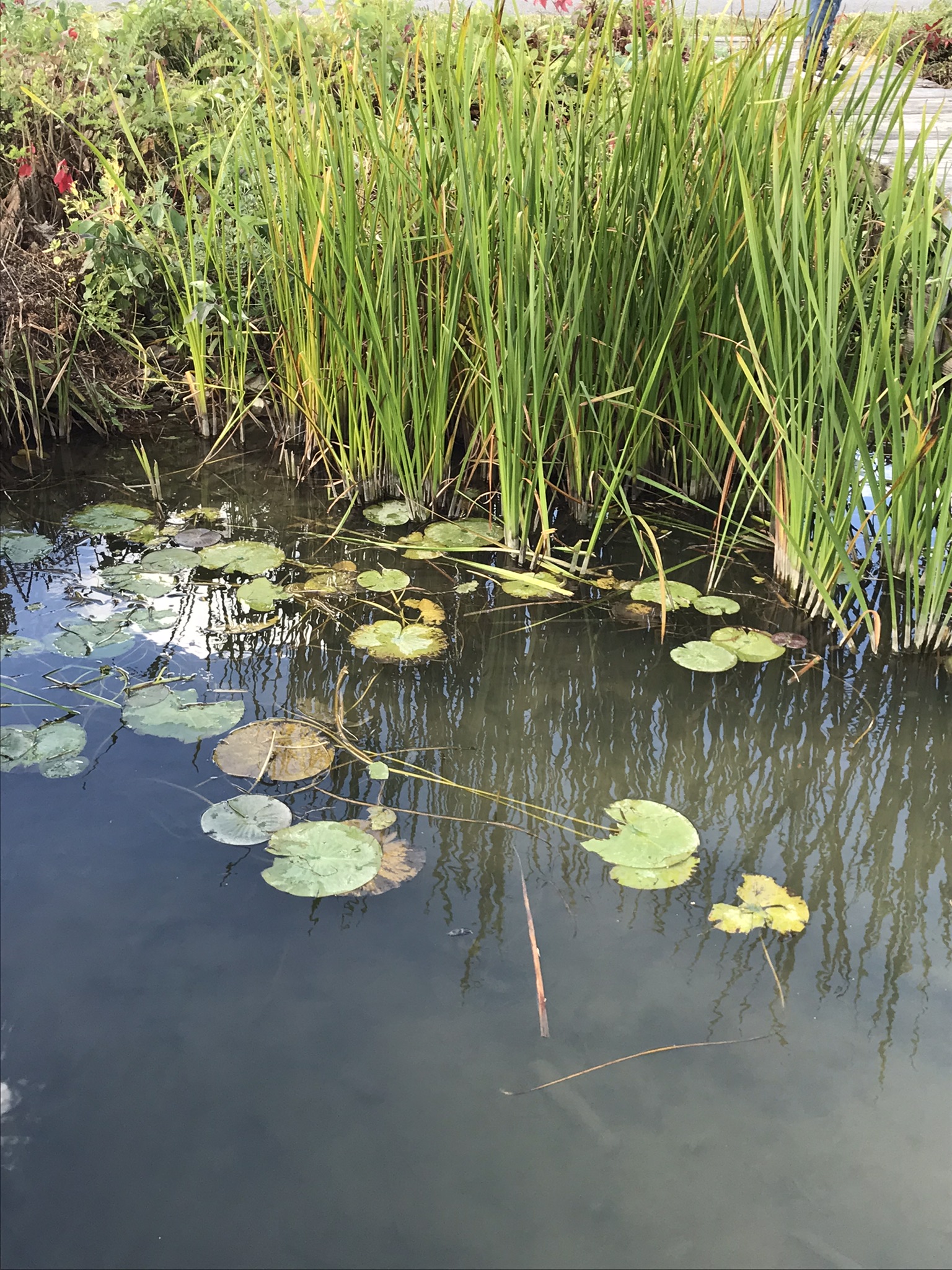
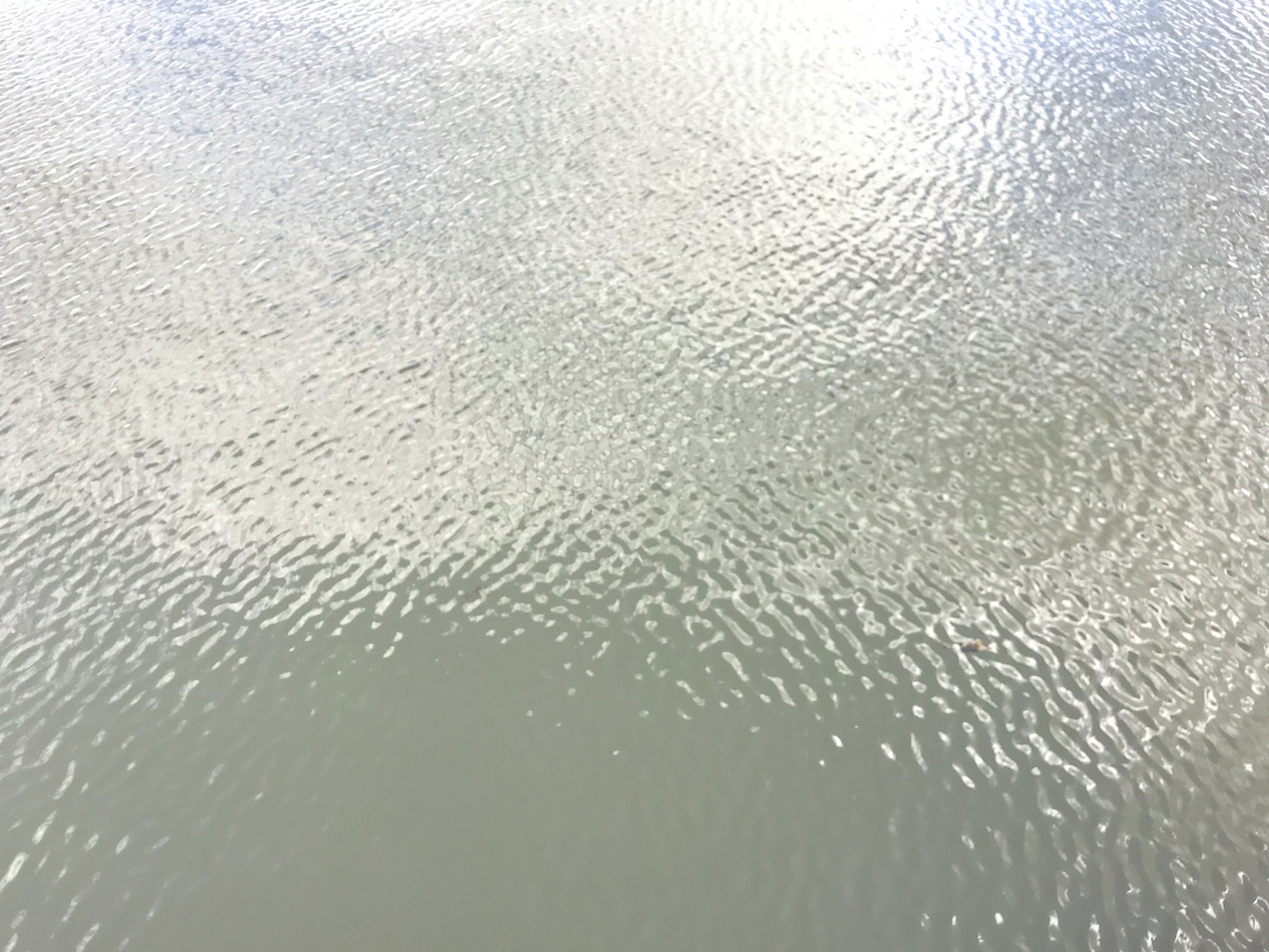
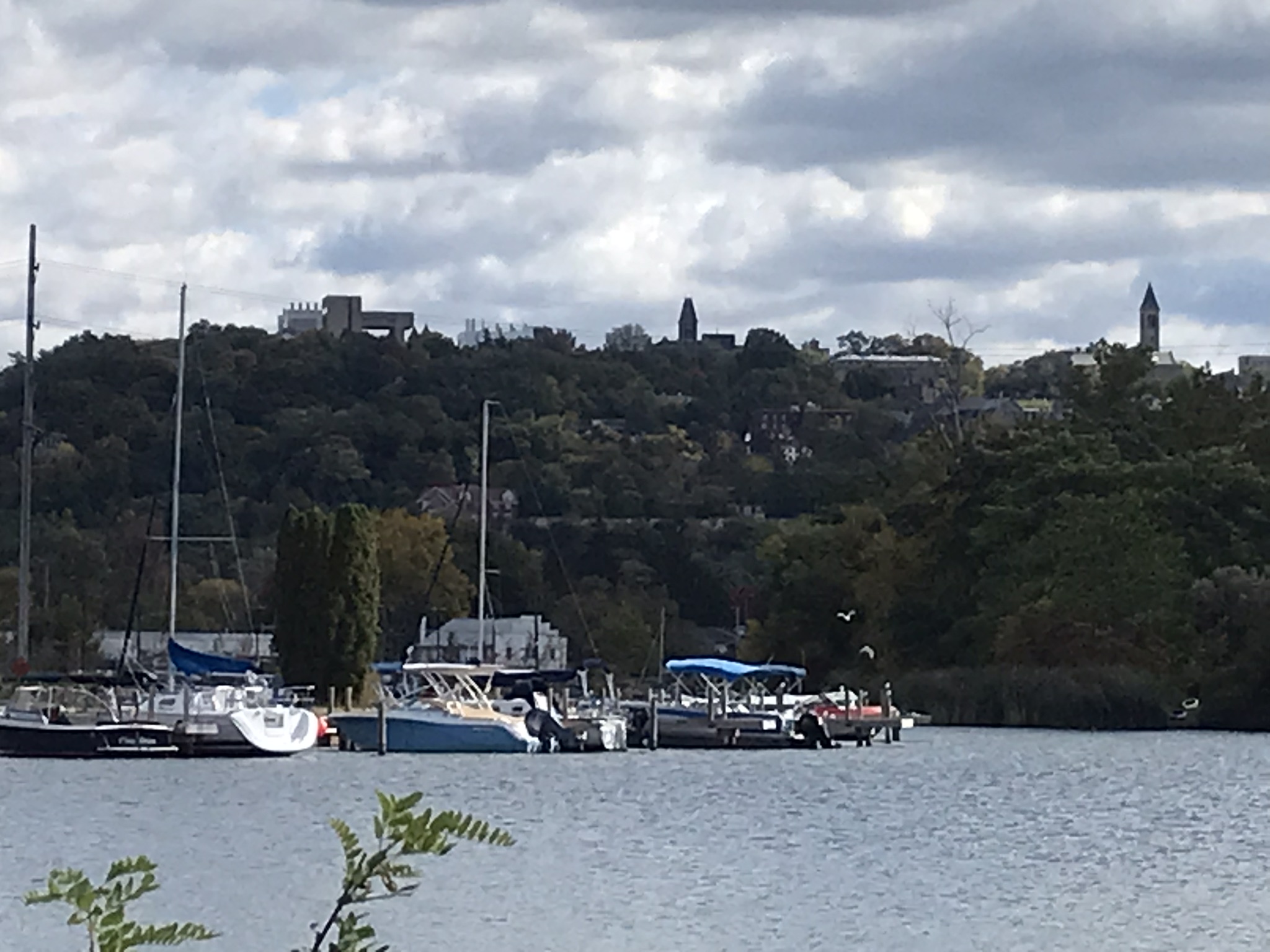
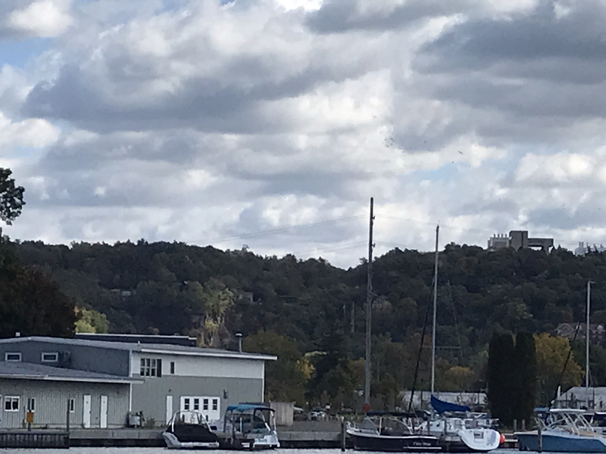
Cass Park
Pam and I arrived early to Cass Park for our grandson’s October afternoon soccer match, in time for a 2 mile walk on the generous footpaths. This is my impression of that time, from the IPhone 7’s camera.
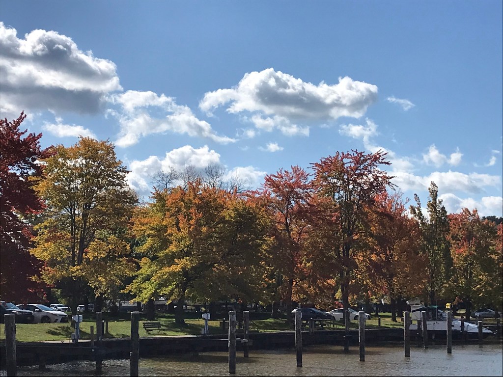
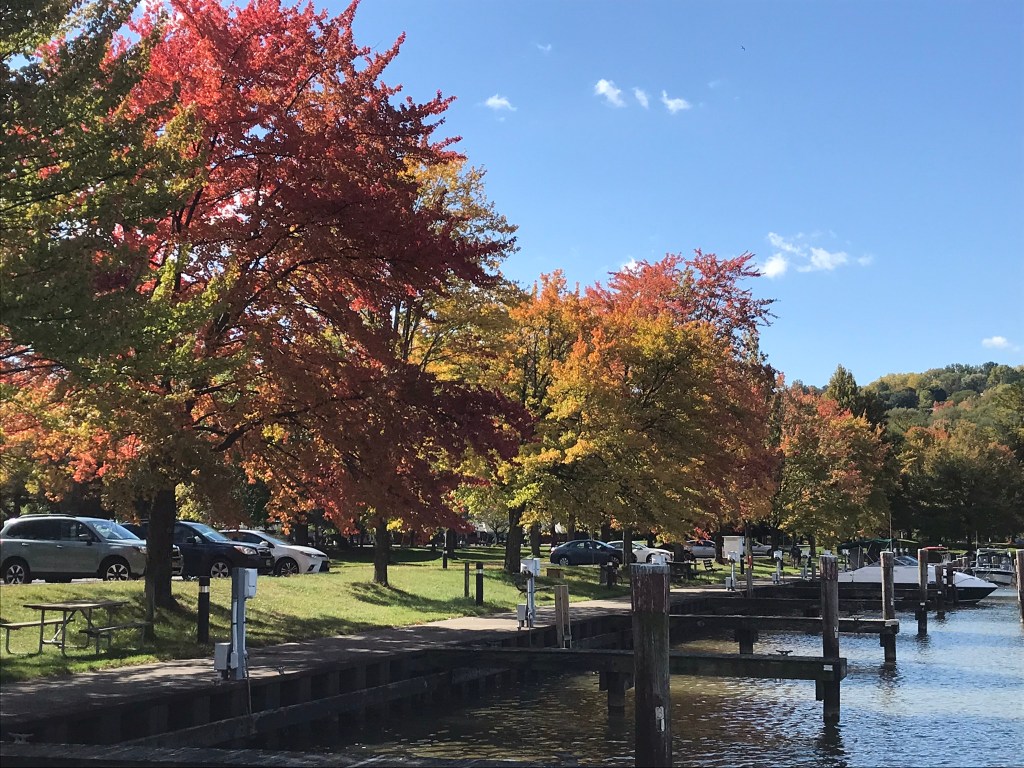
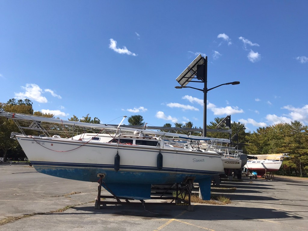

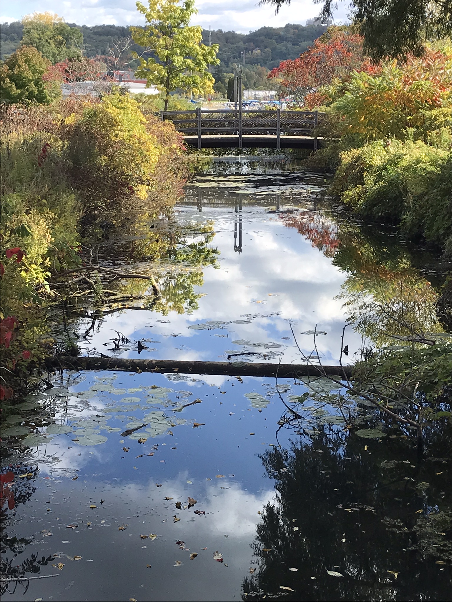
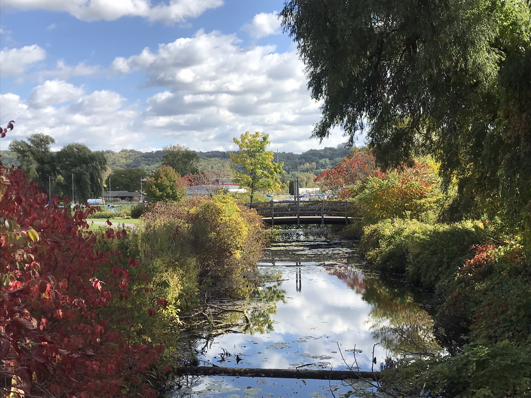
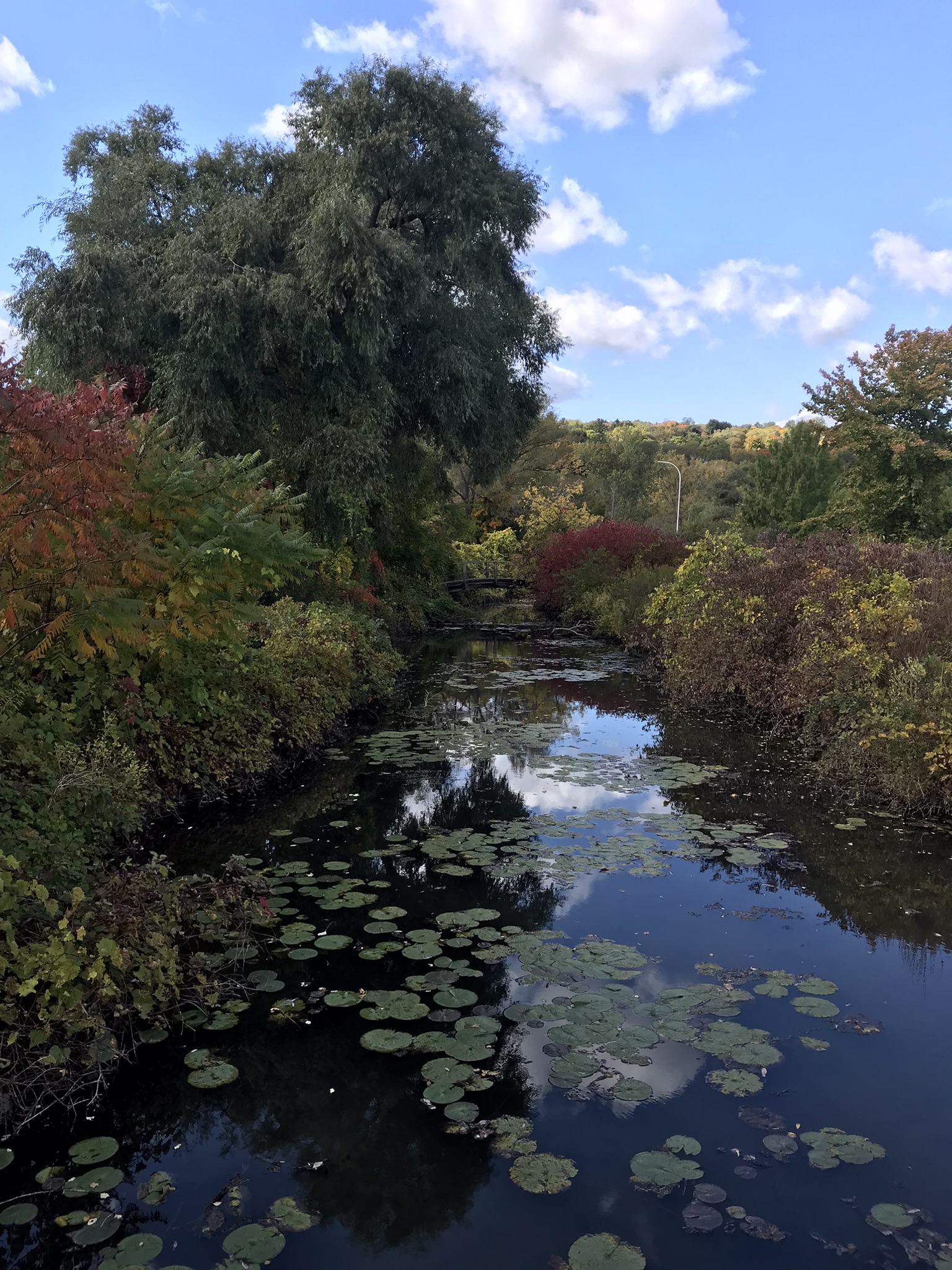
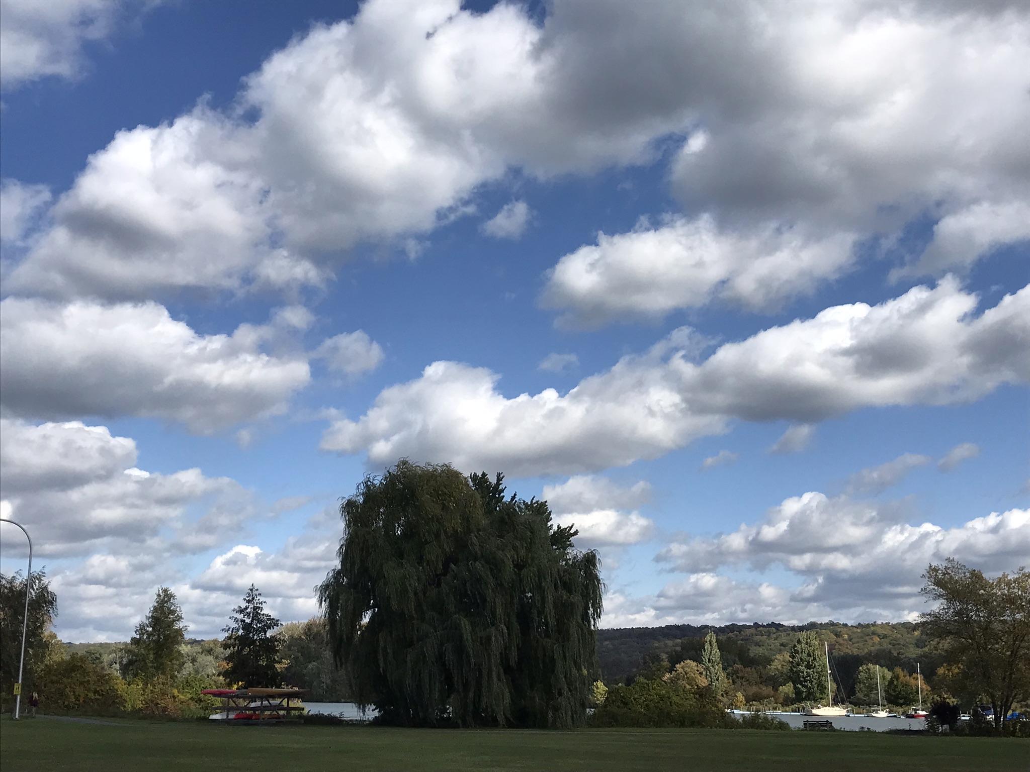
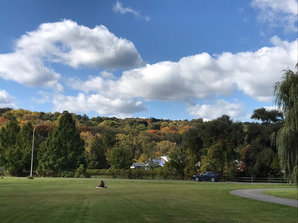
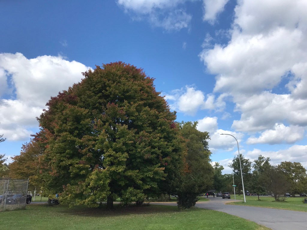
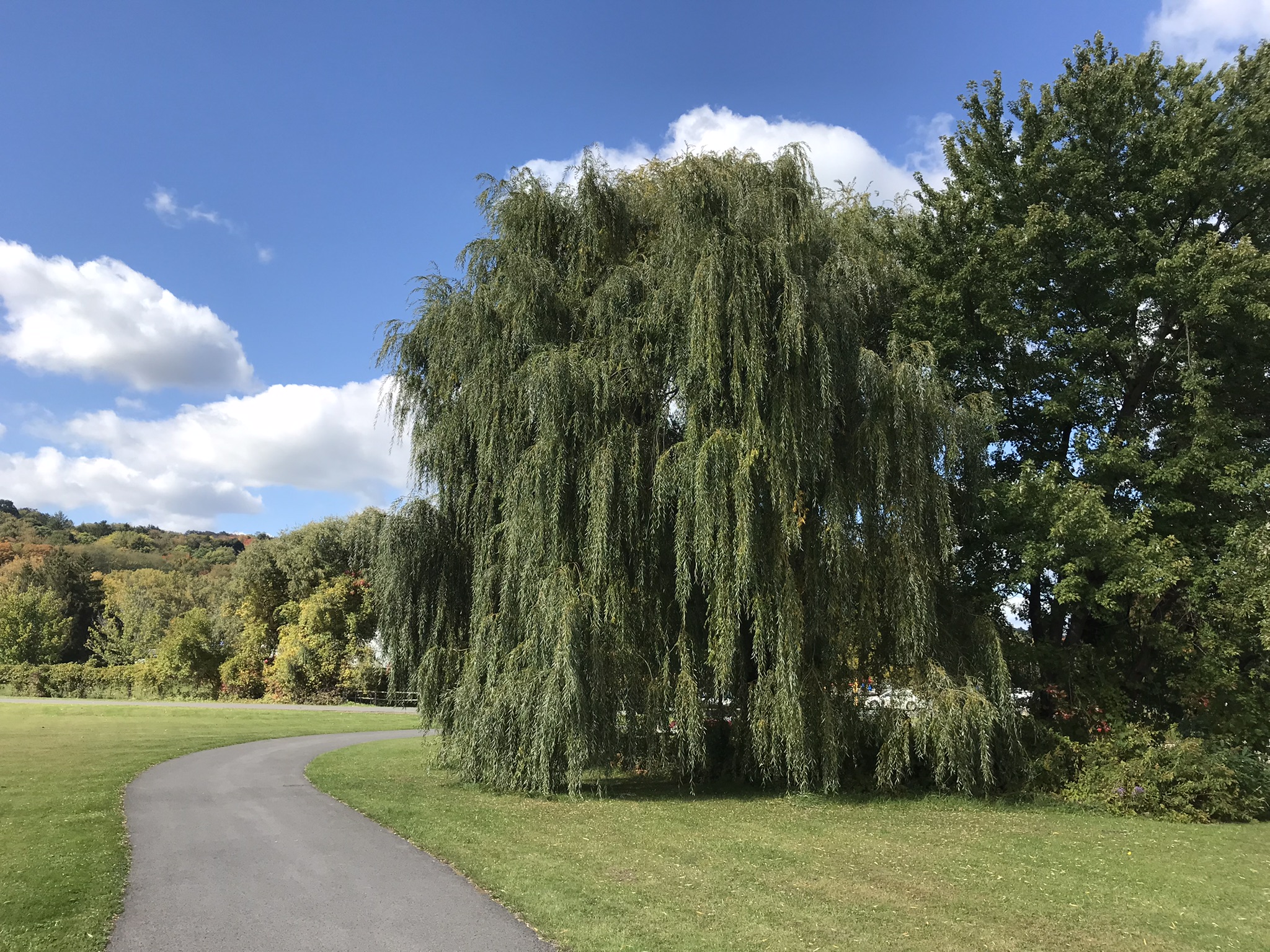
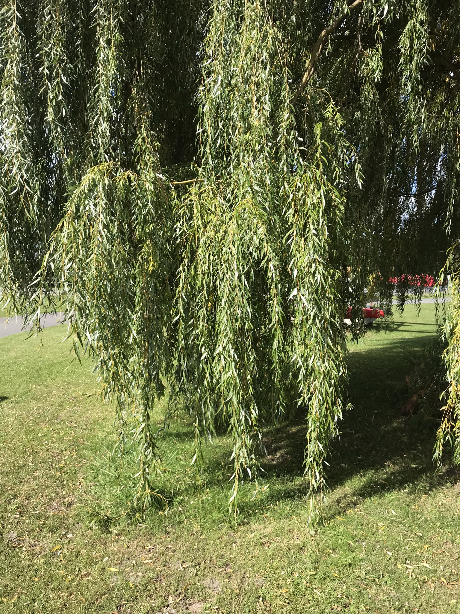
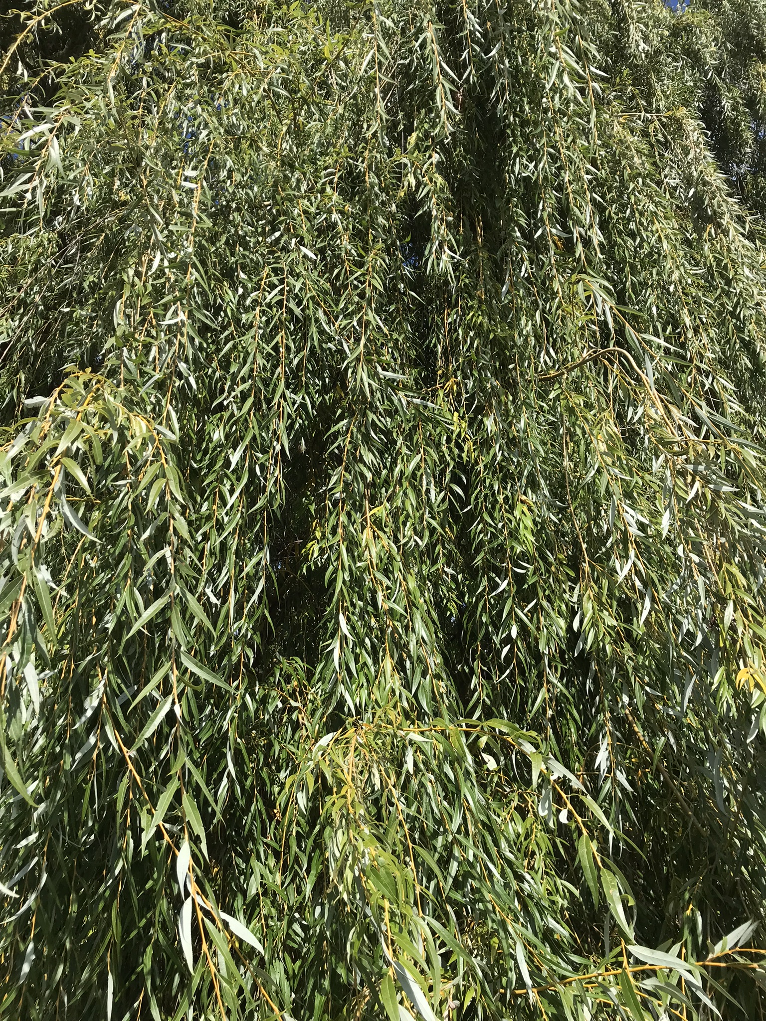
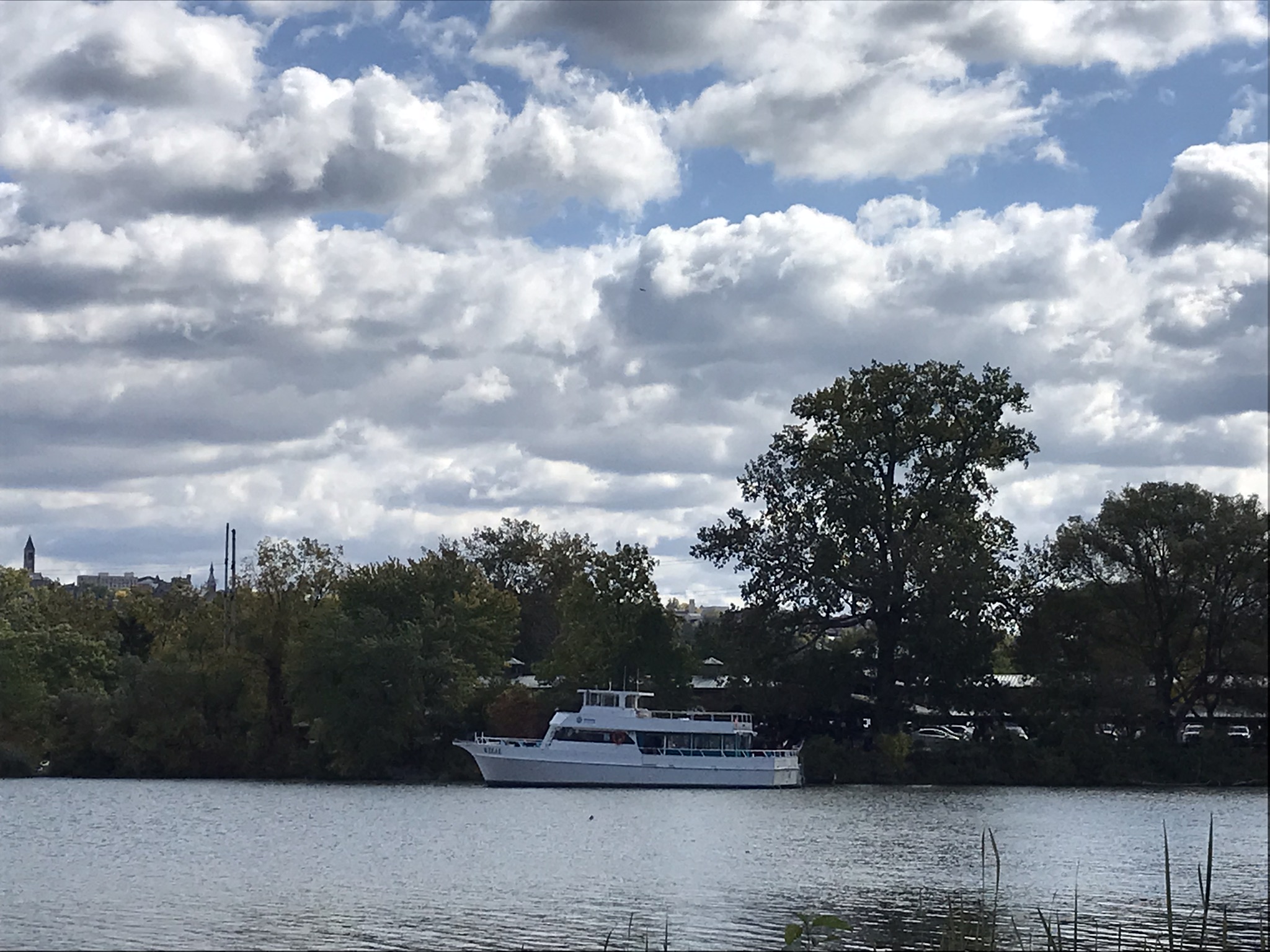
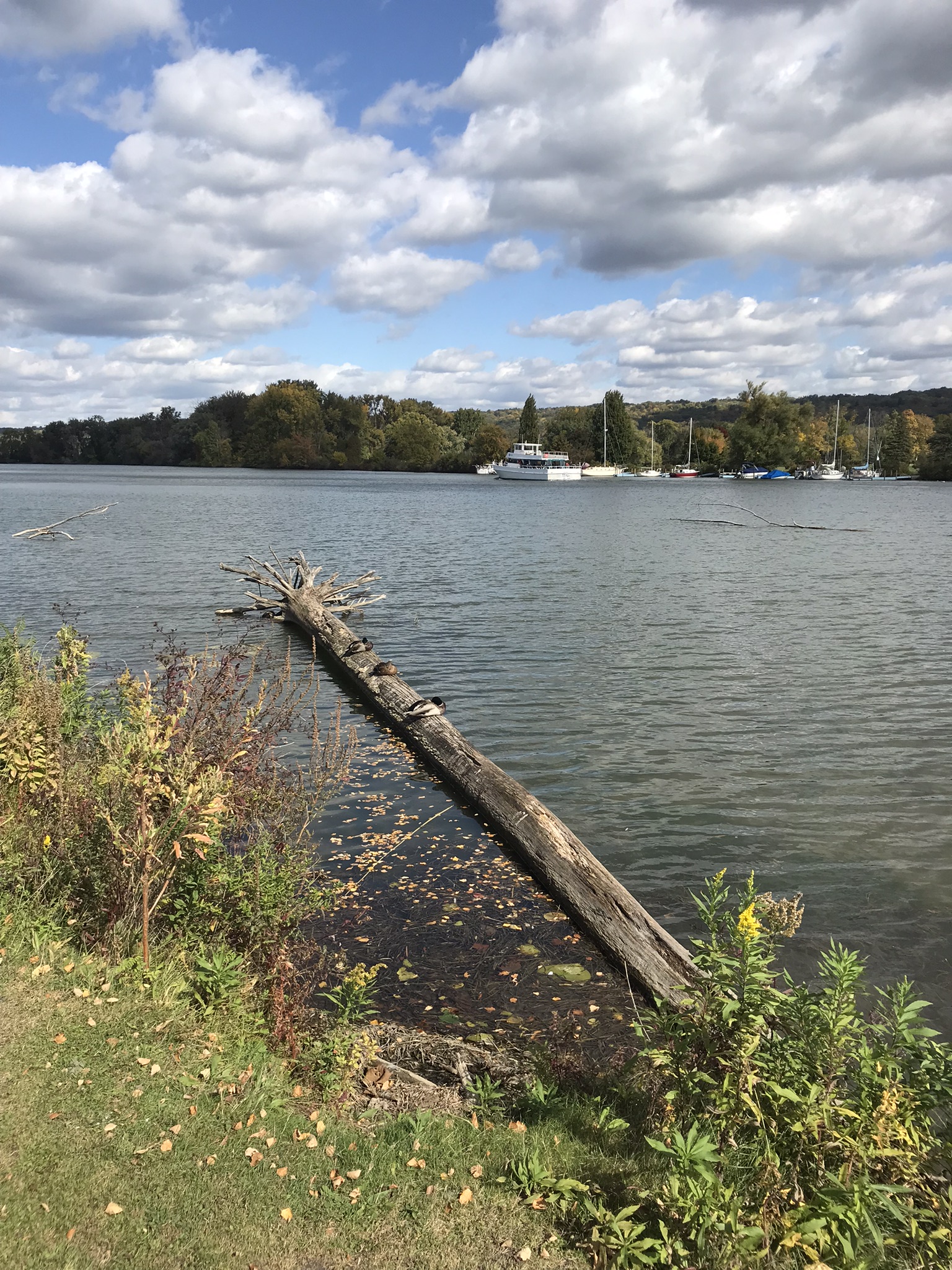
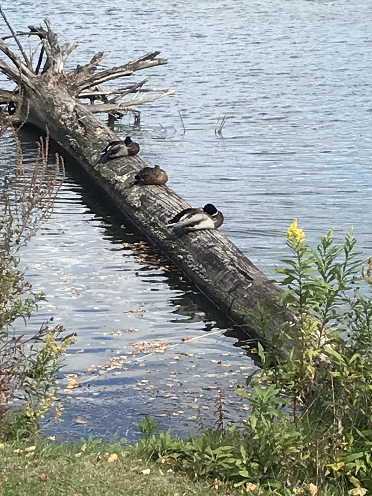
This completes our Sunday afternoon walk around Cass Park, Ithaca, New York.
Copyright 2022 Michael Stephen Wills All Rights Reserved

Roasted Yucca
Here we are climbing Peters Trail to the eponymous mesa and facing East to Music Mountain. Scattered in the brush are desiccated and live Prickly Pear cactus. Poles of young saguaro cactus like randomly placed telephone poles poke up around the lower slopes.

The first published record of Music Mountain is by Ray C. Howland of Mesa Arizona who sent a letter to “Everybody’s Magazine” that appeared in a feature called “Everybody’s Meeting Place: Where writers, readers and the editor gather for informal discussion,” May 1928, Volume 58, Issue 5, page 173. I reproduce Howland’s letter here with minor editing:
Here is a copy of that issue for you to see for yourselves.
In my photographs the bluffs described by Howland are seen clearly in the distance. During our expedition we were never able to visit the caves, though Dave described the location, caves, and dwellings. On Peter’s Mesa are remains of pits where Apaches and Yavapais gathered hearts of agave to roast. We visited a small cave in the side of Peter’s Mesa showing signs of high heat and possibly used for roasting agave.
Copyright 2022 Michael Stephen Wills All Rights Reserved
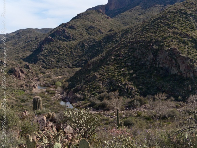
Down South
Dutchman Trail follows the outflow of two springs along the canyon floor: Music Canyon and LaBarge springs. Here we are climbing Peters Trail to the eponymous mesa and facing south / Southeast, looking down on Dutchman Trail.

This is rough country below Bluff Spring Mountain. Stag Horn Cholla cactus is lower right with Prickly Pear cactus scattered in the brush. Poles of young saguaro cactus are scattered around the lower slopes.
Copyright 2022 Michael Stephen Wills All Rights Reserved

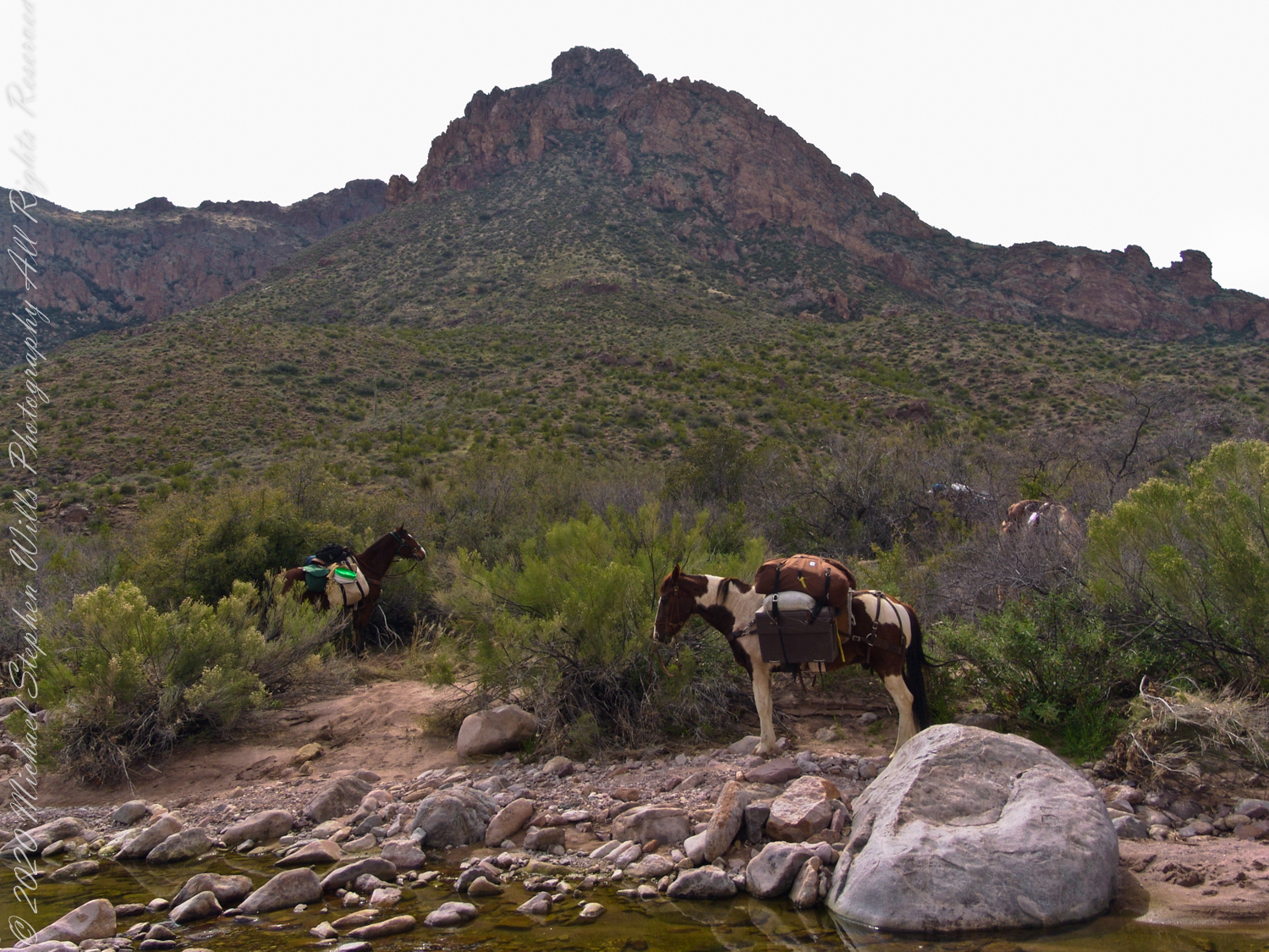
Million Dollar View
After a respite among the cool spring waters, we headed up Peters Trail for the top of Peter’s mesa where, for all we knew, there was no water.
In this photograph I face northwest, looking down on Dutchman Trail. The peak, upper center left, is Black Mountain. The cleft of Charlebois Canyon is lower middle right. Stag Horn Cholla cactus is lower right with Prickly Pear cactus scattered in the brush. Poles of young saguaro cactus are scattered around the lower slopes. Look carefully and you can make out the pooled water of our rest stop.
Copyright 2022 Michael Stephen Wills All Rights Reserved
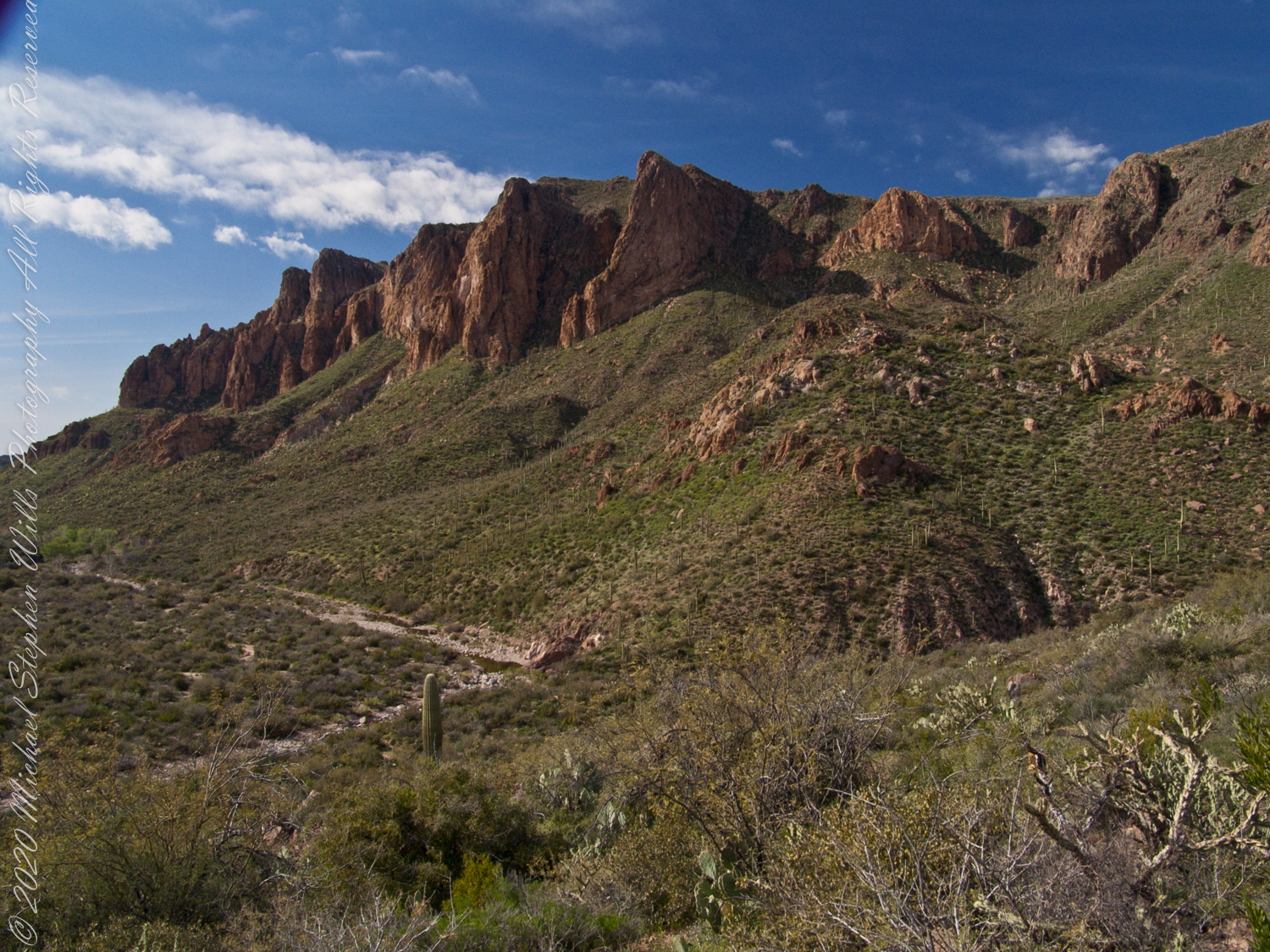
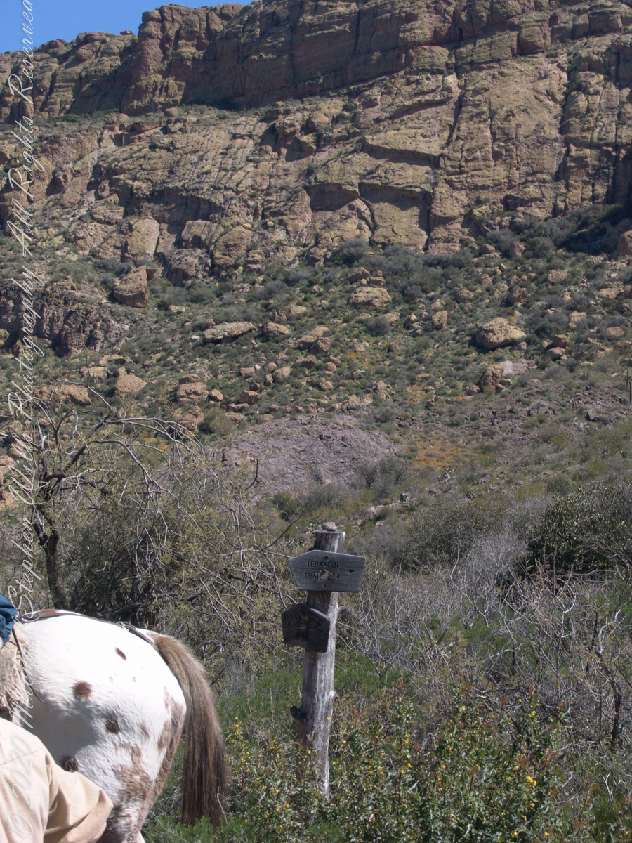
The beetling cliffs of Bluff Spring Mountain
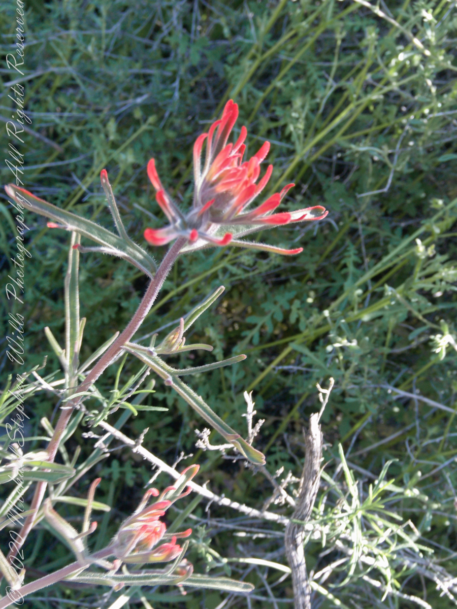
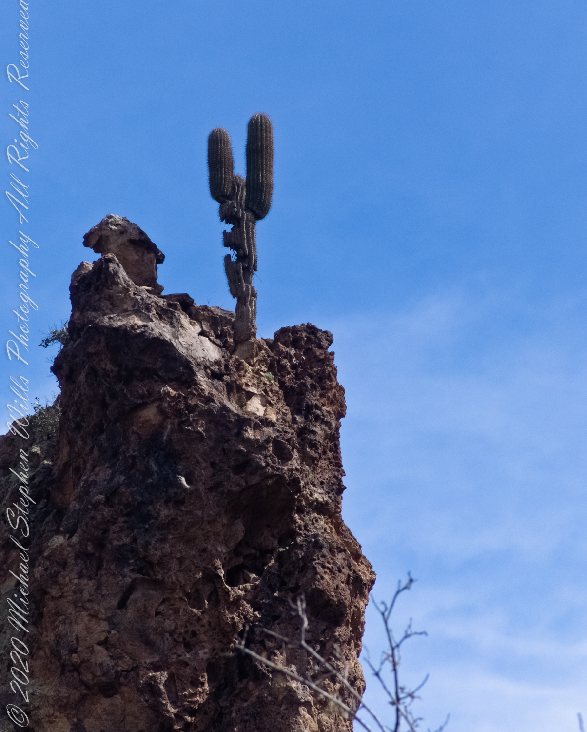
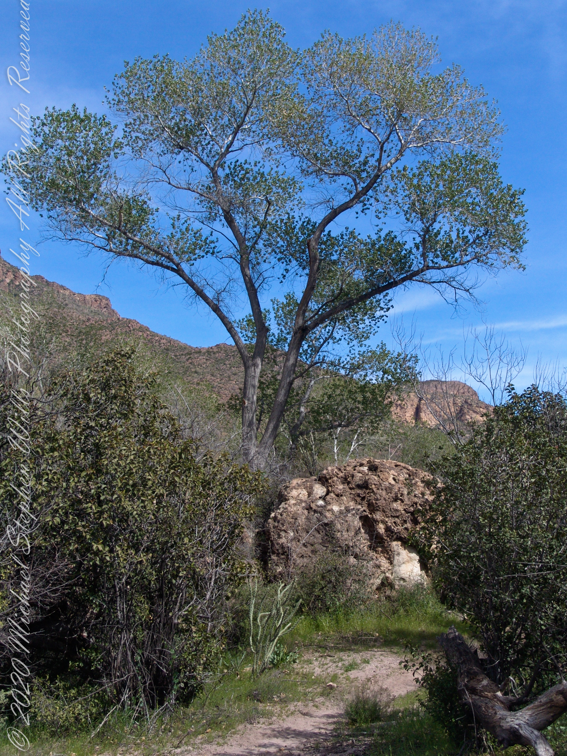
Here is a recap of the last few Superstition Wilderness posts. The expedition route, in red, starts on the right where Dutchman and Terrapin trails meet. The total distance is 2.6 miles. Photograph timestamps tell me about 2 hours passed — 1.3 miles per hour in this rough country.
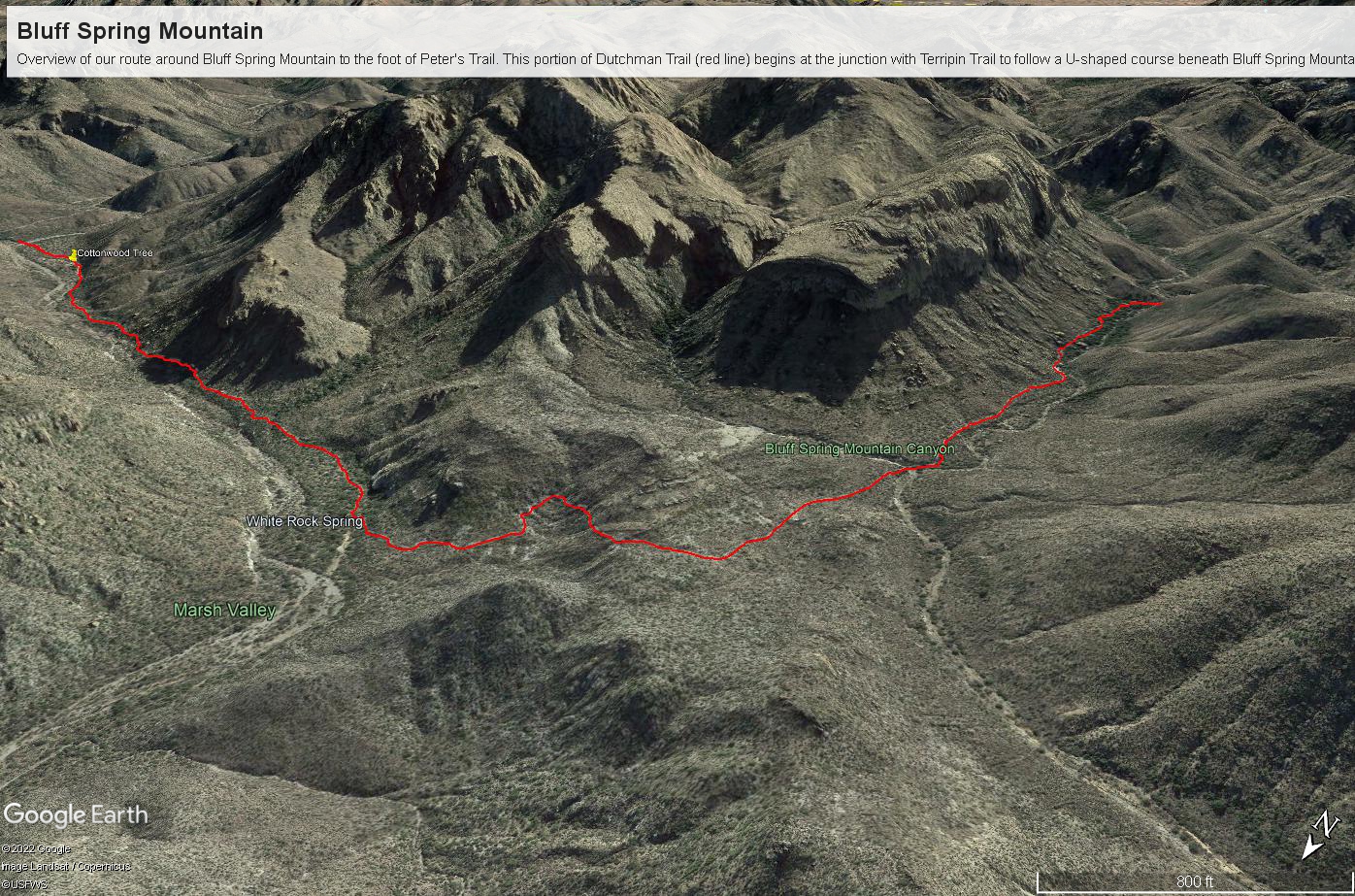
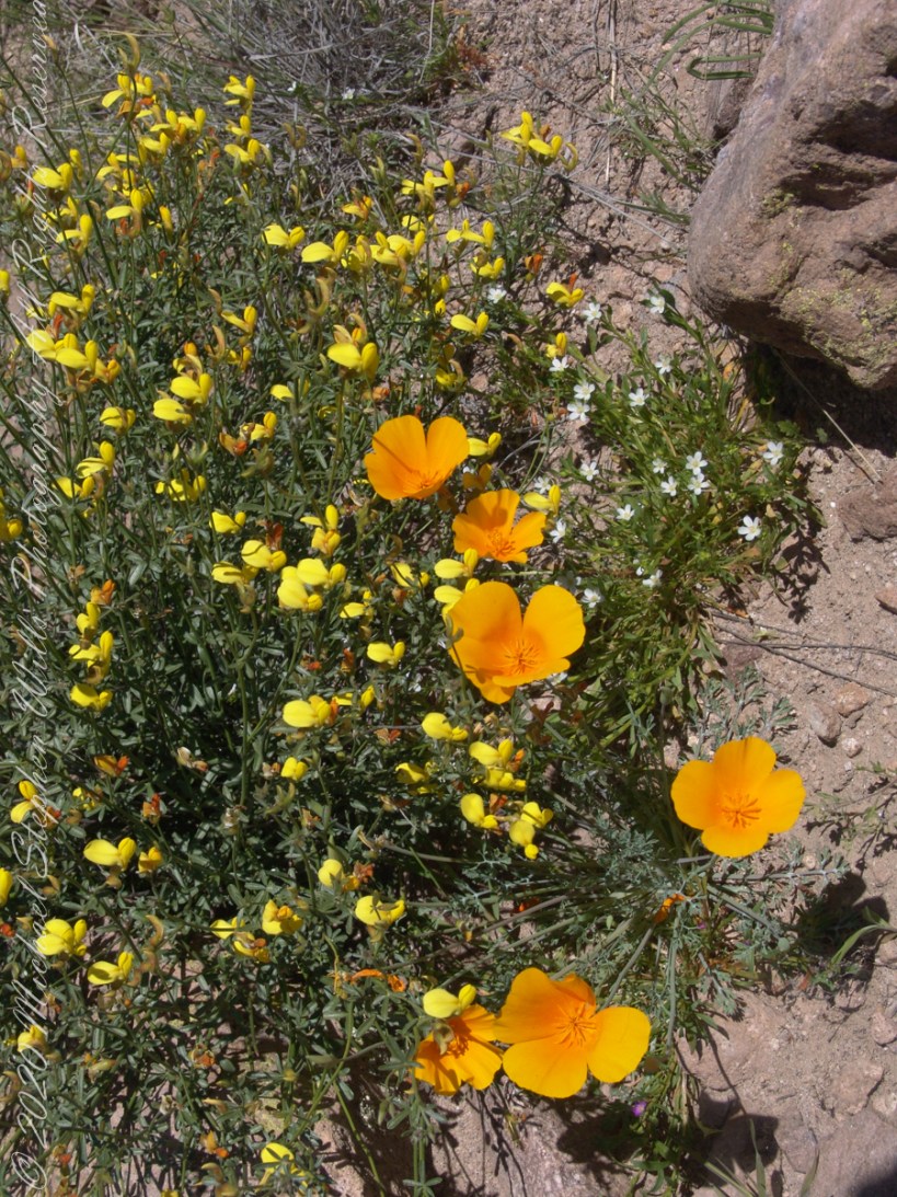
I came upon the wildflowers of “Desert Color” a few minutes after starting.
“Ominous Splendor” photograph was taken just before Bluff Spring Mountain Canyon (green text).
“Marked Saguaro” was encountered a few minutes before the Cottonwood tree of “Riparian,” marked with a pushpin.
“Spring Flow” is the endpoint on left.
Here is a gallery of photographs from this portion of our expedition.


Copyright 2022 Michael Stephen Wills All Rights Reserved
