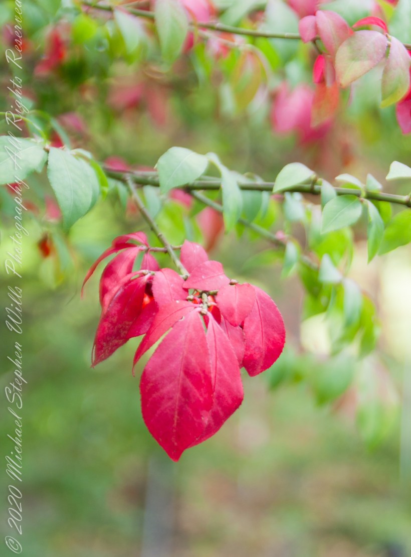
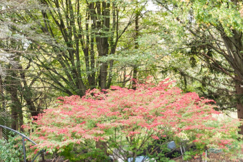
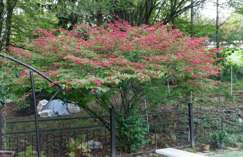
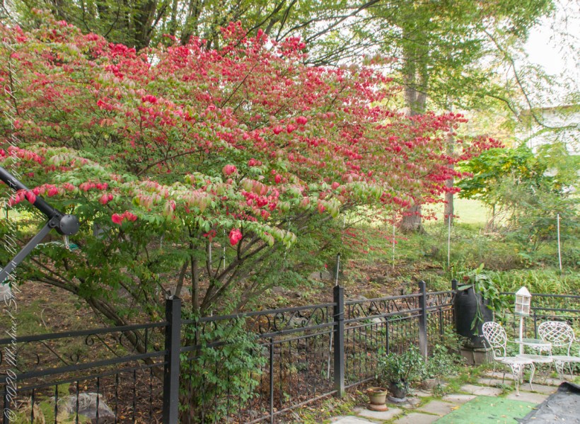
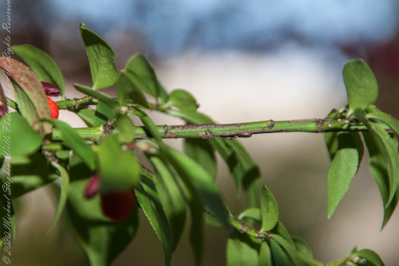
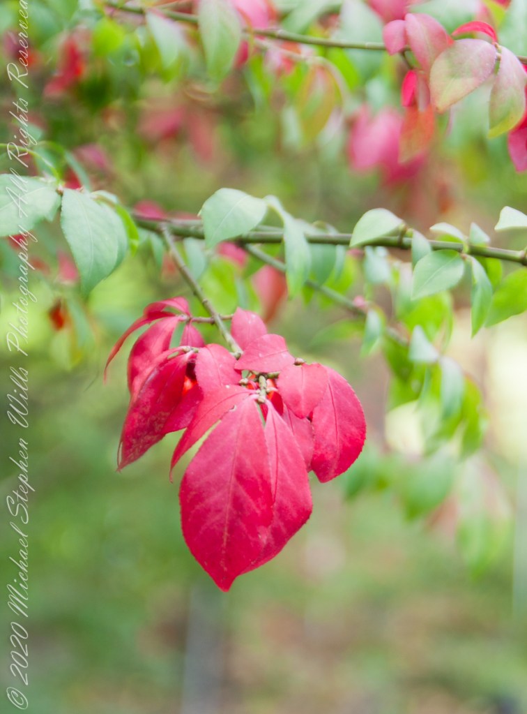
After we came home from the Underground Railroad excursion, with a camera and time on my hands, this Euonymus bush fringed with scarlet leaves caught my eye. Starting with a leaf here and there in September the flame-like color spreads until it takes on the character it is named for “Firebush.”
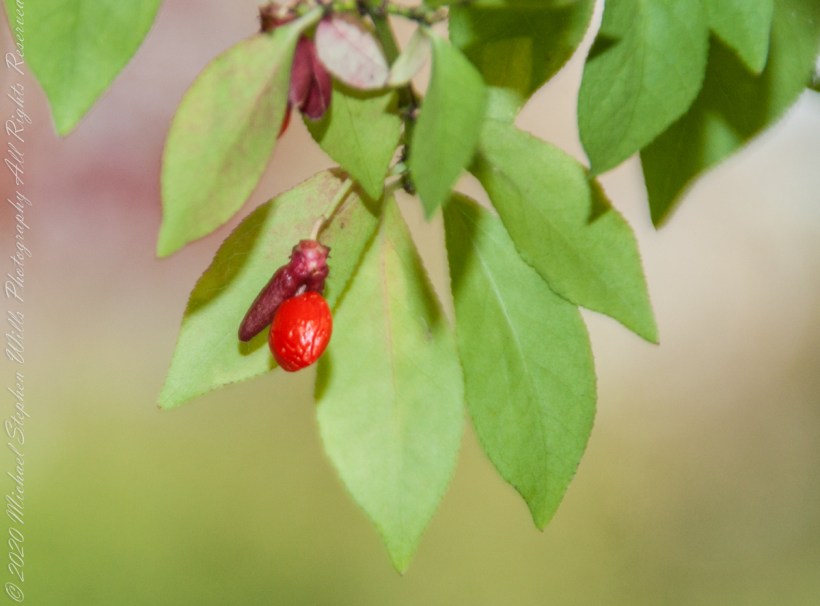
Springtime it is covered with tiny green flowers, each turns to a small, fleshy fruit encapsulating tiny seeds said to be loved by birds. As ours neglect the fruits, I’ve taken to collecting them to spread along the borders of our back property. Here and there some have sprouted around the bush, this year I marked a few to move this winter when the plant is dormant. I have high hopes for success of this project as the species is known as “invasive” in 21 states.
Click pic for larger view in a new browser tab. If you are in WordPress Reader, open the post to use this feature.
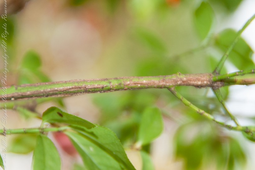
All parts of the plant are toxic, causing severe discomfort when eaten. The name “Spindle plant” was given it in England for the corky wings that grow long the length of stems, not so pronounced with our Euonymus species.
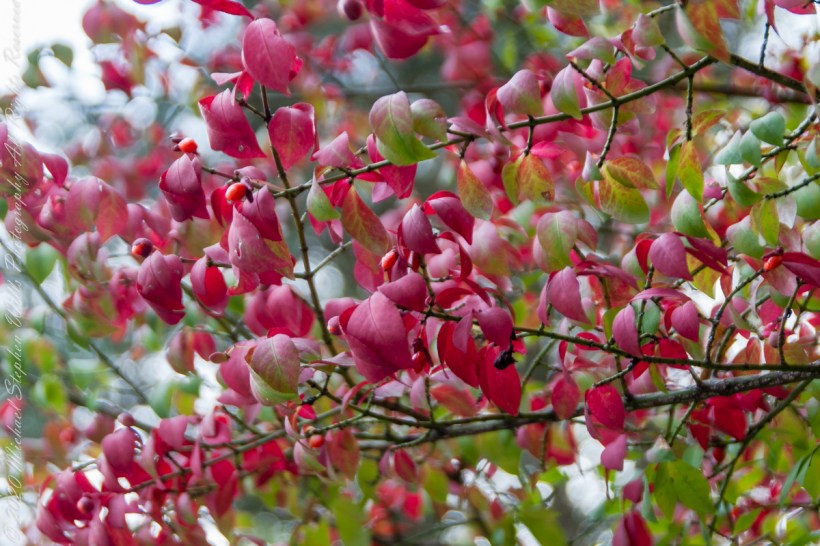
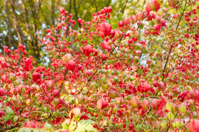
Here are macros of the flaming leaves and fleshy berry.
On the ground in Sabino Canyon, I rethought my plans for the afternoon, given the potential of an incredible desert sunset, and decided to seek the high ground east of Tucson up against the Rincon Mountains in the Saguaro National Monument. There was still plenty of time to travel there and set up.
On arrival at the monument I took the scenic “loop” road that meandered around the desert. The Lime Kiln Falls trail makes some elevation, so I hiked that to the end. In the 1800’s the rocks in the area were exploited for their mineral content by heating them, on site, to high temperatures that released a highly caustic (chemically reactive) “quick lime” that was in high demand. All that’s left of this work is some ground discoloration.
The Dry Water Fall and former Mining Site
The “Falls” in question were a totally dry rock ledge that I climbed for these views. In the first photo, on the right in the distance, you can see the same mountain peaks I shared in Part One. I used the same 200 mm telephoto lens because that interesting stand of saguaros were over 100 feet away across a steep slope.
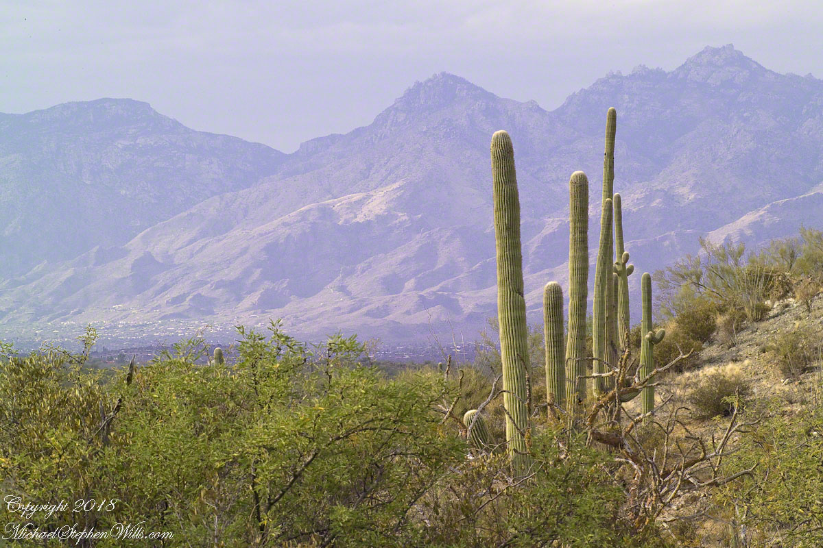
Young Saguaros
The saguaros are interesting, to me, because they are all so young and grouped together. As though s clutch of seeds from the same specimen landed together on the same spot. The saguaros are notable for their lack of arms which will form with the passing years.
A View of the Catalinas
Late afternoon is the perfect time to photograph the Catalinas in the distance and the high, thin gathering cloud cover made for dramatic shading of the peaks. I needed to wait for a perfect moment because the light and view changed, literally, second by second. If you look closely, the city of Tucson can be seen among the foothills, to the left.
Why the Distance Stands Out (high contrast)
The lens was fitted with a deep hood. Besides being black, the interior of the hood is surfaced with black felt, the same as used for large telescopes, to capture any stray light. Light falling across the lens surface causes reflections, which is what this hood prevents. The result is the amount of contrast I captured, using the appropriate exposure and other settings. For this photograph I used F14, 1/125 and ISO160.
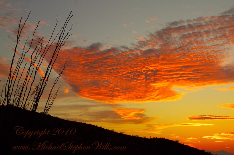
Click any photograph to view Ocotillo Sunset
Another Catalina View
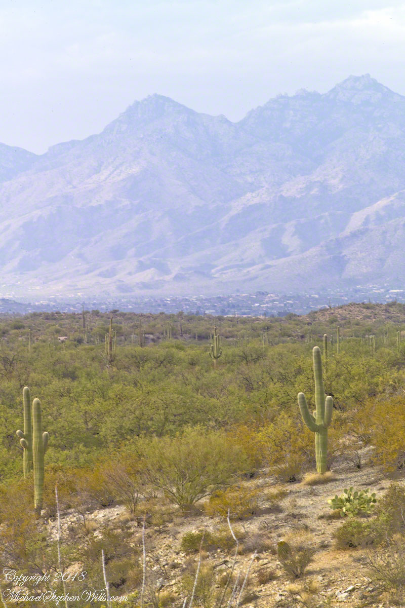
A bit further down the same trail, the desert view features an army of saguaros marching into Tucson.
Click any photograph to view Ocotillo Sunset
The Catalina Highway runs along the escarpment, in the distance, and to the top of Mount Lemmon, a 9157 foot peak. In season, you can ski in the morning, on the peak, and in an hour or so travel to the desert to sunbathe comfortably. From the trail to the top of the Rincon Mountains this view just keeps opening up farther and farther and farther. My wife, Pam, and I backpacked up there April 2011.
On a Tucson November 2005 afternoon, after my volunteer work for the University of Arizona, CALS college, alumni board of directors, in the mid-afternoon I headed for Sabino Canyon with my photography kit.
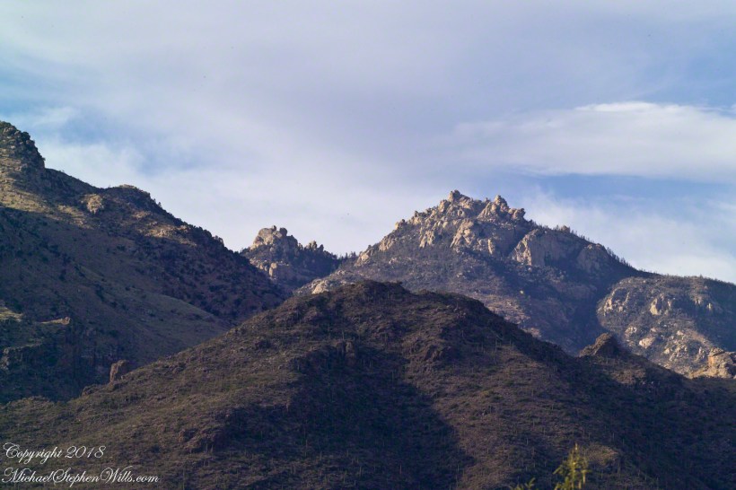
With a 25-pound pack on my back, walking from the parking lot I looked up at the incredible rock formations of the Santa Catalina mountains. It took some time to set up the tripod (at that time I was using a cheap swivel head on adjustable aluminum legs) with a 200mm telephoto lens (Canon L-series EF 200mm USM) I grabbed this shot of the hoodoo fringed peaks beyond the foothills (f16, 1/30, ISO160). The lower sun angle made the formations pop out.
Hoodoos in the Hills
You call those strange formations of upright rocks “hoodoos. Some people believe the fantastic shapes were created by spirits, today the explanation is wind, water and time create hoodoos from rock of the right stuff. It is a wonderful experience to wander among hoodoos, though unsettling because some of these large rocks are seemingly in danger of falling over at any moment.
Moving On
I have a mental list of photographic “to do’s” and the gathering clouds, typical for a Tucson November day, reminded me an awesome desert sunset was on this list, so I packed up to head for the east side of Tucson for a shot looking toward the Tucson Mountains (on the west side).
Clouds gather at sunset above a ridge serrated by saguaros.
Click any photograph to view Ocotillo Sunset
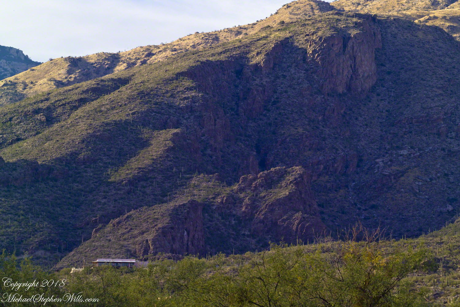
Sabino Canyon House
Before we move on, this is a fascinating image of a typical southern Arizona house perched on a ridge at the mouth of Sabino Canyon. In this image the viewer sympathizes because the telephoto lens gathers the majestic rocks around the tiny structure.
The house is perched on a Santa Catalina foothill ridge running east west, a wall of picture windows facing south with a view across the Tucson valley toward Mount Wrightson of the Santa Rita mountains, 42 miles distant. Summer thunderstorms gather on this peak, wreathing it with lightening. These times, evenings and night, the view pays for the inconvenience of this distant, hot ridge. Another time to be there is for sunsets.
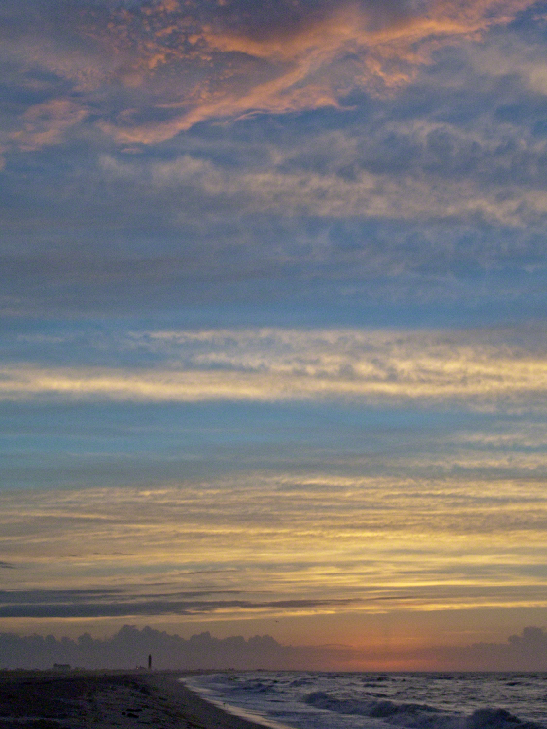
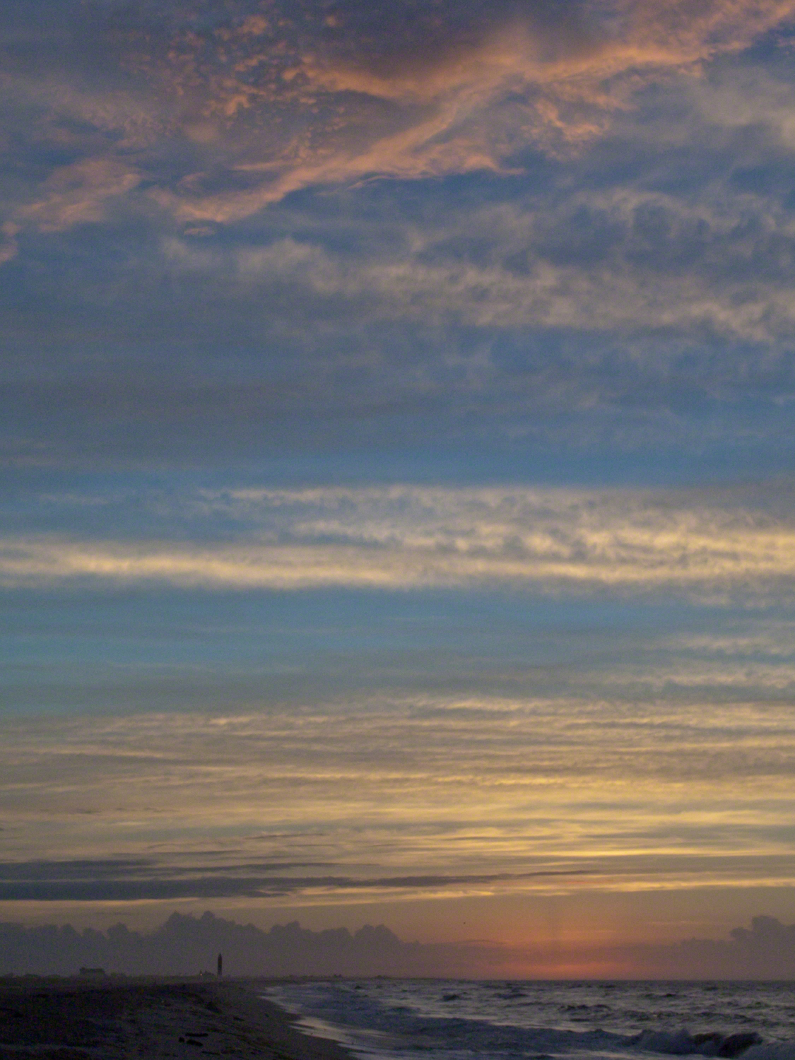
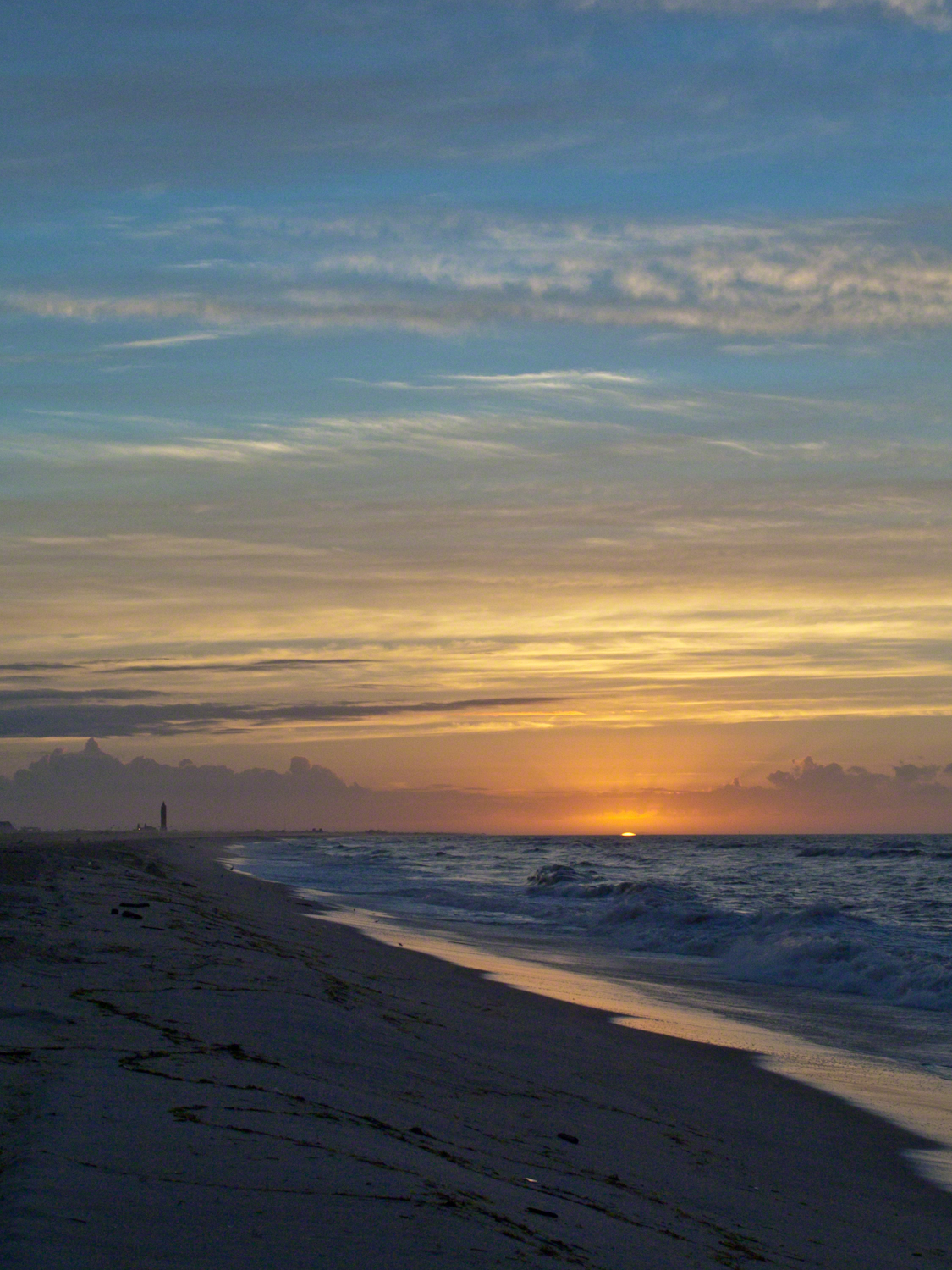
Hurricane Katrina approached the Gulf Coast and New Orleans as the sun rose on the West End of Jones Beach on Long Island, August 28, 2005. This amazing sunrise was an element of the unusual atmospheric effects that are evidence of the power of this storm.
The featured image (heading this blog) is my print, “Katrina Sunrise”. This work is enjoyed by hundreds of my clients. Use the link, below, to acquire your own. Custom framing is available.
The following images are the rough drafts taken in the early morning hours. The beach was literally deserted as I mounted the camera and framed the view for this series. Many image captions include the file time stamp, for example 6:07:13 is 6 am and 7 minutes 13 seconds.
6:07:13 First image of the set. Below the horizon the sun lights the upper atmosphere.6:07:34 As the sun approaches the horizon the lower clouds catch light. My Camera was a Sony DSC-F828 tripod mounted with a polarizing filter.6:07:56 I panned slightly to the east. ISO was set to 64 throughout.6:08:16 Gradual brightening. The lens is 7.1 – 51.0 mm f/2.0-2.8.6:08:38 All levels are brighter. It seems those low clouds will block the horizon. That was not the case. The variable focal length is 15.6 mm.6:09:05 It is happening!!!! Exposure was set to automatic on a f stop of 8.0. It was 1/3 second for this image.6:14:34 The view is panned west. That is the Robert Moses water tower of Jones Beach State Park looking like a rocket ready to blast off.6:15:15 Will those low clouds block the sun? Looks promising.6:16:11 Clouds on the upper margin catching the sun. Horizon brightening….. Exposure 1/20 second.6:14:39 This will be a disappointment if that sun does not show. Exposure 1/25 second.6:18:27 Almost there….1/15 second exposure….6:19:07 Quick framing adjustment to bring the lighting of shore margin into the composition. The final version was created from two images captured seconds after this.As the sun rose a rainbow formed in the western sky.
Yesterday, I simultaneously published nine photographs on my ImageKind Ireland Gallery and Getty IStock (click the links to visit): nine views taken from the slopes of Slieve Gullion.
Sunday, May 25, 2014 was a happy day for Pam and I. It was the first full day of an eighteen (18) we filled with Ireland, travelling in a loop of the island following the coast from, naming the counties where we spent time on the ground, Louth, Armagh, Dublin, Meath, Wicklow, Cork, Kerry, Claire, Mayo, Antrim, Down and back to Louth. The counties of Northern Ireland are in italics. Indeed, at this time the politics allowed us to travel freely between the Republic and the North. That day, our morning was spent in Louth attending mass, enjoying our first meeting with the family over a substantial mid-day meal (click the link for my Facebook album of the meeting). We split off that afternoon to visit the home of my cousin, Mary and her husband Joseph in County Armagh, just over the border. When Joseph offered to drive us over to Slieve Gullion it was totally new to us, we had no conception of the place or what to expect.
It was such a gift, we are grateful to Joseph for this experience. Only in 2018 when, at 64 years of age and retired”, was I able to research the place and spend time developing the photographs for publication. Two of the photographs illustrate this posting, to view the others in my online gallery, click either photograph.
Slieve is the Irish language word for “mountain.” Slieve Gullion is a lone eminence, one remnant of volcanic eruptions about 60 million years ago during the rifting of continents that produced the Atlantic Ocean. Around the mountain is the Ring of Gullion, a string of hills, 26 miles by 11 miles, surrounding the mountain and formed from the ancient collapse of a volcanic caldera. The technical name for it is a Ring Dyke and it was the first of its kind to be recognized and mapped, well before the nature of the formation was understood of be volcanic. The name Gullion is derived, in one formulation, from the name of the metalsmith, Culann. In Irish Myth, Culann’s home and workshop was on the slope of Slieve Gullion. A wealthy and respected personage, Culann invited Conchobhar mac_Neasa, king of Ulster to feast. During his approach to the mountain, passing through the surrounding plain, the king stopped to watch boys play hurling. Among them was the future hero of Ulster, the young Sétanta. Impressed with Sétanta athletic abilities, the king invited him to join in the feasting at Culann and the boy promised to follow after the game. Later, while climbing the mountain to fulfill his promise Sétanta was attacked by the guard dog of Culann. The myth says the dog was killed by Sétanta in self-defense. Never the less, in compensation to Culann, Sétanta committed to rearing a replacement and to act as guard dog in the meantime. In this way he became known as Cu Culann, “the dog of Culann.” Click for more about Cu Culann.
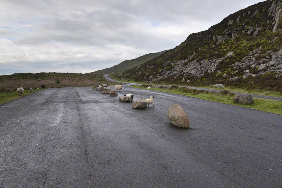
On the summit two cairns north and south of a small lake, tangible proofs of ancient peoples and beliefs. The north cairn is a more ancient passage grave, 90 feet wide, 16 feet high, the opening aligned with the setting sun on the winter solstice. The cairn north of the lake is less ancient containing two cist burials. For our visit Joseph drove us along the 8 mile drive. The following is an image of a viewing platform and the road. Just beyond, on the right, where the ridge meets the road, is the trail to the 1,880 foot summit of Slieve Gullion. Our arrival disturbed sheep resting on the asphalt. I’d have loved to spent a day climbing the summit, but it was not to be this trip.
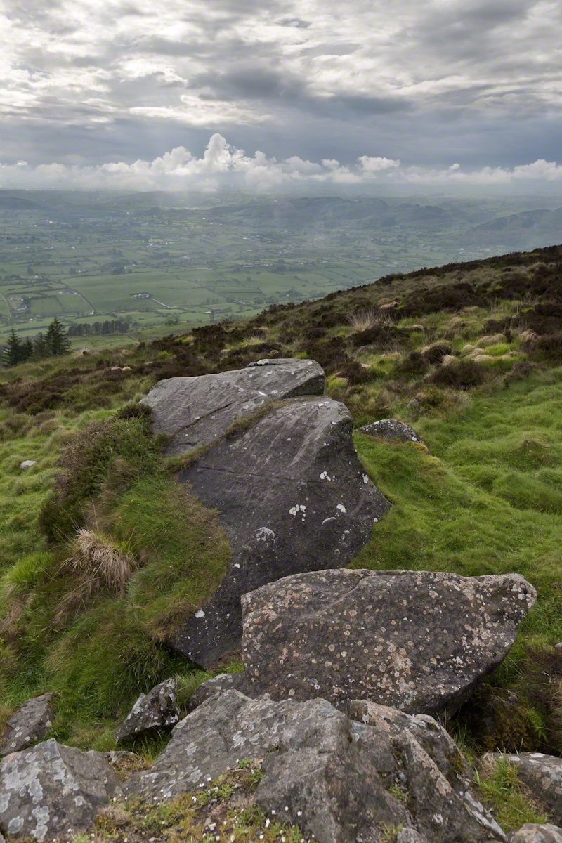
The way is part of the Slieve Gullion Forest Park. Throughout are turnoffs to admire the view. It was during our frequent stops I pulled out the photography gear to grab the views. Here is one, looking southwest. For the other views, click either photograph to visit my Online Gallery of Ireland.
Copyright 2021 Michael Stephen Wills All Rights Reserved
Rocks such as this are a favorite perch for leprechauns to rest and contemplate the works of man who have invaded their world. Inhabitants of Carlingford who wander Slieve Foye have come upon them often enough, their stories and certitude in the existence of the Little People are resistant to manifold doubters with their reasons and arguments.
Kevin Woods, aka McCoillte, was a doubter until worked on a stone wall on property he owned on Ghan Road, Carlingford. His belief did not arise on the discovery of the leather purse, covered with ages of dust and lime, nor with the gold coins inside. McCoillte pocketed the coins for luck. As luck would have it, McCoillte loved to walk on Slieve Foye. It was on one such walk he and his dog encountered Little People who paralyzed them to escape. His unexplained absence led to troubles with the wife.
This experience brought McCoillte around to enough of a belief that he, with lots of help, succeeded in petitioning the E.U. European Habitats directive to recognize leprechauns a protected species. According to a page on the Celtic Times web site, “The E.U. sent Madame Isobel Jeanne from Fecamp in Brittany France to Carlingford with the official letter declaring Carlingford Mountain (Note: otherwise known as Slieve Foye) protected, on the grounds that they could not prove or disprove their existence.” The page is titled “The Carlingford Leprechaun.” Google “Last Leprechauns” learn more about McCoillte’s stories.
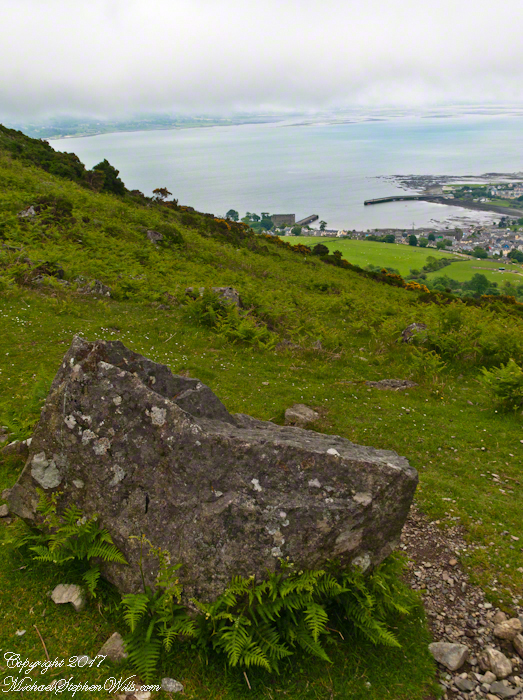
I came upon this rock on June 9, 2014 on a day my cousin Sean Mills invited us to walk the Tain Way over Slieve Foye. It was such a finely shaped piece of what I suppose to be granite, the view of Carlingford, the lough and farmland so compelling, I spent time composing this landscape.
You can make out “King John’s Castle” just over the ridge and its yellow flowering gorse, on the margin of the blue lough. It is the boxy, grey structure; crenellations are visible on high resolution versions of the image. Carlingford is known for the castle, the popular name is for the English monarch who spent time there, although it was built by another.
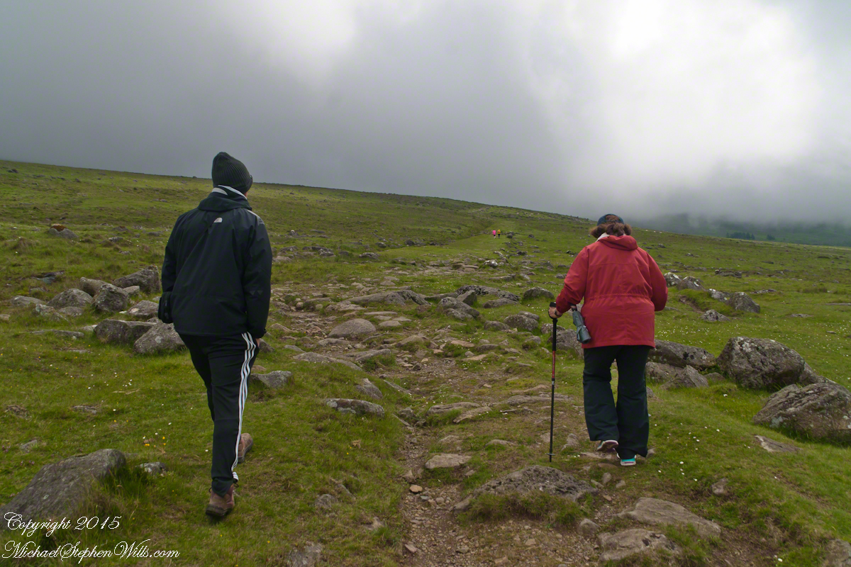
We did not climb so much as ascend, with effort, the flank of Slieve Foy, a peak of the Cooley Mountains, County Louth, Ireland. The group being cousin Sean, my wife, Pam, and myself.
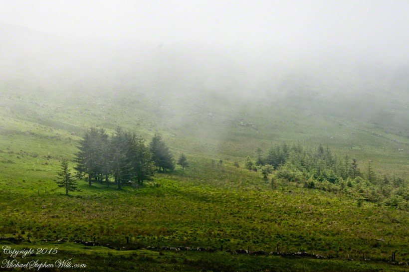
The ridge of Golyin Pass loomed in the mist where the path dissolved in low cloud. Sean pointed above, to the right to Barnavave, also know as Maeve’s Gap for the queen who came from the west of Ireland to take Donn Cúailnge, the Brown Bull of Cooley, by force of arms with an army behind her.
A modern rendering of Donn Cúailnge. See link at the bottom of this posting for more information.
When cousin Sean named Cú Chulainn, the champion of Maeve’s opponents, the Ulstermen, he recalled a story once lost, Táin Bó Cúailnge. A hospitable siege different from Maeve’s and mist are part of the story of the recovery of this tale.
A gathering of 150 poets, 100 pupils, and attendants strained the patience and wealth of Guaire Aidne mac Colmáin, King of Connacht, when it extended to a year and four months.
Our first and only encounter with fellow hikers. In the distance two figures appear over the next ridge, a mother and young daughter. She greeted us and challenged Sean to his knowledge of the area. Sean acquitted himself well and we continued.
On that 16th month, the king challenged the leader of his guests to the telling of a tale. Guaire demanded Seanchan Torpest, the chief poet of Connacht, to recite the whole of Táin Bó Cúailnge, known in English as the Cattle Raid of Cooley or The Táin (Cattle Raid).
Click a gallery pic for a larger view.
In this way the king was relieved of his guests: the book of the Táin was lost before their lifetimes, rumored to be abroad. Abashed at his failure, Seanchan Torpest withdrew. Fellow poets and followers trailed out from the castle.
Seanchan Torpest regrouped the host (an opened question is who then supported them) in conference to construct Táin Bó Cúailnge. It was a false hope as the gathering discovered while each poet knew a part of the whole, most of the story was lost. His honor, reputation and self-esteem in tatters the Chief Poet of Connacht, set off with Murgen, his son, and second cousin Eimena to return the Táin to Ireland.
Into mists such as those Pam, Sean and I ascended, the travelers soon were lost and separated.
Magically, Murgen finds the grave of the Uncle of Cú Chulainn in the mists, there to meet the shade of that enormous man, Fergus mac Róich is his name. In the Táin, as related in whole by Fergus to Murgen, Fergus was led by circumstances to ally with Maeve, to guide her army against the Ulstermen. As a deposed king, traitor to Ulster and Uncle to the champion Cú Chulainn, Fergus knew the tale entire.
View as we approached Goliyn Pass
It was from the mists that Murgen emerged, found his father and cousin, and returned together without the book, but with possession of the substance of the Táin.
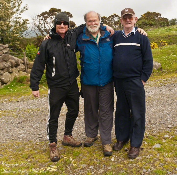
On Monday, June 9, 2014, cousin John Mills dropped his son, Sean Mills, myself and Pam Wills off at the foot of the western slopes of Slieve Foy on the Tain Way. Sean, Pam and I walked the way over the mountain and into Carlingford in the footsteps of epic Irish heroes.
Our guide, Sean Mills, proposed the walk and it fell on our last full day in Ireland. Sean’s father and our host for this visit, John Mills, transported the group including my wife Pam to the starting point at the foot of Slieve Foy.
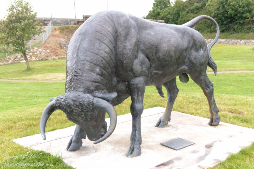
Yes, if there is any part of the Tain Way the the mythic Irish heroes trod it is this one over Slieve Foy mountain. The saga, in Irish “Táin Bó Cúailnge” and “The Cattle Raid of Cooley” in English, features this bull, “Donn Cuailnge” “The Brown Bull of Cooley”, here as a statue erected 2011 by the Grange and District Residents Association.
Donn Cuailnge raged over the very slopes we walked this day. The myths themselves fill a volume and I am unable to do them justice here.
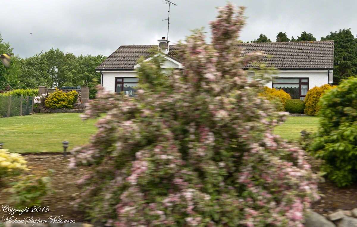
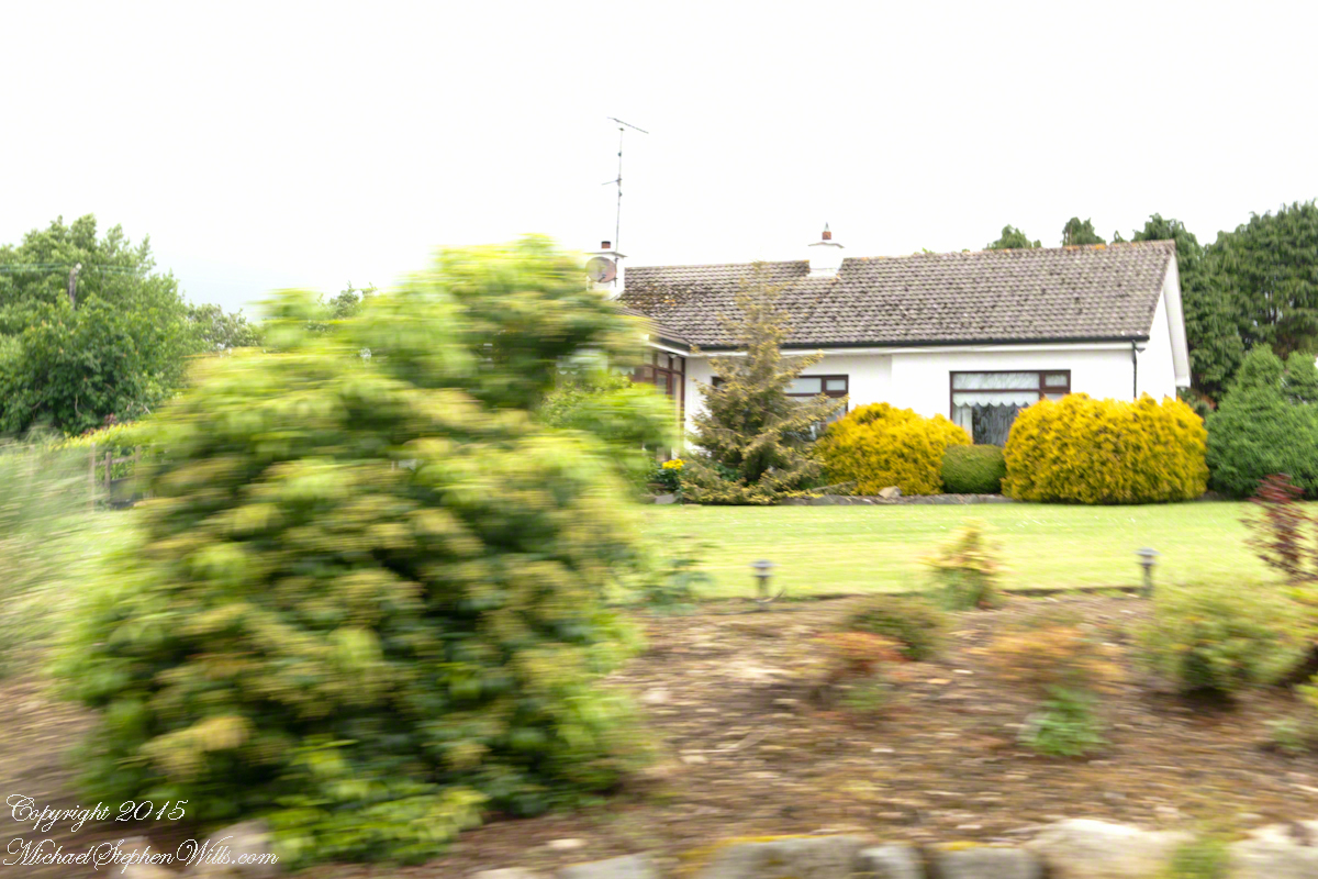
On the way, John stopped at the Old Aghameen School he attended in the late 1930’s early 1940’s 70 years before and we pass through the country soon to grace our views.
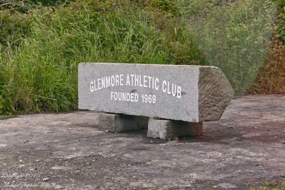
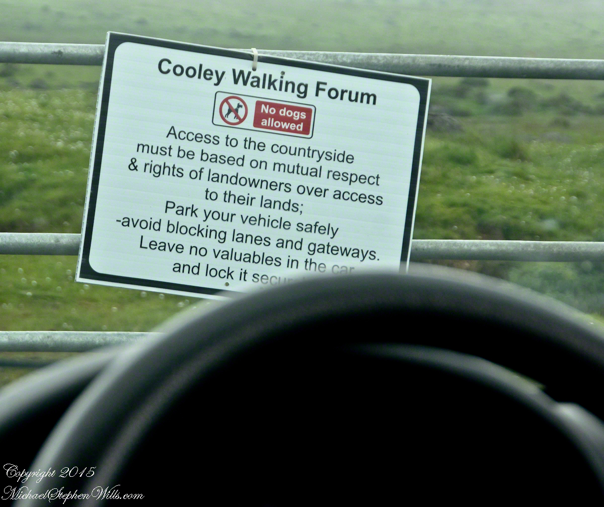
Many thanks to the Glenmore Athletic Club, the Cooley Walking Forum and land owners who provide access to the Tain Way.
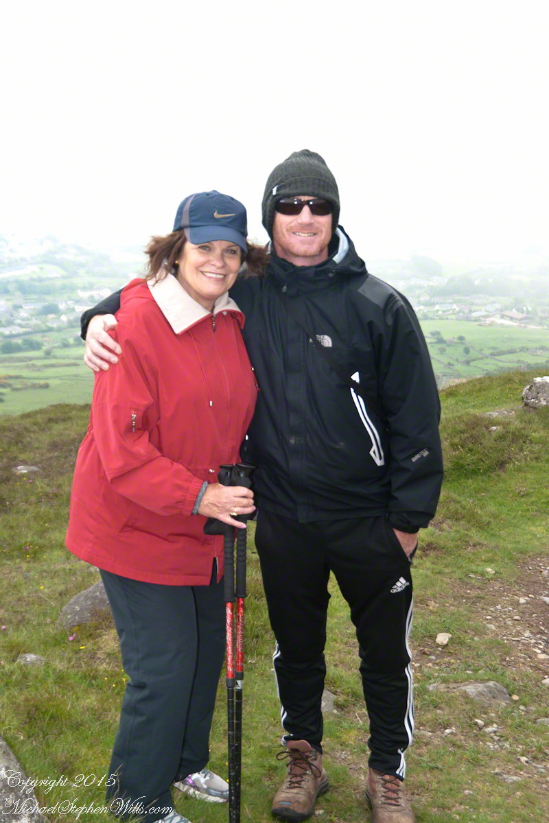
We had our leave taking with John, who planned to stay near the phone for our call from Carlingford, if all went according to plan. That same year Pam had the first of two total knee replacements. This was our longest hike in Ireland and Pam was not likely to miss it, regardless of any pain. Pam is always ready to smile.
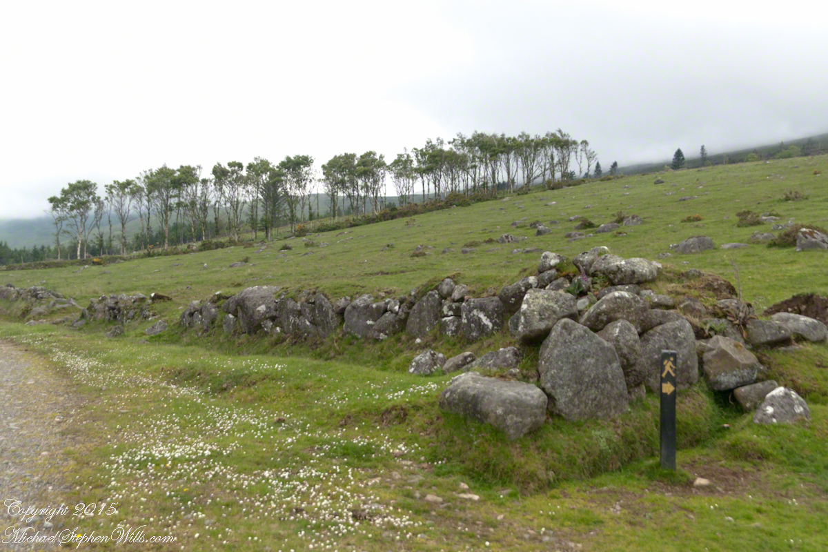
At start, the Tain Way is broad, green and welcoming.
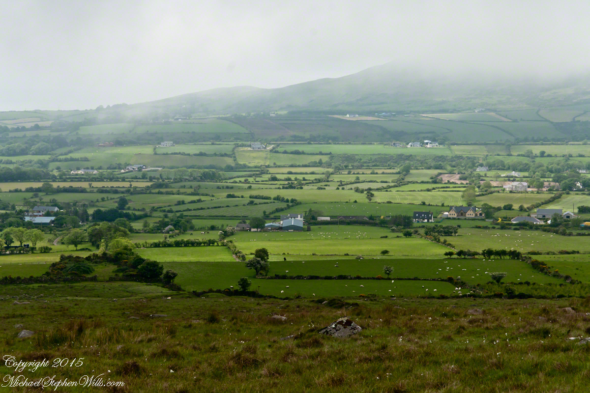
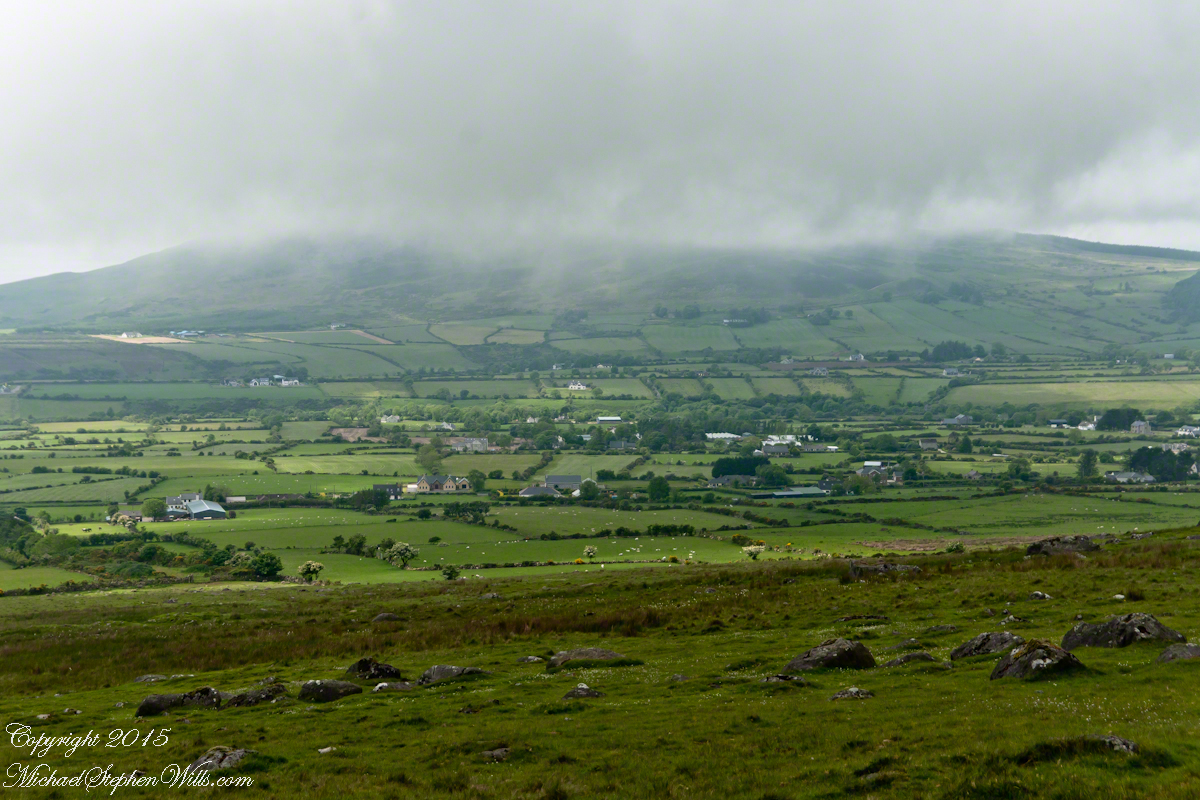
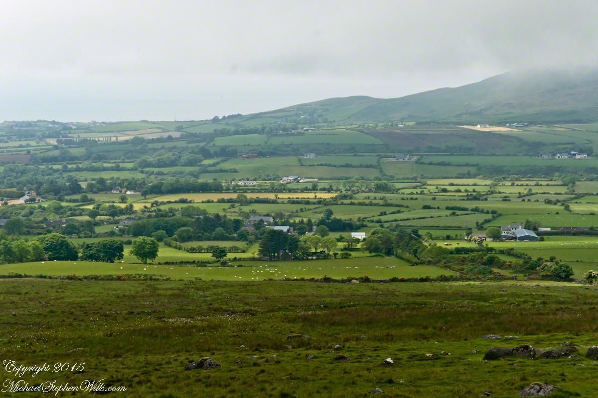
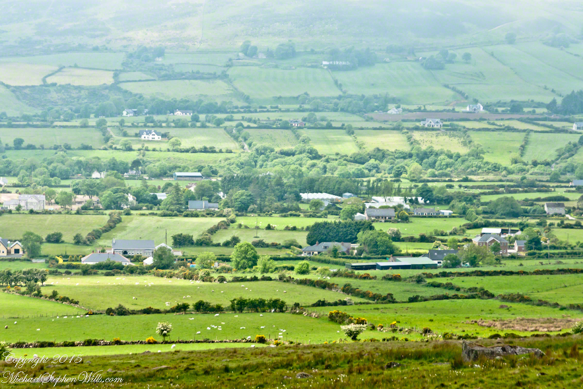
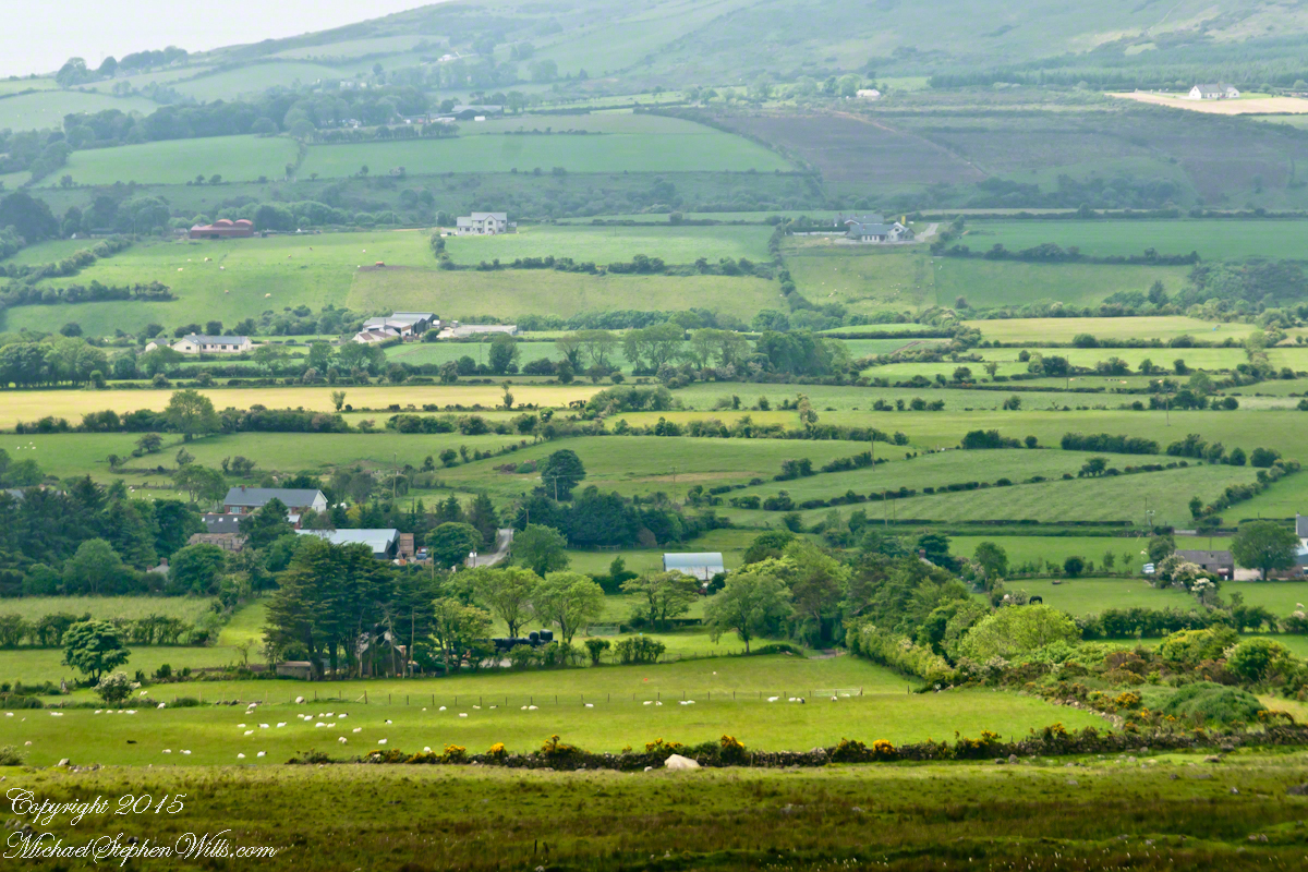
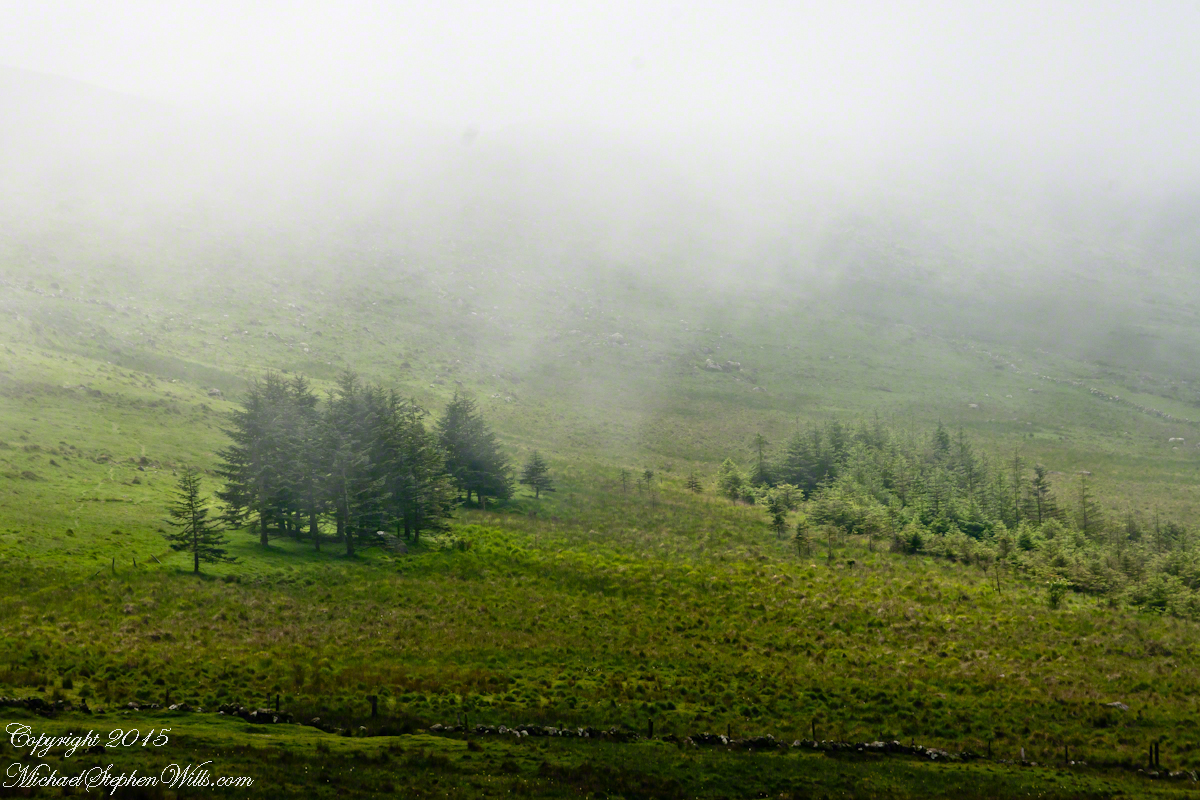
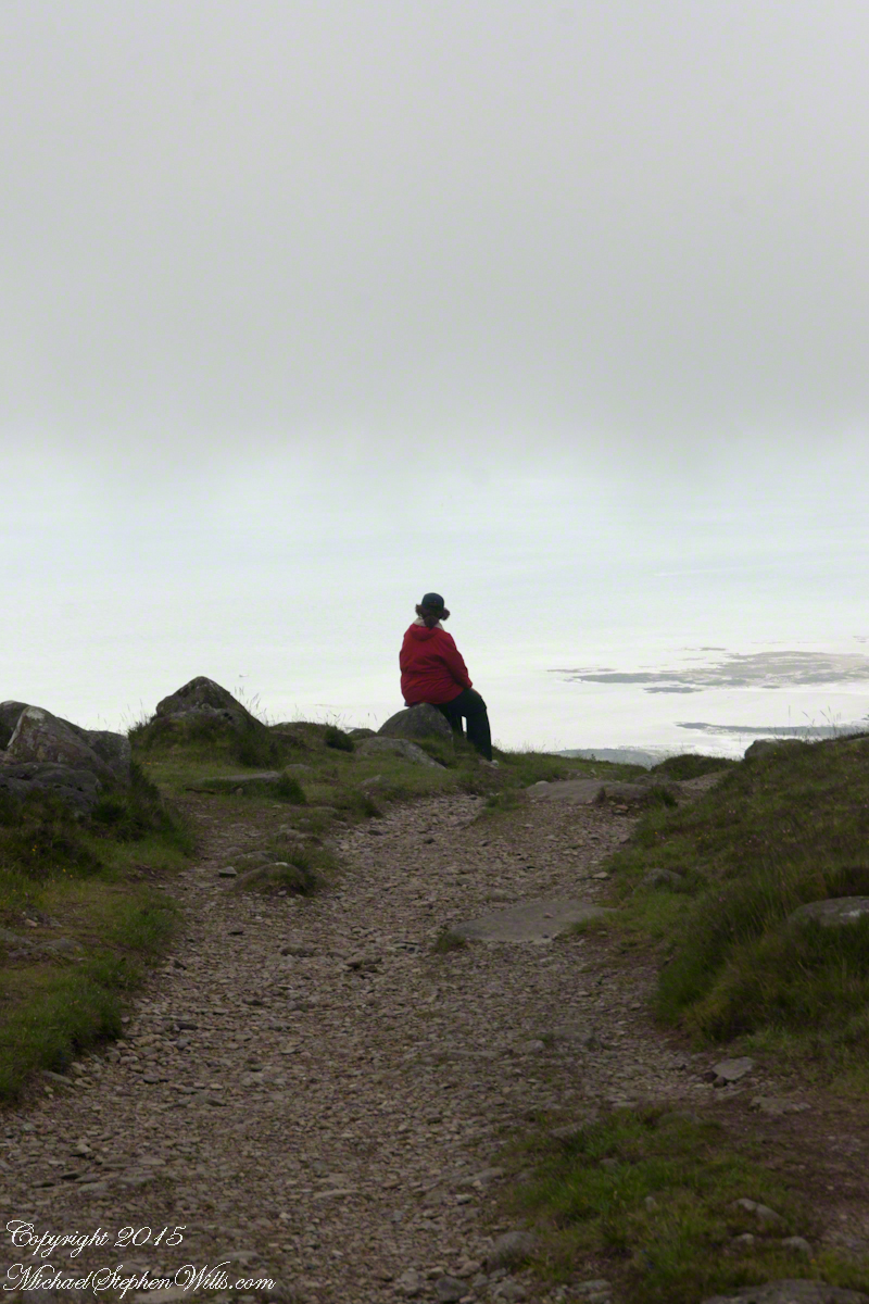
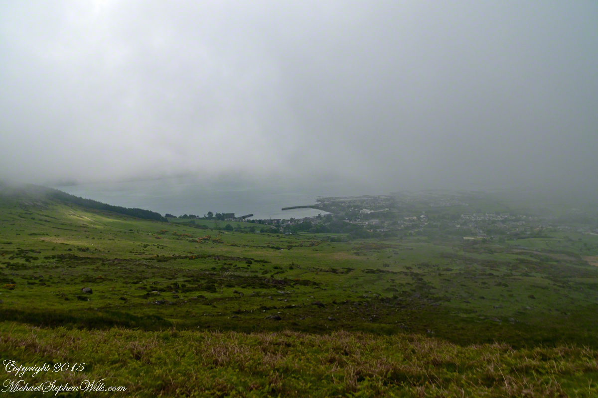
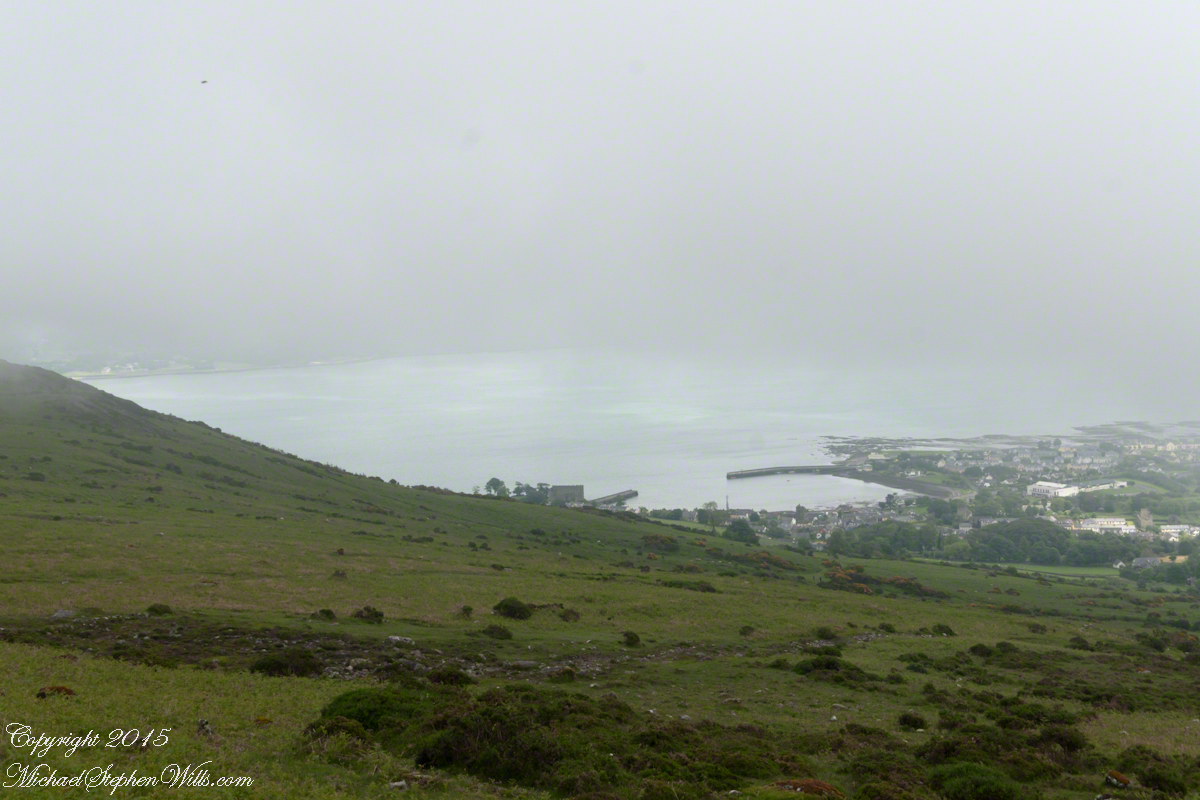
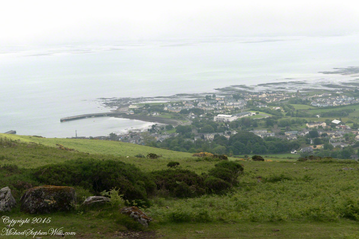
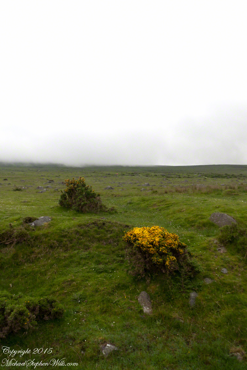
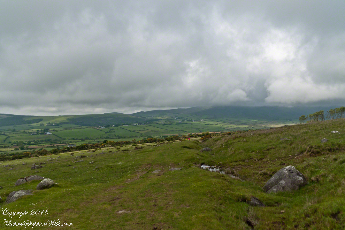
The western slopes of Slieve Foy hold views of a valley among the Cooley Mountains with Dundalk Bay of the Irish Sea to the south / southeast. It was not long before the view started to open and, then, opened and opened the entire walk to the top. We were graced with a lovely, cloudy, June day. Mist only, no rain. Plenty of wind, not strong.
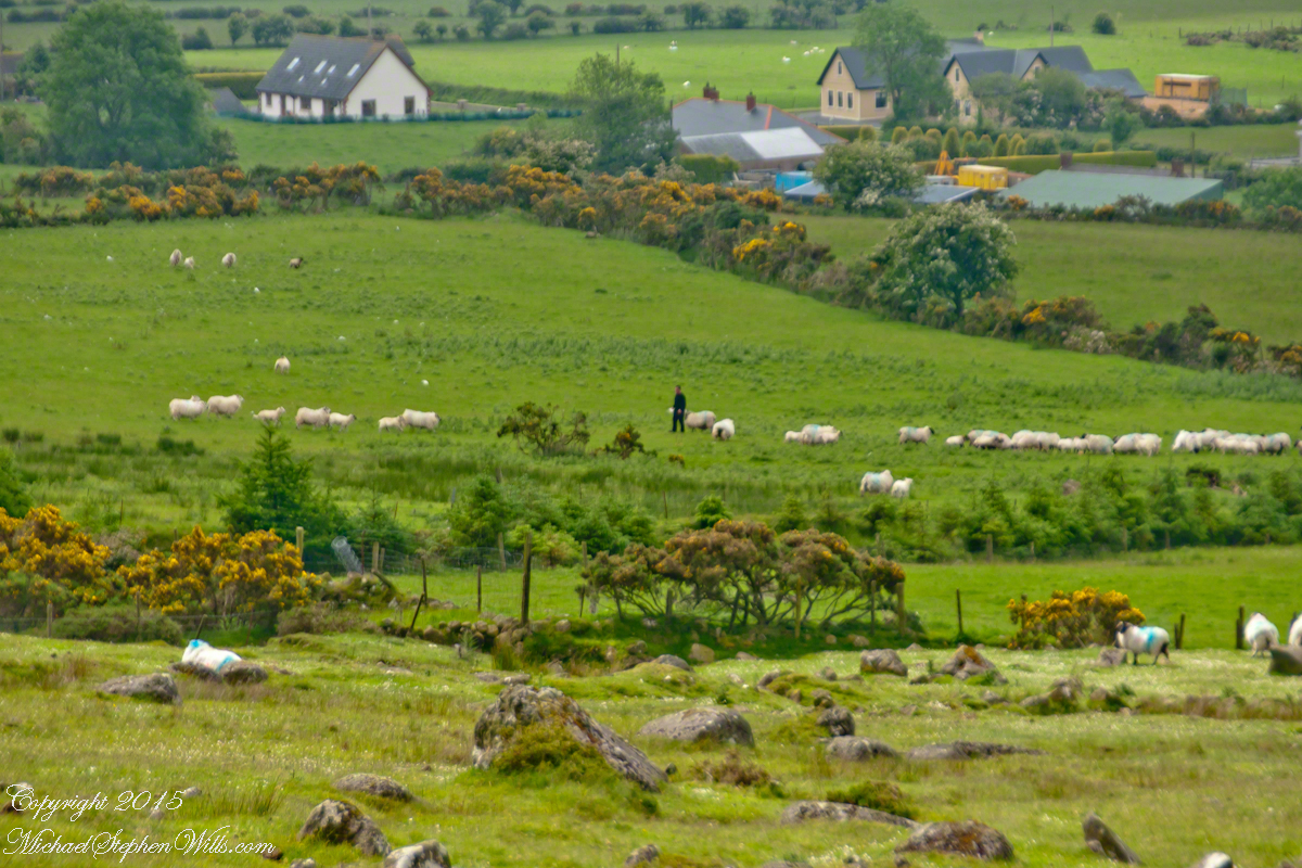
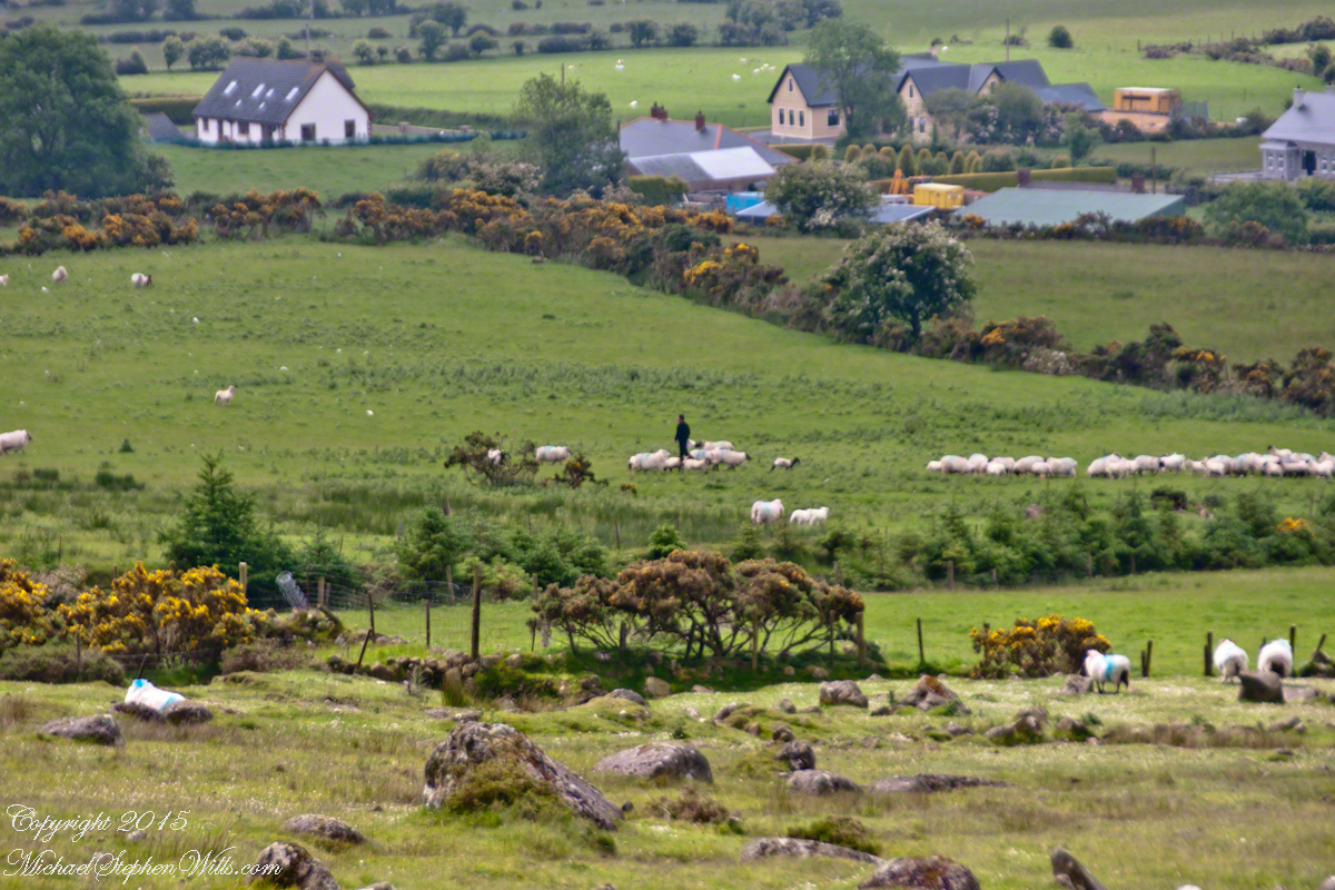
Farms are all about. Here a farmer attends to the flock. They know who he is.
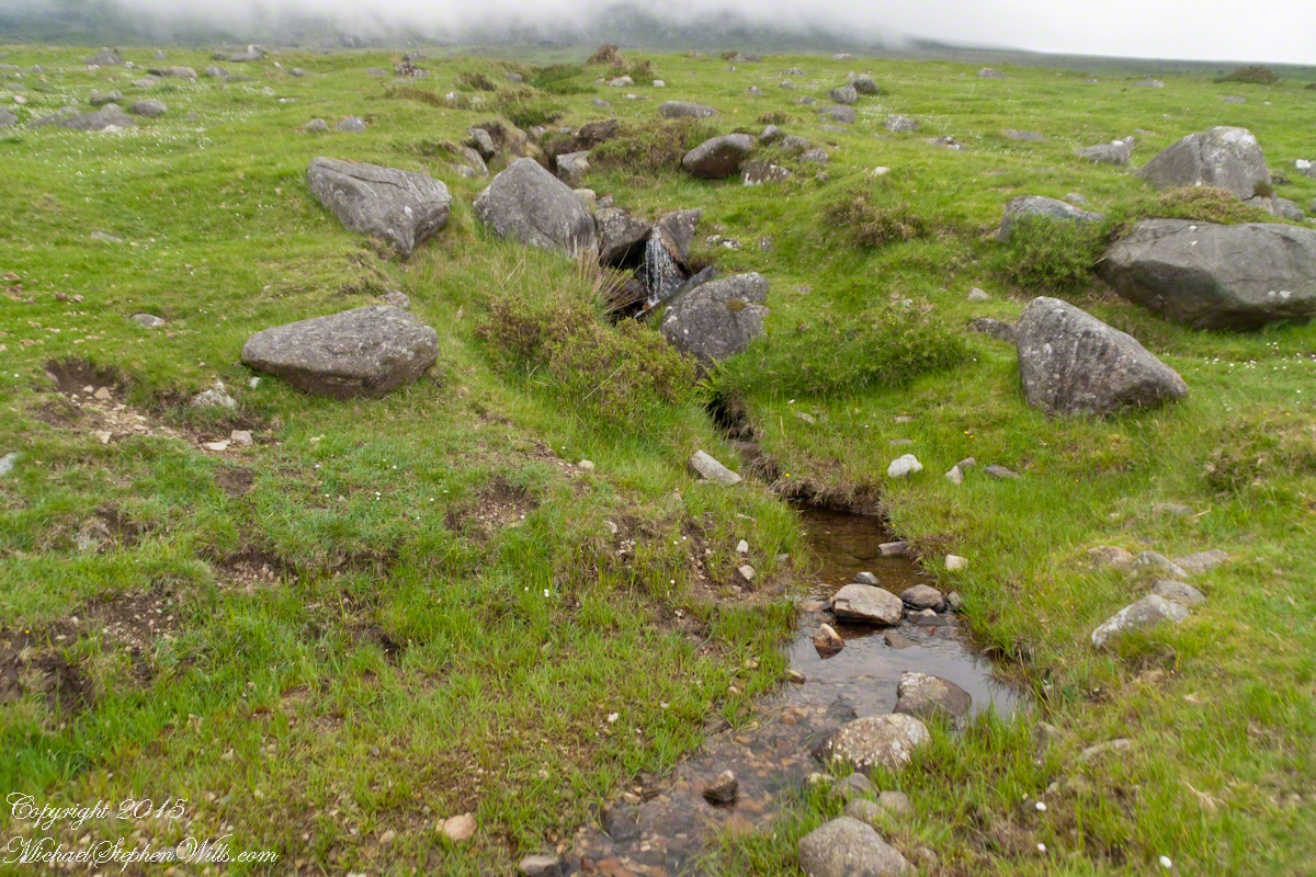
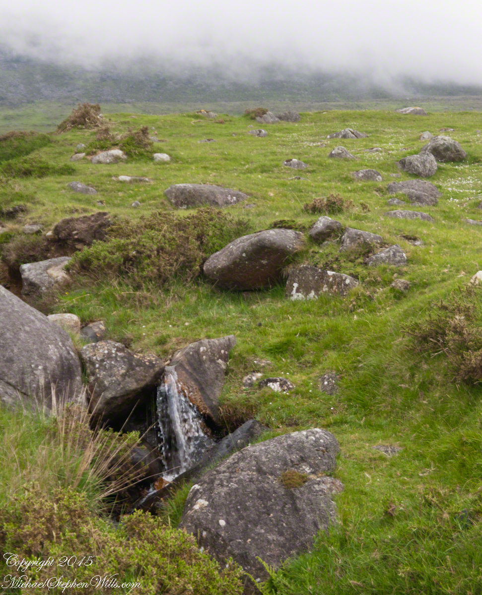
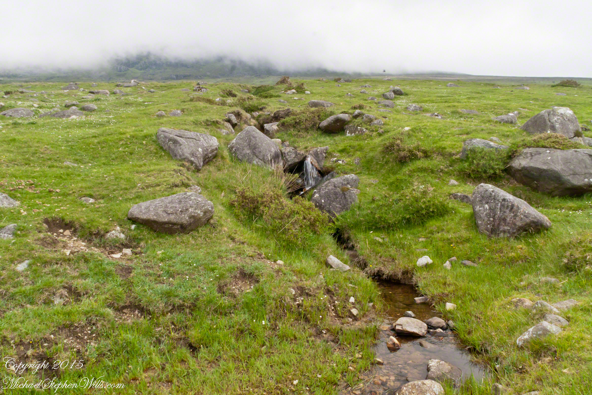
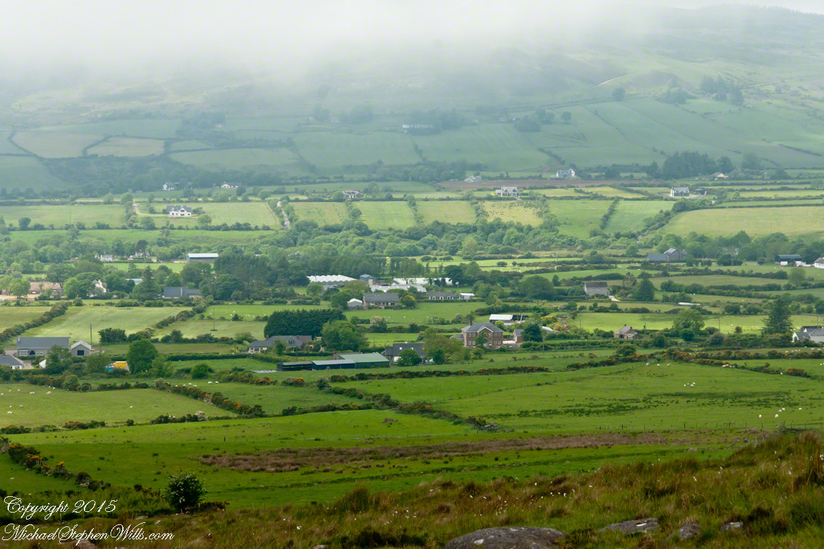
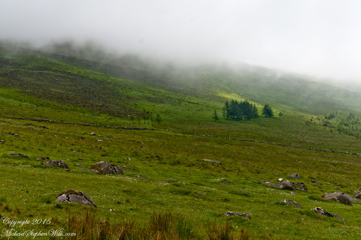
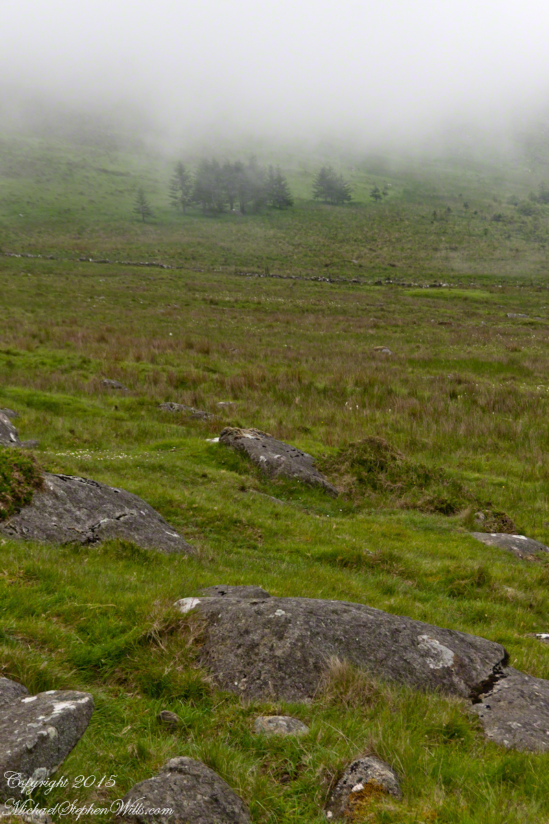
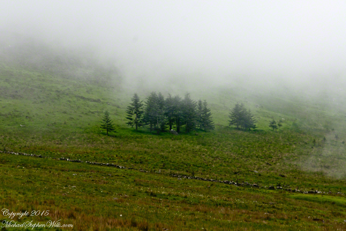
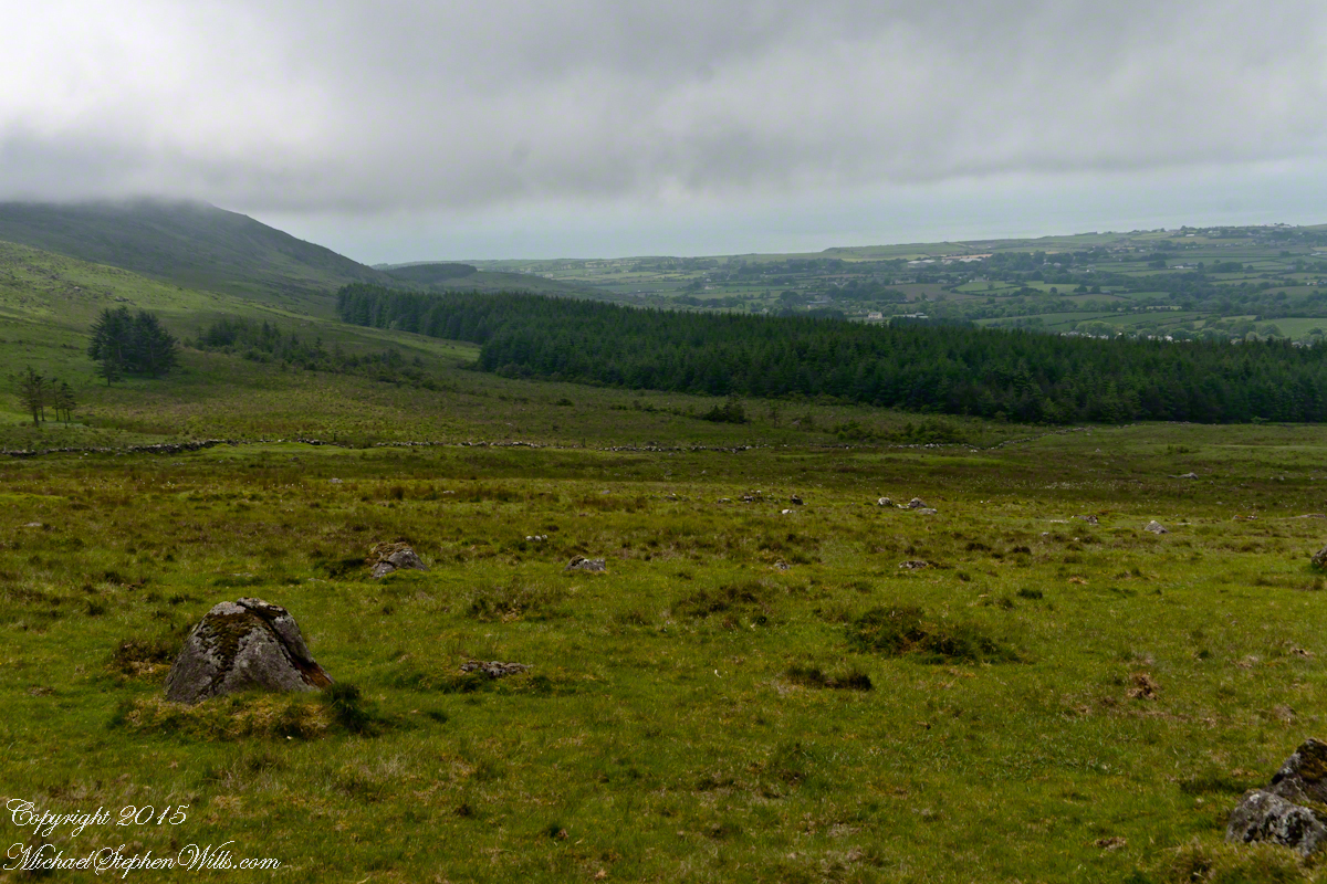
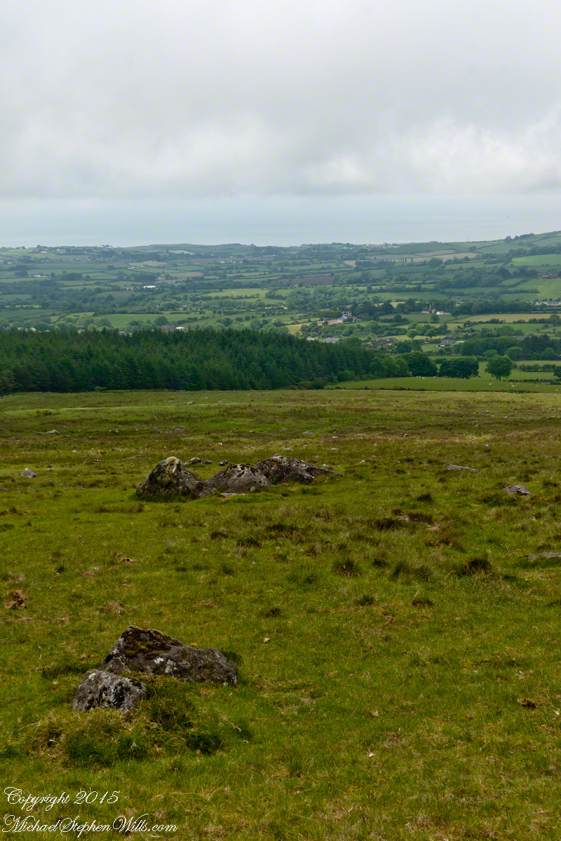
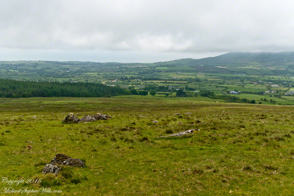
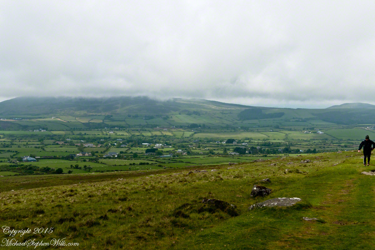
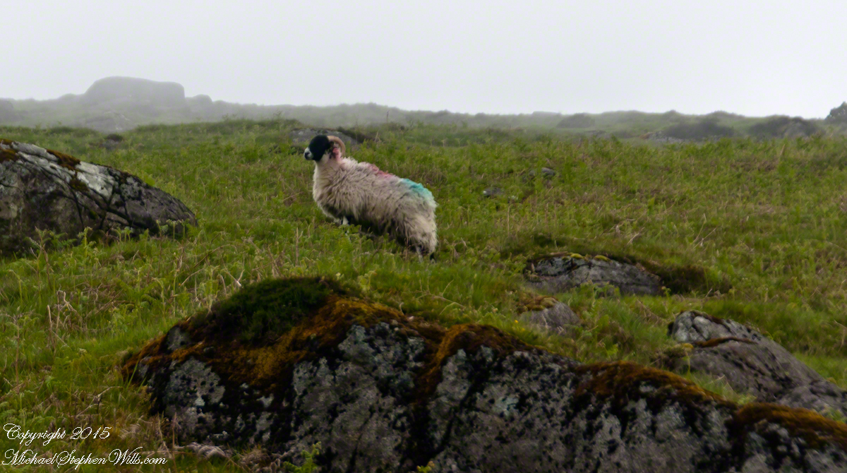
The lower slopes hold many small stream among granite stones.
I will continue with our walk on the Tain Way soon enough.
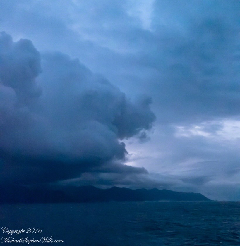
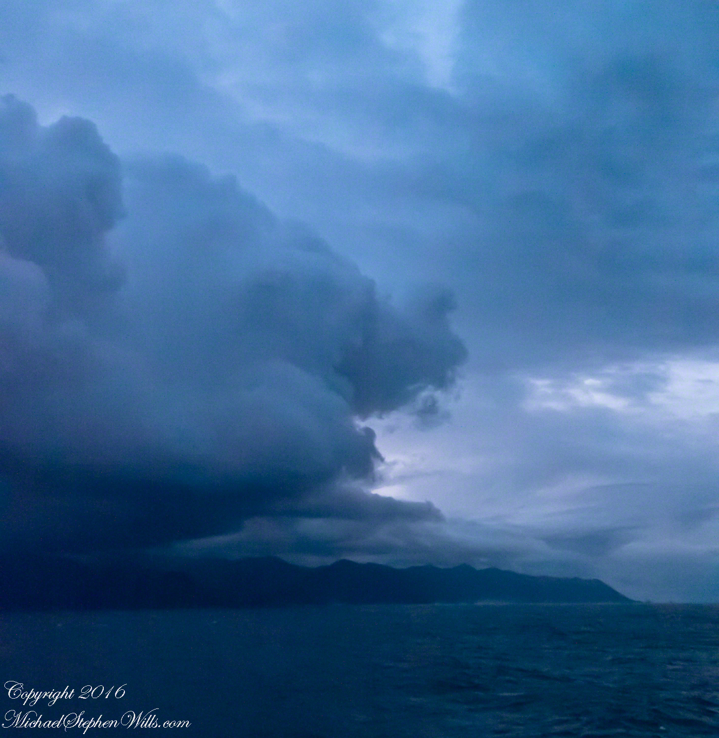
Rounding the Aysen Region headland of the Penas Gulf. Next land will be the Magellian Region extending to Cape Horn. In the Penas Gulf we will enter the Messier Channel and the fjords.
Taken with a tripod mounted Sony DSLR A 700 DT 18-200 variable lens set to 18 mm. 1/40 second at f4.5 ISO 6400. The sun was still low, after sunrise with gathering storm clouds from the terrace of our state room (a moving ship).
Our early morning traverse of the Penas Gulf was smooth sailing in route for Tarn Bar, entrance to the Messier Channel. We’ll pass Wager Isle where May 14, 1741 the H.M.S. Wager wrecked, stranding the crew. Speaking to the conditions on board, immediately some of the crew broke into the “Spirit Room, got drunk, armed themselves and began looting, dressing up in officers’ clothes and fighting,” many drowning the next day when the Wager flooded and sank.
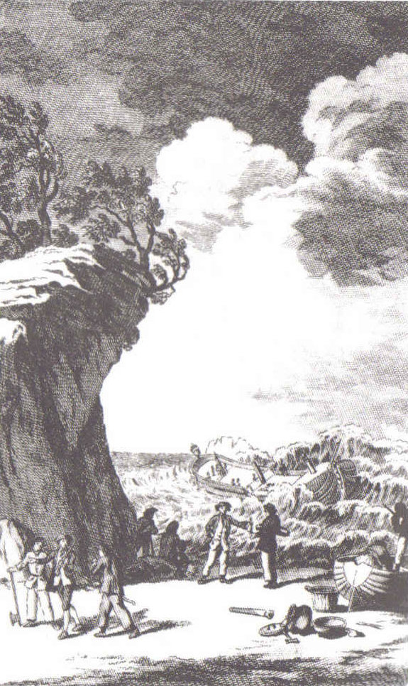
The original fronts piece to Byron’s Narrative; “Being an Account of the Shipwreck of The Wager and the Subsequent Adventures of Her Crew.”
The remaining 140 officers and crew manned the boat to make for shore in the Patagonian winter. Five years later, midshipman John Byron, grandfather to the poet Lord Byron, made it back to England with the Captain David Cheap. Just west of Wager Isle is the larger Byron Isle, named in his honor.
On this south heading our cabin on the port side faced east. In these early morning hours, I set up on the stateroom balcony, so for better or worse there is no views of either Wager or Byron Isle.













 The lower slopes hold many small stream among granite stones.