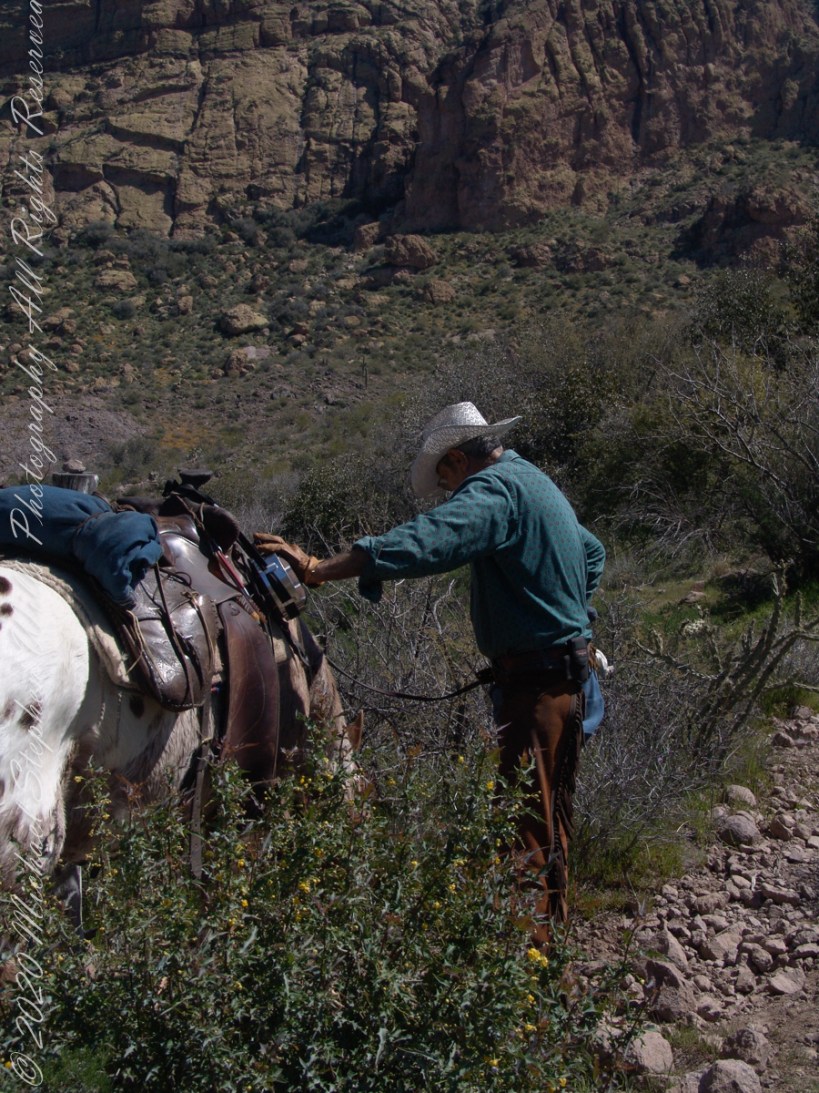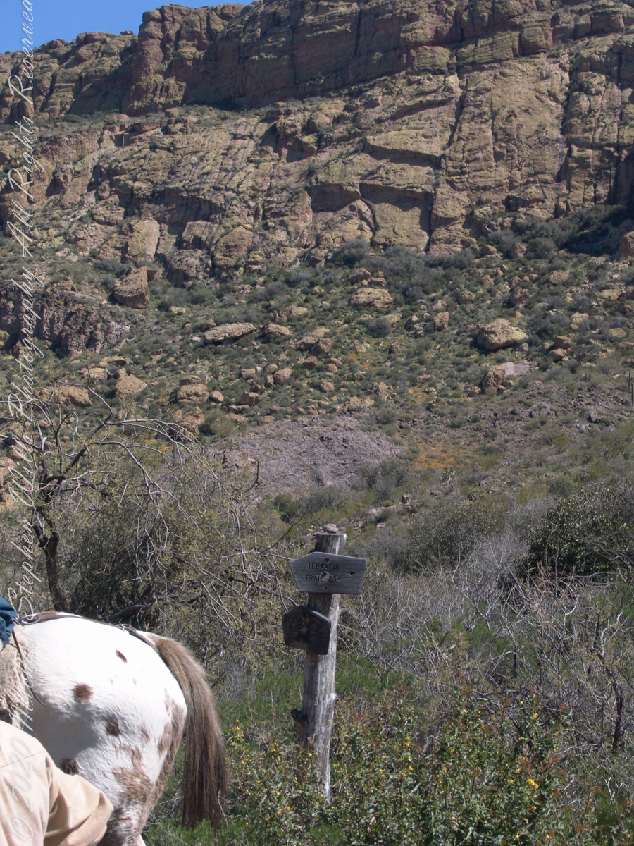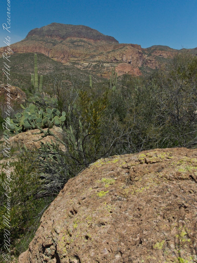
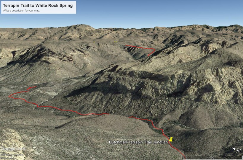
This view from Dutchman Trail was taken on the red line trail (below) between Black Top Mesa (out of view, on left) and Bluff Springs Mountain (right), on the approach to White Rock Spring and LaBarge canyon (the large canyon at the north end (left) of the red line.
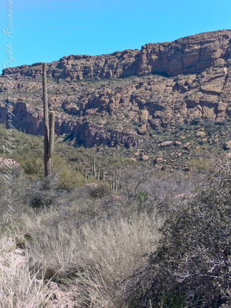
Looking Northwest, in the distance is Malapais Mountain behind Red Hills. Volcanic rock and Cholla cactus in foreground followed by Prickly Pear and Saguaro cactus. “Malapais” means “bad country,” an apt description for this terrain where the skull of Adolf Ruth was discovered near the Red Hills. Three fourth of a mile away, the rest of him was discovered on the slope of Black Top Mesa by a search party, January 8, 1932. Ruth walked this same trail, passing this very spot.

Click Me for the next Superstition Wilderness post, “Marked Saguaro.”
Copyright 2022 Michael Stephen Wills All Rights Reserved