A Story Risen from the Mist

The Resurrection of Táin Bó Cúailnge

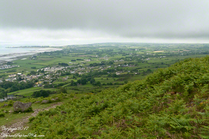
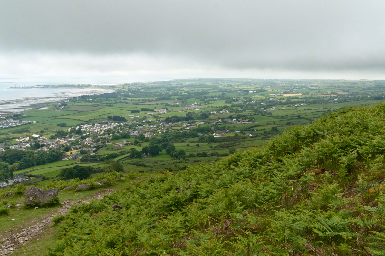
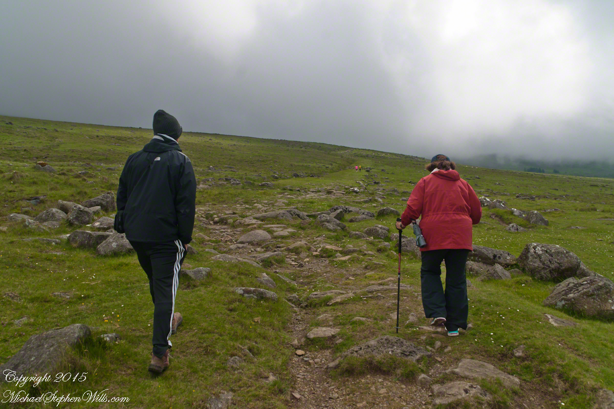
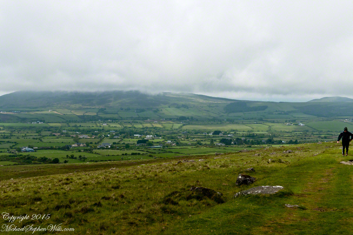
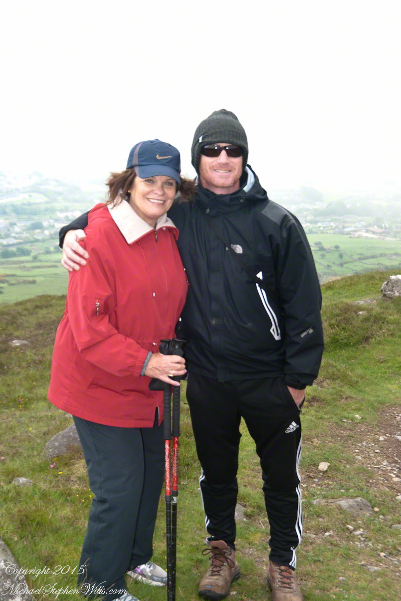
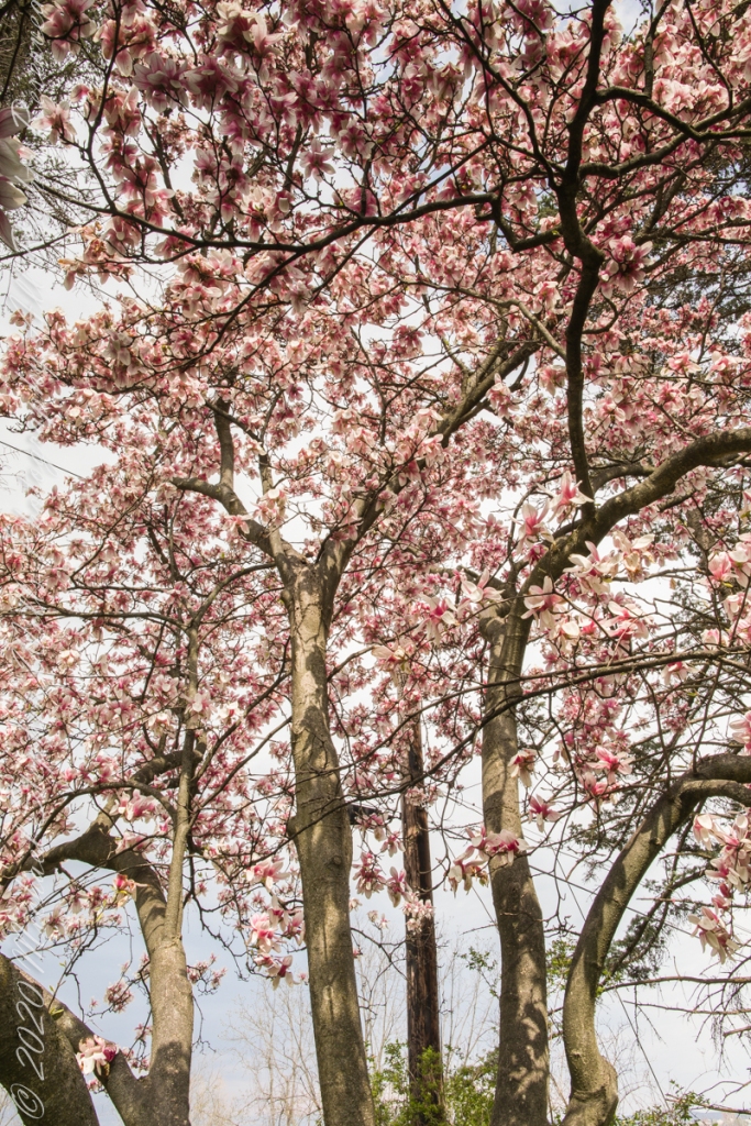
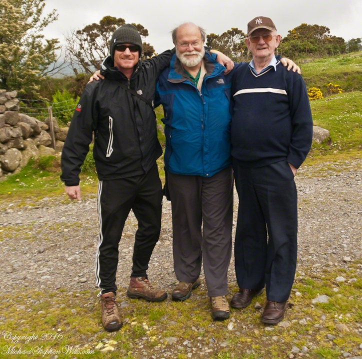
We did not climb so much as ascend, with effort, the flank of Slieve Foy, a peak of the Cooley Mountains, County Louth, Ireland. The group being cousin Sean, my wife, Pam, and myself.

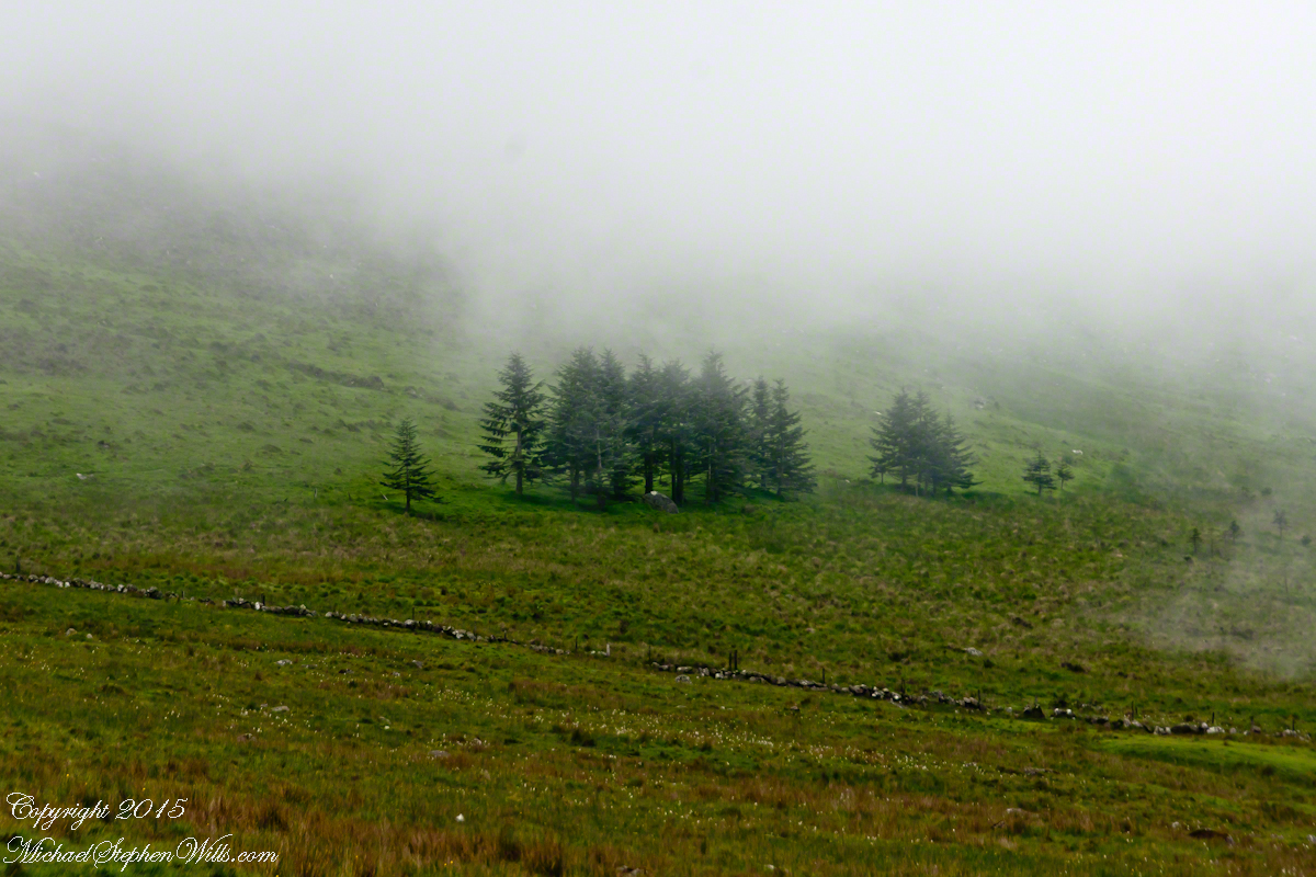
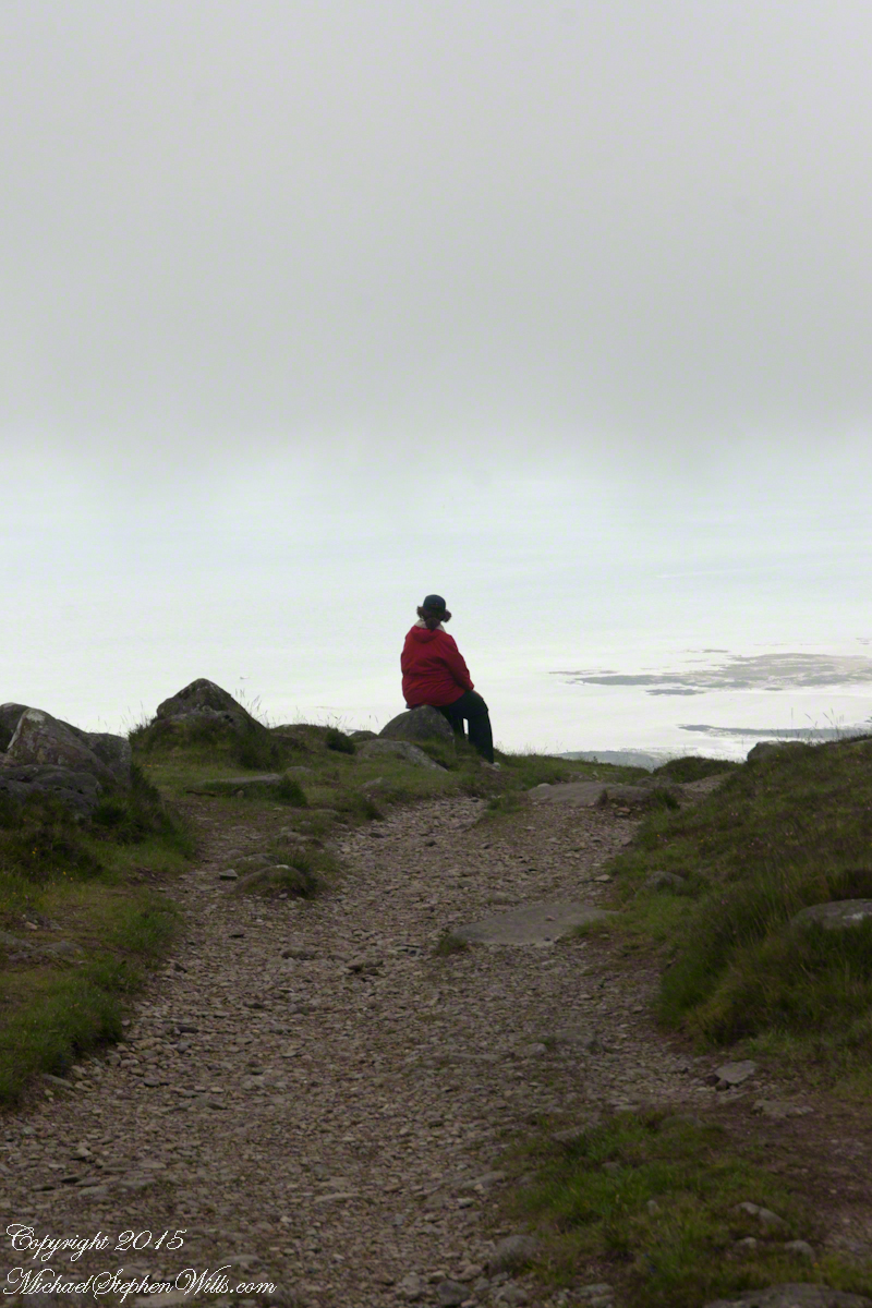
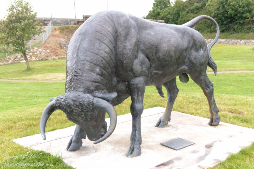
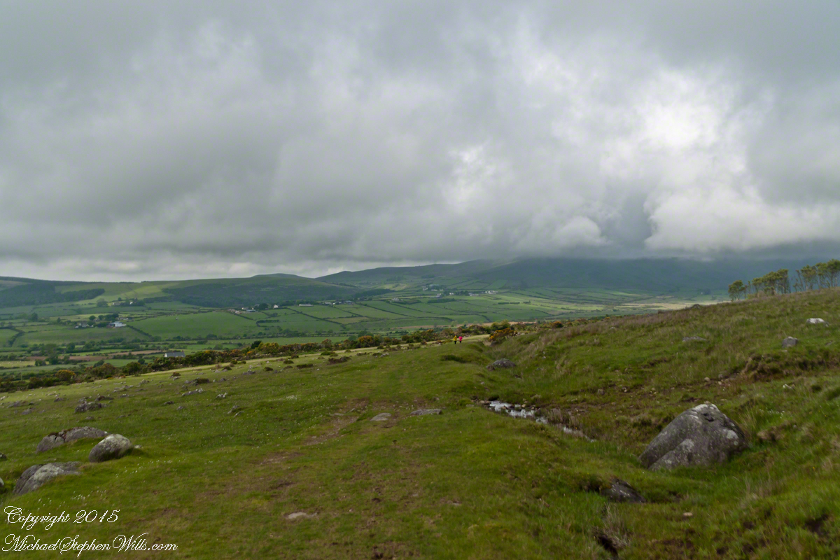
The ridge of Golyin Pass loomed in the mist where the path dissolved in low cloud. Sean pointed above, to the right to Barnavave, also know as Maeve’s Gap for the queen who came from the west of Ireland to take Donn Cúailnge, the Brown Bull of Cooley, by force of arms with an army behind her.

My Online Gallery– CLICK ME!!!!
A modern rendering of Donn Cúailnge. See link at the bottom of this posting for more information.
Click this link or a photograph to visit my Online Gallery

When cousin Sean named Cú Chulainn, the champion of Maeve’s opponents, the Ulstermen, he recalled a story once lost, Táin Bó Cúailnge. A hospitable siege different from Maeve’s and mist are part of the story of the recovery of this tale.

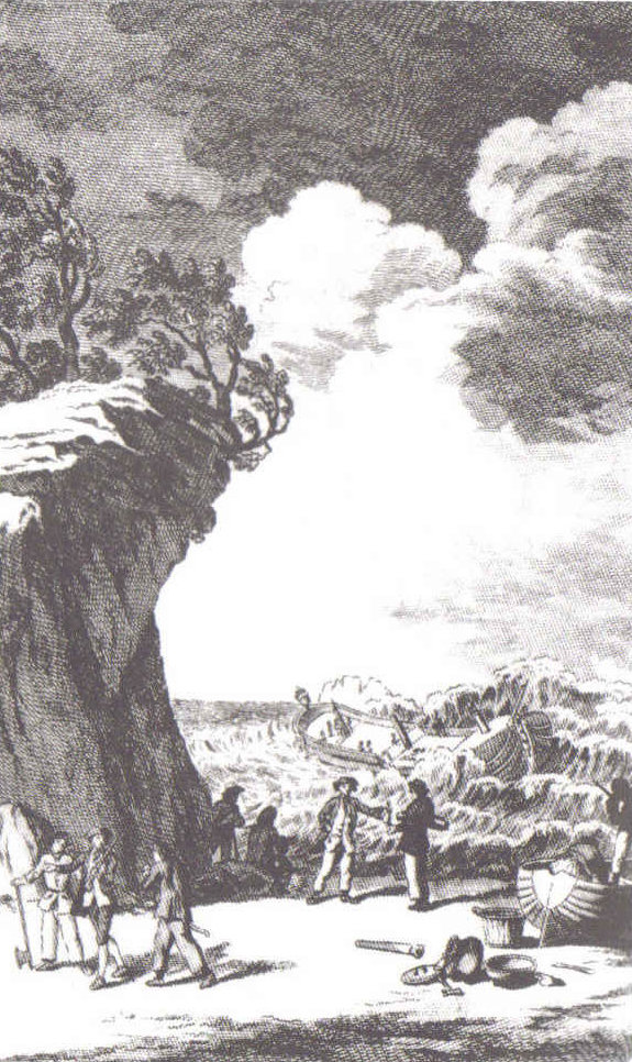
A gathering of 150 poets, 100 pupils, and attendants strained the patience and wealth of Guaire Aidne mac Colmáin, King of Connacht, when it extended to a year and four months.

Southwest View from Hags Mountain– CLICK ME!!!!
Our first and only encounter with fellow hikers. In the distance two figures appear over the next ridge, a mother and young daughter. She greeted us and challenged Sean to his knowledge of the area. Sean acquitted himself well and we continued.

On that 16th month, the king challenged the leader of his guests to the telling of a tale. Guaire demanded Seanchan Torpest, the chief poet of Connacht, to recite the whole of Táin Bó Cúailnge, known in English as the Cattle Raid of Cooley or The Táin (Cattle Raid).

Click a gallery pic for a larger view.

In this way the king was relieved of his guests: the book of the Táin was lost before their lifetimes, rumored to be abroad. Abashed at his failure, Seanchan Torpest withdrew. Fellow poets and followers trailed out from the castle.

Seanchan Torpest regrouped the host (an opened question is who then supported them) in conference to construct Táin Bó Cúailnge. It was a false hope as the gathering discovered while each poet knew a part of the whole, most of the story was lost. His honor, reputation and self-esteem in tatters the Chief Poet of Connacht, set off with Murgen, his son, and second cousin Eimena to return the Táin to Ireland.

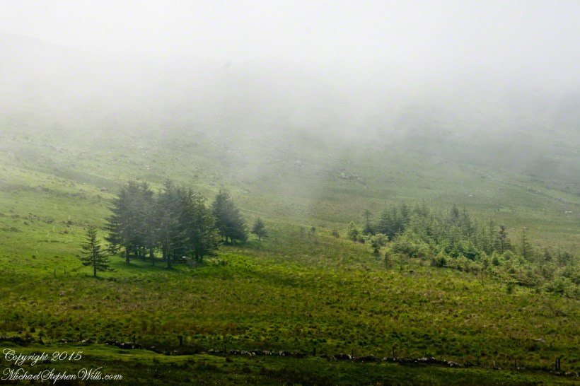
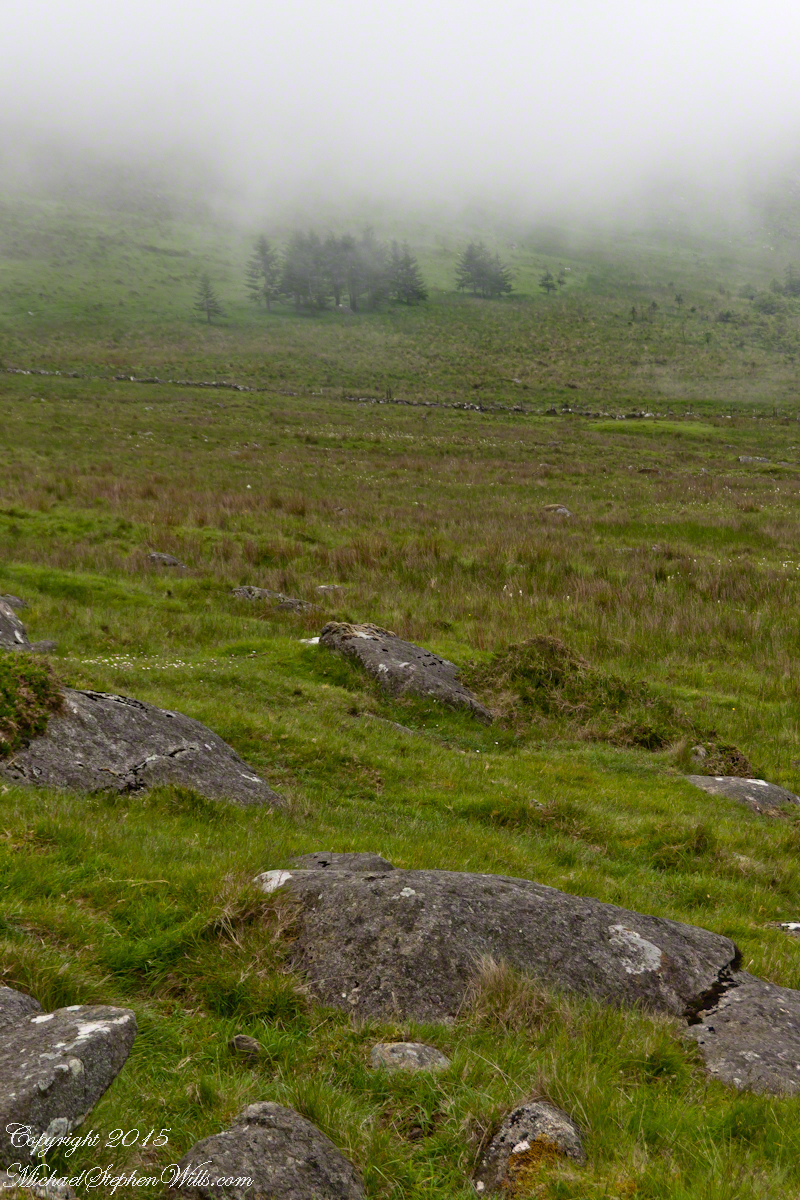
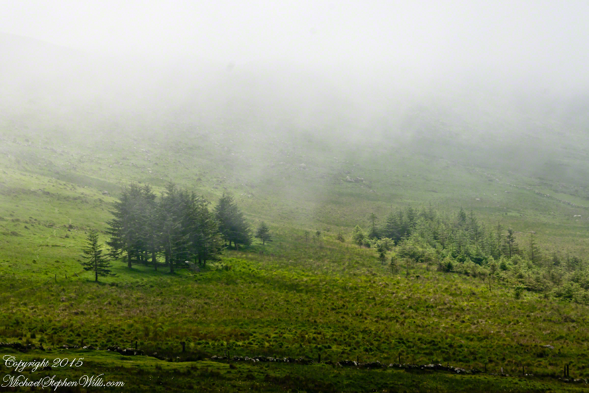
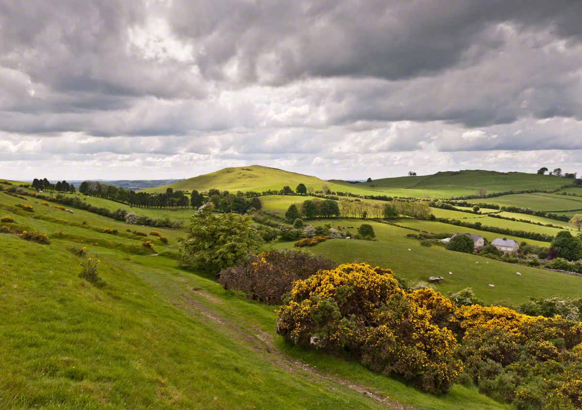
Into mists such as those Pam, Sean and I ascended, the travelers soon were lost and separated.

Magically, Murgen finds the grave of the Uncle of Cú Chulainn in the mists, there to meet the shade of that enormous man, Fergus mac Róich is his name. In the Táin, as related in whole by Fergus to Murgen, Fergus was led by circumstances to ally with Maeve, to guide her army against the Ulstermen. As a deposed king, traitor to Ulster and Uncle to the champion Cú Chulainn, Fergus knew the tale entire.

My Online Gallery– CLICK ME!!!!
View as we approached Goliyn Pass

It was from the mists that Murgen emerged, found his father and cousin, and returned together without the book, but with possession of the substance of the Táin.

Click this link or the above photograph to visit my Online Gallery

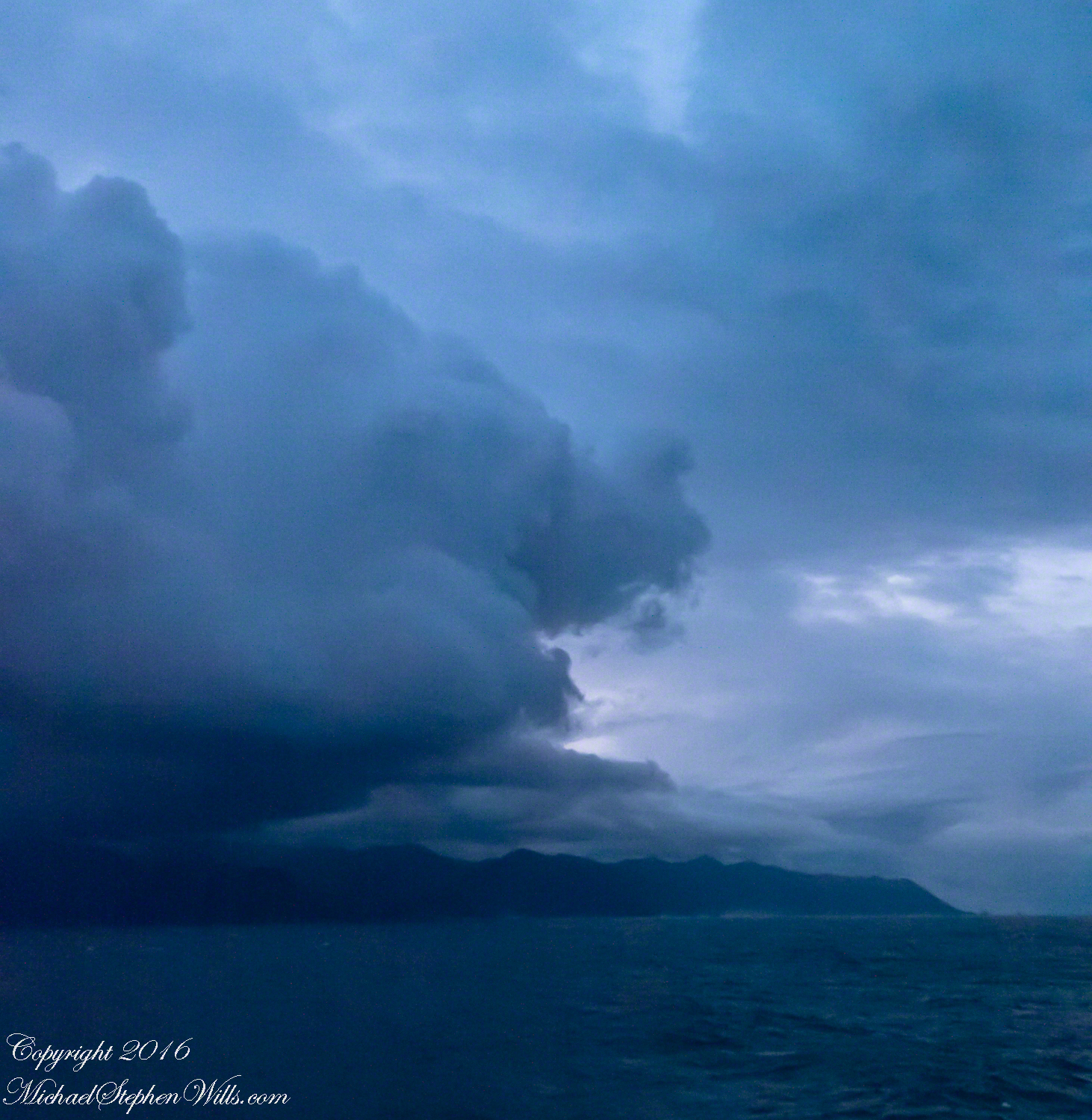
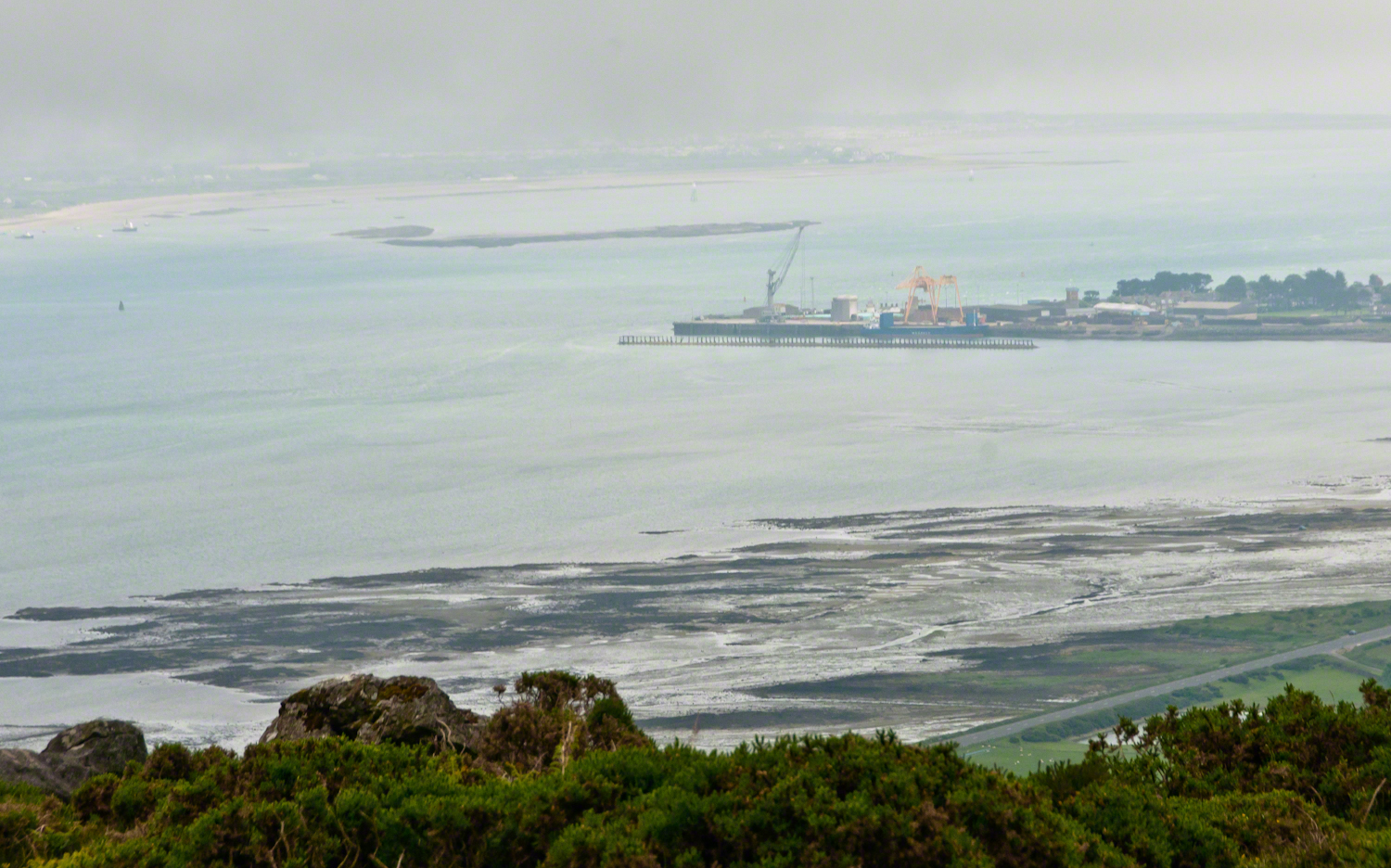
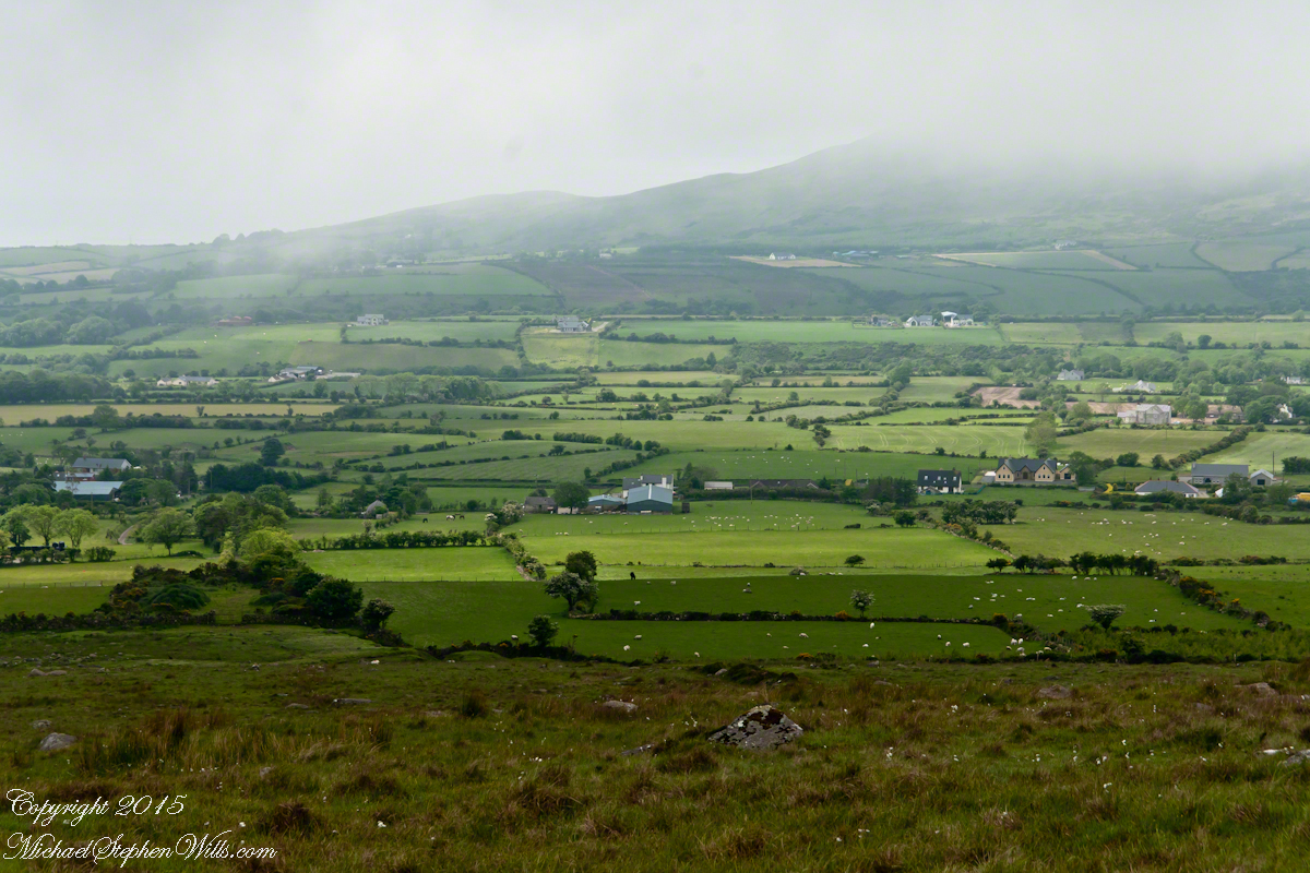
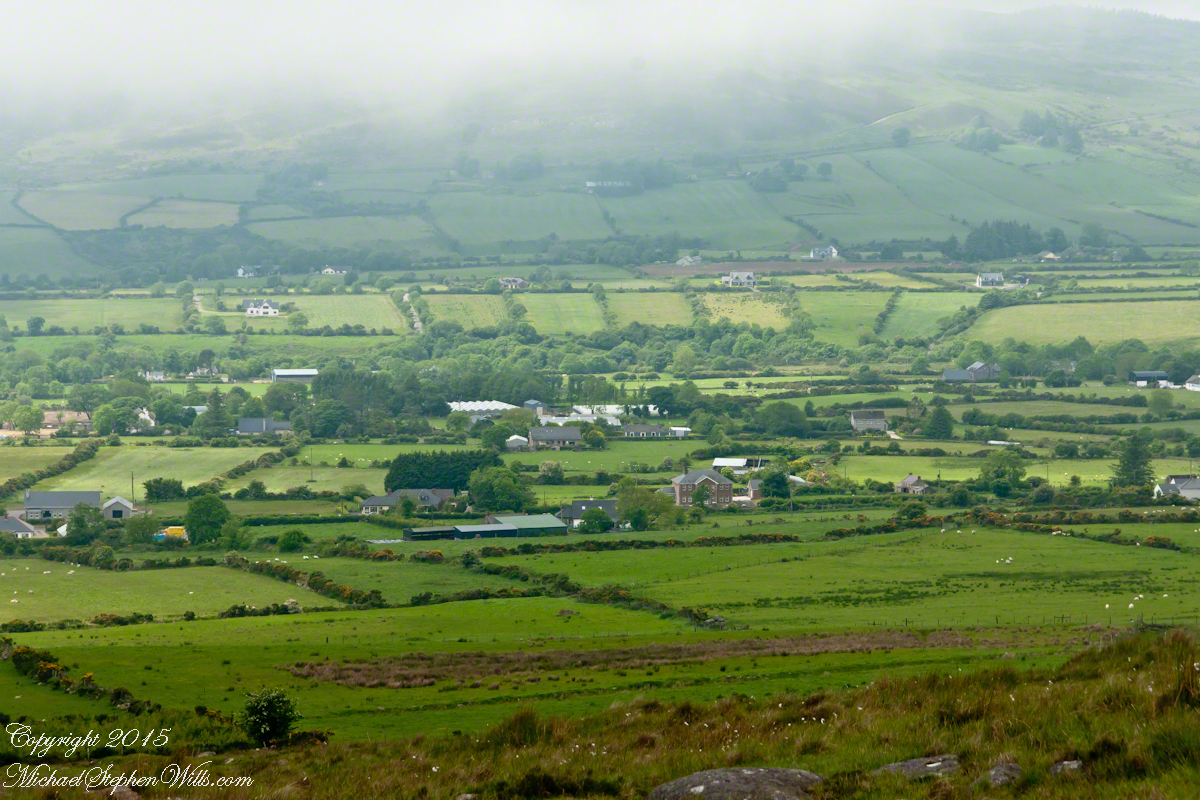
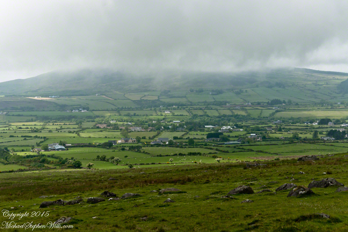
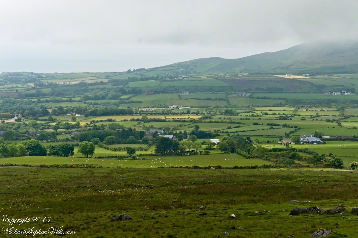
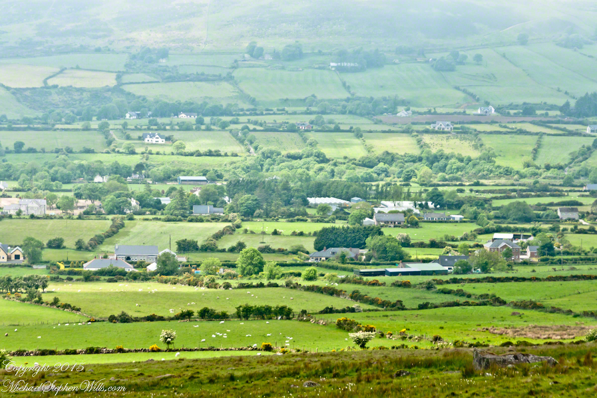
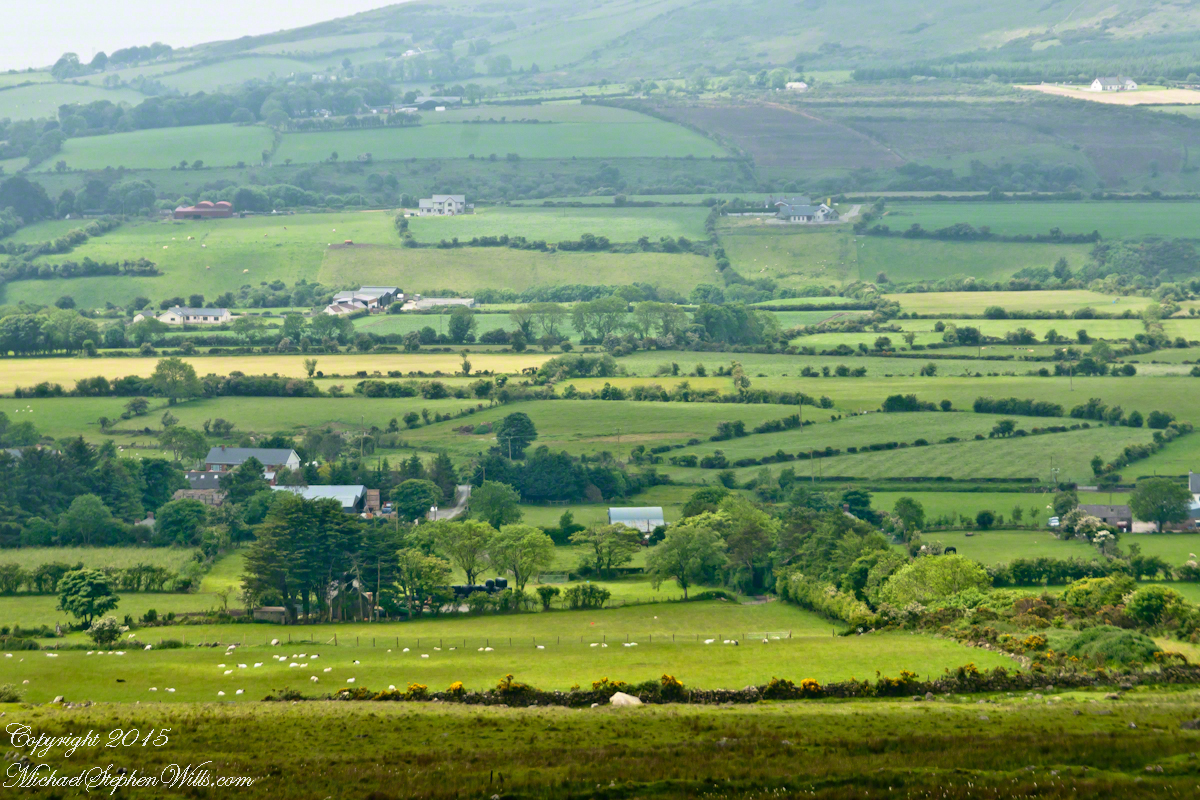
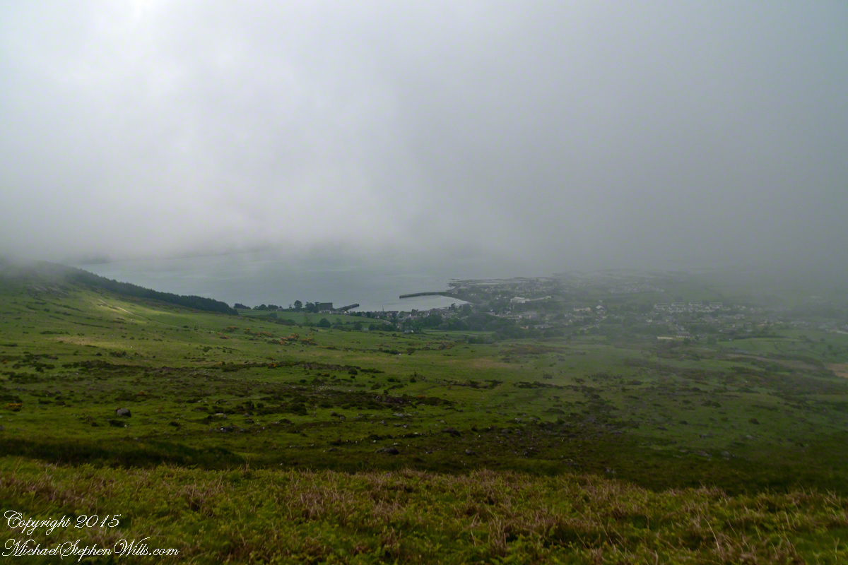
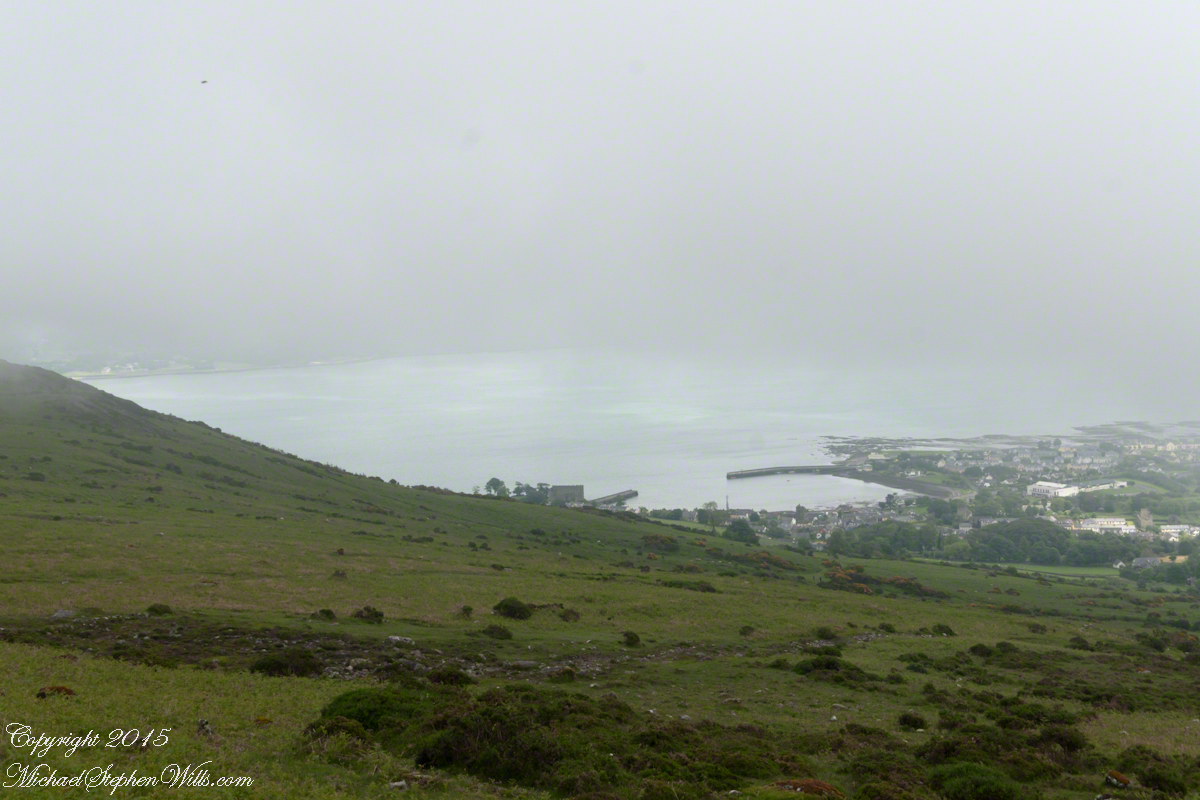
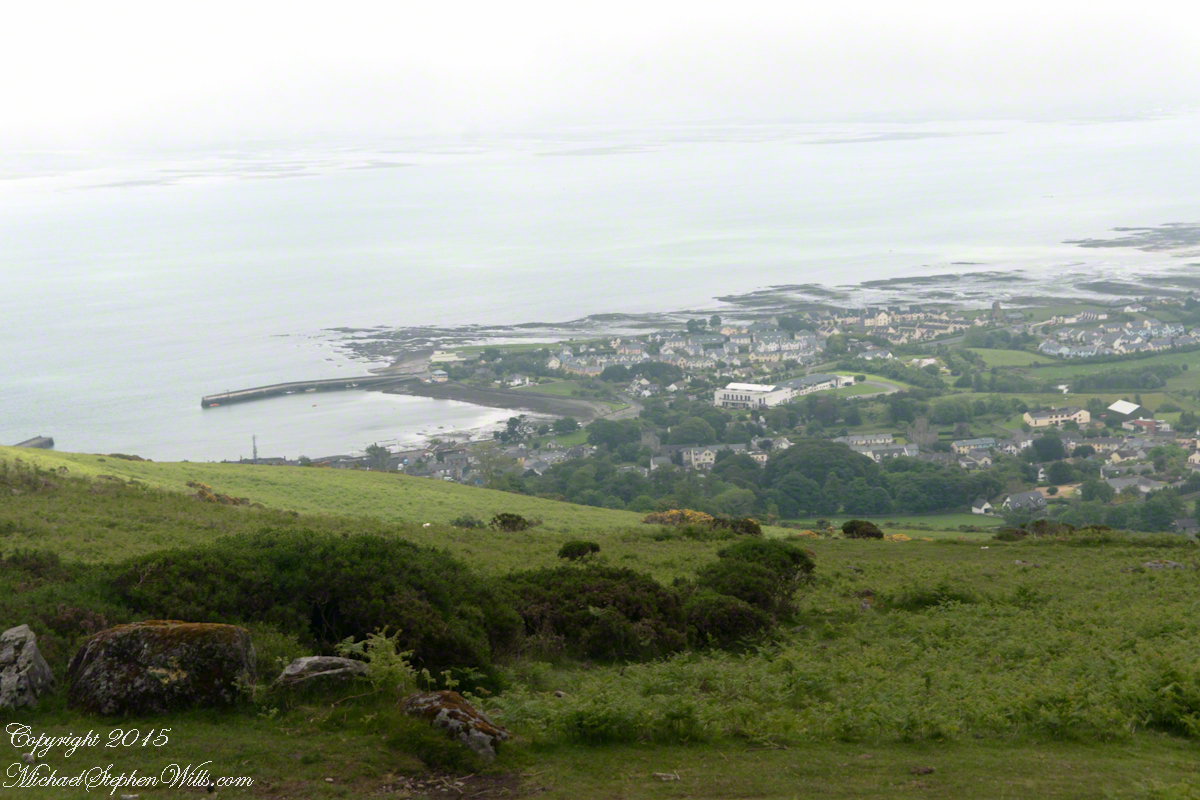
Views of Carlingford

Visit the opening chapter of our time on the Tain Way

Visit the next posting in this Ireland series, “Farmland Southeast of Carlingford”

A thank you to Wikipedia, my information source on the resurrection of the Táin.

Copyright 2021 Michael Stephen Wills All Rights Reserved

Loughcrew Hill View

On the Ground in County Meath

The popular name of the Loughcrew megalithic site is, “The Hill of the Witch” (In Irish, Sliabh na Caillí). In lore sites such as this are associated with The Others (“fairies”), living lives parallel and invisible to ours, touched now and then with resolutely ill effect to our side though sometimes theirs as well. Resolute as in these meetings are fated to end poorly unless…..unless the mortal knows the rules. “If you are ever in an Other’s mansion for a party never, ever eat or drink anything. Eating or drinking will condemn you to an eternal round of parties. You will dance till dropping every night.” Rules such as that, and others, can be used to turn the tables, gain an advantage, of beings from the Other Side.
The story of my wife, Pam, how our lives came to be touched by this afternoon of May 27, 2014, is parallel to the tales of mortals benefiting from contact with The Others. The immediate source was the passing of my mother, Catherine Ann Wills (McCardle), at the age of 90. Mom’s passport gave her place of birth as Proleek, a place in Louth. My maternal grandmother, Mary Catherine McCardle (Mills) spoke with a brogue, less a lilt than a down to earth and kind warmth. I remembered the stories of Mom’s passage to Canada with her mother and father in 1926 at the age of three. The Ireland connection with my father was less direct as I never met his mother as an adult and we seldom spoke of her. It was left to me in the time between my Mom’s passing, an invitation for a visit from our cousin’s in County Louth, and our arrival May 2014 to understand more about Elizabeth (Duffy) Wills, my paternal grandmother.
In this way, I discovered Elizabeth came from a family of Dunderry, County Meath, Ireland, her parents Matthew and Teresa (Plunket) Duffy; our tour of Ireland came to start from a bed and breakfast near Trim, County Meath, with Dunderry up the road. May 27th, we planned as an exploration of all things County Meath, to include Loughcrew, the highest point of the county in the west.
Along the steep path to the hilltop a hawthorn tree covered with flowers and offerings welcomes visitors. May is the month for decorating hawthorns, the blossoms are also known as “Mayflowers” as in the ship the pilgrims sailed to Plymouth Rock.

Click the photograph to open a new window/tab of my Online Gallery.
Pam and Hawthorn– CLICK ME!!!!

As if we entered a gateway, when pausing and turning high on the hill, this view was revealed, otherworldly in its fullness, scope and wonder as though we passed to the other side to the fairies.
Cairnbane East of the Loughcrew Cairns site, County Meath Ireland, is also known as Hag’s Mountain. We are looking south, southwest from the north side toward Cairnbane West. Flowering yellow whin bush, also known as gorse, is in foreground; white flowering hawthorn trees in distance. No elements of this photograph hint at the year 2014.

Hag's– CLICK ME!!!!

A solitary standing stone below the trail to the Loughcrew site surrounded by whin bush in yellow flower and white blooms of hawthorn hedge rows. A fieldstone fence, farmhouses, a patchwork quilt of fields completes the view.

Hag's– CLICK ME!!!!

Meanwhile, in the real world, when Pam and I complete our round of the island to return to my cousins in County Louth, they told us, on this day, two young men were discovered parked next to a nearby lough, murdered during a drug deal gone bad.

Click for another Ireland posting

Copyright 2021 Michael Stephen Wills All Rights Reserved

First Balloon Sighting

Always surprising and a wonder

Pam and I enjoyed the local hot air balloon for the first time in 2021 floating directly in front of our home, along the valley formed by hills on the east and west, headed north toward Cayuga Lake and descending steadily, looked to have landed close by. I heard the “whoosh, whoosh” of the gas burner first and distinct from a jet landing at Tompkins County airport. Always a thrill to see one up close.

Copyright 2021 Michael Stephen Wills All Rights Reserved

Dawson’s Magnolia?

A 2021 Blessing

The Magnolia genus has been around for eons, come characteristics are protective from beetles as they existed before bees and relied upon beetles for fertilization. Our’s may be the species Magnolia dawsoniana (Dawson’s Magnolia), it shares many of the published characteristics: among them tolerance to our hardiness zone 5, flower color and shape, tree growth pattern.

This was an exceptional year for blooms. starting late April, lasting into May. The fence around trunks is for protection against bucks (male deer), from rubbing their horns in autumn.

For most of these 2021 photographs I used the lens Canon 24 mm f/1.4L II USM, the one captioned 50 mm I used Canon 50mm f/1.2L USM. The Canon EOS 5D Mark IV dslr with the Manfrotto Studio tripod with hydrostatic ball head for all.

The last great year was 2018……

For these 2018 photographs the Canon 24 mm and Canon EF 100mm f/2.8L “Macro” lenses with Canon’s EOS-1Ds Mark III dslr.

Copyright 2021 All Rights Reserved Michael Stephen Wills

On the Tain Way

A place of myth and wonder on foot and approachable

On Monday, June 9, 2014, cousin John Mills dropped his son, Sean Mills, myself and Pam Wills off at the foot of the western slopes of Slieve Foy on the Tain Way.  Sean, Pam and I walked the way over the mountain and into Carlingford in the footsteps of epic Irish heroes.

Our guide, Sean Mills, proposed the walk and it fell on our last full day in Ireland. Sean’s father and our host for this visit, John Mills, transported the group including my wife Pam to the starting point at the foot of Slieve Foy.

Click this link to visit my Online Gallery

On the Tain Way– CLICK ME!!!!

Yes, if there is any part of the Tain Way the the mythic Irish heroes trod it is this one over Slieve Foy mountain. The saga, in Irish “Táin Bó Cúailnge” and “The Cattle Raid of Cooley” in English, features this bull, “Donn Cuailnge” “The Brown Bull of Cooley”, here as a statue erected 2011 by the Grange and District Residents Association.

Walking the Tain Trail to Carlingford

Donn Cuailnge raged over the very slopes we walked this day. The myths themselves fill a volume and I am unable to do them justice here.

On the way, John stopped at the Old Aghameen School he attended in the late 1930’s early 1940’s 70 years before and we pass through the country soon to grace our views.

Many thanks to the Glenmore Athletic Club, the Cooley Walking Forum and land owners who provide access to the Tain Way.

We had our leave taking with John, who planned to stay near the phone for our call from Carlingford, if all went according to plan. That same year Pam had the first of two total knee replacements. This was our longest hike in Ireland and Pam was not likely to miss it, regardless of any pain. Pam is always ready to smile.

Walking the Tain Trail to Carlingford

At start, the Tain Way is broad, green and welcoming.

Walking the Tain Trail to Carlingford

The western slopes of Slieve Foy hold views of a valley among the Cooley Mountains with Dundalk Bay of the Irish Sea to the south / southeast. It was not long before the view started to open and, then, opened and opened the entire walk to the top. We were graced with a lovely, cloudy, June day. Mist only, no rain. Plenty of wind, not strong.

Walking the Tain Trail to Carlingford

Farms are all about. Here a farmer attends to the flock. They know who he is.

Walking the Tain Trail to Carlingford 
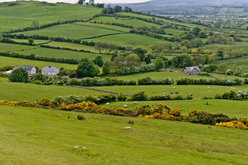
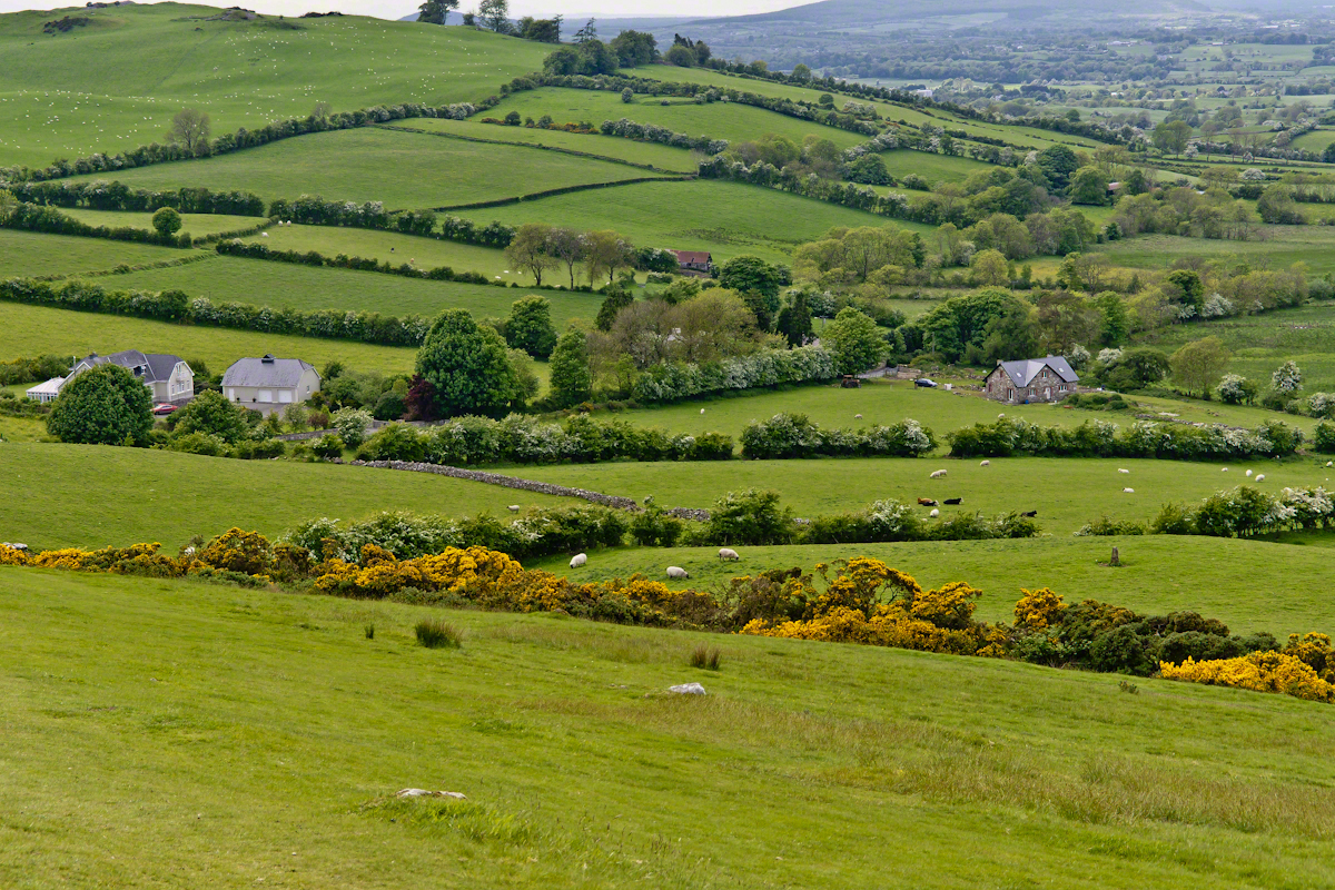
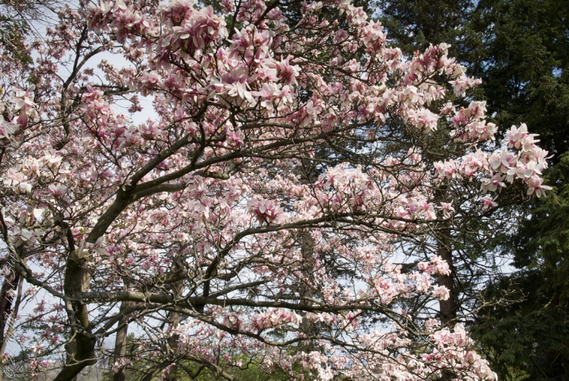
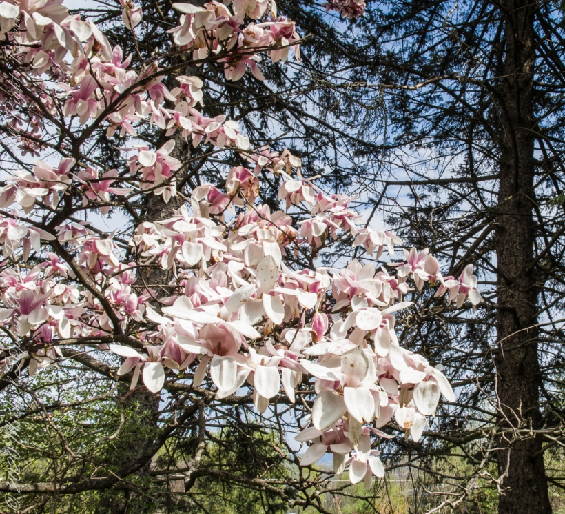
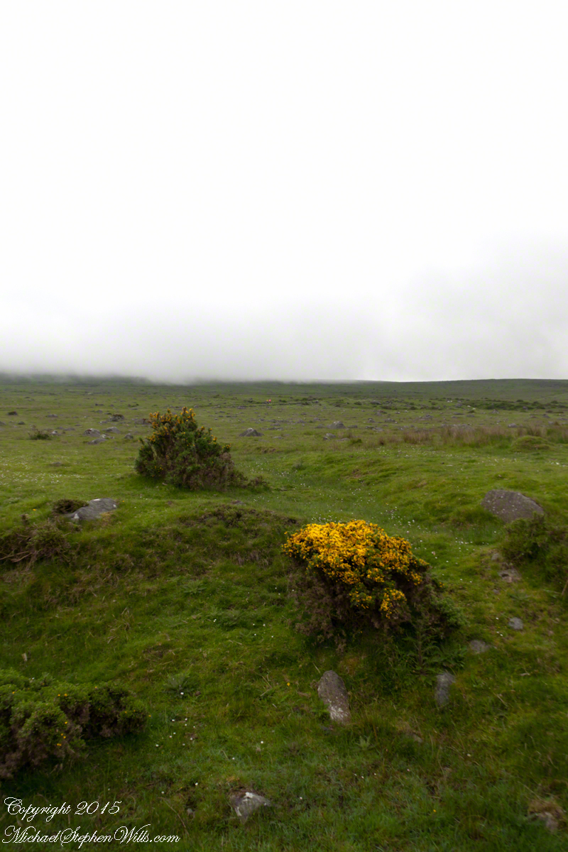
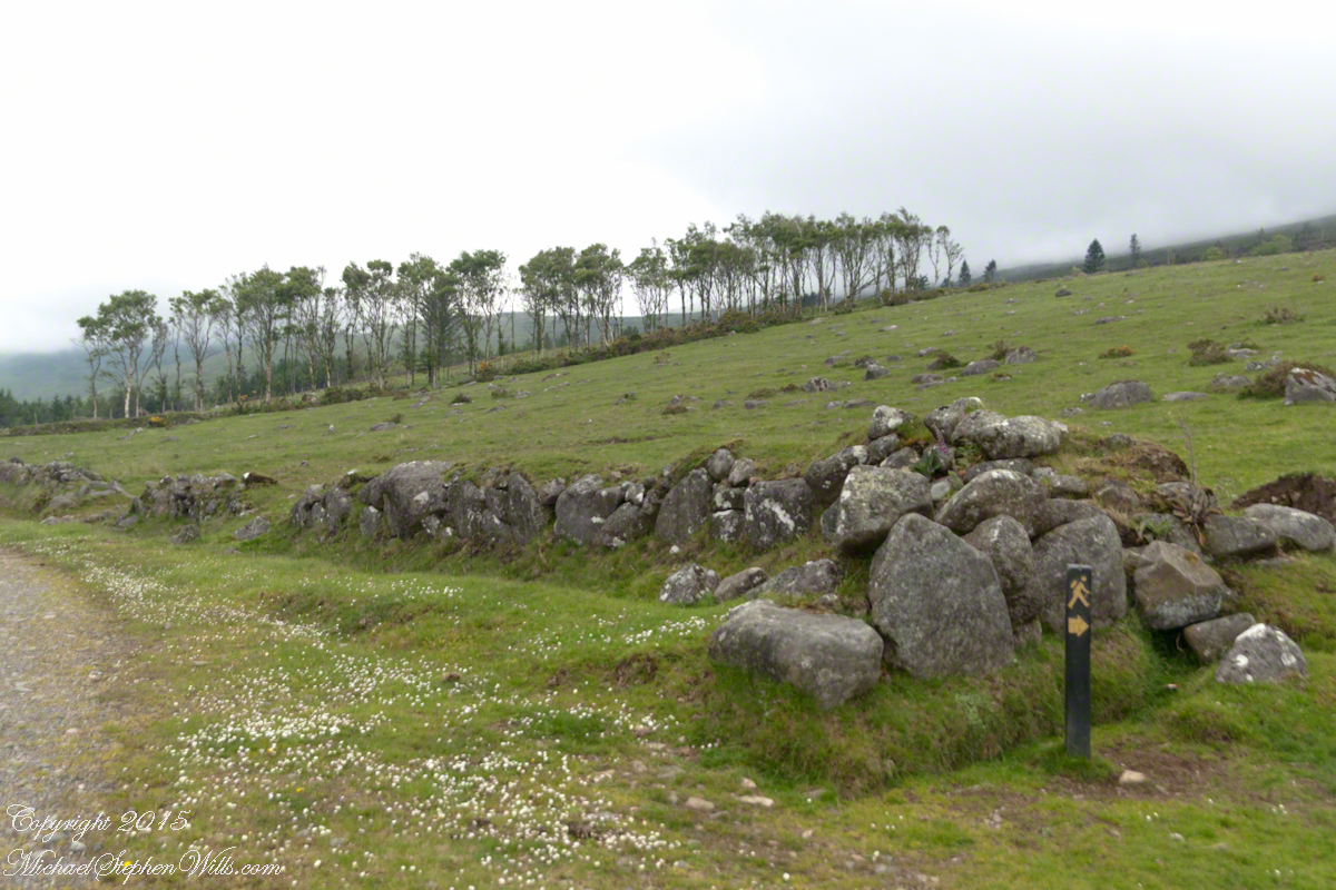
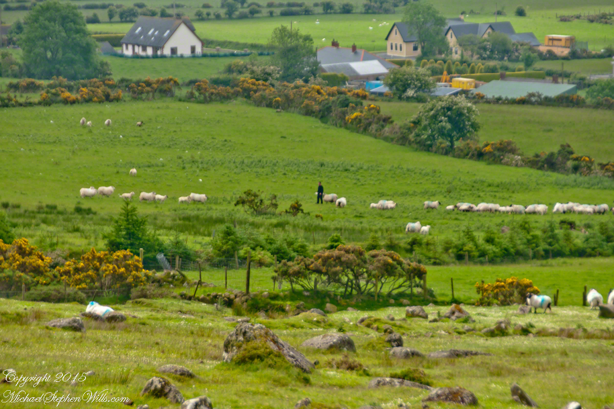
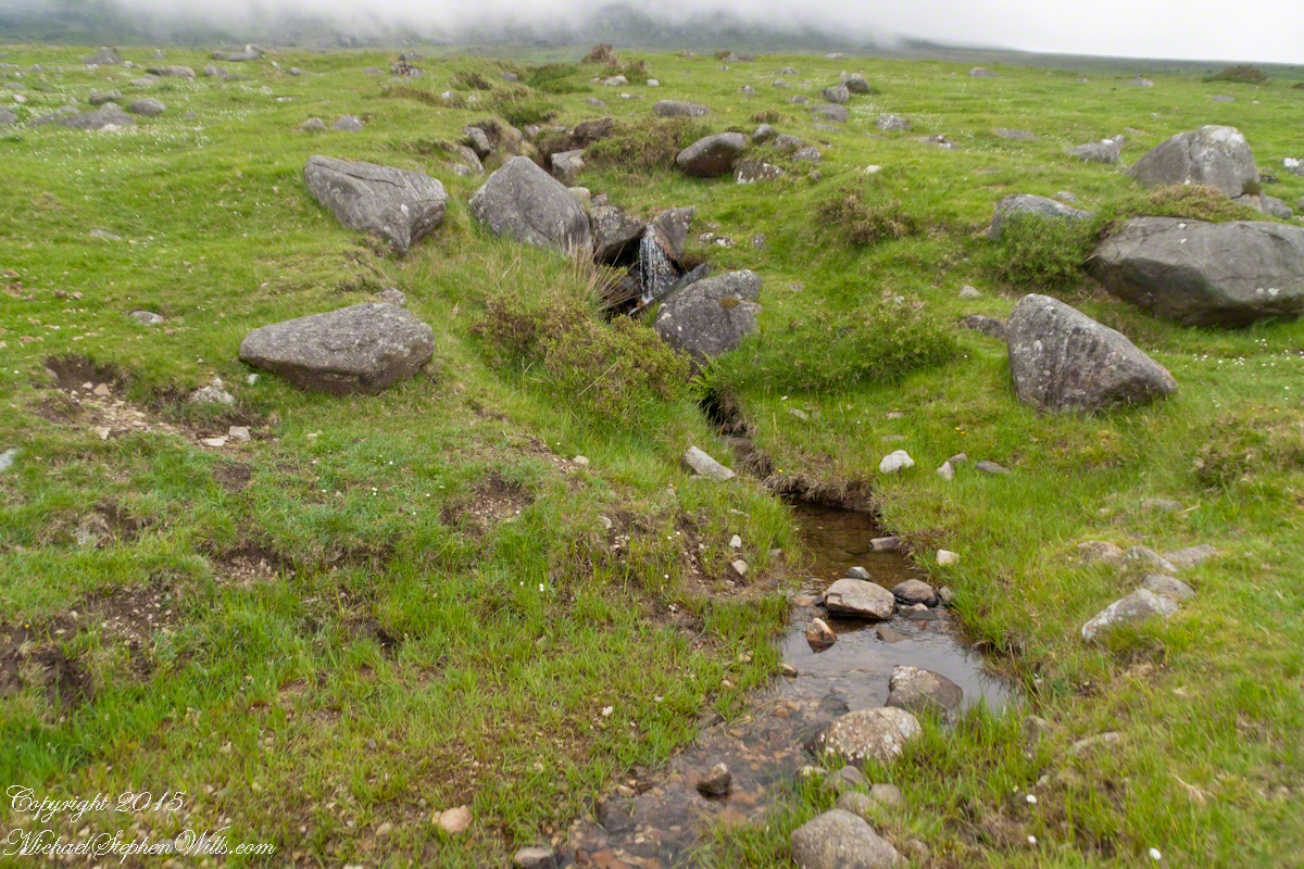
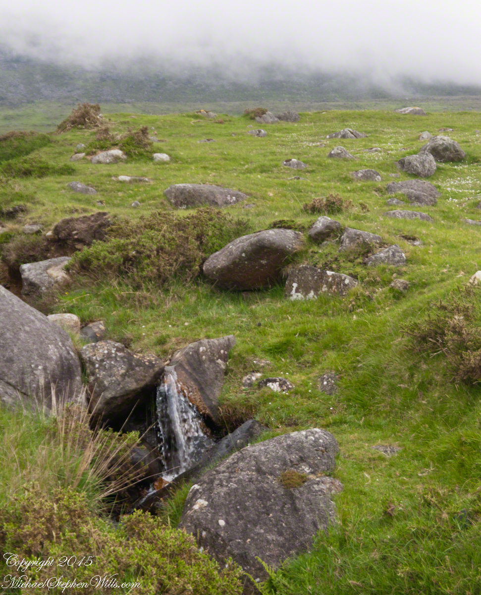
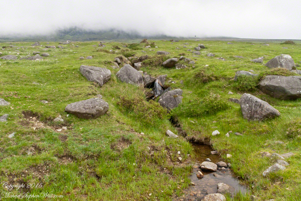
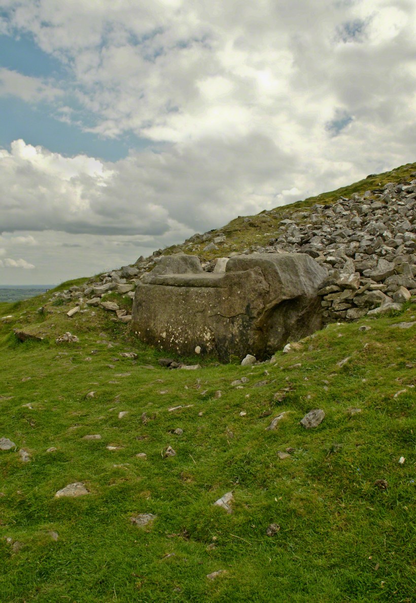
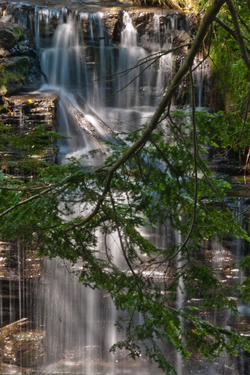
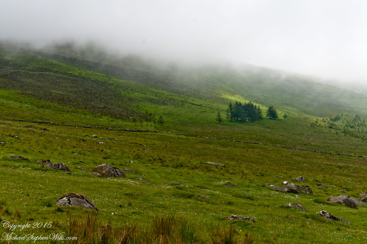
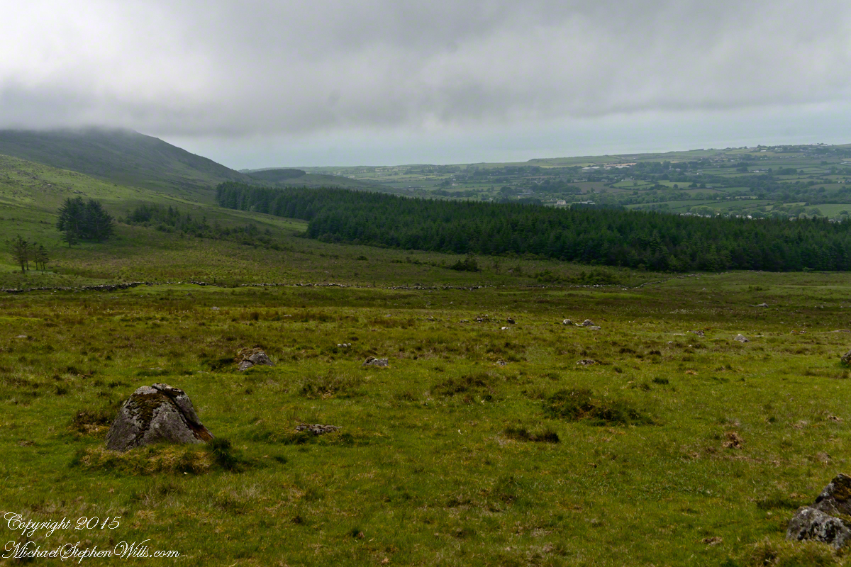
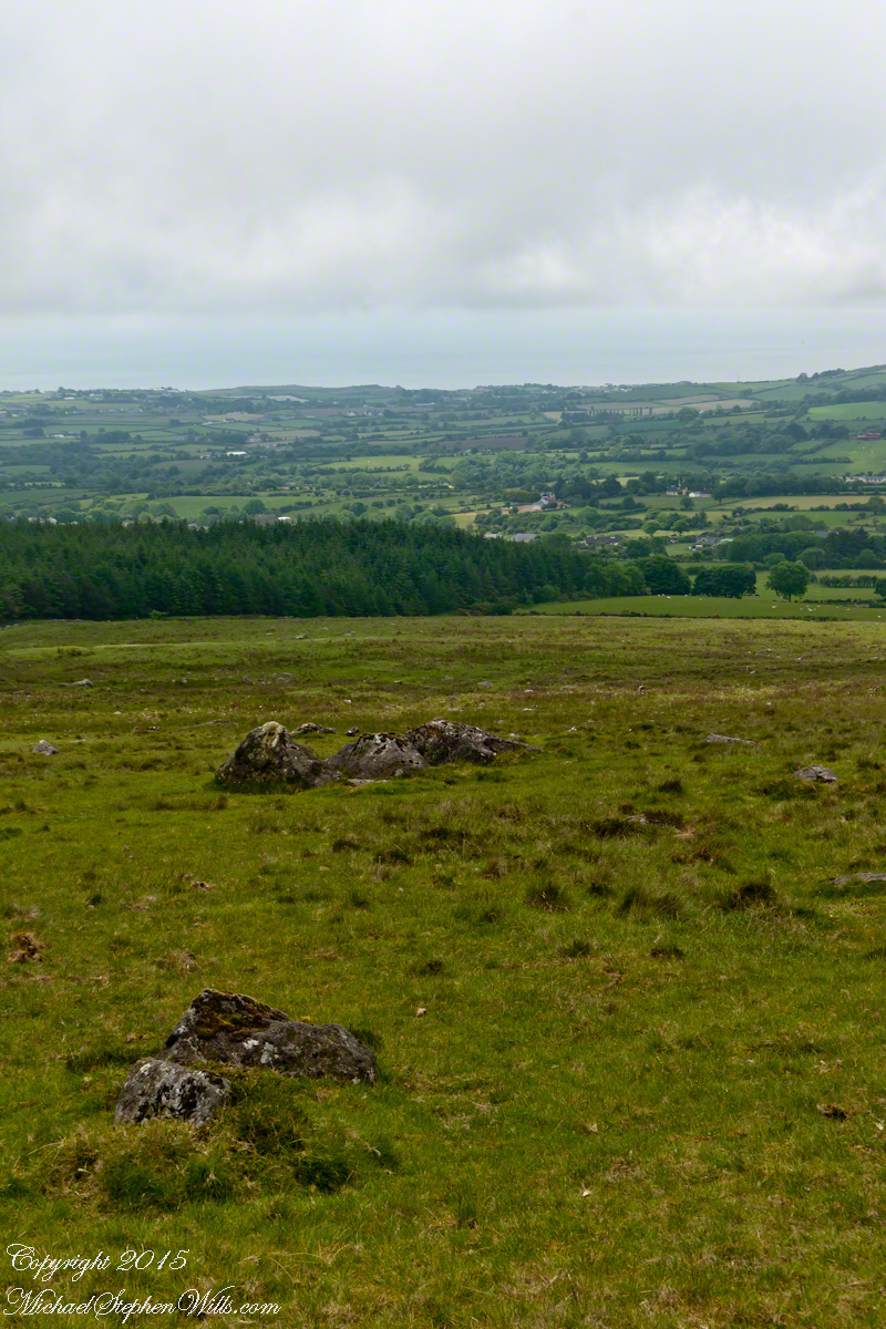
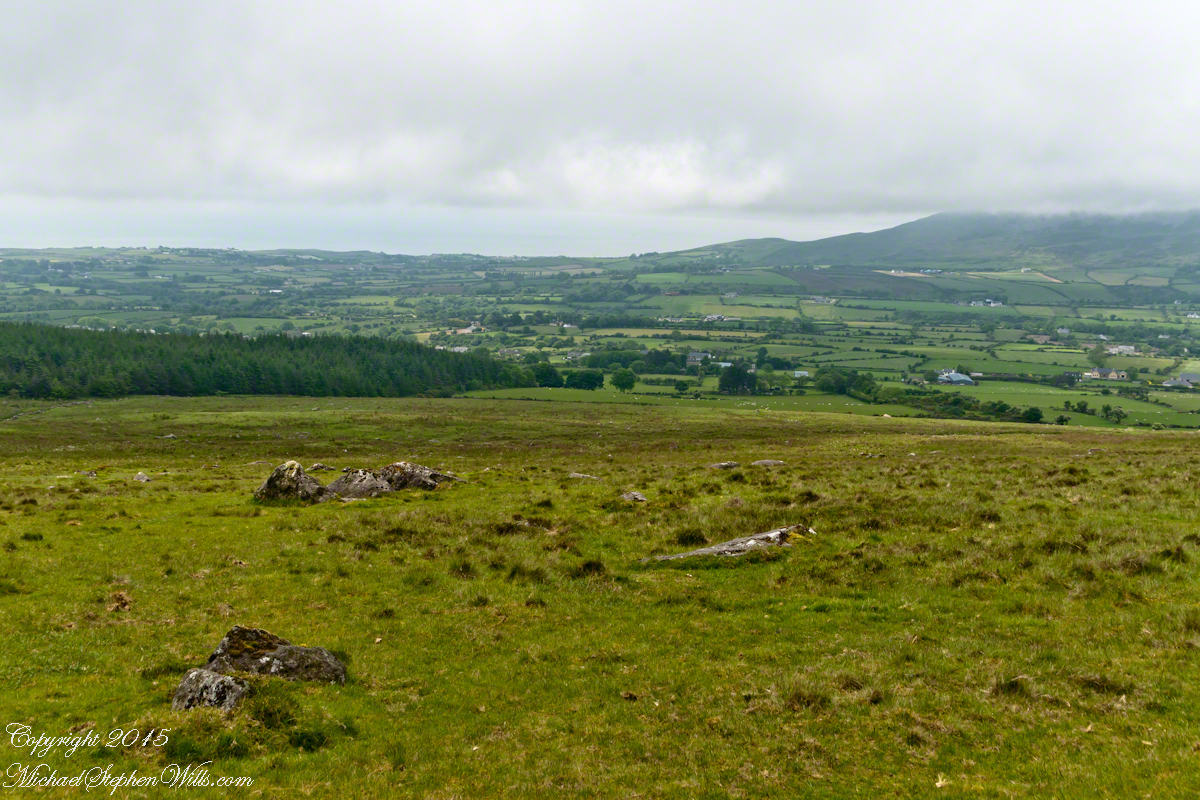
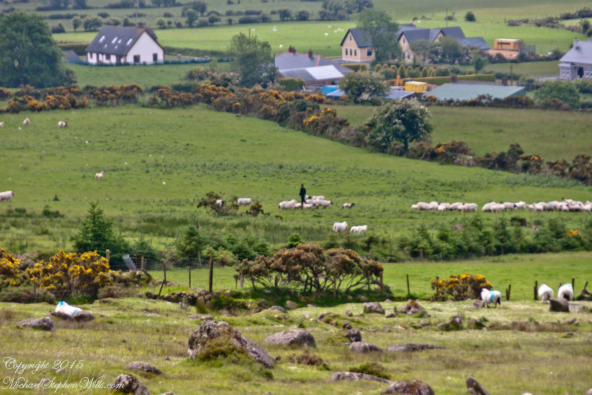
The lower slopes hold many small stream among granite stones.
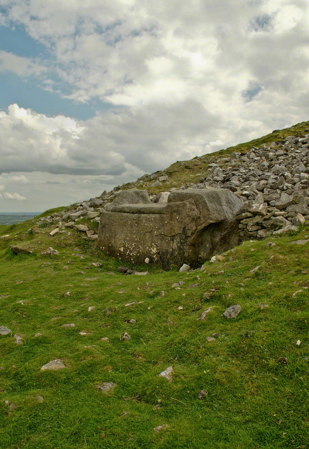
 Walking the Tain Trail to Carlingford Walking the Tain Trail to Carlingford Walking the Tain Trail to Carlingford Walking the Tain Trail to Carlingford Walking the Tain Trail to Carlingford

I will continue with our walk on the Tain Way soon enough.

Click for the next chapter of our time on the Tain Way

Here’s a previous Ireland posting……

Copyright 2021 Michael Stephen Wills All Rights Reserved

Gulf of Penas

Rounding the Aisen Headland

Entering Penas Gulf
Rounding the Aysen Region headland of the Penas Gulf. Next land will be the Magellian Region extending to Cape Horn. In the Penas Gulf we will enter the Messier Channel and the fjords.

Get More from My Online Gallery

Taken with a tripod mounted Sony DSLR A 700 DT 18-200 variable lens set to 18 mm.  1/40 second at f4.5 ISO 6400.  The sun was still low, after sunrise with gathering storm clouds from the terrace of our state room (a moving ship).

Our early morning traverse of the Penas Gulf was smooth sailing in route for Tarn Bar, entrance to the Messier Channel. We’ll pass Wager Isle where May 14, 1741 the H.M.S. Wager wrecked, stranding the crew. Speaking to the conditions on board, immediately some of the crew broke into the “Spirit Room, got drunk, armed themselves and began looting, dressing up in officers’ clothes and fighting,” many drowning the next day when the Wager flooded and sank.

The original fronts piece to Byron’s Narrative; “Being an Account of the Shipwreck of The Wager and the Subsequent Adventures of Her Crew.”

The remaining 140 officers and crew manned the boat to make for shore in the Patagonian winter. Five years later, midshipman John Byron, grandfather to the poet Lord Byron, made it back to England with the Captain David Cheap. Just west of Wager Isle is the larger Byron Isle, named in his honor.

On this south heading our cabin on the port side faced east. In these early morning hours, I set up on the stateroom balcony, so for better or worse there is no views of either Wager or Byron Isle.

Entering Messier Channel from the Gulf of Penas is the next blog in this series.

Lighthouse on Cape Rapier is the previous blog in this series.

The contents of this blog are Copyright 2021 Michael Stephen Wills

Hag’s Chair or Mass Rock?

Ancient Tradition

Part of our day in County Meath, Ireland  
Click the photograph to open a new window/tab of my Online Gallery.

Known as the Hag’s Chair in some contexts, K29 or the Mass Rock, in others, set as a Cairn T, Loughcrew kerbstone thousands of years ago the carved symbols on front, rear and seat are very worn. There is no surviving record to inform us of the stone’s purpose. The upper side appears carved to enhance the form as chair.   Set to the north of Cairn T, not in front of the entrance as with Newgrange, even this is a mystery.  It is the third largest curbstone.

Hag's Chair– CLICK ME!!!!

The popular name refers to the hill itself, “The Hill of the Witch” (In Irish, Sliabh na Caillí).   In lore sites such as this are associated with The Others (“fairies”), living lives parallel to ours.

Tradition holds that, during times of the Penal Laws, Catholics gathers on for Mass using this curbstone as the altar.   By this it is known as the Mass Rock.

Click for another Ireland posting

Copyright 2021 Michael Stephen Wills All Rights Reserved

Farmland Southeast of Carlingford

Beauty of the Cooley Peninsula, County Louth, Ireland

I offer here a continuation of descriptions of a 2014 walk on the Tain Way, an appreciation of the lore and beauty of Ireland.

Descending the Tain Way from the ridge of Golyin Pass the sweep of Cooley Peninsula spread before us. Louth is the smallest of the Irish Republic counties, a peninsula which is mountainous where it is not farmland, one exception being Carlingford with the most people, population 1,405 in 2016.

Residential Carlingford continues along the Greenore Road, farmland adjoins then continues southeast along the Cooley Peninsula margin, the Irish Sea beyond. Greenore Town and deep water port on upper left.  These photographs are views from the Tain Way on the slopes of Slieve Foye, the highest mountain of County Louth.

Greenore Town and Deepwater Port
Click this link for my Ireland gallery of Fine Art Photography.

Wander through the place names: Chapel Hill, Liberties of Carlingford, Moneymore, Leminageh, Crossalaney, Mullatee, Millgrange, Ramparts, Muchgrange, Ballyamony, Mullabane, Petestown, Ballagane, Willville, Whites Town.


There is a deepwater port on Carlingford Lough adjacent to and part of Greenore Town. The port employed Cousin John Mills years ago, supplementing his farm income. Across the lough is Greenecastle, Newry in Northern Ireland.

Greenore Town and Deepwater Port

The Irish Sea opens on the far side of Greenore with the Isle of Man about 52 miles east and a little north.

Visit the opening chapter of our time on the Tain Way

Click link for the next posting of this series, “Leprechaun Rock along the Tain Way”

Copyright 2021 Michael Stephen Wills All Rights Reserved

Last Sunlight

A Waterfall in November

Summertime, reckless souls jump from the stone stairway into a cool water carved pool at the foot of these falls, one of my memories of the Treman Gorge Trail.

Click the link to learn more about this photograph’s story.

Copyright 2021 Michael Stephen Wills All Rights Reserved

Spillway Falls with Hemlock

hemlock grace and water

The Dry Creek dam is across the upper, eastern, end of Fillmore Glen. Historical records of the dam construction must exist someplace. My opinion is, somewhere in the federal bureaucracy there is a record proving this dam was constructed by Roosevelt’s Civilian Conservation Corps in the 1930’s. That is when the gorge trails were dramatically improved and it is logical a dam was necessary to control water flow during times of heavy rainfall and the spring thaw, to allow a full appreciation of the gorge beauty. It is a substantial concrete structure with cast iron controls, two spillways: one never, the second always flowing. This day the reservoir is full, frequented by beavers, stocked trout, herons, blue jays, crows, hermit thrush. The reservoir banks are thick with wildflowers of the season. This afternoon I noticed purple flowering raspberries: a past prime bloom or two, ripe fruit growing in the late afternoon shade on the south side of the dam.

Unlike its name, Dry Creek is perennial, fed by a broad drainage of pastures, cornfields and forests. Year round the spillway runs, feeding into the gorge a constant, reliable supply of water for the many waterfalls for which Fillmore Glen State Park is known. The very first waterfall is on the rocks supporting the north side of the dam, formed where water from the spillway flows over these rocks into a deep, east west gorge overhung on the south side by mature hemlock trees.

I first encountered Fillmore Glen in the 1980’s with my young son, Sean. On Sundays he and I walked as far as he tolerated, about half way to the dam site, where the gorge makes a turn to the south, the trail on an unstable clay bank against a crumbling shale cliff. Rediscovering the park in the early 2000’s, along with my interest in photography, I noticed the waterfall just below the dam many times and admired it for how the water caught late afternoon light over the many grace points created by rock crags like a wedding cake. The angle from the dam path is wrong for capturing this effect. Today was a first for me to leave the safety of the dam path to climb into the gorge, on the south gorge wall, for a shot.

Here is a view of the spillway fall on a mid-August afternoon, 2017. My photography kit for this walk with my wife, Pam, was minimal: a Sony Alpha 700 with a variable lens, the flash and a Manfrotto carbon fiber tripod. For this version of the spillway I climbed into the gorge on the south wall, about 40 feet above the creek. A hemlock tree branch fell across the view, incorporated into the composition. These hemlocks are not a biological relative of the Socratic, poisonous, hemlock. The relationship is a similar aroma when the leaves are crushed. The f stop is cranked to 36, ISO set to 100 so slow exposure time to 1.6 second. Post shot processing via Photoshop.

Click this link or the photograph for my Online gallery of this offering
Spillway Falls and Hemlock Branch -- CLICK ME!!!!

Copyright 2021 Michael Stephen Wills All Rights Reserved