Kinsale Walking Tour 5

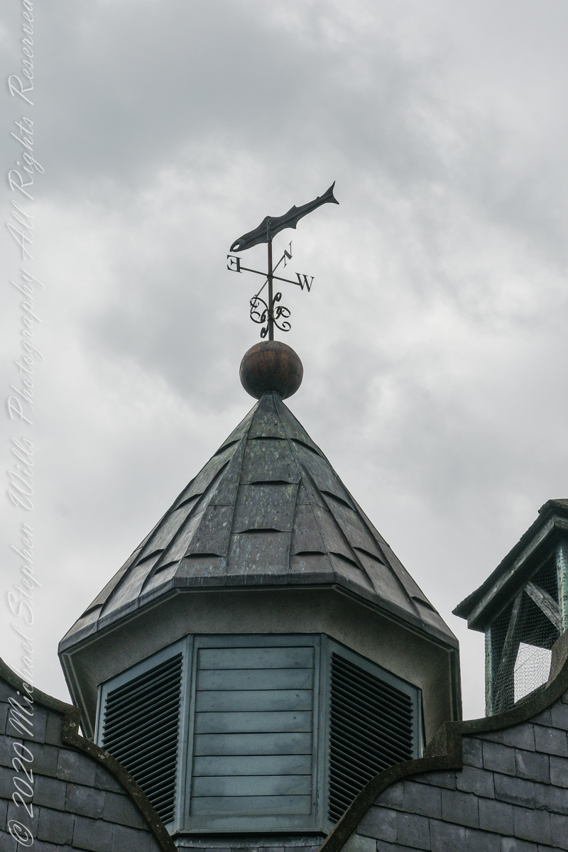
Kinsale Giant with pickled herring

The fifth of a series of idiosyncratic posts from a walking tour of Kinsale by Dermot Ryan. My Sony Alpha 700 captured the events back in May 2014.

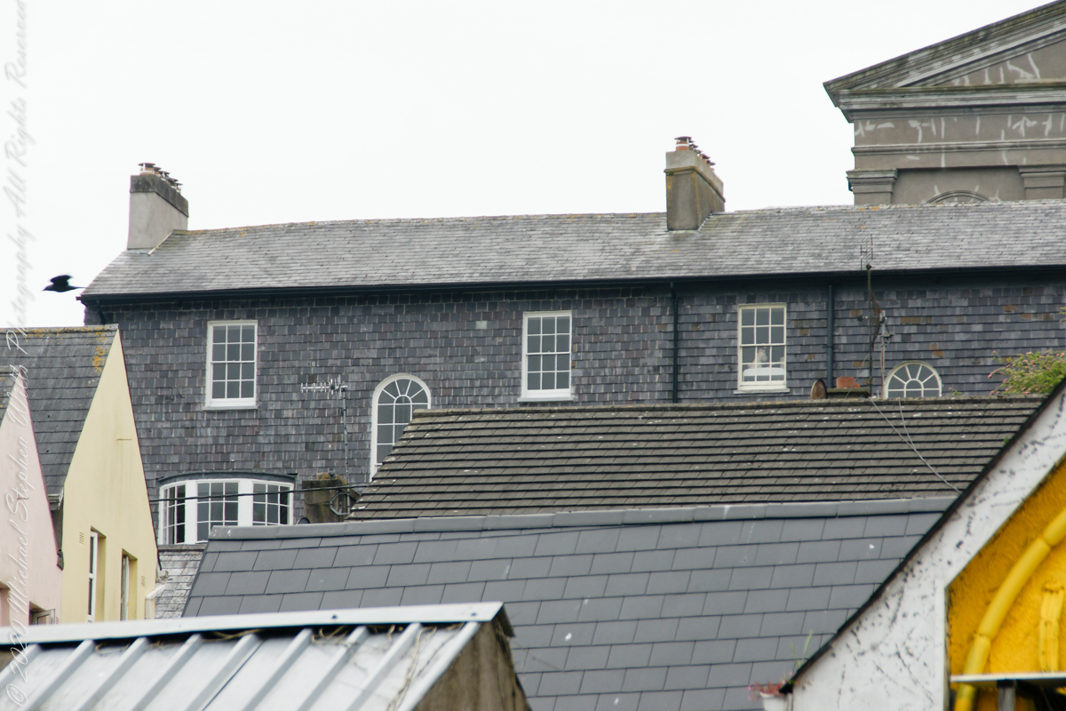
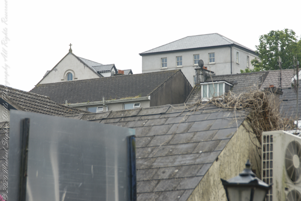
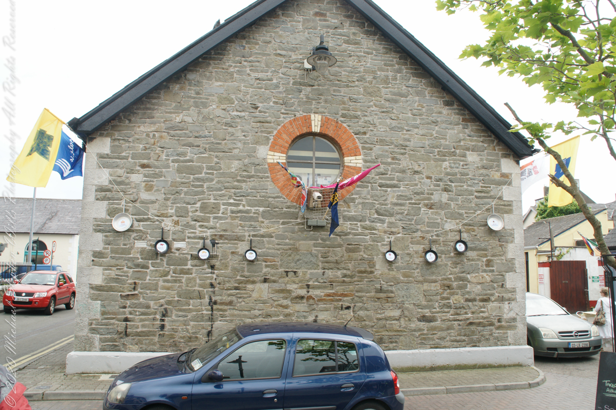
A stone’s throw from the antique mooring of post 4 is this former Courthouse building, Market Square. Built around about 1600, with additions in 1706 which included the frontage with the loggia on the ground floor. Offices and a jury room were provided on the first floor, and part of the original building was converted into a paneled courtroom.
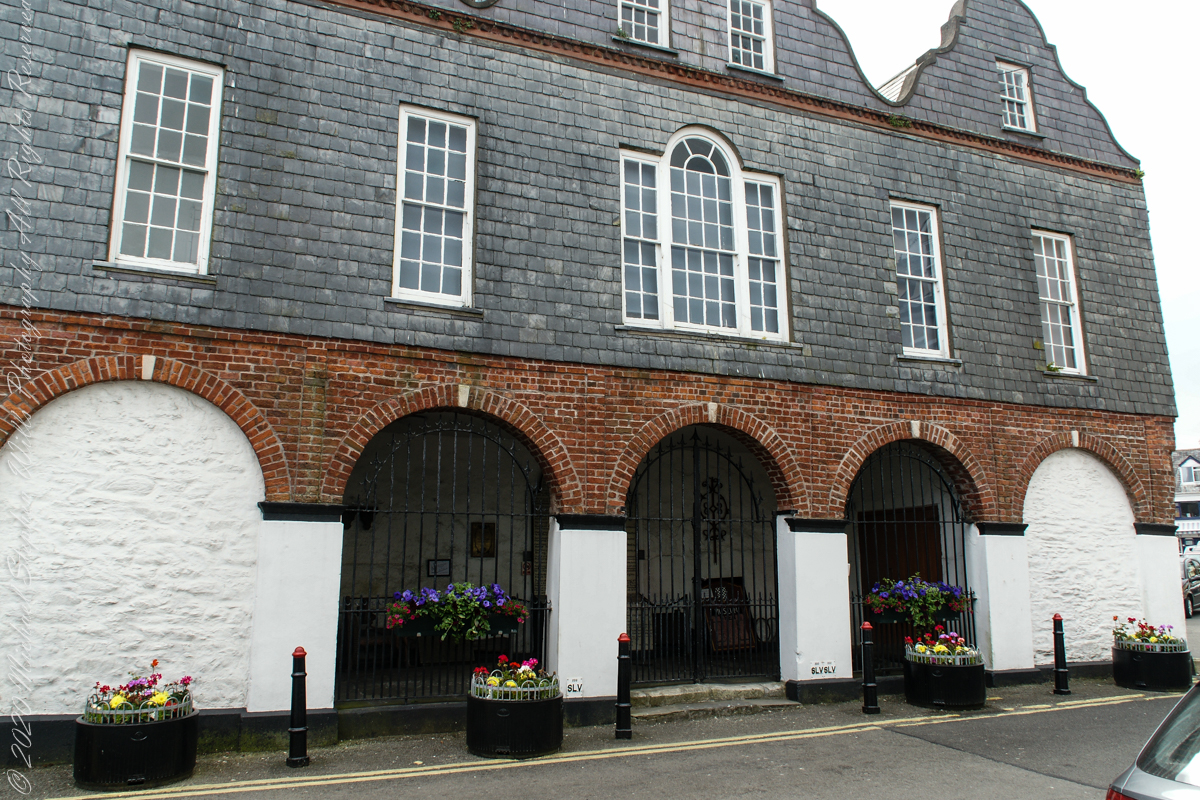
It was in this building that the Kinsale Town Corporation and its sovereign conducted their affairs and the Courthouse was also used for ceremonial occasions in the 18th century. This courthouse was the location for the inquest on the victims of the Lusitania, sunk off the Old Head of Kinsale in 1915 and is now home to the Regional Museum.
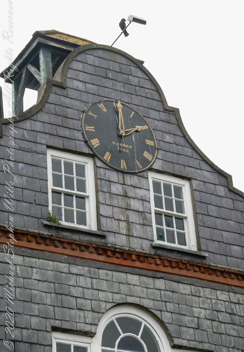
The Museum in the Courthouse includes a display on the famous Kinsale Giant. He was Patrick Cotter O’Brien. He died in 1806 and is believed to have been over 8 foot tall.
The Museum houses the largest collection of maritime artefacts in Ireland.
Click Me for the next post in this series.

Copyright 2022 All Rights Reserved Michael Stephen Wills

Kinsale Walking Tour 4

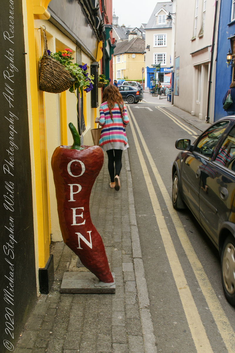
A mysterious chili pepper and hidden watchers

The fourth of a series of idiosyncratic posts from a walking tour of Kinsale by Dermot Ryan. My Sony Alpha 700 captured the events back in May 2014.

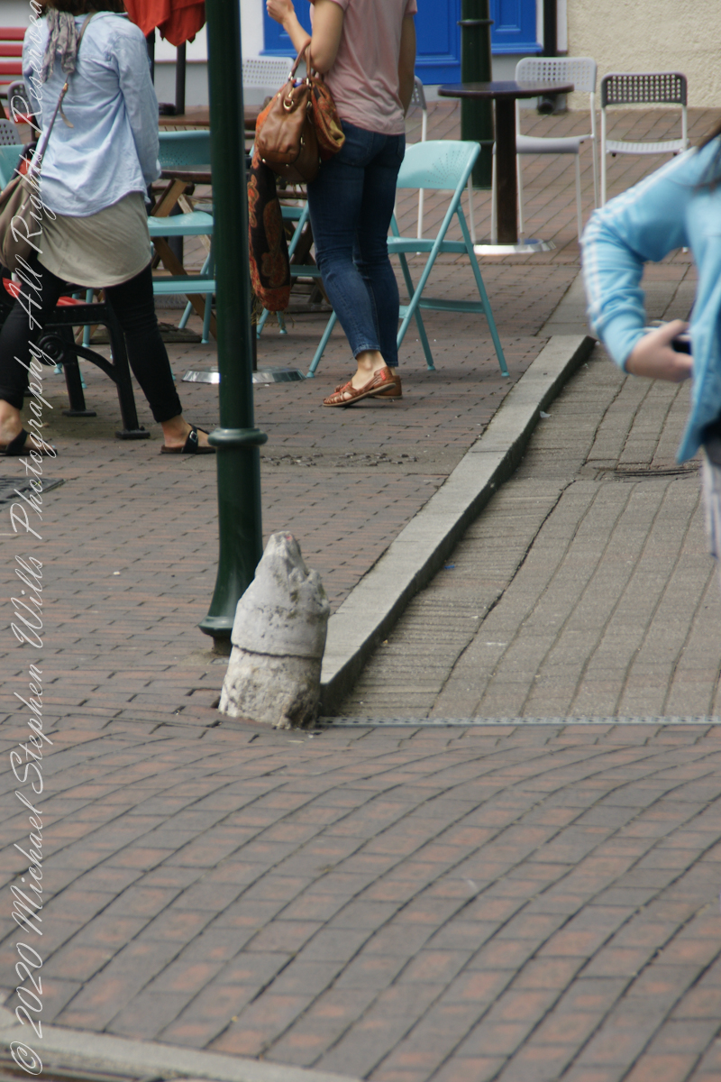
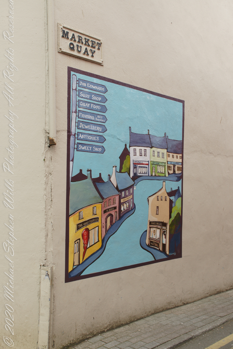
This mural on the corner wall where Market Quay meets the Market Square. I puzzled over the following photograph until I recognized the Chili Pepper from the mural.

Without Dermot Ryan’s storytelling I’d never have guessed this stub of a post was a bollard to which ships’ mooring lines were fastened. It follows the memorial bollard is close to the lane named “Market Quay.”

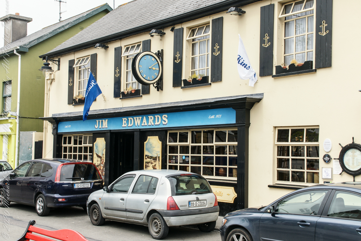
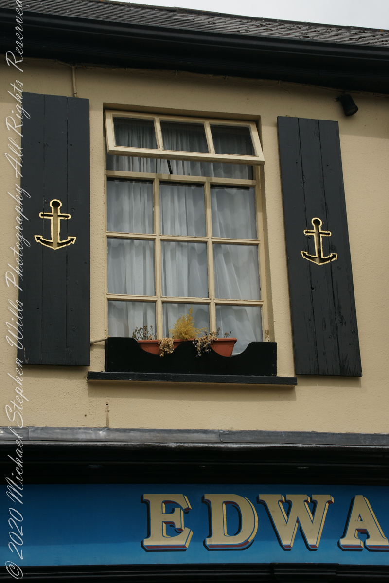
The Jim Edwards hotel and restaurant façade is a colorful and elegant element of Market Quay.

Dermot told a tale about spies, looking from windows above the square, reporting on shortcomings of citizens.

Click Me for the next post in this series.


Copyright 2022 All Rights Reserved Michael Stephen Wills

Kinsale Walking Tour 3

A story lurks….

The third of a series of idiosyncratic posts from a walking tour of Kinsale by Dermot Ryan. My Sony Alpha 700 captured the events back in May 2014.

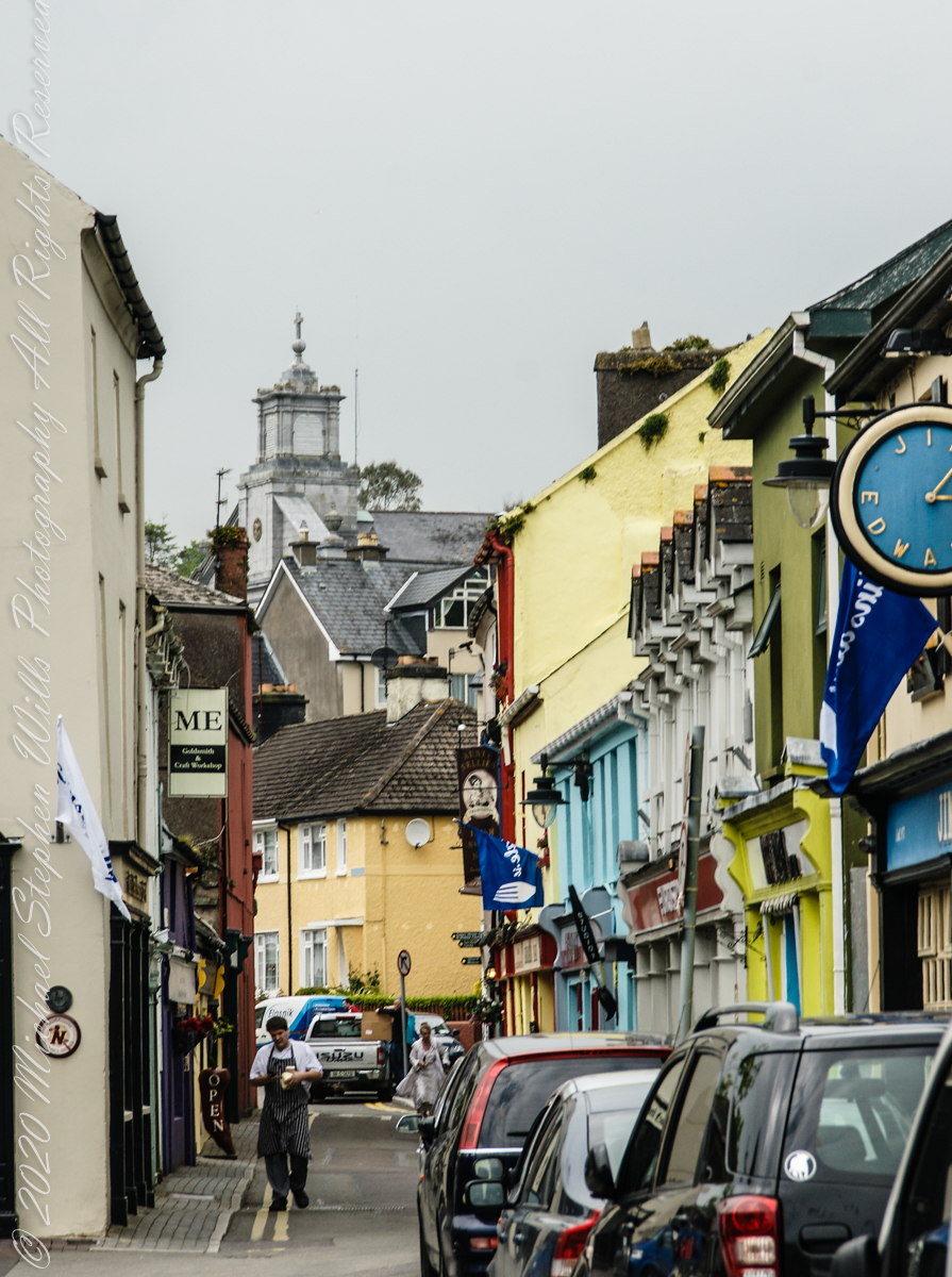
Looking northwest along Market Quay toward Saint John the Baptist Roman Catholic Church seen rising above the rest. The Jim Edwards hotel on the right. This, and the next, photographs are an interesting, or not, slice of life on Market Quay this May day: a man in a striped apron carries packaged food, ostensibly a delivery, and it probably is.

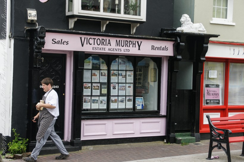
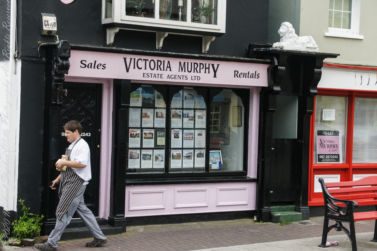
A man in striped apron carrying a delivery (…or a story plot line….) walks in front of Victoria Murphy and Daughter, Real Estate Agent, storefront on Market Quay, Kinsale, County Cork, Republic of Ireland. Notice the store to left is vacant and handled by Victoria Murphy. That store front has high turnover: was occupied 2017, vacant again 2019 (as per Google Maps).
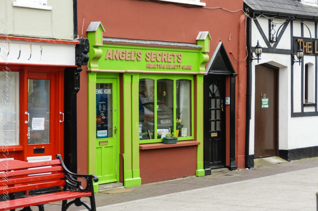
“Angle’s Secrets” storefront on Market Quay, Kins ale, County Cork, Republic of Ireland. I believe this building is owned by Victoria Murphy and Daughter Realty, the storefront second to the right. Don’t ask me how I know this as, no, I do not know it in the usual sense.

Click Me for the next post in this series.


Copyright 2022 All Rights Reserved Michael Stephen Wills

Kinsale Walking Tour 2

Sensory Disconnect

The second of a series of idiosyncratic posts from a walking tour of Kinsale. My Sony Alpha 700 captured the events back in May 2014.

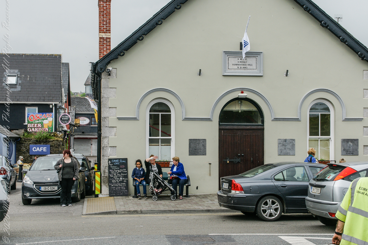
Text from the current Facebook page: The Temperance Hall is Kinsale’s example of Victorian architecture, constructed in 1885. It provides a space to facilitate those within the community and is used on a regular basis by all walks of life. Temperance Hall is space that can be rented by the community through Finishing Services which is located in the heart of Kinsale or can be contacted on 021 477 3571. The hall is run by a voluntary community committee who oversee the day to day running and maintenance of the hall. This Space is used by many groups in the town some of which are: Youth Café, Set Dancing, Bowling, Drumming Circle, Kuk Sool One, Active Retirement Tae Kwan Do, Craft Fairs, Self Defence Class, Dance, Art Exhibitions, Kinsale District Court Service, and Many Fundraising Events. This space can be used for many events on a non-commercial basis for €10 per hour and all enquirers can by made to Finishing Services on 021 4773571.

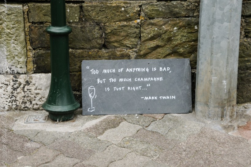
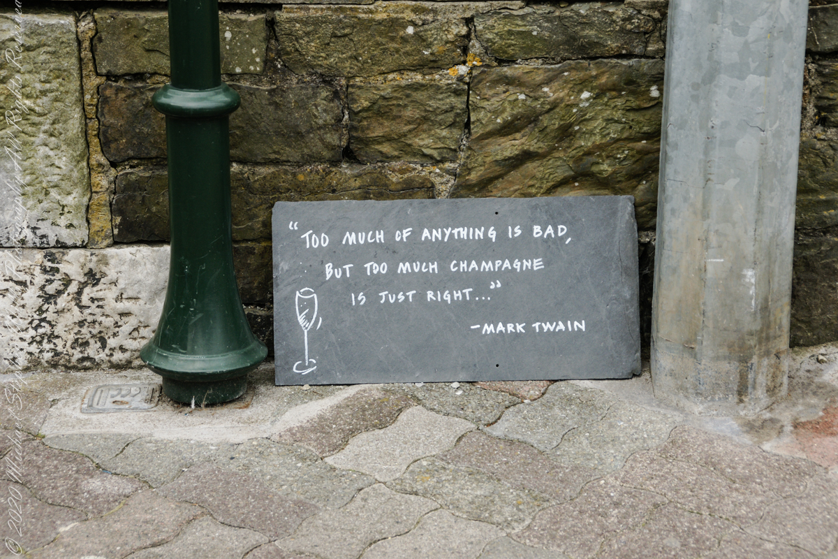
In “Dubliners,” Joyce uses sensory disconnect in evoke Gabriel’s epiphany, and effect the writing of this sign, quoting another writer, an American no less, near (next to…on?? Don’t recall) the Kinsale Temperance Hall.

All this is happening on Market Quay. A quay is a dock, historically ships were offloaded here.


Click Me for the next post in this series.


Copyright 2022 All Rights Reserved Michael Stephen Wills

Slievenaglogh View, east, V

Looking east

This the fifth and final of a series of landscape photographs taken from this position.

Click photograph for a larger view. To do this from WordPress Reader, you need to first click the title of this post to open a new page.

The peak is named, in the English language, Slievenaglogh. It is so strange as it’s not English, being instead a transliteration of the Irish name “Sliabh na gCloch.” This is “Rock Mountain” translated literally. Slievenaglogh is carried to the townland, a long thin swath of land being the peak and associated ridge-line.

The rocks up there are called “gabbro,” a type of magma slowly cooled under ground. Slievenaglog, Slieve Foy across the valley, and the Morne mountains all formed within volcano magma chamber(s) of the Paleocene, 66 million years ago, a time associated with extensive volcanism and the Cretaceous–Paleogene extinction event that gave rise to the current age.

Our younger cousin has been up there, optimistically we left it for a later trip.

Click for another interesting post and story from County Louth.

Here is a slide show of this landscape series.

A link with interesting reading on County Lo uth geology.

Copyright 2022 All Rights Reserved Michael Stephen Wills

Slievenaglogh View, northeast, IV

View of Slieve Foy

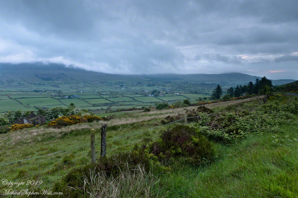
This the fourth of a series of landscape photographs taken from this position.

Click photograph for a larger view. To do this from WordPress Reader, you need to first click the title of this post to open a new page.

The distant ridge, Slieve Foy, is the site of a mythic battle from the epic “The Cattle Raid of Cooley” (Irish: Táin Bó Cúailnge).

Pam and I did a circuit of the island, returning to the home of my Mom’s first cousin. Our last full day on Ireland a cousin took us on the Tain Trail, over Maeve’s Gap of Slieve Foy and into Carlingford town.

Our route is partly visible to the right of the ridge, hidden in low clouds.

Click for another interesting post and story from the Cooley Peninsula.

Here is a slide show of this landscape series.

Copyright 2022 All Rights Reserved Michael Stephen Wills

Slievenaglogh View, northeast, II & III

Rural Scenery

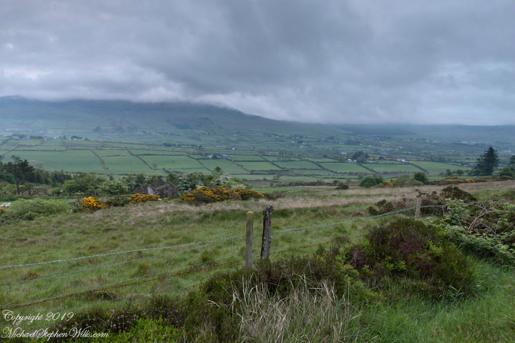
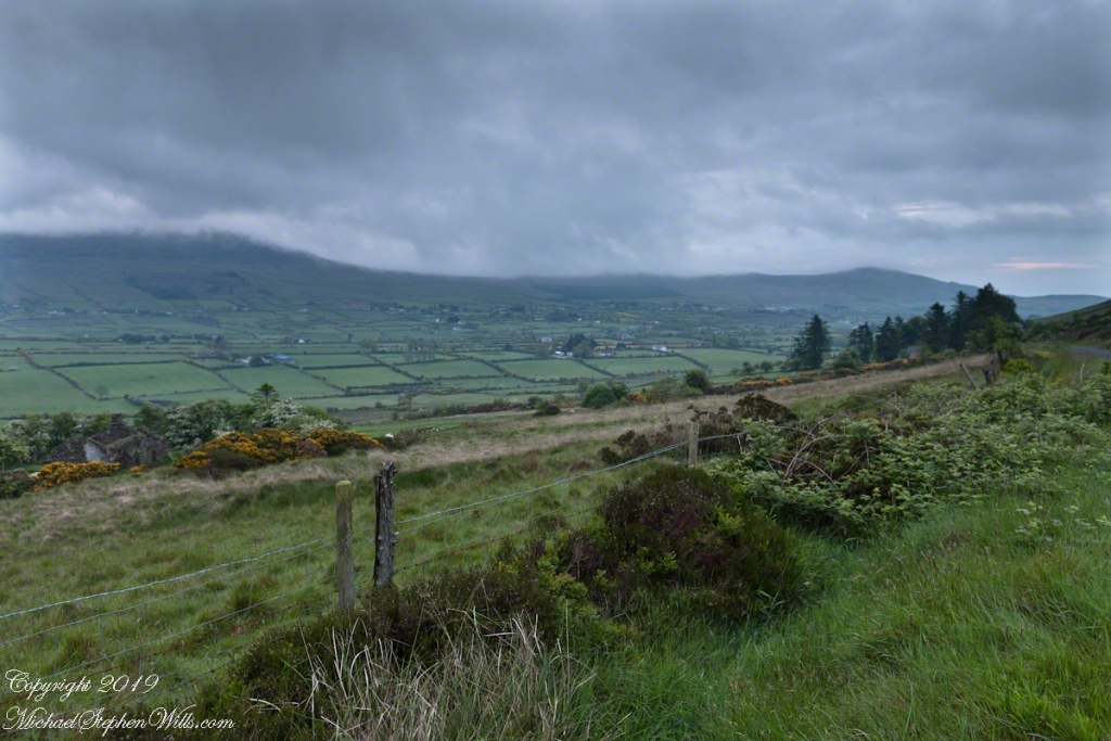
These are the second and third of a series of landscape photographs taken from this position. See the previous post for the first.

Click photograph for a larger view. To do this from WordPress Reader, you need to first click the title of this post to open a new page.

I visited here early morning of the Monday Pam and I embarked on a trip around the island of Ireland.

Arrived the previous Saturday when, after some sites between Dublin airport and the Cooley Peninsula, we met my Mom’s first cousin who had invited us for a visit. We had a grand time meeting them.

The ruin in this view is on the slopes of the peak. Some of these ruins are former homes with the replacement nearby. This appears to be an abandoned farm.

Click Me for the first post of this series.

Click me for the next post of this series.

Copyright 2022 All Rights Reserved Michael Stephen Wills

Slievenaglogh View, northeast I

It goes on and on and on

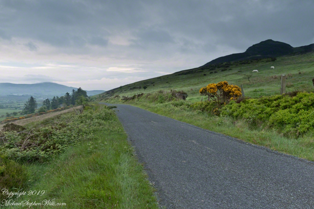
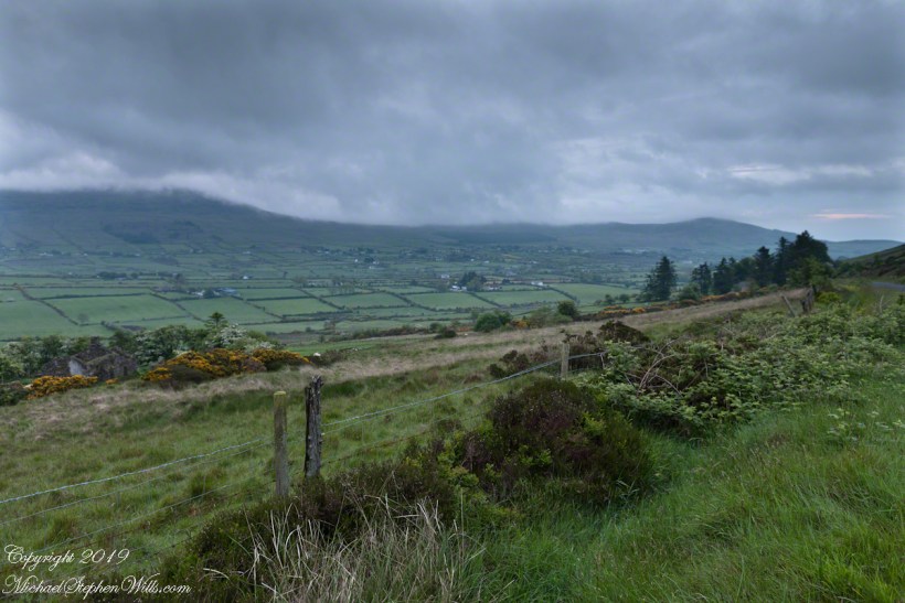
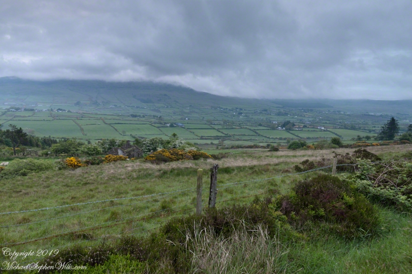
Slievenaglogh is the name of a peak on the Cooley Peninsula of County Louth, Ireland near to the birthplace of my Mom, Proleek, a few townlands to the west.

Click photograph for a larger view. To do this from WordPress Reader, you need to first click the title of this post to open a new page.

On the northeast slope of Slievenaglogh peak (Irish: Sliabh na gCloch) on the road from Mullaghattin Townland to Riverstown.

Here we look northeast from the Slievenaglogh Townland, the valley between Slieve Foy and Slievenaglogh peaks.

The view includes Little River, Ballycoly Townland and Castletown River.

Adjacent is a sheep pasture with a farm ruin behind the yellow flowered gorse (whin bush, scientific name Ulex).

Slieve Foy is the far ridge lost in clouds. Early morning, late May 2014.

Click for an interesting post and story from the Cooley Peninsula.

Copyright 2022 All Rights Reserved Michael Stephen Wills

Introduction to the Loughan an Lochan Ruins

Romance of Ruins

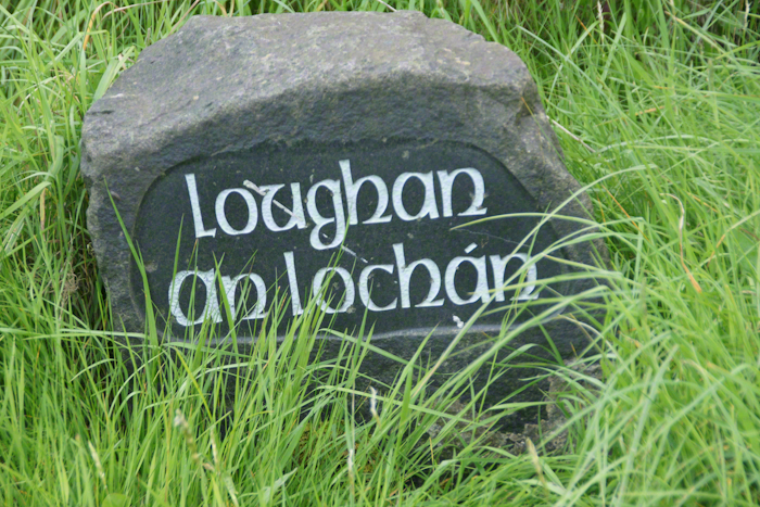
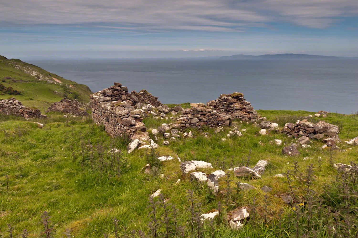
Here is a photograph from our day touring the Glens of Antrim.  While making our way up the coast to Torr Head a group of stone walls resolved into ruins. A cluster of cottages on grassy slopes above the Irish sea above Loughan Bay.  This is the townland of Loughan.  Along the road are wonderful signs providing in handsome carved letters the place name in english and gaelic.  Here a signed only provided a gaelic name: “Loughan an Lochan”…near enough to meaning “Loughan Bay” in English.  The bay is a shallow scallop shaped indentation of the coast, a margin of narrow sand strand.

Ruins are spread across the slope.  Immediately before the views are traces of a foundation above the grass.  Beyond the top of a gable, an entire gable to the left.  On the far ridge, just visible, is an entire structure with doorways, gables, walls.

Across the Irish Sea, 13 miles distant, is the Mull of Kintyre.  In faint outline, rising above the horizon, find the highlands of Islay more than 30 miles.  Both are tips of peninsulas jutting from Scotland.

Click pic for larger view in a new browser tab. If you are in WordPress Reader, open the post to use this feature.

The ruins lead to curiosity over who live here?  What were their lives like?  Why did they leave?

Want more? Click the link for my Ireland Gallery

Enter your email to receive notification of future postings. I will not sell or share your email address.

Island Shrine

part of the Irish landscape

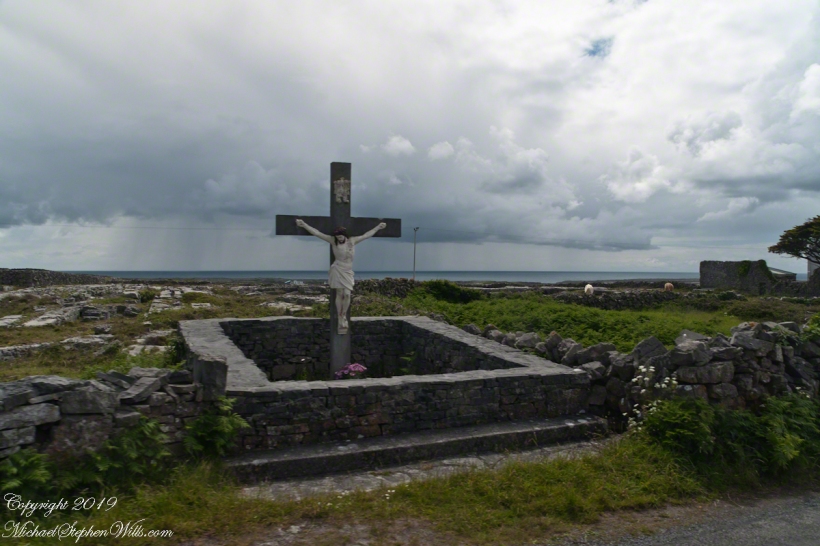
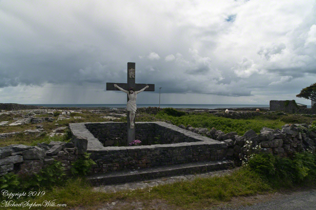
A roadside shrine on Cottage Road, Inishmore. The faith brought by the saints has deep roots here.

A large crucifix set with wet stone walls with cut flowers. The walls are the native limestone.

It is a spring (early June) afternoon and there are fern and wildflowers. The white flowers are Greater Burnet saxifrage (Scientific Name: Pimpinella major).

Click Me for Getty IStock photography of the Aran Islands

The existing dry stone wall was interrupted by the shrine. In the distance are dry stone walls around fields, a stone shed, feeding horses and the sea, being Galway Bay, storm clouds with distant rain.

Aran Islands, County Galway, Ireland.

Click me for the first post of this series, “Horse Trap on Inishmore.”

References: search google “Wet Stone”

Copyright 2022 Michael Stephen Wills All Rights Reserved