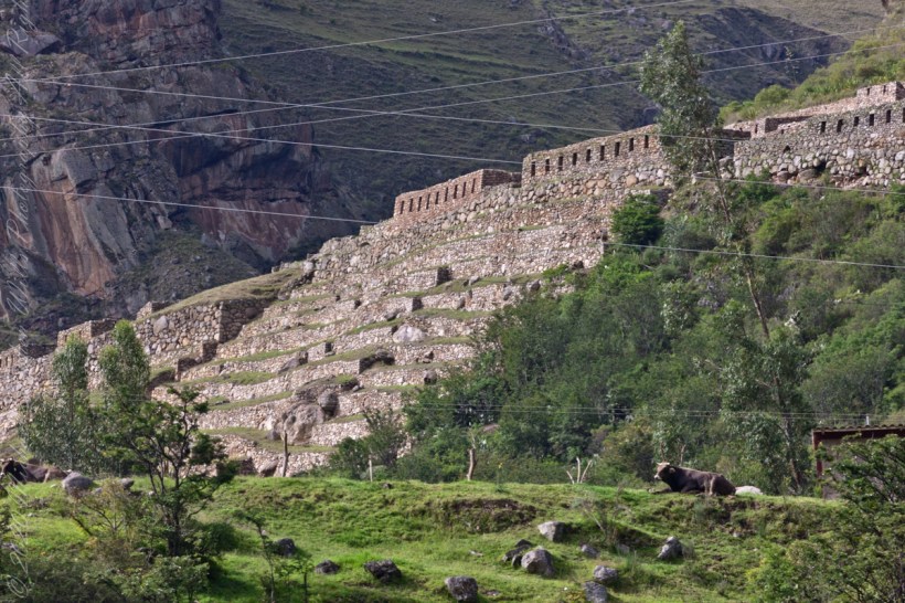
PeruRail to Machu Picchu VI

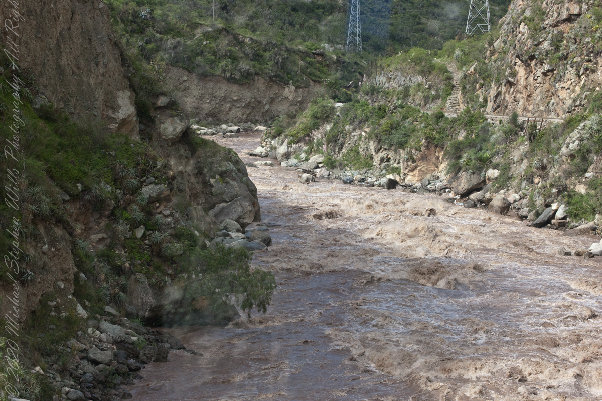
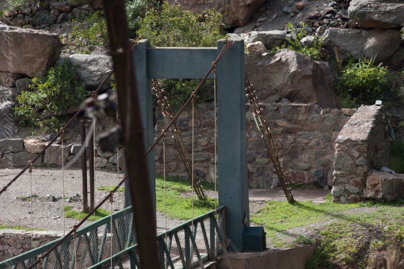
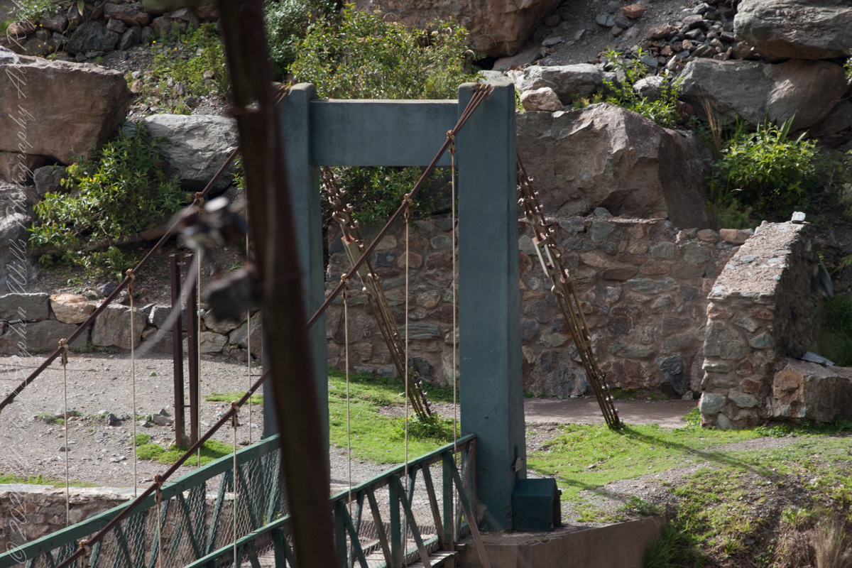
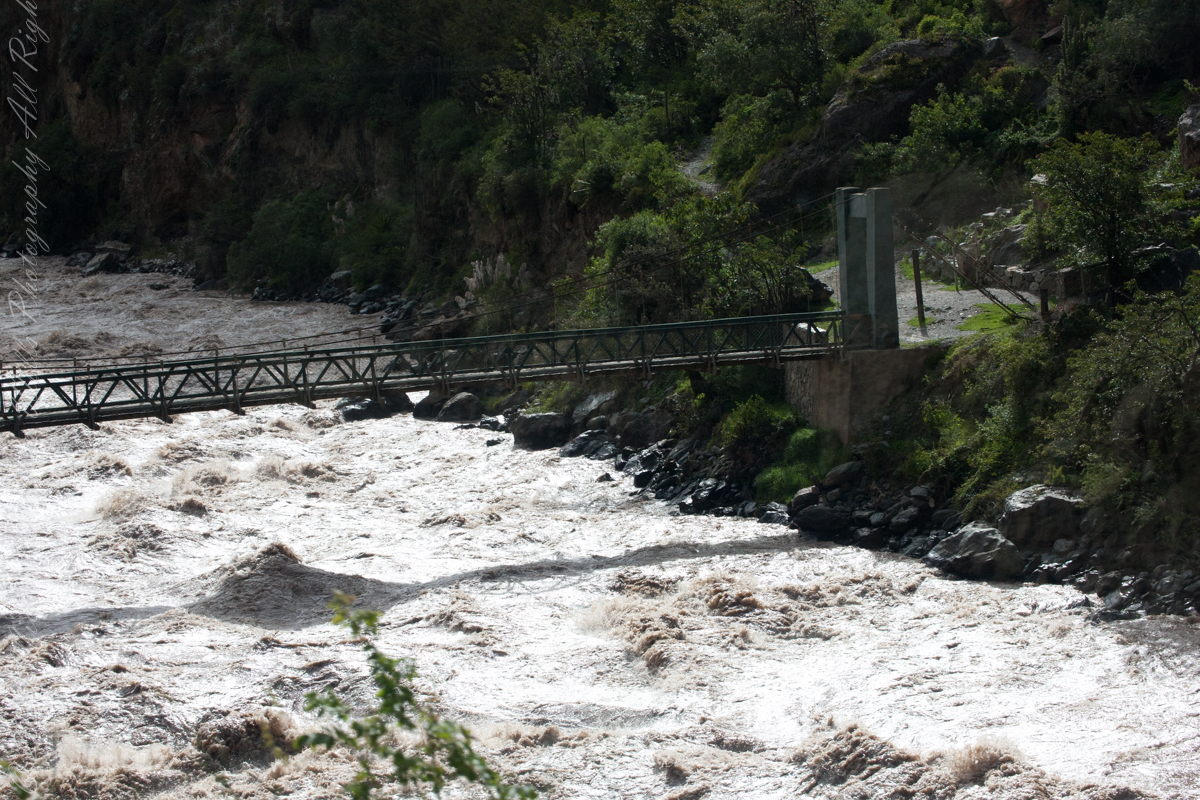
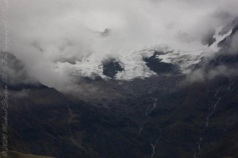
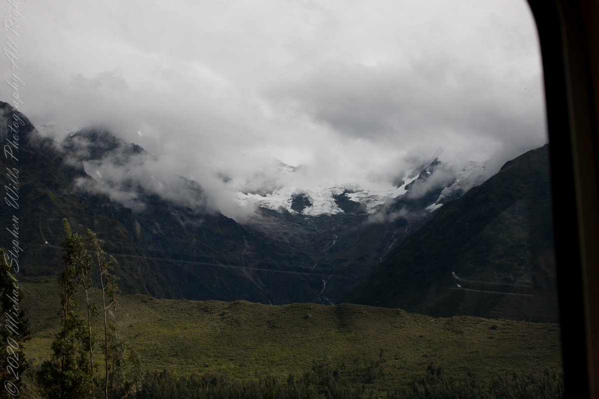
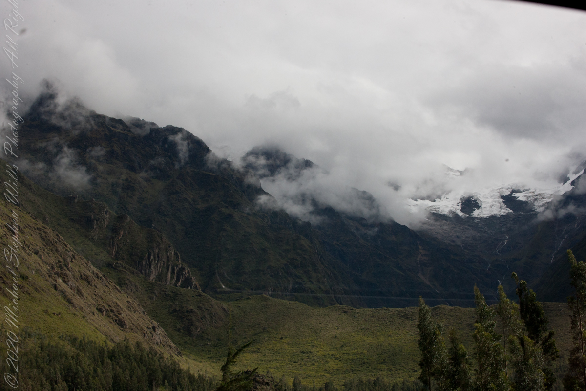
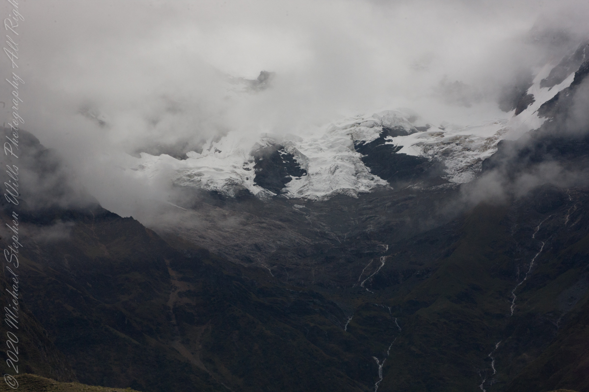
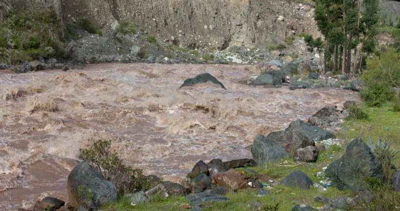
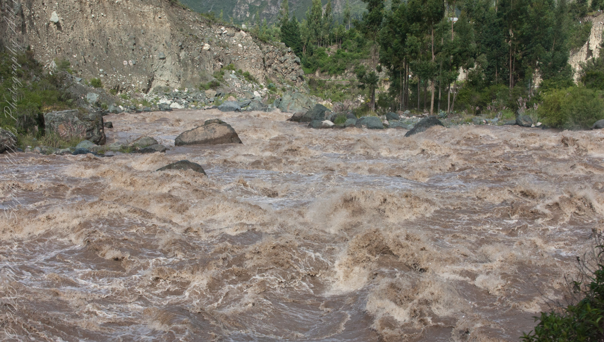
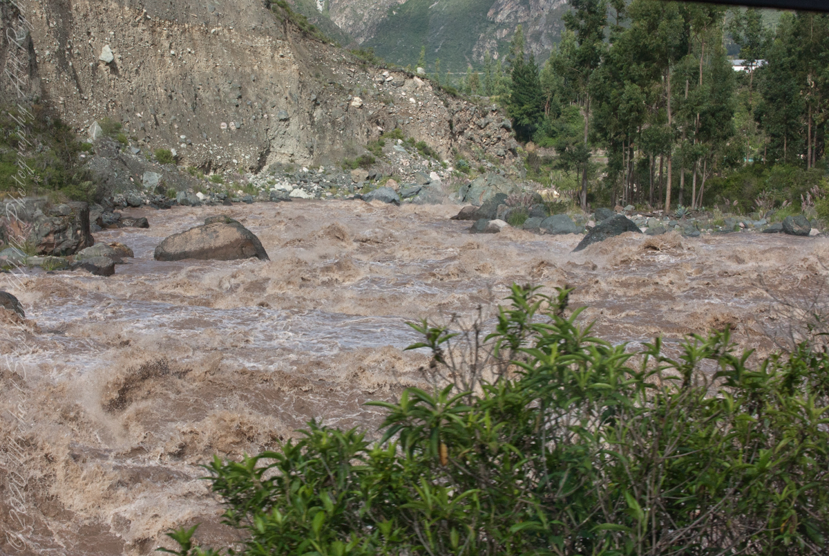
Urubamba River or Vilcamayo River (possibly from Quechua Willkamayu, for “sacred river”)

Click Me for my Online Gallery

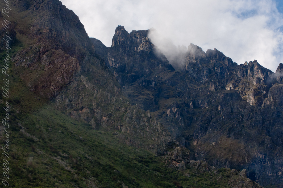
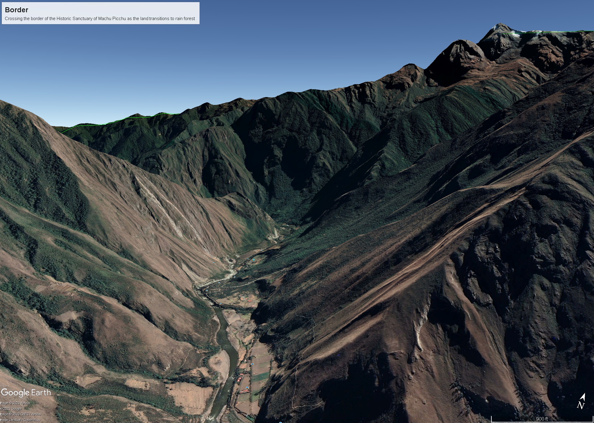
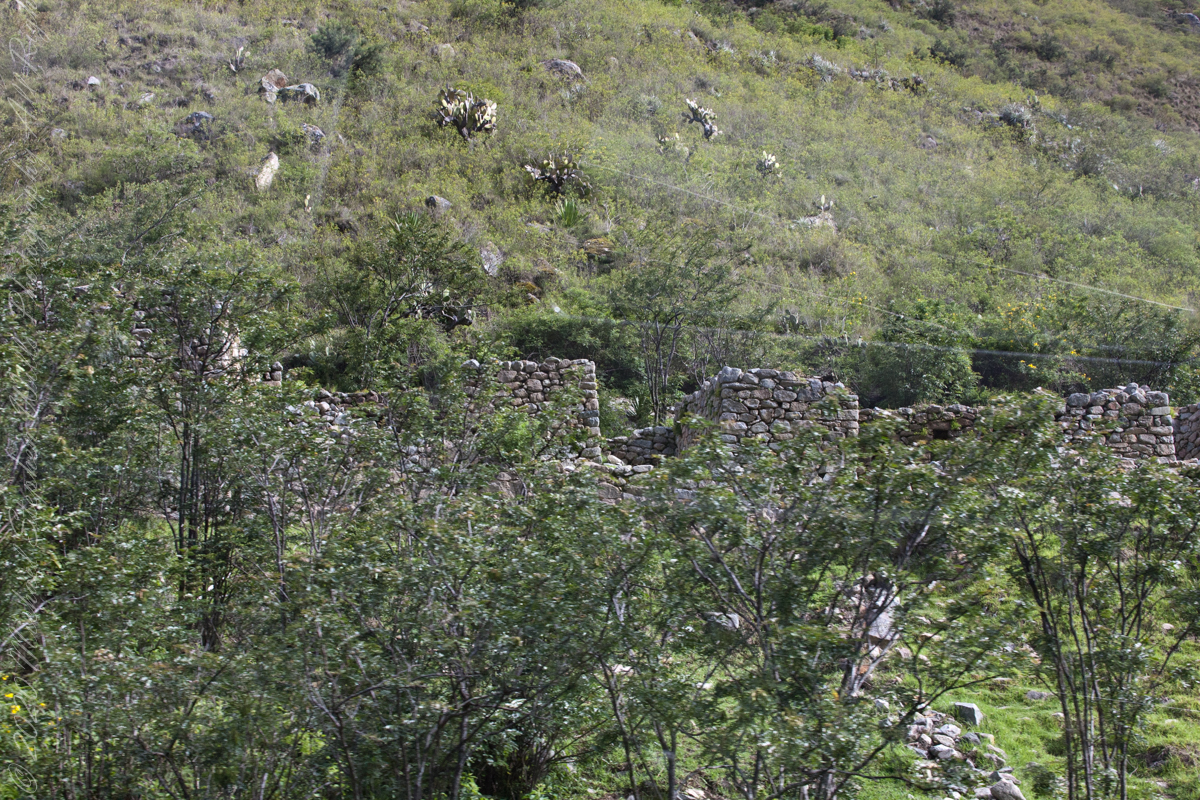
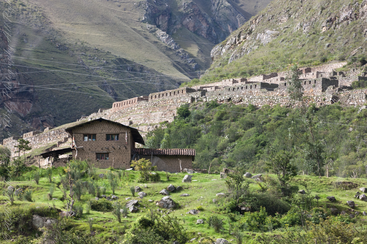
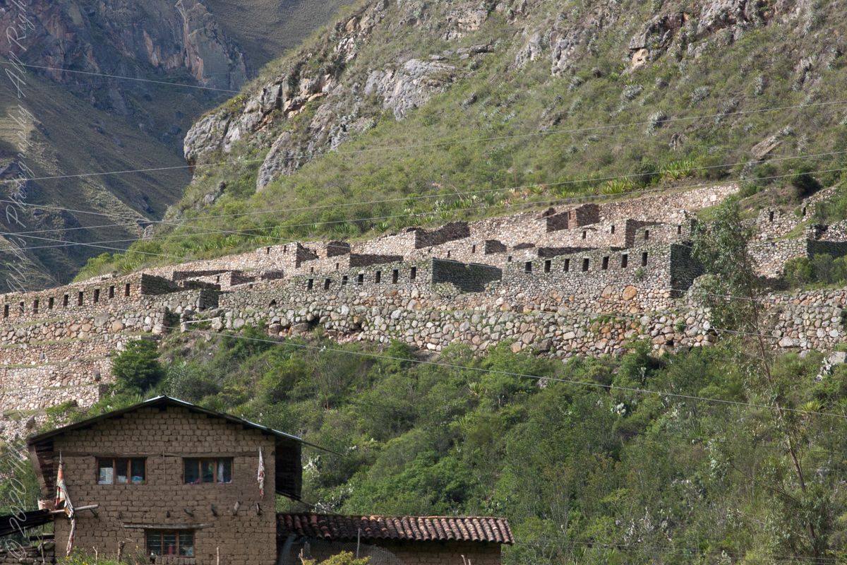
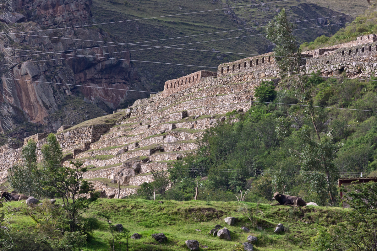
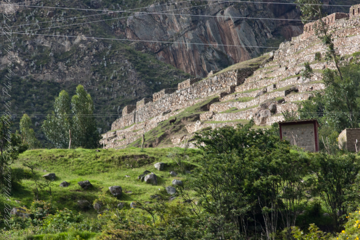
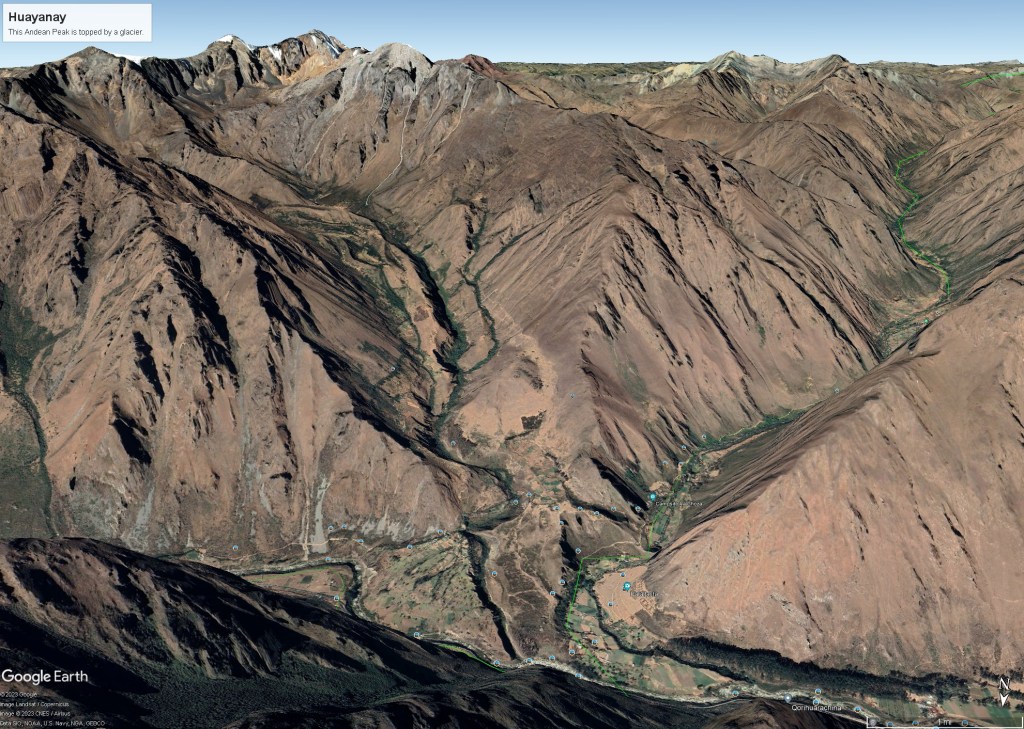
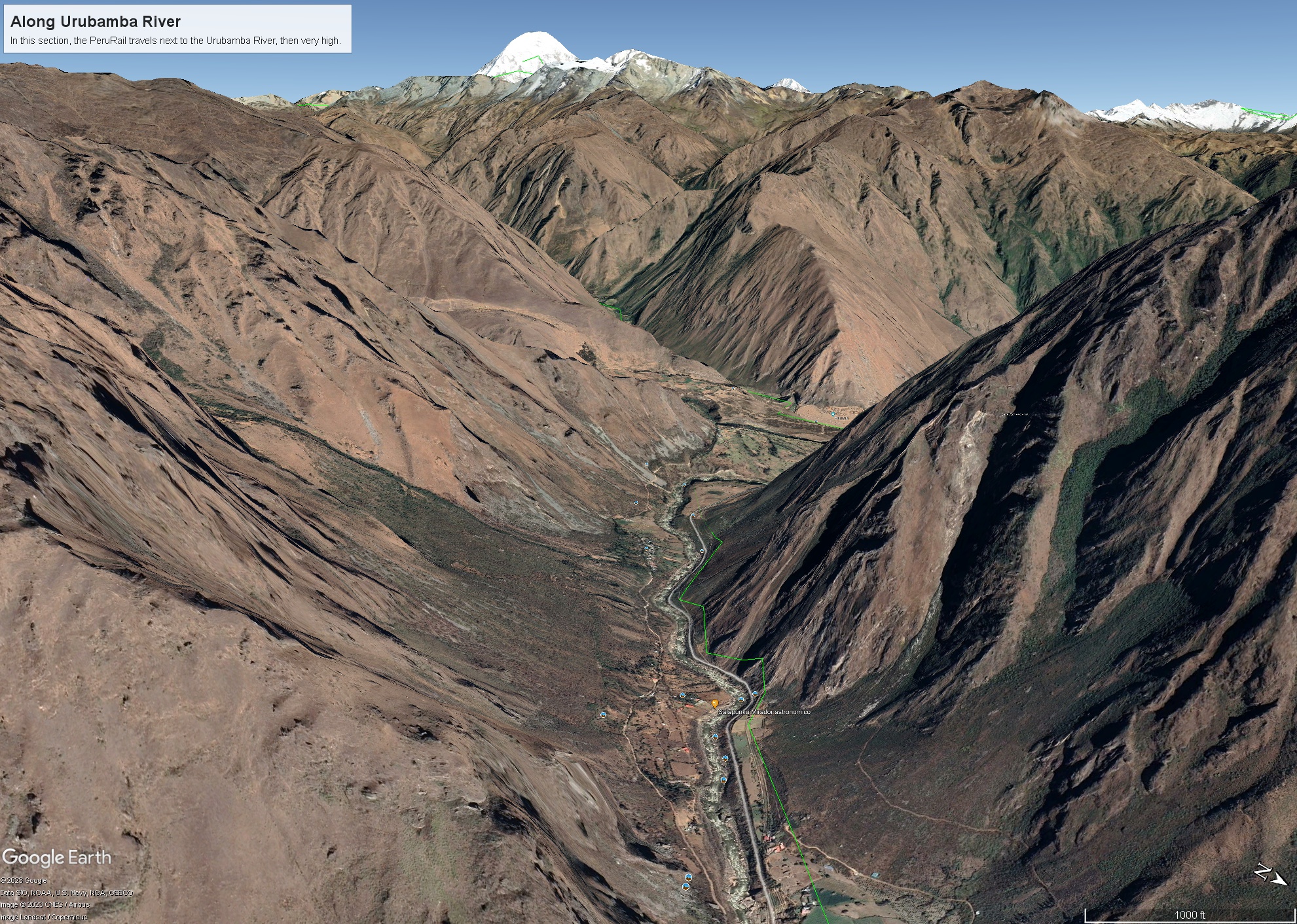
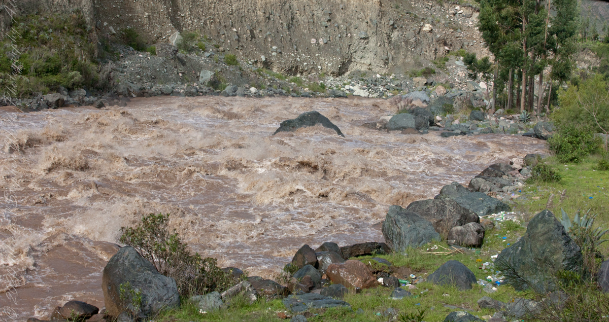
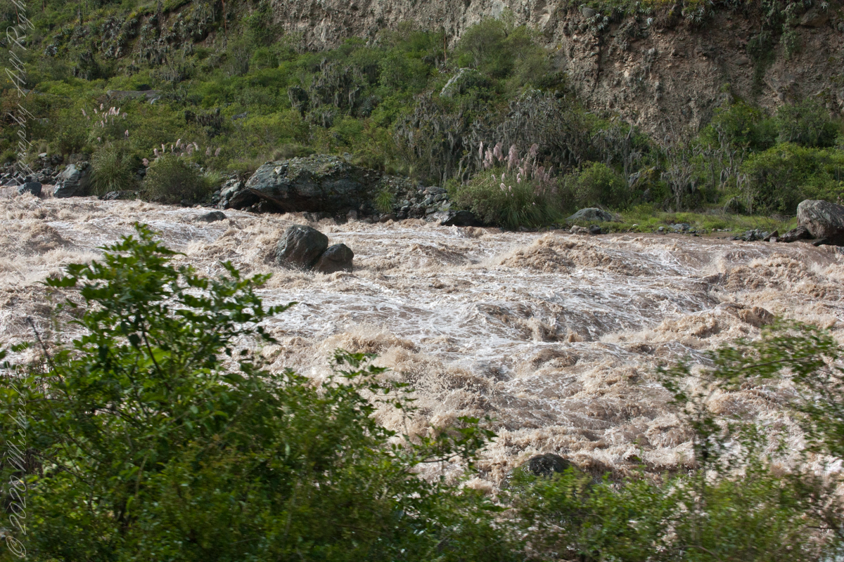
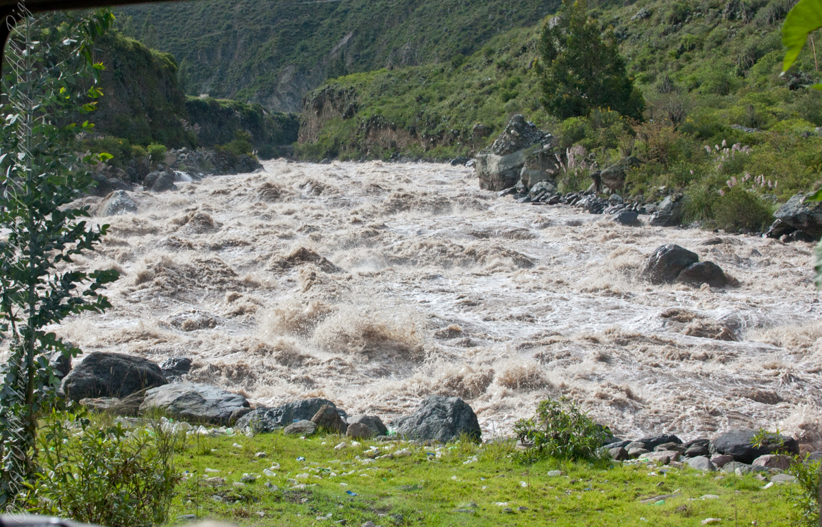
Next, PeruRail traversed a narrow valley carved by the Urubamba River. Here is an overview for our course taken from Google Earth.

Google Earth

The Urubamba River or Vilcamayo River (possibly from Quechua Willkamayu, for “sacred river”) is a river in Peru. Upstream it is called Vilcanota River (possibly from Aymara Willkanuta, for “house of the sun”). Within the La Convención Province the naming changes to Urubamba. A partially navigable headwater of the Amazon River, it rise in the Andes to the southeast of Cuzco. It originates on the slopes of Khunurana in the Puno Region, Melgar Province, near the La Raya pass. It flows north-north-west for 724 kilometers before coalescing with the Tambo River to form the Ucayali River.”

The Urubamba is divided into Upper Urubamba and Lower Urubamba, the dividing feature being the Pongo de Mainique, an infamous whitewater canyon.

The Upper Urubamba (Alto Urubamba) valley features a high population and extensive irrigation works. A number of ruins of the Inca Empire lie in the Sacred Valley, including the Incan city of Machu Picchu, Patallaqta, Pikillaqta and Raqch’i. The Salcca-Pucara hydroelectric project is associated with the river as well.

The Lower Urubamba (Bajo Urubamba) is relatively undeveloped and features a significant indigenous population consisting of the Campa tribes, principally the Machiguenga (Matsigenka) and Asháninka. The economy is based on forestry and the nearby Camisea Gas Project. The main settlement in the region is the town of Sepahua.

The lower Urubamba River was mapped for the first time in 1934 by Edward Kellog Strong III. He and two friends from Palo Alto, California, Art Post and Gain Allan John, navigated the river with its ferocious rapids by canoe and balsa rafts provided by the indigenous people. The mapping was done at the request of the Peruvian military when they heard of the expedition planned by the three 18-year-olds.”

John Walter Gregory, a British geologist, drowned in the river on June 2, 1932 while on a geological expedition to the Andes

It was turned over to the military when the boys arrived in Iquitos. It was the only map of the river until it was mapped by satellite many years later. The names and places on the latest map came from the original map drawn by Edward Strong.

Reference: Wikipedia, “Urubamba River.”

Copyright 2023 Michael Stephen Wills All Rights Reserved

Treman Millipede

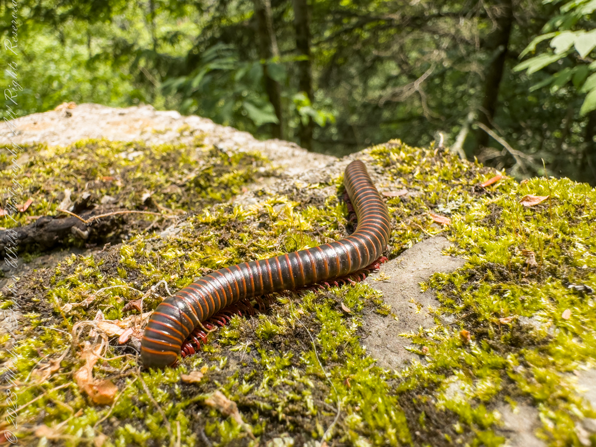
Visitors to Robert H. Treman park think nothing of crushing millipedes on the trail, it is concerning to encounter evidence of such disrespectful and boorish behavior. Here is an intact millipede I found last week. Millipedes are a group of arthropods that are characterized by having two pairs of jointed legs on most body segments; […]

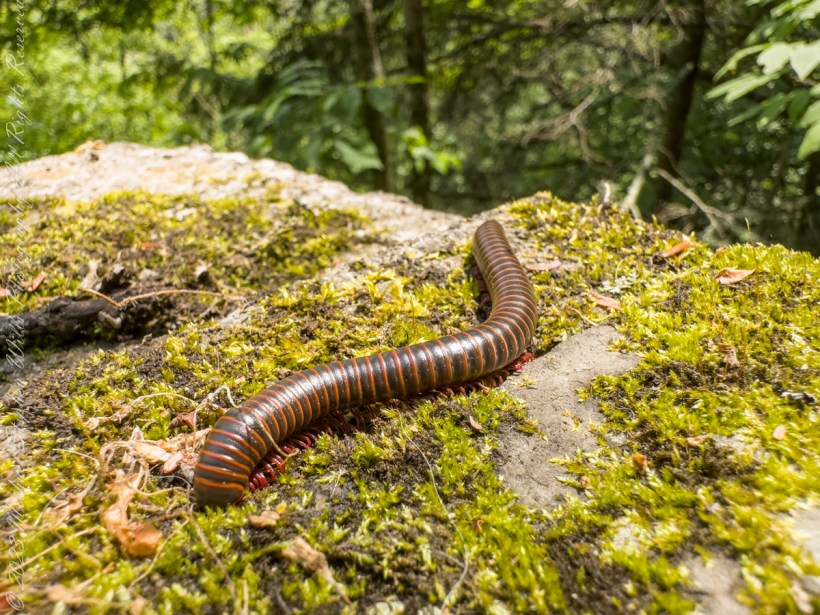
Visitors to Robert H. Treman park think nothing of crushing millipedes on the trail, it is concerning to encounter evidence of such disrespectful and boorish behavior. Here is an intact millipede I found last week.

Millipedes are a group of arthropods that are characterized by having two pairs of jointed legs on most body segments; they are known scientifically as the class Diplopoda, the name derived from this feature. Each double-legged segment is a result of two single segments fused together. Most millipedes have very elongated cylindrical or flattened bodies with more than 20 segments, while pill millipedes are shorter and can roll into a tight ball. Although the name “millipede” derives from Latin for “thousand feet”, no species was known to have 1,000 or more until the discovery of Eumillipes persephone, which can have over 1,300 legs.

There are approximately 12,000 named species classified into 16 orders and around 140 families, making Diplopoda the largest class of myriapods, an arthropod group which also includes centipedes and other multi-legged creatures. Most millipedes are slow-moving detritivores, eating decaying leaves and other dead plant matter. Some eat fungi or drink plant fluids, and a small number are predatory.

Millipedes are generally harmless to humans, although some can become household or garden pests. Millipedes can be an unwanted nuisance particularly in greenhouses where they can potentially cause severe damage to emergent seedlings. Most millipedes defend themselves with a variety of chemicals secreted from pores along the body, although the tiny bristle millipedes are covered with tufts of detachable bristles. Its primary defense mechanism is to curl into a tight coil, thereby protecting its legs and other vital delicate areas on the body behind a hard exoskeleton. Reproduction in most species is carried out by modified male legs called gonopods, which transfer packets of sperm to females.

Millipedes are among the first animals to have colonized land during the Silurian period. Early forms probably ate mosses and primitive vascular plants. Millipedes also exhibit the earliest evidence of chemical defense, as some Devonian fossils have defensive gland openings called ozopores. Millipedes, centipedes, and other terrestrial arthropods attained very large sizes in comparison to modern species in the oxygen-rich environments of the Devonian and Carboniferous periods, and some could grow larger than one meter. As oxygen levels lowered through time, arthropods became smaller.

Most millipedes are detritivores and feed on decomposing vegetation, feces, or organic matter mixed with soil. They often play important roles in the breakdown and decomposition of plant litter: estimates of consumption rates for individual species range from 1 to 11 percent of all leaf litter, depending on species and region, and collectively millipedes may consume nearly all the leaf litter in a region. The leaf litter is fragmented in the millipede gut and excreted as pellets of leaf fragments, algae, fungi, and bacteria, which facilitates decomposition by the microorganisms.

Reference: “Millipede” Wikipedia

Copyright 2023 All Rights Reserved Michael Stephen Wills

Visiting a Bog

Chicago Bog, part of Lime Hollow Nature Center

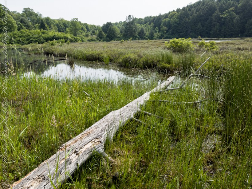
The grandchildren and I hiked the 0.6 mile trail through old growth forest to visit a bog. In the 1830’s there was a village named Chicago along Gracie Road, which gives it the name we have today. The Chicago Bog is home to many carnivorous plants, including sundew, the pitcher plant, and more. The deepest depth of the bog is about 7.2 ft. The bog is along the Phillips Memorial Trail, which can be found on Gracie Road. Lime Hollow Nature Center, Cortland, New York.

Listen to the Wood Thrush and other bird song in this short video.

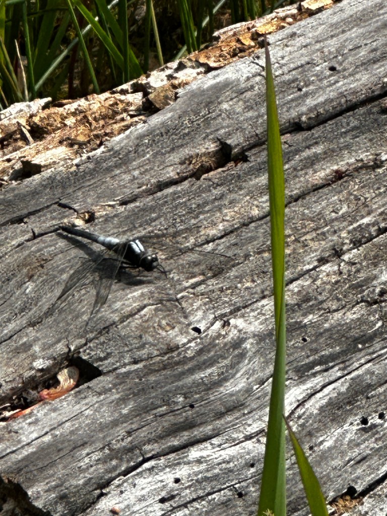
A dragonfly landed on the log, in the above images, lying at my feet. This male Chalk-fronted Corporal (Ladona julia) is a skimmer dragonfly found in the northern United States and southern Canada.

Chalk-fronted corporal dragonfly

Juveniles of both sexes are light reddish brown, with white shoulder stripes and a black stripe down the middle of the abdomen. As they mature, males develop a white pruinescence on the top of the thorax and at the base of the abdomen, while the rest of the abdomen turns black. Females become almost uniformly dark brown, with a dusting of gray pruinescence near the base of the abdomen; a few develop the same color pattern as the males.

Chalk-fronted corporals often perch horizontally on the ground or on floating objects in the water as you can see it doing here. They are gregarious for dragonflies and are commonly seen perching in groups. They readily approach humans to feed on the mosquitoes and biting flies that humans attract.

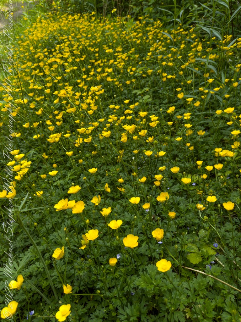
We noticed a large patch of buttercups growing in a sunny patch along the trail. Petals of these buttercups are highly lustrous owing to a special coloration mechanism: the petal’s upper surface is very smooth causing a mirror-like reflection. The flash aids in attracting pollinating insects and temperature regulation of the flower’s reproductive organs.
Click me for “Celestial Geese with two haiku by Issa”.

Copyright 2023 Michael Stephen Wills All Rights Reserved

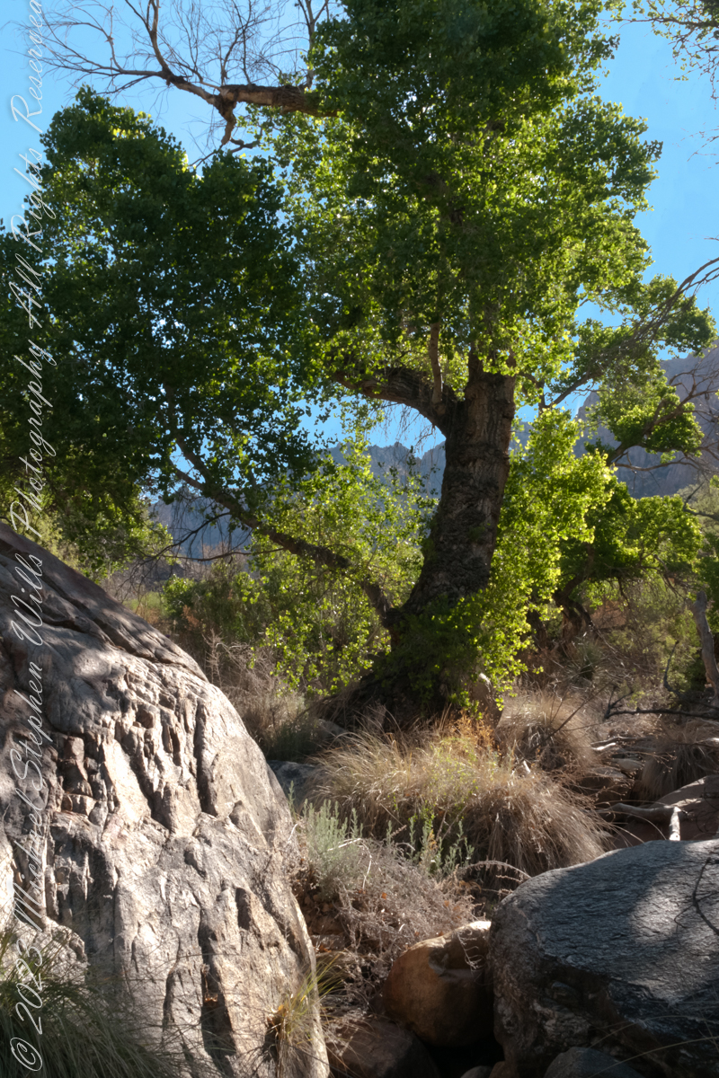
Cottonwood Shade in Pima Canyon

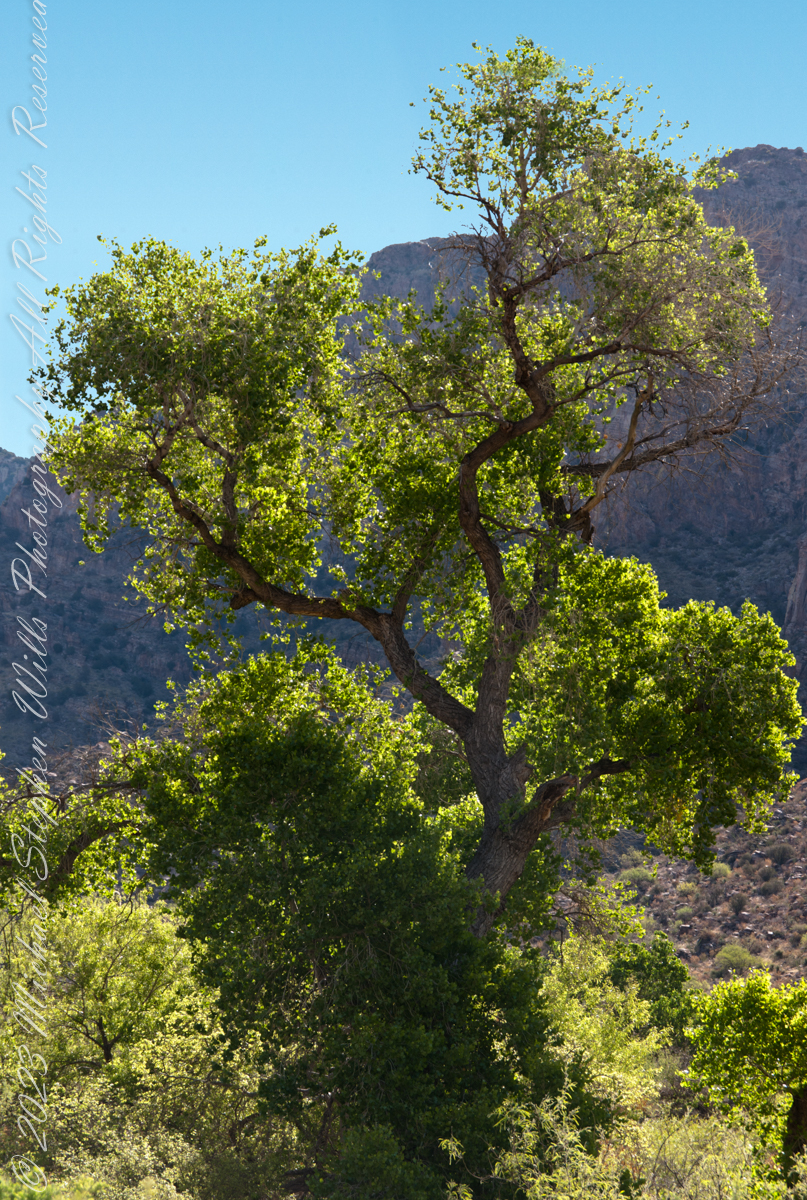
The cottonwood’s deep roots draw water from a mountain stream.

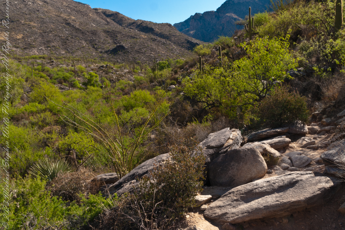
Looking back down Pima Canyon on a spring morning plenty of green under the unrelenting sun.

Click me for more Arizona photographs from my online gallery

A large Fremont’s Cottonwood Offers shade and protection along the Pima Canyon Trail.

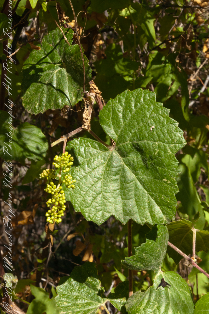
In the shade, a grapevine, offers a vain promise of grapes.
The cottonwood’s deep roots draw water from a mountain stream.
Native Americans in the Western United States and Mexico used parts of Frémont’s cottonwood variously for a medicine, in basket weaving, for tool making, and for musical instruments. The inner bark of Frémont’s cottonwood contains vitamin C and was chewed as an antiscorbutic – treatment for vitamin C deficiency. The bark and leaves could be used to make poultices to reduce inflammation or to treat wounds.

The Pima people of southern Arizona and northern Mexico lived along Sonoran Desert watercourses and used twigs from the tree in the fine and intricate baskets they wove. The Cahuilla people of southern California used the tree’s wood for tool making, the Pueblo peoples for drums, and the Lower Colorado River Quechan people in ritual cremations. The Hopi of Northeastern Arizona carve the root of the cottonwood to create kachina dolls.

Reference: Wikipedia “Fremont’s Cottonwood.”

Copyright 2023 Michael Stephen Wills

Abstracts: desert light and water

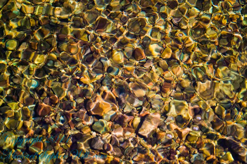
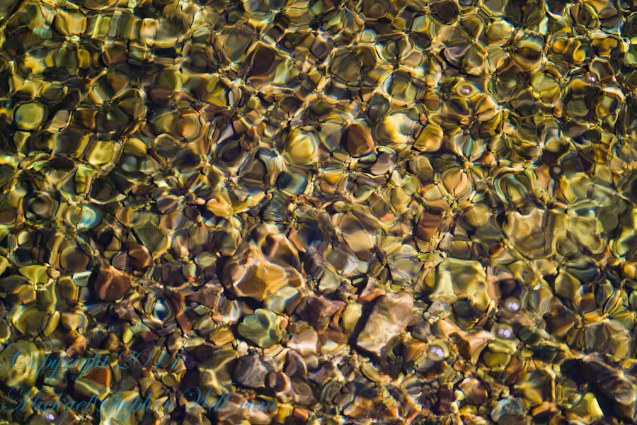
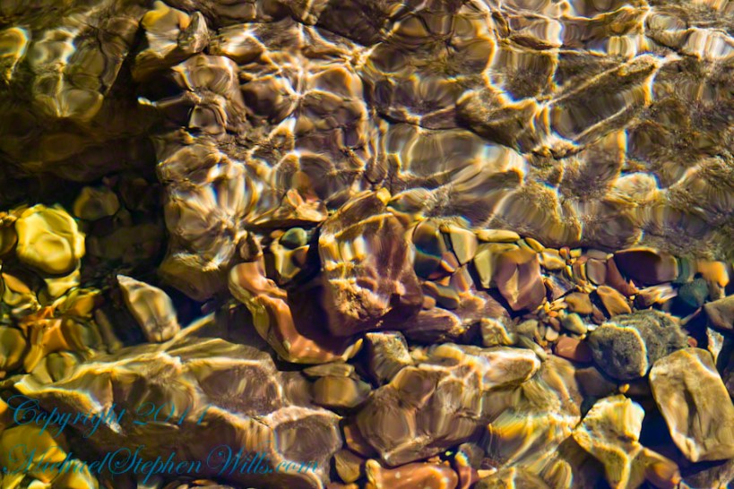
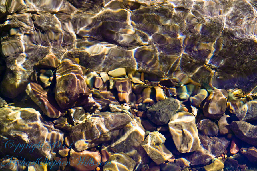
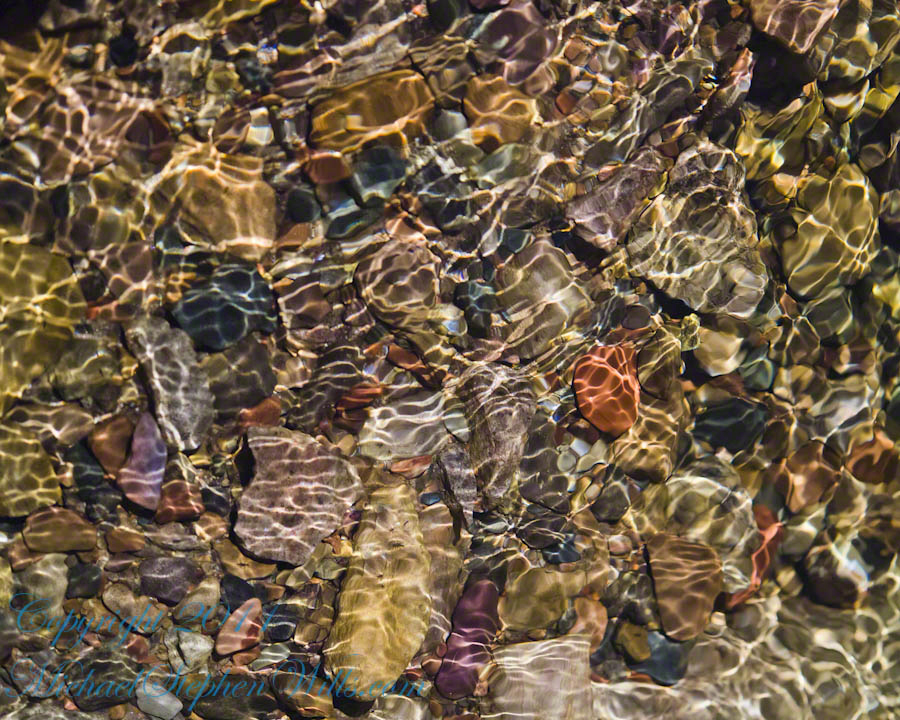
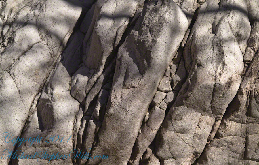
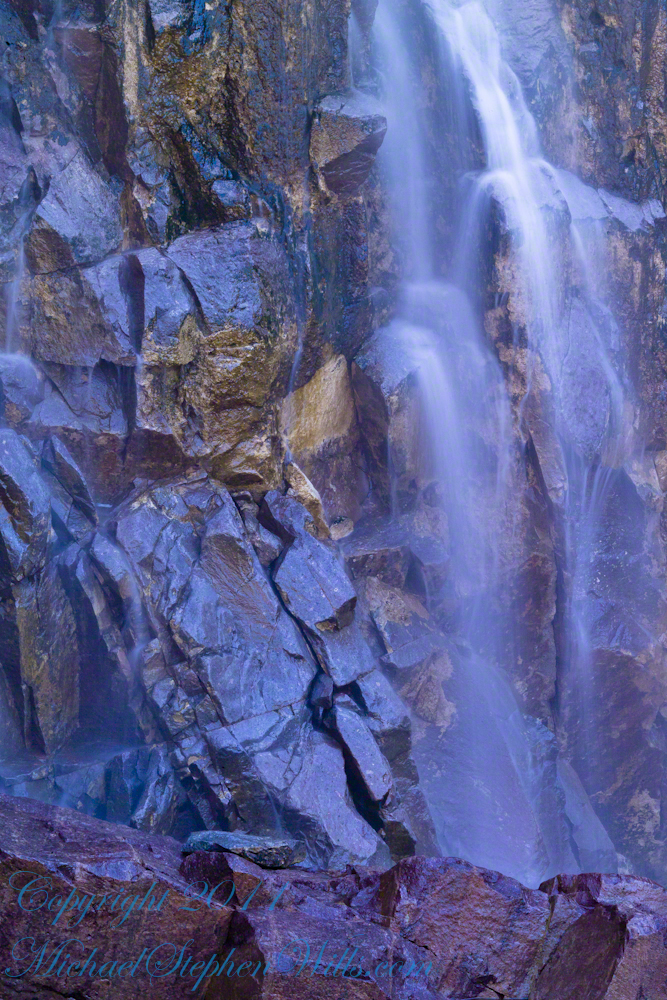
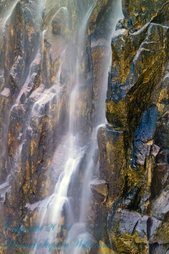
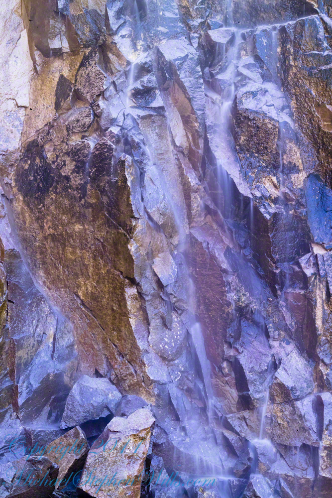
A Series of Nature Abstracts, macros of Reavis Creek below the falls

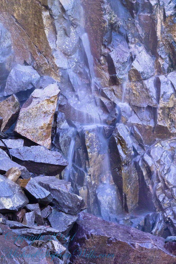
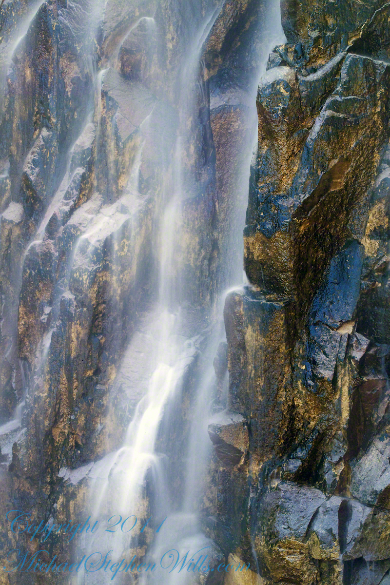
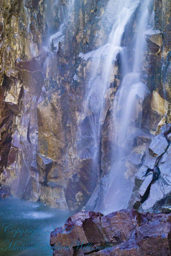
These four shots are of afternoon desert light playing on limpid water flowing over colorful rocks.

All are macro shots of the falls taken with a Canon 100mm f/2.8L lens.

From my solo expedition to this location in the remote eastern Superstition Wilderness of Arizona.

CLICK ME to learn more about my work and to purchase prints.

I chose portions of Reavis Creek stream bed carefully

The time of day was essential. This was late afternoon and before the sun disappeared behind the canyon walls.

Not all sections of the stream bed were suitable. I chose elements of strong compositions.

Variation between the shots is essential for holding the viewers attention.

Click Me to visit my previous post, “Canyoneering to Reavis Falls” for more of this story.

Copyright 2023 Michael Stephen Wills All Rights Reserved

Transcendent Beauty

Water and Shadows


The canyon below 110 foot Reavis Falls is a wild place of transcendent beauty.

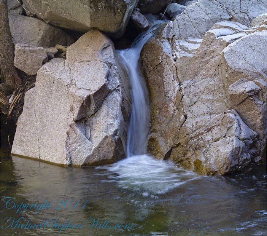
With the afternoon in front of me, the trip back to camp was a slow pleasure. On the way in, I noted several stopping points to capture photographs. Here a natural rock sluice offers a foot tall waterfall, mirroring Reavis Falls, bracketed by white igneous stone.

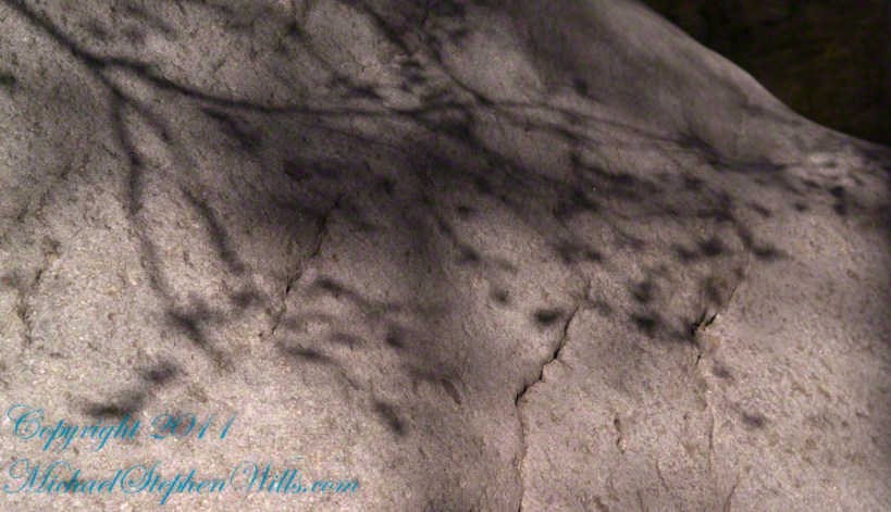
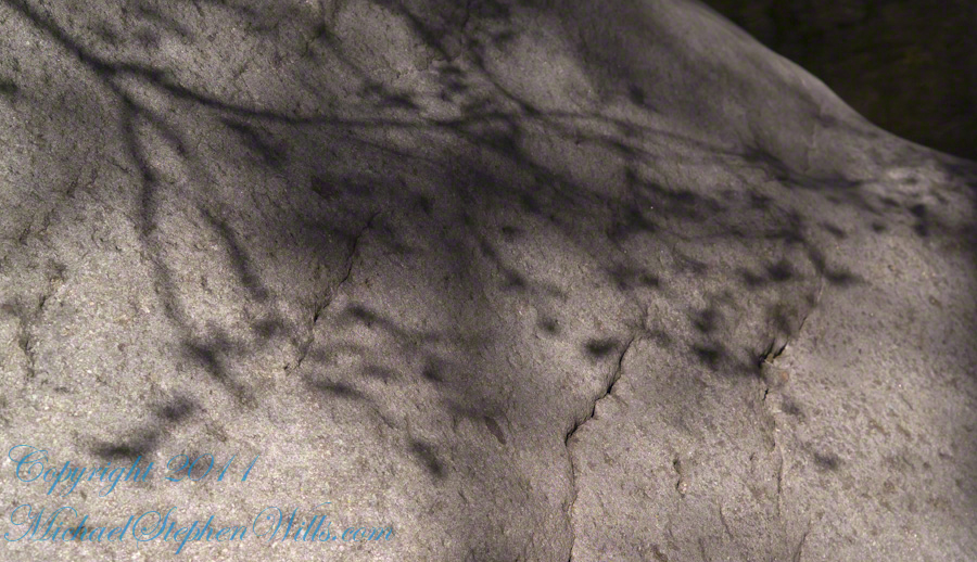
This same stone offers a screen, the bright spring sun throwing the sparse leaves into sharp relief.

Click Me to visit my previous post, “Canyoneering to Reavis Falls” for more of this story.

Copyright 2023 Michael Stephen Wills All Rights Reserved

Nature Abstracts from Reavis Falls

Basalt and Water

A Series of Nature Abstracts, macros of Reavis Falls

These are six shots of Reavis Falls from my solo expedition to this location in the remote eastern Superstition Wilderness of Arizona.

All are macro shots of the falls taken with a Canon 100mm f/2.8L lens.

“Reavis Falls Abstract V”

I took these while perched on a pile of talus beneath the falls.

Click Me To learn more about my work and to purchase prints

Reavis Falls Abstract XIV

Reavis Falls are 114 feet high in a canyon hidden in the folds of mountain ridges in the remote eastern Superstition Wilderness of Arizona.

Reavis Falls Abstract VI

Reavis Creek falls from a sheer basalt cliff, remnants of a volcanic eruption, cool a million years ago, a little colder today by this running water.

Reavis Falls Abstract VIII

Reavis Falls Abstract XI

Reavis Falls Abstract XV

Click Me to visit my previous post, “Canyoneering to Reavis Falls” for more of this story.

Copyright 2023 Michael Stephen Wills All Rights Reserved

Canyoneering to Reavis Falls

No signposts in the wilderness

Reaching Reavis Falls, once you find the canyon mouth, is three-fourths of a mile of boulder hopping and bushwacking over and around landslides, deep pools and fallen trees.  Odds are you will be the only person in the canyon for weeks, if not months.  Expect to be surprised. In this chapter you will (finally) visit the falls themselves.

A Camp in the Canyon

Click me for the chapter about the environment around the mouth of Reavis Canyon below the falls.

The Last Mile

Here is an overview of the last third mile of Reavis Canyon.  You can see the wall of the falls nestled in the folds of ridges towards the top, just off center.

On the lower right is a large landslide and, below there, it is complete chaos.

The vegetation grows shoulder to shoulder with interleaved branches.  You will not get through there.  The solution is to find a way around, usually over and around house-sized boulders.

The image was captured from Google Earth


After almost two hours of picking my way, there was a flicker of light.  The fall waters were sparkling in the sunlight high above the cottonwood trees, in full Mach bloom, and the still leafless Arizona Sycamores.

This was my view of Reavis Falls from the canyon on a March day before the Arizona Sycamores have leaved. The falls are the tiny patch of white to the left of midline where the earth meets the sky. Jumbles of infallen boulders and thick growth of sycamores, oaks and fully leaved cottonwoods cloak the falls.

Another 30 minutes of canyoneering brought me to the foot of the falls.

At the Foot of Reavis Falls

Looking up at Reavis Falls from a 20 foot tall mound of talus.

These are boulders  washed down at flood time.

The rock wall is thick with microorganisms, fungi and mosses.

After clambering around the talus pile I found this angle….

An Arizona Sycamore, before the spring leafing, at the Foot of Reavis Falls

Talus at the Foot of Reavis Falls

The Reavis Falls talus is large boulders carried down Reavis Creek and washed over the falls at flood time as well as blocks fractured from the cliff face.  You can see the base of the Sycamore from the previous photograph.

The falls are formed where Reavis Creek flows over a solid mass of rock.  The talus is composed mostly of this red rock.  From the edge of this cliff to the base, where the falls hit the canyon floor, is all of 140 feet.  This is a far as you can proceed into the canyon without some serious climbing skills.

It is possible to climb around the canyon by climbing up the ridge from which I captured the Cedar Basin Hoodoos.  See my posts below for this location (you need to work it our for yourself).

This is NOT the last post of the series.  From here I will focus on the beauty of Reavis Falls and the canyon that holds them.

It was a four-day expedition so there are a few chapters covering the approach to the Falls:

Lime Mountain Morning

Two Bar Mountain View

Evening on Two Bar Mountain

Among the desert wildflowers

Superstition Wilderness Dawn

Dry Juniper Descent

Hoodoos on the Descent to Reavis Falls

Cedar Basin Hoodoos

Reavis Canyon Camp

Reavis Canyon Rivulets and Rocks

Copyright 2023 Michael Stephen Wills All Rights Reserved

Reavis Canyon Rivulets and Rocks

Canyon of Wonder and Beauty

Born from Eruption and Flood

The Superstition Wilderness was born from volcanic eruption and in some places (Peters Mesa) the earth still rumbles.

Here in Reavis Canyon it is the huge spring runoff that builds the environment, grinding and scouring the canyon. In my chapter The Mouth of Reavis Canyon is the story of this aspect of the canyon.

The history of this spot is written on these volcanic and igneous rocks and boulders, the uprooted tree roots and fresh water.

The tire must have washed down from Reavis Ranch.

A Canyon of Wonder and Beauty

In this chapter I present, in the header, the lovely dawn sky of that day, and a tiny corner of a rock jumble in Reavis Creek.   There is a large format version of the sky in my previous post, “The Mouth of Reavis Canyon.”

Rivulets and Rocks

Copyright 2023 Michael Stephen Wills All Rights Reserved

The Mouth of Reavis Canyon

Canyon Hazards and Beauty

In this chapter we enter the Mouth of Reavis Canyon below Reavis Falls and examine the beauty and danger of this remote canyon.

See Reavis Canyon Camp for more of my expedition to Reavis Falls.

Dawn on the day I entered Reavis Canyon

Dawn light above the outline of the prominent cliff above Reavis Canyon and Falls the morning of my last day in the canyon.

You might recognize the outline of this cliff from the chapter  Two Bar Mountain View or Evening on Two Bar Mountain.

Here is the same view, in daylight. As I hiked toward the canyon mouth below Reavis Falls, looking up I saw this prominant cliff against the sky.

Here is the path I took toward the falls.  The campsite is to the lower right, the falls are toward the center and left.  My approach to the camp is on the right, moving toward the top.  For another view of this location see Reavis Canyon Camp.

The mouth of Reavis Canyon below the falls is choked with vegetation and infallen rocks and boulders.  The far slopes are thick with the poles of young saguaros. There are hoodoos, as well.  In the photograph, below, one hoodoo is catching morning light.  See the chapters Hoodoos on the Descent to Reavis Falls and Cedar Basin Hoodoos for more views of the hoodoos around Reavis Falls.

Hoodoos visible from the mouth of Reavis Canyon below the falls. Look toward the far slope.

Flood damage in Reavis Canyon below the falls. Note the scouring at the base of these trees and the broken limbs. This is NOT a place to be in spring thaw.

Massive spring flooding scours the canyon floor.

Flood damage in Reavis Canyon below the falls.

There is beauty to be found, as well. Freshly fallen rough rocks contrast with water smoothed boulders and the water surface.

Copyright 2023 Michael Stephen Wills All Rights Reserved