Contemporaneous People of the Loughan an Lochan Ruins

Romance of Ruins

In this multi-part blog series:

Part 01: the romance of the ruined cottages of Loughan Bay was introduced, the following questions stimulated:  “Who were the people who lived here?  Why did they leave?  Why is nobody here now?”

Part 02: the scene was set, the townland of Loughan named and visualized.

In this Part 03, some contemporaneous people are introduced, more information on the environment provided, some previous residents named and imagined.

Michael Wills with View of Loughan Bay
On the way to Torr Head we stopped at this spot in Coolranny Townland to take in this view of the Irish Sea. The land overlooks Loughan Bay toward the Mull of Kintyre and Sanda Island, Scotland. County Antrim, Northern Ireland.  Coolranny borders Loughan Townland on the east.

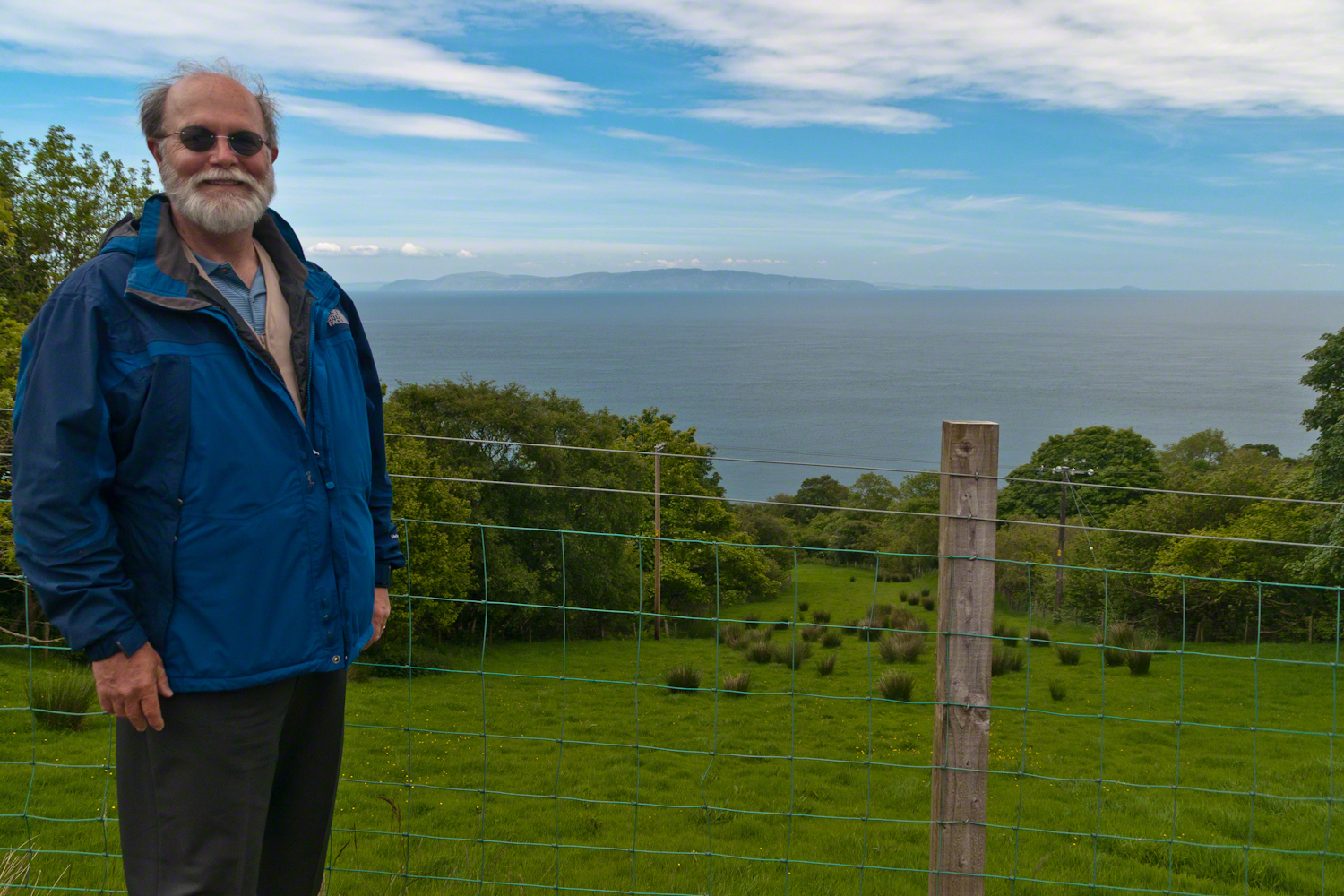
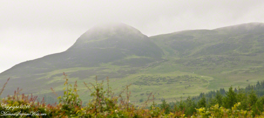
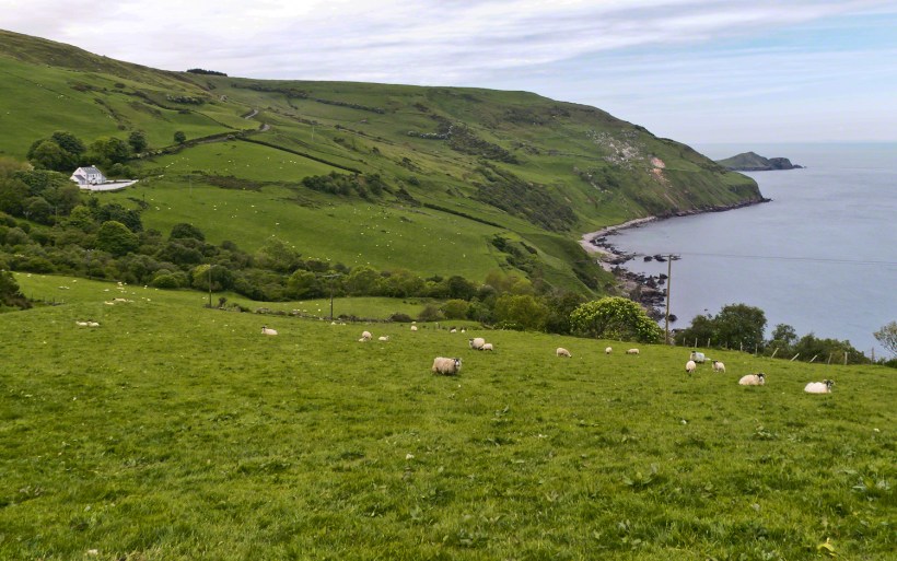
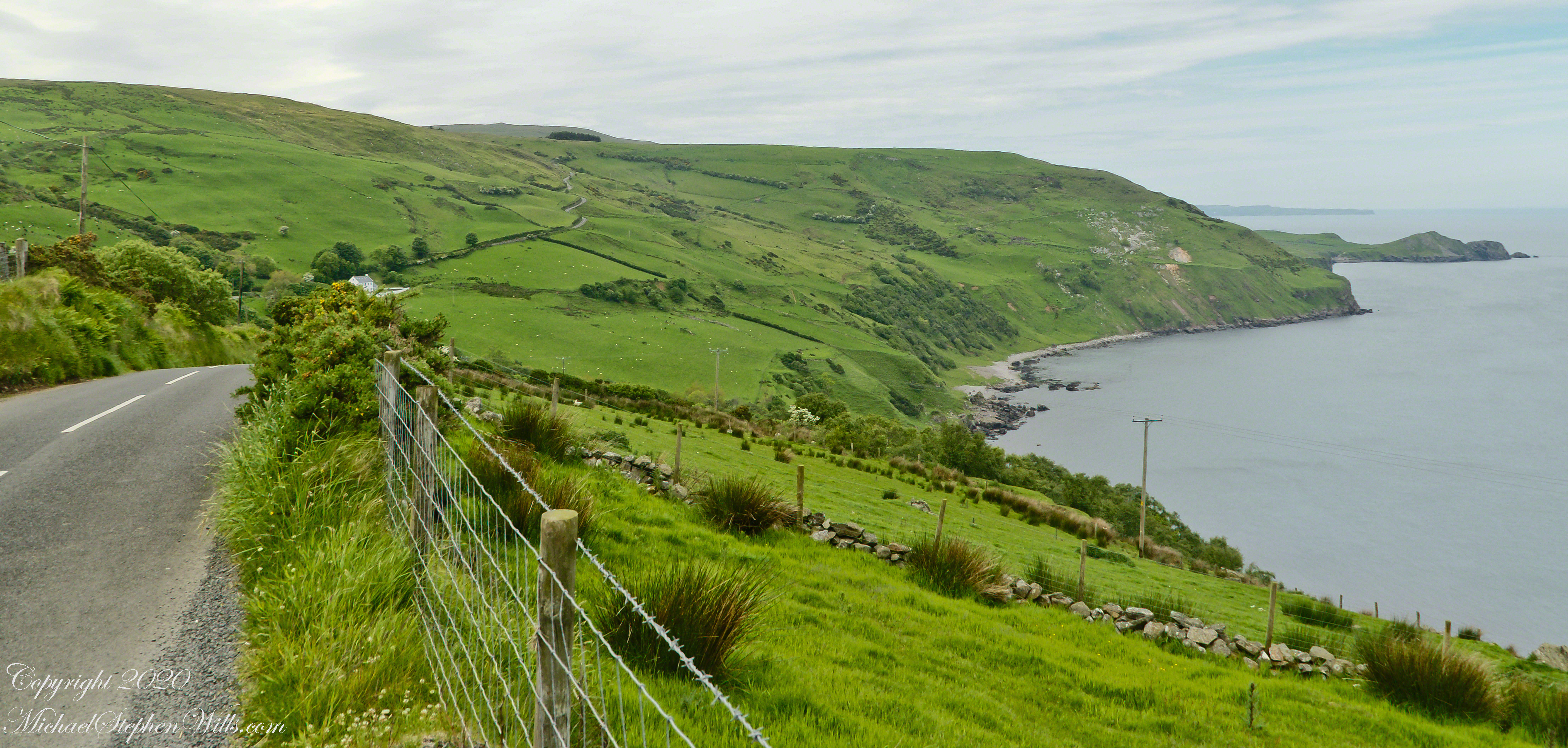
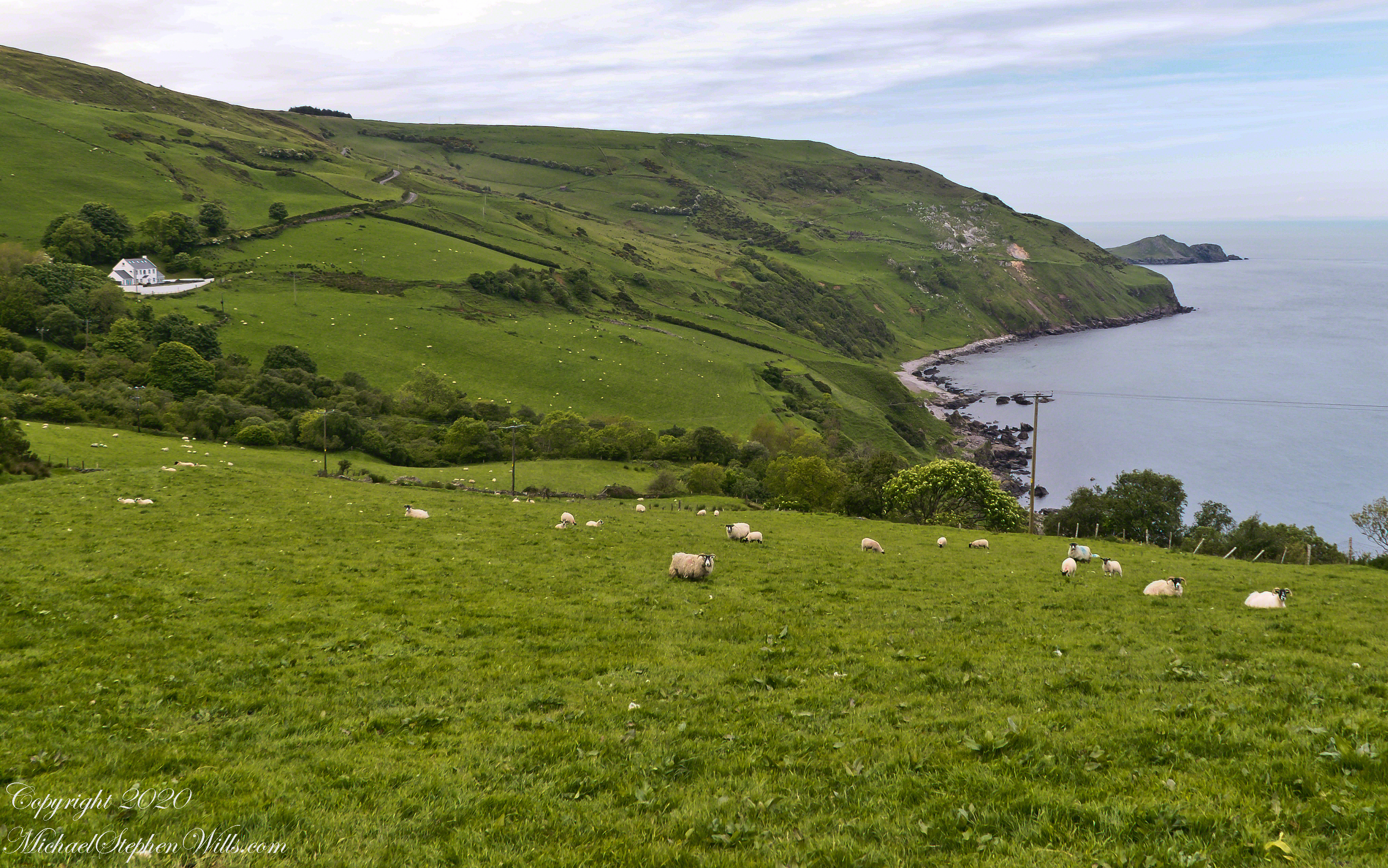
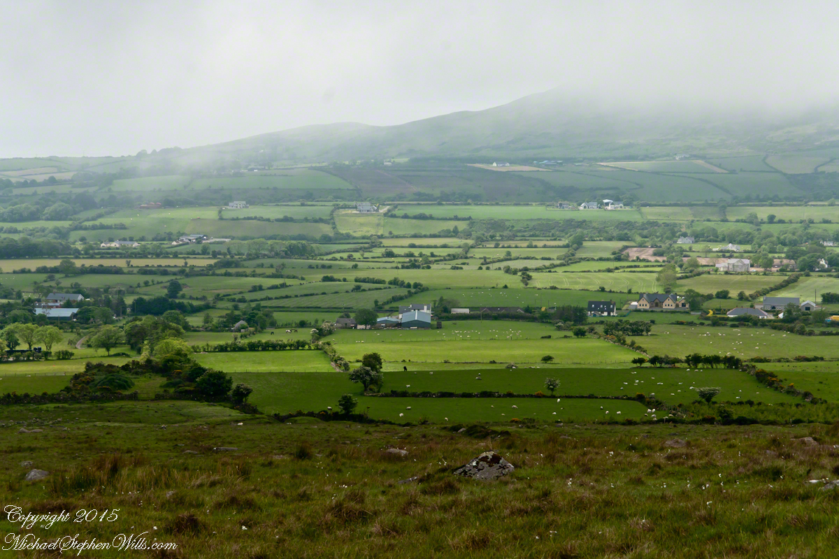
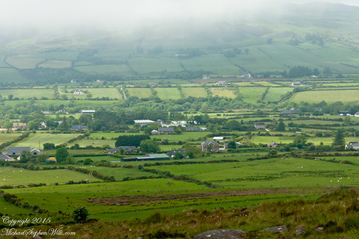
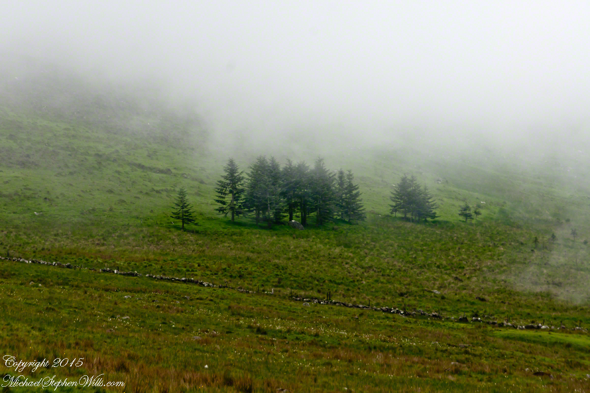
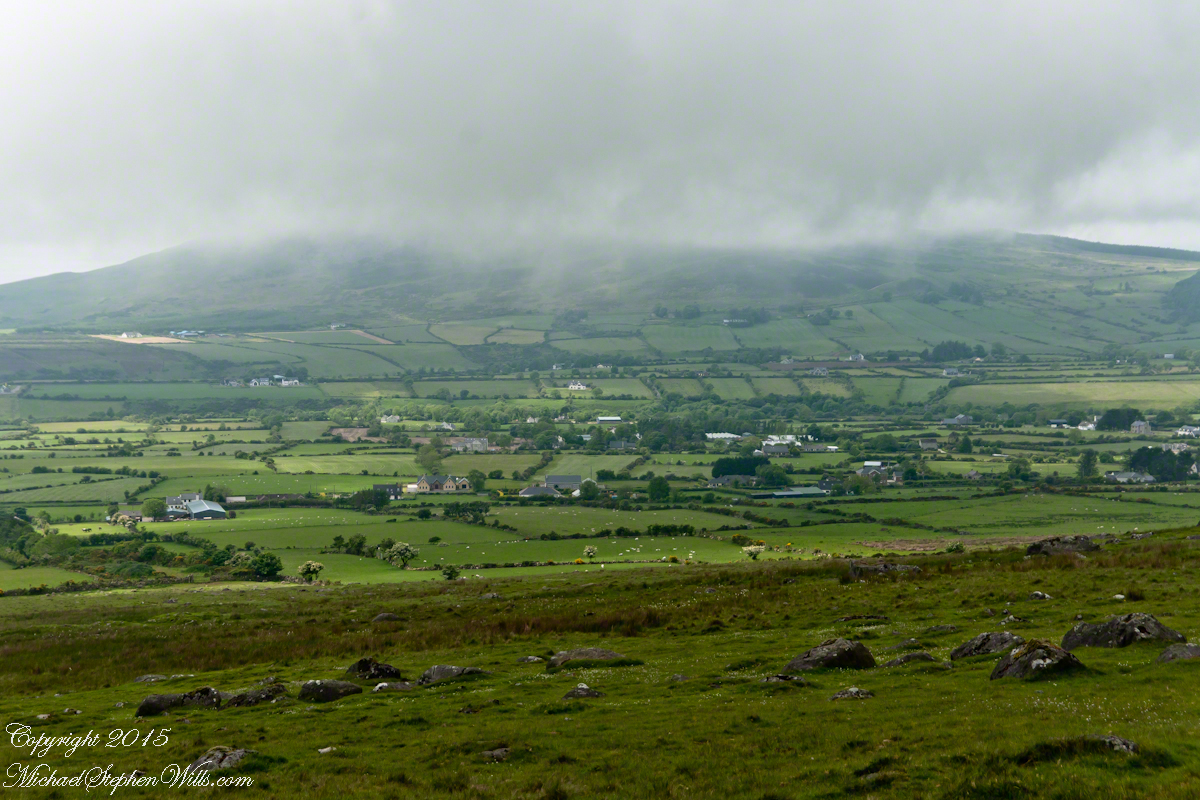
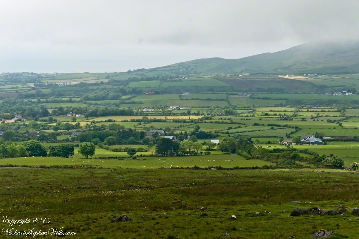
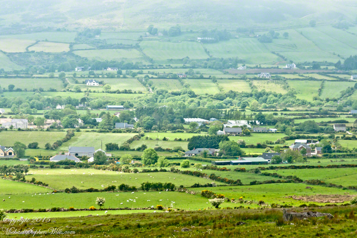
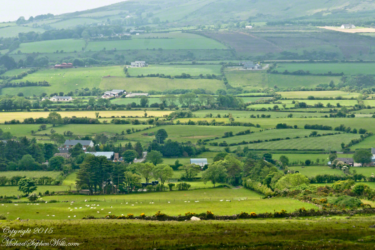
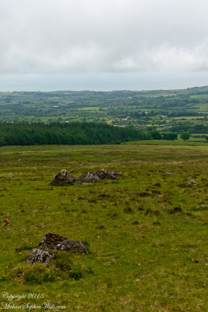
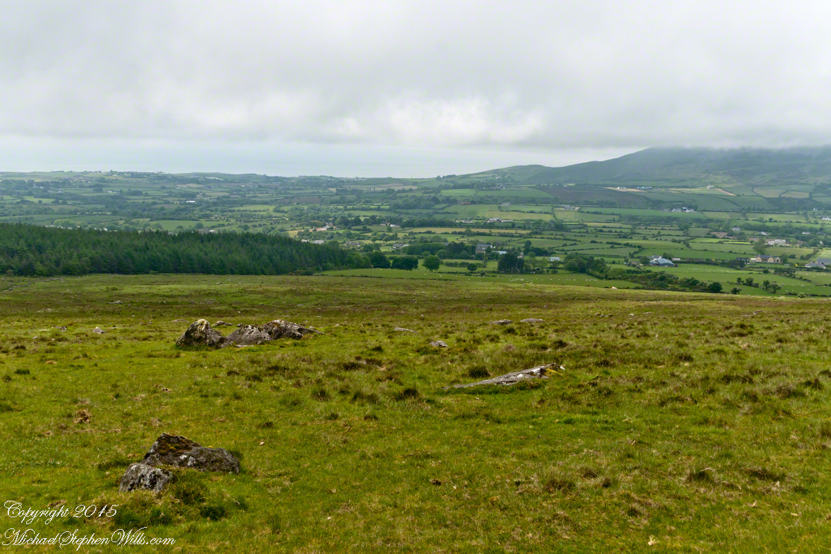
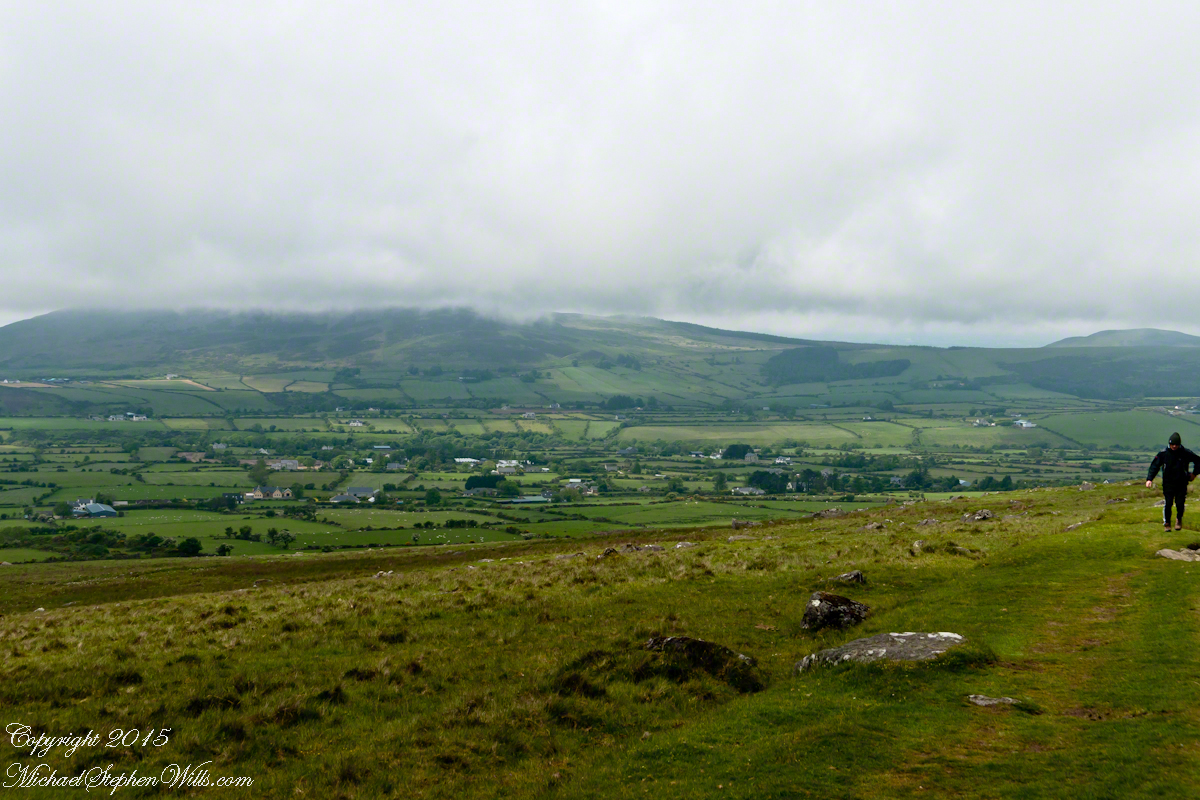
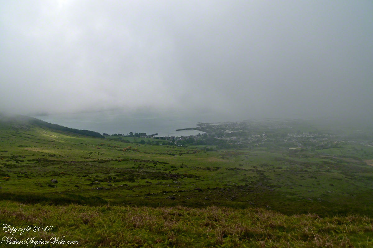
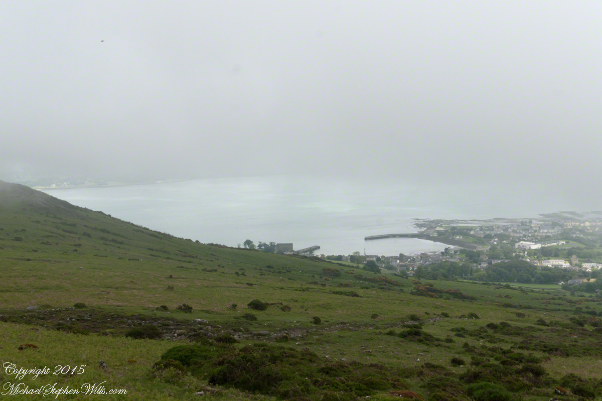
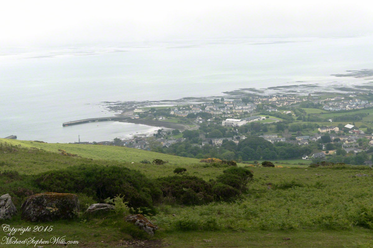
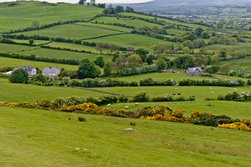
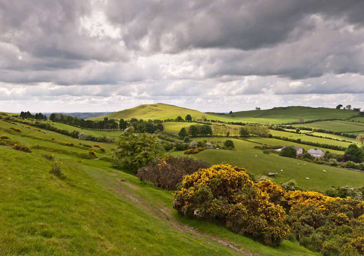
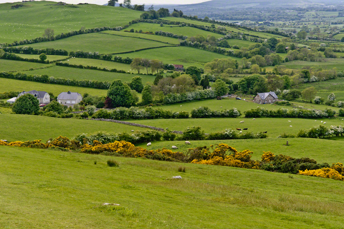
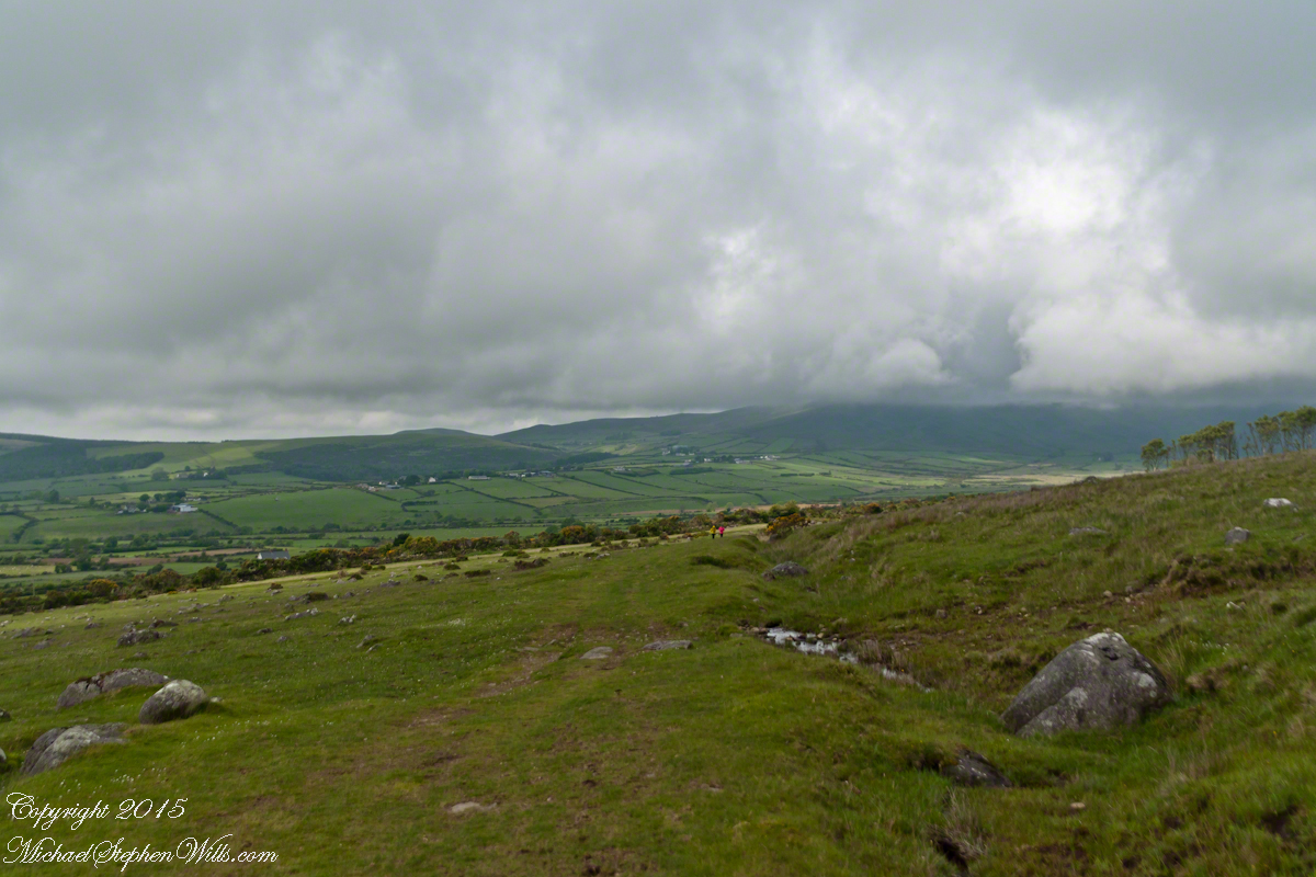
To understand the full beauty of a place, it is necessary to live it, to experience the seasons, approach the land from different aspects; pass the same place many time, noticing overlooked features, enjoying old favorites.  We did our best in this single day and took the exploration of this Antrim County coast slow, savoring all the views we noticed as this is a once in a lifetime experience.  Imagine our amazement to find Scotland so close at hand.  In the past, on a fine day the trip across the North Channel, up eastern Kintyre peninsula shores to Campbeltown at the head of Campbeltown Loch, was easier than a land crossing to a closer town.

I picked Campbeltown because my great great grandfather, a sea captain, emigrated from Scotland to County Louth where my great grandmother, Anne Campbell, married John Mills.  In this way Captain Campbell escaped persecution for his Roman Catholic faith.

Anne Mills

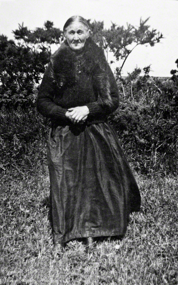
Late in her life, Anne Mills posed for this portrait.  I can tell great grandmother Mills is facing north from these clues:

— the press of the eternal east wind on her dress, against her left left and flowing away from the right.

— the sun shadow on her cheek.  It was around noon.  With the sun, at this latitude, in the south the shadow from her right cheekbone is darker than the left.

Stressed Costal Hawthorn
Rowan Tree directional growth from a constant east wind, County Antrim on the Torr Road nort of Cushenden.

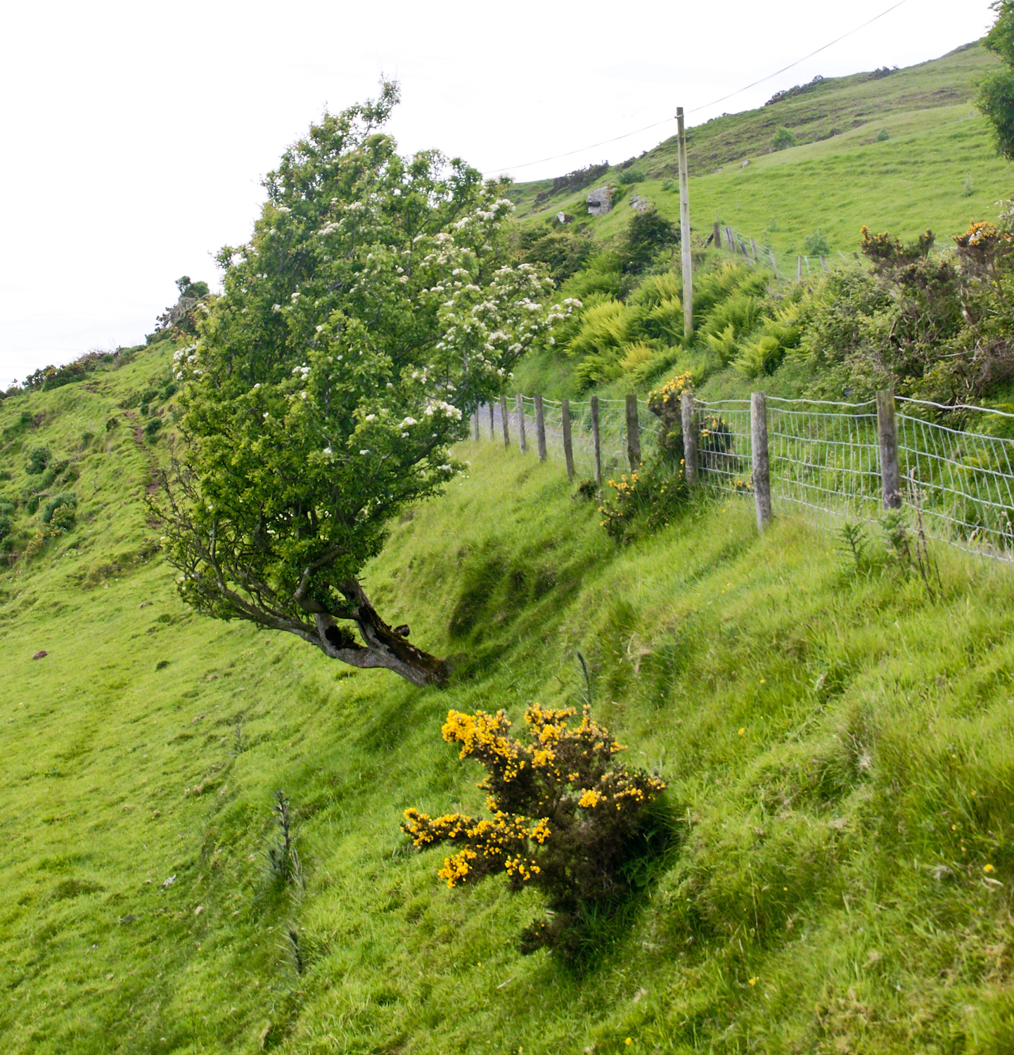
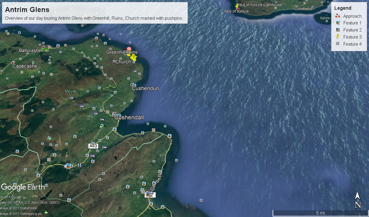
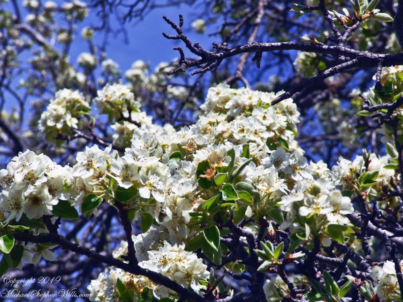
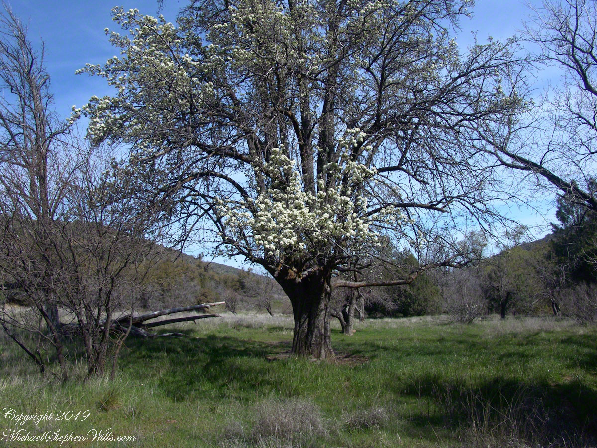
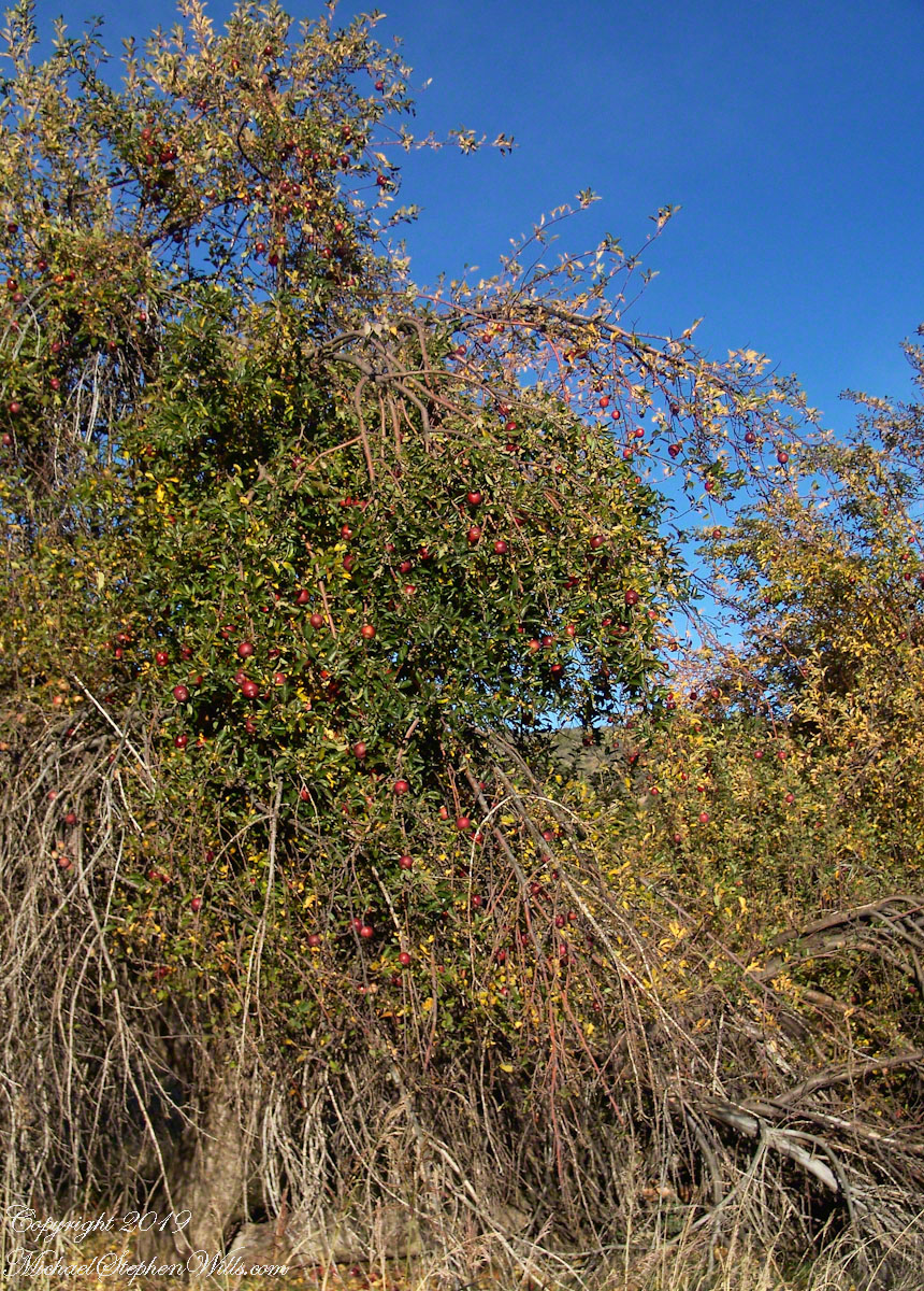
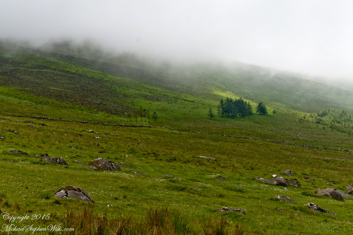
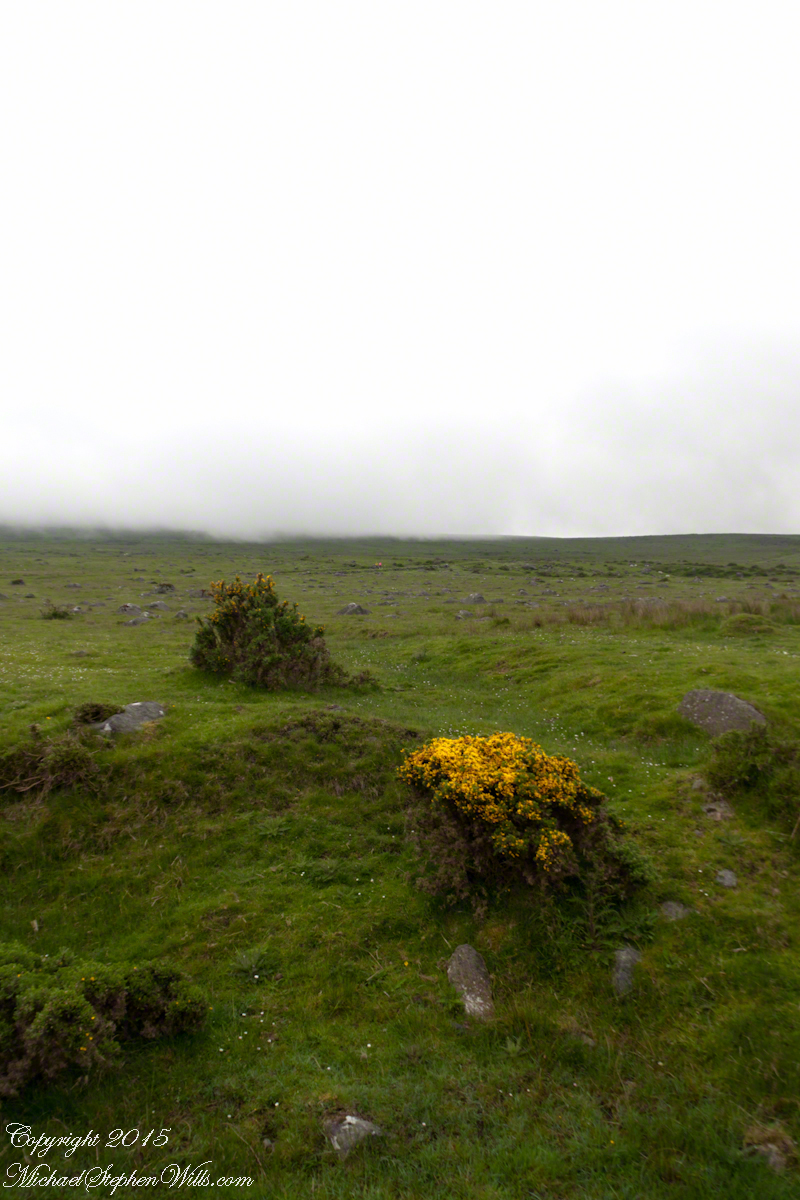
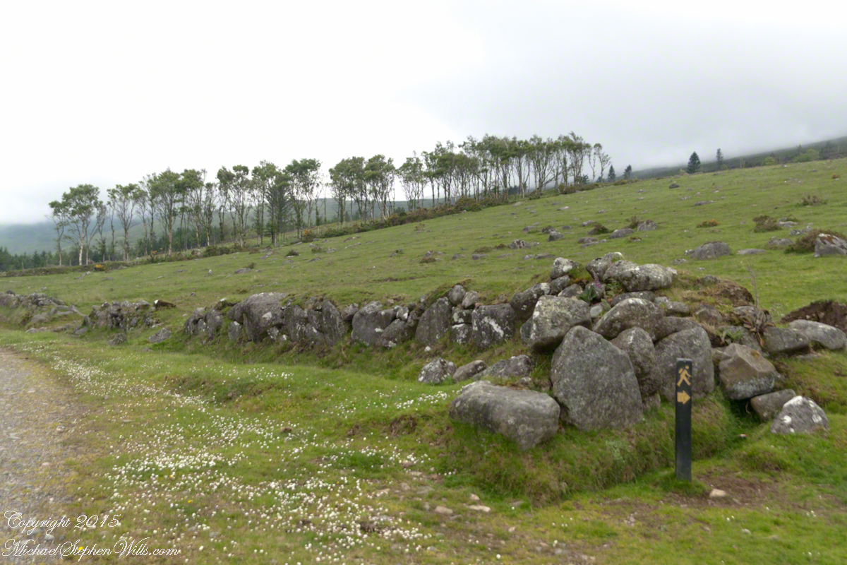
A few miles before Loughan Bay, at Coolranny, are informative placards describing the area.  I thought the white flowering trees, or shrubs, on the slopes were Hawthorn.  On revisiting my capture of the placards I learned these are a different plant named Rowan Tree, aka Mountain-ash.  This wind stressed specimen is an typical example of Rowans on this coast, stunted and little more than a bush.  This individual is slanted westward from a constant and stiff east wind, as with Anne Mills’ portrait.  Residents, past and present, of this coast know this damp, persistent wind well.  Note the lack of blossoms on the east side, blossoms that ripen to small dark red fruit called poms (also called rowans).  The leaves turn red in the fall.  More time, for the fruit to form and leaves to turn, was necessary for me to be certain my identification of this, as a Rowan, is correct.

Loughan Bay Farmer
We parked on a turnout above the Loughan Cottages, near this farmer’s sheep pen. He drove up in a huge tractor and conversed with Pam while I was below shooting the cottages. He made a good impression.

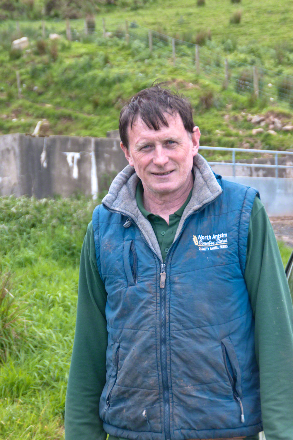
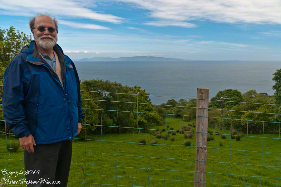
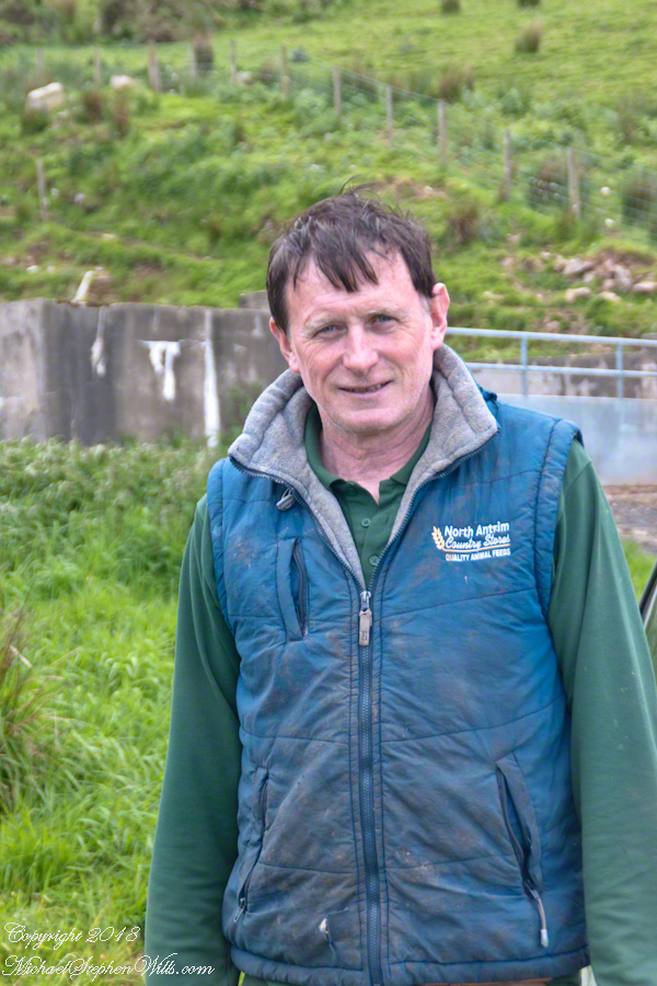
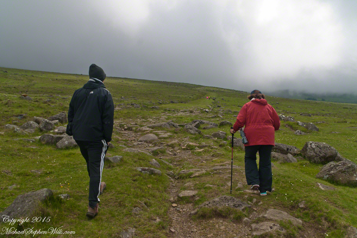
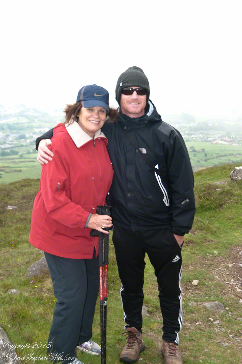
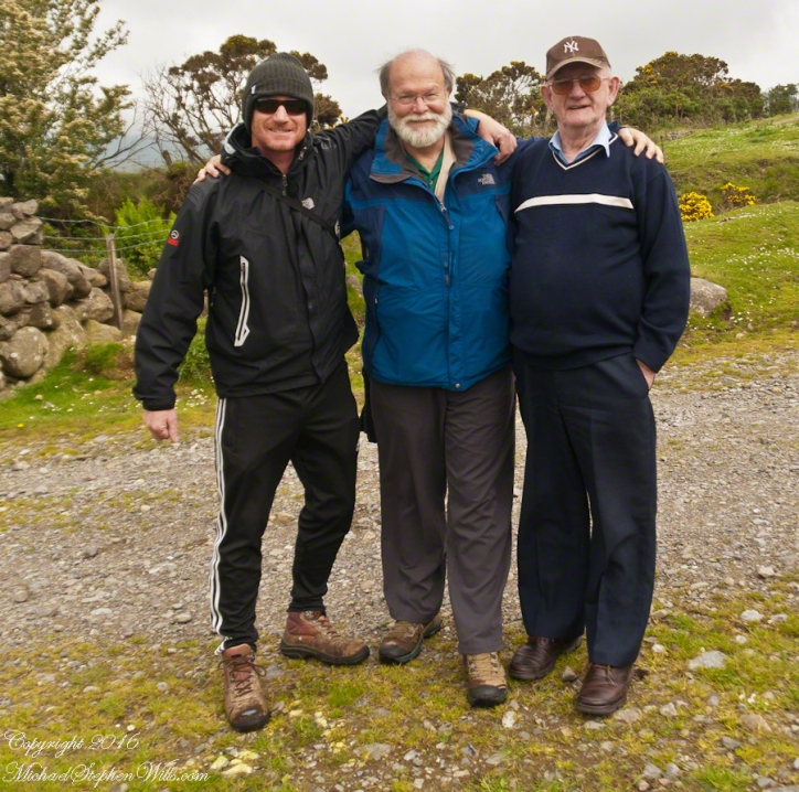
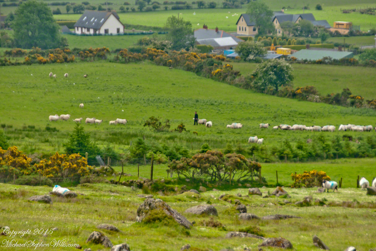
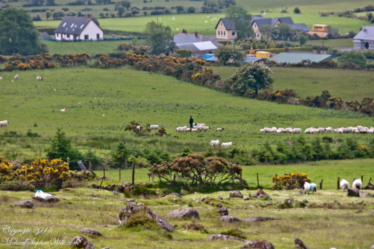
On this day, Friday, June 6, 2014 I did two rounds of shooting the cottages.  The first, handheld, with a Sony Alpha 700.  Upon returning to the car for the Canon, Pam was talking to a friendly sheep farmer who pulled up in a large tractor pulling a tank.  It turned out we parked below the turnout for his sheep enclosure built on the hill west of Torr Road.  His flocks grazed the surrounding land. He and I talked, too briefly, about the hard lives of the people who lived here.

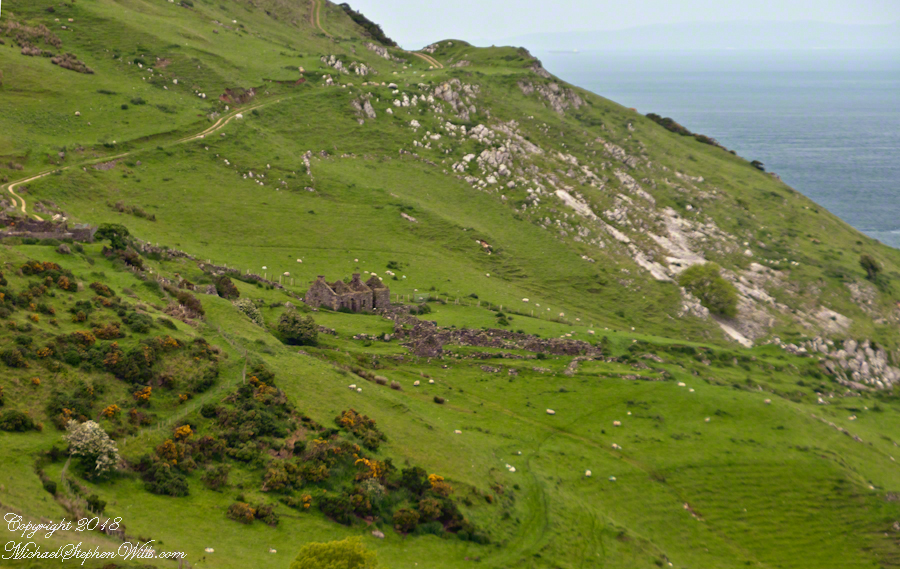
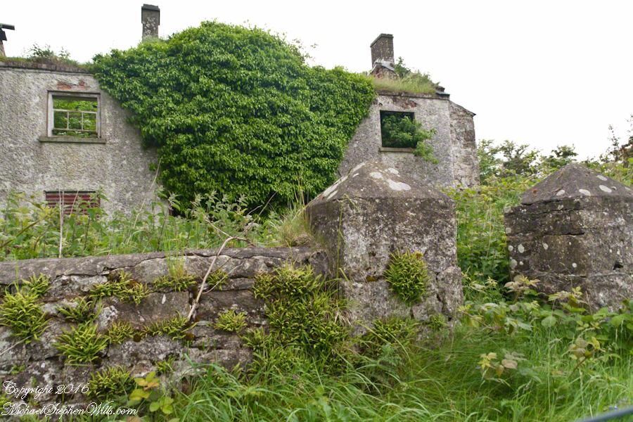
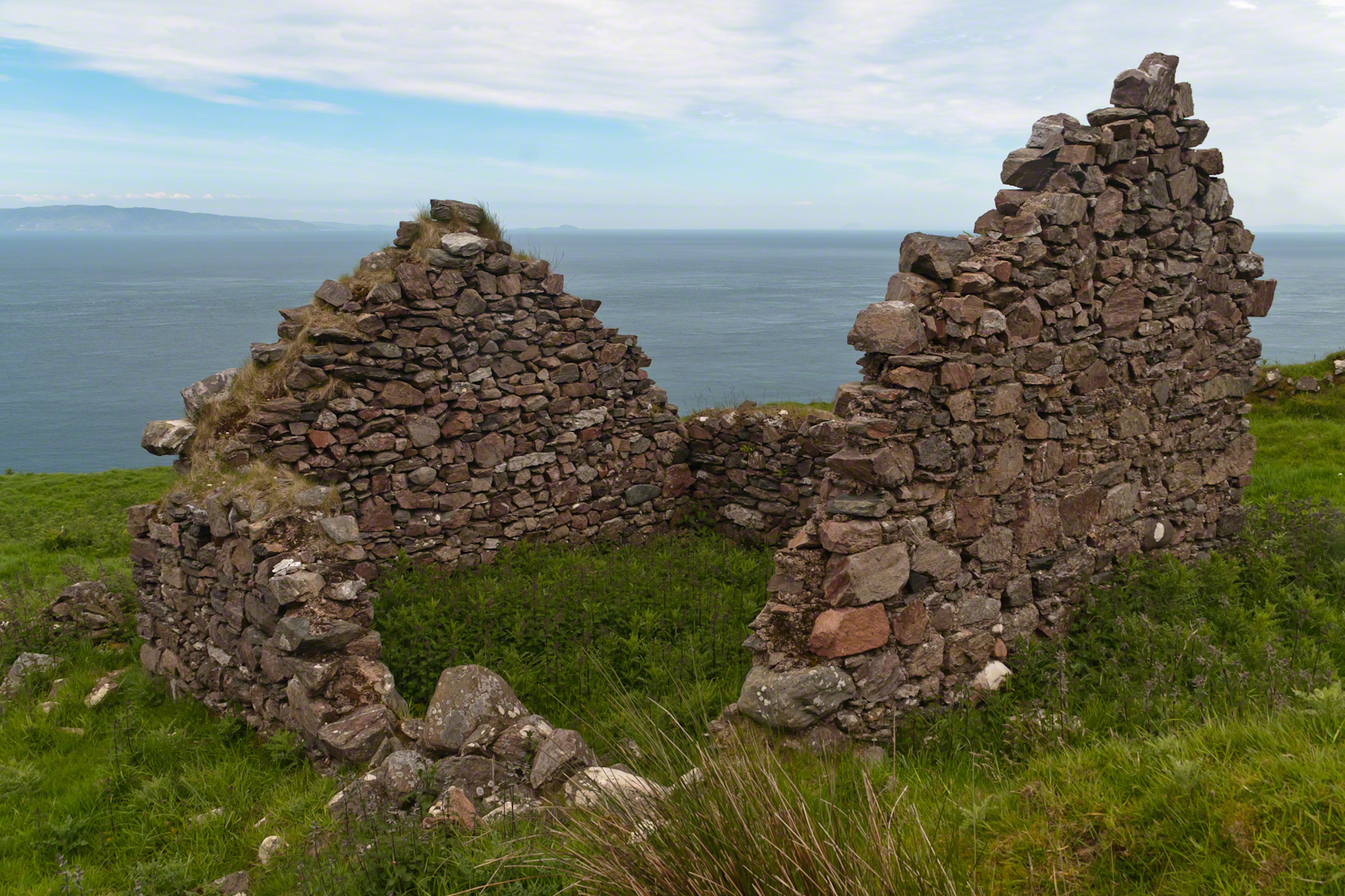
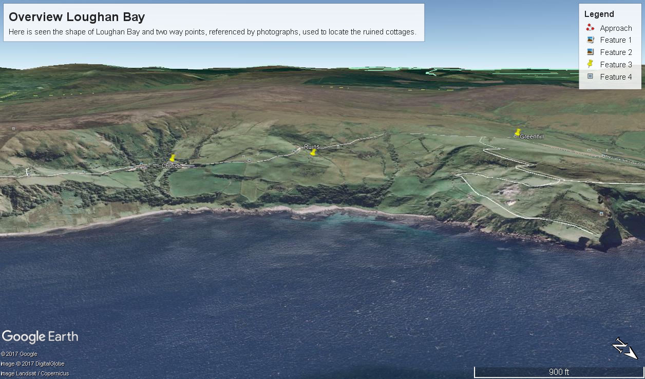
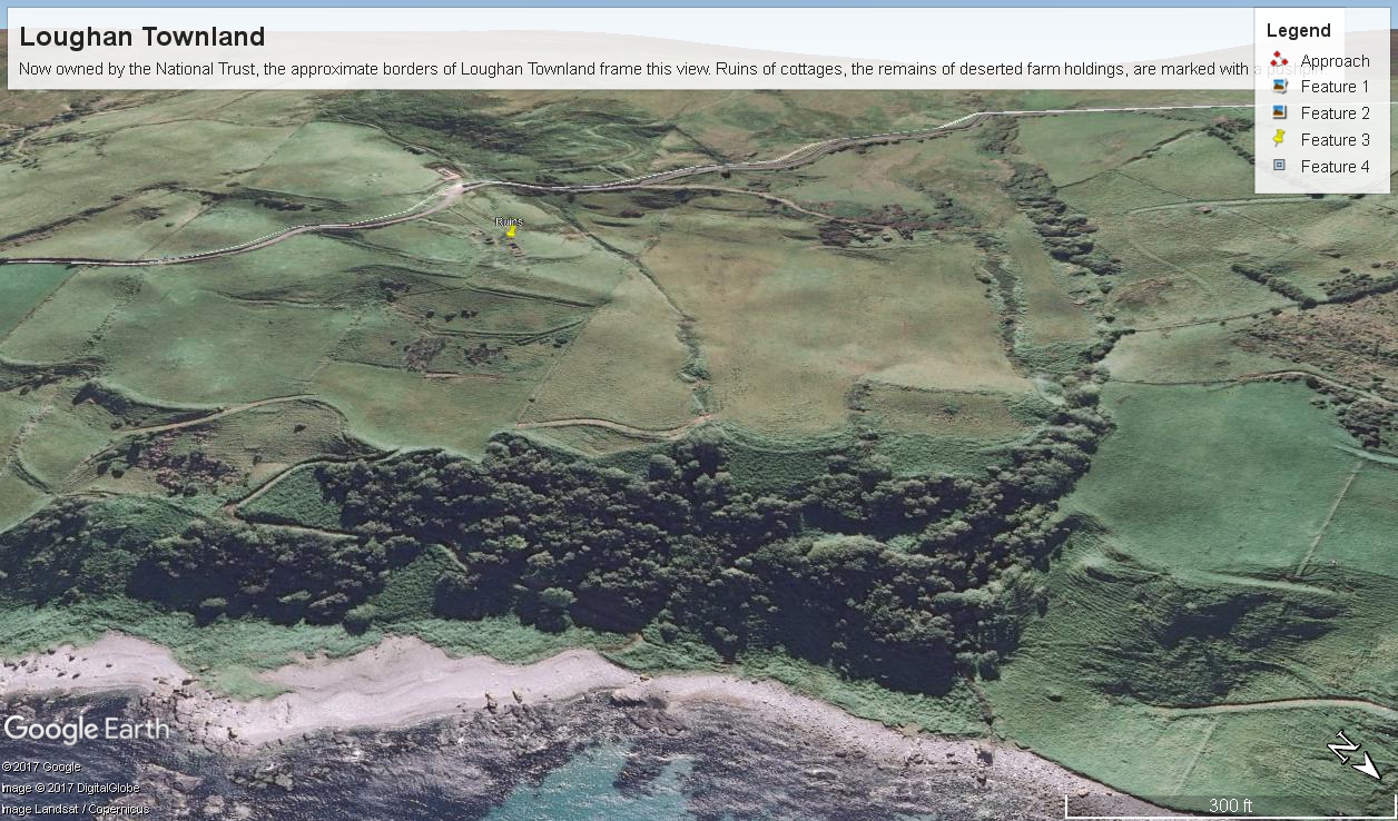
The Coolraney placard, up the road, claimed the cottages were deserted in the 19th century.  I found evidence, in the 1901 Irish Census, of three Roman Catholic families, 19 men, women, children, living on Loughan Townland.  In Part 02 of this series, setting the stage, Loughan is sized at 112 acres, a single photograph captures Loughan entire.  These families had nowhere else to live, in Loughan, other than the cottages.

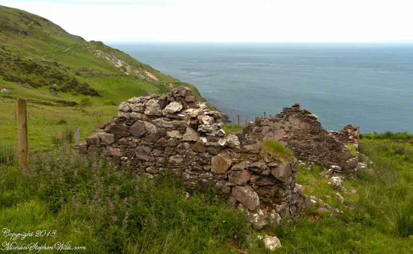
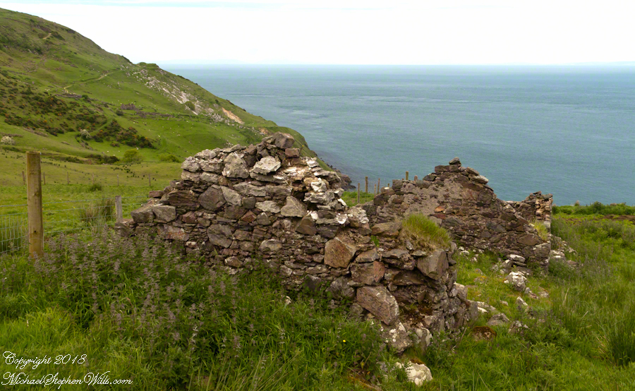
The smallest, and poorest, the poorest of the poor, family was 32 year old Mary Corbit and her two children, 10 year old Mary and Robert, 2 years.  The Corbit family lived in a one room, stone walled, house with a wood or thatch roof.  Unlike the other families they had no outbuildings, structures to house livestock or to support a farm operation.  The house owner was Marj Delargy.

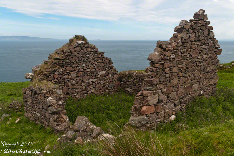
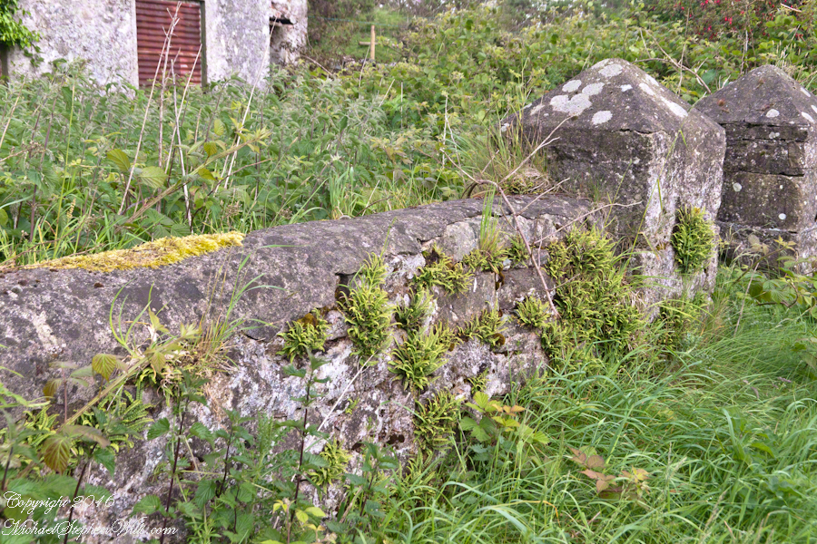
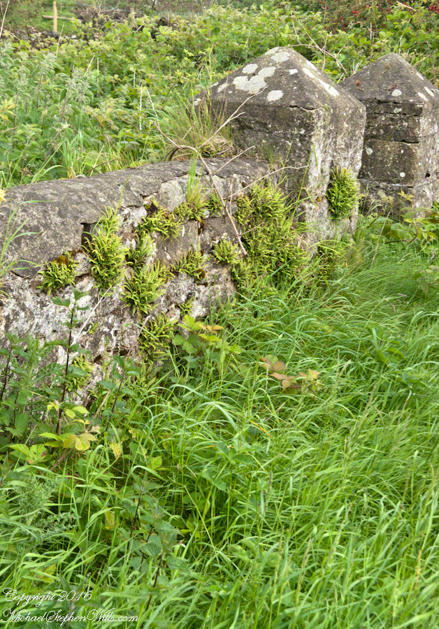
Here is a single room house among the ruins, four low walls, the east/west with intact gables, the stones collected from the hillside.  The west wall higher up the slope, the floor now thick with fern.

Little Mary most certainly took care of Robert for part of the day.  Did Mary, with Robert along, gather rowans, and other forage?

Single Room Loughan Bay Cottage
A thick growth of ferns, grass on the gable was once a home with a view of Scotland’s Mull of Kintyre 12 miles across the Irish Sea. The Isle of Sanda just visible on the right of the far gable. Alisa Crag just visible in the distance, to the left of the nearest gable.

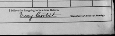
Mary Corbit: head of household, occupation laborer.  There is a footnote to Mary’s “Marriage” entry as Married, “husband at sea.”  The “C” of her census signature exactly like my mother signed her name Catherine.

CorbitMaryCensusSignature

Mary Corbit and her children were not listed in Loughan Townland for the 1911 Census.

Want more? Click the link for my Ireland Gallery

Enter your email to receive notification of future postings. I will not sell or share your email address.

Loughan an Lochan Ruins Setting the Stage

Romance of Ruins

For me, the romance of a place is settled in exact knowledge as much as a feeling. Starting with a recollection of the ruined cottages making such an impression we found a parking place and hiked into them loaded with photography equipment, three years later returning to use the photographs, bringing back a rush of memories and feelings, it is a matter of using the set of photographs from that day to build the location.

This much I knew, going in: we were touring Antrim Glens entering at Cushendall, after visiting Glenariff Forest Park, proceeding up the coast through Cushendun to Torr Head. A fortuitous encounter with a village of abandoned farm cottages (“ruins”) happened somewhere in between.

Click any image for larger view in a new browser tab. If you are in WordPress Reader, open the post to use this feature.

There was a photograph of a notable church prior to the ruins and a fine view, from a place named Greenhill, afterwards.

Here is a picture of the terrain with the three pushpins:

  • A fine church just off Torr Road, to the west. I found the location in Google Maps, marked as “church”. Google earth showed buildings at the location, this set the “church” pushpin. Associated with the church, using the date/time stamp, were images of signage naming Coolranny townland.
  • A sign identifying a location as “Greenhill” was after. Neither Google Maps or Earth lists this as a place. It took hours searching web sites of Irish townlands before I found the reference. Greenhill is not a townland; it was listed as a place on one of the maps. Just above the notation was Torr Road, two unique bends in the road. I used these bends to identify the turnoff where I photographed the “Greenhill” sign.

For reasons to be explained later, it is important to know the name of the ruin townland. The place name sign presented in post 1 was a clue (“Loughan an Lochan” — or Loughan Bay), as well at the web site (see link below) listing Irish townlands. The web site map names “Loughan Bay.”

Click for a site providing the exact boundaries of Loughan townland

With this information I was able to peruse Google Earth, found the turnoff and the ruins!

See the above Google Map image sized to approximate the Loughan townland boundaries.

The scenery was jaw dropping lovely the entire time, so I captured view and view. Here are two landscapes time stamped just prior to the church, views including Coolranny and Loughan townlands with Torr Head in the distance.

That is Torr Road….

……a bit further along. It is possible to locate the ruin site from the Google Earth picture. There is a signature grove of bushes on the slope below the ruin site, sandy beach along shore. In the landscapes, Loughan Bay is cradled in a curve of coast.

Want more photography? Click the link for my Online Gallery
Click for the first postings of this series.

Imagine the effect of this environment on the inhabitants, the love of it grows with time.

Want more? Click the link for my Ireland Gallery

Enter your email to receive notification of future postings. I will not sell or share your email address.

Apple Orchard in the Wilderness

Persistence of agriculture

….continued from the chapter “A Ride to Reavis Ranch”

Imagine walking across the ranch house ruin towards where I described the former pond. Looking to the east and north from the elevation you see this sight.

In the near distance a grass pasture slopes into Reavis Creek. The creek has flowing water in all but the longest dry seasons. By the way, the trail from Pine Creek is on the slopes of that conical feature in the distance, to the left.

Click any photograph for a larger version.
Looking from the former house site towards the Arizona Trail running beneath the distant red rock ridge. Not the fence rails on the left and apple trees in bloom.

From the ruin, walk down the Arizona Trail, south, for a few hundred feet and turn left into the fields to encounter the same apple tree, and a close up of pure white apple blossoms.

Portrait of a Blooming Apple Tree

At Rest and History

This tree is an outlier of a thick stand of several hundred trees to the north. The Searcher and I rode into the middle of the grove for a rest and chat. The horses were allowed to graze in the abundant new grass brought on by the winter rains.

The Searcher told me the story of the valley and that it was a man named Clemans who planted 600+ apple trees, trees in bloom all around us. The Reavis Valley was long a site of agriculture, starting in the 19th century with Elisha Reavis, who passed away in 1896 and is buried on the slopes of White Mountain, and continued with a series of ranchers and entrepreneurs in the 20th: John Fraser, William Clemans, who planted the trees, and John A. “Hoolie” Bacon, then Bacon’s son-in-law Floyd Stone who sold the land to the U.S. Department of Agriculture in 1967.

We talked about some earthwork I noticed, in the southern part of the valley. It was part of a water system that diverted Reavis creek flow at the head of the valley to the ranch house. We decided that strange hexogonal structure on the elevation above the house ruin was the site of water storage. At that location the structure would provide a pressure feed for the house and much else.

Abandoned Hay Rake

A mix of winter rains and fertile soil were exploited in the Reavis Valley for a handful of decades, the enterprise now is set aside. This abandoned hay rake and chassis, used to harvest grass in seasons past, is evidence of the work. The apple trees produce to this day without irrigation.

The Searcher touched upon the subject of the “Circlestone” ruin he mentioned on our morning ride. He had never been there, but mentioned some books on the subject. It is a wide circle of rough stone wall enclosing mysterious structures. At this point, I was hooked, and decided to check Circlestone on a later trip. Here are some photographs from one of those trips, in November 2006.

Reavis Ranch Apple Orchard Tree

Reavis Ranch Apples Yellow

Reavis Ranch Apples Red

In my next post The Searcher and I return to Pine Creek, Colorado gives me some trouble and we visit a stand of wild oats in the Reavis Gap.

Click me to visit Michael Stephen Wills Online Arizona Gallery.

Copyright 2021 All Rights Reserved Michael Stephen Wills

A Story Risen from the Mist

The Resurrection of Táin Bó Cúailnge

We did not climb so much as ascend, with effort, the flank of Slieve Foy, a peak of the Cooley Mountains, County Louth, Ireland. The group being cousin Sean, my wife, Pam, and myself.

The ridge of Golyin Pass loomed in the mist where the path dissolved in low cloud. Sean pointed above, to the right to Barnavave, also know as Maeve’s Gap for the queen who came from the west of Ireland to take Donn Cúailnge, the Brown Bull of Cooley, by force of arms with an army behind her.

My Online Gallery– CLICK ME!!!!
A modern rendering of Donn Cúailnge. See link at the bottom of this posting for more information.
Click this link or a photograph to visit my Online Gallery

When cousin Sean named Cú Chulainn, the champion of Maeve’s opponents, the Ulstermen, he recalled a story once lost, Táin Bó Cúailnge. A hospitable siege different from Maeve’s and mist are part of the story of the recovery of this tale.

A gathering of 150 poets, 100 pupils, and attendants strained the patience and wealth of Guaire Aidne mac Colmáin, King of Connacht, when it extended to a year and four months.

Southwest View from Hags Mountain– CLICK ME!!!!
Our first and only encounter with fellow hikers. In the distance two figures appear over the next ridge, a mother and young daughter. She greeted us and challenged Sean to his knowledge of the area. Sean acquitted himself well and we continued.

On that 16th month, the king challenged the leader of his guests to the telling of a tale. Guaire demanded Seanchan Torpest, the chief poet of Connacht, to recite the whole of Táin Bó Cúailnge, known in English as the Cattle Raid of Cooley or The Táin (Cattle Raid).

Click a gallery pic for a larger view.

In this way the king was relieved of his guests: the book of the Táin was lost before their lifetimes, rumored to be abroad. Abashed at his failure, Seanchan Torpest withdrew. Fellow poets and followers trailed out from the castle.

Seanchan Torpest regrouped the host (an opened question is who then supported them) in conference to construct Táin Bó Cúailnge. It was a false hope as the gathering discovered while each poet knew a part of the whole, most of the story was lost. His honor, reputation and self-esteem in tatters the Chief Poet of Connacht, set off with Murgen, his son, and second cousin Eimena to return the Táin to Ireland.

Into mists such as those Pam, Sean and I ascended, the travelers soon were lost and separated.

Magically, Murgen finds the grave of the Uncle of Cú Chulainn in the mists, there to meet the shade of that enormous man, Fergus mac Róich is his name. In the Táin, as related in whole by Fergus to Murgen, Fergus was led by circumstances to ally with Maeve, to guide her army against the Ulstermen. As a deposed king, traitor to Ulster and Uncle to the champion Cú Chulainn, Fergus knew the tale entire.

My Online Gallery– CLICK ME!!!!
View as we approached Goliyn Pass

It was from the mists that Murgen emerged, found his father and cousin, and returned together without the book, but with possession of the substance of the Táin.

Click this link or the above photograph to visit my Online Gallery

Views of Carlingford

Visit the opening chapter of our time on the Tain Way

Visit the next posting in this Ireland series, “Farmland Southeast of Carlingford”

A thank you to Wikipedia, my information source on the resurrection of the Táin.

Copyright 2021 Michael Stephen Wills All Rights Reserved

Loughcrew Hill View

On the Ground in County Meath

The popular name of the Loughcrew megalithic site is, “The Hill of the Witch” (In Irish, Sliabh na Caillí). In lore sites such as this are associated with The Others (“fairies”), living lives parallel and invisible to ours, touched now and then with resolutely ill effect to our side though sometimes theirs as well. Resolute as in these meetings are fated to end poorly unless…..unless the mortal knows the rules. “If you are ever in an Other’s mansion for a party never, ever eat or drink anything. Eating or drinking will condemn you to an eternal round of parties. You will dance till dropping every night.” Rules such as that, and others, can be used to turn the tables, gain an advantage, of beings from the Other Side.
The story of my wife, Pam, how our lives came to be touched by this afternoon of May 27, 2014, is parallel to the tales of mortals benefiting from contact with The Others. The immediate source was the passing of my mother, Catherine Ann Wills (McCardle), at the age of 90. Mom’s passport gave her place of birth as Proleek, a place in Louth. My maternal grandmother, Mary Catherine McCardle (Mills) spoke with a brogue, less a lilt than a down to earth and kind warmth. I remembered the stories of Mom’s passage to Canada with her mother and father in 1926 at the age of three. The Ireland connection with my father was less direct as I never met his mother as an adult and we seldom spoke of her. It was left to me in the time between my Mom’s passing, an invitation for a visit from our cousin’s in County Louth, and our arrival May 2014 to understand more about Elizabeth (Duffy) Wills, my paternal grandmother.
In this way, I discovered Elizabeth came from a family of Dunderry, County Meath, Ireland, her parents Matthew and Teresa (Plunket) Duffy; our tour of Ireland came to start from a bed and breakfast near Trim, County Meath, with Dunderry up the road. May 27th, we planned as an exploration of all things County Meath, to include Loughcrew, the highest point of the county in the west.
Along the steep path to the hilltop a hawthorn tree covered with flowers and offerings welcomes visitors. May is the month for decorating hawthorns, the blossoms are also known as “Mayflowers” as in the ship the pilgrims sailed to Plymouth Rock.

Click the photograph to open a new window/tab of my Online Gallery.
Pam and Hawthorn– CLICK ME!!!!

As if we entered a gateway, when pausing and turning high on the hill, this view was revealed, otherworldly in its fullness, scope and wonder as though we passed to the other side to the fairies.
Cairnbane East of the Loughcrew Cairns site, County Meath Ireland, is also known as Hag’s Mountain. We are looking south, southwest from the north side toward Cairnbane West. Flowering yellow whin bush, also known as gorse, is in foreground; white flowering hawthorn trees in distance. No elements of this photograph hint at the year 2014.

Hag's– CLICK ME!!!!

A solitary standing stone below the trail to the Loughcrew site surrounded by whin bush in yellow flower and white blooms of hawthorn hedge rows. A fieldstone fence, farmhouses, a patchwork quilt of fields completes the view.

Hag's– CLICK ME!!!!

Meanwhile, in the real world, when Pam and I complete our round of the island to return to my cousins in County Louth, they told us, on this day, two young men were discovered parked next to a nearby lough, murdered during a drug deal gone bad.

Click for another Ireland posting

Copyright 2021 Michael Stephen Wills All Rights Reserved

On the Tain Way

A place of myth and wonder on foot and approachable

On Monday, June 9, 2014, cousin John Mills dropped his son, Sean Mills, myself and Pam Wills off at the foot of the western slopes of Slieve Foy on the Tain Way.  Sean, Pam and I walked the way over the mountain and into Carlingford in the footsteps of epic Irish heroes.

Our guide, Sean Mills, proposed the walk and it fell on our last full day in Ireland. Sean’s father and our host for this visit, John Mills, transported the group including my wife Pam to the starting point at the foot of Slieve Foy.

Click this link to visit my Online Gallery

On the Tain Way– CLICK ME!!!!

Yes, if there is any part of the Tain Way the the mythic Irish heroes trod it is this one over Slieve Foy mountain. The saga, in Irish “Táin Bó Cúailnge” and “The Cattle Raid of Cooley” in English, features this bull, “Donn Cuailnge” “The Brown Bull of Cooley”, here as a statue erected 2011 by the Grange and District Residents Association.

Walking the Tain Trail to Carlingford

Donn Cuailnge raged over the very slopes we walked this day. The myths themselves fill a volume and I am unable to do them justice here.

On the way, John stopped at the Old Aghameen School he attended in the late 1930’s early 1940’s 70 years before and we pass through the country soon to grace our views.

Many thanks to the Glenmore Athletic Club, the Cooley Walking Forum and land owners who provide access to the Tain Way.

We had our leave taking with John, who planned to stay near the phone for our call from Carlingford, if all went according to plan. That same year Pam had the first of two total knee replacements. This was our longest hike in Ireland and Pam was not likely to miss it, regardless of any pain. Pam is always ready to smile.

Walking the Tain Trail to Carlingford

At start, the Tain Way is broad, green and welcoming.

Walking the Tain Trail to Carlingford

The western slopes of Slieve Foy hold views of a valley among the Cooley Mountains with Dundalk Bay of the Irish Sea to the south / southeast. It was not long before the view started to open and, then, opened and opened the entire walk to the top. We were graced with a lovely, cloudy, June day. Mist only, no rain. Plenty of wind, not strong.

Walking the Tain Trail to Carlingford

Farms are all about. Here a farmer attends to the flock. They know who he is.

Walking the Tain Trail to Carlingford 
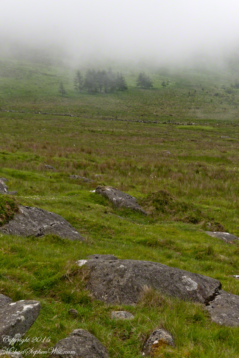
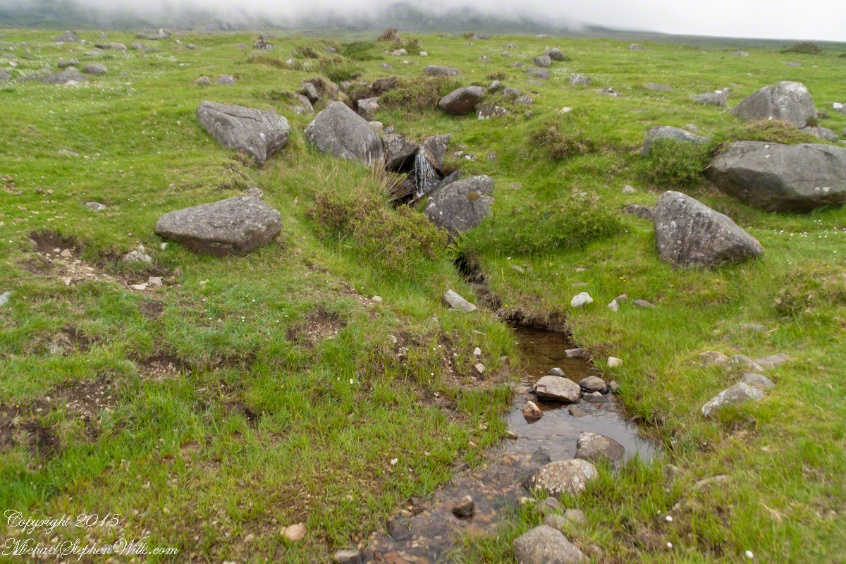
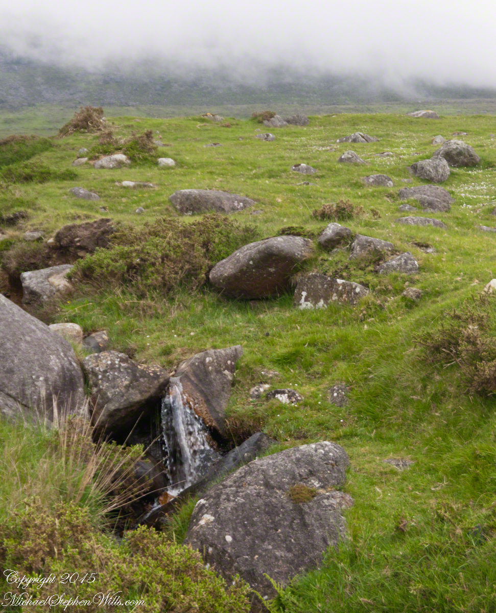
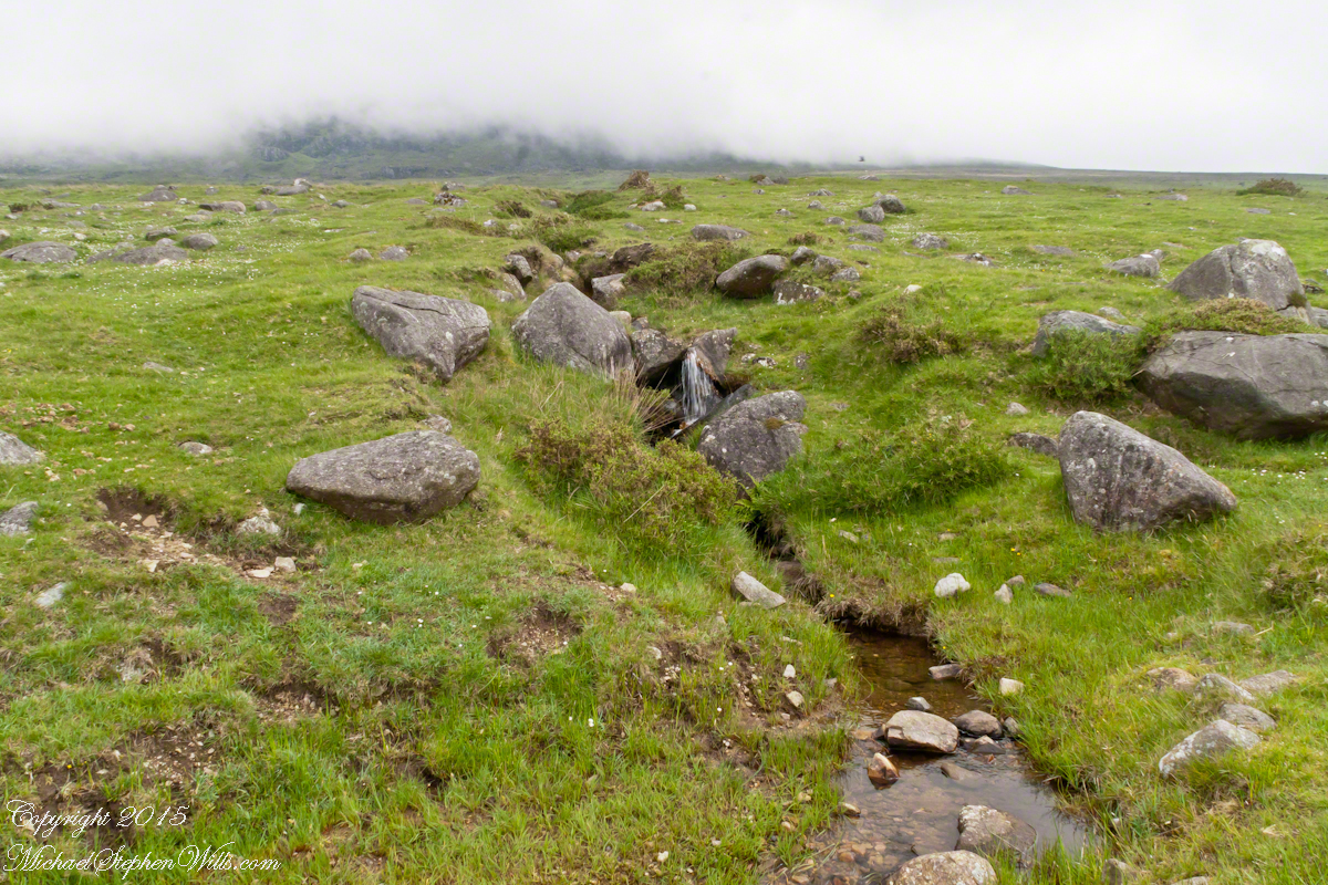
The lower slopes hold many small stream among granite stones. Walking the Tain Trail to Carlingford Walking the Tain Trail to Carlingford Walking the Tain Trail to Carlingford Walking the Tain Trail to Carlingford Walking the Tain Trail to Carlingford

I will continue with our walk on the Tain Way soon enough.

Click for the next chapter of our time on the Tain Way

Here’s a previous Ireland posting……

Copyright 2021 Michael Stephen Wills All Rights Reserved

Hag’s Chair or Mass Rock?

Ancient Tradition

Part of our day in County Meath, Ireland  
Click the photograph to open a new window/tab of my Online Gallery.

Known as the Hag’s Chair in some contexts, K29 or the Mass Rock, in others, set as a Cairn T, Loughcrew kerbstone thousands of years ago the carved symbols on front, rear and seat are very worn. There is no surviving record to inform us of the stone’s purpose. The upper side appears carved to enhance the form as chair.   Set to the north of Cairn T, not in front of the entrance as with Newgrange, even this is a mystery.  It is the third largest curbstone.

Hag's Chair– CLICK ME!!!!

The popular name refers to the hill itself, “The Hill of the Witch” (In Irish, Sliabh na Caillí).   In lore sites such as this are associated with The Others (“fairies”), living lives parallel to ours.

Tradition holds that, during times of the Penal Laws, Catholics gathers on for Mass using this curbstone as the altar.   By this it is known as the Mass Rock.

Click for another Ireland posting

Copyright 2021 Michael Stephen Wills All Rights Reserved

Loughan Bay Ruins, County Antrim

Deserted Cottages above the Irish Sea

We pulled off the side of Torr Road for this fine view on the way to Torr Head to take in this view of the Irish Sea.  The steeply rising distant headland is the Mull of Kintyre. Loughan an Lochan, County Antrim, Northern Ireland.

Michael Wills – CLICK ME for my Getty Portfolio.

We parked on a turnout above the Loughan Cottages, near this farmer’s sheep pen.  He drove up in a huge tractor and conversed with Pam while I was below shooting the cottages. He made a good impression.

Loughan Bay Farmer – CLICK ME for my Getty Portfolio.

Roofless walls of a cottage more substantial than the other deserted ruins above Loughan Bay, with two fireplaces a walled porch with a view. A number of outbuilding foundations lay around. The integrity of the walls, chimneys and gables speaks to the quality of construction. A freighter in the North Channel of the Irish Sea is visible in the distance above the upper ridge. Beyond is the island of Islay, Scotland, about 30 miles distant. Loughan an Lochan, County Antrim, Northern Ireland.

I am happy to report a series of thirteen (13) photographs of these ruins were accepted for publication by Getty.  You can click any of the photographs in this posting for my Getty portfolio.

Loughan Cottages Ruins above Crockan Point – CLICK ME for my Getty Portfolio.

The land slopes steeply to a rocky beach.

Ruin Above Loughan Bay – CLICK ME for my Getty Portfolio.

A thick growth of ferns, grass on the gable was once a home with a view of Scotland’s Mull of Kintyre 13 miles across the North Channel of the Irish Sea.  The Isle of Sanda just visible on the right of the far gable.  A landform named Alisa Crag is just visible in the distance, to the left of the nearest gable. 

Single Room Loughan Bay Cottage – CLICK ME for my Getty Portfolio.

Please browse my reasonably priced stock photography. License a photograph, download and use it for your website or blog. Click this link to browse all my Getty IStock Photography offerings.

Or click this link or any photograph or this link to select a print with custom framing from my “Ireland” Fine Art Gallery.

Interested in learning more about this site?  I have a series of postings on Loughan Bay.  Click for the first posting in this series.

Copyright 2021 Michael Stephen Wills, All Rights Reserved.

Irish Countryside: the Old Aghameen School

A schoolhouse ruin on the Cooley Peninsula near the Tain trail

Click any photograph to visit my online gallery

On Monday, June 9, 2014 John Mills, the first cousin of my mother, Catherine Wills nee McArdle, showed us the ruin of the schoolhouse used in the 1930 / 1940’s and which he attended as would Catherine if her parents hadn’t emigrated to Canada in the 1920’s.  Free public schooling was mandated in Ireland from 1831 and by the 1850s most Irish parishes had a schoolhouse, such as this in Ballymascanlon civil parish, as part of the National Schools.  When this piece was first published, Malachy Mills (a cousin), left a comment and clue…the name is Aghameen School.  The following information spooled out from that.

There is an Irish language site, Duchas.ie, with listings for Aghameen, a Louth township, the very one of the school and, very rightly, it is the name of the school.  There is even information from a teacher, Bean Ui Riada, who taught there 1937 – 1938, and posted information about local place names and legends.  Here is the link to his postings.  I learned from him that Aghameen is An tÁth Mín in Irish and means “field of the mountain meadow.”  You can see from the photographs the site is on the side of a mountain, pine forests all around.

Throughout her life my Mother had correspondence with her cousins who learned how to write in this very school.

The school existed at least since 1842. In private communication arising from this blog posting I learned a friend’s great, great grandfather, Denis Joseph Doherty, came from Donegal in that year to teach in the school and married a fellow teacher, Margaret Kane who was the girl’s school teacher. They raised a family while living at the school until moving to Jenkinstown. Margaret was from Jenkinstown, not far away and also on the Cooley Peninsula. They are Malachy Mills’ great, great, great grandparents through his mother.

Aghameen School is located on the Cooley Peninsula, County Louth, shown in the following Google Earth Image

Schoolhouse Ruin Overview from Omeath– CLICK ME!!!!

This is the exact location:
Latitude 54° 2’17.83″N
Longitude 6°16’3.08″W

To get there go to the cross-roads in Omeath and drive uphill for a few miles to a T-junction. Turn left and go through the Windy Gap past the Long Woman’s Grave (shown on the following Google Earth image). Take the right fork at the next Y intersection. Continue for 1.4 mile (2.26 kilometers) to a Y intersection, take the right fork. Continue .18 mile (.28 kilometer) to find the ruin is on your right.

Aghameen Schoolhouse Location– CLICK ME!!!!

I marked the a portion of the Tain Way with a red line where it passes near the Old Schoolhouse.

Aghameen Schoolhouse Location closer– CLICK ME!!!!

This is the road as viewed from the ruin looking south…..

Schoolhouse Ruin stone fence– CLICK ME!!!!

….and the distant view of the uniquely shaped peak Slievenaglogh to the southeast. Slievenaglogh in Irish is Sliabh na gCloch and means mountain of rocks. There is an identically named peak in the Mourne Mountains, to the north across Carlingford Loch. Slievenaglogh of Cooley Peninsula is an interesting element of south view from this valley.

Schoolhouse Ruin stone fence– CLICK ME!!!!

The ruin itself. Schoolhouse Ruin stone fence– CLICK ME!!!!

…behind a stone fence and gate posts.

Schoolhouse Ruin stone fence– CLICK ME!!!!

Overgrown with ferns, moss, grass…..

Schoolhouse Ruin stone fence– CLICK ME!!!!

…the ever present lichen.

Schoolhouse Ruin stone fence– CLICK ME!!!!

John’s son, Sean Mills, was with us.  That day, Sean lead us on Tain Way over the Golyin Pass over Slieve Foy with Carlingford as the destination.  Indeed, the Tain Way passes a few feet from this spot, being a loop of the Cooley peninsula. The Way is a two day walk, our starting point was a few miles from the schoolhouse.

Click for the previous posting in this series, “Happy Saint Patrick’s Day 2017”.

Click for the next posting in this series, “Annie Moore and her brothers”.Click for the next posting in this series, “Annie Moore and her brothers”.

Schoolhouse Ruin stone fence– CLICK ME!!!!

Breezemont Manor

math-bhuilich Coleraine and July 2020

A steady, drenching rain graced the landscape and ourselves during the road trip from Coleraine to Belfast. These are the parting photographs of Breezemont Manor, our lodging for the Antrim Glens exploration (see “A Bit about Torr Head for an entry point).

Before leaving I did a cursory photographic tour, skipping the messy bedroom. We arrived very late, after the posted arrival time. A plain-spoken Ulster Scotsman kindly let us in with a few choice words. After dinner out photographing the very nice room in pristine state was neglected.

The foyer, carpeted in a plaid and photographed below, bore the Scottish identity of the proprietor.

Click photograph for a larger view. To do this from WordPress Reader, you need to first click the title of this post to open a new page.

Throughout there were tinted etchings, featuring local buildings.

An overview of the property. The glassed-in addition on the right hand (east) side is the breakfast room.

We enjoyed two breakfasts here.

There is a strong connection with the USA, where many Ulster Scots emigrated, including my own great and double great paternal grandmothers.

Click Me for my Shutterstock Gallery

Copyright 2020 All Rights Reserved Michael Stephen Wills