Join us on a journey through Buttermilk Falls State Park, where we uncover fascinating geological facts that shape the gentle cascades of “Summer Dream: Buttermilk Falls.” Discover the hidden beauty of this serene landscape.
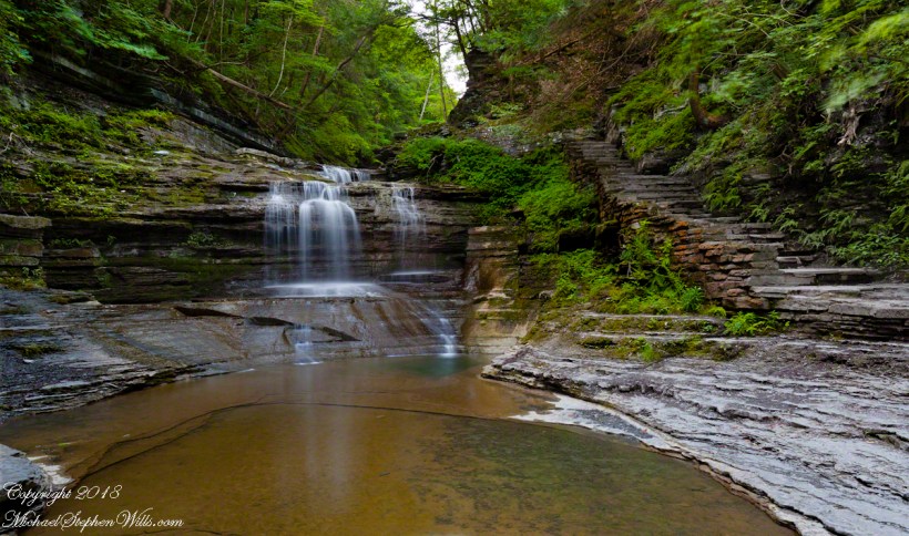
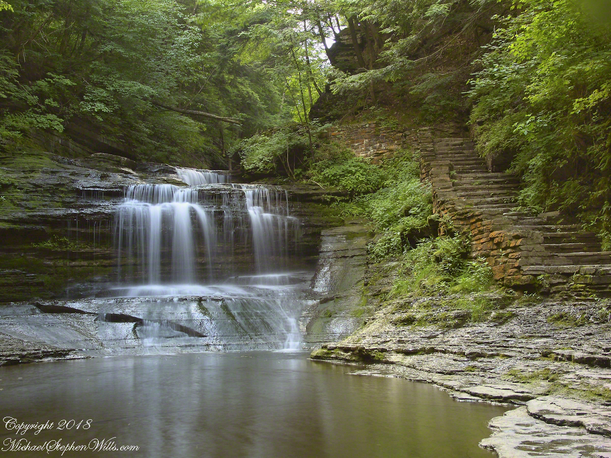
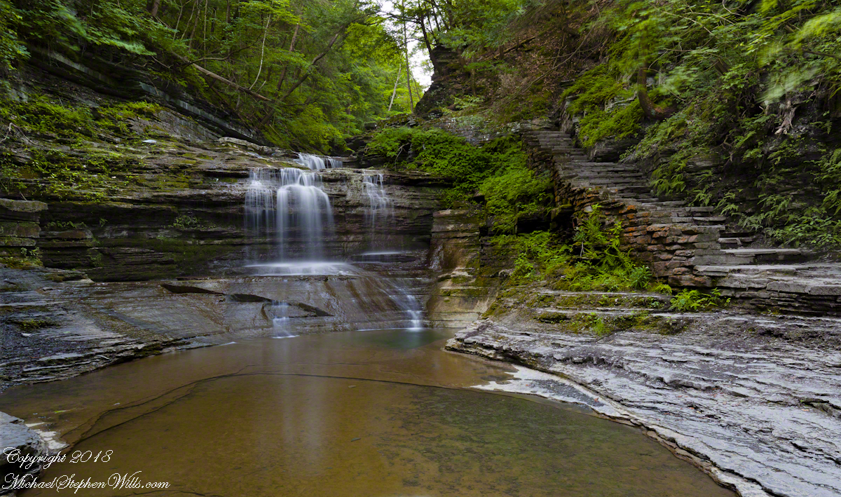
Early one Friday morning Pam and I joined a “James Potorti Memorial Gorge Walk” through Buttermilk Falls State Park where we learned interesting facts connected to one of my most successful photographs, “Summer Dream: Buttermilk Falls.”
Presented here is the original photograph from July 2004 and an second version, produced July 2018. Both were produced at a low flow after many days without rainfall. The first learned fact is a significant water source for Buttermilk Creek and all the Finger Lakes gorge creeks, is ground water percolating through the sedimentary rocks cut through by the running water. The beautiful fall of water seen here is possible because the creeks flow through periods of drought, a lower flow creating these gentle cascades.
Click either photograph for a larger view.
“Summer Dream, Buttermilk Falls -2004”
pH
Secondly, because Finger Lakes sedimentary rock formed beneath warm, shallow seas 400 million years ago, water percolating trough the stone acquires soluble carbonate (calcium carbonate, Ca CO 3), an chemical imparting basic (as opposed to acidic) properties to the water. This characteristic buffers the water protecting us in the Finger Lakes from the effects of acid rain. When the pH of rainwater falling on the Finger Lakes is measured, it is acidic, falling below 5 on the scale. pH is a measure of reactive hydrogen in water, the more hydrogen the more acidic. Neutral pH is a 7. The water flowing in Buttermilk Creek is consistently around 8, in the basic side of the scale.
“Summer Dream, Buttermilk Falls – 2018”
James Potorti was a native of Ithaca who perished at 52 years of age in New York City on September 11, 2001 were he worked on the 96th floor of 1 World Trade Center.
Copyright 2022 Michael Stephen Wills All Rights Reserved
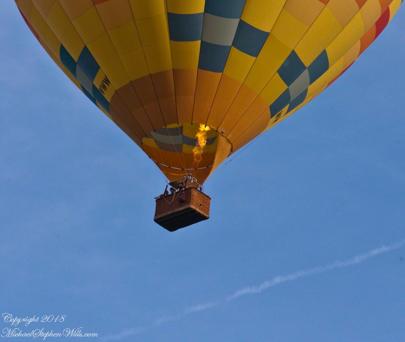
Whoosh….whoosh. Taking out the garbage Monday evening, July 15th, 2019 I heard the unmistakable sound of a liquid propane burner. As the propane is gasified and ignited, the flame and exhaust are directed into the balloon, all under control of the human operator. What a sound!!
These past years, hot air balloons started launching from West Hill and, when the breeze (balloons never launch in winds, as far as I know) is right the balloon and gondola full of passengers drift in the direction of our home. More than one time, directly overhead, I estimate 200 feet away. We could clearly see and converse with the passengers. What fun.
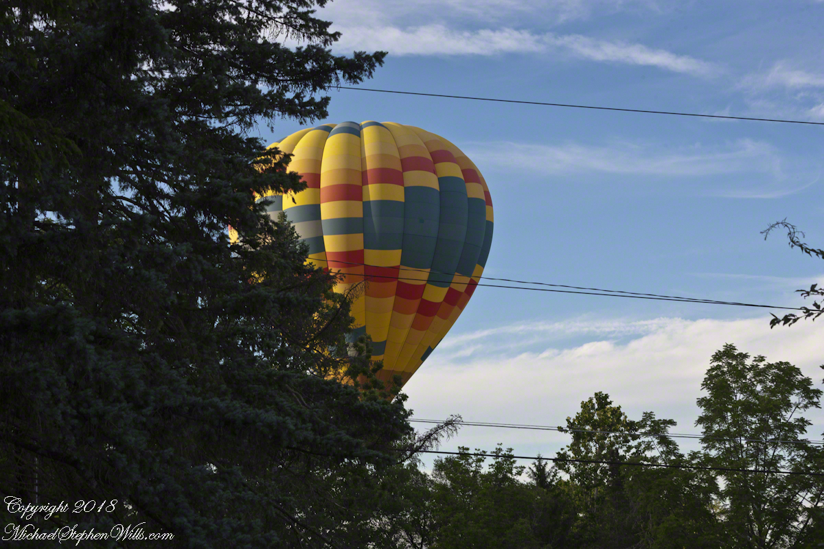
Each previous viewing I regretted not filming the balloon as the vision floated away. Last Monday, I dropped everything (not literally, I did leave the garbage in the bin), mounted the Canon lens EF 70-300mm f/4-5.6L IS USM on a EOS 1Ds Mark III body, returning to the north side of our property as the balloon emerged from the trees, only the envelope visible.
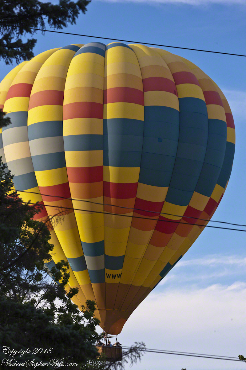
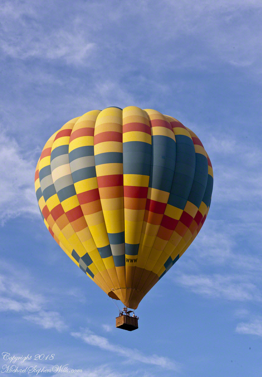
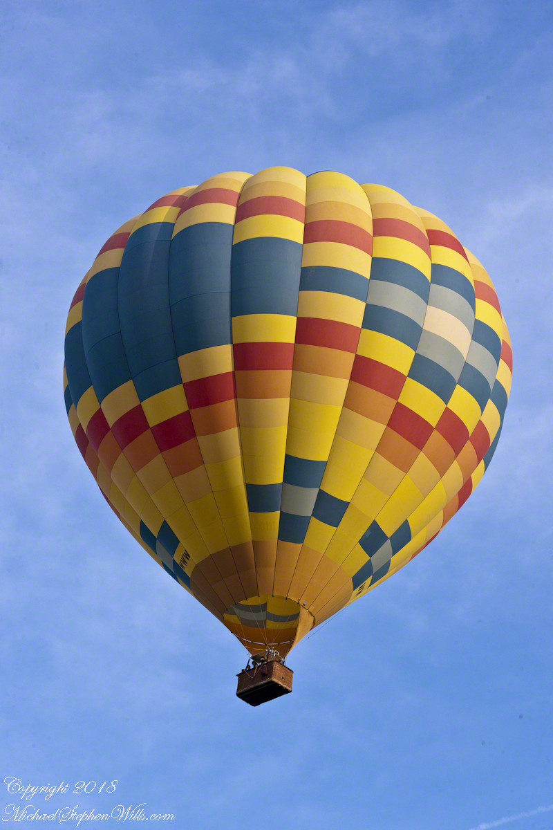
We have enjoyed this balloon before, the envelope pattern evokes a classic Navajo Rug, the colors really pop against the blue sky.
Why the Whooooosh?
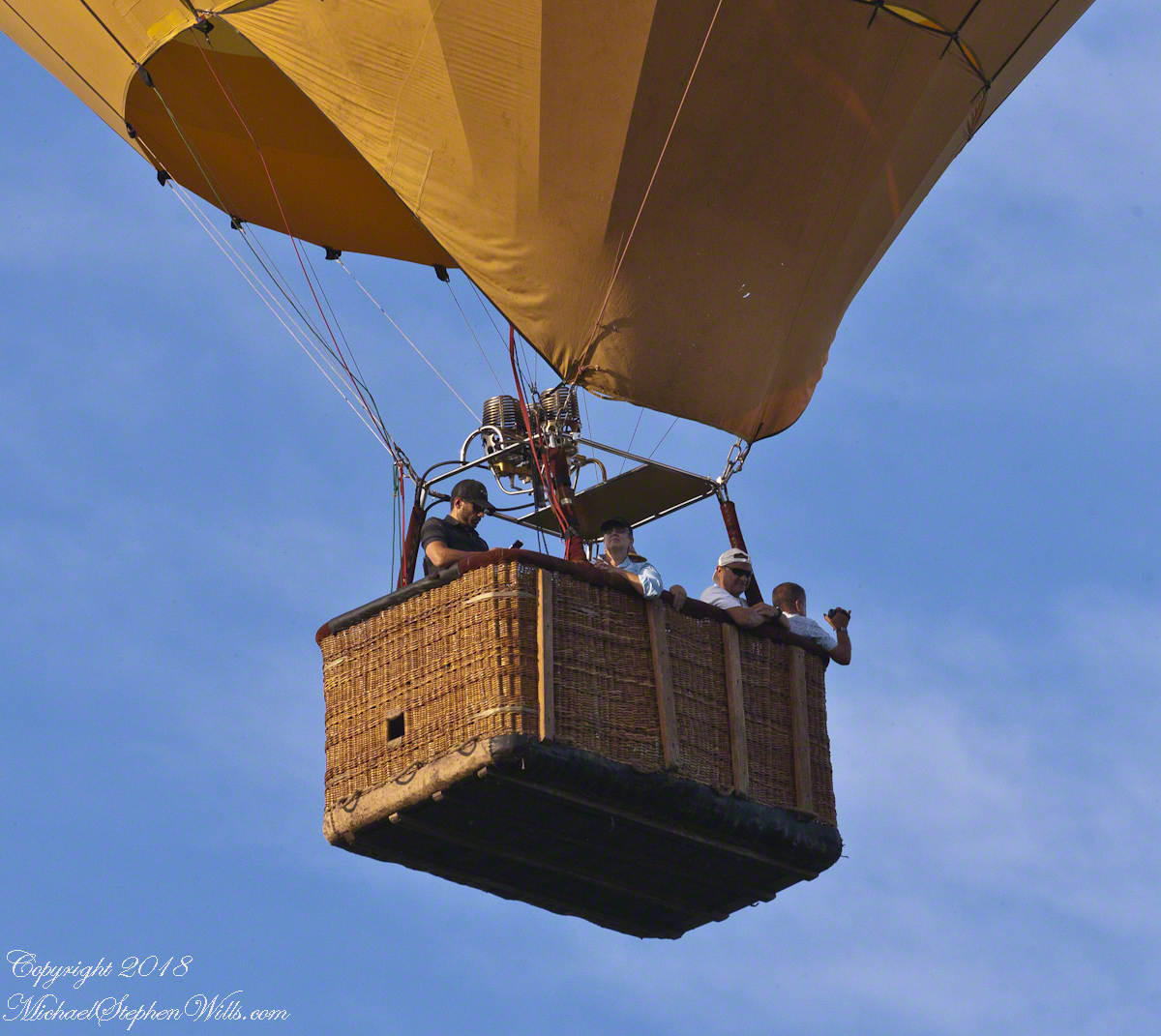
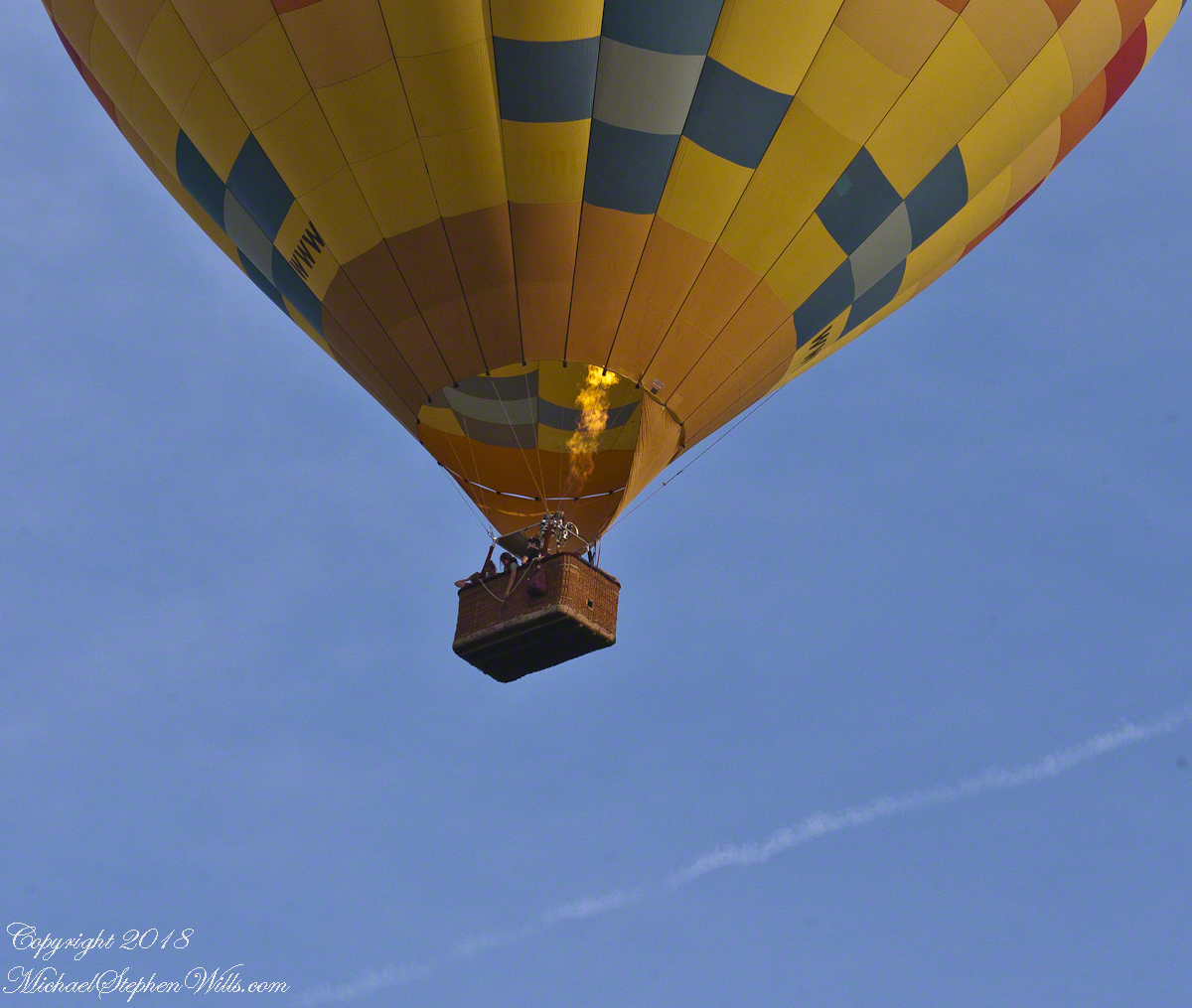
Tourists and local residents pay $230 per person for the experience of floating silently over Finger Lakes landscape with a launch from Trumansburg, ending up over Ithaca, in its valley surrounded by hills. Cayuga Lake is visible the entire flight, to the east, then northeast as the path reaches Ithaca. As they approached the balloon elevation was not so high relative to our home. You can see this clearly in the first photograph. With the zoom on 300 mm I was almost able to look into the basket, each of the four riders (the operation, looking at a cell phone, and three passengers) was recognizable.
There are three propane burners, two in front and the edge of a third just visible between the front pair.
Ethereal silence and reveres are broken when the burner lights up. Here it appears only one burner is running, sending the craft high above us.
Seven of the forty images are shared here. The duration was three minutes. With a goal of capturing the action, I had the camera on burst mode, with the shutter pressed the exposures run serially, in close succession.
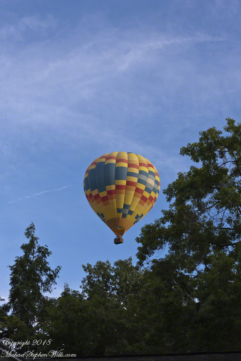
I perfected these seven photographs to represent the perfection of this colorful event as it passed from the northwest, disappearing in the tree line to the southeast.
I am listening for the next event, camera and lens ready.
Post script….it was my usual early morning blogging time when I heard the familiar Whooooosshh, whoooosssshhh, grabbed my IPhone for a video and captured the following. You will hear the gondola occupants chatting. The burner was turned on at 1:03 when the balloon was fairly distant. The Whoooosssshhhh is low, but audible.
Today, they were headed North/Northwest in the opposite direction from Monday and are backlit. Enjoy!!
Copyright 2022 Michael Stephen Wills All Rights Reserved
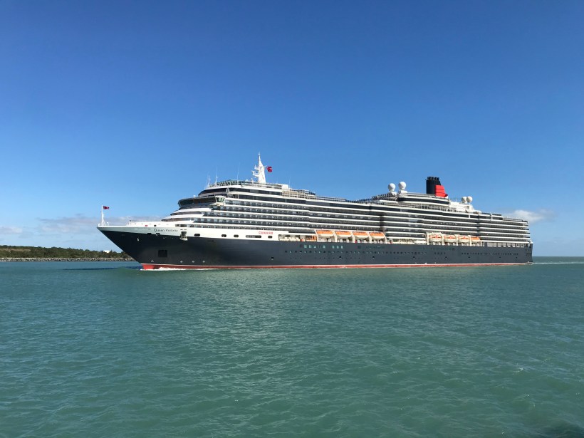
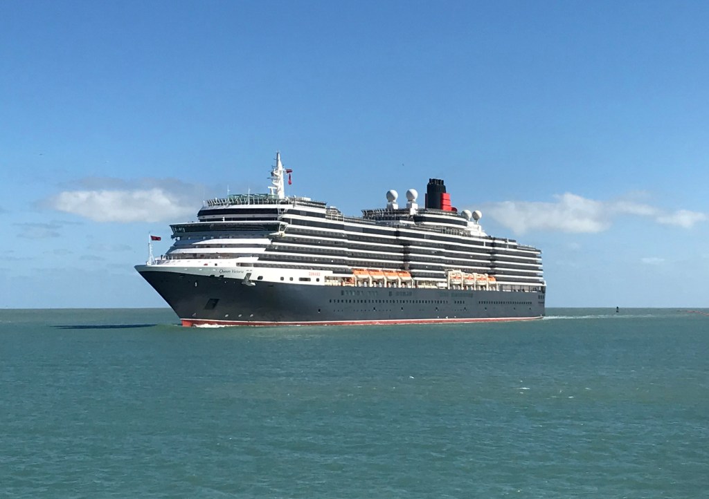
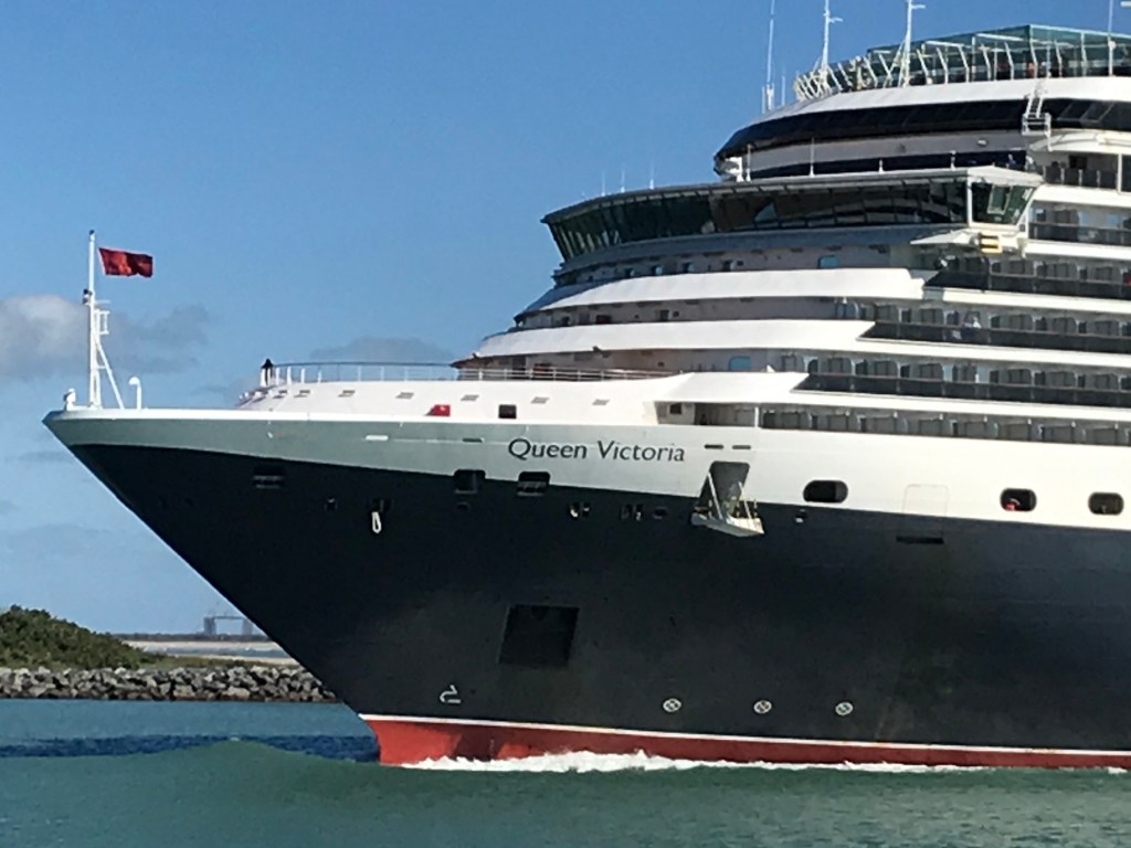
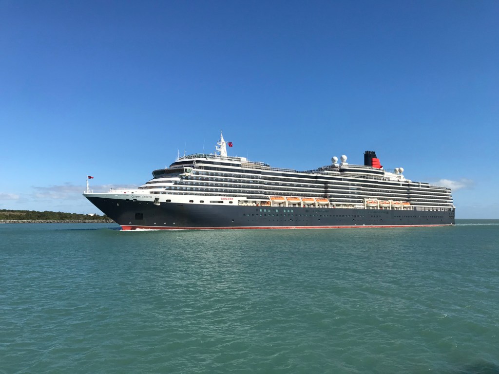
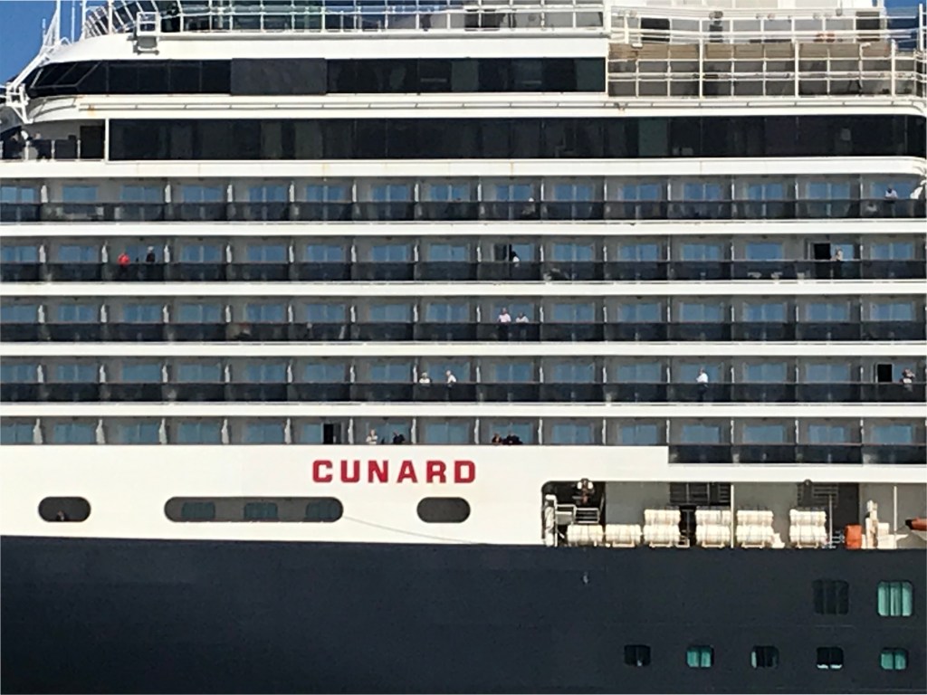
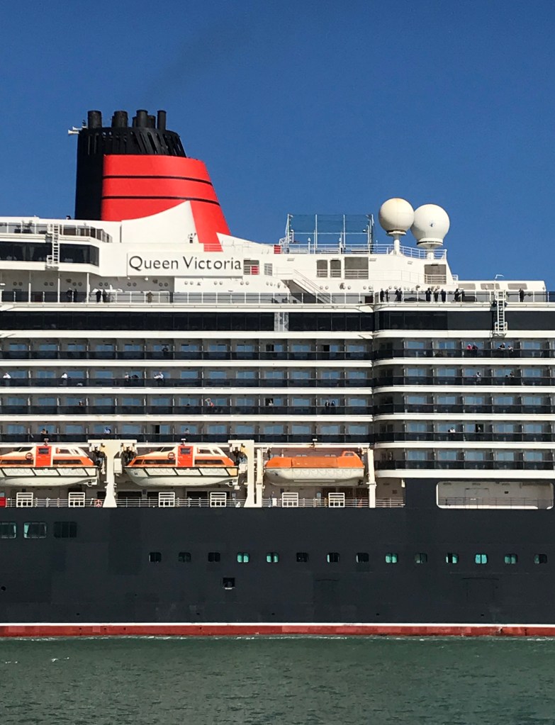
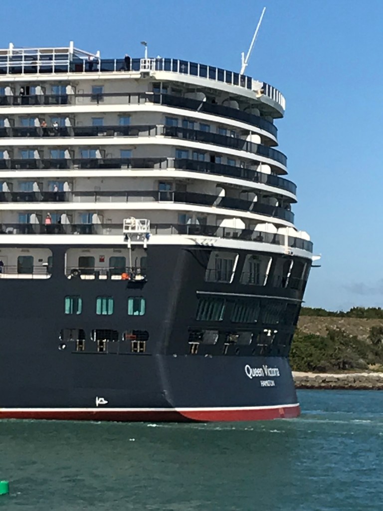
Pam and I walked from Cheri Down park this morning of February 2020 to Jetty Park where we were fortuitous witnesses to the arrival of the Cunard ship Queen Victoria on an 84-day cruise around South America.
Click video to start. To do this from WordPress Reader, for best results first click the title of this post to open a new page. Ditto for the photograph
I used my IPhone 7 to capture the event. Understanding the context of a ship’s arrival opens a whole new world. Standing on the pier I researched the voyage.
Here is the list of ports on the itinerary. These include the Caribbean, Central America and many of the same ports visited on the 2016 Oceania cruise Pam and I enjoyed from Lima, Peru to Buenos Aires, Argentina.
Life for me changed September 1971 with my matriculation at the University of Arizona. The next five years (4 for a BS degree and 1 year dietetics internship) were busy with study and supporting myself leaving minimal time for travel. Then came 27 years of work and family until in my 49th year of life, with the graduation of my son, Sean, from college planned for January 2003, I anticipated having time and resources to see more of the world. The Arizona postings here flowed the outcomes of this decision that spanned the years 2003 through my Mother breaking her hip just before New Years Day 2009.
Click the links for previous Arizona postings related to the post text.
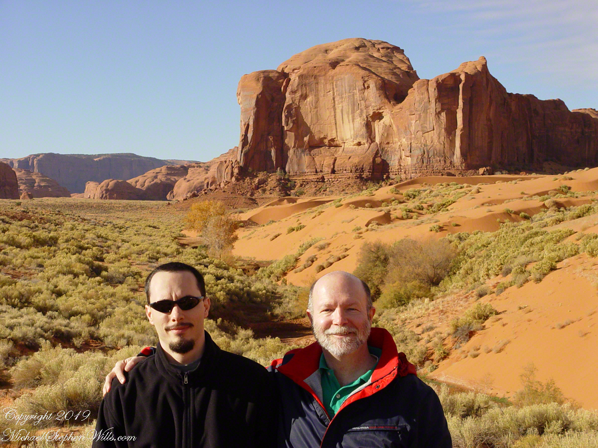
November 2003 saw our first Arizona tour. Sean was scheduled to be home from USS Observation Island. He served as an engineering officer working for Maersk contracted by the US Navy to operate the ship. We flew into Phoenix and headed north for a tour of the Mogollon Rim onto Winslow, the Painted Desert, Canyon del Chelly, Monument Valley, the Grand Canyon South Rim, the western edge of the Painted Desert north of Flagstaff to finish up at University of Arizona Homecoming.
Homecoming 2003
My 2003 homecoming schedule including a meeting with the head of the Department of Nutrition Sciences, Dr. Houtkooper. We talked of ways to re-connect with the University, leading to an invitation to serve on the College of Agriculture and Life Sciences (CALS) Alumni Board of Directors beginning November 2005. From then until November 2008 I flew to Tucson two to three times a year for planning and educational meetings: planning fund raising activities, learning how CALS benefits and connects with the people of Arizona.
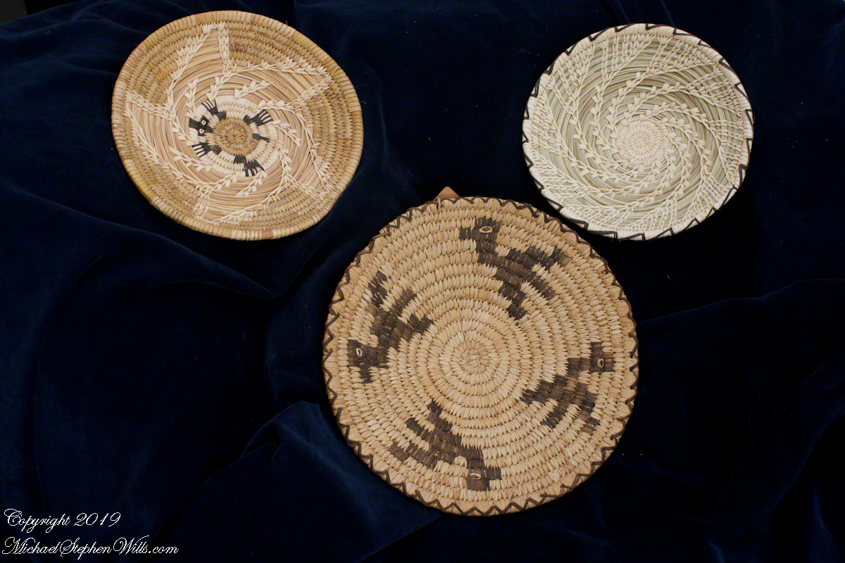
These baskets from our home are reminders of my original Arizona connection and of one story of re-connection. The larger, birds, design is from my student years from a first trip to Kitt Peak. It was a gift to my parents and for decades was in their china cabinet, I’d see it each holiday visit and recall driving desert with friends, the road up the mountain, seeing the newly constructed Mayall Telescope building loom over us, the smells and views of the Sonora desert.
Meeting Native American Artists
Working for the CAL Alumni Board the first time, November 2005, I had an idea to approach Native American artists for donations of their work for student scholarships. My first outing to meet artists was to an event at the Saguaro National Monument, west of Tucson, where I met Olvera and Simon Valenzuela. They were a happy couple devoted to continuing a tradition of basket weaving. Olvera was the youngest active weaver from generations of Tohono O’odham women. Her husband, Simon, a Pascua Yaqui, learned weaving from Olvera and her family. I purchased the turtle basket, upper left, and obtained contact information.
Click either photograph for a larger view.
From the bottom clockwise. Birds by Anmelia Juan of Geawuk (Kitt Peak 1972), Turtle by Olvera and Simon Valenquela (Sqguaro National Monument 2005) Stars by Simon Valenzuela for hsi daughter Pasquala Valenquela 16th Birthday (2018). Simon is of the Pascua Yaqui tribe who Learned basketmaking from his wife’s family.
Over the course of months, communicating with Arizona contacts, I came to the conclusion donations by Native American artists was not a sustainable model for financing donations. The individuals were not prosperous enough and there were too few of them. Instead, during the travels documented here, I made contacts. In the Chiricahua National Monument I met Linda Kelly the owner of Triangle T Ranch who donated stays there. The Searcher had a side farrier (care of horses feet) and donated services.
With the permission of Simon and family we started the Olvera Valenzuela Memorial Scholarship. The application is an essay on the subject: “A Proposal for Native American Cultural Conservation.” The qualified applicants are Native Americans enrolled at the University of Arizona College of Agriculture and Life Sciences (CALS) in a course of study leading to a baccalaureate. The designation “Native American” is defined for the purposes of these criteria as being a documented member of a North American tribe. It was an annual award of $500 to the successful applicant. To start I contributed $1,000 to fund it for two years.
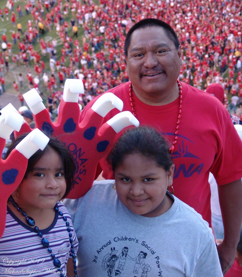
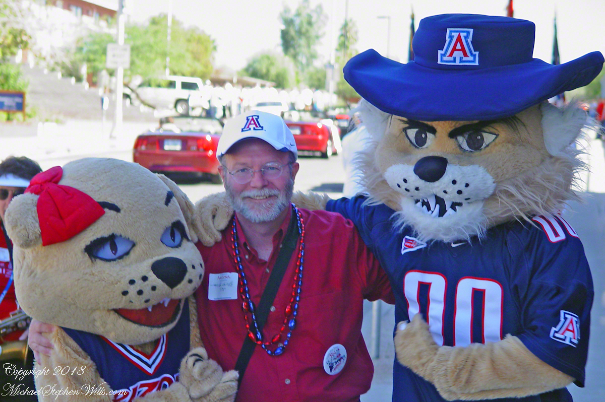
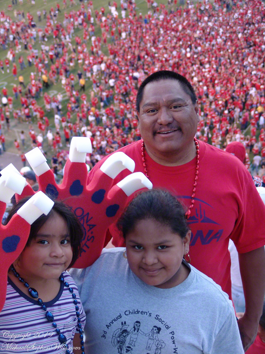
Over the next year, Simon and I contacted potential donors, but were unsuccessful in funding the scholarship beyond two years. In the meantime, when I visited Tucson for CALS board meetings Simon and I would do outings with his daughters. Here is one from the 2006 University of Arizona Homecoming football game. This is after the game, a win for the team, with the field covered in celebrating fans.
The third basket of the photograph, a stars design, was raffled to fun Pascuala’s sixteen birthday celebration in 2018 and I won!!!!
Cheers!!
Copyright 2022 All Rights Reserved Michael Stephen Wills
Driving to Cocoa Beach from Ithaca, Pam and I missed a horrendous storm because we did a side trip to Louisville, Kentucky, avoiding I95 January 4th and 5th and a rare and treacherous ice storm.
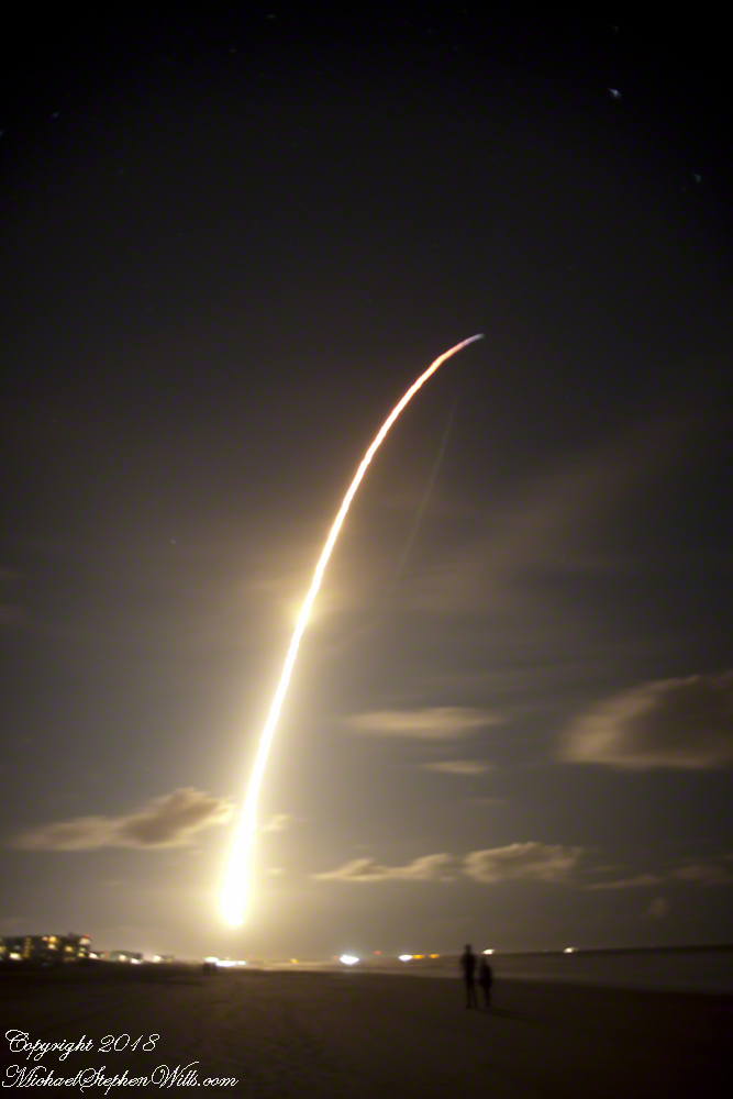
We met people who were stranded overnight near Savannah, Georgia while, on the same days, we drove Kentucky Hill Country for an overnight at Macon, Georgia all in excellent, dry, cold weather. The storm itself, was a stroke of luck. The first Space X launch of 2018 was delayed by the weather until the evening of Sunday, January 7th. I was in place, in the dark, on Cocoa Beach with my Canon DSLR on bulb mode, securely mounted on a travel tripod. My choice of lens was the 24 mm “wide angle.”
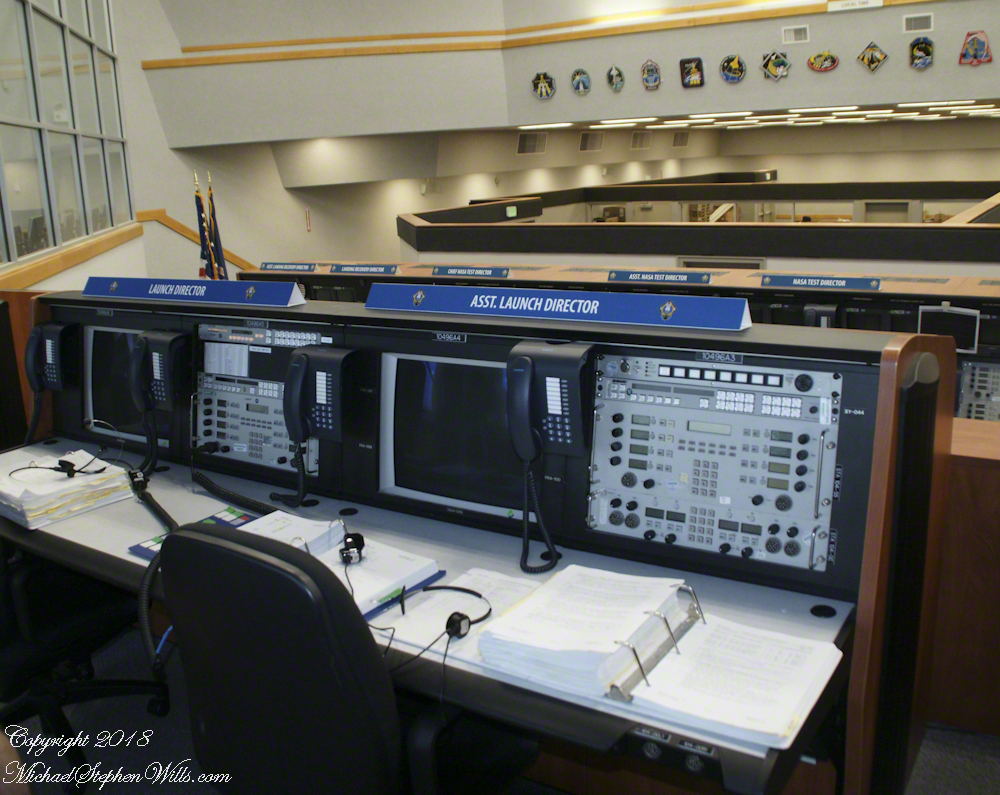
Proximity to the Kennedy Space Center is a reason we return to Cocoa Beach. A year ago, March 2007, we did the “Launch Director Tour” offered once a month (if at all) and had a fantastic day. I’ll need to blog about it.
For now, here is a shot from the former Space Shuttle launch room.
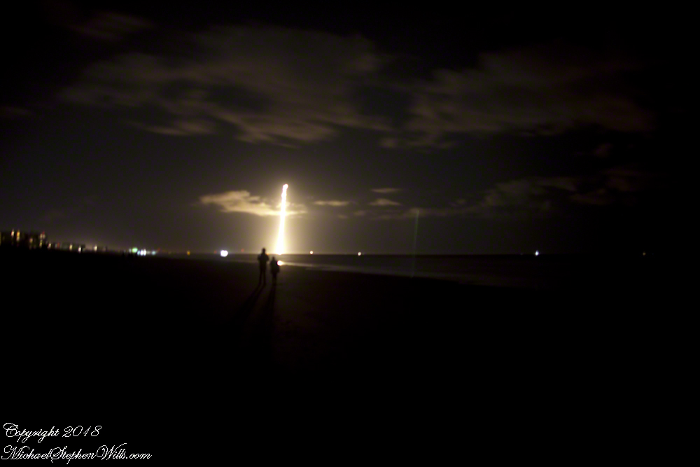
I planned camera placement well for this night launch. The view held the entire parabola of the trail. Camera placement was based on researching the launch complex, finding it on Google Earth, using the line feature to determine the orientation of the complex from my location on Cocoa Beach.
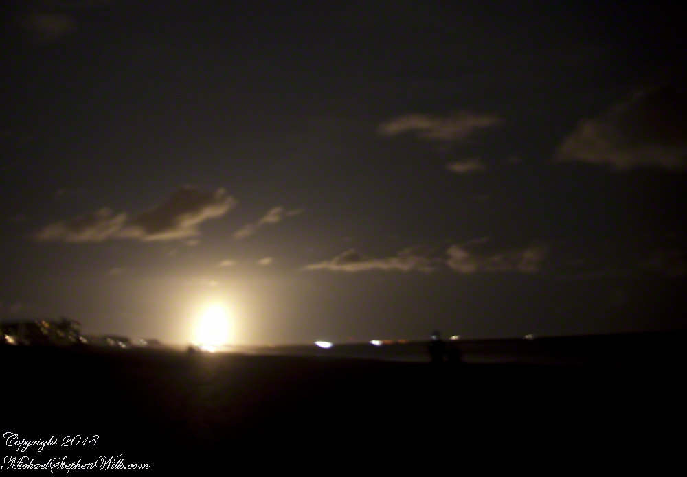
Live, the start of the launch is like a dawn in the northern sky. I broke off the exposure to somewhat capture the effect.
The human eye, only the Falcon 9 flame is visible, as a single point of bright light ever rising, lighting the beach and clouds in a soft glow.
The long exposure blends the flame into a bright parabola, at one point the rocket engines throttle back, eventually the color changed to reddish from bright white. I held the exposure until the rocket flame, in the image, turned to blue and faded away.
We waited for six (6) or so minutes, the camera mount and orientation unchanged, and then the incredible returning booster briefly lit up to land at Cape Canaveral Air Force Station. I missed the beginning of the burn. In retrospect, I should have timed the launch and opened the shuttle 5 minutes or so after “blast off.”
Followed by a TWO sonic boom finale. Kabooom….Kabooom.
We read in the news the secret military satellite, named “Zuma”, on top of the Falcon crashed into the Indian Ocean. SpaceX claimed the launch was a success (??), that the protective fairing jettisoned successfully. No mention was made of the secret payload. The failure was with the Northup Grumman built “Zuma” satellite? Hmmmmm.
Copyright 2022 Michael Stephen Wills All Rights Reserved.
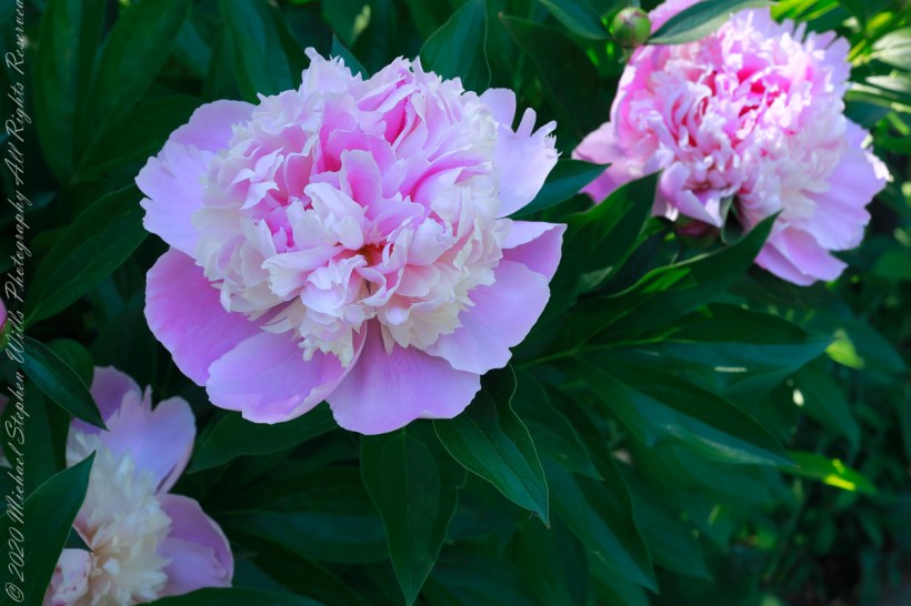
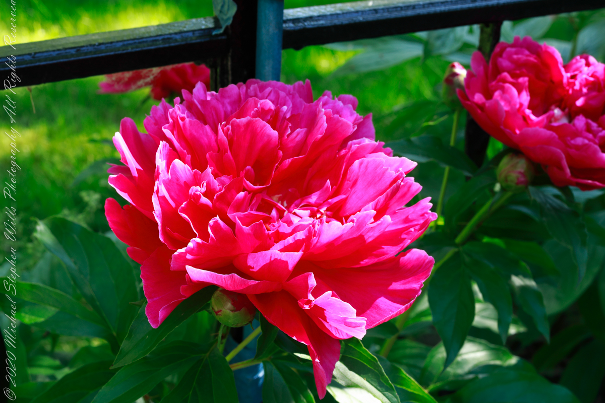
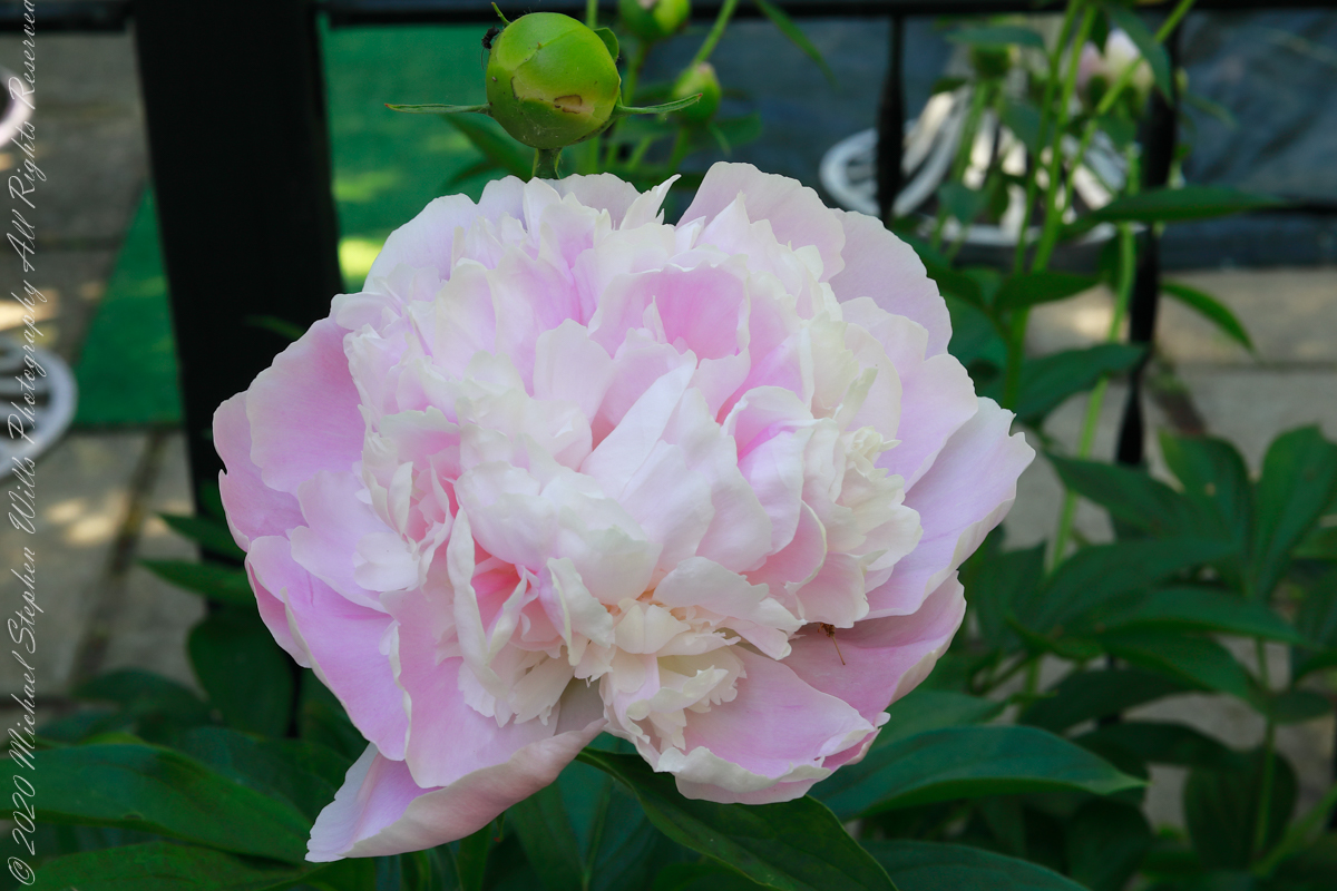
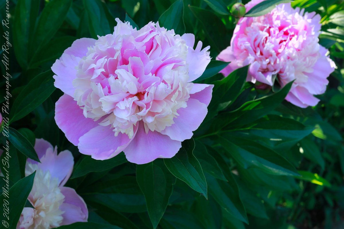
Peony species (scientific name Paeonia lactiflora) with plants that die back in cold weather to regrow each spring from a tuberous root are called “herbaceous,” from the latin word for grassy. The stems and branches remain soft and pliable, some stiff enough to hold the large, showy flowers. The first varieties introduced to Europe and named 1753 were white, “lactiflora” mean milk-white flower.
Reviewing my photography in preparation for this post I discovered not a single one for herbaceous peony, such was my interest in the woody varieties my in-laws planted around the property. Fortunately, they did not neglect the herbaceous varieties featured here.
These photographs were taken with a Canon EOS 5D Mark IV dslr and the Canon EF 50mm f/1.2L USM lens with a “BeFree” Manfrotto tripod with ball head. f-stop was tamped down to the maximum, f16 for this lens. Exposures were taken when the intermittent morning breeze abated.
Click any photograph for a larger view to open in new browser tab.
Paeonia lactiflora, in the family Paeoniaceae, contains around 30 species in Europe, across Asia and in western North America growing wild in scrub and woods, often in rocky places or on cliffs. Most species in Eastern Europe, others in the Caucasus, central Asia, the Himalayas, and Japan, mainly on limestone, and a species in dry parts of California.
Peonies have long been cultivated for their spectactular flowers as well as for their medicinal preoperties, particularily in China
Reference: “The Botanical Garden” by Phillips and Rix, Volume I (2002, Firefly Books, Buffalo, New York and Willowdale, Ontario
Copyright 2022 All Rights Reserved Michael Stephen Wills
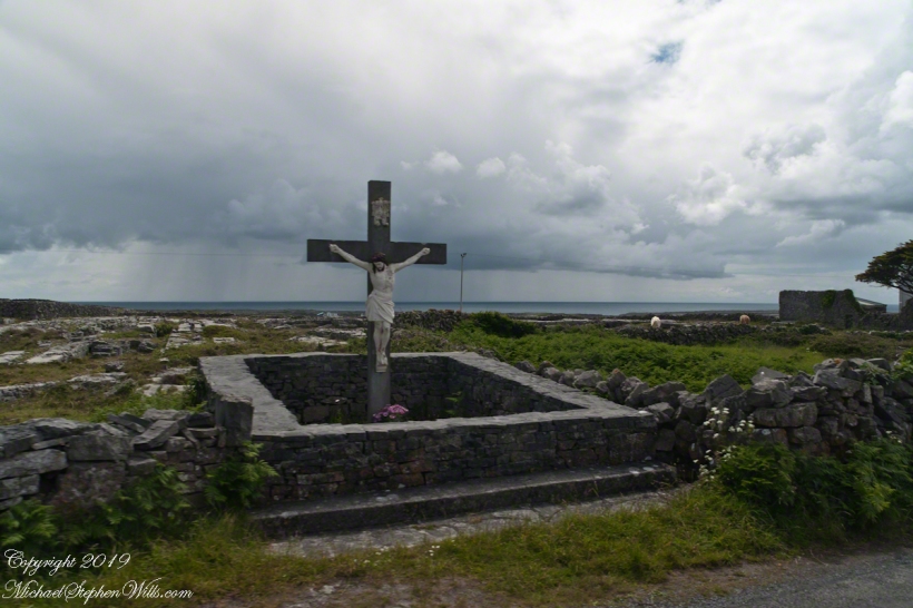
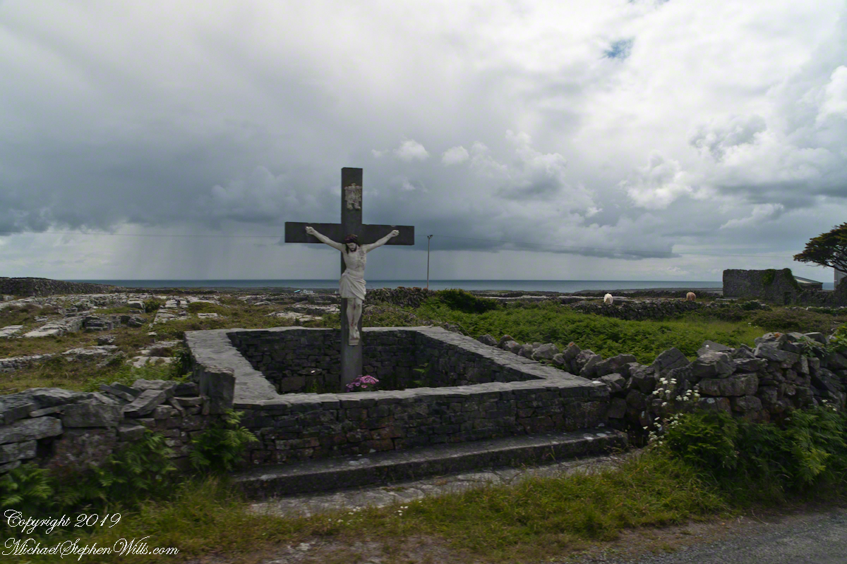
A roadside shrine on Cottage Road, Inishmore. The faith brought by the saints has deep roots here.
A large crucifix set with wet stone walls with cut flowers. The walls are the native limestone.
It is a spring (early June) afternoon and there are fern and wildflowers. The white flowers are Greater Burnet saxifrage (Scientific Name: Pimpinella major).
The existing dry stone wall was interrupted by the shrine. In the distance are dry stone walls around fields, a stone shed, feeding horses and the sea, being Galway Bay, storm clouds with distant rain.
Aran Islands, County Galway, Ireland.
Roadside Shrine and Island Landscape, Inishmore, Aran Islands, County Galway, Ireland
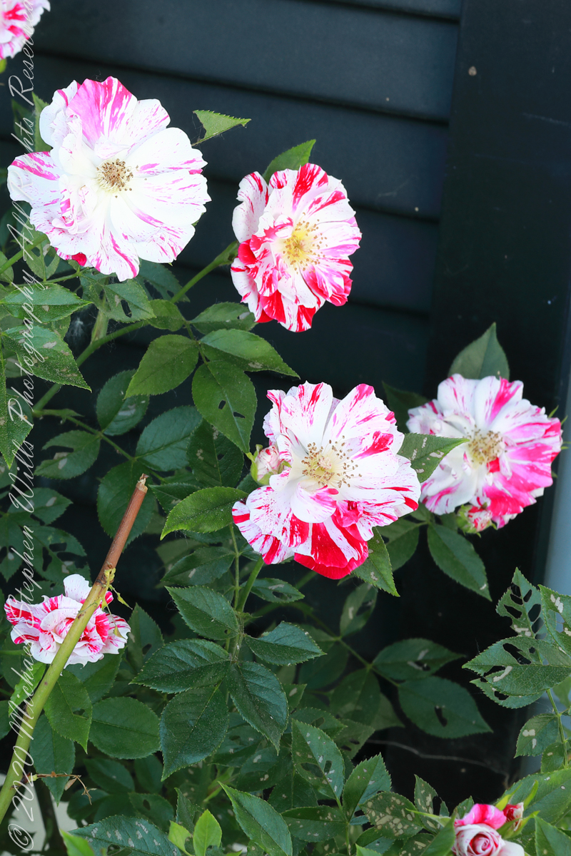
Pam’s father planted this rose on the east side where it is warmed wintertime by several hours of morning light when the sun is out. Extra attention is needed for watering as the roots are under a bay window and an awning.
1/6 second at F16, ISO 200
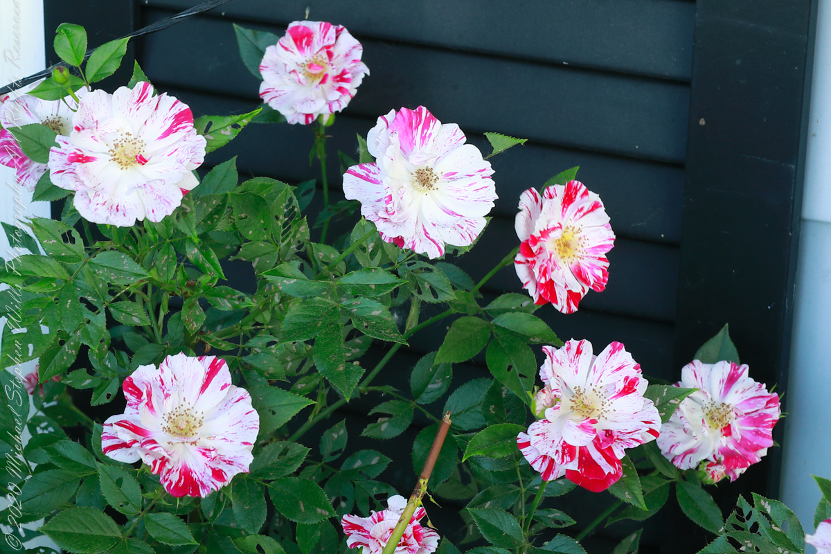
It is a miniature rose, the blooms about 1.5 inch across, this and the irregular red and white coloring reminds me of peppermint candies, so we call it our peppermint rose (not to be confused with the “Peppermint Rose” branded doll). The descent from wild rose is clear in the simplicity of the form. The number of flower petals identify it as a hybrid “modern rose: there are many more than five (5) petals of the wild rose.
1/4 second at F16, ISO 200
These photographs were taken with a Canon EOS 5D Mark IV dslr and the Canon EF 50mm f/1.2L USM lens with a “BeFree” Manfrotto tripod with ball head. f-stop was tamped down to the maximum, f16 for this lens. In spite of the light intermittent breezes I chose ISO 200. The combination of f-stop and low ISO resulted in a longer exposure that I worked around by waiting for the blooms to settle down between the breezes.
Copyright 2022 Michael Stephen Wills All Rights Reserved
Imagine yourselves in an open cart exploring the island. Here are the photographs from my Inishmore exploration posts. Enjoy!!
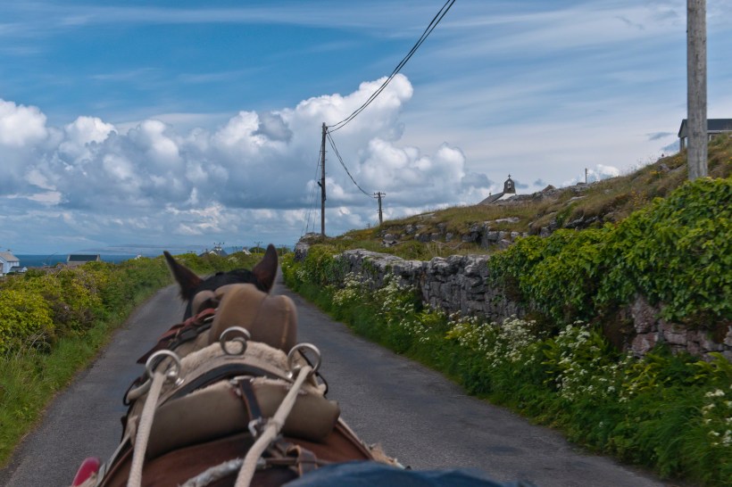
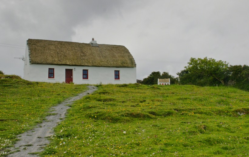
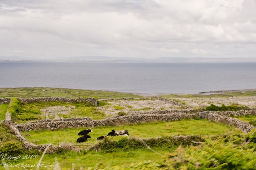
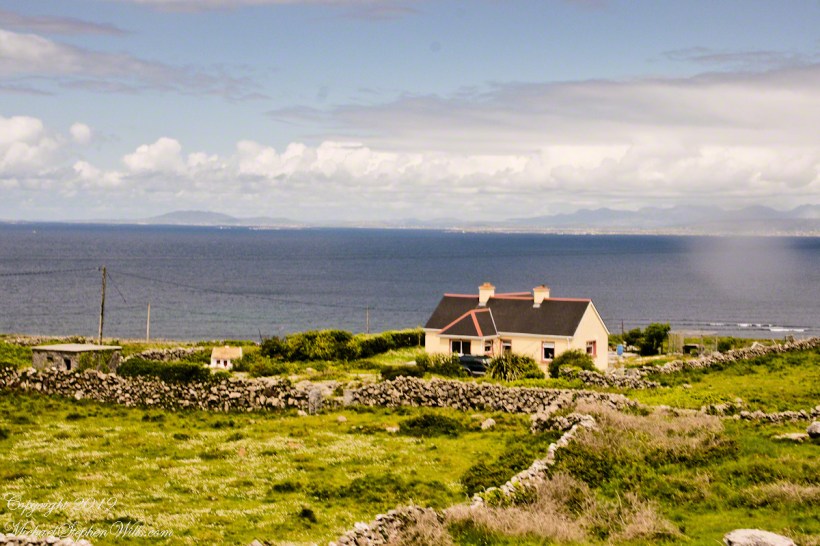
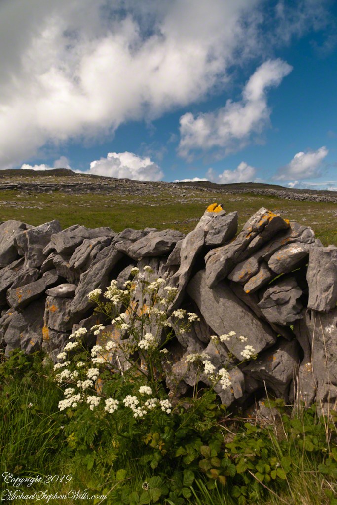
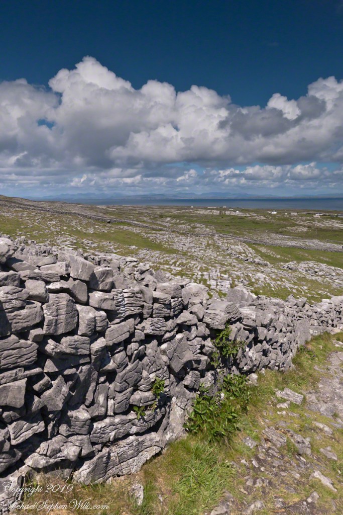
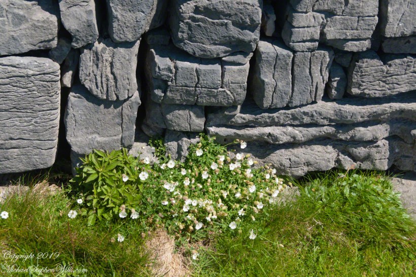
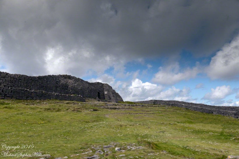
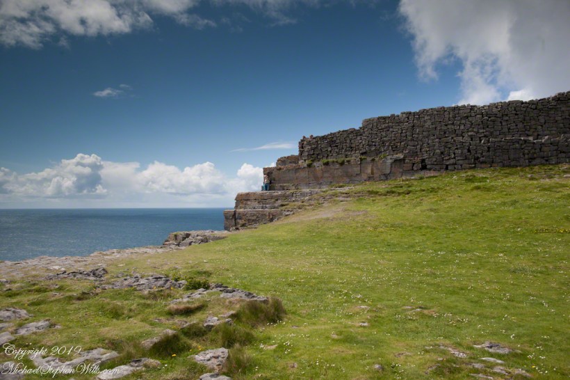
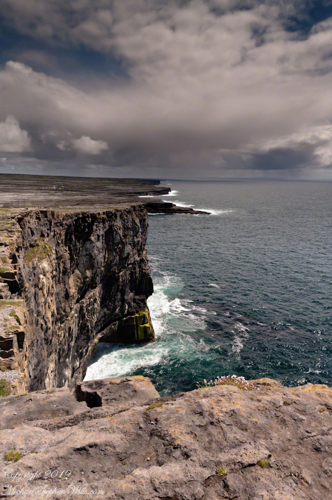
Kilronan bibycle hireView from a horse drawn trap headed down Cottage Road toward the village of Kilronan on a early June day, the island of Inishmore. On the right a stone ditch (wall), at the base the white flowers of Greater Burnet saxifrage (Scientific Name: Pimpinella saxifraga) (Irish Name: Ainís fhiáin). A steeple with bell and cross just visible. In the distance is the island of Inishmaan, the North Atlantic and Galway Bay. Aran islands, County Galway, Ireland.This ruined church is on the right side as you travel Cottage Road out of Kilronan Village, Inishmore, County Galway, Ireland. The distant highland is Inis Mann, across Galway Bay. A curious horse looks over a wrought metal gate set in a dry stacked limestone wall.Riding a horse and trap on Cottage Road from Kilronan village, Inishmore, Aran Islands, Country Galway, irelandThose bicyclists could have been us.This thatched cottage with matching child’s playhouse is on Cottage Road out of Kilronan Village on the Aran island, Inishmore, County Galway, Ireland.Roadside daisies on Cottage Road out of Kilronan village, Inishmore, Aran Islands, County Galway, IrelandNorth view from Cottage Road overlooks walled fields, karstNorth view from Cottage Road overlooks walled fields, karstAn island cottage among fields along the Galway Bay coast, the twelve pins of Connemara beyond.An island cottage among fields along the Galway Bay coast, the twelve pins of Connemara beyond.We stopped for lunch and a present for my son, a sweather purchased from the woman who knitted it.SONY DSCThe view is looking southwest from the path leading to Dun Aonghasa in springtime. We see here dry stone wall of limestone laid in a pattern suggestive of herringbone, splotches of orange lichen mark the stones. Against the wall is growing a variety of plants. The prominent white flowers are Greater Burnet saxifrage (Scientific Name: Pimpinella major) (Irish Name: Coll an dromáin). Beneath are leaves of Wild Strawberry (Scientific Name: Fragaria vesca) (Irish Name: Sú talún fiáin) as well as fern and grass. Beyond the wall is karst landscape rising to the ridge. Above the ridge, storm clouds gather. Inishmore, Aran Islands, County Galway, Ireland.This defensive structure called a Cheval de fries field surrounds Dun Aonghasa (Dun Aengus). This northwest view looks across the field and surrounding defensive walls. It is an early June day and, in the foreground, are colorful wildflowers among the limestone shards and blocks. Inishmore, Aran Islands, County Galway, Ireland.Looking North, Northwest across the slopes below Dun Aonghasa (Dun Aengus), InishmoreWalled Path to Dun Aonghasa (Dun Aengus) with Island Landscape, InishmoreKarst landscape with Green Field and Clouds, InishmoreInishmore LandscapeKarst Landscape with Interior Walls of Dun AonghasaDetail of Dun Aonghasa Dry Stone Wall with White Flowers of SeaAncient Fort Entrance, Dun Aonghasa (Dun Aengus)Ancient fort wall with tourists and Cliff Edge of Dun Aonghasa (Dun Aengus)View east, southeast from the Cliff Edge of the Ancient fort walView east, southeast from the Cliff Edge of the Ancient fort walRoadside Shrine and Island Landscape, Inishmore, Aran Islands, County Galway, Ireland
Copyright 2019 All Rights Reserved Michael Stephen Wills
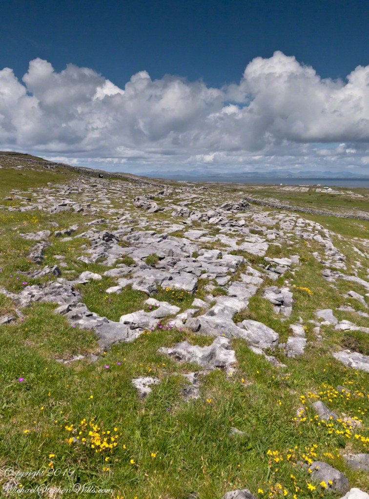
From the commanding location of Dun Aonghasa, looking northeast across Inishmore island, we can understand why the ancient builders chose this location.
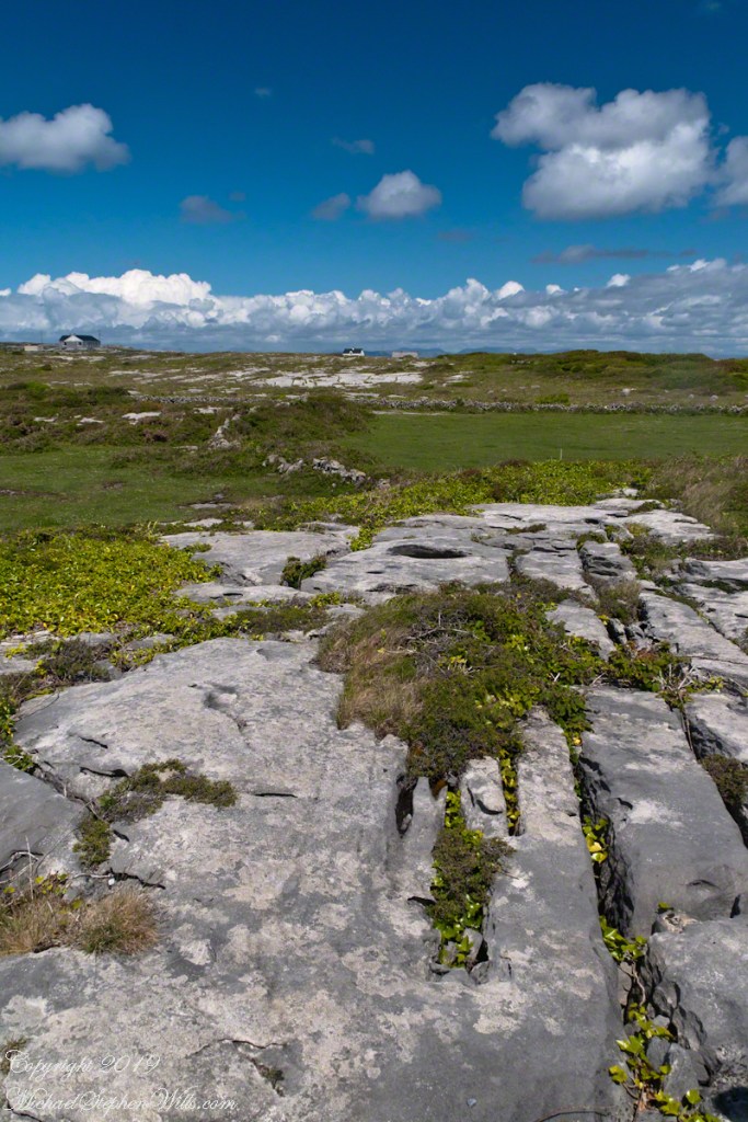
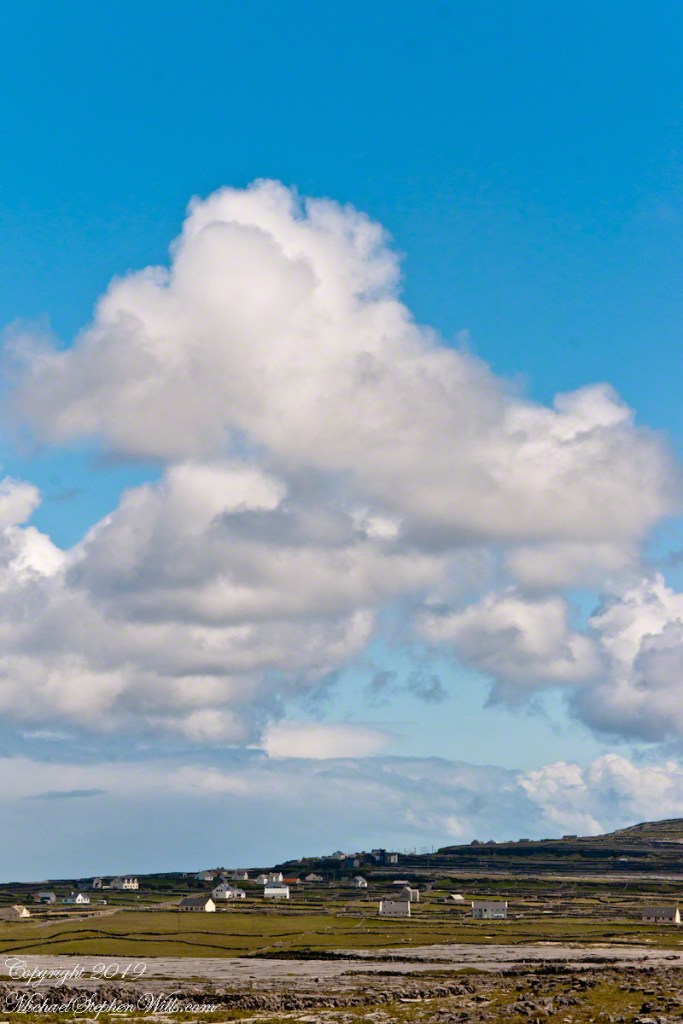
We also see the transition from exposed limestone to the fields built literally from the ground up (see my post “The How of Soil”). For a closer view of island houses see my posts “Settled In” and “Cottage Road Cottage.”