View shared by generations of newlyweds standing on a stone bridge across Enfield Creek. This is another version, taken a few years later and earlier in the season, Memorial Day morning.
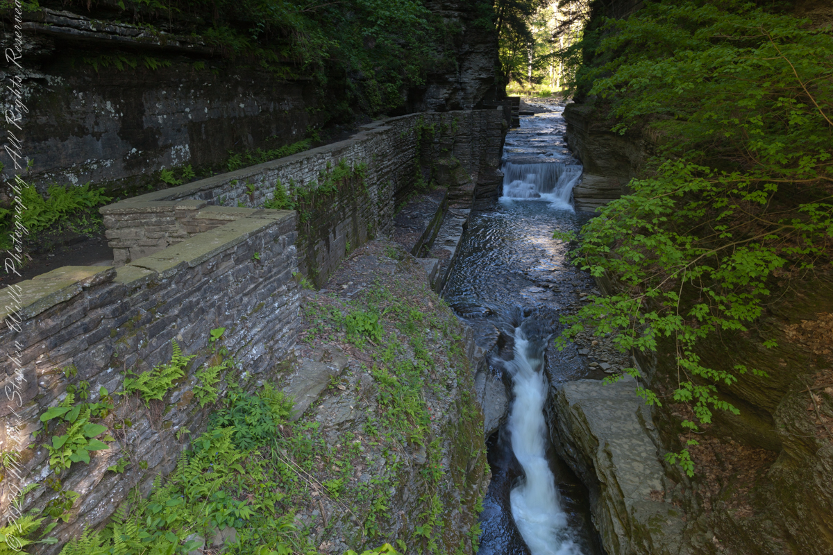
Here is an image having me rethinking my conclusions. Here, I combined two images and worked hours to make many adjustments. The resulting Tiff is four times the filesize of the Raw file from yesterday.
Here they are side by side. In this case IMHO the extra disk space and time are worth it.
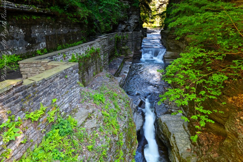
It is 8:30 am on a Memorial Daty morning Robert H. Treman Park, Ithaca, Tompkins County, Ithaca, New York,
P.S. I mistakenly published this post with a repetition of III in the title. Today, I changed it to “IV.”
Copyright 2023 All Rights Reserved Michael Stephen Wills
Winter 2020 I posted “Winter People Watching” featuring the Sony F828 and candid street photography.
What I love about this place, a unique feature, is the size and different vantage points making it possible to view the same place from different angles. November 2019, readers were shown “The Bend,” a place with Taughannock gorge makes a 90 degree turn, changing from a southeastern to an eastern flow. Here are photographs from spot overlooked by that post.
Here the camera faces away from the sun, the graduated neutral density filter allowing me to capture the cloudless blue sky, a little milky the way it is here February with a hint of spring.
The gorge makes a 90 degree turn, changing from a southeastern to an eastern flow. Here is am in the creek bed facing east.
This little one is studying the information placard with rapt attention, learning how the African continent, pushing against North America, across the eaons, formed the right angle fractures mirrored by this dramatic change in Taughannock Gorge. For the Big Bend photographs I was standing behind them, along the stream bed.
Here is a broader slice of that sky.
The gorge makes a 90 degree turn, changing from a southeastern to an eastern flow. Here is am in the creek bed facing east.
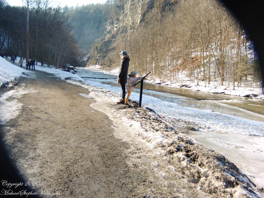
Can you see the tiny figures of hikers, dwarfed by the frozen cliff?
The gorge makes a 90 degree turn, changing from a southeastern to an eastern flow. Here is am in the creek bed facing east.
Copyright 2023 All Rights Reserved Michael Stephen Wills
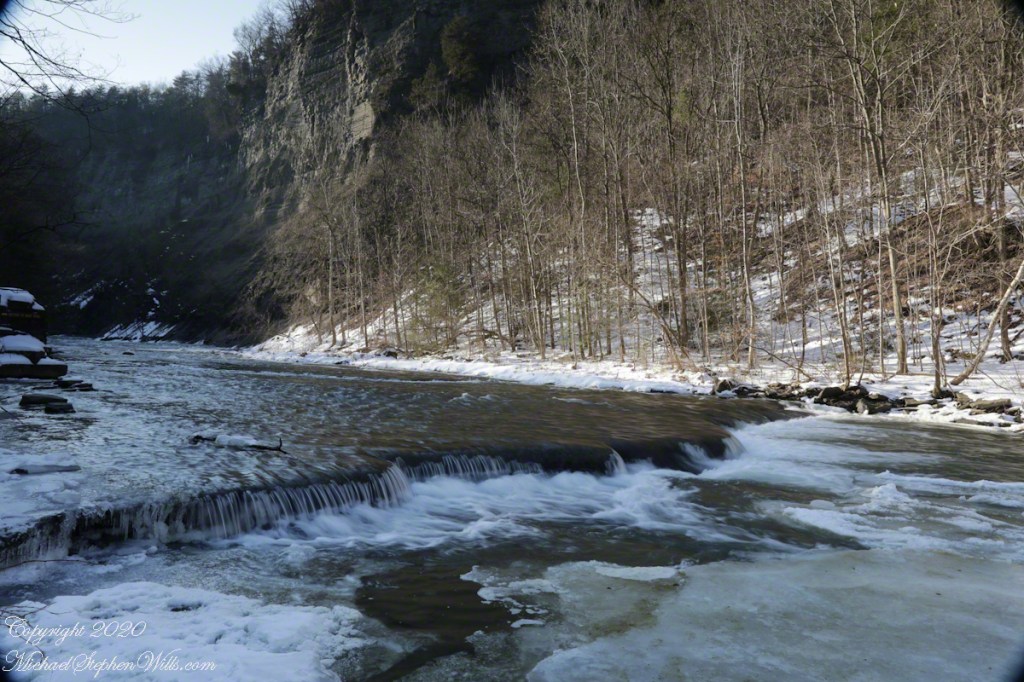
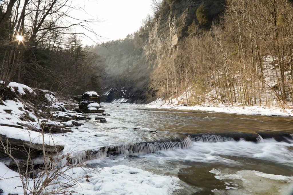
Purling of the water beneath this foot high waterfall was enhanced by reducing ISO to 100, tamping down the aperture to f/22 resulting in an shutter speed of 1/10th second. I set the graduated Neutral Density filter to shade the left side.
On the cliffs ahead is where the observation platform is cut into the rock. It has a great view of the waterfall, in some ways the experience of the falls is enhanced, compared to hiking the 3/4 mile path and standing below.
The Gorge Walls, hundreds of feet above the creek are very dangerous to stand below.
A marvelous forest grows on talus from the high gorge walls.
A sign on a disused pier warns waders to leave the creek bed. Ahead the gorge walls tower above the creek. Rocks dislodge and crash down unexpectedly, crushing foolish waders. It is appalling to see, in warmer months, people walking below those cliffs gathering the fallen rocks to make delicately balanced cairns.
Copyright 2023 All Rights Reserved Michael Stephen Wills
My dear wife Pam is the heart of Christmas in our home. Over the years we have collected a treasure of ornaments and knick-knacks she crafts into displays around our home. Pam completed the project well in advance of our grandchild holiday visits, before card writing and gift wrapping.
My contribution is a photographic time capsule. Here is some of my artistic output from this work.
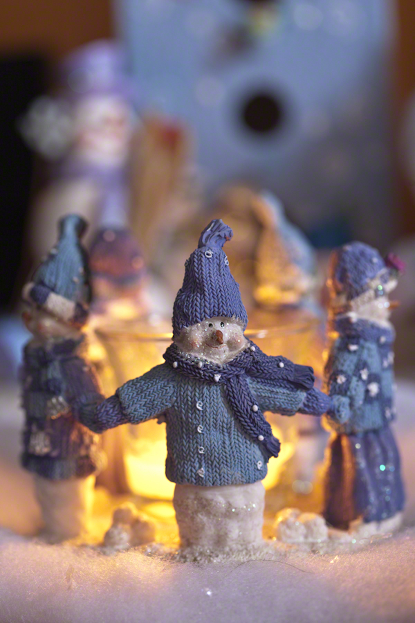
This grouping of five cozy snowmen (three males, two females) are warmly dressed in knit sweaters and stocking caps; the women with long skirts. The five hold hands in a ring, rising from a common platform. We place a cup and devotional candle in the center.
The tiny group evokes community, harmony, amity. I captured them with a Canon EOS 1Ds Mark III dslr, a fixed Canon EF 100mm f/2.8L macro lens mounted on a Manfrotto studio tripod and hydrostatic ball head. Fixed lenses provide the sharpest macros. The mounting allowed precise framing and use of the widest aperture and a low ISO. The light sources were sunlight from a large north facing bay window, a Canon Speedlite 600Ex-Rt and the candle. When used, the flash was angled in various ways toward the ceiling.
I start with a tight shot, maximum aperture. A single figure is in clear focus, the remaining gradually lost in the bokeh. The flash was used. I can almost see then circling around the candle in a winter wind.
Here the candle is lighted, aperture narrow to f8 using only the candle and ambient light (no flash). The group is visible within surrounding figures. I backed away and the viewpoint is higher.
The candle light enhances the perception of community.
Viewpoint is closer, still only the candle and ambient light. Aperture widened to 3.5. I must remove the hair in lightroom.
I backed off, aperture at the max with only the candle and ambient light. The figures are placed in a tableau with other snowmen and a structure, a birdhouse.
For this overview I swapped in a Canon 24mm f/1.4L II USM with a flash, aperture f2.2.
Christmas 2017 snowman display laid out in our den on top of the entertainment cabinet.
Copyright 2022 Michael Stephen Wills All Rights Reserved
In November 2004, a visit to Canyon de Chelly with guide Hadley Tsosie revealed ancient petroglyphs and ruins, highlighting Navajo culture and the canyon’s unique beauty.
On November 3, 2004 my son, Sean, and I made our way to Chinle, Arizona on the Navajo Reservation at the mouth of Canyon de Chelly.
The next day, driving a rented 4 wheel drive, we arrived at the visitor center, at dawn, and there met Hadley Tsosie who worked as a guide. This is how you do it, if learning about the Canyon is your goal. It is possible to walk, unaccompanied, into the canyon to view the “White House” and this I highly recommend. Tourists can also drive around the rim to various overlooks. This is what most people do.
The canyon is still farmed and the tribe only allows visitors when accompanied by a guide. Only Diné (Navajo) are certified as guides. They know the rights of way and the preferences of the landowners.
We negotiated with Hadley to take us for half a day for our interest in petroglyphs and ruins. It is important to start early when the sun is low in the sky, when directly overhead the details of ruins and petroglyphs are washed out by the light. Catching the late afternoon/evening sun is also an approach that requires detailed knowledge of the route, taking into account the time of year.
Hadley was an excellent choice, though he was our only option on that day. He was fluent in Navajo beliefs, the lore of the canyon and generous in sharing what he knew.
Here is Hadley, approximately 6.2 miles into the canyon with the “Ledge Ruin” behind. We arrived at the junction just in time, before the sun was high enough to wash out the ruin. It is slow going into the canyon what with the deep sand and water that must be negotiated. Hadley did the driving and was expert. We passed other parties bogged down in the wet sand. I do not believe it was luck that kept us moving . We stopped many times to talk and admire the petroglyphs and pictographs.
Petroglyphs are symbols incised, or cut, into the surface (the name means petro, “rock”, glyph, “symbol”). In the desert climate of the southwestern USA a thin, dark pigment forms on rock surfaces of overhanging cliffs. The pigment forms from infrequent precipitation, in the form of water, flowing downward over the surface or even dew. The high heat of the desert drives a chemical reaction between water, clays, iron and manganese oxide to form a coating on the rock surface. The dark coating, called “desert varnish”, contrasts with the underlying rock. When it is scraped away a line forms. Many of the petroglyphs were of this form. Others were carved into the rock itself, more time consuming and durable. No one knows when the petroglyphs were made, they were always there are respected. People have inhabited Canyon de Chelly for over a thousand years. The word pictograph has a different meaning when used to describe prehistoric art. The earliest writing were symbols incised in wet clay, then allowed to harden. The pictographs we viewed was prehistoric art, mostly white pigment on the red rock, outlines of hands. There were also kokopelli, the outline of a flute player and jagged lines, symbolizing, Peter told us, lightening.
In November the cottonwoods were in fall foliage, a brilliant yellow under a cloudless sky. The sun is lower in the south and rises later. The Navajo Reservation follows daylight savings time, unlike Arizona. This November morning the sun rose around 7:45 am, so if you are not an early riser this time of year is an excellent choice for a Canyon de Chelly tour.
A previous post, “Christmas Tableau”, provides some context. The photographs from that set were accepted by Getty for stock images. Click the link to take a look: “Cozy Snowmen” on Getty Stock.
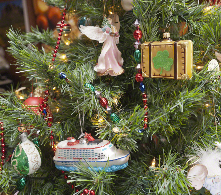
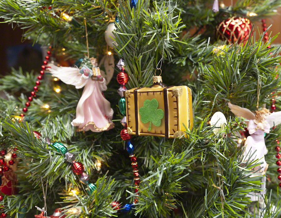
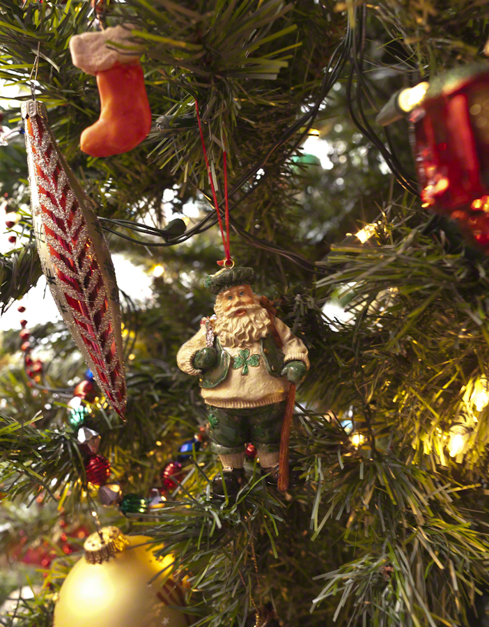
This is part of my project to document our Christmas memories through photography. Here we explore the Irish and Ireland themes of our decorated Christmas Tree.
Where would we be without Saint Patrick? He was a force, to be sure. A favorite story, is the landing of his return to the island 432 AD. The tides on the eastern coast of the Irish Sea can be strong. His plan was to sail up to coast further north than what we call today Strangford Lough. On passing this inlet the boat was swept into the lough tidal narrows. Circumstances called for a landing, rather than wait for the tide. Patrick came ashore where the Slaney River enter the lough and “quickly converted” the local chieftan, Dichu, who provided a barn for holding services. The name of the town “Saul” in Irish is Sabhall Phádraig, translated as “Patrick’s Barn.”
In this posting I’ll go lighter on descriptions of technique. Leave it to say I held to the Canon fixed lens EF 50mm f1.2L USM throughout. Some, like the photograph of Saint Patrick, used a tripod. Others, like the latter two of the following Irish Themed Cross set were handheld. Generally a flash was used to supplement ambient sunlight from a large north-facing bay window.
Here the “celtic” cross is converted to an Irish theme through a substitution of a shamrock with golden decoration inspired by pagan neolithic petroglyphs for the nimbus (circle) intersecting the central intersection of arms and stem.
For the first three I played with aperture, taking advantage of the stability of a tripod. The final two of the set are handheld.
Note the fanciful leprechaun snowman with pot o’ gold, on the left.
Blown glass Irish dancers.
“Travel memories”
the suitcase for our 2014 tour of the island and re-connection with family. Also a symbol of our ancestors travel across the Atlantic ocean to North America.
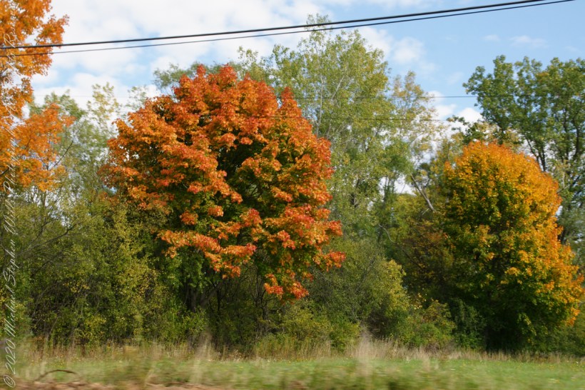
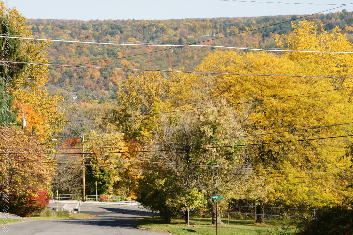
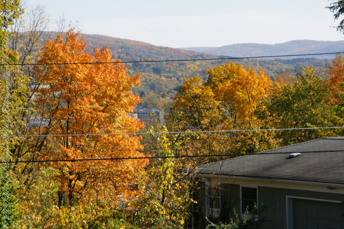
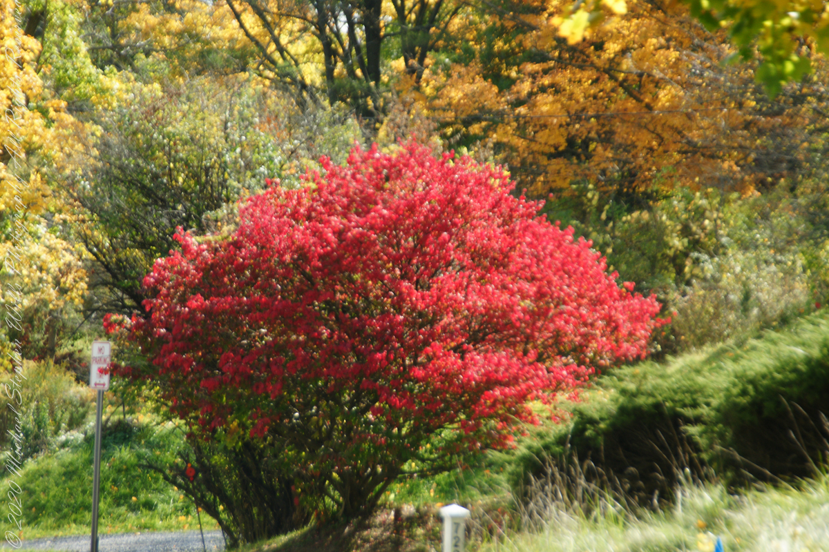
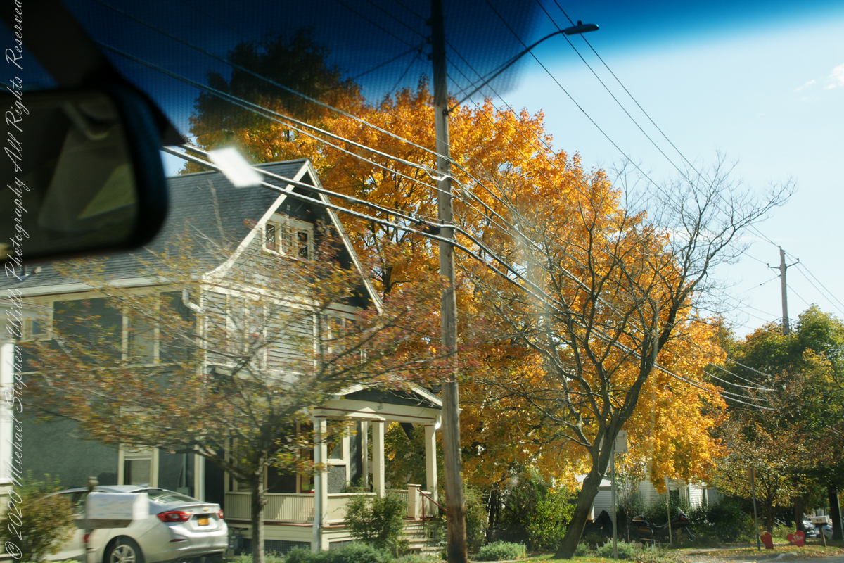
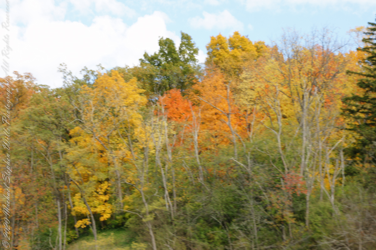
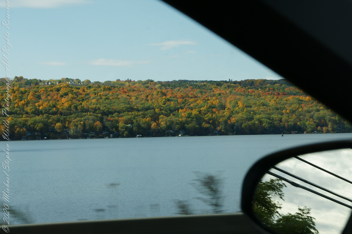
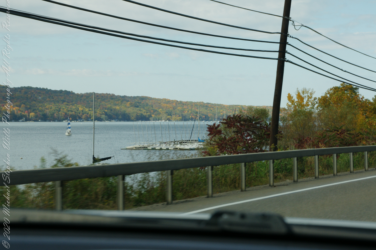
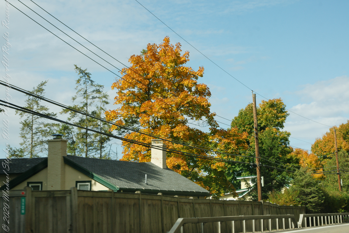
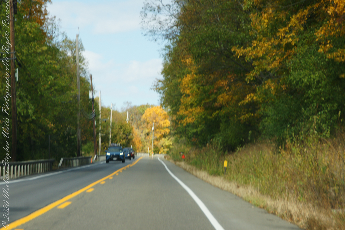
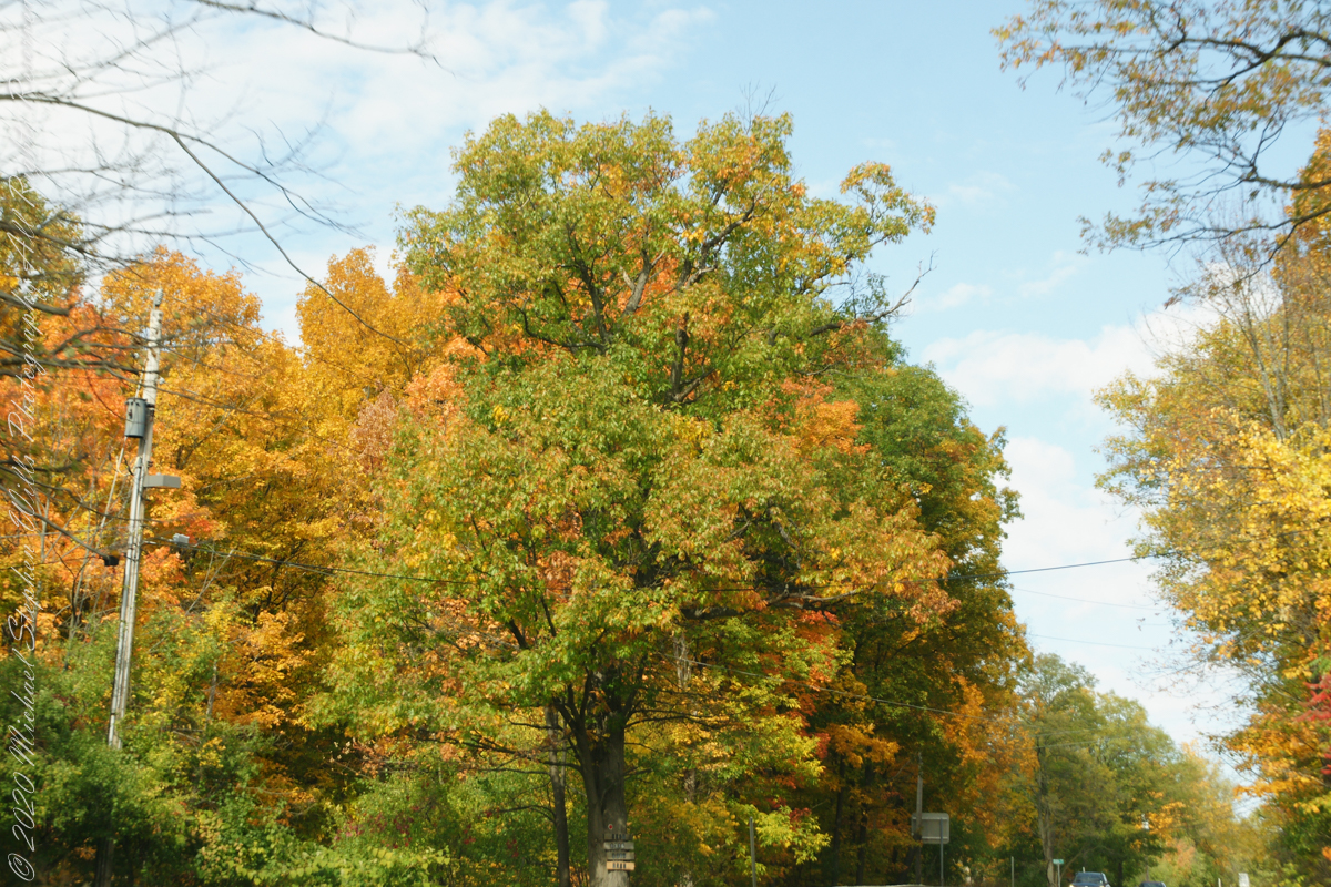
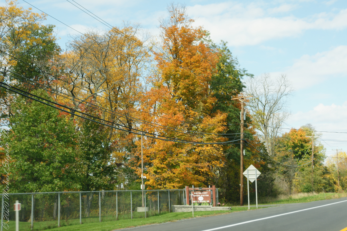
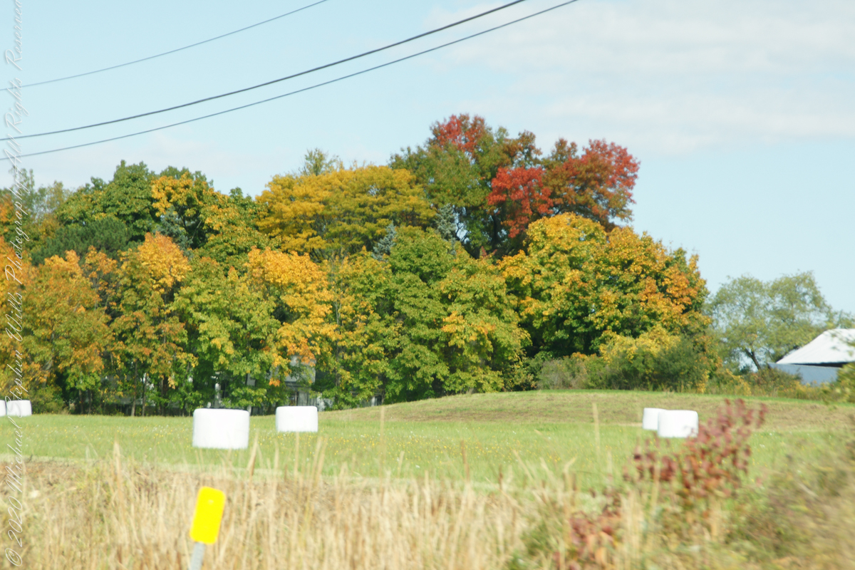
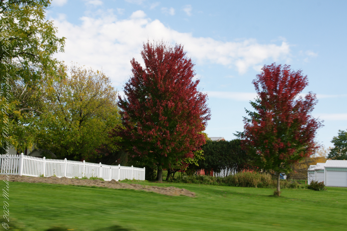
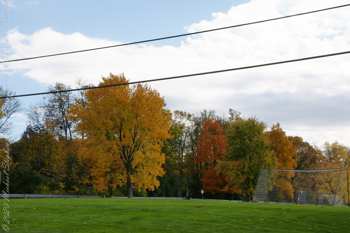
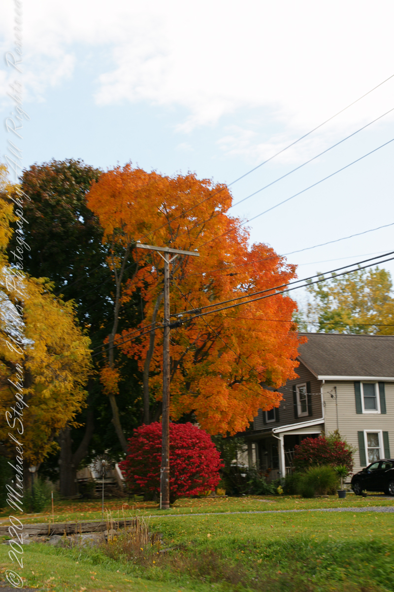
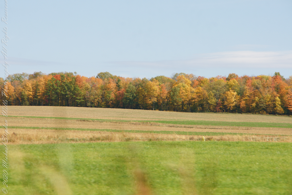
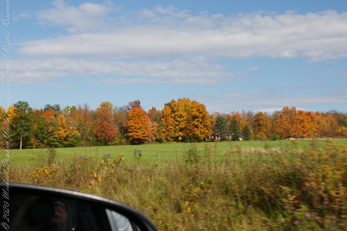
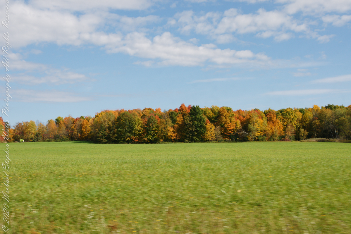
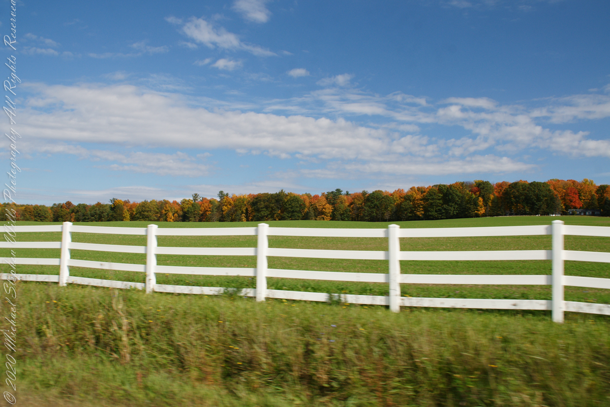
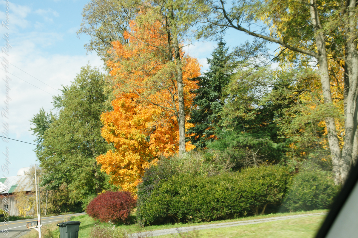
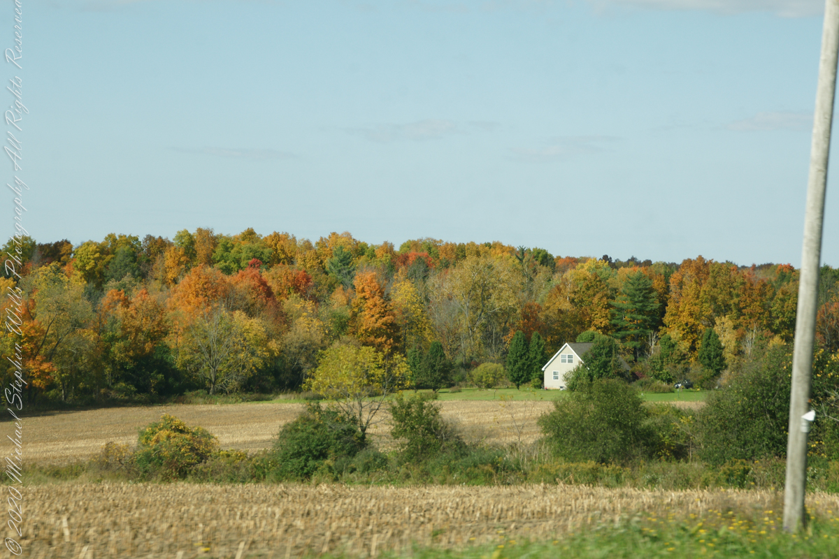
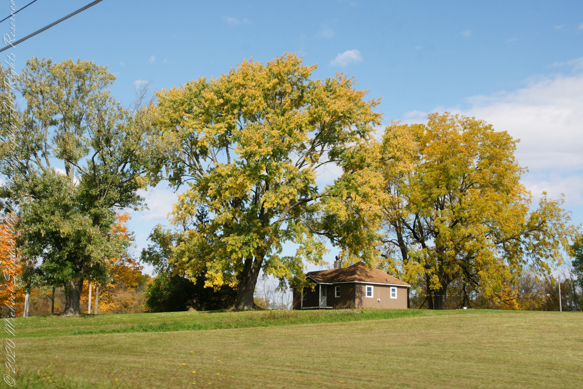
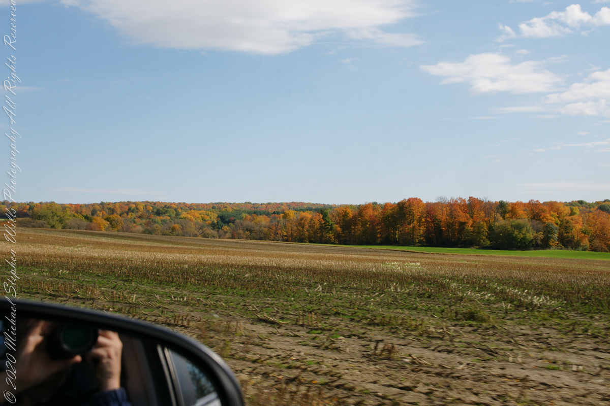
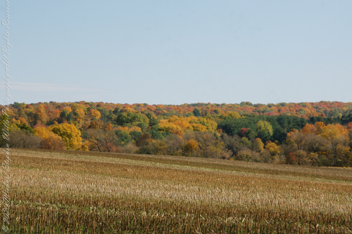
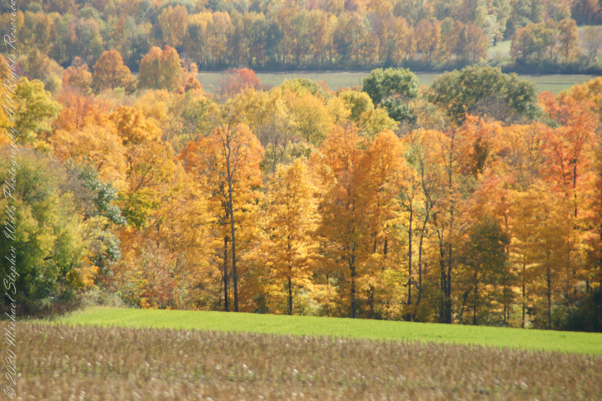
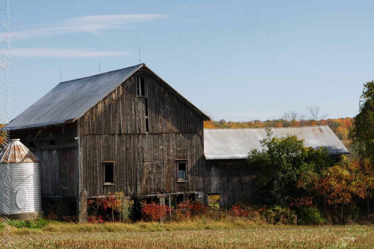
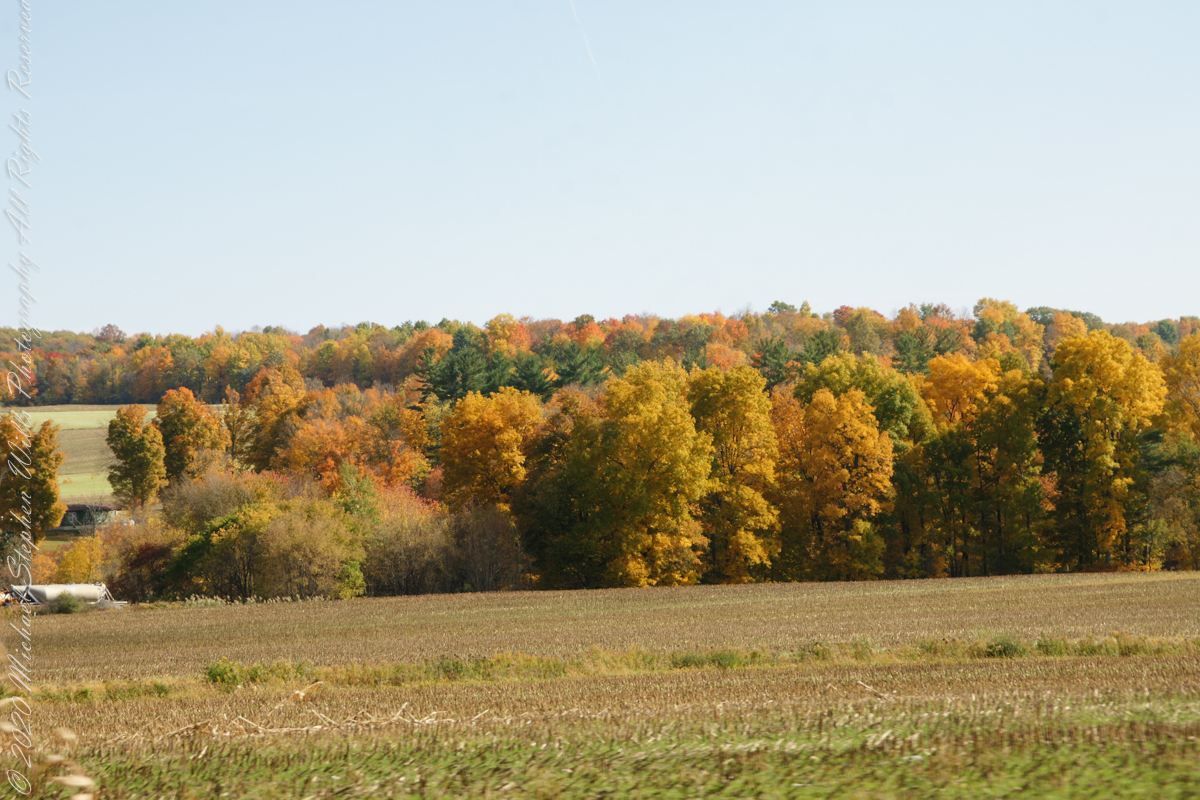
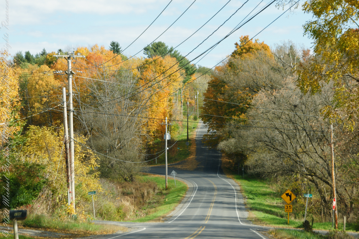
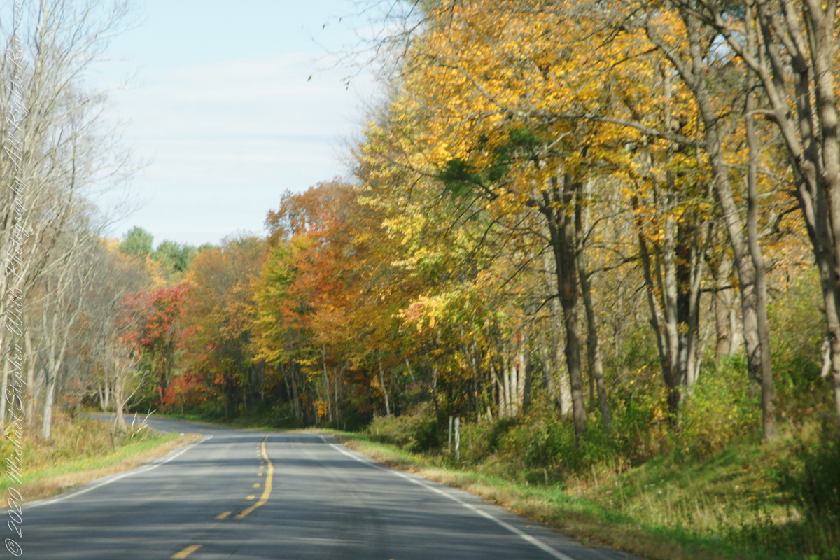
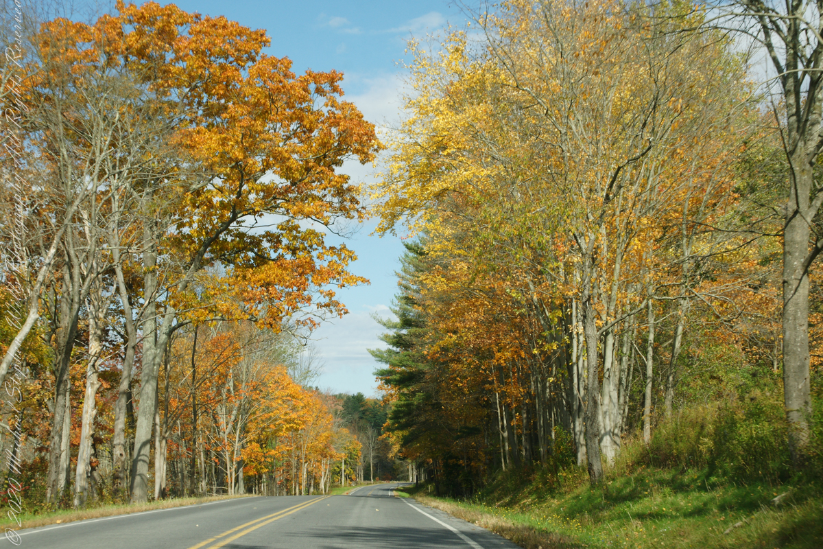
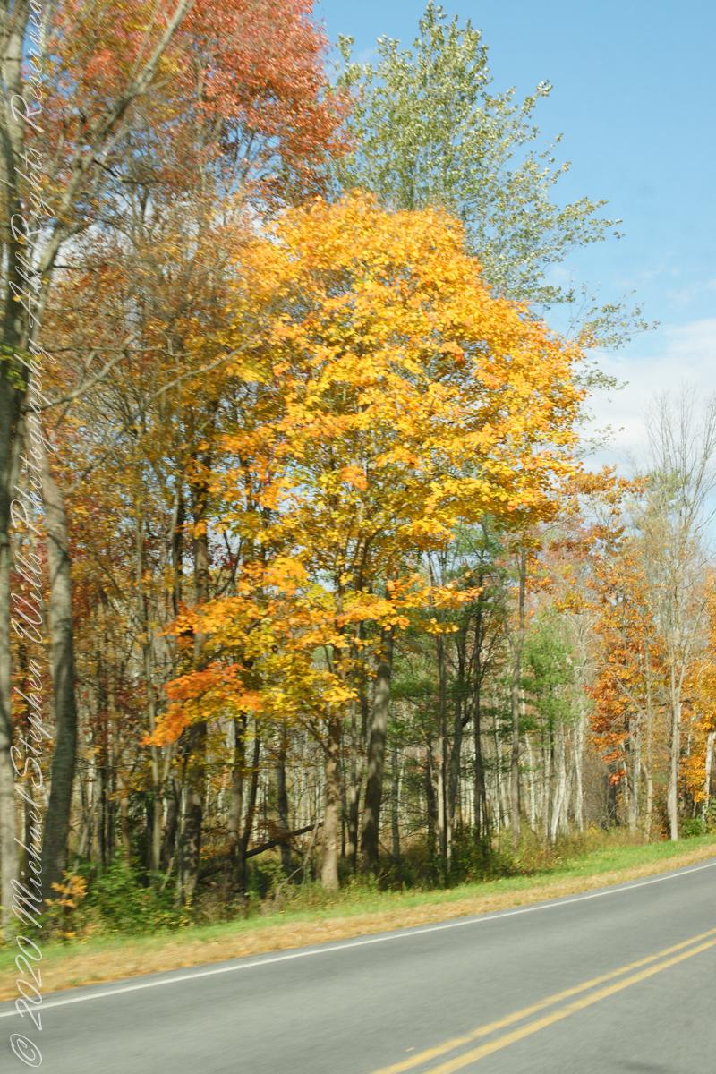
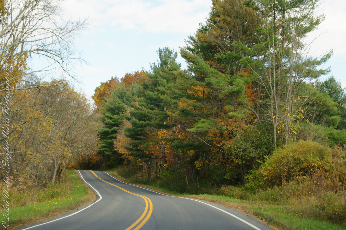
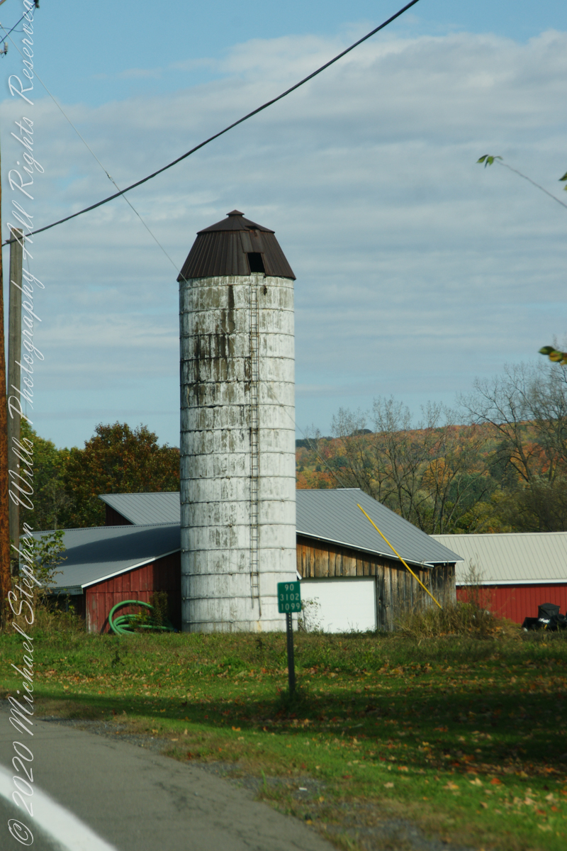
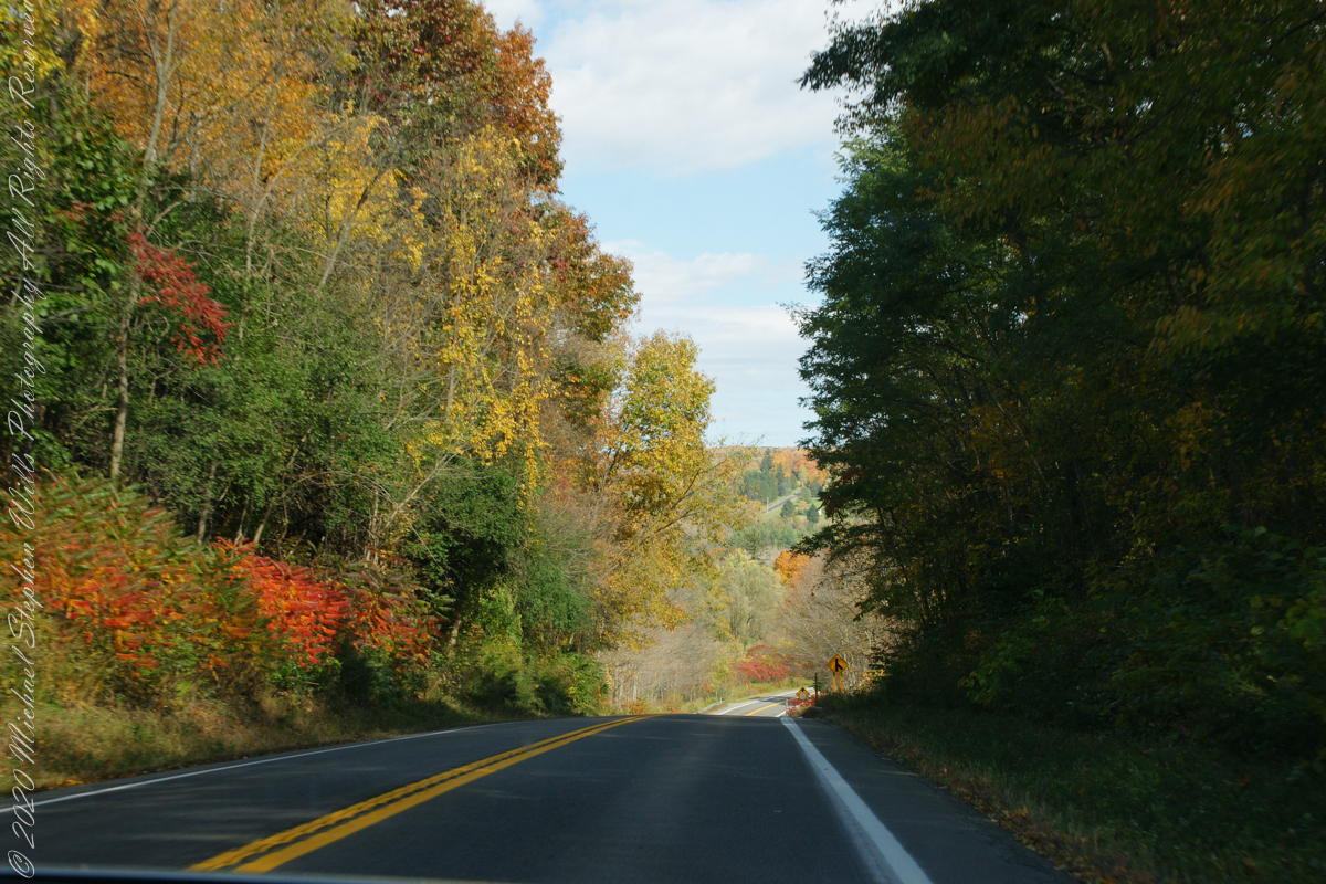
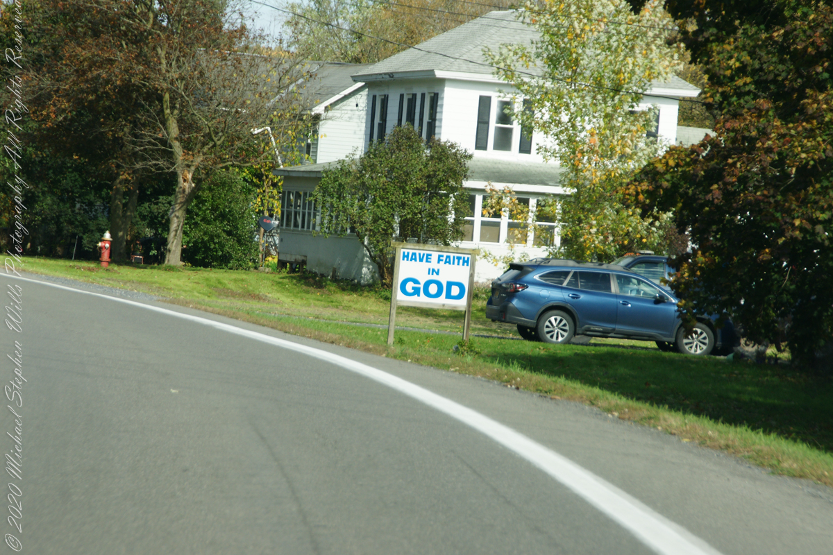
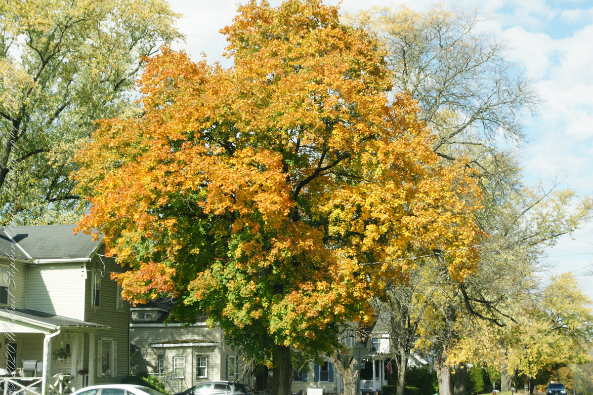
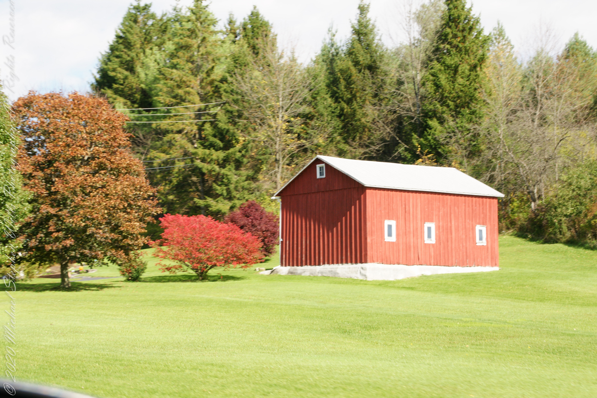
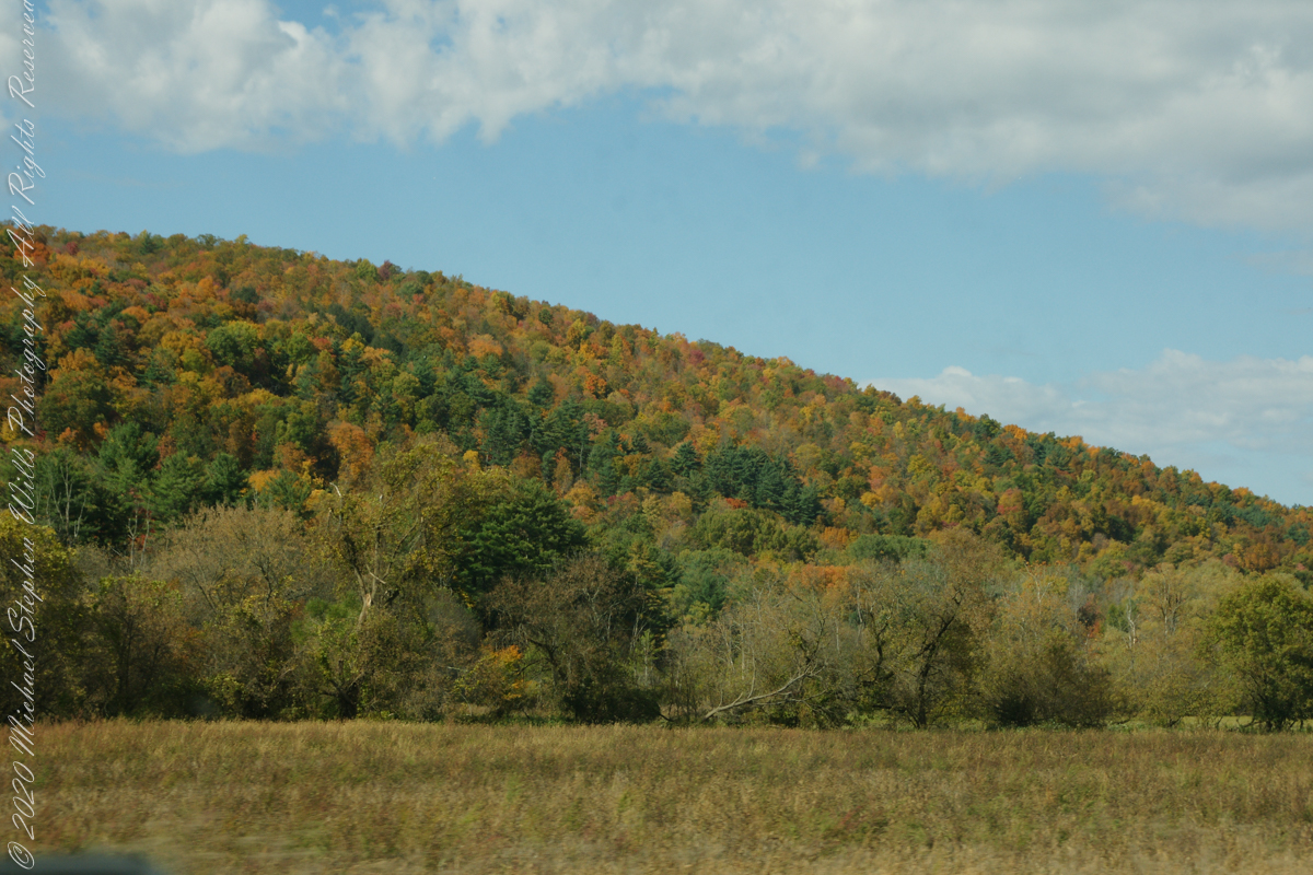
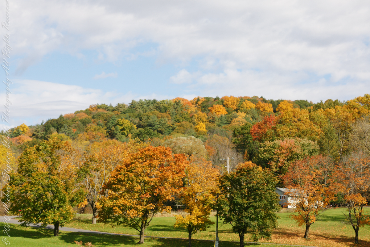
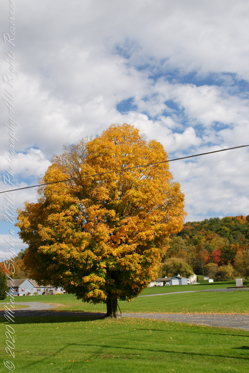
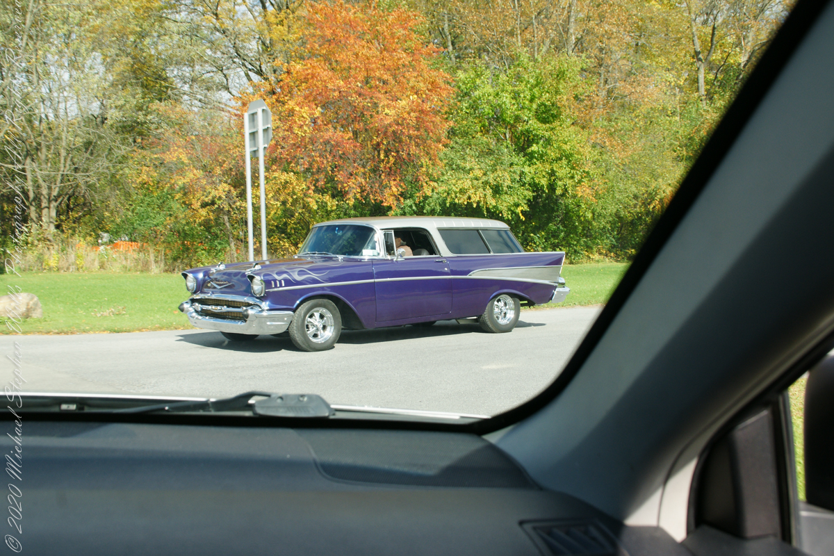
My Sony Alpha captured our October 16 drive to Fillmore Glen. As we traversed landscapes, the spectacle of Tompkins and Cayuga Counties autumn glory passed by the open passenger side window and, even, the front windshield. Thank You, Pam, for driving.
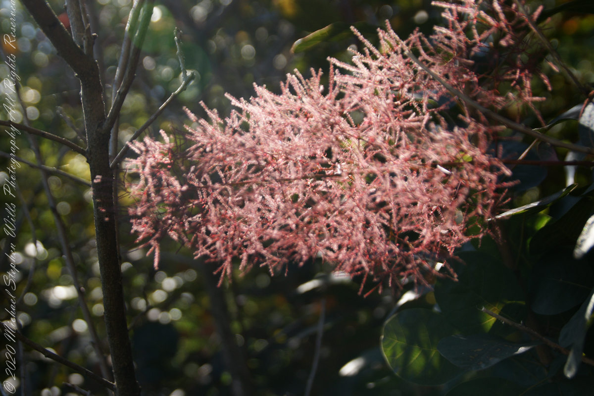
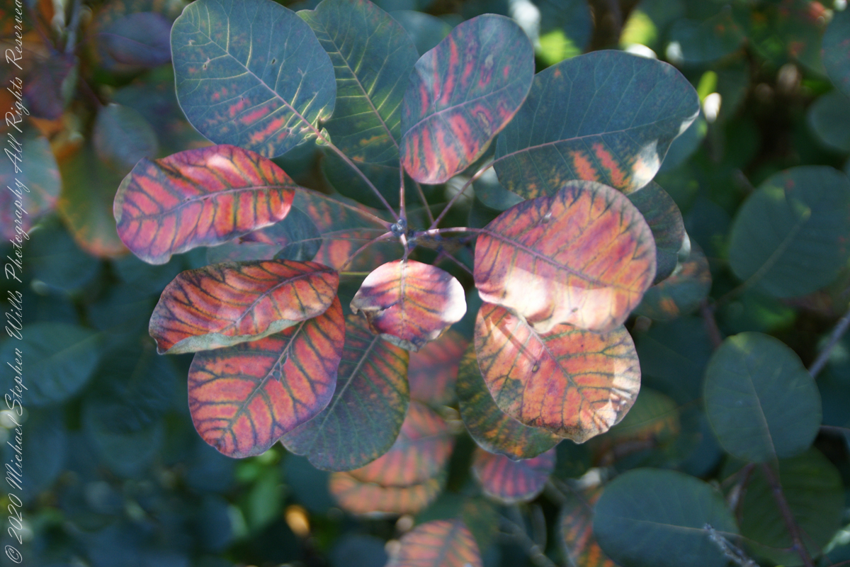
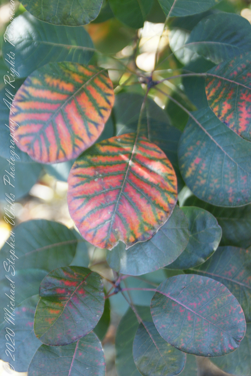
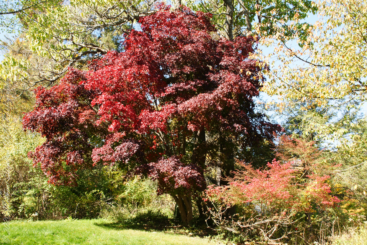
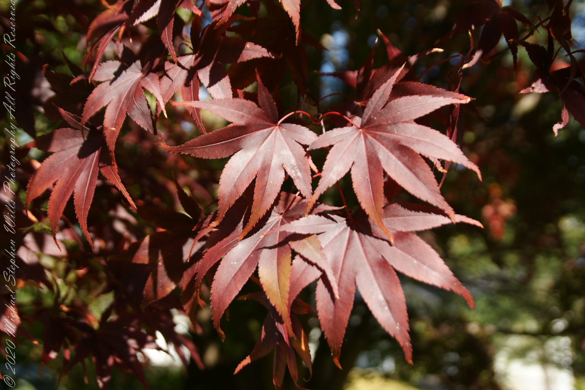
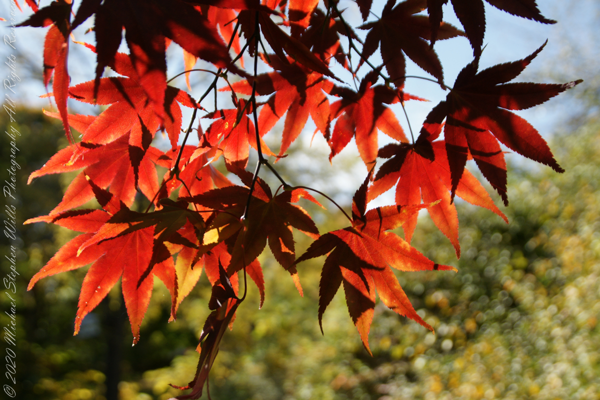
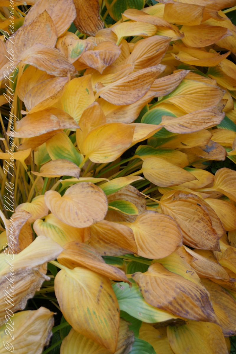
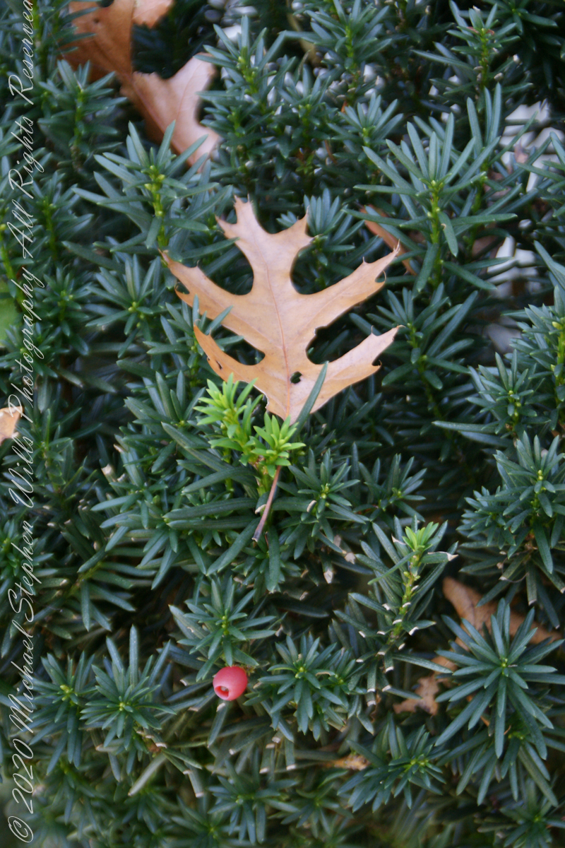
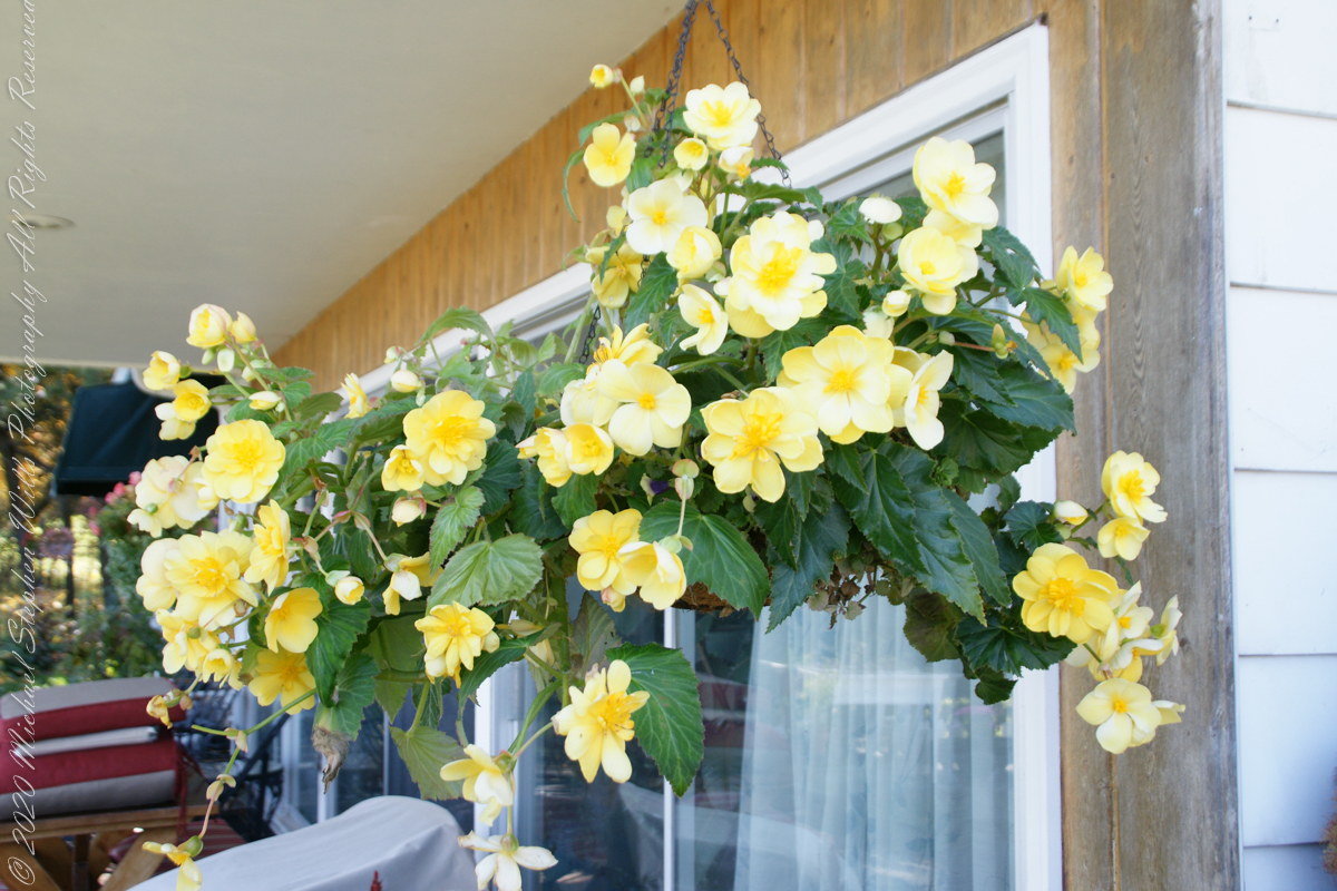
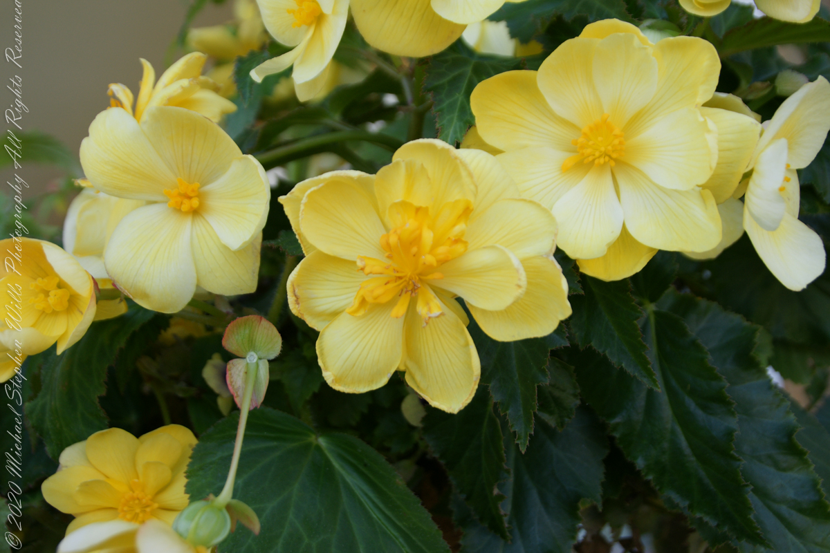
A turn around our home: Smoke tree, Japanese Maple, Pam’s flower baskets, fallen Oak leaves
.TT.
Panoramas from our front porch and on to Hector Street descending into and through Ithaca
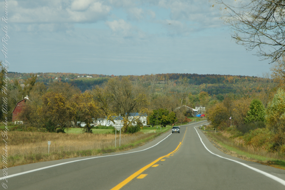
Headed up Route 34 along Cayuga Lake, into “Farm Country”
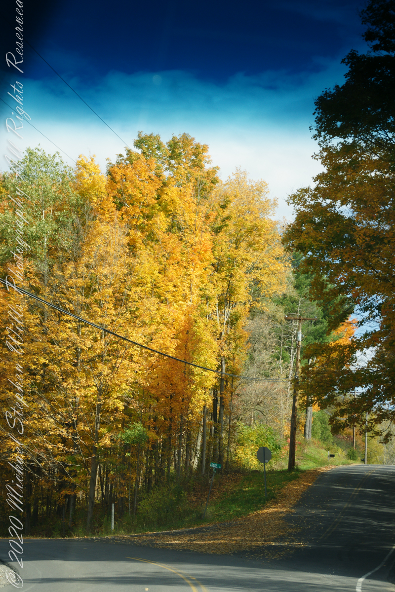
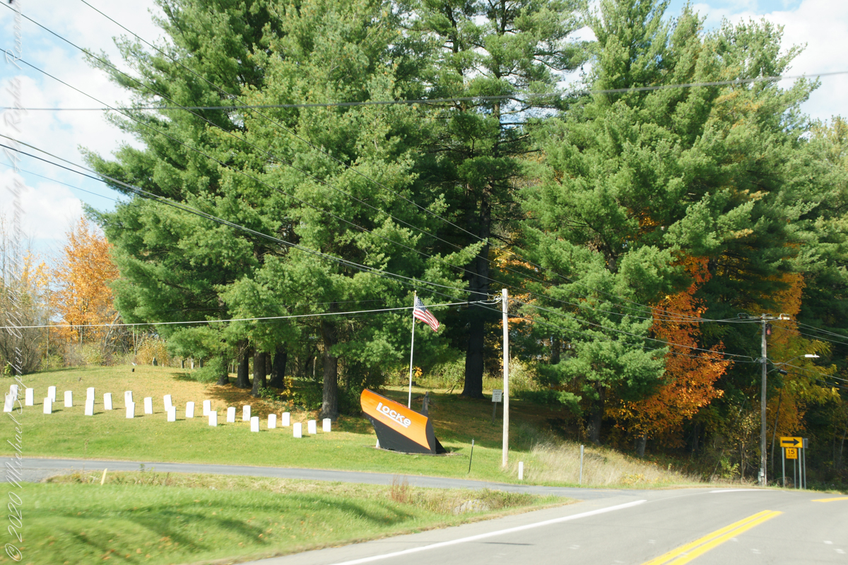
Turning onto Locke Road and crossing from Tompkins to Cayuga County
Travelling through Cayuga County, the town of Locke, then Moravia and Fillmore Glen State Park
..
This is my farewell to “Fall” for now.
Copyright 2022 All Right Reserved Michael Stephen Wills
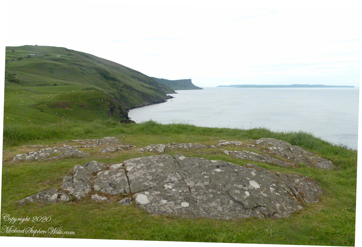
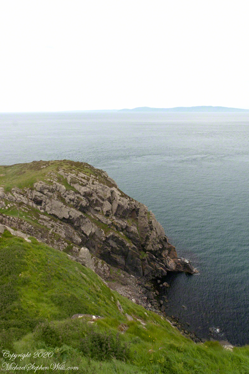
Knights of the Red Branch appear towards the end of “Deirdre and the sons of Uisneach”, a tale from 1st century AD Ireland, as protectors of the lovers Dierdre and one of the sons of Uisneach, named Naoise. The two fled to Rathlin Island, seen in the distance in the following photograph.
Distant Rathelin Island from Torr Head
From Rathlin Island they passed over the Irish Sea to Scotland where they lived happily for a term of years.
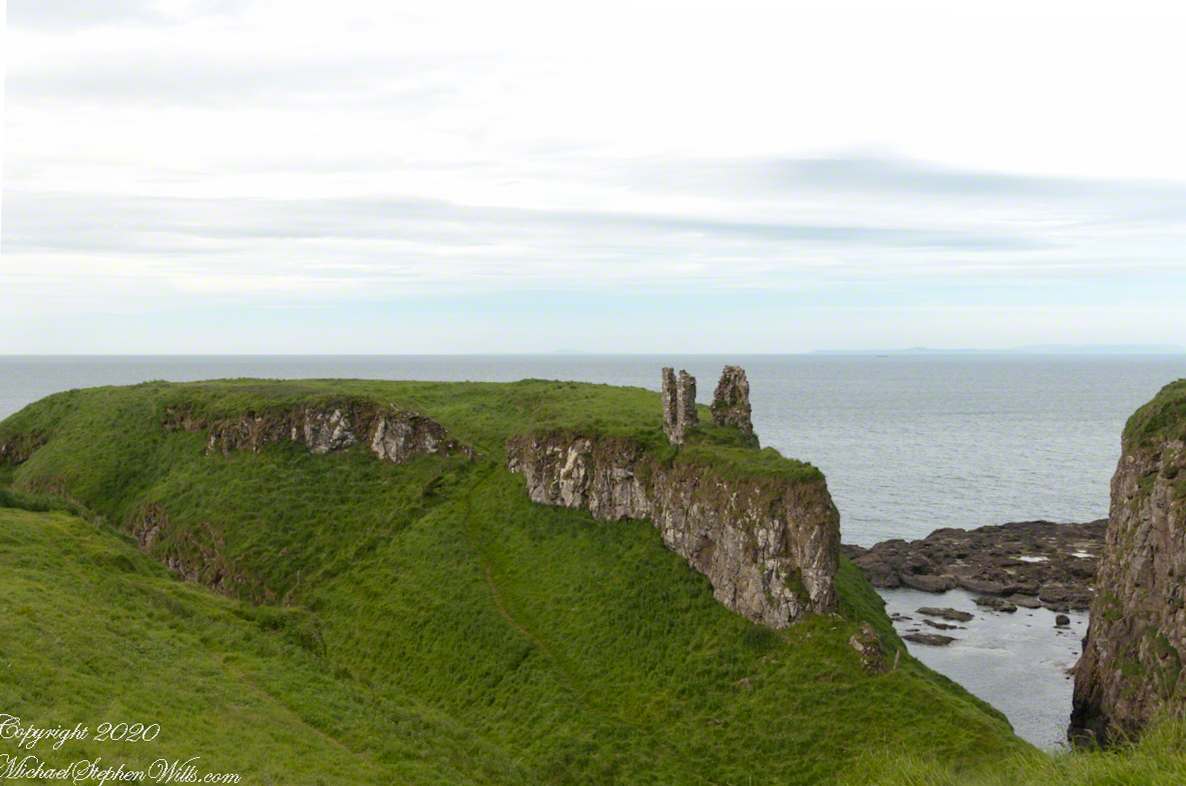
Barrach’s fort no longer exists, a Coast Guard Station was built over the site. There are other intact ruins on this picturesque coast. Here is one close to the Giant’s Causeway, Dunseverick Castle.
Dunseverick Castle
Copyright 2022 All Rights Reserved Michael Stephen Wills
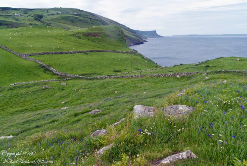
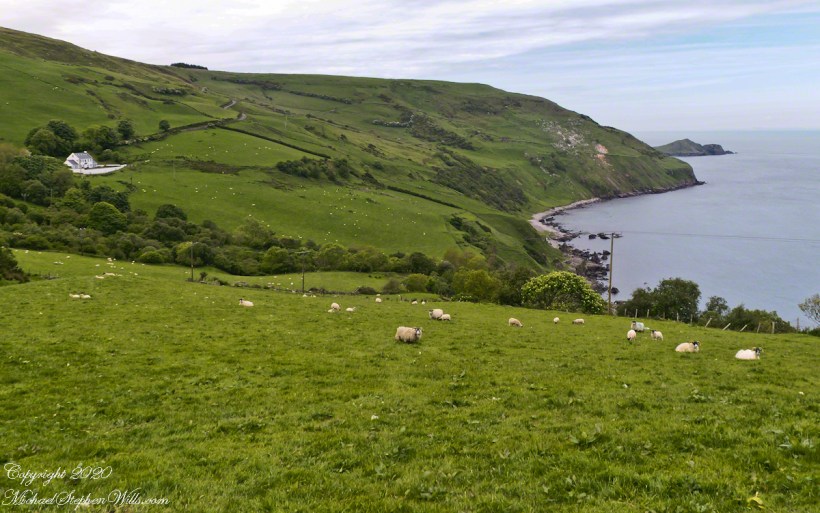
Torr in Irish is a steep rocky height. Likewise, Corr means odd, uneven, rounder, convex, curved, peaked, projecting, smooth. Combined Torcorr is the townland where we stopped on the Torr Road, halted by our wonder at this sight.
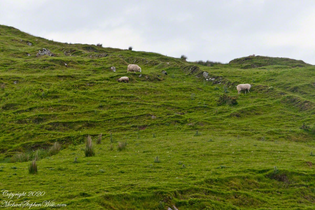
In the distance, Torr Head projects into North Channel, the closest land to Scotland. Following the coast, the cliffs in front of Torr Head are home to numerous sea birds such as Fulmars (family Procellariidae) nad Oystercatchers (family Haematopodiadae). Along the rock beaches next Eider Ducks (genus Somateria). You might see the Common Buzzard (species Buto buteo).
Click photograph for a larger view. To do this from WordPress Reader, you need to first click the title of this post to open a new page.
In the following photograph Torr Head seen from immediately above. I stand on the ancient site of Barrach’s fort, a knight of the Red Branch. After some internet research I cannot find another reference to this knight, other than the information placard on Torr Head.
Copyright 2022 All Rights Reserved Michael Stephen Wills
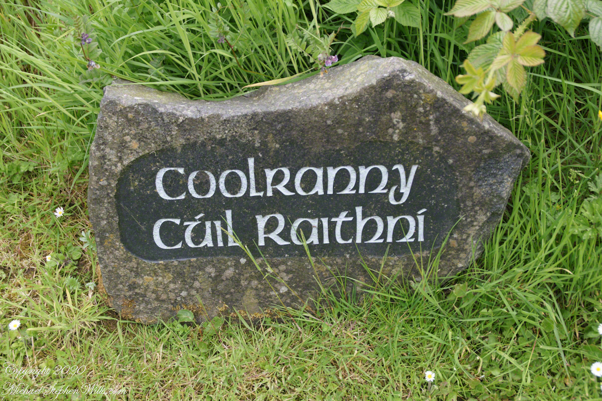
2014, the count of townlands on and around the island of Ireland was 61,098 with most of Irish Gaelic origin predating the Norman invasion, first recorded in 12 century church records. The names have a pride of place reflected in the beauty of the namestones along Torr Road.
Click photograph for a larger view. To do this from WordPress Reader, you need to first click the title of this post to open a new page.
Namestone on Torr Road in Coolranny townland.
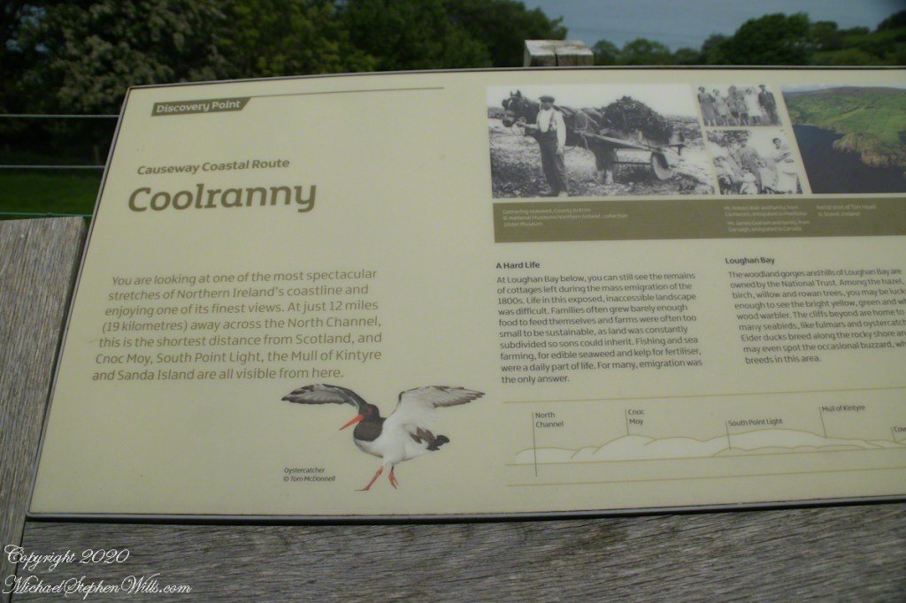
The 82 acres of Coolranny forms a slice of land running from a ridge to Loughan Bay off the North Channel of the Irish Sea across from Scotland.