Exploring Lime Hollow: Nature Walks with My Grandsons

Enjoy a memorable visit to Lime Hollow Nature Preserve by a grandfather and his grandsons, exploring nature, observing wildlife, and connecting through shared experiences, fostering curiosity and appreciation for the environment.

The October sunlight was gentle as we entered Lime Hollow Nature Preserve from Gracie Road, my grandsons, Sam and Rory, bursting with excitement beside me. Sam, the eldest, took the lead, confidently striding ahead along the Sunset Trail while Rory, his younger brother, stayed close to my side, his eyes wide with wonder at the forest around us.

Descent to the Pond


The trail wound through the woods, dappled with the golds and reds of early autumn. Sam spotted a squirrel darting between trees, and Rory pointed to the sky, “Look, Grandpa, a woodpecker!” I smiled at their enthusiasm, feeling grateful for these moments of connection to nature and family.

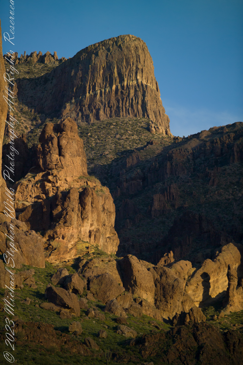
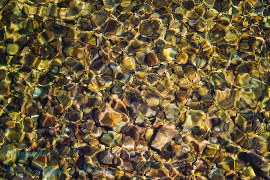
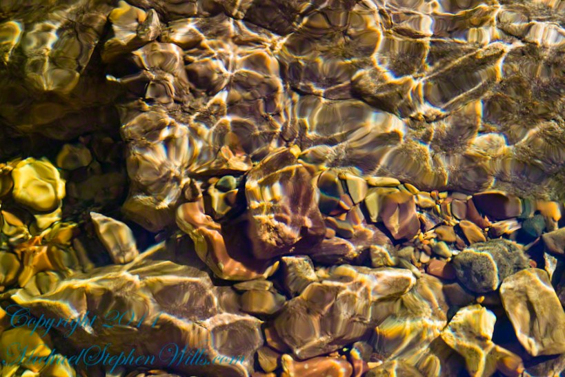
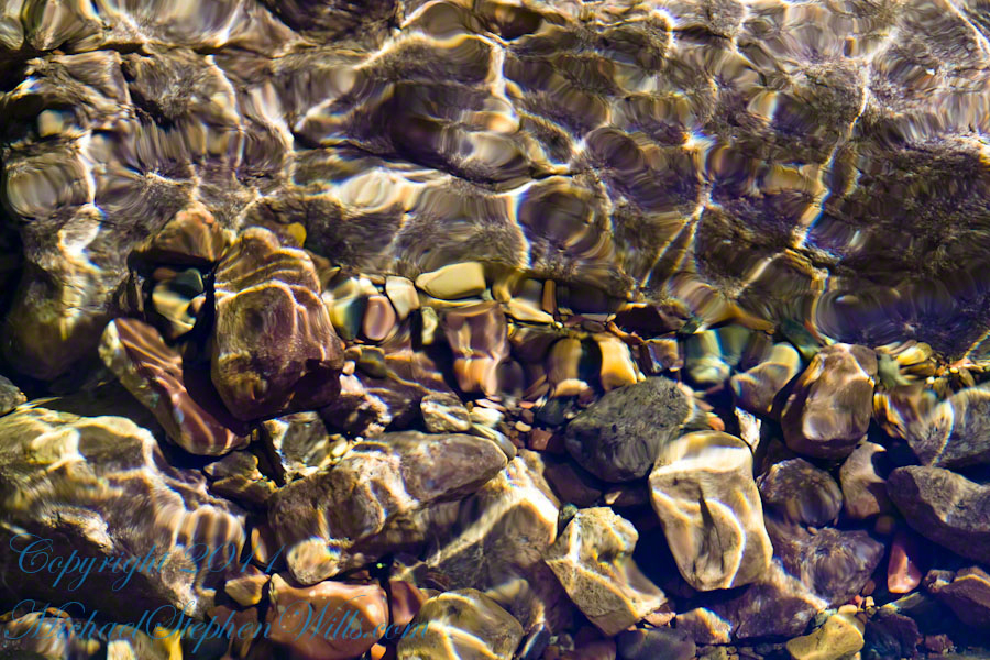
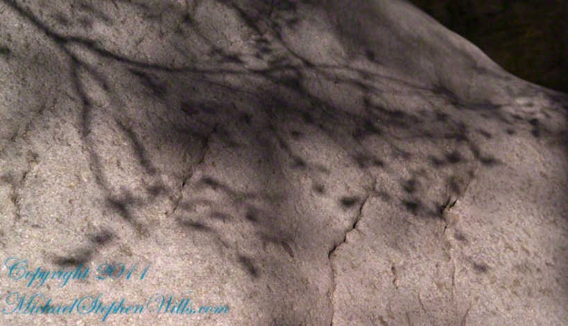
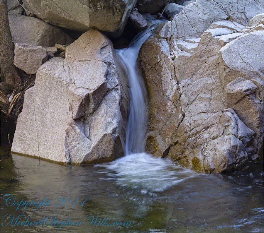
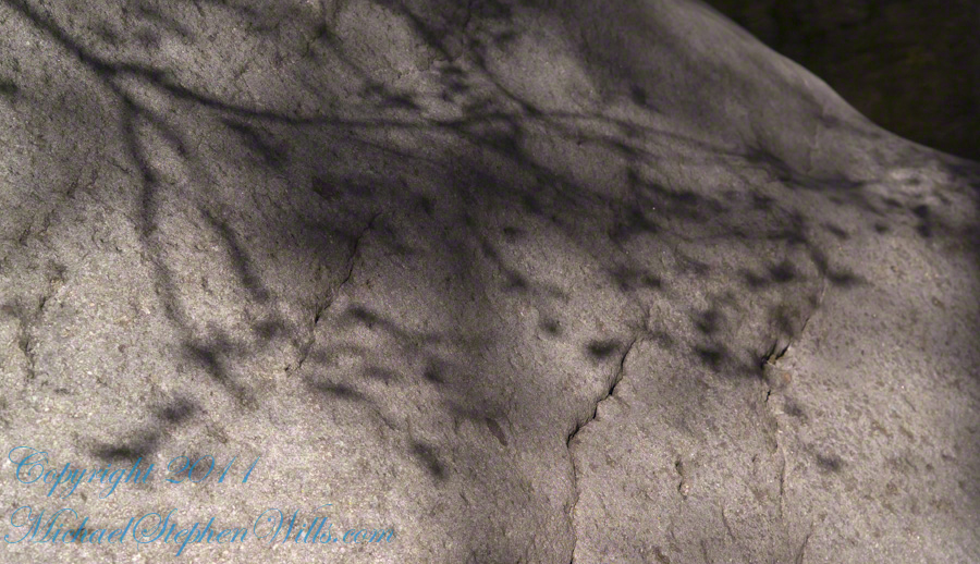
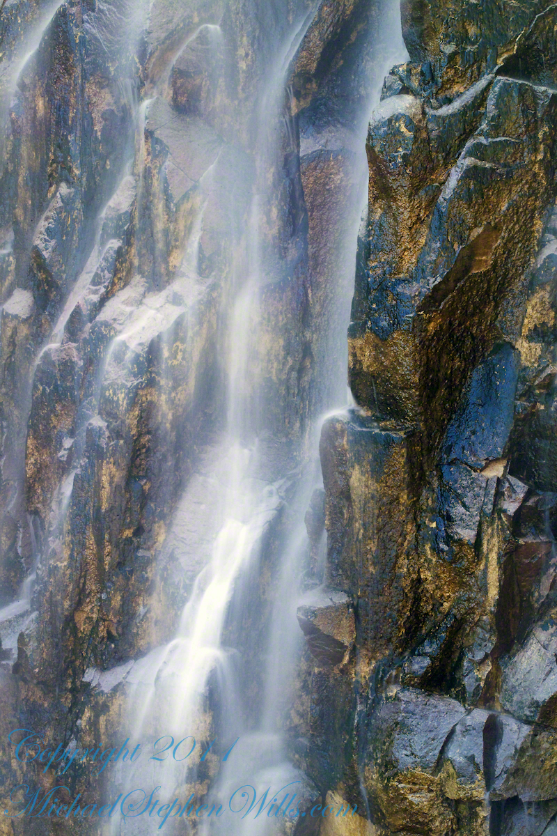
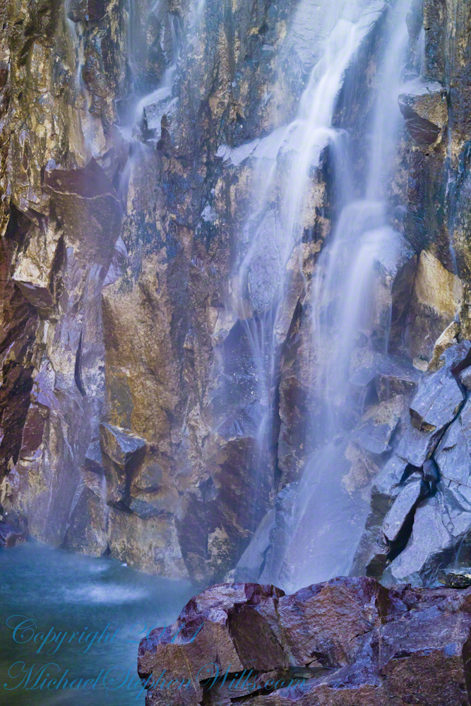
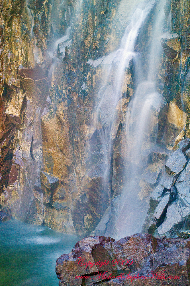
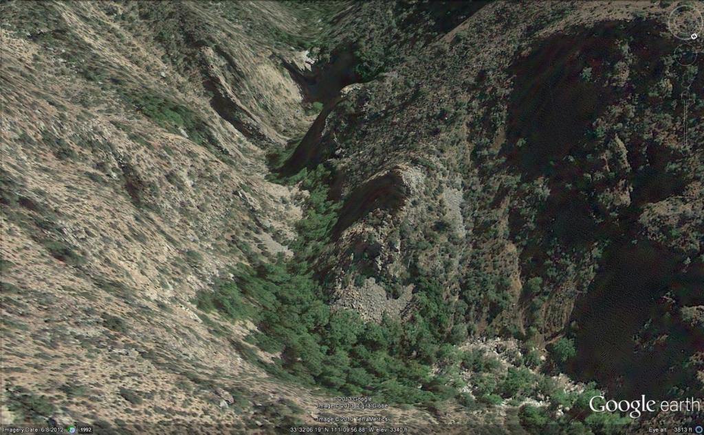
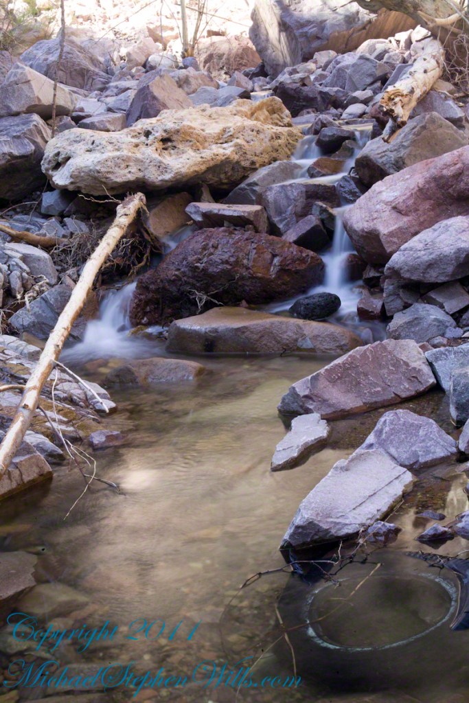
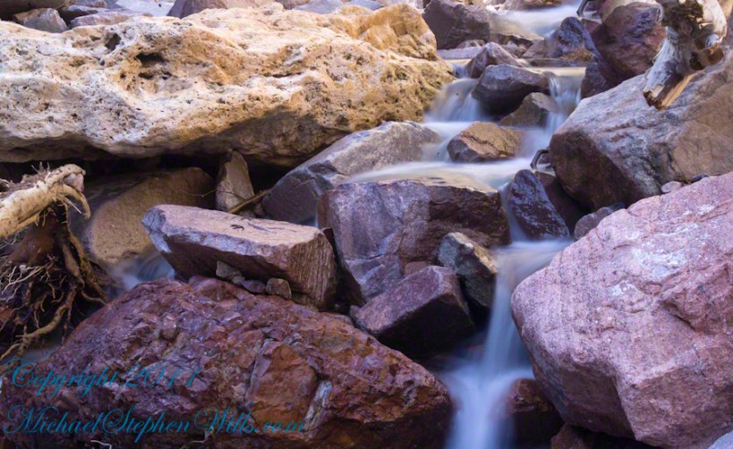
We descended toward the pond via the Pond View Trail, the sound of trickling water drawing us closer. As we approached, the landscape opened up, revealing the calm, reflective surface of the water, bordered by reeds swaying in the light breeze. I remembered bringing the boys here last spring, how different the pond looked then—brimming with life as frogs leapt from the banks and dragonflies zipped across the water’s surface. Today, the scene was quieter, but no less magical.

Rory, ever the adventurer, crouched by the pond’s edge, watching for frogs. Sam, too, paused to observe but soon grew restless, his curiosity pushing him onward. “Come on, Grandpa! Let’s see what’s next!” His voice echoed through the trees as he darted back onto the trail, Rory quick to follow.

Encounter with the Giant Fungus


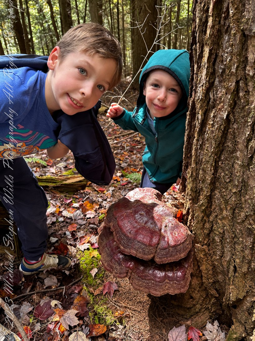
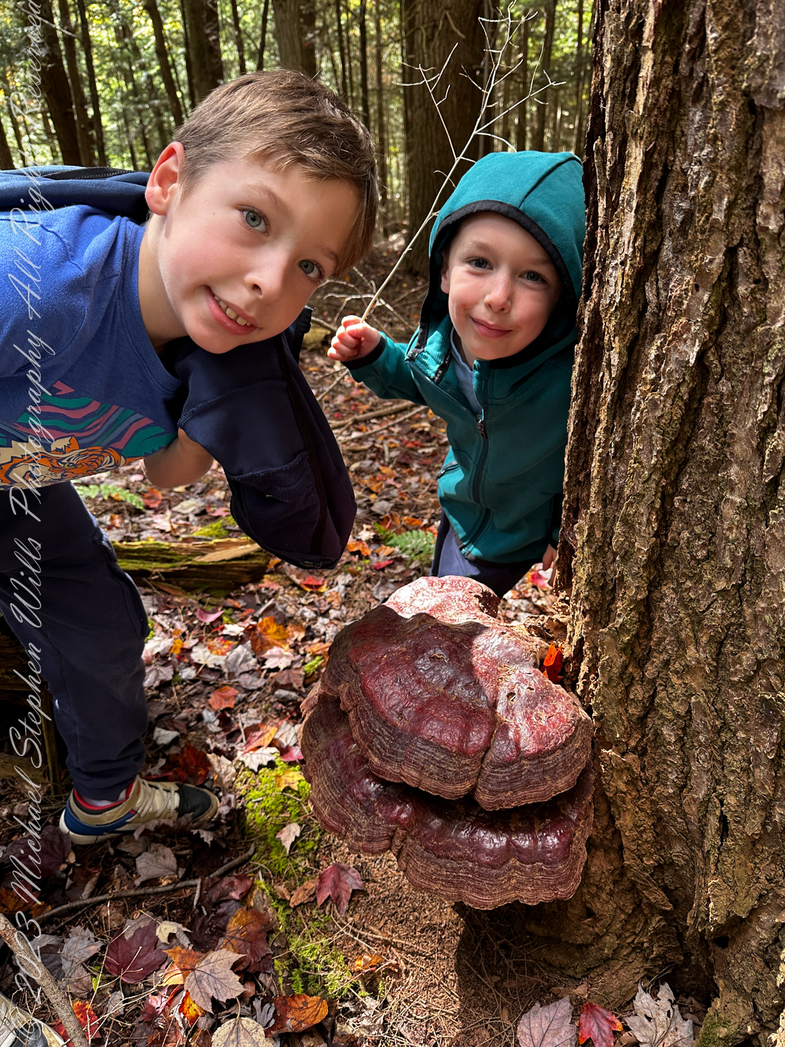
The path led us deeper into the forest, and soon we turned onto the Brookside Trail, which merged with the High Ridge Trail. Here, the air grew cooler under the dense canopy of trees, and the forest floor softened beneath our feet with layers of leaves. It was then that we stumbled upon the most magnificent sight of the day: an enormous bracket fungus, its wide, layered shelves clinging to the trunk a hoary snag.

Rory gasped in delight, running over to inspect it more closely. “Look how big it is!” he exclaimed, his small hands hovering just above its ridged surface. Sam, never one to be outdone, knelt beside it, carefully touching the spongy layers. “It’s a staircase for squirrels,” he said, grinning up at me.

Turkey Tail bracket fungus (Trametes versicolor) is a common wood decay fungus found on dead and decaying hardwoods. Named for its concentric, colorful bands resembling a turkey’s tail, it plays a vital role in forest ecosystems by breaking down lignin, facilitating nutrient recycling. It’s also valued for its medicinal properties. Lime Hollow Nature Center, Cortland, Cortland County, New York State. Finger Lakes Regions

As I watched them, I couldn’t help but think back to all the times I had wandered these trails alone before they were born. Now, these woods had become a classroom for them—full of discoveries that sparked their curiosity and wonder. It was a beautiful moment of generational connection, this passing on of my love for the natural world to Sam and Rory.

Fascinating Beech Tree Roots


On the way out, we took the Brookside / Pond View / Sunset trails once again, but this time, this intricate network of roots from a massive beech tree fascinated us. The roots twisted and coiled across the path like veins, in our imaginations the gnarled shapes snagged our feet. Sam, ever the explorer, stepped cautiously along the roots, balancing himself as if walking a tightrope. Rory followed suit, his giggles filling the air.

An American beech (Fagus grandifolia). These trees are quite common in northeastern forests.
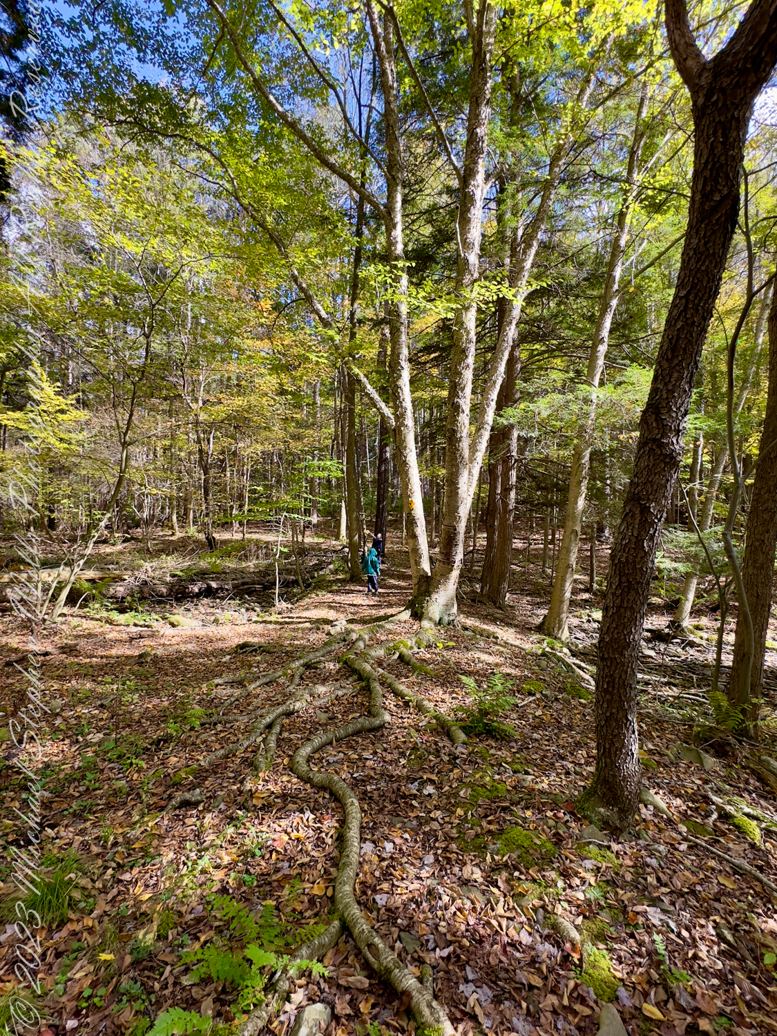
The beech tree is known for its smooth smooth, gray bark, which can become marked with scars or etchings as the tree ages. Additionally, its leaves are typically dark green, with serrated edges, and turn yellow to bronze in the fall, often staying on the tree through winter. Lime Hollow Nature Center, Cortland, New York State

“These roots are older than us,” I told them. “Beech trees can live for hundreds of years. Just think, this tree has seen many more seasons than we ever will.”

Sam’s eyes widened at the thought, while Rory gave the tree a gentle pat, as if to thank it for its wisdom. I marveled at how something as simple as a root system could captivate their imaginations and bring the lesson of time and growth to life.

Reminiscing on the Chicago Bog

In the 1830’s there was a village named Chicago along Gracie Road, which gives it the name we have today. The Chicago Bog is home to many carnivorous plants, including sundew, the pitcher plant, and more. The deepest depth of the bog is about 7.2 ft. The bog is along the Phillips Memorial Trail, which can be found on Gracie Road. Lime Hollow Nature Center, Cortland, New York


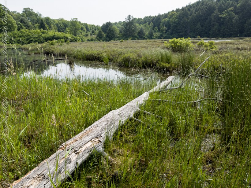
As we walked, my mind wandered back to a visit we had made to the Chicago Bog just a year before. I remembered the day clearly—how we had trekked through the wetland on a warm June afternoon, the ground soft beneath our feet, alive with the buzzing of insects and the vibrant green of new growth.

The chalk-fronted corporal (Ladona julia) is a skimmer dragonfly found in the northern United States and southern Canada.
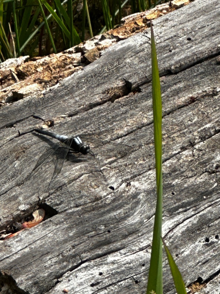
Juveniles of both sexes are light reddish brown, with white shoulder stripes and a black stripe down the middle of the abdomen. As they mature, males develop a white pruinescence on the top of the thorax and at the base of the abdomen, while the rest of the abdomen turns black. Females become almost uniformly dark brown, with a dusting of gray pruinescence near the base of the abdomen; a few develop the same color pattern as the males.
Chalk-fronted corporals often perch horizontally on the ground or on floating objects in the water, flying up to take prey from the air. They are gregarious for dragonflies, and are commonly seen perching in groups. They readily approach humans to feed on the mosquitoes and biting flies that humans attract.

It was there, by the edge of the bog, that we had encountered a dragonfly, a Chalk-fronted Corporal, resting on a fallen log. Its dark, iridescent wings shimmered in the sunlight, and Sam had been mesmerized by its delicate beauty. He had asked so many questions that day—about how dragonflies flew, what they ate, and where they lived. I had done my best to answer, but truth be told, I learned as much as he did in that moment.

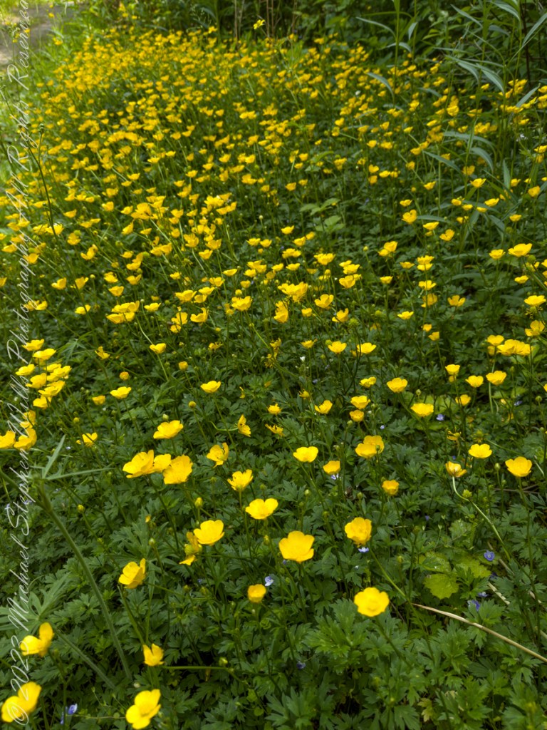
Nearby, a meadow of buttercups had stretched out before us, their yellow blooms dancing in the breeze. Rory had run through them, his laughter ringing out as he tried to catch a butterfly that flitted between the flowers. The memory of that field of gold still brought a smile to my face as we made our way through Lime Hollow today.

A Day to Remember


As we neared the end of our hike, the afternoon light filtering through the trees, I couldn’t help but feel a sense of contentment. These outings with Sam and Rory had become more than just walks in the woods—they were opportunities to share, to learn, and to make memories that I knew would last a lifetime.

“Grandpa, can we come back?” Rory asked, his face flushed with excitement.

“Of course,” I said, smiling. “We’ll always have time for another adventure.”

Iquique by Sea IV

Discover the vibrant blend of history and modern maritime traditions in Iquique. From the dramatic escarpment backdrop to the bustling harbor, join us on a journey exploring the city’s past and present, anchored in seafaring tales.

Continue reading “Iquique by Sea IV”

Iquique by Sea I

Join me on an early morning approach to Iquique, Chile, as we sail past the stark, mesmerizing Atacama Desert coastline. Experience the serene isolation and rugged beauty captured from the balcony of our cruise ship.

Standing on the balcony of our port side stateroom, the early morning light casts a subdued, almost ethereal glow over the vast expanse of the Pacific Ocean. The Oceania Regatta glides smoothly through the cold, dark waters, making its way toward Iquique, our first Chilean port of call. The sense of anticipation is palpable as we approach the coast of the Atacama Desert, a region renowned for being the driest place on Earth.

The view is both stark and mesmerizing. The coastline of the Atacama Desert rises sharply from the Pacific, a dramatic contrast to the vast, cold ocean that stretches out before us. The Humbolt current, a cold, nutrient-rich flow of water from southern Chile to northern Peru, swirls beneath the ship, adding a sense of dynamic movement to the scene. The chilly air, the muted colors of the sea and sky, and the barren, rugged landscape all combine to create an atmosphere of serene isolation.

In the distance, I imagine a dark point of land—the remnants of the abandoned town of Caleta Buena. Perched on a 750-foot escarpment, the town was once a bustling hub of nitrate mining, a vital industry that shaped the history of Iquique. The remains of piers jutting out into the ocean stand as silent witnesses to a bygone era, their weathered structures blending into the rugged coastline.

The sequence of photographs I’ve captured from this vantage point, working north to south, offers a panoramic view of this desolate yet captivating landscape. Using a 24 mm “wide angle” Canon lens mounted on a tripod, I’ve been able to frame the vastness of the ocean and the stark beauty of the Atacama coastline in a single, sweeping seascape.

Reflecting on our overnight journey from Matarani, Peru, I’m struck by the profound sense of isolation that accompanies travel along this desolate coast. During the 250-mile sail, the darkness was absolute, the inky blackness of the night broken only by the occasional glimmer of stars reflected in the ocean below. It was a journey through a void, a stark reminder of the sheer scale and remoteness of this part of the world.

As we draw closer to Iquique, the coastal mountains rise up, marking the transition from the Pacific to the arid plains of the Atacama Desert. The stark beauty of this landscape, with its rugged cliffs and barren expanses, is both humbling and awe-inspiring. It’s a reminder of the harsh conditions that have shaped this region, and of the resilience of the people who have carved out a living here over the centuries.

From the balcony of our stateroom, I feel a deep sense of connection to this place. The vastness of the ocean, the stark beauty of the desert coastline, and the rich history of the region all combine to create a profound sense of place. This is a land of extremes, a place where the forces of nature have sculpted a landscape of breathtaking beauty and unforgiving harshness.

As we approach Iquique, I feel a sense of gratitude for the opportunity to witness this unique corner of the world. The journey is a reminder of the incredible diversity and beauty of our planet, and of the importance of preserving these natural wonders for future generations. This approach to Iquique is a journey to a new port, a journey into the heart of one of the world’s most remarkable landscapes.

Copyright 2024 Michael Stephen Wills All Rights Reserved

Illuminating Discoveries: Solving the Red Light Enigma in Cocoa Beach

Dive into a fictional adventure in Cocoa Beach, where a mysterious red light sparks curiosity. Join Emma and Alex as they unravel the surprising truth behind a crimson glow.

I’ve always been captivated by the unusual, so when I first saw that mysterious red light beaming from the ninth floor of the Cape Royal Office Condominium in Cocoa Beach, I was instantly hooked. The theories around town were wild—some said it was a secret alien signal, others whispered about hidden, illicit activities.

I knew I needed help to investigate, and who better than Emma, the local journalist with a knack for uncovering the truth? I approached her with my theory, and her eyes lit up with curiosity. “Alex, this sounds like a story worth exploring. Let’s see what’s really going on with that red light,” she said enthusiastically.

Disguised as potential clients, we managed to get access to the ninth floor. The anticipation was palpable as we walked through the doors of Howe Photonics, only to find a busy office, not the den of intrigue we’d imagined.

“Hi, I’m Gary Howe,” the managing director greeted us with a knowing smile. “I assume you’re here about the red light?”

I exchanged a look with Emma. “Yes, we are,” she said. “There’s been a lot of speculation in town about it.”

Gary chuckled. “Well, let me clear things up. We specialize in red light therapy systems. The light you’ve seen is from our custom-made LEDs used for therapeutic purposes. They’ve been approved by the FDA.”

I was stunned. “So, it’s not a signal to aliens or anything like that?” I asked, half-joking.

“No, Alex, nothing as exciting as that,” Gary replied with a smile.

Emma and I learned more about the therapy and its benefits from Gary and his son, Howard. I couldn’t help but feel a sense of wonder at the science behind it all. Emma, always the professional, asked insightful questions, capturing every detail.

Gary then offered us a chance to try the therapy. As I relaxed under the soothing red light, I felt a wave of calmness and rejuvenation. “This is incredible, Emma. It’s so different from what we imagined.”

Returning to Cocoa Beach, we were eager to share our findings. Emma penned a detailed article for the local paper, while I created a documentary featuring interviews with the Howes and locals like Judith Brinkly, who had seen remarkable results from the therapy.

The story of the red light shifted from mystery to a source of health and wellness. The once-feared glow now drew people in, eager to experience the benefits for themselves. The mysterious red light, previously the subject of wild rumors, became a celebrated part of our community.

Reflecting on our adventure, I’m grateful for Emma’s support and insight. “You know, Emma, we really changed the narrative here. It’s amazing what a little curiosity and investigation can do.”

Emma smiled. “Absolutely, Alex. We turned fear into understanding and appreciation. That’s the power of seeking the truth.”

The red light of the Cape Royal Office Condominium, once a symbol of mystery and intrigue, now stood as a beacon of hope and healing. Emma and I had uncovered not just a story, but a testament to the power of curiosity and the pursuit of truth.

Note: the persons named in this story are fictional characters. The building and the nature of the red light is real.

Copyright 2024 Michael Stephen Wills All Rights Reserved

The Flatiron

Where is the ironing board?

The setting sun’s glow on the end point of Upper Siphon Draw trail, The Flatiron.

Click Me for my Online Gallery

The mountain was formed by a series of volcanic eruptions between 20.5 and 18 million years ago. The west face of the mountain is composed of dacite lava and rhyolitic tuff. The overlying tuff was deposited during an eruption which created a collapse caldera bounded by faults. Dome resurgence reactivated these faults, causing uplift of the caldera floor which juxtaposed the softer tuff and more resistant dacite. Differential weathering caused the outer tuff to erode faster, leaving the dacite cliffs exposed and creating the prominent mountain visible today.

The Flatiron, the mesa-like projection above us in this view, is long solidified dacite lava. The word dacite comes from Dacia, a province of the Roman Empire which lay between the Danube River and Carpathian Mountains (now modern Romania and Moldova) where the rock was first described. Lost Dutchman State Park, Apache Junction, Maricopa County, Arizona

Reference: Wikipedia “Superstition Mountain” and “Dacite Lava.”

Copyright 2023 Michael Stephen Wills All Rights Reserved

Abstracts: desert light and water

A Series of Nature Abstracts, macros of Reavis Creek below the falls

These four shots are of afternoon desert light playing on limpid water flowing over colorful rocks.

All are macro shots of the falls taken with a Canon 100mm f/2.8L lens.

From my solo expedition to this location in the remote eastern Superstition Wilderness of Arizona.

CLICK ME to learn more about my work and to purchase prints.

I chose portions of Reavis Creek stream bed carefully

The time of day was essential. This was late afternoon and before the sun disappeared behind the canyon walls.

Not all sections of the stream bed were suitable. I chose elements of strong compositions.

Variation between the shots is essential for holding the viewers attention.

Click Me to visit my previous post, “Canyoneering to Reavis Falls” for more of this story.

Copyright 2023 Michael Stephen Wills All Rights Reserved

Transcendent Beauty

Water and Shadows


The canyon below 110 foot Reavis Falls is a wild place of transcendent beauty.

With the afternoon in front of me, the trip back to camp was a slow pleasure. On the way in, I noted several stopping points to capture photographs. Here a natural rock sluice offers a foot tall waterfall, mirroring Reavis Falls, bracketed by white igneous stone.

This same stone offers a screen, the bright spring sun throwing the sparse leaves into sharp relief.

Click Me to visit my previous post, “Canyoneering to Reavis Falls” for more of this story.

Copyright 2023 Michael Stephen Wills All Rights Reserved

Nature Abstracts from Reavis Falls

Basalt and Water

A Series of Nature Abstracts, macros of Reavis Falls

These are six shots of Reavis Falls from my solo expedition to this location in the remote eastern Superstition Wilderness of Arizona.

All are macro shots of the falls taken with a Canon 100mm f/2.8L lens.

“Reavis Falls Abstract V”

I took these while perched on a pile of talus beneath the falls.

Click Me To learn more about my work and to purchase prints

Reavis Falls Abstract XIV

Reavis Falls are 114 feet high in a canyon hidden in the folds of mountain ridges in the remote eastern Superstition Wilderness of Arizona.

Reavis Falls Abstract VI

Reavis Creek falls from a sheer basalt cliff, remnants of a volcanic eruption, cool a million years ago, a little colder today by this running water.

Reavis Falls Abstract VIII

Reavis Falls Abstract XI

Reavis Falls Abstract XV

Click Me to visit my previous post, “Canyoneering to Reavis Falls” for more of this story.

Copyright 2023 Michael Stephen Wills All Rights Reserved

Canyoneering to Reavis Falls

No signposts in the wilderness

Reaching Reavis Falls, once you find the canyon mouth, is three-fourths of a mile of boulder hopping and bushwacking over and around landslides, deep pools and fallen trees.  Odds are you will be the only person in the canyon for weeks, if not months.  Expect to be surprised. In this chapter you will (finally) visit the falls themselves.

A Camp in the Canyon

Click me for the chapter about the environment around the mouth of Reavis Canyon below the falls.

The Last Mile

Here is an overview of the last third mile of Reavis Canyon.  You can see the wall of the falls nestled in the folds of ridges towards the top, just off center.

On the lower right is a large landslide and, below there, it is complete chaos.

The vegetation grows shoulder to shoulder with interleaved branches.  You will not get through there.  The solution is to find a way around, usually over and around house-sized boulders.

The image was captured from Google Earth


After almost two hours of picking my way, there was a flicker of light.  The fall waters were sparkling in the sunlight high above the cottonwood trees, in full Mach bloom, and the still leafless Arizona Sycamores.

This was my view of Reavis Falls from the canyon on a March day before the Arizona Sycamores have leaved. The falls are the tiny patch of white to the left of midline where the earth meets the sky. Jumbles of infallen boulders and thick growth of sycamores, oaks and fully leaved cottonwoods cloak the falls.

Another 30 minutes of canyoneering brought me to the foot of the falls.

At the Foot of Reavis Falls

Looking up at Reavis Falls from a 20 foot tall mound of talus.

These are boulders  washed down at flood time.

The rock wall is thick with microorganisms, fungi and mosses.

After clambering around the talus pile I found this angle….

An Arizona Sycamore, before the spring leafing, at the Foot of Reavis Falls

Talus at the Foot of Reavis Falls

The Reavis Falls talus is large boulders carried down Reavis Creek and washed over the falls at flood time as well as blocks fractured from the cliff face.  You can see the base of the Sycamore from the previous photograph.

The falls are formed where Reavis Creek flows over a solid mass of rock.  The talus is composed mostly of this red rock.  From the edge of this cliff to the base, where the falls hit the canyon floor, is all of 140 feet.  This is a far as you can proceed into the canyon without some serious climbing skills.

It is possible to climb around the canyon by climbing up the ridge from which I captured the Cedar Basin Hoodoos.  See my posts below for this location (you need to work it our for yourself).

This is NOT the last post of the series.  From here I will focus on the beauty of Reavis Falls and the canyon that holds them.

It was a four-day expedition so there are a few chapters covering the approach to the Falls:

Lime Mountain Morning

Two Bar Mountain View

Evening on Two Bar Mountain

Among the desert wildflowers

Superstition Wilderness Dawn

Dry Juniper Descent

Hoodoos on the Descent to Reavis Falls

Cedar Basin Hoodoos

Reavis Canyon Camp

Reavis Canyon Rivulets and Rocks

Copyright 2023 Michael Stephen Wills All Rights Reserved

Reavis Canyon Rivulets and Rocks

Canyon of Wonder and Beauty

Born from Eruption and Flood

The Superstition Wilderness was born from volcanic eruption and in some places (Peters Mesa) the earth still rumbles.

Here in Reavis Canyon it is the huge spring runoff that builds the environment, grinding and scouring the canyon. In my chapter The Mouth of Reavis Canyon is the story of this aspect of the canyon.

The history of this spot is written on these volcanic and igneous rocks and boulders, the uprooted tree roots and fresh water.

The tire must have washed down from Reavis Ranch.

A Canyon of Wonder and Beauty

In this chapter I present, in the header, the lovely dawn sky of that day, and a tiny corner of a rock jumble in Reavis Creek.   There is a large format version of the sky in my previous post, “The Mouth of Reavis Canyon.”

Rivulets and Rocks

Copyright 2023 Michael Stephen Wills All Rights Reserved