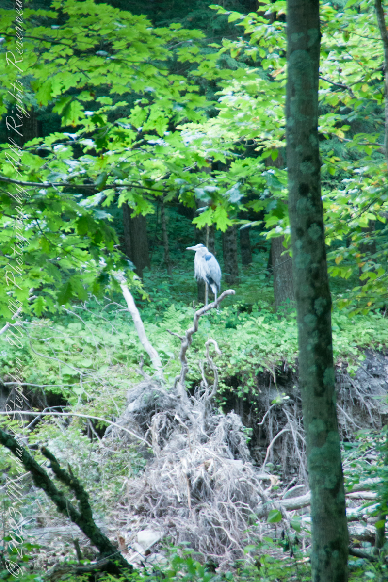
A Great Blue Heron spotted from Bear Trail during a family hike, perched on a splayed root of a tree undercut by flooding, fallen into Buttermilk Creek bed.
A heron recurves its long neck while perched. Adult herons have few natural predators and are rarely preyed upon due to their large size and sharp beak, but bald eagles (Haliaeetus leucocephalus) are known to attack great blue herons at every stage of their lifecycle from in the egg to adulthood.
Copyright 2023 Michael Stephen Wills All Rights Reserved
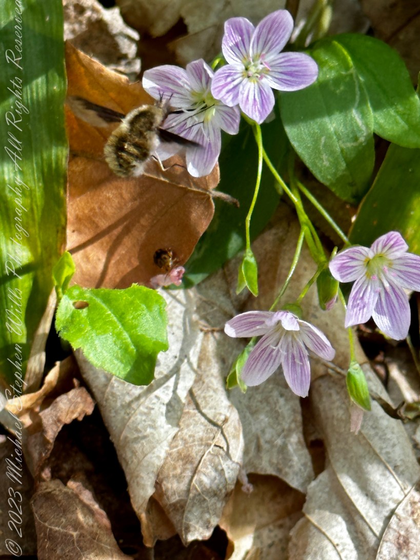
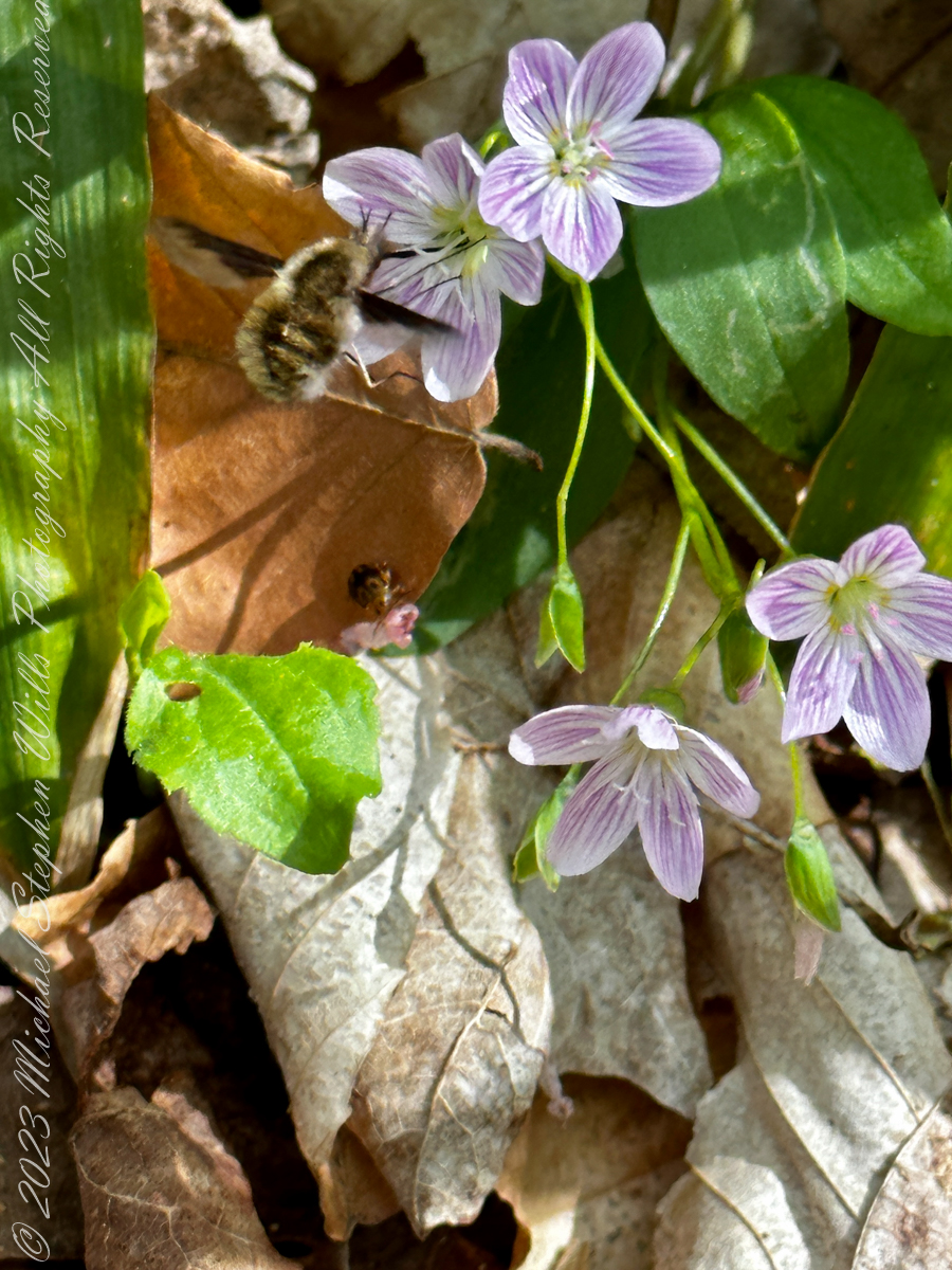
Bombylius major (commonly named the large bee-fly, the dark-edged bee-fly or the greater bee fly) is a parasitic bee mimic fly. Bombylius major is the most common type of fly within the Bombylius genus. The fly derives its name from its close resemblance to bumblebees and are often mistaken for them.
Bombylius major exhibits a unique flight behavior known as “yawing” and plays a role in general pollination, without preference of flower types. The fly does not bite, sting, or spread disease. However, the fly uses this mimicry of bumblebees to its own advantage, allowing close access to host solitary bee and wasp nests to deposit its eggs. After hatching, the larvae find their way into the nests to parasitically feed on the grubs.
Flight
It has been discovered that the fly is capable of a unique behavior, which was discovered with the use of a high speed camera. In this behavior, the flies are seen to rotate around a vertical axis as they fly (this action is known as “yawing”). However, it is still unknown what can cause this behavior to be triggered and what purpose it serves, but a proposed explanation includes mating habits. Here is an illustration of “Yaw” in the context of an airplane…substitute the fly body with head facing forward (to left).
The Bombylius major bee-fly is a common, generalist floral pollinator, meaning that it does not give preference to one flower over another, instead pollinating a wide variety of plant families and species. The fly uses its proboscis to carry and transfer the pollen. The species is a dominant pollinator within its community, sometimes even pollinating up to two thirds of the local flowers. In addition, Bombylius major will visit and pollinate plants that attract few other species. Some types of flowers, for example Pulmonaria officinalis, will be almost exclusively pollinated by Bombylius major, with other species contributing a negligible amount to that plants pollination. Some flower species, such as Delphinium tricorne, are even specifically adapted to the fly in terms of color, shape, and form. If given the choice, Bombylius major will have a consistency in plant choice.
Flower Attraction
Long distance floral attraction is governed by optical sense, with color being the most important factor. The flies are typically more attracted to blue and violet colors, and occasionally yellow, over orange and pink. However, short distance floral attraction is based on the fly’s olfactory sense.
Sunbathing Activity
The fly is mostly active during day hours when the weather conditions are warm and sunny. Bombylius major is attracted to sunnier places and is more likely to pollinate these areas, with a larger average of flower visits in areas of higher amounts of sunshine. The fly will hide in the trees during the night and usually dart away from a cast shadow and occasionally hide in clean washing brought in fresh from the washing line and fly out causing unsettled behavior in the discoverer.
Flower Description
Claytonia caroliniana is a flowering, woodland perennial herb. It grows from March though June and is one of the earliest spring ephemerals. The plant grows from spherical underground tubers in light humus. They sprout and bloom before the tree canopy develops. Once the area is shaded, the plants whither leaving only the tuberous roots underground.
The plant is edible, but its usability is limited due to difficulty harvesting and the small quantities each plant produces. Its tuberous roots are edible and rich in starch and can be cooked or eaten raw. The leaves can be eaten as well. The tuberous roots are eaten by eastern chipmunks and white-footed mice.
Source: Wikipedia “Bombylius major ” and “Claytonia caroliniana. Direct quotations are in italics.
Copyright 2023 All Rights Reserved Michael Stephen Wills
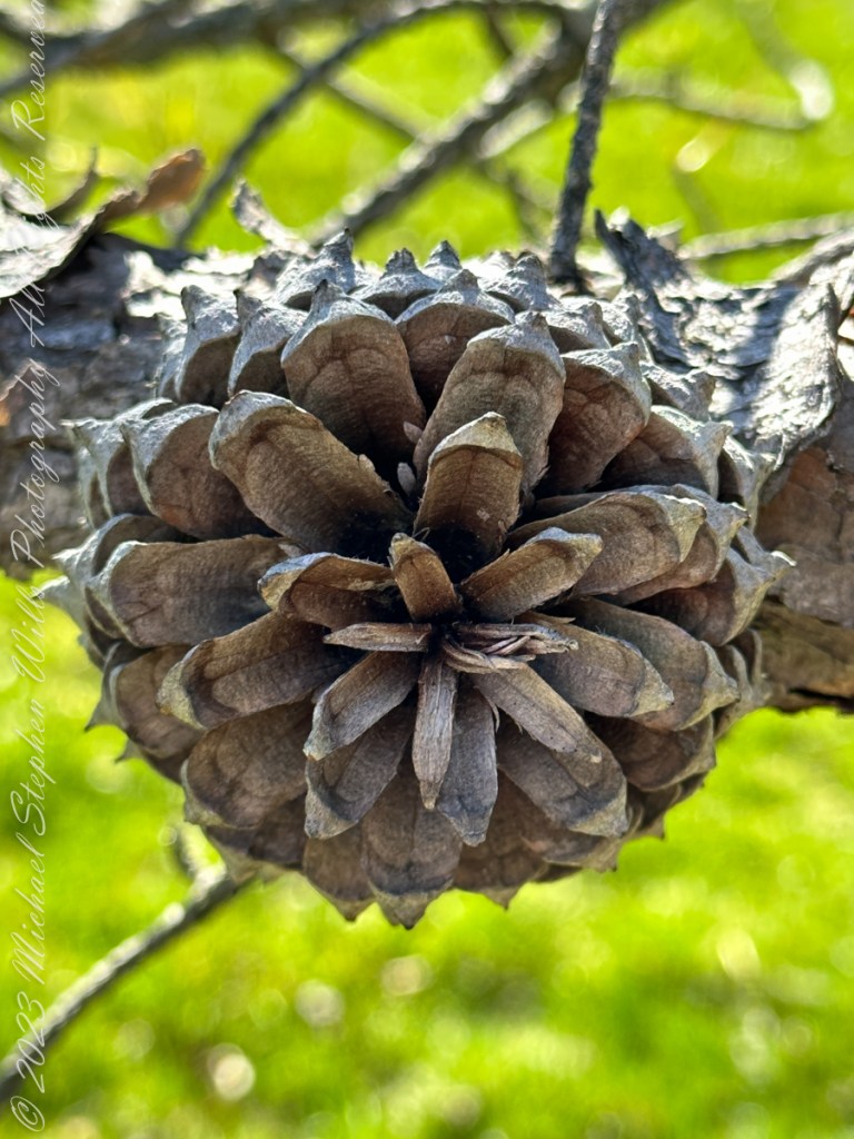
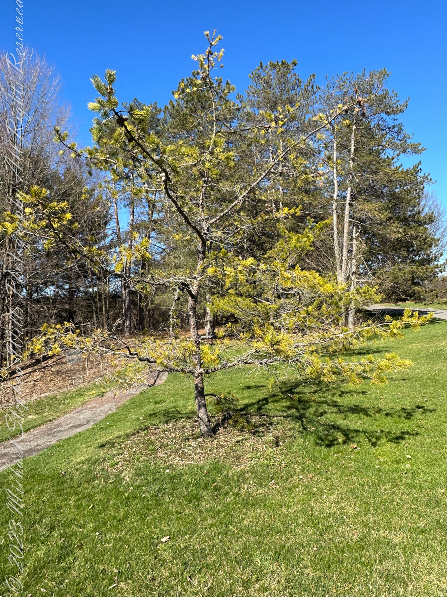
Pam and I ambled around the Arboretum for our Easter 2023 outing. Found here growing outside native range, being the Appalachian Mountains from Georgia to southern Pennsylvania, the Table Mountain Pine is named after the landform, not a particular mountain.
All photography using the IPhone 14 ProMax triple camera, raw format, edited on the phone.
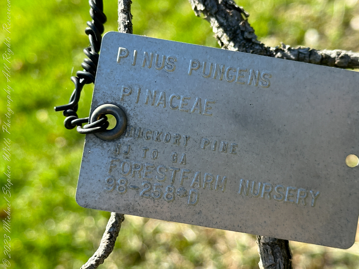
Its pinecones drew me to this scraggly, ungainly, poorly formed tree. All general mankind finds useful in the, scientific name, Pinus pungens, otherwise known as Hickory Pine, Prickly Pine and Mountain Pine, is to grind it up for pulp or chop it for tinder.
Last of the Mohicans
That said, the final scene of the 1992 film The Last of the Mohicans takes place in a nice Pinus pungens stand on a rocky mountaintop in North Carolina.
Personality
The tree has personality. Pinus pungens is the Lonesome Pine of the 1908 novel The Trail of the Lonesome Pine by John Fox, and popularized in the Laurel and Hardy film Way out West: “On the Blue Ridge Mountains of Virginia On the Trail of the Lonesome Pine” Several “Lonesome Pine” hiking trails have been waymarked in the Blue Ridge Mountains and elsewhere in the Appalachians.
Pinecone Bud
Pinus pungens prefers dry conditions and is mostly found on rocky slopes, favoring higher elevations, from 300–1,760 meters (980–5,770 ft) altitude. It commonly grows as single scattered trees or small groves, not in large forests like most other pines, and needs periodic disturbances for seedling establishment. The three tallest known ones are in Paris Mountain State Park, South Carolina; they are 26.85 to 29.96 meters (88 ft 1 in to 98 ft 4 in) tall.
Reference: “Pinus pungens” Wikipedia.
Copyright 2023 Michael Stephen Wills All Rights Reserved
Pam and I ambled around the Arboretum for our Easter 2023 outing. A type of sandstone popular with Cornell monument builders, called “Lenroc” after a mansion build by Cornell’s founder, was used for these benches built into the hillside of the FR Newman Arboretum. The views are more interesting than the bench, the arch of stone in midground in one photo.
All photography using the IPhone 14 ProMax triple camera, raw format, edited on the phone.
The stone is mined locally from surrounding hills. Calling it “Lenroc” (Cornell spelled backward) is a misnomer as the stone is mined widely throughout the region.
Feldspathic Greywacke
“Bluestone from Pennsylvania and New York is a sandstone defined as feldspathic greywacke. The sand-sized grains from which bluestone is constituted were deposited in the Catskill Delta during the Middle to Upper Devonian Period of the Paleozoic Era, approximately 370 to 345 million years ago…..
Glacial Landscape on an early spring day, Easter 2023
Textures
…The Catskill Delta was created from runoff from the Acadian Mountains (“Ancestral Appalachians”). This delta ran in a narrow band from southwest to northeast and today provides the bluestone quarried from the Catskill Mountains and Northeastern Pennsylvania. The term “bluestone” is derived from a deep-blue-colored sandstone first found in Ulster County, New York.”
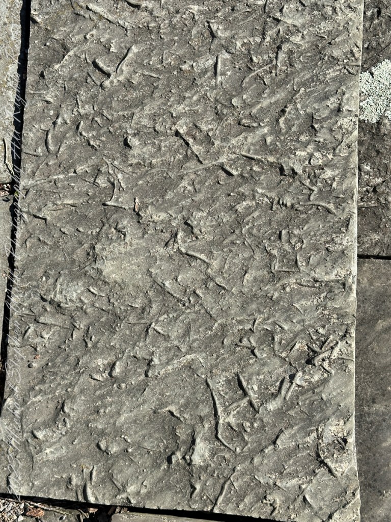
You can feel the origin of this bluestone from these macros of two pavers from a monument bench.
Reference: “Bluestone” Wikipedia.
Copyright 2023 Michael Stephen Wills All Rights Reserved
Pam and I ambled around the Arboretum for our Easter 2023 outing. Ezra Cornell had a large farm on the East Hill above Ithaca, New York. As part of locating New York State’s land-grant college in Ithaca, Cornell offered to donate the farm for use as a campus. Parts of this property remain in use as farmland. Our walk followed the outer Arboretum reaches along this research farm.
All photography using the IPhone 14 ProMax triple camera, raw format, edited on the phone.
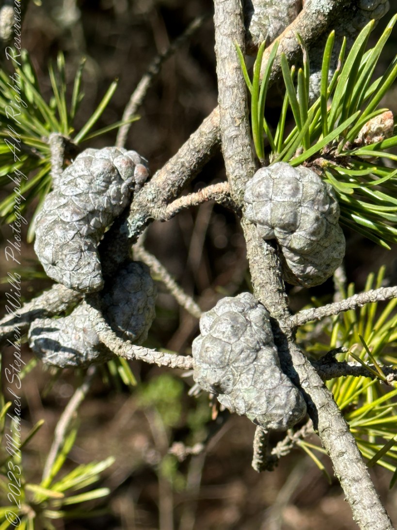
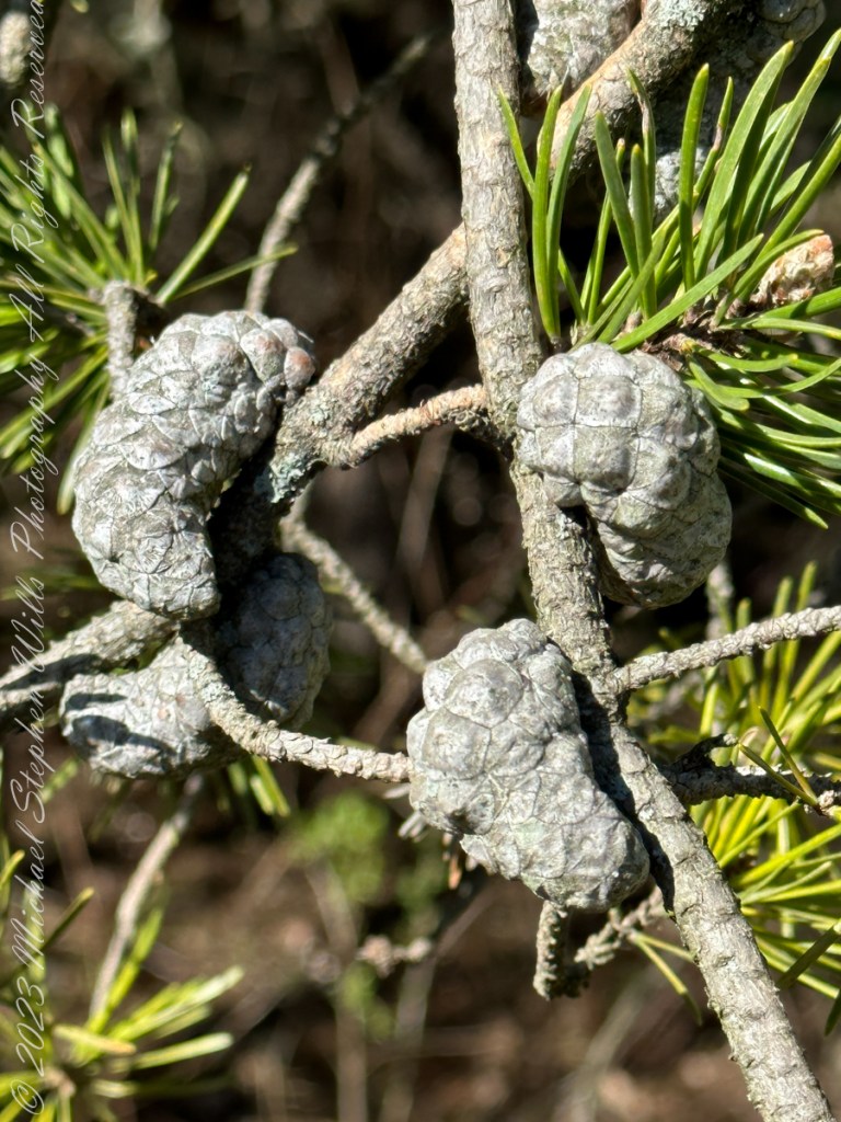
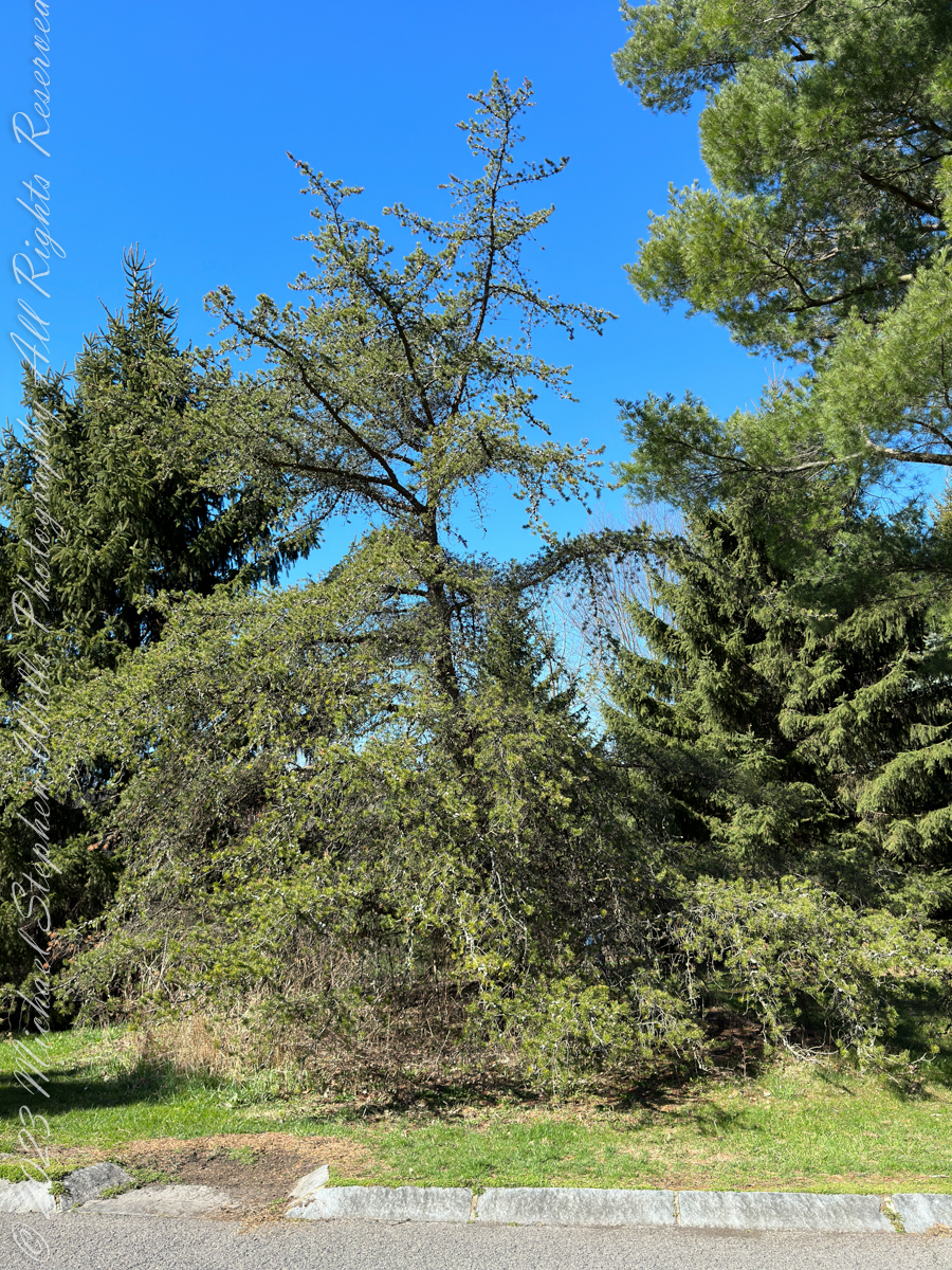
Growing off the road that loops around the Arboretum, this scraggly pine, the Jack Pine, attracted our attention by the grey colored growths curving around the branches
Serotinous
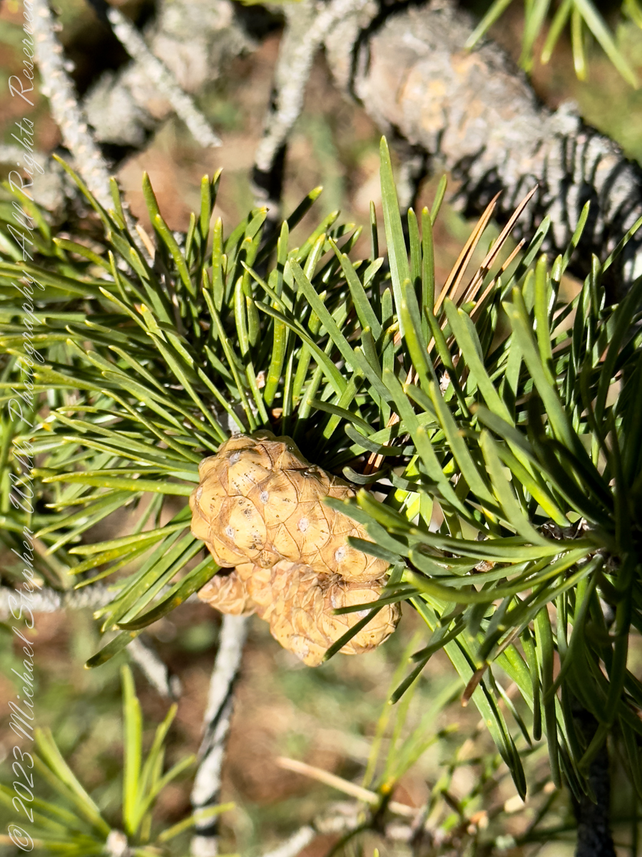
These are pinecones with the unusual property of not opening, hanging onto the branch, turning this color, until the appropriate conditions arise, serotinous is the botanic term for this. They open when exposed to intense heat, greater than or equal to 50 °C (122 °F). The typical case is in a fire, however cones on the lower branches can open when temperatures reach 27 °C (81 °F) due to the heat being reflected off the ground.
The Color of Younger Jack Pine Cones
Form and Behavior
Tolerant of conditions that preclude other trees, Jack Pines can form pure stands on sandy or rocky soil. It is fire-adapted to stand-replacing fires, with the cones remaining closed for many years, until a forest fire kills the mature trees and opens the cones, reseeding the burnt ground.
Native
Pinus Banksiana, Pinaceae, Jack Pine, Nova scotia to New York and Minnesota
Joseph Banks classified this pine during a 1766 expedition to Labrador and Newfoundland, the scientific name, Pinus Banksiana, is in his honor. Jack Pine is native to eastern North America in the far north, south to northwestern Pennsylvania, including New York State.
Copyright 2023 Michael Stephen Wills All Rights Reserved
As of April 5th 1181 is the count of subscribers to this blog, an interesting number. The individual numerals sum to a prime number, 11. I appreciate each and every “1” added together, you readers. Thank You.
Coincidentally, yesterday 1,200 of my blogs are published….Here is a selection of images from these posts.
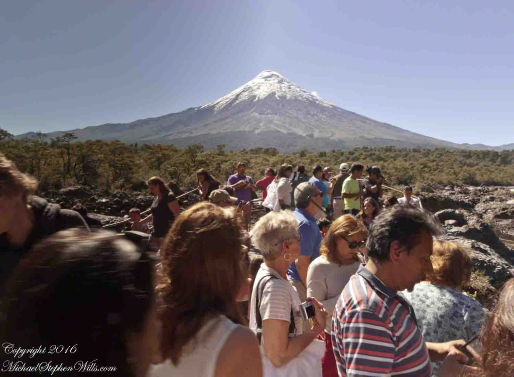
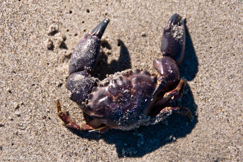
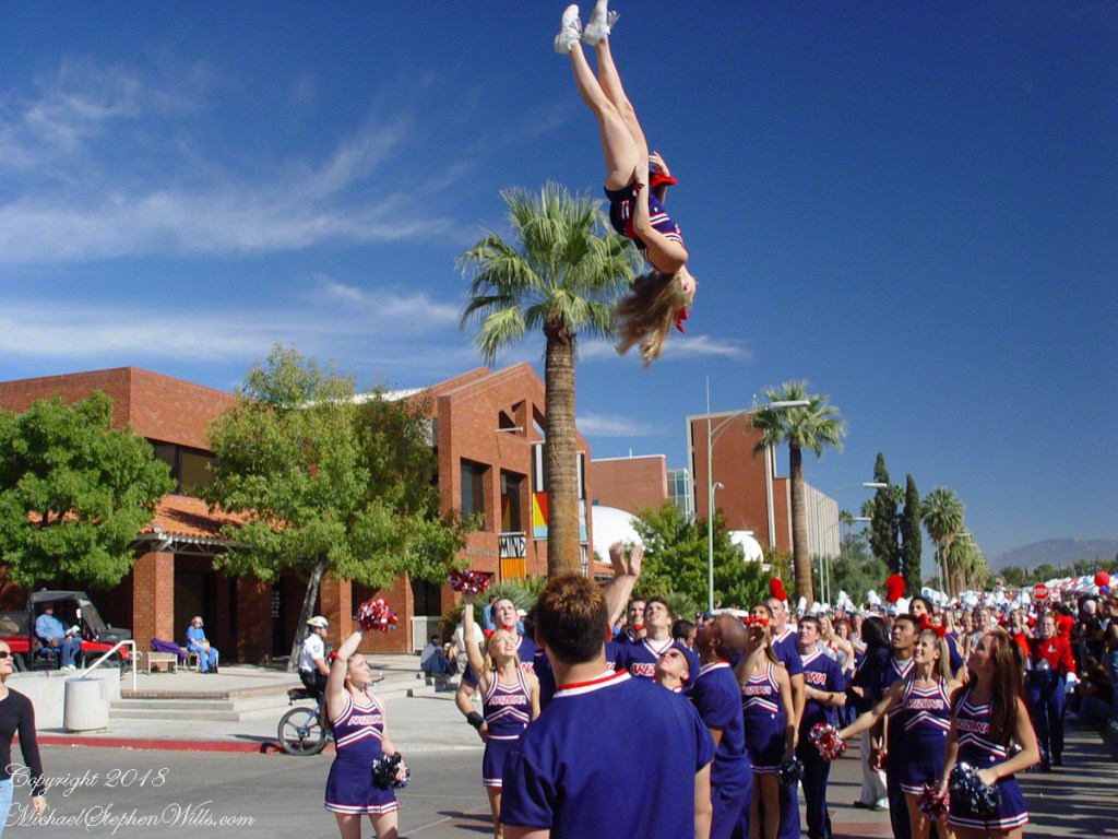
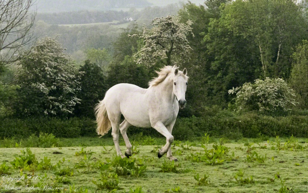
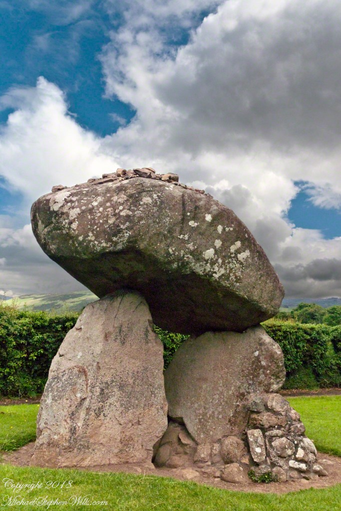
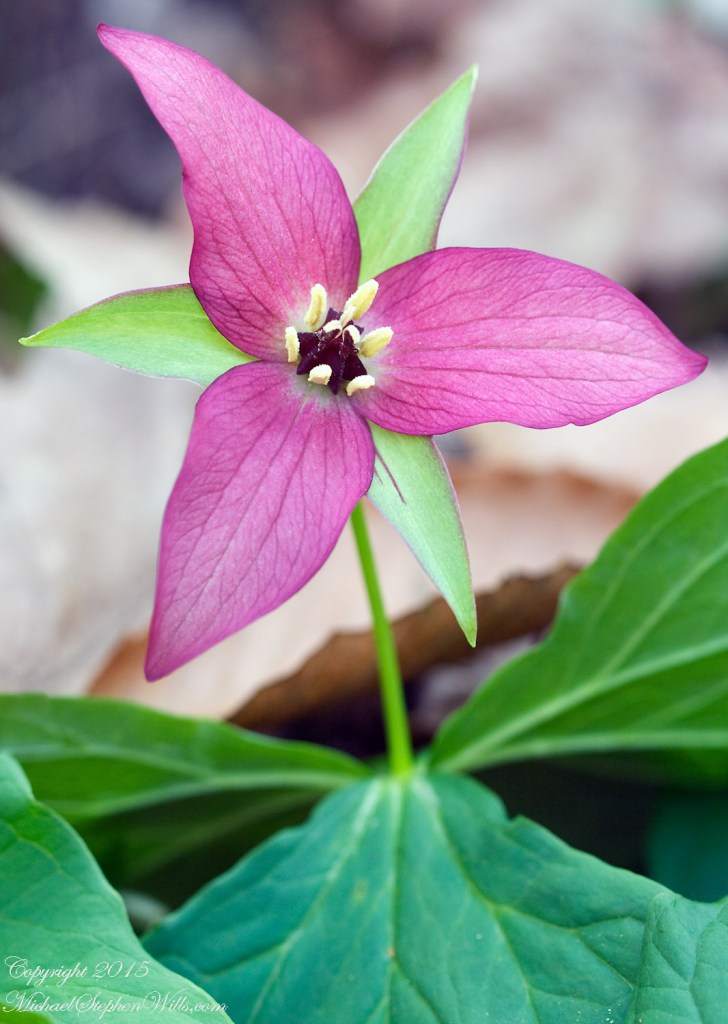
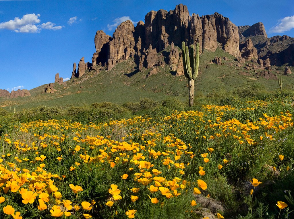
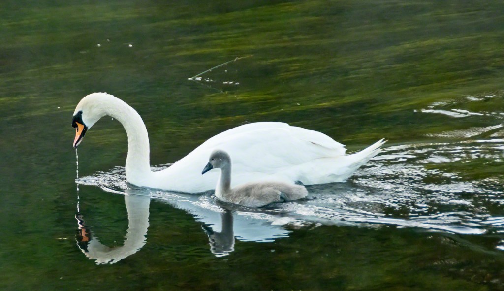
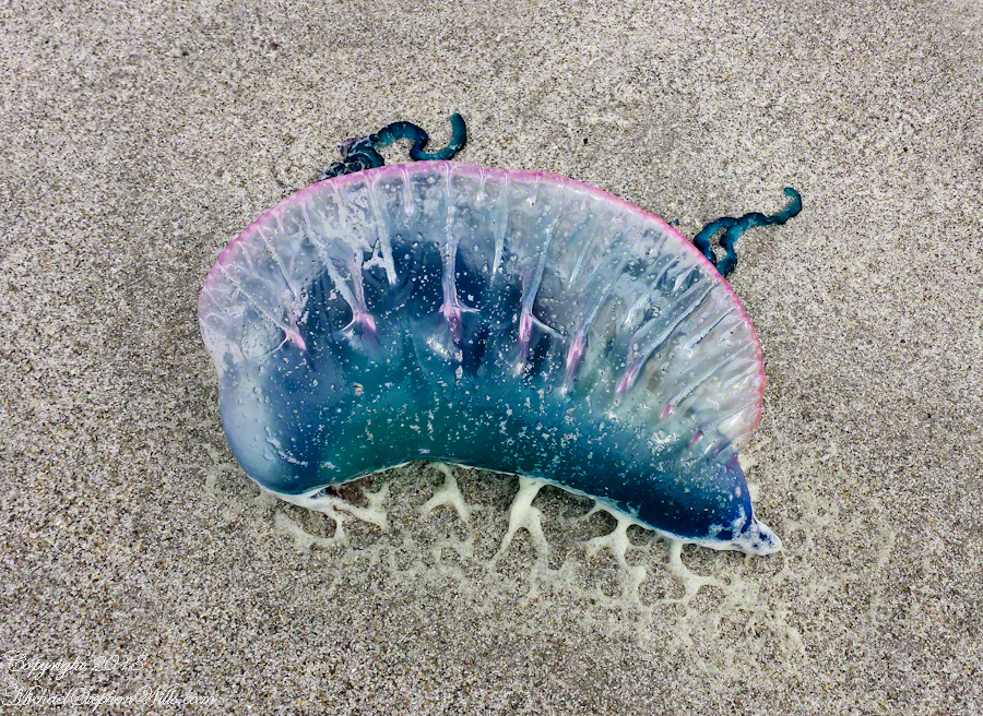
The trail at Petrohue Falls is packed with tourists on a sunny summer afternoon.Pam and Mike Wills stayed with Marantha House B&B, during our Spring 2014 Ireland Tour. It was our base in County Cork. Our day of arrival, that evening, I visited Charlemagne and fed him an apple, saved from dinner. We learned from our hosts, Olwen and Douglas Venn, he is a retired show horse they rescued. The following morning I visited Charlemagne again with an apple and my camera. As I walked up, starting from the far end of his field, Charlemagne rewarded me with a series of astounding poses, trotting toward me in fine form. The morning mists, hawthorn in bloom, distant hills came together for this memory.Newlyweds on Cocoa Beach waiting for the photographer in a perfect early evening light. A cruise ship departing from Port Canaveral in the distance.Trillium bloom April through May in central New York State. I found these blooming on the rim of Fillmore Glen near Owasco Lake and the town of Moravia.Don Roberto is on the bowMexican Poppies bloomed in profusion throughout the Superstitions after the plentiful winter rains of 2008.Pamela and Michael Wills with Iceberg Glacier, Bernardo O’Higgins National Park, Fjord Tempanos, Chile aboard the Oceania RegattaA swan and cygnet feeding from the pristine waters of the River Cong, County Mayo, Ireland. Outside the door of Ashford Castle.Ocotillo SunsetThe crest of the Portugest Man of War is very visible in the water, the sac can be inflated/deflated to catch the wind or even sink the organism to escape surface feeders.Another solution to the crooked horizon is to level, crop, and build out the lost portions, as I did here. Very time consuming….better to keep the horizon level in the camera, difficult for me to remember.Taken from the entrance.Hydrangea Ensenada ClubAleman Chile February 15, 2016
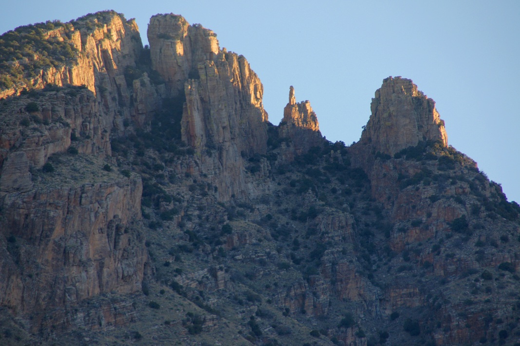
My visit to Finger Rock Canyon of the Santa Catalina Mountains filled two mornings. On the first morning, the subject was the lower canyon as morning light filtered over the eastern ridge.
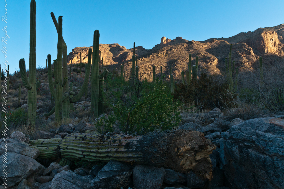
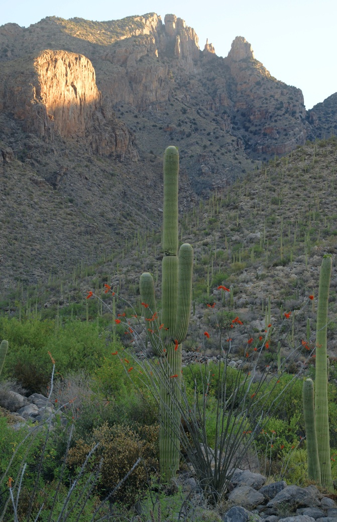
Early morning to the north / northwest looking over a 20-foot fallen Saguaro Cactus (Carnegiea gigantean), toward lower ridges of the Santa Catalina Mountains. The saguaro is among a stand of healthy fellows, some with new growth and flowers on the tips of arms and main columns. This giant must have grown over rock through 60 years. It was brought down when the roots weakened. Specimens that are more reliably rooted can live to 200 years.
A clump of brittlebush shrub (Encelia farinosa) grows from the same rock.
Pima Canyon is the next over, behind that near ridge which provides similar shade. Unlike Finger Rock Canyon, the Pima Canyon trail follows the western cliff and loses the shade much sooner. During our three-week trip, my wife, Pam, and I visited Pima in our first week.
These photos were taken between 6:20 and 7:00 am.
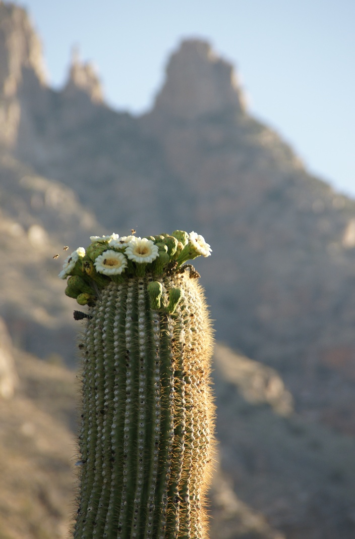
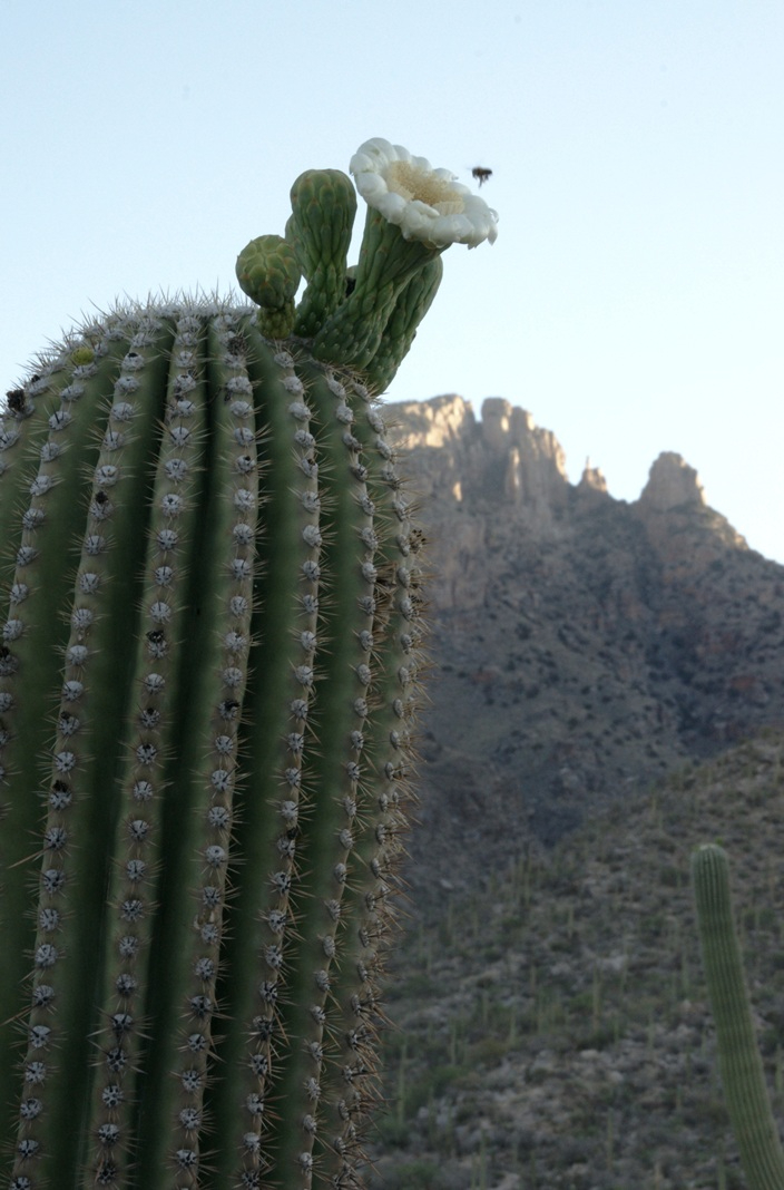
Along the trail I noticed a multitude of buds on the tip of selected saguaro arms. In a previous blog, there’s a photo of this same saguaro in the shade. The following series captures the one blossoming top just as the sun passes over the eastern, shadowing, ridge.
The same saguaro, two minutes later…….
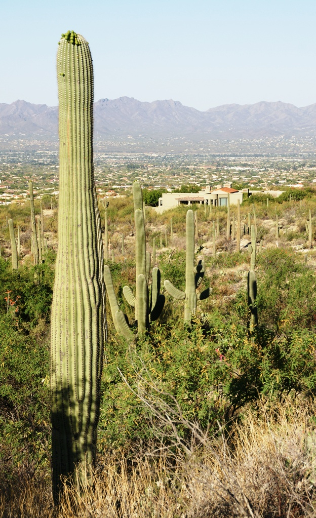
Here is a portion of the saguaro forest, around 7 am with the lower canyon filled with light. There are a few foothill homes with west and southwest Tucson. The Tucson Mountains are in the distance.
The perfection of April in Tucson is nowhere better than mornings spent in Finger Rock Canyon of the Catalina Mountains. Oriented on a north/south axis, the eastern cliffs shed a long shadow well past 9:30 am. For early risers such as me, this means no hat and cool hiking to the canyon head: the trail hugs the eastern cliffs.
These three shots were taken 5:30 – 6:00 am mountain time (Arizona does not follow daylight savings time except on the Navajo Reservation).
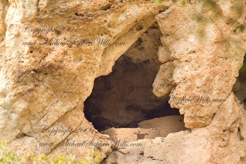
About 700 years ago, when the expansion of the Mongol empire was under way, on the other side of the planet people discovered a series of caves, formed in tuff, with a favorable location in a south facing cliff near water. Tuff, a rock formed from volcanic ash, is hard, brittle and soluble in water. From these properties this series of caves formed. The southern exposure provided excellent climate control for people, like those we now call the Salado, who understood how to exploit the location.
They constructed from local materials (mud, plants and rock) rooms in the upper cave just far enough inside to be warmed by the winter sun and protected during the summer when the sun’s sky-path was higher. Who knows how long the Salado lived in what must have been this paradise or why they left.
In March 2006, after returning from a nine-day backpack trip to the remote eastern Superstition Wilderness I used a four-wheel vehicle to reach the Roger’s Trough trailhead for a day trip to this site in Roger’s Canyon. The advantage of Roger’s Trough is the high elevation that leaves “just” about 1,100 feet of climbing (2,200 total) for the day. As it happens, it is downhill to the ruins though there is plenty of ups and downs plus scrambling over rocks.
I started late morning and a returning party met me on the way out and warned against leaving packs unattended. It seems they were victimized by pack rats. My timing was lucky and I had the site to myself.
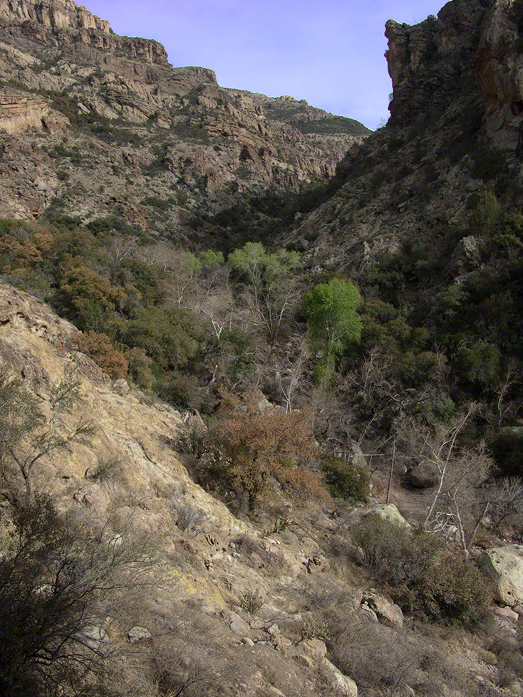
First (refer to the “Roger Canyon” photograph, above) I climbed the cliff opposite from the ruins to set up a tripod an telephoto lens to shoot through the trees to capture the main building inside that very interesting looking tuff (see below). That central column (to the right) divides the cave opening and there are views from inside, up and across the canyon. In season, the cliffs are occupied by nesting birds and, higher up, there are fascinating caves in locations too high and steep to reach without the proper equipment.
As it is, climbing into the upper cave requires an exposed rock scramble. By “exposed” I mean the climber is exposed to falling. That is an intact wooden lintel of the visible structure opening and the larger structure, to the right, has curved walls.
Salado Cave Ruin
I then explored in and around the site. The location of a lower cave made it useful for storage, it was walled off and the sturdy structure still stands today. By the way, I inverted this view for artistic purposes.
Lower Storage Room
A lower cave is opened and accessible. Looking out, I felt the original inhabitants were with me and then a raven started calling over and over and over.
Lower Cave
I was so fascinated by the possibilities of the site that time got away from me until this incessant cawing of a raven made me notice the lengthening cliff shadows. Here is a view (see below) of my way home, back up Rogers Canyon. My last shot before packing up. It took just over two hours to get out, at a steady pace. It was twilight as I approached the Rogers Trough trail head.
By the way, my posting before this one (“Finding Circlestone”) includes a shot of White Mountain. In that view, these ruins are on the other side of White Mountain.
View up Rogers Canyon from the Ruins
Copyright 2023 Michael Stephen Wills All Rights Reserved
Pam created this tableau in our den to celebrate our 14th wedding anniversary.
My card to Pam is on left, Her’s to the right. Pam presented these ceramic elephants to Michael on their 14th Wedding Anniversary, Monday, March 20, 2023. Ivory is the traditional gift for the 14th.
Pam’s card is a illustration of solid and variegated tulips, a spring flower.
On Michael’s card is a Spine-cheeked ClownFish. This fish species lives among the tentacles of the Bubble-tip sea anemone, also in photograph. “Both organisms form a symbiotic relationship: the clownfish will rarely stray more than a few yards from its stinging tent of protection. The anemone benefits from the darting antics of the clownfish, which protect the anemone from its predators.” Quote from the Sierra club. Photograph on card by Mike Bacon.
Copyright 2023 Michael Stephen Wills All Rights Reserved