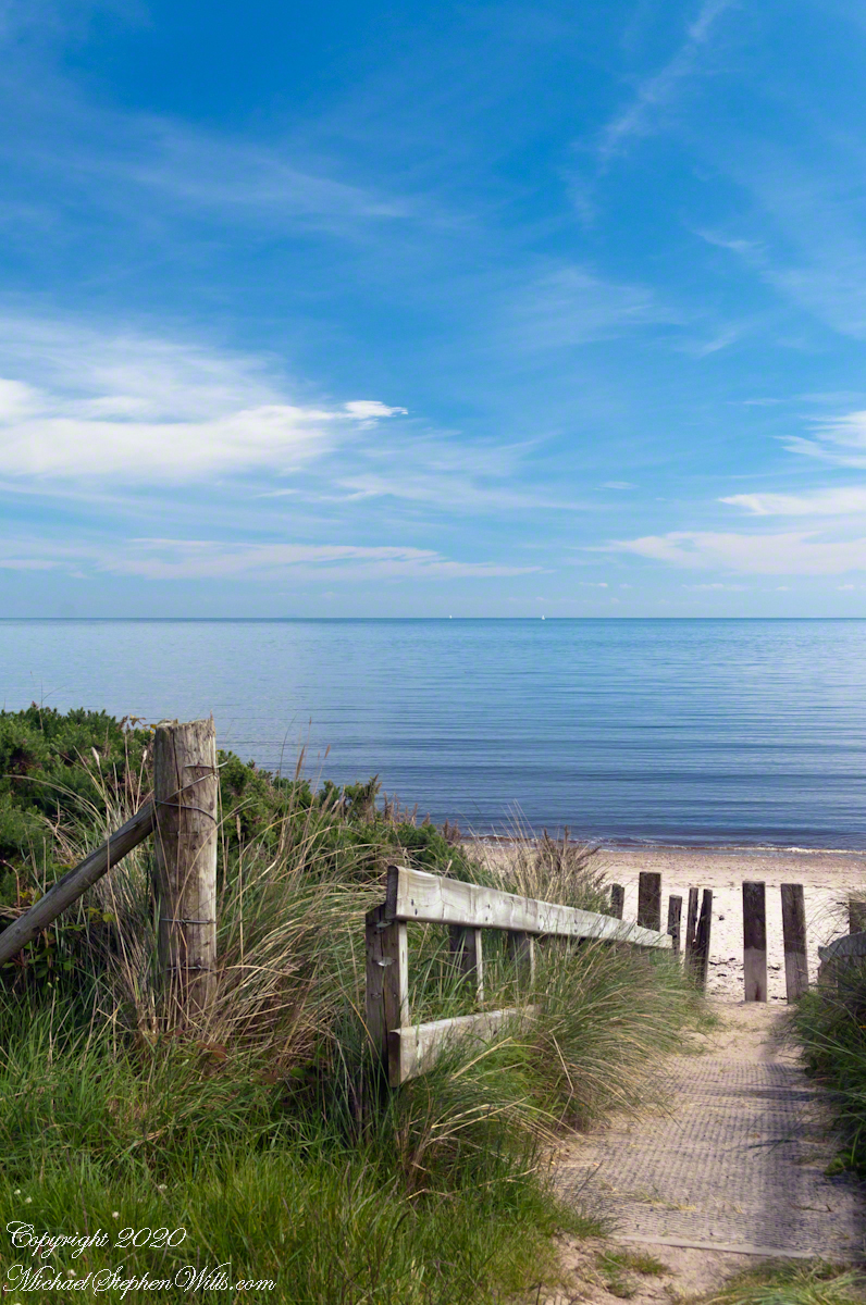
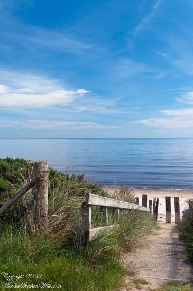
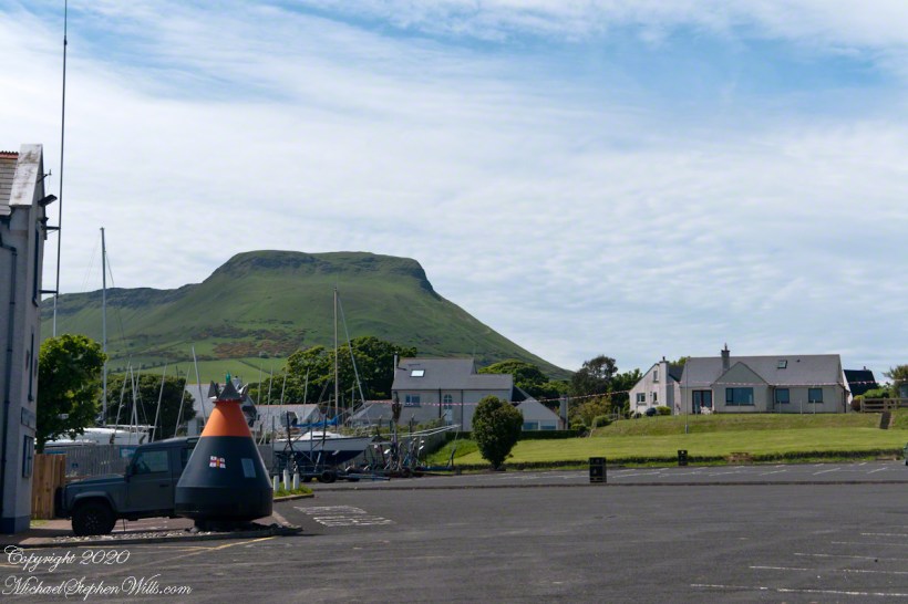
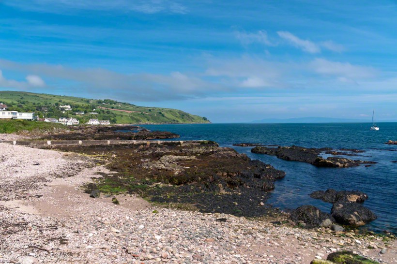
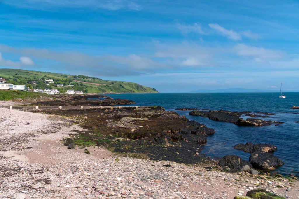
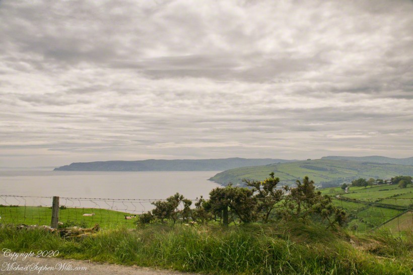
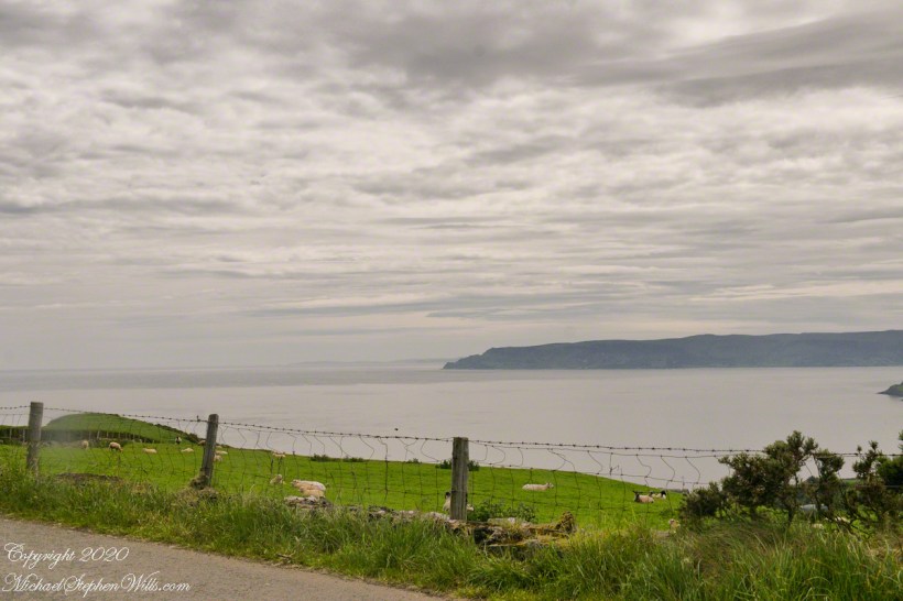
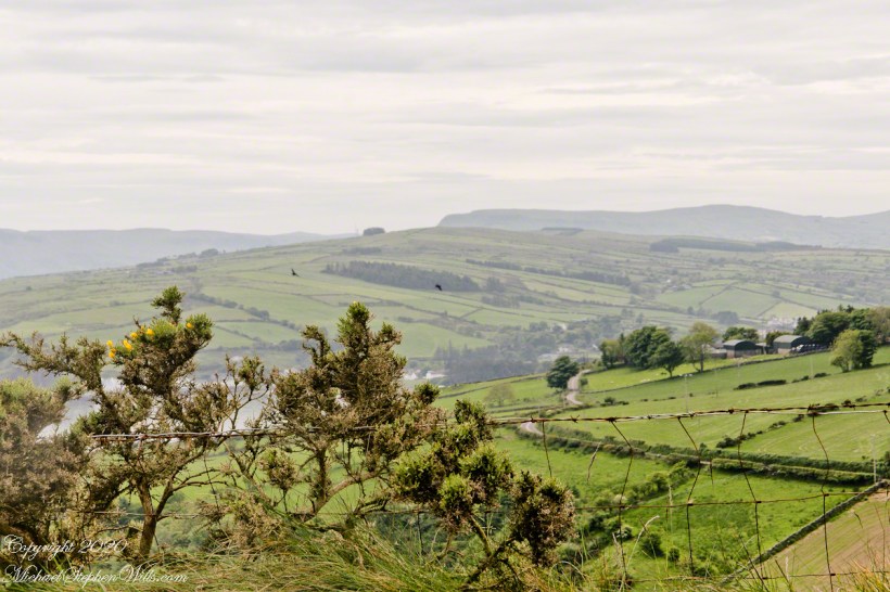
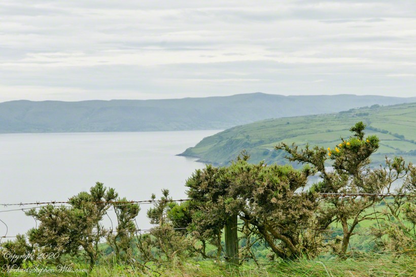
Standing on the beach at Cushendun village, looking west towards the glens. The Antrim coast is notable for the rising tablelands of broad, eroded valleys, or glens.
Click photograph for a larger view. To do this from WordPress Reader, you need to first click the title of this post to open a new page.
SONY DSC
Copyright 2020 All Rights Reserved Michael Stephen Wills
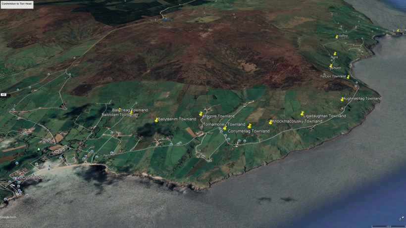
Here is a view of our route to Torr Head standing on the beach at Cushendun, facing north. The village name in Irish is Cois Abhann Doinne, meaning at the foot of the river Dun, the land here and bay formed by the outflow of rivers from the glens.
Click photograph for a larger view. To do this from WordPress Reader, you need to first click the title of this post to open a new page.
Copyright 2020 All Rights Reserved Michael Stephen Wills
In 3.1 miles Torr Road passes nine townlands between Cushendun and Torcorr Townland, each with a namestone holding the Irish and Anglicized name. We can walk it in an hour at a steady pace, the terrane is sliced up so.
Click photograph for a larger view. To do this from WordPress Reader, you need to first click the title of this post to open a new page.
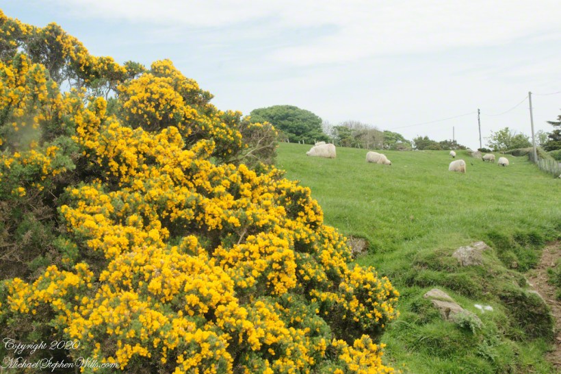
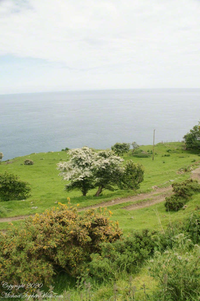
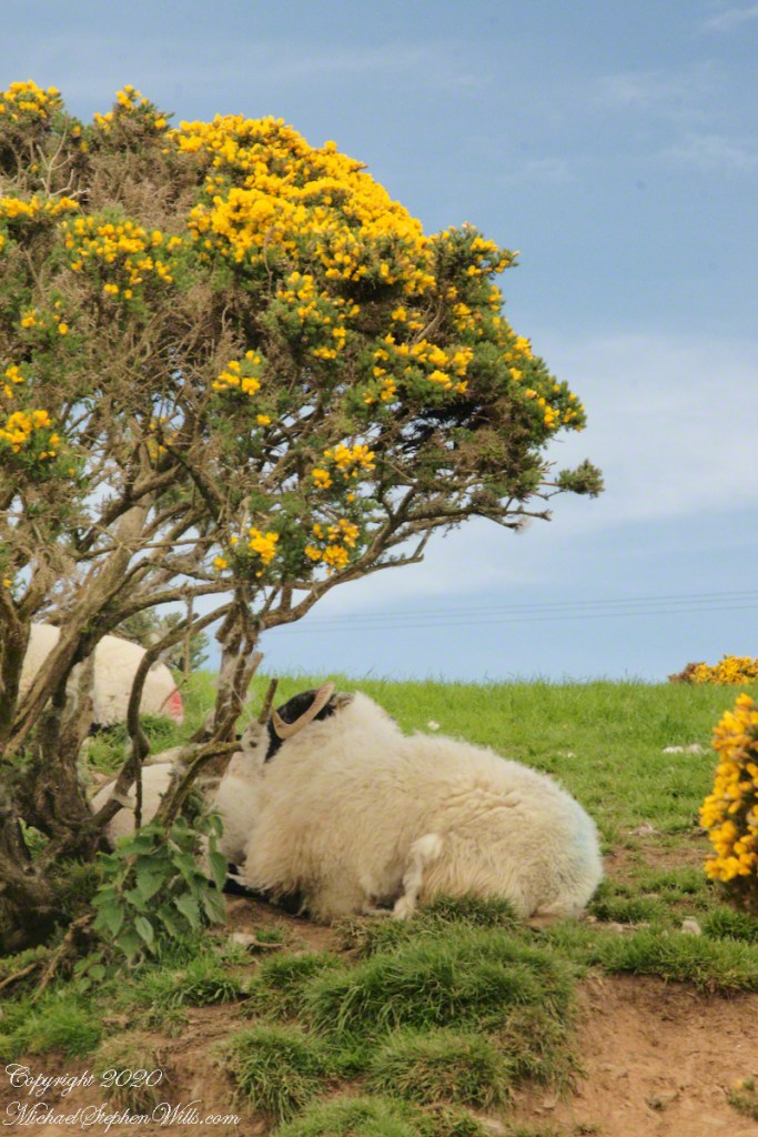
Whin Bush in flower
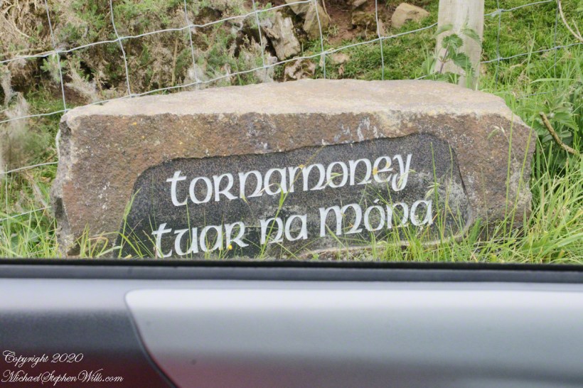
Tornamoney townland is “Cattle Field of the Bogland.” That is the car door, foreground.
SONY DSC
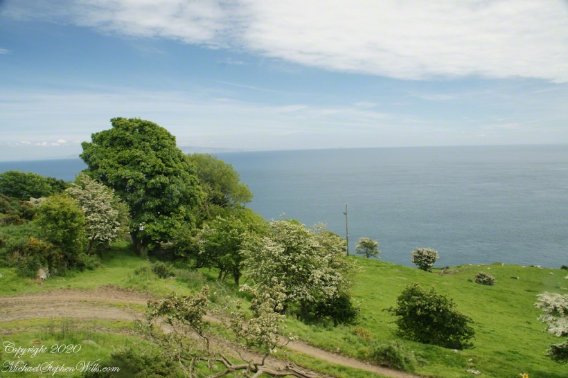
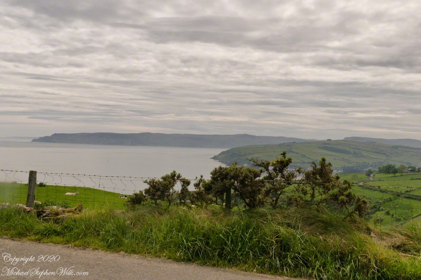
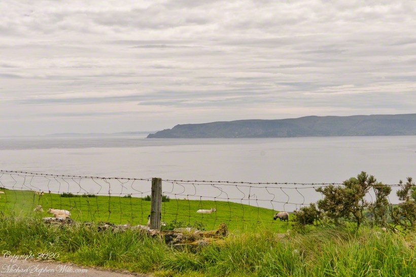
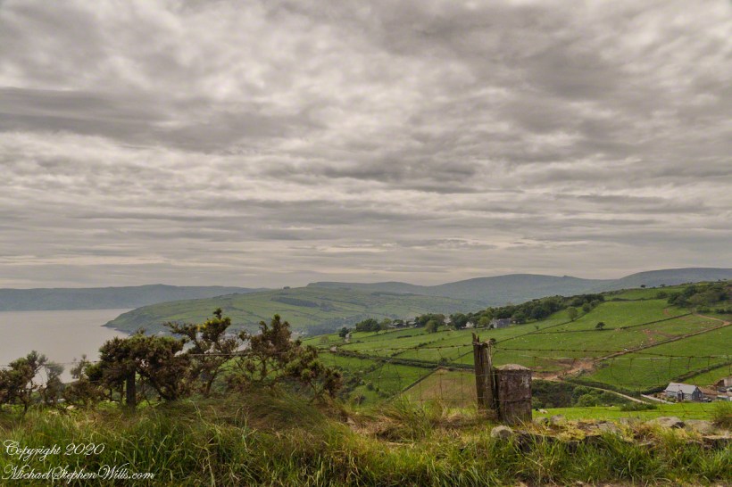
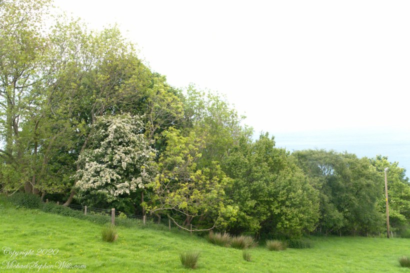
Common to all was the slope down to the North Channel.
SONY DSC
SONY DSC
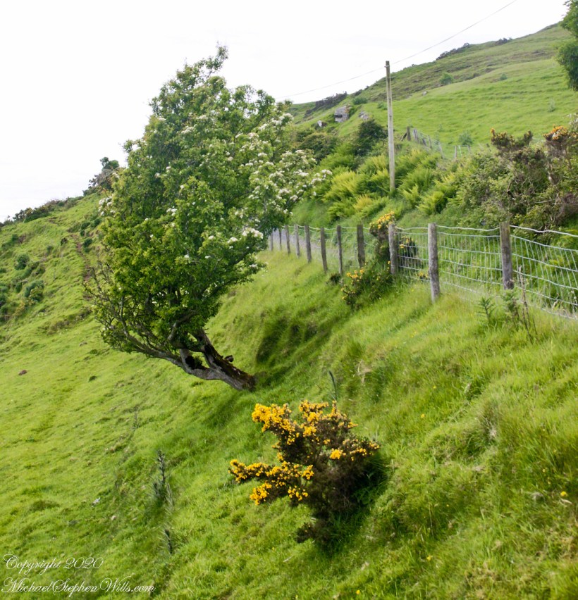
Rowan Tree directional growth from a constant east wind..
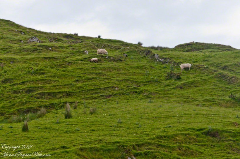
Sheep pasture above the Loughan Cottage ruins.
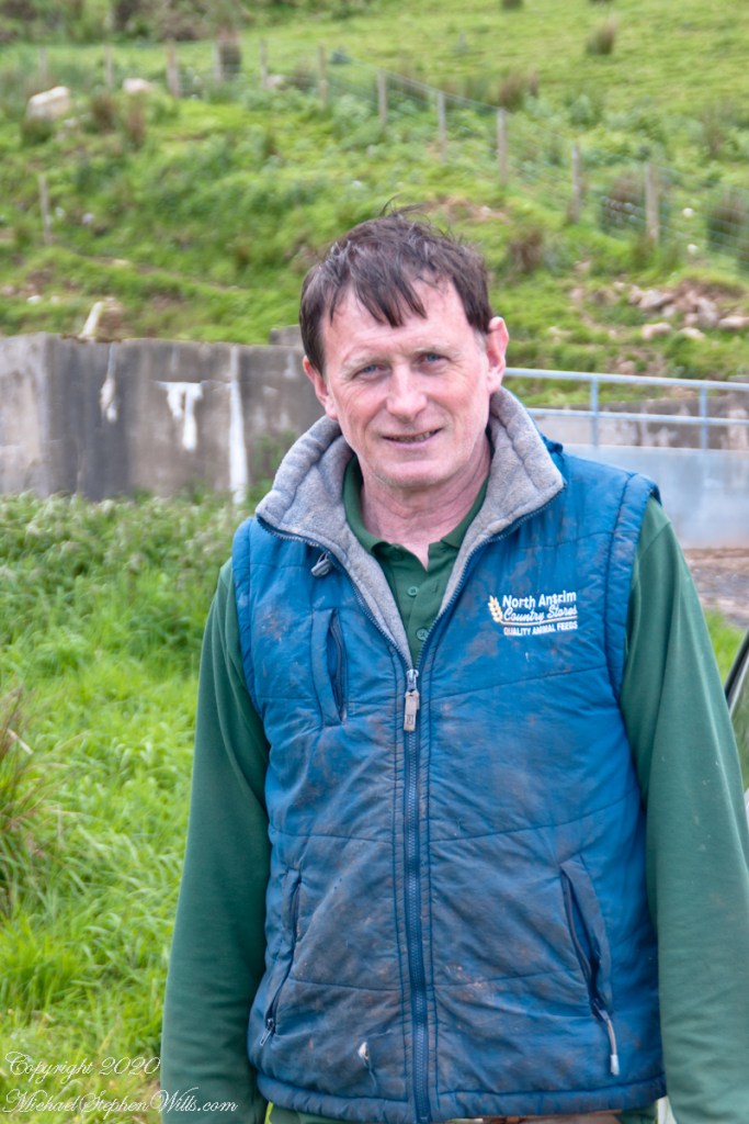
Here is the friendly owner who climbed off his tractor for a chat with Pam while I photographed.
SONY DSC
Here is a slideshow of this post’s images. To visit from WordPress Reader, you need to first click the title of this post to open a new page.
SONY DSC
Copyright 2020 All Rights Reserved Michael Stephen Wills
Torr Road passes nine townlands between Cushendun and Torcorr Townlands, each with a namestone holding the Irish and Anglicized name. Here are a few interesting names.
Click photograph for a larger view. To do this from WordPress Reader, you need to first click the title of this post to open a new page.
“Ballindam” is derived from the Irish “Baile an tdam”, the Anglicization is the sounding out of Irish. Baile is “town” and “an tdam” is on the dam.
Headed uphill, the next is “Ballycleagh”. Bally is the English pronunciation of Baile. I found “cleagh” on Google translate under “Scots Irish” for “Well.” So, this is the town of the well.
Here is a sheep lookout at the aptly named, Alt gabhair townland, Irish for “Goat Section.” Otherwise known as Altagore.
Here is a slideshow of this post’s images. To visit from WordPress Reader, you need to first click the title of this post to open a new page.
Copyright 2020 All Rights Reserved Michael Stephen Wills
Click photograph for a larger view. To do this from WordPress Reader, you need to first click the title of this post to open a new page.
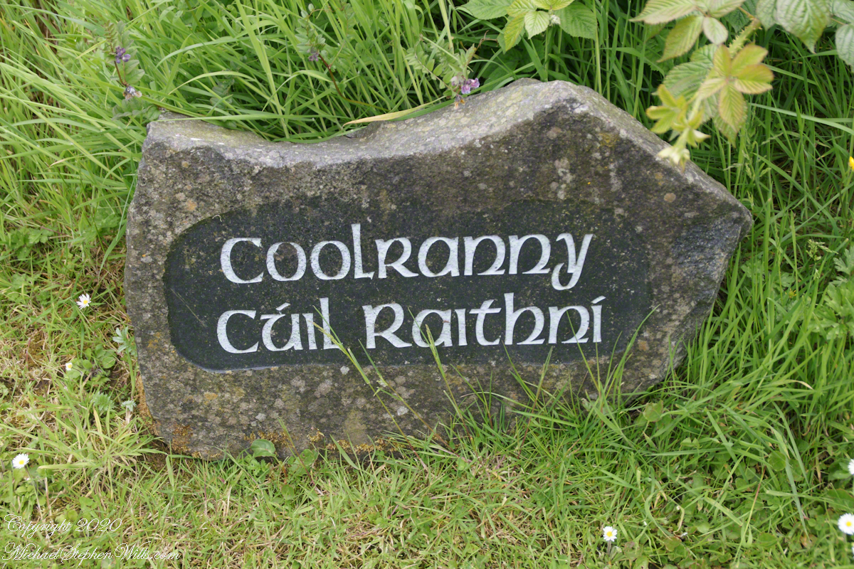
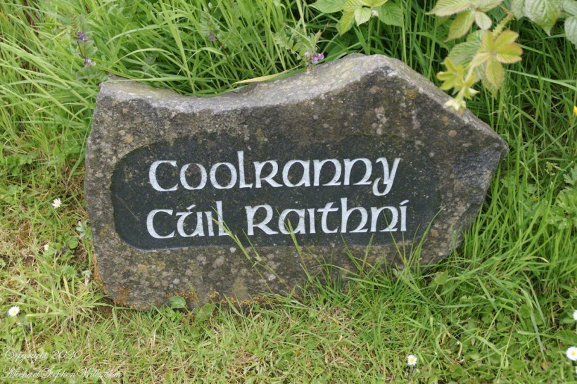
The words carved on this namestone are from ancient Irish language with “Cuil” (a recess) and “Raithni” (possessive case of the noun for bracken, a type of fern). In other words, recess of ferns. The anglicized name, “Coolranny,” is the untranslated sound of the Gaelic place name.
The road to Coolranny starts at the foot of Glendun, Cushendun village. Here is the view over Cushendun and its sheltered harbor as Torr road climbs in a series of switchbacks to Torcorr townland.
Here is a slideshow of this post’s images. To visit from WordPress Reader, you need to first click the title of this post to open a new page.
Found along Torr Road in Coolranny townland.
Copyright 2020 All Rights Reserved Michael Stephen Wills
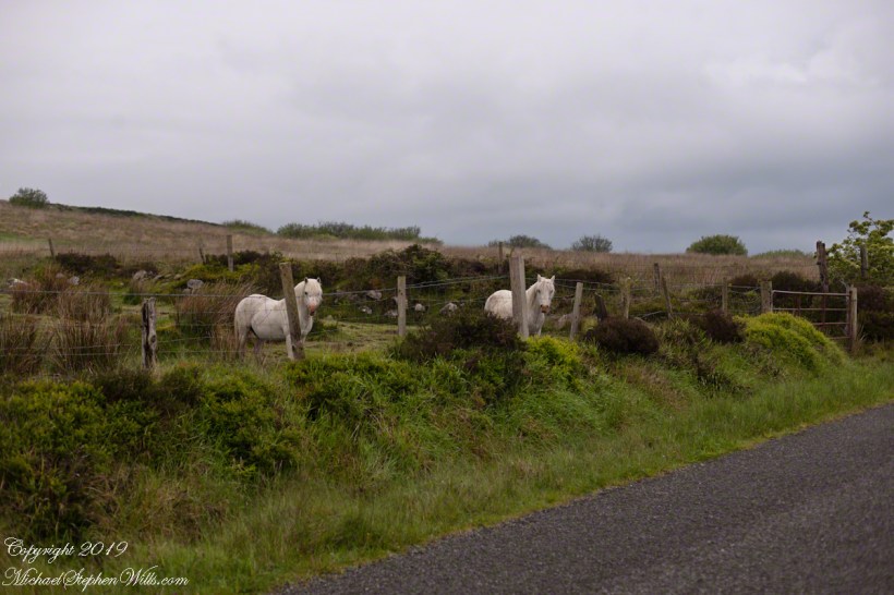
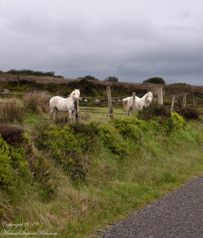
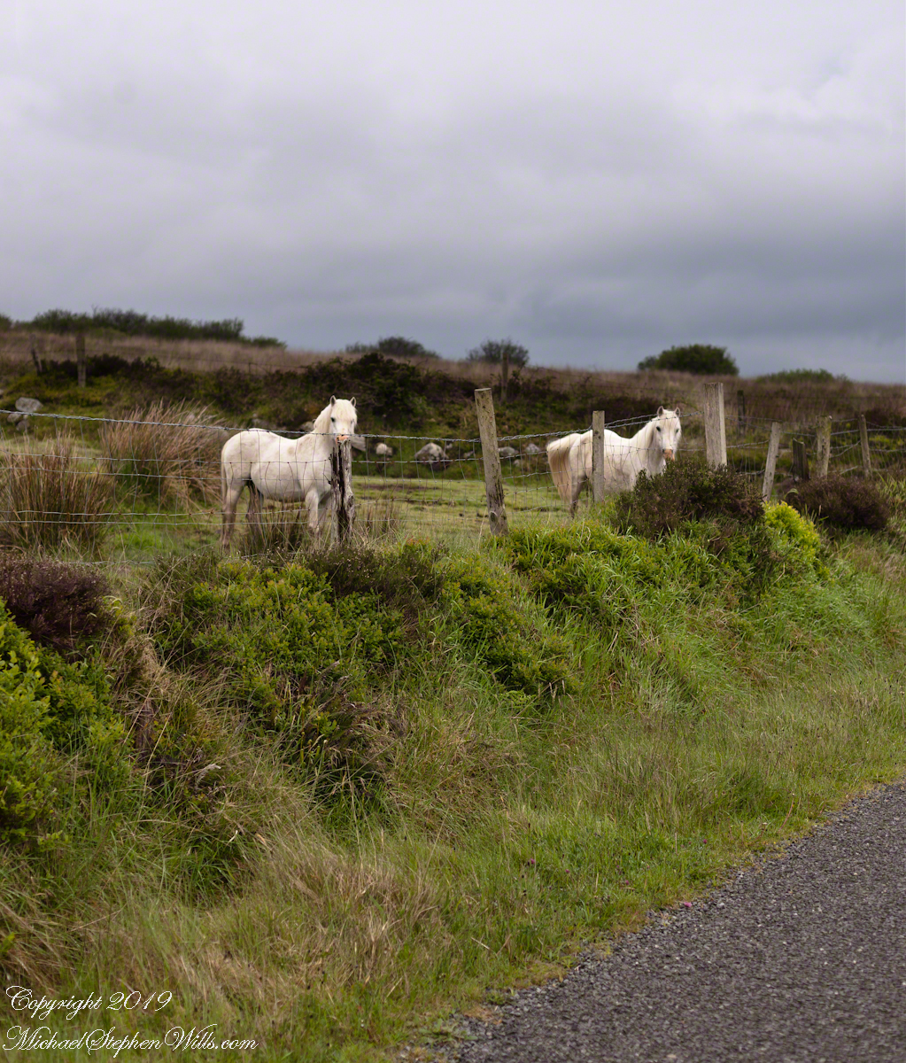
One May early morning two white horses come down from a sloping pasture on Slievenaglogh to view an interloper taking photographs. Slievenaglogh Townland, County Louth, Ireland.
Slievenaglogh Townland, County Louth, Ireland.
This I used the Canon EF 50mm f/1.4 USM lens. It is two shots, the first in horizontal, the second in vertical mode.
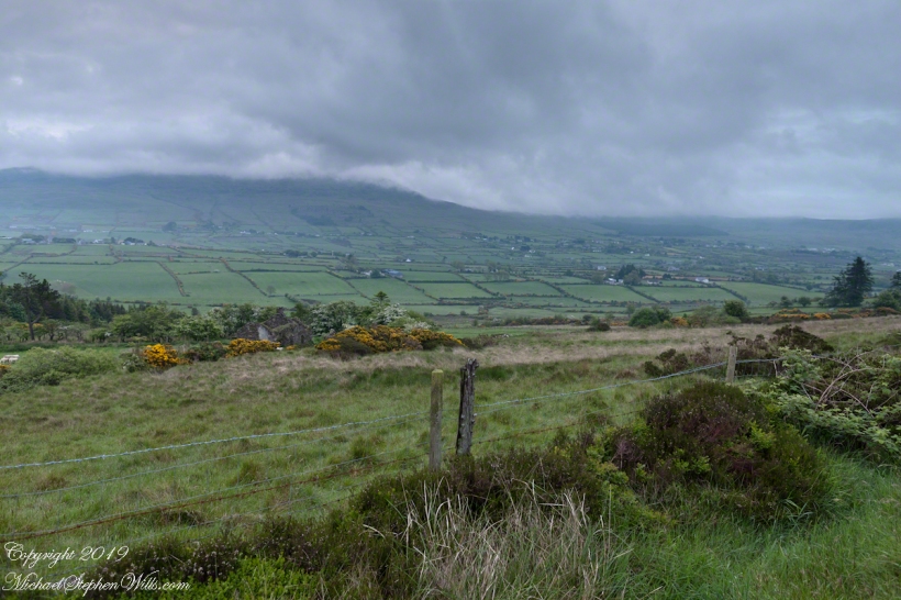
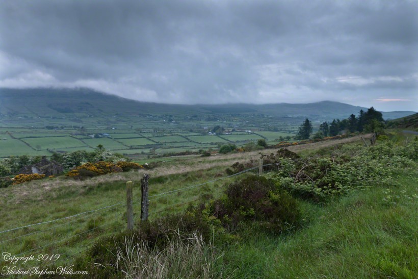
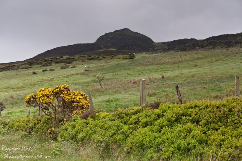
On the northeast slope of Slievenaglogh peak (Irish: Sliabh na gCloch) on the road from Mullaghattin Townland to Riverstown. This day I swapped lenses and took in the same general direction for each. This is the first and last of a series using the Canon EF 50mm f/1.4 USM lens and I pulled in the shots from the Canon 24mm f1.4 L II USM lens, published in previous posts.
Click photograph for a larger view. To do this from WordPress Reader, you need to first click the title of this post to open a new page.
Slievenaglogh View, northeast, 50mm
Slievenaglogh View, northeast
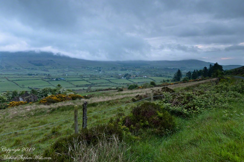
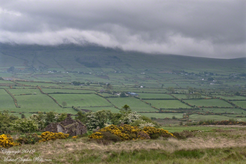
Here we look northeast from the Slievenaglogh Townland over the valley between Slievenaglogh and Slieve Foy peaks. Slieve Foy is the far ridge lost in clouds.
This is the first and last of a series using the Canon EF 50mm f/1.4 USM lens.
Slievenaglogh View, north northeast. 50mm
Slievenaglogh View, north northeast
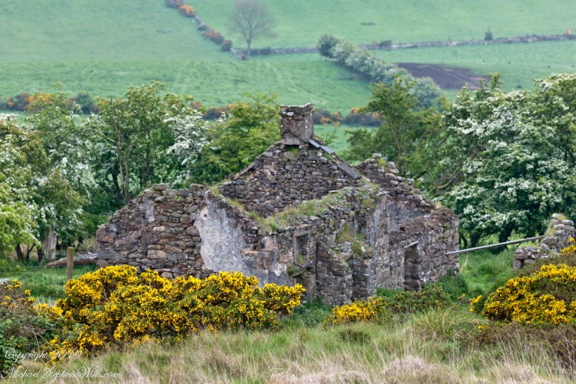
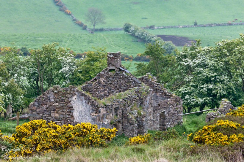
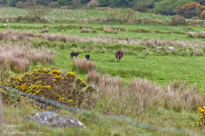
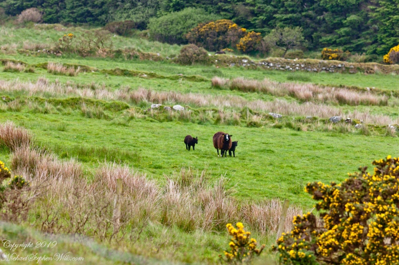
The view includes Little River, Castletown River, Ballycoly and Glenmore Townlands. Adjacent is a sheep pasture with a farm ruin behind the yellow flowered gorse (Whin bush, scientific name Ulex).
Slievenaglogh View, east, 50mm
Slievenaglogh View with road, east
Early morning, late May 2014.
Here is a slideshow of the 50mm and 24mm images of this post.
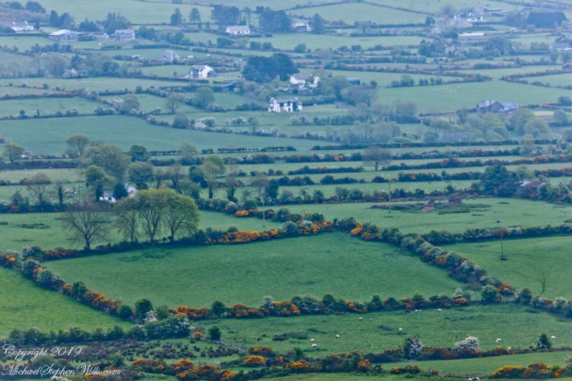
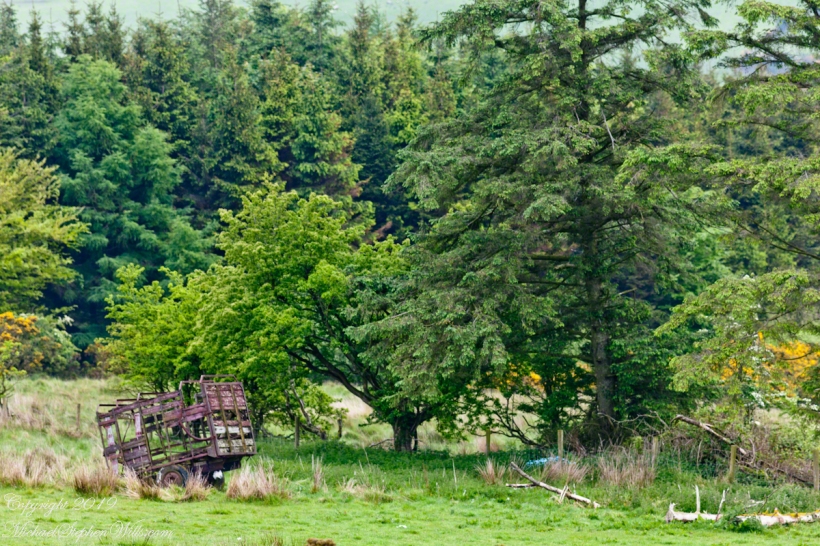
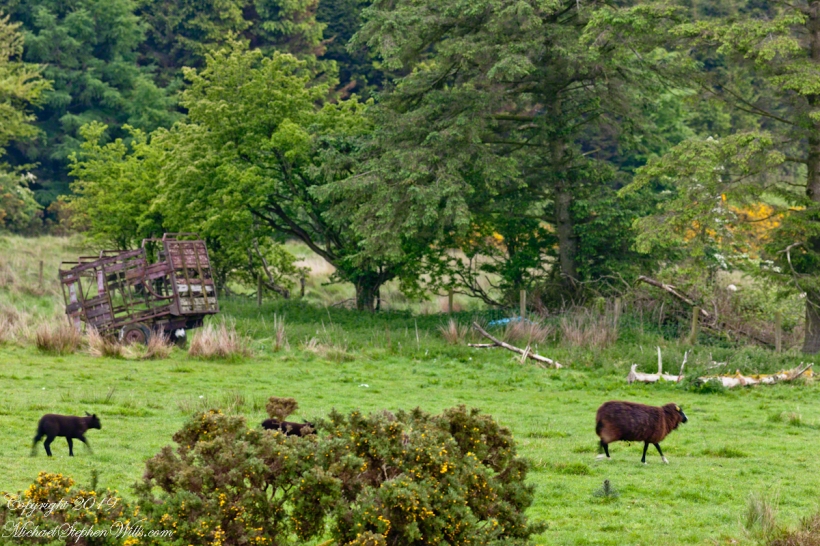
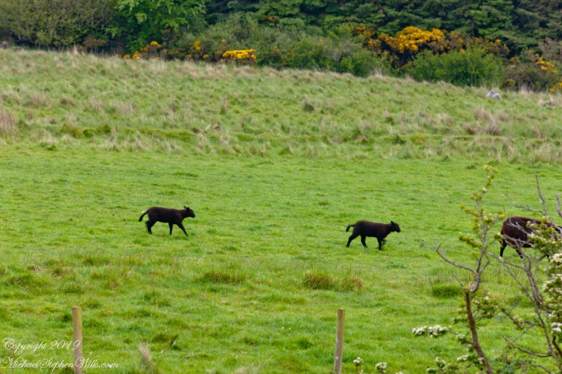
The road runs high on the shoulder of Slievenaglog peak, the 200 mm lens peers into the next townland over, Ballycoly (or Ballygoley), the valley floor broad, pastured.
Click photograph for a larger view. To do this from WordPress Reader, you need to first click the title of this post to open a new page.
Ballycoly Farmlands from Slievenaglogh
This is the seventh and last of a series using the Canon EF 200mm f/2.8L USM lens.
Here is a recap of recent posts with the 200 and 24 mm lens. Can you tell the difference?