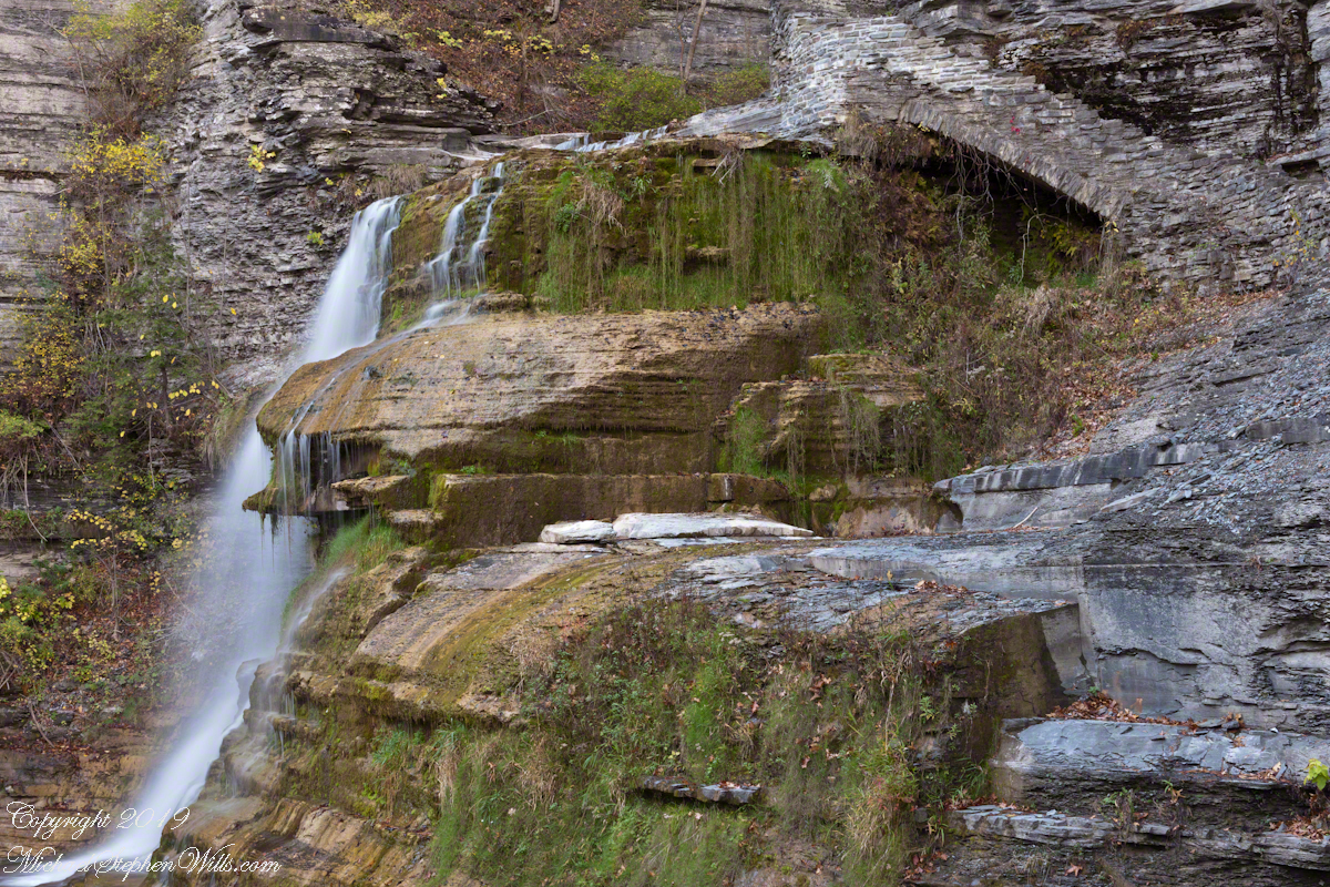
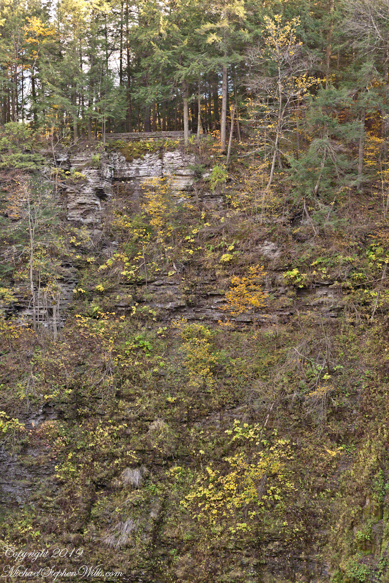
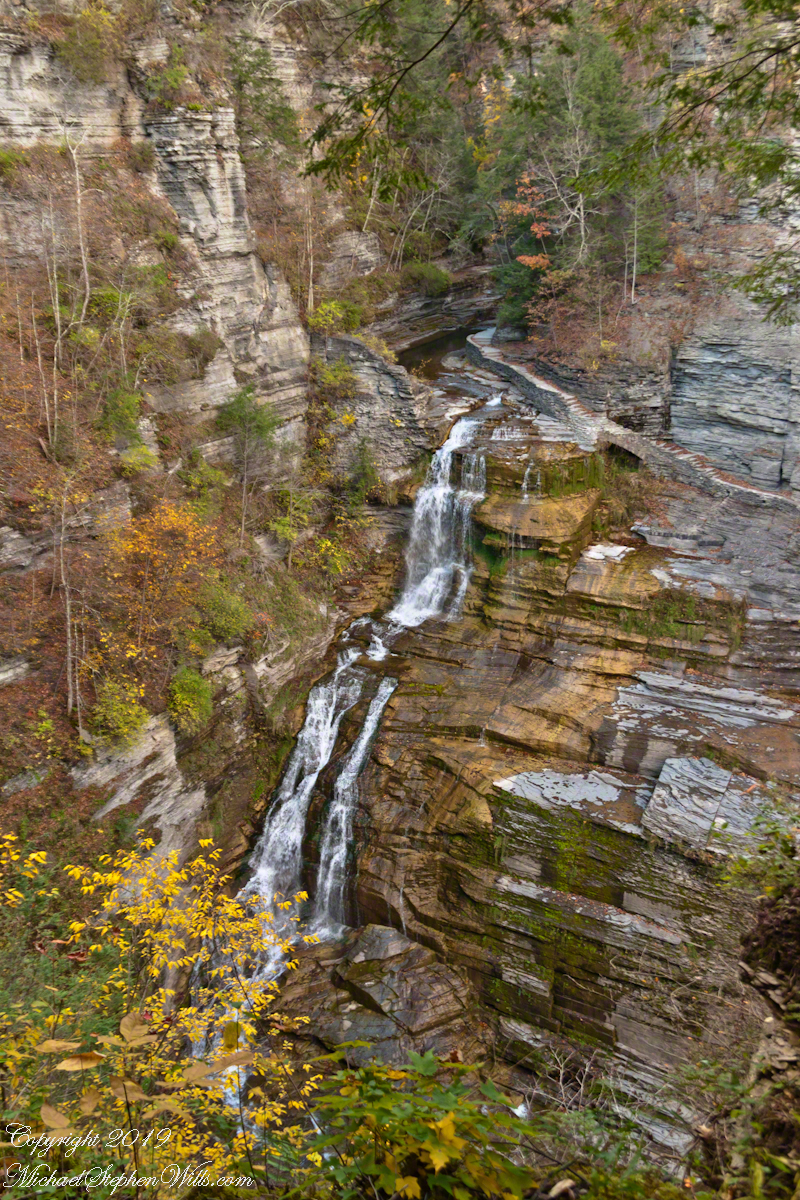
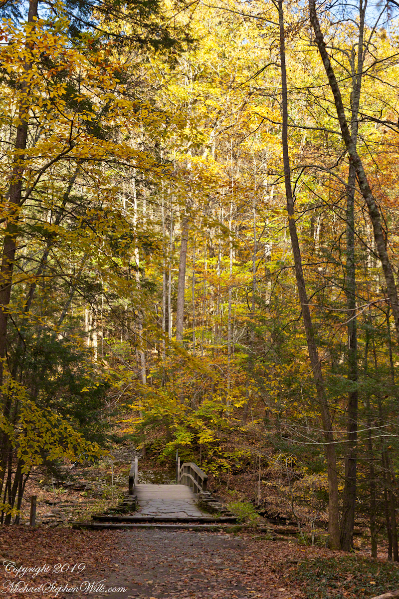
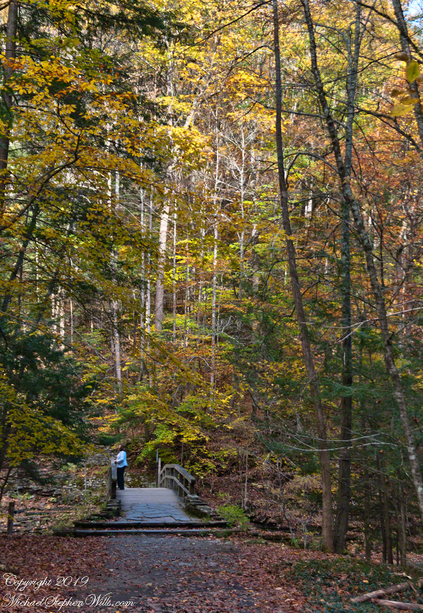
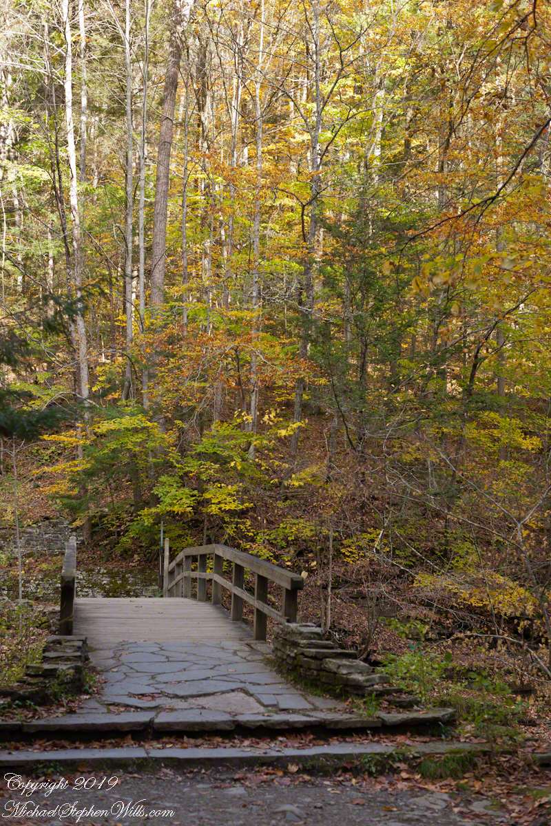
Pam and I visited Treman for our last visit of 2017. It was a bright, warm October afternoon. Here is a slide show of our experience, the details shared in recent postings. Enjoy!!
Click photograph for a larger view. To do this from WordPress Reader, you need to first click the title of this post to open a new page.
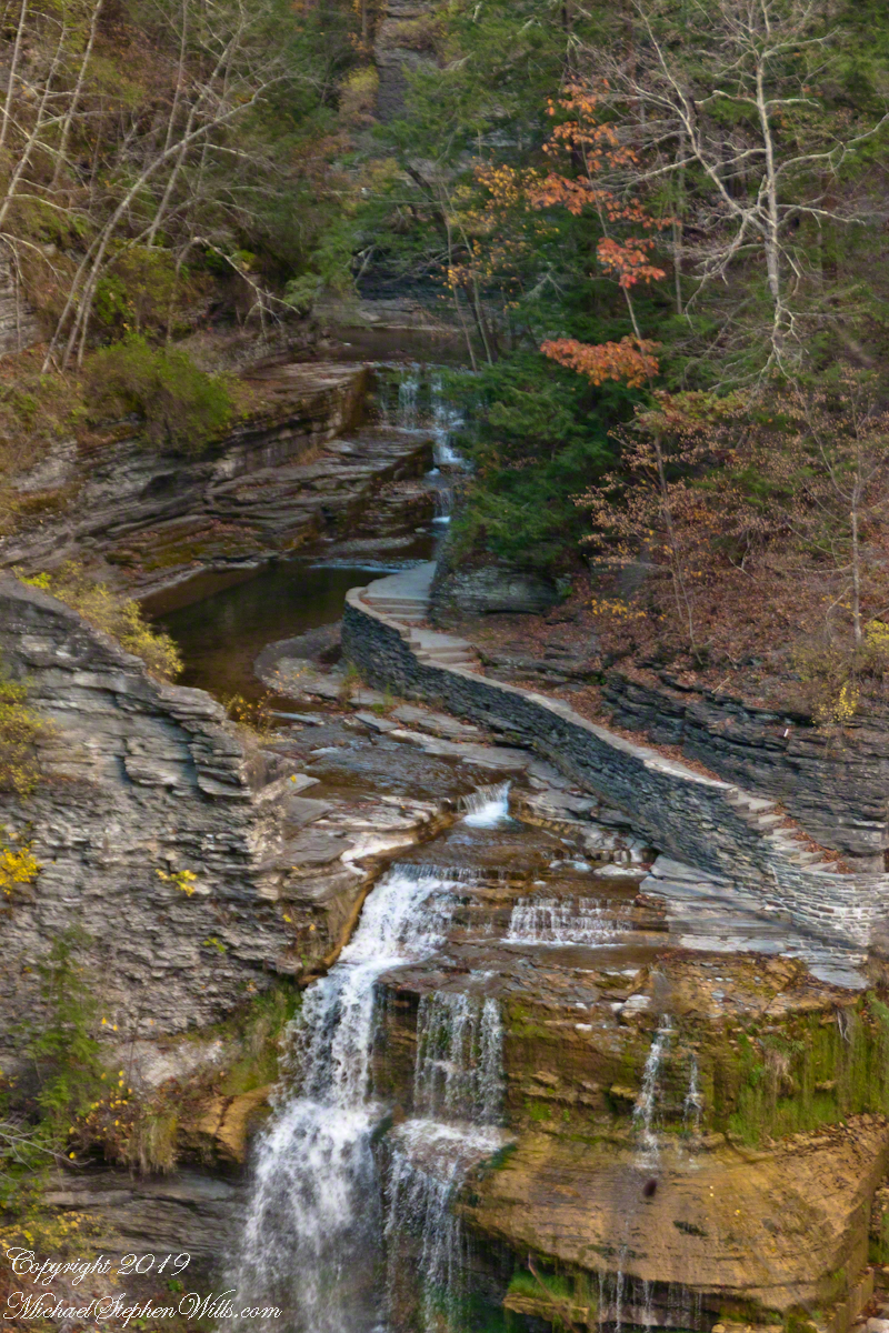
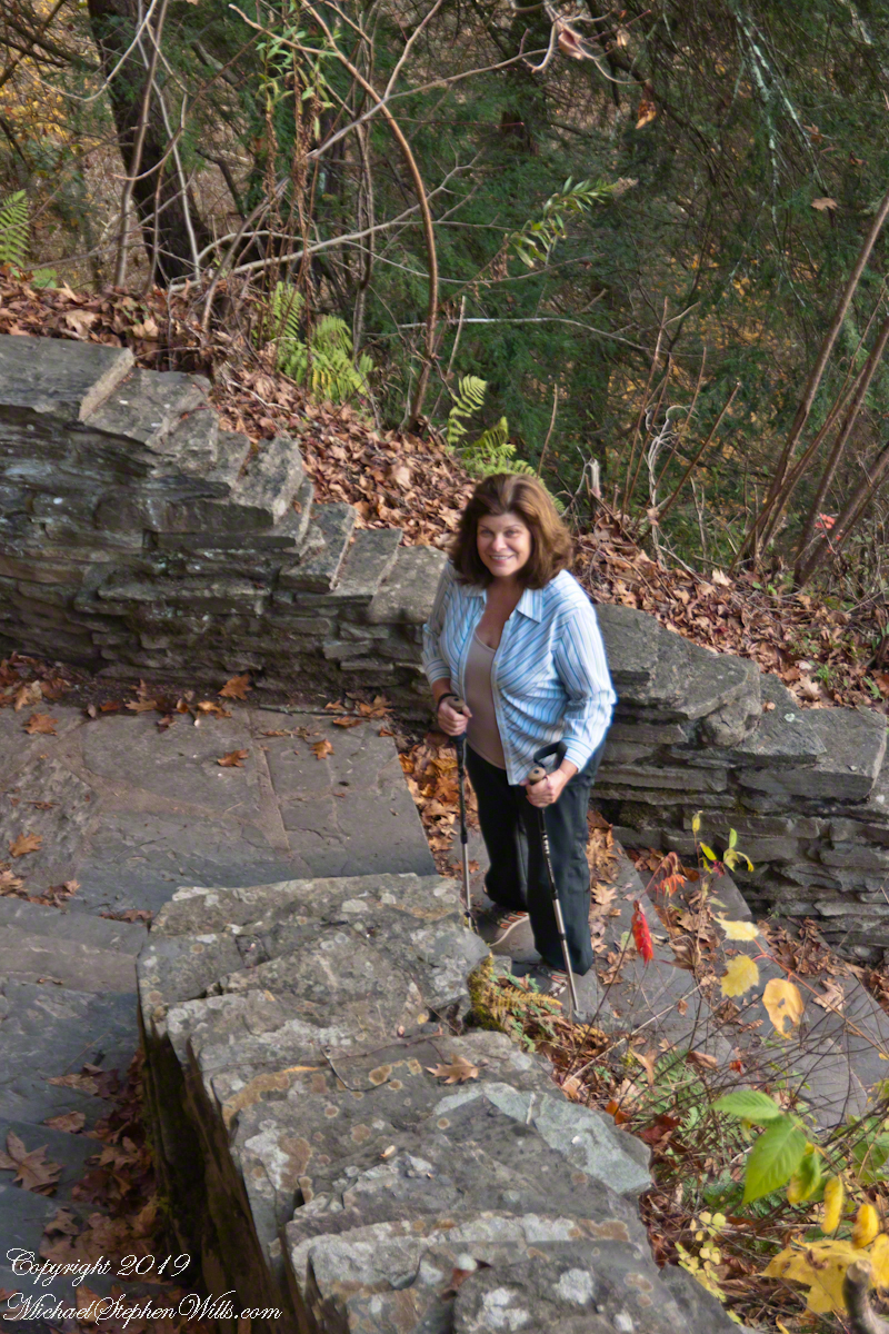
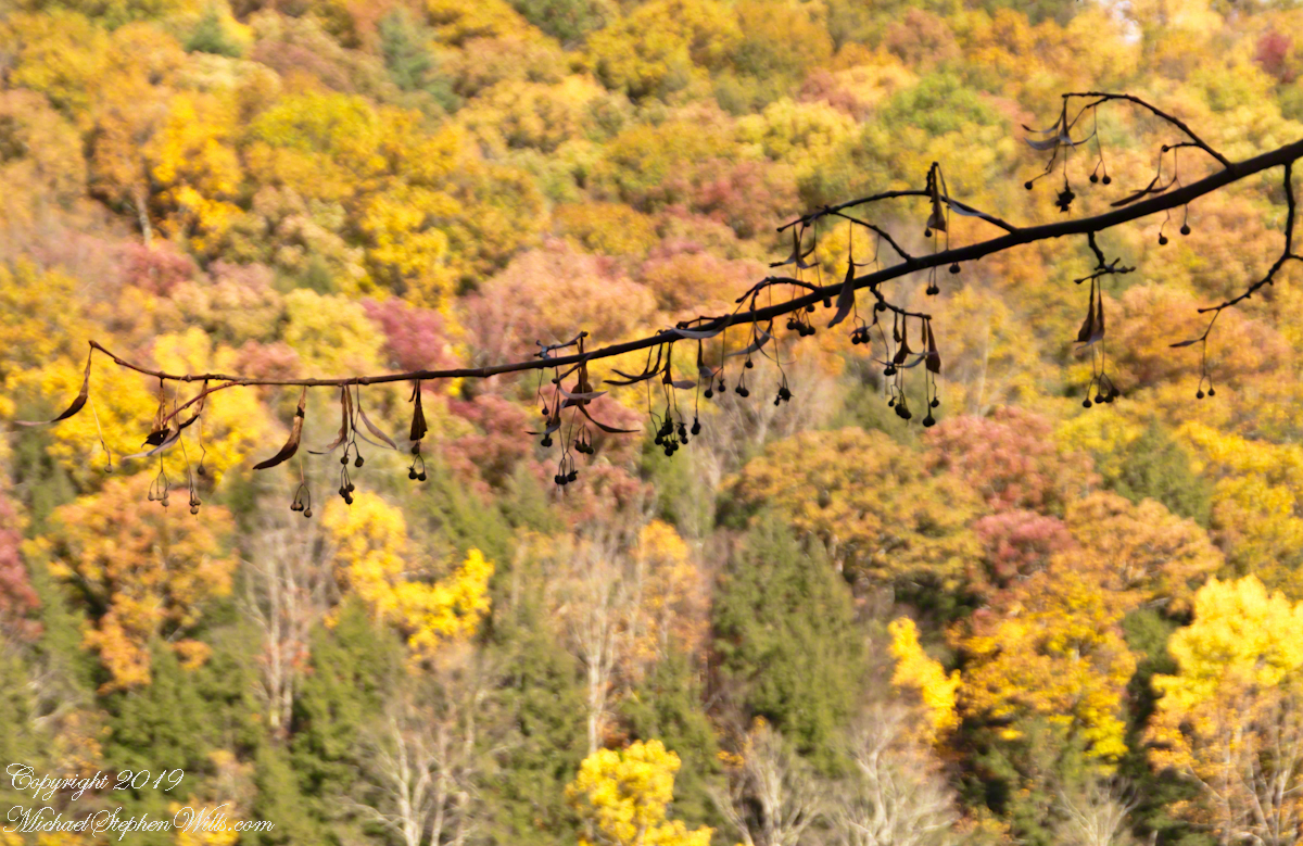
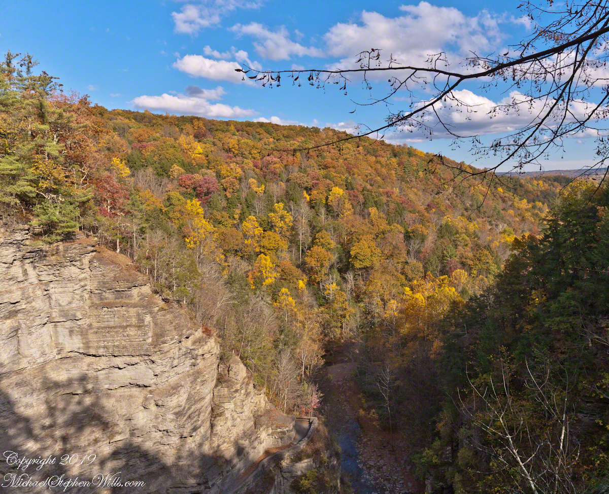
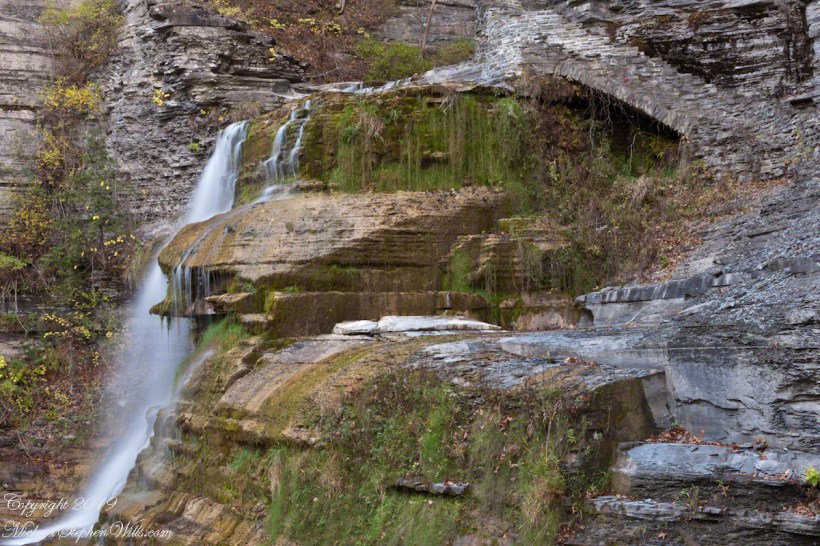
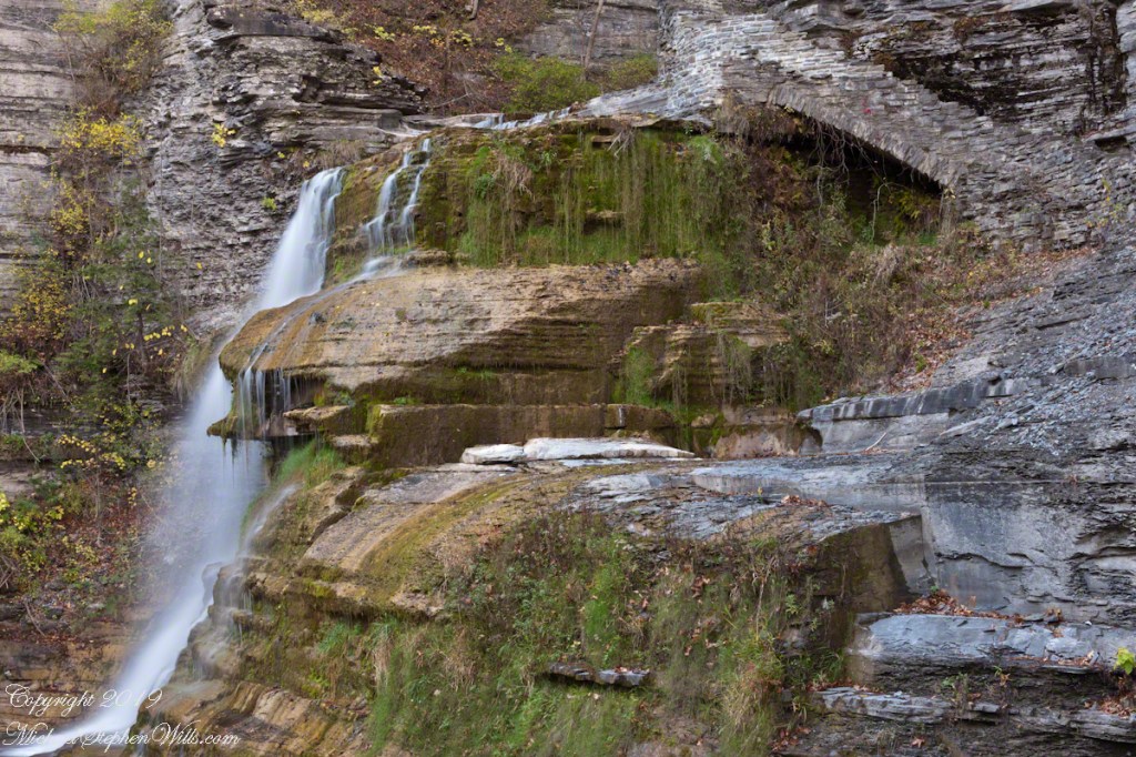
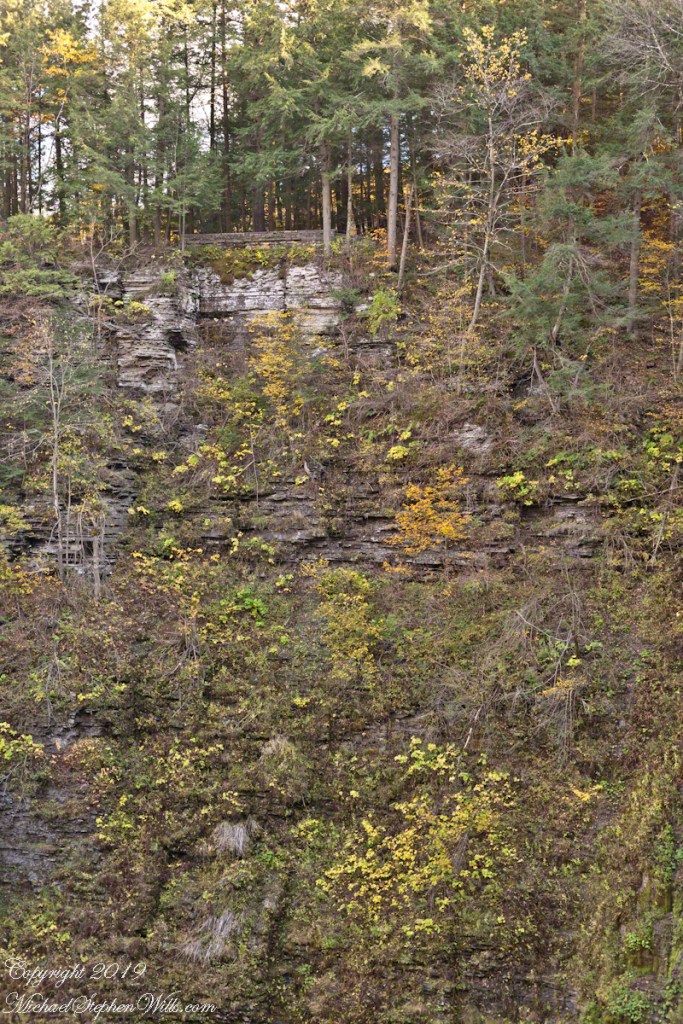
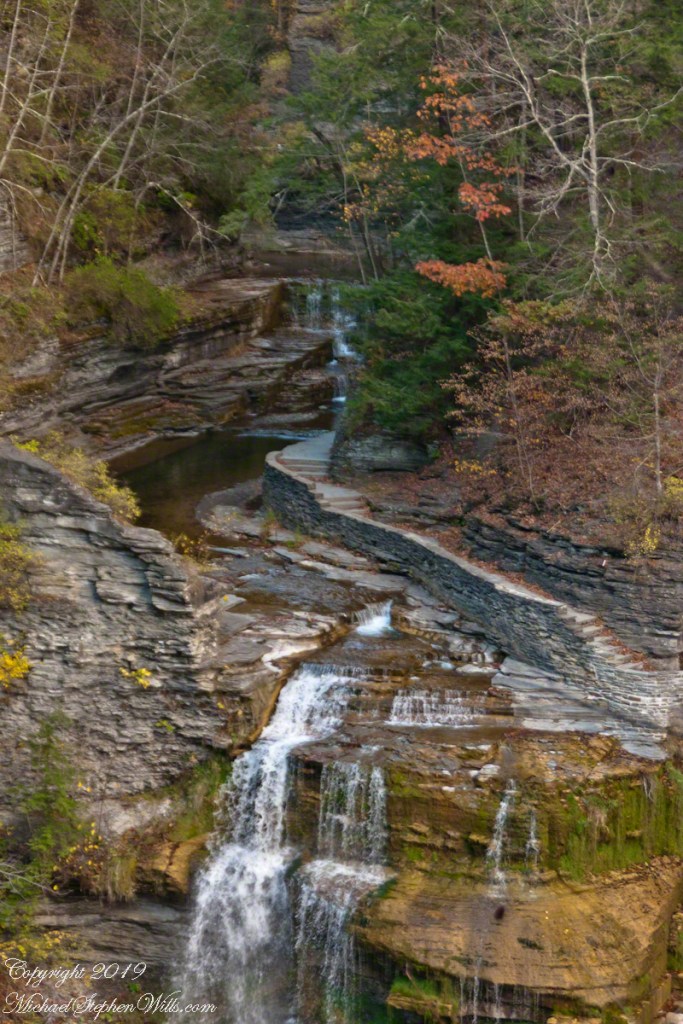
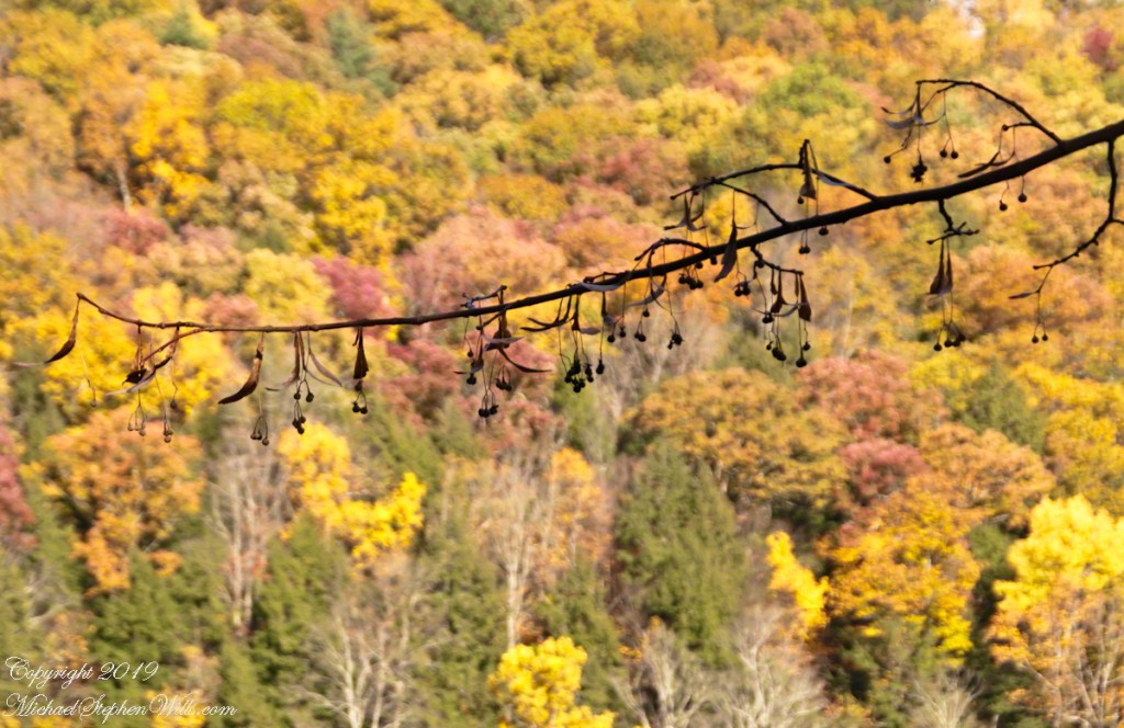
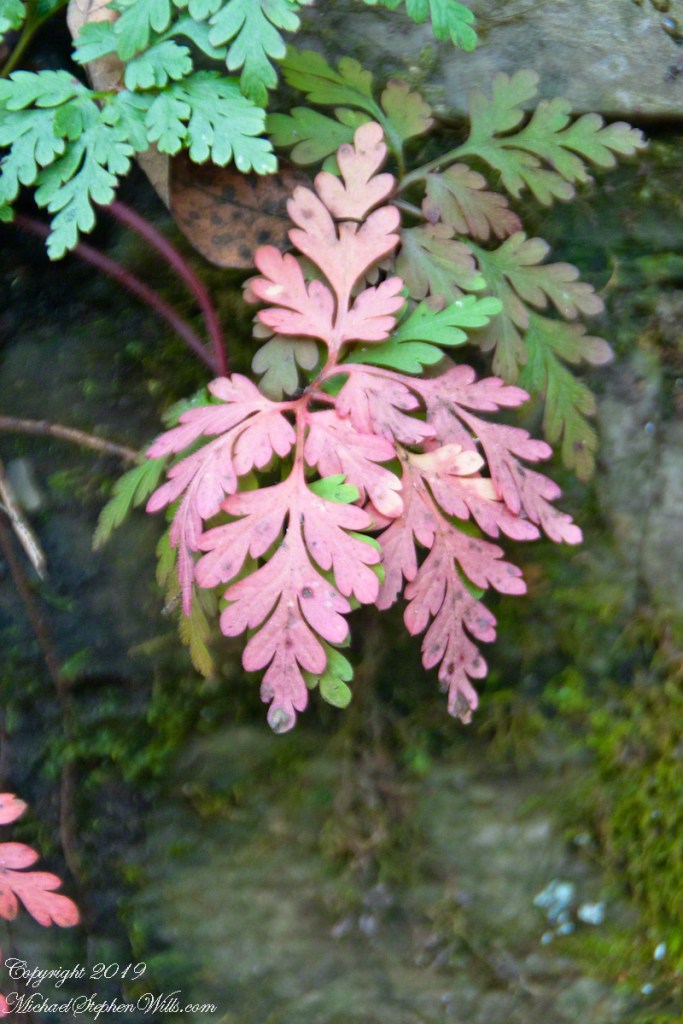
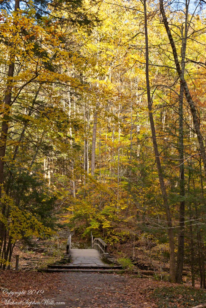
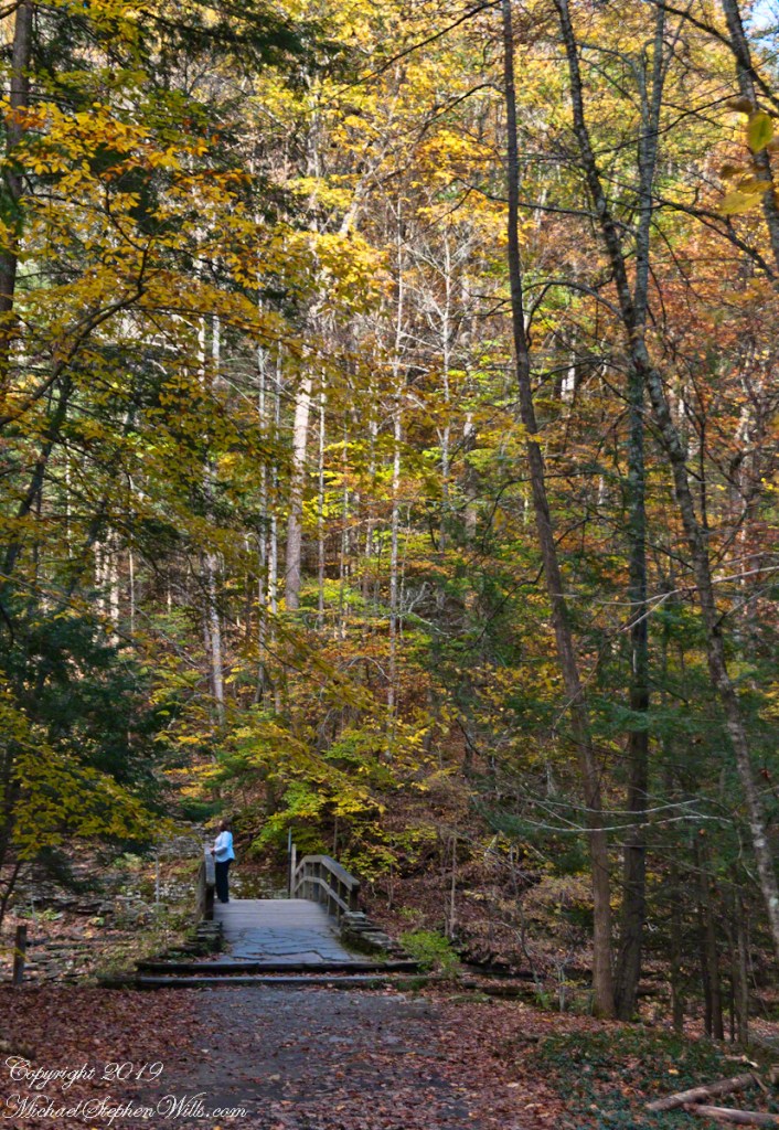
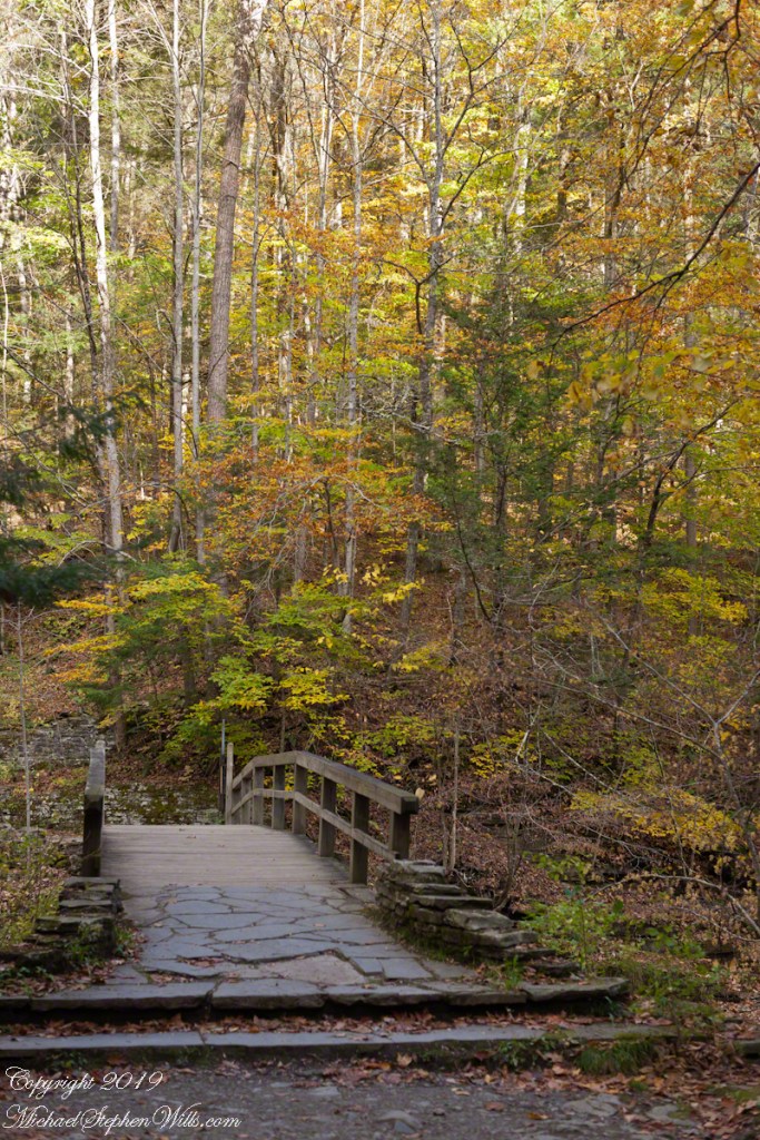
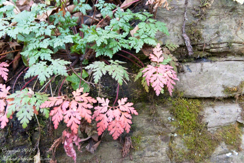
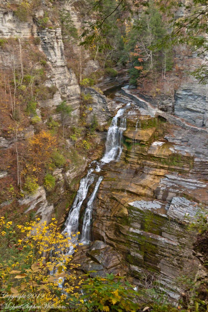
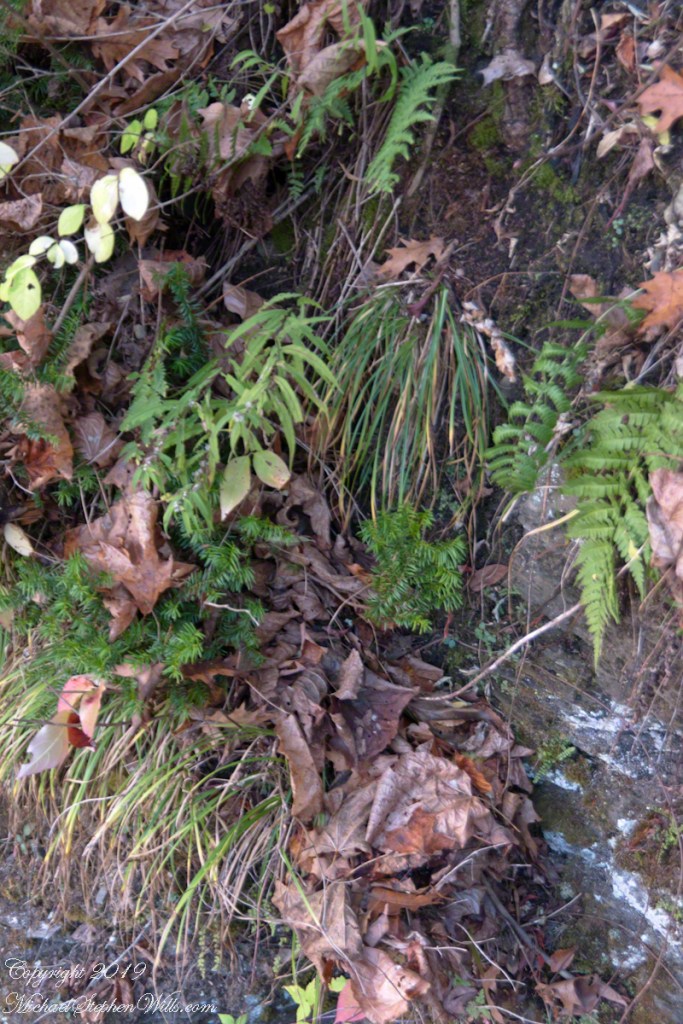
Brink of Lucifer FallsLucifer Falls Overlook from the Gorge TrailLucifer Falls from Rim Trail OverlookLucifer Falls from Rim Trail OverlookPam on the Cliff StaircaseUnidentified TreeLuficer Falls Overlook, northeastCliff Stair Wall, autumn with hemlockCliff Stair Wall, autumn with fern generationsCliff Stair Wall, autumn Geranium and mossesThis geranium species (scientific name Geranium robertianum) are also called “Herb-Robert” for a reputed ability to ward off disease and, in the Scottish Highlands, “red-shanks” for the deep red color of the stalks, seen in this photograph. Robert H. Treman New York State Park. Source, “How to Know the Wildflowers” by Mrs. William Star Dana, 1989, Houghton Mifflin, Boston.Pam examines the mossCliff Stair Wall, autumn MossAutumn foot BridgeWoman on Footbridge, ContemplationOver the bridge
In November the gorge is closed for the winter due to dangerous conditions under the steep, crumbling walls. Robert H. Treman New York State Park.
Copyright 2019 All Rights Reserved Michael Stephen Wills
In my Homecoming Parade 2003, I described my initial reconnection with the University of Arizona (U of A) as a 1975 graduate and alumnus. This personal project of involvement with U of A and Arizona continued through 2011 with annual autumn trips to coincide with Homecoming. The travel was as a CALS (College of Agriculture and Life Sciences) Alumni Board of Directors member, a primary responsibility was raising funds for scholarships.
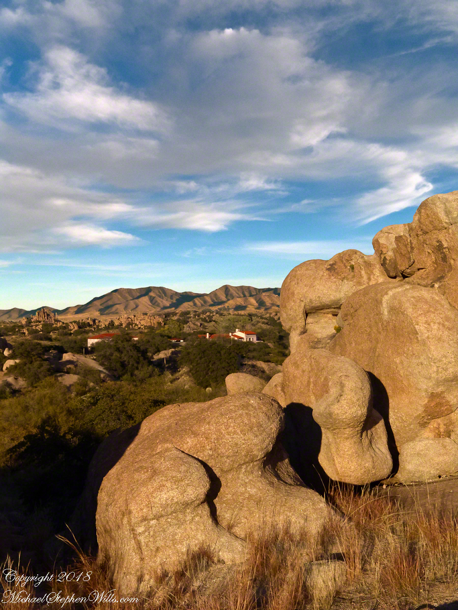
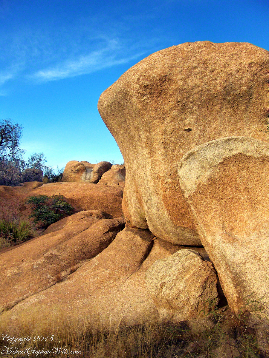
The Amerind Foundation and weathered boulders of Texas Canyon granite. Beyond are the Dragoon Mountains
I met, Linda Kelly, the owner of the Triangle T Guest Ranch, while camping in the Chiricahua Mountains. I arrived a week before homecoming to photograph the landscape, nature and rock formations of the Chiricahua National Monument. Click this link for my Arizona Online gallery, including some work from that time. Linda and a friend were visiting that day and we struck up a conversation about the area and her Triangle T Guest ranch. The next day I was scheduled to guest lecture a class at the U of A, as an alumnus of CALS. The ranch was on the way and I needed a place to stay, so Linda gave me directions and I checked in.
She gave me a tour of the incredible weather granite rock formations of Texas Canyon and, meanwhile, shared stories of the history of Texas Canyon. It is appropriate for the Amerind Foundation to be here (see first photograph), the winter camp of an Apache tribe for generations.
Weathered granite boulders greet visitors to the Triangle T Ranch.
That night, my request was for a room storied to be haunted by a spirit they call “Grandma,” as in when her footsteps wake you from a sound sleep you say, “It’s all right, Grandmother.” She woke me that night, footsteps in the dark, hollow on the wood floor, the room filled with a hard cold. I talked to her, without a response, while swinging my legs out of bed to reach the gas heater in the wall. I turned on the heat and the sound of expanding metal heat fins lulled me to sleep.
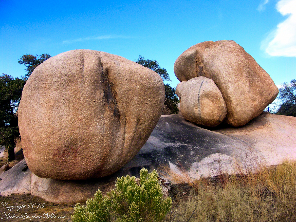
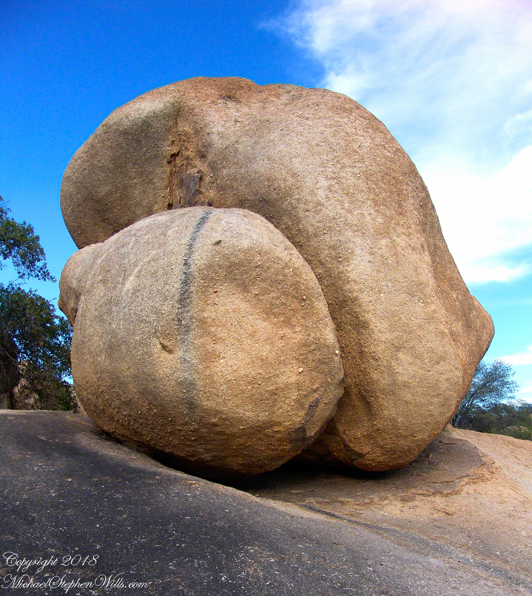
I call this pair, “Father and Son.” The restaurant is built around a round boulder.
It made a good story for the students. They were surprised I could fall back asleep, but after all I had to be there the following morning.
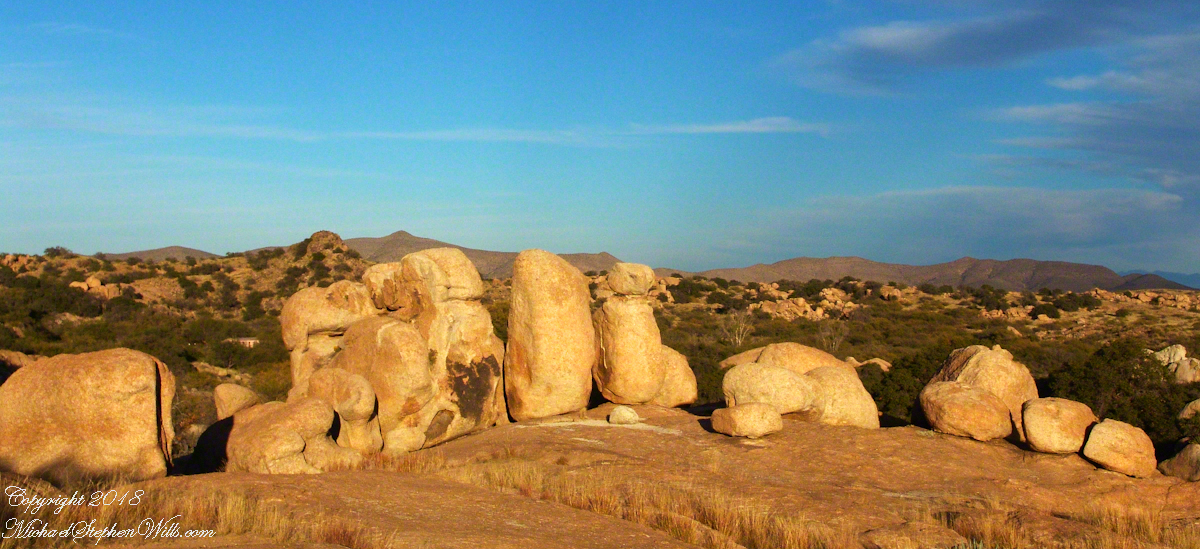
Your imagination roams among the natural forms.
I gave Linda a few of my photographs from that day and we made arrangements for the Triangle T to supply a two night package for the CALS “Dean’s Almost World Famous Burrito Breakfast” silent auction during 2008 homecoming.
A tableau of figures keep silent watch with the ghosts of Texas Canyon.
Copyright 2023 Michael Stephen Wills All Rights Reserved
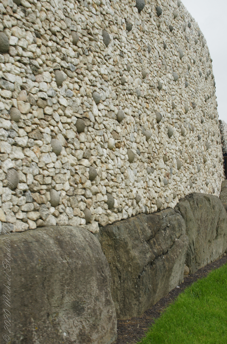
The Newgrange façade and entrance of today is a creation from the large quantity of small stones unearthed and conserved during excavation given form by a steel-reinforced concrete retention wall.
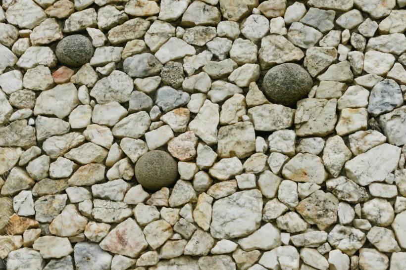
The brilliant white quartz cobblestones were collected from the Wicklow Mountains, 31 miles to the south. Our guide called them “sunstones” for the way they reflect sunlight. In the following photograph is white quartz, the same excavated 1967-1975 from the Newgrange site and incorporated into the facade, I collected from “Miners Way” along R756 (above Glendalough).
You can also see in these photographs dark rounded granodiorite cobbles from the Mourne Mountains, 31 miles to the north. Dark gabbro cobbles from the Cooley Mountains and banded siltstone from the shore at Carlingford Lough both locations on the Cooley Peninsula where my mother’s family still has farms.
The stones may have been transported to Newgrange by sea and up the River Boyne by fastening them to the underside of boats at low tide. None of the structural slabs were quarried, for they show signs of having been weathered naturally, so they must have been collected and then transported, largely uphill, to the Newgrange site. The granite basins found inside the chambers also came from the Mournes.
Geological analysis indicates that the thousands of pebbles that make up the cairn, which together would have weighed about 200,000 tons, came from the nearby river terraces of the Boyne. There is a large pond in this area that is believed to be the site quarried for the pebbles by the builders of Newgrange.
Facade and Kerbstones
Most of the 547 slabs that make up the inner passage, chambers, and the outer kerbstones are greywacke. Some or all of them may have been brought from sites either 3 miles away or from the rocky beach at Clogherhead, County Louth, about 12 miles to the northeast.
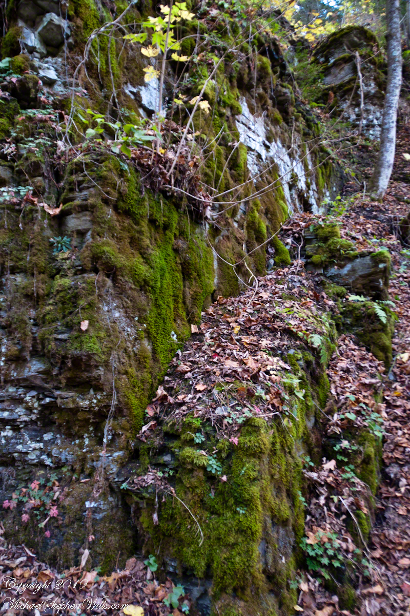
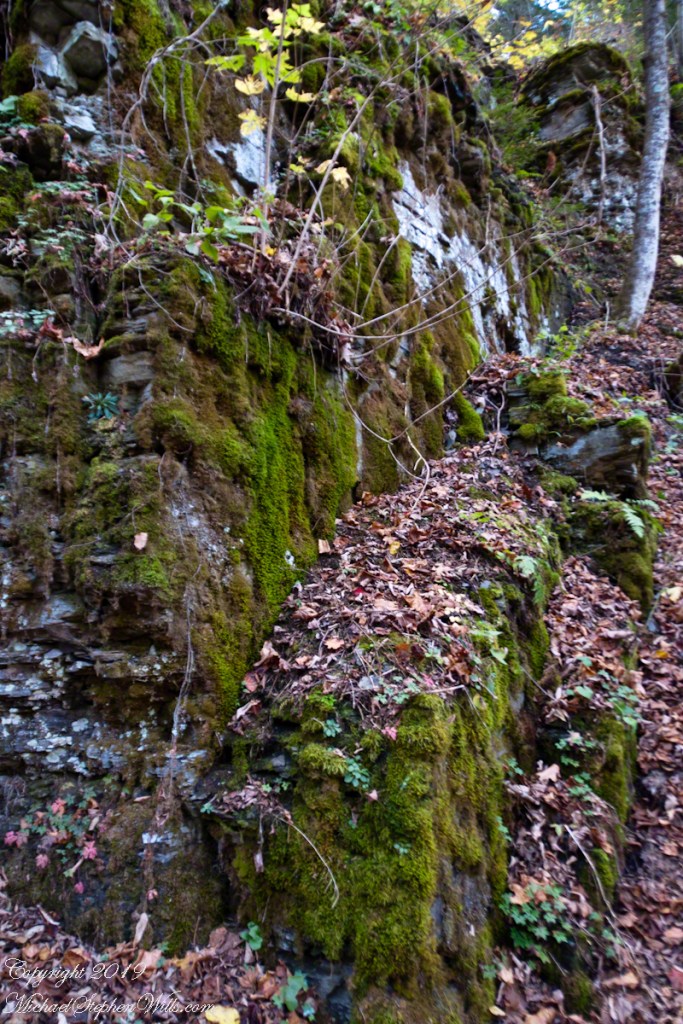
Pam examining thick moss growth on the sedimentary rock of Treman gorge. These layers of shale, sandstone, siltstone formed at the bottom of a broad, shallow sea over 380 million years ago.
Click photograph for a larger view. To do this from WordPress Reader, you need to first click the title of this post to open a new page.
Pam examines the moss
Towards the bottom of the 223 Cliff Stair steps moss takes over the Devonian shale of the cliff wall surface. Here, the cliff shelters the wall from sunlight 365 days a year.
Cliff Stair Wall, autumn Moss
Robert H. Treman New York State Park.
Click for a slideshow of this sequence Lucifer Falls and Cliff Stair Views
Brink of Lucifer FallsLucifer Falls Overlook from the Gorge TrailLucifer Falls from Rim Trail OverlookPam on the Cliff StaircaseUnidentified TreeThis geranium species (scientific name Geranium robertianum) are also called “Herb-Robert” for a reputed ability to ward off disease and, in the Scottish Highlands, “red-shanks” for the deep red color of the stalks, seen in this photograph. Robert H. Treman New York State Park. Source, “How to Know the Wildflowers” by Mrs. William Star Dana, 1989, Houghton Mifflin, Boston.Autumn foot BridgeWoman on Footbridge, ContemplationOver the bridge
Copyright 2023 All Rights Reserved Michael Stephen Wills
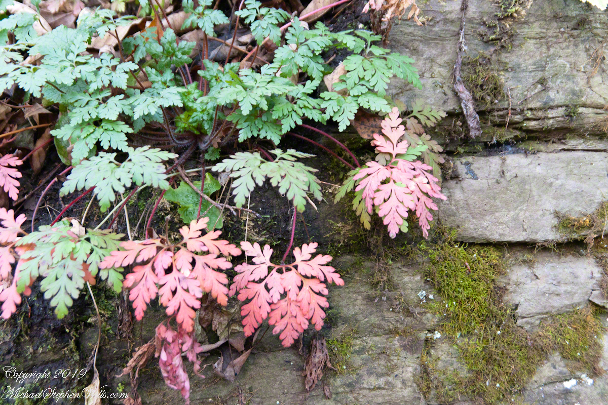
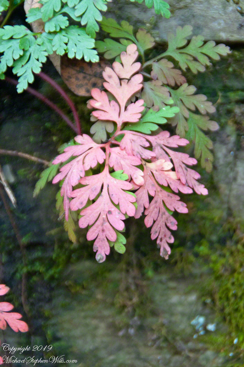
This geranium species (scientific name Geranium robertianum) are also called “Herb-Robert” for a reputed ability to ward off disease.
Click photograph for a larger view. To do this from WordPress Reader, you need to first click the title of this post to open a new page.
Cliff Stair Wall, autumn Geranium and mosses
Scottish Highlands residents call these wild geraniums “red-shanks” for the deep red color of the stalks, seen in both photographs.
This geranium species (scientific name Geranium robertianum) are also called “Herb-Robert” for a reputed ability to ward off disease and, in the Scottish Highlands, “red-shanks” for the deep red color of the stalks, seen in this photograph. Robert H. Treman New York State Park. Source, “How to Know the Wildflowers” by Mrs. William Star Dana, 1989, Houghton Mifflin, Boston.
Robert H. Treman New York State Park.
Source, “How to Know the Wildflowers” by Mrs. William Star Dana, 1989, Houghton Mifflin, Boston.
Click for a slideshow of this sequence Cliff Stair Views
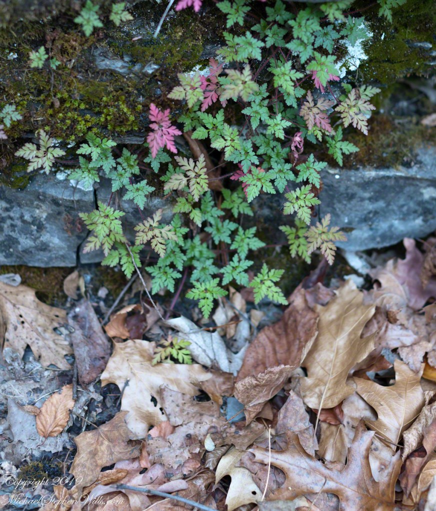
Lucifer Falls from Rim Trail OverlookLucifer Falls from Rim Trail OverlookUnidentified TreePam on the Cliff StaircaseCliff Stair Wall, autumn with fern generationsCliff Stair Wall, autumn Geranium and mossesThis geranium species (scientific name Geranium robertianum) are also called “Herb-Robert” for a reputed ability to ward off disease and, in the Scottish Highlands, “red-shanks” for the deep red color of the stalks, seen in this photograph. Robert H. Treman New York State Park. Source, “How to Know the Wildflowers” by Mrs. William Star Dana, 1989, Houghton Mifflin, Boston.Wild geranium leaves tinged with autumn color above a gathering of spent oak and elm leaves. Robert H. Treman New York State Park of the Finger Lakes Region.
Copyright 2023 All Rights Reserved Michael Stephen Wills
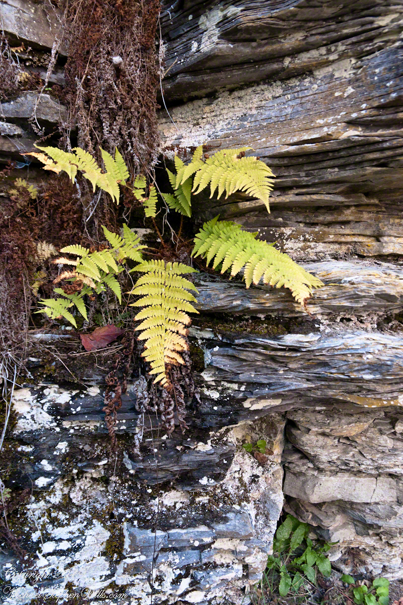
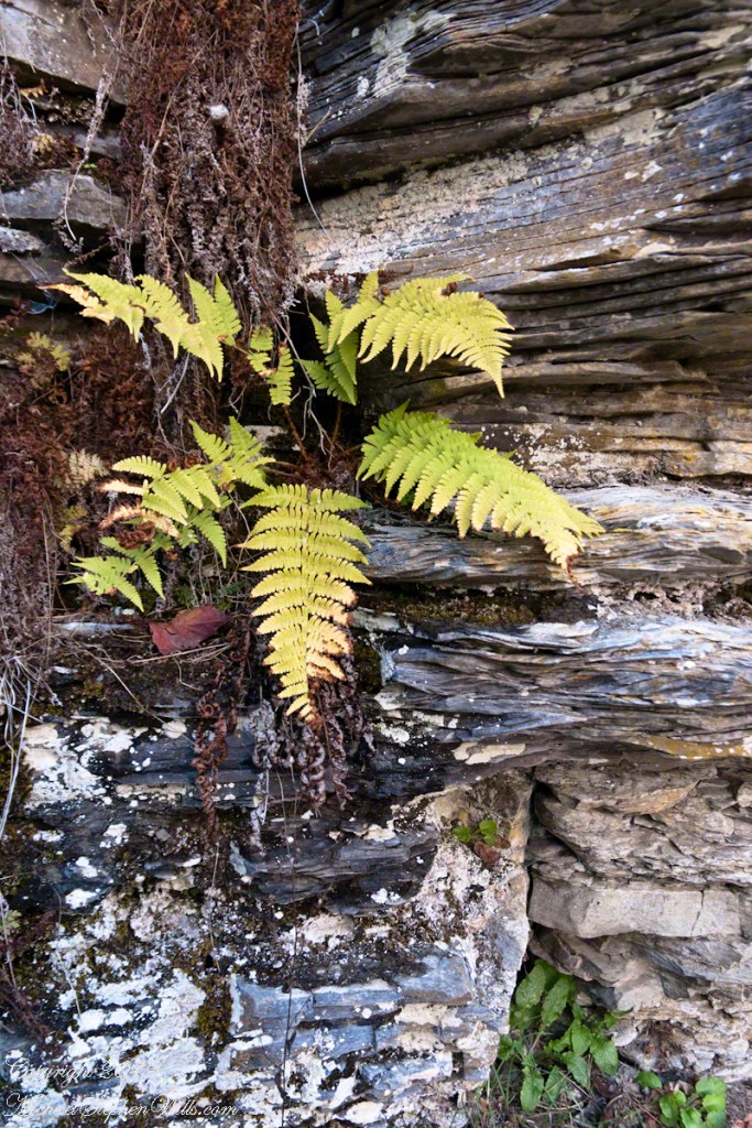
Each autumn, species of fern turns yellow towards a winter death. Here we see growing from Devonian shale, both the yellowed and desiccated fern fronds. Robert H. Treman New York State Park.
Click photograph for a larger view. To do this from WordPress Reader, you need to first click the title of this post to open a new page.
Cliff Stair Wall, autumn with fern generations
Click for a slideshow of this sequence Cliff Stair views
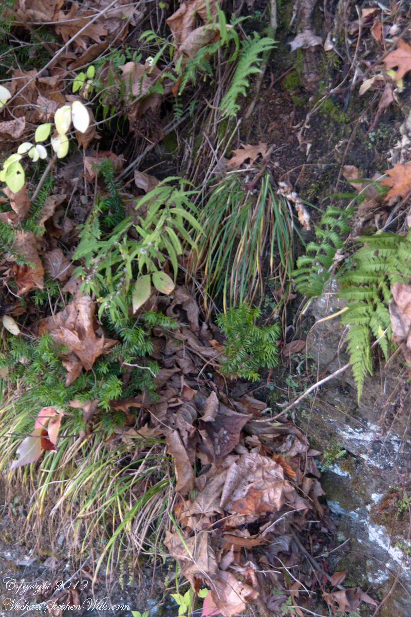
Lucifer Falls from Rim Trail OverlookPam on the Cliff StaircaseCliff Stair Wall, autumn with hemlock
Copyright 2023 All Rights Reserved Michael Stephen Wills
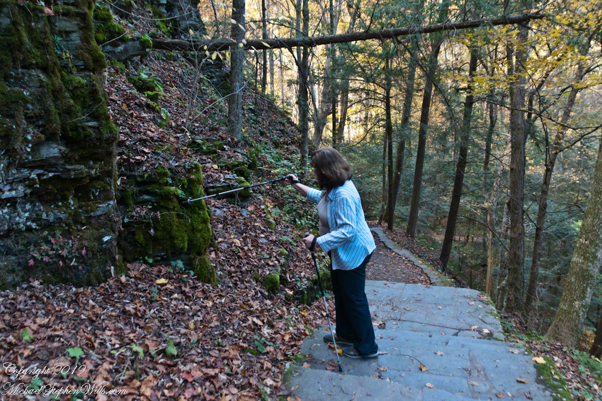
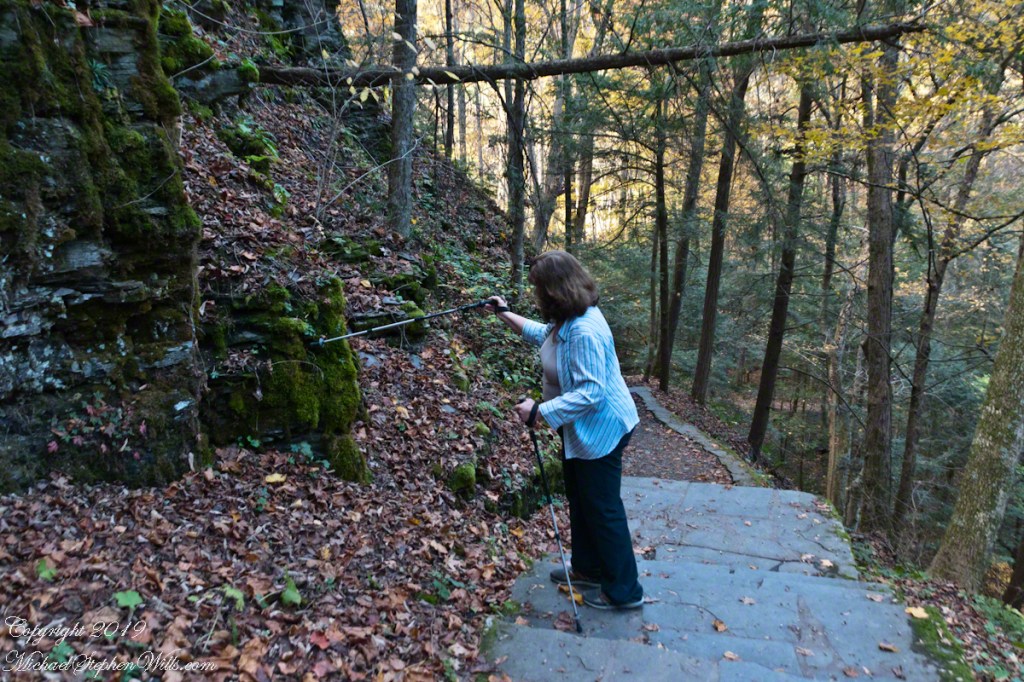
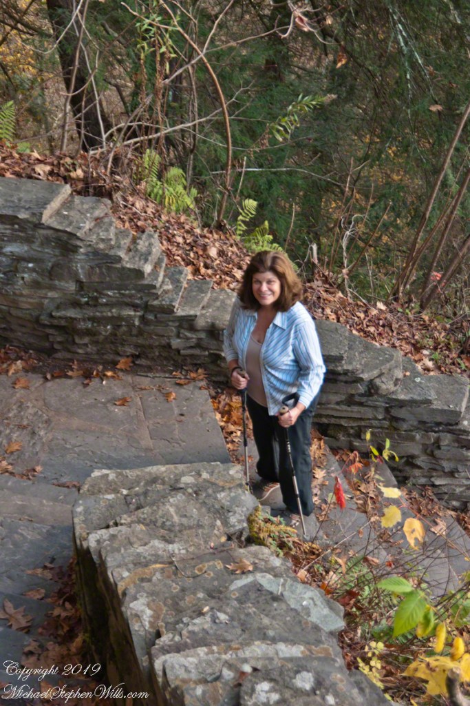
On a day in late October 2017 Pam and Mike did a photography walk. Here is Pam pausing to pose during a descent into the gorge on the cliff staircase after visiting the overlook high above Lucifer Falls, Robert H. Treman New York State Park in the Finger Lakes Region.
Click photograph for a larger view. To do this from WordPress Reader, you need to first click the title of this post to open a new page.
Pam on the Cliff Staircase
Grasses, hemlock saplings, goldenrod, spent leaves and ferns on the wall of the 223 Cliff Stair steps.
Cliff Stair Wall, autumn with hemlock
Click for a slideshow of this sequence of Lucifer Falls view from the overlook.
Pam on the Cliff StaircaseCliff Stair Wall, autumn with hemlock
Copyright 2023 All Rights Reserved Michael Stephen Wills
In this post we start the day of my posting “Family Trek“, July 19, 2008, when, well before the sun rose at 6:23 am Mountain Daylight Time (the Navajo Reservation observes daylight savings, the rest of Arizona does not), Pam and I were at the Spider Rock Overlook.
Most visitors to the canyon make use of a system of roads and parking lots next to strategic views. There is the White House Overlook we visited our first day, July 18, to hike from the trailhead into the canyon. There are also, on the south side of the canyon:
Tsegi Overlook, taken from a Navajo word that translates directly to “between the rocks” and usually refers to a deep canyon with steep cliffs.
Junction Overlook above the point where Canyon Del Muerto (see my posting “Sun and Shade, Canyon Del Muerto”, and Canyon De Chelly intersect. There is an Anasazi ruin in the south-facing cliff across the canyon.
Sliding House Overlook, another Anasazi run across the canyon.
Face Rock Overlook, to view the eponymous formation.
Spider Rock Overlook, the most stunning rock formation.
Click any photograph for my Online gallery.
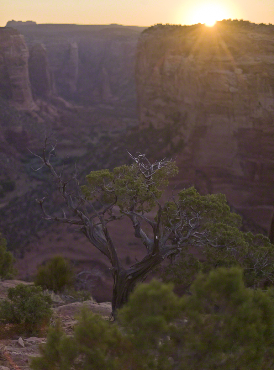
Looking east from the Spider Rock overlook, Canyon De Chelly.
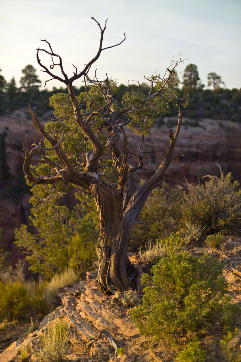
While getting ready I scoped out the location for interesting visual tropes. Utah Junipers are exceptionally hardy shrubs, stressed individual plants grow into compelling forms shaped by hardship. As the sun rose, this specimen emerged from the gloom and caught the first sun rays.
Click any photograph for my Online gallery.
A distressed Utah Juniper on the edge of Canyon De Chelly overlooking Needle Rock a few moments after sunrise.
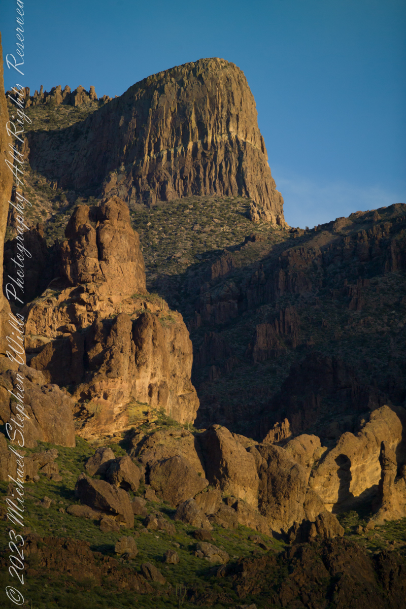
The mountain was formed by a series of volcanic eruptions between 20.5 and 18 million years ago. The west face of the mountain is composed of dacite lava and rhyolitic tuff. The overlying tuff was deposited during an eruption which created a collapse caldera bounded by faults. Dome resurgence reactivated these faults, causing uplift of the caldera floor which juxtaposed the softer tuff and more resistant dacite. Differential weathering caused the outer tuff to erode faster, leaving the dacite cliffs exposed and creating the prominent mountain visible today.
The Flatiron, the mesa-like projection above us in this view, is long solidified dacite lava. The word dacite comes from Dacia, a province of the Roman Empire which lay between the Danube River and Carpathian Mountains (now modern Romania and Moldova) where the rock was first described. Lost Dutchman State Park, Apache Junction, Maricopa County, Arizona
Reference: Wikipedia “Superstition Mountain” and “Dacite Lava.”
Copyright 2023 Michael Stephen Wills All Rights Reserved
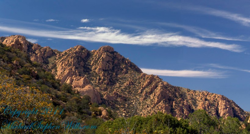
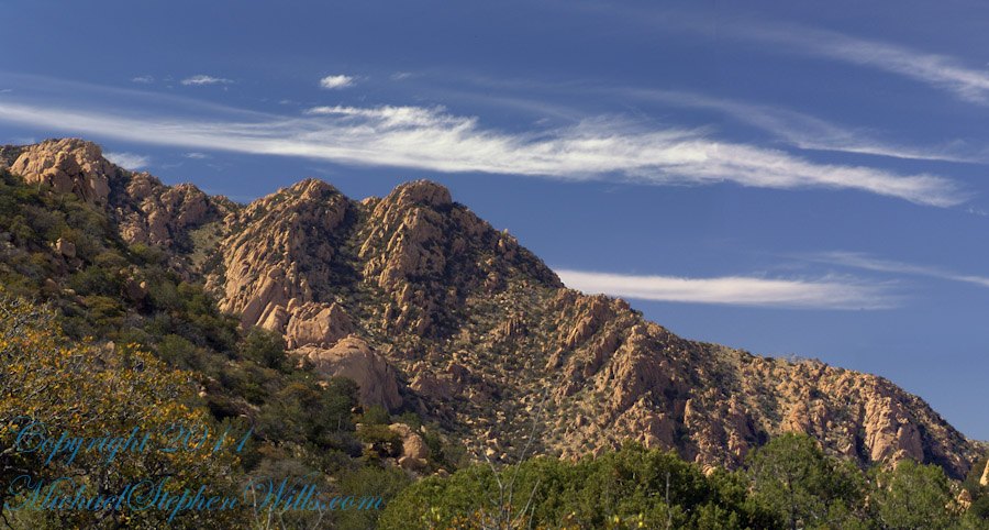
Dragoon Mountains of southeastern Arizona are named, not for the resemblance of this ridge to the back of a Dragon, but for a type of soldier trained for horseback riding and infantry. These were the U.S. troops sent to “pacify” the Chiricahua Apache homeland.
Understanding location lighting is a matter of experience and luck.
Cochise Stronghold campsites are on the eastern slope of the Dragoons, sheltering them from the late afternoon sun.
One this day in April I explored the trails until sunset and was lucky enough to be setup for the 14 minutes of that day when the light was absolutely perfect.
Copyright 2023 Michael Stephen Wills All Rights Reserved