Stressed Mesquite

Superstition Wilderness

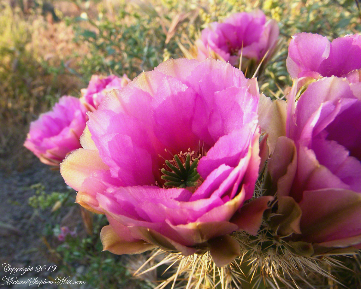
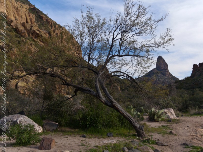
Mesquite, of the genus Prosopis, is a widespread, successful desert shrub that sometimes grows into tree form, as you see here. A mesquite tap root can extend 190 feet down to draw on the water table.

Click Me for my Online Gallery

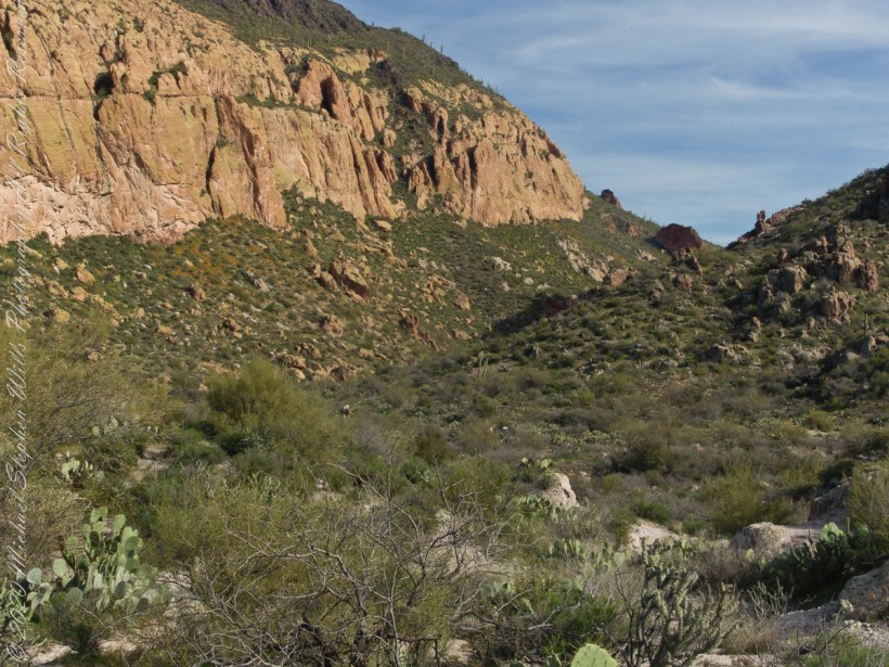
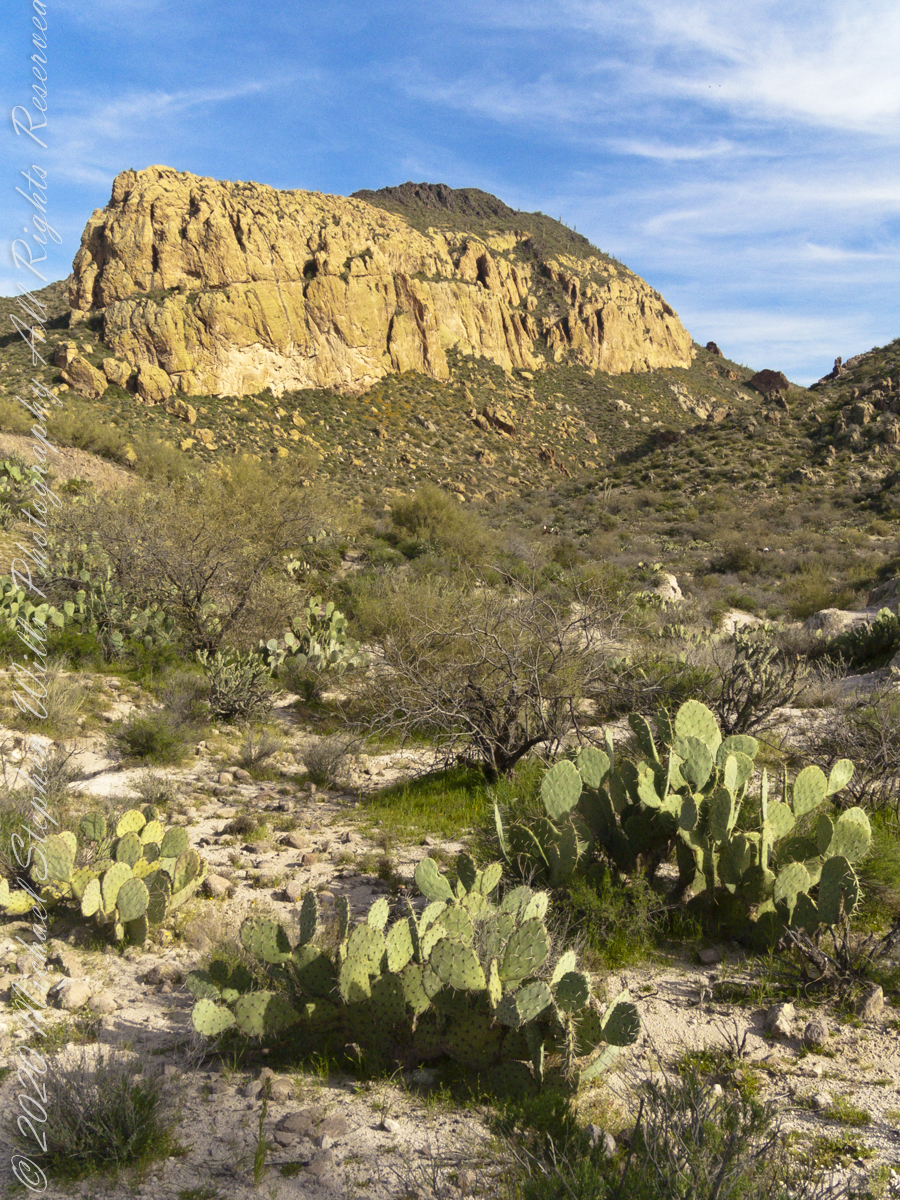
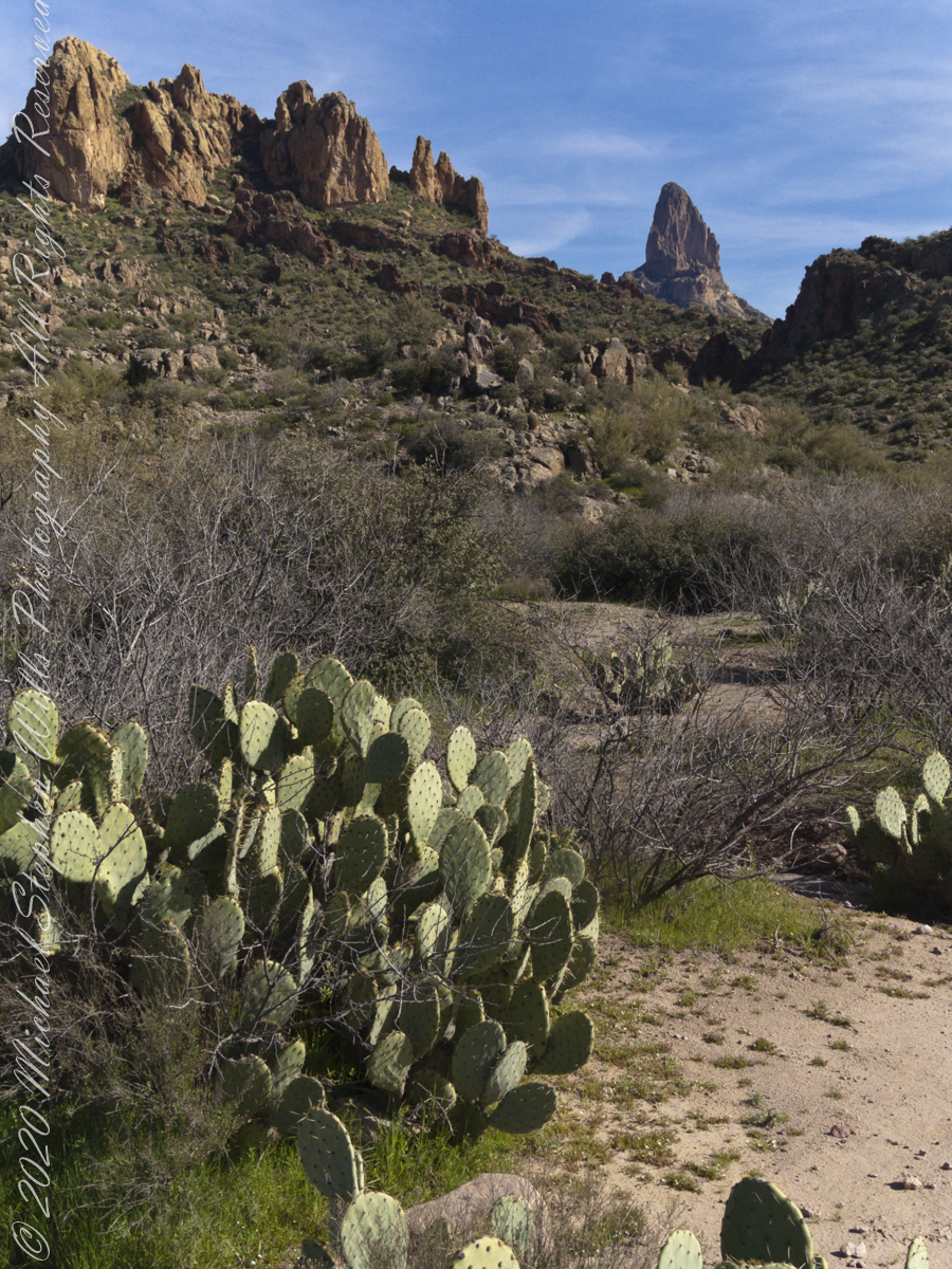
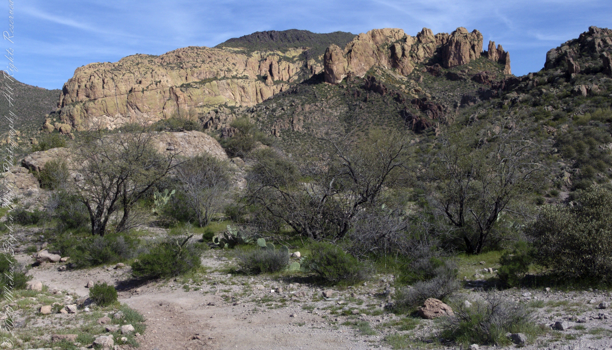
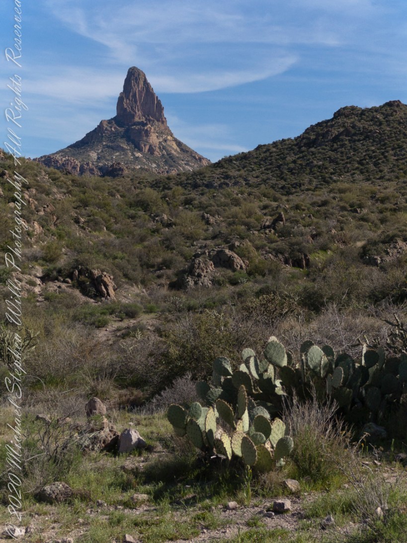
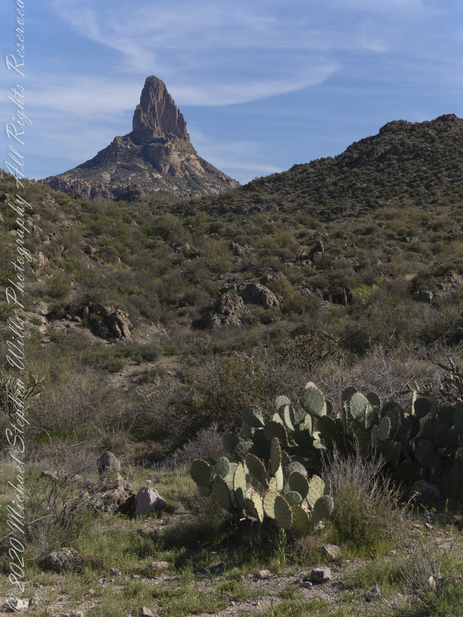
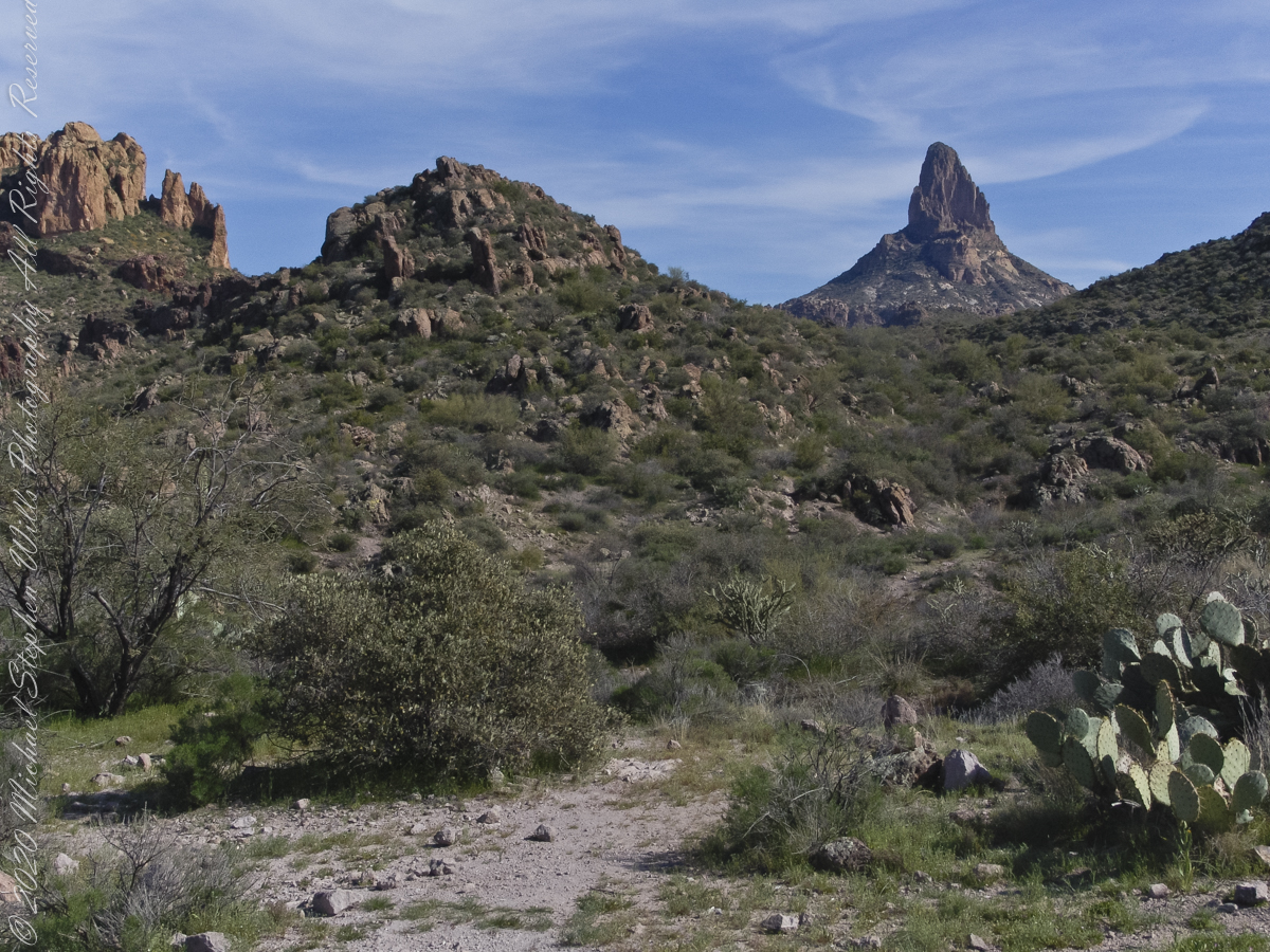
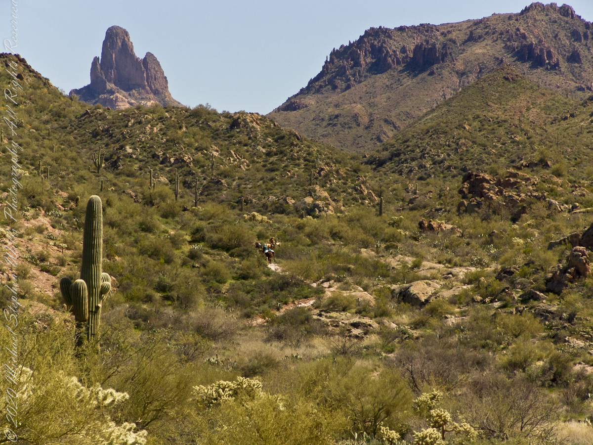
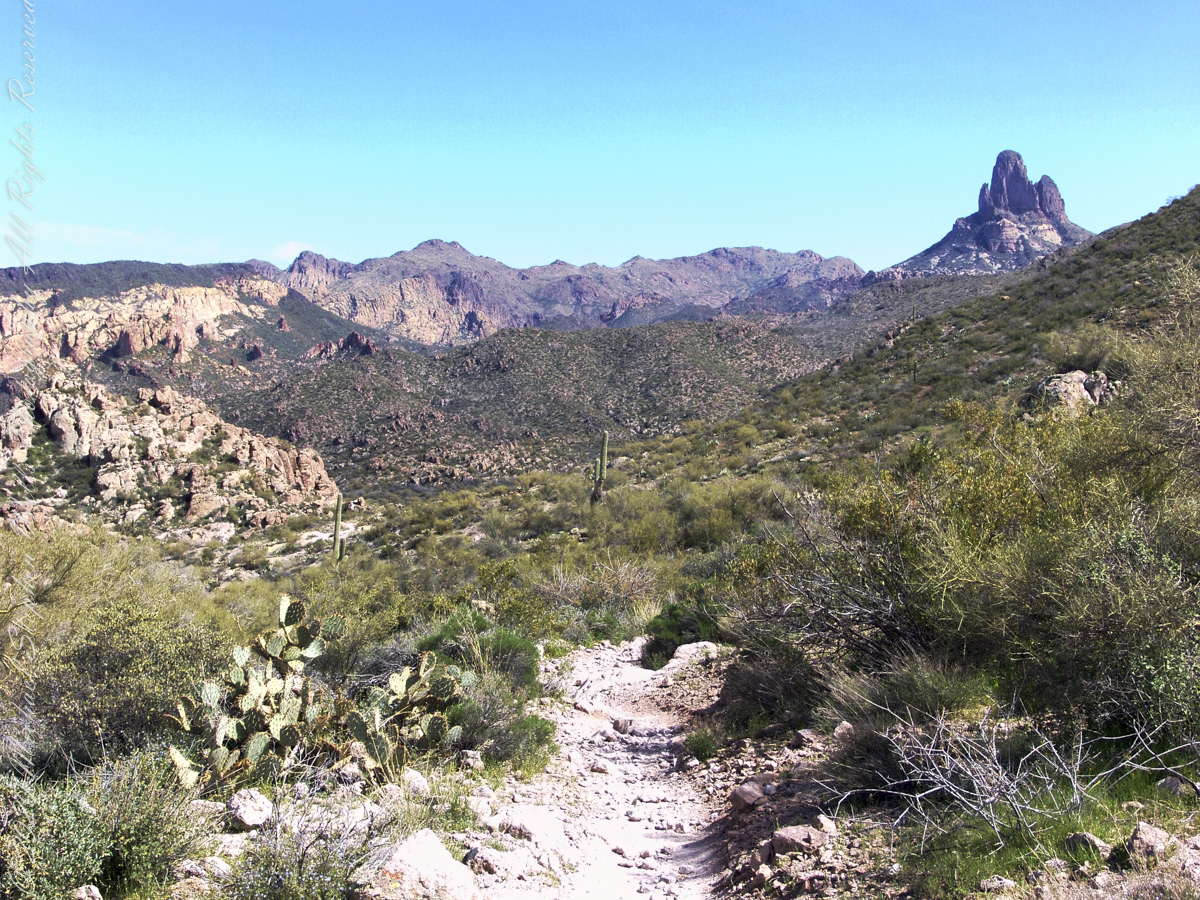
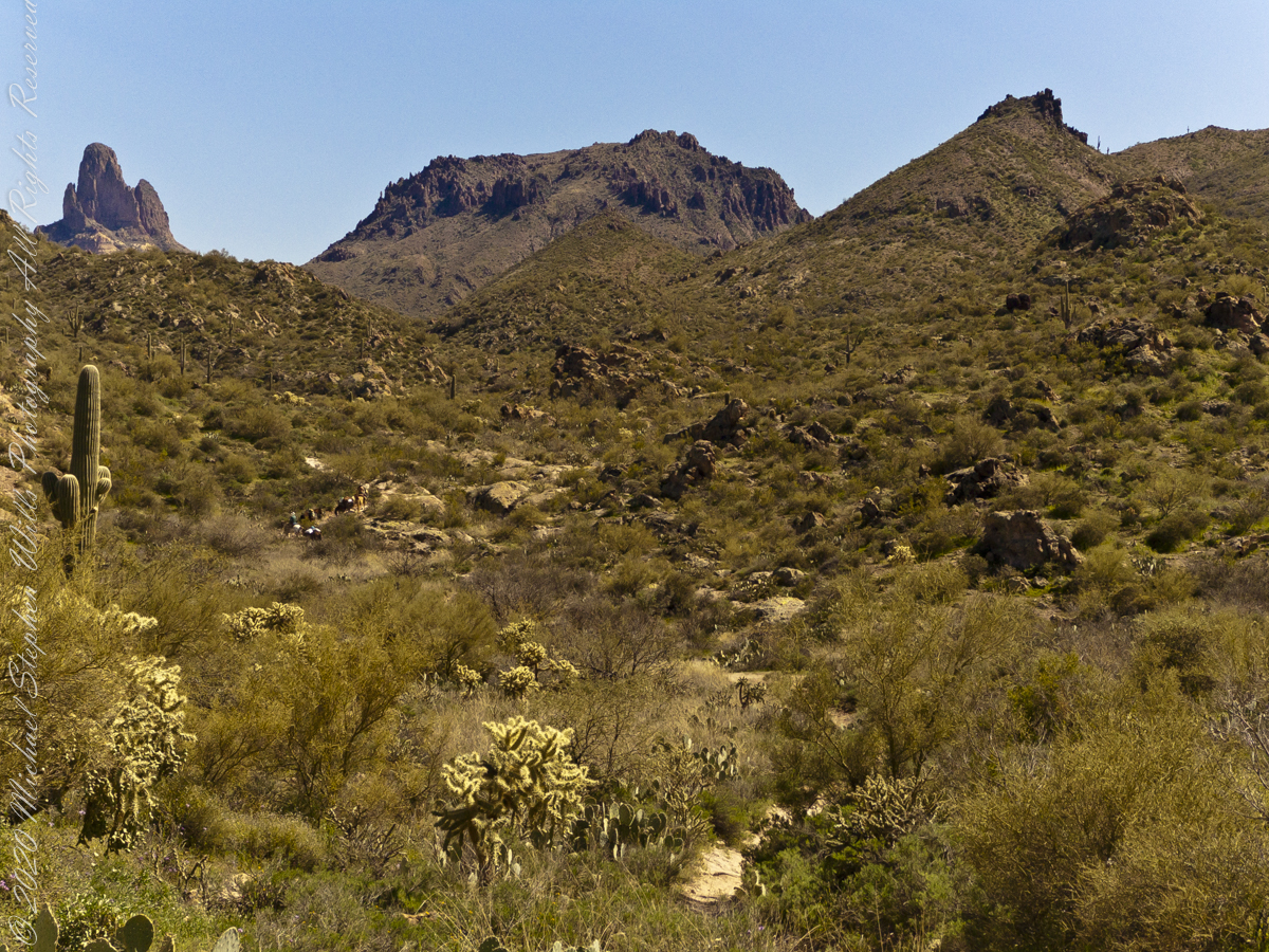
East Boulder Creek was flowing, in this season, a few feet away. Still, this mesquite is stressed, with a loss of over half of its bark. The ever-present Prickly Pear is in the middle distance. I prefer the image with the distant Weavers Needle, a neck of eroded volcanic rock, is brightened by the setting sun. To the left, the light-colored rock of Black Top Mesa is also of volcanic origin.

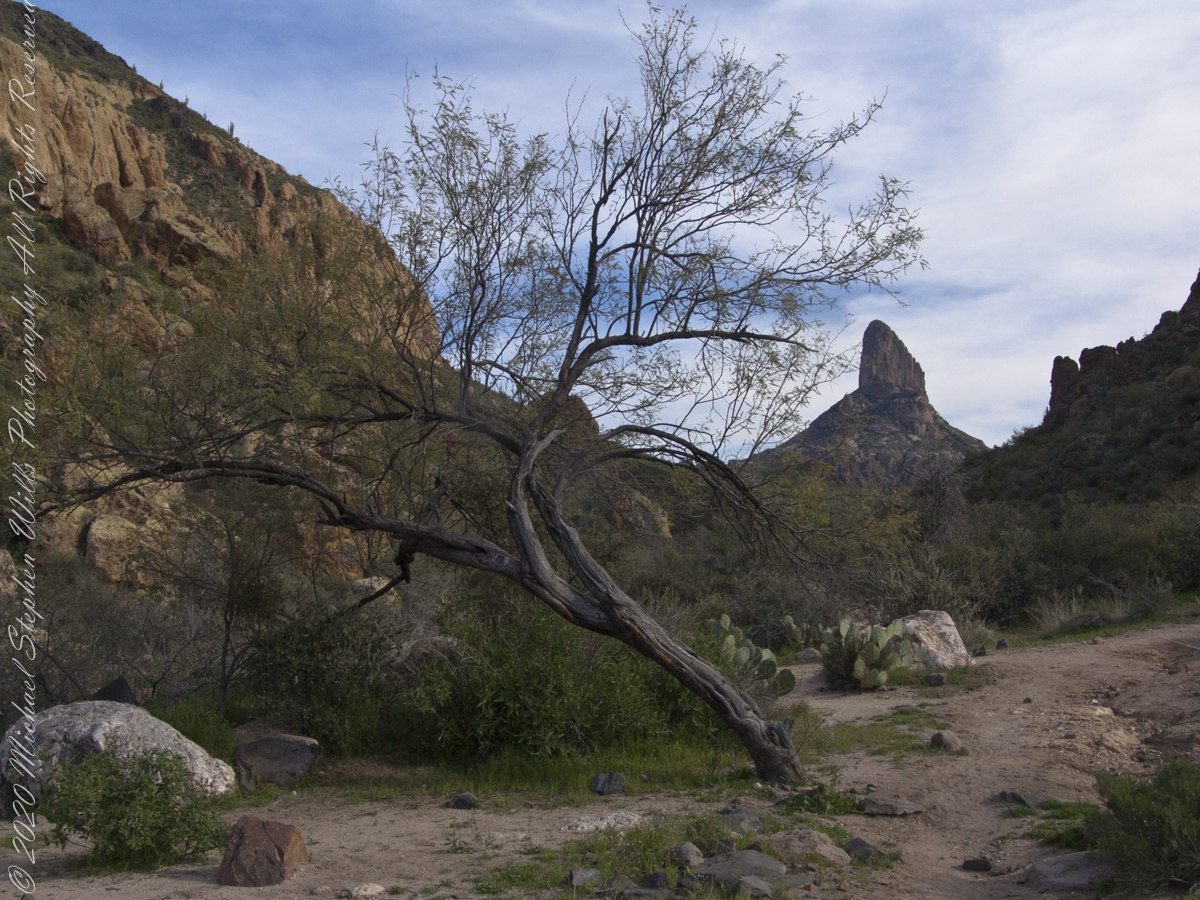
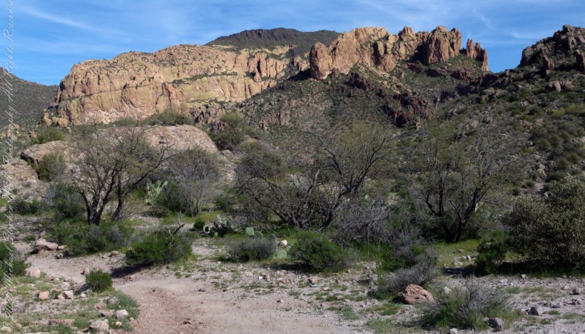
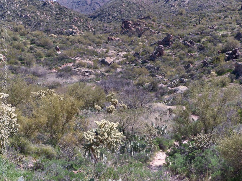
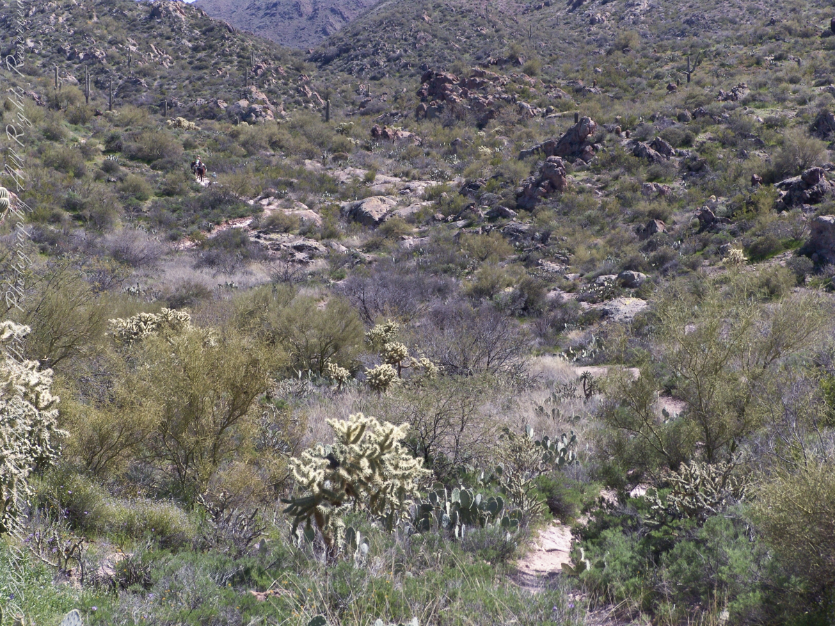
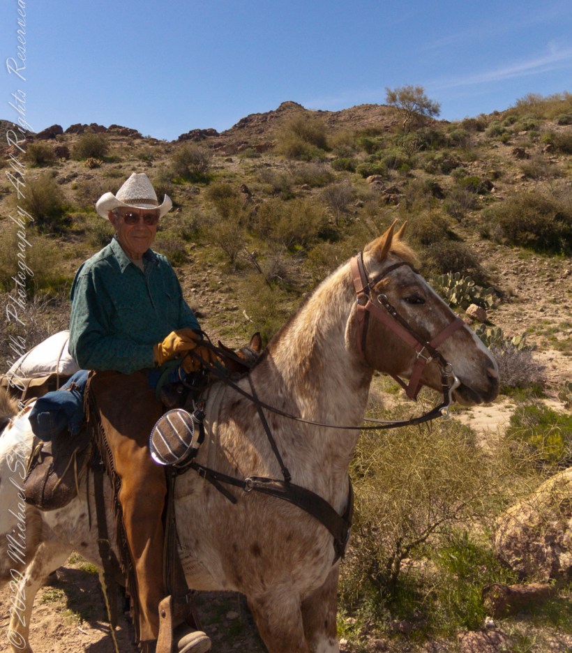
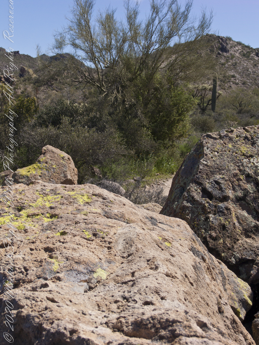
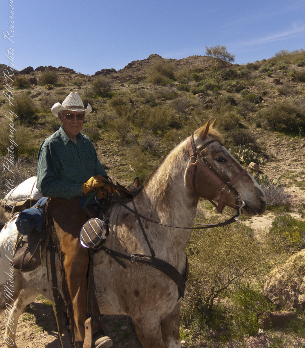
I am here on the Dutchman Trail between Black Top Mesa and Palamino Mountain, Superstition Wilderness, Tonto National Forest, Arizona.

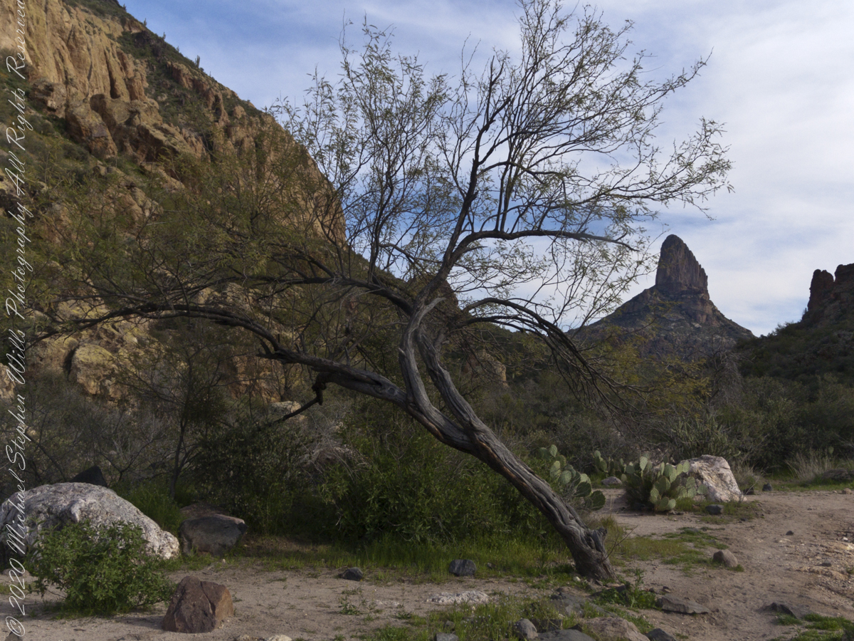
Here is a gallery of post images, making comparison easier. All were taken with a handheld Sony F828. Walking without a pack make it possible for me to wear the camera.

References:

Read more about the uses of mesquite.

Copyright 2022 Michael Stephen Wills All Rights Reserved

Black Top Mesa

Superstition Wilderness

The black basalt of the mesa, for which it is named, is just visible above the lighter colored alternating layers of ash and tuff all remnants of volcanic eruptions 15 to 29 million years ago. We are on the Dutchman trail with the slopes of Palamino Mountain on the right. Ahead, other members of the expedition are just visible.

Click Me for my Online Gallery

In this view the late afternoon shadow of Palamino Mountain reveals the defile to which we are headed. Poles of young Saguaro Cactus (Carnegiea gigantean), poke from the black basalt capping Black Top Mesa. Foreground left is Stag Horn Cholla (Cylindropuntia), on the right is Prickly Pear (Optuna).

.

Look carefully for a scattering of color, like gold dust, at the foot of the volcanic cliffs. That is spring blooms of Mexican Poppy (Eschscholtzia californica).

References:

Read more about Black Top Mesa

Copyright 2022 Michael Stephen Wills All Rights Reserved

Ridge

Superstition Wilderness

Starting from the First Water Trailhead, the Dutchman trail leads over Parker Pass into a large basin at which the branches, East and West and Little, of Boulder Canyon meet.

Click Me for my Online Gallery

This southeast view is from the widest portion of the basin. You are looking toward Palamino Mountain and the top of Weavers Needle. There’s a path in there up to that Palamino Mountain ridge, note the hoodoos on right.

References:

Learn More About Hoodoos

Read more about Palamino Mountain

Copyright 2022 Michael Stephen Wills All Rights Reserved

Named For A Horse

with Aylor’s Arch

Dutchman Trail turns right up ahead to proceed between Palamino Mountain and Black Top Mesa, both shown in this photograph. The ridge of the mountain reminds some of a horse and there is an arch, Aylor Arch, on the southern side: here was approach the north side. Aylor is the family name of gold prospectors who set up camp on that south side close to where we will spend the night below Weavers Needle.

Click Me for my Online Gallery

View of Palamino Mountain and Black Top Mesa from Dutchman’s trail.

Black Top Mesa is named for a layer of black basalt. Look closely to see the crags on the mesa (the flat-topped mountain) are black. Gold prospectors who combed Black Top Mesa over the years found not one speck of gold.

References:

Explore Aylor’s Arch

Read more about the Aylors and Palamino Mountain

Copyright 2024 Michael Stephen Wills All Rights Reserved

Looming

a deadly quest

O’Grady Canyon widens at the meeting with Little Boulder Canyon.

Click Me for my Online Gallery

Prickly Pear cactus is in foreground. In season these produce magnificent flowers, see below.

East by Southeast a low ridge forms the west side of the canyons above which Weaver’s Needle looms. “Weavers Needle has played a significant role in the stories of the Lost Dutchman’s Gold Mine. The Needle’s shadow reportedly indicates the location of a rich vein of gold, and many treasure hunters have searched for it. The hunt for gold around Weavers Needle has been pursued by hundreds (possibly thousands) of people. Weavers Needle has a large split in the side that makes it look like it has two tops, not one. This can only be viewed from the side.” — wikipedia

To the far left is Palamino Mountain.

Reference: wikipedia “Weavers Needle”

Copyright 2022 Michael Stephen Wills All Rights Reserved

On The Dutchman Trail

to Parker Pass

Our expedition party on Dutchman Trail. Ahead is Parker Pass. Look carefully to pick out two horsemen and three horses packing equipment and supplies. They travelled much faster than my 3 – 4 miles per hour on foot.

Click Me for my Online Gallery

Ahead is Parker Pass, the opening between the two hills in the middle distance. Weaver’s Needle, 3.7 miles distant, at left above the Parker Pass ridge. You can still see my party, ahead. I “zoomed” in for a better view of the party, rapidly pulling ahead and out of sight.

As I top a rise my party is out of sight, more of Weaver’s Needle is visible on the right. The trail falls here before rising again to achieve Parker Pass. Distances on the Lost Dutchman trail are difficult to estimate, visible objectives are much farther then they appear. Constant sun, clear air, difficult terrain conspires against the unprepared leading many into overextending their luck. As a case in point, 37 minutes transpired between the second and third photographs.


Click me for another Superstition Wilderness Episode

Copyright 2022 Michael Stephen Wills All Rights Reserved

Headed Out

The Beginning

Dutchman’s trail, starting from First Water Trailhead, meanders through Sonoran Desert hills and washes, gradually climbing about 400 feet before descending into Boulder canyon.

Click Me for my Online Gallery

We were a party of three with five horses: two mounts and three pack. I was on foot, unencumbered by the usual backpack loaded with 80+ pounds of equipment and supplies for an extended wilderness expedition. I used the opportunity to wear a Sony F828 camera, used for the handheld photographs of this series.

The following photograph is our expedition party on First Water Trail. That is Parker Pass, the opening between the two hills in the middle distance. Look carefully to pick out two horsemen and three horses packing equipment and supplied. They travelled much faster than my 3 – 4 miles per hour on foot.

Foregrounds are the “jumping” Cholla, cactus with sharp spines that seem to reach out and grab the unwary. During out trek from Apache Junction to First Water trail head we negotiated forests of this nasty plants.


Click me for another Superstition Wilderness Episode

Copyright 2022 Michael Stephen Wills All Rights Reserved

Desert Chicory

Macro work on Peter’s Trail

This is a type of daisy, formal name Rafinesquia neomexicana. This season, March 2008, it grew throughout the wilderness. You might know it as Plumeseed or New Mexico Plumeseed.

Click Me for my Online Gallery


Click me for another Superstition Wilderness Episode

Copyright 2022 Michael Stephen Wills All Rights Reserved

A Brief Happy Movie on the Solstice

a gorge walk

Walking around Taughannock Falls New York State Park on the solstice of 2019 starting from the Black Diamond trail head on Jackson Road, down the South Rim trail, up the North Rim Trail. We had a great deal of rain this week and the water filled the falls the full channel width.

The header photograph is a waterfall of Fillmore Glen, also in the Finger Lakes.

For a full screen view, click on the UTube icon, lower right of the video panel. The resolution is not very good so I also posted the source videos.

The movie is from the following videos and photos from my IPhone. The quality is better than the compilation video. I uploaded the following videos directly to WordPress. I was not able to get the “full view” icon to work on my browser. Enjoy

View of the upper gorge, above the falls, from the South Rim
View into the gorge from the South Rim
Distant view of Taughannock Falls from the South Rim
Click on any of the photographs for a larger view.
The stair down from the gorge South Rim
View of the forest of the South Rim
The stairs up to the North Rim of the gorge
View of the forest of the North Rim

A turkey vulture soars by towards the end of the following.

View of gorge from the North Rim
View into the gorge from the North Rim
Taughannock Falls and “Ant People” from the overlook
Taughannock Falls from the North Rim
Copyright 2019 All Rights Reserved Michael Stephen Wills

Island Shrine

part of the Irish landscape

A roadside shrine on Cottage Road, Inishmore. The faith brought by the saints has deep roots here.

A large crucifix set with wet stone walls with cut flowers. The walls are the native limestone.

It is a spring (early June) afternoon and there are fern and wildflowers. The white flowers are Greater Burnet saxifrage (Scientific Name: Pimpinella major).

Click Me for Getty IStock photography of the Aran Islands

The existing dry stone wall was interrupted by the shrine. In the distance are dry stone walls around fields, a stone shed, feeding horses and the sea, being Galway Bay, storm clouds with distant rain.

Aran Islands, County Galway, Ireland.

Click me for the first post of this series, “Horse Trap on Inishmore.”

References: search google “Wet Stone”

Copyright 2022 Michael Stephen Wills All Rights Reserved