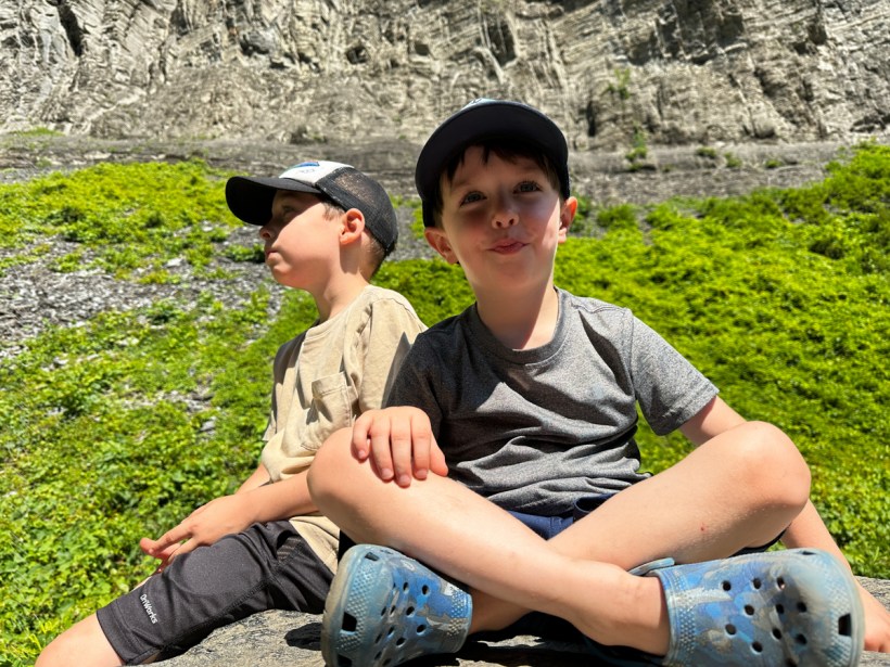
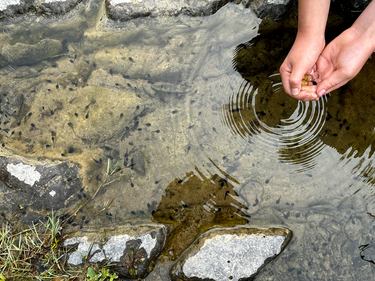
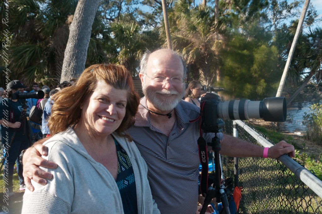
Here is a sample of my wife Pam’s photography skills by way of a video with music created by her IPhone 8.
Here is a sample of my wife Pam’s photography skills by way of a video with music created by her IPhone 8.
Several possible sources have been proposed for the name Taughannock, all of which describe Native American origins. One translation suggests that the name is derived from a combination of Iroquois and Algonquin terms meaning “great fall in the woods”. An alternate theory suggests that the name may refer to a Lenni Lenape (Delaware) chief named Taughannock who died near the falls during a battle.

During the second half of the nineteenth century, steamboats, railroads and Victorian hotels were built in the region to serve tourists who traveled to view the falls. By 1925 the hotels were failing due to a decline in tourism, and New York State began acquiring land to form a park.

J.S. Halsey built a two and a half story hotel in 1850, known variously as the Cataract Hotel or Taughannock House (or simply as Halsey’s Hotel) at the Taughannock Falls Overlook.
Visitors could reach the hotel by taking a train to Cayuga Lake, take a steamboat across the lake to Goodwin’s Point, then finally board a stagecoach to reach the hotel. The hotel site today is the location of the park visitor center and parking lot.
Enjoy!!

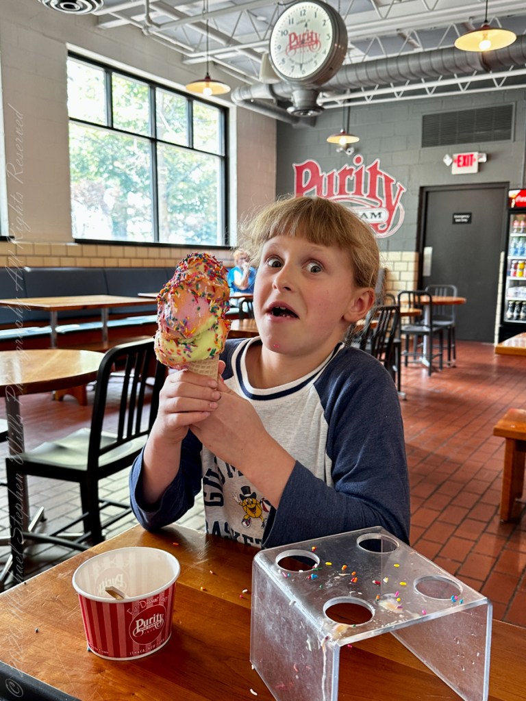
and ice cream!!
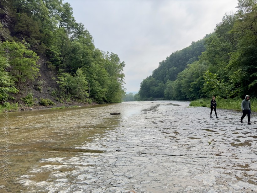
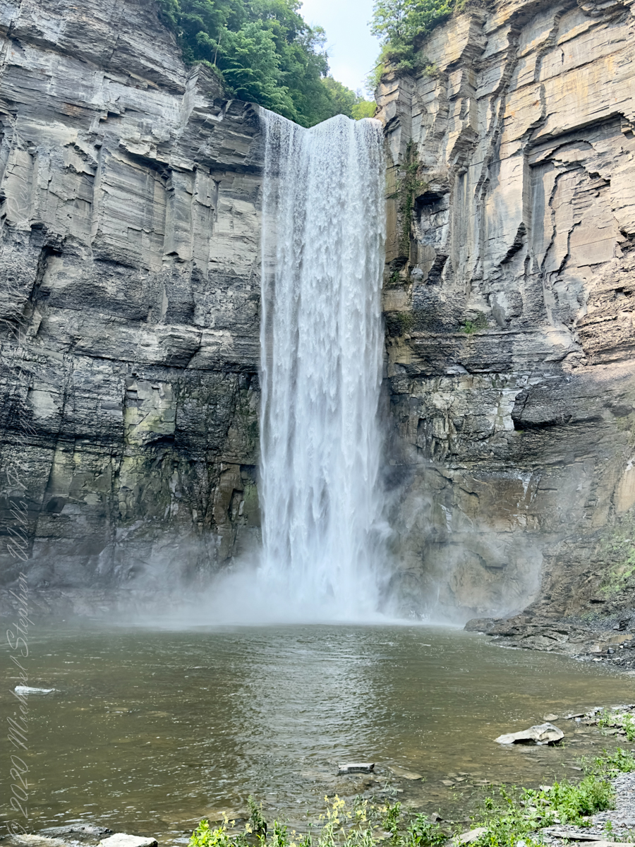
The waterfall and gorge comprise an example of a hanging valley, formed where Taughannock Creek’s stream-carved valley meets the deeper glacially carved valley that contains Cayuga Lake.
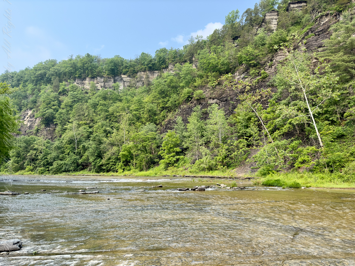
The gorge has continued to retreat westward from Cayuga Lake as easily eroded shale near the fall’s base is worn away by the stream, which supports erosion-resistant siltstone and sandstone found in the upper portions of the gorge.
Annual freeze and thaw cycles also act upon small faults in the rock, causing large sections to occasionally break away, further expanding the gorge.
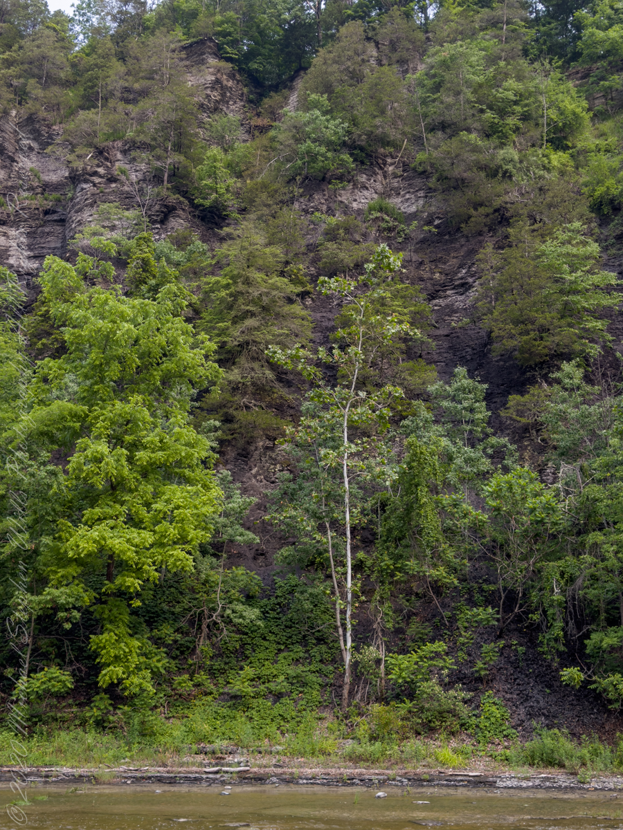
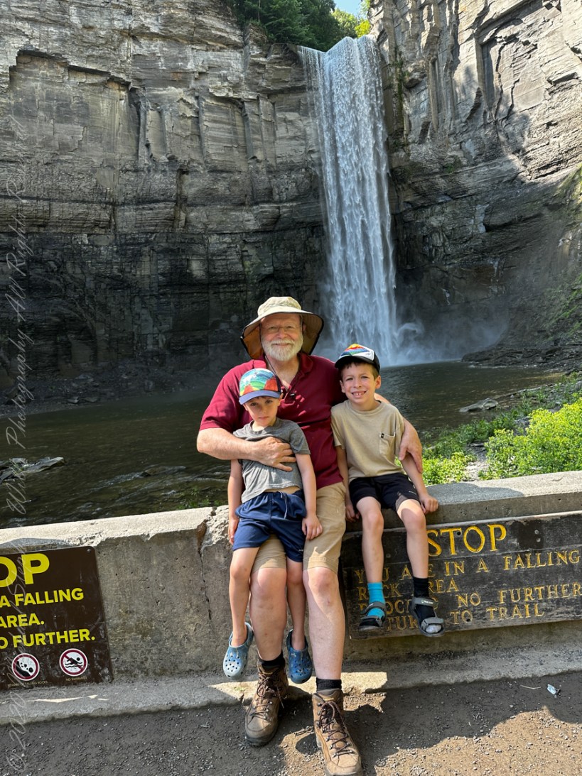
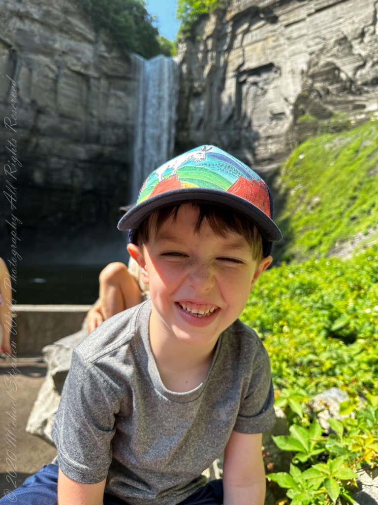
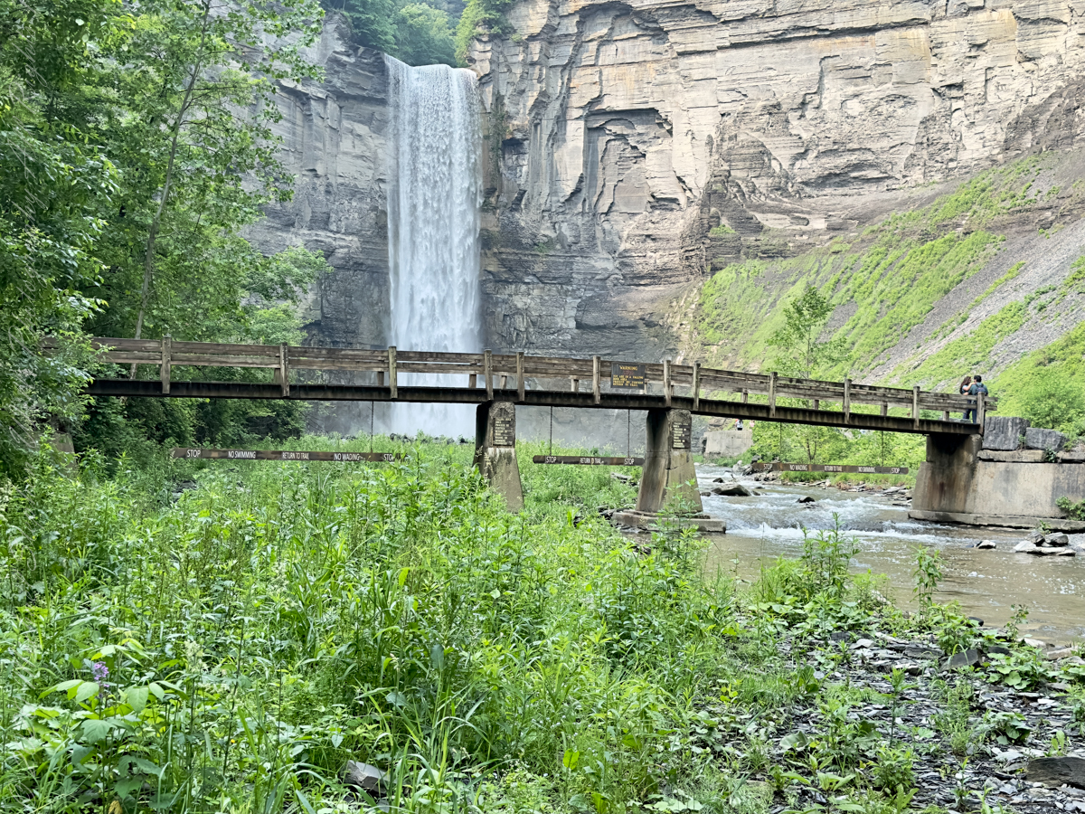
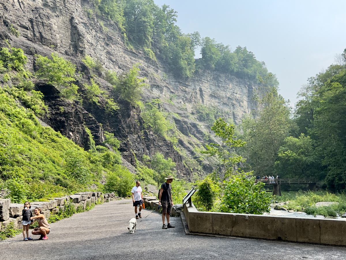
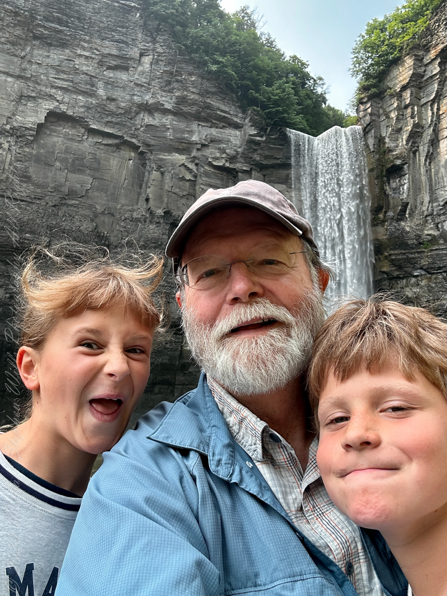
Taughannock Falls’ main cataract is a 215-foot drop (66 m), making it 33 feet (10 m) taller than Niagara Falls. It is the tallest single-drop waterfall east of the Rocky Mountains. The waterfall is located along Taughannock Creek, which flows through a long gorge with cliffs up to 400 feet (120 m) high.
Enjoy!!

February 6, 2018
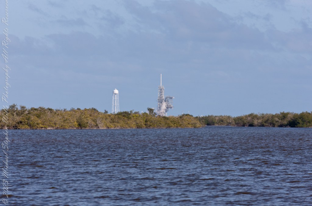
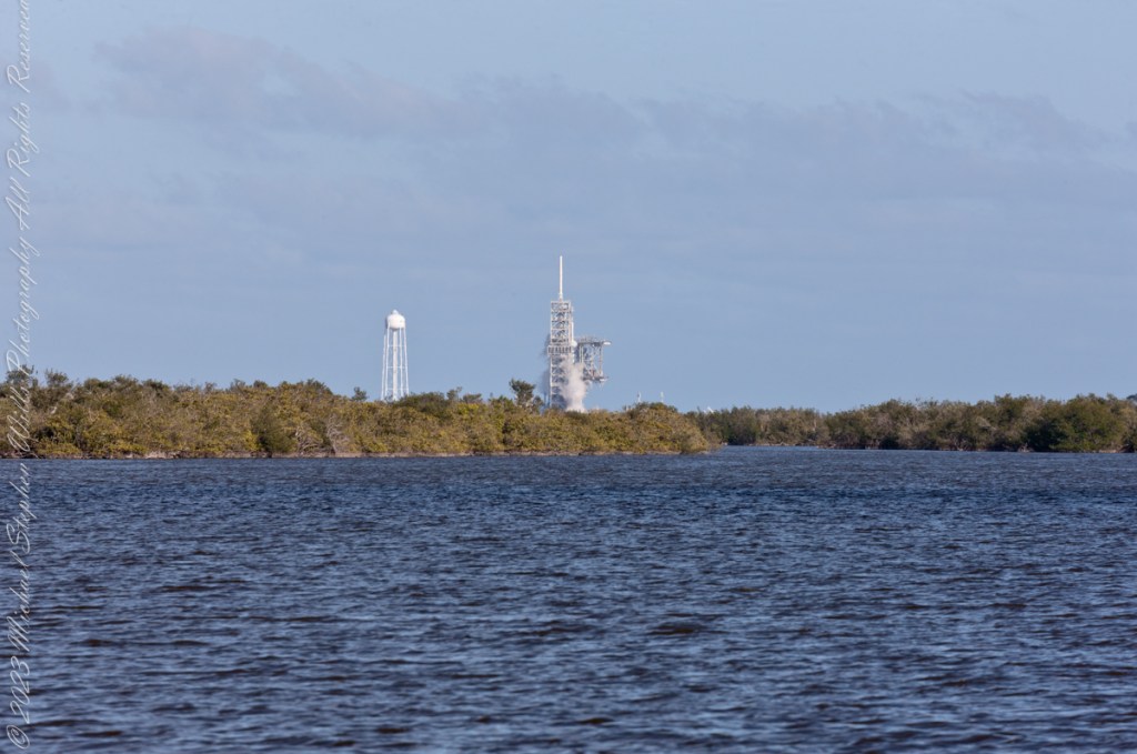
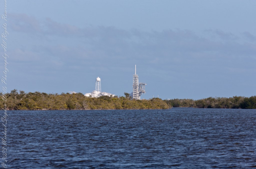
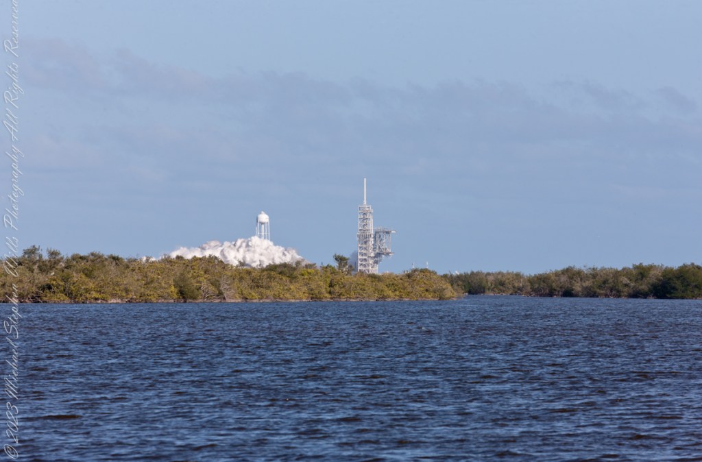
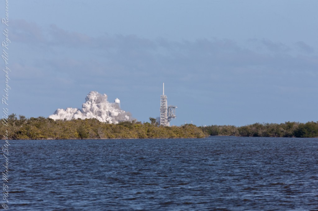
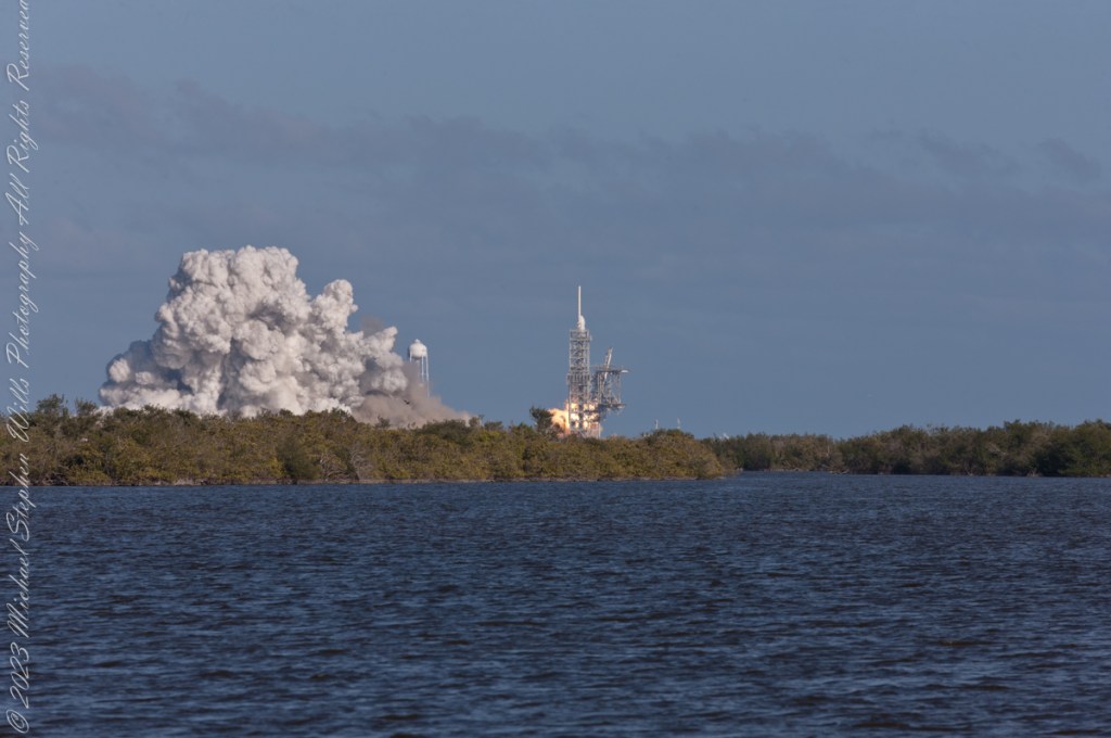
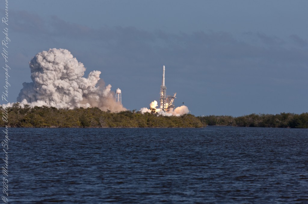
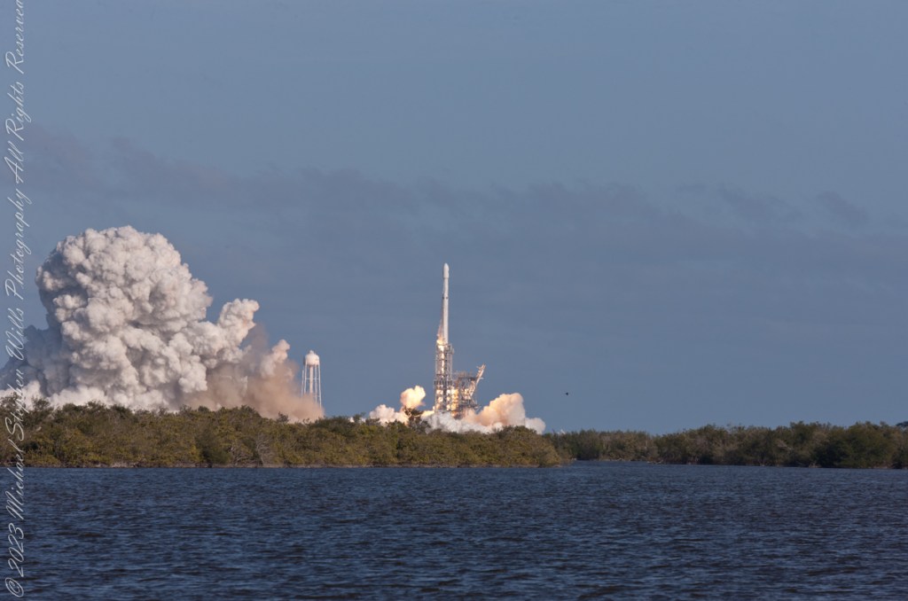
“Falcon Heavy is a partially reusable super heavy-lift launch vehicle[a] that can carry cargo into Earth orbit, and beyond. It is designed, manufactured and launched by American aerospace company SpaceX.“
“The rocket consists of a center core on which two Falcon 9 boosters are attached, and a second stage on top of the center core. Falcon Heavy has the second highest payload capacity of any currently operational launch vehicle behind NASA’s Space Launch System, and the fourth-highest capacity of any rocket to reach orbit, trailing behind the SLS, Energia and the Saturn V.“
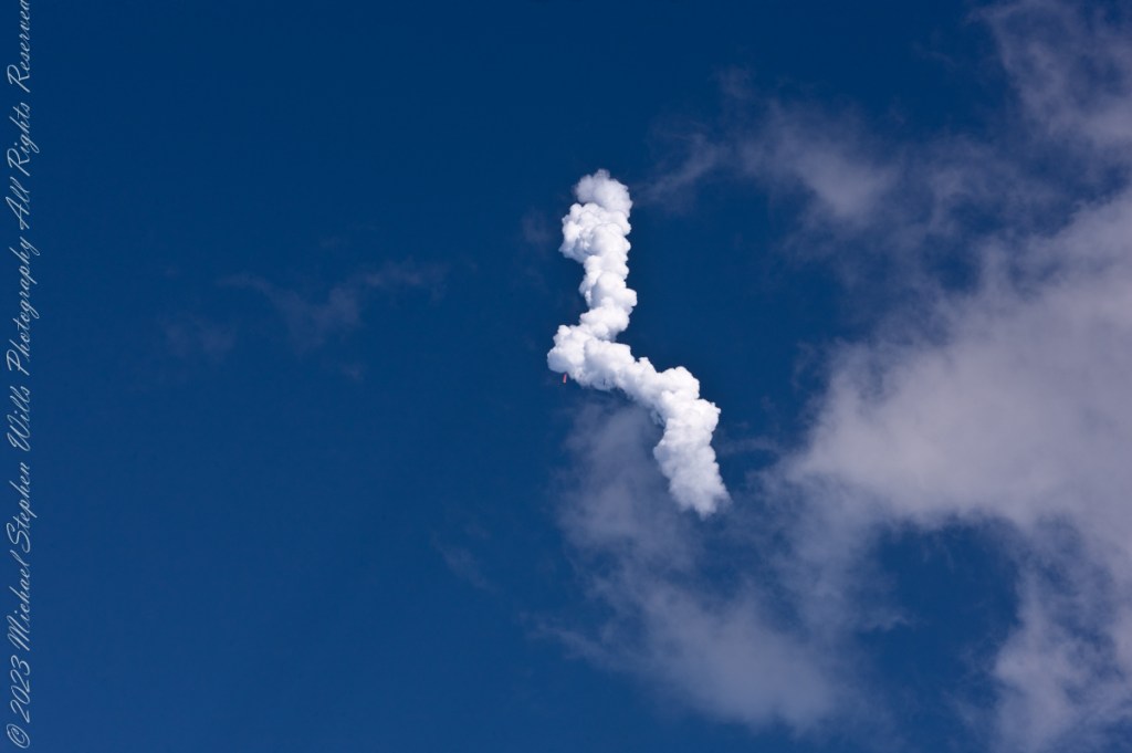
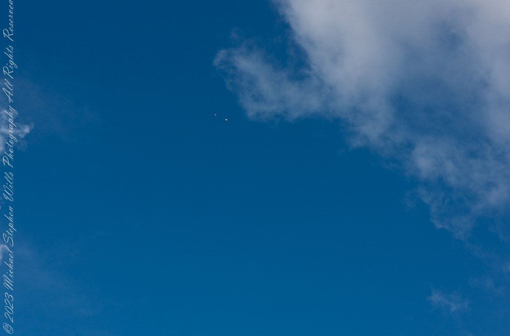
“SpaceX conducted Falcon Heavy’s maiden launch on 6 February 2018, at 20:45 UTC. As a dummy payload, the rocket carried a Tesla Roadster belonging to SpaceX founder Elon Musk, with a mannequin dubbed “Starman” in the driver’s seat. The second Falcon Heavy launch occurred on 11 April 2019, and all three booster rockets successfully returned to Earth. The third Falcon Heavy launch successfully occurred on 25 June 2019. Since then, Falcon Heavy has been certified for the National Security Space Launch (NSSL) program.“


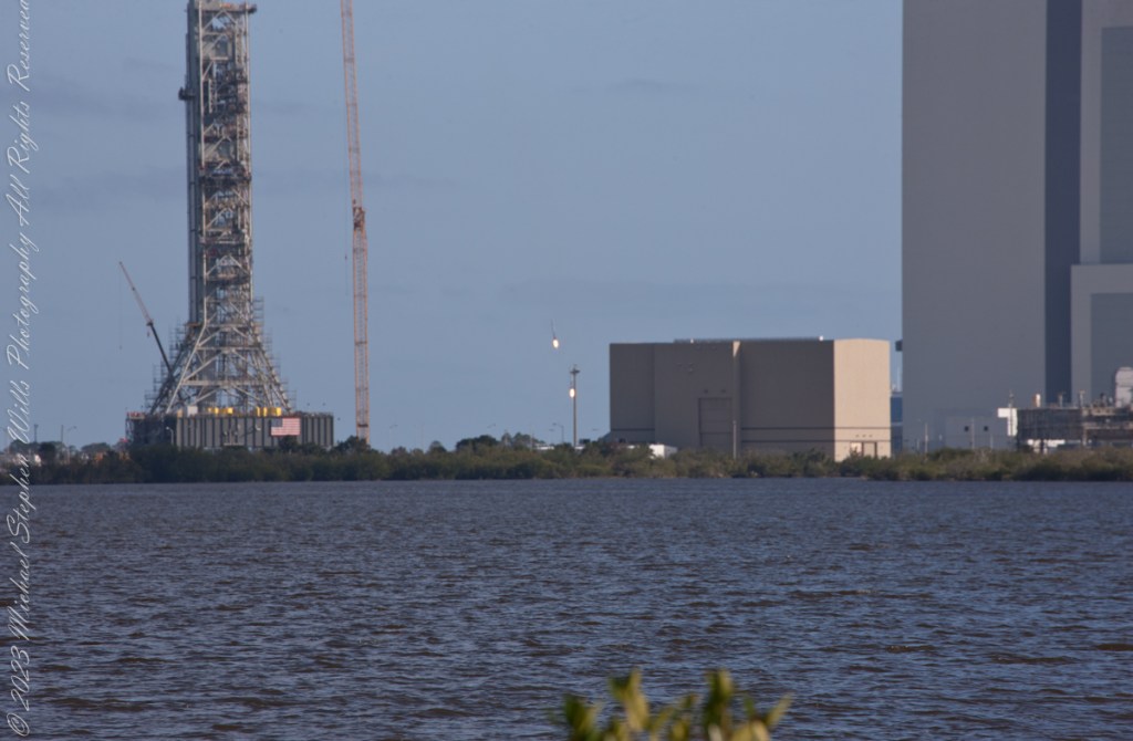
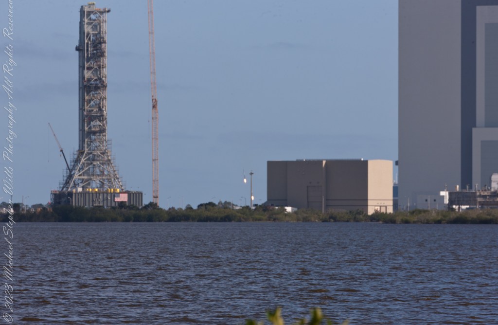
“Falcon Heavy was designed to be able to carry humans into space beyond low Earth orbit, although as of February 2018, SpaceX does not intend to transport people on Falcon Heavy, nor pursue the human-rating certification process to transport NASA astronauts. Both Falcon Heavy and Falcon 9 are expected to eventually be superseded by the Starship launch system, currently being developed.“
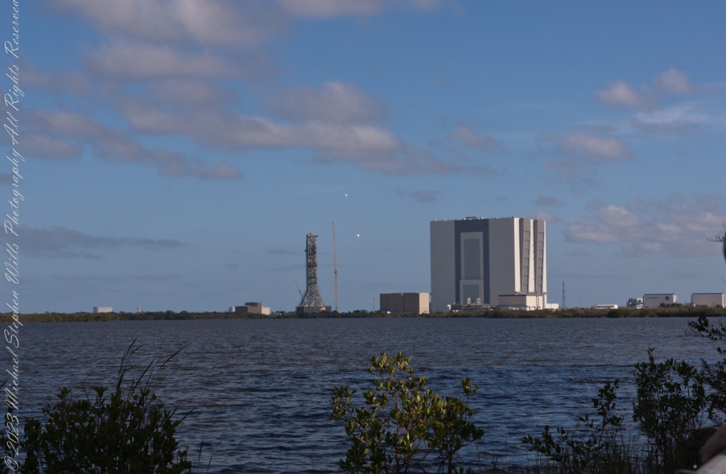
“On 6 February 2018, after a delay of over two hours due to high winds, Falcon Heavy lifted off at 20:45 UTC. Its side boosters landed safely on Landing Zones 1 and 2 a few minutes later. However, only one of the three engines on the center booster that were intended to restart ignited during descent, causing the booster to be destroyed upon impacting the ocean at a speed of over 480 km/h (300 mph).“
“Initially, Elon Musk tweeted that the Roadster had overshot its planned heliocentric orbit, and would reach the asteroid belt. Later, observations by telescopes showed that the Roadster would only slightly exceed the orbit of Mars at aphelion.“

Where is the ironing board?
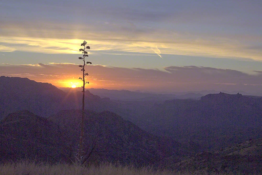
The setting sun’s glow on the end point of Upper Siphon Draw trail, The Flatiron.
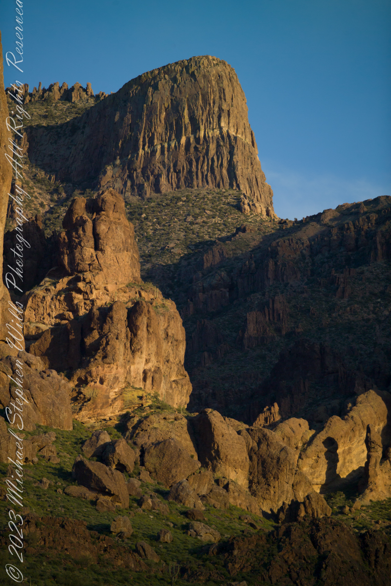
The mountain was formed by a series of volcanic eruptions between 20.5 and 18 million years ago. The west face of the mountain is composed of dacite lava and rhyolitic tuff. The overlying tuff was deposited during an eruption which created a collapse caldera bounded by faults. Dome resurgence reactivated these faults, causing uplift of the caldera floor which juxtaposed the softer tuff and more resistant dacite. Differential weathering caused the outer tuff to erode faster, leaving the dacite cliffs exposed and creating the prominent mountain visible today.
The Flatiron, the mesa-like projection above us in this view, is long solidified dacite lava. The word dacite comes from Dacia, a province of the Roman Empire which lay between the Danube River and Carpathian Mountains (now modern Romania and Moldova) where the rock was first described. Lost Dutchman State Park, Apache Junction, Maricopa County, Arizona
Copyright 2023 Michael Stephen Wills All Rights Reserved
a personal narrative
An excerpt from an interview by Diane Frances Wills of our father Thomas Francis Wills for a seventh-grade assignment about 1971. I did some editing to correct the date based on historical records and my father’s military records (Michael Stephen Wills).
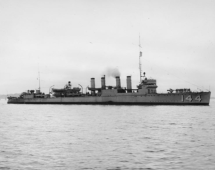
Thomas enlisted for the navy one day after his 24th birthday, September 25, 1939 and served 6 years and a few weeks until October 7, 1945 having experienced the Battle of the Atlantic (American Defense Medal) and liberation of the Philippines (WWII Victory Medal, American Campaign Medal, Asiatic Pacific Theater, Philippine Liberation Ribbon). Here is his description of an incident from that time:
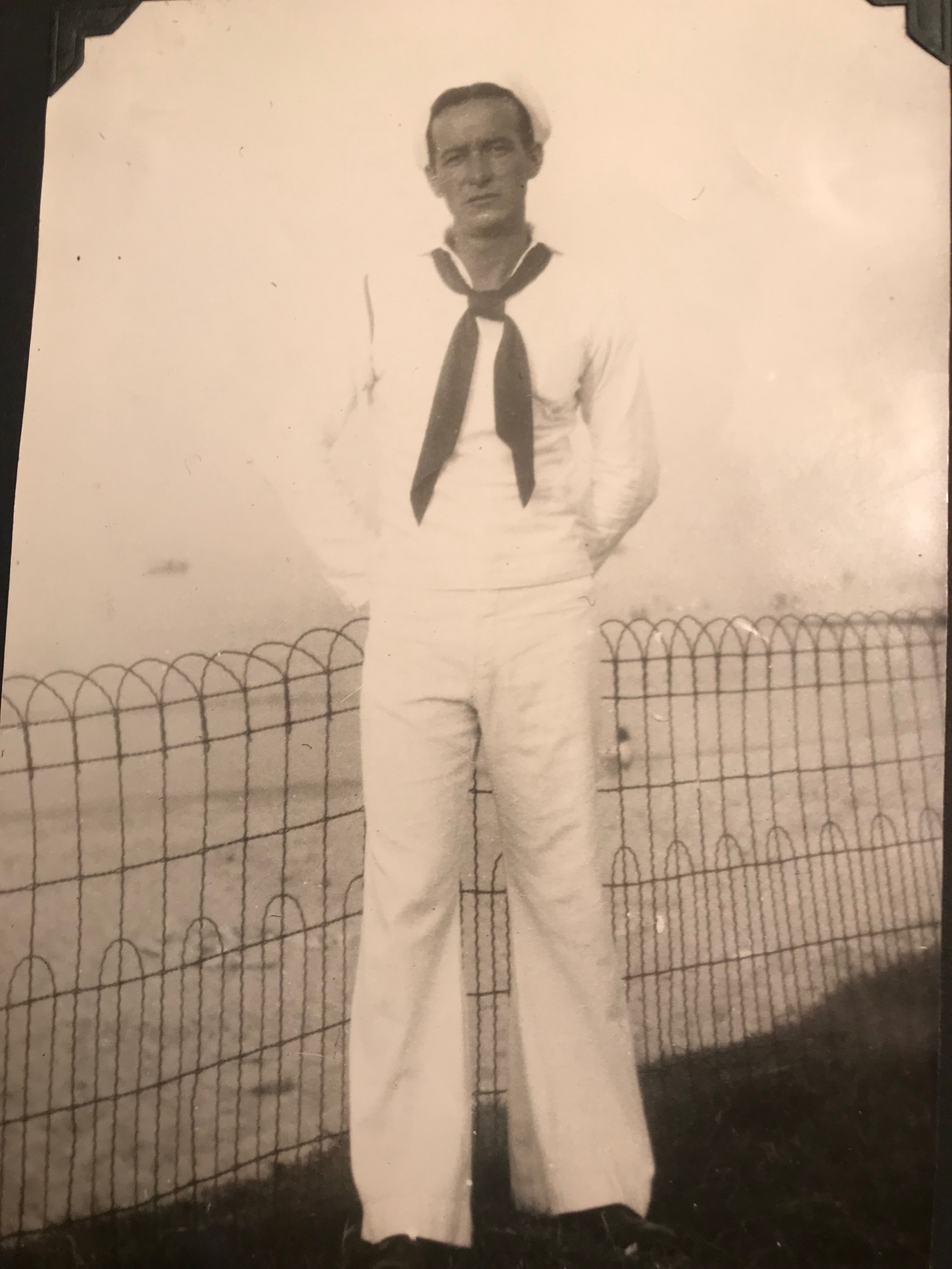
1 Year, 6 months after my enlistment in New York City, March 1941, on the USS Upshur two days out of Boston on its run to Reykjavik, Iceland delivering mail and supplies to the marines stationed to prevent the Germans from establishing a base. Steaming north we got word there was a gale blowing in our path. We all became apprehensive. I asked Bill Rogers, the radioman, about the approaching storm. “Say, Bill, I see by the weather report we’re heading info some rough weather. How long do you think it will last?”
“Yeah, according to the latest weather report it is a regular Northeaster and we can expect a couple days of rough winds and high waves, also very cold weather. We’ll have to secure everything topside so it won’t blow or be washed overboard. We can also expect very little in the way of normal meals except for maybe coffee and sandwiches.” On such a small ship the cooks can’t prepare meals in such weather.

As we approached the storm zone the sea got rough and the wind started blowing. Soon we were well into a horrible storm. The sky got dark and gloomy, full of dark bold clouds. The ocean rough, choppy and black. The rain started coming down sharp and harsh, cold and icy. The rain cut through your body like piercing arrows, it chilled your bones.
Sometimes I thought the ship was going to sink, the waves and the wind were so strong. The bow would go bluntly into the water. The ship listed sideways, seeming to almost rolling over. The waves carried our ship up, then go out from underneath sending us crashing down. This happened over and over, endlessly.
I was on duty in the radio shack and had to walk the whole length of the ship from my sleeping quarters. Many times, I almost went overboard, the wind was so strong. I could lay on my stomach but it did not help because I could still slide through the railings. I would freeze to death in five minutes in that water. I hope I never had to go through that again, seems like yesterday. All we had to wear was a sailor suit, not too warm. I’d just get all soaked.
My shipmates and I, a five-foot eight-inch boy of 25 with dark brown hair, had to be calm and keep doing our normal scheduled duties, because we learned you can’t get panicky or else you will put your whole ship out of order.
The storm went on until the end of night. I thought the storm would never end. It felt as if it lasted a week. At that time no other ships sailed with us, so there was no possibility of help. Nobody fell over the side or was drowned.
After that, a German U-Boat launched a torpedo at us and missed. We searched, tried to sink them without success.


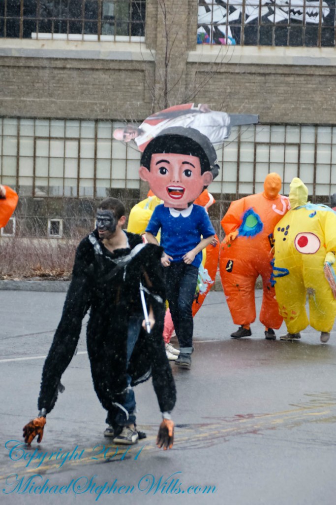
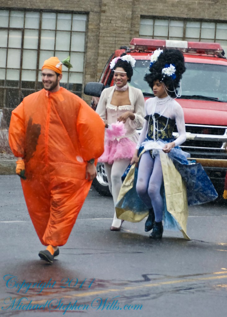
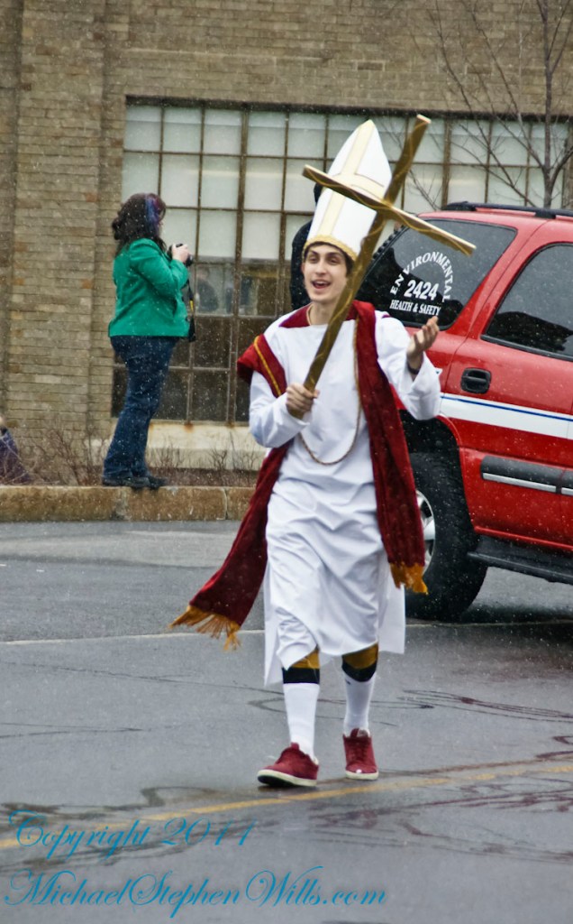
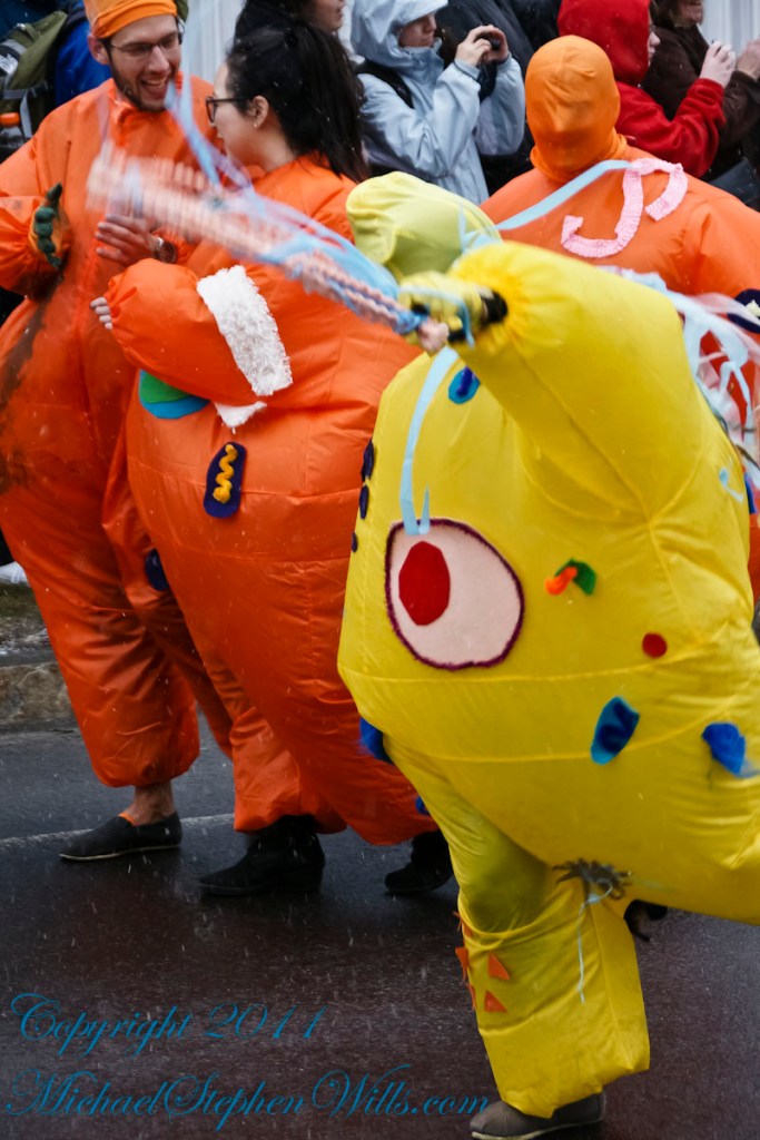
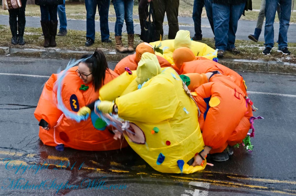
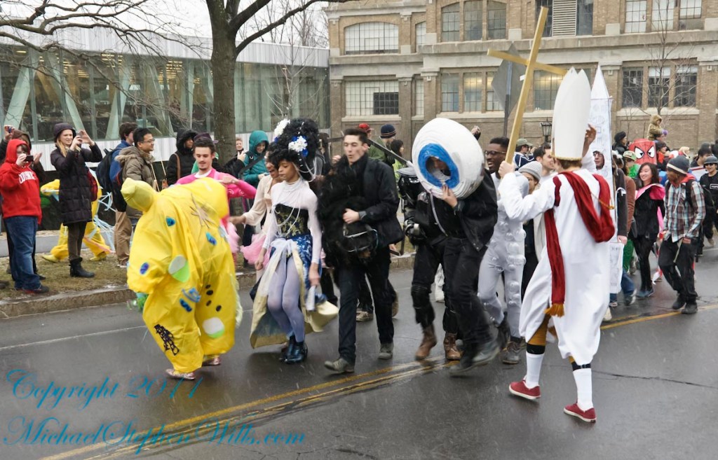
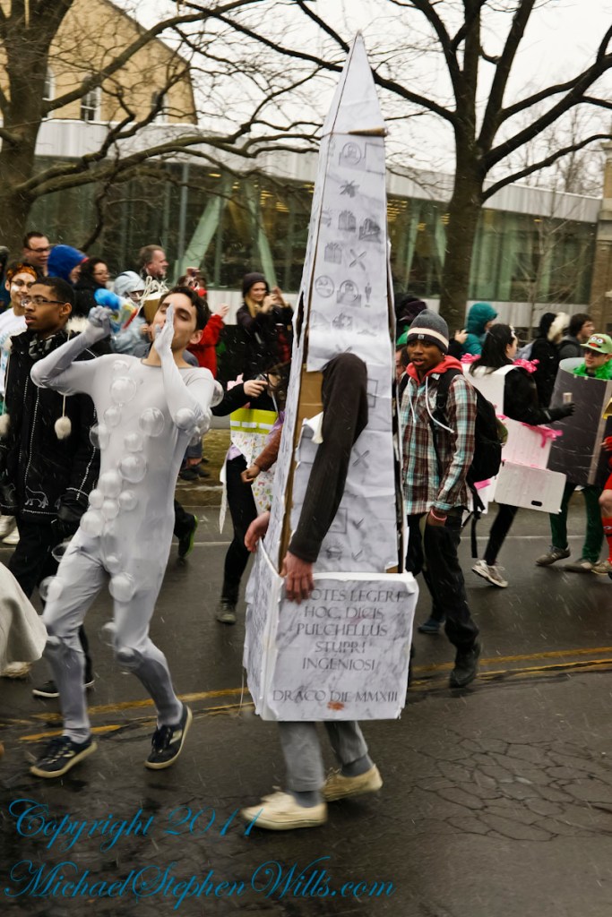
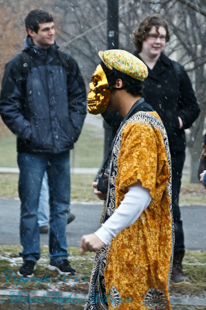

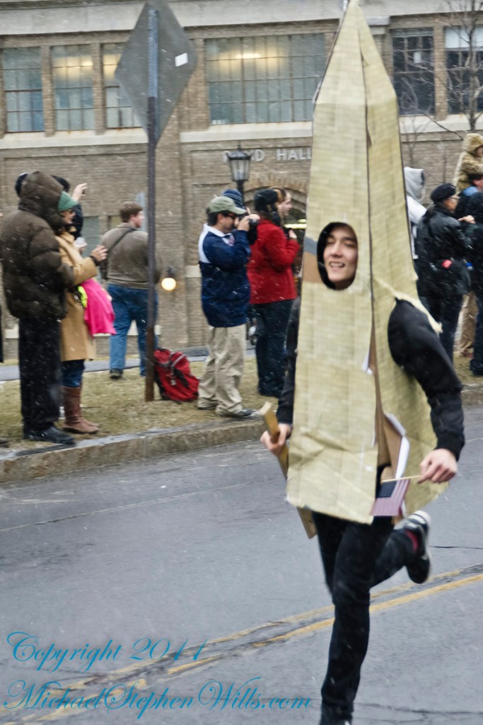
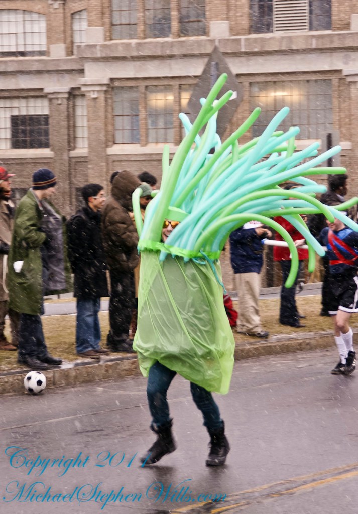
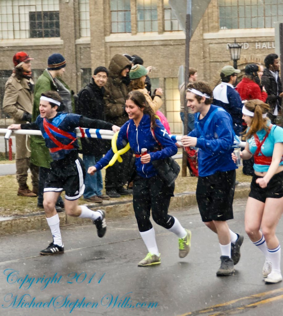
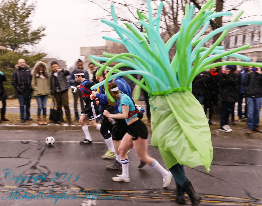
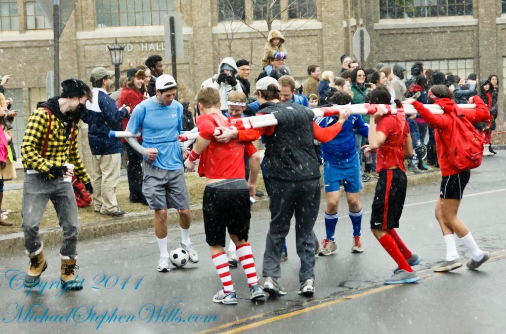
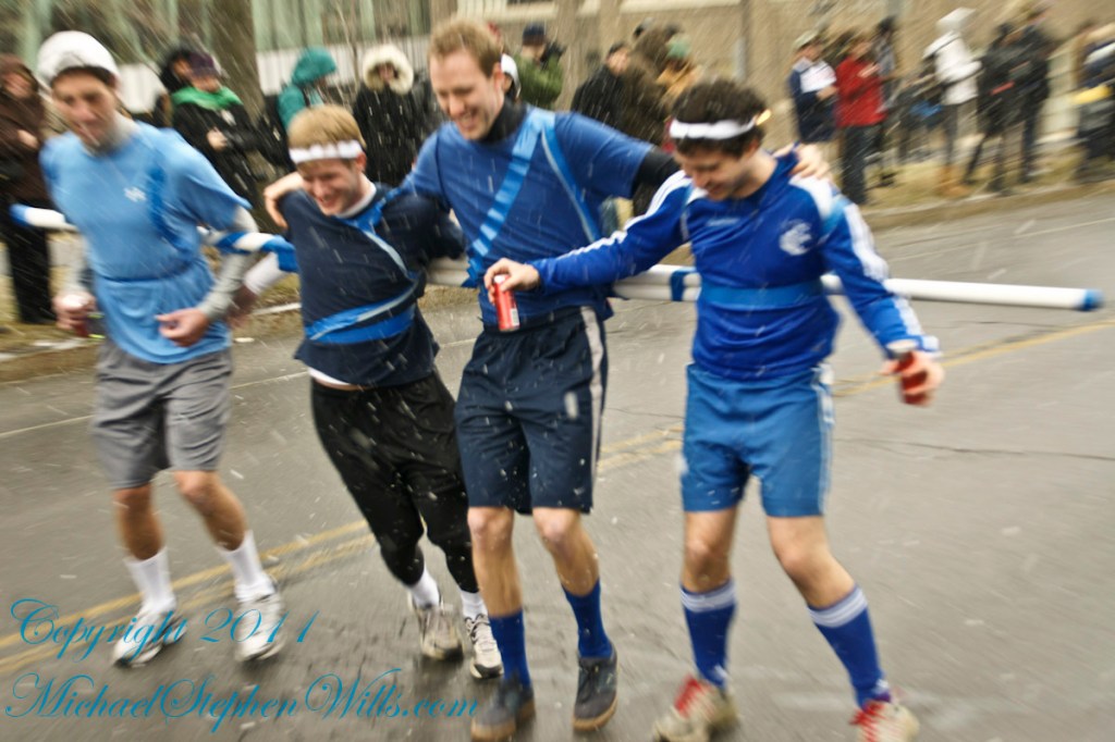
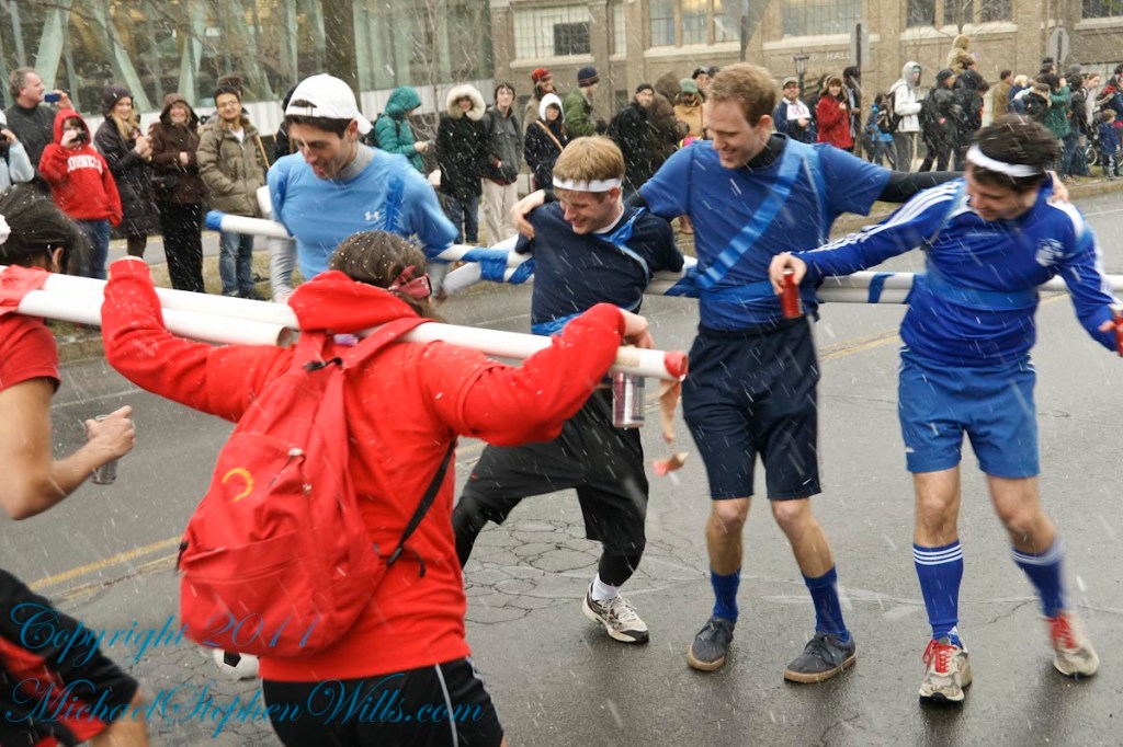
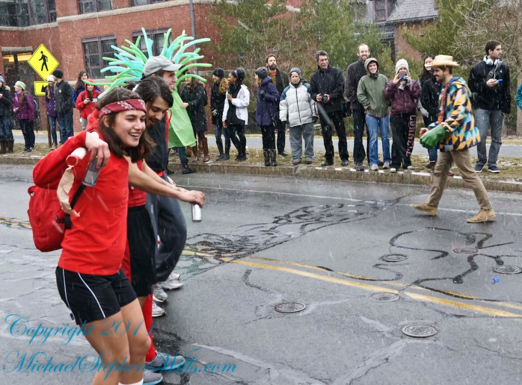
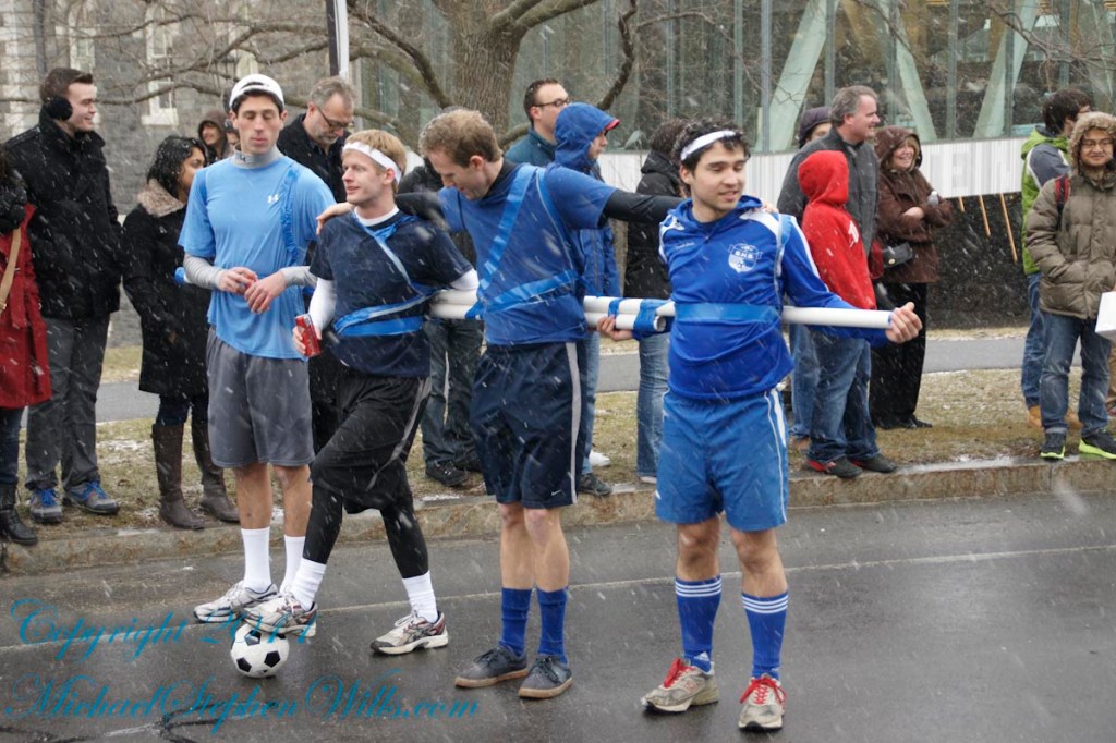
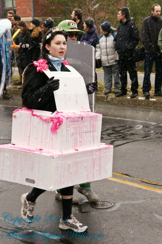
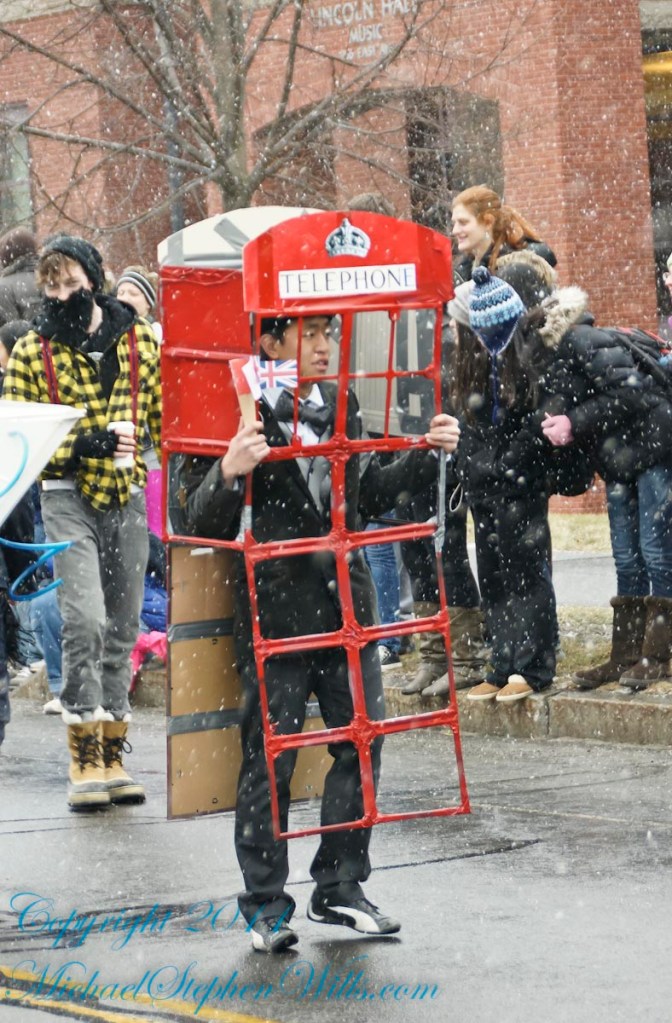
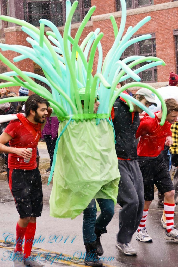
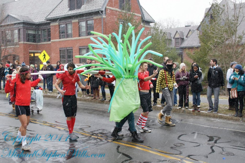

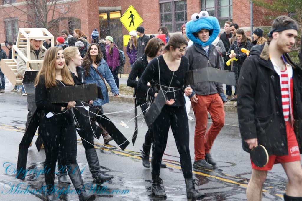

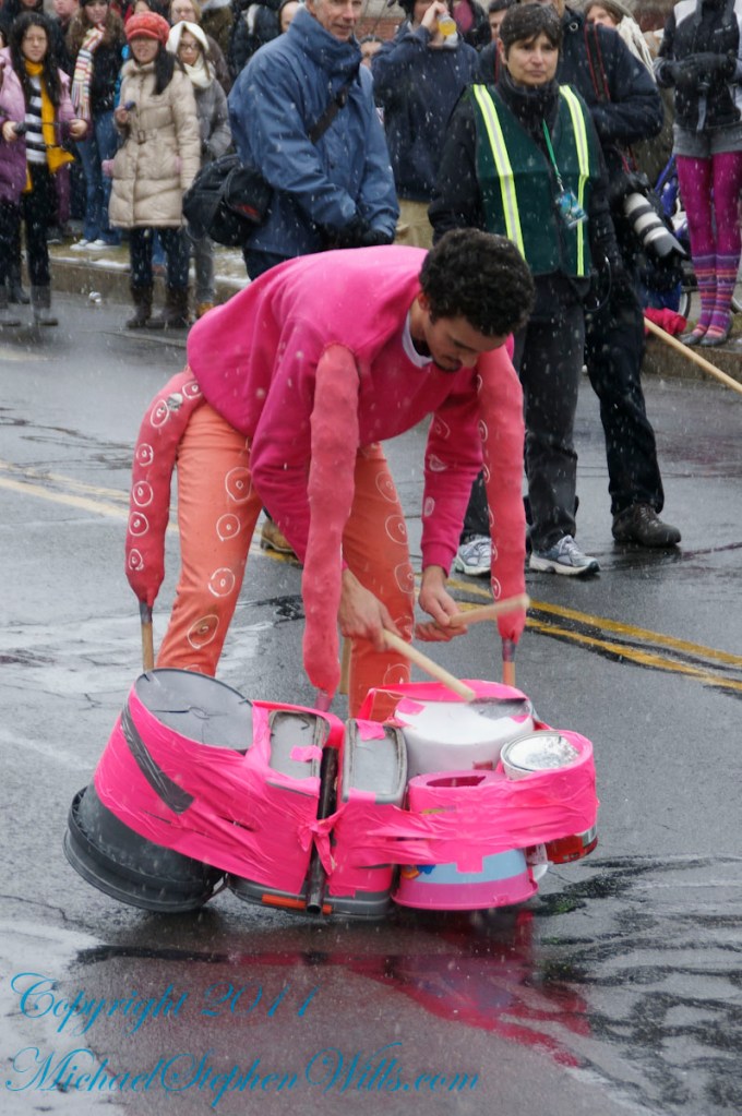
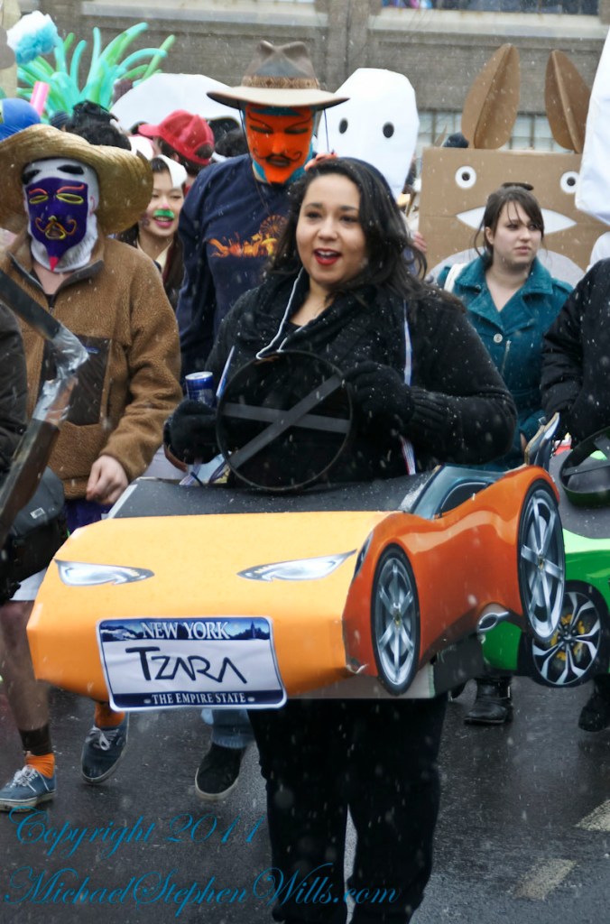
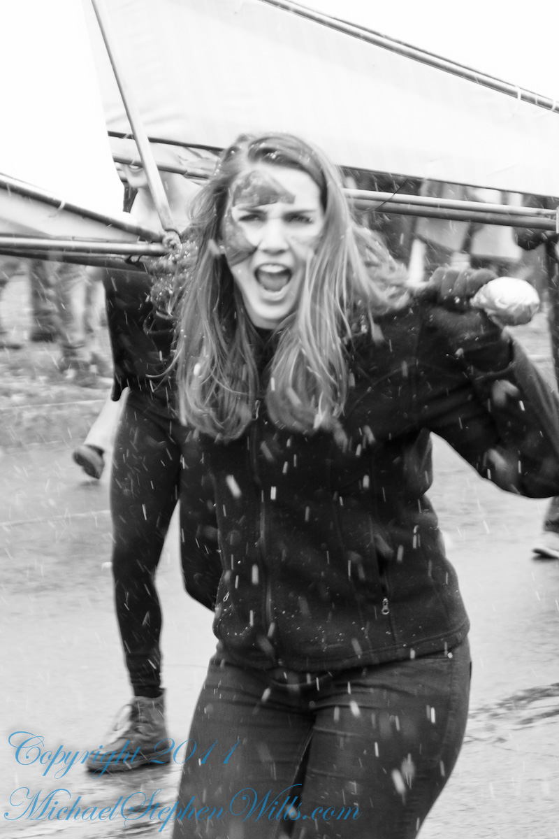
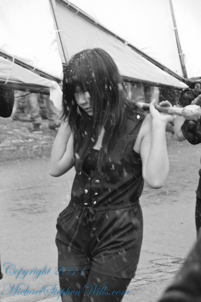
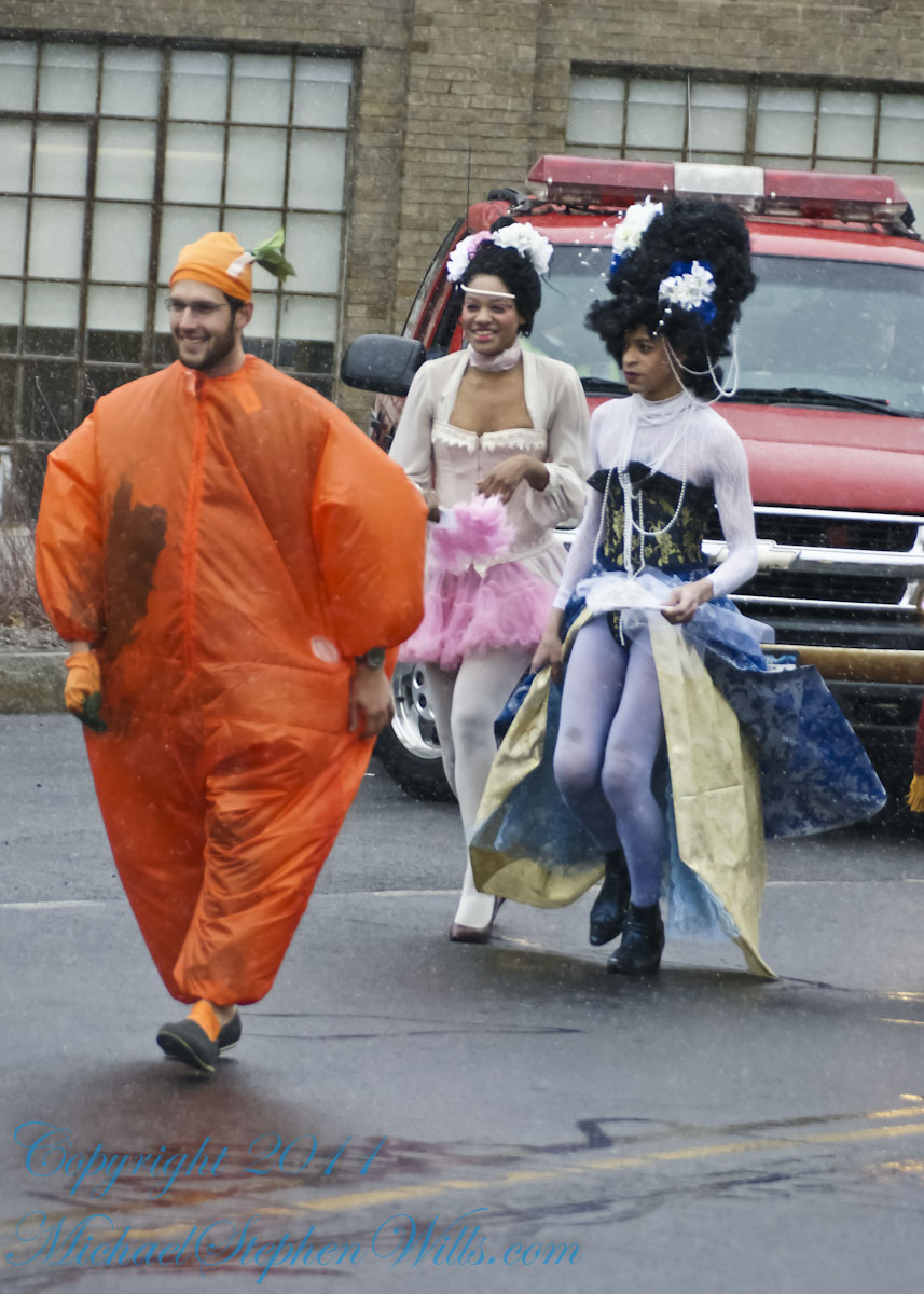

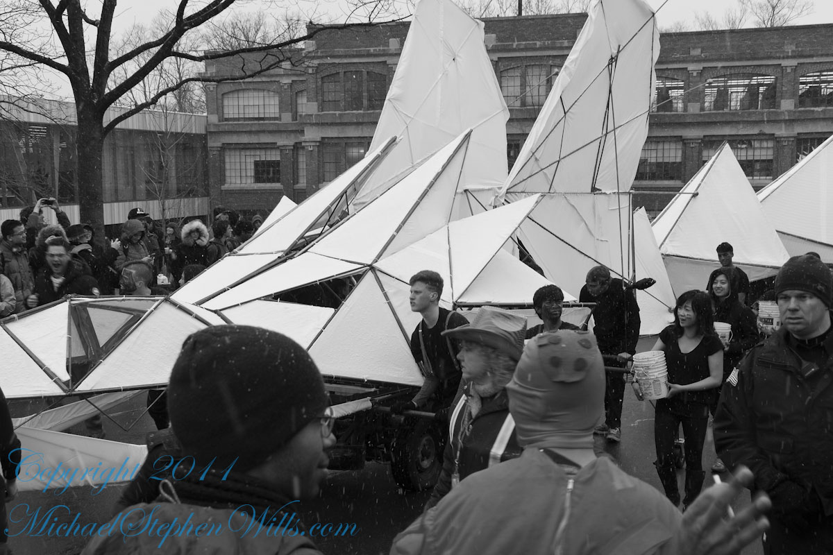
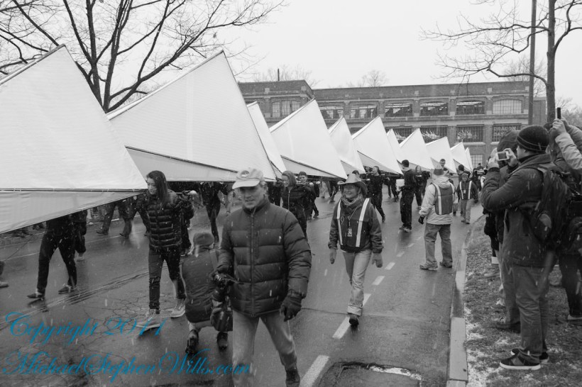
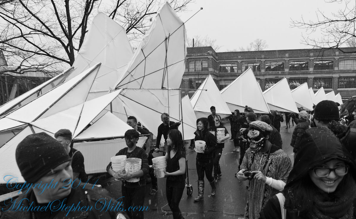
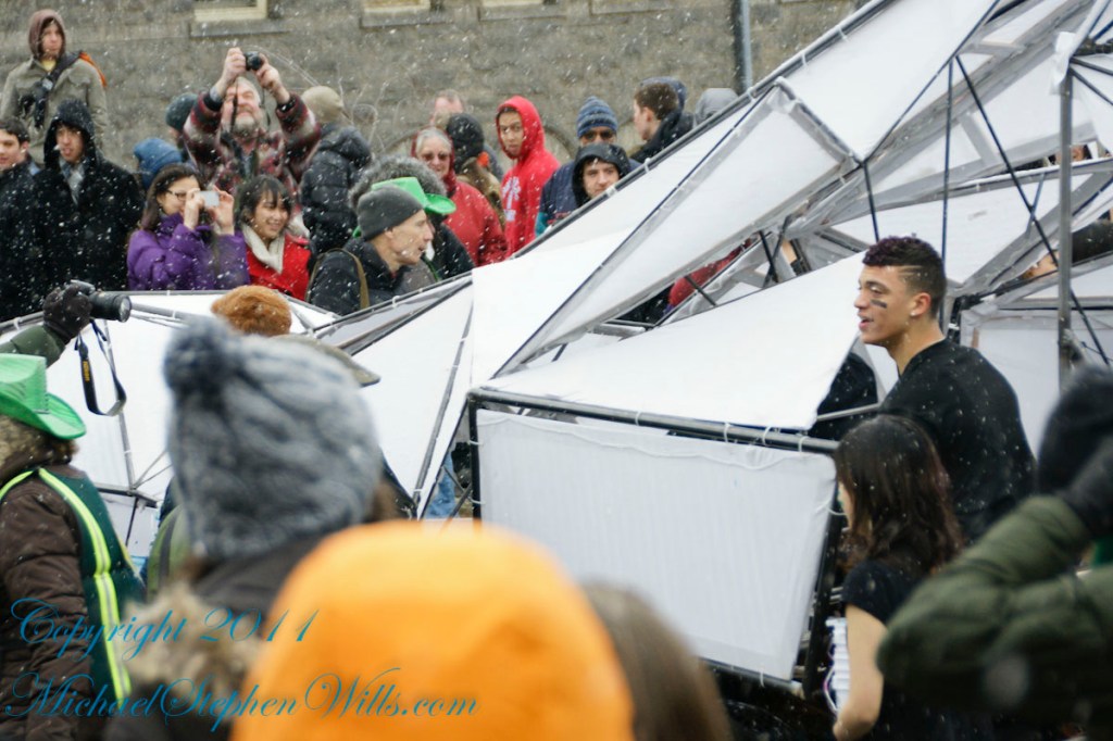
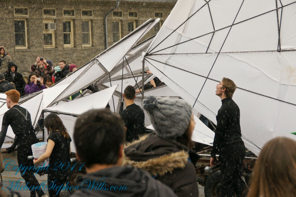
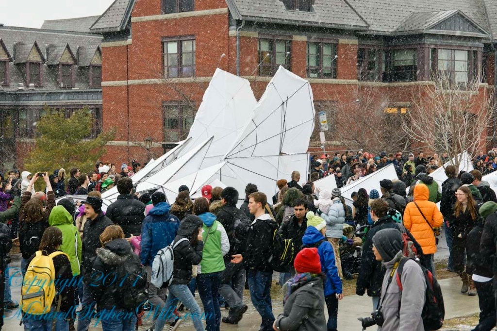
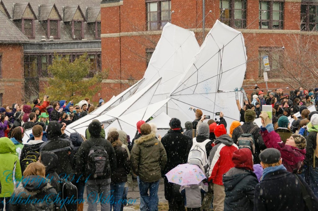
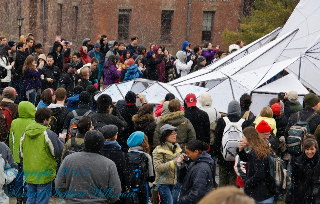
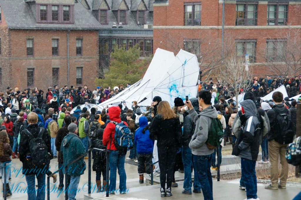
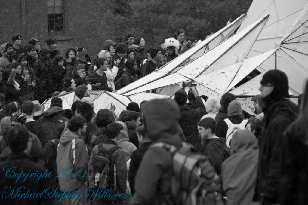
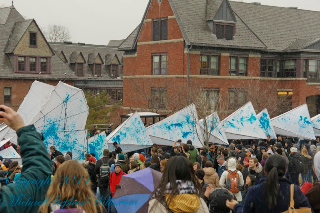
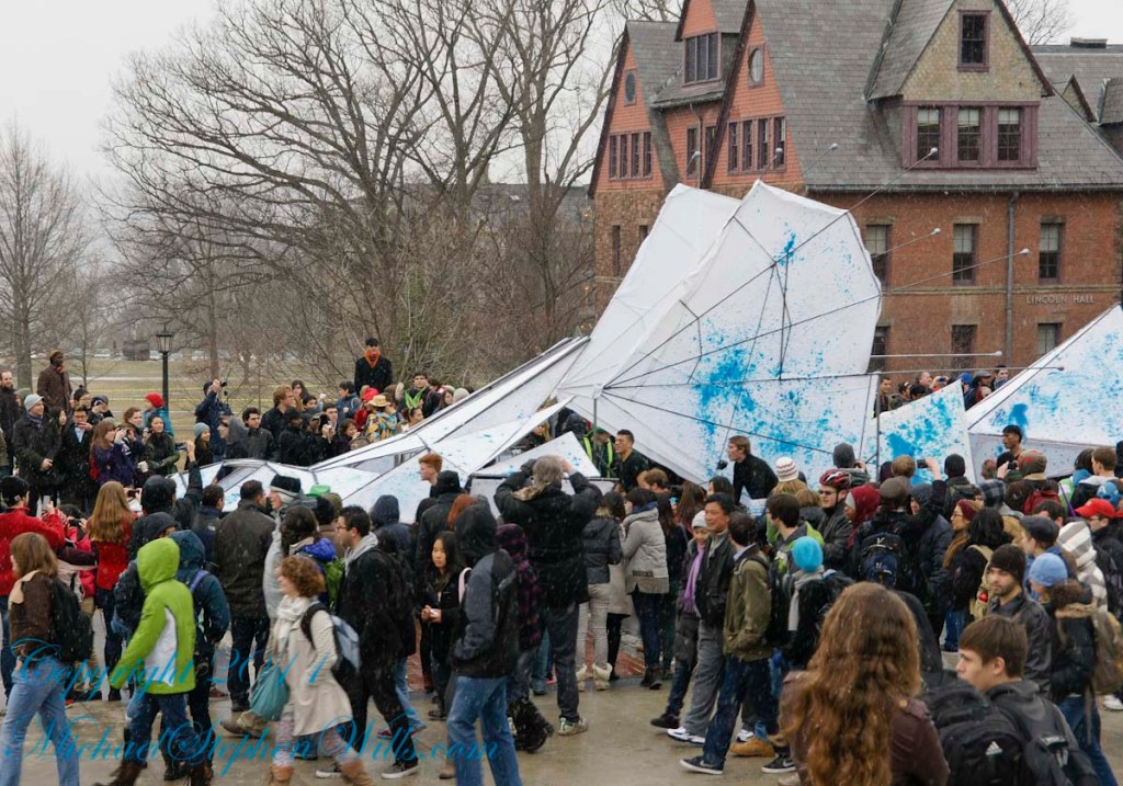
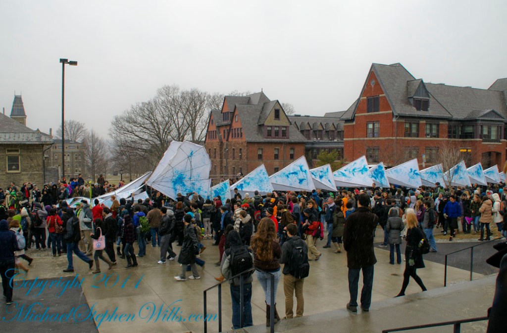
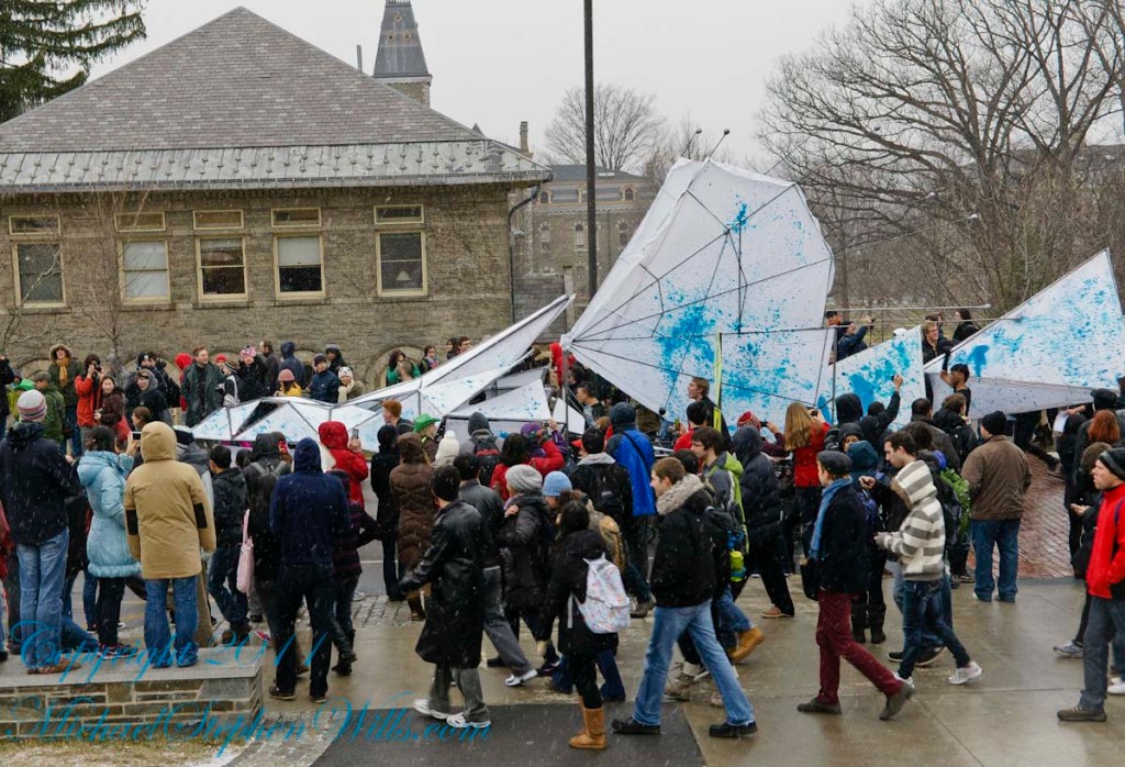
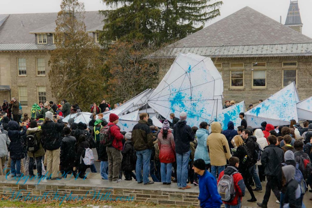
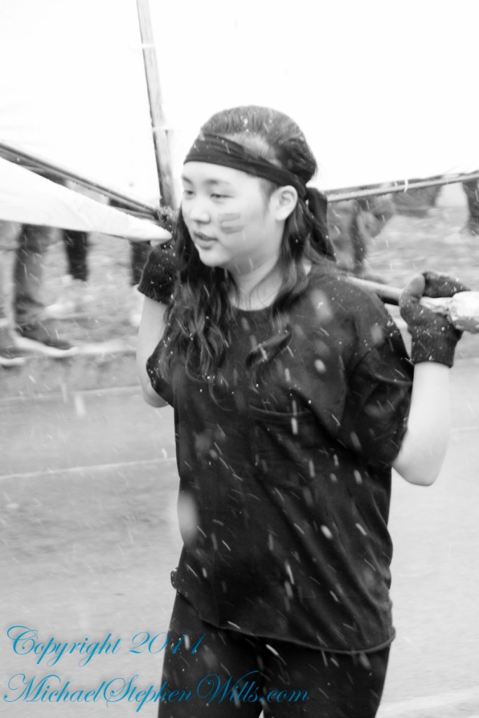
Cornell University Dragon Day 2013

Rory’s Third Birthday
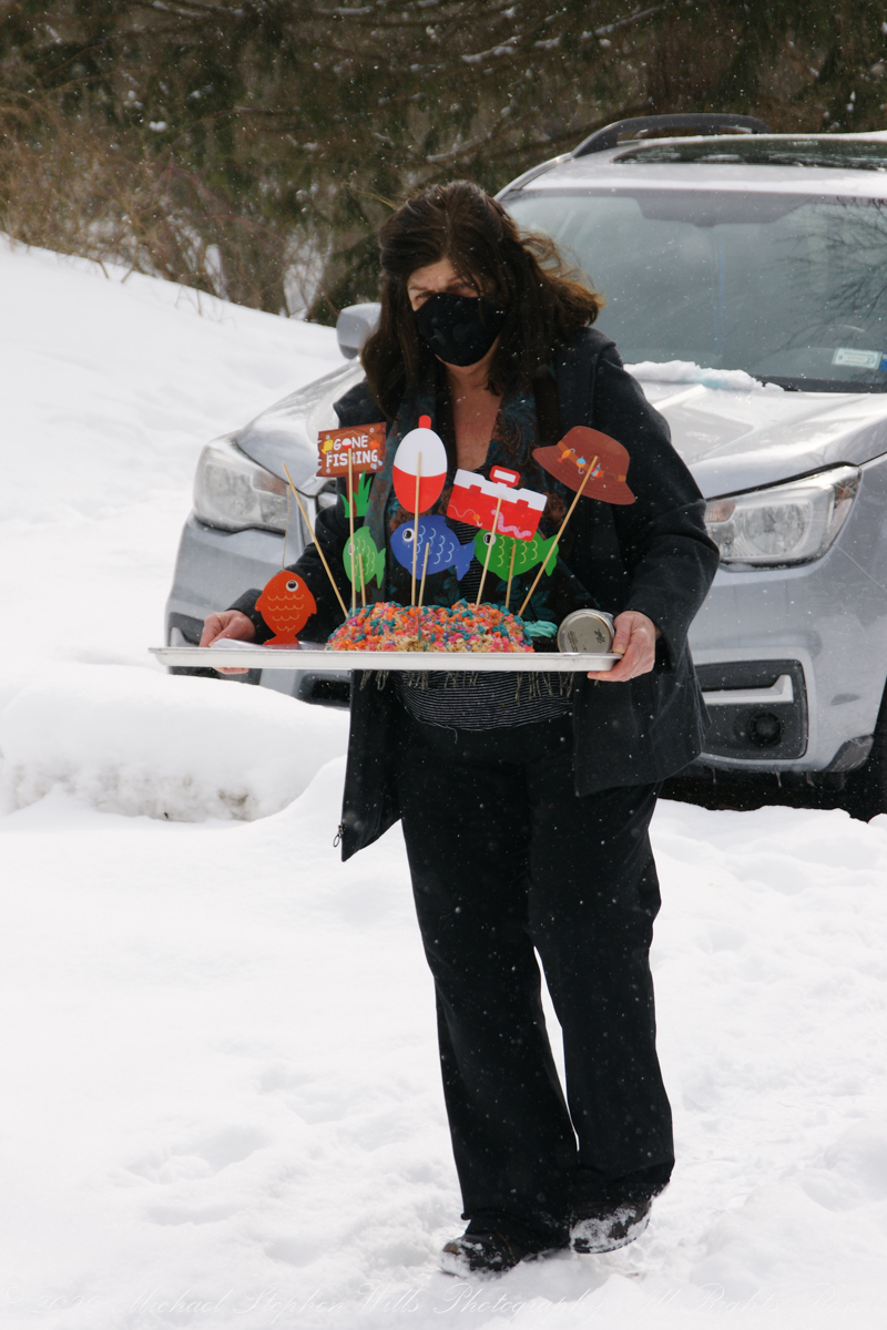
Cake design and production by Grandma for Rory’s Third 3 Birthday. On the lead up to the special day, Grandmother phones Rory to interview him for his birthday cake wishes. Rice Krispy treats drizzled with melted colored chocolate to resemble a coral reef. Chocolate cupcakes with homemade buttercream icing.


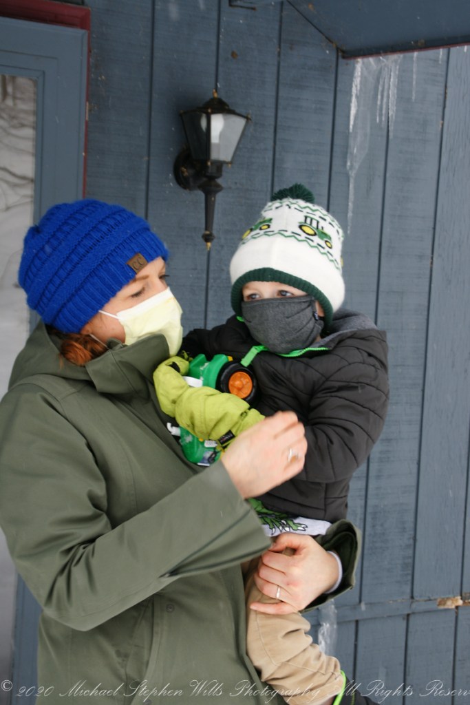
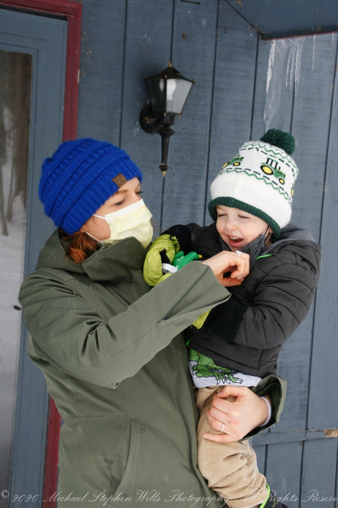
This was three years ago at the start of Covid-19 pandemic. We drove up his long, snowy drive way……
Rory, Mom and brother Sam welcomed us.

Pam had Swedish fish and other fixings for Rory to put on the finishing touches.

Happy April First “this post is no joke”
About 700 years ago, when the expansion of the Mongol empire was under way, on the other side of the planet people discovered a series of caves, formed in tuff, with a favorable location in a south facing cliff near water. Tuff, a rock formed from volcanic ash, is hard, brittle and soluble in water. From these properties this series of caves formed. The southern exposure provided excellent climate control for people, like those we now call the Salado, who understood how to exploit the location.
They constructed from local materials (mud, plants and rock) rooms in the upper cave just far enough inside to be warmed by the winter sun and protected during the summer when the sun’s sky-path was higher. Who knows how long the Salado lived in what must have been this paradise or why they left.
In March 2006, after returning from a nine-day backpack trip to the remote eastern Superstition Wilderness I used a four-wheel vehicle to reach the Roger’s Trough trailhead for a day trip to this site in Roger’s Canyon. The advantage of Roger’s Trough is the high elevation that leaves “just” about 1,100 feet of climbing (2,200 total) for the day. As it happens, it is downhill to the ruins though there is plenty of ups and downs plus scrambling over rocks.
I started late morning and a returning party met me on the way out and warned against leaving packs unattended. It seems they were victimized by pack rats. My timing was lucky and I had the site to myself.
First (refer to the “Roger Canyon” photograph, above) I climbed the cliff opposite from the ruins to set up a tripod an telephoto lens to shoot through the trees to capture the main building inside that very interesting looking tuff (see below). That central column (to the right) divides the cave opening and there are views from inside, up and across the canyon. In season, the cliffs are occupied by nesting birds and, higher up, there are fascinating caves in locations too high and steep to reach without the proper equipment.
As it is, climbing into the upper cave requires an exposed rock scramble. By “exposed” I mean the climber is exposed to falling. That is an intact wooden lintel of the visible structure opening and the larger structure, to the right, has curved walls.
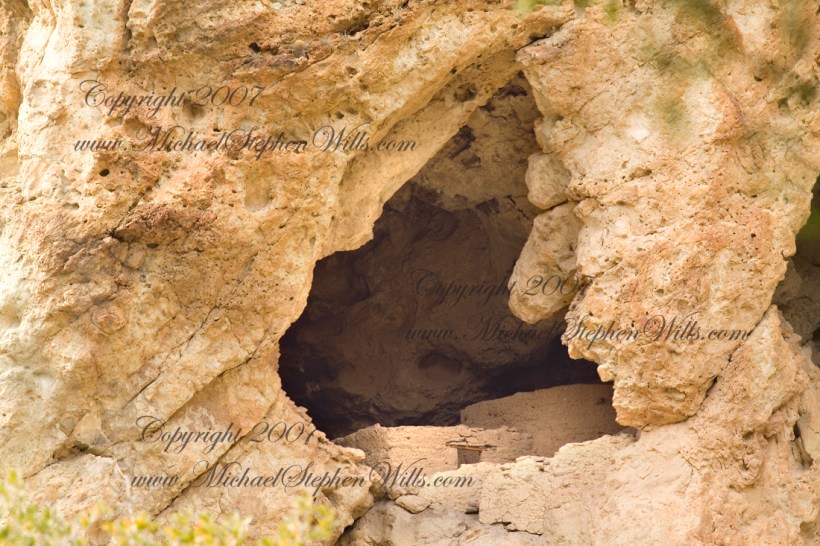
I then explored in and around the site. The location of a lower cave made it useful for storage, it was walled off and the sturdy structure still stands today. By the way, I inverted this view for artistic purposes.
A lower cave is opened and accessible. Looking out, I felt the original inhabitants were with me and then a raven started calling over and over and over.

I was so fascinated by the possibilities of the site that time got away from me until this incessant cawing of a raven made me notice the lengthening cliff shadows. Here is a view (see below) of my way home, back up Rogers Canyon. My last shot before packing up. It took just over two hours to get out, at a steady pace. It was twilight as I approached the Rogers Trough trail head.
By the way, my posting before this one (“Finding Circlestone”) includes a shot of White Mountain. In that view, these ruins are on the other side of White Mountain.


Ancient Ruins
I first learned about Circlestone from stories The Searcher told during my first backpack into the eastern Superstition Mountains, on the Tule trail, April 2005. I described this in “Riding from Pine Creek to the Reavis Valley” where the Searcher described a stone circle, overgrown with Alligator Juniper, on the slopes of Mound Mountain. He pointed south toward a peak and foothills that rose from the valley floor and said, “follow the fire trail east from the southern Reavis Ranch valley.” There were strange happenings associated with Circlestone (as he called it) and he’d never taken the time to go there. “There is a book full of stories.” I eventually sought out Circlestone on the web and in books, but after I found it on my own using only the Searcher’s directions and advice from friends met on the way.
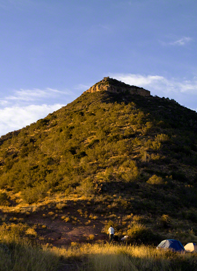
In 2006 I explored Circlestone twice along with my sister, Diane, who accompanied me. First for nine days early March 2006 using the Reavis Ranch trail from the north and the second for five days in November 2006, coming us the same trail from the south. Our first trip was Diane’s first “real” backpack adventure and we took it slow with a camp at Castle Dome where there are flat areas and exceptional views. Above, is the sunset from our second night (I camped the first night next to the car…we took it very, very sloooowwww).
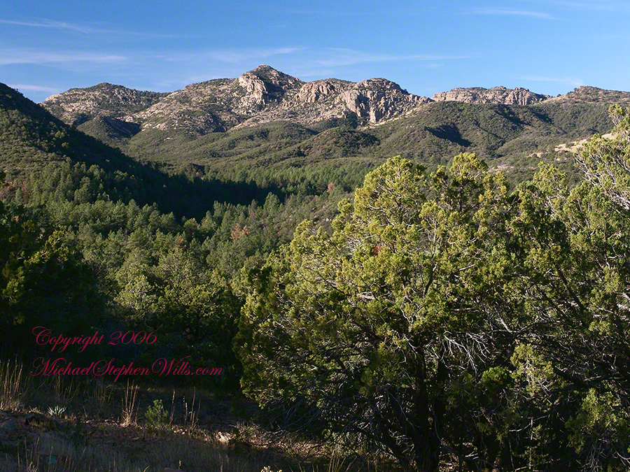
Then, there was morning of our third day. Here is the Four Peaks Wilderness in the first rays of dawn. These are green, rolling foothills of grass, low shrubs and a few juniper. If you know where to look, there’s an unmarked trail to Reavis Falls (the highest waterfall in Arizona). I found the trail and visited the falls on a later trip.
After enjoying the Four Peaks, you turn around and see Castle Dome in the morning light, as in this photograph. Remember the same of the “dome”, because it is visible from the ultimate view from Circlestone.
Our camp was in the Reavis Valley, one of the first sites along the creek coming from the north. There were fantastic rock formations across the creek. Not far from there, the land falls away into steepness and then Reavis Falls. The Searcher told me about going that way, once. There is no trail down to the falls overlook and deep canyon carved by the water.
This photograph, above, is from a lovely forest of pinyon trees that grow along the trail to Circlestone (described by the Searcher as rising from the southern Reavis Valley). You can see the valley, just to the right, and a longer and steeper valley that rises from it up to White Mountain. That way is the southern legs of Reavis Trail. I have a movie clip from this same spot of the pinyons moving in the breeze and may post it at a later time.
All of the trail to Circlestone is a climb. You pass over “Whiskey Spring”, named for a still kept there in the 1800’s and over a steep defile gouged from the rock. The trail is well marked and I am told that, sometimes, there is no cairn marking the trail to Circlestone. If you are desperate to get there, look-up some excellent hiking directions available on the web. I have even found the circle on GoogleEarth, since I know where to look. If you like a challenge and the adventure, go from the directions the Searcher gave me.

From the fire line trail, the unmarked branch to Circlestone climbs steeply and follows a ridge through Alligator juniper, punctuated by stalks of century plant, to a broad way that rises to Circlestone as though to a monument overgrown by the same juniper.
There was an unusual experience on our first trip, on this portion of the trail. We were winding through the Juniper and, as it happened, Diane fell behind. After awhile I missed her and waited and, after a minute, went back to look for her. I found Diane sobbing uncontrollably, deep in grief over our father who passed away eleven years before. We talked about it until she felt better. She said it was as though a door opened and she could feel out father. What makes this exceptional is Diane is not given to anything like this and I ascribe her deep grief to the nature of the site. It is a mystery to this day.
At Circlestone, that first trip, we explored and experienced the site. You cannot see the entire wall at any point and need to wander through and over it, being careful not to disturb anything. Here and there, in the outer wall, are openings like the one in this photograph.
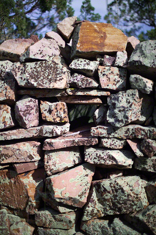
I call it a site hole because, on your knees, it is possible to look through and see the distant view through the trees. As you can see, the stones are a striking red color with green lichen growing thick.
On the second trip in November, knowing the way and having great weather, I brought my cameras to capture the exceptional views, one of which is above. I’d dearly love to come back to camp just below the ruin and do some work in the evening and morning light. For now, I can enjoy those views from Castle Dome.
Can you see the dome in the middle distance. I did a portrait of three horsemen who road up to Circlestone in November. We came to know them pretty well, that afternoon and the following morning down in the valley.

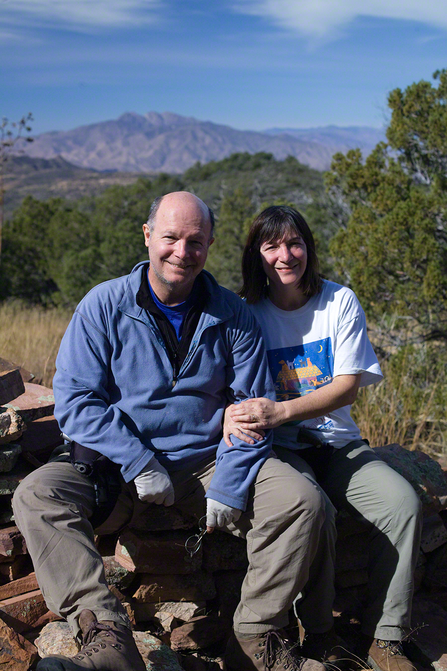
I carted up a tripod, so you can see Diane and I in the same spot.