Over the weekend the handle of our 60 year old Delta brand kitchen faucet broke off, since we moved here I rebuilt it once and replaced the stainless steel sphere, the central control of the mechanism. The stem of the sphere must have been faulty because it snapped. Monday, I visited Lowes and the sphere was not in stock. Just wanting to fix the faucet, I skipped the usual vetting of a new product and grabbed the exact same Delta faucet which was, just like the sphere that broke, made in China. The next step up in (questionable) quality was three times the price.
Running Water
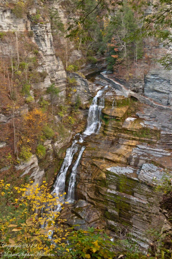
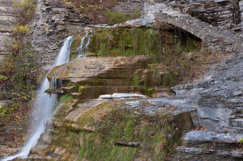
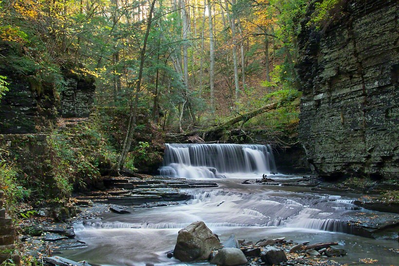
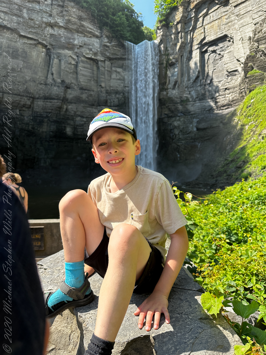
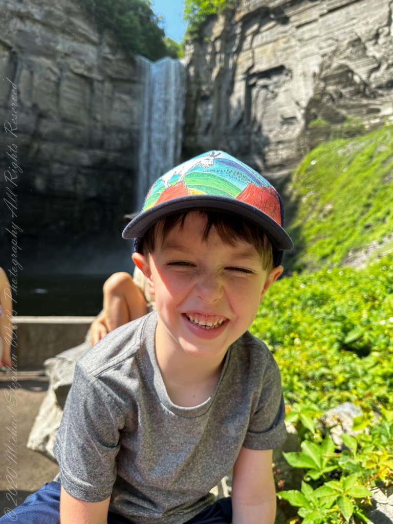
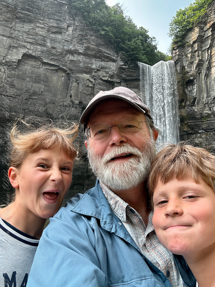
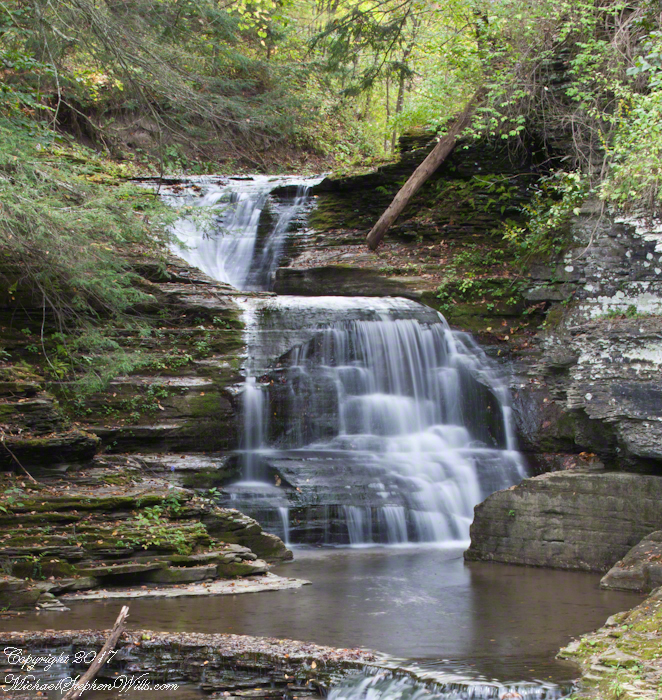
Yesterday I installed a new faucet in the kitchen sink, a straightforward and unpleasant task that took most of the day. Late afternoon, while resting up, I brought up the idea of a hike and Pam reminded me we had another clear September day. Last week, I headed out to capture the Mill Creek waterfall of upper Treman Park at the perfect time of day. It was a day such as this, warm, a cloudless sky, minimal breeze.
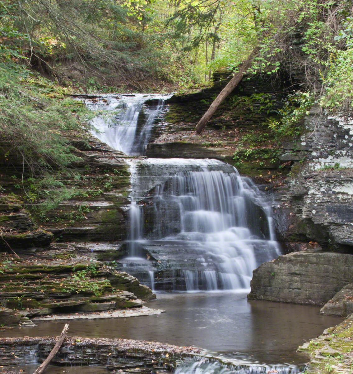
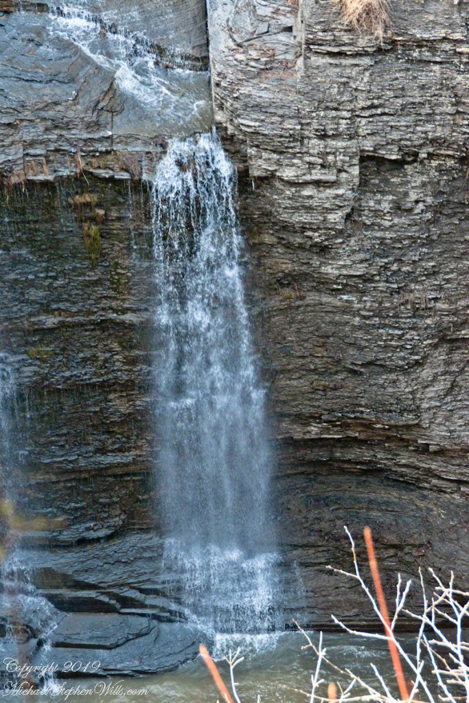
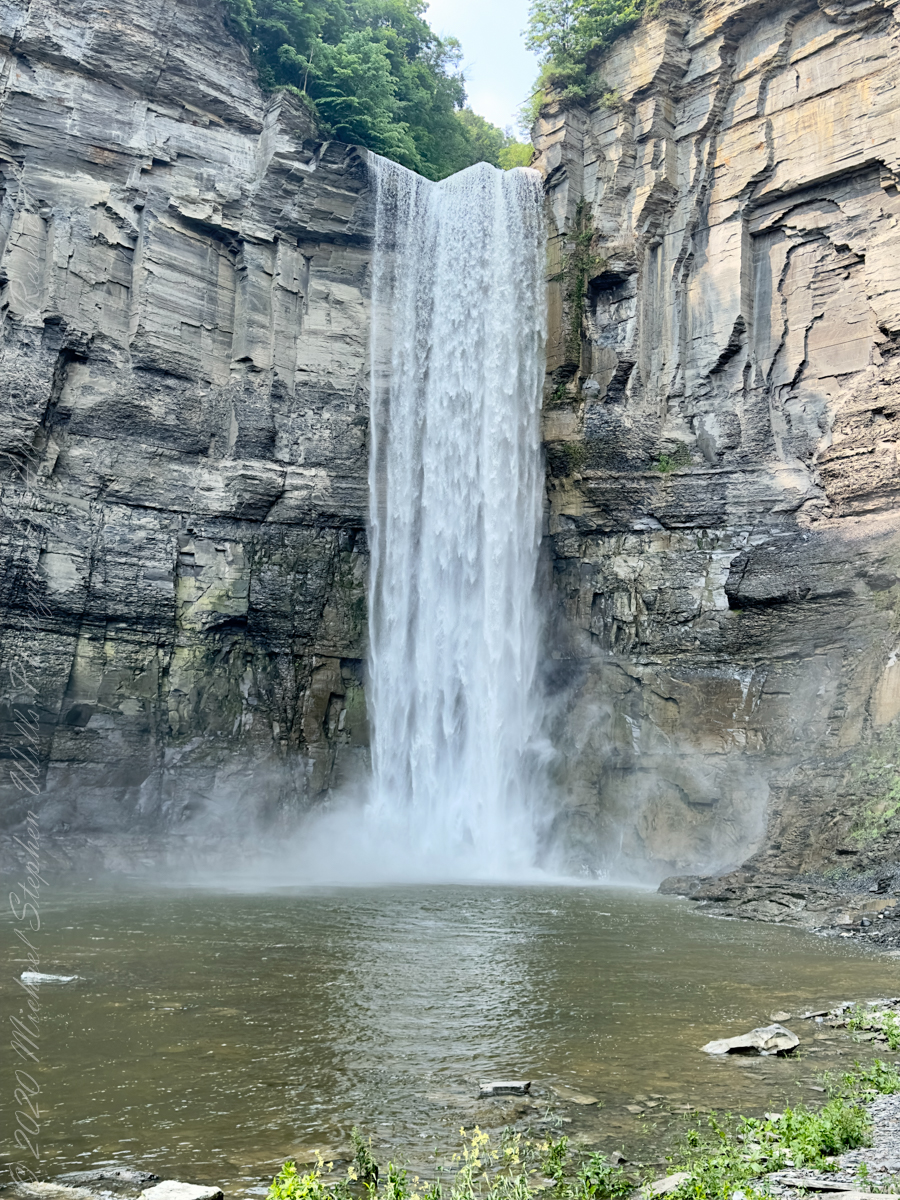
I need to get in place a bit earlier. Previously, I used a 24 mm wide angle lens and, today, mounted the EF 70-300mm f/4 – 5.6L USM lens on the Canon EOS 1DS MarkIII. Did not have time to sort through the ND filters, so left the UV on. The waterfall is in a glen, shaded from direct light at this time of day, sun low in the west. Given the low light, to save time, I decided to set ISO to a low value (125), set lens to the widest angle (70 mm), and frame the shot using the heavy Manfrotto tripod with ball head.
Needed to crop the image for the above result, still not perfect. I am seeking to full the entire pool in that glow.
Want more? Click the link for my Online Gallery
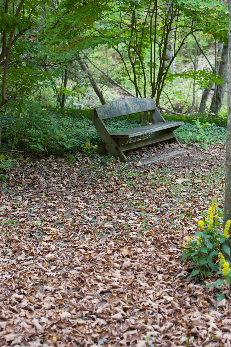
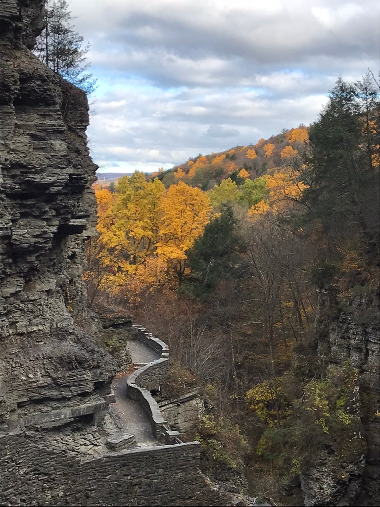
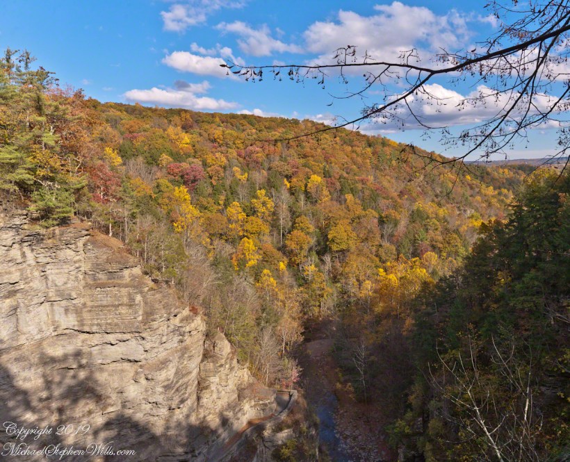
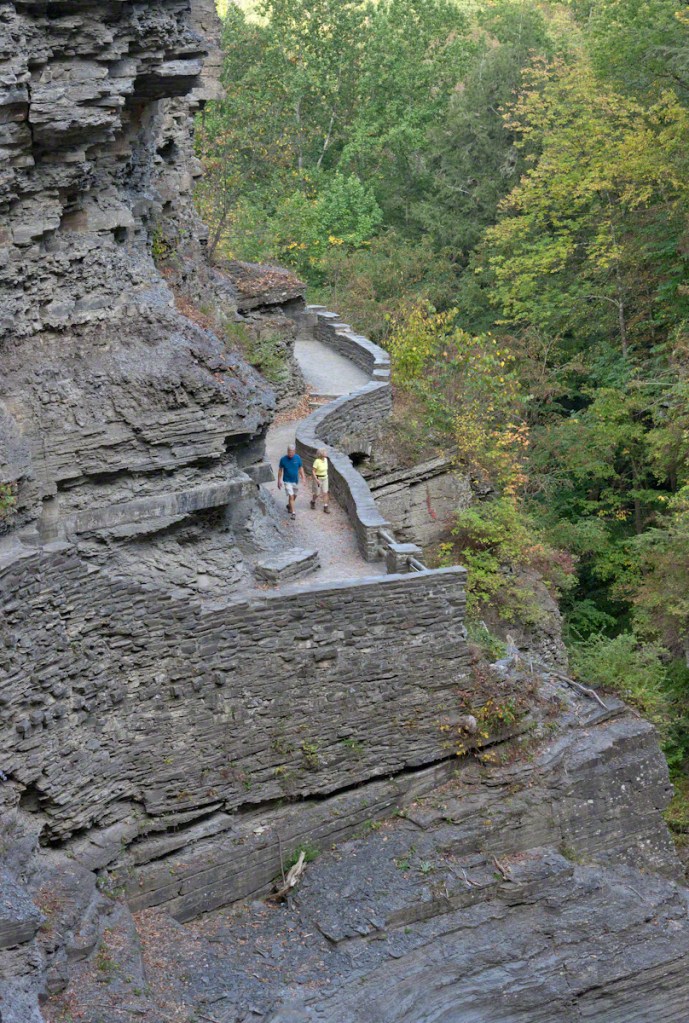
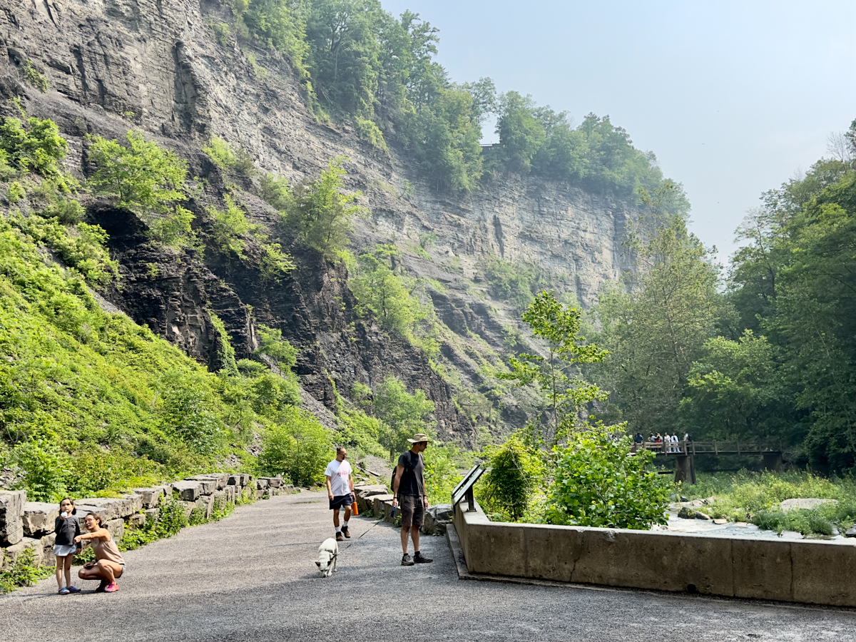
Hiking the Gorge Trail
Instead of putting the gear away, I carried that heavy setup on the hike. The strap around the neck is a lot of stress if it hangs. With the gear cradled in the crook of my arm it is bearable.
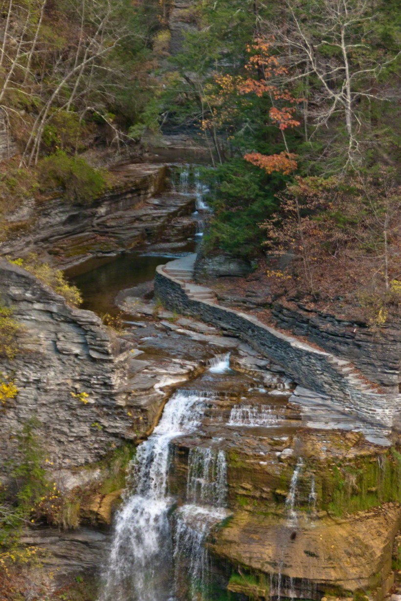
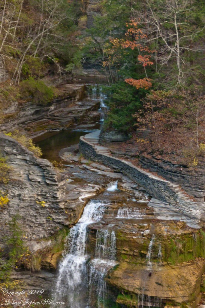
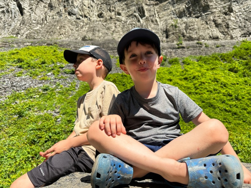
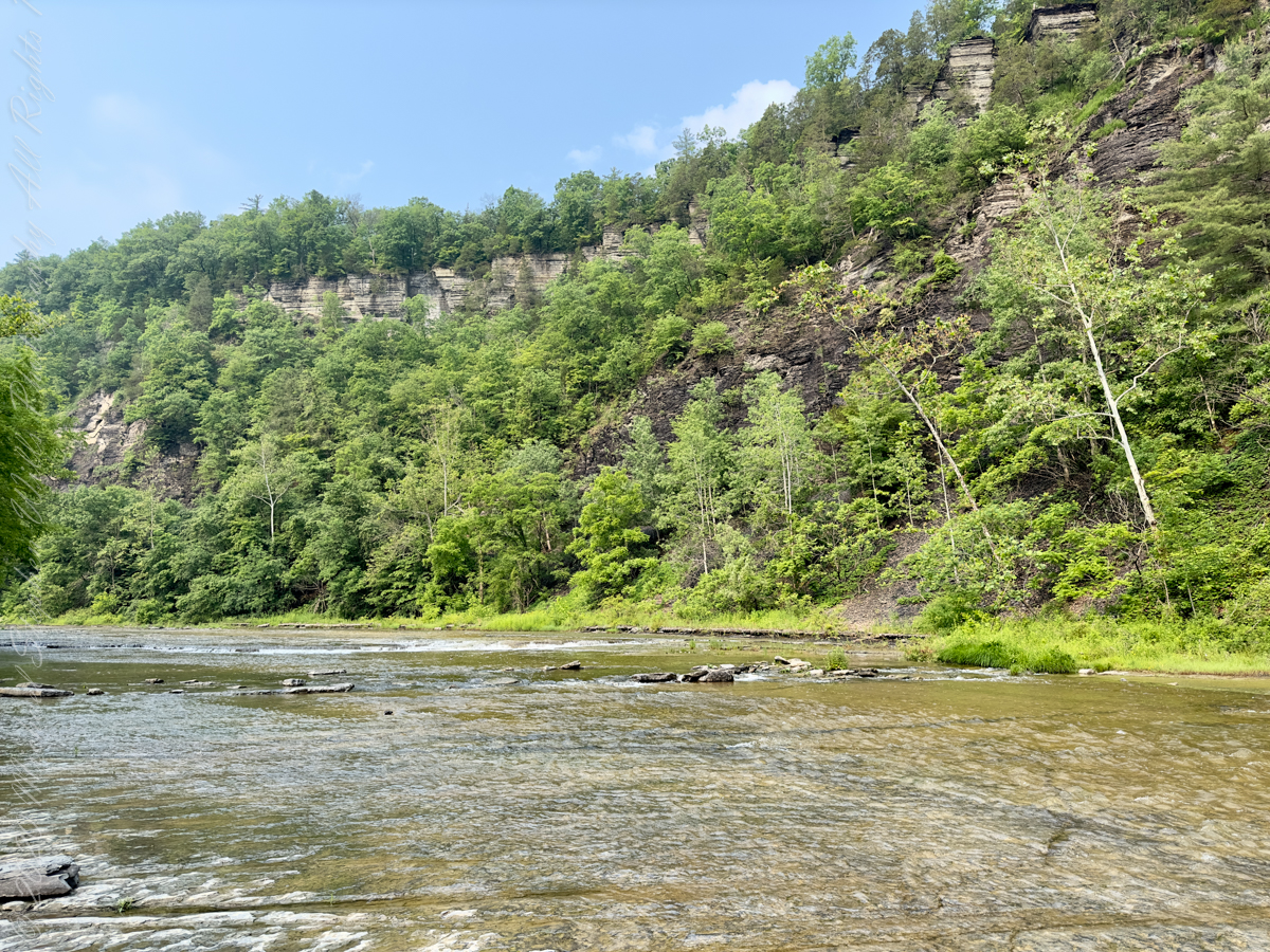
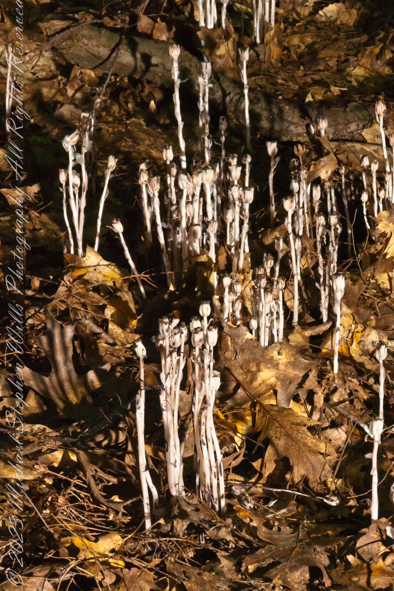
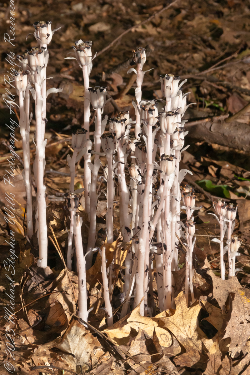
Needless to say, the pace was sedate. Pam spent most of the time walking ahead and refusing to be in any shots. These past weeks, rainfall was light, so the creek is low. This low flow is a necessary element to a perfect waterfall image.
Want more? Click the link for my Online Gallery
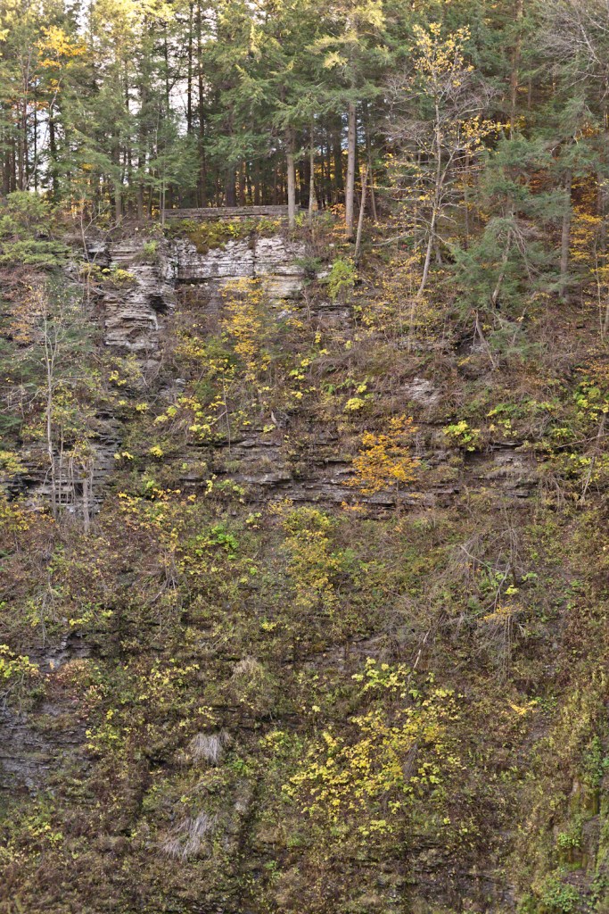
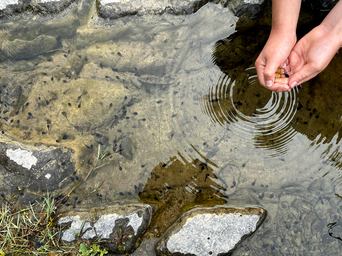
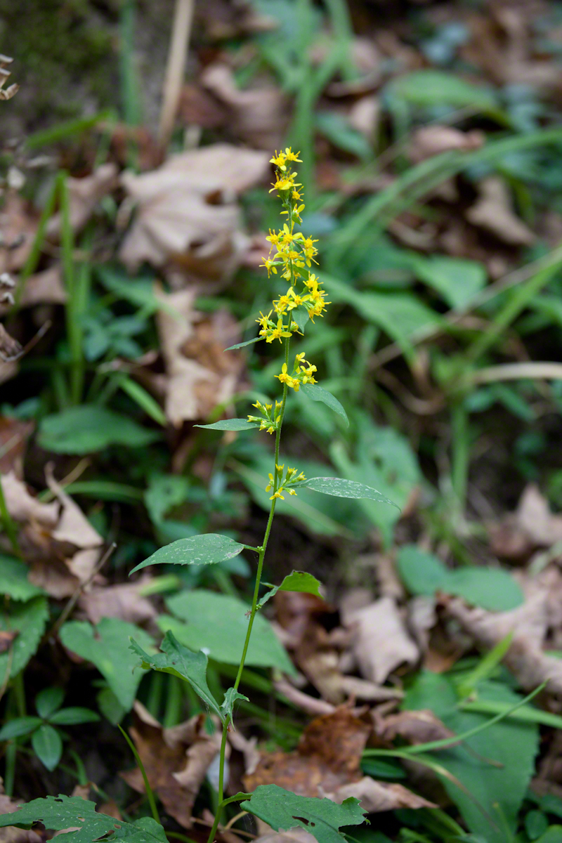
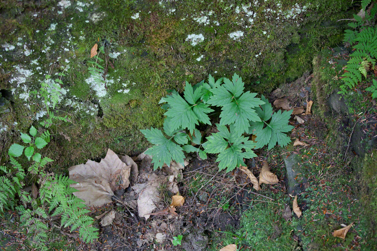
I get some great macro shots with that lens. With just the UV filter, it is quite fast.
In the Gallery
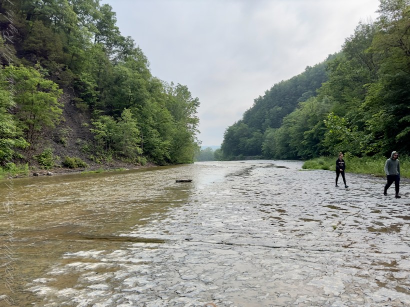
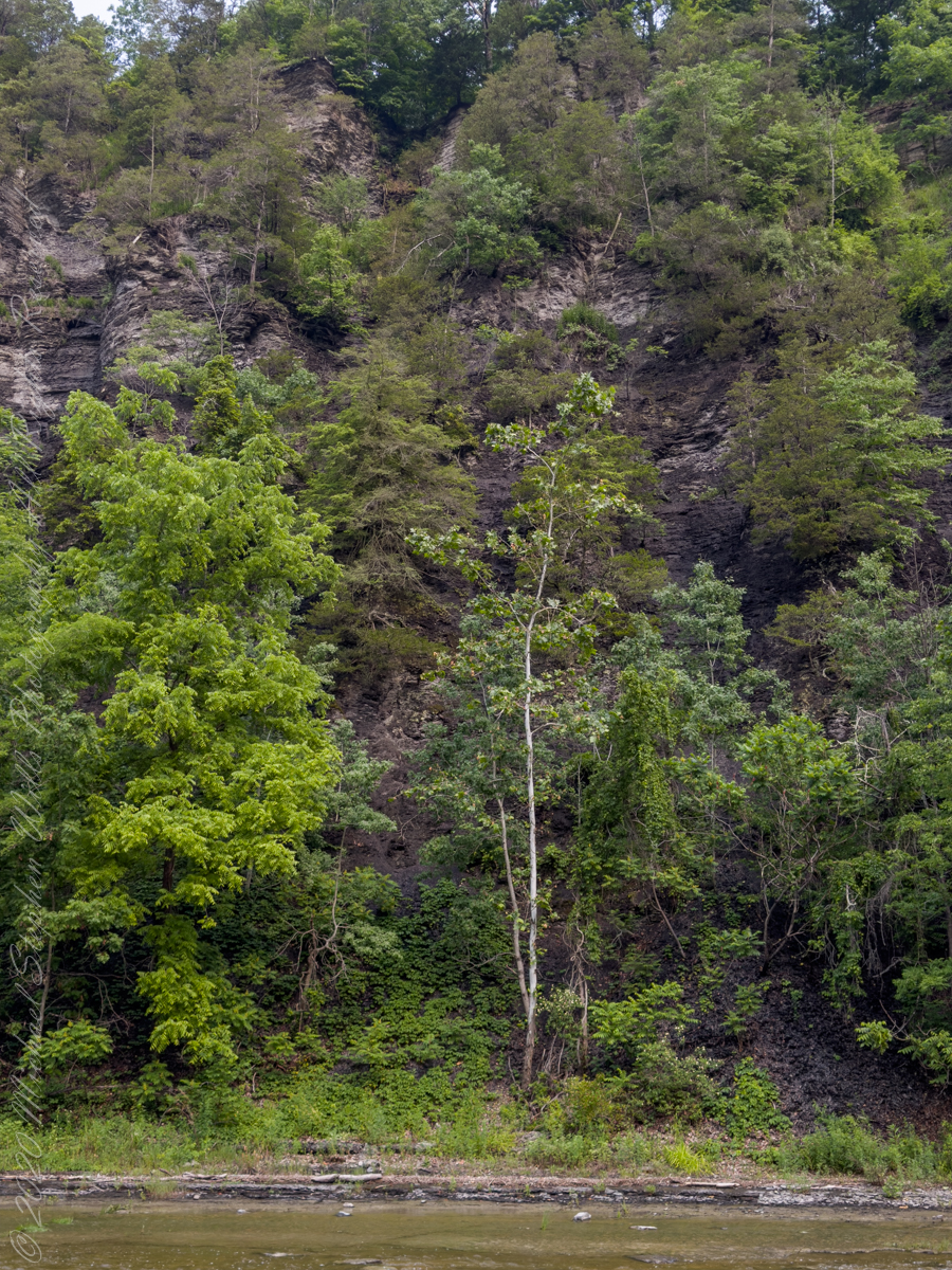
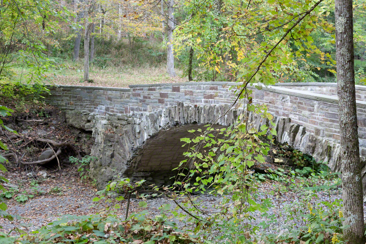
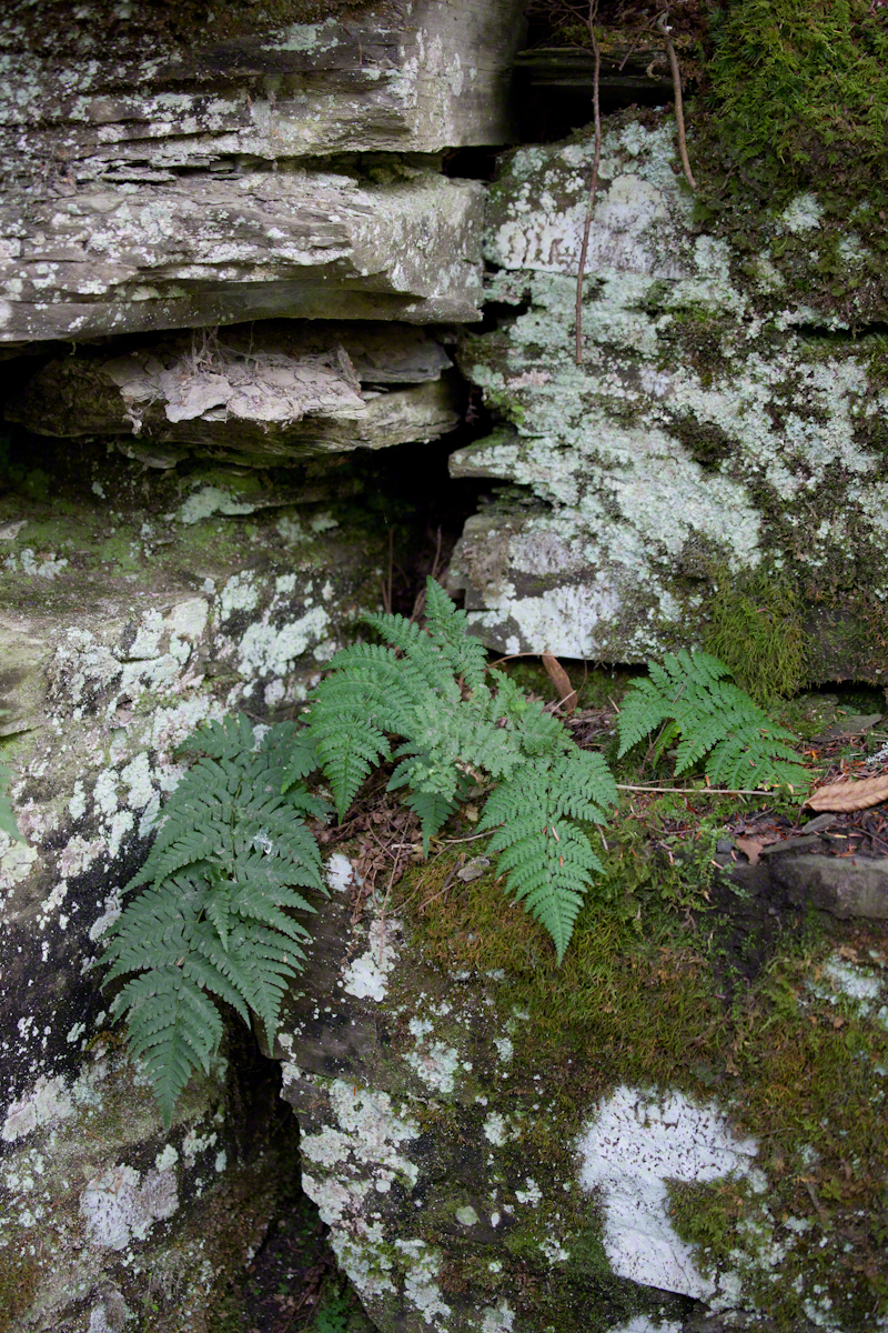
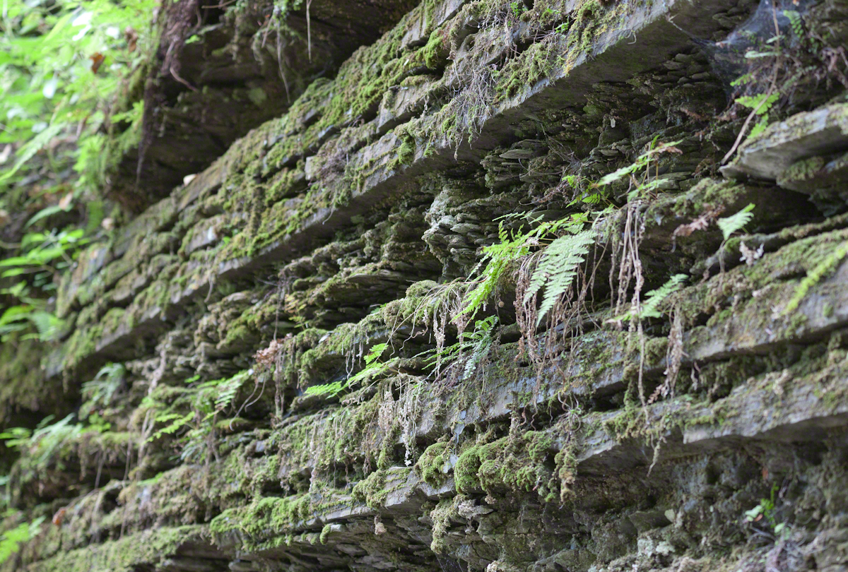
A memorable feature of upper Treman Park is the dramatic gorge entrance. When the glaciers melted, 10,000+ years ago, enough water flowed through this watercourse to wear away several hundred feed of sedimentary rock to form a gallery, or hall, with towering, crumbling, walls on either side.
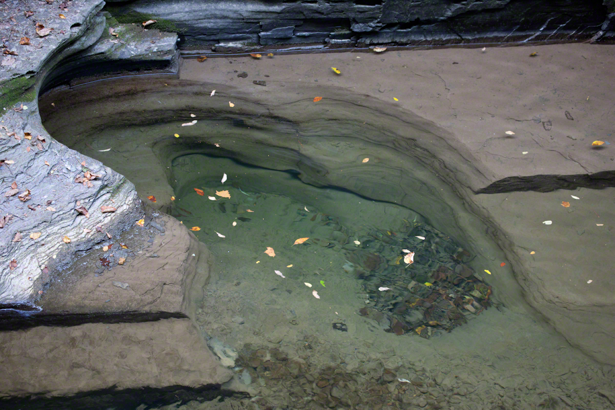
This evening the light was low, the water seemed dead in that it was clear and did not glisten or ripple. I used these conditions in the above shot to emphasize the structure this pool. Located at the foot of a waterfall, at high water, the falls fill channel and this pool is carved by river stones carried in the current. At lower water, the pool is exposed.
Want more? Click the link for my Online Gallery
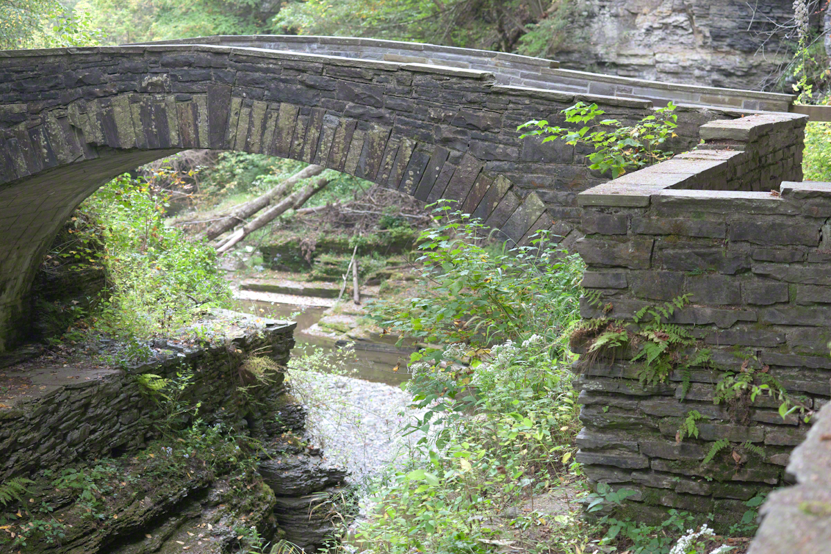
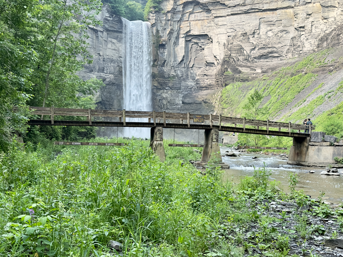
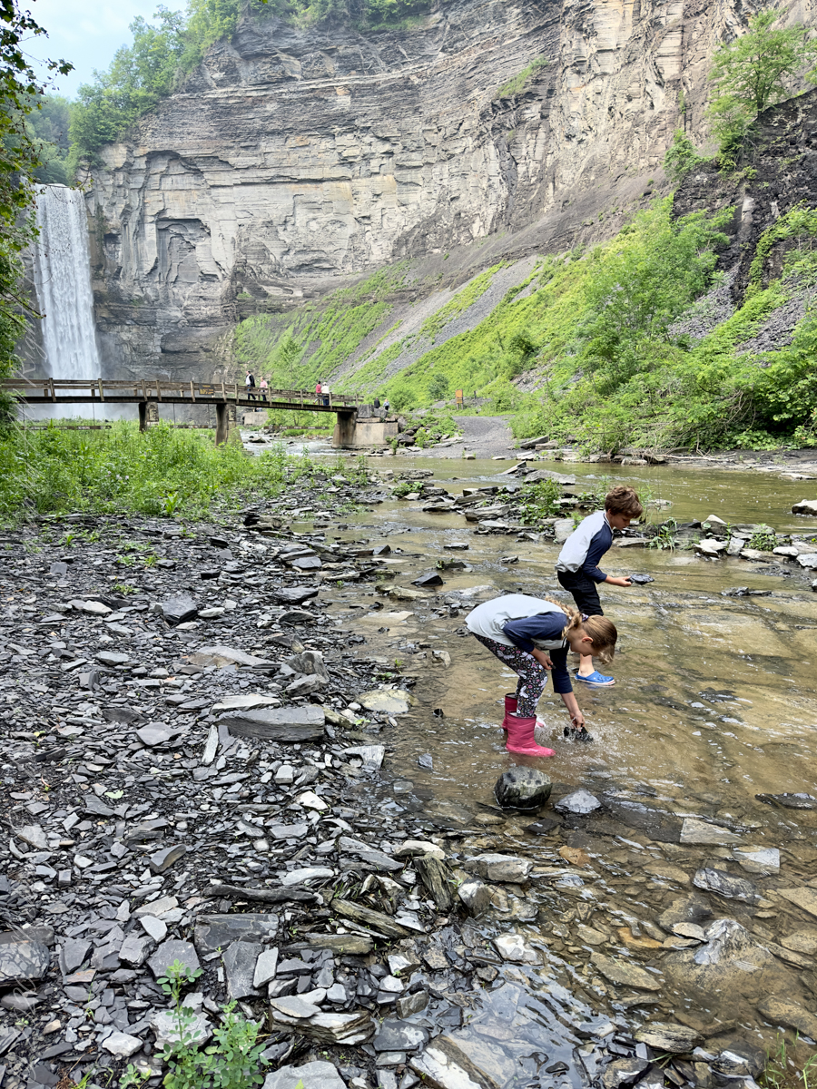
The footbridge, above, is most often photographed from the western side of a long gallery formed by the gorge carved by the creek. This is a shot that explores the fine stonework.
Continued……..