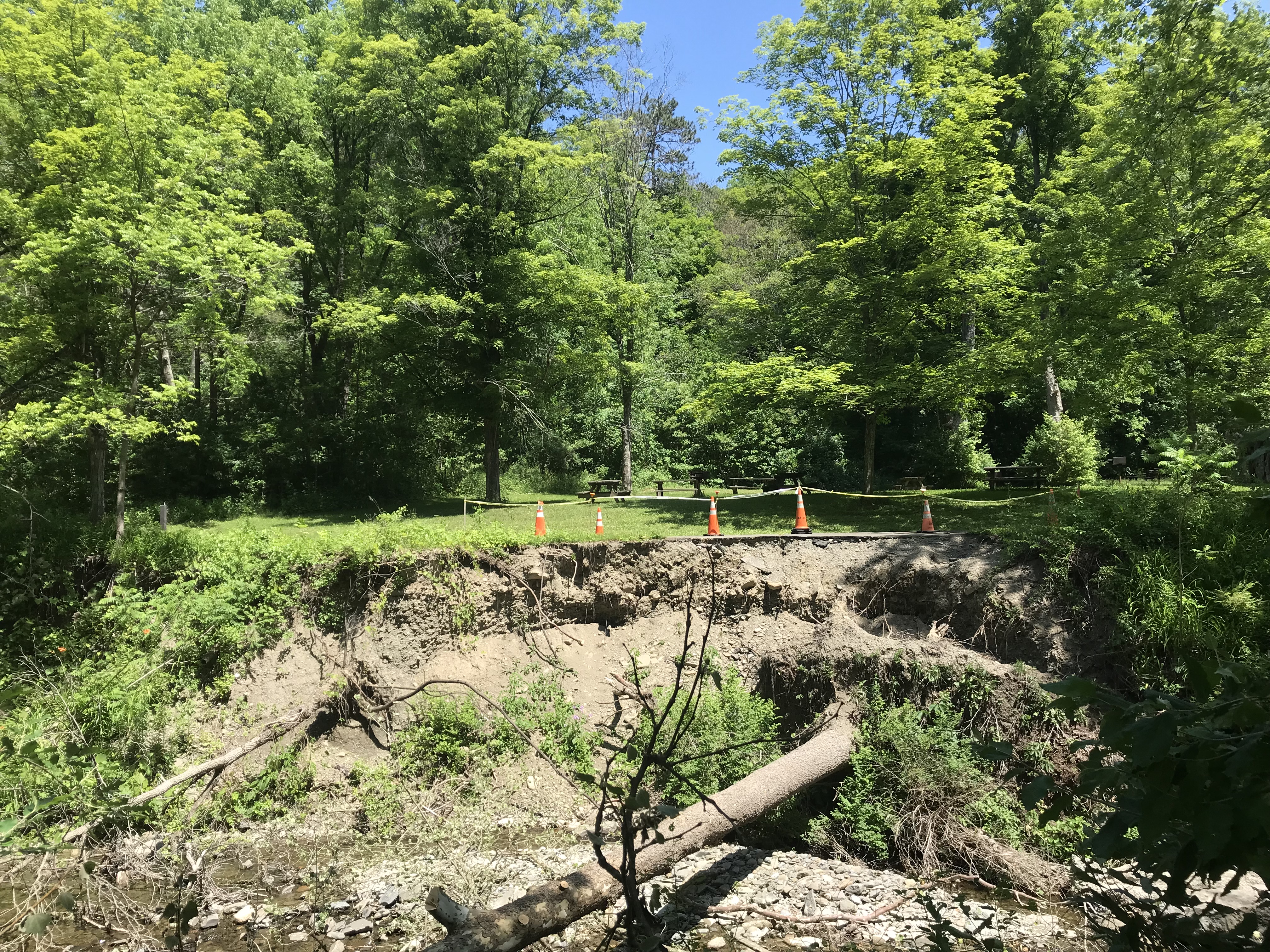
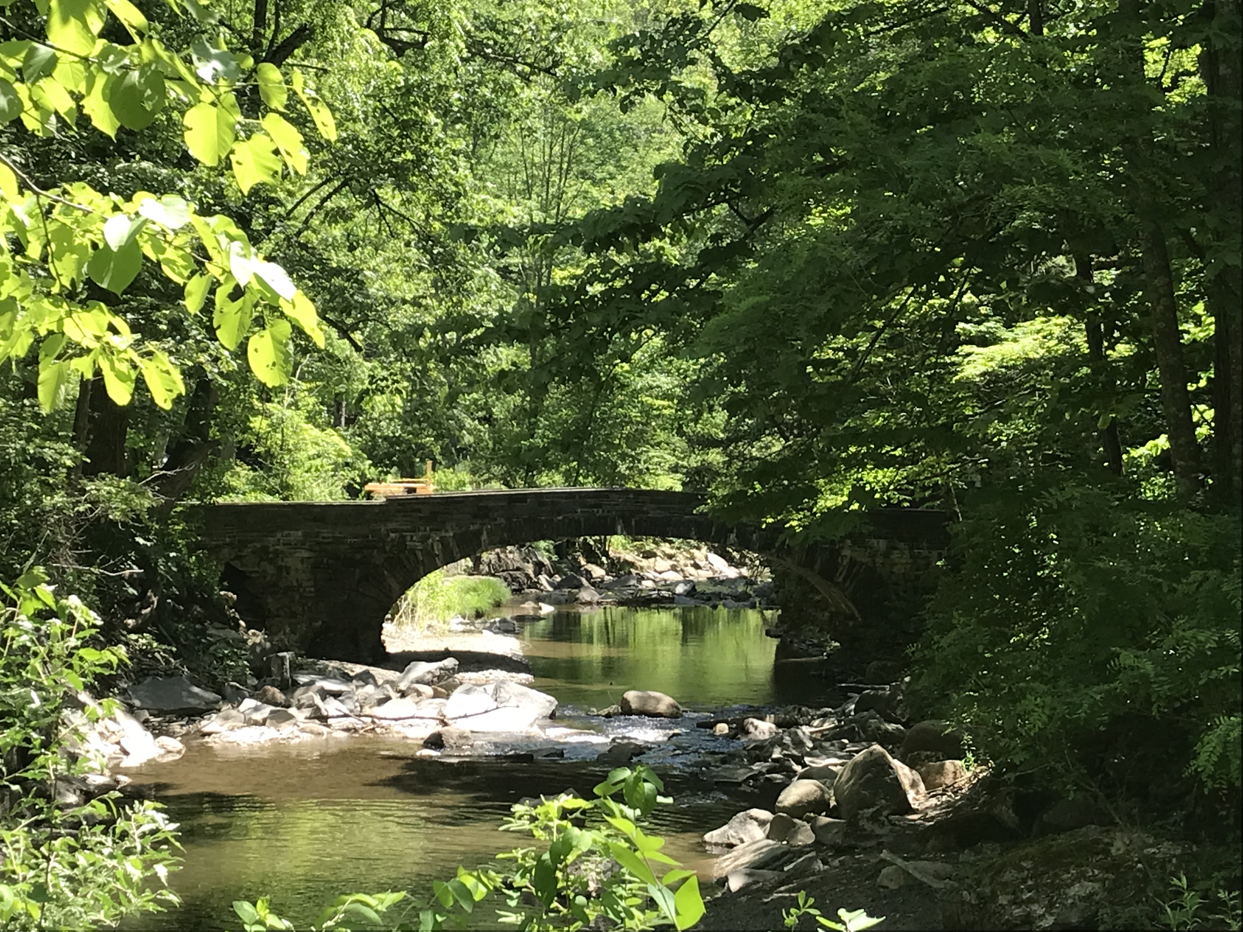
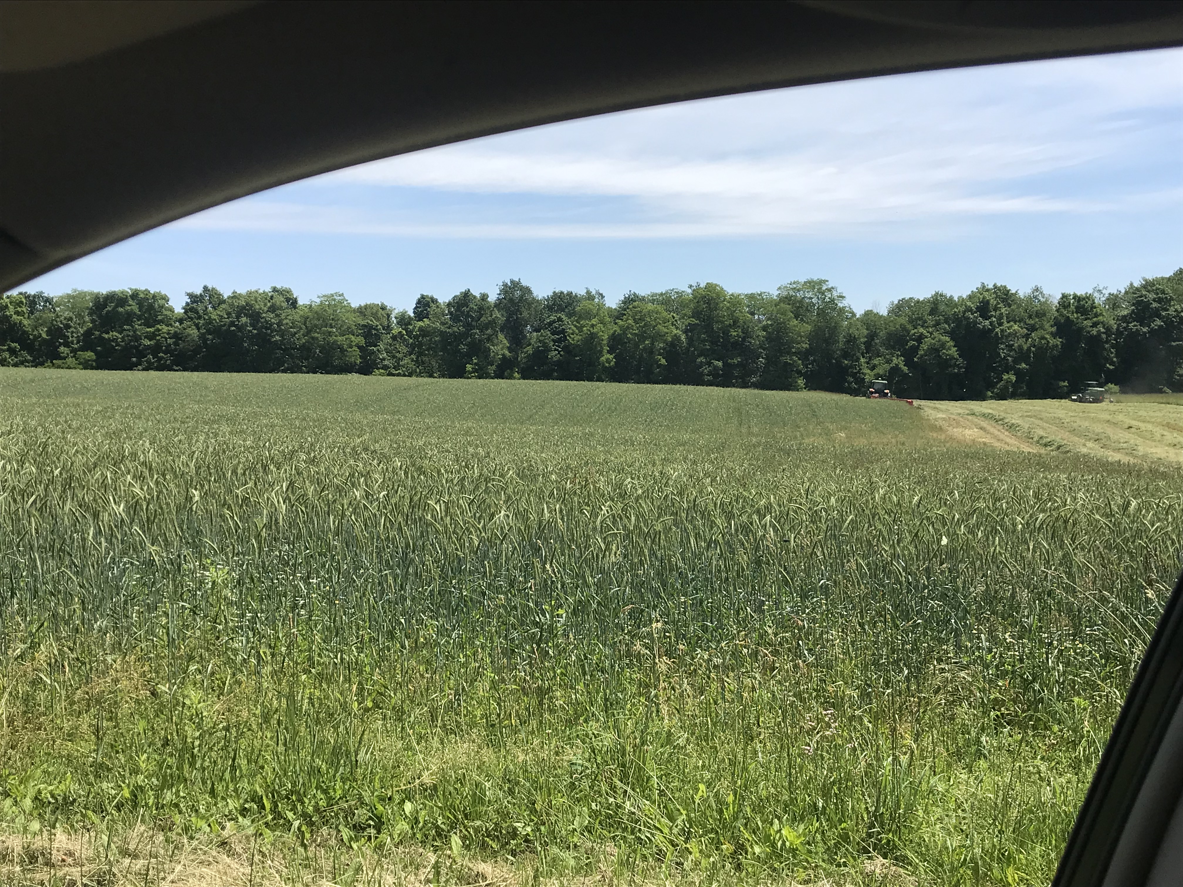
Wednesday, June 15th, we were on a turn to heat and humidity with this day of light breeze, temperature in the 70s making hiking around Tremen Park a joy.
These snapshots, taken on the fly with an IPhone 7, are the high points.
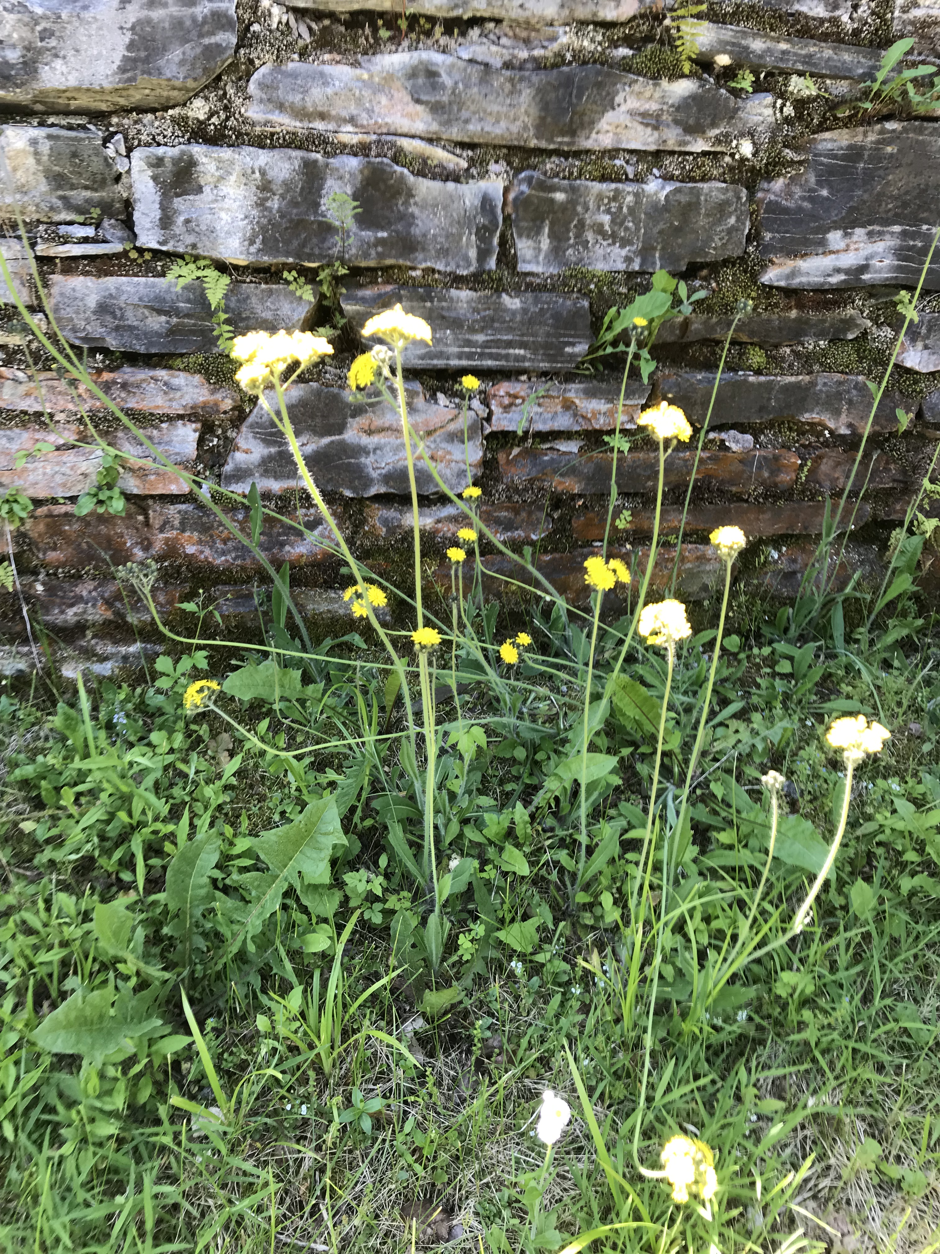
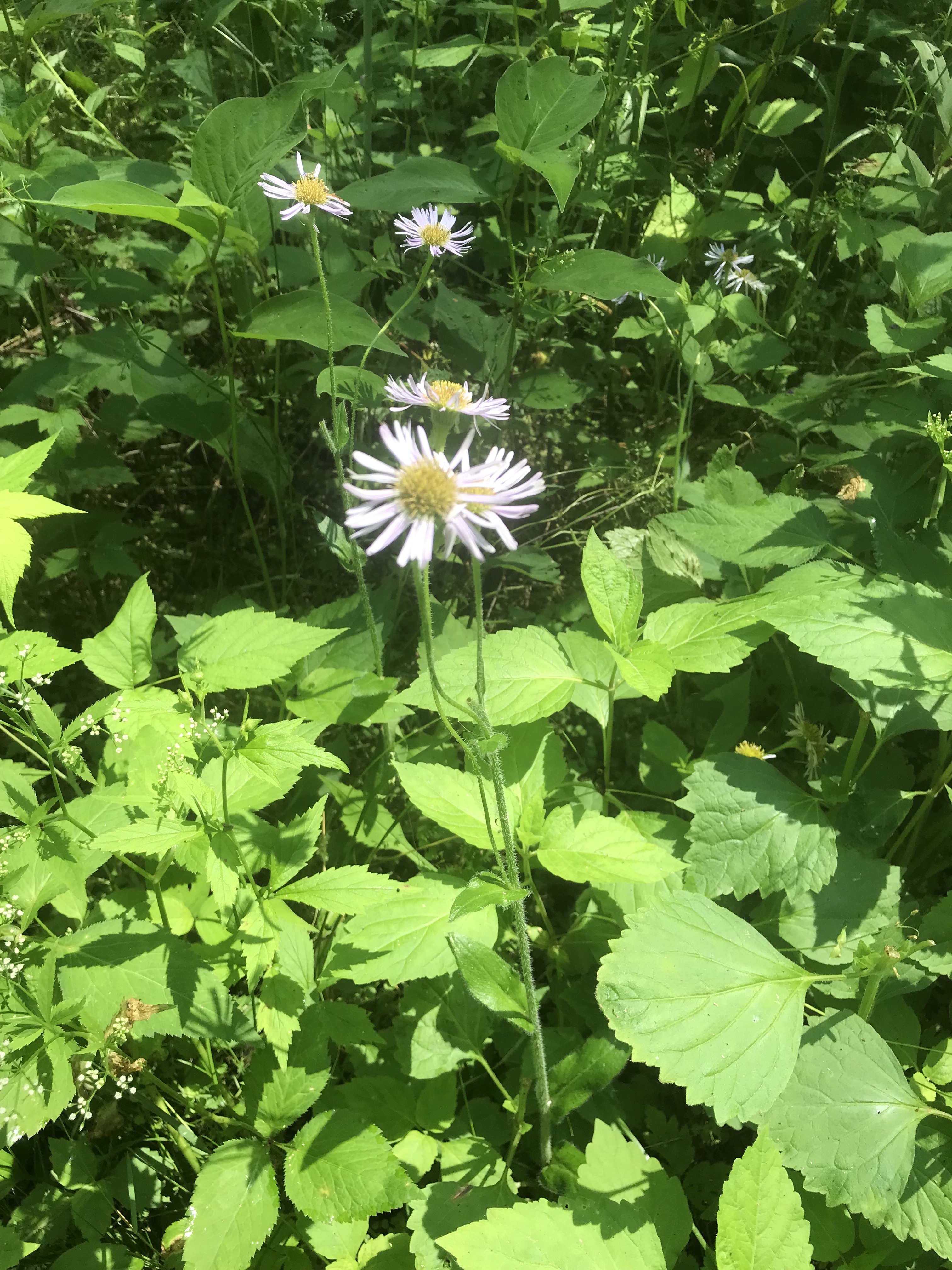
The first is a dandelion look alike with yellow flowers, petals shaped like teeth, though on a long hard stem and multiple flowers on a stalk. Known as meadow hawkweed, yellow hawkweed, field hawkweed, king devil, yellow paintbrush, devil’s paintbrush, yellow devil, yellow fox-and-cubs, and yellow king-devil with two scientific names: Pilosella caespitosa and Hieracium caespitosum.
Click photograph for a larger view. To do this from WordPress Reader, you need to first click the title of this post to open a new page.
Pilosella caespitosa
Click for slideshow.
Copyright 2022 All Rights Reserved Michael Stephen Wills
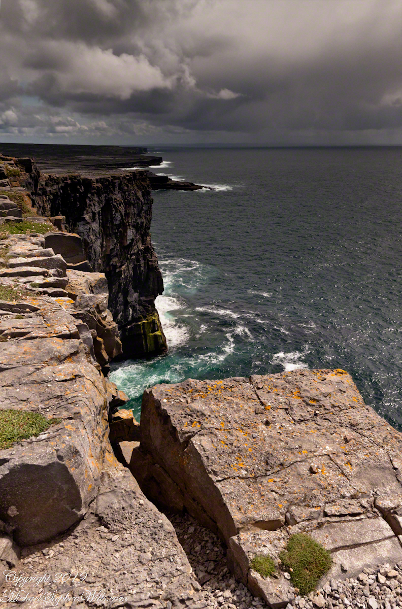
From the commanding location of Dun Aonghasa, looking northeast across Inishmore island, we can understand why the ancient builders chose this location.
We also see the transition from exposed limestone to the fields built literally from the ground up (see my post “The How of Soil”). For a closer view of island houses see my posts “Settled In” and “Cottage Road Cottage.”
From the commanding location of Dun Aonghasa, looking northeast across Inishmore island, we can understand why the ancient builders chose this location.
We also see the transition from exposed limestone to the fields built literally from the ground up (see my post “The How of Soil”). For a closer view of island houses see my posts “Settled In” and “Cottage Road Cottage.”
My previous post, “Inner Ring, at last”, lowered the horizon. Here, we study the base of the inner wall.
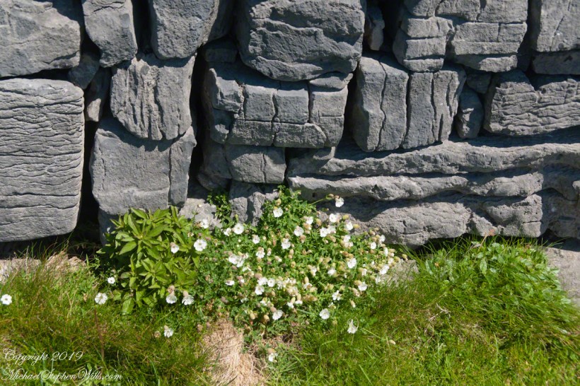
A detail of the interior wall of Dun Aonghasa (Dun Aengus) in springtime. White flowers of Sea Campion (Scientific Name: Silene uniflora) (Irish Name: Coireán mara) set against the ancient dry stone wall. Inishmore, Aran Islands, County Galway, Ireland.
We found Sea Campion throughout the west Ireland coast.
Detail of Dun Aonghasa Dry Stone Wall with White Flowers of Sea
Wishing a blessed All Saints Day (November 1st) for all my readers.
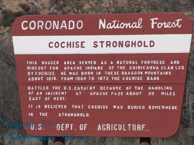
Sky islands are isolated mountains surrounded by radically different lowland environments. The term originally referred to those found near the southern borders of the U.S. states of Arizona and New Mexico with the northern borders of the Mexican States of Chihuahua and Sonora such as the Dragoon Mountains featured in this post. The isolation has significant implications for these natural habitats. The American Southwest region began warming up between ∼20,000–10,000 years before the present-day and atmospheric temperatures increased substantially, resulting in the formation of vast deserts that isolated the sky islands.
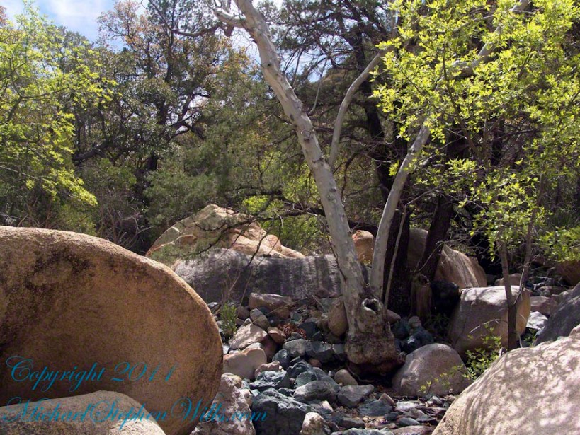
This sycamore tree survives life in this ephemeral stream of an Arizona “Sky Island” by allowing entire trunks to die off during extended dry spells. The tree is an Arizona Sycamore (Platanus wrightii).
Informative sign at campsite
Reference: wikipedia article “Sky Islands.”
Copyright 2022 Michael Stephen Wills All Rights Reserved
Ancient legends speak of the River Lethe, crossed by departing souls. The waters of the Lethe wash away memory, allowing for spiritual rebirth, reincarnation, a return to the world in new form.
This memory implant represents a bridge over the Lethe.
For those chosen to cross over to the new land in return for
their treasure, lives and selves.
Description
This virtual monoculture glade from the long time of forests,
a place of happy gatherings, of families, plentiful food and water.
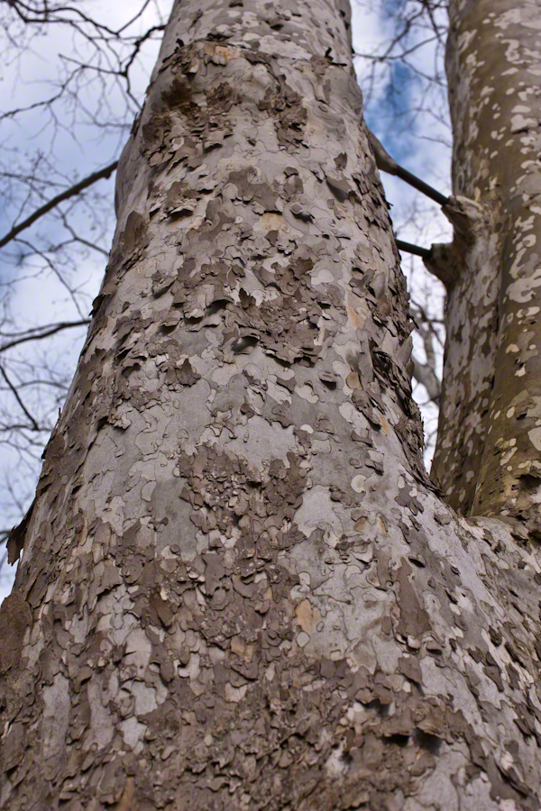
These sycamores grew over centuries, through thousands of days, wider than 10 people,
white with age as the outer covering, called bark, falls away.
forked, trunks
climbing to the sky.
Copyright 2022 Michael Stephen Wills All Rights Reserved
Pam and I were drawn outside the day after Valentine’s a bit of sun, an unreliable warm breeze, a promise of exercise. Our expectations were disappointed for all but the last at the foot of the Taughannock Falls gorge trail.
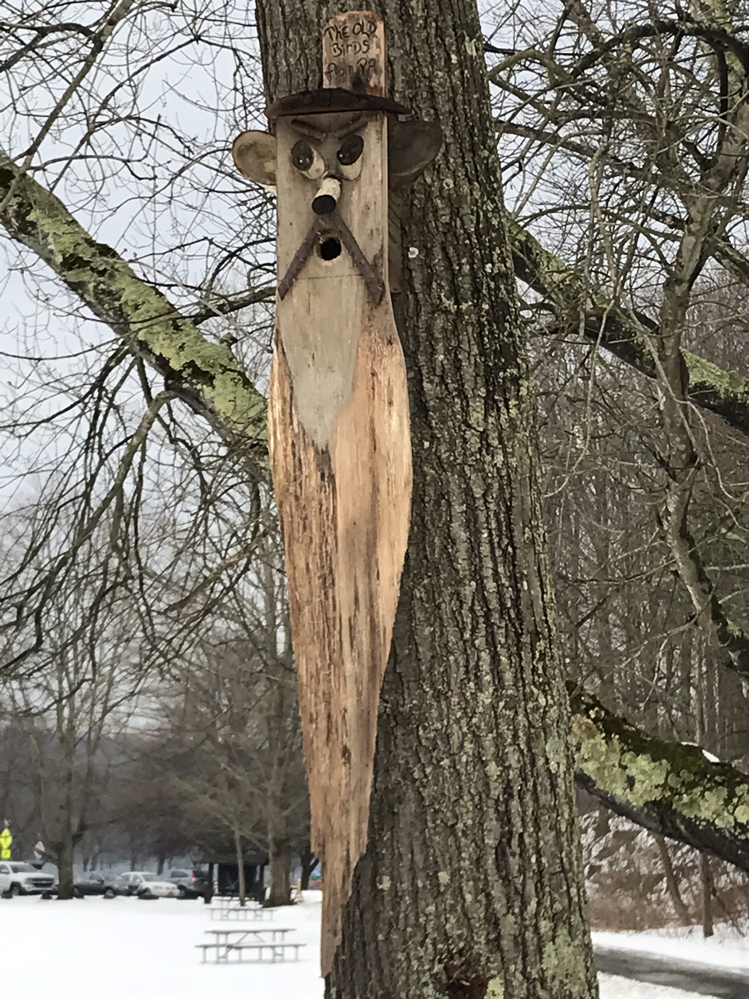
We had a reminder mid-February marks the start of avian mating behavior with this addition to the view from Taughannock Creek, the first large waterfall. For the cold, drizzly excursion I chose the IPhone, in a waterproof case, for the images. The fanicful birdhouse inscription reads “The Old Birds from Pa.”
Click the photograph for my “Finger Lakes Memories” Online gallery.
The winding gorge takes a general east, southeasterly direction. Where the sun cannot reach the snow was reduced to a treacherous slushy ice mix more nasty than dangerous.
View from the Overlook on the way to the trail. This is the endpoint of our hike, viewed from the gorge rim.
Of all the area hiking experiences, Taughannock Gorge Trail is the only one available year round. The gorge is wide with enough room for the footpath to avoid the cliff edge. Today, there were places were ice formations were throwing large ice chunks down the slope. The park ranges place tree trunks along the cliff base, with warning signs to stay away. Still, there are visitors who stray too close with fatal outcomes reported by local news.
Pam was fascinated by the appearance of snow and ice accumulated on the talus, here seen from the Taughannock Falls viewing bridge.
Click photograph for my “Finger Lakes Memories” online gallery. Photo by Pam.
You can just pick out the viewing bridge in the Falls Overlook video.
Click photograph for my “Finger Lakes Memories” Online Gallery. Photo by Pam.
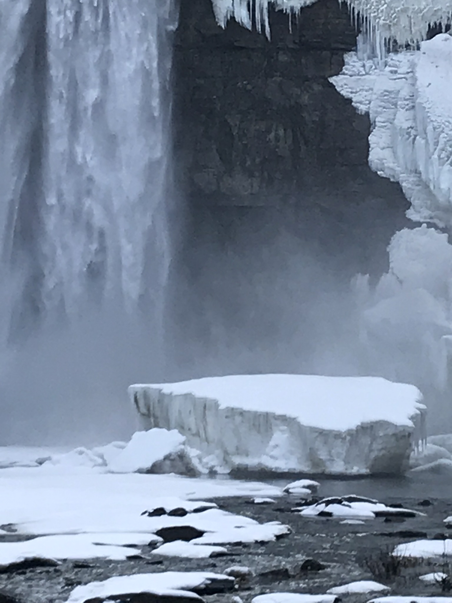
Taughannock Falls bound by ice is a most dramatic sight. I need to post photographs from a 2005 visit during an especially frigid February. Here, the falls have thrown off the ice, leaving this house-size chunk.
Click photograph for my “Finger Lakes Memories” Online Gallery
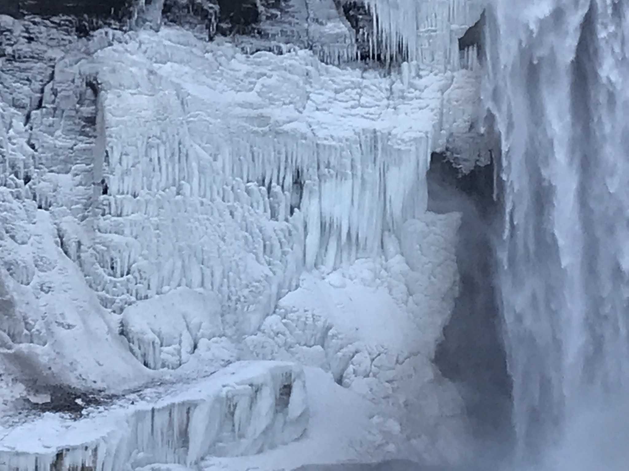
The surrounding gorge walls are continually frost coated by the mist.
Click the photograph for my “Finger Lakes Memories” Online Gallery
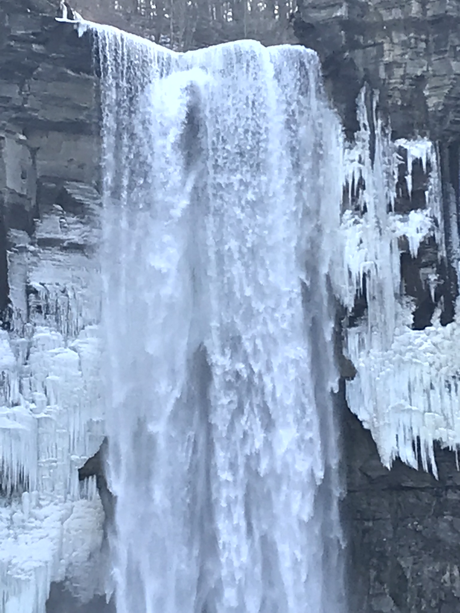
210 foot Taughannock Falls from the viewing bridge.
In more clement seasons the Gorge Trail ends much closer to the falls. Today, it was closed as, during winter and especially thaws, blocks of the sandstone cap break away to fall with great force across that part of the trail. This viewing area is visible in the Falls Overlook video.
Copyright 2019 All Rights Reserved Michael Stephen Wills
This series of posts started with “Proleek, Grandfather McCardle’s home” where we explored the site of great grandfather James McCardle’s Proleek farm. A kilometer from there, at Proleek Dolmen, the ancient portal stones line up to face the plain rising to Slieve Gullion, a name for the mountain taken from the Irish, Sliabh gCuillinn, meaning “mountain of the steep slope” or Sliabh Cuilinn, “Culann’s mountain.”
Click photograph to view my Ireland photography gallery
There is an connection between Proleek and Slieve Gullion. Cycles of Irish Myth place a boy named Sétanta living on Muirthemne Plain, of which what we call Proleek Townland was a part. One day, the king Conchobar was passing his kingdom, Muirthemne, on the way to a feast on the slopes of Slieve Gullion hosted by the blacksmith Culann when he stopped to watch boys playing hurling, Sétanta among them (it is ironic the Proleek Dolmen is surrounded by a golf course in modern times).
Impressed by the Sétanta’s skill, the king invites him to the feast. Having a game to finish Sétanta promises to follow. As evening falls the boy approaches the smith’s house to find himself attacked by a huge, aggressive dog. Acting in the moment, Sétanta dispatches the dog with the hurley and ball he had at hand, driving the ball down the hound’s throat. (In another version he smashes the hound against a standing stone.)
Feeling Culann mourn the loss of his beloved animal, Sétanta promises to raise and train a guard dog equal to the one he slew. Until that time he also pledged to guard Culann’s home. From that time Sétanta was known as “the hound of Cullann”, Cú Chulainn in Irish.
References
Wikipedia articles “Slieve Gullion” “Cú Chulainn” and “Conaille Muirtheimne.”
Copyright 2022 Michael Stephen Wills All Rights Reserved
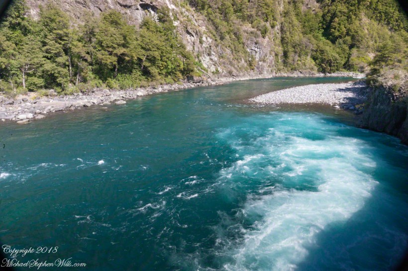
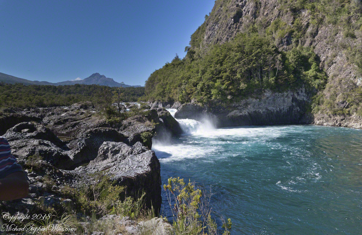
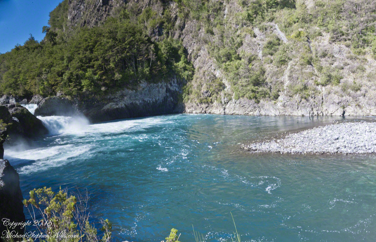
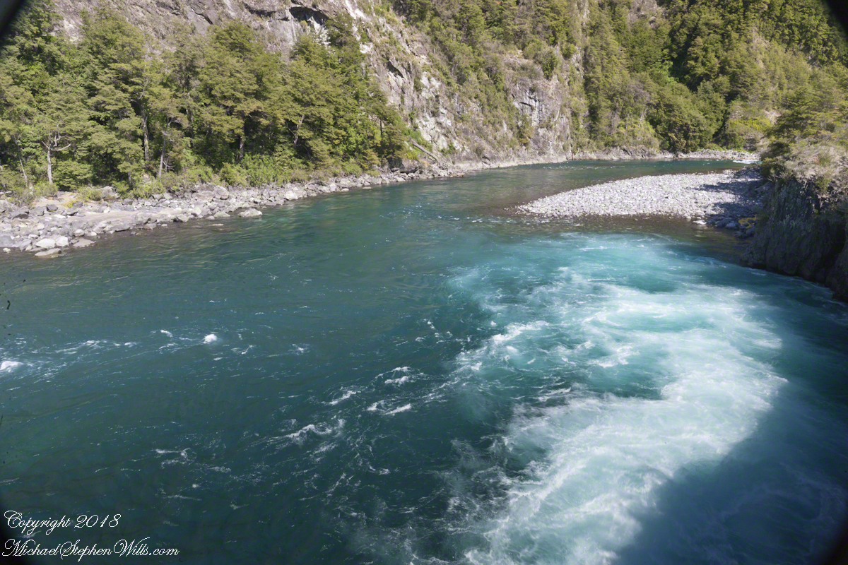
Glacial meltwater from Lake Todos los Santos (All Saints Lake) forms Petrohué River and, where the river flows over lava from the Orsorno Volcano, Petrohué Falls. This set of photographs features the emerald color the river originating from glacial minerals.
Click any photograph for a larger view.
A strangeness of these photographs is this is the middle of February, Chilean summertime.
Force of Nature
Another strangeness, not readily apparent, is the effect of the Coriolis force. Here in the Northern Hemisphere water (any moving mass, really) moving perpendicular to the rotating surface of the earth (a property of water is the surface follows the contour of the solid surface over which it flows) will tend to flow in a clockwise direction. Crossing the equator, in the Southern Hemisphere the tendency reverses, tending to flow to the left, counter-clockwise. With some imagination the effect of the Coriolis force can be seen in the following photograph.
Copyright 2021 All Rights Reserved Michael Stephen Wills
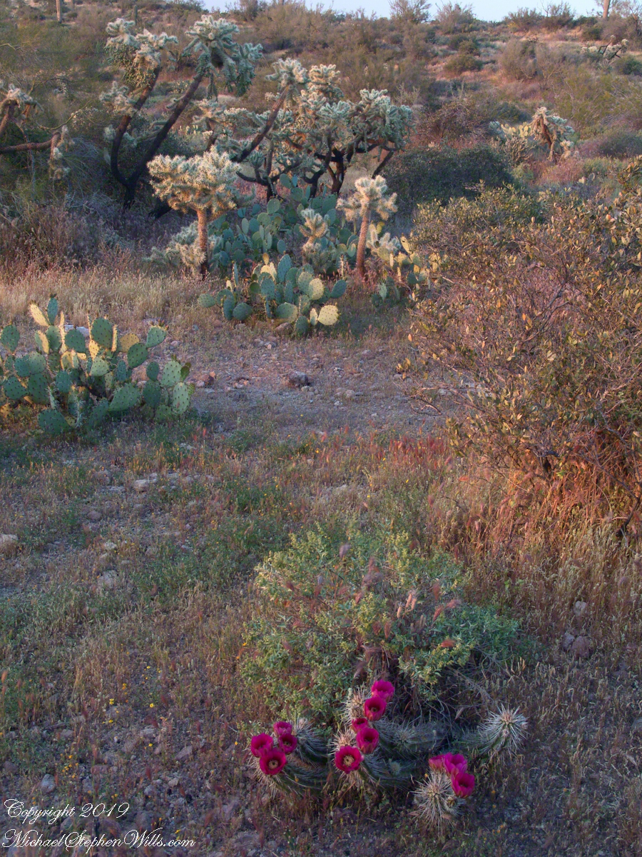
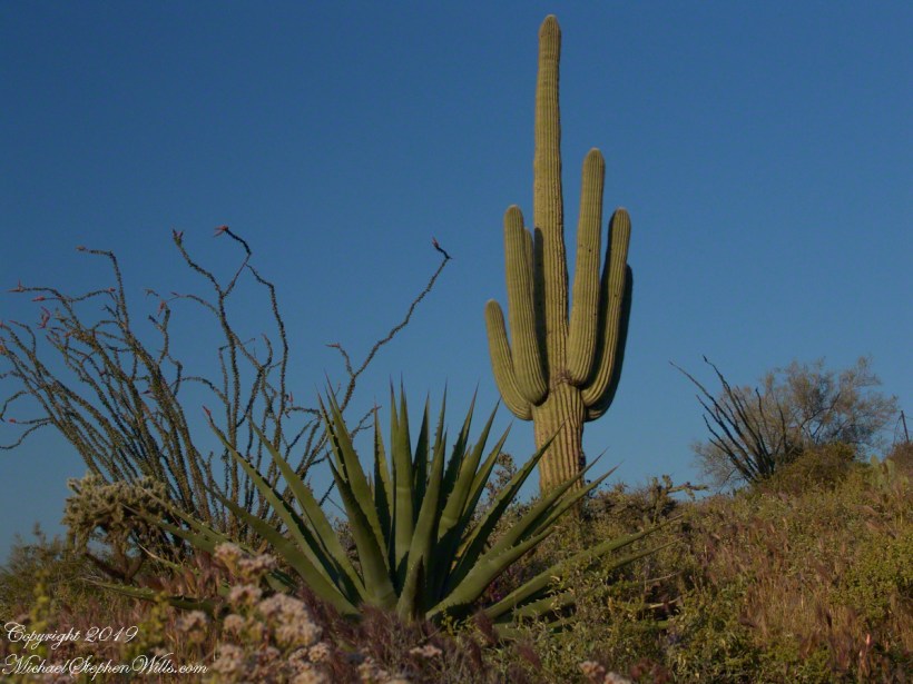
Notable Sonoran Desert Plants, all in the same frame. From the left, back row: staghorn cholla, ocotillo, saguaro. Front row: teddy bear cholla, yucca. I am not certain the greenery to the left of the yucca is brittle bush.
First Water trail head is the most used access point to the Superstition Wilderness, being the closest to Phoenix and its satellite cities and suburbs. For day hikers there are ample and interesting route choices as all foot trails of the west side terminate at First Water making for a variety of loops and incredible views. For horse people there are facilities to park huge trailers.
The ready access from Mesa, where my sister and husband had their home, was the primary reason I planned to finish my cross wilderness hike on the Dutchman Trail. Named for Jacob Waltz of the fabulous legend of the Lost Dutchman mine, the inspiration for The Searcher’s Superstition Wilderness expeditions and, ultimately, why he and I met and my change of plans.
On our ride over from Roosevelt he told of his difficulties building a home in Apache Junction, sleepless nights spent guarding building supplies from thieves. He looked forward to moving day.
This photographic record of five days in the wilderness would be much different without that meeting yet, there I was that afternoon with plenty of time for photography during the golden hours of late afternoon as I wandered the desert gardens until my sister arrived.
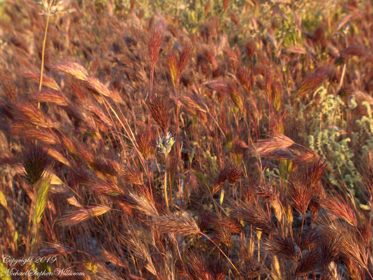
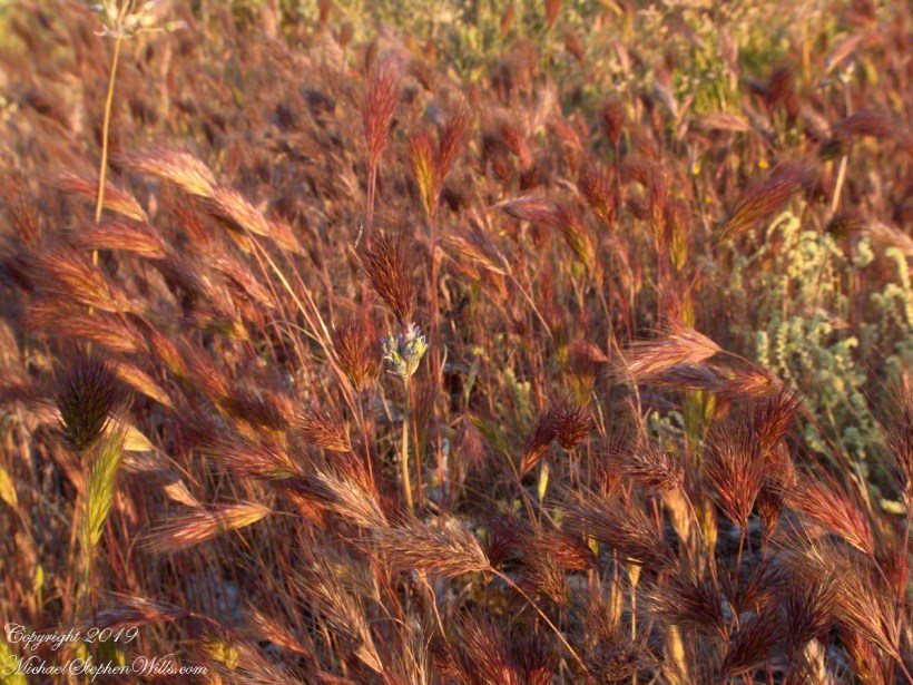
Wild Barley
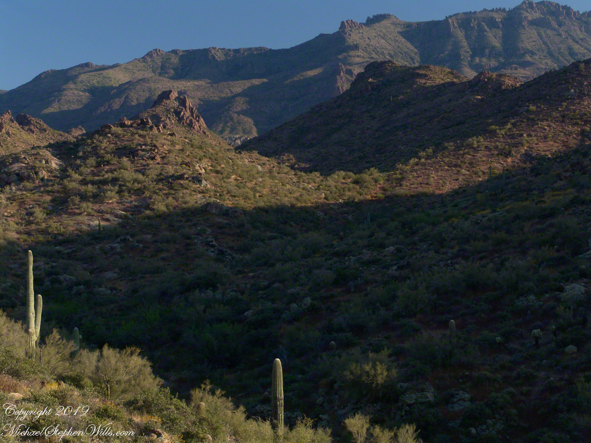
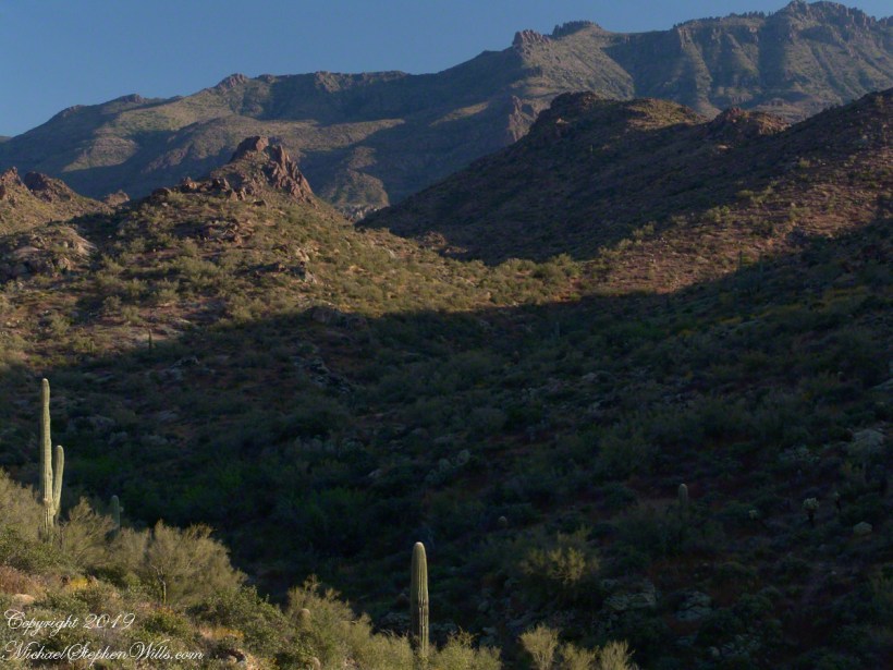
The long distant ridge beyond the rugged near hills is the backbone of the famed “Superstition Mountain.” On the far right are hoodoos, appearing as so many teeth on a jaw. Gorgeous saguaros in the foreground.
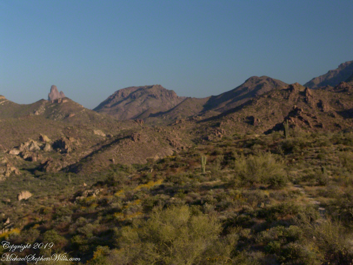
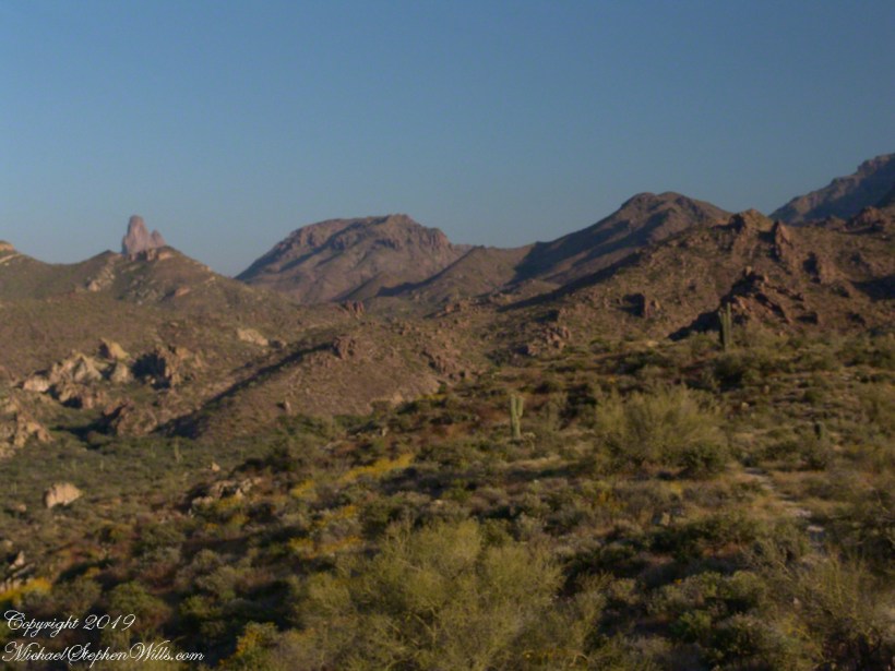
Weavers Needle is the distant peak, 5.5 dry miles away in this view to the west / southwest.
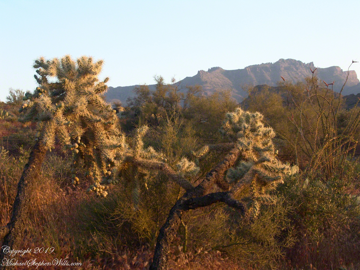
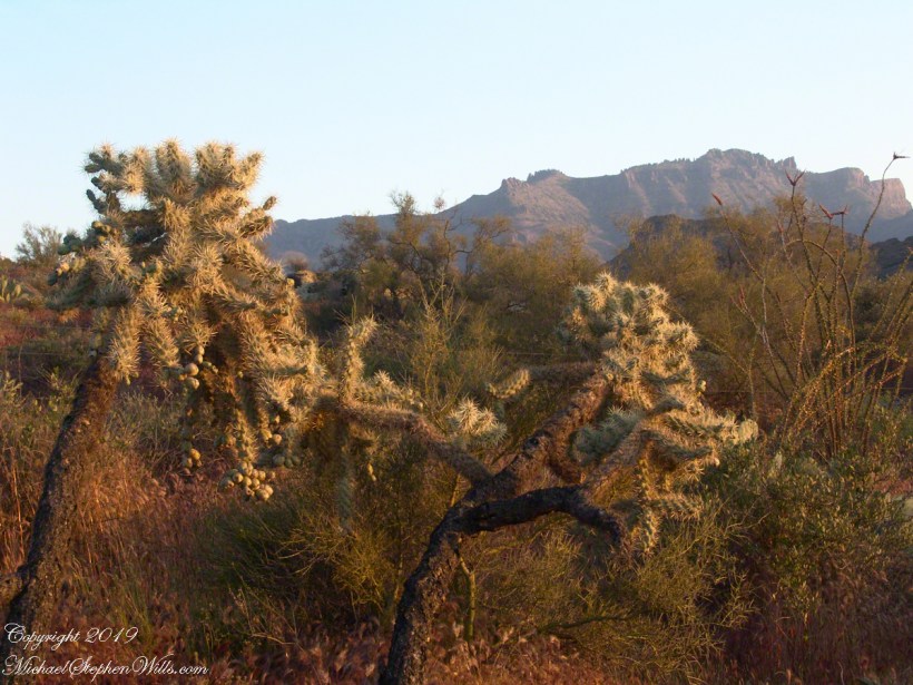
I’ve always been partial to how the dense spines of cactus catch the evening light. These staghorn chollas are in front of the same ridge of the Superstition Mountain. A famous formation, “The Flatiron” is visible on the far right.
The road to the trail head, Service Road 78, winds through 2.6 miles of hills. Here is another overview of Sonoran desert life.
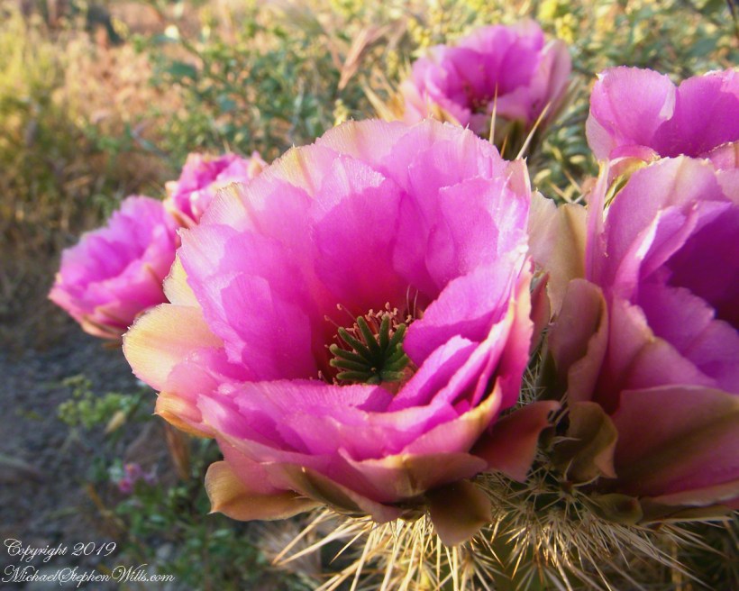
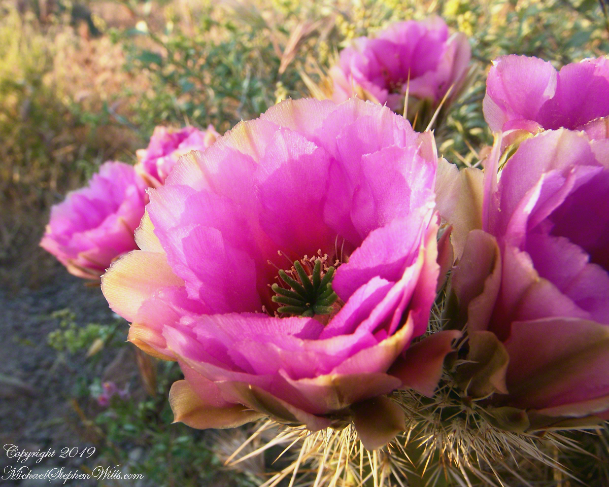
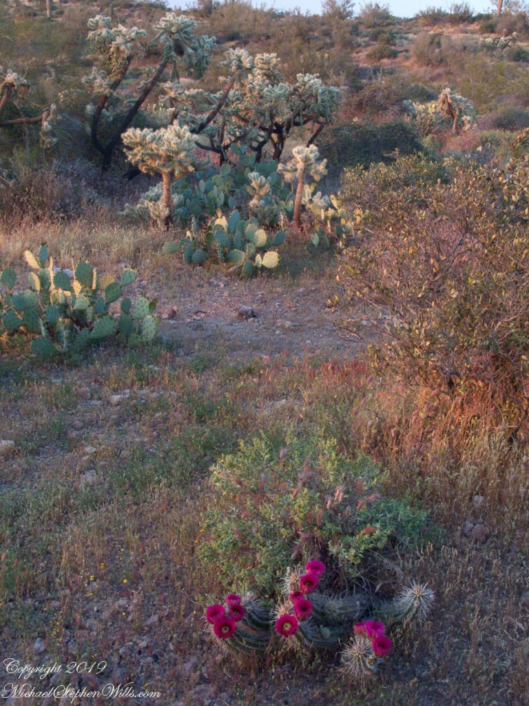
You might remember hedgehog cactus blossoms from my posting “A Dry Piece of Paradise”. The following are from the large hedgehog cactus in the foreground of the preceding photograph.
Future Plans
During the drive back with my sister, Diane, we talked of plans for returning to the Reavis Ranch together, as a backpack expedition. In coming days I met with The Searcher to explore possibilities for a horse expedition and, three years later, these plans came together for a trip kicked off from this same First Water trail head.
Hedgehog Cactus Blooms
Here is a gallery of the same photos. It is fun to flip back and forth with me disappearing from the scene.
It is possible to walk the distant ridge starting from Lost Dutchman State Park. Hoodoos are visible on the right side.
Weaver’s Needle is visible above the near hills. the First Water trail traverses this desert.
Ocotillo, yucca and saguaro. Two types of cholla cactus are also visible.
Also known as Teddy Bear Cholla. Hoodoos are visible on the distant ridge.




 For those chosen to cross over to the new land in return for