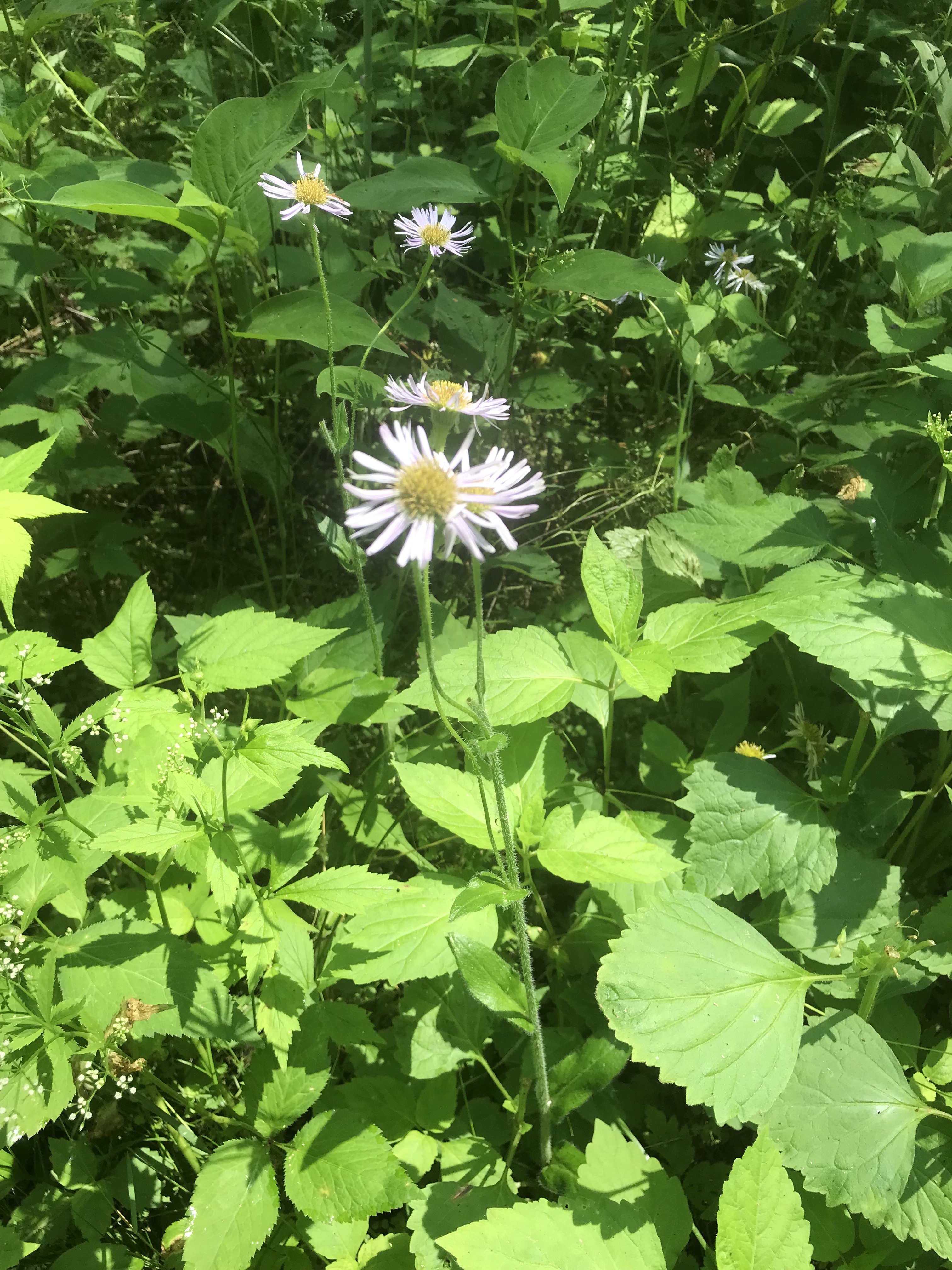
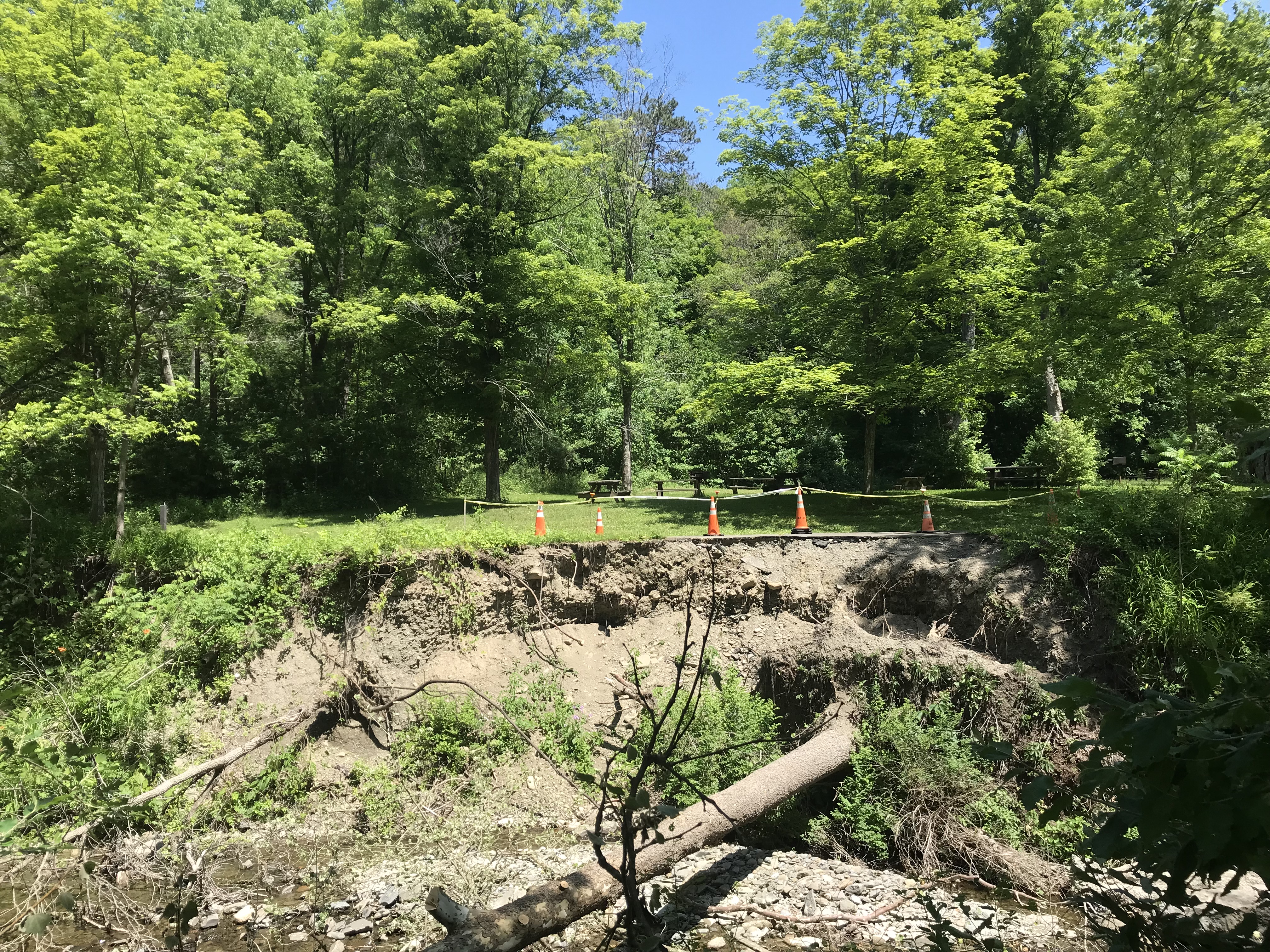
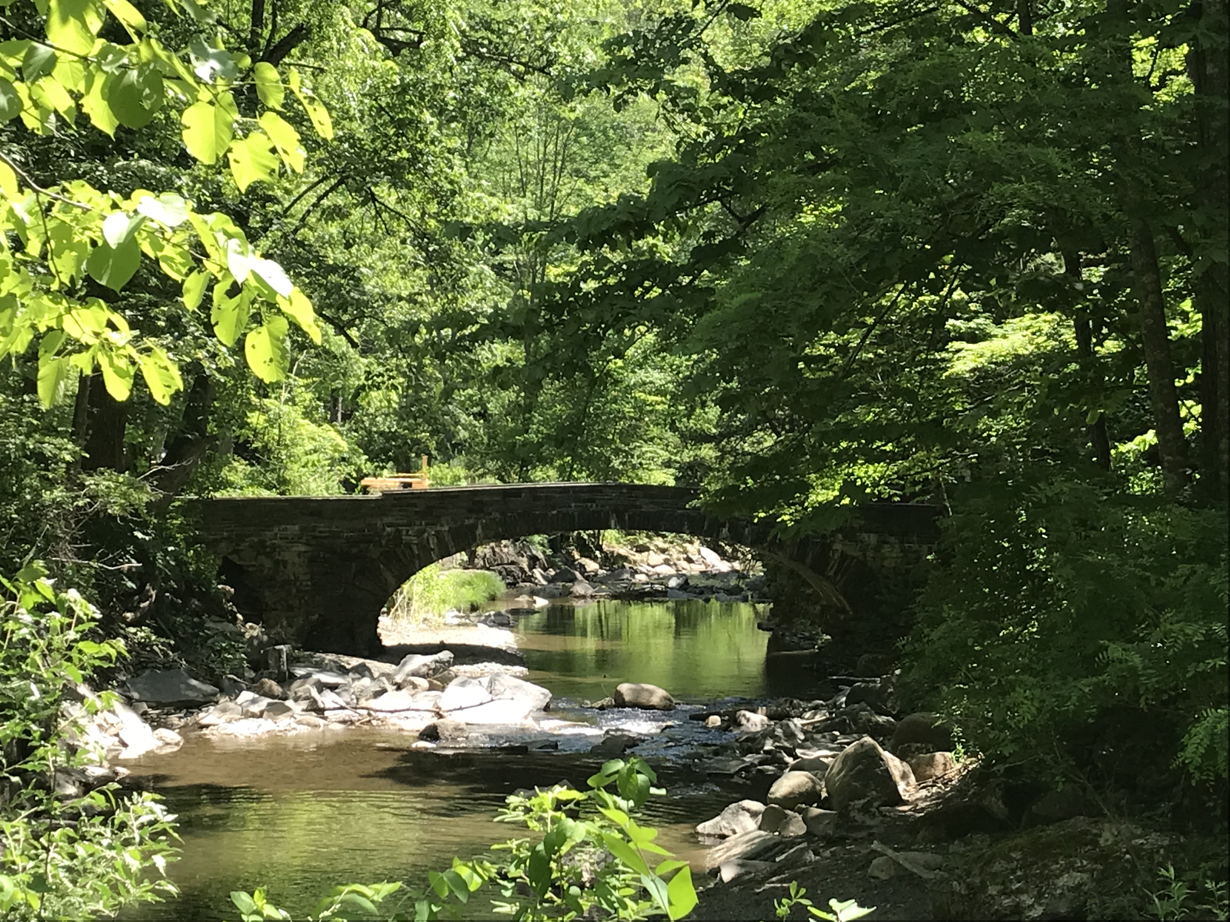
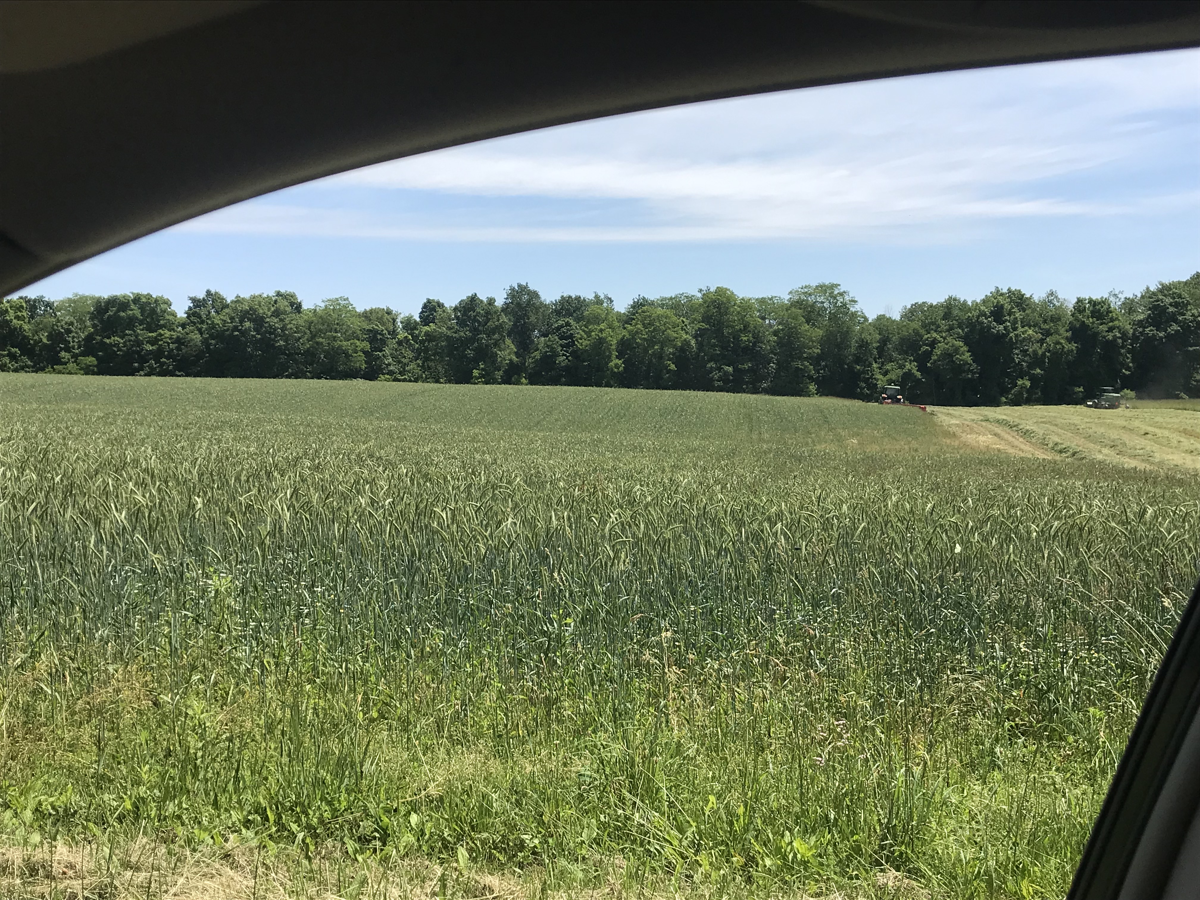
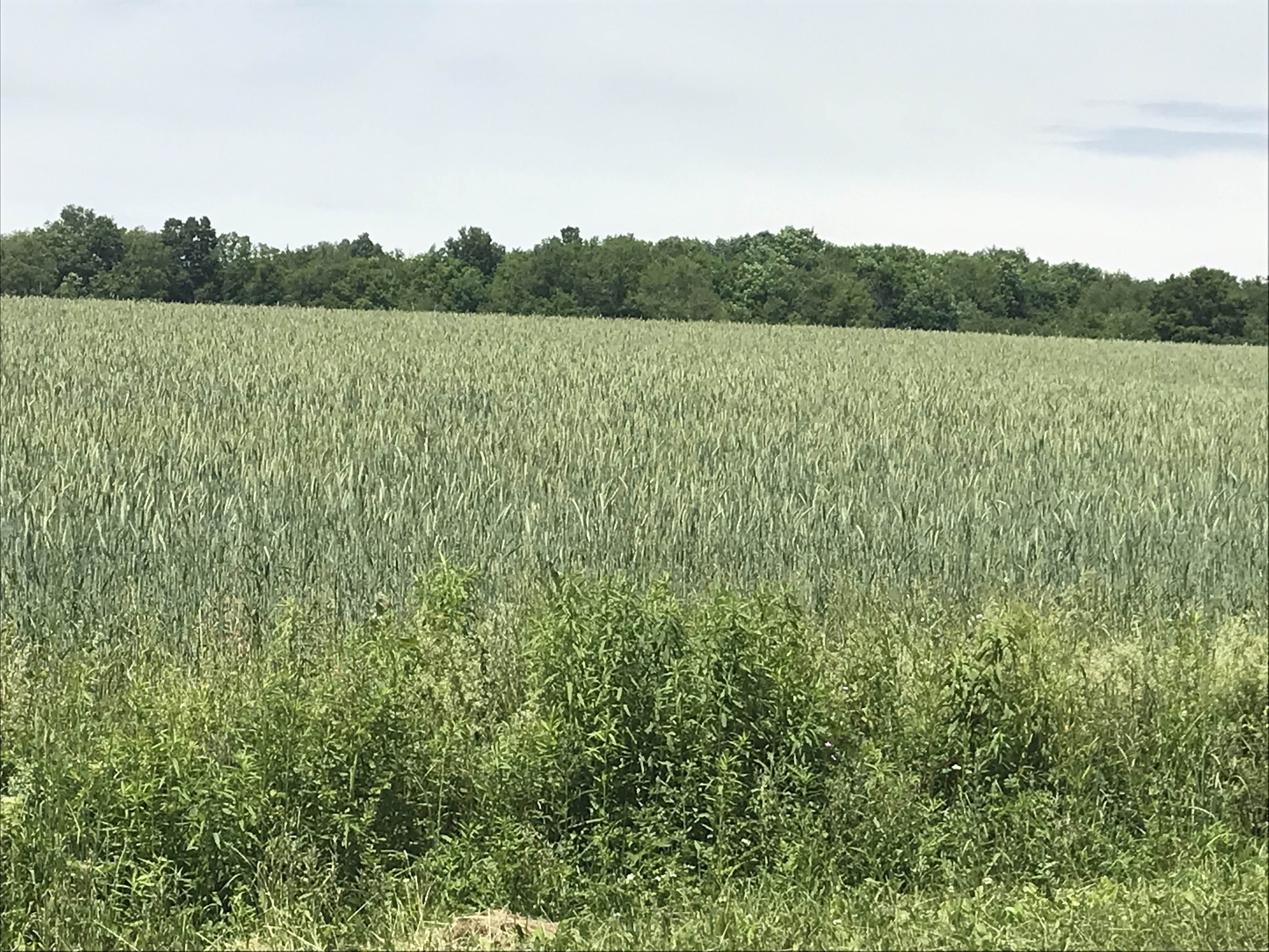
Wednesday, June 15th, we were on a turn to heat and humidity with this day of light breeze, temperature in the 70s making hiking around Tremen Park a joy.
These snapshots, taken on the fly with an IPhone 7, are the high points.
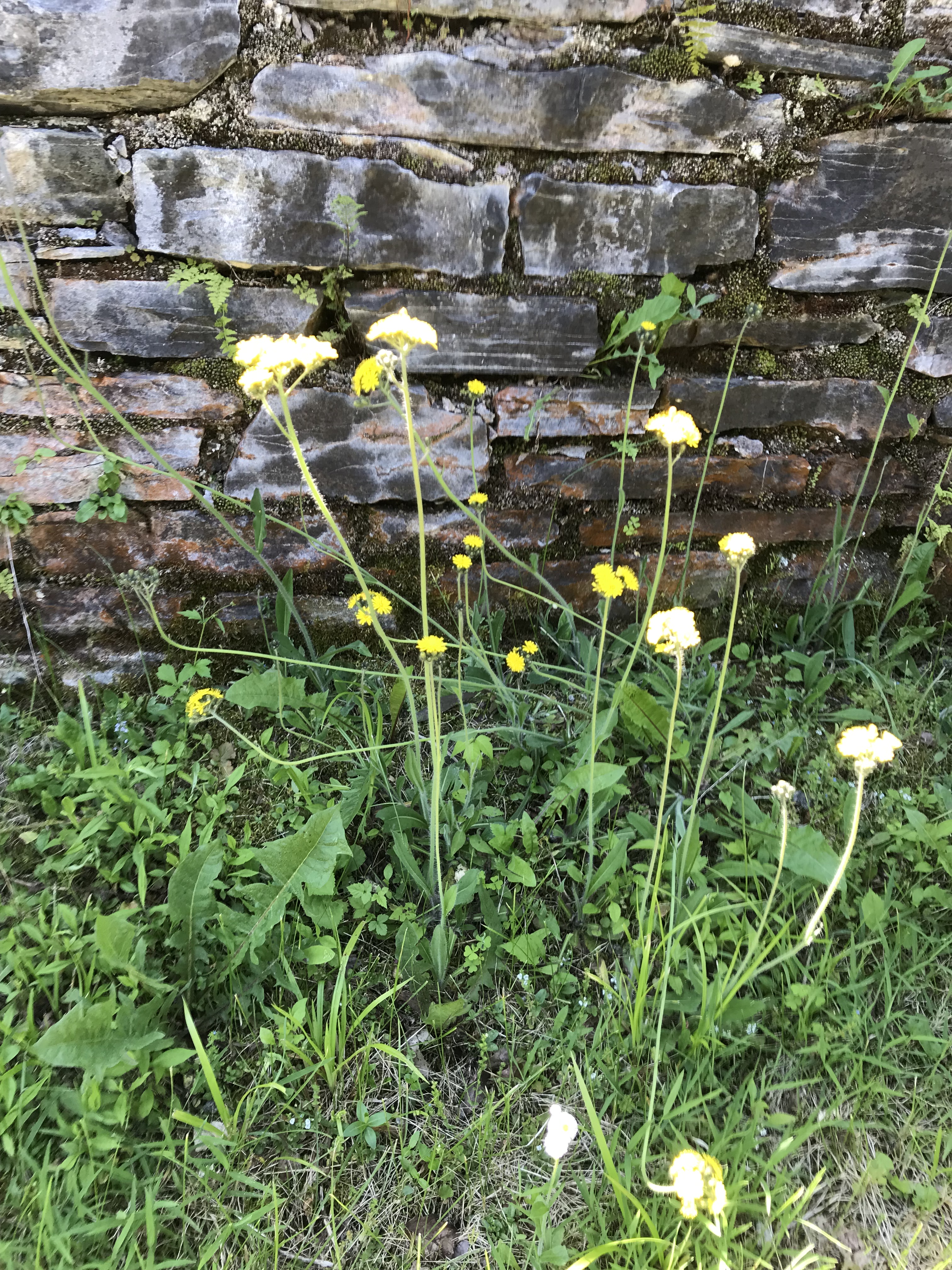
The first is a dandelion look alike with yellow flowers, petals shaped like teeth, though on a long hard stem and multiple flowers on a stalk. Known as meadow hawkweed, yellow hawkweed, field hawkweed, king devil, yellow paintbrush, devil’s paintbrush, yellow devil, yellow fox-and-cubs, and yellow king-devil with two scientific names: Pilosella caespitosa and Hieracium caespitosum.
Click photograph for a larger view. To do this from WordPress Reader, you need to first click the title of this post to open a new page.
Pilosella caespitosa
Click for slideshow.
Copyright 2022 All Rights Reserved Michael Stephen Wills
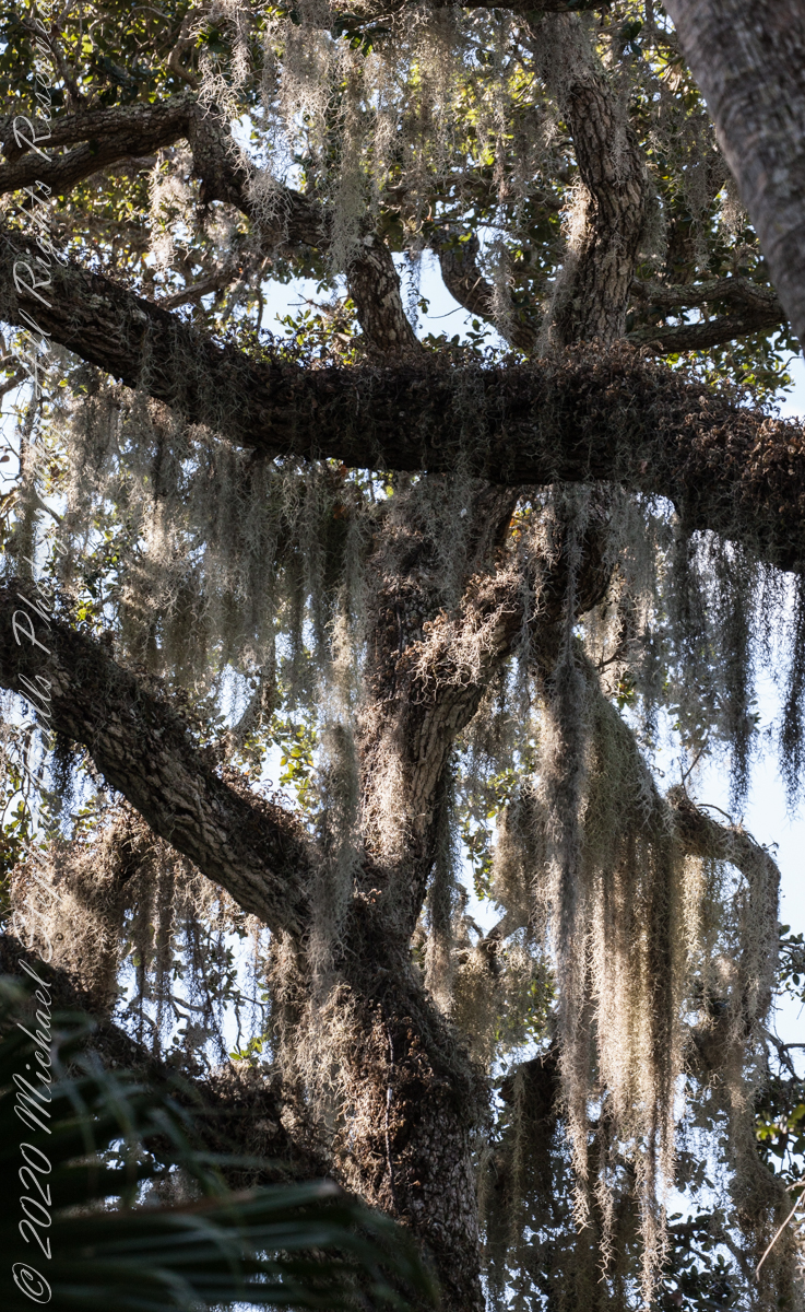
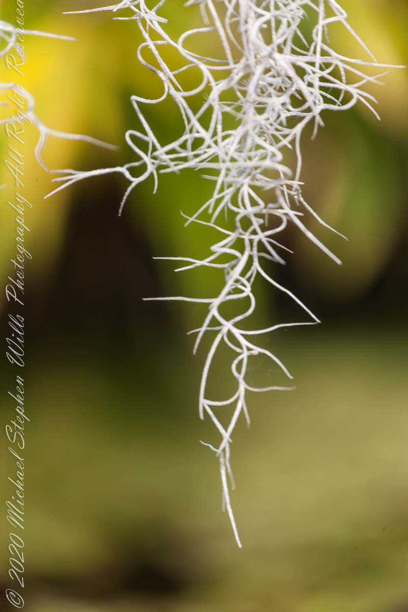
We spotted this stuff within minutes of arriving at McKee Gardens for an afternoon visit with the grandchildren. Festooned above our heads from thick Oak branches, I could not resist pulling out the camera for this photograph to capture the flavor of Southern Gothic. Fortunately, our group included neither deeply flawed nor disturbing characters, though we can confess to a touch of eccentricity.
Above the Cafe tables
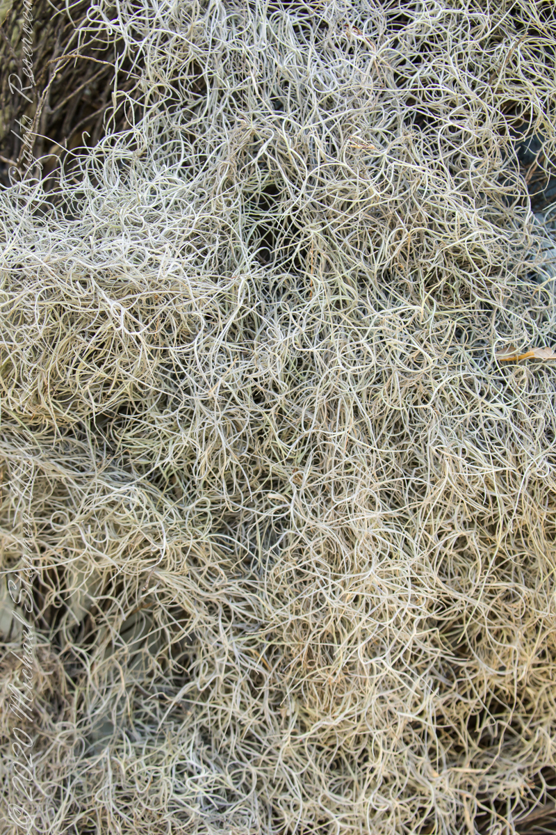
Spanish Moss produces inconspicuous flowers with tiny seeds. Spanish Moss also propagates from fragments of the fine leaves.
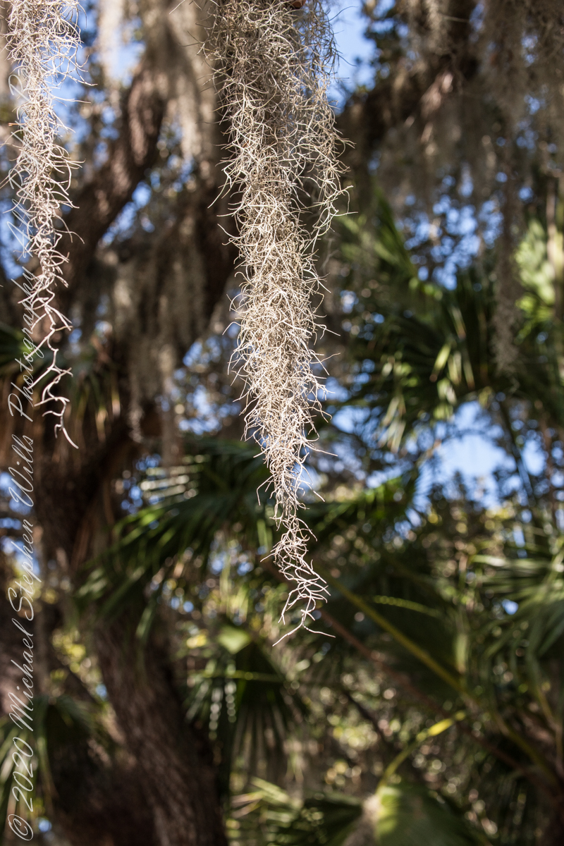
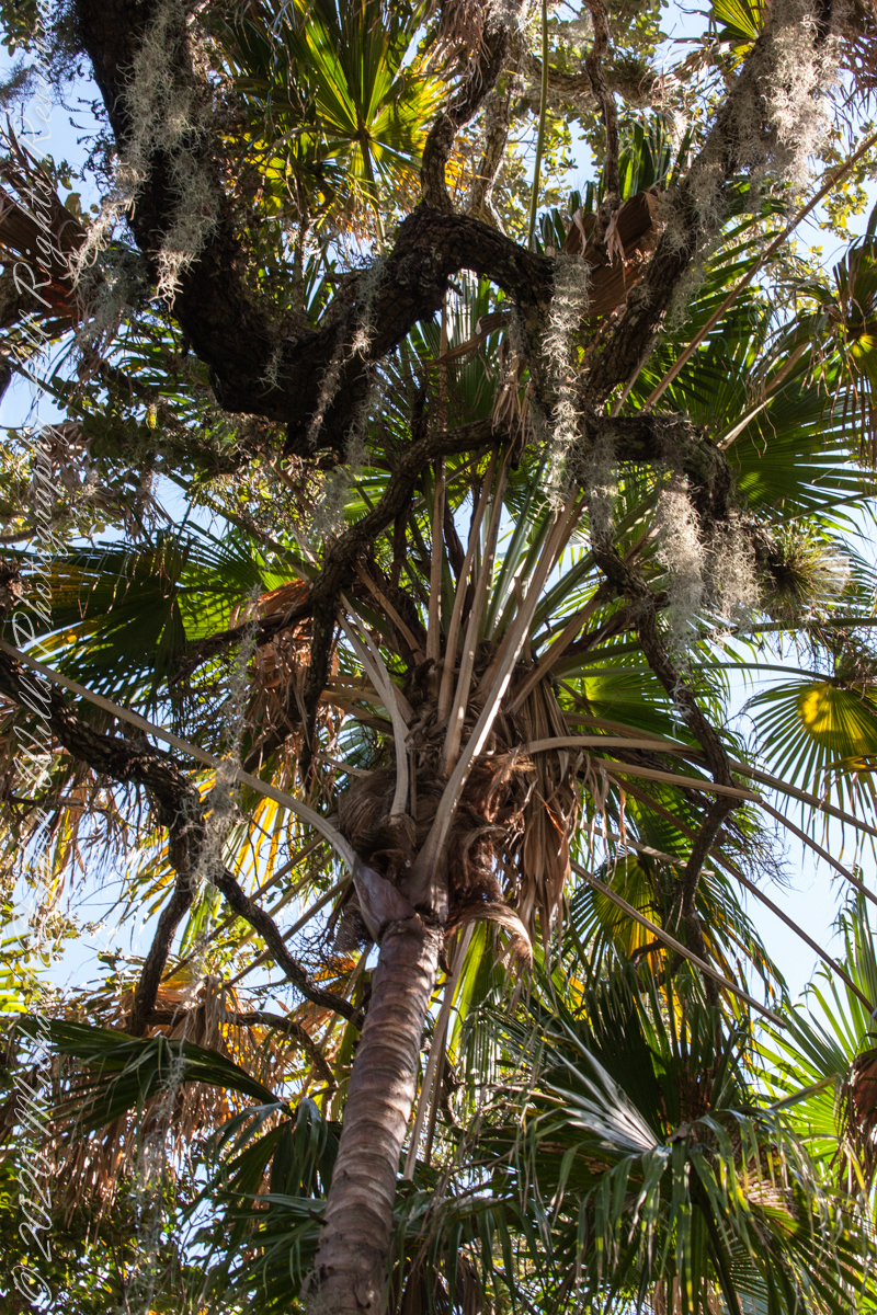
Spanish Moss is neither moss nor Spanish. Scientific name Tillandsia usneoides, this flowering plant is in the family Bromeliaceae that includes pineapple. Here we have two epiphytic bromelias sharing the trunk of a palm.
Spanish Moss with other Bromeliads
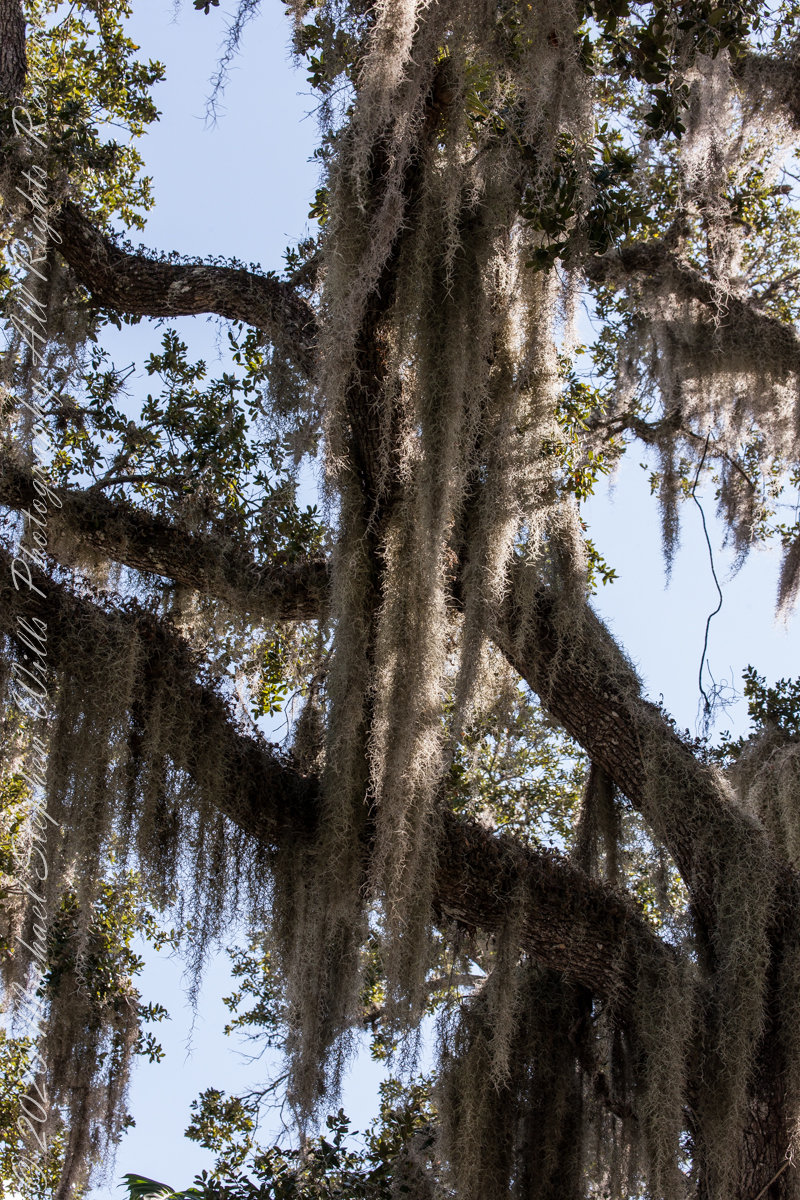
A rootless epiphyte native to the tropical / semi-tropical Americas, Spanish Moss has a preference for southern live oak (Quercus virginiana) and bald cypress (Taxodium distichum) because of their high rates of foliar mineral leaching (calcium, magnesium, potassium, and phosphorus) that provides an abundant supply of nutrients to the epiphytic plant.
Spanish Moss on PalmsSpanish Moss on Southern Live Oak
My two volume “go to” resource for plants and trees had sparse information about Spanish Moss and no wonder as it is a burden on trees, though not parasitic, and so more a pest than a decorative element to cherish. Surprisingly, Spanish Moss was purposely introduced to Hawaii where it is now known as “Pele’s Hair” after their fire goddess.
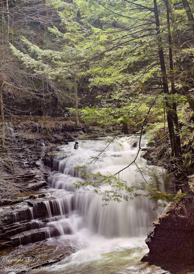
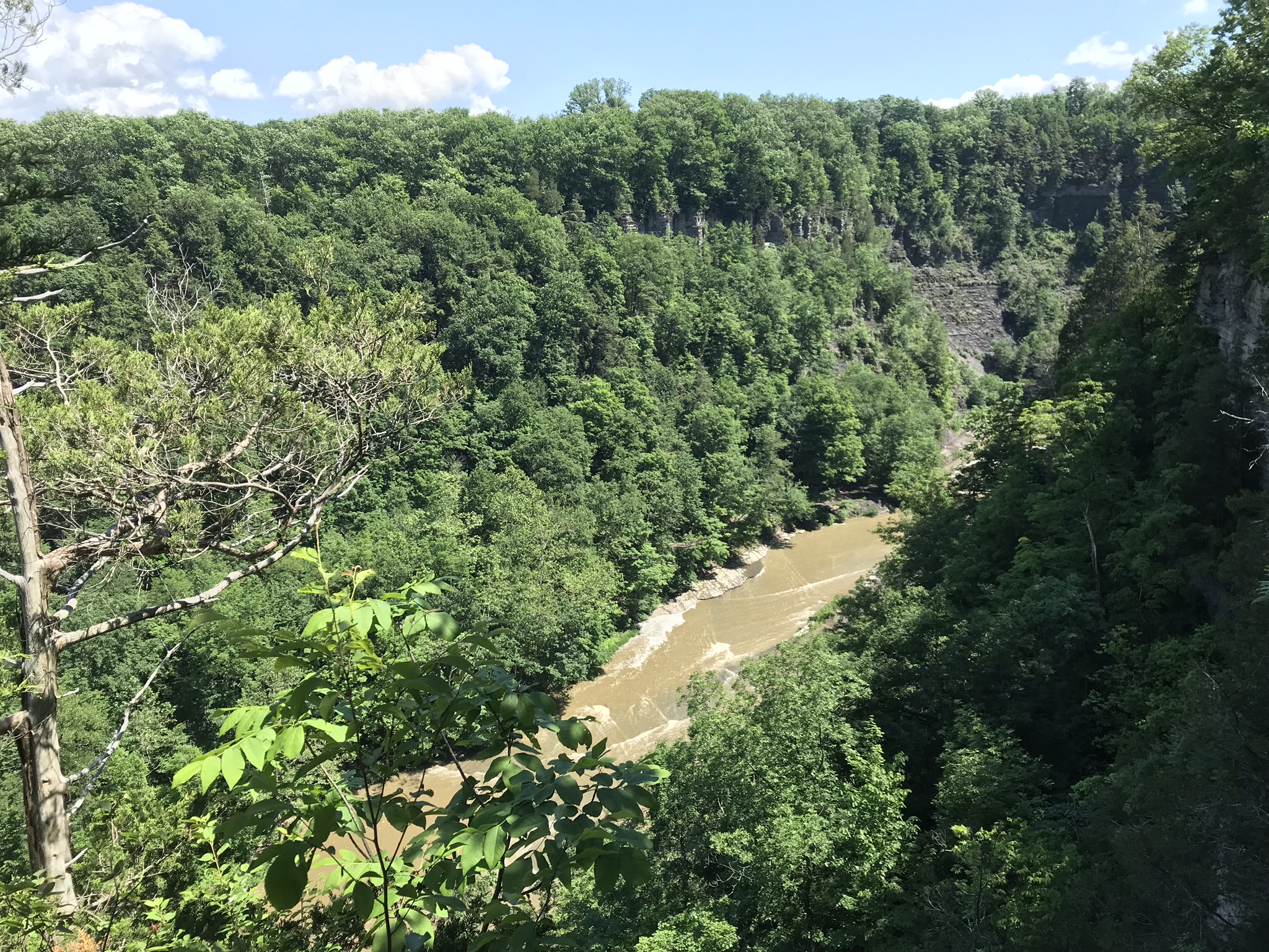
Walking around Taughannock Falls New York State Park on the solstice of 2019 starting from the Black Diamond trail head on Jackson Road, down the South Rim trail, up the North Rim Trail. We had a great deal of rain this week and the water filled the falls the full channel width.
The header photograph is a waterfall of Fillmore Glen, also in the Finger Lakes.
For a full screen view, click on the UTube icon, lower right of the video panel. The resolution is not very good so I also posted the source videos.
The movie is from the following videos and photos from my IPhone. The quality is better than the compilation video. I uploaded the following videos directly to WordPress. I was not able to get the “full view” icon to work on my browser. Enjoy
View of the upper gorge, above the falls, from the South Rim
View into the gorge from the South Rim
Distant view of Taughannock Falls from the South Rim
Click on any of the photographs for a larger view.
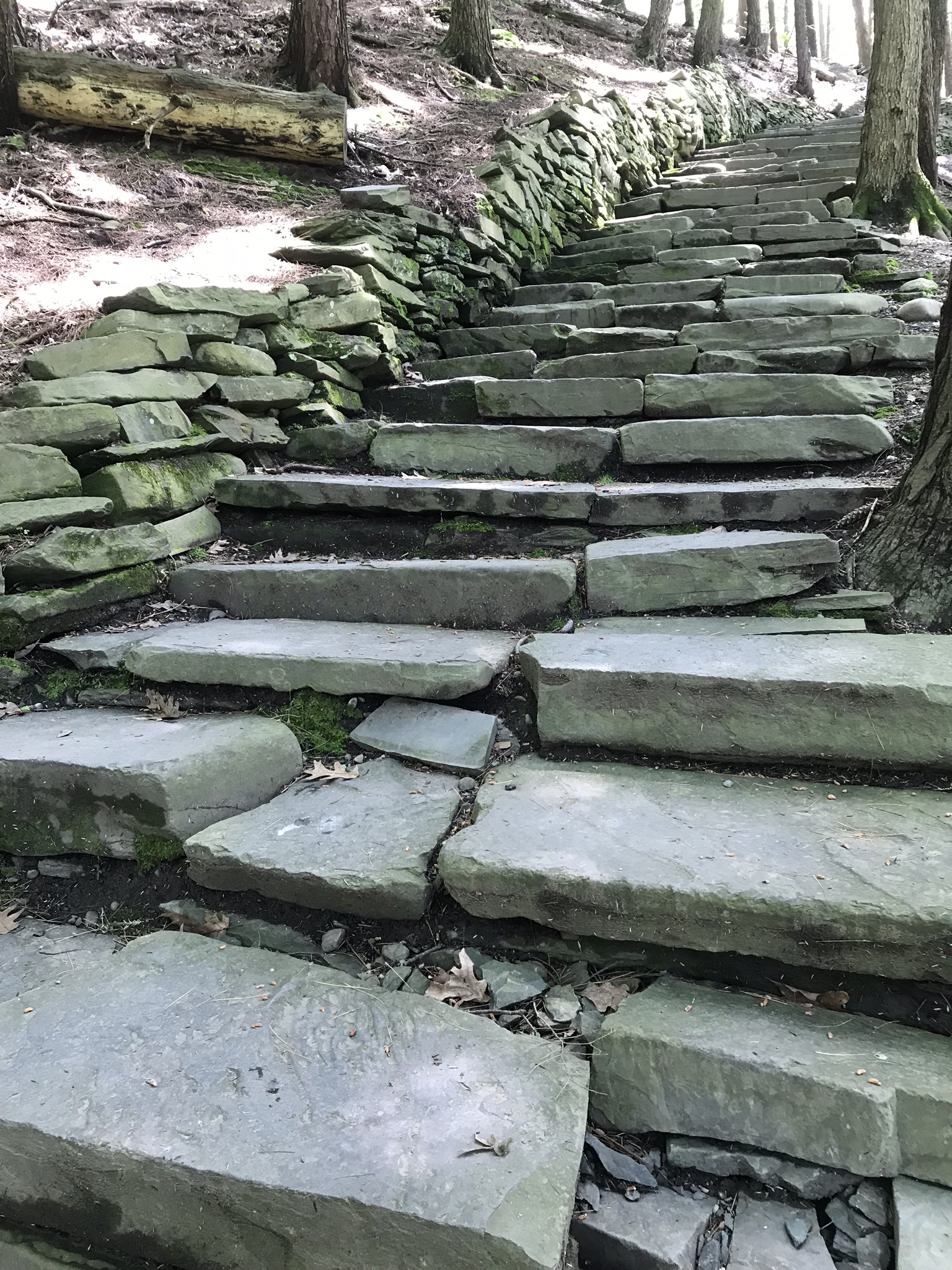
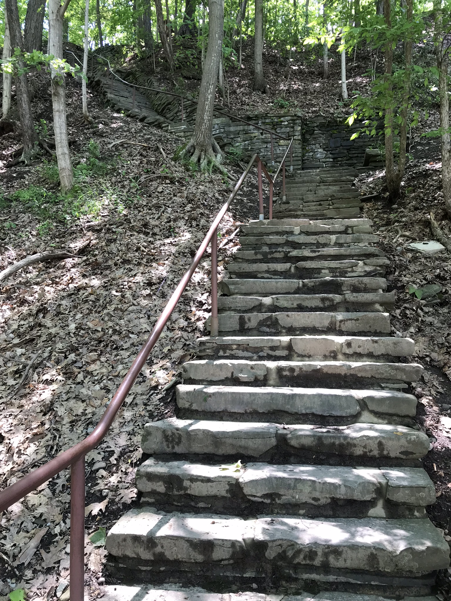
The stair down from the gorge South RimView of the forest of the South RimThe stairs up to the North Rim of the gorge
View of the forest of the North Rim
A turkey vulture soars by towards the end of the following.
View of gorge from the North RimView into the gorge from the North Rim
Taughannock Falls and “Ant People” from the overlook
Taughannock Falls from the North Rim
Copyright 2019 All Rights Reserved Michael Stephen Wills
A roadside shrine on Cottage Road, Inishmore. The faith brought by the saints has deep roots here.
A large crucifix set with wet stone walls with cut flowers. The walls are the native limestone.
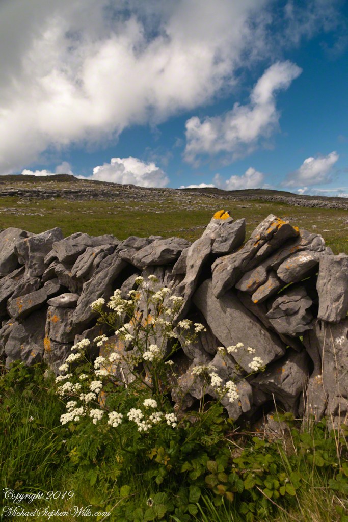
It is a spring (early June) afternoon and there are fern and wildflowers. The white flowers are Greater Burnet saxifrage (Scientific Name: Pimpinella major).
The existing dry stone wall was interrupted by the shrine. In the distance are dry stone walls around fields, a stone shed, feeding horses and the sea, being Galway Bay, storm clouds with distant rain.
Aran Islands, County Galway, Ireland.
Roadside Shrine and Island Landscape, Inishmore, Aran Islands, County Galway, Ireland
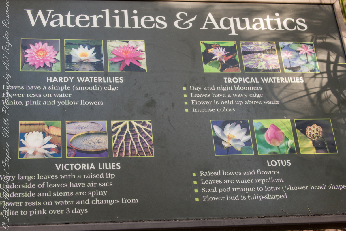
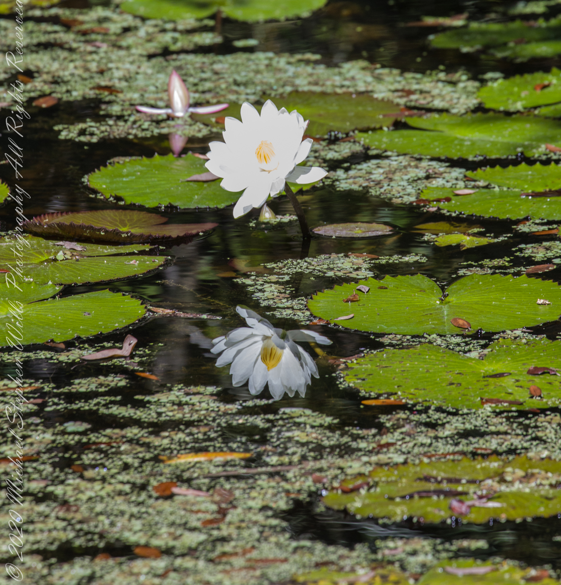
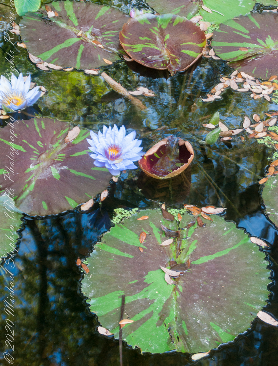
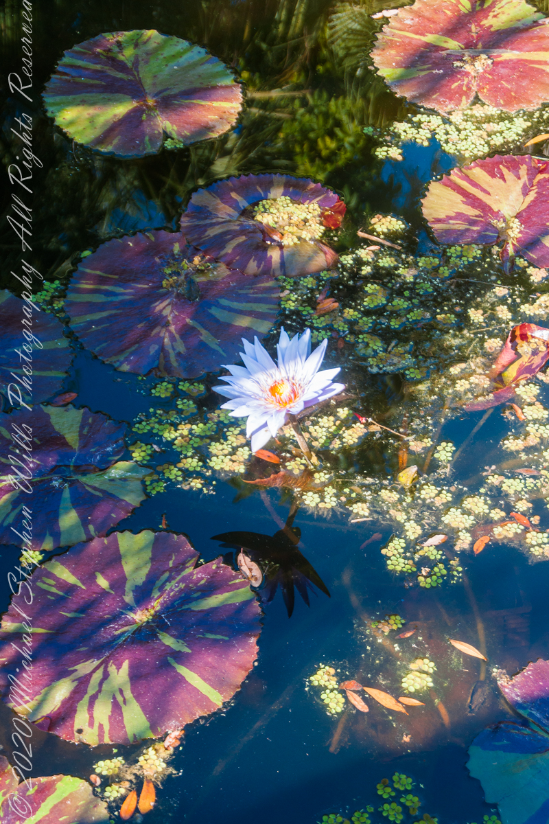
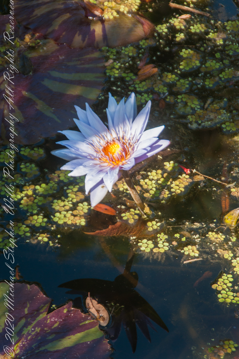
The McKee informative placard divides the Genus Nymphaea into “Hardy” and “Tropical” waterlilies. “Hardy” being plants native to temperate climates, such as New York State. I do not have photos of these from McKee. Nor are there examples of Lotus.
The idiosyncratic categories of McKee Gardens
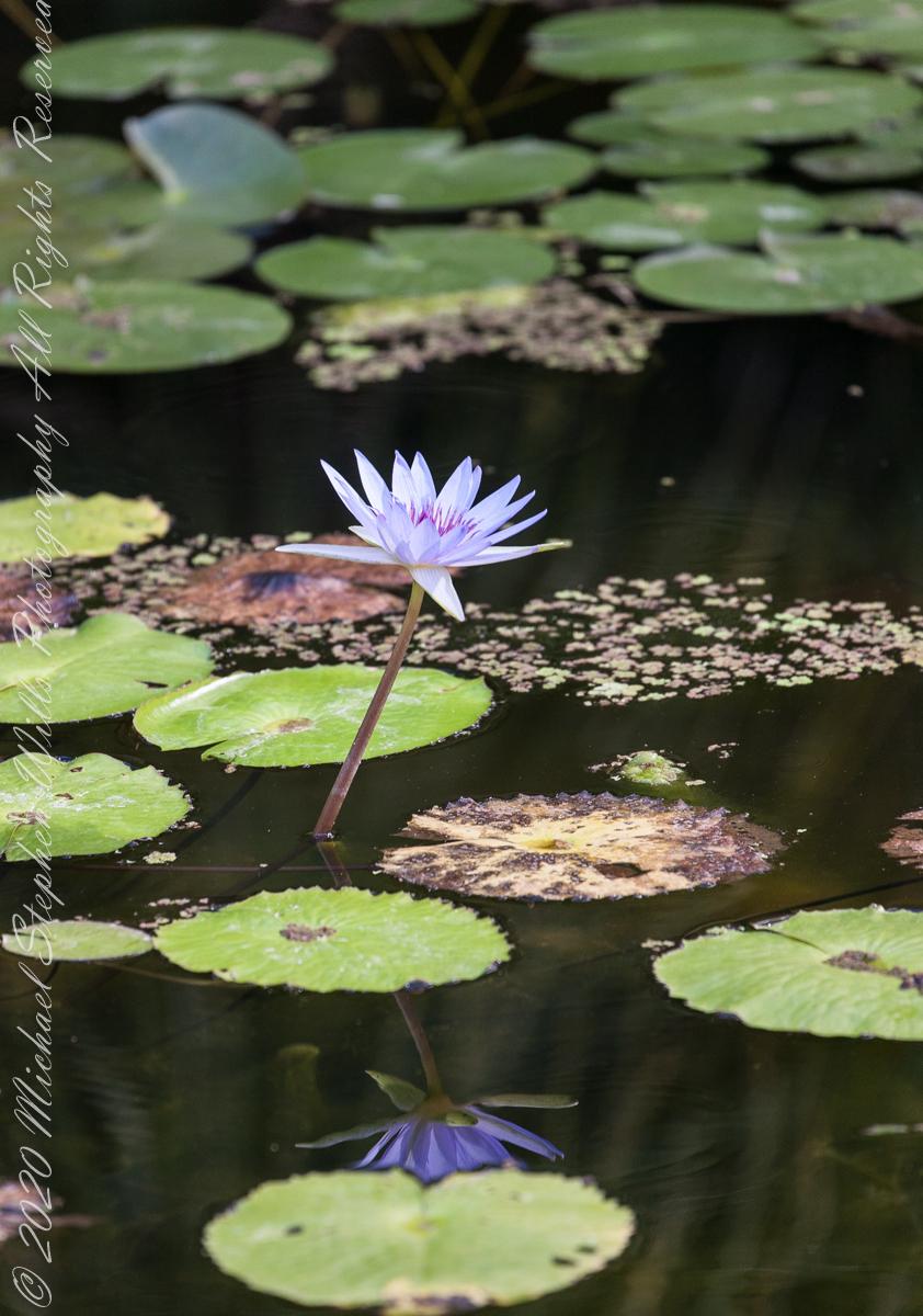
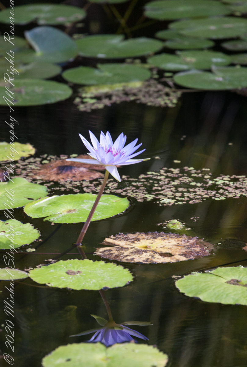
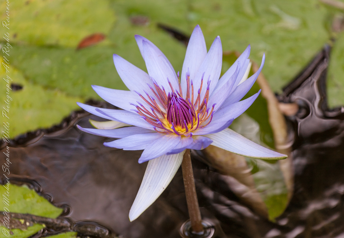
What I have is an abundance of the “tropical” varieties.
“The family Nymphaeaceae, of which the genus Nymphaea is a part, is thought to be the most basic of all the Angiosperms. A minute flower of the Nymphaea type was found in early Cretaceous deposits in Portugal, dating early waterlilies to at least 115-125 million years ago.“
Bright sunlight washed out the flower, not so for the reflected image
Here is a brightly colored “tropical” flower well above the water surface on an erect stem emerging from the water.
“Angiosperm,” the word referring to all flowering plants, is composed to two greek words angio-. meaning enclosed, and -sperm, meaning seed. “DNA studies indicate the Nymphaeaceae separated from the rest of the angiosperm family tree…..before the separation of the monocots and dicots.” – see reference.
Imagine yourselves in an open cart exploring the island. Here are the photographs from my Inishmore exploration posts. Enjoy!!
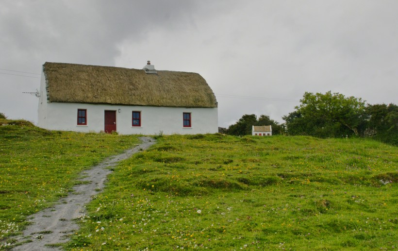
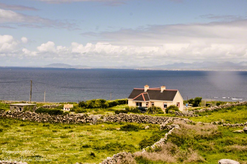
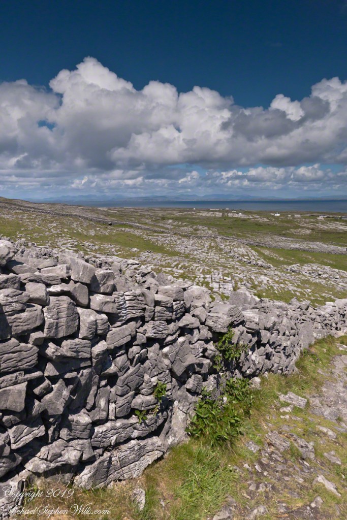
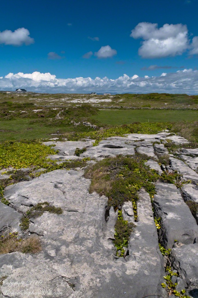
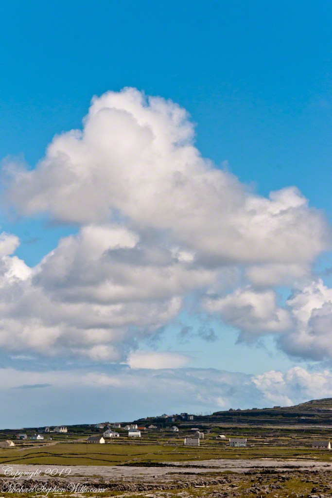
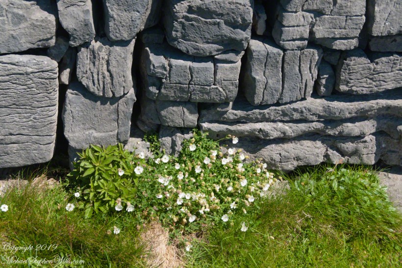
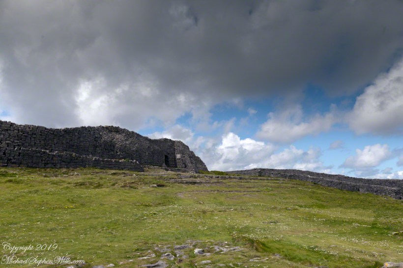
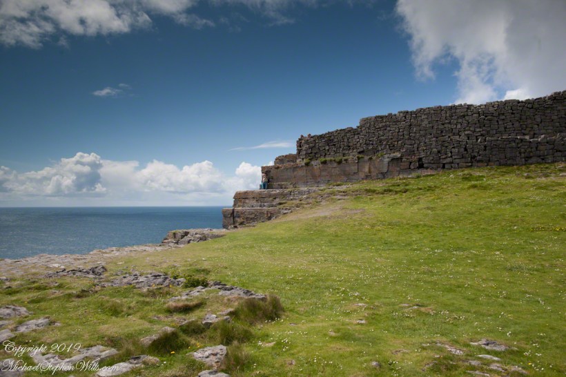
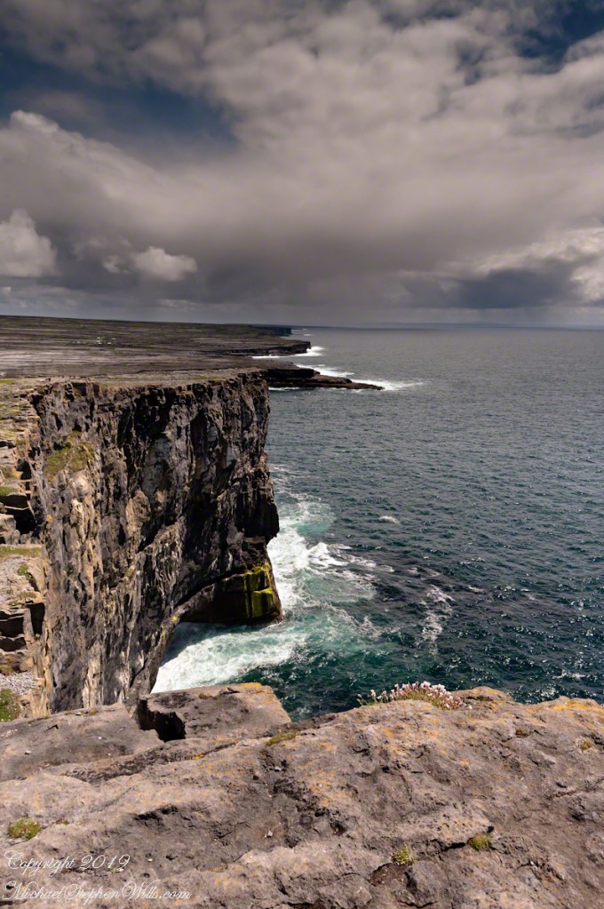
Kilronan bibycle hireView from a horse drawn trap headed down Cottage Road toward the village of Kilronan on a early June day, the island of Inishmore. On the right a stone ditch (wall), at the base the white flowers of Greater Burnet saxifrage (Scientific Name: Pimpinella saxifraga) (Irish Name: Ainís fhiáin). A steeple with bell and cross just visible. In the distance is the island of Inishmaan, the North Atlantic and Galway Bay. Aran islands, County Galway, Ireland.This ruined church is on the right side as you travel Cottage Road out of Kilronan Village, Inishmore, County Galway, Ireland. The distant highland is Inis Mann, across Galway Bay. A curious horse looks over a wrought metal gate set in a dry stacked limestone wall.Riding a horse and trap on Cottage Road from Kilronan village, Inishmore, Aran Islands, Country Galway, irelandThose bicyclists could have been us.This thatched cottage with matching child’s playhouse is on Cottage Road out of Kilronan Village on the Aran island, Inishmore, County Galway, Ireland.Roadside daisies on Cottage Road out of Kilronan village, Inishmore, Aran Islands, County Galway, IrelandNorth view from Cottage Road overlooks walled fields, karstNorth view from Cottage Road overlooks walled fields, karstAn island cottage among fields along the Galway Bay coast, the twelve pins of Connemara beyond.An island cottage among fields along the Galway Bay coast, the twelve pins of Connemara beyond.We stopped for lunch and a present for my son, a sweather purchased from the woman who knitted it.SONY DSCThe view is looking southwest from the path leading to Dun Aonghasa in springtime. We see here dry stone wall of limestone laid in a pattern suggestive of herringbone, splotches of orange lichen mark the stones. Against the wall is growing a variety of plants. The prominent white flowers are Greater Burnet saxifrage (Scientific Name: Pimpinella major) (Irish Name: Coll an dromáin). Beneath are leaves of Wild Strawberry (Scientific Name: Fragaria vesca) (Irish Name: Sú talún fiáin) as well as fern and grass. Beyond the wall is karst landscape rising to the ridge. Above the ridge, storm clouds gather. Inishmore, Aran Islands, County Galway, Ireland.This defensive structure called a Cheval de fries field surrounds Dun Aonghasa (Dun Aengus). This northwest view looks across the field and surrounding defensive walls. It is an early June day and, in the foreground, are colorful wildflowers among the limestone shards and blocks. Inishmore, Aran Islands, County Galway, Ireland.Looking North, Northwest across the slopes below Dun Aonghasa (Dun Aengus), InishmoreWalled Path to Dun Aonghasa (Dun Aengus) with Island Landscape, InishmoreKarst landscape with Green Field and Clouds, InishmoreInishmore LandscapeKarst Landscape with Interior Walls of Dun AonghasaDetail of Dun Aonghasa Dry Stone Wall with White Flowers of SeaAncient Fort Entrance, Dun Aonghasa (Dun Aengus)Ancient fort wall with tourists and Cliff Edge of Dun Aonghasa (Dun Aengus)View east, southeast from the Cliff Edge of the Ancient fort walView east, southeast from the Cliff Edge of the Ancient fort walRoadside Shrine and Island Landscape, Inishmore, Aran Islands, County Galway, Ireland
Copyright 2019 All Rights Reserved Michael Stephen Wills
From the commanding location of Dun Aonghasa, looking northeast across Inishmore island, we can understand why the ancient builders chose this location.
We also see the transition from exposed limestone to the fields built literally from the ground up (see my post “The How of Soil”). For a closer view of island houses see my posts “Settled In” and “Cottage Road Cottage.”
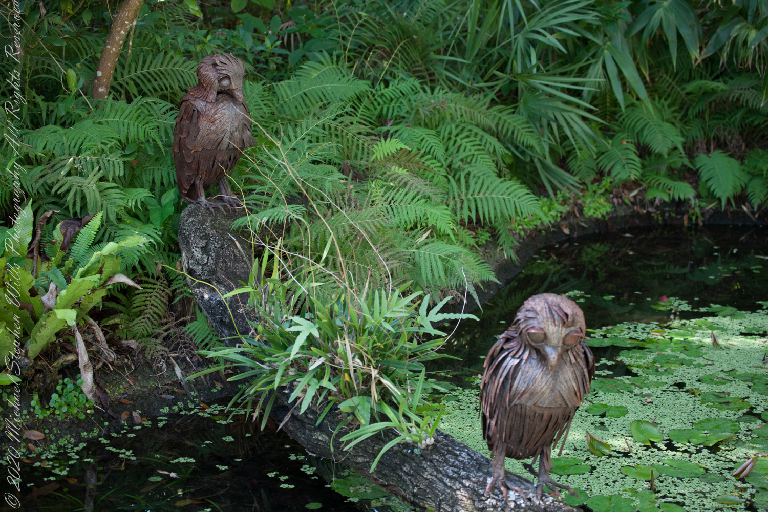
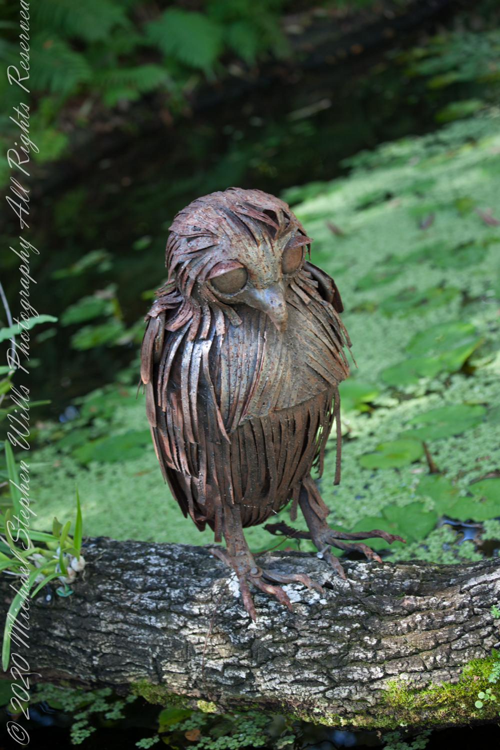
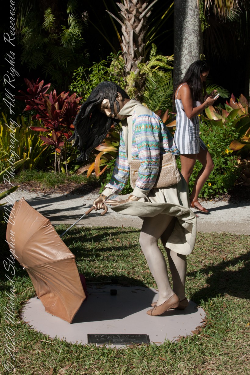
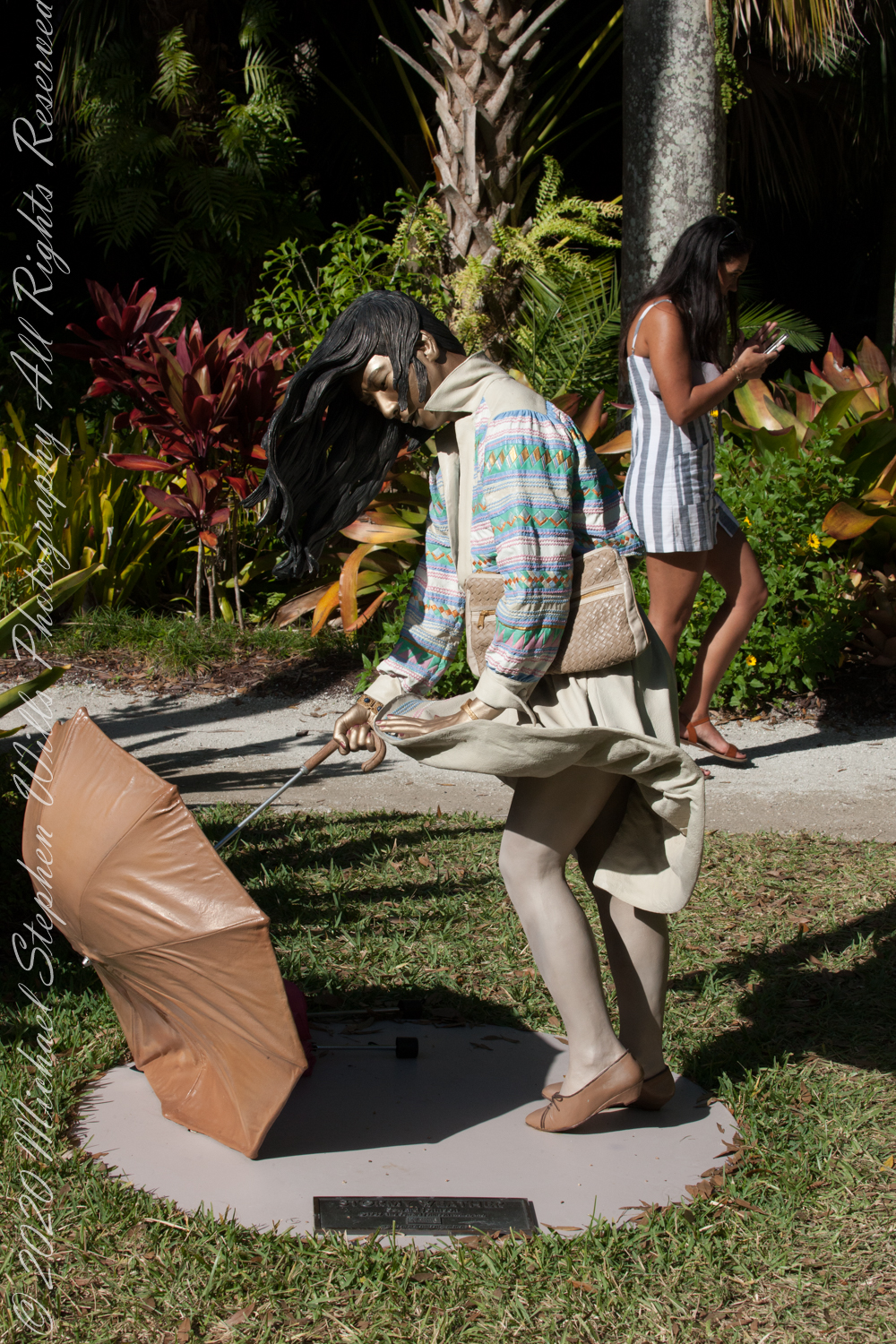
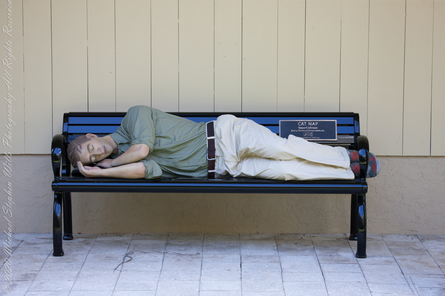
My final Seward Johnson sculpture posting opens with a piece of uncertain authorship, I just know it was not installed for our second 2020 visit just before COVID-19 hit.
“untitled”
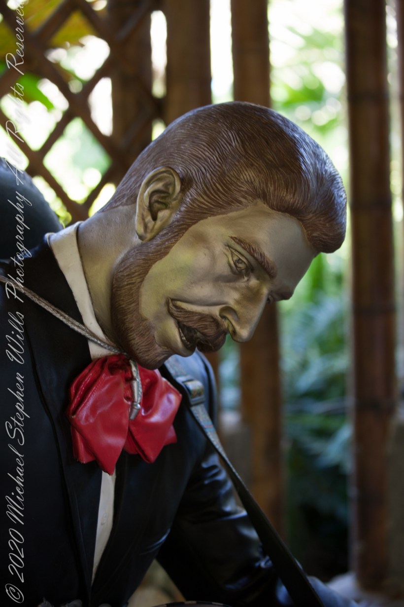
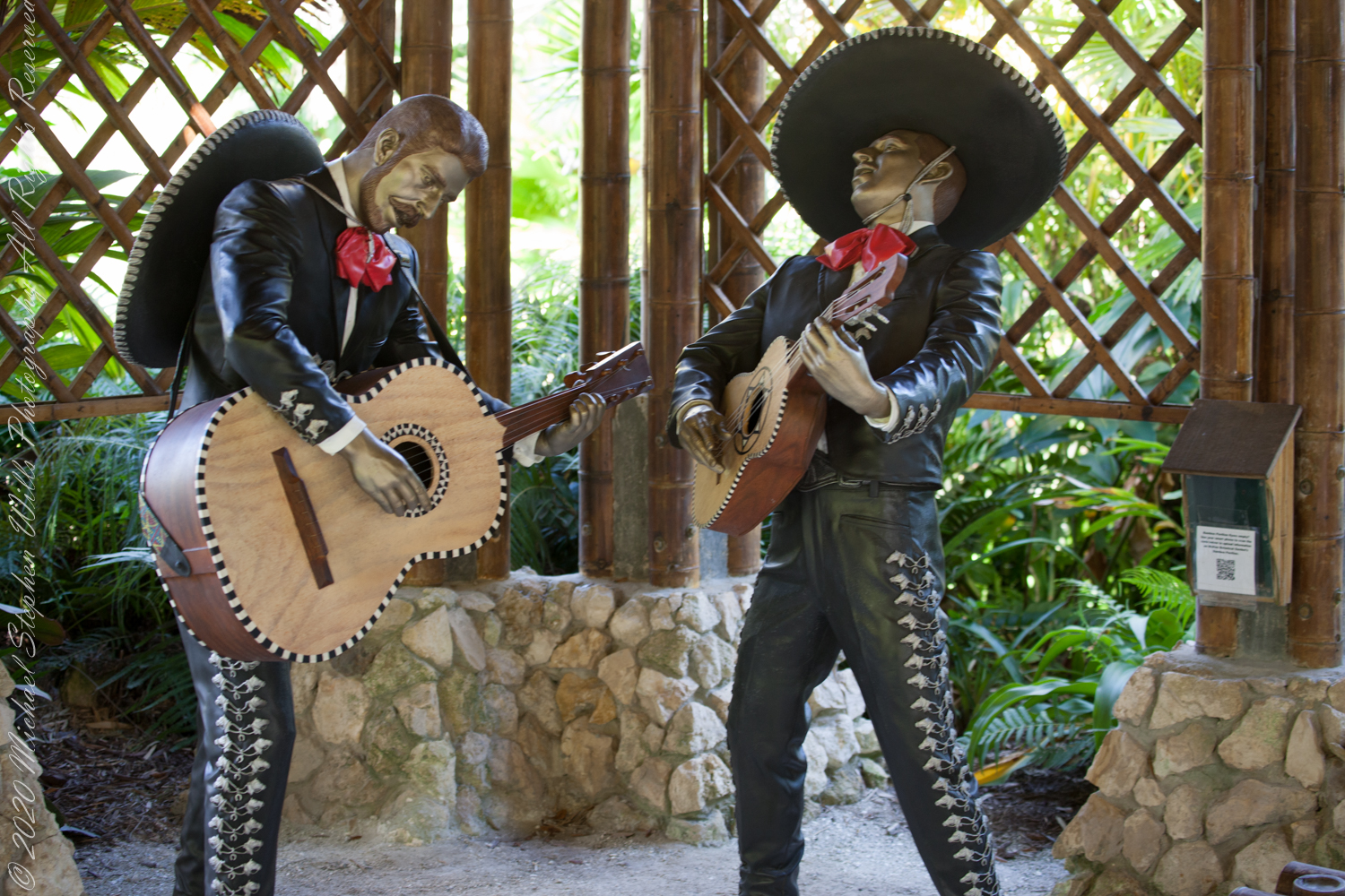
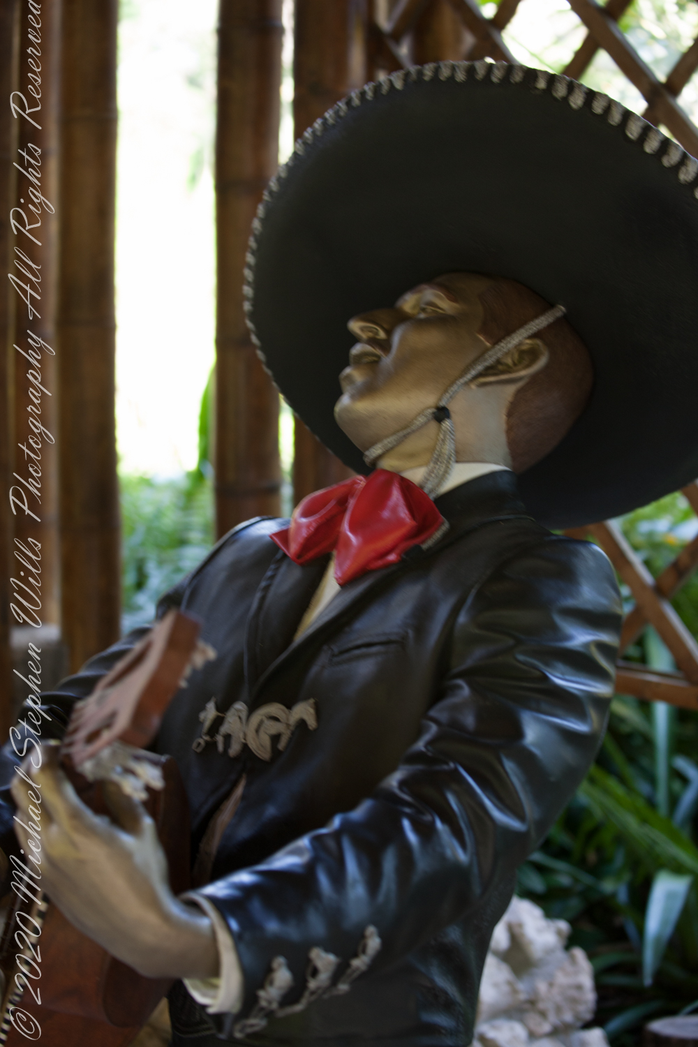
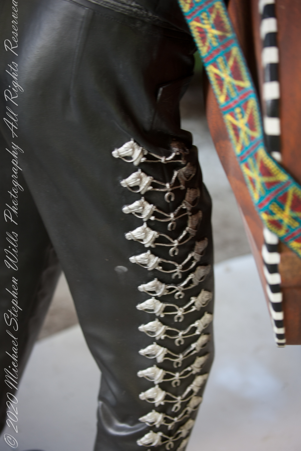
“Los Mariachis”
Here we have a dynamic group, I can almost hear the music.
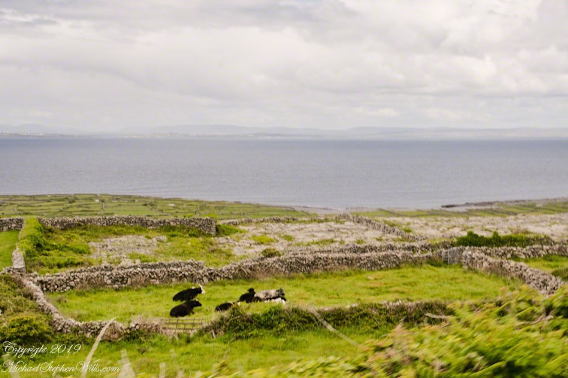
Enjoying travel on a horse trap, a type of carriage, on Inishmore (Inis Mór), the largest Aran Island in Galway Bay we headed up Cottage Road from Kilronan, the main island settlement. It was there we embarked from the Doolin ferry, hired the driver, his horse drawn trap. Our destination an iron age fort, Dun Aengus (Dún Aonghasa, the Irish language name) and the sights along the way.
The feeling of this blurry photograph is too good to let lie. I just kept snapping away from the moving carriage, here we are descending a hill and moving a bit faster, the elevation provides this view of Galway Bay, Connemara and the Twelve Pins beyond.
There’s a gate in the cow field, though some fields with cows were gateless. There is a simple answer to the mystery. At one point our driver stopped by his field and and demonstrated how the wall is pulled down to make an opening, the rocks stacked to make this easy. When the cows are in, the rocks go back up, a matter of 10 minutes or so to make a cow-width passage.
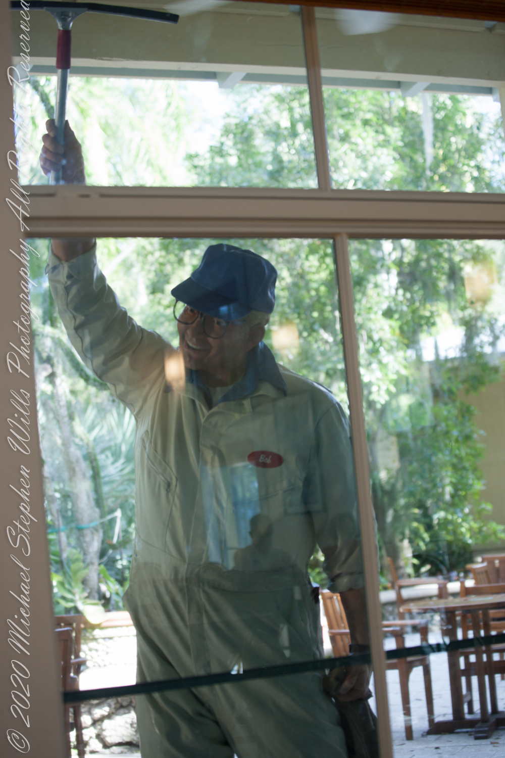
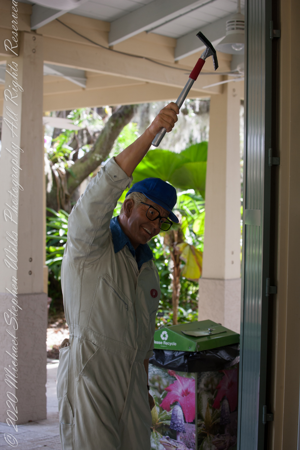
This set starts off with a nice guy at work. He was positioned on the large cafe windows. We met the grandchildren around lunch time, so we caught up around the food.