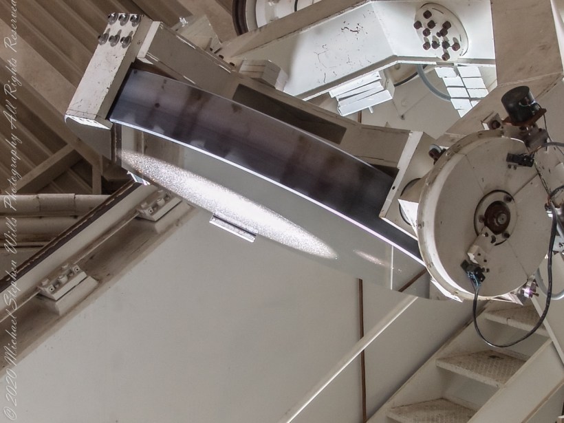
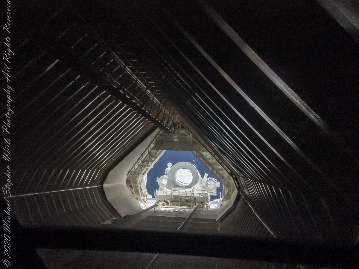
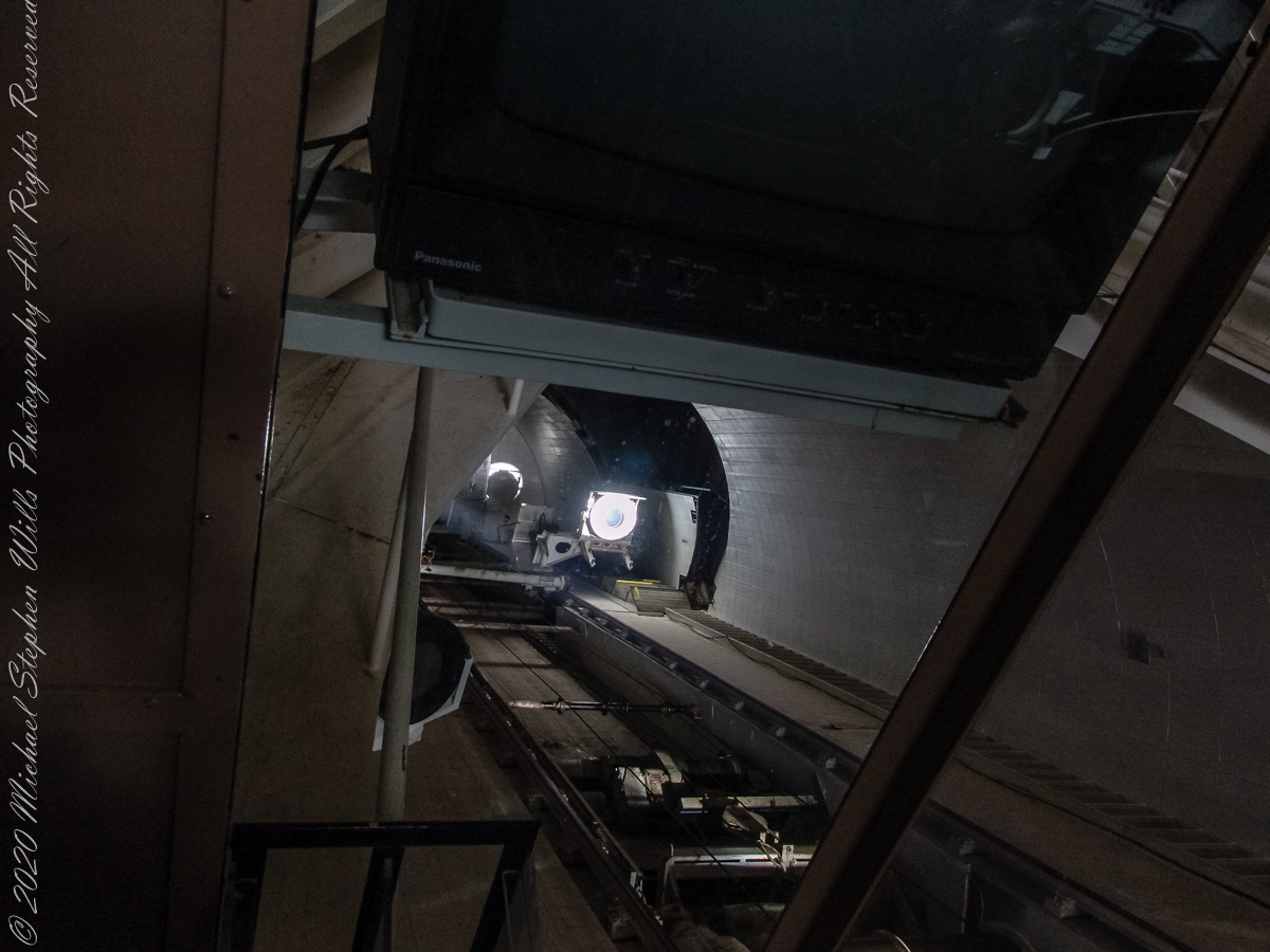
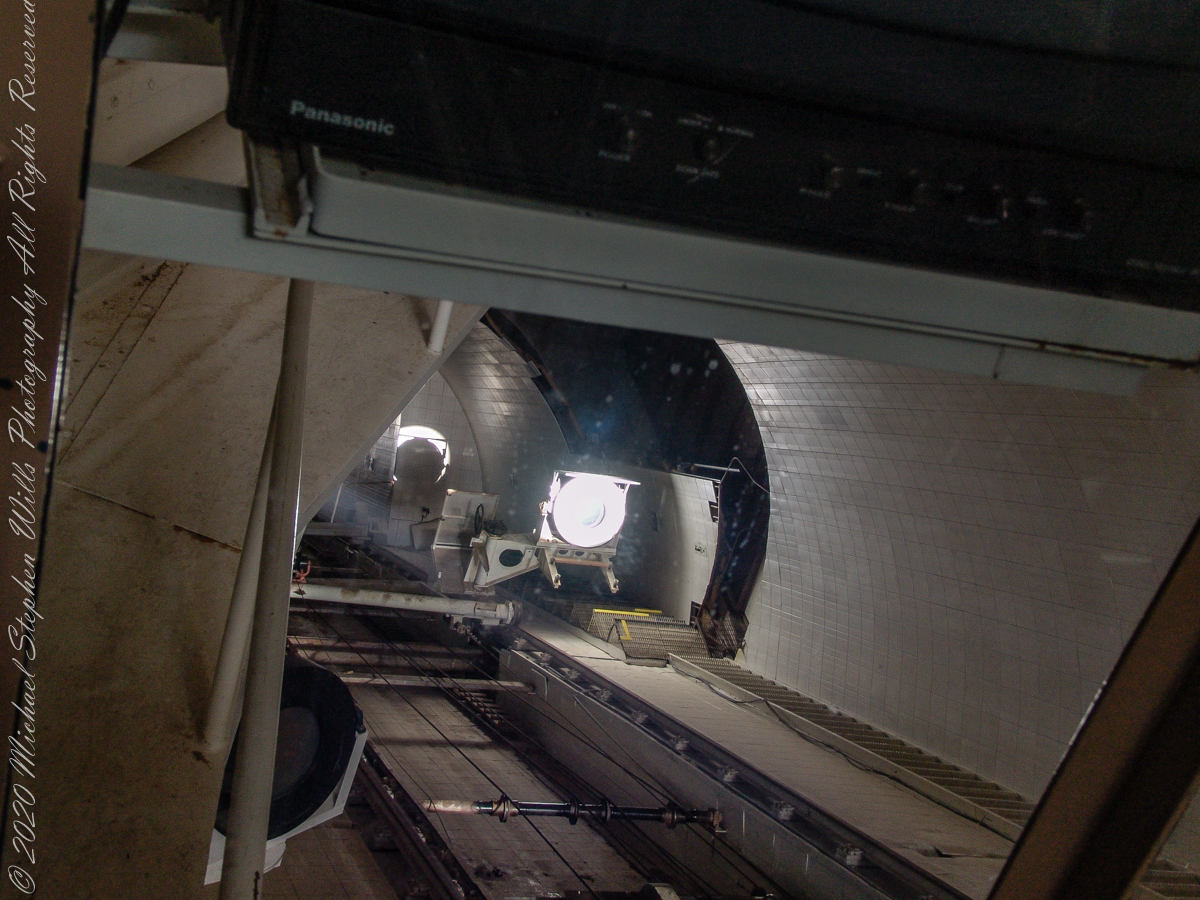
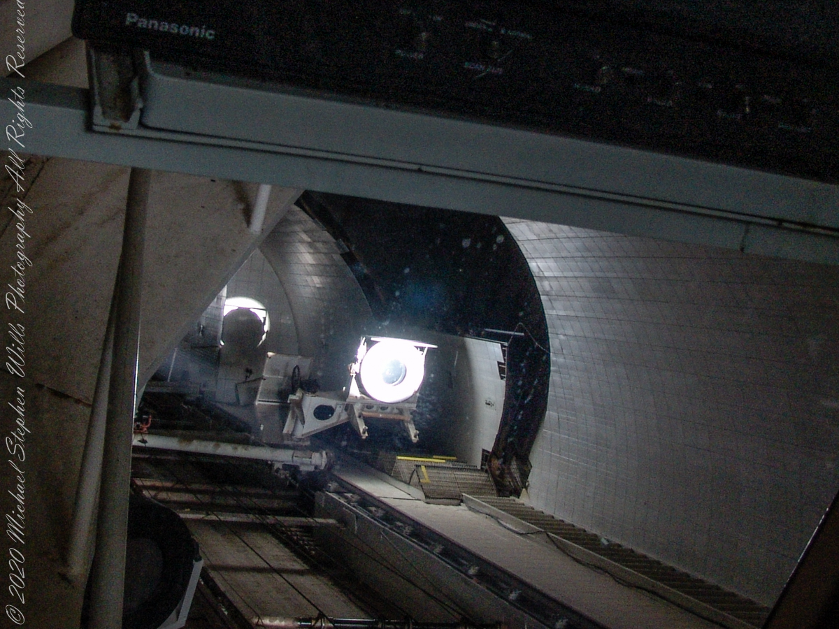
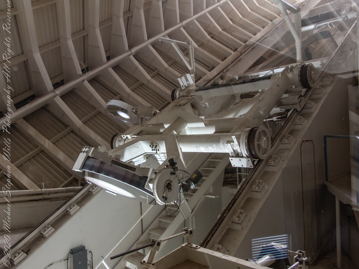
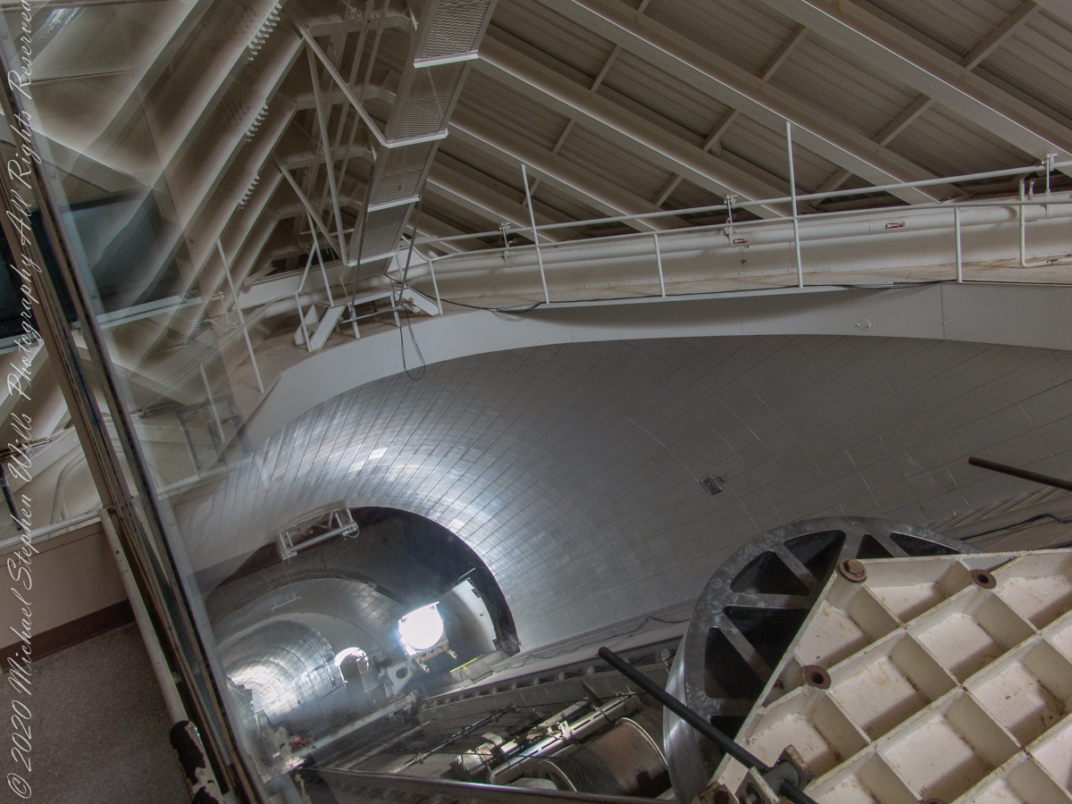
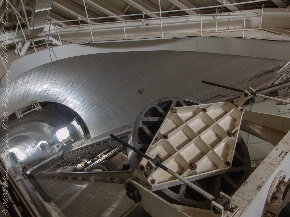
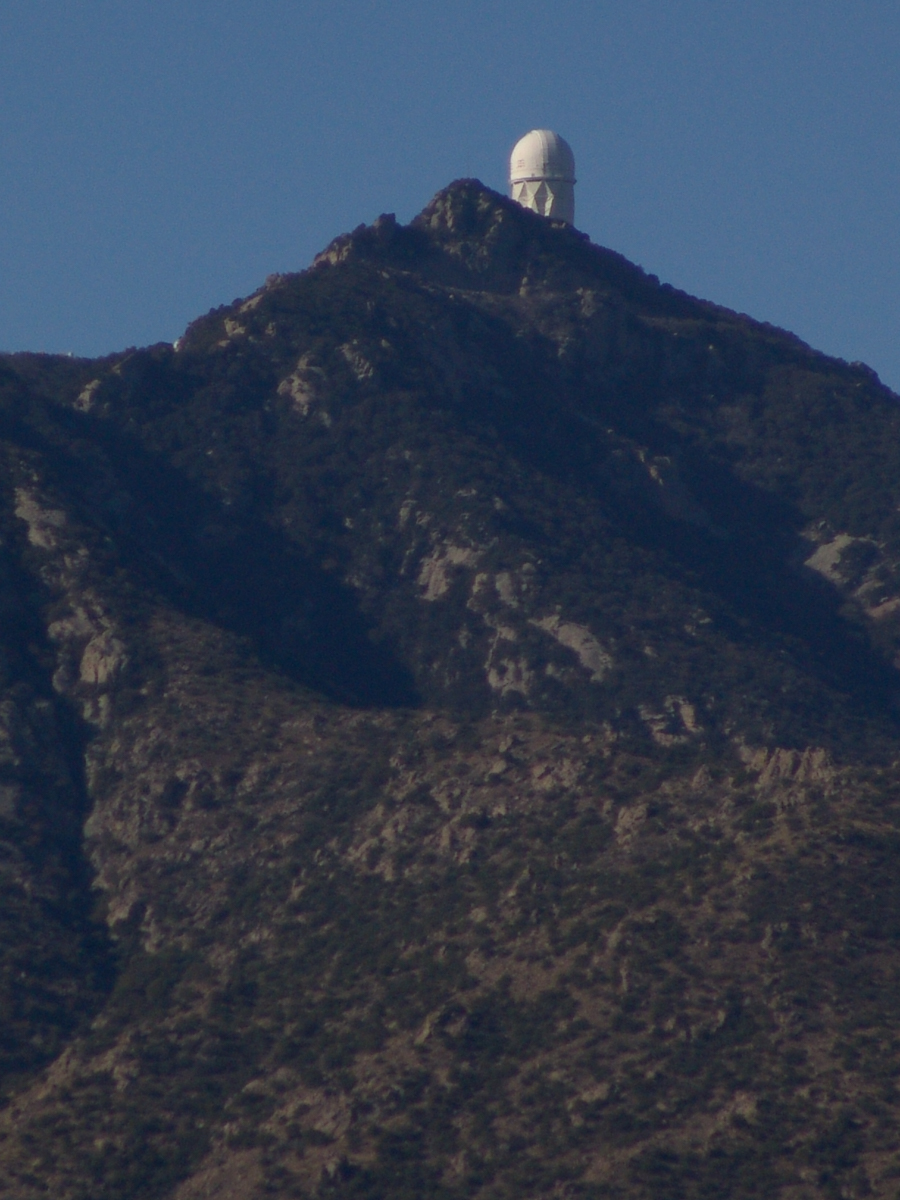
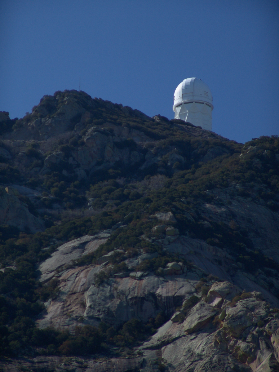
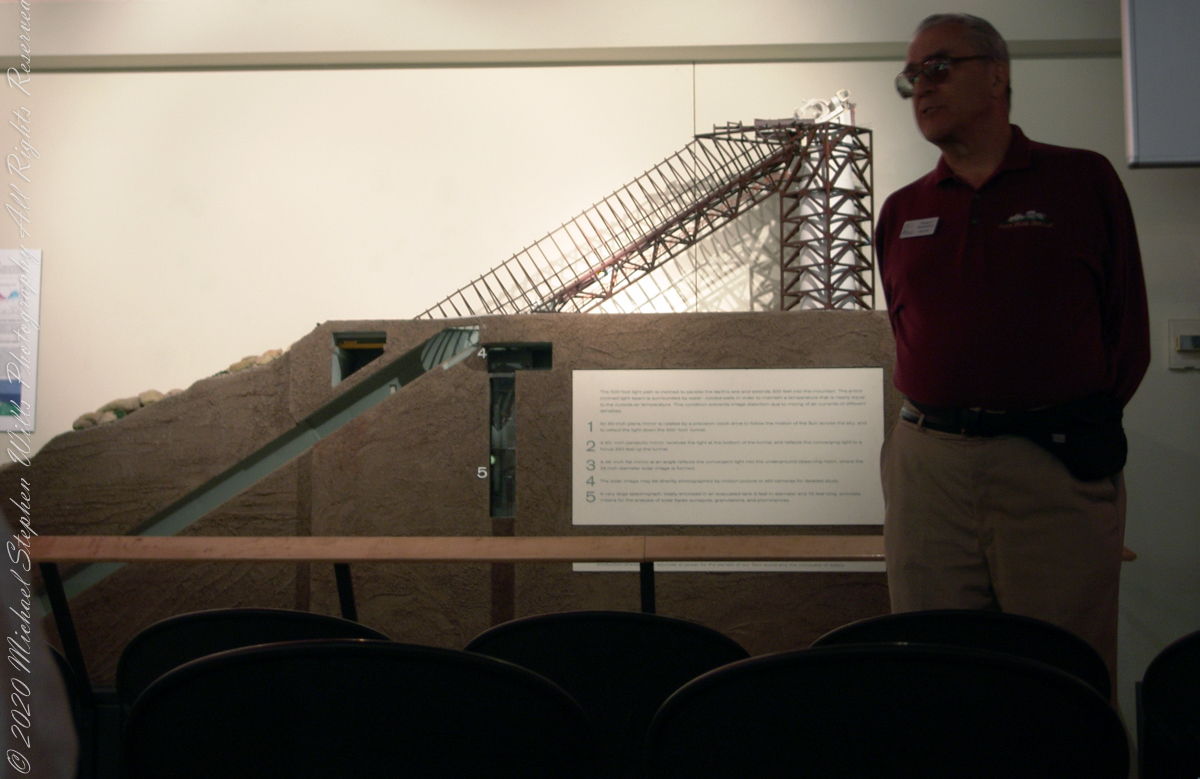
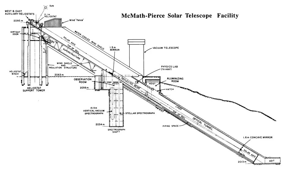
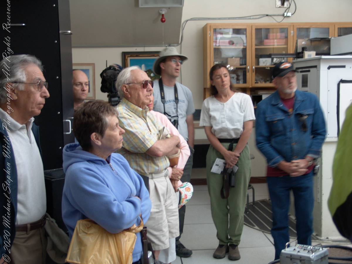
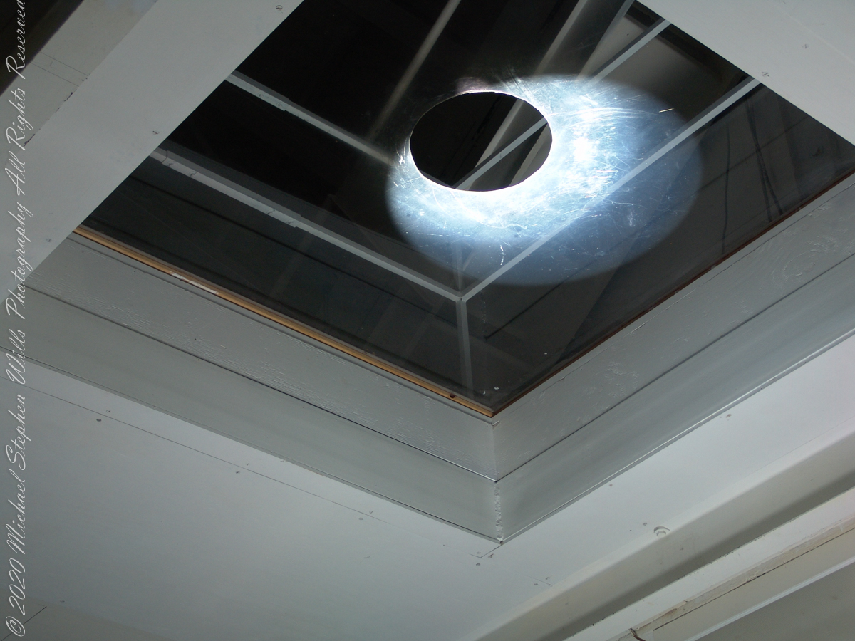
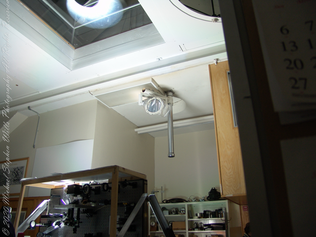
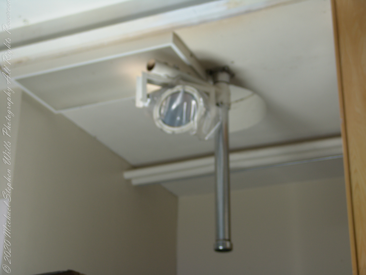
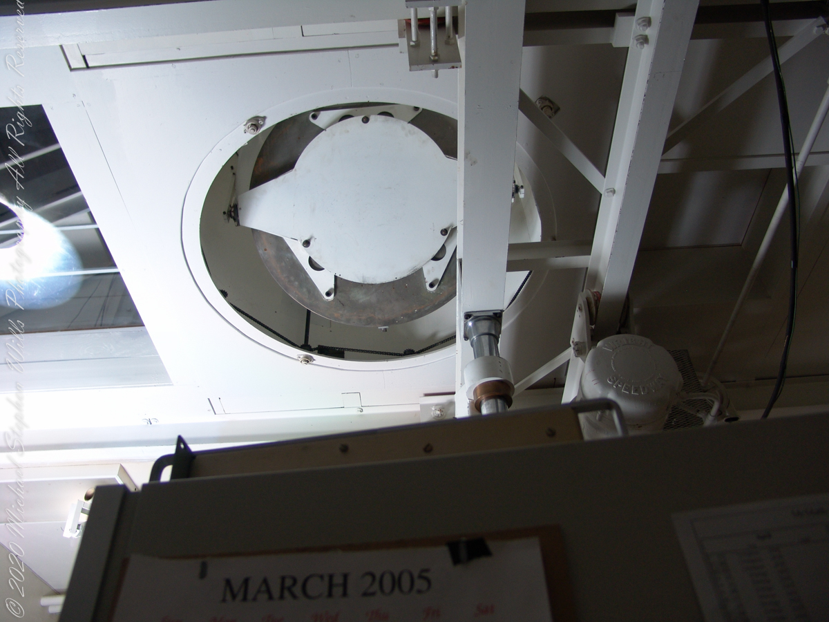
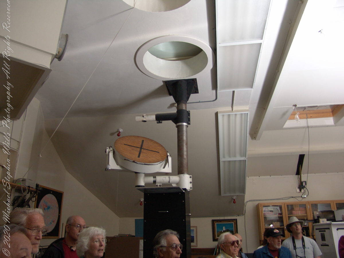
These views within the McMath–Pierce solar telescope enclosure were captured during a guided tour of the instrument, April 20, 2005. By way of orientation, the observation room we visited is near the location labeled “4” on the model of the following photograph or the “Observation Room” of the drawing.
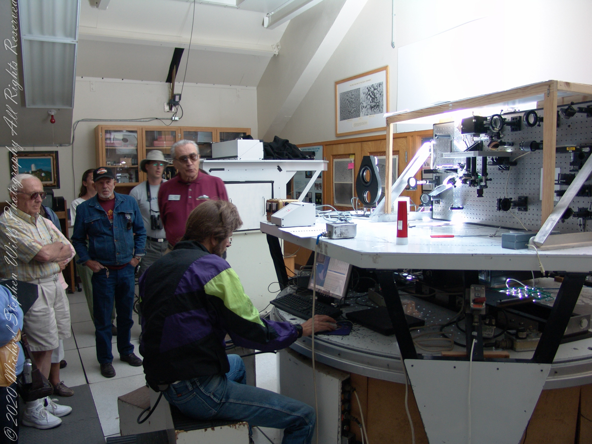
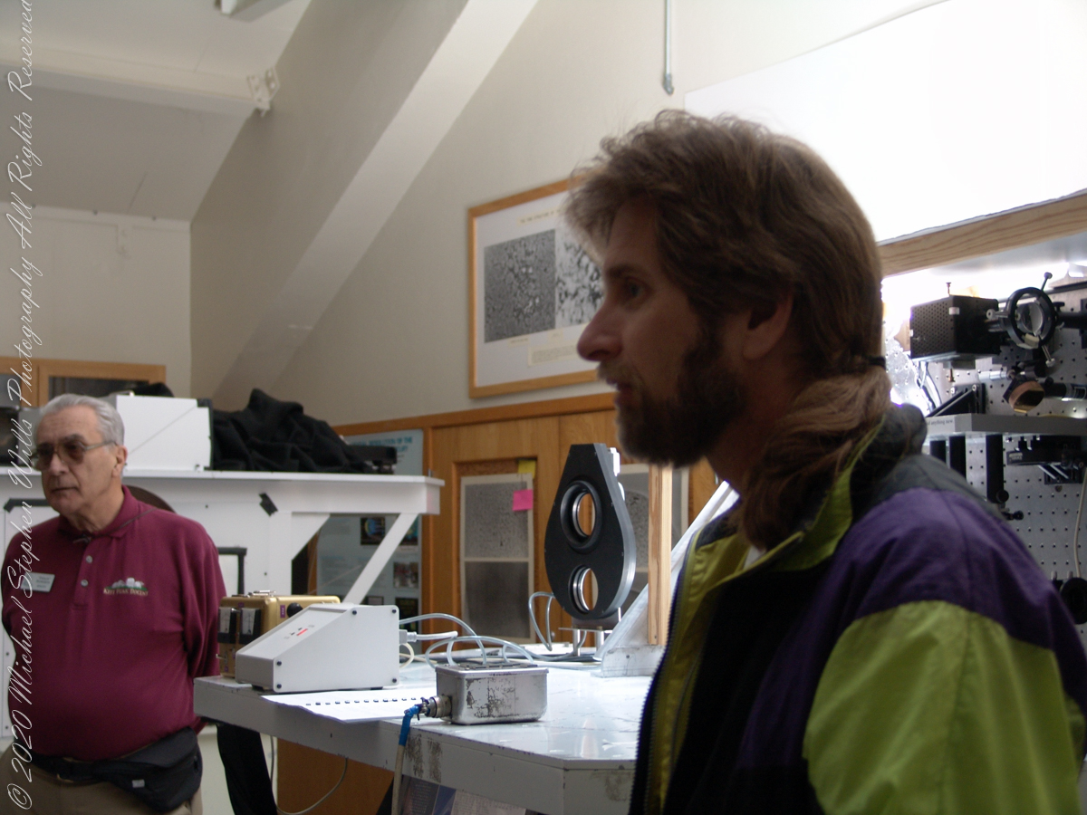
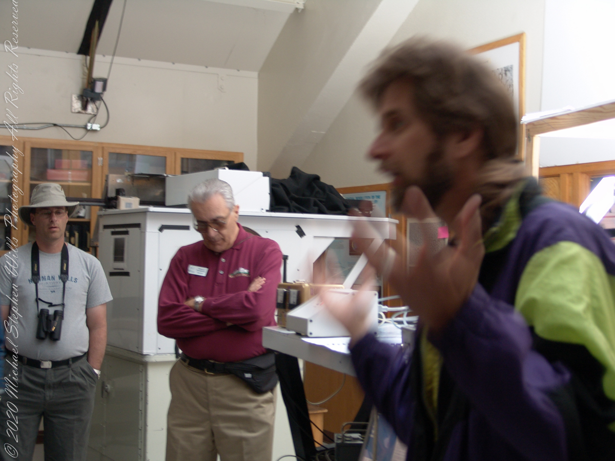
We learned each of the sets of mirrors is considered a separate telescope. The first step in designing the new solar telescope was to determine the optimal image scale. Working on the spectra of the solar granules, on the physical structure of the sunspots and their associated magnetic fields, requires a considerable image size. Past experience has shown that the optimal image of the sun should be approximately 0.91 meters. The highlight of our visit to the Main Observation room was meeting with the technician operating the recently developed low-cost adaptive optics system.
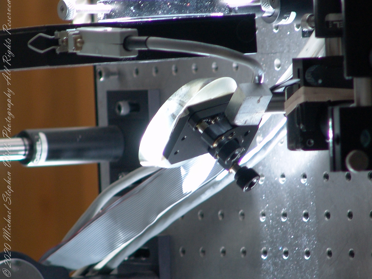
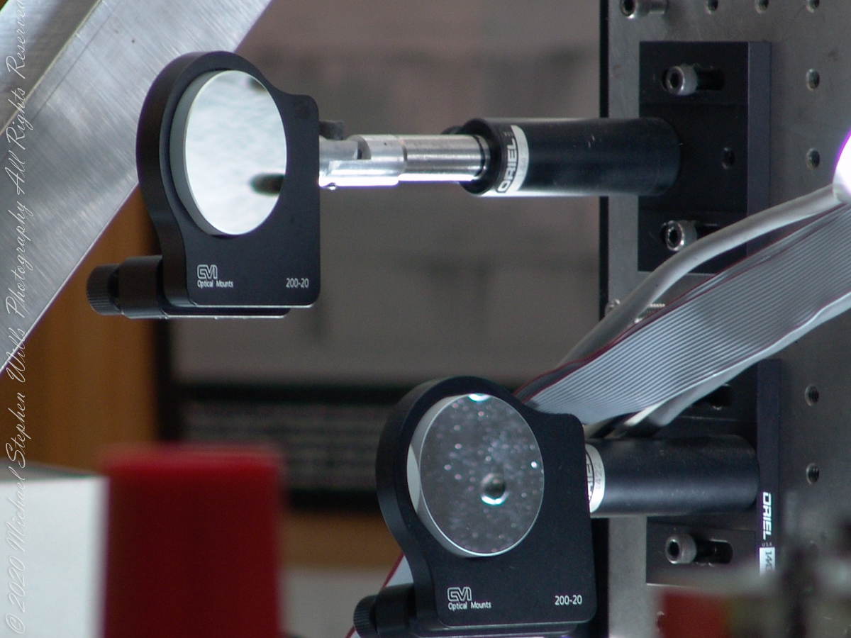
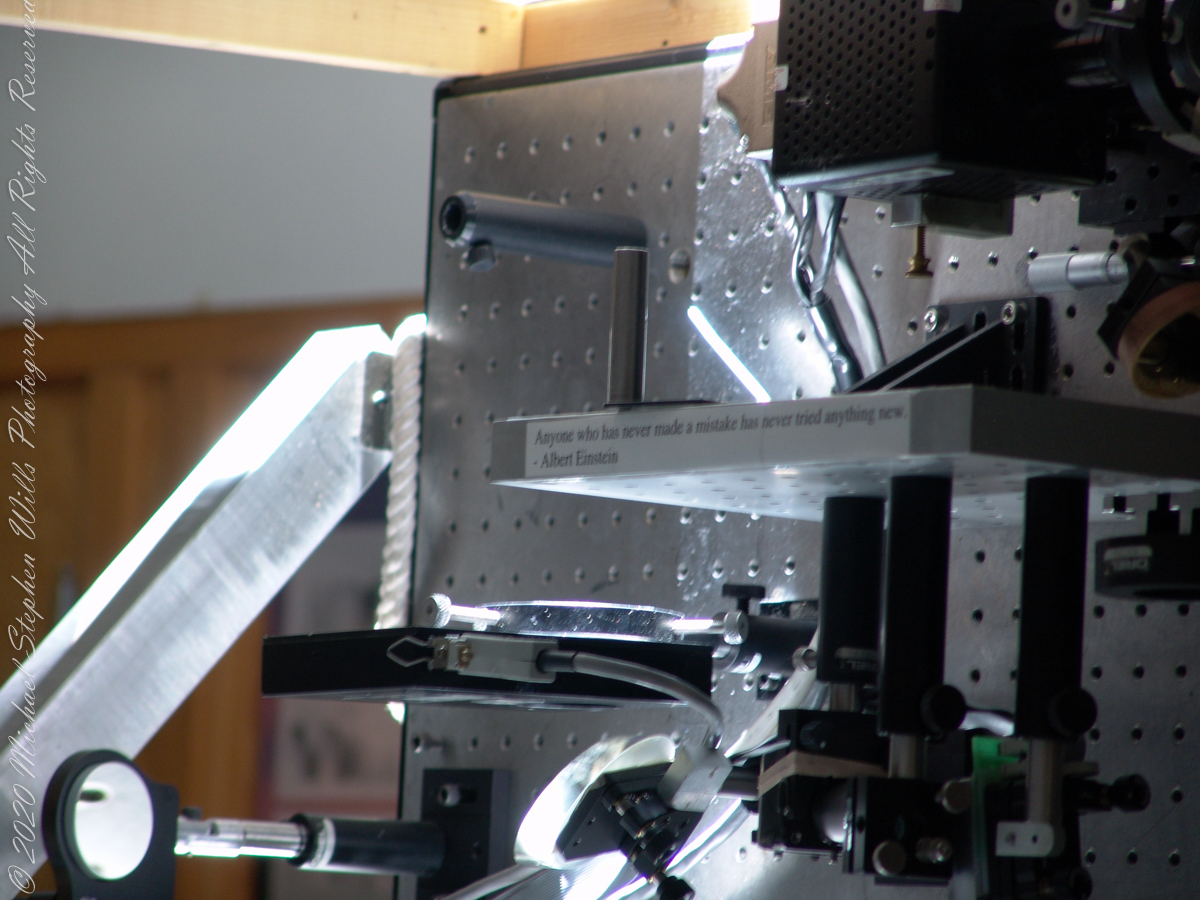
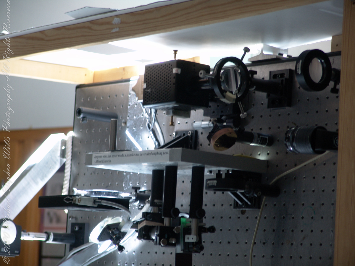
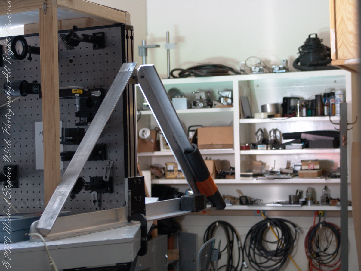
Tip-tilt correction and low order wavefront correction is available with a number of portable optical benches. These are primarily used with the Main spectrograph and the Solar Stellar spectrograph on the Main telescope, but due to their compact mounting they could be used with other telescopes and instruments in the facility.
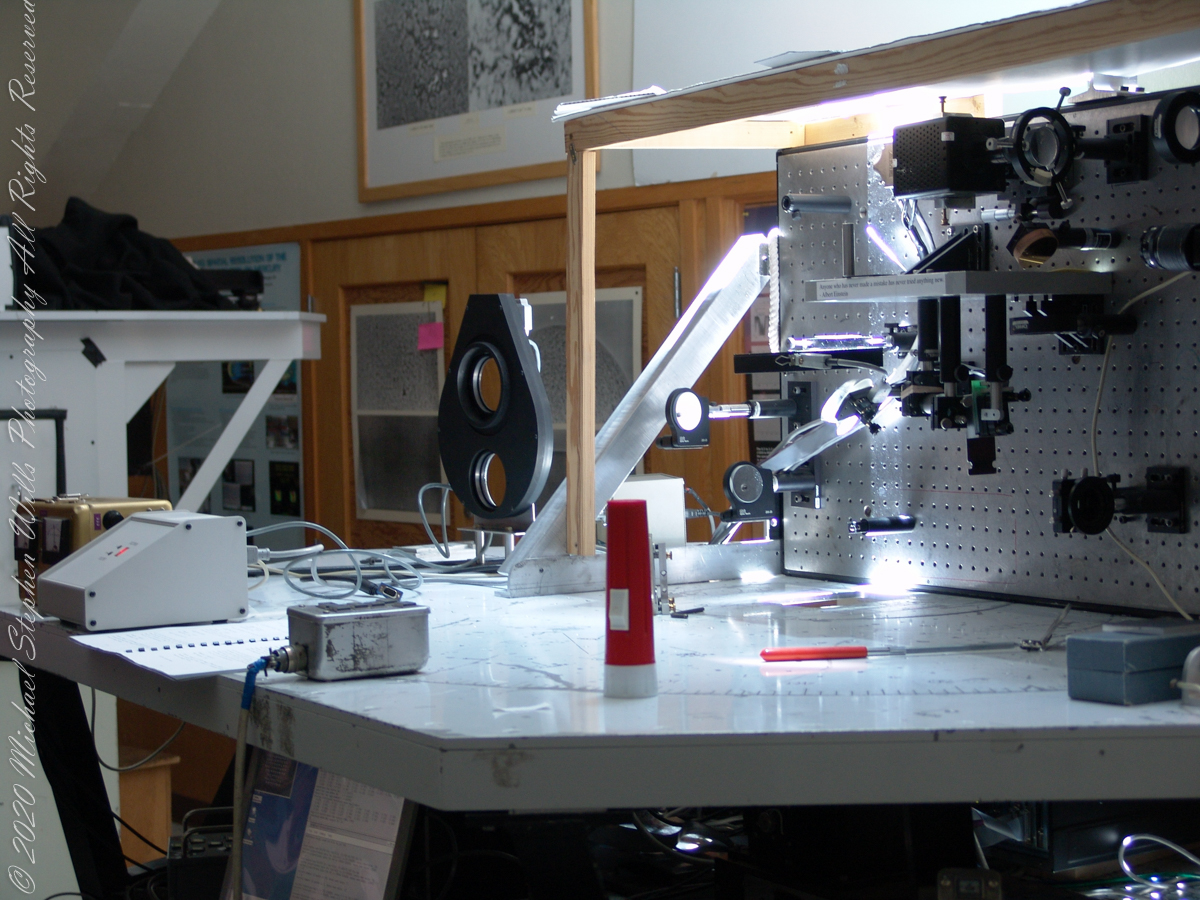
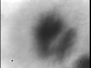
This configuration uses a rapidly deformable mirror to correct distortions introduced by the turbulent atmosphere. Using sensors to measure the degree of image distortion, the adaptive optics system adjusts the shape of the mirror accordingly and converts a blurred image into a clear one. The following image demonstrates the correction. “Low-cost” = $25,000 in 2003 US dollars. Under references is a link to a full description of the device by the creator.
A main area of study in the observatory is the structure of sunspots, which are relatively cold, dark spots on the surface of the Sun created by intense magnetic activity.
Some of the most important discoveries made at McMath-Pierce include the detection of water vapor in the Sun, the measurement of kilogauss magnetic fields (thousands of times stronger than those on Earth) outside sunspots and the detection of a natural maser (like a laser, but with a microwave instead of visible light) in the Martian atmosphere.
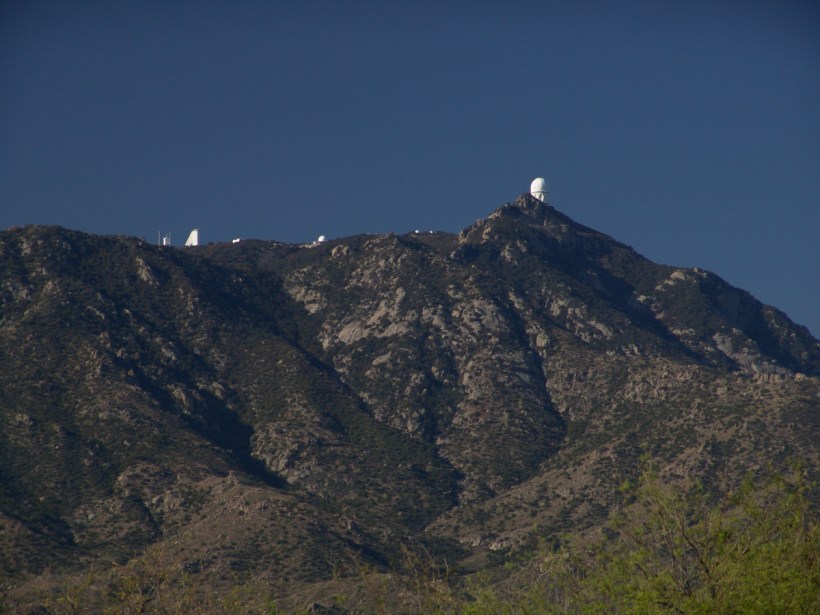
Over the years and technological advances, the National Solar Observatory has moved its headquarters from Tucson to Boulder, Colorado. The organization abandoned its solar telescopes at Kitt Peak and in New Mexico for a larger instrument in Hawaii, the Daniel K. Inouye Solar Telescope on the island of Maui, which began operating in 1919.
References:
Wikipedia “McMath–Pierce solar telescope”
“Low Cost Adaptive Solar Optics” by Christopoher Kellar
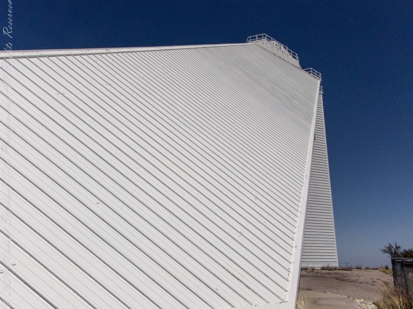
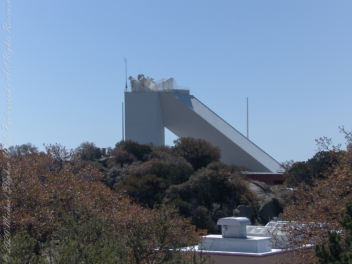
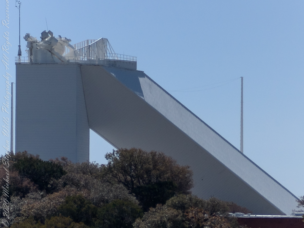
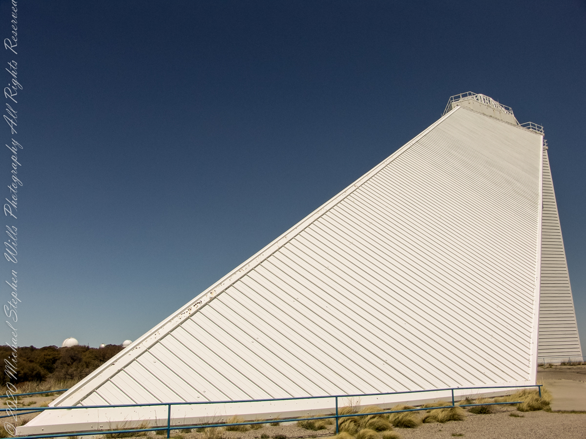
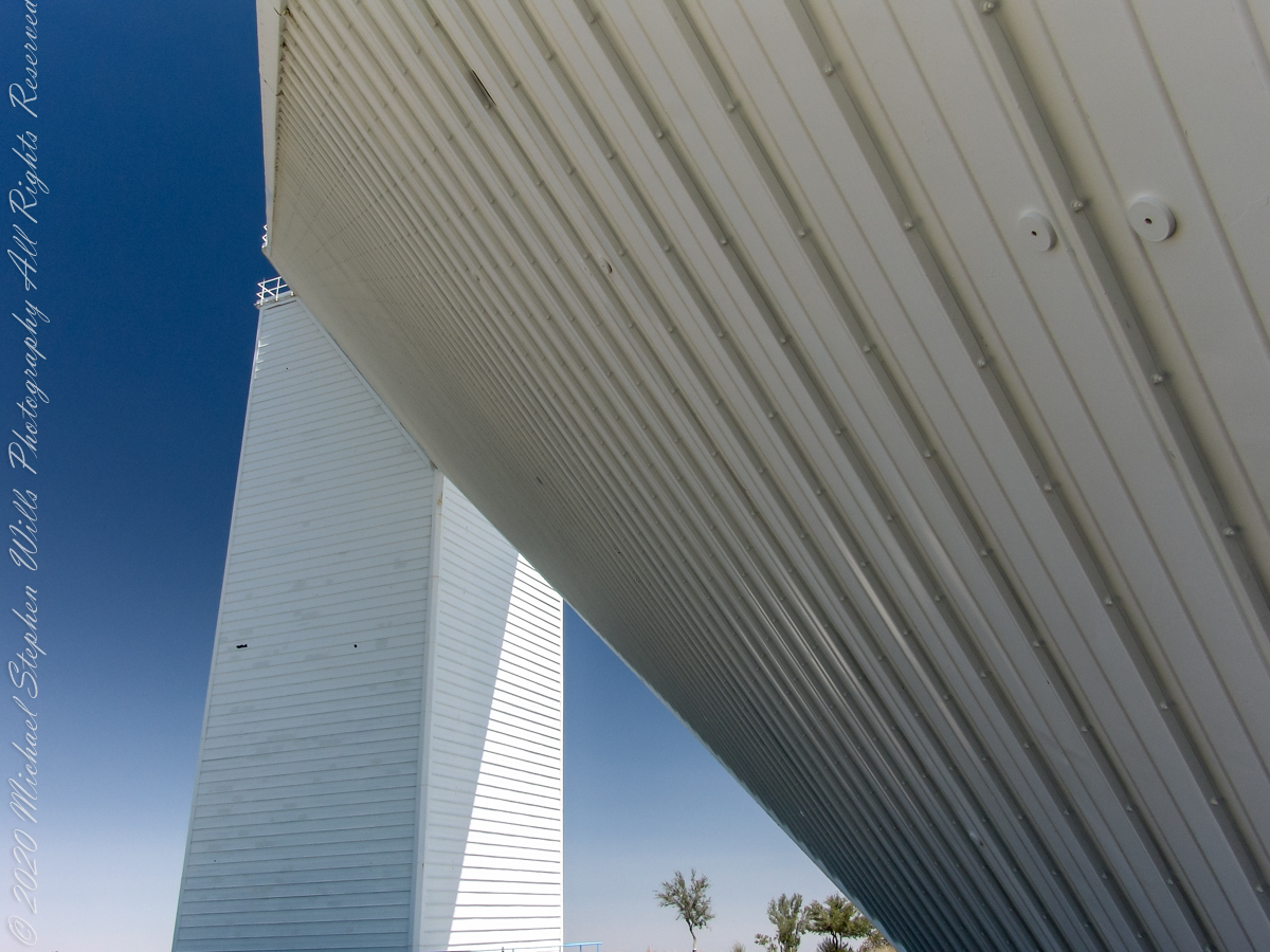
Insights into the architectural design.