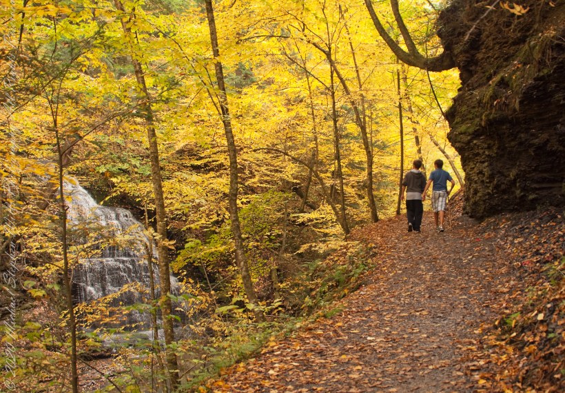
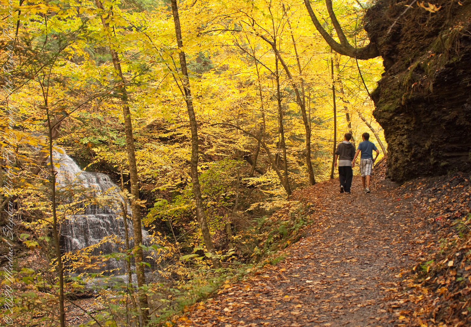
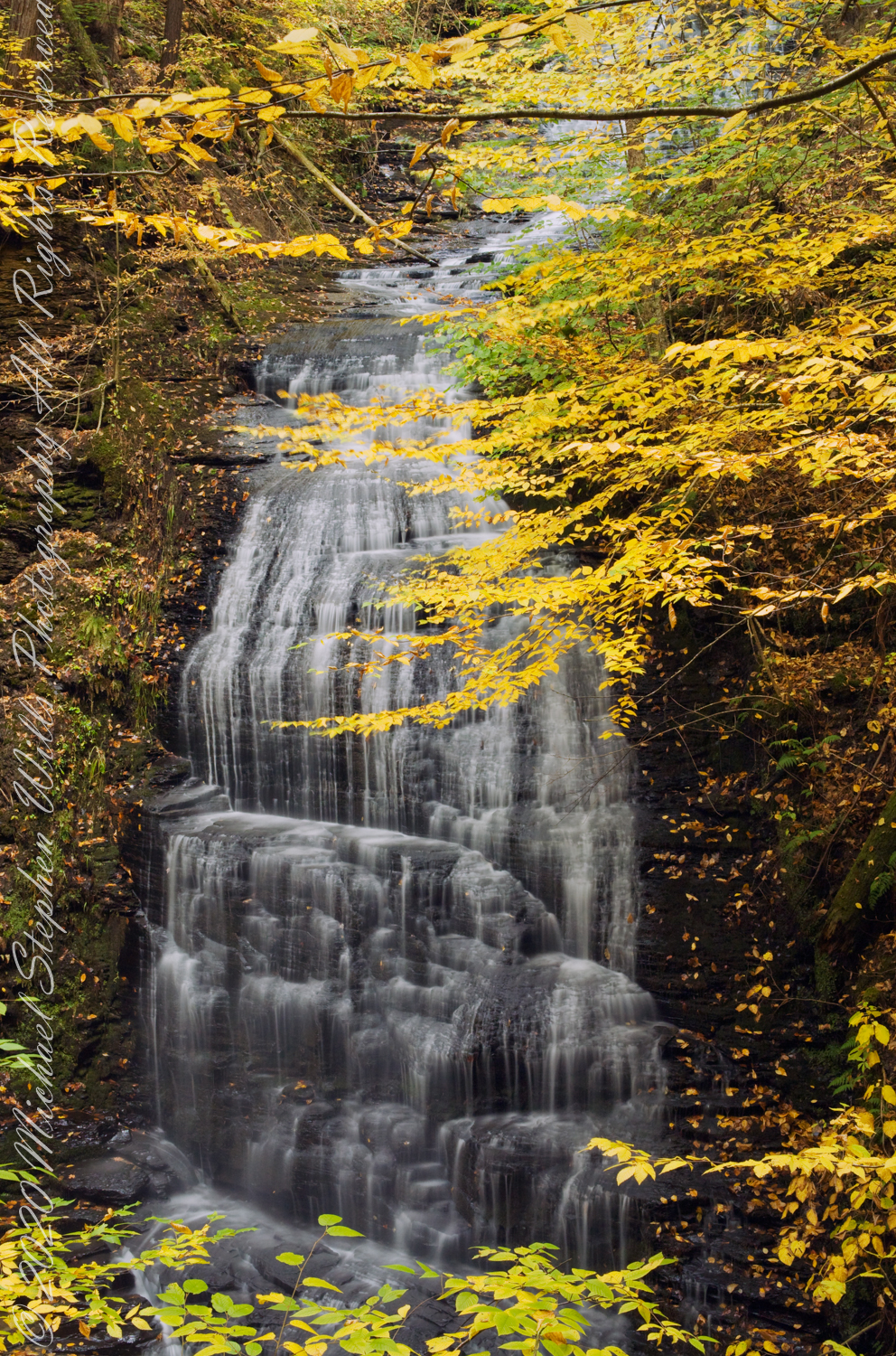
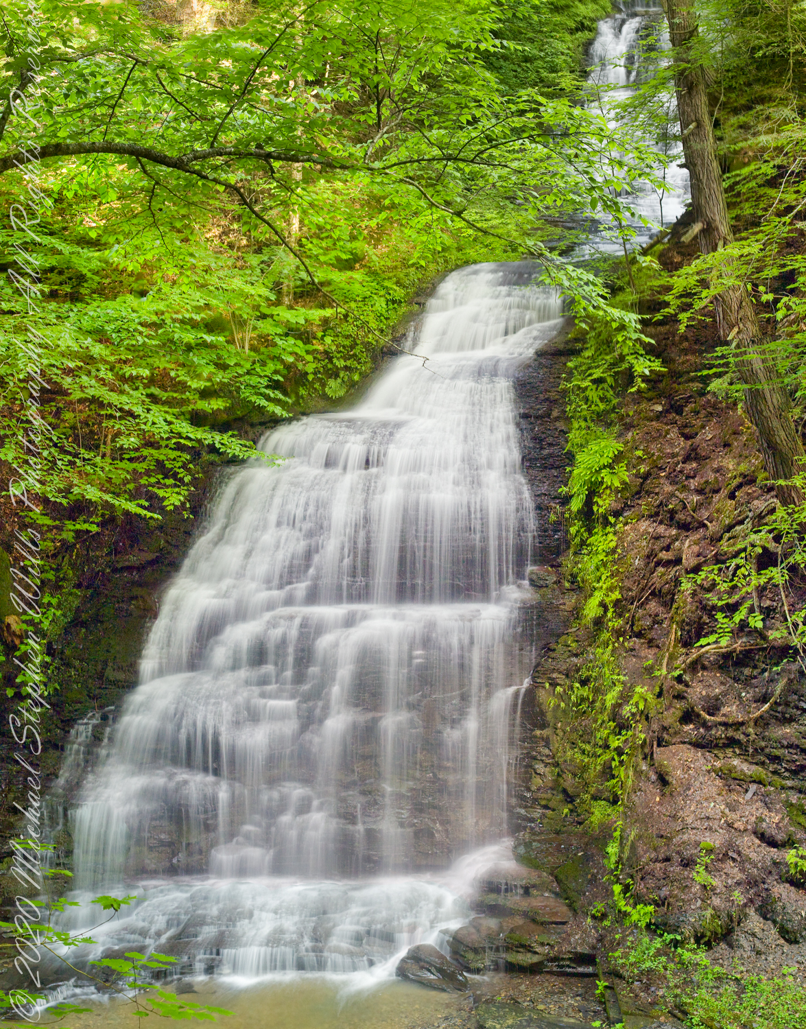
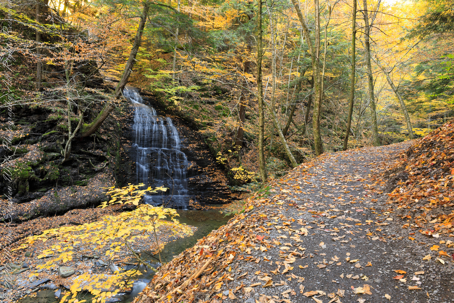
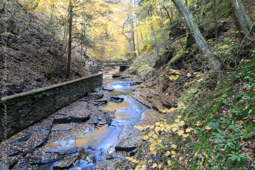
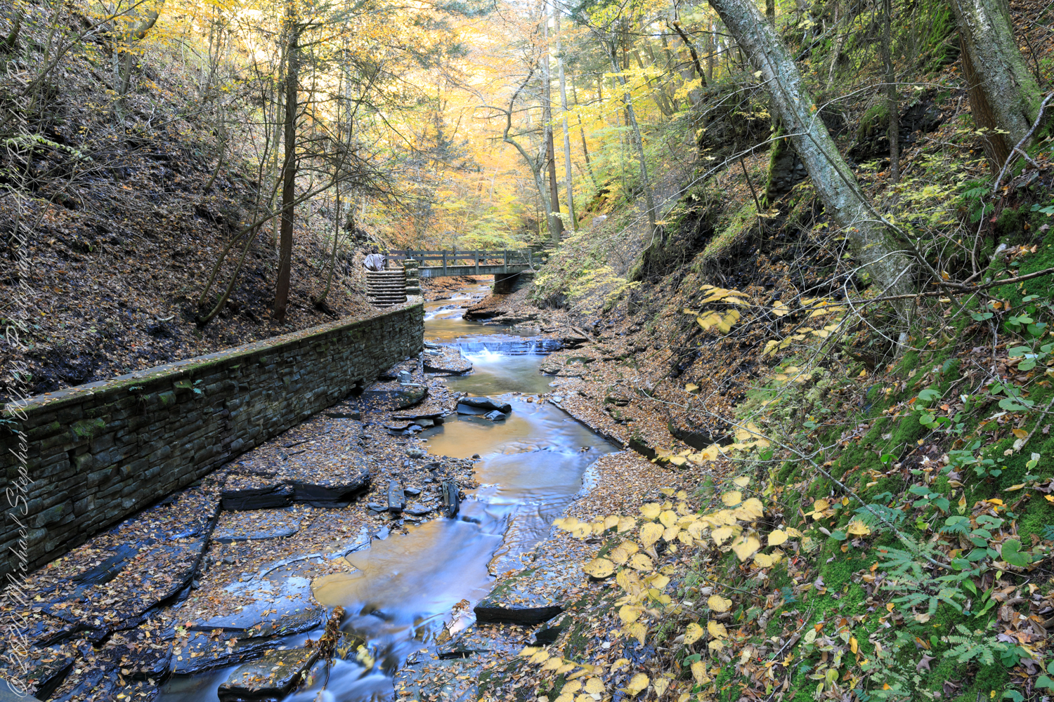
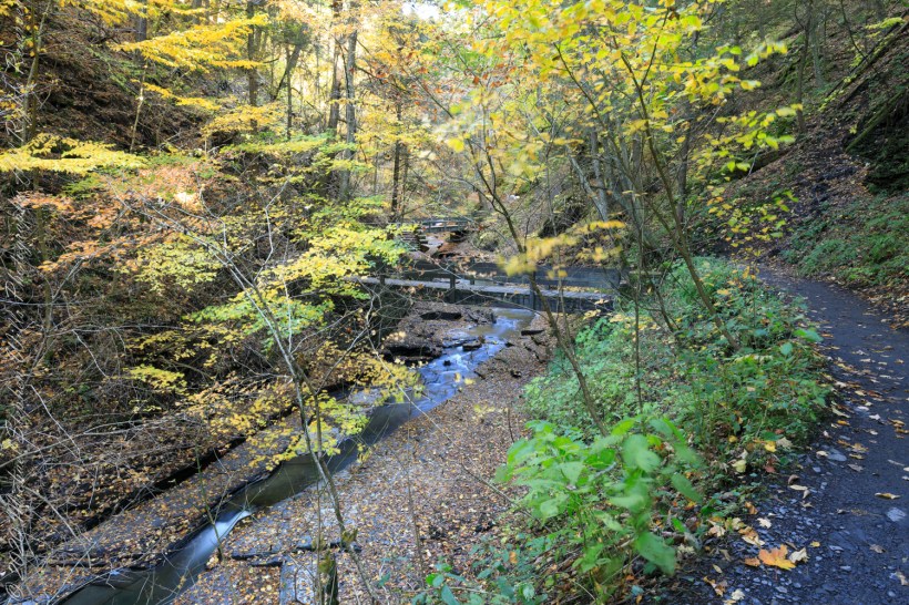
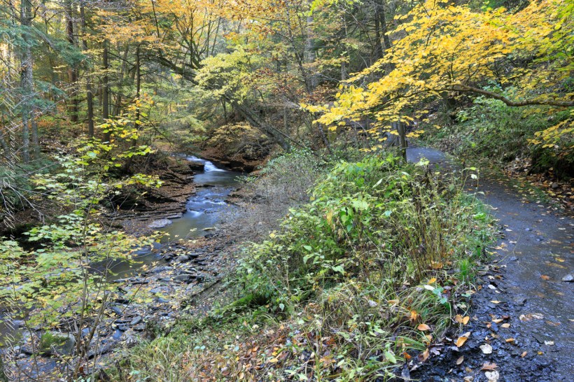
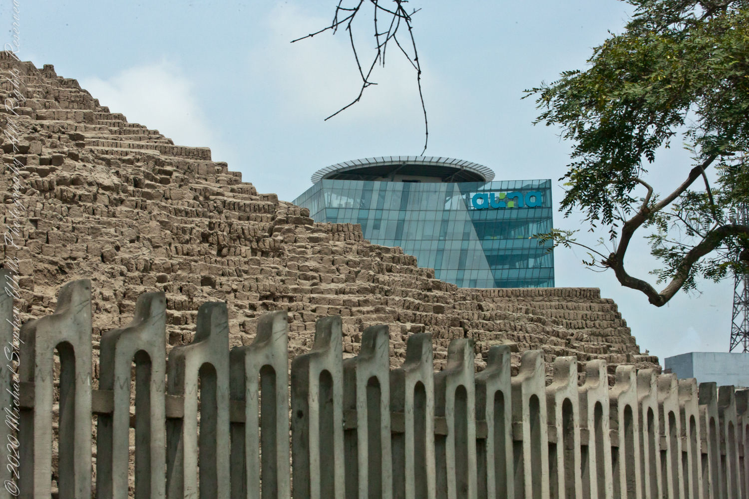
Between bridges six (6) and seven (7) on the Gorge trail a cascade comes down the canyon wall. Mid-summer this brook can dry out, the waterfall disappears leaving this spot naked of water.
Taken over a period of thirteen (13) years, the cascade was alive and well autumn-time. This year, after the summer drought our autumn rains were sparse, the flow is the lowest photographed.
“Friends”, Sony DSLR-A 700, variable lens set to 24 mm
Taken mid-October 2010, Kodak DSC Pro SLR-C, 50 mm lens
Taken late September 2009 before leaf turning, Kodak DSC Pro SLR-C, 50 mm lens
Autumn Peak 2022, Canon EOS 5D Mark IV, 24 mm lens
Copyright 2022 All Right Reserved Michael Stephen Wills
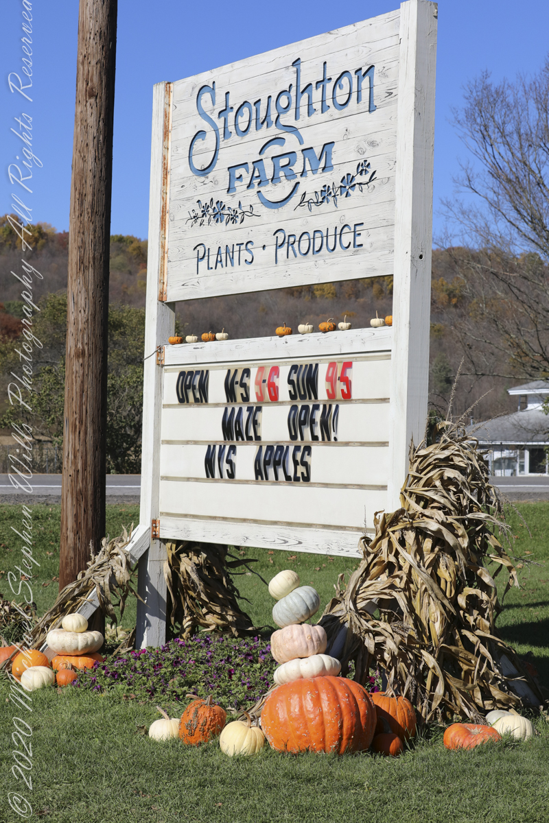
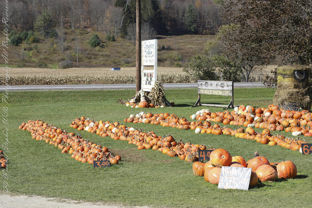
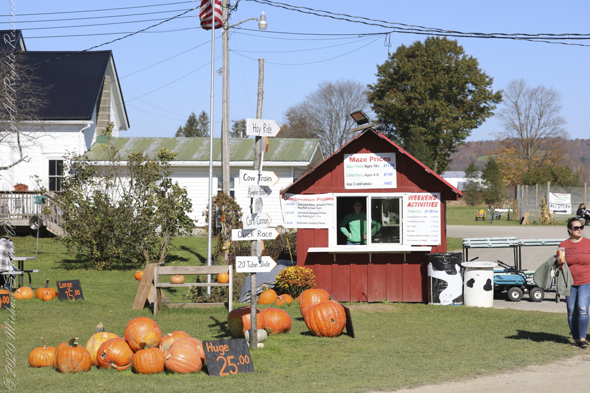
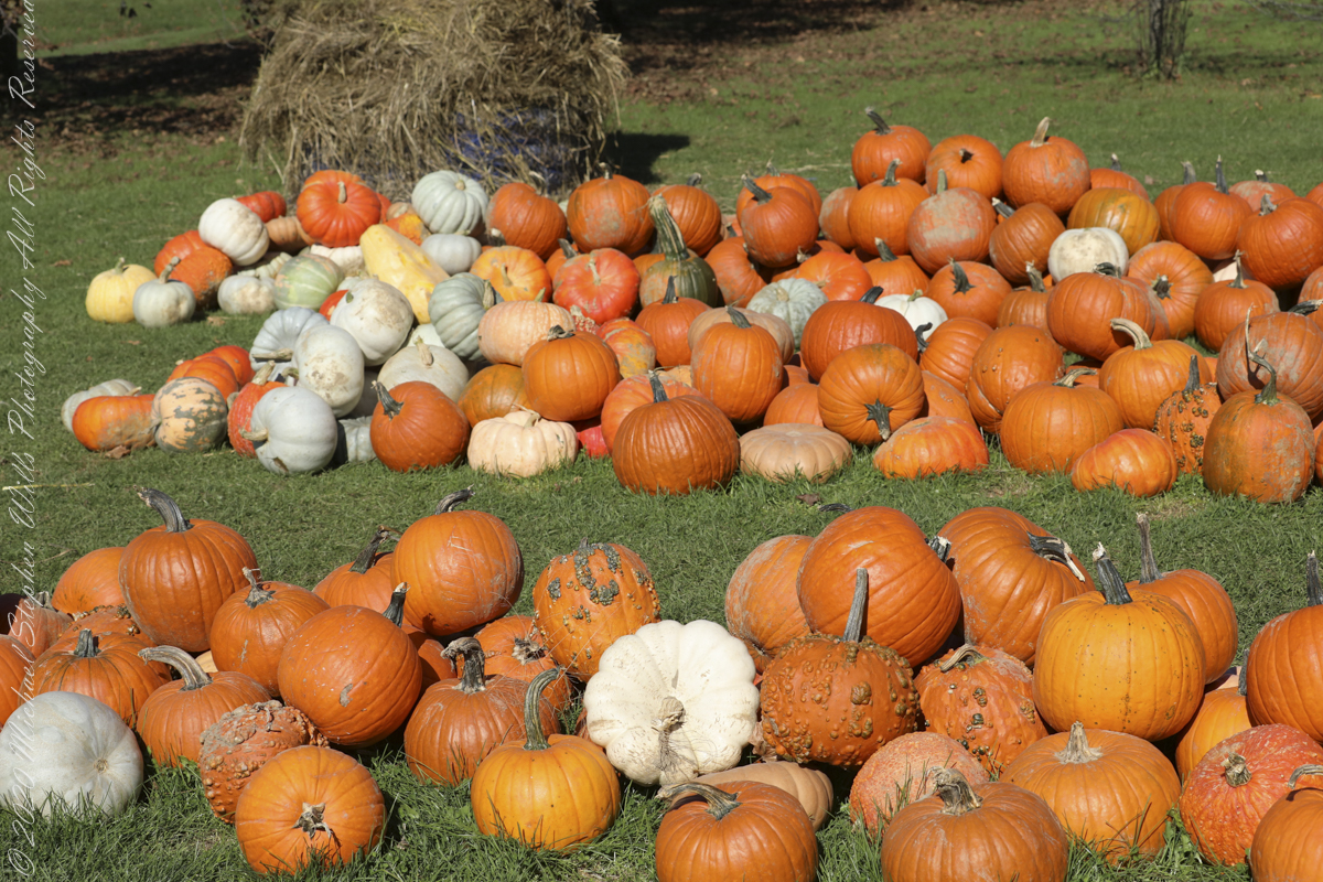
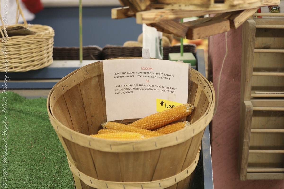
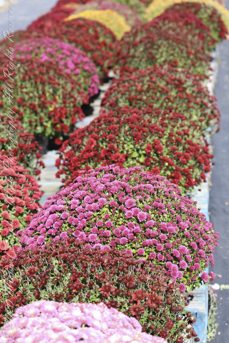
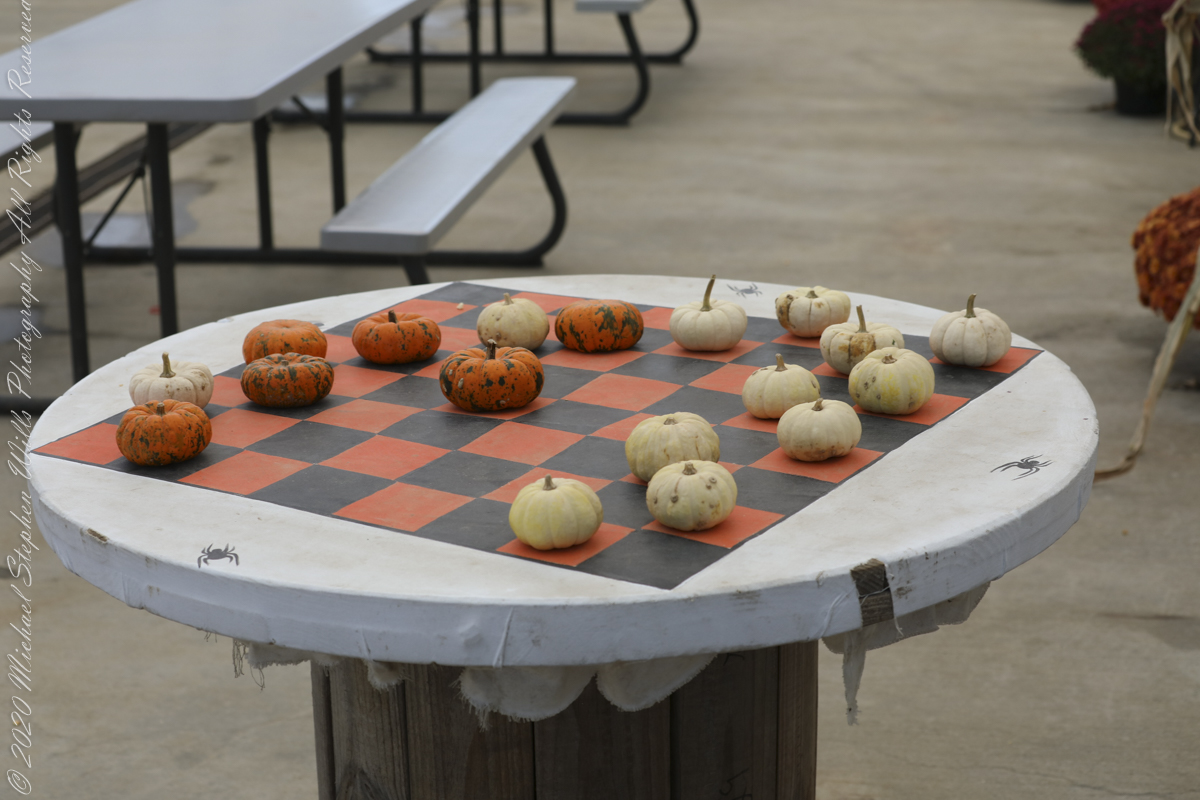
Gourds include the fruits of some flowering plant species in the family Cucurbitaceae, particularly Cucurbita and Lagenaria. The term refers to a number of species and subspecies, many with hard shells, and some without. One of the earliest domesticated types of plants, subspecies of the bottle gourd, Lagenaria siceraria, have been discovered in archaeological sites dating from as early as 13,000 BCE. Gourds have had numerous uses throughout history, including as tools, musical instruments, objects of art, film, and food. ~Wikipedia A wildly popular flower, Chrysanthemums are presented here during a “Pumpkin Farm” autumn festival. Honeycrisp (Malus pumila) is an apple cultivar (cultivated variety) developed at the Minnesota Agricultural Experiment Station’s Horticultural Research Center at the University of Minnesota, Twin Cities. Designated in 1974 with the MN 1711 test designation, patented in 1988, and released in 1991, the Honeycrisp, once slated to be discarded, has rapidly become a prized commercial commodity, as its sweetness, firmness, and tartness make it an ideal apple for eating raw. “…The apple wasn’t bred to grow, store or ship well. It was bred for taste: crisp, with balanced sweetness and acidity.” It has larger cells than most apple cultivars, a trait which is correlated with juiciness, as theoretically a higher number of cells rupture when bitten, releasing more juice in the mouth. The Honeycrisp also retains its pigment well and has a relatively long shelf life when stored in cool, dry conditions. Pepin Heights Orchards delivered the first Honeycrisp apples to grocery stores in 1997. The name Honeycrisp was trademarked by the University of Minnesota, but university officials were unsure of its protection status in 2007. It is now the official state fruit of Minnesota. A large-sized honeycrisp will contain about 113 calories. ~Wikipedia Stoughton Farm, Newark Valley, Tioga County, New York
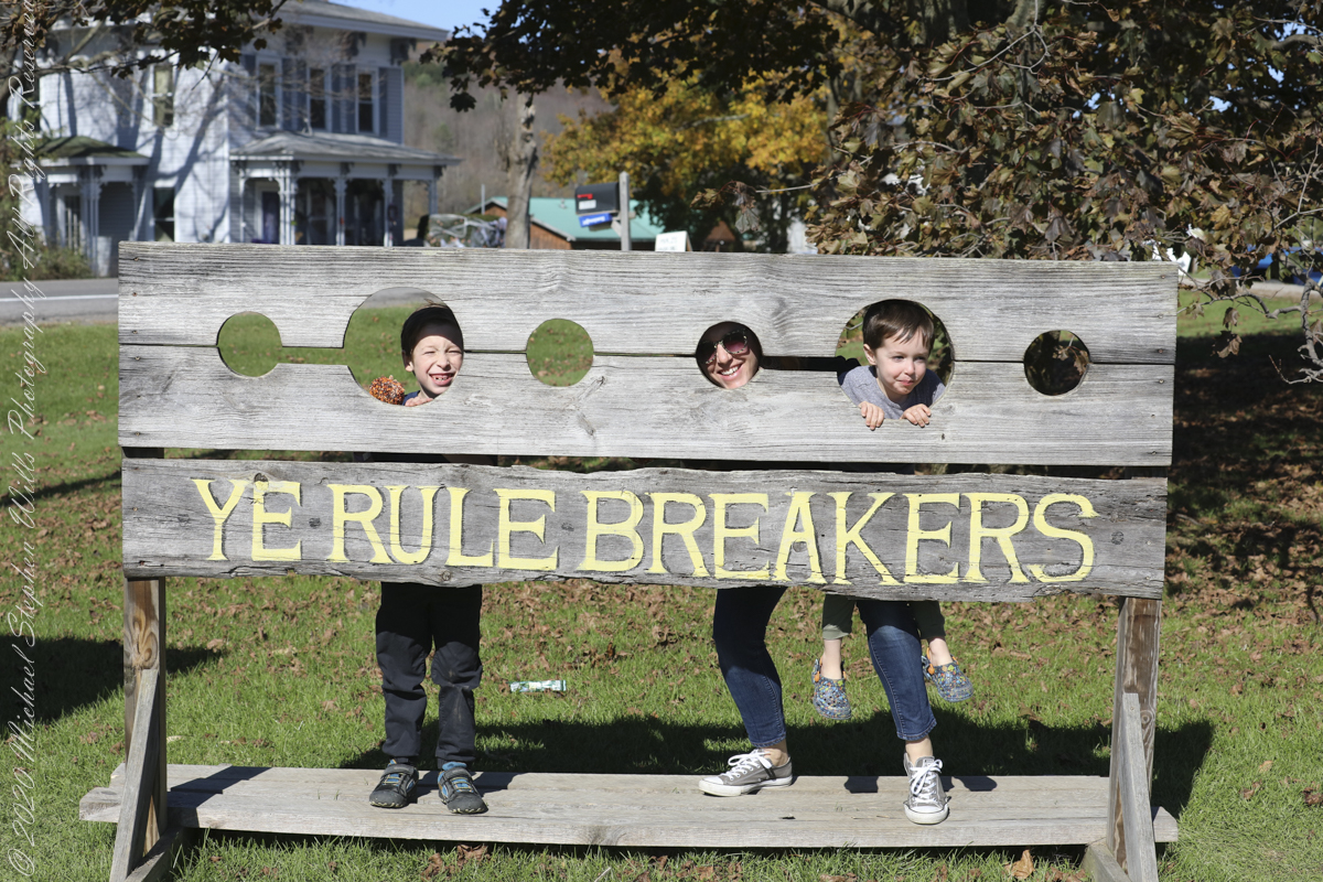
Family
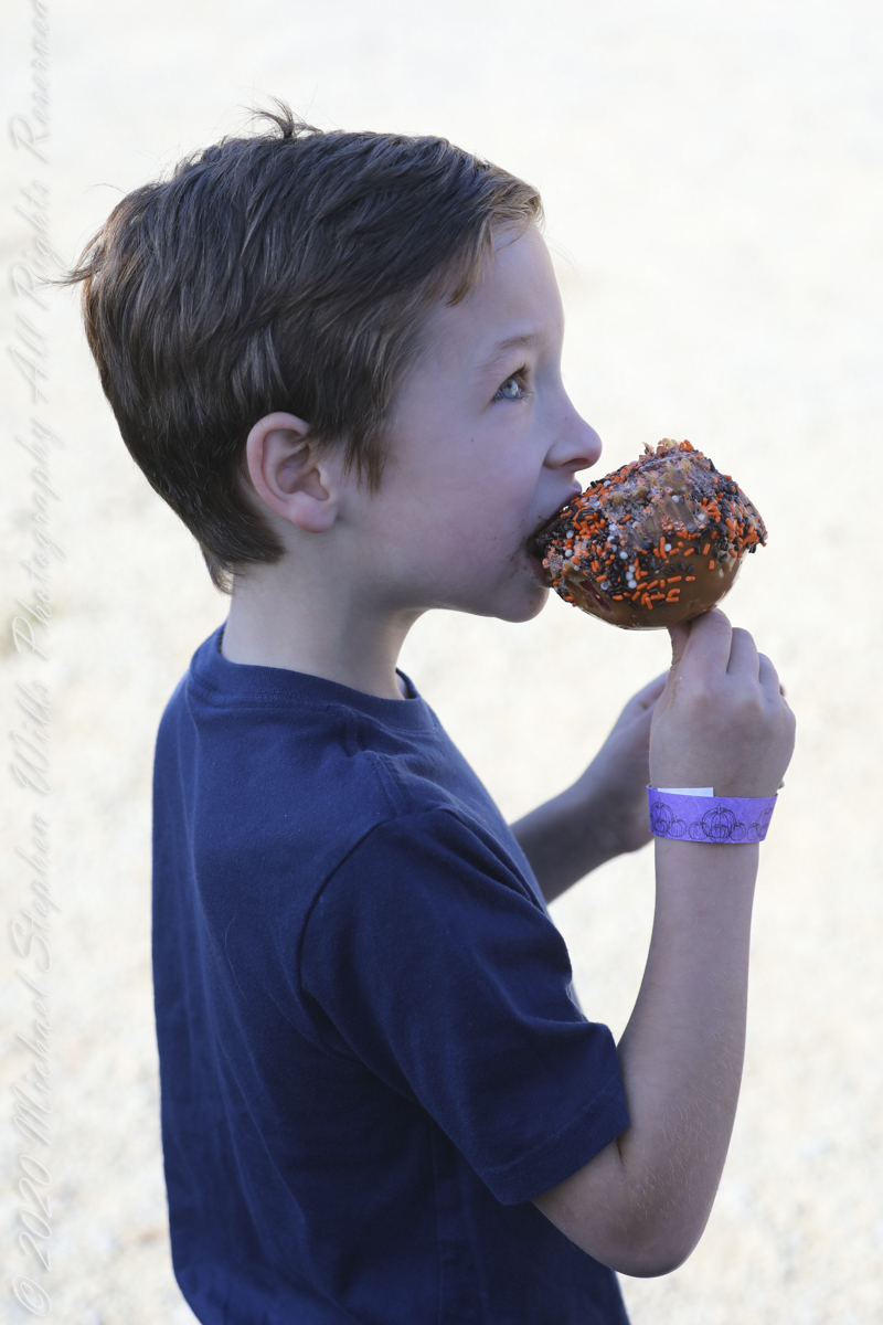
A family pulls together before the Pumpkin Farm Autumn Festival.
Fun
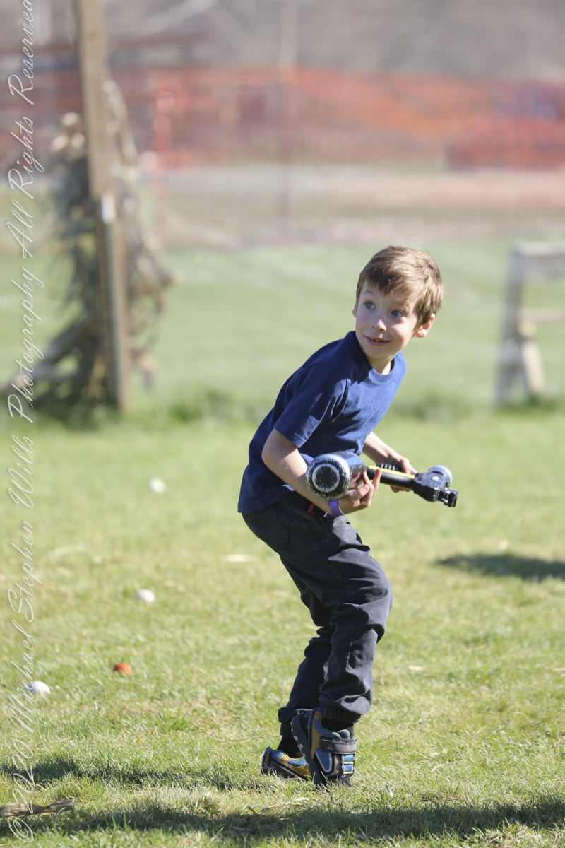
Nerf Gun BattleCow Wagon
Copyright 2022 Michael Stephen Wills All Rights Reserved
The United States Civil Conservation Corps (CCC) Camp number SP 33, inaugurated May 1, 1934, Marathon New York, worked four years (1934-1938) to improve Fillmore Glen State Park.
Bridges Five (5) and Six (6)…..
We can see the work to maintain the CCC work continues today by the New York State Office of Parks, Recreation and Historic Preservation. Look closely to see the cable flowing from the south gorge rim (to right) by which the limestone, out of sight along the gallery, was lowered for this project. There are building supplies at Bridge Five and Six, both left in these photographs.
…the gallery and Bridge Six (6)…..
Fillmore Glen, Cayuga County, Moravia. In the Finger Lakes Region of New York State
Copyright 2022 All Right Reserved Michael Stephen Wills
A faint organic whiff of Paleozoic Era generations follows hikers enjoying the Gorge Trail, an odor luring contemporary treasure seekers thankfully spurned by the December 2014 New York State fracking ban. Thanks to Governor Andrew Cuomo’s leadership, the ban protects public health, drinking water, the environment, local economies based on agriculture, tourism and small businesses. The ban on fracking sets the New York State apart for its climate leadership by leaving fossil fuels in the ground while the state simultaneously leads the nation in expanding renewable energy.
A plentitude of waterfalls…..
…bridge number 5…..
Fillmore Glen, Cayuga County, Moravia. In the Finger Lakes Region of New York State
Copyright 2022 All Right Reserved Michael Stephen Wills
View of Clinica Delgado (hospital) from Lima Peru’s Elias Aguirre (street), Huaca Pucllana filling the foreground. Huacas are commonly located in nearly all regions of Peru outside the deepest parts of the Amazon basin in correlation with the regions populated by the pre-Inca and Inca early civilizations. They can be found in downtown Lima today in almost every district, the city having been built around them. Huaca Pucllana, located in Miraflores district, is an adobe and clay pyramid built from seven staggered platforms. It served as an important ceremonial and administrative center for the advancement of the Lima Culture, a society which developed in the Peruvian Central Coast between the years of 200 AD and 700 AD.
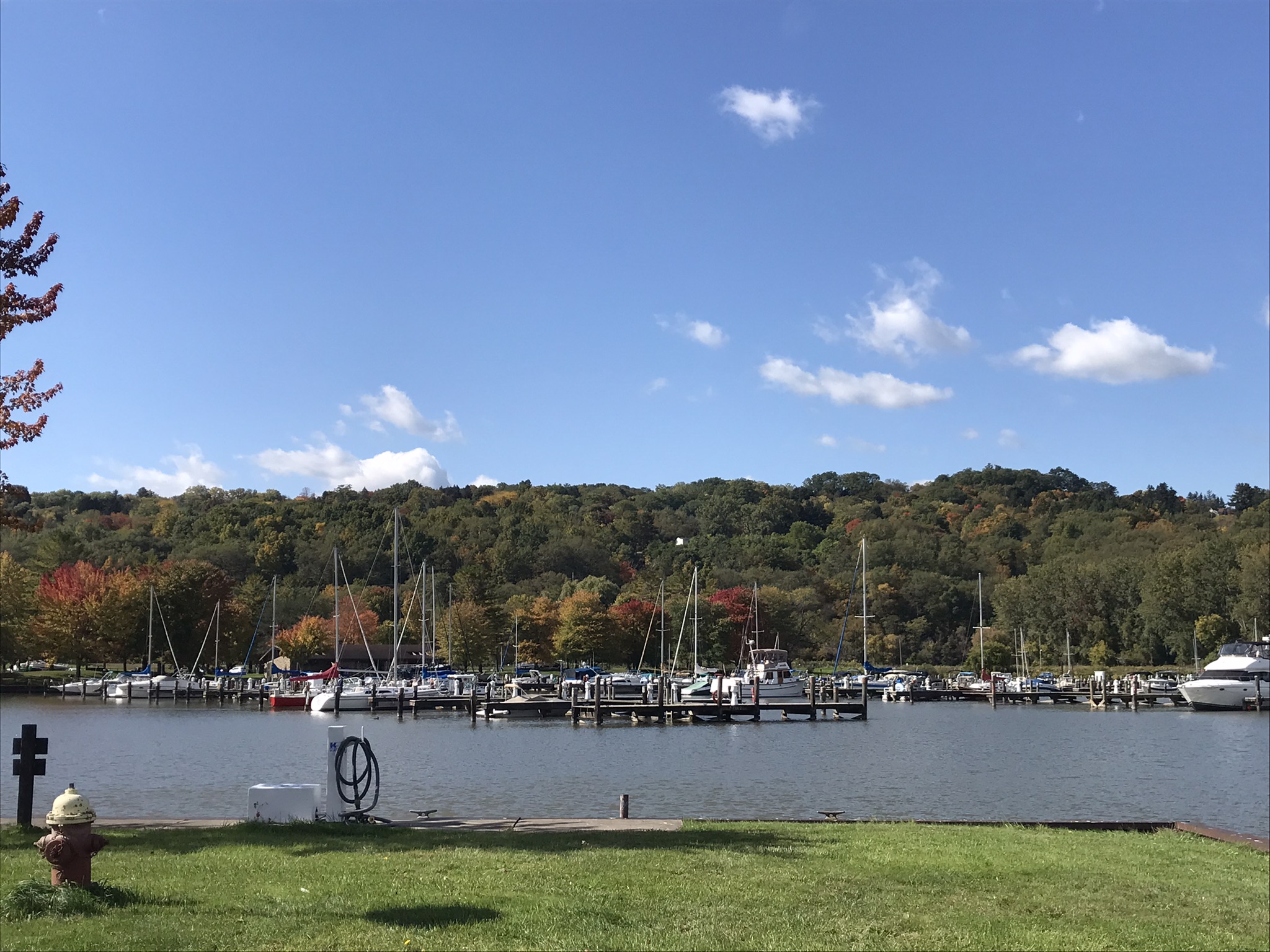
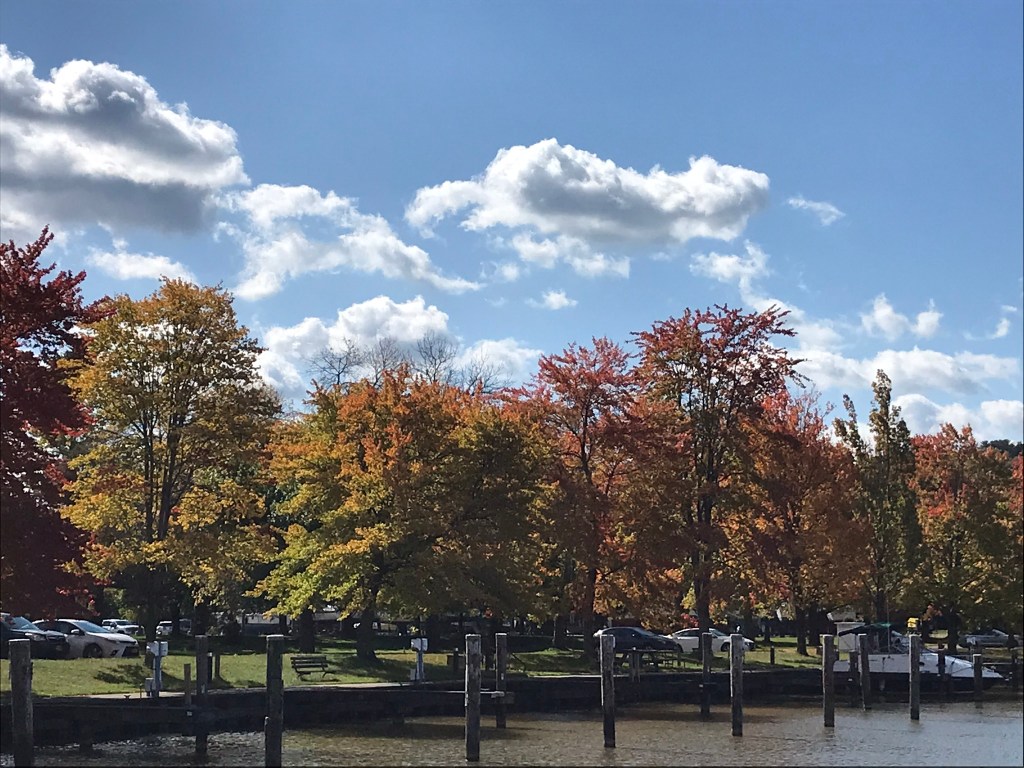
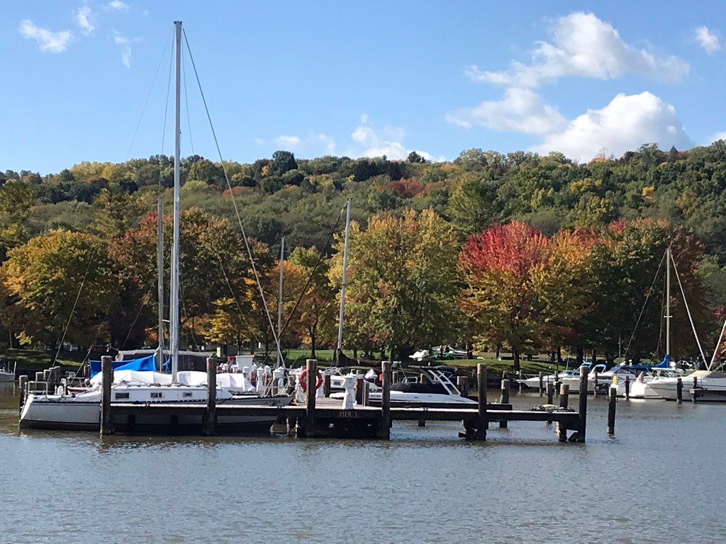
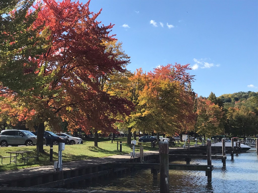
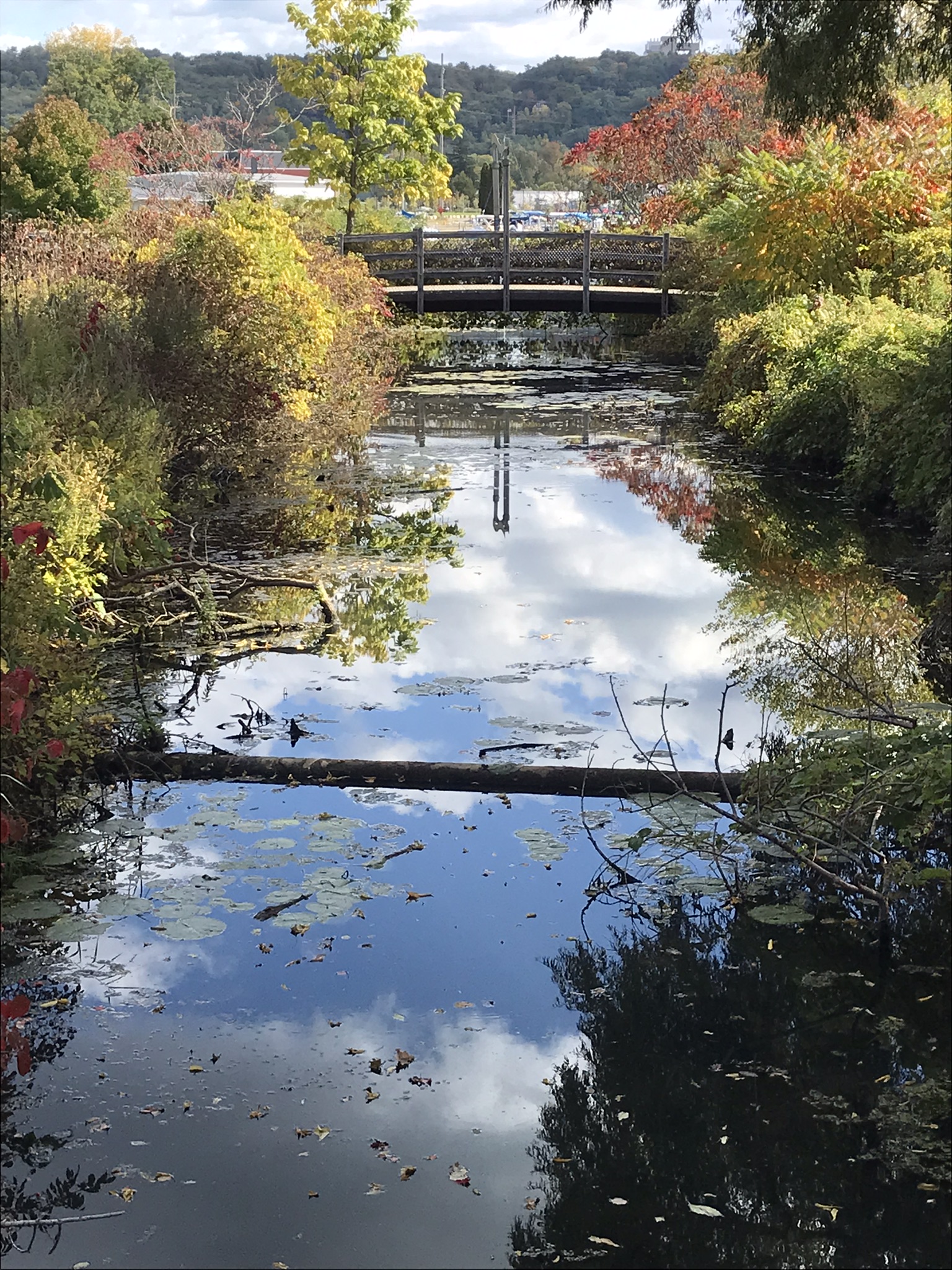
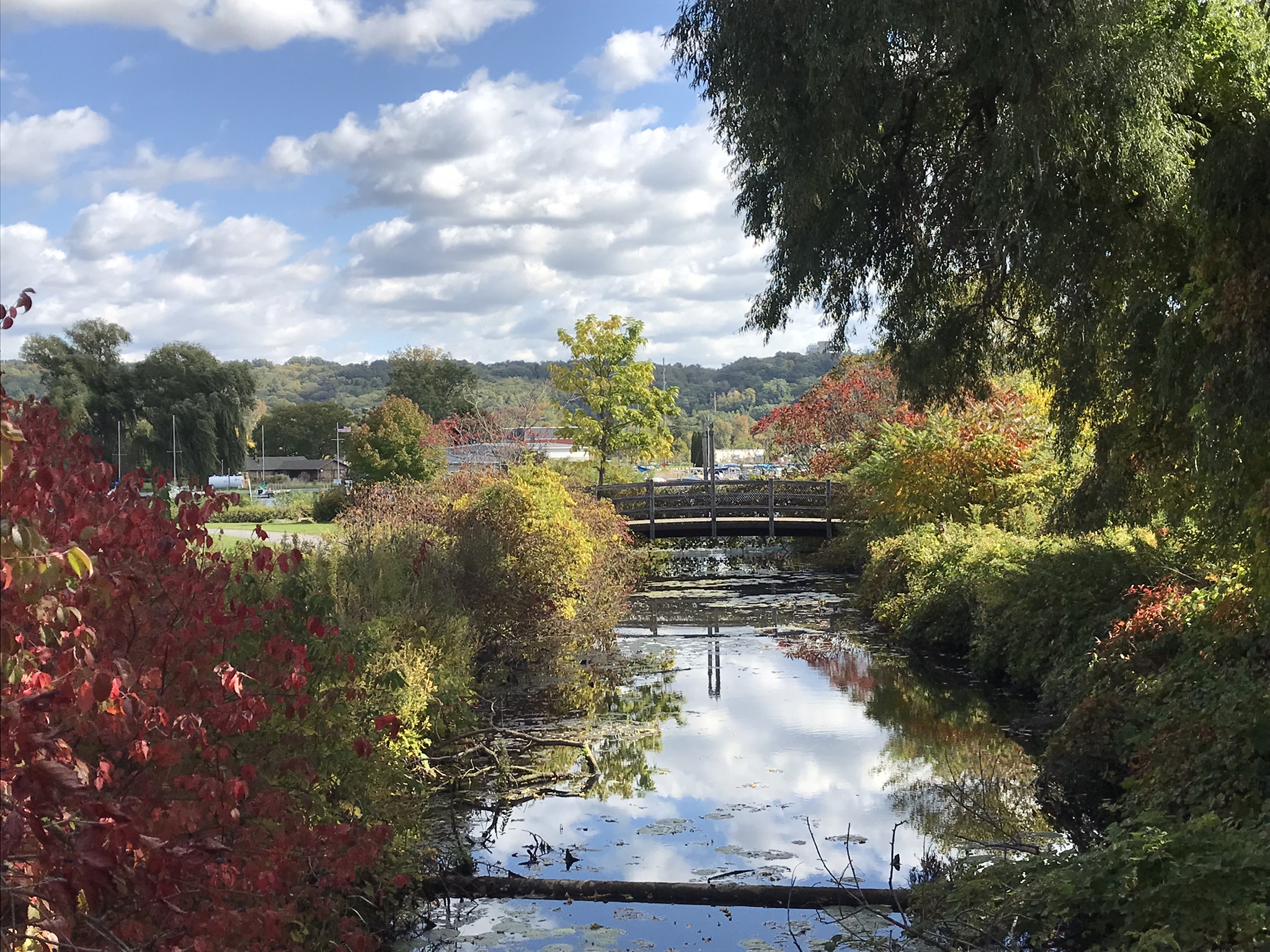
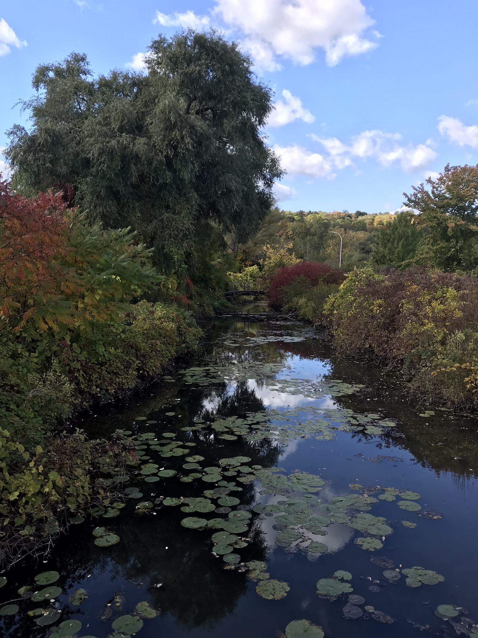
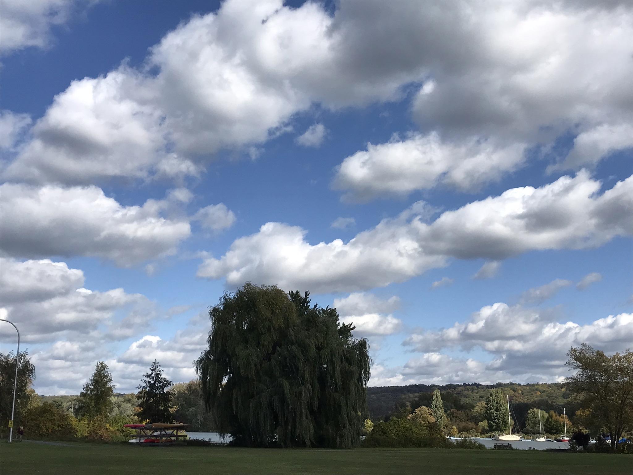
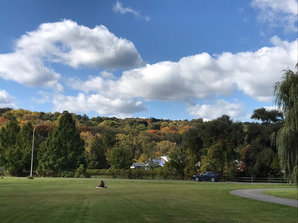
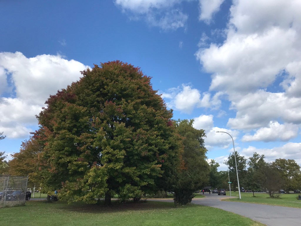
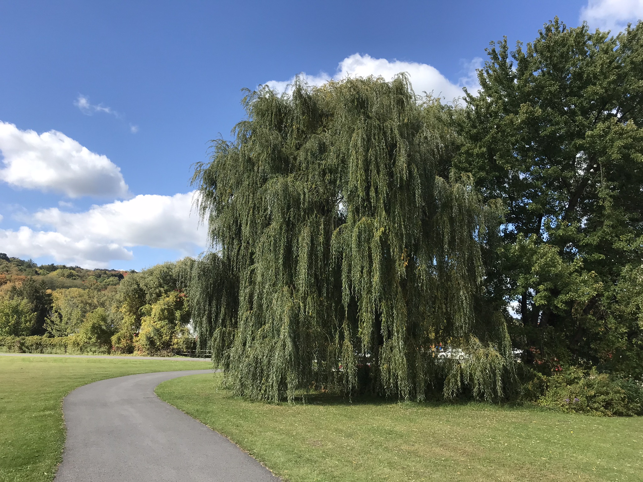
Pam and I arrived early to Cass Park for our grandson’s October afternoon soccer match, in time for a 2 mile walk on the generous footpaths. This is my impression of that time, from the IPhone 7’s camera.
Around the marina on Cayuga Lake
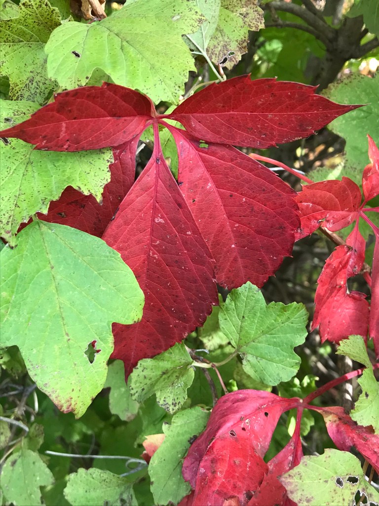
Red Accents
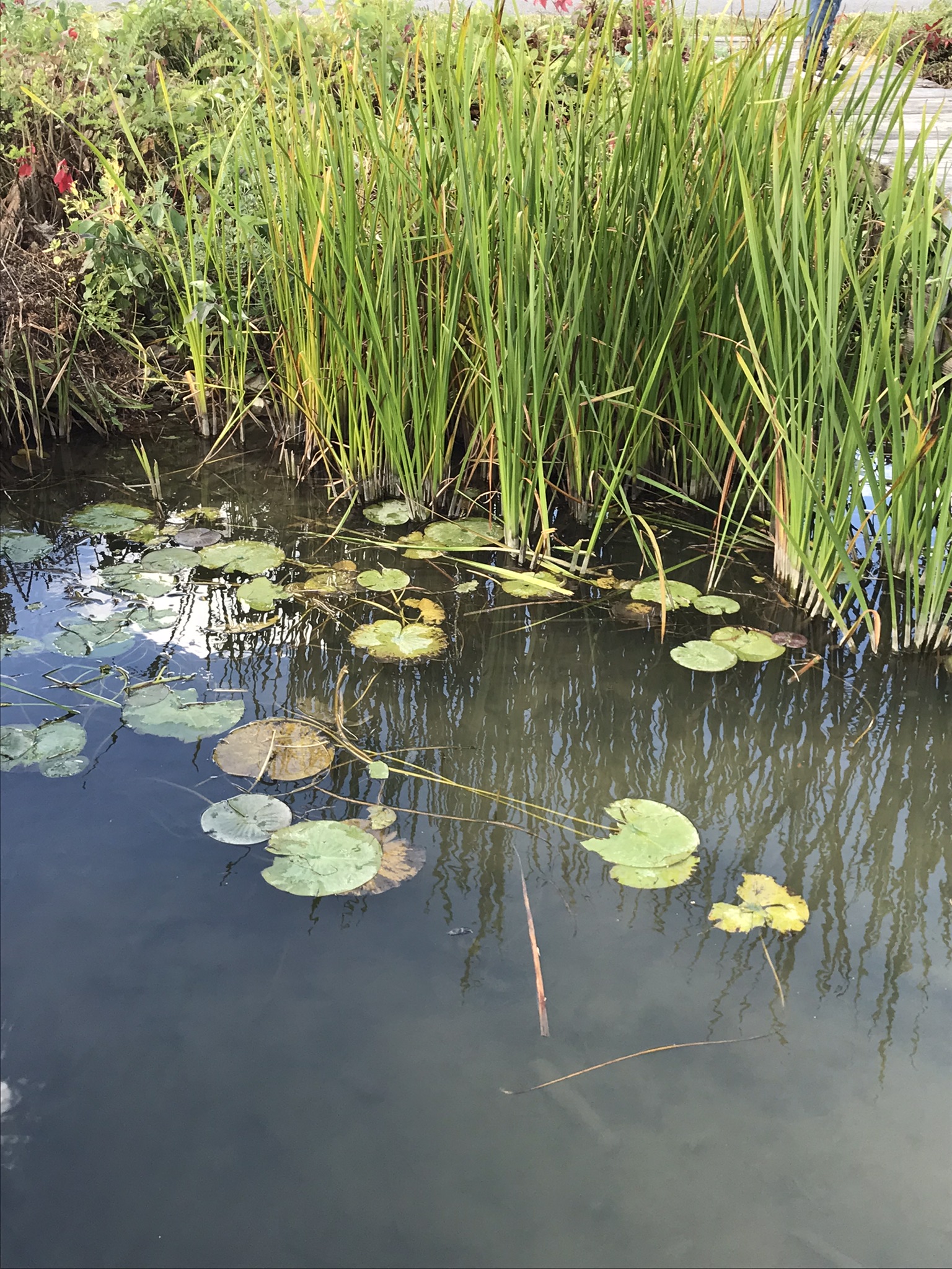
Watery Impressions from Linderman Creek flowing into Cayuga Inlet
Trees and Our Sky
Gracious Willows Line the Cayuga Lake Inlet
Cornell University on East HillLake Excursioin Heading Out from Farmer’s MarketCarl Sagan’s former study perched above Ithaca FallsView Across Cayuga Lake Inlet
A Packed Excursion Boat Under A Stunning Sky
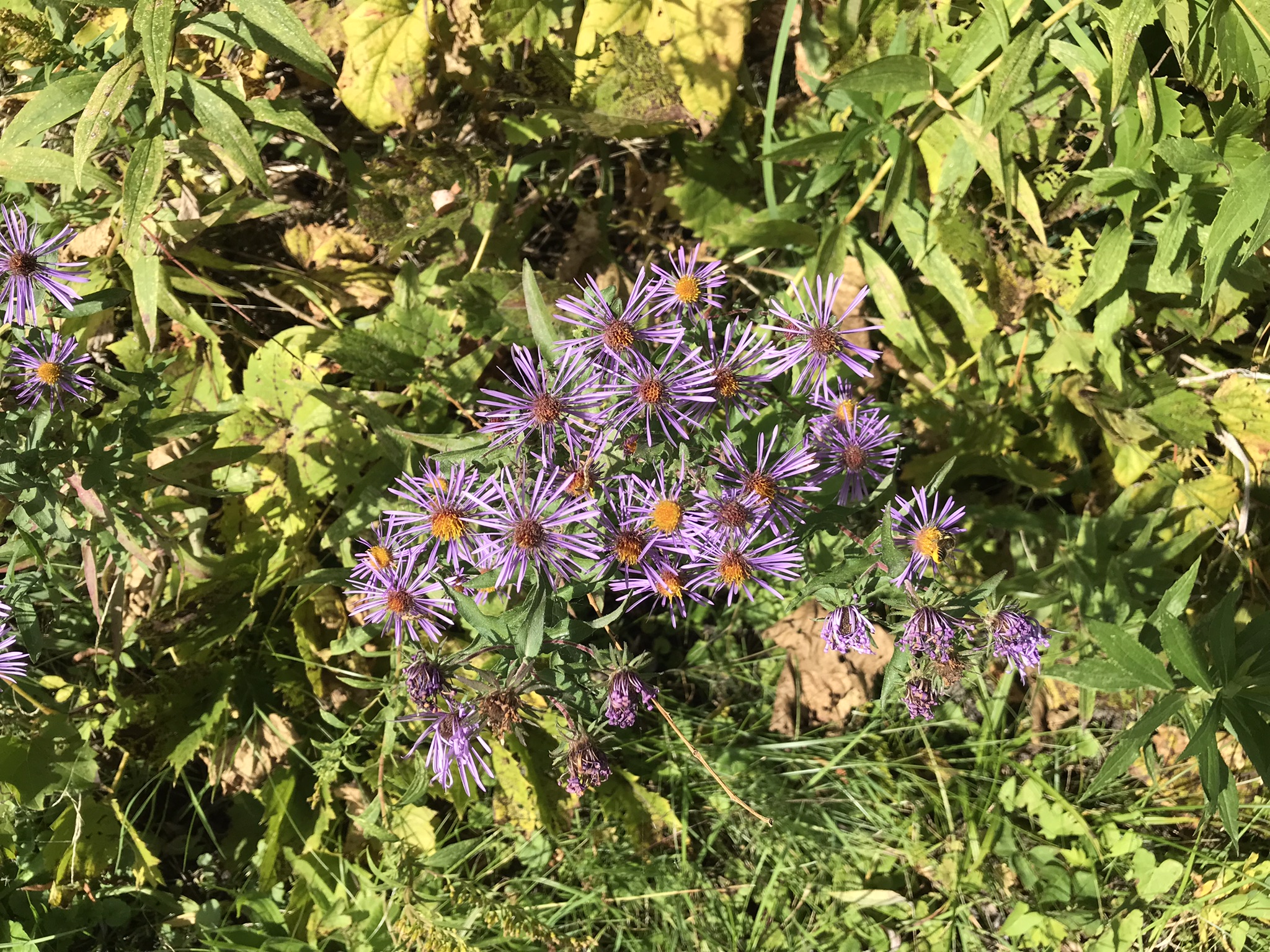
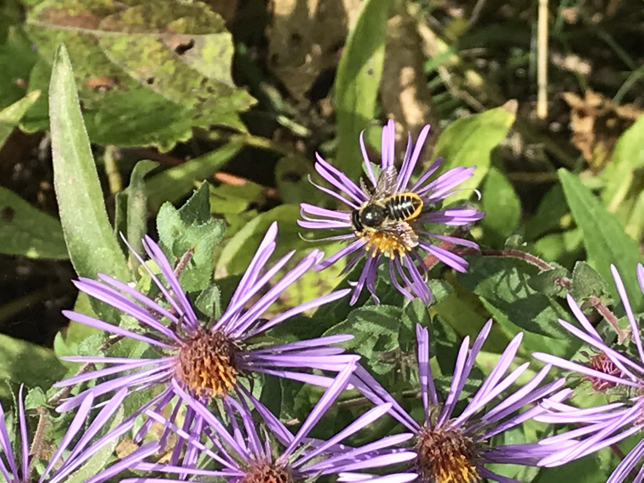
A Few Animals and a wildflower
This completes our Sunday afternoon walk around Cass Park, Ithaca, New York.
Copyright 2022 Michael Stephen Wills All Rights Reserved
This the fifth and final of a series of landscape photographs taken from this position.
Click photograph for a larger view. To do this from WordPress Reader, you need to first click the title of this post to open a new page.
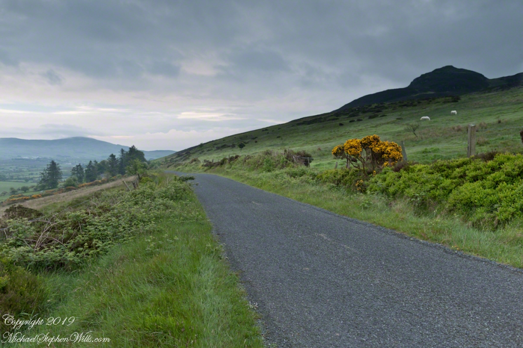
Slievenaglogh View with road, east
The peak is named, in the English language, Slievenaglogh. It is so strange as it’s not English, being instead a transliteration of the Irish name “Sliabh na gCloch.” This is “Rock Mountain” translated literally. Slievenaglogh is carried to the townland, a long thin swath of land being the peak and associated ridge-line.
The rocks up there are called “gabbro,” a type of magma slowly cooled under ground. Slievenaglog, Slieve Foy across the valley, and the Morne mountains all formed within volcano magma chamber(s) of the Paleocene, 66 million years ago, a time associated with extensive volcanism and the Cretaceous–Paleogene extinction event that gave rise to the current age.
Our younger cousin has been up there, optimistically we left it for a later trip.
Slievenaglogh View, northeastSlievenaglogh View, east northeastSlievenaglogh View, east northeastSlievenaglogh View, north northeastSlievenaglogh View with road, east
This the fourth of a series of landscape photographs taken from this position.
Click photograph for a larger view. To do this from WordPress Reader, you need to first click the title of this post to open a new page.
Slievenaglogh View, north northeast
The distant ridge, Slieve Foy, is the site of a mythic battle from the epic “The Cattle Raid of Cooley” (Irish: Táin Bó Cúailnge).
Pam and I did a circuit of the island, returning to the home of my Mom’s first cousin. Our last full day on Ireland a cousin took us on the Tain Trail, over Maeve’s Gap of Slieve Foy and into Carlingford town.
Our route is partly visible to the right of the ridge, hidden in low clouds.
These are the second and third of a series of landscape photographs taken from this position. See the previous post for the first.
Click photograph for a larger view. To do this from WordPress Reader, you need to first click the title of this post to open a new page.
Slievenaglogh View, east northeastSlievenaglogh View, east northeast
I visited here early morning of the Monday Pam and I embarked on a trip around the island of Ireland.
Arrived the previous Saturday when, after some sites between Dublin airport and the Cooley Peninsula, we met my Mom’s first cousin who had invited us for a visit. We had a grand time meeting them.
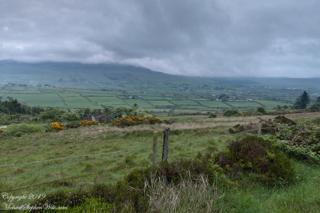
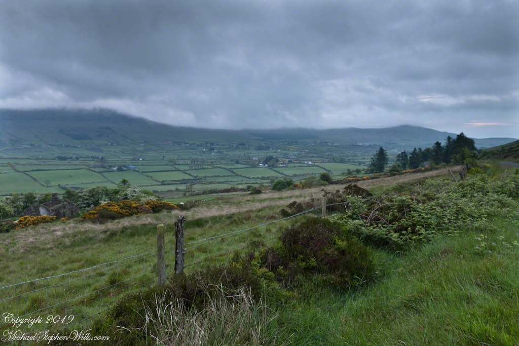
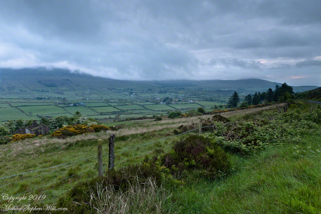
The ruin in this view is on the slopes of the peak. Some of these ruins are former homes with the replacement nearby. This appears to be an abandoned farm.
Slievenaglogh is the name of a peak on the Cooley Peninsula of County Louth, Ireland near to the birthplace of my Mom, Proleek, a few townlands to the west.
Click photograph for a larger view. To do this from WordPress Reader, you need to first click the title of this post to open a new page.
Slievenaglogh View, northeast
On the northeast slope of Slievenaglogh peak (Irish: Sliabh na gCloch) on the road from Mullaghattin Townland to Riverstown.
Here we look northeast from the Slievenaglogh Townland, the valley between Slieve Foy and Slievenaglogh peaks.
The view includes Little River, Ballycoly Townland and Castletown River.
Adjacent is a sheep pasture with a farm ruin behind the yellow flowered gorse (whin bush, scientific name Ulex).
Slieve Foy is the far ridge lost in clouds. Early morning, late May 2014.