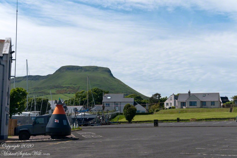
Standing on the beach at Cushendun village, looking west towards the glens. The Antrim coast is notable for the rising tablelands of broad, eroded valleys, or glens.
Click photograph for a larger view. To do this from WordPress Reader, you need to first click the title of this post to open a new page.
SONY DSC
Copyright 2020 All Rights Reserved Michael Stephen Wills
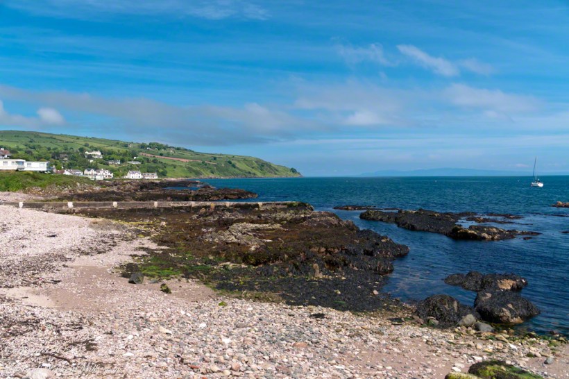
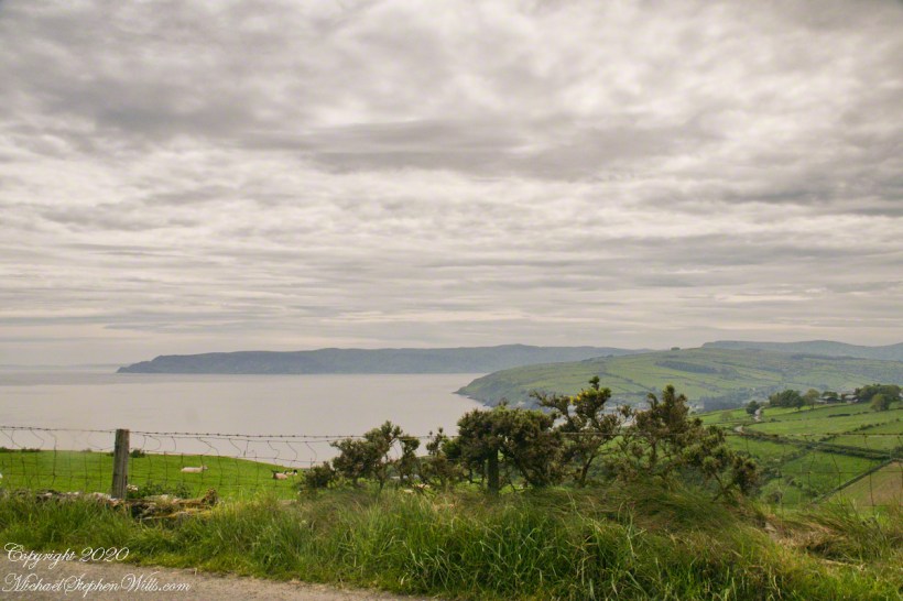
Here is a view of our route to Torr Head standing on the beach at Cushendun, facing north. The village name in Irish is Cois Abhann Doinne, meaning at the foot of the river Dun, the land here and bay formed by the outflow of rivers from the glens.
Click photograph for a larger view. To do this from WordPress Reader, you need to first click the title of this post to open a new page.
Copyright 2020 All Rights Reserved Michael Stephen Wills
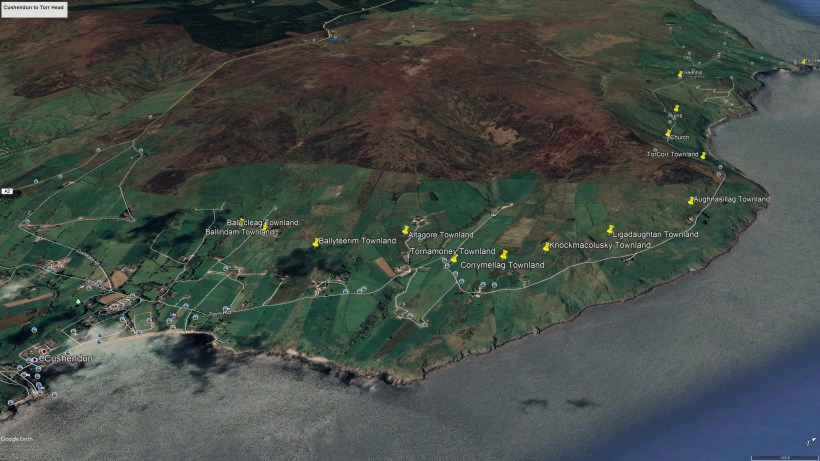
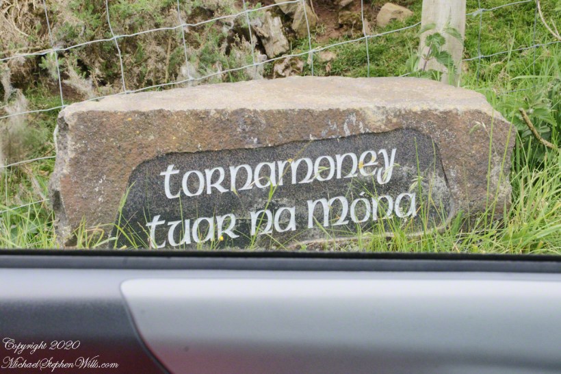
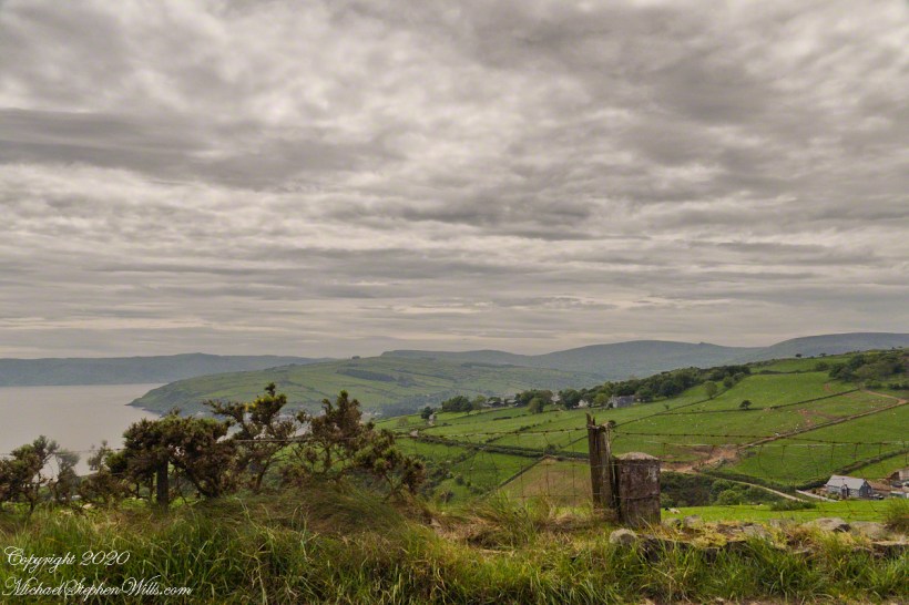
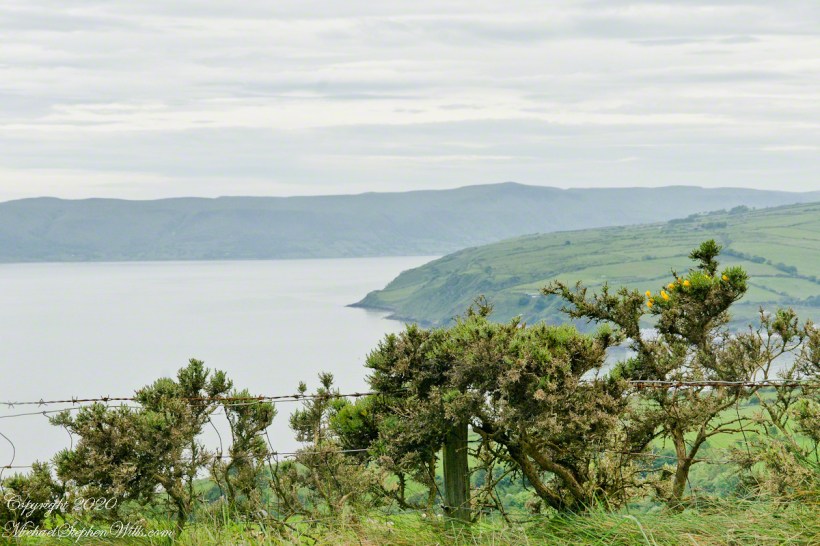
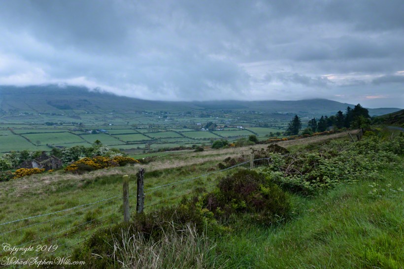
In 3.1 miles Torr Road passes nine townlands between Cushendun and Torcorr Townland, each with a namestone holding the Irish and Anglicized name. We can walk it in an hour at a steady pace, the terrane is sliced up so.
Click photograph for a larger view. To do this from WordPress Reader, you need to first click the title of this post to open a new page.
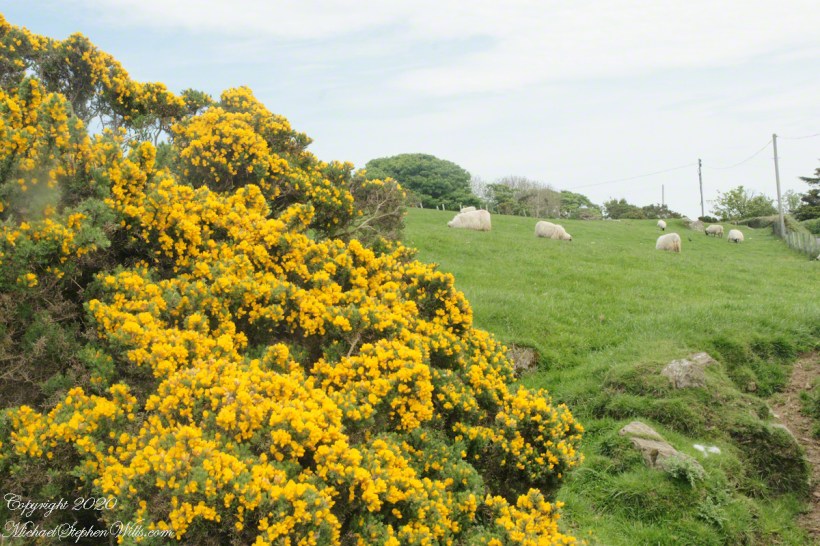
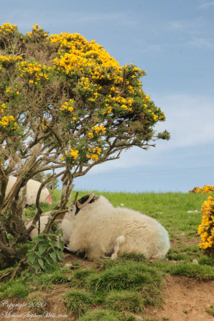
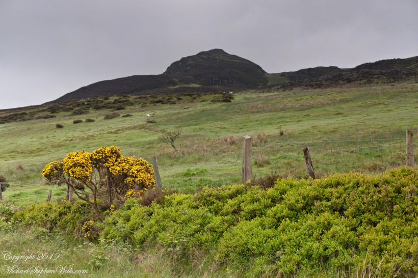
Whin Bush in flower
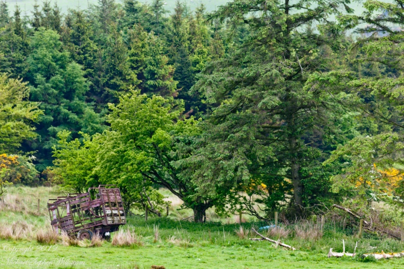
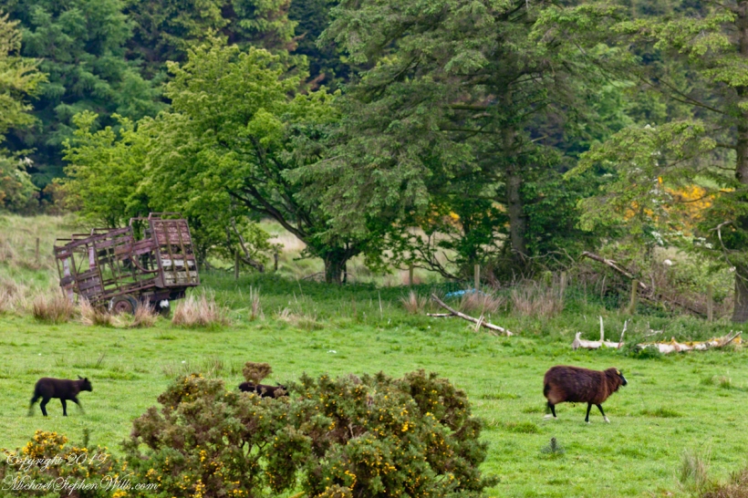
Tornamoney townland is “Cattle Field of the Bogland.” That is the car door, foreground.
SONY DSC
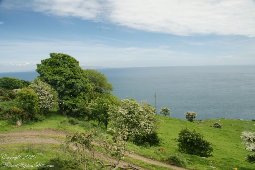
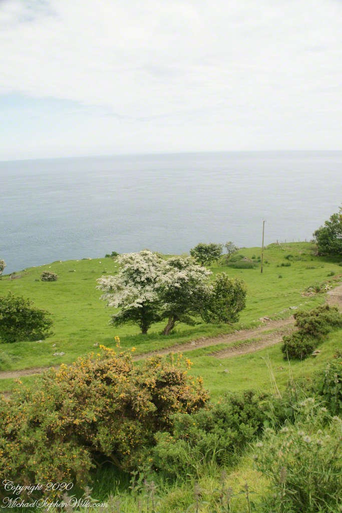
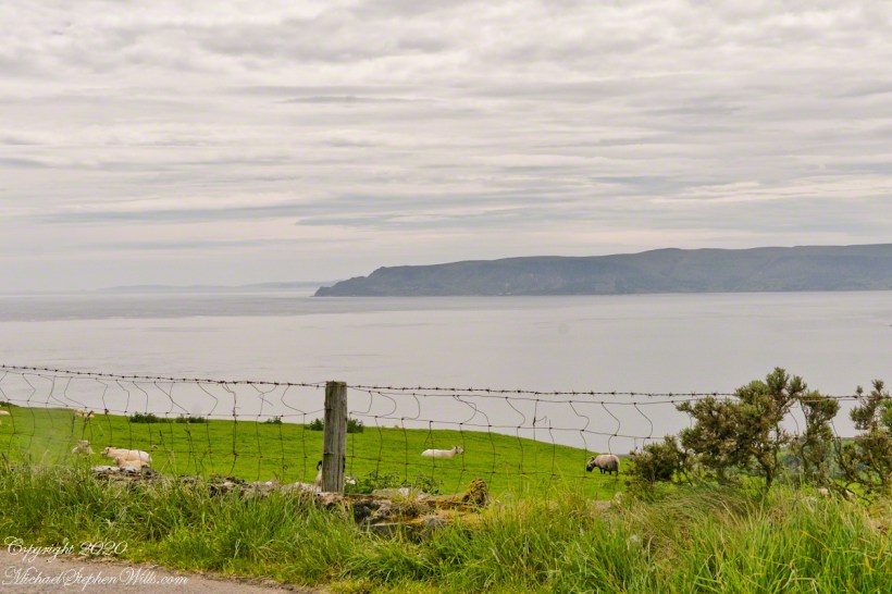
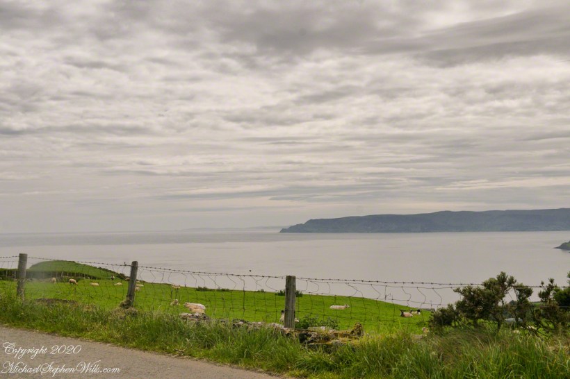
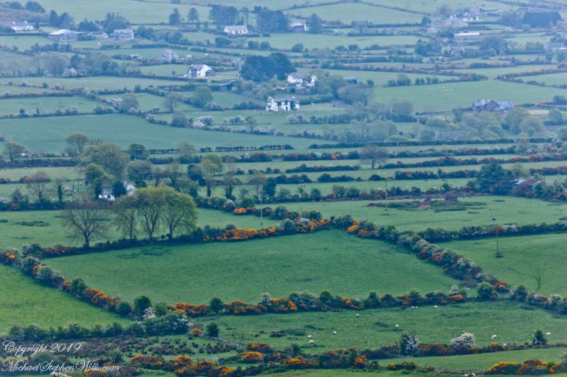
Common to all was the slope down to the North Channel.
SONY DSC
SONY DSC
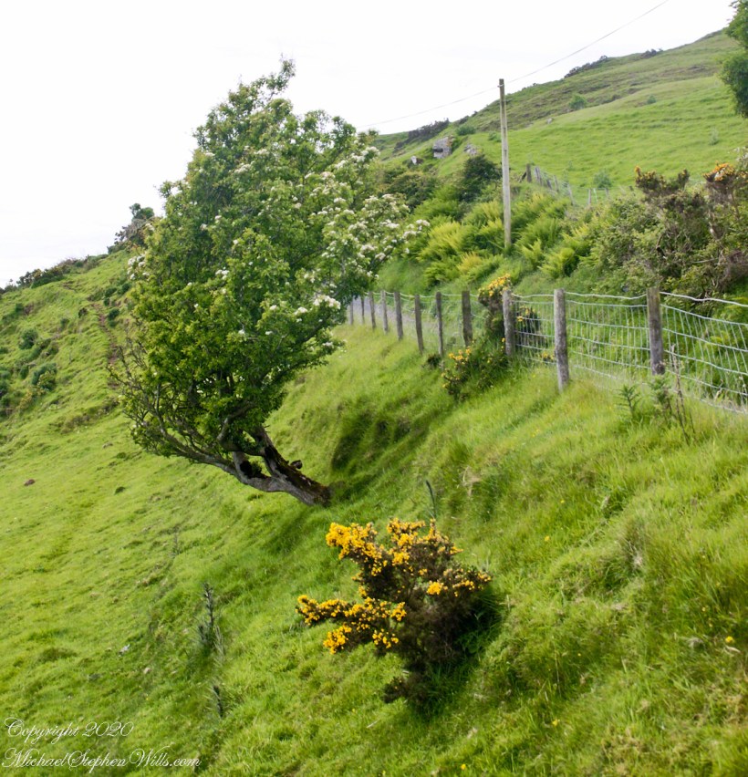
Rowan Tree directional growth from a constant east wind..
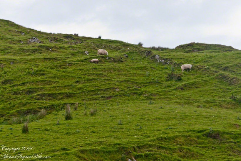
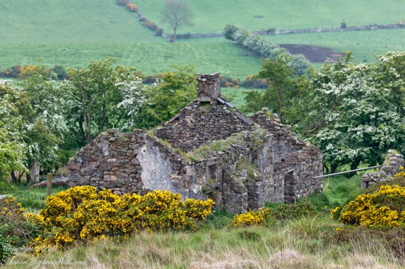
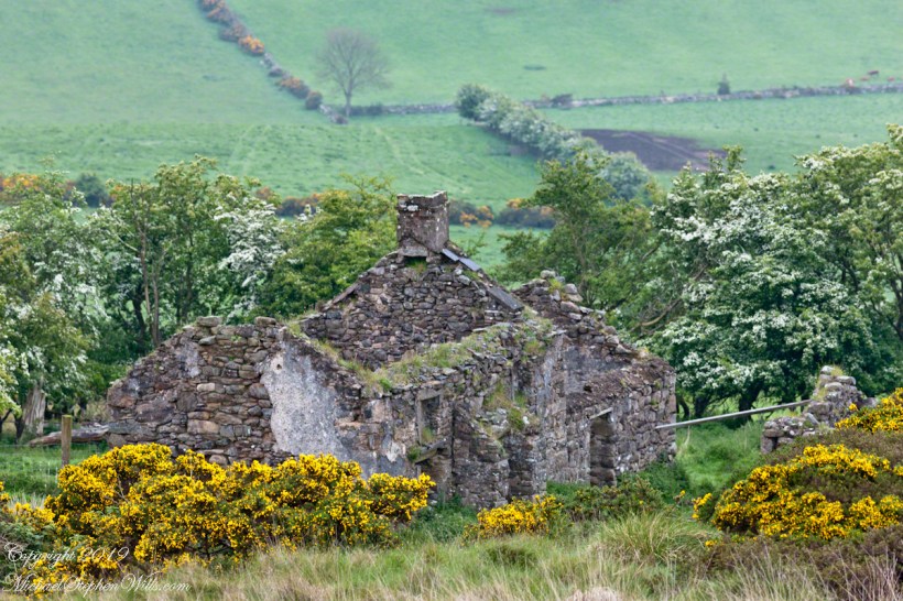
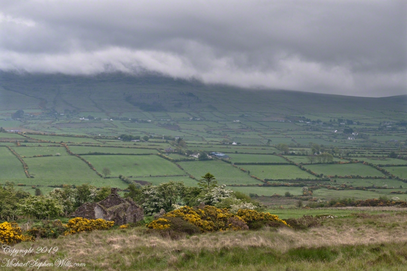
Sheep pasture above the Loughan Cottage ruins.
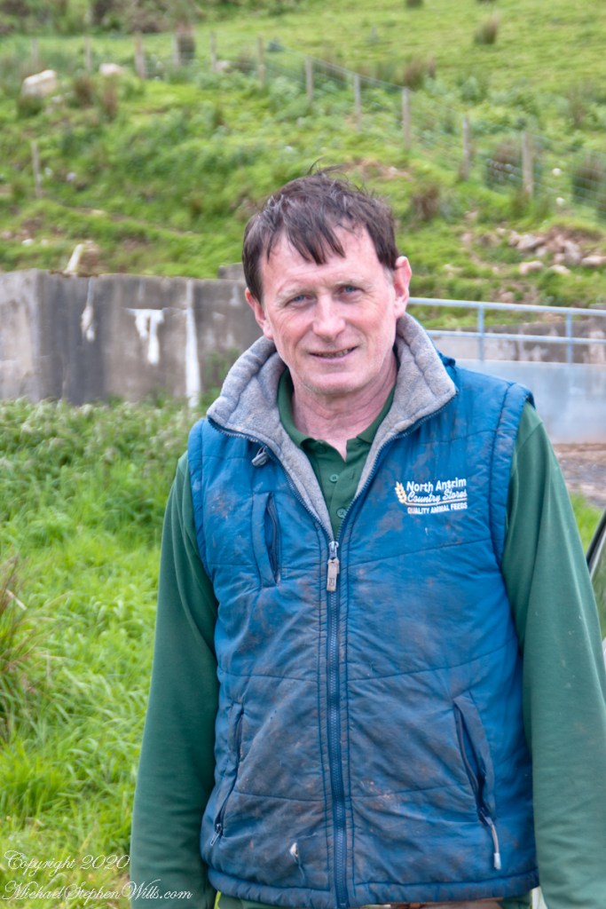
Here is the friendly owner who climbed off his tractor for a chat with Pam while I photographed.
SONY DSC
Here is a slideshow of this post’s images. To visit from WordPress Reader, you need to first click the title of this post to open a new page.
SONY DSC
Copyright 2020 All Rights Reserved Michael Stephen Wills
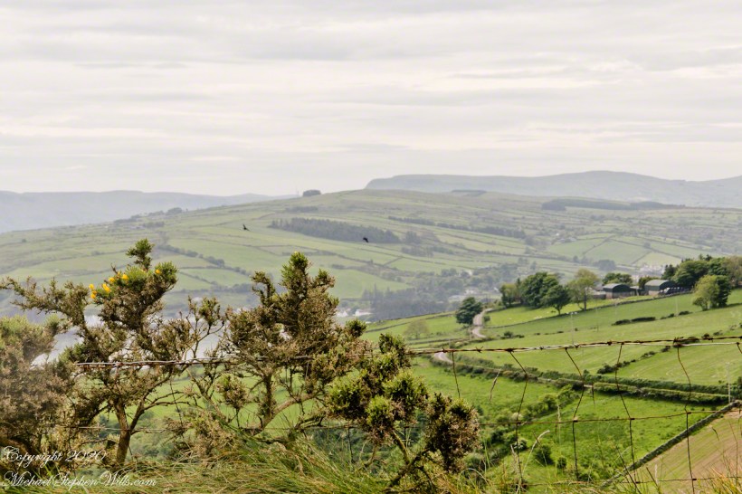
Torr Road passes nine townlands between Cushendun and Torcorr Townlands, each with a namestone holding the Irish and Anglicized name. Here are a few interesting names.
Click photograph for a larger view. To do this from WordPress Reader, you need to first click the title of this post to open a new page.
“Ballindam” is derived from the Irish “Baile an tdam”, the Anglicization is the sounding out of Irish. Baile is “town” and “an tdam” is on the dam.
Headed uphill, the next is “Ballycleagh”. Bally is the English pronunciation of Baile. I found “cleagh” on Google translate under “Scots Irish” for “Well.” So, this is the town of the well.
Here is a sheep lookout at the aptly named, Alt gabhair townland, Irish for “Goat Section.” Otherwise known as Altagore.
Here is a slideshow of this post’s images. To visit from WordPress Reader, you need to first click the title of this post to open a new page.
Copyright 2020 All Rights Reserved Michael Stephen Wills
Click photograph for a larger view. To do this from WordPress Reader, you need to first click the title of this post to open a new page.
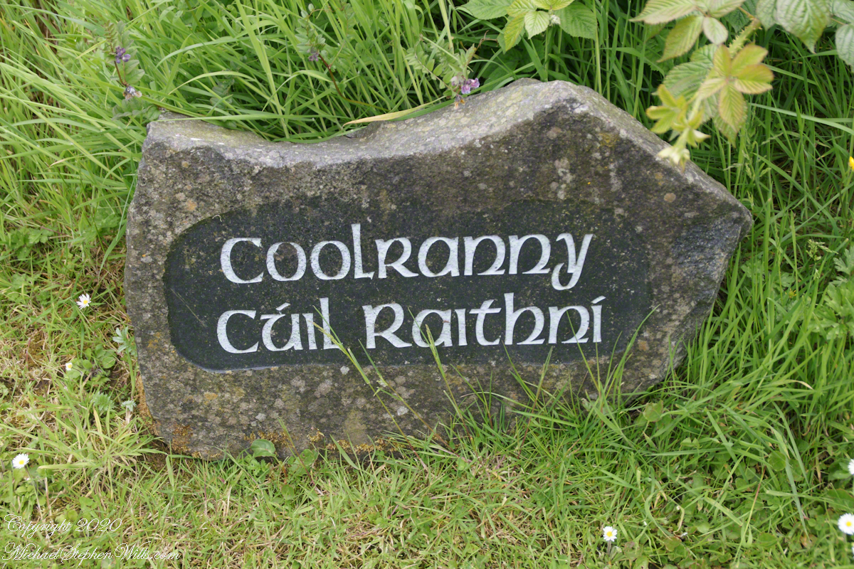
The words carved on this namestone are from ancient Irish language with “Cuil” (a recess) and “Raithni” (possessive case of the noun for bracken, a type of fern). In other words, recess of ferns. The anglicized name, “Coolranny,” is the untranslated sound of the Gaelic place name.
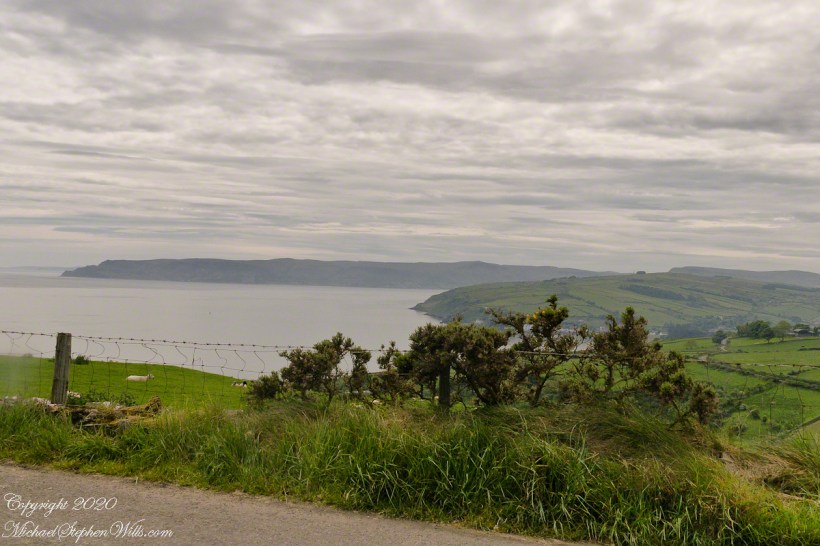
The road to Coolranny starts at the foot of Glendun, Cushendun village. Here is the view over Cushendun and its sheltered harbor as Torr road climbs in a series of switchbacks to Torcorr townland.
Here is a slideshow of this post’s images. To visit from WordPress Reader, you need to first click the title of this post to open a new page.
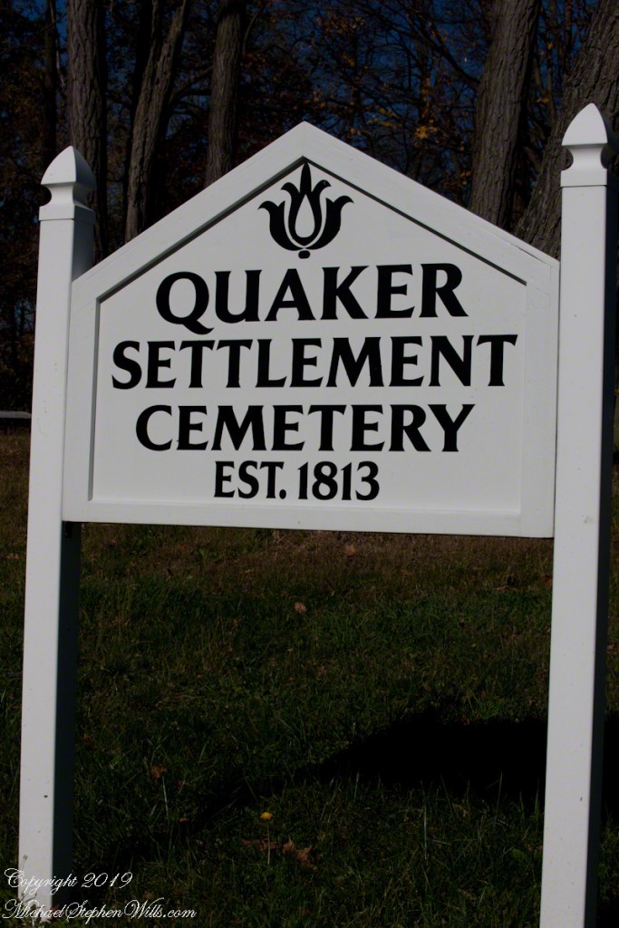
Found along Torr Road in Coolranny townland.
Copyright 2020 All Rights Reserved Michael Stephen Wills
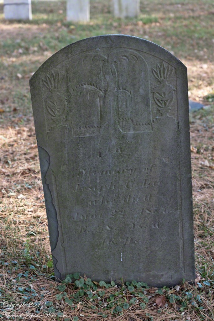
Joseph P. Lee, a middle aged gentleman with carvings of a mature willow flanked by urns. In the intervening 162 years the upper layers of slate flake at the edges.
Click photograph for a larger view. To do this from WordPress Reader, you need to first click the title of this post to open a new page.
Born June 6, 1799 Died June 22, 1857 Lived 58 years and 16 Days
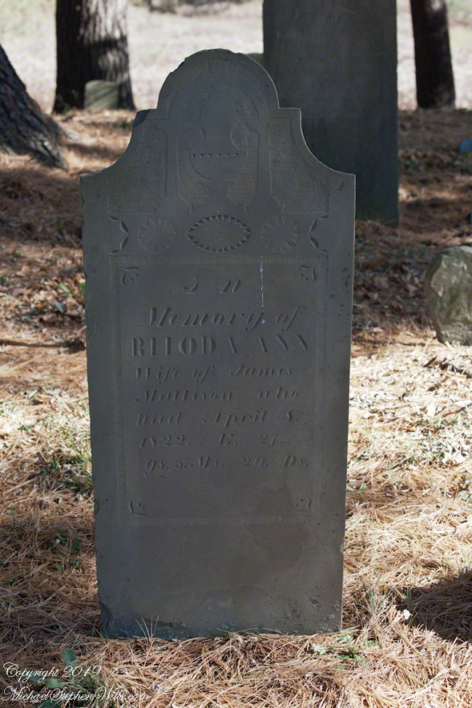
Rhoda Ann Mattison, a wife who died too young. What was the relationship of James and Rhoda to Catherine and John?
Born October 14, 1794 Diet April 8, 1822 Lived 27 years 5 months 20 days. Wife of James Mattison
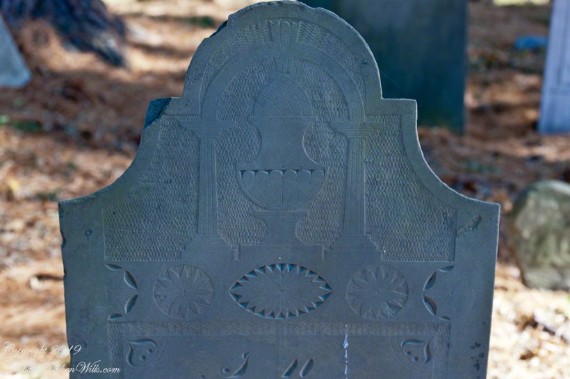
The carving is a pineapple (for hospitality) set in a elegant vase on a plinth flanked by ionic columns, a simple arch (banded to imply a rainbow?) surmounts all. Cross hatching implies space. An implied eternal banding of stylized leaves as starbursts.
I brought out the characteristic slate coloring. There is evidence of ware from the intervening 197 years, though the carving is surprising crisp.
Slideshow of photographs in this series
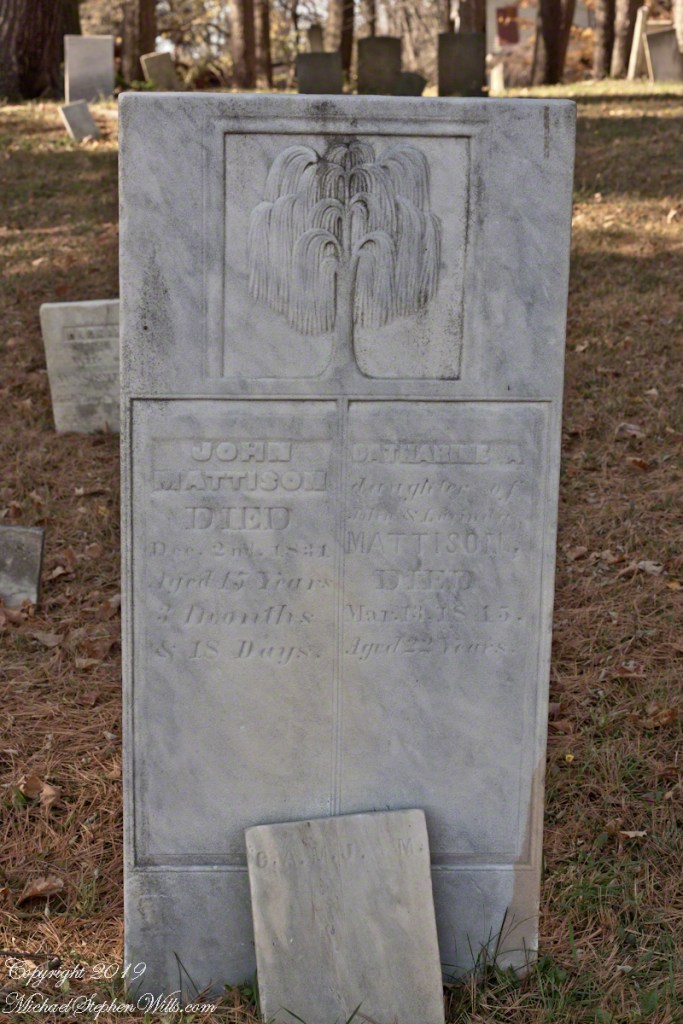
Catherine A. Mattison Born 1792/1793, Death March 13, 1815. Lived 22 years.
John Mattison, Death December 2, 1831, Born August 15, 1815 (5 months after Catherine’s Death), Lived 15 years, 3 months and 18 days.
Copyright 2019 All Rights Reserved Michael Stephen Wills
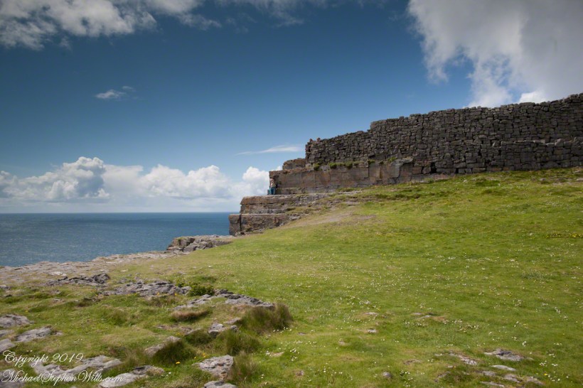
Here is the east side of the inner enclosure wall of Dun Aonghasa (Dun Aengus) where it ends at a cliff edge over the Atlantic ocean.
Visible are the last 60 feet or so of the limestone strata supporting the inner ring.
When first constructed, the inner ring was complete, the western side 1,000 feet from the cliff.. Today’s form of a semi-circle was created by nature when the force of Atlantic Ocean waves eroded the cliff, undercutting the strata.
Look close to see a fracture where the next block of limestone will fall into the waves.
Ancient fort wall with tourists and Cliff Edge of Dun Aonghasa (Dun Aengus)
Wishing a blessed All Saints Day (November 1st) for all my readers.
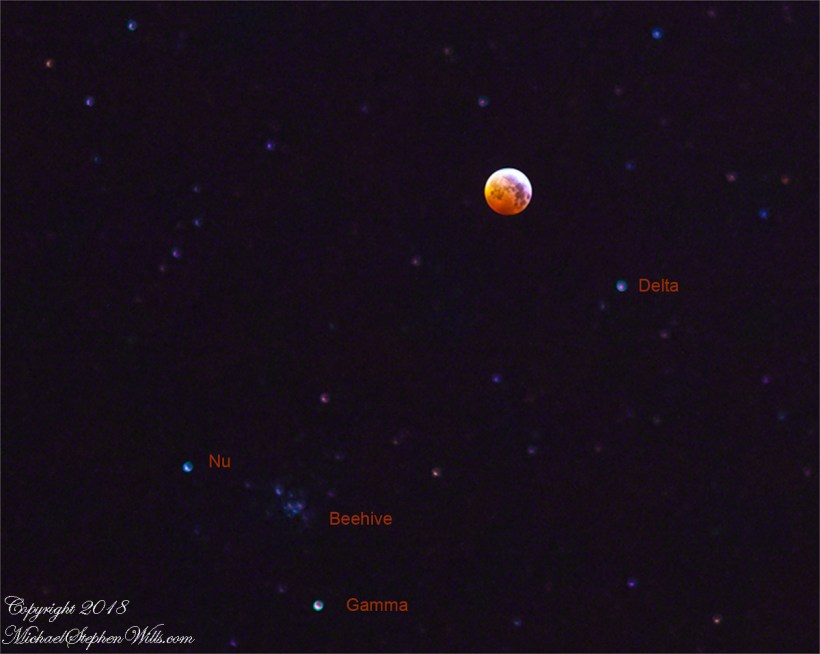
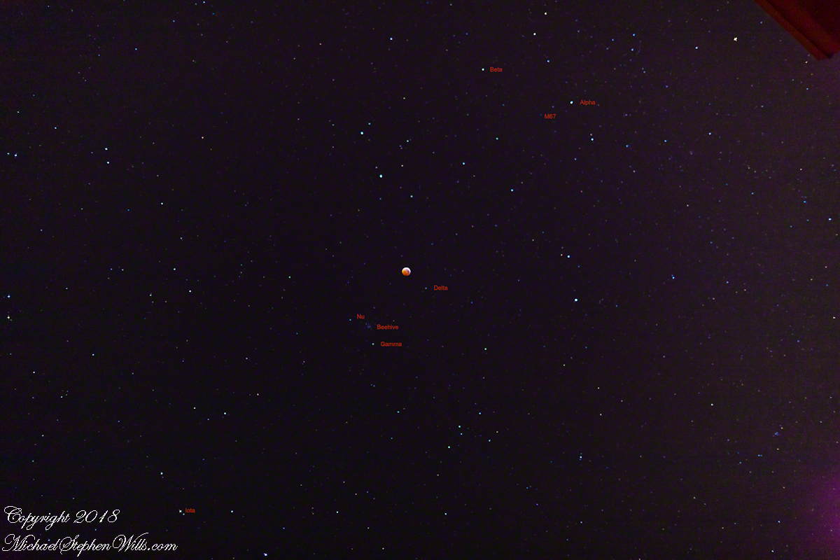
You will find I replaced photographs in the original post and well, all the major elements of Cancer are labeled. Here is an explanation of the new elements.
You can now trace the “Y” constellation pattern, with Alpha and Beta Chancri (Latin for “of Cancer”) the two claws and Iota the tail. Both elemetns of Iota, a visual binary star system, are there. They are wonderful viewed with a telescope. Near Alpha is M67 (Messier Object 67), another galactic cluster of gravitationally bound stars. It is quite faint in this photograph.
Total Lunar Eclipse and Surrounding Sky with labels for primary element of the Cancer constellation
Enter your email to receive notification of future postings. I will not sell or share your email address.
Copyright 2025 All Rights Reserved Michael Stephen Wills