Finding Circlestone

Ancient Ruins

The Searcher’s Tale

Click me for an Arizona Gallery of Fine Art prints by Michael Stephen Wills

I first learned about Circlestone from stories The Searcher told during my first backpack into the eastern Superstition Mountains, on the Tule trail, April 2005.  I described this in “Riding from Pine Creek to the Reavis Valley” where the Searcher described a stone circle, overgrown with Alligator Juniper, on the slopes of Mound Mountain.  He pointed south toward a peak and foothills that rose from the valley floor and said, “follow the fire trail east from the southern Reavis Ranch valley.”  There were strange happenings associated with Circlestone (as he called it) and he’d never taken the time to go there.  “There is a book full of stories.”  I eventually sought out Circlestone on the web and in books, but after I found it on my own using only the Searcher’s directions and advice from friends met on the way.

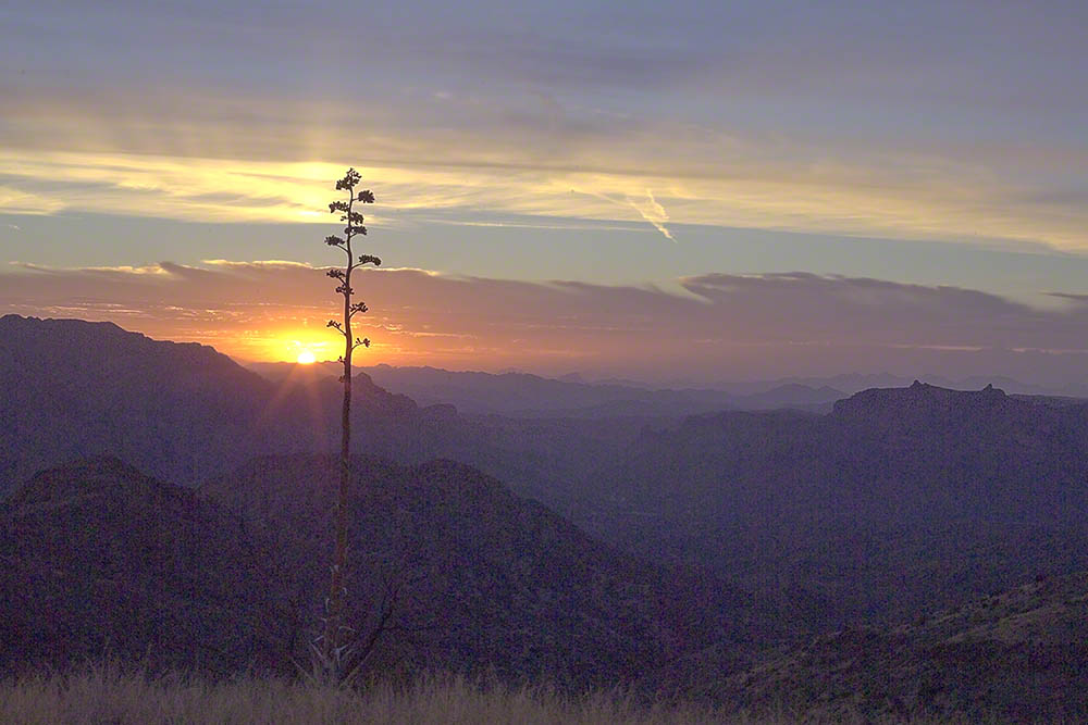
Sunset from Castle Dome

Backpacking with my sister

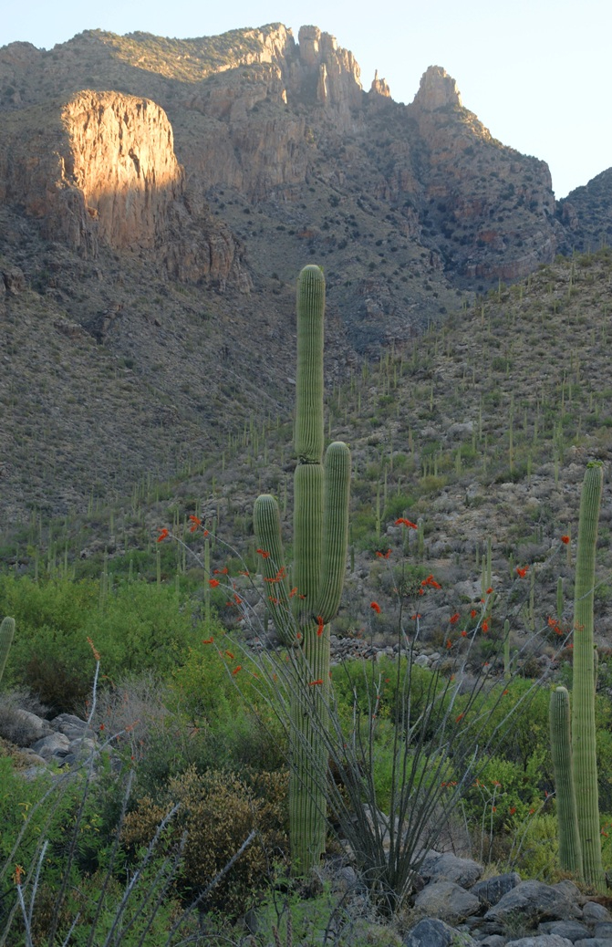
In 2006 I explored Circlestone twice along with my sister, Diane, who accompanied me.  First for nine days early March 2006 using the Reavis Ranch trail from the north and the second for five days in November 2006, coming us the same trail from the south.  Our first trip was Diane’s first “real” backpack adventure and we took it slow with a camp at Castle Dome where there are flat areas and exceptional views.  Above, is the sunset from our second night (I camped the first night next to the car…we took it very, very sloooowwww).

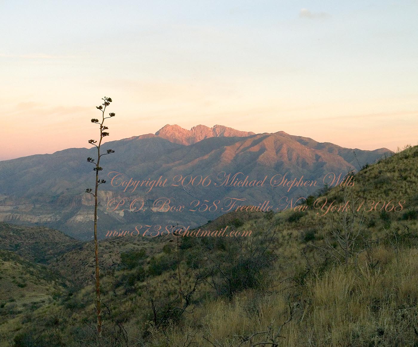
Four Peaks Sunrise

Castle Dome

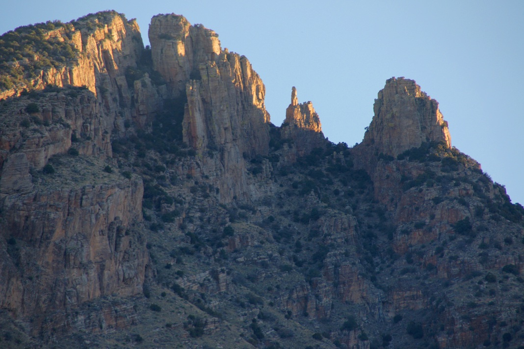
Then, there was morning of our third day.  Here is the Four Peaks Wilderness in the first rays of dawn.  These are green, rolling foothills of grass, low shrubs and a few juniper.  If you know where to look, there’s an unmarked trail to Reavis Falls (the highest waterfall in Arizona).  I found the trail and visited the falls on a later trip.

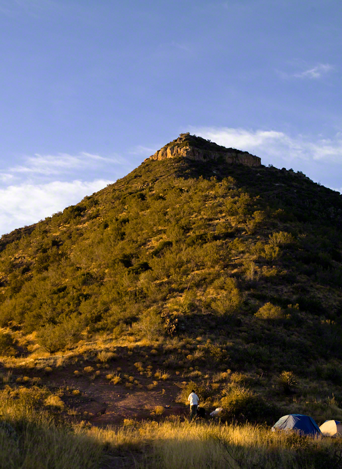
Castle Dome Sunrise

After enjoying the Four Peaks, you turn around and see Castle Dome in the morning light, as in this photograph.  Remember the same of the “dome”, because it is visible from the ultimate view from Circlestone.

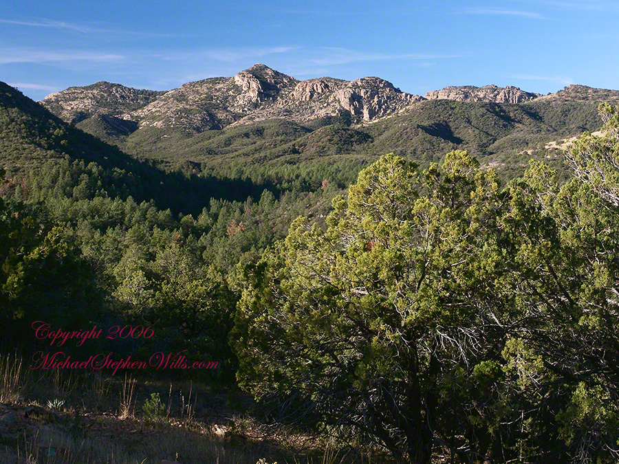
Reavis Valley and White Mountain from the trail to Circlestone

The Trail to Circlestone

Our camp was in the Reavis Valley, one of the first sites along the creek coming from the north.  There were fantastic rock formations across the creek.  Not far from there, the land falls away into steepness and then Reavis Falls.   The Searcher told me about going that way, once.  There is no trail down to the falls overlook and deep canyon carved by the water.

This photograph, above, is from a lovely forest of pinyon trees that grow along the trail to Circlestone (described by the Searcher as rising from the southern Reavis Valley).  You can see the valley, just to the right, and a longer and steeper valley that rises from it up to White Mountain.  That way is the southern legs of Reavis Trail.  I have a movie clip from this same spot of the pinyons moving in the breeze and may post it at a later time.

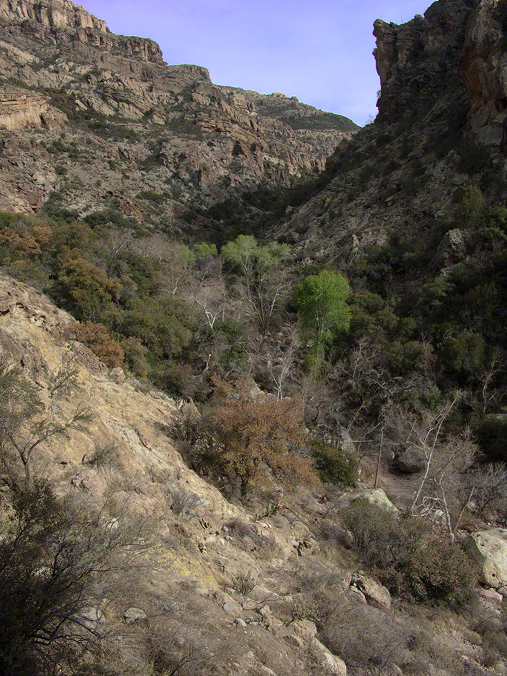
All of the trail to Circlestone is a climb.  You pass over “Whiskey Spring”, named for a still kept there in the 1800’s and over a steep defile gouged from the rock.  The trail is well marked and I am told that, sometimes, there is no cairn marking the trail to Circlestone.  If you are desperate to get there, look-up some excellent hiking directions available on the web.  I have even found the circle on GoogleEarth, since I know where to look.  If you like a challenge and the adventure,  go from the directions the Searcher gave me.

Four Peaks from Circlestone

From the fire line trail, the unmarked branch to Circlestone climbs steeply and follows a ridge through Alligator juniper, punctuated by stalks of century plant, to a broad way that rises to Circlestone as though to a monument overgrown by the same juniper.

My Circlestone Mystery

There was an unusual experience on our first trip, on this portion of the trail.  We were winding through the Juniper and, as it happened, Diane fell behind.  After awhile I missed her and waited and, after a minute, went back to look for her.  I found Diane sobbing uncontrollably, deep in grief over our father who passed away eleven years before.  We talked about it until she felt better.  She said it was as though a door opened and she could feel out father.  What makes this exceptional is Diane is not given to anything like this and I ascribe her deep grief to the nature of the site.  It is a mystery to this day.

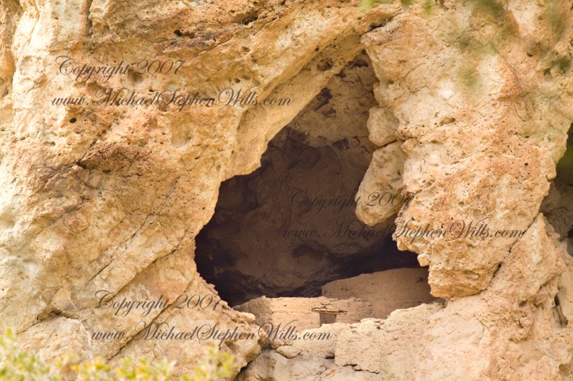
At Circlestone, that first trip, we explored and experienced the site.  You cannot see the entire wall at any point and need to wander through and over it, being careful not to disturb anything.  Here and there, in the outer wall, are openings like the one in this photograph.

Site-Hole in the Circlestone Wall

At Circlestone

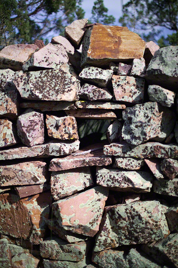
I call it a site hole because, on your knees, it is possible to look through and see the distant view through the trees.  As you can see, the stones are a striking red color with green lichen growing thick.
On the second trip in November, knowing the way and having great weather, I brought my cameras to capture the exceptional views, one of which is above.  I’d dearly love to come back to camp just below the ruin and do some work in the evening and morning light.  For now, I can enjoy those views from Castle Dome.

Three Horsemen and Castle Dome

Can you see the dome in the middle distance.  I did a portrait of three horsemen who road up to Circlestone in November.  We came to know them pretty well, that afternoon and the following morning down in the valley.

Three Horsemen

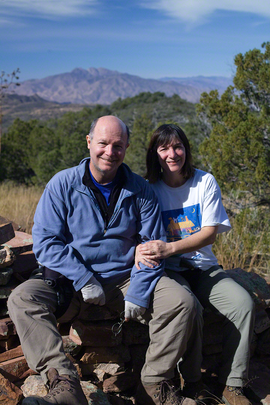
I carted up a tripod, so you can see Diane and I in the same spot.

Mike and Diane at Circlestone
Copyright 2023 Michael Stephen Wills, All Rights Reserved

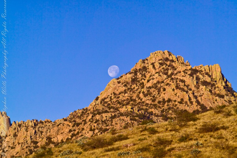
Cochise Stronghold and Moon

at dawn

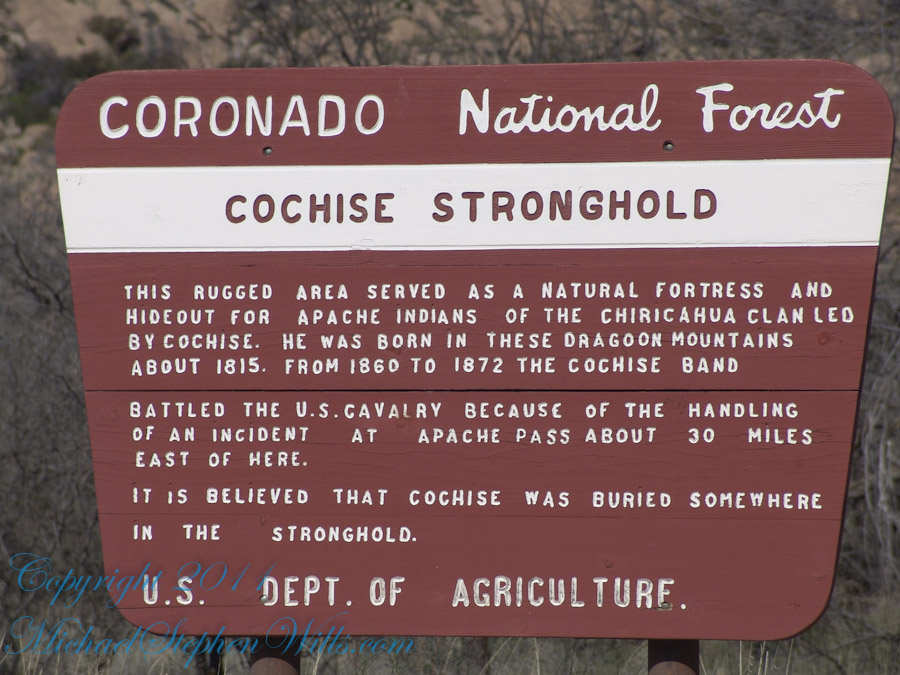
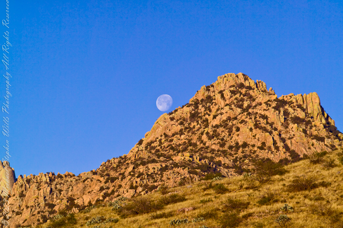
Interstate 10 between Benson and Wilcox ascends through a field of enormous, eroded granite boulders. Off to the west are the Dragoon Mountains, otherwise known as “Cochise Stronghold.” This rugged area served as a natural fortress and hideout for Apache Indians of the Chiricahua clan led by Cochise. He was born in this Dragoon Mountains about 1815. From 1869 to 1872 the Cochise band battled the U.S. Calvary because of the handling of an incident at Apache Pass about 30 miles east of here. It is believed that Cochise was buried somewhere in the Stronghold.
Click me for an Arizona Gallery of Fine Art prints by Michael Stephen Wills

Informative sign at campsite

One April morning, very early, on the road to Cochise Stronghold. We stopped everything for me to unload the equipment to capture a gibbous moon low in the west, grazing a hoodoo ridge of Cochise Stronghold of the Dragoon Mountains. Near Dragoon, Cochise County, Arizona

Copyright 2023 Michael Stephen Wills All Rights Reserved

First Day

Spring Equinox

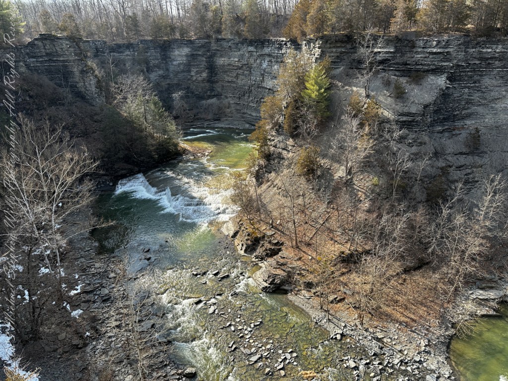
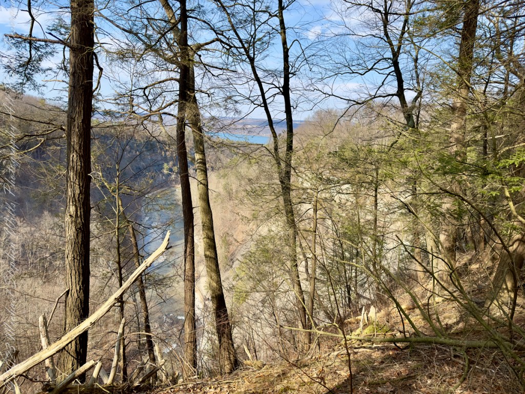
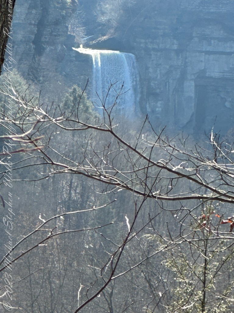
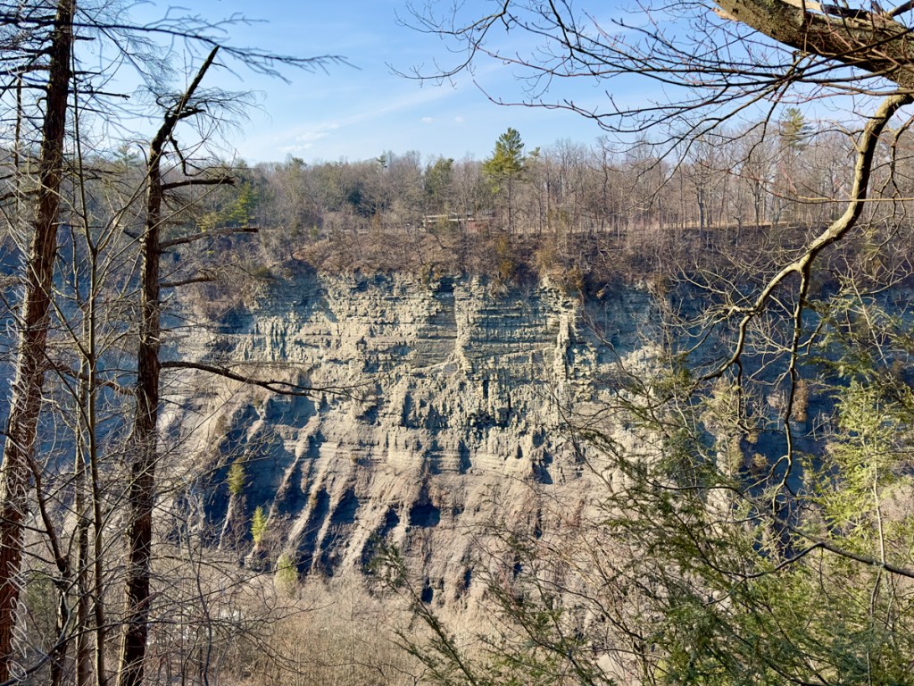
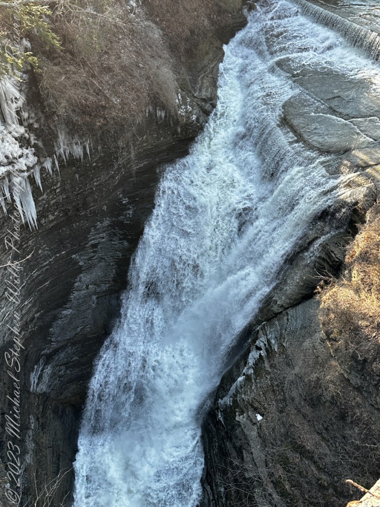
Thank You for exploring with me the South Rim trail of Taughannock Falls State Park on this first day of Spring 2023.

Photographs with video from this walk, with nature sounds and music in 4K HD
Click photograph for a larger view. To do this from WordPress Reader, you need to first click the title of this post to open a new page.

Click me for another Taughannock post, “Cuteness Break.”

Lake on Early Spring Afternoon

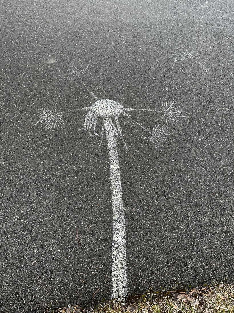
Out of Season Dandelion

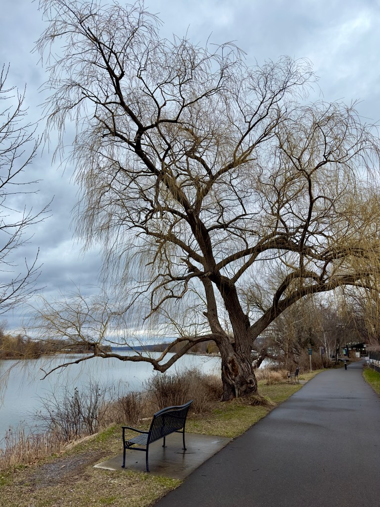
A willow, nurtured by Cayuga Inlet waters, with a bench.

All photographs are from the Apple IPhone 14 ProMax, raw format and perfected on the phone.

Click Me for more photographic art from my OnLine Gallery, “Finger Lakes Memories.”

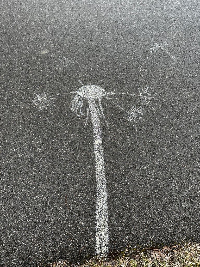
Stenciled on asphalt pavement along the Cayuga Lake Inlet, the white paint delimits dandelion flower stalk and seedhead, mostly denuded, with floating seeds held aloft by the pappus.

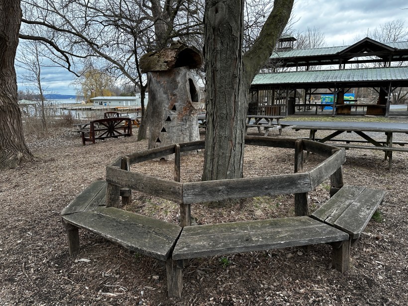
A circular bench that has seen better days, a hollowed out tree trunk repurposed as a children’s playgound house, picnic benches and, in background, a portion of the Farmer’s Market pavilion, to the right is Johnson Boatyard, Cayuga Inlet and lake. This is the Steamboat Landing, historically the southern port on Cayuga Lake. The entire area is long overdue for a facelift.

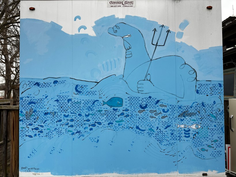
Painted on the side of restroom building, various shades of blue, black outlines, something or other holding a trident surrounded by fanciful fish.

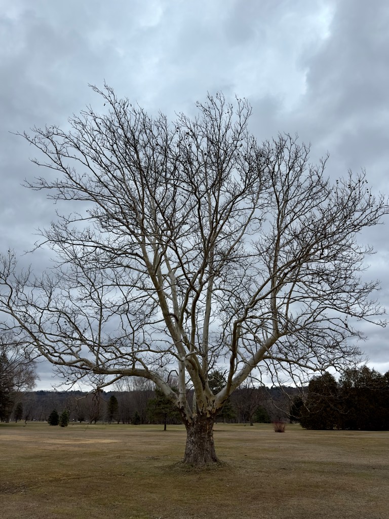
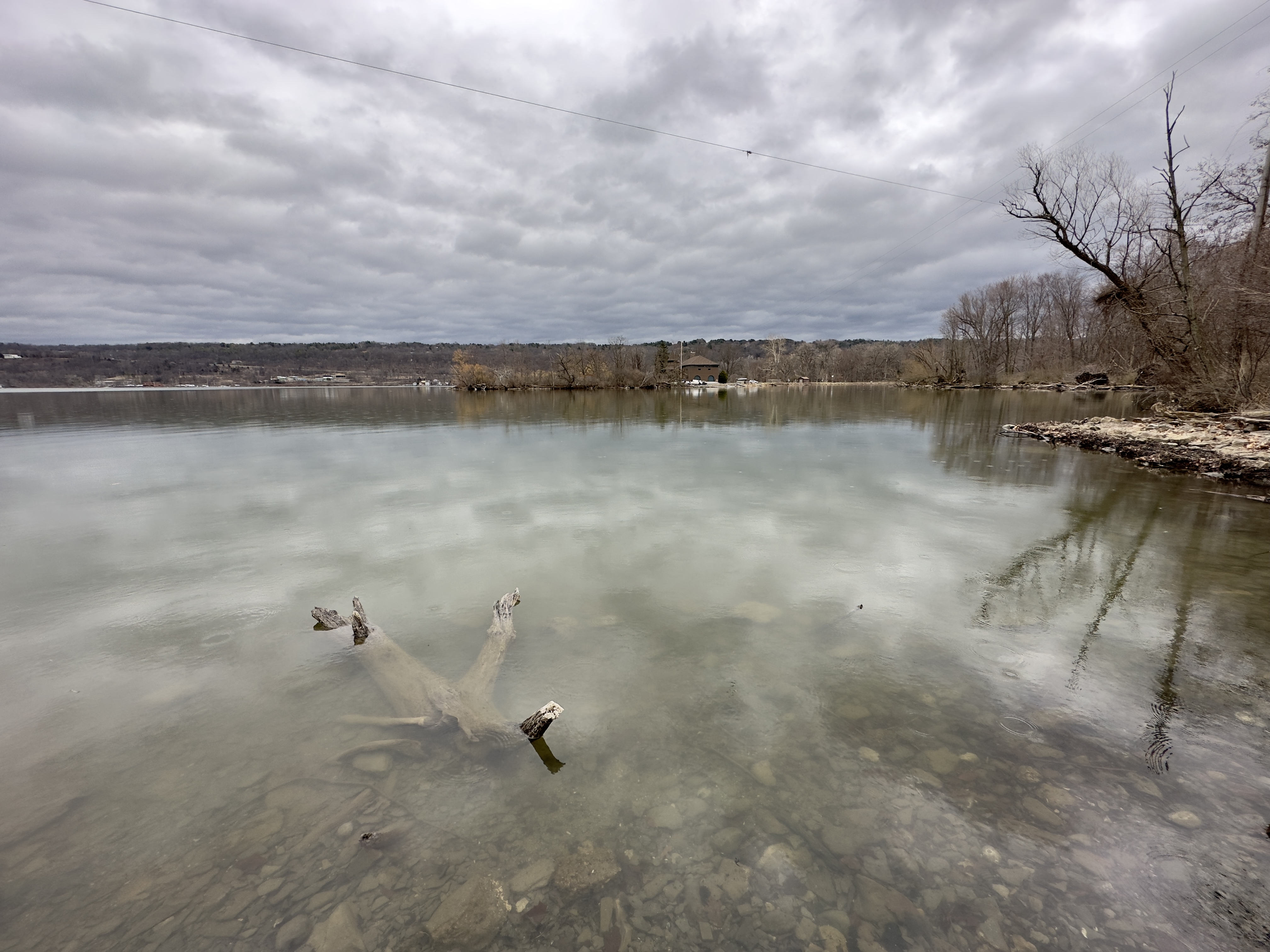
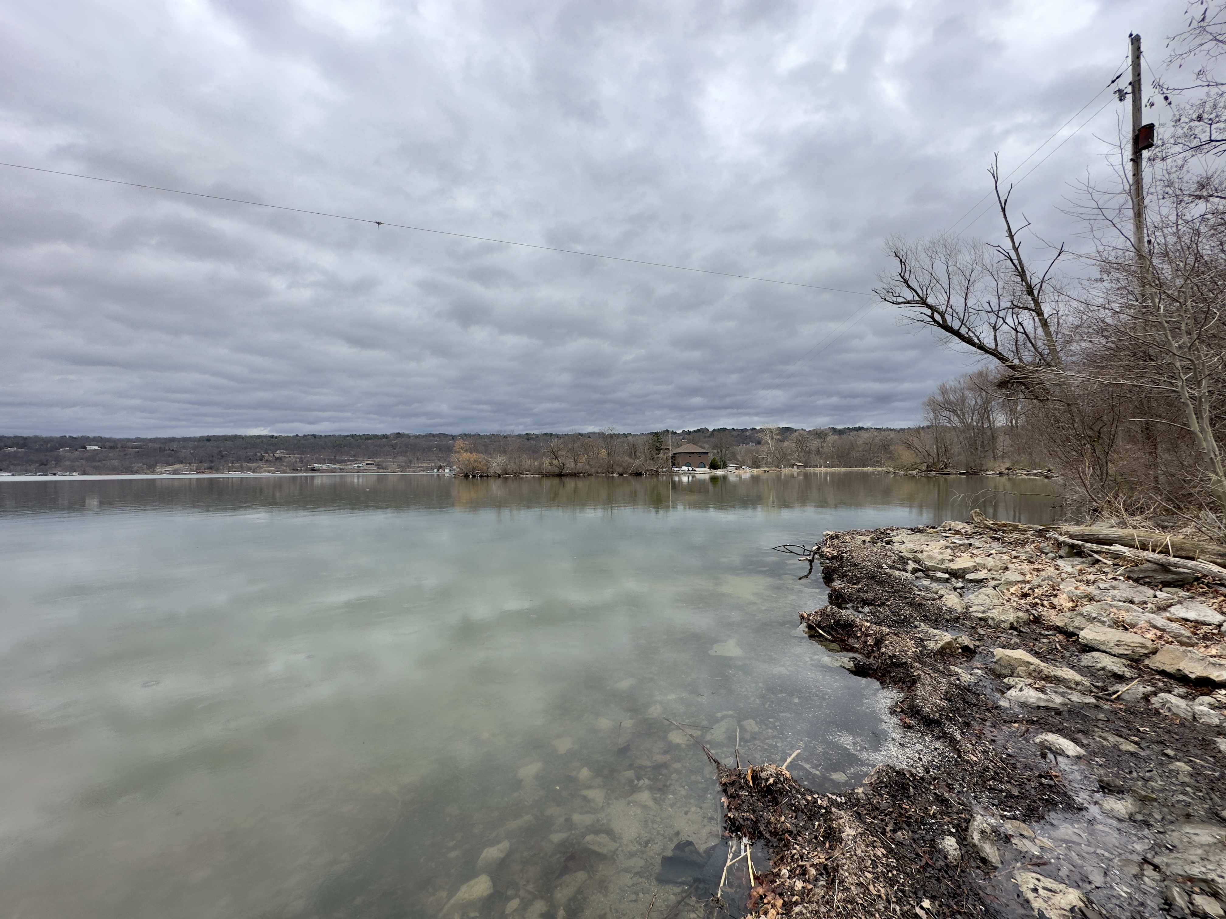
On the trail to Lighthouse Point, this tree is in fine winter form on this early spring afternoon in March. Newman Municipal Golf Course

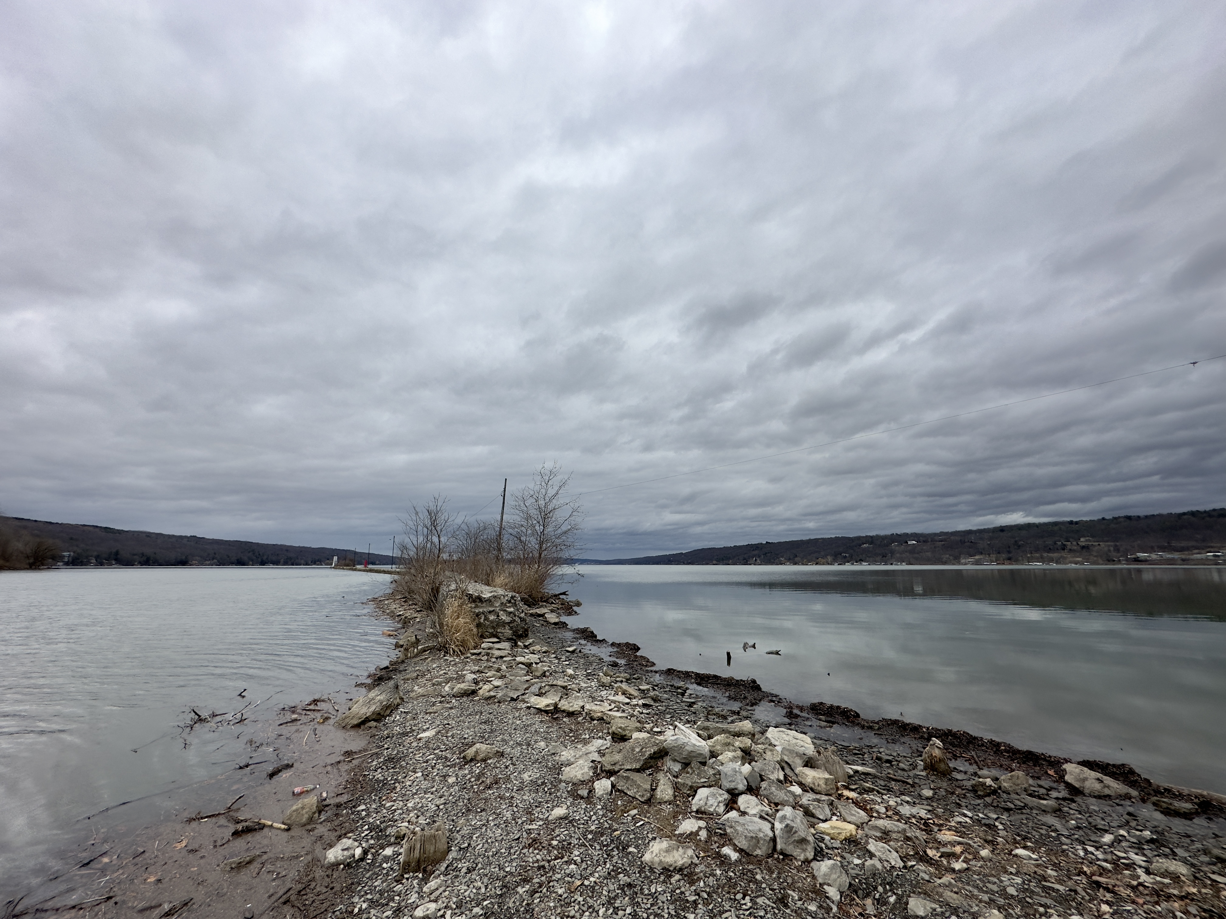
Cayuga Lake Views from Lighthouse Point

Copyright 2023 Michael Stephen Wills All Rights Reserved

Typha

cattails

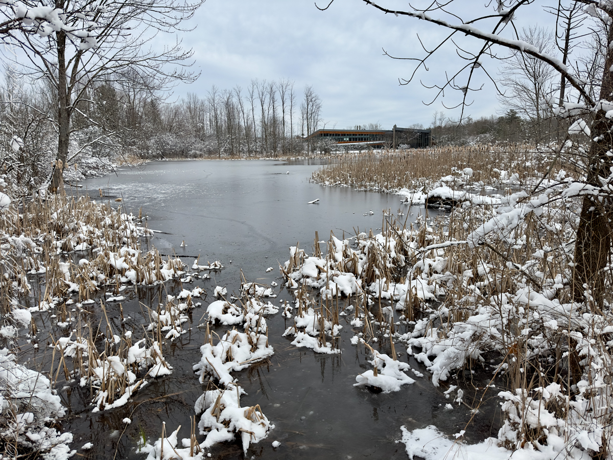
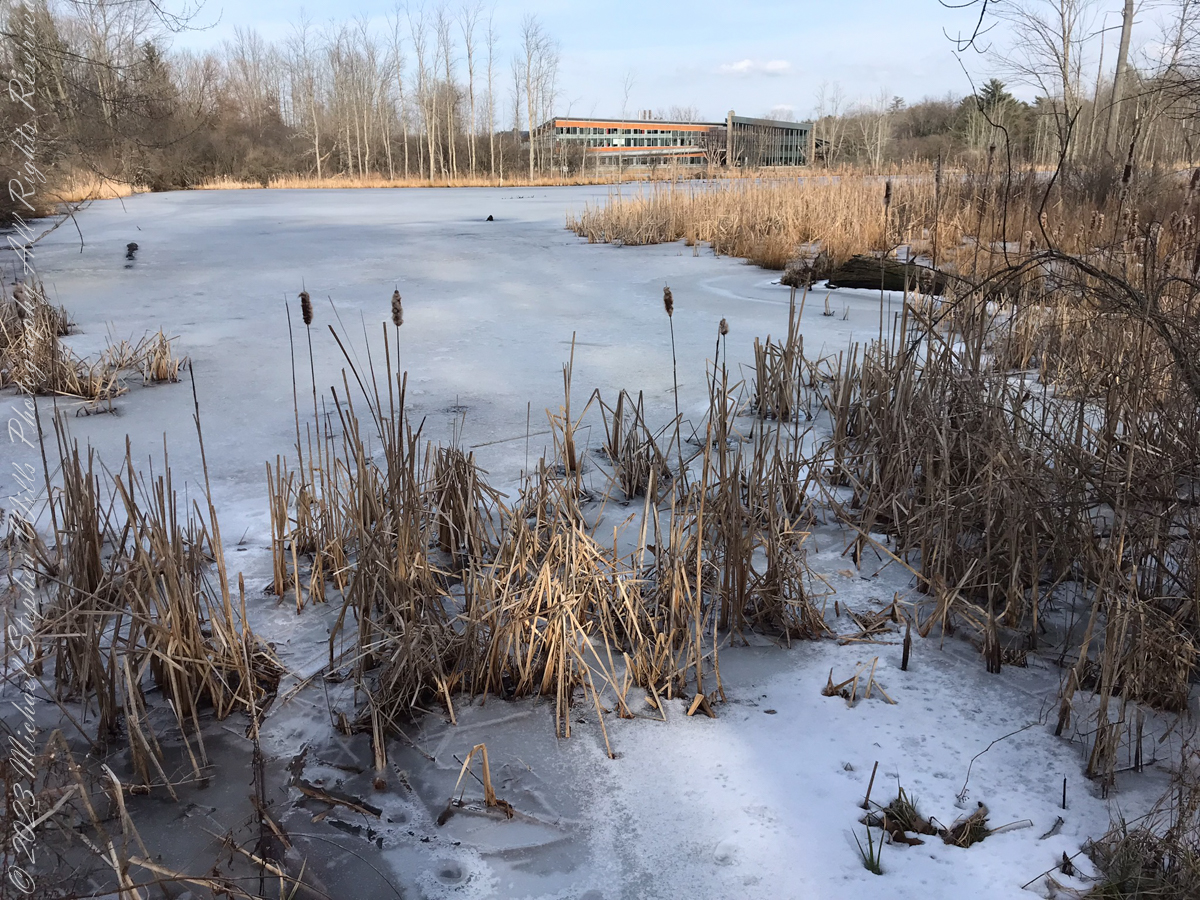
These two views of Imogene Powers Johnson Center for Birds and Biodiversity across Sapsucker Woods Pond on a March afternoon are separated by 12 months, a year. Wilson Trail, Sapsucker Woods, Cornell Lab of Ornithology, Ithaca, Tompkins County, New York.

Click Me for “Finger Lakes Memories” my online gallery.

2023 using the IPhone 14 ProMax triple camera, raw format, edited on the phone

In the foreground is the cattail plant, the North American species Typha latifolia.  There are over 30 species in this useful genera. 

2022 using the IPhone 7 back camera

Culinary

Many parts of the Typha plant are edible to humans. Before the plant flowers, the tender inside of the shoots can be squeezed out and eaten raw or cooked. The starchy rhizomes are nutritious with a protein content comparable to that of maize or rice. They can be processed into flour with 266 kcal per 100 grams and are most often harvested from late autumn to early spring. They are fibrous, and the starch must be scraped or sucked from the tough fibers.  Baby shoots emerging from the rhizomes, which are sometimes subterranean, can be picked and eaten raw. Also underground is a carbohydrate lump which can be peeled and eaten raw or cooked like a potato. The plant is one championed by survival experts because various parts can be eaten throughout the year. Plants growing in polluted water can accumulate lead and pesticide residues in their rhizomes, and these should not be eaten.

The rind of young stems can be peeled off, and the tender white heart inside can be eaten raw or boiled and eaten like asparagus. This food has been popular among the Cossacks in Russia and has been called “Cossack asparagus.” The leaf bases can be eaten raw or cooked, especially in late spring when they are young and tender. In early summer the sheath can be removed from the developing green flower spike, which can then be boiled and eaten like corn on the cob. In mid-summer when the male flowers are mature, the pollen can be collected and used as a flour supplement or thickener.

Agriculture

The seeds have a high linoleic acid content and can be used to feed cattle and chickens. They can also be found in African countries like Ghana.

Harvesting cattail removes nutrients from the wetland that would otherwise return via the decomposition of decaying plant matter.  Floating mats of cattails remove nutrients from eutrophic bodies of freshwater.

Building material

For local native tribes around Lake Titicaca in Peru and Bolivia, Typha were among the most important plants and every part of the plant had multiple uses. For example, they were used to construct rafts and other boats.

During World War II, the United States Navy used the down of Typha as a substitute for kapok in life vests and aviation jackets. Tests showed that even after 100 hours of submersion, the buoyancy was still effective.

Typha are used as thermal insulation in buildings as an organic alternative to conventional insulating materials such as glass wool or stone wool.

Paper

Typha stems and leaves can be used to make paper. It is strong with a heavy texture and it is hard to bleach, so it is not suitable for industrial production of graphical paper. In 1853, considerable amounts of cattail paper were produced in New York, due to a shortage of raw materials.[33] In 1948, French scientists tested methods for annual harvesting of the leaves. Because of the high cost, these methods were abandoned, no further research was done. Today Typha is used to make decorative paper.

Fiber

Fibers up to 4 meters long can be obtained from the stems when they are treated mechanically or chemically with sodium hydroxide. The stem fibers resemble jute and can be used to produce raw textiles. The leaf fibers can be used as an alternative to cotton and linen in clothing. The yield of leaf fiber is 30 to 40 percent and Typha glauca can produce 7 to 10 tons per hectare annually.

Biofuel

Typha can be used as a source of starch to produce ethanol. Because of their high productivity in northern latitudes, Typha are considered to be a bioenergy crop.

Other

The seed hairs were used by some indigenous peoples of the Americas[which?] as tinder for starting fires. Some tribes also used Typha down to line moccasins, and for bedding, diapers, baby powder, and cradleboards. One Native American word for Typha meant “fruit for papoose’s bed”. Typha down is still used in some areas to stuff clothing items and pillows. Typha can be dipped in wax or fat and then lit as a candle, the stem serving as a wick. Without the use of wax or fat it will smolder slowly, somewhat like incense, and may repel insects.

The flower stalks can be made into chopsticks. The leaves can be treated to weave into baskets, mats, or sandals. The rushes are harvested and the leaves often dried for later use in chair seats. Re-wetted, the leaves are twisted and wrapped around the chair rungs to form a densely woven seat that is then stuffed (usually with the left over rush).

Small-scale experiments have indicated that Typha are able to remove arsenic from drinking water.[37][38] The boiled rootstocks have been used as a diuretic for increasing urination, or mashed to make a jelly-like paste for sores, boils, wounds, burns, scabs, and smallpox pustules.

Cattail pollen is used as a banker source of food for predatory insects and mites (such as Amblyseius swirskii) in greenhouses. The cattail, or, as it is commonly referred to in the American Midwest, the sausage tail, has been the subject of multiple artist renditions, gaining popularity in the mid-twentieth century. The term, sausage tail, derives from the similarity that cattails have with sausages, a name given to the plant by the Midwest Polish community who had noticed a striking similarity between the plant and a common Polish dish, kiełbasa. 

Copyright 2023 Michael Stephen Wills All Rights Reserved

Nature and Big Names

barns by other names

View of Imogene Powers Johnson Center for Birds and Biodiversity from an unnamed boardwalk on an unnamed path from the parking lot. Sapsucker Woods, Cornell Lab of Ornithology, Ithaca, Tompkins County, New York

From an unnamed boardwalk on an unnamed path from the parking lot. Sapsucker Woods, Cornell Lab of Ornithology, Ithaca, Tompkins County, New York

An iced over, thawing in the March sunshine, leads to a view of Kip’s Barn that, I believe, is named for Austin Kiplinger (Cornell Graduate of 1939) the longest serving trustee in Cornell history.

Click me for more information https://news.cornell.edu/stories/2015/11/legendary-cornellian-austin-kiplinger-39-dies-age-97

Click Me for “Finger Lakes Memories” my online gallery.

Copyright 2023 Michael Stephen Wills All Rights Reserved

Stippling

After the farm

All photographs are from the Apple IPhone 14 ProMax, raw format and perfected on the phone.

Click Me for more photographic art from my OnLine Gallery, “Finger Lakes Memories.”

I wanted a shot of manifold vertical lines. I think the landscape orientation develops the texture of snow stippling. The elevated wooden walkway traverses wetland, these young trees established on slightly higher ground.

Portrait orientation emphasizes these young trees reach for the sun, rising from former farmland, off West Trail

Click Me for “Finger Lakes Memories” my online gallery.

Copyright 2023 Michael Stephen Wills All Rights Reserved

Pinelands Connections III a repost

Great Uncle Charles Wills (repost)

Click Me for the complete story

Today I spiffed up the Google Maps entry for this spot. Click the link, above, for more of this story.

Copyright 2023 Michael Stephen Wills All Rights Reserved

Holding On

Happy Saint Patrick’s Day

Elms throughout the understory of Sapsucker Woods provide late autumn golden color, here on the West Trail after snowfall, holding on until spring. Cornell University Lab of Ornithology Sapsucker Woods, Ithaca, Tompkins County, New York

Click Me for “Finger Lakes Memories” my online gallery.

Copyright 2023 Michael Stephen Wills All Rights Reserved

Habitat

Home to frogs and turtles, this perennial pond is part of Sapsucker Woods of Cornell University Lab of Ornithology, Ithaca, Tompkins County, New York

Click Me for “Finger Lakes Memories” my online gallery.

Copyright 2023 Michael Stephen Wills All Rights Reserved