A hellish shriek assaulted the cold 3 am darkness.
The scream was instantly recognizable. Anything but terrified, after a confused scramble I reinserted the pin into a personal security device hung from my backpack. Wrapped in a silly waffle weave blanket, tossing restless in the cold, the pin lanyard hung up then pulled free. Several minutes had passed with that sound flowing out over the canyon, calling all carnivores to breakfast.
I had drifted off with the wind shaking my tent like a drunken prankster and now all was totally and absolutely quiet. In spite of the cold, the inadequate blanket and the imaginary creatures looking for the source of that scream, the next two hours sped by in a fitful doze.
Agave Heart
At 5 am I crawled out to find the thinnest crescent moon imaginable gracing the eastern sky, kept company by a century plant silhouetted against the early dawn light.
Click any photograph for a higher resolution image.

Click this link to see my photograph “Superstition Spring”
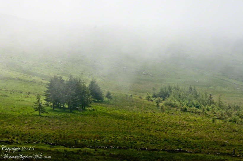
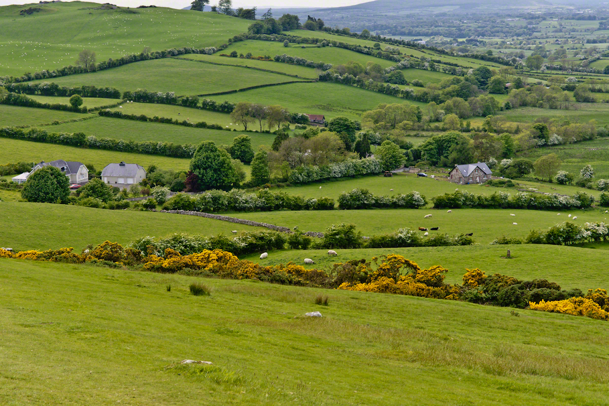
These stalks raise the golden flowers of this agave 10 to 15 feet above the green prickly rosette. Century plant stalks can be seen throughout the Superstitions, even at the high elevations among towering Ponderosa Pine.
Here is an agave in predawn light I caught on the next day, in Pine Creek canyon.
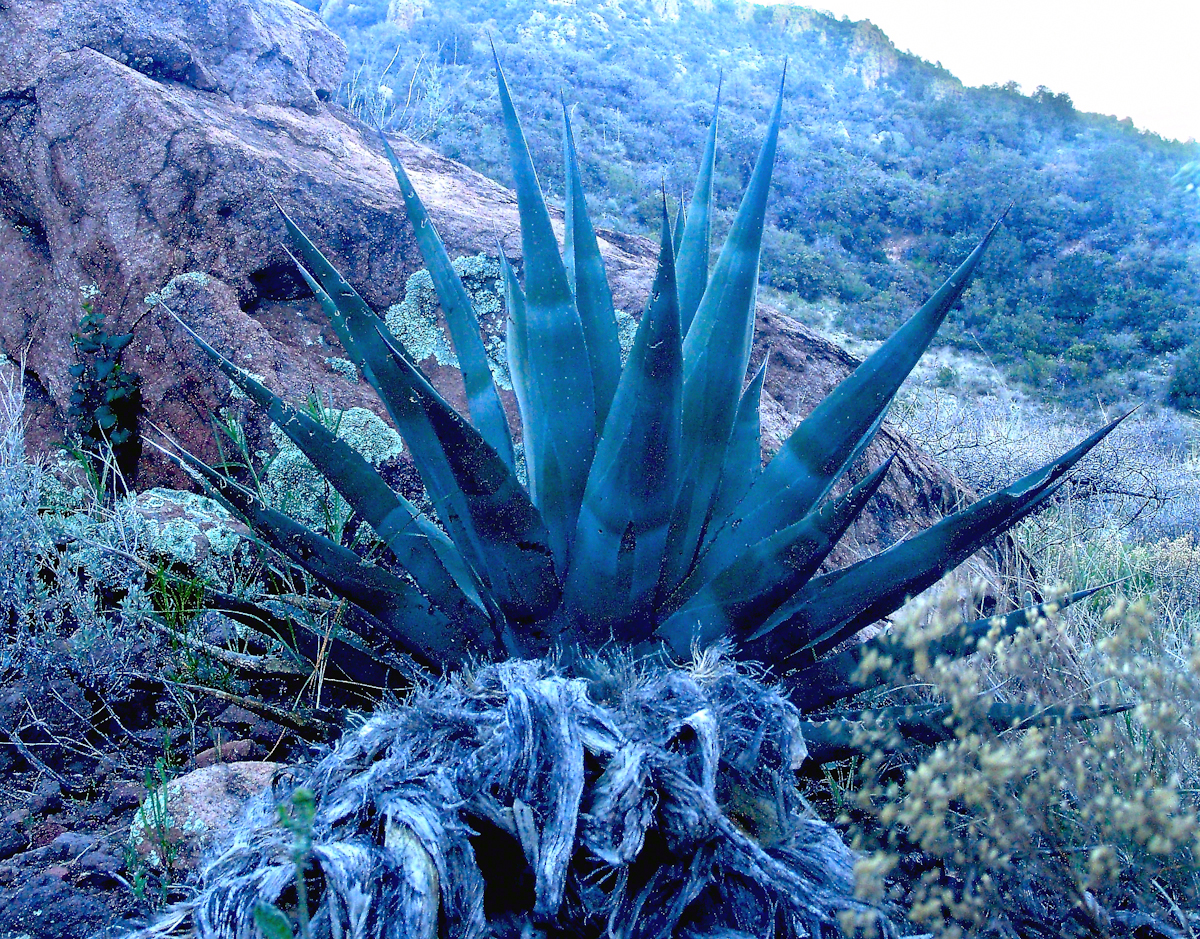
The leaves are used as needle and thread with the very sharp tip as the needle and the long leaf fibers, when properly dried and shredded, as thread. These leaves guard the agave heart from the harvest. A poke from an agave spike can be deep and painful.
The young shoots of the stalks are a succulent delicious treat raw. Roasted, the agave heart is a fresh, somewhat sweet delight. The earliest residents of this desert left numerous roasting pits on the mountain slopes, located where the agave still grows.
Dawn and the Pretty Hedgehogs
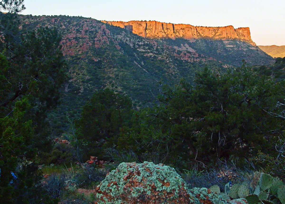
Although cold, the still dry air felt marvelous and even distant objects appeared absolutely clear. In this environment the spread of sun with its rising is a ritual. Here’s a photograph of the canyon walls a few minutes before the sun reached them.
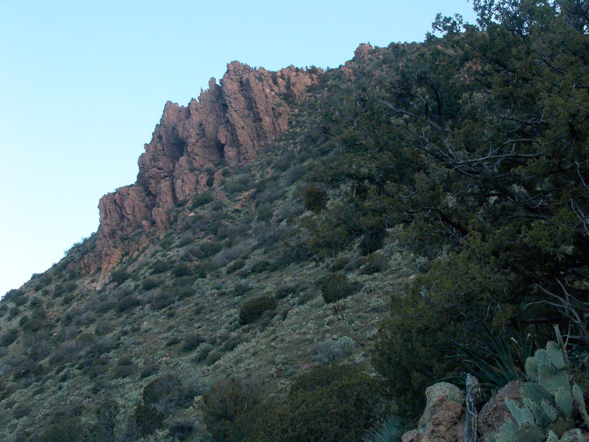
And, a few minutes later, as the sun passed the ridges of Two Bar Mountain.…
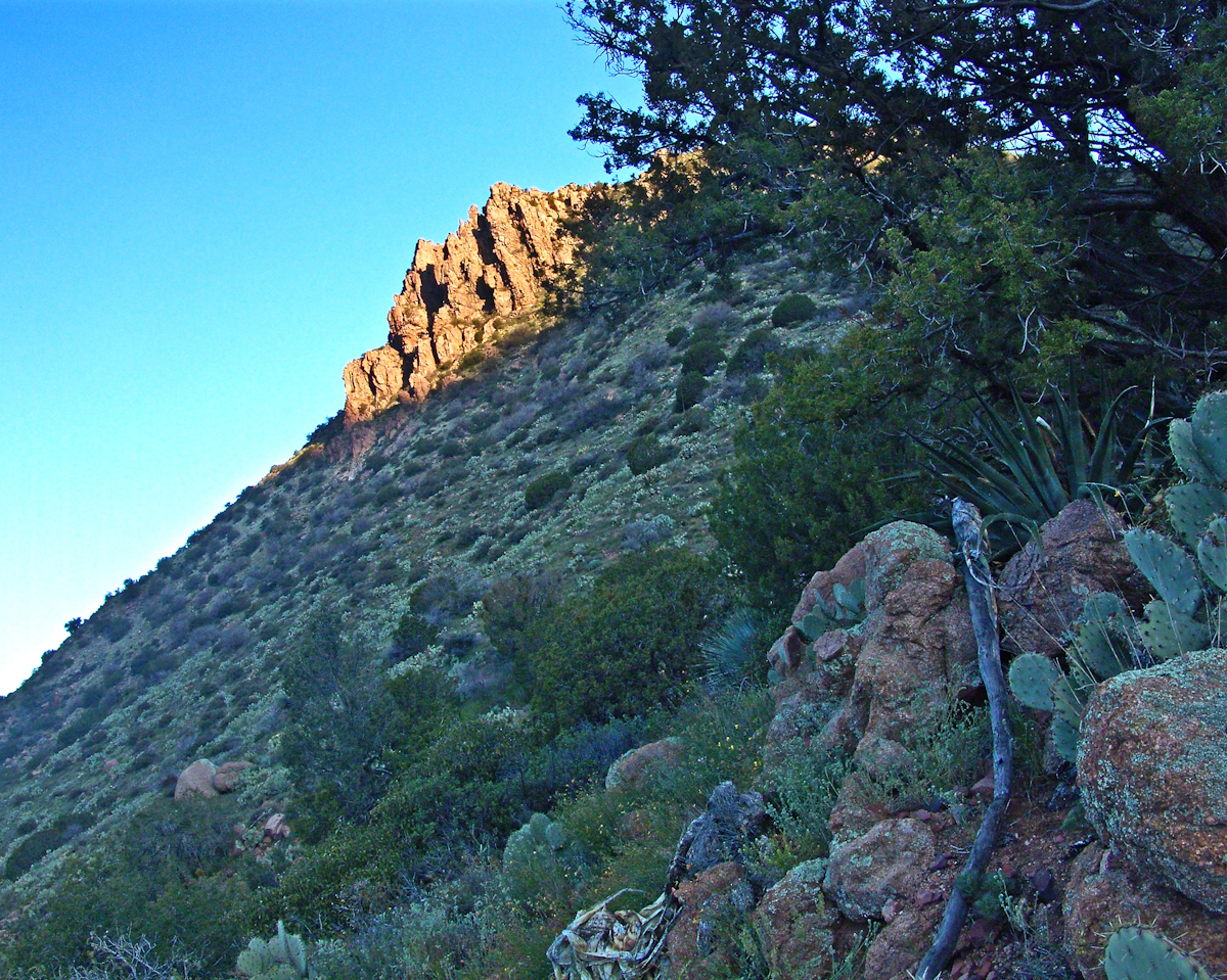
By the way, that’s a desiccated agave stalk to the lower right, on the rocks.
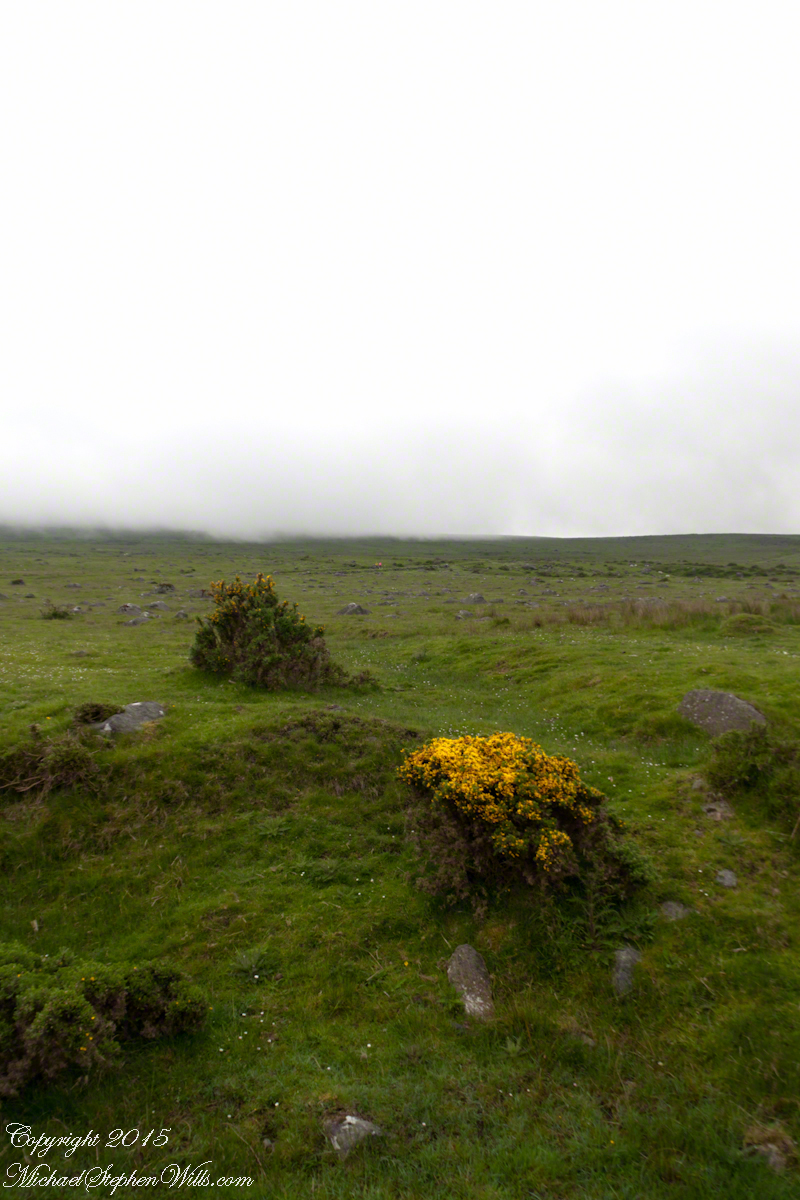
At my feet, spread at intervals on the brown red broken rock, small Hedgehog cacti bloomed lavender.
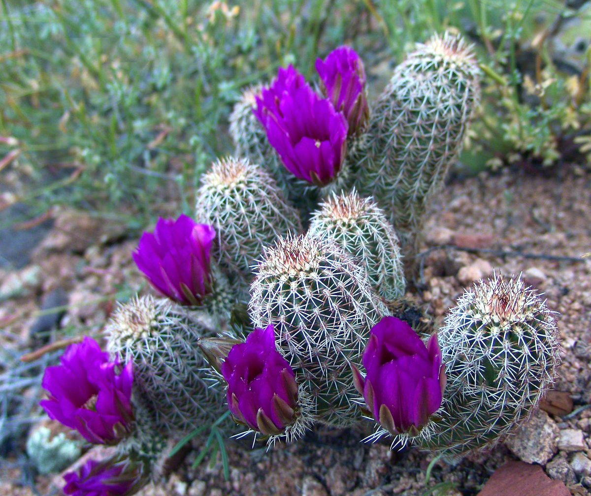
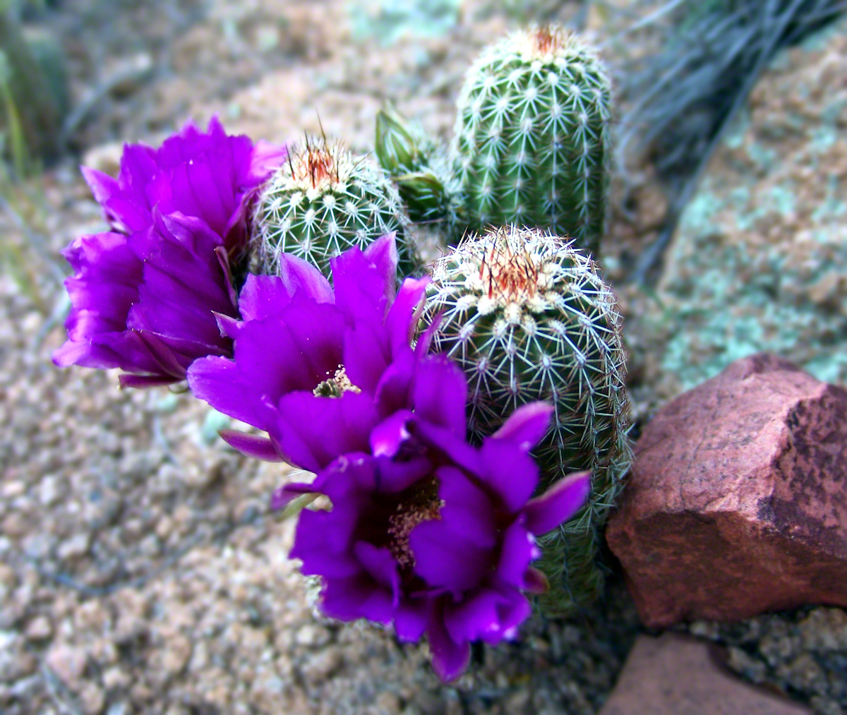
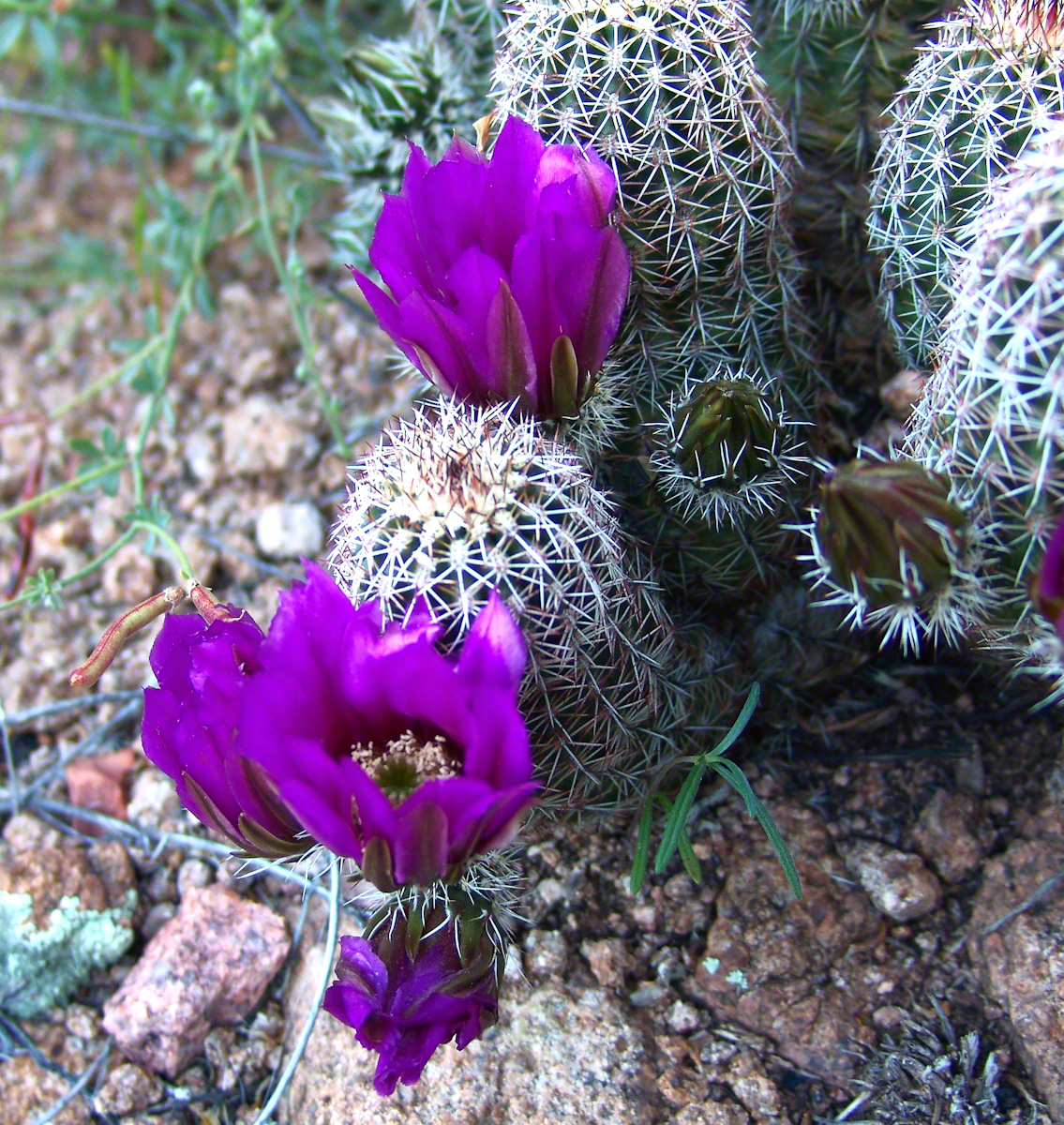
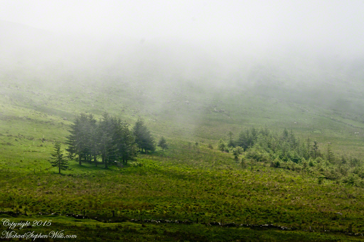
Cacti, such as the blossoming lavender Hedgehog seen above, require a space which enjoys full sunlight for most of the day. The thick grown of juniper trees limited sunlight and compete with the cacti for water. This image will give you an idea of the extent of the juniper growth.
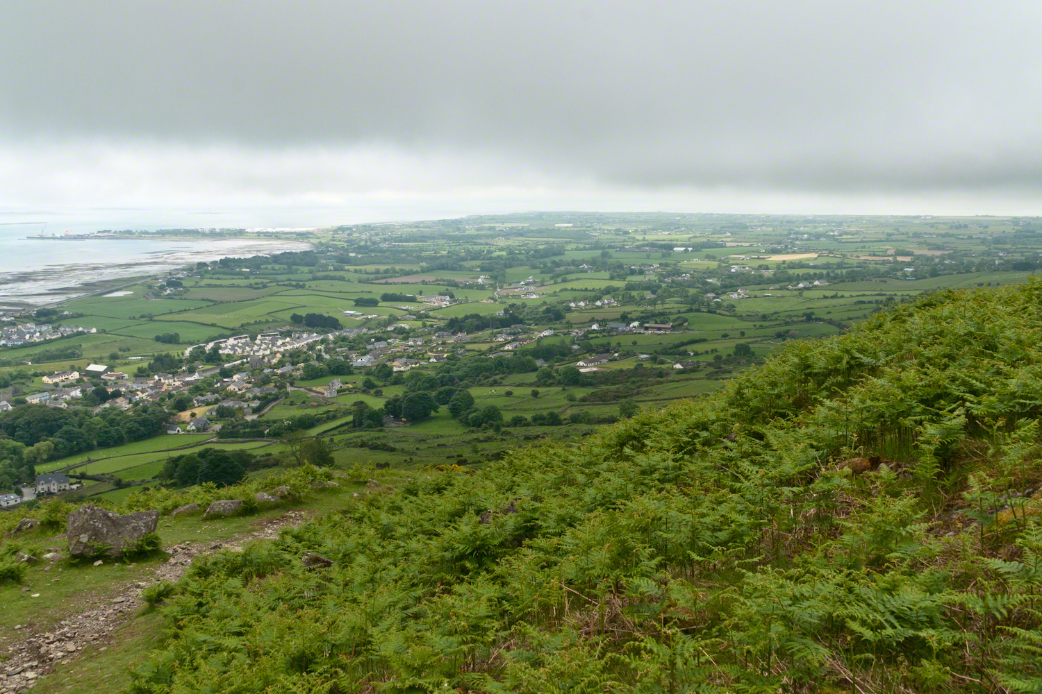
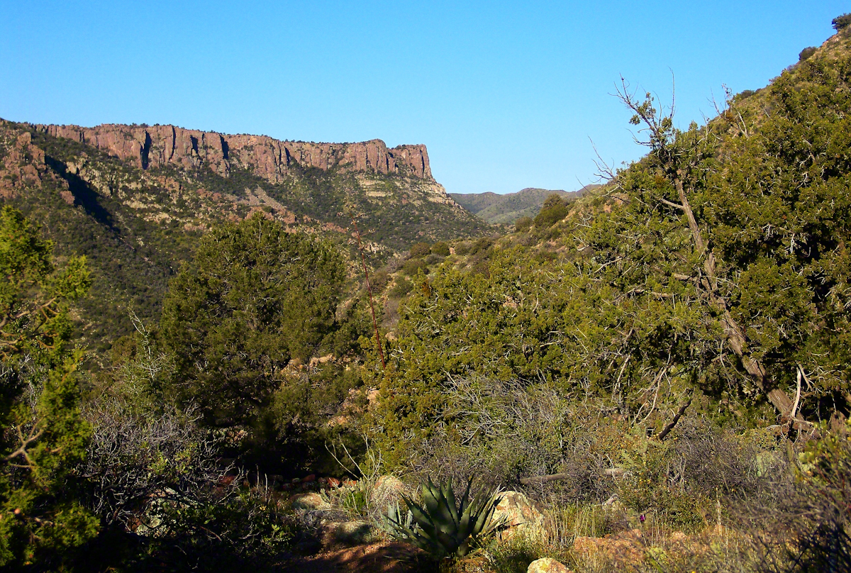
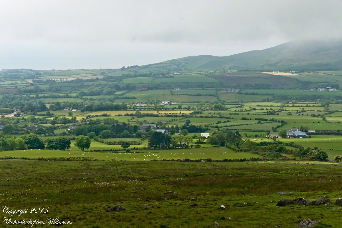
Looking into Nameless Canyon
In the above photograph you are looking west over a canyon that is unnamed on maps. The dramatic flat ridge bathed in light is a landmark marking the canyon of Reavis Falls, on the far side in this view. Make your way down the canyon where is joins Reavis Creek, turn left and the falls are a few miles upstream. This is NOT the easiest path to the falls.
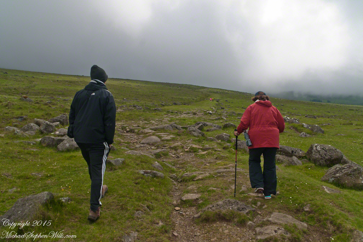
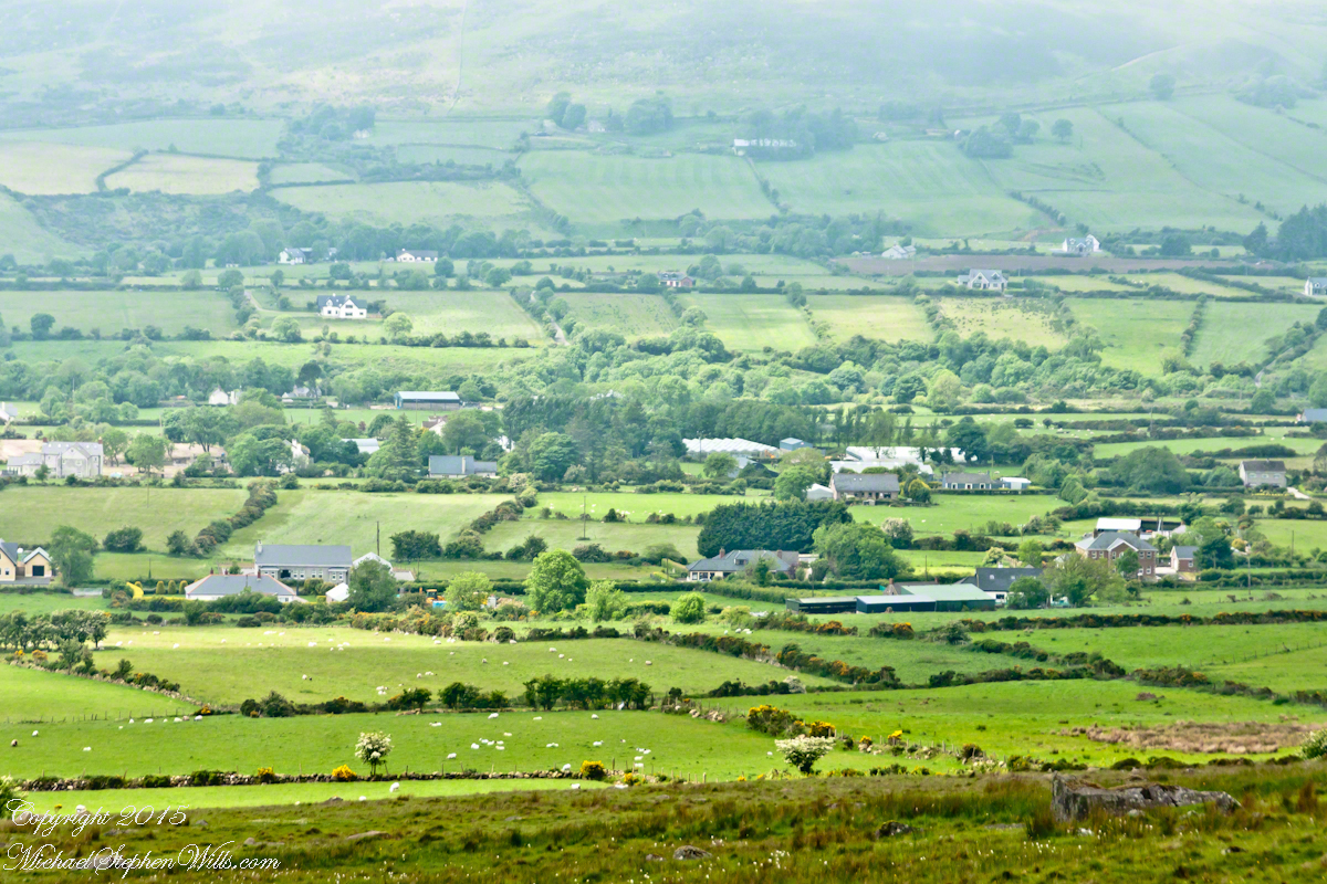
As the sun rose I needed to prepare for the day’s trekking, but took one more portrait of this lovely nameless canyon traversed by an almost non-existent path.
This season, a cold stream ran at canyon bottom. Flowing among the rocks the water produced peals of a crystal bell, but this was not my last memory of this place.
In the “Nameless Canyon Morning” image, on the left there is the almost vertical (no exaggeration) canyon wall I climbed in 4.5 hours that morning. It traversed 800 feet altitude in less than a mile. The path was substantially longer because it followed the contour lines of the land in long loops called switchbacks. As I proceeded up the canyon wall, to the southeast, above the opposite canyon wall, the memorable Four Peaks gradually appeared. Here’s the view from my lunchtime perch…..
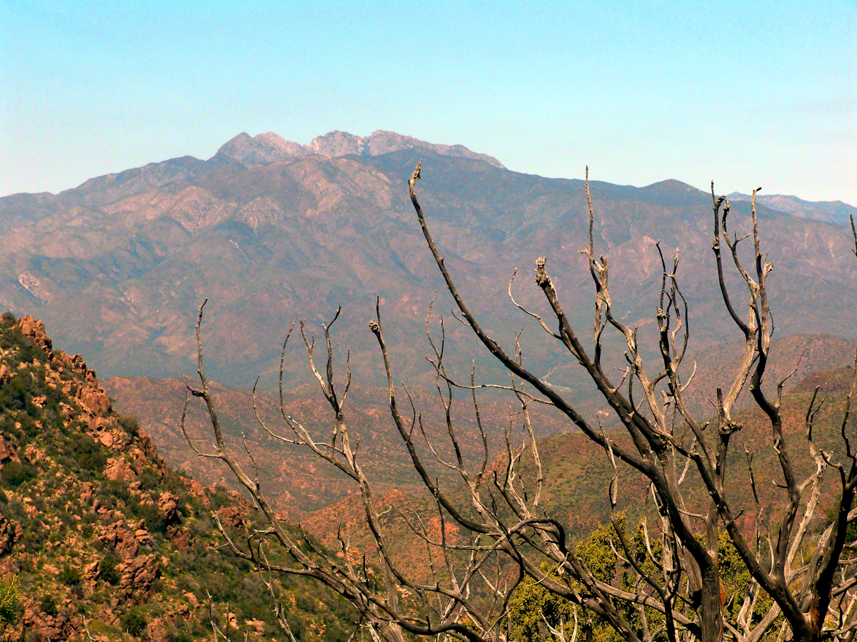
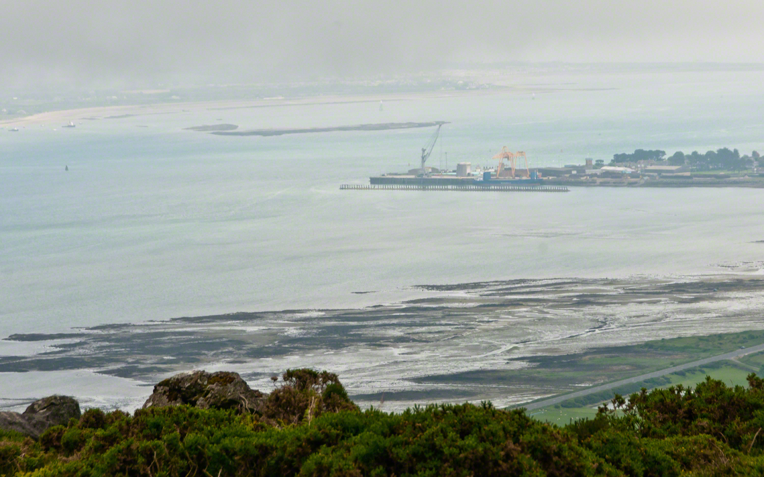
This view looks over the basin of Reavis Creek and includes the, out of sight, 140 foot high Reavis Fall, the highest free fall in Arizona.

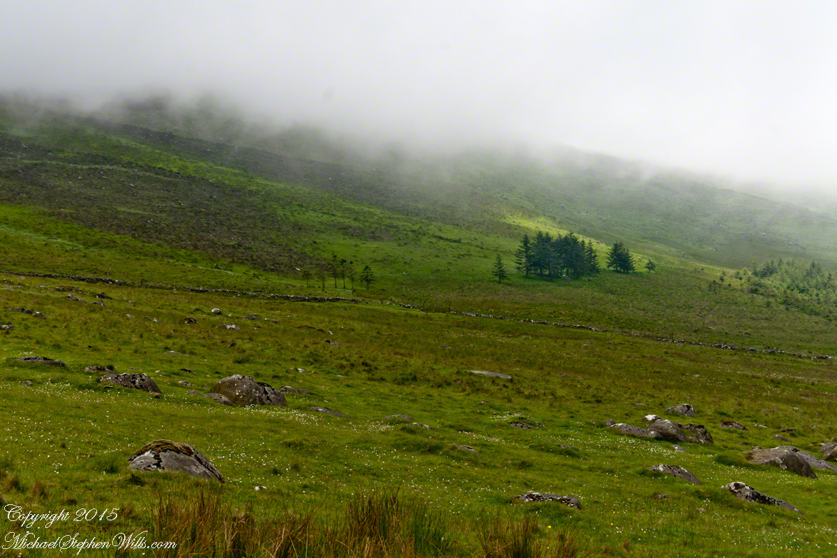
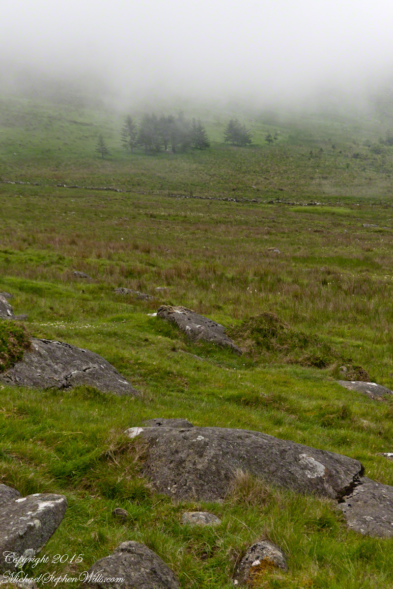
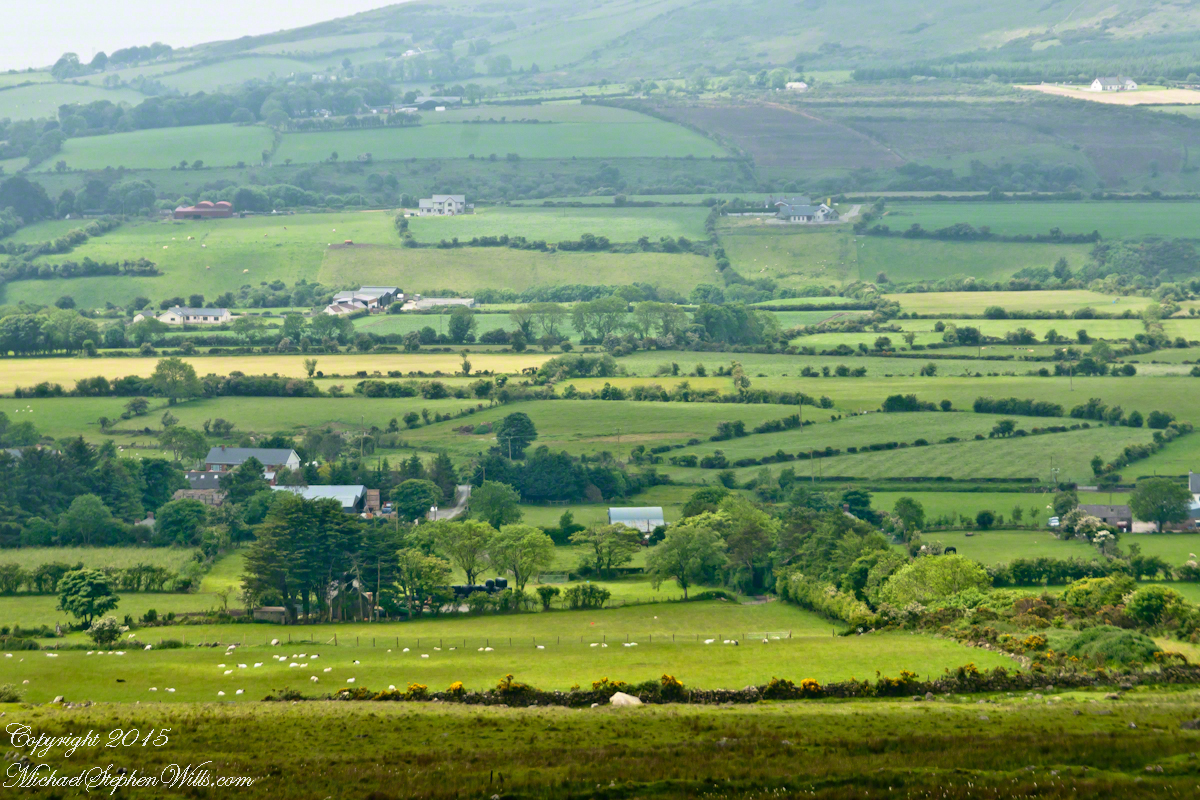
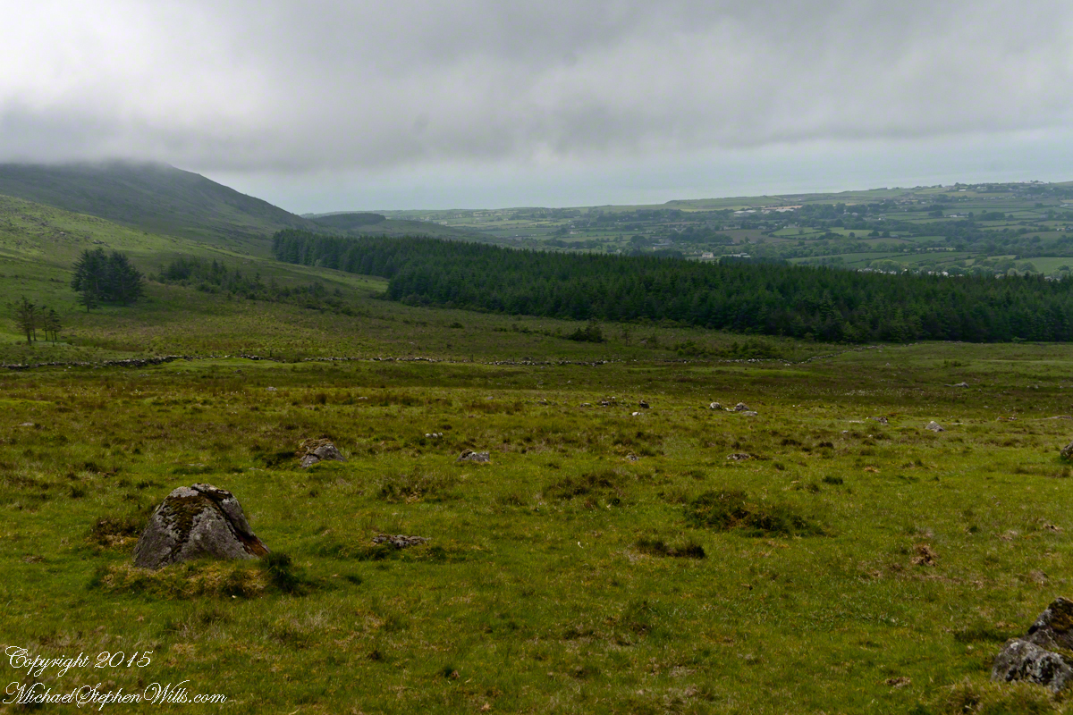
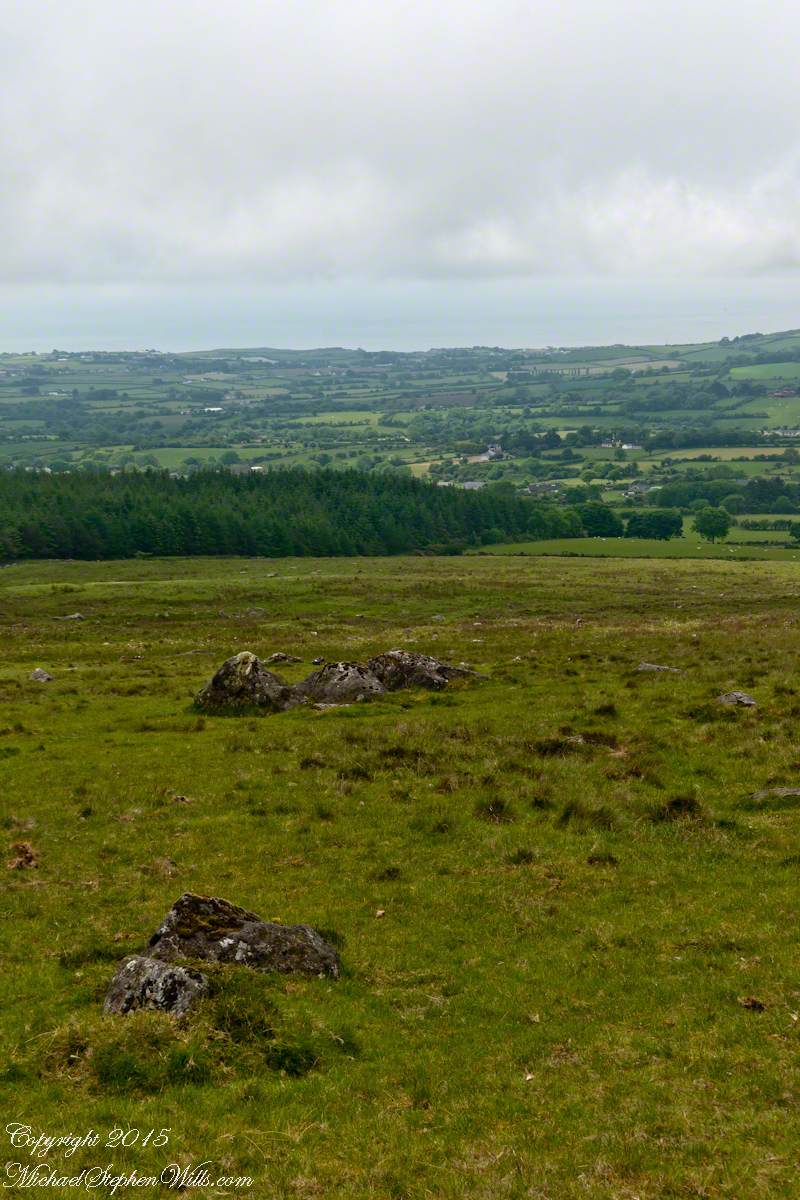
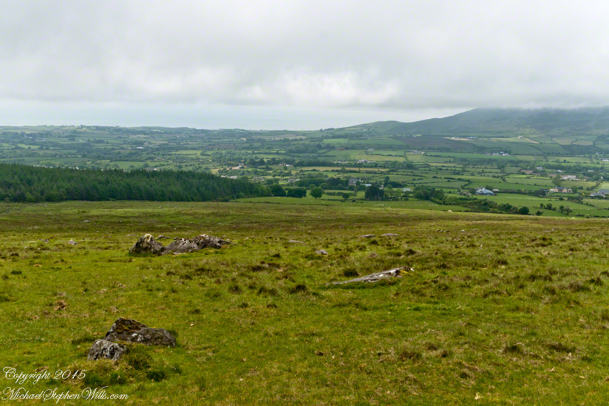
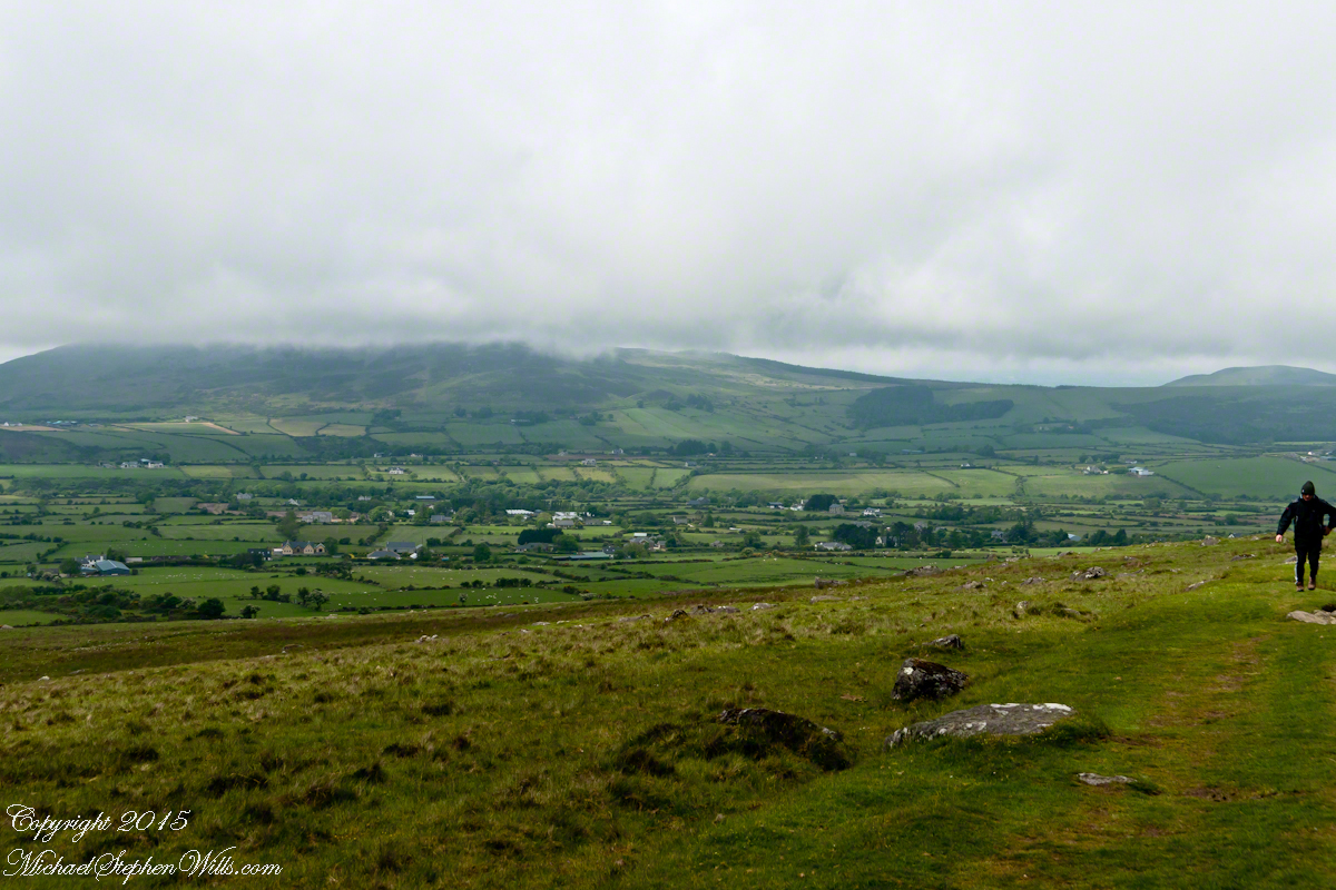


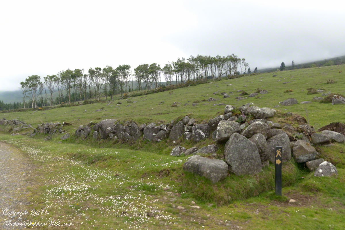

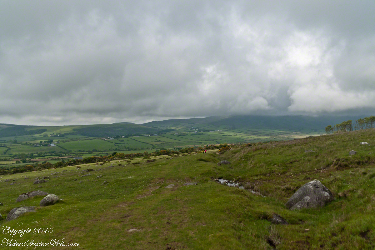


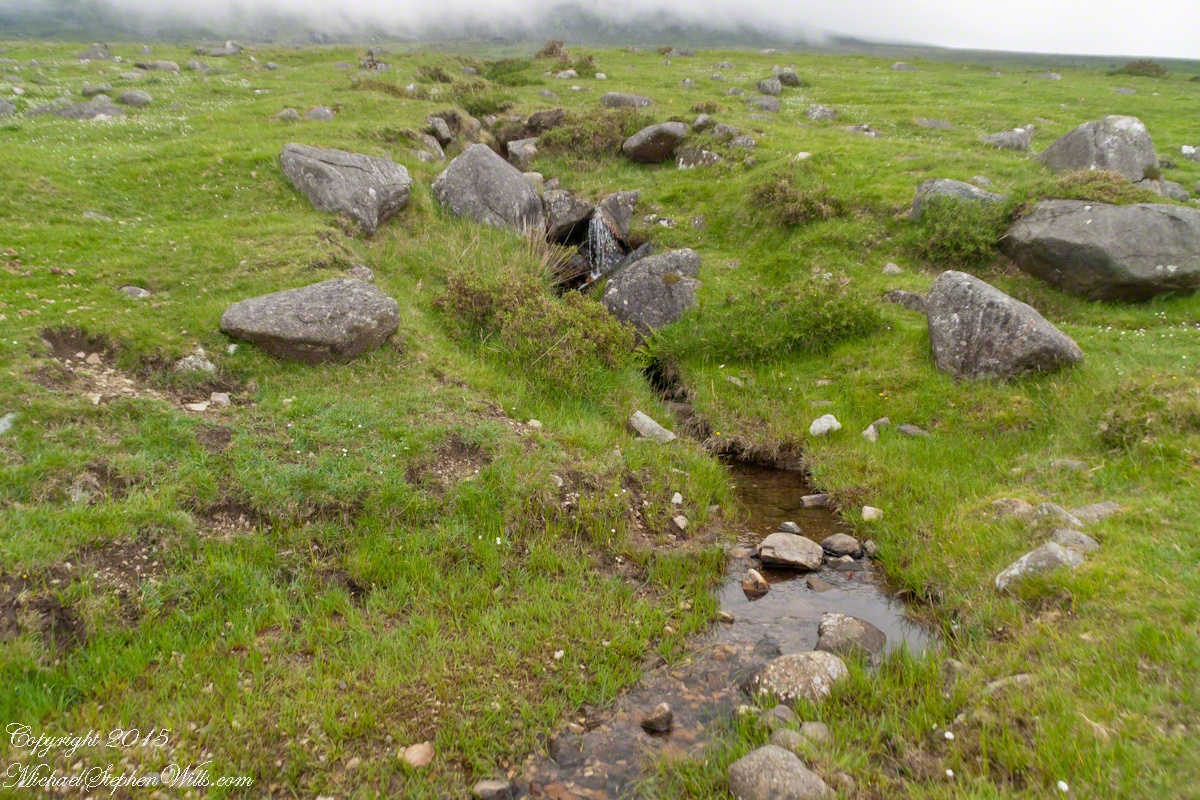
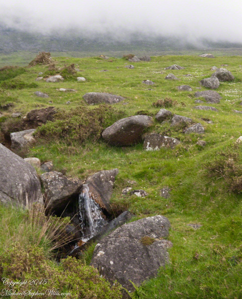
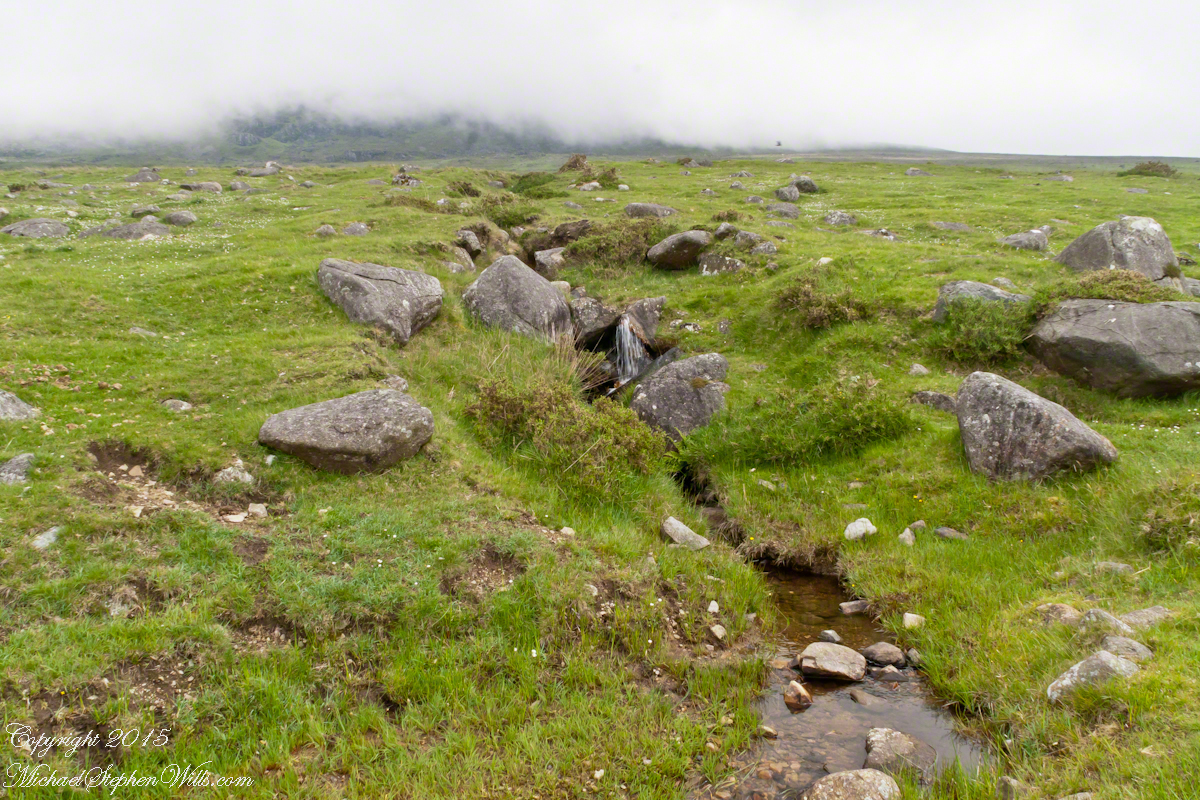
 The lower slopes hold many small stream among granite stones.