Stones That Traveled: Glacial Erratics, Deep Time, and the Stories They Leave Behind

Glacial erratics are immigrant stones—carried south by ice, dropped without explanation, and left behind to challenge our sense of permanence, place, and deep time.

There are rocks that merely sit where gravity has placed them, and then there are rocks that arrive with stories already embedded—foreign syllables carried south on ice, dropped without explanation, and left for us to puzzle over. Glacial erratics belong to the second category. They are migrants with no passports, refugees of deep time, whose presence quietly contradicts the landscape that hosts them.

Long before anyone reached for a hand lens or an ice-flow diagram, people answered such contradictions with imagination. In Ireland, a boulder perched just so on a mountain side is not a geologic problem but a resting place. Leprechauns, we are told, favor such stones—high enough to observe human intrusion, solid enough to outlast it. Skepticism, as folklore reminds us, is not always a stable position. Kevin Woods—better known as McCoillte—found that out the hard way when doubt collided with experience on the slopes of Slieve Foye. What followed was not merely a conversion story, but an act of modern mythmaking: folklore translated into bureaucracy, imagination petitioning regulation, and “The Last Leprechauns” entering the unlikely language of conservation. Stone, story, and belief hardened together into something oddly durable.

Rocks such as this are a favorite perch for leprechauns to rest and contemplate the works of man who have invaded their world. Inhabitants of Carlingford who wander Slieve Foye have come upon them often enough, their stories and certitude in the existence of the Little People are resistant to manifold doubters with their reasons and arguments. Kevin Woods, aka McCoillte, was a doubter until worked on a stone wall on property he owned on Ghan Road, Carlingford. His belief did not arise on the discovery of the leather purse, covered with ages of dust and lime, nor with the gold coins inside. McCoillte pocketed the coins for luck. As luck would have it, McCoillte loved to walk on Slieve Foye. It was on one such walk he and his dog encountered Little People who paralyzed them to escape. His unexplained absence led to troubles with the wife. This experience brought McCoillte around to enough of a belief that he, with lots of help, succeeded in petitioning the E.U. European Habitats directive to recognize leprechauns a protected species. A reserve was establish on Slieve Foye to protect the “Last Leprechauns” and you can google this phrase to learn more about McCoillte’s stories.

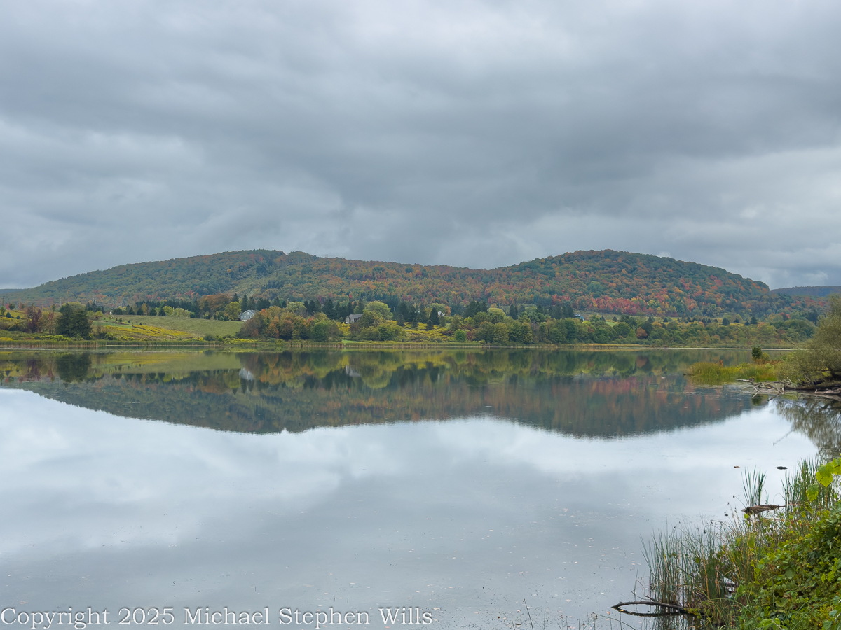
Back in the Finger Lakes, we tend to use a different grammar when confronted by an out-of-place rock. We name it, classify it, and trace its lineage northward. Erratics scattered across Tompkins County are geological sentences that begin somewhere else entirely. The bedrock beneath Ithaca—Devonian shale and sandstone—cannot account for crystalline intruders left behind like forgotten punctuation marks. These stones speak of ice sheets thick enough to erase valleys and decisive enough to transport mountains in fragments.

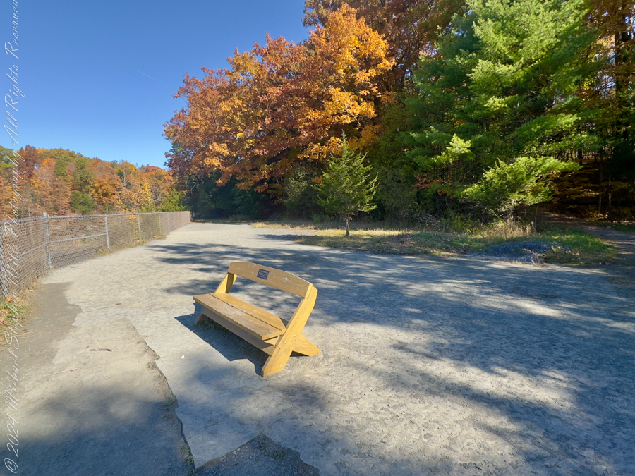
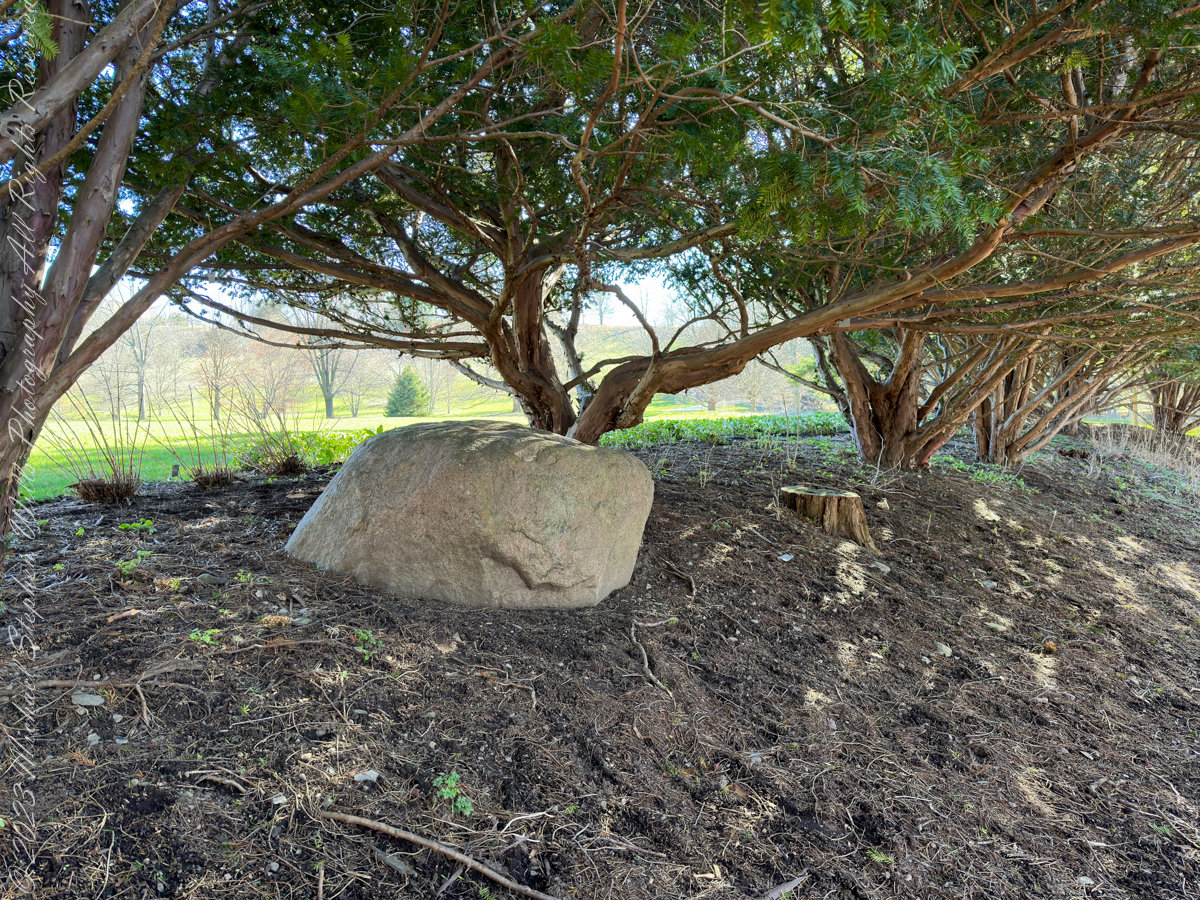
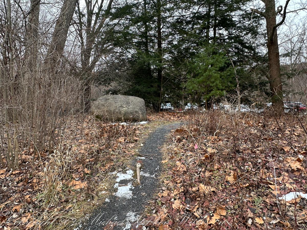
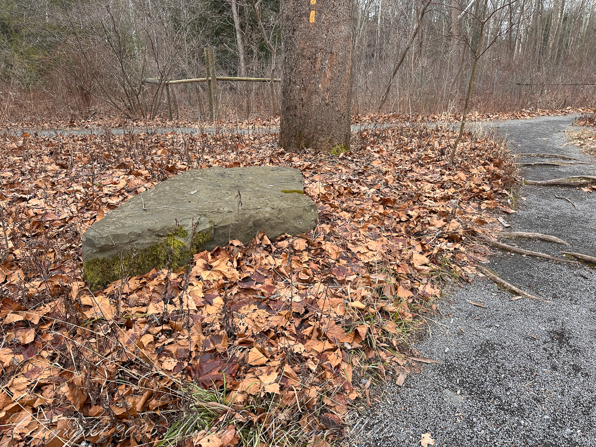
Some of those fragments have been domesticated. Cornell, for example, has never been shy about rearranging its stones. An unremarked erratic along the Allen Trail may once have been shrugged off as inconvenient rubble, while another—dragged from the Sixmile Creek valley—was carved into a seat and made eloquent. The Tarr memorial boulder, resting near McGraw Hall, transforms erratic stone into deliberate monument. It invites rest, contemplation, and perhaps gratitude for those who taught us how to read landscapes written by glaciers.

We find boulders of crystalline rock, commonly derived from Adirondack sources, left behind on the surface of ablation moraine, in the Finger Lakes Region. Cornell finds some and move them, maybe the case for this unremarked erratic found along the Allen Trail of FR Newman Arboretum. Another enormous erratic, brought in from the Sixmile Creek valley, was carved into a seat as a memorial to Professor R.S. Tarr who deciphered much of the glacial history of the Finger Lakes Region. Find it at the southwest corner of McCraw Hall on the Cornell University Campus. Reference: “The Finger Lakes Region: Its Origin and Nature,” O.D. von Engeln, Cornell University Press, 1961 page 106

Glacial Erratic, Fillmore Glen

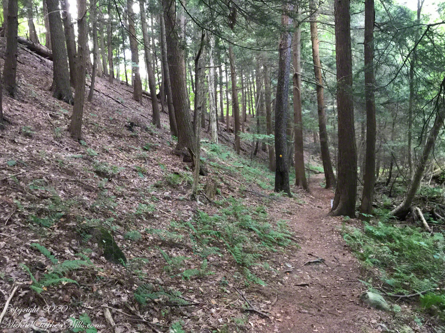
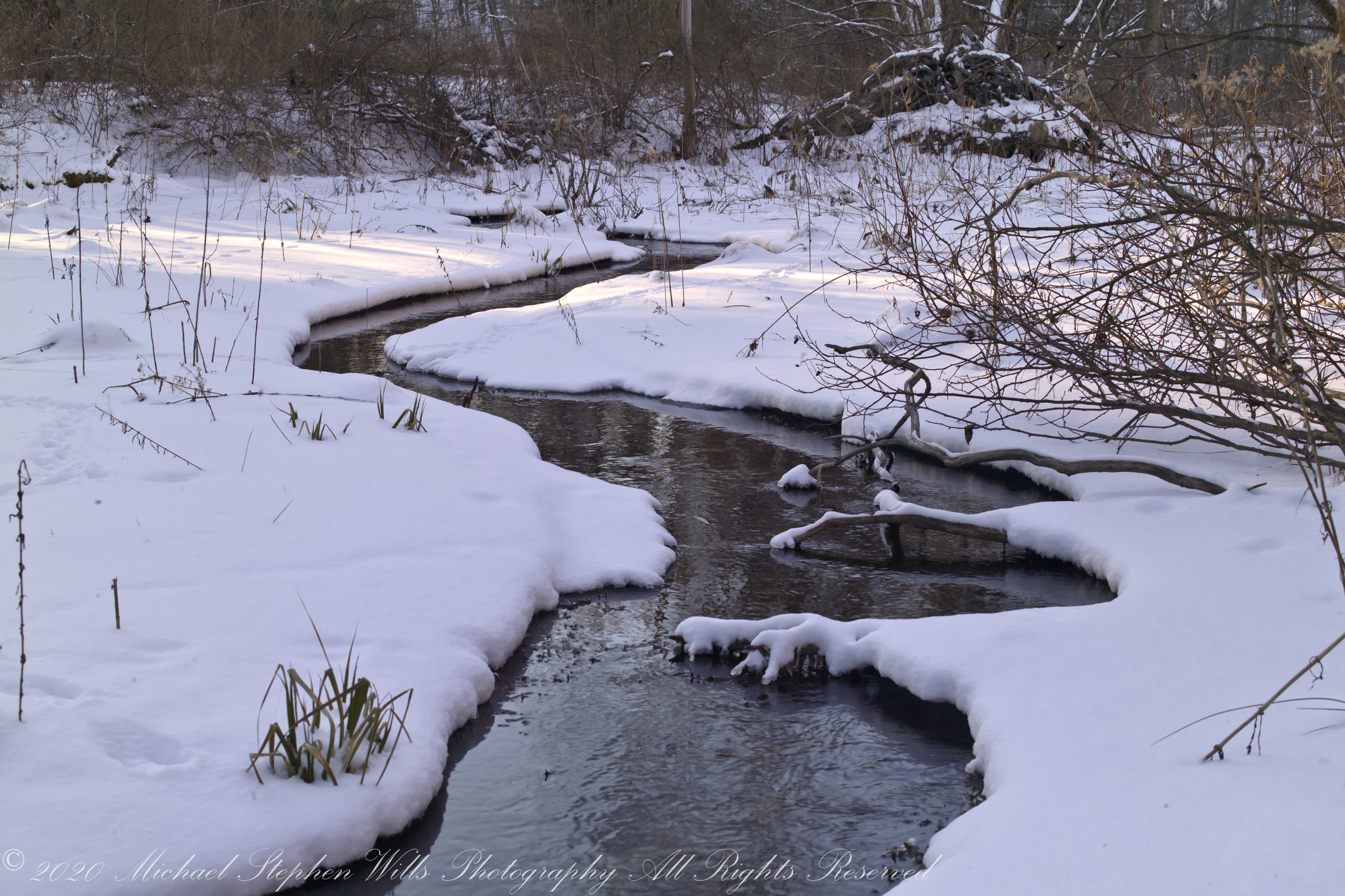
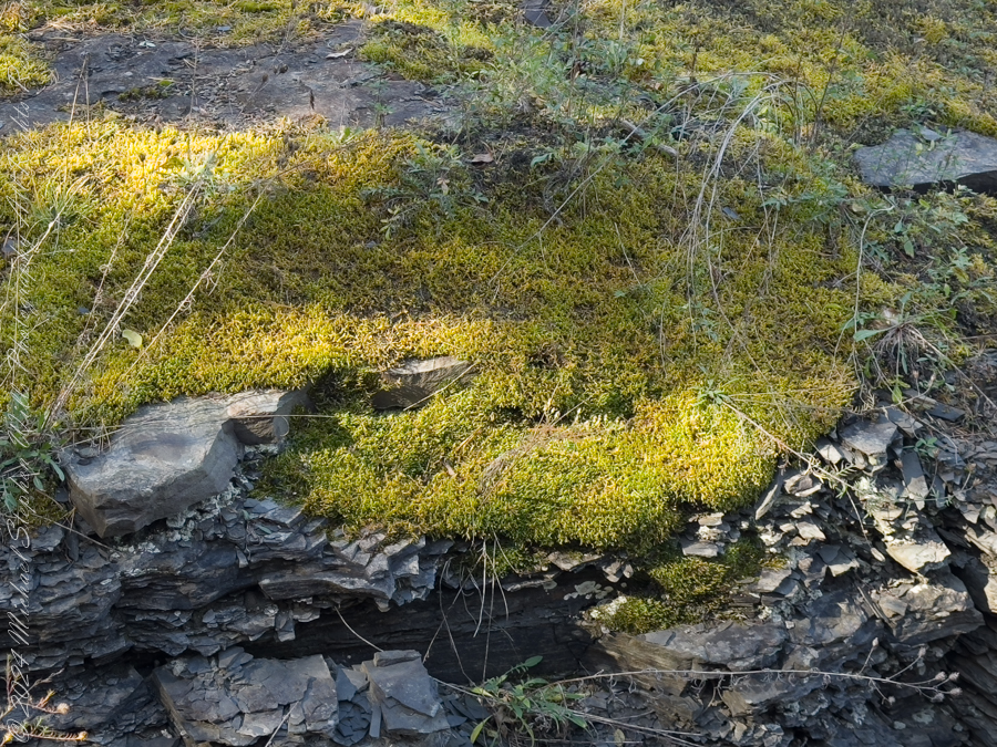
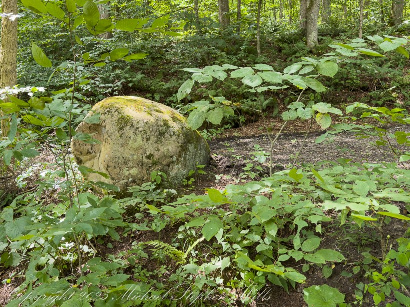
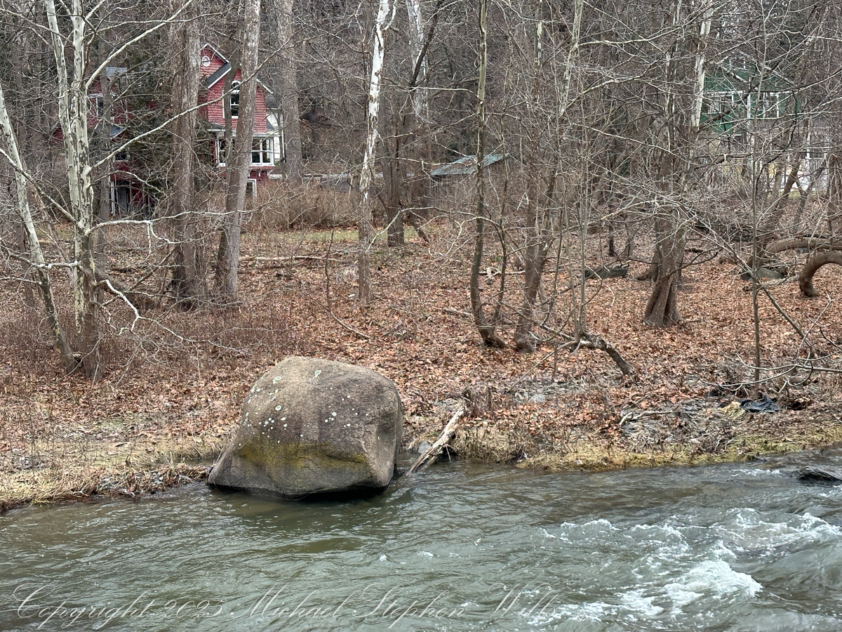
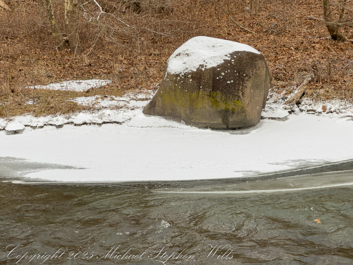
Elsewhere, erratics remain defiantly themselves. In winter, one along Fall Creek alternates between anonymity and revelation, depending on whether snow smooths its surface or retreats to expose lichen constellations. Bridges pass overhead, traffic flows, semesters turn over, yet the rock remains unimpressed. It has already endured pressure sufficient to rearrange its crystals; a passing academic calendar is not likely to trouble it.

This boulder, a glacial erratic, was found near Fall Creek and the Cornell Botanic Gardens Horticulture Building. Cornell University, Ithaca, Tompkins County, New York State

This rock, a glacial erratic, was found near Fall Creek and the Cornell Botanic Gardens Horticulture Building. Cornell University, Ithaca, Tompkins County, New York State

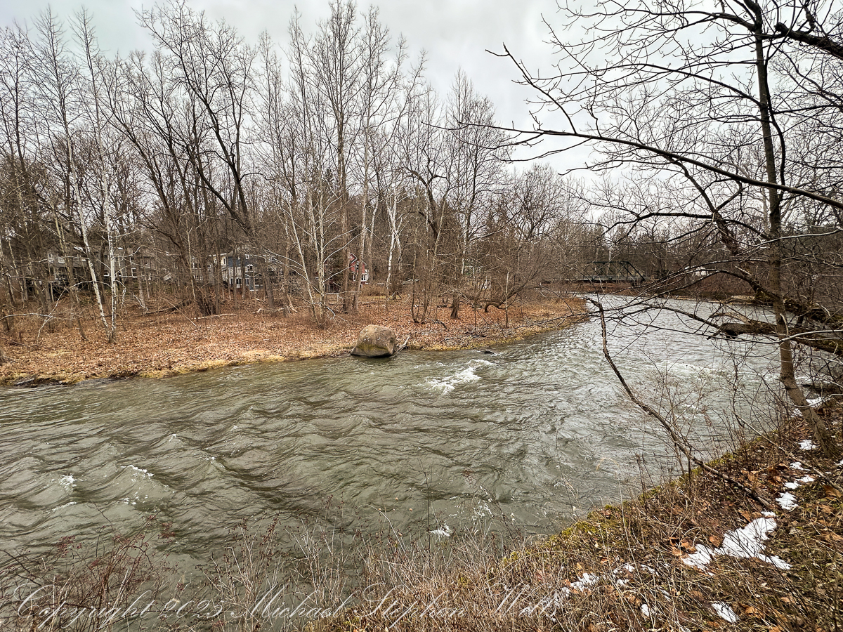
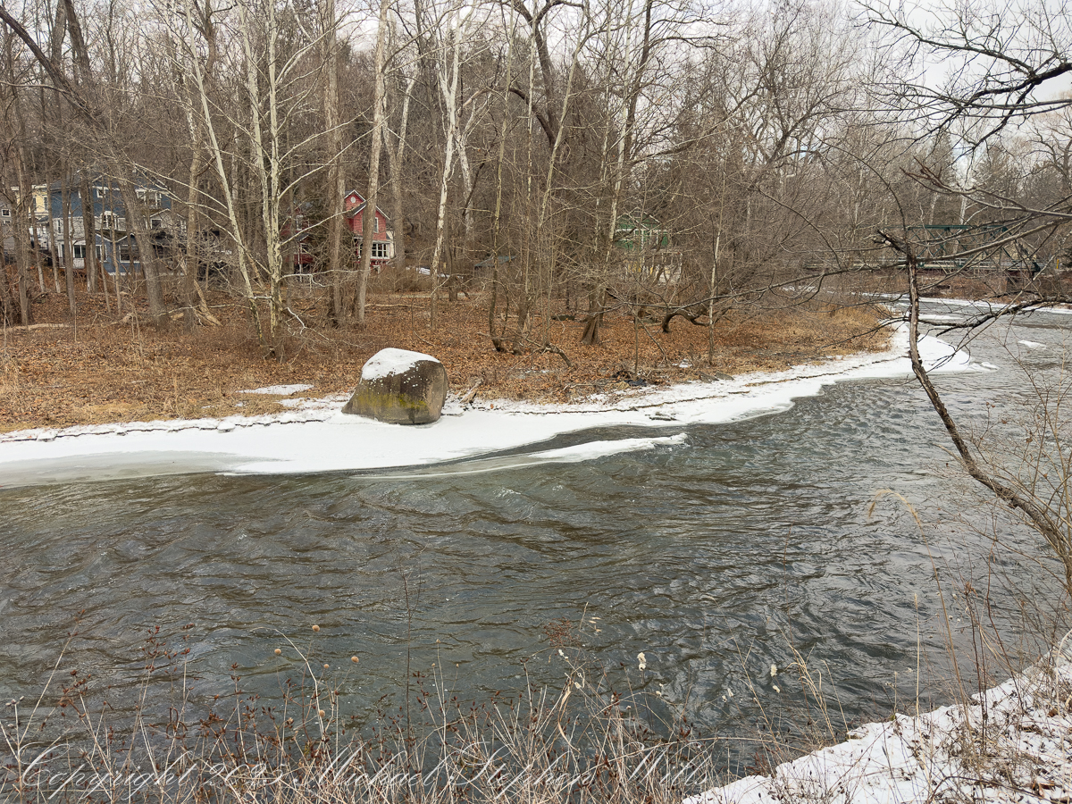
Then there are the stones that confront us most directly—those we stumble upon in fields, pulled from soil by plow or frost, demanding explanation. A white, iron-stained marble boulder in a Tompkins County field is not subtle about its foreignness. It does not belong to the local vocabulary of shale and sandstone. Its pale surface, crystalline texture, and mineral scars point insistently north, toward the Grenville terrane of the Adirondack Lowlands. The Balmat–Edwards–Gouverneur marble belt offers the most persuasive origin story: metamorphosed carbonate rock carried south by Laurentide ice, released when climate and physics finally lost patience with one another.

I found this white marble erratic in a Tompkins County field. The highest-probability source is Grenville marble from the NW Adirondack Lowlands / St. Lawrence County (Gouverneur/Balmat–Edwards marble belt), delivered by southward-flowing Laurentide ice. I say the most probable source is metamorphosed carbonate (marble) from the Grenville terrane to the north—especially the northwest Adirondack Lowlands / St. Lawrence County marble belt (the “Gouverneur Marble” and related Grenville marbles), transported south by the last Laurentide ice sheet. Why that’s the best bet: Ice-flow geometry favors a northern source. In the Finger Lakes, glacial ice advanced with a flow direction that was very close to due south, guided by the north–south bedrock valleys. Tompkins County erratics are “exotic” imports. Local bedrock around Ithaca/Tompkins is Devonian shale/sandstone, but the region contains many nonlocal (“exotic”) glacial erratics carried in from much farther north (including southern Canada and beyond). Marble isn’t local to the Ithaca area, but it is abundant in the NW Adirondack Lowlands. The Balmat–Edwards/Gouverneur area in St. Lawrence County is a classic Grenville Lowlands district with marble belts (the same province that yields cream/white building marble around Gouverneur).

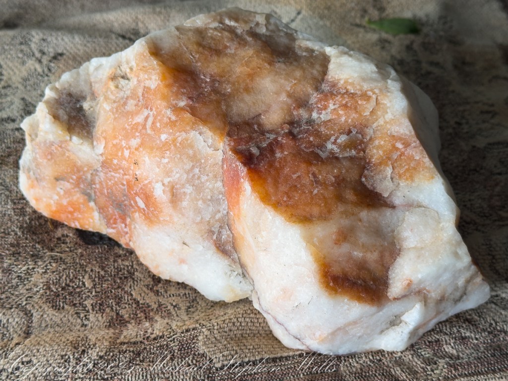
What makes this particular erratic compelling is not just its provenance, but the improbability of its journey. Ice moved with purpose here, flowing south along bedrock valleys like Fall Creek and Cayuga troughs, turning the Finger Lakes region into a conveyor belt for distant geology. When the ice melted, it left behind evidence that refuses to blend in. Erratics are geological truth-tellers. They announce that this place was once unrecognizable, that what seems permanent is merely provisional.

Perhaps that is why folklore clings so naturally to stone. Whether leprechauns or Laurentide ice are credited, erratics insist on a larger frame of reference. They ask us to imagine landscapes in motion and beliefs under revision. A boulder can be a seat, a marker, a perch, or a puzzle—but never merely background. It waits, quietly confident, for us to catch up to its story.

Enter your email to receive notification of future postings. I will not sell or share your email address.

Where Fall Creek Turns: An Esker’s Quiet Authority in Malloryville Preserve, New York

An ancient esker redirects Fall Creek at Malloryville Preserve, revealing how Ice Age meltwater shaped the land and still quietly governs water and wandering feet.

The esker rises like a glacier’s spine, a long-backed remnant left behind where an ice mountain learned how to leave quietly. It is not loud geology—no cliffs shouting their age, no cataracts announcing force—but a patient, sinuous fact. A frozen river’s footprint, pressed into the land and then abandoned, it lies there still, grading itself gently on both sides, as if unwilling to offend gravity or time.

At first glance, it could pass for a human thing: a railroad berm, a raised roadbed, an engineer’s solution. Yet this ice-scribe ridge was shaped without blueprints, drafted by meltwater racing beneath a retreating glacier, carrying gravel like a hoard of stories. The stones settled where the ice allowed them, stacked by pressure and patience, forming a ridge long enough—nine-tenths of a mile—to tell a stream where it must turn.

Fall Creek meanders through the esker fields of the Malloryville Preserve. Here is the view from an abandoned railroad bridge. The preserve is near Freeville in the Finger Lakes Region of New York State.

Fall Creek arrives with purpose, confident in its descent, until it meets the esker and must reconsider. Here the water performs bows, an abrupt acknowledgment of authority. The creek becomes a liquid negotiator, redirected by the ridge’s quiet insistence. This is the esker’s work: not domination, but persuasion. Land teaching water a new sentence.

This video provides a better feeling for the esker. To do this from WordPress Reader, you need to first click the title of this post to open a new page.

Standing at the foot of the esker, the slope to the right reveals itself slowly. It does not announce, I am important. Instead, it waits to be noticed. A swamp settles nearby, the water-mirror lowland, collecting what seeps and lingers. Together, ridge and wetland form a conversation: height and hollow, drain and gather, spine and lung.

Before there was signage, before placards translated glacial grammar into public language, the land already knew itself. Knowledge preceded explanation. My son and I pitched a tent atop a kame at our front door — another ice-left hill, a deposit of ancient momentum. That night, the ground beneath us was older than memory and younger than myth. Camping there was not recreation so much as apprenticeship.

A kame is a meltwater’s knuckle, rounded and abrupt, shaped by collapse rather than flow. To sleep upon it is to rest on uncertainty made solid. The tent fabric whispered in the breeze, a thin membrane between human breath and glacial aftermath. Fireflies stitched brief constellations above the grass, while the earth held fast, remembering ice that no longer needed remembering.

Walking along Fall Creek later, watching it turn west where the kame insists upon geometry, one begins to sense the land’s authorship. This is not random scenery. It is edited terrain. Each ridge, each bend, each saturated hollow is a sentence left behind by ice that once covered everything and then, mercifully, withdrew.

The esker itself is a time-ladder, inviting slow ascent. Step by step, gravel shifts underfoot—rounded stones, carried far from their origins, now loyal to this place. Each stone is a traveler without a passport, naturalized by pressure and pause. Together they hold their line, resisting erosion not by hardness alone, but by collective agreement.

From above, the ridge reveals its length, its deliberate curve. It does not hurry. It does not apologize. It simply is, a memory ridge, reminding the present that absence can be as powerful as presence. The glacier is gone, yet its handwriting remains legible.

Overflow from a Kettle Pond threads through a meadow before feeding Fall Creek. The O.D.von Engeln Preserve at Malloryville.

In the nearby swamp, water pools in dark reflection. Frogs tune their throats. Sedges write vertical poetry. This is the after-ice sanctuary, where meltwater’s descendants linger and life reclaims the margins. The esker drains; the swamp receives. Between them flows a balance older than names.

To walk here is to practice a different kind of attention. The land does not reward speed. It rewards listening. The ridge asks you to follow its curve, to feel how it shapes movement, how it choreographs water, wildlife, and wandering humans alike. It is a path-without-intention, yet it guides all who encounter it.

Long after the tent is folded, after the creek continues its bent course, after the placards fade and are replaced, the esker will remain. It will continue directing water, lifting footsteps, and teaching geometry to anyone willing to notice.

Eskers and kames are the glacier’s farewell letter, written in gravel, signed by time, and left open for reading.

Click Me for the first post of this series.

Enter your email to receive notification of future postings. I will not sell or share your email address.

Glacial Echoes: Dryden Lake Park’s Mirror-Calm Morning in Upstate New York

Morning clouds hang over Dryden Lake as hills kindle first color; reflections hold breath while a lone walker reads the valley’s glacial and human-written past.

He came to the water before the people woke, the road a still ribbon of cold tar snaking beneath the low hills. Mattocks of cloud hung over the valley and the lake took in the sky like a mirror dropped yet not broken. The trees were beginning to color. A patient fire working from within the leaves. He parked where the grass ran down to the shore and stood a long while without moving. Birds made small sounds in the reeds. Somewhere a single truck labored up the grade and was gone. The surface held the hills with a steadiness the hills themselves could not keep. He thought how the quiet of a place can be the loudest thing it owns.

He went along the margin along the damp sedges where old drift lay silvered and light as bones. A drowned trunk angled from the shallows. The lake was old in the way of things made by ice and time. A kettle in the outwash of the last glacier, some men said, a bowl left when the buried ice eased away. He pictured the ice receding into the valley heads, the meltwaters choked with gravel, a hand larger than memory scribing the floor of this country. The earth never told it plain but the lay of it was witness enough. Across later centuries men cribbed a dam across the outlet and drew the water to a shape that pleased them and served their work.

A trail ran the length of the water on the old rail bed. The ties were long gone and the iron and cinders buried under years of leaf fall and gravel. He had walked it as a boy beside his father and now he walked it alone. Benches stood at half-mile intervals like waystations in a country of small pilgrimages. The signs told what once was here and what remains. They had renamed the path for a townman who argued it into being after the railroad had passed from the world and the right-of-way grew up with sumac and rumor. It was an easy trail and he carried nothing. His hands hung at his sides as if the day might place something in them when it was ready.

In another era the lake was a workshop. Men whipsawed timber in the wet air and fed small mills with the grove’s dark boards. Winter flowed over the flats, and they built icehouses and set the blocks within like blue stone, an industry that died when cold could be called from a switch. The hills have learned to forget the noise of it, though on certain mornings the fog takes a shape and you could believe rising from the ponded sawdust and the lading of sleds. He thought of the labor of those gone hands and of how work is a scripture every place keeps in its own tongue.

Before any of that, the ground here was a summer camp. People came with the season and went with it, laying their fires in the lee of the knoll and taking fish where the cattails thin. He could feel them in the open places, not as ghosts but as the first understanding the land ever had of itself. The words used for them now are museum words, yet the wind still crosses the water as it did and empties the same smell of iron and leaf into the lungs of whoever stands to breathe.

The town took its name from a poet long dead, a scholar’s choosing in the years after the war for independence when this tract of country was parceled out to soldiers of that same war. Virgil lay to the east as if they were shelving Latin across a map. The creek that bears that name threads the villages and finds Fall Creek at Freeville, and the combined waters go their own slow way toward Cayuga where the glacial hand scooped deeper yet. He said these names under his breath and they tasted of chalk and river stone.

A kingfisher rattled across the cove. The fish rose in rings that spread and vanished like time seen from above. Out on the water an old man pushed a skiff with an electric motor that hummed like a trapped bee, for the lake allows no gas engines now. The wildlife area ran around the shore in a ragged collar of field and wetland and alder, near two hundred acres under the state’s keeping, and the lake itself a little over a hundred. He watched the man aim for the lily line and thought how rules arise from the wish that a thing endure, though nothing does. Still we make the rules and we keep them as if the earth were listening.

Wind came down the slope with a smell of rain. He turned back and the hills lay again in the water, entire, and for a moment he could not tell which world had claim to the other. He thought of the rails pulled up and the mills gone to weeds and of the icehouses fallen into their own shadows and he thought of the people before all that and of the long winter pressing its thumb into the land and lifting it away. He thought of his father walking the rail bed beside him a lifetime ago and saying nothing. There are places where the past crowds close and will not be argued with. He stood until the first drops dimpled the surface and the reflection shattered and reformed. A train no longer runs here. The only sound was the soft percussion of rain on water and the slow turning of the earth beneath both. He put his hand to the damp trunk of a fallen tree and felt the grain and the coolness and the old patient labor of rot. Then he went up from the reeds, his pockets full of acorns, and out to the road where his truck waited and the day, austere and sufficient, came along with him.

References

Geological History and Glacial Formation of the Finger Lakes

Jim Schug Trail

The Dryden Lake area in the 19th century

Indian Campsite on west side of Dryden Lake

Dryden New York (wikipedia)

Dryden Lake (New York State DEC)

Geohydrology, Water Quality, and Simulation of Groundwater Flow in the Stratified-Drift Aquifer System in Virgil Creek and Dryden Lake Valleys, Town of Dryden, Tompkins County, New York

Enter your email to receive notification of future postings. I will not sell or share your email address.

On The Edge of Time Above Taughannock Gorge

Perched above Taughannock Gorge, a moss-covered ledge and cascading falls reveal ancient stories—where Devonian seas once flowed and time’s layers whisper through stone and water.

The morning sun had only just breached the rim of the gorge, sending long slants of golden light across the forest floor. Walking the South Rim Trail of Taughannock Falls State Park, I came upon a quiet, unassuming spot—just a few paces off the path—where the forest seemed to pause in reverence. What greeted me was a small marvel of persistence and time.

There, rooted precariously atop a slab of brittle shale, was a tenacious shrub rising from a bed of moss, its spindly frame etched in sharp contrast to the soft, green sprawl beneath it. The moss had taken hold on a shelf of rock cantilevered over the gorge like a green tongue of earth defying gravity. Cracks traced the shale’s surface like veins, silent records of the forces that shaped this place—heat, ice, pressure, time. Together, the moss and the bush formed an improbable community, surviving against odds, bound together by the thin soil cradled in stone.

This ledge, suspended over the abyss, seemed less a part of the earth than a question it asked—how much life can cling to the edge before the edge itself gives way?

Beneath this living fragment, the gorge dropped away. Layers upon layers of shale revealed themselves, stacked like a collapsed library of time. Here, the Devonian Period lies exposed to wind and rain, and to those willing to pause and wonder. Each stratum holds the fossil whisper of ancient seas, where trilobites scuttled and coral reefs once stood. This gorge was not carved quickly. It was not born of a moment, but of many—countless raindrops, millennia of ice melt, the slow, sure work of water over stone.

From this natural balcony, I looked out and down to the gorge floor where the creek shaped the land with an artist’s patient hand. The falls, seen from above, no longer thundered—they danced. Spread like the folds of a fan, water curled over smooth stone in steps of white silk. From here, the cascade looked deliberate, choreographed—an elemental performance halfway between gravity and grace.

How many times had this water flowed, reshaped, receded? How often had it carved these grooves, smoothed those ridges, erased the footprints of what came before? Looking at the exposed rock, one could trace the signature of ancient glaciers, feel the memory of long-gone floods. It was humbling—this intersection of change and continuity.

Above it all, the trees stood still. Pine and oak, rooted well back from the edge, offered a kind of sentinel presence. Their shadows stretched long and angled, tracing the contours of both earth and memory. For a moment, I let go of all thought and simply listened—to the murmur of wind through leaves, the faint rush of water far below, and the silence that presses in when the land itself seems to be remembering.

This spot—so easily missed by a hurried hiker—offered a parable of resilience and impermanence. The moss did not grow with certainty, nor the shrub reach with confidence. They survived on the edge because they adapted. They made do with less. They took root where others could not. There was no security in that place, only presence. Only the now.

And isn’t that a lesson worth carrying?

We so often seek stability, firm ground, a clear path. Yet, some of the most beautiful things live just beyond comfort—on ledges, in cracks, in the margins of the known. To pause here was to acknowledge that life thrives not only in sheltered valleys but also at the edge of what seems possible.

As I stepped back onto the trail and continued along the South Rim, the image of that mossy outcrop stayed with me. I carried it in my thoughts like a talisman—proof that even on the brink, life finds a way. And that from above, the most chaotic falls can appear as ordered motion, as a flow toward something larger.

Later, when the sun climbed higher and the light lost its slant, I would look back on this moment not as a spectacular highlight but as something more intimate: a quiet encounter with nature’s subtle artistry, its layered truths, and its enduring invitation to look closely, feel deeply, and walk softly.

For here, above the gorge, at the edge of earth and time, even a whisper leaves a mark.

Enter your email to receive notification of future postings. I will not sell or share your email address.

Taughannock Falls State Park: A Geological and Ecological Marvel

Taughannock Falls, a majestic 215-foot waterfall, showcases nature’s beauty and power, intertwining geological history with vibrant ecosystems in New York.


Introduction
Nestled in the heart of the Finger Lakes region of New York, Taughannock Falls stands as a testament to the delicate balance of power and beauty in nature. This iconic waterfall plunges 215 feet—one of the tallest single-drop waterfalls east of the Rocky Mountains—into a gorge whose story is written in stone. The park surrounding this natural wonder offers a symphony of sights, from towering cliffs to lush greenery, inviting visitors to explore its ancient secrets and vibrant life.

View of taughannock Falls from the South Rim Trail. Taughannock Falls New York State Park, Trumansburg, Tompkins County, Finger Lakes Region

A Story Written in Stone
The rocks of Taughannock Falls tell a story that stretches back 380 million years to the Devonian Period, a time when the region was submerged beneath a shallow inland sea. Layer upon layer of shale, sandstone, and limestone formed as sediment settled to the ocean floor, preserving the fossils of marine life that once thrived here. These rocks have endured the passage of eons, but the gorge itself is a far more recent creation.

Limestone Steps on the South Rim Trail descend to the gorge floor.

It was the retreat of the mighty Laurentide Ice Sheet, approximately 10,000 years ago, that set the stage for Taughannock’s grandeur. As glaciers melted, torrents of water carved the U-shaped valleys that now cradle the Finger Lakes. Taughannock Creek, a tributary of Cayuga Lake, began its work, etching its path through ancient rock, sculpting the gorge we see today. In just 10,000 years—a fleeting moment in geological time—the relentless force of water carved its way 3/4 of a mile upstream, creating the awe-inspiring chasm and waterfall that continue to evolve even now.

Taughannock Creek carved this landscape over thousands of years.

The Gorge’s Living Tapestry
Beyond its geological wonders, Taughannock Falls State Park bursts with life. Along the North and South Rim Trails, Eastern Hemlocks (Tsuga canadensis) stand tall, their evergreen branches weaving shadows that dance across stone stairways and forest floors. These silent sentinels are habitats for myriad creatures and protectors of the delicate ecosystem.

Wildflowers were planted by park staff at the Falls Overlook. The bright yellow of Black-eyed Susans (Rudbeckia hirta) and the vibrant purple of Coneflowers (Echinacea purpurea) attract bees and butterflies, their nectar fueling the intricate web of life that thrives here. Along the trail, on the forest floor, mosses and ferns cling to rocks, softening the edges of the gorge with their verdant touch.

Cone Flowers
Cone Flowers gone to seed
From a walk around Taughannock Falls State Park “Rim Trails” October 22nd, 2024. Trumansburg, Tompkins County, Finger Lakes Region, New York State.

The Fall’s Eternal Dance
At the heart of the park is the waterfall itself, its roar both a hymn and a whisper of time’s passage. The view from the North Rim Trail reveals the waterfall framed by steep cliffs, their striations like pages in a book written by water, wind, and time. The plunge pool below, shimmering in sunlight, seems almost sacred—a place where the forces of nature meet in harmony.

Viewed from the North Rim Trail on a summer morning. Taughannock Falls New York State Park, Trumansburg, Tompkins County, Finger Lakes Region

Even as we marvel at its beauty, the falls are a reminder of the earth’s constant transformation. Each drop of water that cascades down the cliff face carries away tiny fragments of rock, continuing the slow, deliberate work of reshaping the land. What we witness today is but one moment in an ongoing process—a fleeting glimpse of a masterpiece in progress.

A Place of Wonder
To stand at the edge of Taughannock Falls is to feel both small and connected. The cliffs, formed over hundreds of millions of years, whisper of ancient seas and forgotten worlds. The gorge, carved in the blink of an eye by geological standards, speaks to the power of water and time. And the vibrant life that fills the park reminds us of nature’s resilience and beauty.

As the sun filters through the trees, illuminating the mist that rises from the falls, it’s easy to believe that this place holds magic. Perhaps it’s in the way the water sparkles like diamonds in the sunlight or the way the breeze carries the scent of pine and earth. Or maybe it’s in the knowledge that here, in this park, we are witnesses to a story billions of years in the making.

Conclusion
Taughannock Falls State Park is a place of wonder where geology, ecology, and history converge. It invites us to reflect on the immense forces that shape our world and to cherish the fleeting beauty of each moment. Whether you come to marvel at the towering waterfall, walk among the hemlocks, or simply stand in awe of the gorge, Taughannock Falls leaves an indelible mark on the heart—a reminder of nature’s power, resilience, and enduring grace.

Enter your email to receive notification of future postings. I will not sell or share your email address.

Ephemeral Waterfall

Fillmore Glen State Park in Moravia, New York, offers a changing landscape that serves as a living canvas, with the ironically named Dry Creek feeding its lush greenery. The ebb and flow of water from the creek creates a dynamic setting. Seasons dramatically alter the scenery, from tranquil springs to vibrantly colored autumns, beautifully captured through fine art photography.

Continue reading “Ephemeral Waterfall”

Dappled Sunlight

The Malloryville eskers near Freeville, New York, highlight the region’s glacial history and contribute significantly to biodiversity and local ecology.

Walking here, I enjoy telling the grandchildren of the immense, mile-high ice sheet that once covered this land 10,000 years ago, creating these hills and hollows.

Click Me for another Malloryville post, “Formed By Water.”

Eskers are geological features that tell a rich tale of the glacial history of an area. In the landscape near Freeville, New York, the eskers of Malloryville stand as prominent reminders of the last Ice Age and the profound effects glaciers have had on the North American terrain. These elongated ridges, composed primarily of sand and gravel, not only offer a visual spectacle but also provide crucial insights into the glacial processes that shaped the region.

Eskers are formed by the deposition of sediment from meltwater rivers flowing on the surface of or within glaciers. As these glaciers recede, the sediment accumulates in the paths previously carved by the meltwater streams, eventually forming ridges. The Malloryville eskers are particularly notable for their well-preserved structure, giving geologists and enthusiasts alike a clear vision of the patterns of glacial meltwater flow from thousands of years ago.

Located just a few miles from Freeville, the Malloryville eskers are an intriguing natural attraction. The topography of the area, largely shaped by the Laurentide Ice Sheet during the last glacial maximum, is characterized by various glacial features, but the eskers are undeniably some of the most distinct. Their serpentine-like appearance, weaving through the landscape, immediately captures one’s attention and beckons further exploration.

From an ecological perspective, the eskers of Malloryville contribute to the area’s biodiversity. The unique microenvironments created by these ridges offer habitats that differ from the surrounding landscape. This differentiation allows for a variety of plant species to thrive, some of which are specially adapted to the well-drained soils of the eskers. Additionally, these ridges act as corridors for wildlife, facilitating movement and offering vantage points for species like deer and birds of prey.

Historically, the eskers near Freeville have also had an impact on human activity. Native American communities, recognizing the strategic advantage of these high grounds, are known to have used them as pathways or even settlement sites. In more recent history, the gravel and sand composition of the eskers have made them targets for mining activities. While this has led to the alteration or destruction of some sections, it has also highlighted the importance of preserving these unique geological features for future generations.

Efforts to study and preserve the Malloryville eskers have grown in recent years. Local educational institutions, in collaboration with geological societies, have undertaken detailed studies to understand the formation and significance of these features better. Such initiatives not only contribute to the scientific understanding of glacial processes but also raise awareness about the importance of conserving unique geological formations. Given the potential impacts of climate change on glacial landscapes worldwide, the eskers serve as a poignant reminder of the dynamic nature of our planet and the traces left behind by the ebb and flow of ice ages.

In conclusion, the eskers of Malloryville near Freeville, New York, stand as testaments to the glacial history of the region. These winding ridges, with their intricate patterns and rich ecological contributions, weave a story of natural processes that have spanned millennia. They remind us of the ever-changing nature of our planet and underscore the importance of understanding and preserving its geological wonders. Whether one views them with the eyes of a scientist, historian, or nature enthusiast, the Malloryville eskers offer a captivating glimpse into the ancient forces that have shaped the world around us.

Copyright 2020 Michael Stephen Wills All Rights Reserved

PeruRail to Machu Picchu VII

Urubamba River or Vilcamayo River (possibly from Quechua Willkamayu, for “sacred river”)

Click Me for my Online Gallery

Our guide distracted us from the river by pointing out this glacier nestled among clouds. The following image from GoogleEarth features the peak, named Huayanay, on the upper left. PeruRail track follows the Sacred Valley floor at the foot of the cliff seen lower left and proceeding to the lower right. Another valley starts from Sacred Valley and goes south, carved by the  Cusichaca river. Look closely to see the Patallacta Inca ruins above that same river. These were not visible from the train. A few minutes later we viewed another Inca ruin site.

Google Earth

Huayanay (Quechua for swallow) is a mountain and a massif in the Vilcabamba mountain range in the Andes of Peru, about 5,464 metres (17,927 ft) high.”

The massif is located in the Cusco Region, Anta Province, Huarocondo District and in the Urubamba Province, Ollantaytambo District. Huayanay lies east of the Andean peaks Salcantay and Paljay.

Reference: Wikipedia, “Huayanay.”

Copyright 2023 Michael Stephen Wills All Rights Reserved

Keuka Lake Winter I

Keuka, the crooked Finger Lake….

Sunday, Pam and I travelled across the peneplanes, past three Finger Lakes, to reach the Dr. Konstantin Frank winery where we subscribe to the “Wine Club,” a quarterly release of three 750 ml wines along with a newsletter with information and recipes.  For 2018/2019 we elected to “pickup” our selections, looking forward to these drives through the country and villages between Ithaca and the winery perched on the west side of Keuka Lake, just below the “branch.”

Preeviously, I posted “Glacier!!” and today there is this photograph of glacial topography 10,000+ years after the melt.  Keuka Lake is shaped like a “Y” chromosome, here we are looking northeast across the “foot” of the “Y” from the west lakeside.  Above the evergreens, to the left, is the headland separating the “arms” of the “Y”. 

 Spread out below our viewpoint are row upon row of grapevines, enjoying the microclimate surrounding the deep lake.

Click this link for my Fine Art Photography gallery.

Copyright 2023 All Rights Reserved Michael Stephen Wills

Glacier!!!

experience a glacier of Patagonia

Two person ship launch against glacier base.

Summer was the season for our visit to the edge of eternal, for now, Patagonian ice fields.  Remnants from the last ice age, larger than some (small) countries.  The site is surprisingly noisy with sharp, explosive, ice crackles.

More amazing even than the sounds, the dark shading on the ice is volcanic dust from recent eruptions of many cones

Click this link for my series of posts about Chilean fjords and glaciers we visited February 2016.

Copyright 2022 All Rights Reserved Michael Stephen Wills