The following year my sister Diane and I did two expeditions into the Superstitions, March and November 2006.
“A This video is from the November backpack, taken from the hill above the Ranch Ruin (Click me for “A Ride to Reavis Ranch”) you will experience the peace of this wilderness valley.
About that mysterious stone structure featured in this video. Over the years I have pieced together its purpose. When the ranch was active, a canal followed the contours from upper Reavis Creek to fill a pond down the hill from the house — I was shown the canal and walked it 2005. The structure was razed in the 1990’s, all that remains is the concrete foundation slab and, when I was there 2005 – 2008, scattered remains of the tile flooring. I am sure the pedestal above the house supported a water tank for a gravity water feed (“indoor plumbing”). Here is a link to more info about that site. The article does not discuss the water system.
For me, the romance of a place is settled in exact knowledge as much as a feeling. Starting with a recollection of the ruined cottages making such an impression we found a parking place and hiked into them loaded with photography equipment, three years later returning to use the photographs, bringing back a rush of memories and feelings, it is a matter of using the set of photographs from that day to build the location.
This much I knew, going in: we were touring Antrim Glens entering at Cushendall, after visiting Glenariff Forest Park, proceeding up the coast through Cushendun to Torr Head. A fortuitous encounter with a village of abandoned farm cottages (“ruins”) happened somewhere in between.
Click any image for larger view in a new browser tab. If you are in WordPress Reader, open the post to use this feature.
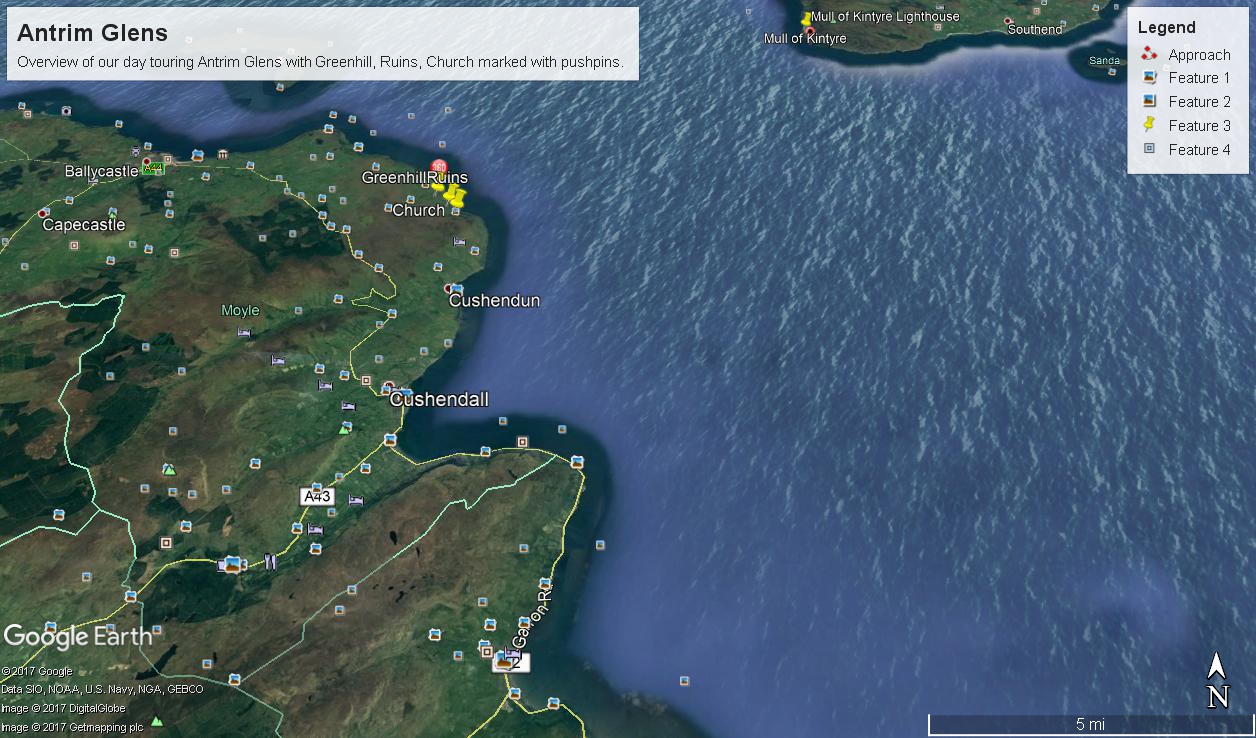
There was a photograph of a notable church prior to the ruins and a fine view, from a place named Greenhill, afterwards.
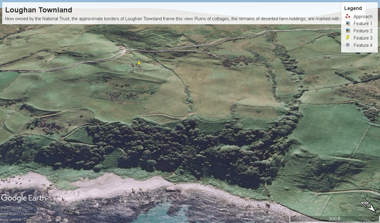
Here is a picture of the terrain with the three pushpins:
A fine church just off Torr Road, to the west. I found the location in Google Maps, marked as “church”. Google earth showed buildings at the location, this set the “church” pushpin. Associated with the church, using the date/time stamp, were images of signage naming Coolranny townland.
A sign identifying a location as “Greenhill” was after. Neither Google Maps or Earth lists this as a place. It took hours searching web sites of Irish townlands before I found the reference. Greenhill is not a townland; it was listed as a place on one of the maps. Just above the notation was Torr Road, two unique bends in the road. I used these bends to identify the turnoff where I photographed the “Greenhill” sign.
For reasons to be explained later, it is important to know the name of the ruin townland. The place name sign presented in post 1 was a clue (“Loughan an Lochan” — or Loughan Bay), as well at the web site (see link below) listing Irish townlands. The web site map names “Loughan Bay.”
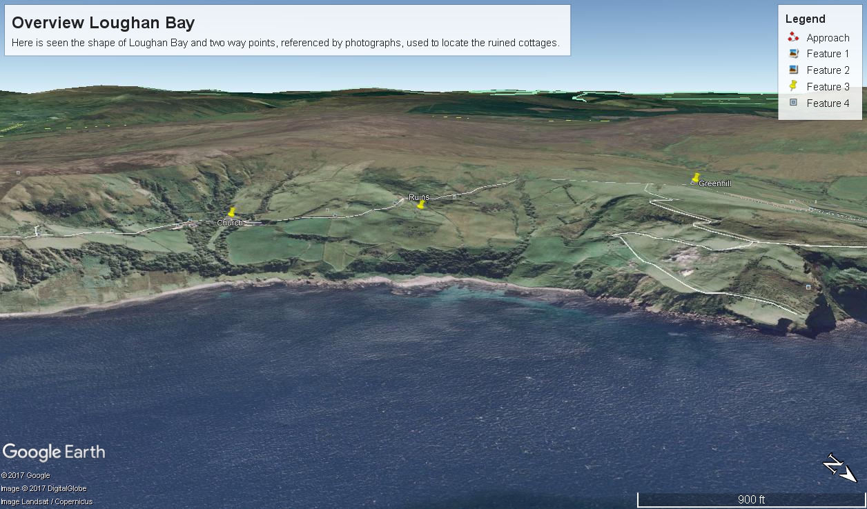
With this information I was able to peruse Google Earth, found the turnoff and the ruins!
See the above Google Map image sized to approximate the Loughan townland boundaries.
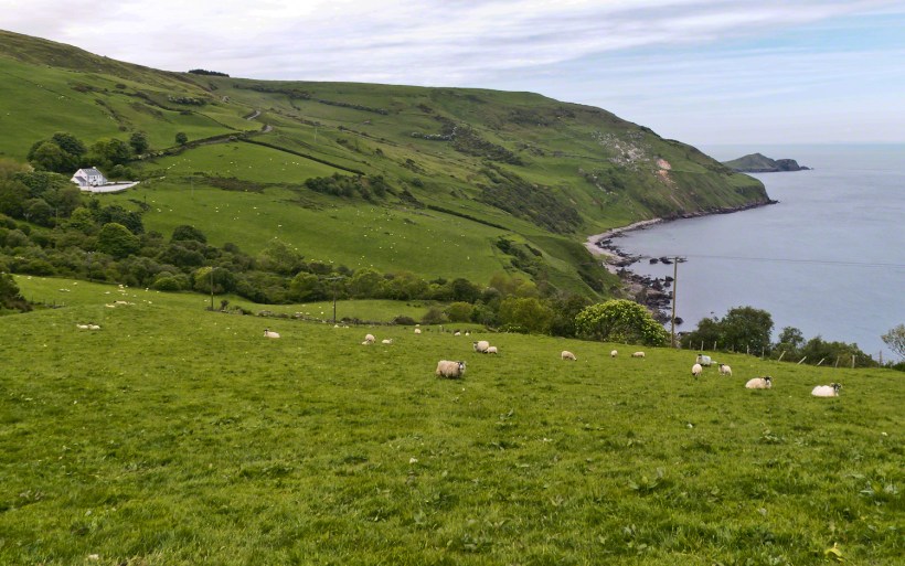
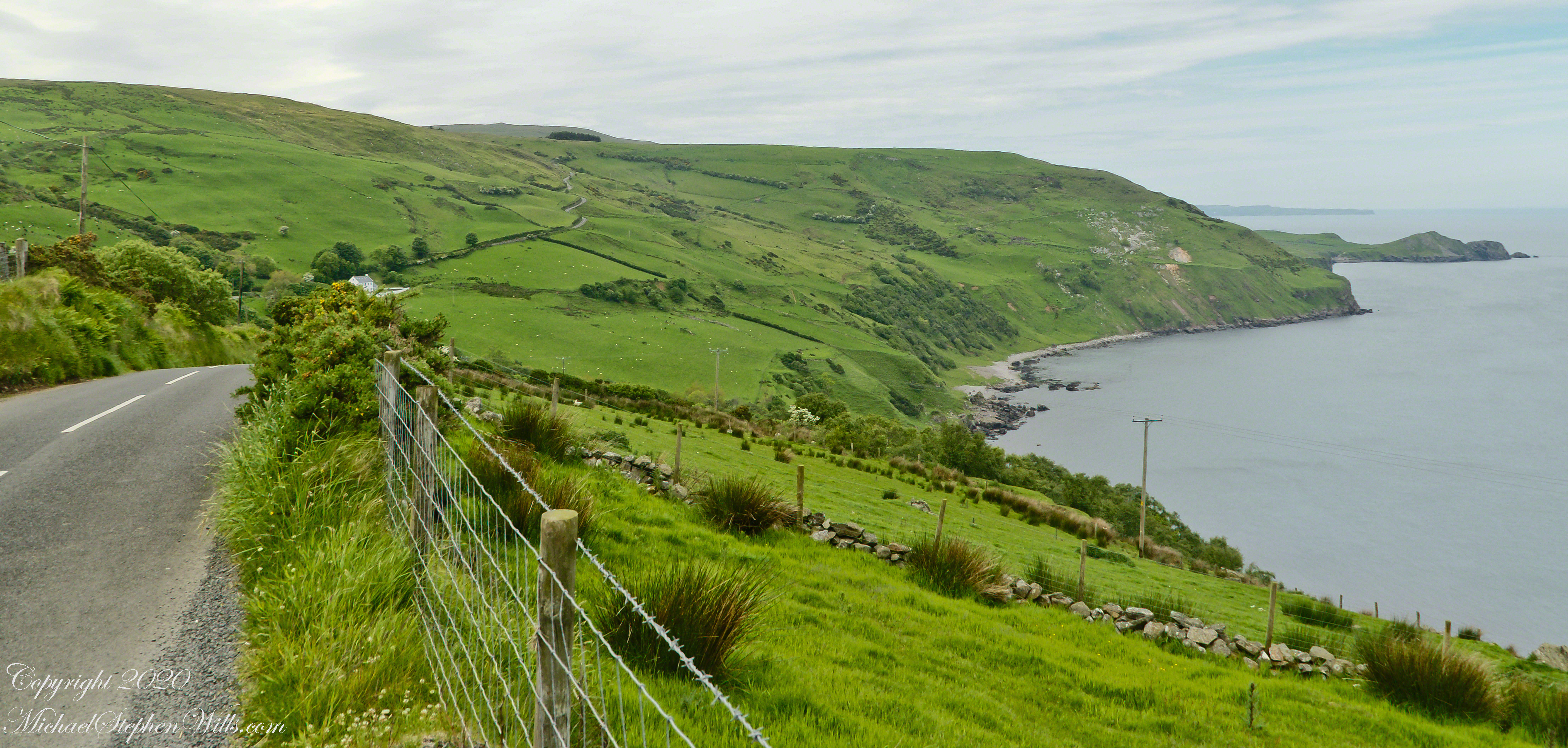
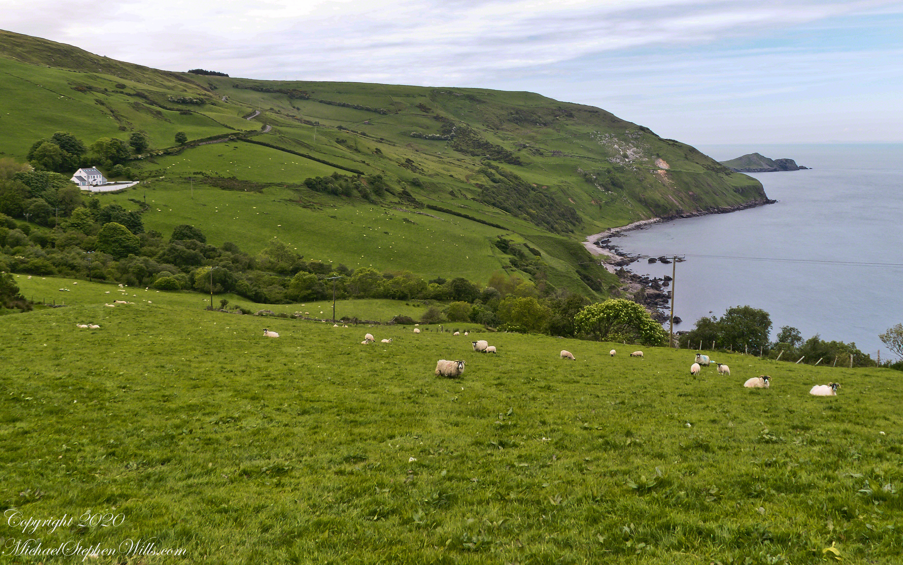
The scenery was jaw dropping lovely the entire time, so I captured view and view. Here are two landscapes time stamped just prior to the church, views including Coolranny and Loughan townlands with Torr Head in the distance.
That is Torr Road….
T
……a bit further along. It is possible to locate the ruin site from the Google Earth picture. There is a signature grove of bushes on the slope below the ruin site, sandy beach along shore. In the landscapes, Loughan Bay is cradled in a curve of coast.
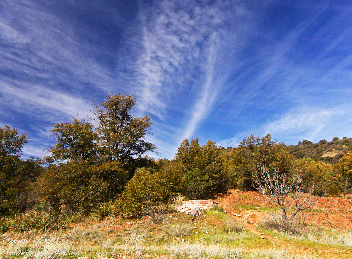
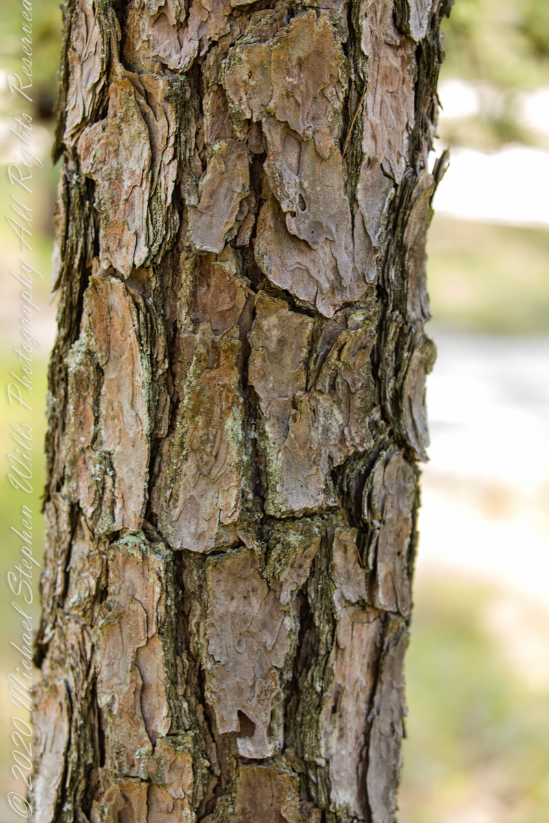
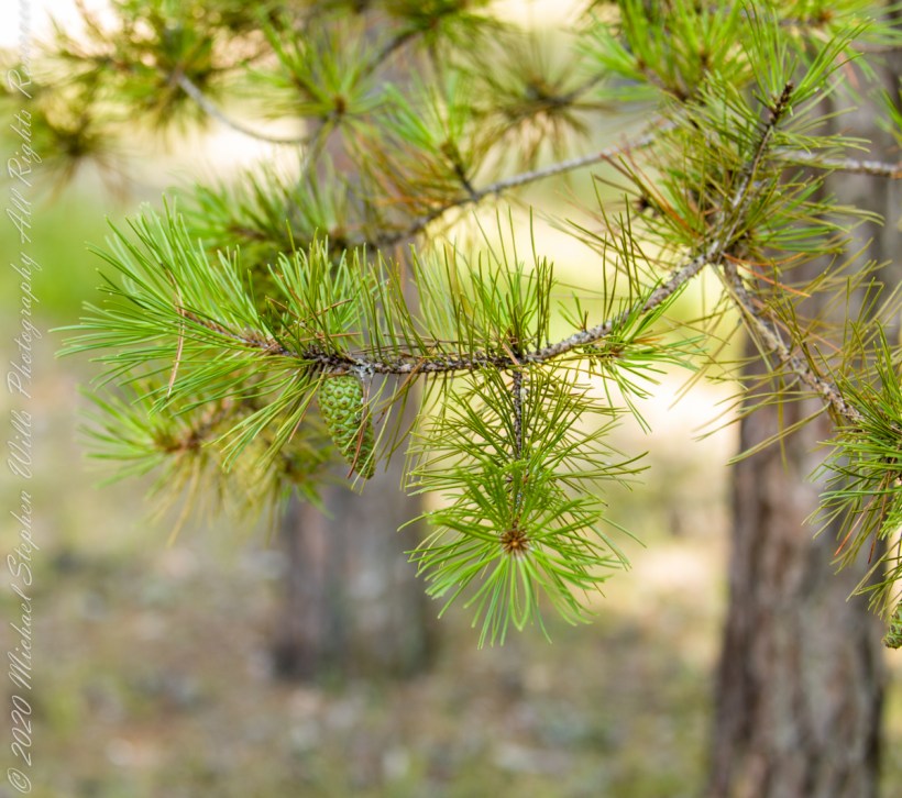
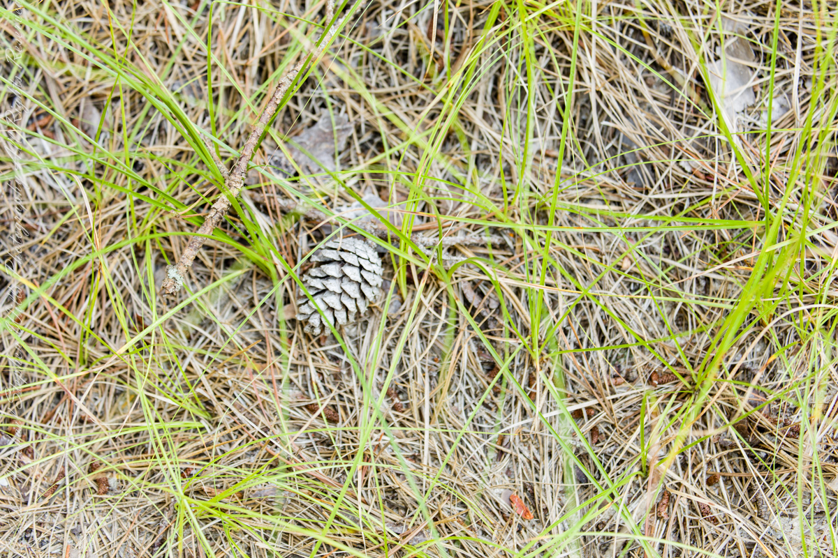
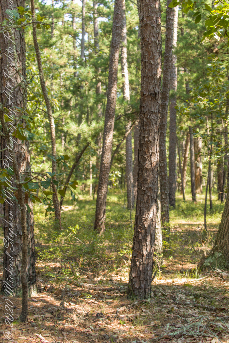
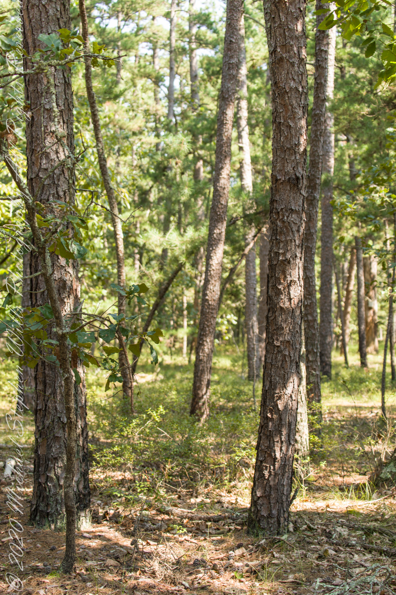
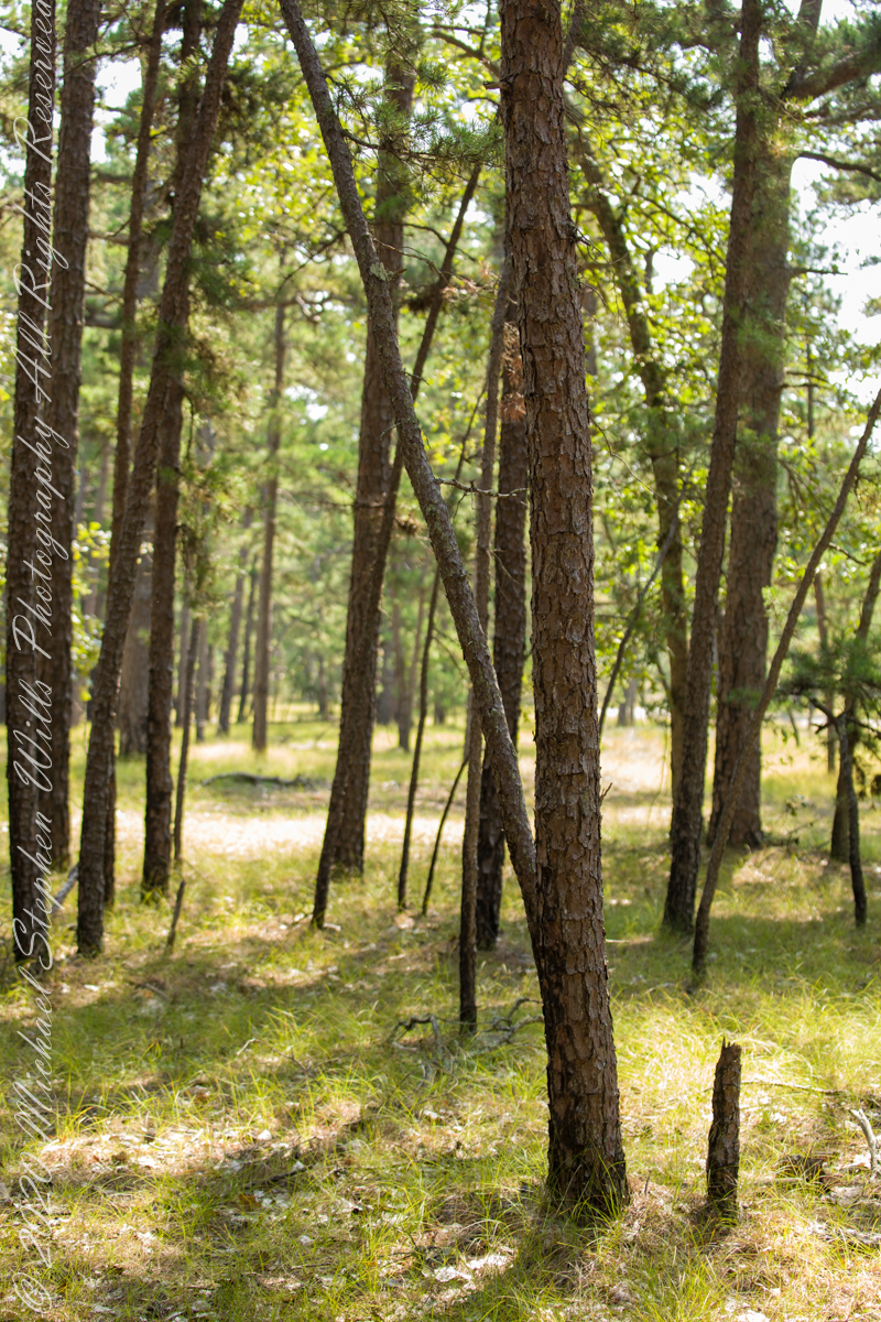
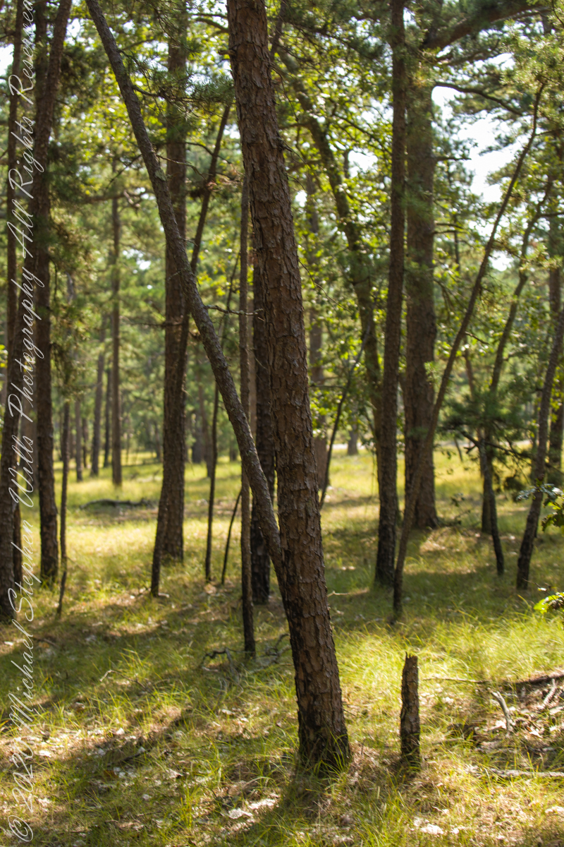
The 115,000 acres of Wharton State Forest are predomenantly Pitch Pine, scientific name Pinus Rigida, and AKA Black Pine and Hard Pine. Climb the fire tower of Apple Pie Hill, in all directions will be a sea of these trees interspersed here and there with occasional oaks. Cedars mark water courses. These photographs, unless otherwise identified, were taken deep in the forest, near where Quaker Bridge spans the Mullica River.
A mature Pitch Pine has bark of large, thick, irregular plates, adapted to survive forest first, similar to another member of the Pinus genera, the Ponderosa Pine.
Click pic for larger view in a new browser tab. If you are in WordPress Reader, open the post to use this feature.
Trunk of a mature pitch pine
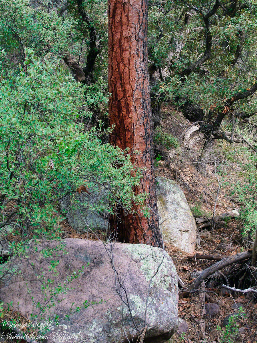
Trunk of Ponderosa Pine, Superstition Wilderness
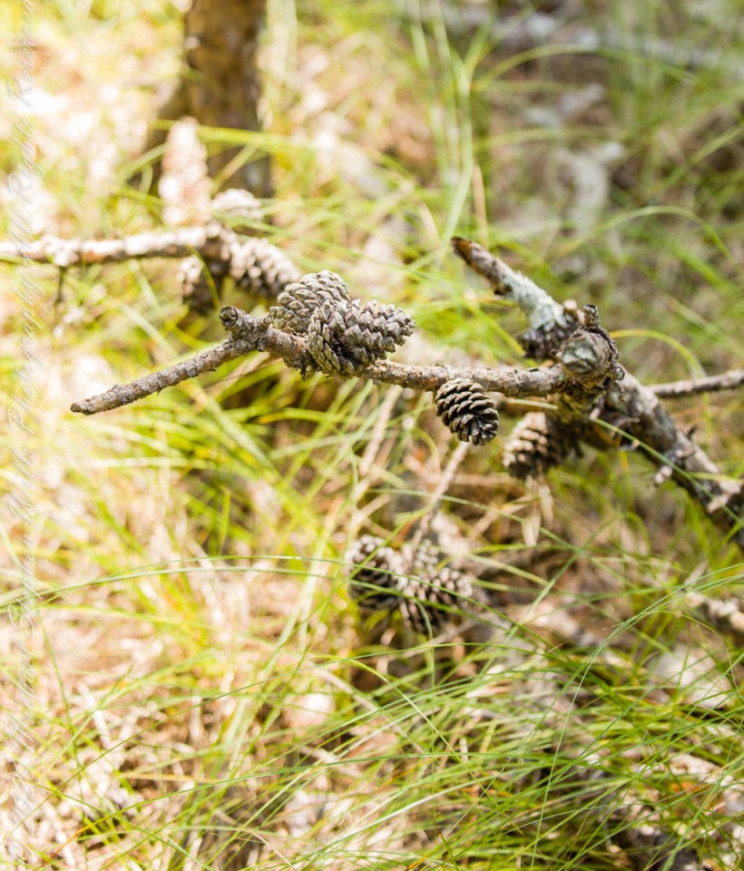
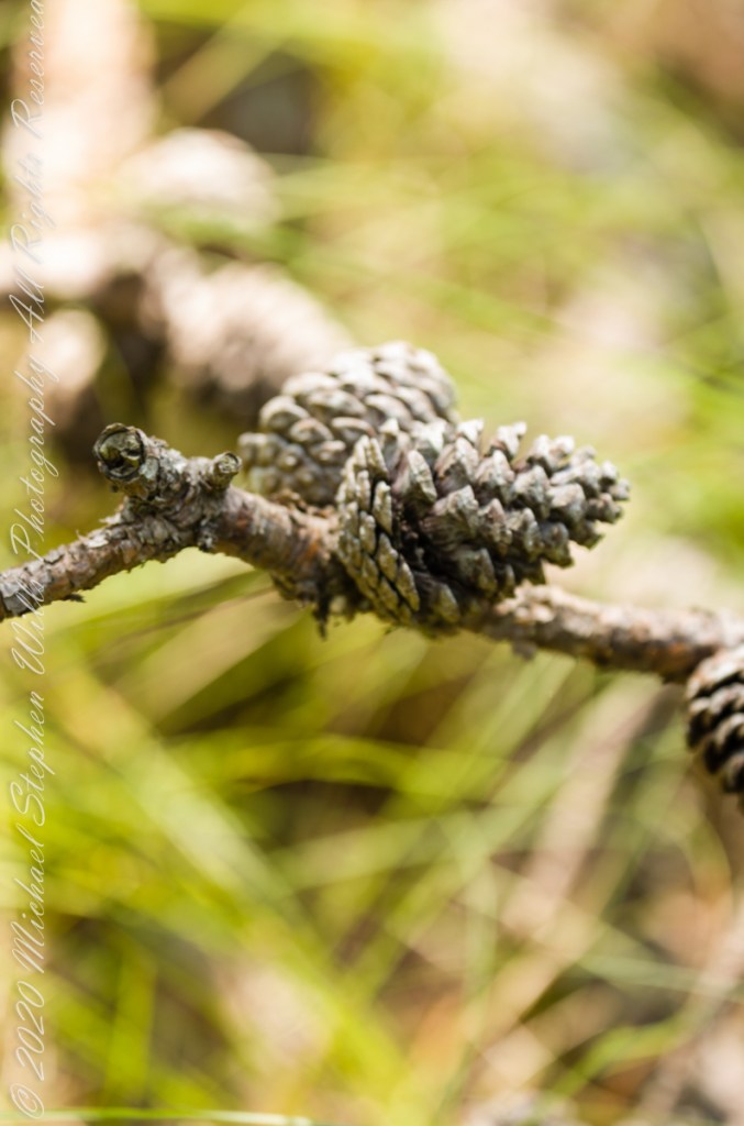
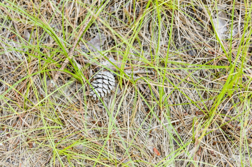
Open-growth trees begin bearing cones in as little as three years, with shade-inhabiting pines taking a few years longer. The cones are 4–7 cm (1+1⁄2–2+3⁄4 in) long and oval, with prickles on the scales. Cones take two years to mature. Seed dispersal occurs over the fall and winter.
Unlike the another member of genus Pinus, the Pinyon Pine, the seeds released by Pitch Pine cones are not sought out for human consumption.
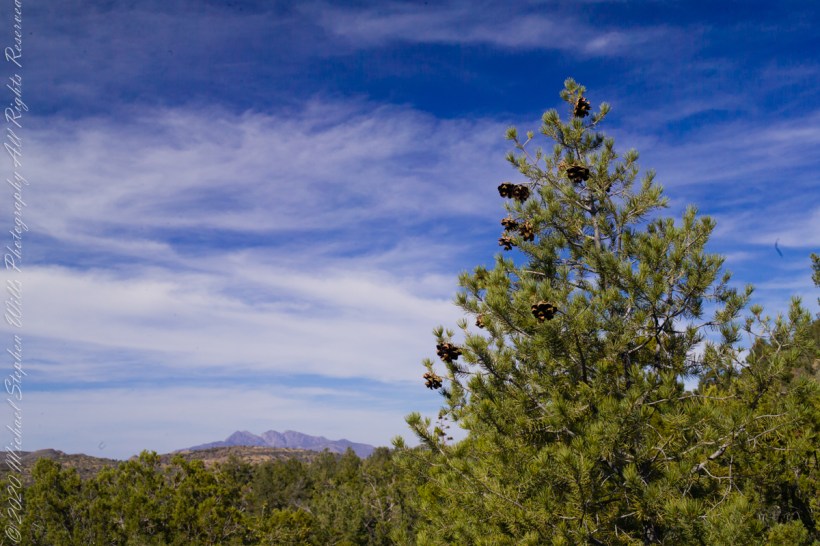
Large Pinyon Pine with mature cones on the slopes of Mound Mountain above Reavis Valley. Superstition Wilderness, Arizona. Four Peaks Wilderness is in the distance.
Copyright 2021 Michael Stephen Wills All Rights Reserved
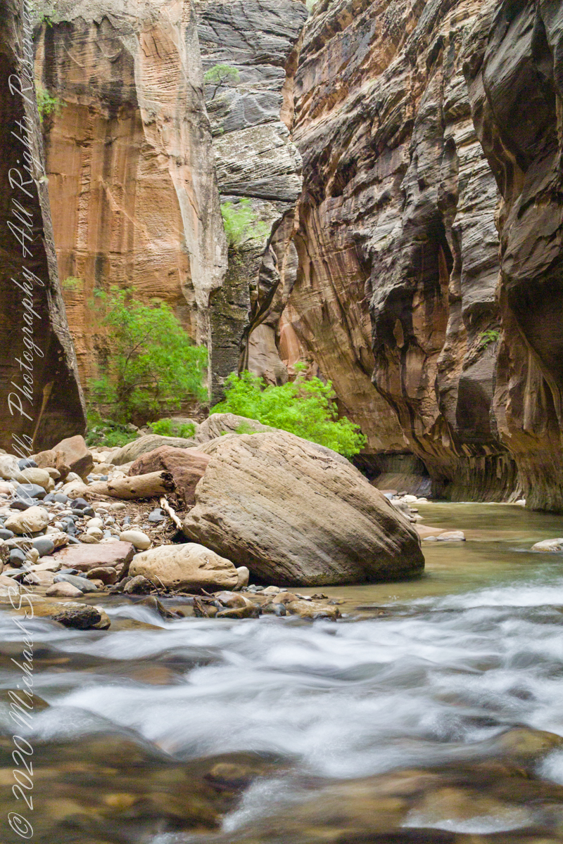
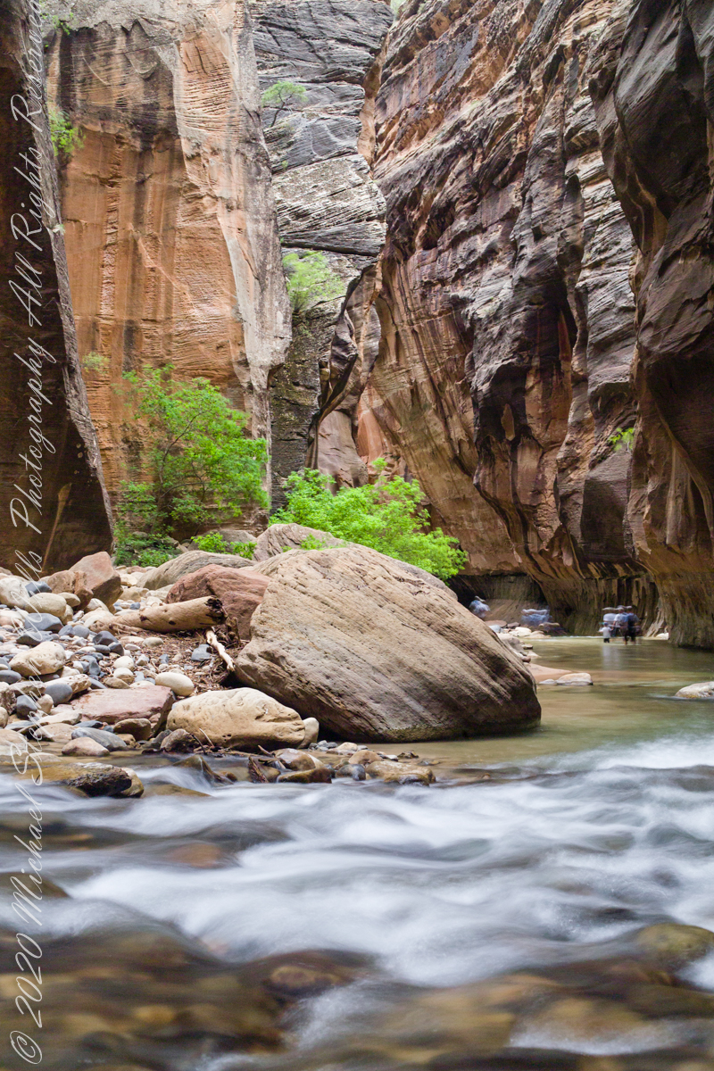
In this series of three exposures from a tripod mounted Kodak DSC Pro SLR/c and Canon EF 50 mm f/1.4 USM lens, all were ISO 250, at f/8. The difference was the exposure time. In is the shortest exposure, 1.6 second, the human figures are blurred, though to a lesser extent than the second image, released earlier.
This is the last image of our trip to Zion National Park.
Copyright 2021 Michael Stephen Wills All Rights Reserved
Multiple trails lead from where Quaker Bridge crosses the Mullica River. These are from a handheld Canon 5d Mark IV with the Canon EF 70 – 300 mm f/4.0-5.6 ISM lens.
Click pic for larger view in a new browser tab. If you are in WordPress Reader, open the post to use this feature.
70 mm, ISO 200 , 1/40 sec at f / 4.5
lll
Copyright 2021 Michael Stephen Wills All Rights Reserved
Another aspect of the gradual 1/2 mile inclined path to the central ring of the prehistoric Dun Aonghasa ruins of County Galway, Ireland.
The view north, northwest from this way to Dun Aonghasa (Dun Aengus). In early June, looking across wildflowers, karst landscape, walled fields, farms, the North Atlantic Ocean, coast of Connemara and the 12 Bens (12 Pins) mountains.
Note the doorway (with long lintel) in the surrounding wall, to left of center in middle distance.
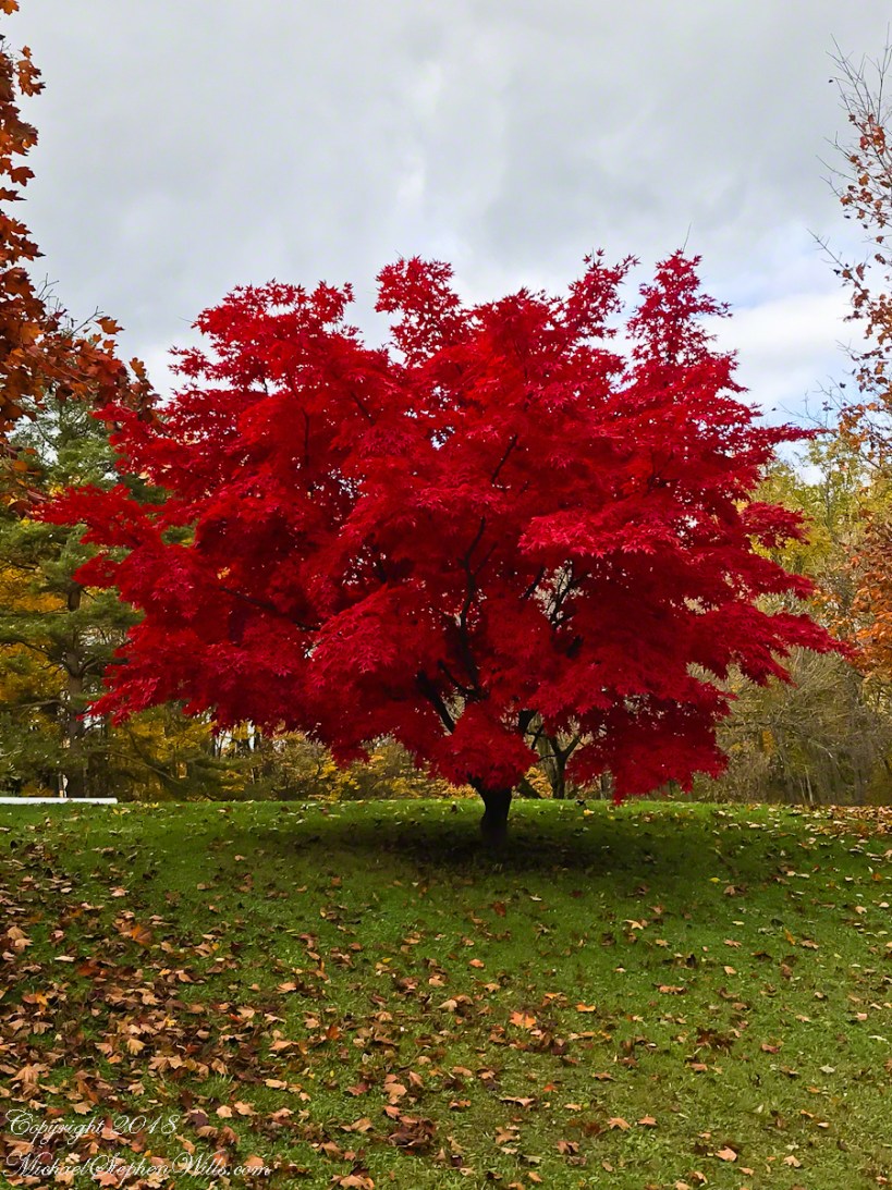
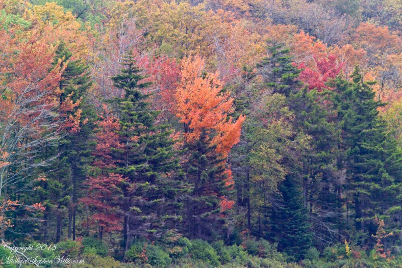
Yesterday, Pam and I headed to the peneplane behind our home to enjoy the Finger Lakes terrain graced by fall colors. The day before I noticed the Japanese Maple leaves had turned from maroon to vermillion. While waiting for Pam to get ready, I capture the following two shots.
This tree was planted by my father and mother in-laws. Developed over the centuries by the Japanese, specimens reached England in the 1820 and spread from there. It is not strictly accurate to call the color vermillion, since cinnabar finely ground produces the pigment for which the color is named, when the sun strikes the leaves vermillion is a metaphor for the impression made.
The scientific name for these trees is Acer palmatum with common names Palmate Maple (for the shape of the leaves “like a palm tree”, as for the scientific name), Japanese Maple or Smooth Japanese-Maple (for the bark).
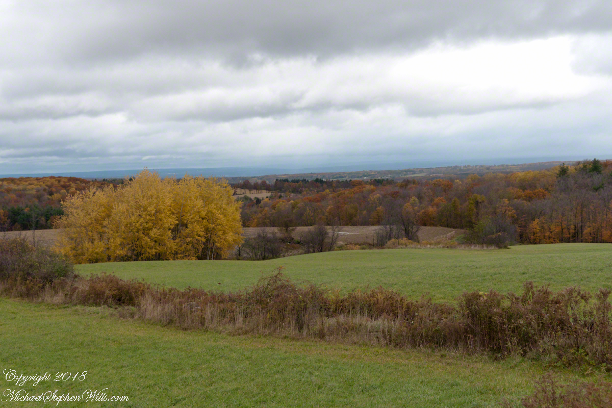
We drove under the clouds, enjoying the rare dramatic shafts of sunlight and I gave up, finally, tying to time my shots. Here is the view from Connecticut Hill.
The previous photos were taken with a hand held Sony Alpha 700 with variable lens. The next two are with an Apple iPhone I had a hand when Pam and I returned home for a walk around the neighborhood to witness the transformations.
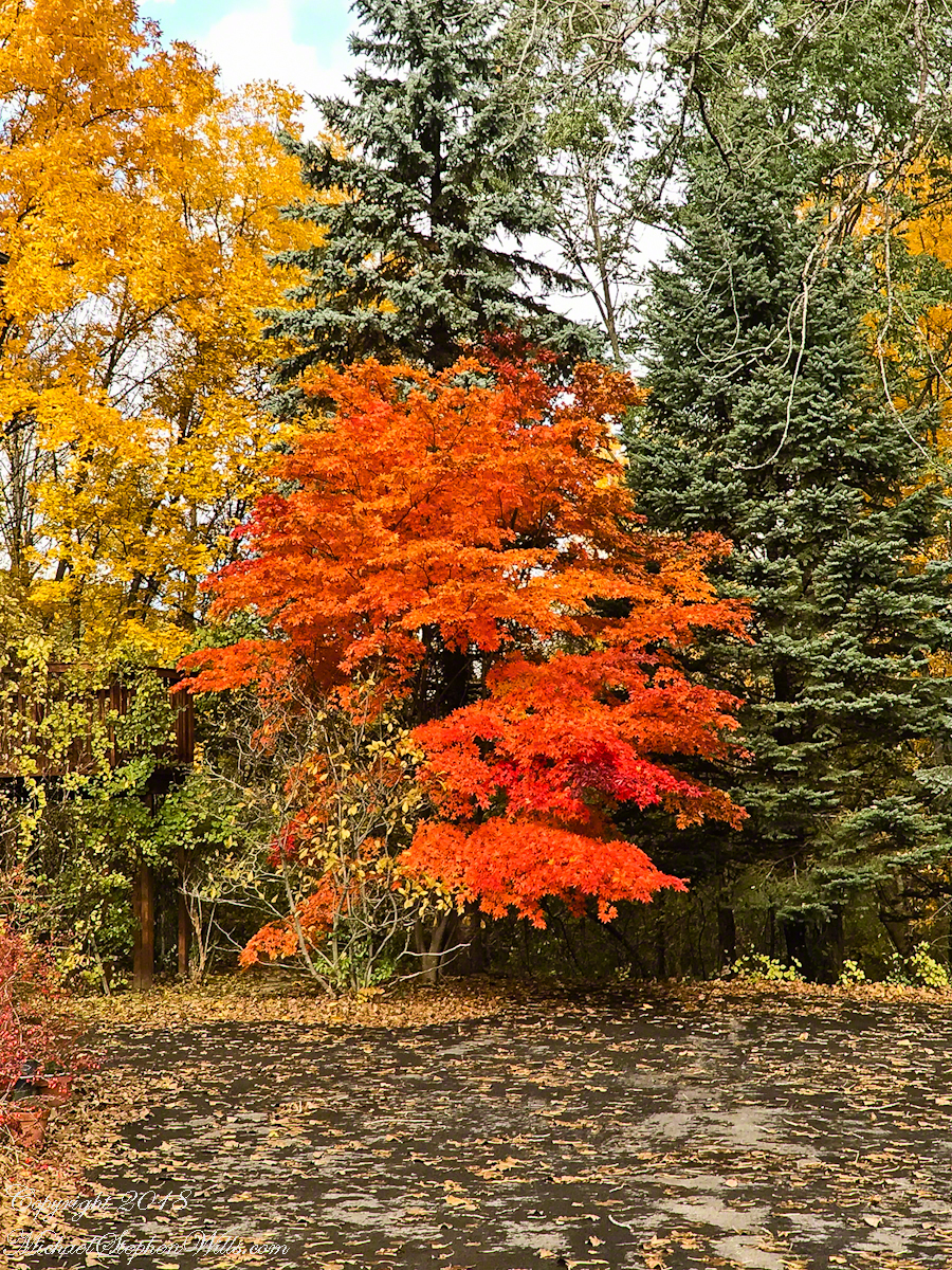
We were surprised by this orange maple, never recalling this shade before. Like our Japanese Maple were assume it is a non-native ornamental.
Our Japanese Maple is a challenge to capture photographically as it grows beneath a larger “nut” (don’t recall the kind at the moment) tree. We are working together to improve that, so I don’t have an overall photograph.
Here is our neighbor’s Japanese Maple. They have a story of carrying this tree, as a sapling, on the bus from Long Island. I love the impression of dark limbs among the clouds of red foliage.
This photograph (the “far” of the “near and far”) is from a remote corner of Chiricahua National Monument, during the trip mentioned in my post, “History and Ghosts of the Triangle T Ranch”. To get there, I drove over a mountain pass to a location was featured in an “Arizona Highways” I read long ago.
I call this photograph “Red Dragon,” the formation is known as a “maple “
dragon”, from the long sinuous form of the tree limb. Known for this reddish orange autumn color, this is a Big Tooth Maple, AKA Canyon Maple. Scientific Name Acer grandidentatum (as in “big tooth”). It is a wild specimen, living along the north fork of Cave Creek. It is a area well know to avid bird watchers and ornithologists.
Multiple trails lead from where Quaker Bridge crosses the Mullica River. These are from a handheld Canon 5d Mark IV with the Canon EF 70 – 300 mm f/4.0-5.6 ISM lens.
Click pic for larger view in a new browser tab. If you are in WordPress Reader, open the post to use this feature.
70 mm, ISO 200 , 1/60 sec at f / 4.0
lll
70 mm, ISO 200 , 1/80 sec at f / 4.0
Copyright 2021 Michael Stephen Wills All Rights Reserved
Multiple trails lead from where Quaker Bridge crosses the Mullica River. These are from a handheld Canon 5d Mark IV with the Canon EF 70 – 300 mm f/4.0-5.6 ISM lens.
Click pic for larger view in a new browser tab. If you are in WordPress Reader, open the post to use this feature.
70 mm, ISO 200 , 1/80 sec at f / 4.5
lll
70 mm, ISO 200 , 1/80 sec at f / 4.5
Copyright 2021 Michael Stephen Wills All Rights Reserved