Among the 7,000 year old remains found in Windover Bog was the skeleton of a boy crippled from spina bifida who had to be carried around and treated for the 16 years of his life.
I was born into a world that danced around me, a world I could only witness but never fully join. My legs, unlike those of the other children in our tribe, refused to carry me. I spent my days close to our hut, watching the life of our village unfold from my corner, shaded by the leafy arms of the great trees.
My mother was my bridge to the world. She carried me to the edge of the waters, where I would watch my friends play, their laughter a melody I cherished. She showed me the way the water held stories, the way the reeds whispered in the wind. She taught me to weave, my fingers nimble and quick, making up for my still legs.
As I grew, I found my place among my people. I became a keeper of stories, a weaver of tales, just as I wove reeds into baskets. My voice became my movement, my words a dance.
Then, illness found me. It crept into our hut, a shadow that no fire could dispel. My mother’s eyes, always so full of warmth, grew clouded with fear. She fought for me, her hands constantly working – crushing herbs, whispering prayers.
I saw her struggle; saw the toll it took. I wanted to ease her burden, tell her it would be alright, but my voice had begun to fail me. All I could do was squeeze her hand, a silent message of love and gratitude.
As my breaths grew shallower, I watched her. She was my world, her face the last thing I saw as I drifted away, her lullabies carrying me to a place of peace.
I am his mother, heartbroken and weary. My son, my joy, lies motionless, his chest barely rising. I had always carried him, but now, there’s a journey I cannot make with him.
I remember his laughter, bright and clear, despite his bound body. His spirit had wings, even if his legs did not. He was the light of our tribe, a storyteller, a dreamer.
When he leaves me, my heart shatters. The tribe gathers, offering comfort, but the void he leaves is too vast. We prepare him for his final journey, wrapping his body, laying beside him his favorite weaving tools, the small toys he cherished.
We take him to the bog, our sacred place. Gently, we lay him in the water, his final cradle. The waters close over him, holding him in an eternal embrace.
Years pass, but his memory remains, alive in the stories I tell by the fire.
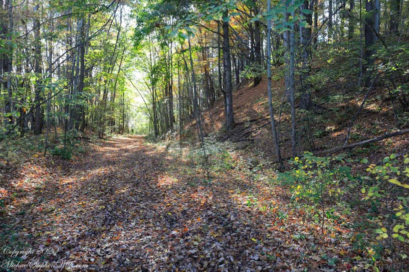
The Malloryville eskers near Freeville, New York, highlight the region’s glacial history and contribute significantly to biodiversity and local ecology.
Walking here, I enjoy telling the grandchildren of the immense, mile-high ice sheet that once covered this land 10,000 years ago, creating these hills and hollows.
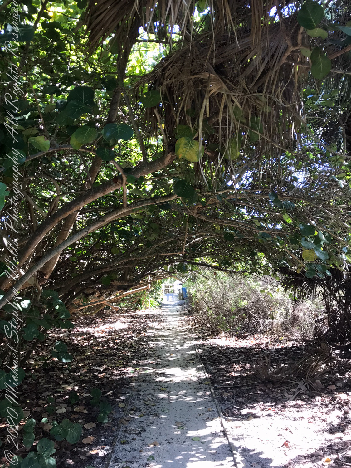
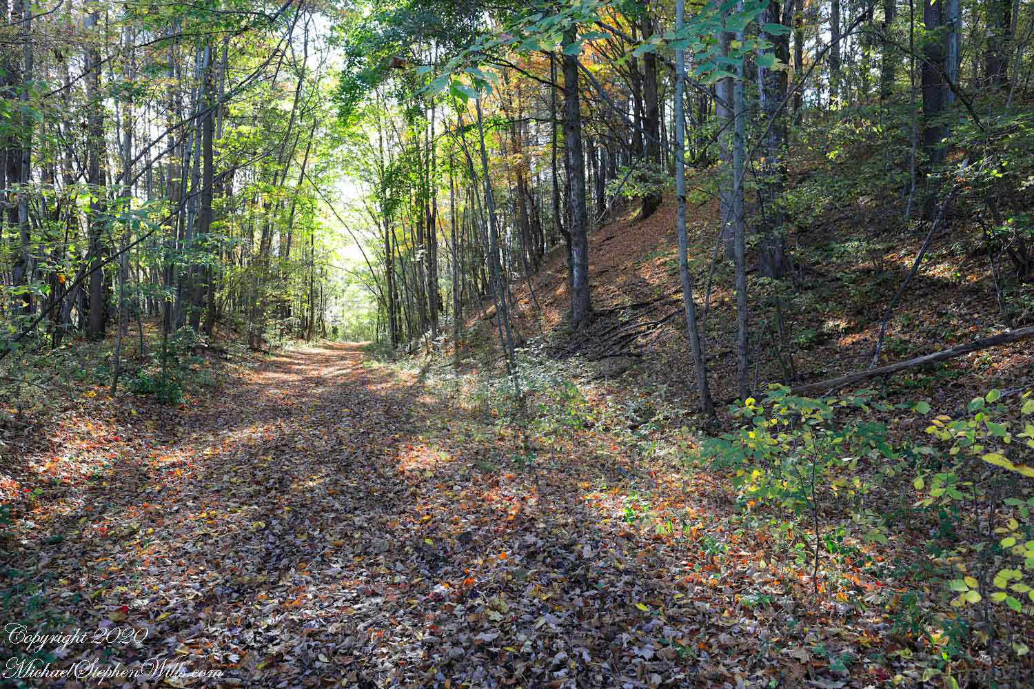
A forested path set among the glacially formed terrain of the O.D. von Engeln Malloryville Preserve near Freeville, New York.
Eskers are geological features that tell a rich tale of the glacial history of an area. In the landscape near Freeville, New York, the eskers of Malloryville stand as prominent reminders of the last Ice Age and the profound effects glaciers have had on the North American terrain. These elongated ridges, composed primarily of sand and gravel, not only offer a visual spectacle but also provide crucial insights into the glacial processes that shaped the region.
Eskers are formed by the deposition of sediment from meltwater rivers flowing on the surface of or within glaciers. As these glaciers recede, the sediment accumulates in the paths previously carved by the meltwater streams, eventually forming ridges. The Malloryville eskers are particularly notable for their well-preserved structure, giving geologists and enthusiasts alike a clear vision of the patterns of glacial meltwater flow from thousands of years ago.
Located just a few miles from Freeville, the Malloryville eskers are an intriguing natural attraction. The topography of the area, largely shaped by the Laurentide Ice Sheet during the last glacial maximum, is characterized by various glacial features, but the eskers are undeniably some of the most distinct. Their serpentine-like appearance, weaving through the landscape, immediately captures one’s attention and beckons further exploration.
From an ecological perspective, the eskers of Malloryville contribute to the area’s biodiversity. The unique microenvironments created by these ridges offer habitats that differ from the surrounding landscape. This differentiation allows for a variety of plant species to thrive, some of which are specially adapted to the well-drained soils of the eskers. Additionally, these ridges act as corridors for wildlife, facilitating movement and offering vantage points for species like deer and birds of prey.
Historically, the eskers near Freeville have also had an impact on human activity. Native American communities, recognizing the strategic advantage of these high grounds, are known to have used them as pathways or even settlement sites. In more recent history, the gravel and sand composition of the eskers have made them targets for mining activities. While this has led to the alteration or destruction of some sections, it has also highlighted the importance of preserving these unique geological features for future generations.
Efforts to study and preserve the Malloryville eskers have grown in recent years. Local educational institutions, in collaboration with geological societies, have undertaken detailed studies to understand the formation and significance of these features better. Such initiatives not only contribute to the scientific understanding of glacial processes but also raise awareness about the importance of conserving unique geological formations. Given the potential impacts of climate change on glacial landscapes worldwide, the eskers serve as a poignant reminder of the dynamic nature of our planet and the traces left behind by the ebb and flow of ice ages.
In conclusion, the eskers of Malloryville near Freeville, New York, stand as testaments to the glacial history of the region. These winding ridges, with their intricate patterns and rich ecological contributions, weave a story of natural processes that have spanned millennia. They remind us of the ever-changing nature of our planet and underscore the importance of understanding and preserving its geological wonders. Whether one views them with the eyes of a scientist, historian, or nature enthusiast, the Malloryville eskers offer a captivating glimpse into the ancient forces that have shaped the world around us.
Copyright 2020 Michael Stephen Wills All Rights Reserved
In my Homecoming Parade 2003, I described my initial reconnection with the University of Arizona (U of A) as a 1975 graduate and alumnus. This personal project of involvement with U of A and Arizona continued through 2011 with annual autumn trips to coincide with Homecoming. The travel was as a CALS (College of Agriculture and Life Sciences) Alumni Board of Directors member, a primary responsibility was raising funds for scholarships.
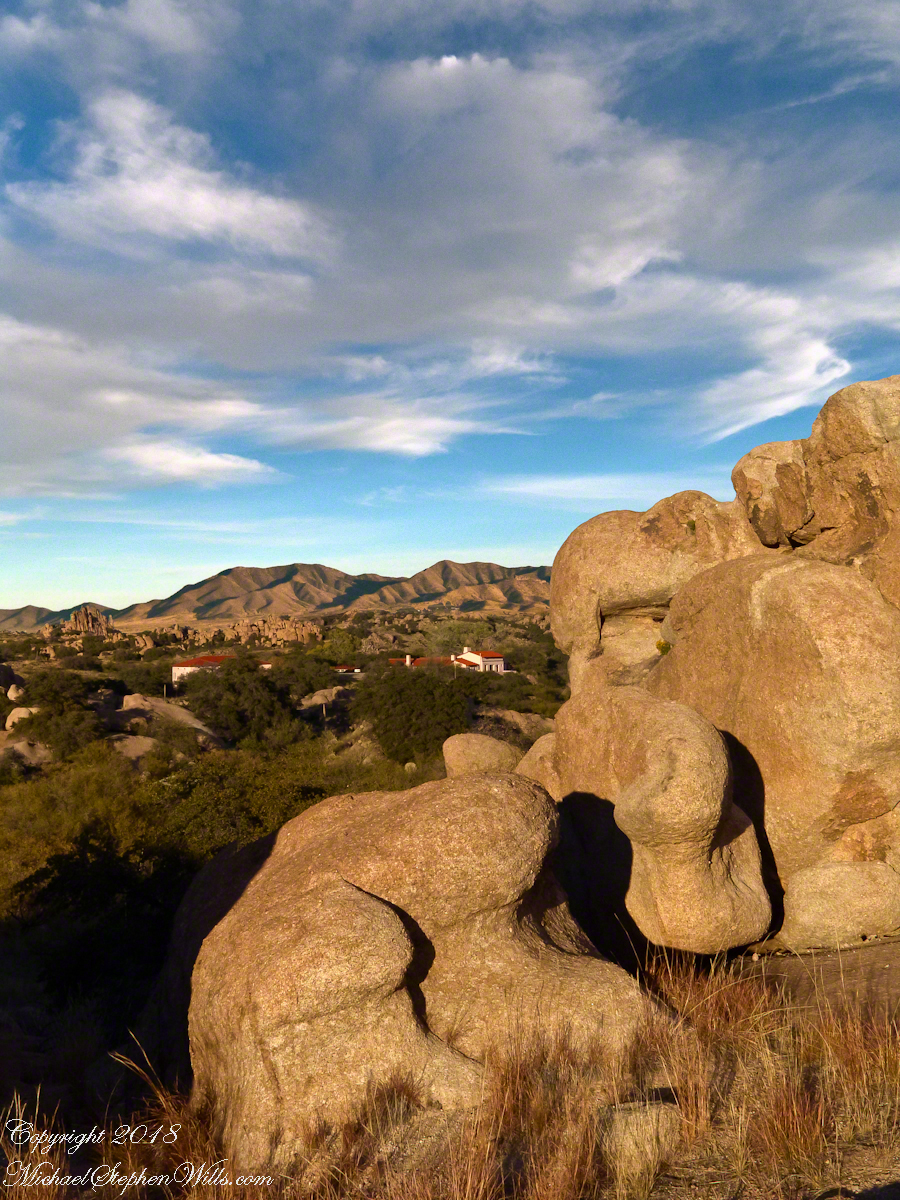
The Amerind Foundation and weathered boulders of Texas Canyon granite. Beyond are the Dragoon Mountains
I met, Linda Kelly, the owner of the Triangle T Guest Ranch, while camping in the Chiricahua Mountains. I arrived a week before homecoming to photograph the landscape, nature and rock formations of the Chiricahua National Monument. Click this link for my Arizona Online gallery, including some work from that time. Linda and a friend were visiting that day and we struck up a conversation about the area and her Triangle T Guest ranch. The next day I was scheduled to guest lecture a class at the U of A, as an alumnus of CALS. The ranch was on the way and I needed a place to stay, so Linda gave me directions and I checked in.
She gave me a tour of the incredible weather granite rock formations of Texas Canyon and, meanwhile, shared stories of the history of Texas Canyon. It is appropriate for the Amerind Foundation to be here (see first photograph), the winter camp of an Apache tribe for generations.
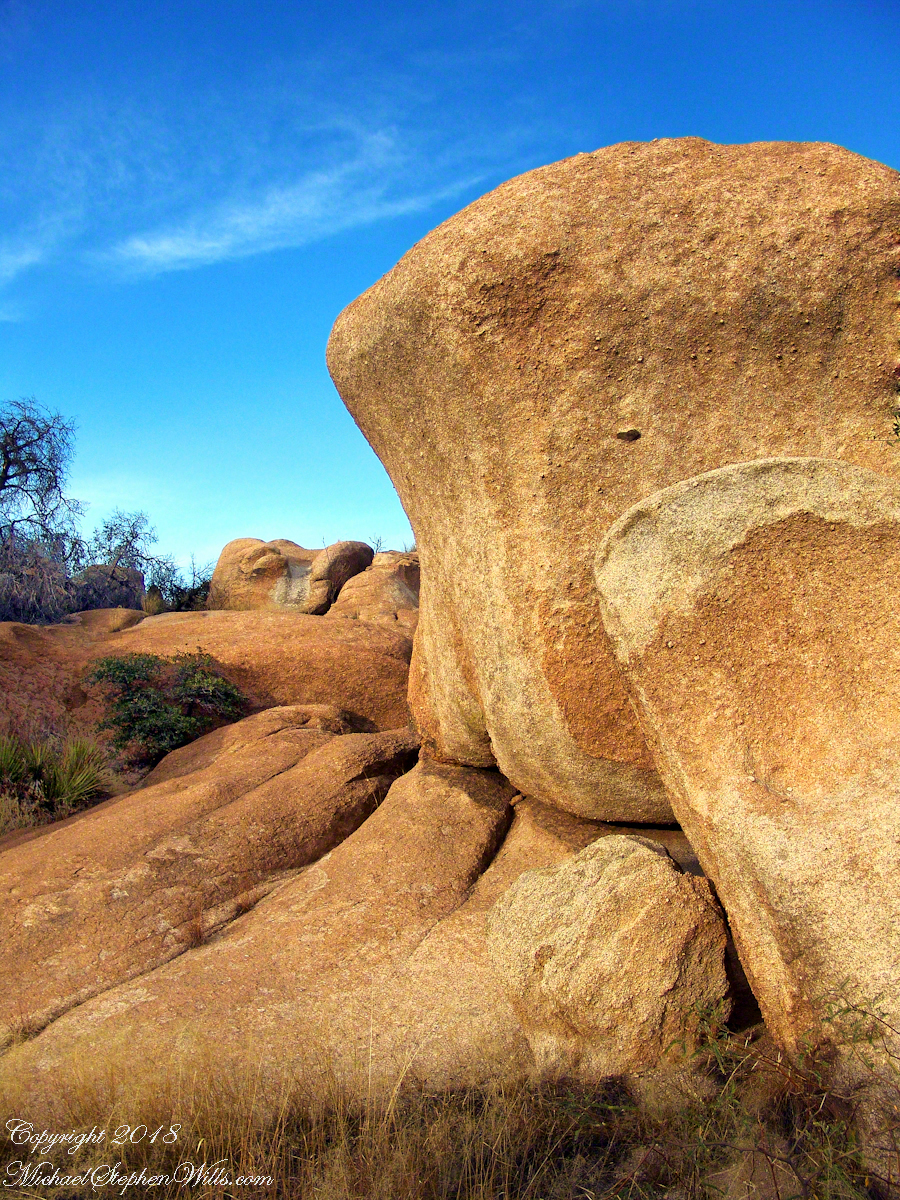
Weathered granite boulders greet visitors to the Triangle T Ranch.
That night, my request was for a room storied to be haunted by a spirit they call “Grandma,” as in when her footsteps wake you from a sound sleep you say, “It’s all right, Grandmother.” She woke me that night, footsteps in the dark, hollow on the wood floor, the room filled with a hard cold. I talked to her, without a response, while swinging my legs out of bed to reach the gas heater in the wall. I turned on the heat and the sound of expanding metal heat fins lulled me to sleep.
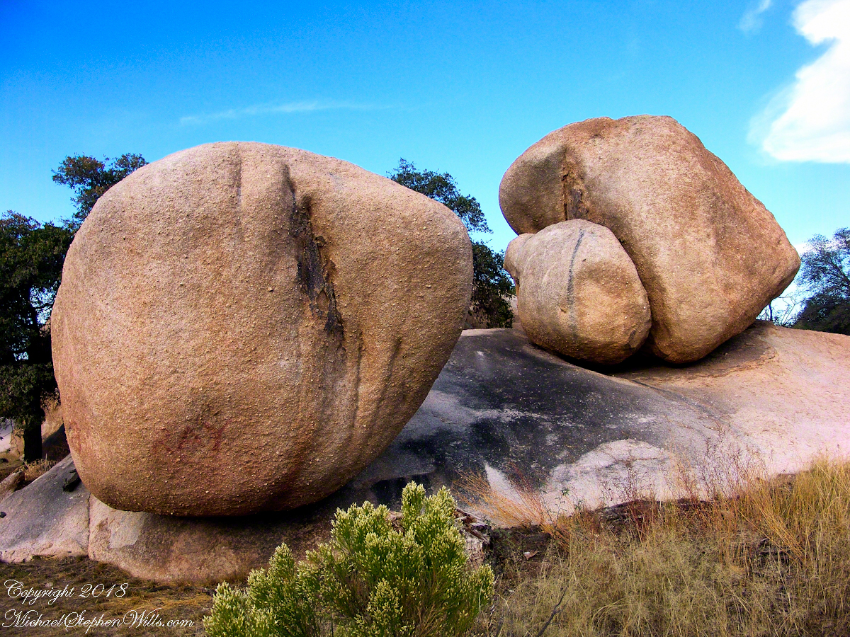
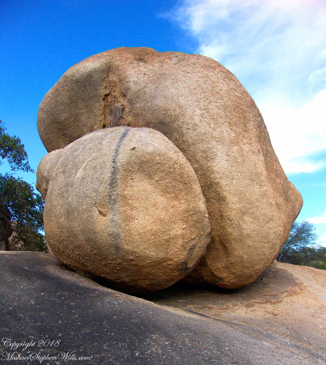
I call this pair, “Father and Son.” The restaurant is built around a round boulder.
It made a good story for the students. They were surprised I could fall back asleep, but after all I had to be there the following morning.
Your imagination roams among the natural forms.
I gave Linda a few of my photographs from that day and we made arrangements for the Triangle T to supply a two night package for the CALS “Dean’s Almost World Famous Burrito Breakfast” silent auction during 2008 homecoming.
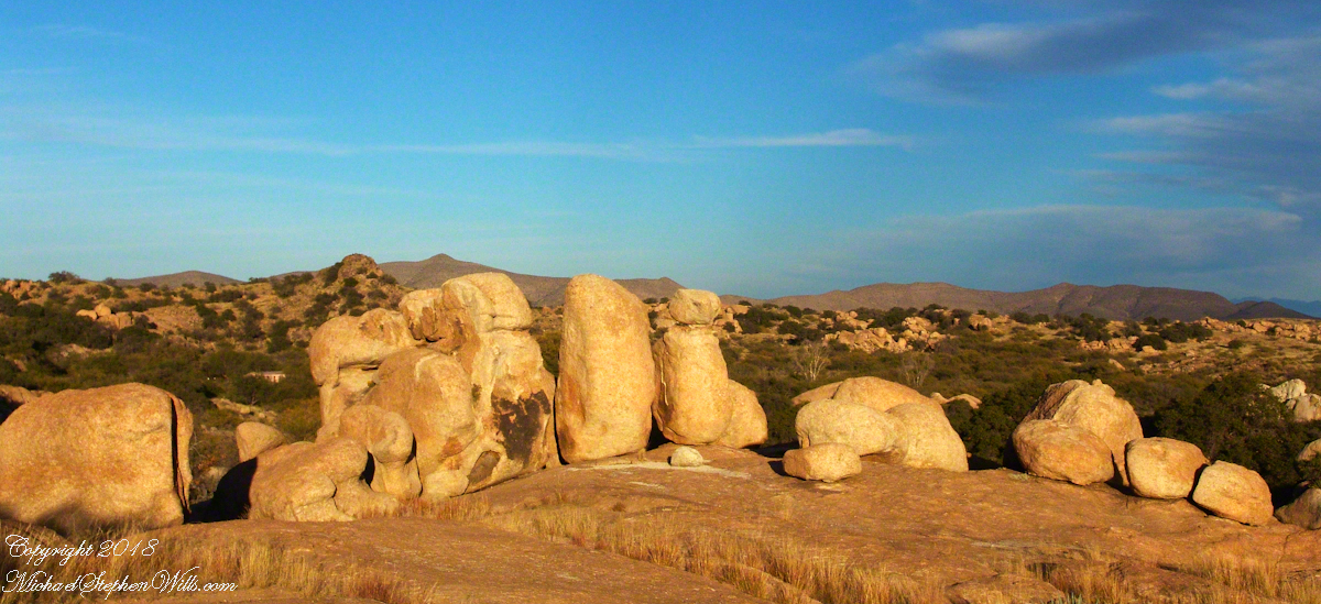
A tableau of figures keep silent watch with the ghosts of Texas Canyon.
Copyright 2023 Michael Stephen Wills All Rights Reserved
Thursday last, grandsons Sam and Rory and I visited Sapsucker Woods, enjoying a late summer morning we clambered onto a wooden platform over a watery swamp.
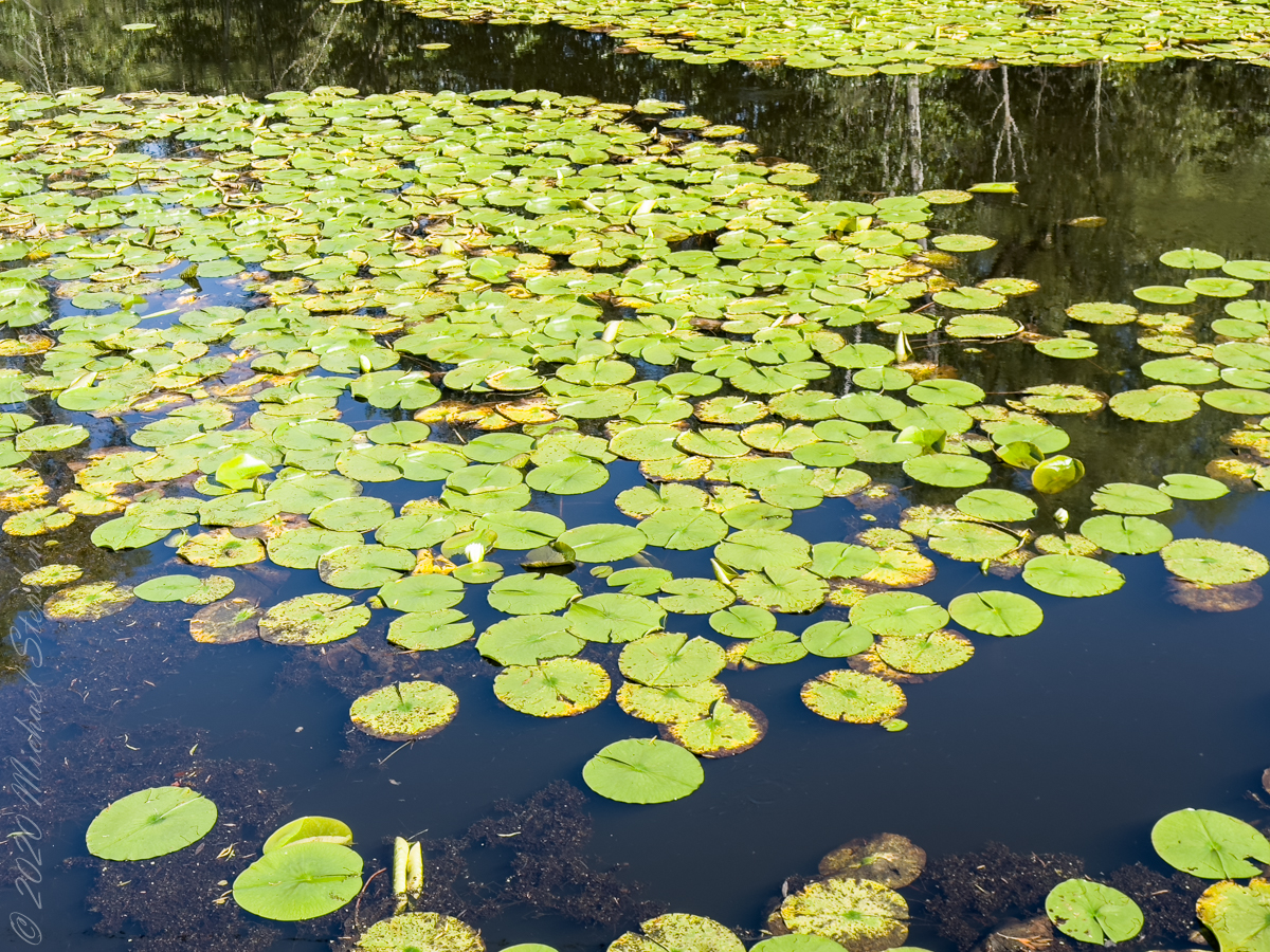
Look closely for flowers and buds of the White Water Lily native to New York State.
Although the young leaves of White Water-lily reportedly can be boiled and served as a vegetable, the main human use of this plant appears to have been medicinal. Native Americans used it as a herbal remedy for a variety of ailments, including colds, tuberculosis, bronchial complaints, toothaches, and mouth sores.
The many names for this plant: American White Waterlily, American White Water-lily, Fragrant Water-lily, Fragrant White Water Lily, Fragrant White Water-lily, Sweet Water-lily, Sweet-scented Water Lily, Sweet-scented White Waterlily, Tompkins County, Water, Water Lily, Waterlily, White Water Lily, White Waterlily, White Water-lily (Nymphaea odorata ssp. odorata)
In this post we start the day of my posting “Family Trek“, July 19, 2008, when, well before the sun rose at 6:23 am Mountain Daylight Time (the Navajo Reservation observes daylight savings, the rest of Arizona does not), Pam and I were at the Spider Rock Overlook.
Most visitors to the canyon make use of a system of roads and parking lots next to strategic views. There is the White House Overlook we visited our first day, July 18, to hike from the trailhead into the canyon. There are also, on the south side of the canyon:
Tsegi Overlook, taken from a Navajo word that translates directly to “between the rocks” and usually refers to a deep canyon with steep cliffs.
Junction Overlook above the point where Canyon Del Muerto (see my posting “Sun and Shade, Canyon Del Muerto”, and Canyon De Chelly intersect. There is an Anasazi ruin in the south-facing cliff across the canyon.
Sliding House Overlook, another Anasazi run across the canyon.
Face Rock Overlook, to view the eponymous formation.
Spider Rock Overlook, the most stunning rock formation.
Click any photograph for my Online gallery.
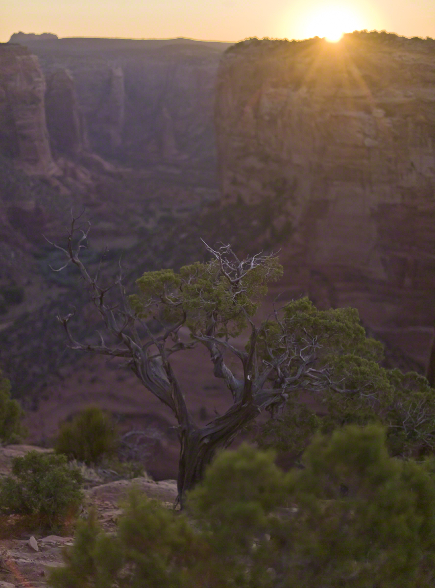
Looking east from the Spider Rock overlook, Canyon De Chelly.
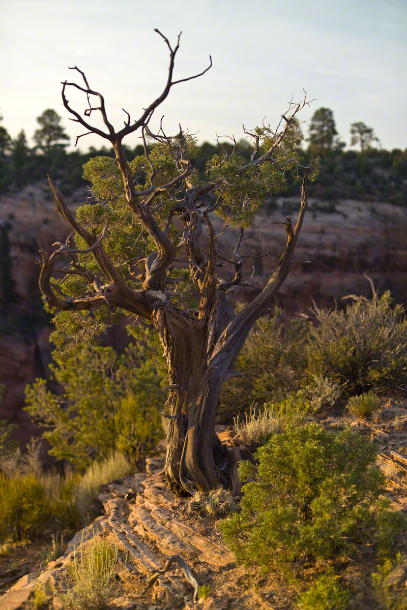
While getting ready I scoped out the location for interesting visual tropes. Utah Junipers are exceptionally hardy shrubs, stressed individual plants grow into compelling forms shaped by hardship. As the sun rose, this specimen emerged from the gloom and caught the first sun rays.
Click any photograph for my Online gallery.
A distressed Utah Juniper on the edge of Canyon De Chelly overlooking Needle Rock a few moments after sunrise.
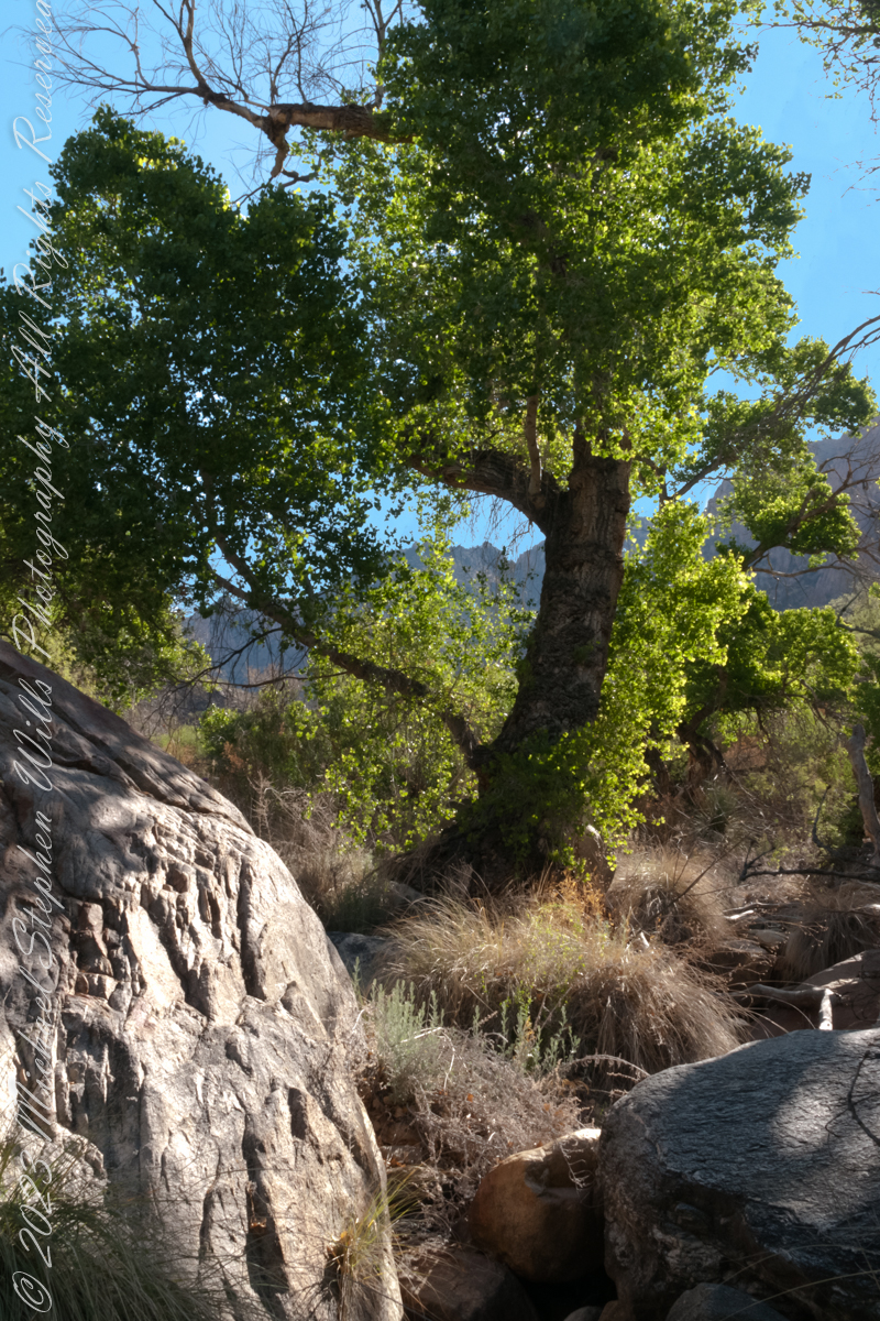
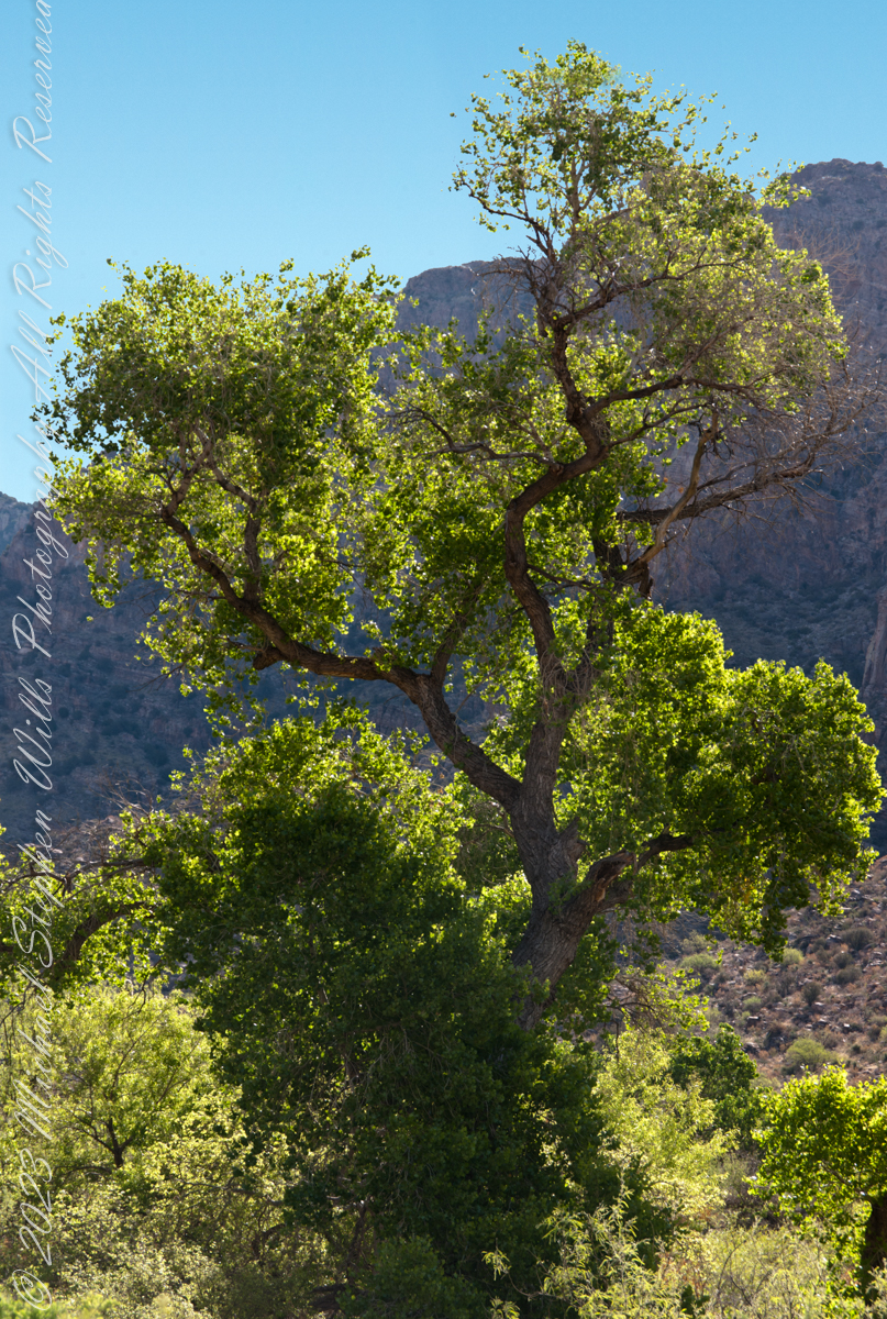
A large Fremont’s Cottonwood Offers shade and protection along the Pima Canyon Trail.
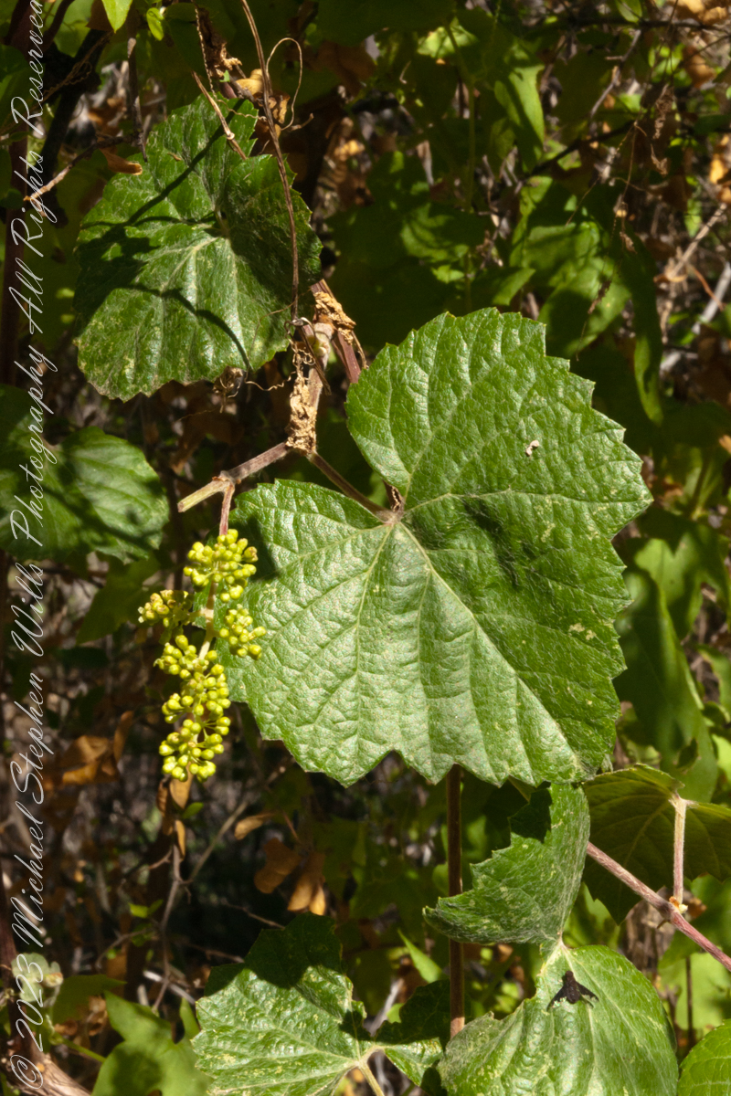
In the shade, a grapevine, offers a vain promise of grapes.
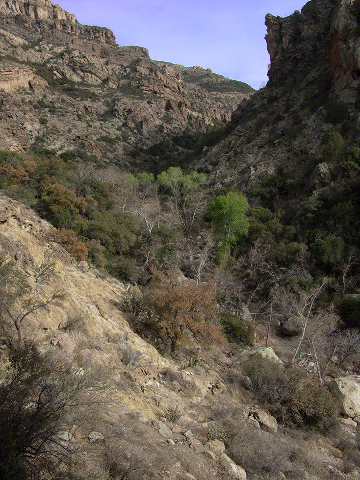
The cottonwood’s deep roots draw water from a mountain stream.
Native Americans in the Western United States and Mexico used parts of Frémont’s cottonwood variously for a medicine, in basket weaving, for tool making, and for musical instruments. The inner bark of Frémont’s cottonwood contains vitamin C and was chewed as an antiscorbutic – treatment for vitamin C deficiency. The bark and leaves could be used to make poultices to reduce inflammation or to treat wounds.
The Pima people of southern Arizona and northern Mexico lived along Sonoran Desert watercourses and used twigs from the tree in the fine and intricate baskets they wove. The Cahuilla people of southern California used the tree’s wood for tool making, the Pueblo peoples for drums, and the Lower Colorado River Quechan people in ritual cremations. The Hopi of Northeastern Arizona carve the root of the cottonwood to create kachina dolls.
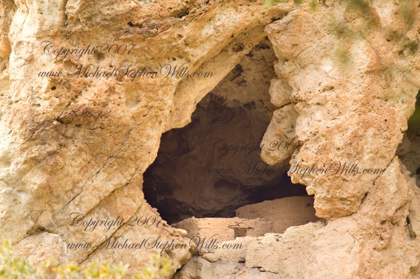
About 700 years ago, when the expansion of the Mongol empire was under way, on the other side of the planet people discovered a series of caves, formed in tuff, with a favorable location in a south facing cliff near water. Tuff, a rock formed from volcanic ash, is hard, brittle and soluble in water. From these properties this series of caves formed. The southern exposure provided excellent climate control for people, like those we now call the Salado, who understood how to exploit the location.
They constructed from local materials (mud, plants and rock) rooms in the upper cave just far enough inside to be warmed by the winter sun and protected during the summer when the sun’s sky-path was higher. Who knows how long the Salado lived in what must have been this paradise or why they left.
In March 2006, after returning from a nine-day backpack trip to the remote eastern Superstition Wilderness I used a four-wheel vehicle to reach the Roger’s Trough trailhead for a day trip to this site in Roger’s Canyon. The advantage of Roger’s Trough is the high elevation that leaves “just” about 1,100 feet of climbing (2,200 total) for the day. As it happens, it is downhill to the ruins though there is plenty of ups and downs plus scrambling over rocks.
I started late morning and a returning party met me on the way out and warned against leaving packs unattended. It seems they were victimized by pack rats. My timing was lucky and I had the site to myself.
First (refer to the “Roger Canyon” photograph, above) I climbed the cliff opposite from the ruins to set up a tripod an telephoto lens to shoot through the trees to capture the main building inside that very interesting looking tuff (see below). That central column (to the right) divides the cave opening and there are views from inside, up and across the canyon. In season, the cliffs are occupied by nesting birds and, higher up, there are fascinating caves in locations too high and steep to reach without the proper equipment.
As it is, climbing into the upper cave requires an exposed rock scramble. By “exposed” I mean the climber is exposed to falling. That is an intact wooden lintel of the visible structure opening and the larger structure, to the right, has curved walls.
Salado Cave Ruin
I then explored in and around the site. The location of a lower cave made it useful for storage, it was walled off and the sturdy structure still stands today. By the way, I inverted this view for artistic purposes.
Lower Storage Room
A lower cave is opened and accessible. Looking out, I felt the original inhabitants were with me and then a raven started calling over and over and over.
Lower Cave
I was so fascinated by the possibilities of the site that time got away from me until this incessant cawing of a raven made me notice the lengthening cliff shadows. Here is a view (see below) of my way home, back up Rogers Canyon. My last shot before packing up. It took just over two hours to get out, at a steady pace. It was twilight as I approached the Rogers Trough trail head.
By the way, my posting before this one (“Finding Circlestone”) includes a shot of White Mountain. In that view, these ruins are on the other side of White Mountain.
View up Rogers Canyon from the Ruins
Copyright 2023 Michael Stephen Wills All Rights Reserved
I first learned about Circlestone from stories The Searcher told during my first backpack into the eastern Superstition Mountains, on the Tule trail, April 2005. I described this in “Riding from Pine Creek to the Reavis Valley” where the Searcher described a stone circle, overgrown with Alligator Juniper, on the slopes of Mound Mountain. He pointed south toward a peak and foothills that rose from the valley floor and said, “follow the fire trail east from the southern Reavis Ranch valley.” There were strange happenings associated with Circlestone (as he called it) and he’d never taken the time to go there. “There is a book full of stories.” I eventually sought out Circlestone on the web and in books, but after I found it on my own using only the Searcher’s directions and advice from friends met on the way.
Sunset from Castle Dome
Backpacking with my sister
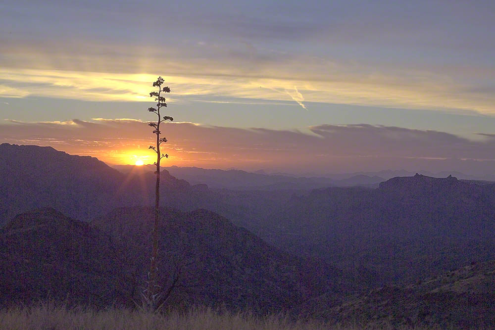
In 2006 I explored Circlestone twice along with my sister, Diane, who accompanied me. First for nine days early March 2006 using the Reavis Ranch trail from the north and the second for five days in November 2006, coming us the same trail from the south. Our first trip was Diane’s first “real” backpack adventure and we took it slow with a camp at Castle Dome where there are flat areas and exceptional views. Above, is the sunset from our second night (I camped the first night next to the car…we took it very, very sloooowwww).
Four Peaks Sunrise
Castle Dome
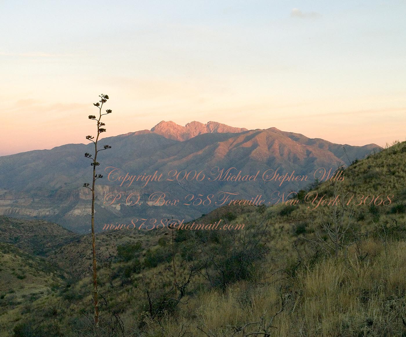
Then, there was morning of our third day. Here is the Four Peaks Wilderness in the first rays of dawn. These are green, rolling foothills of grass, low shrubs and a few juniper. If you know where to look, there’s an unmarked trail to Reavis Falls (the highest waterfall in Arizona). I found the trail and visited the falls on a later trip.
Castle Dome Sunrise
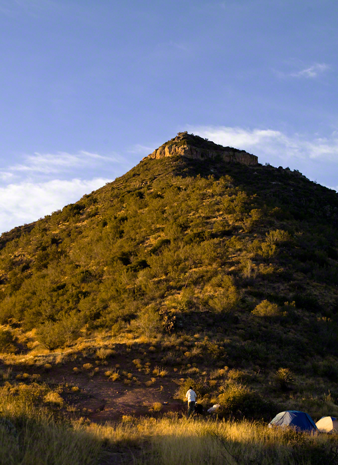
After enjoying the Four Peaks, you turn around and see Castle Dome in the morning light, as in this photograph. Remember the same of the “dome”, because it is visible from the ultimate view from Circlestone.
Reavis Valley and White Mountain from the trail to Circlestone
The Trail to Circlestone
Our camp was in the Reavis Valley, one of the first sites along the creek coming from the north. There were fantastic rock formations across the creek. Not far from there, the land falls away into steepness and then Reavis Falls. The Searcher told me about going that way, once. There is no trail down to the falls overlook and deep canyon carved by the water.
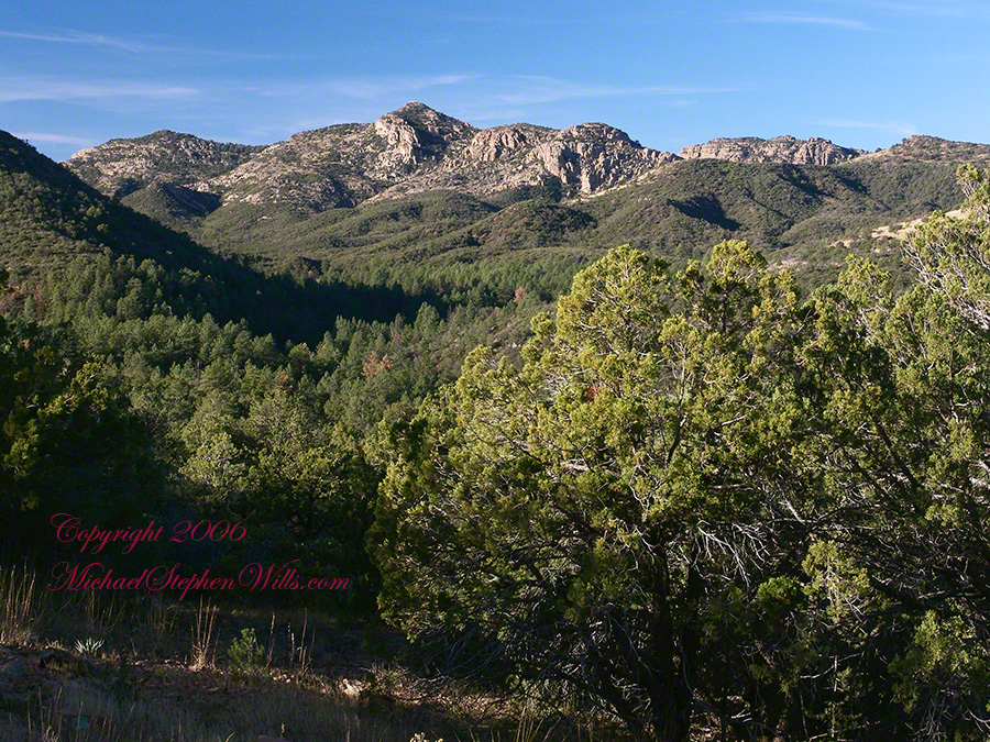
This photograph, above, is from a lovely forest of pinyon trees that grow along the trail to Circlestone (described by the Searcher as rising from the southern Reavis Valley). You can see the valley, just to the right, and a longer and steeper valley that rises from it up to White Mountain. That way is the southern legs of Reavis Trail. I have a movie clip from this same spot of the pinyons moving in the breeze and may post it at a later time.
All of the trail to Circlestone is a climb. You pass over “Whiskey Spring”, named for a still kept there in the 1800’s and over a steep defile gouged from the rock. The trail is well marked and I am told that, sometimes, there is no cairn marking the trail to Circlestone. If you are desperate to get there, look-up some excellent hiking directions available on the web. I have even found the circle on GoogleEarth, since I know where to look. If you like a challenge and the adventure, go from the directions the Searcher gave me.
Four Peaks from Circlestone
From the fire line trail, the unmarked branch to Circlestone climbs steeply and follows a ridge through Alligator juniper, punctuated by stalks of century plant, to a broad way that rises to Circlestone as though to a monument overgrown by the same juniper.
My Circlestone Mystery
There was an unusual experience on our first trip, on this portion of the trail. We were winding through the Juniper and, as it happened, Diane fell behind. After awhile I missed her and waited and, after a minute, went back to look for her. I found Diane sobbing uncontrollably, deep in grief over our father who passed away eleven years before. We talked about it until she felt better. She said it was as though a door opened and she could feel out father. What makes this exceptional is Diane is not given to anything like this and I ascribe her deep grief to the nature of the site. It is a mystery to this day.
At Circlestone, that first trip, we explored and experienced the site. You cannot see the entire wall at any point and need to wander through and over it, being careful not to disturb anything. Here and there, in the outer wall, are openings like the one in this photograph.
Site-Hole in the Circlestone Wall
At Circlestone
I call it a site hole because, on your knees, it is possible to look through and see the distant view through the trees. As you can see, the stones are a striking red color with green lichen growing thick.
On the second trip in November, knowing the way and having great weather, I brought my cameras to capture the exceptional views, one of which is above. I’d dearly love to come back to camp just below the ruin and do some work in the evening and morning light. For now, I can enjoy those views from Castle Dome.
Three Horsemen and Castle Dome
Can you see the dome in the middle distance. I did a portrait of three horsemen who road up to Circlestone in November. We came to know them pretty well, that afternoon and the following morning down in the valley.
Three Horsemen
I carted up a tripod, so you can see Diane and I in the same spot.
Mike and Diane at Circlestone
Copyright 2023 Michael Stephen Wills, All Rights Reserved
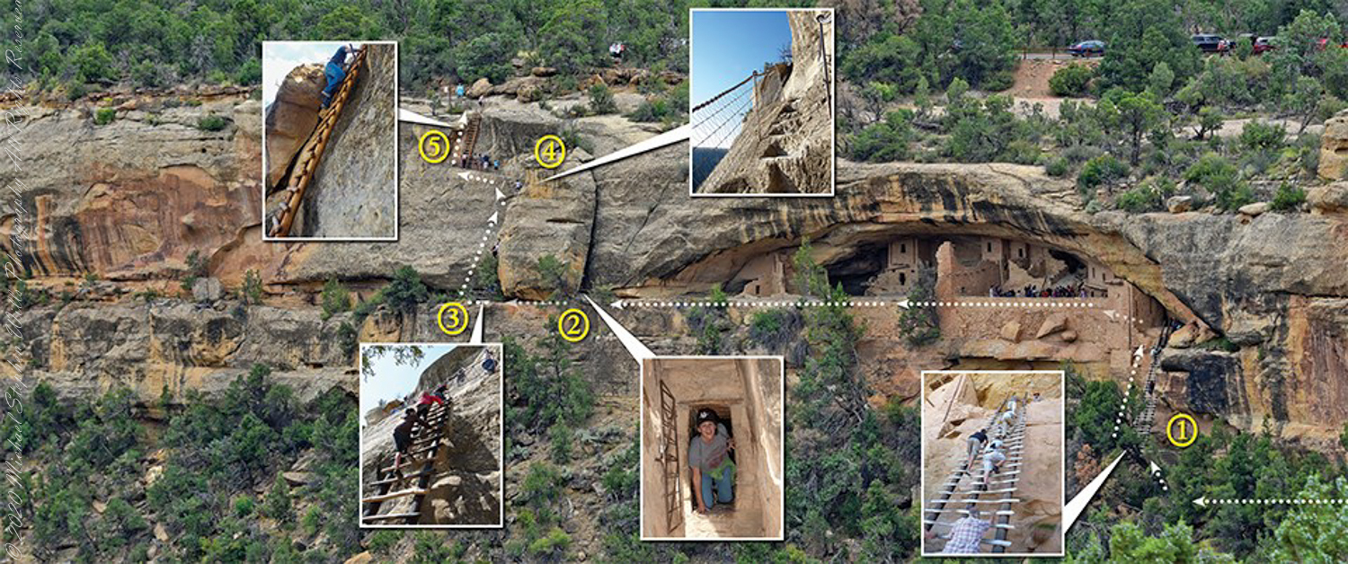
A visit to Balcony House is a 0.25-mile (0.4 km) hike. The tour requires walking down a 130-step metal staircase then, (1) climbing up one 32-foot (9.8 m) ladder to enter, two small ladders, and 12 uneven stone steps within the site.
(2) crawling through an 18-inch wide (46 cm) by 12-foot (3.7 m) long tunnel as you leave the site.
(3 – 5) ascending a 60-foot (18 m) open cliff face with uneven stone steps and two 17-foot (5 m) ladders to exit. Mesa Verde National Park, near Cortez, Montezuma County, Colorado.
Photograph and caption (above) is from the US Park Service, Mesa Verde, Balcony House tour web site
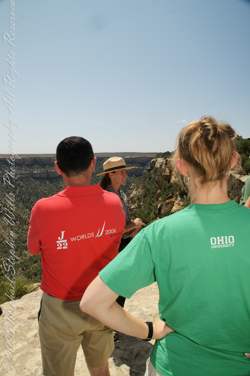
We purchased our timed tour ticket at the visitor center at the foot of the Mesa, essentially a flat top mountain rising dramatically from the surrounding plain. In the second photograph we are looking over the mesa rim overlooking Soda Canyon.
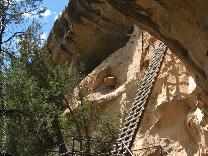
The tour is a small adventure, starting with a climb down into Soda Canyon and a climb up a 32 foot ladder. The ladder is solid and we had plenty of time to climb with one person ascending at a time. I was a bit overwhelmed by the experience and had my equipment tucked away for safety. I had to leave my sturdy tripod in the car. A more adventurous photographer captured the following ladder photograph.
Here we are looking back to the entrance, where visitors crawl on hands and knees to enter.
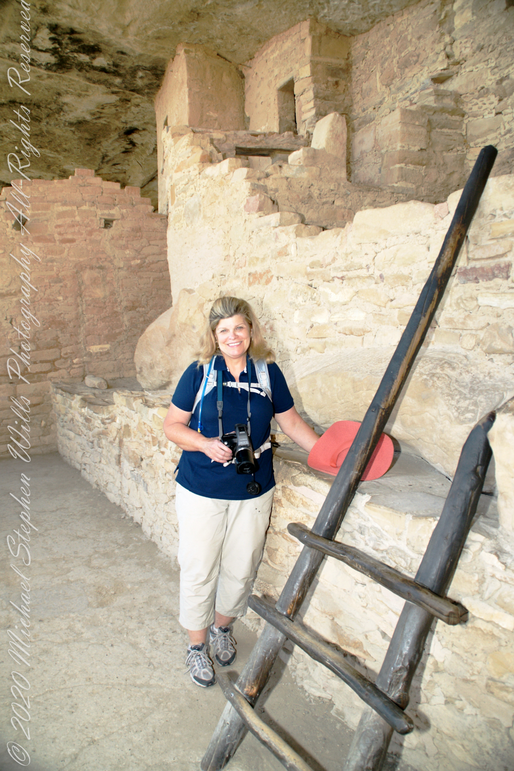
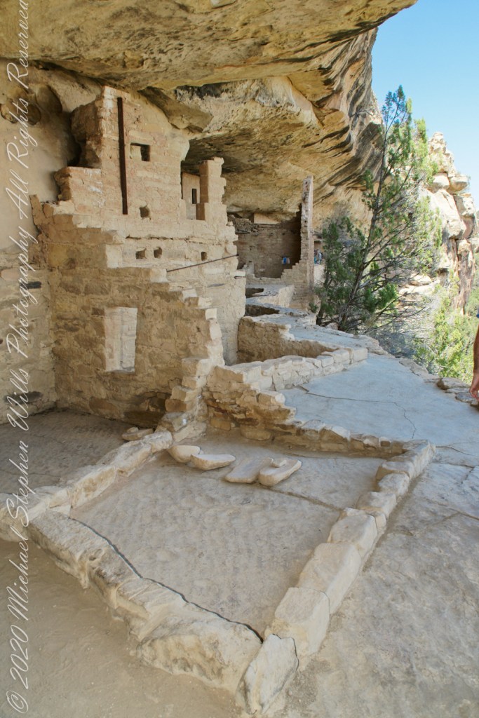
Here is Pam twenty two (22) minutes into the tour. The structures are build into a naturally occurring cleft in the mesa cliff, below the rock shelf of the mesa top. The rock shelf is the roof above Pam.
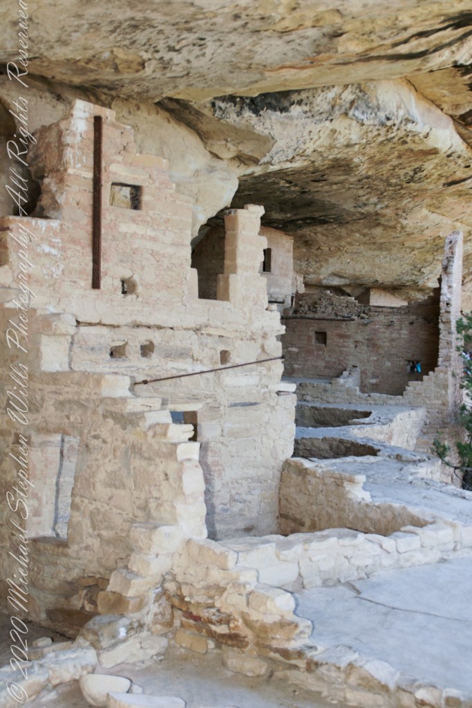
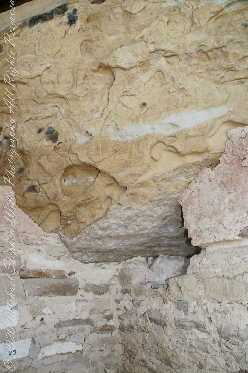
Looking up to the ceiling above a rock and mud wall. The structures have been carefully, lovingly, conserved since the rediscovery of Mesa Verde in 1884. The conservation work began 1910.
The 38 rooms and two kivas house up to 30 people. The cliff northeast facing cliff provided little warmth from the sun in winter. At 7,000 feet and 37 degrees latitude, the mesa is cold wintertime — the average low being 18 degrees Fahrenheit (minus 8 Celsius). As other locations offer a southern exposure, the warmest side for the northern hemisphere, why was this site chosen by the ancients? The answer is found in the two water seeps emerging from the ground at the juncture geological layers where the water gathers and finds a way from surface rainfalls. The high desert climate here was dry then and now.
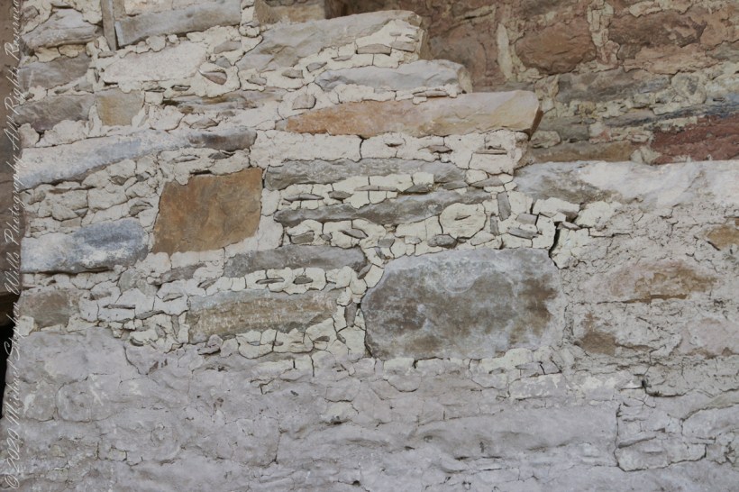
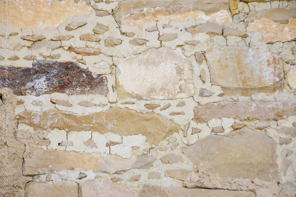
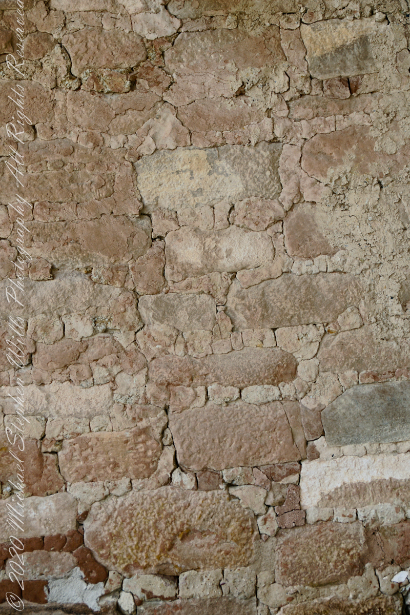
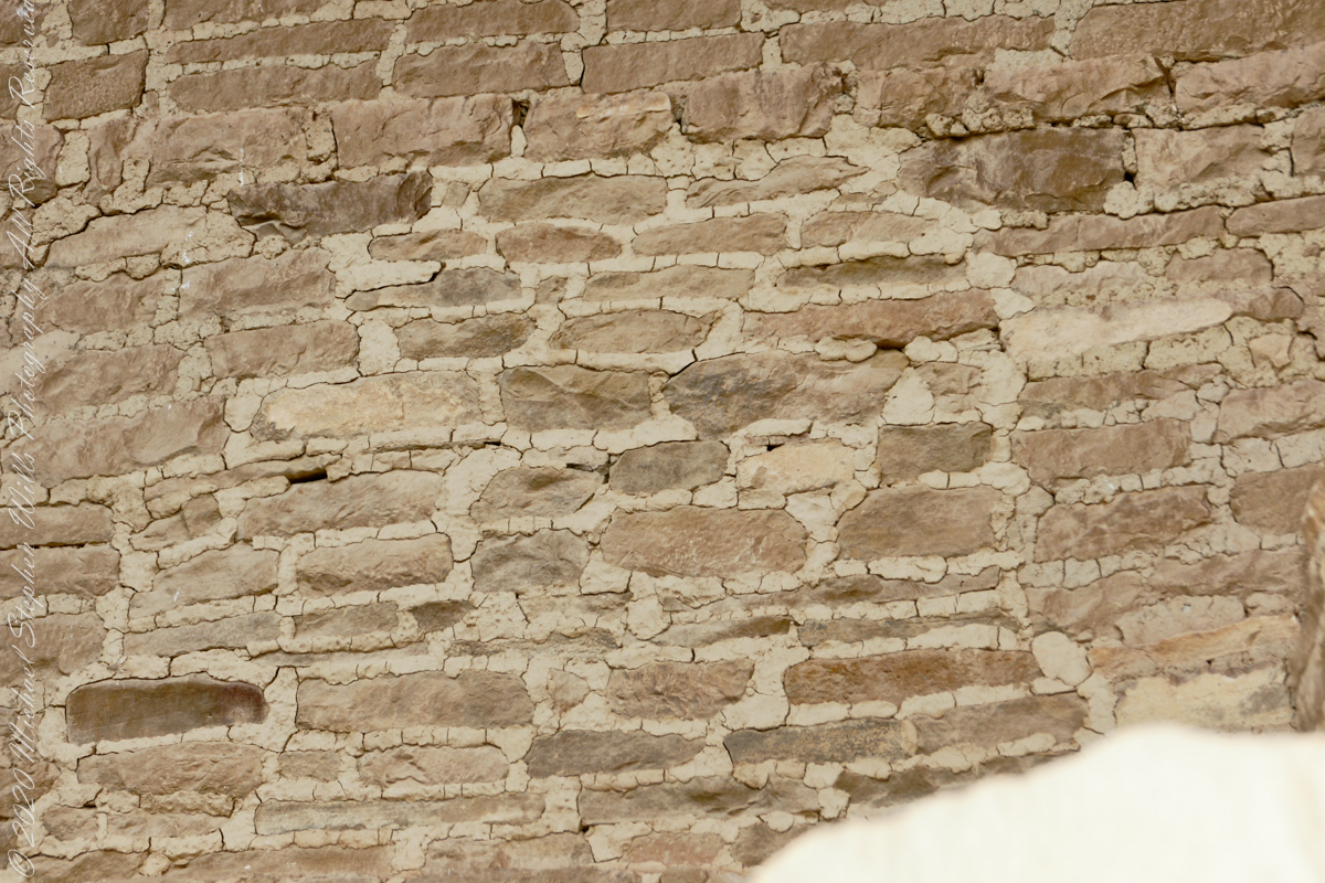
The walls demonstrate an enormous variety around basic patterns.
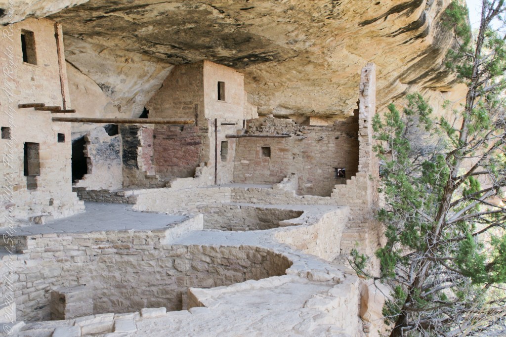
Plaza
I had enough time to capture these “fine art” views of Balcony House, looking back toward the entrance. The round, in-ground structures are kivas, ceremonial and communal gathering spaces.
Possibly the most adventurous and potentially frightening tour component was the end, crawling on hands and knees along an 18 inch wide (46 centimeters) 12 foot long (3.7 meters) tunnel followed by a climb up a 60 foot (20 meters) open (exposed to falling over) cliff face.
Copyright 2023 Michael Stephen Wills All Rights Reserved
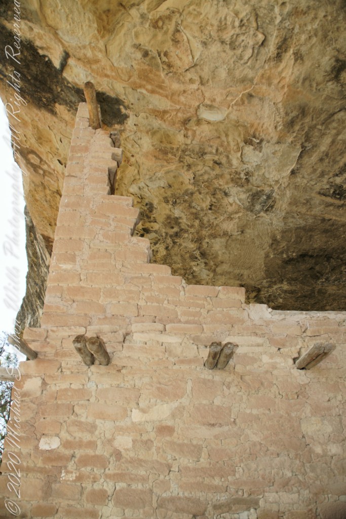
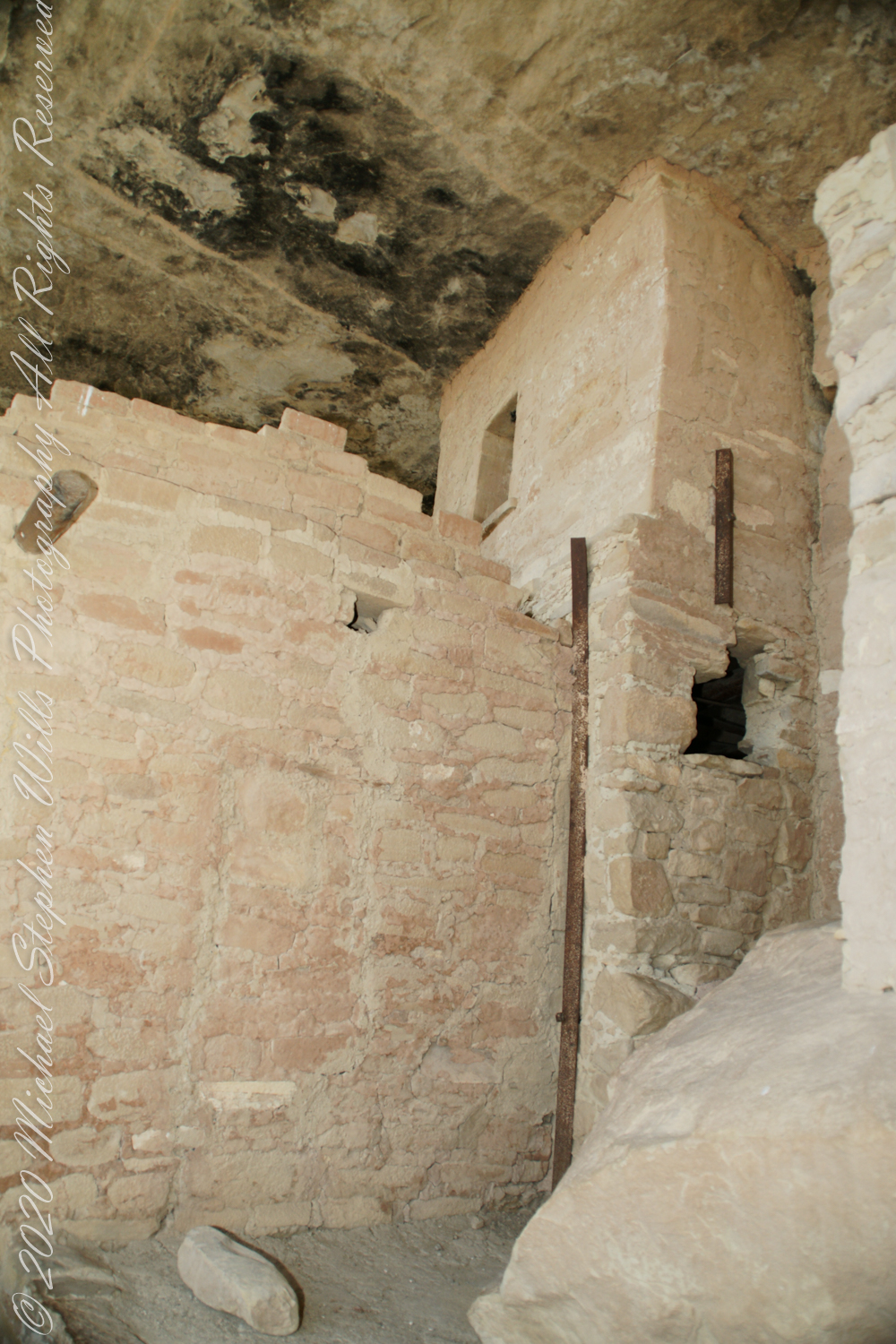
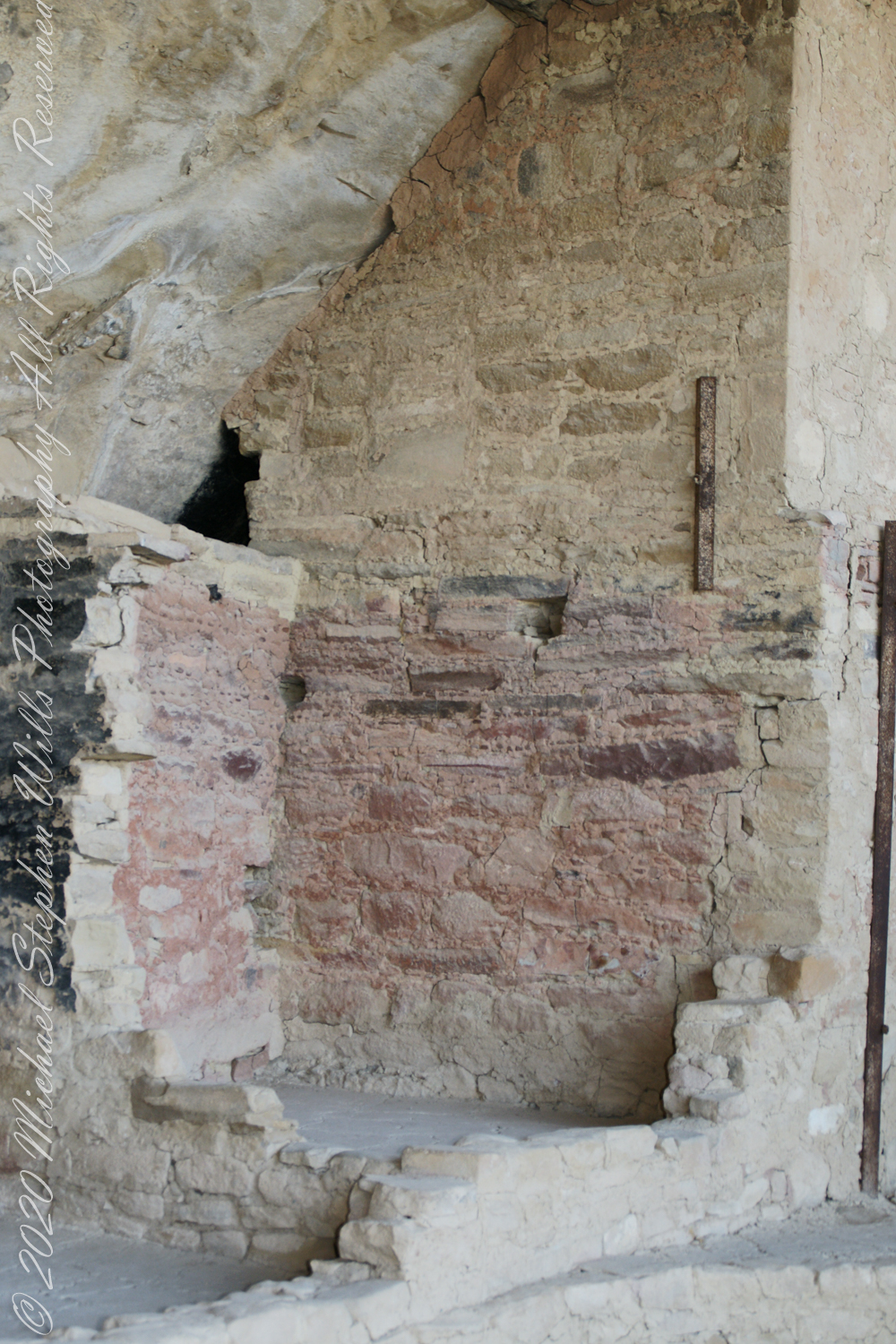
When the ancestral Puebloans moved from living next to their fields, in adobe structures, to these cliff dwellings, their building techniques were left behind.
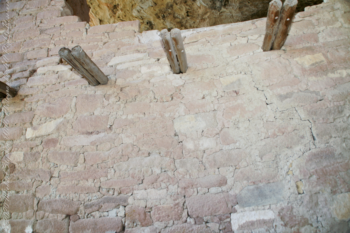
Stone and Mud Mortar with wood beams. Mesa Verde National Park, Montezuma County, near Cortez, Colorado.
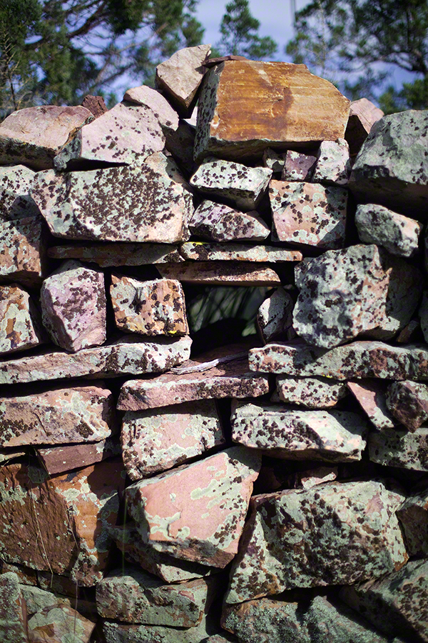
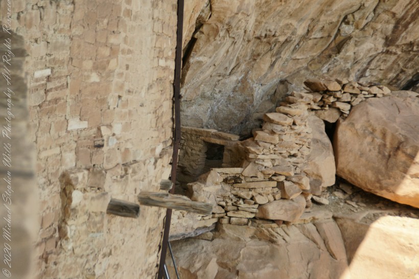
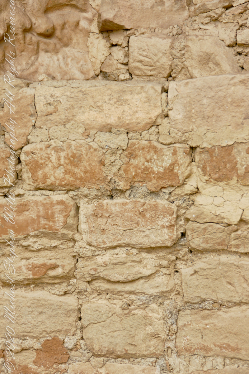
Mud mortar was used to bind stones. Wood poles were used for to construct floors. These are walls captured during the Ranger guided tour of Balcony House.
..
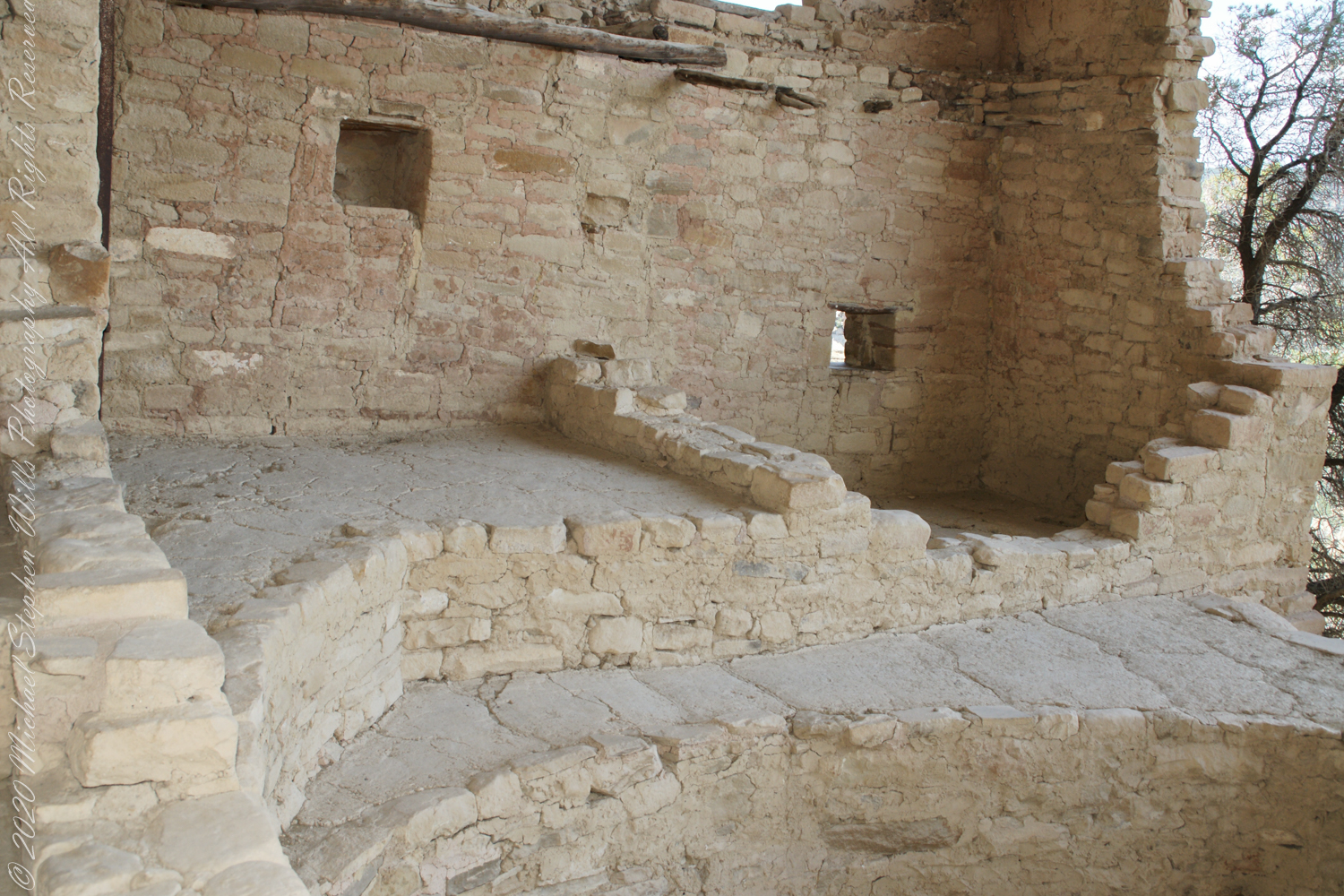
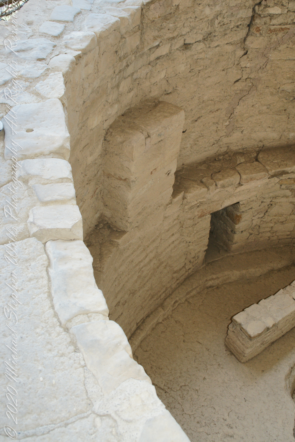
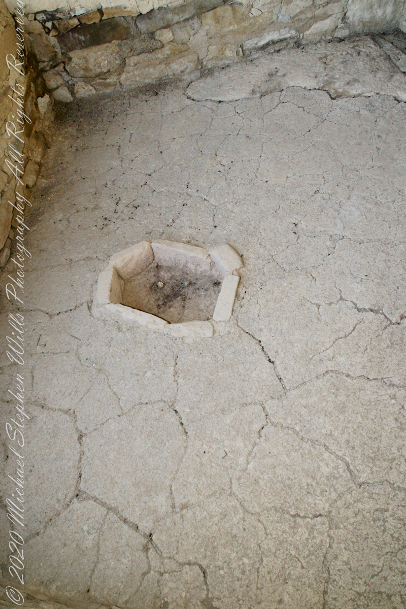
This flat Kiva floor was achieved through clay, softened with water, formed and allowed to dry.
Clay Kiva Floor. Mesa Verde National Park, Montezuma County, near Cortez, Colorado.
Cliff Palace
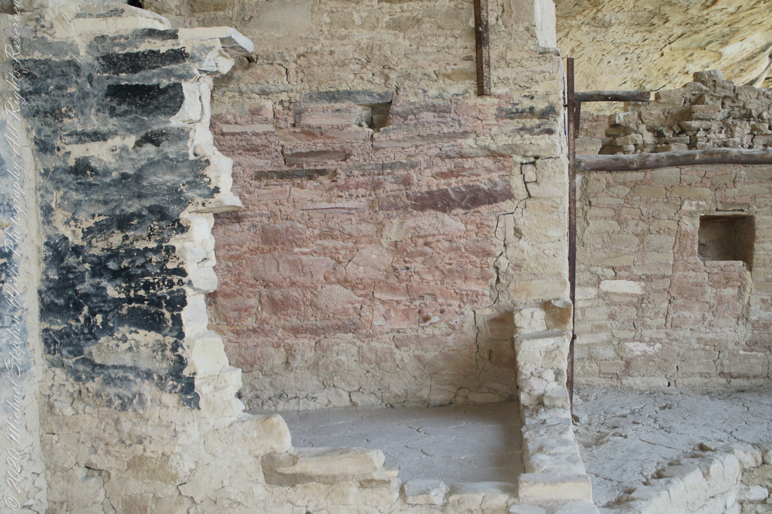
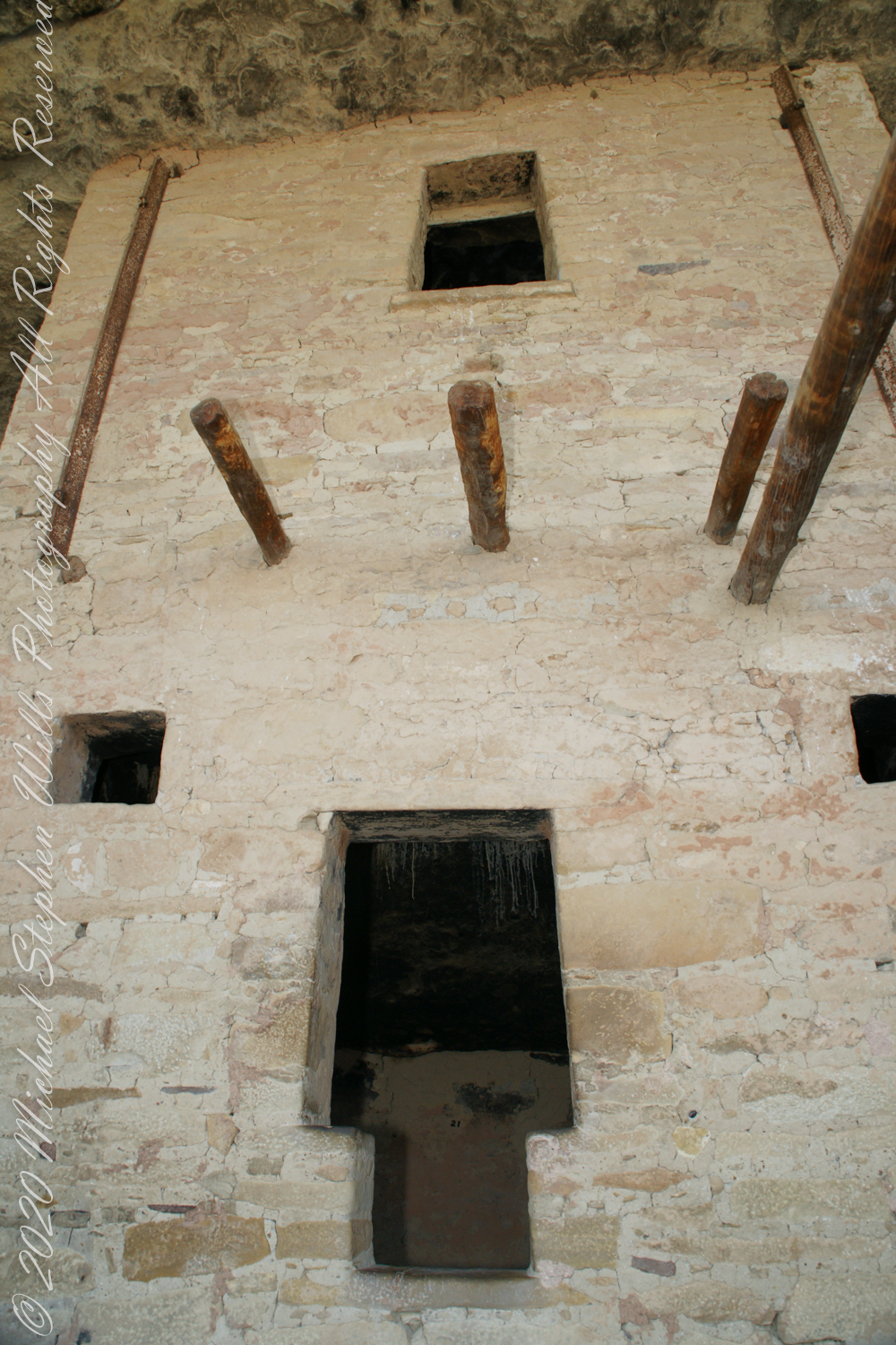
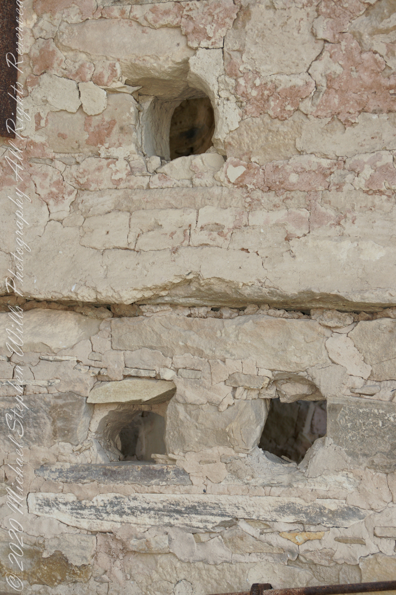
In this wall the poles rotted and crumbled, leaving behind these characteristic holes.
These architects excelled with adapting to the materials at hand.
.
The walls demonstrate an enormous variety around basic patterns.
Copyright 2023 Michael Stephen Wills All Rights Reserved