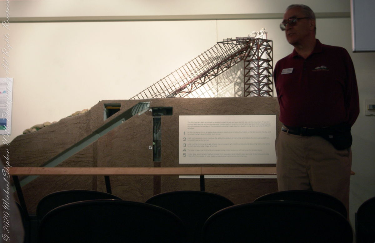
These views within the McMath–Pierce solar telescope enclosure were captured during a guided tour of the instrument, April 20, 2005. By way of orientation, think of yourself at the location labeled “4” on this model. This is the only large telescope where humans can view the interior and visually experience the light paths “bouncing” between the mirrors.
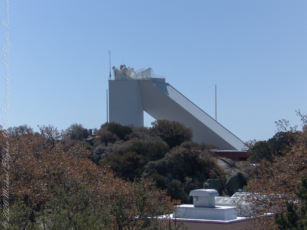
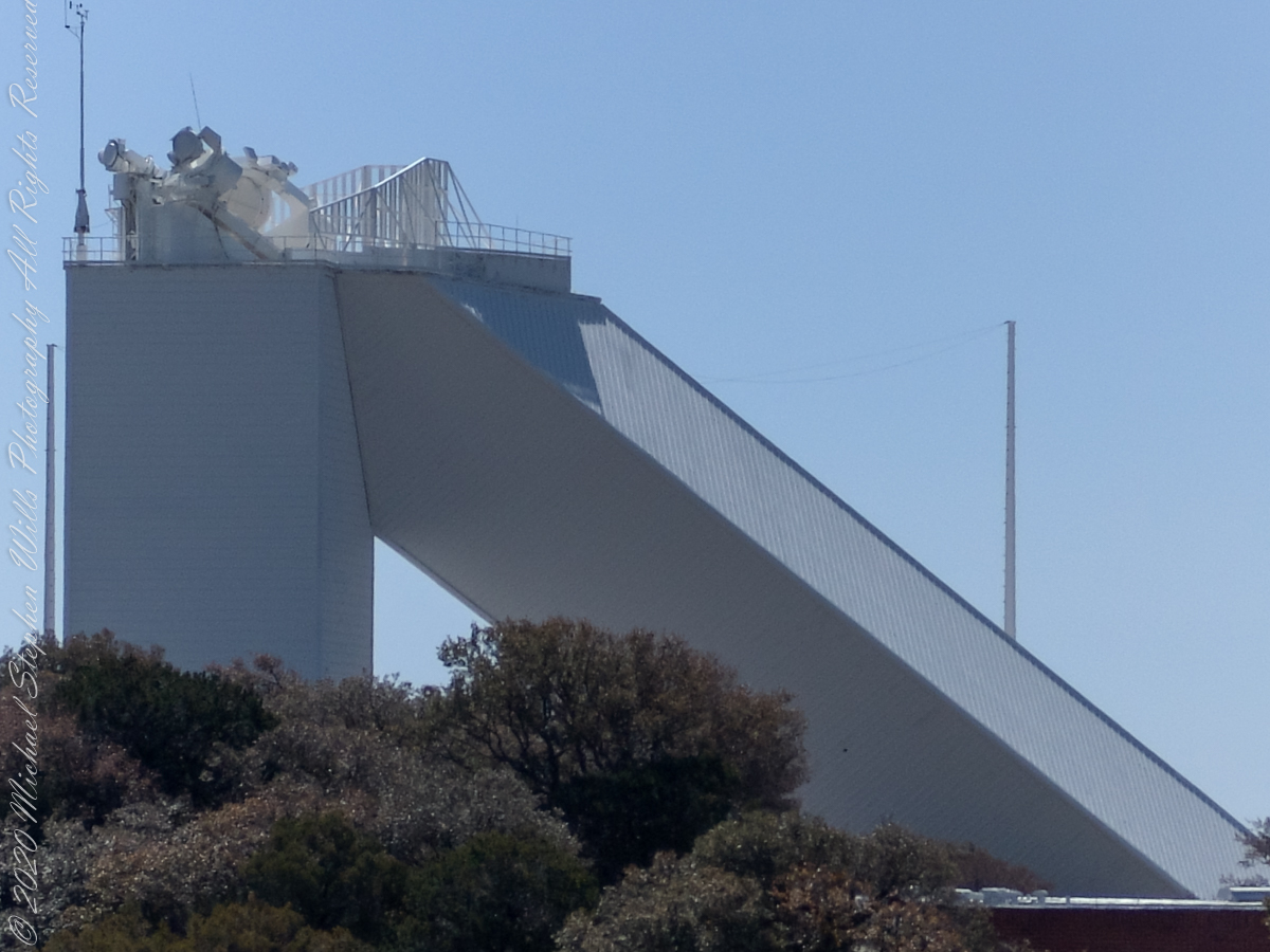
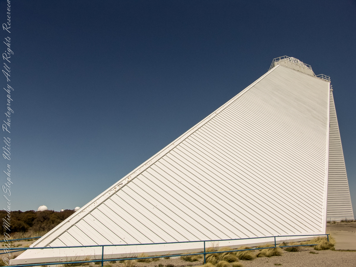
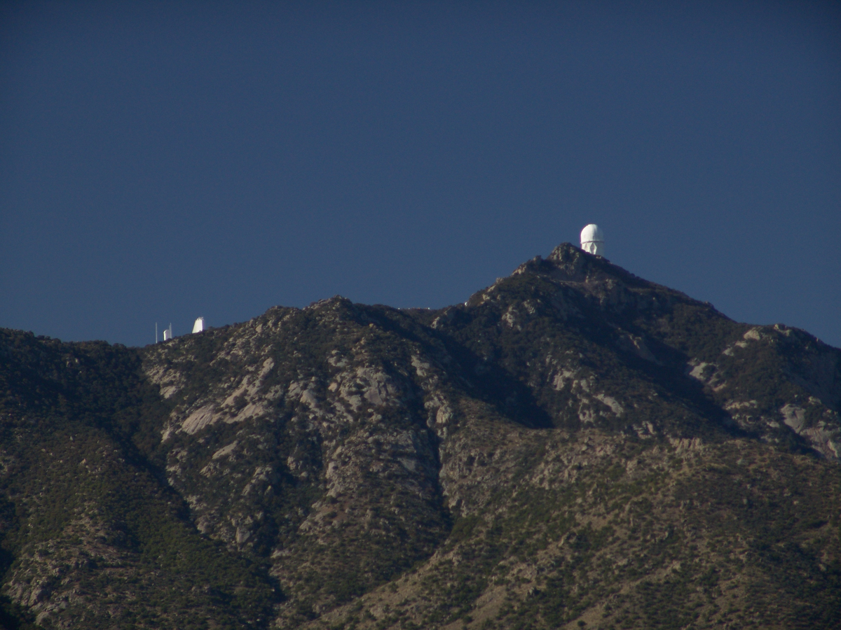
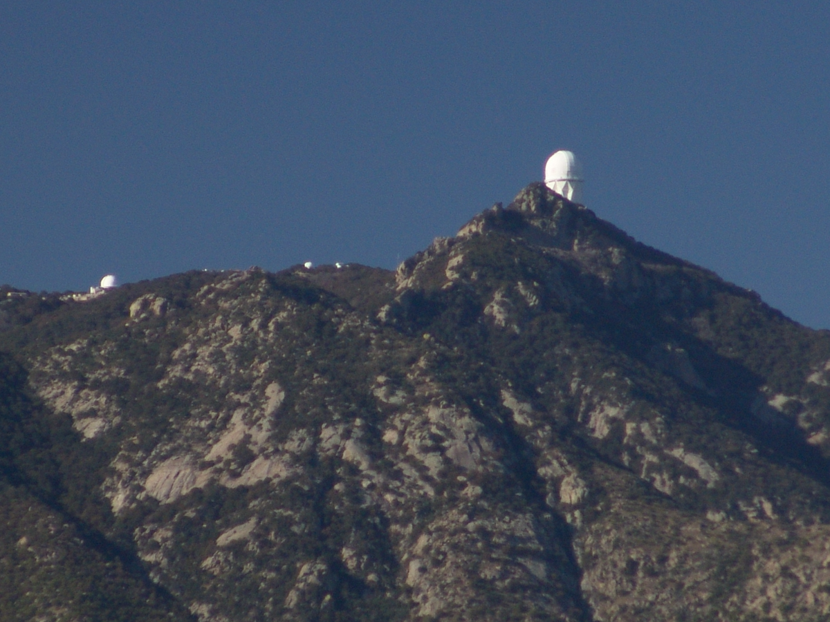
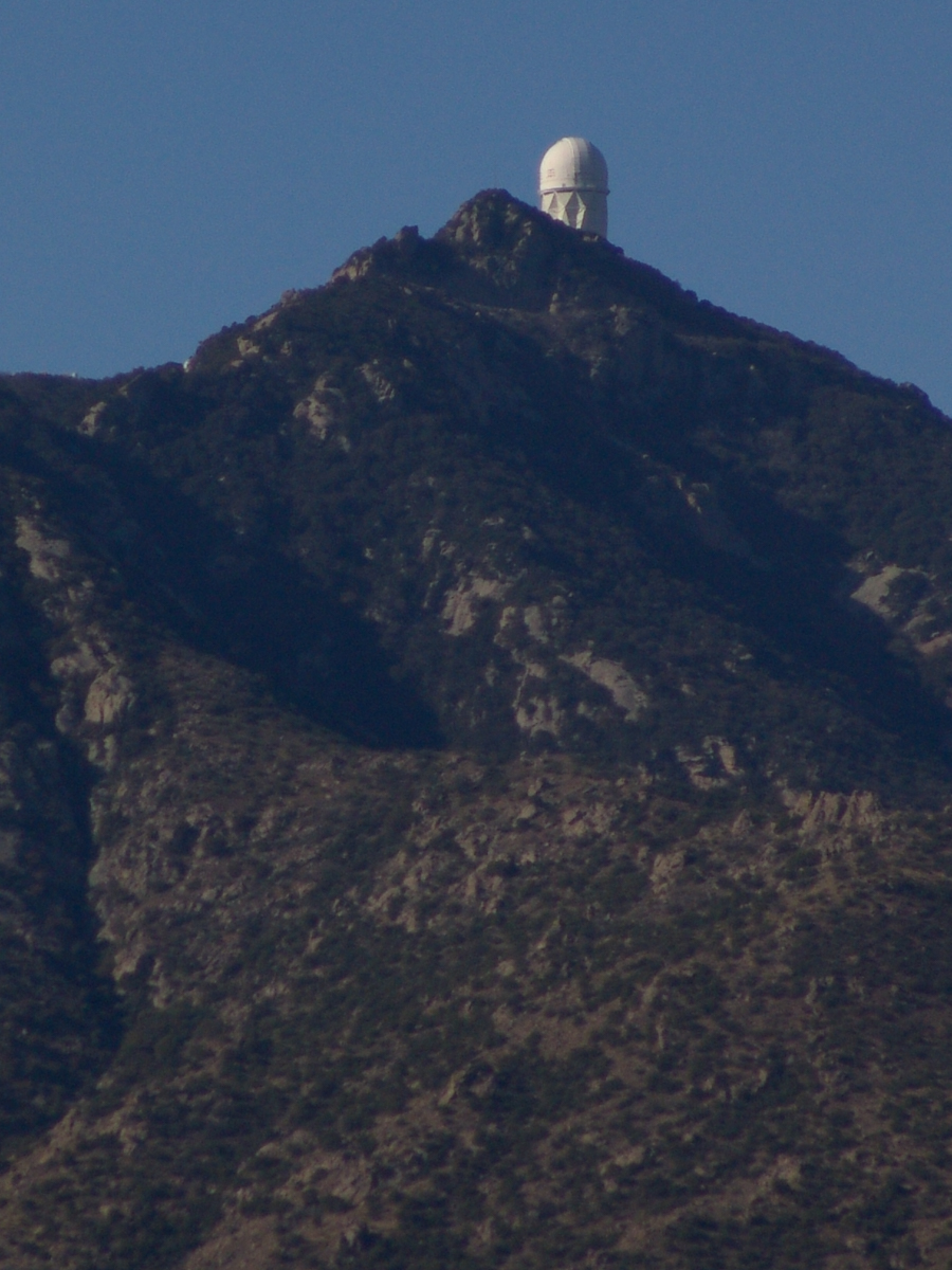
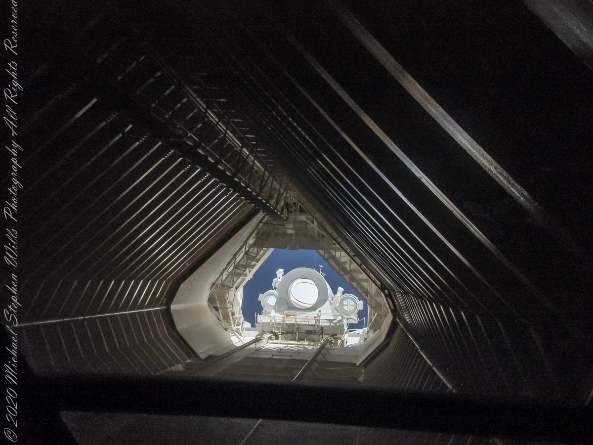
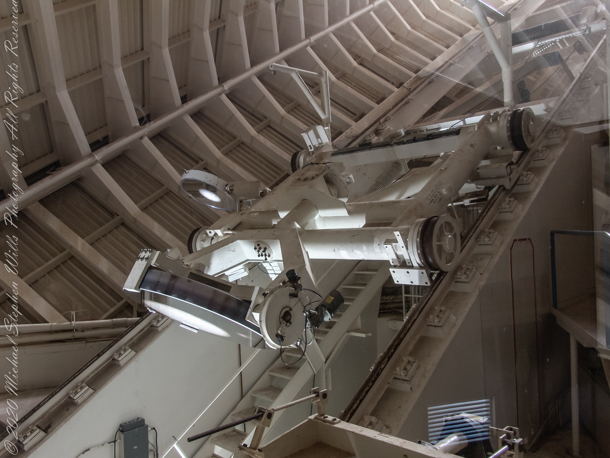
McMath–Pierce solar telescope has three heliostats mounted on a 110-foot tower adjacent to a slanted enclosure. The 2.03-meter heliostat feeds a 1.61-meter primary mirror, there are 1.07-meter and 0.91-meter primary mirrors fed by a pair of 0.81-meter heliostats. Here we are inside the slanted enclosure, looking up the shaft to the tower mounted heliostats, readily identified as the three circles, the largest at center (3.51 feet in diameter). The smaller (2.66 feet) heliostats named “East” (on left) and “West.”
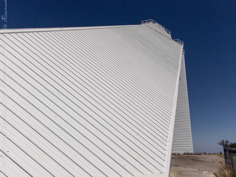
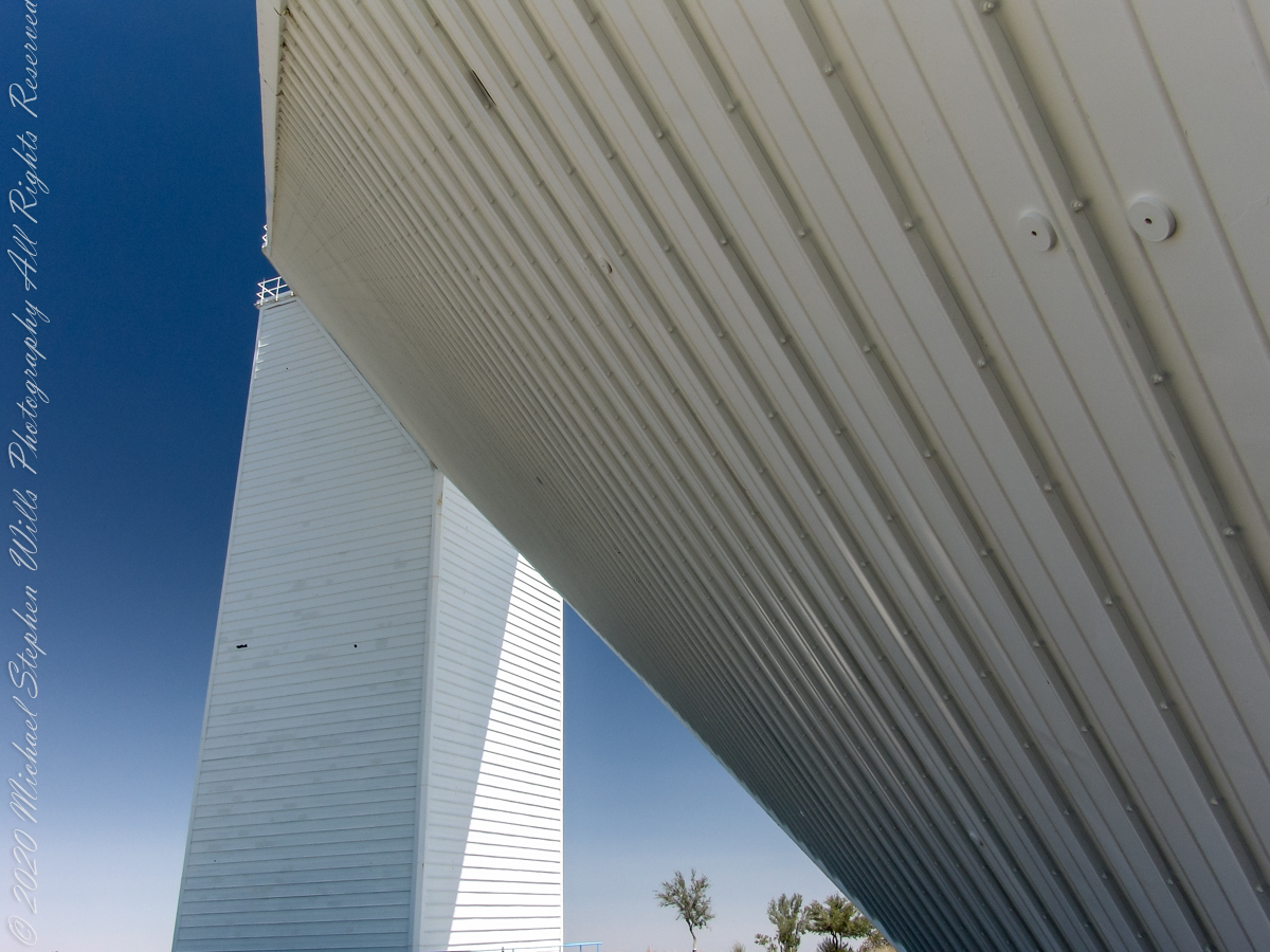
Built in 1962, the building was designed by American architect Myron Goldsmith and Bangladeshi-American structural engineer Fazlur Rahman Khan. It was the largest solar telescope and the largest unobstructed aperture telescope in the world. It is named after the astronomers Robert Raynolds McMath and Keith Pierce. Painted white to reflect sunlight to reduce heat accumulation, the enclosure is water cooled to prevent convection currents through the column of air within the slanted enclosure, keeping the air as still as possible along the light path between the mirrors.
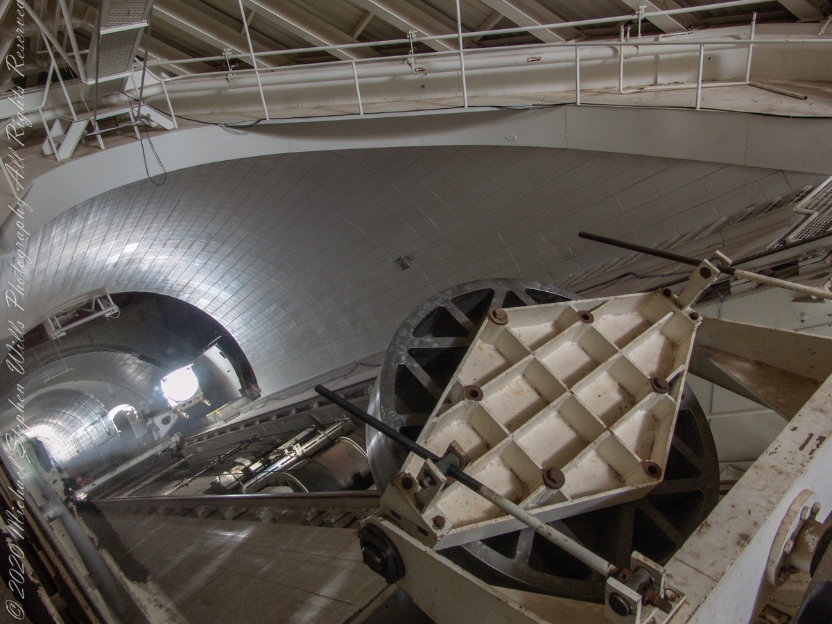
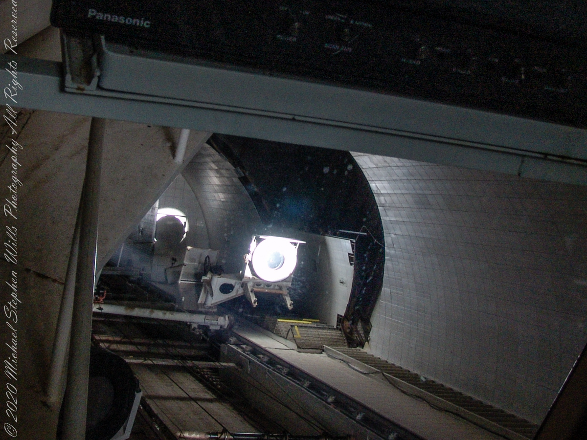
In the three photographs following, we face the underground portion of the slanted shaft and (what looks to be) the 0.91 meter (2.99 feet) primary concave mirror. I say that because in some of the photographs a beam of light, to the left of the mirror, can be seen travelling further underground, presumably to the largest primary mirror. As there is only one such light beam, I conclude the west heliostat is inactive.
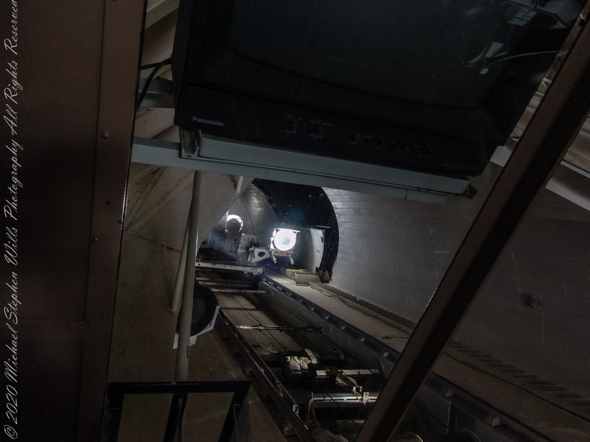
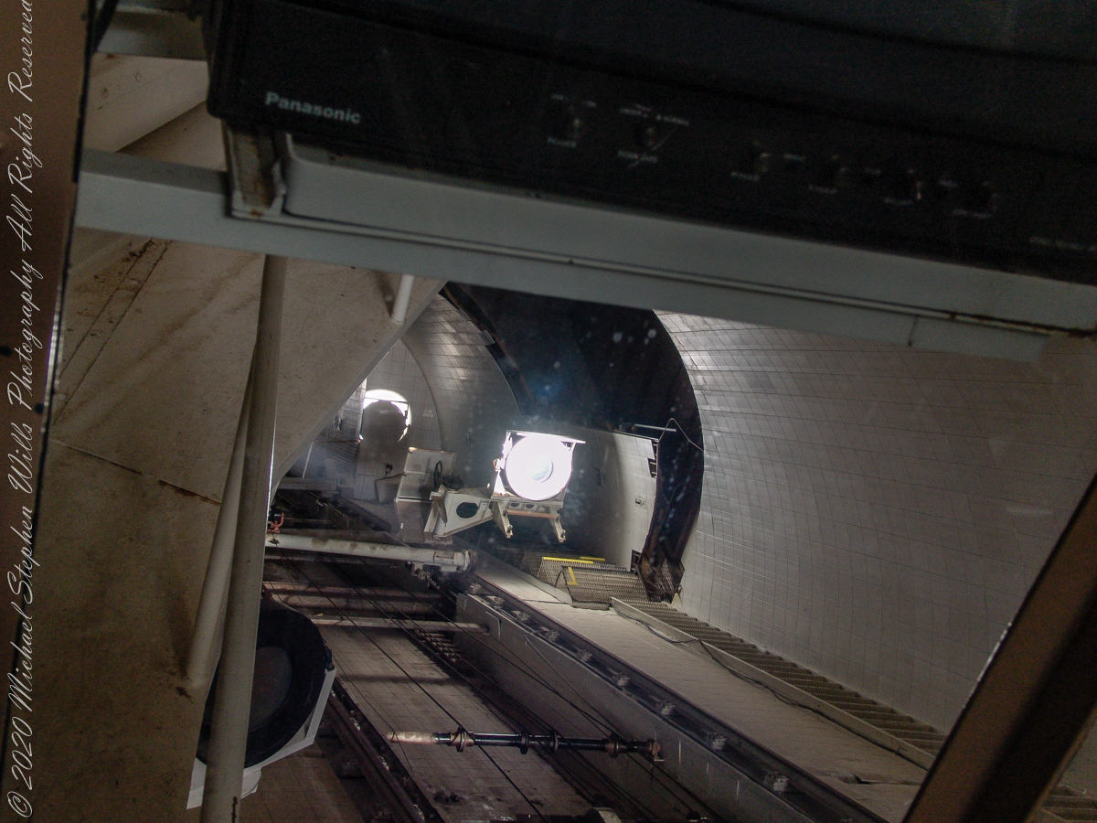
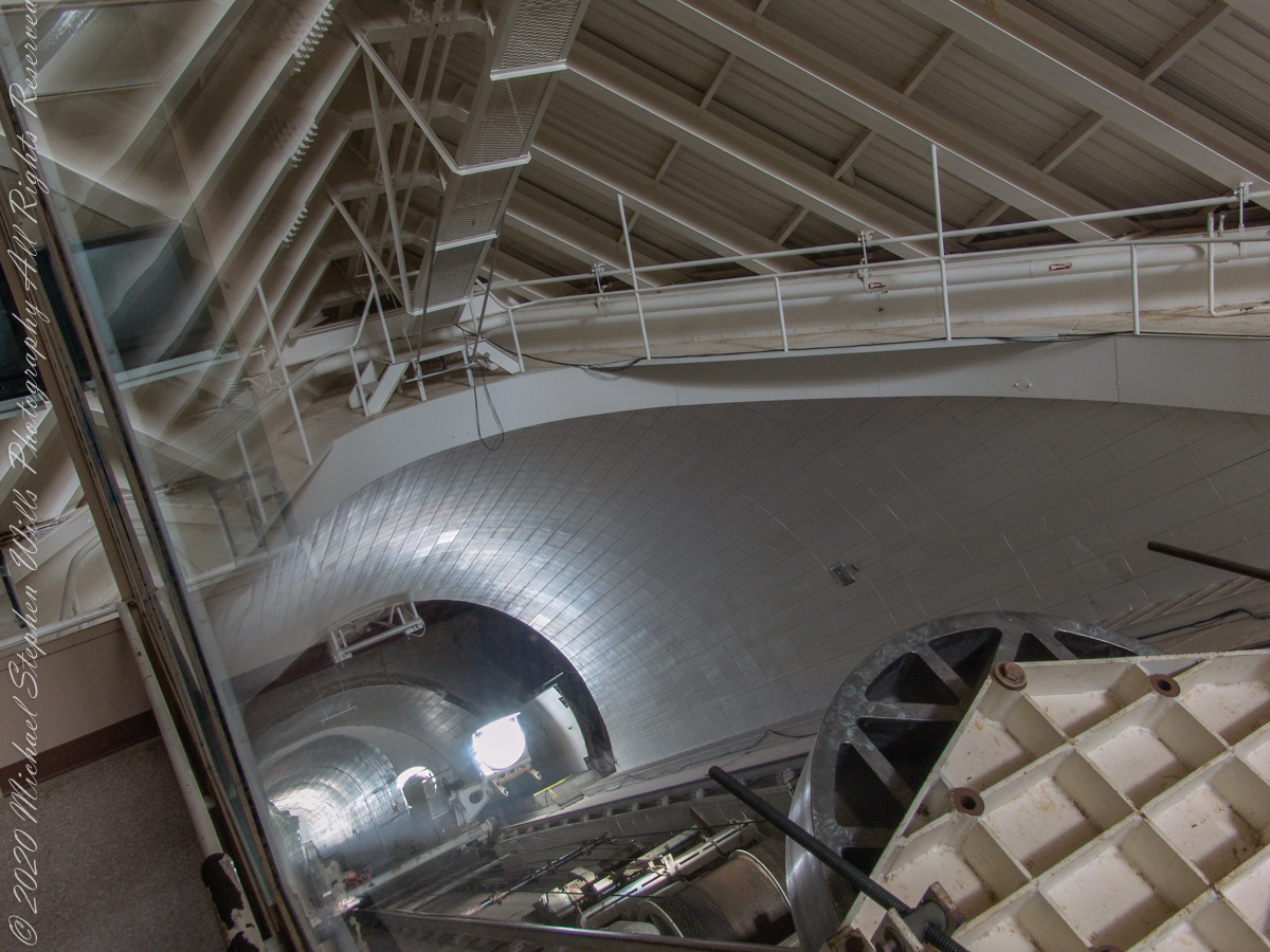
Here we looking up the slanted enclosure. Look carefully at the first photograph, below, to see reflections on the glass partition. The observation platform was separated from the light paths to maintain the stillness of the air column. The two mirrors of the first photograph are the third mirror, reflecting concentrated sunlight from the 0.91 and 1.61-meter primary mirrors into the observatory rooms. The mirror for the 1.07-meter primary is out of sight in foreground, I believe this set of three mirrors (West heliostats, primary and third) was out of service.
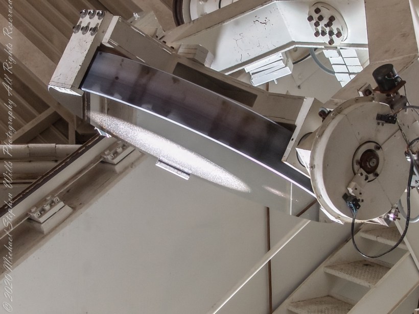
The second photograph, on right, is a close up of the third mirror for the largest primary. A foreshortened, perfectly round light disk is clearly visible.

Here we are inside the slanted enclosure, facing the underground portion of the slanted shaft and (what looks to be) the 0.91-meter primary concave mirror. In the lower right corner is the reverse side of the third mirror for the largest primary mirror, the 1.61-meter.